Oppstemten and Landåseggen (05.02.2026)

| Startpunkt | Haukeland sykehus (90m) |
|---|---|
| Endpunkt | Haukeland sykehus (90m) |
| Tourcharakter | Bergtour |
| Tourlänge | 2h 11min |
| Entfernung | 6,2km |
| Höhenmeter | 549m |
| GPS |
|
| Besteigungen | Ulriken Vest (607m) | 05.02.2026 |
|---|---|---|
| Besuche anderer PBE | Lorthaughytten (ruin) (570m) | 05.02.2026 |
| Nødkjelke, Ulriken (586m) | 05.02.2026 | |
| Oppstemten (321m) | 05.02.2026 | |
| Ravnegrind (228m) | 05.02.2026 | |
| Stormfuglen (592m) | 05.02.2026 |
Oppstemten and Landåseggen
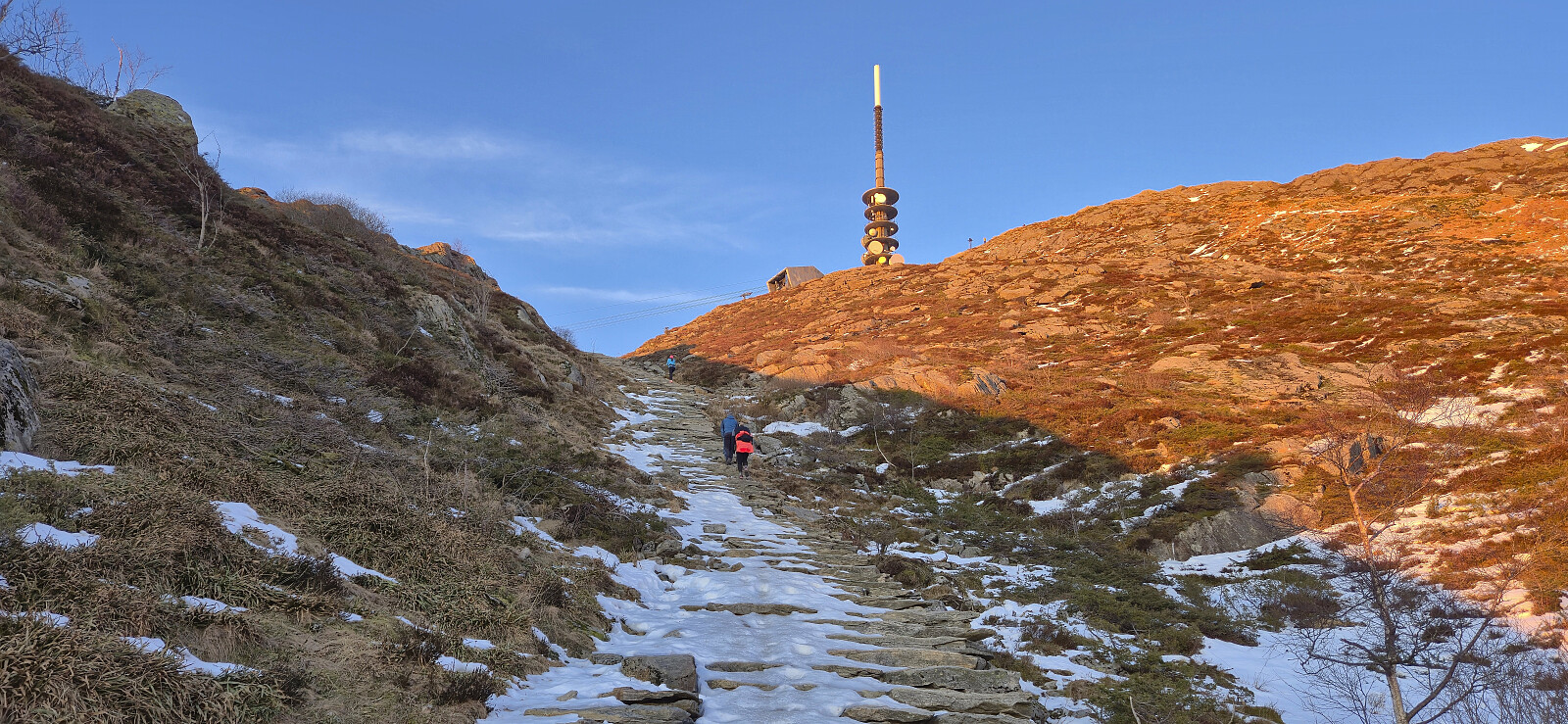
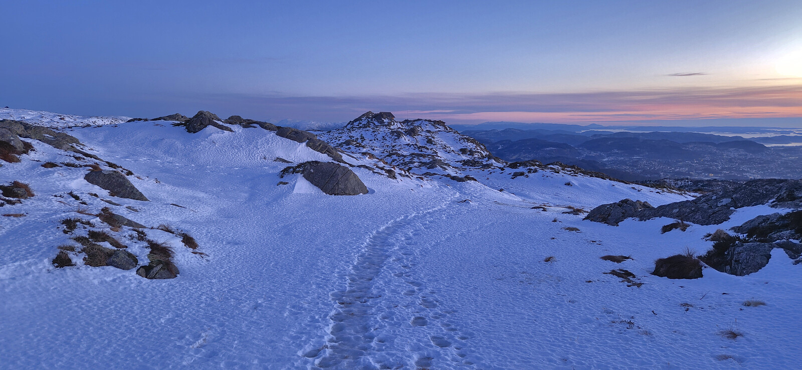
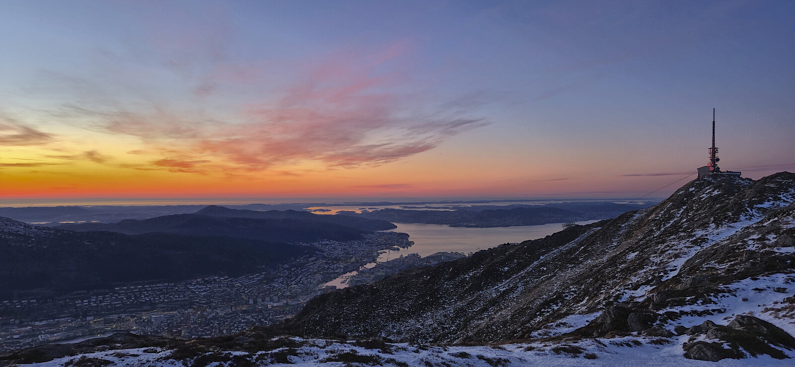
Short hike after work to catch the sunset at Ulriken. Lots of ice that made snow chains mandatory, especially for the final section of Oppstemten and for most of the following descent along Landåseggen, which most likely explains the unusually low number of other hikers on this sunny afternoon.

| Startzeitpunkt | 05.02.2026 16:09 (UTC+01:00) |
| Endzeitpunkt | 05.02.2026 18:21 (UTC+01:00) |
| Gesamtzeit | 2h 11min |
| Zeit in Bewegung | 2h 04min |
| Pausenzeit | 0h 7min |
| Gesamtschnitt | 2,8km/h |
| Bewegungsschnitt | 3,0km/h |
| Entfernung | 6,2km |
| Höhenmeter | 549m |

Benutzerkommentare