Nipetjørna, Gravdalsfjellet and Olsokfjellet (31.01.2026)

| Startsted | Fyllingsdalsveien (81moh) |
|---|---|
| Sluttsted | Fyllingsdalsveien (81moh) |
| Turtype | Fjelltur |
| Turlengde | 2t 24min |
| Distanse | 7,0km |
| Høydemeter | 474m |
| GPS |
|
| Bestigninger | Damsgårdsfjellet (344moh) | 31.01.2026 |
|---|---|---|
| Gravdalsfjellet (353moh) | 31.01.2026 | |
| Olsokfjellet (353moh) | 31.01.2026 | |
| St. Hanshaugen (124moh) | 31.01.2026 | |
| Andre besøkte PBE'er | Dovre i Nipetjernet (ruin) (251moh) | 31.01.2026 |
| Nordnæsdalen parkering (192moh) | 31.01.2026 |
Nipetjørna, Gravdalsfjellet and Olsokfjellet
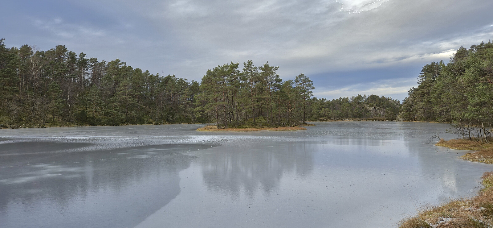
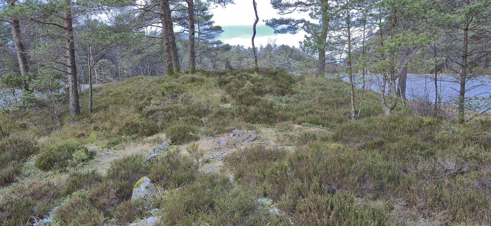
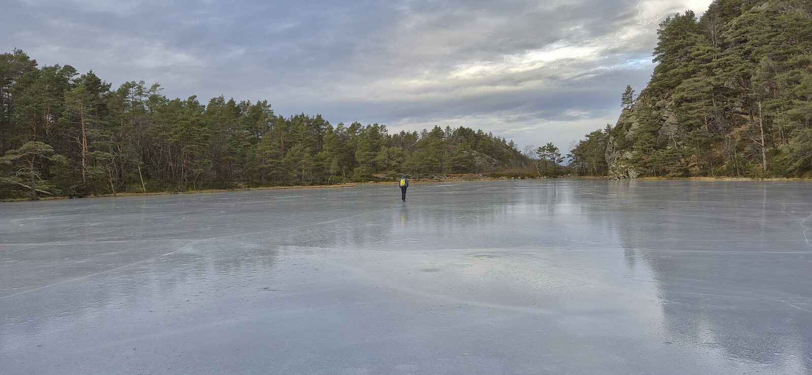
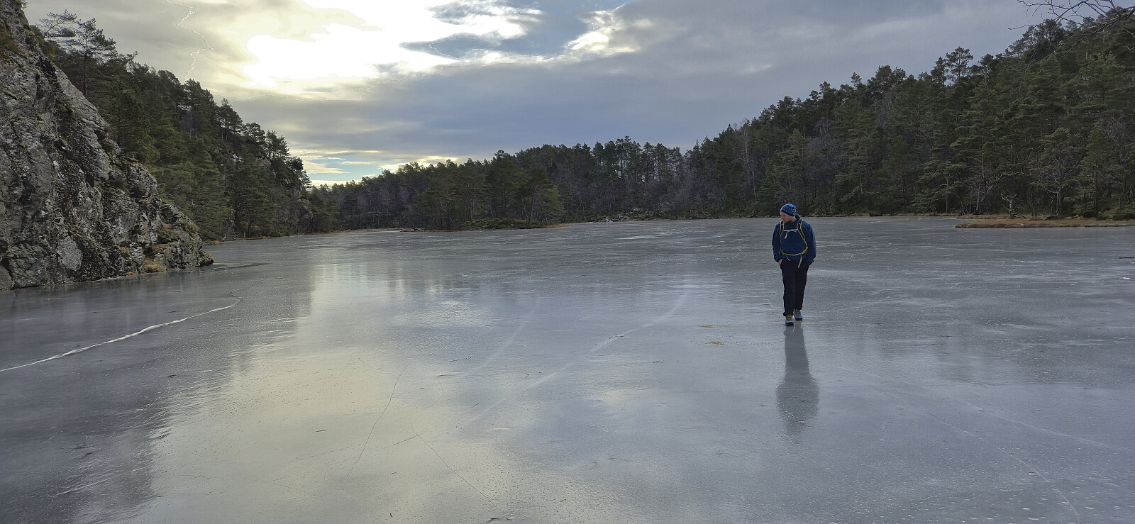
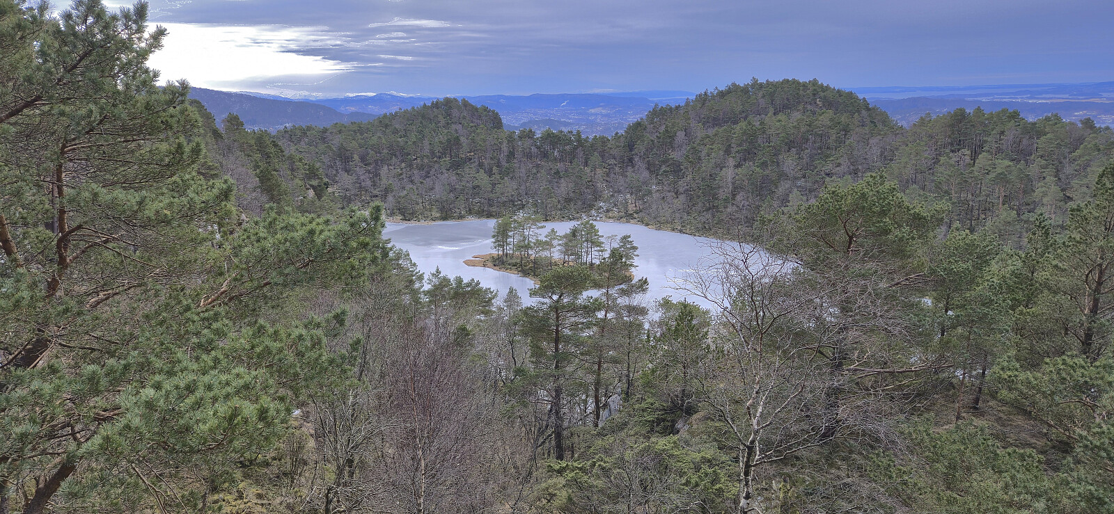
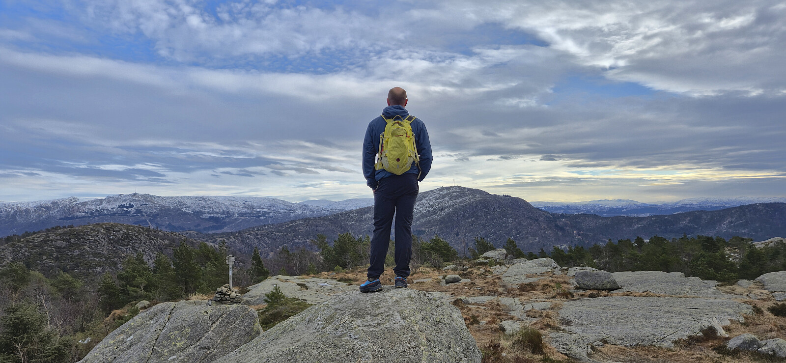
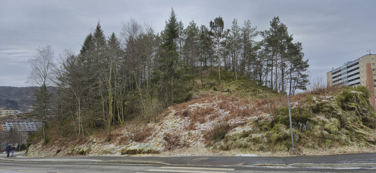
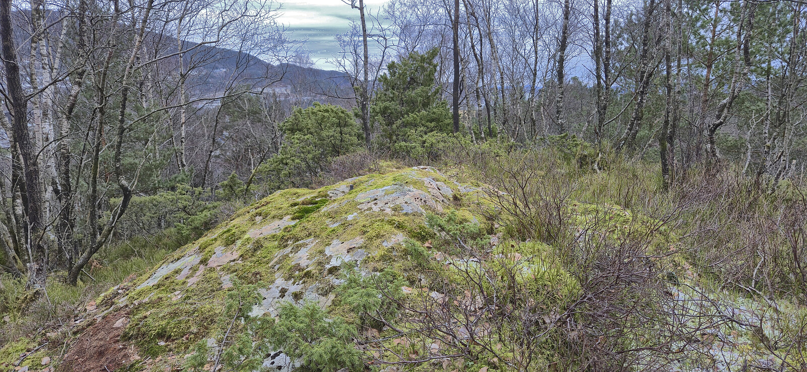
After an extended period of cold weather I decided to use the Saturday to visit the ruins of the cabin Dovre, located on a small island in Nipetjørna. Given that I would basically be passing by Endre's apartment on the way, I invited him to come along. As expected, there was a thick white ice covering the lake and we could therefore easily walk across to the island. Of the cabin there were only limited traces after it apparently burned down in 1977. With the main objective out of the way we continued via Gravdalsfjellet, Damsgårdsfjellet and Olsokfjellet before returning to Vestlundveien. Just as we were about to part ways, I noticed the small hill St. Hanshaugen which looked like it ought to be included on the Alle topper i Bergen list and at the summit we even found a small trig bolt. Takk for turen, Endre!
| Starttidspunkt | 31.01.2026 11:58 (UTC+01:00) |
| Sluttidspunkt | 31.01.2026 14:23 (UTC+01:00) |
| Totaltid | 2t 24min |
| Bevegelsestid | 1t 58min |
| Pausetid | 0t 26min |
| Snittfart totalt | 2,9km/t |
| Snittfart bevegelsestid | 3,5km/t |
| Distanse | 7,0km |
| Høydemeter | 474m |

Kommentarer