Støbotn to Salhus via Nordgardsfjellet (13.12.2025)

| Start point | Støbotn snuplass (74m) |
|---|---|
| Endpoint | Slettestølsvegen (47m) |
| Characteristic | Hillwalk |
| Duration | 2h 04min |
| Distance | 6.8km |
| Vertical meters | 351m |
| GPS |
|
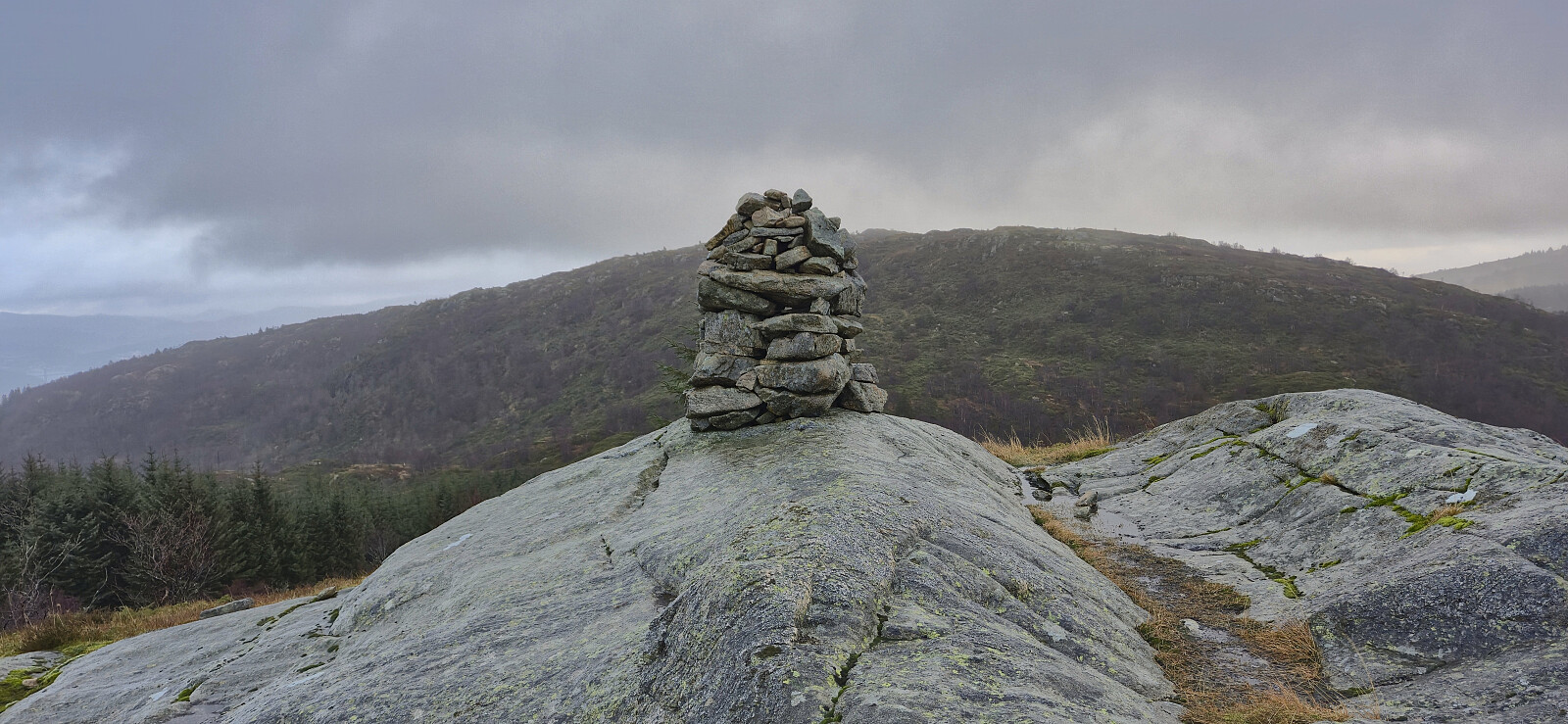
| Ascents | Nordgardsfjellet (355m) | 13.12.2025 |
|---|---|---|
| Visits of other PBEs | Rundhaugen (81m) | 13.12.2025 |
Støbotn to Salhus via Nordgardsfjellet
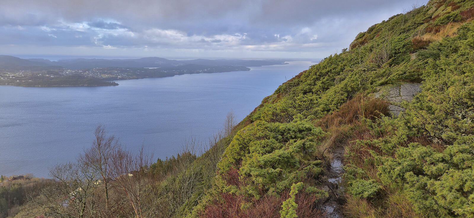
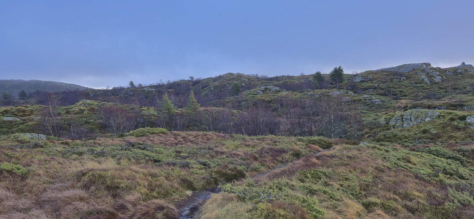
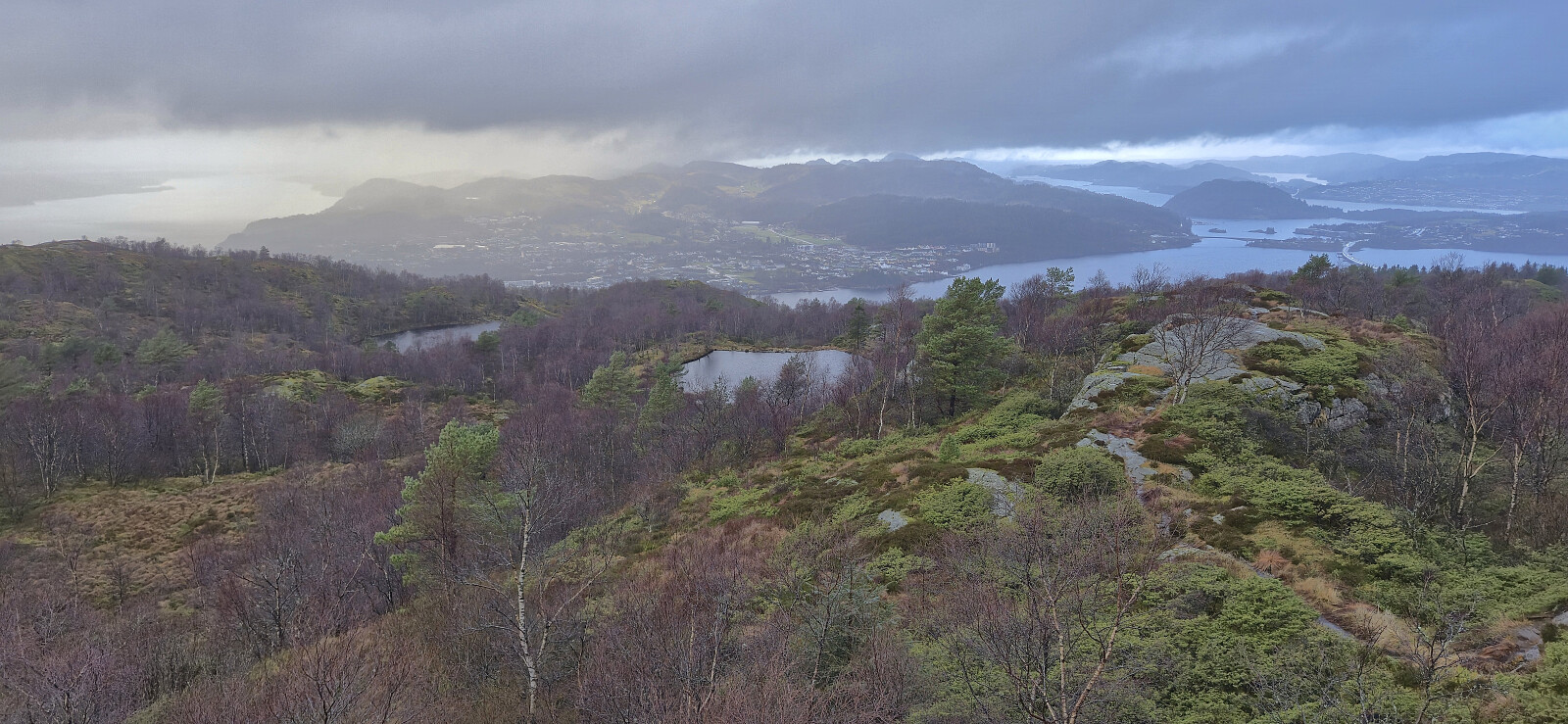
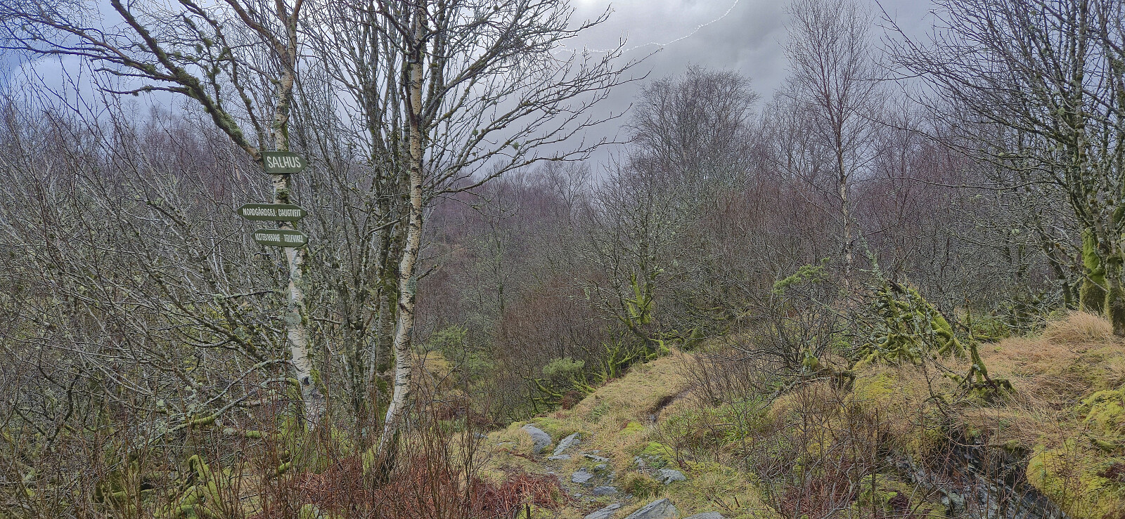
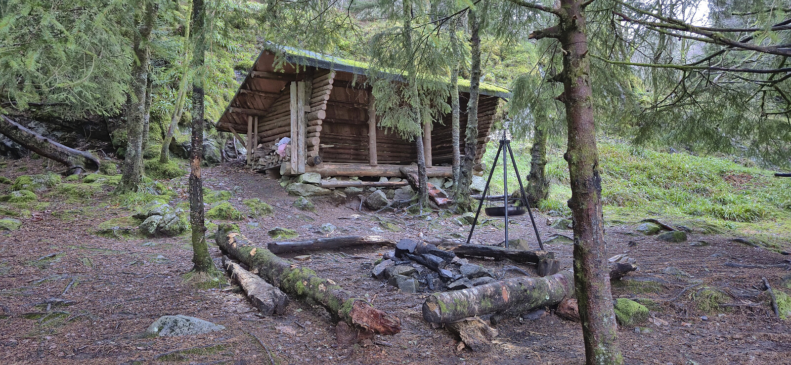
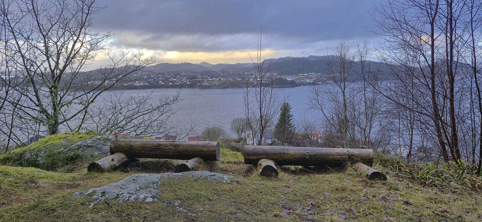
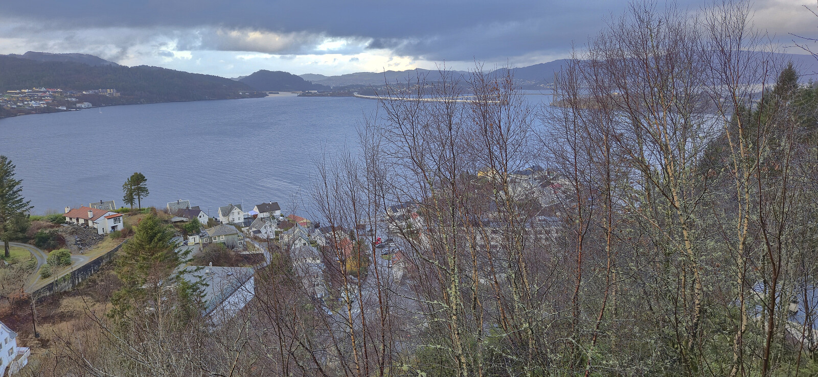
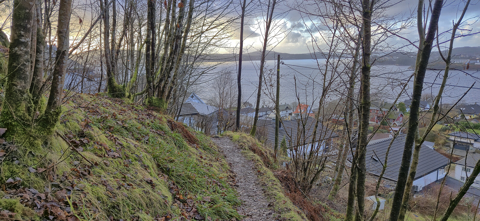
A revisit of Nordgardsfjellet via a (for me) new trail from Kistebakkane. From the summit I followed the trail north towards Salhus with a quick stop at Rundhaugen. Overall easy to follow trails, although quite wet, and with nice views along the way.


| Start date | 13.12.2025 12:08 (UTC+01:00) |
| End date | 13.12.2025 14:13 (UTC+01:00) |
| Total Time | 2h 04min |
| Moving Time | 2h 02min |
| Stopped Time | 0h 1min |
| Overall Average | 3.3km/h |
| Moving Average | 3.3km/h |
| Distance | 6.8km |
| Vertical meters | 350m |

User comments