Jonstein roundtrip from Bottsvatnet (02.11.2025)

| Startsted | Botsvatn p-plass (678moh) |
|---|---|
| Sluttsted | Botsvatn p-plass (678moh) |
| Turtype | Fjelltur |
| Turlengde | 3t 26min |
| Distanse | 8,1km |
| Høydemeter | 702m |
| GPS |
|
| Bestigninger | Jonstein (1344moh) | 02.11.2025 12:17 |
|---|---|---|
| Andre besøkte PBE'er | Botsvatn p-plass (678moh) | 02.11.2025 10:48 |
| Botnen (671moh) | 02.11.2025 14:06 |
Jonstein roundtrip from Bottsvatnet
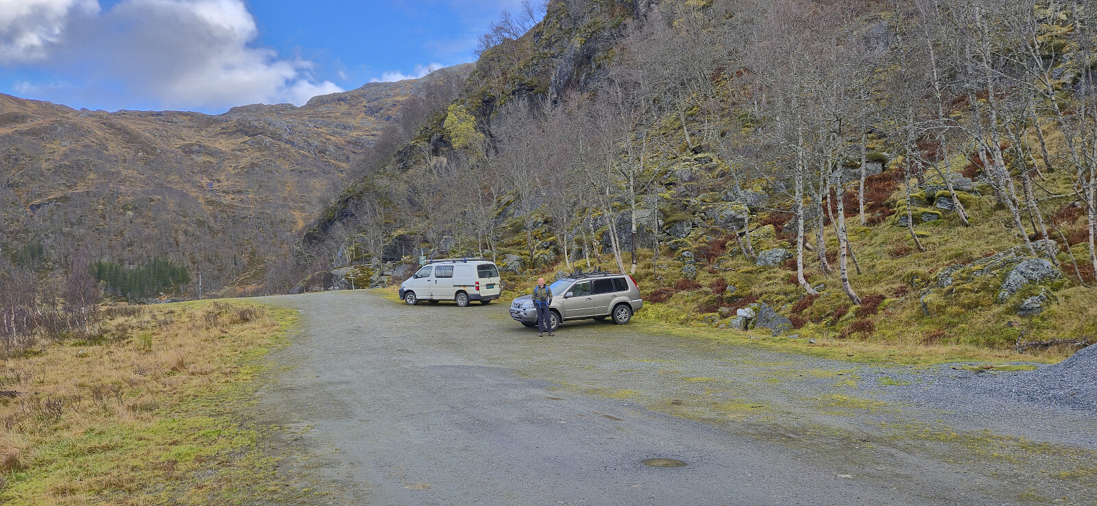
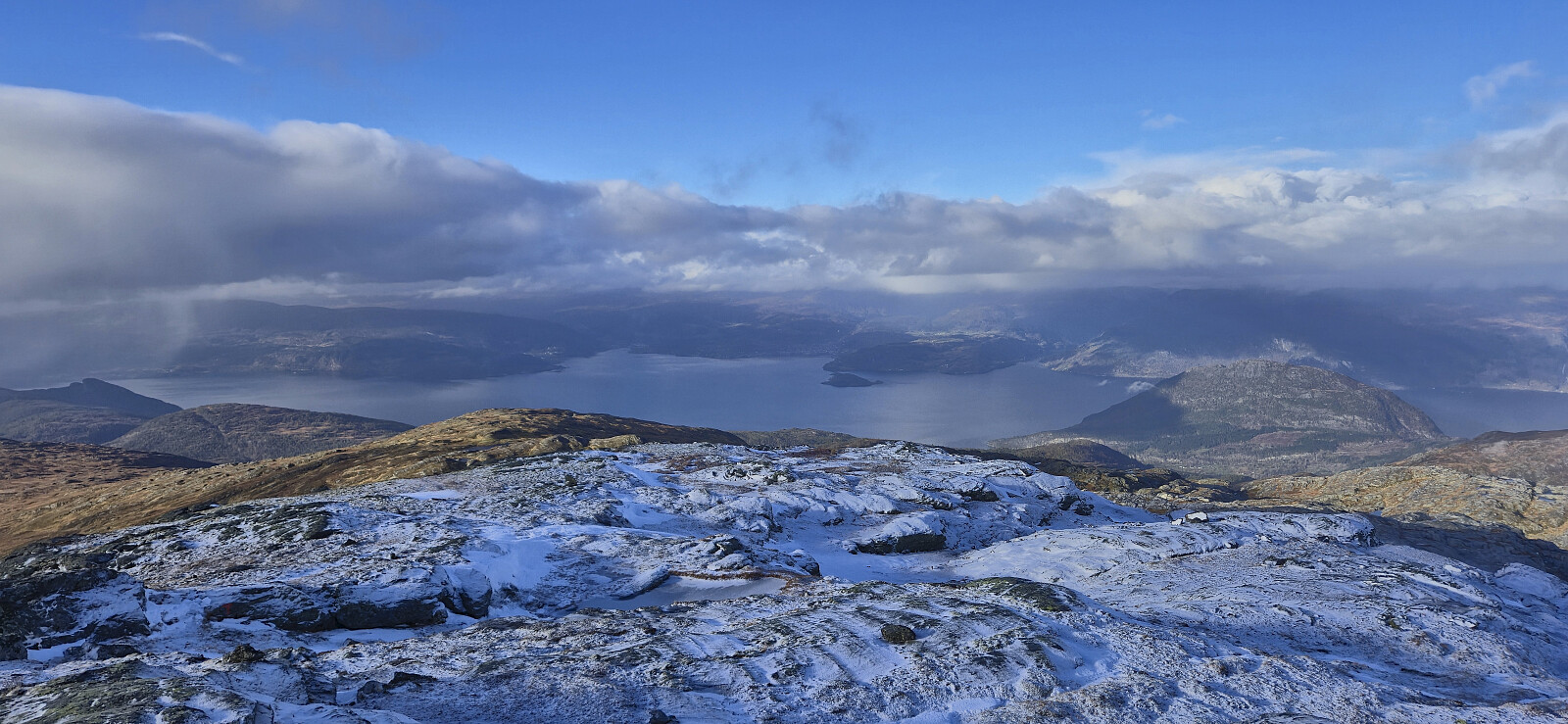
Endre and I tried to make the most out of a window of nicer weather east of Bergen and decided on Jonstein as our goal. After the drive to Tørvikbygd and the ferry to Jondal we continued up Folgefonnvegen before following the smaller gravel road to the parking lot at Bottsvatnet (or Botsvatn as used on the information poster).
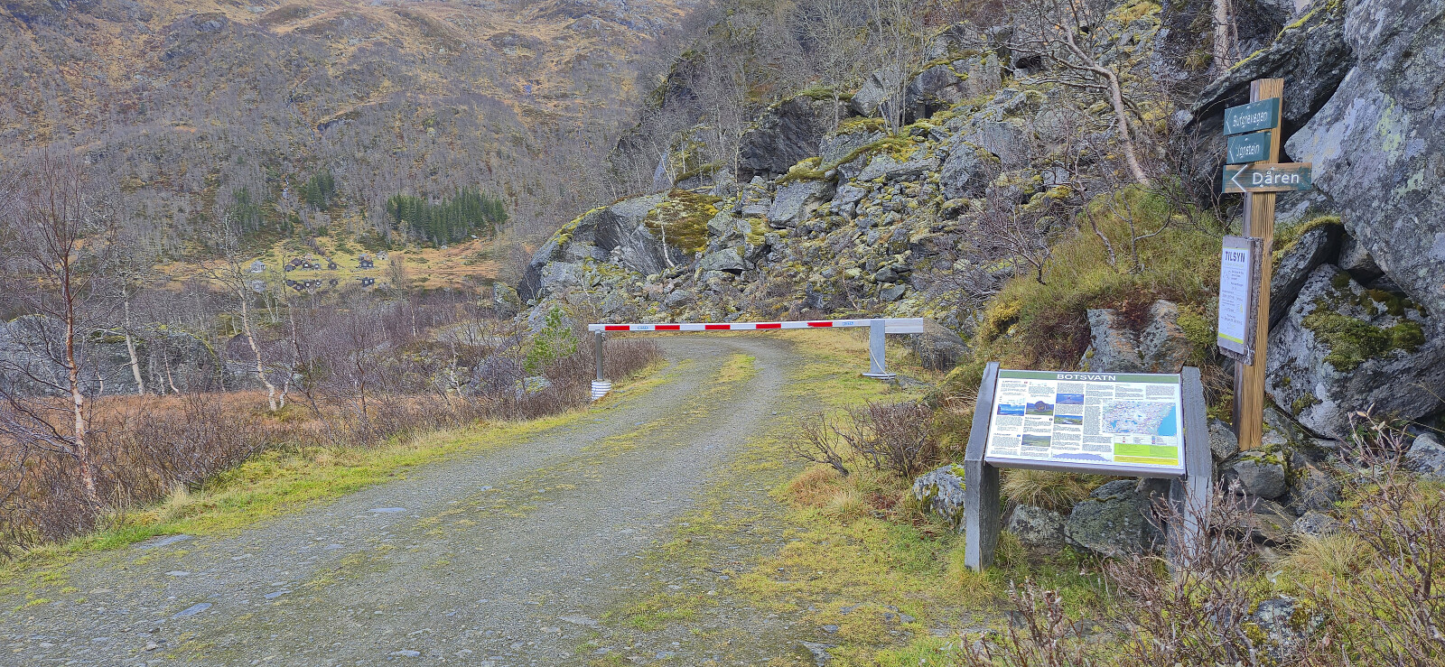
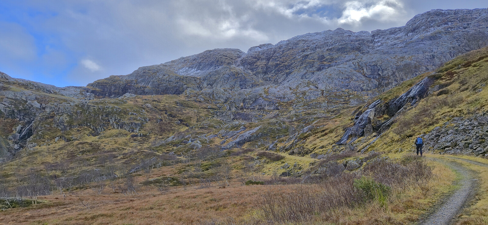
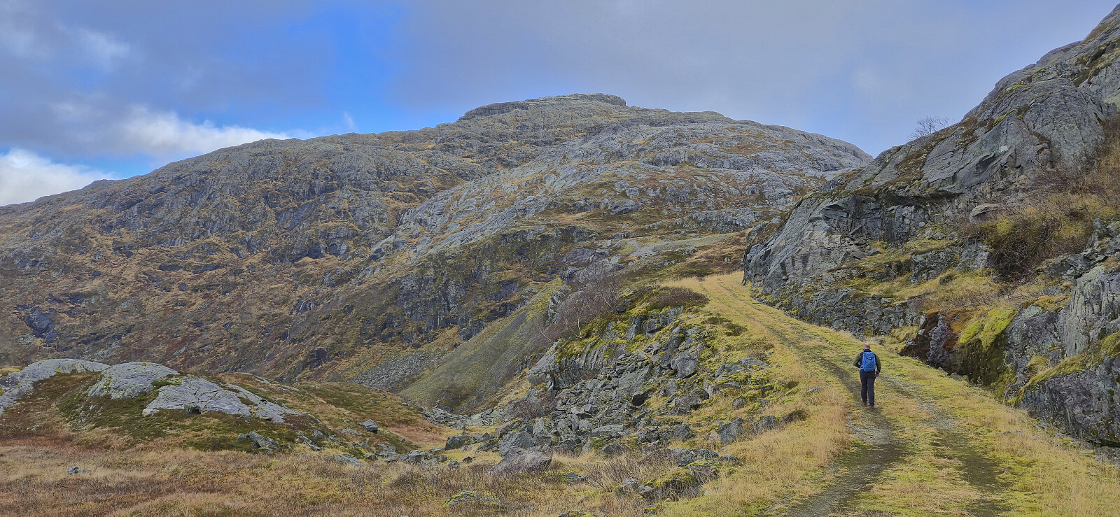
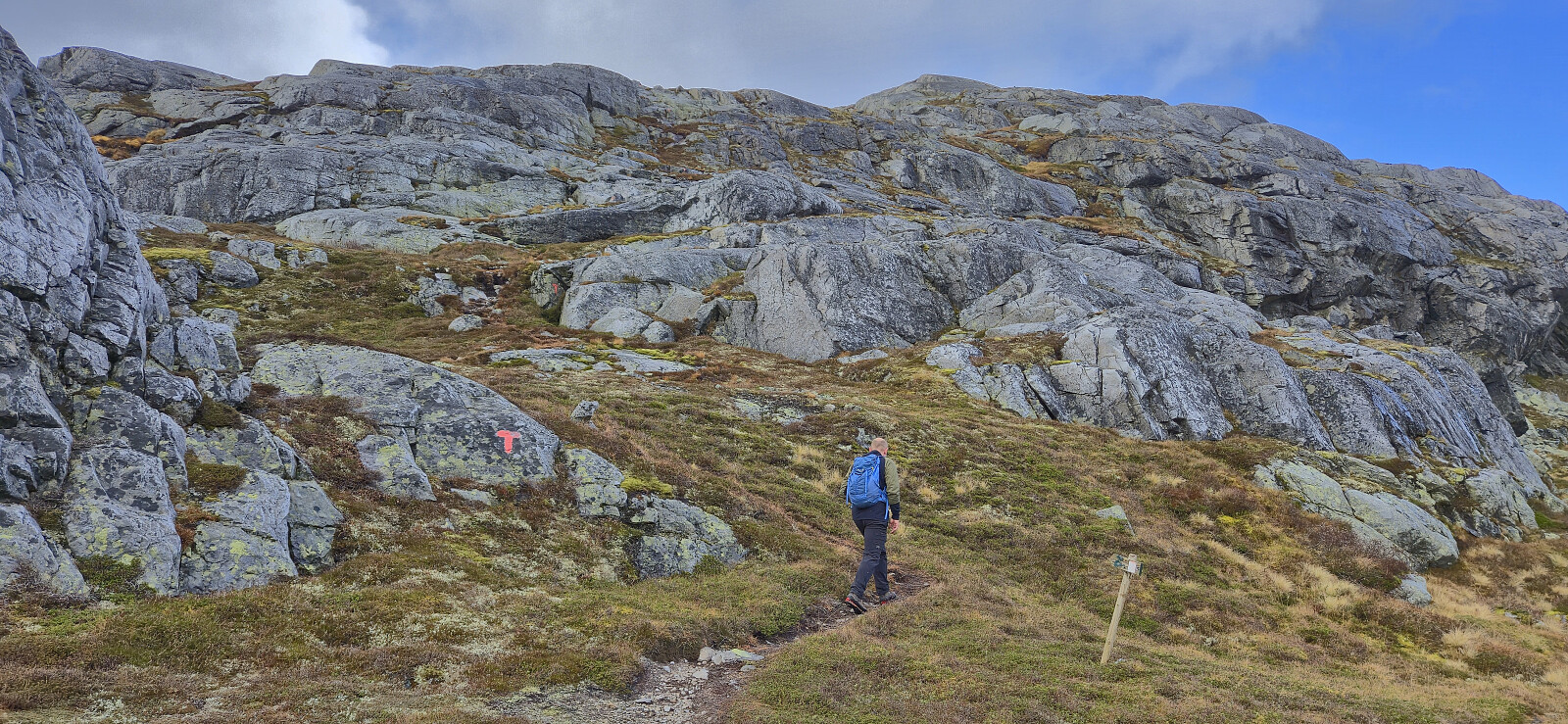
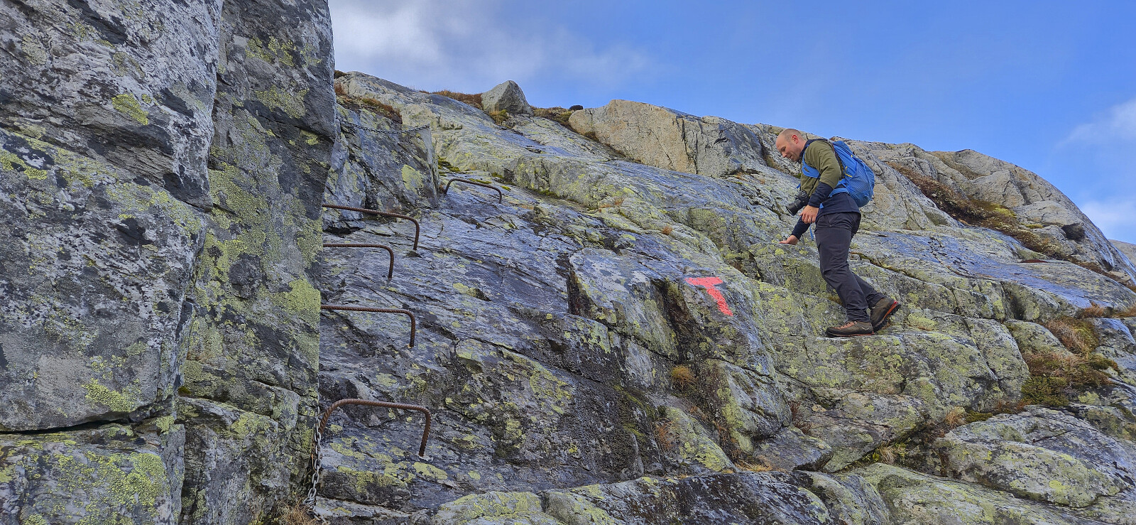
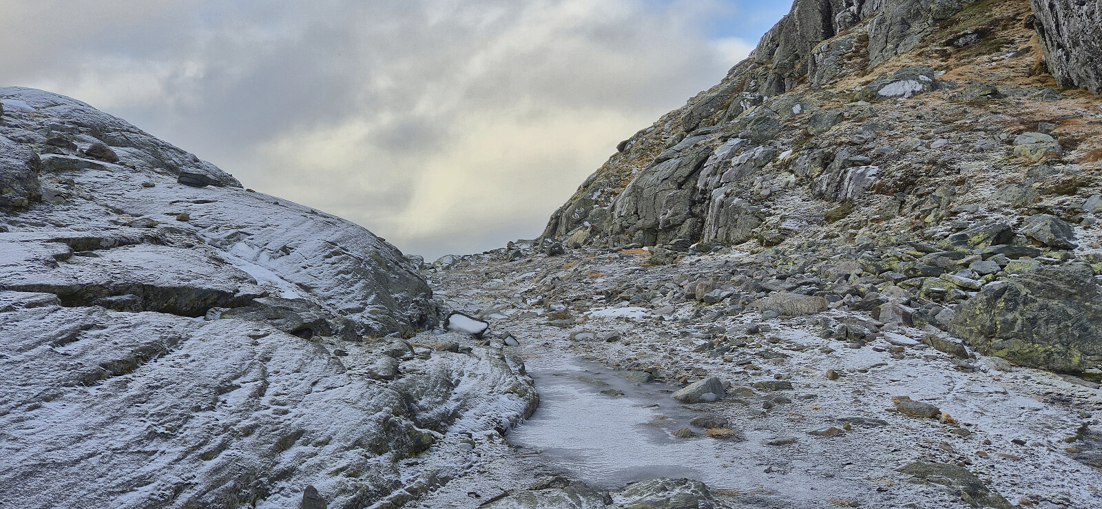
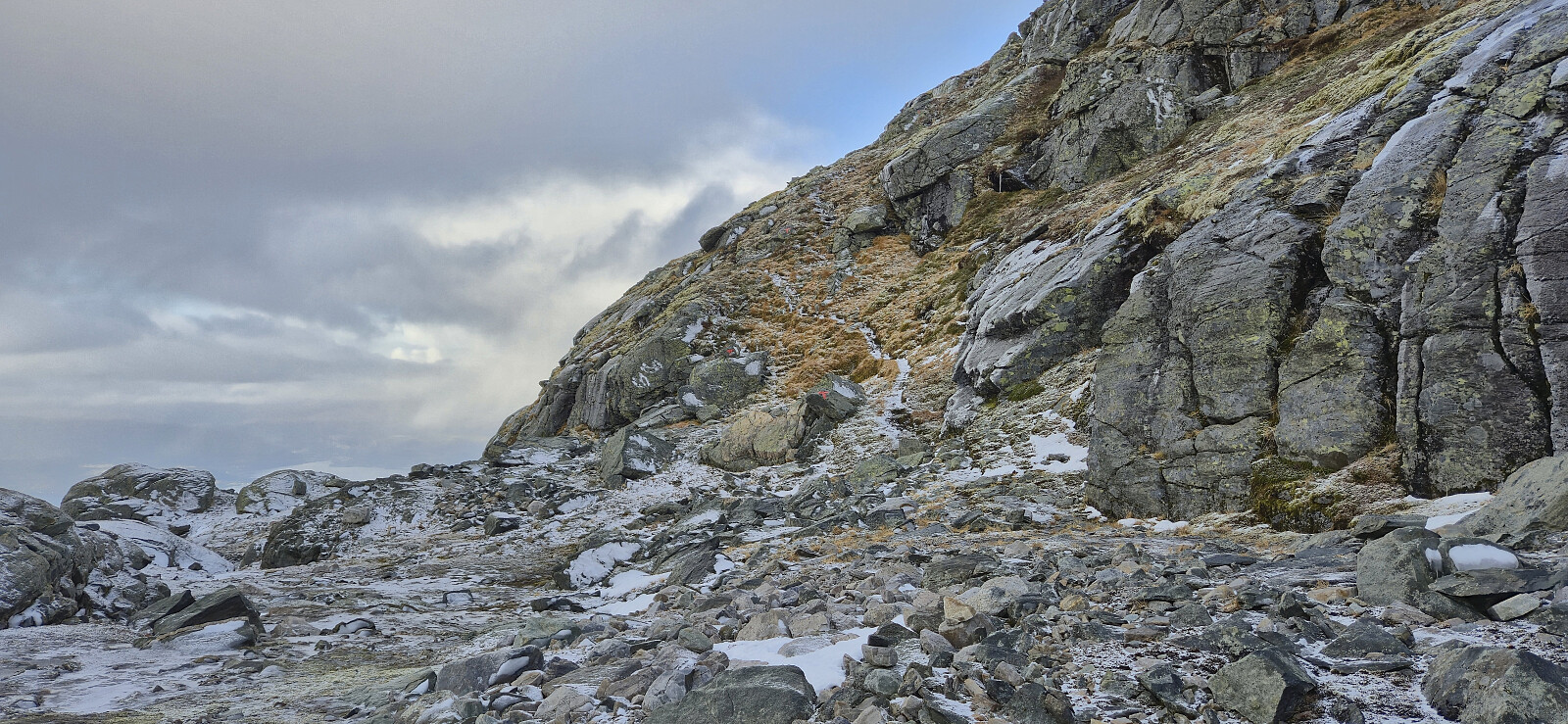
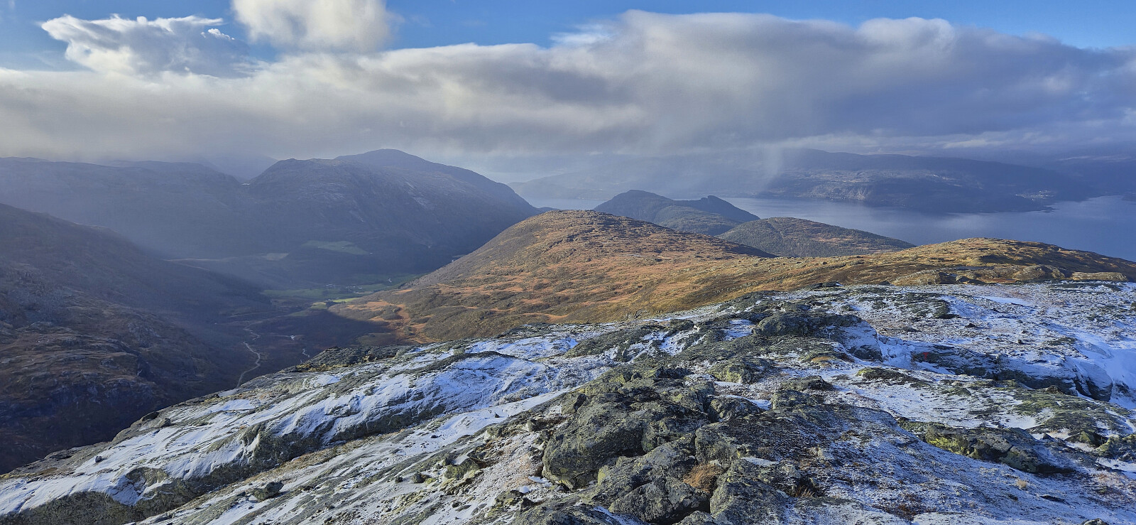
We had considered to also include an ascent of Saksaklepp, but this could already be ruled out given that the road to the glacier was closed for the winter immediately after our exit to Bottsvatnet. After passing a locked barrier we proceeded along the gravel road to Skarvabotnen. Here the road turned into a marked trail that could be easily followed all the way to the summit, with the only challenging being the occasional patches of ice.
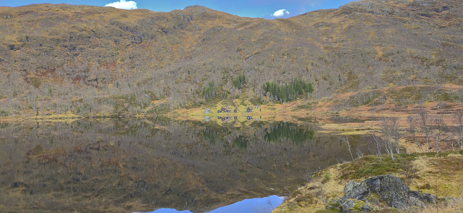
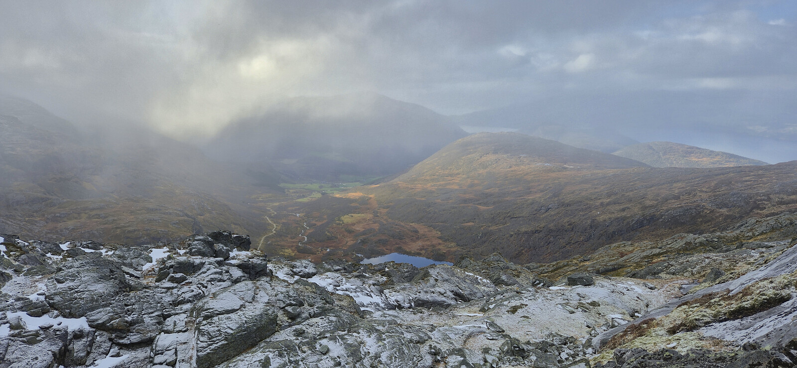
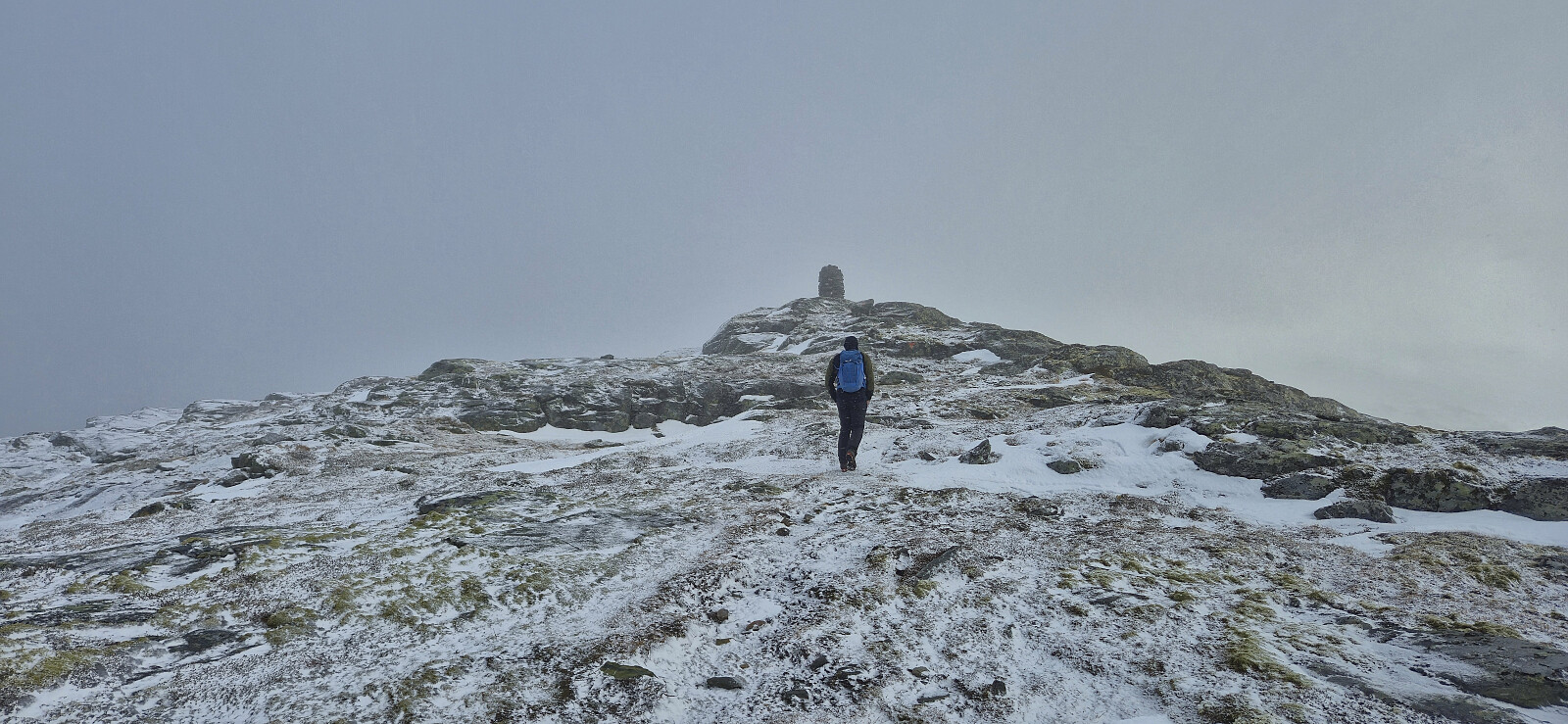
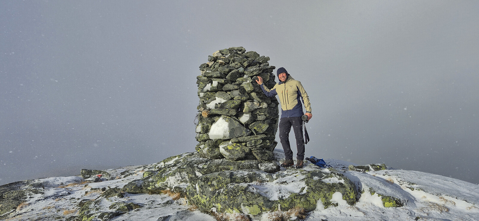
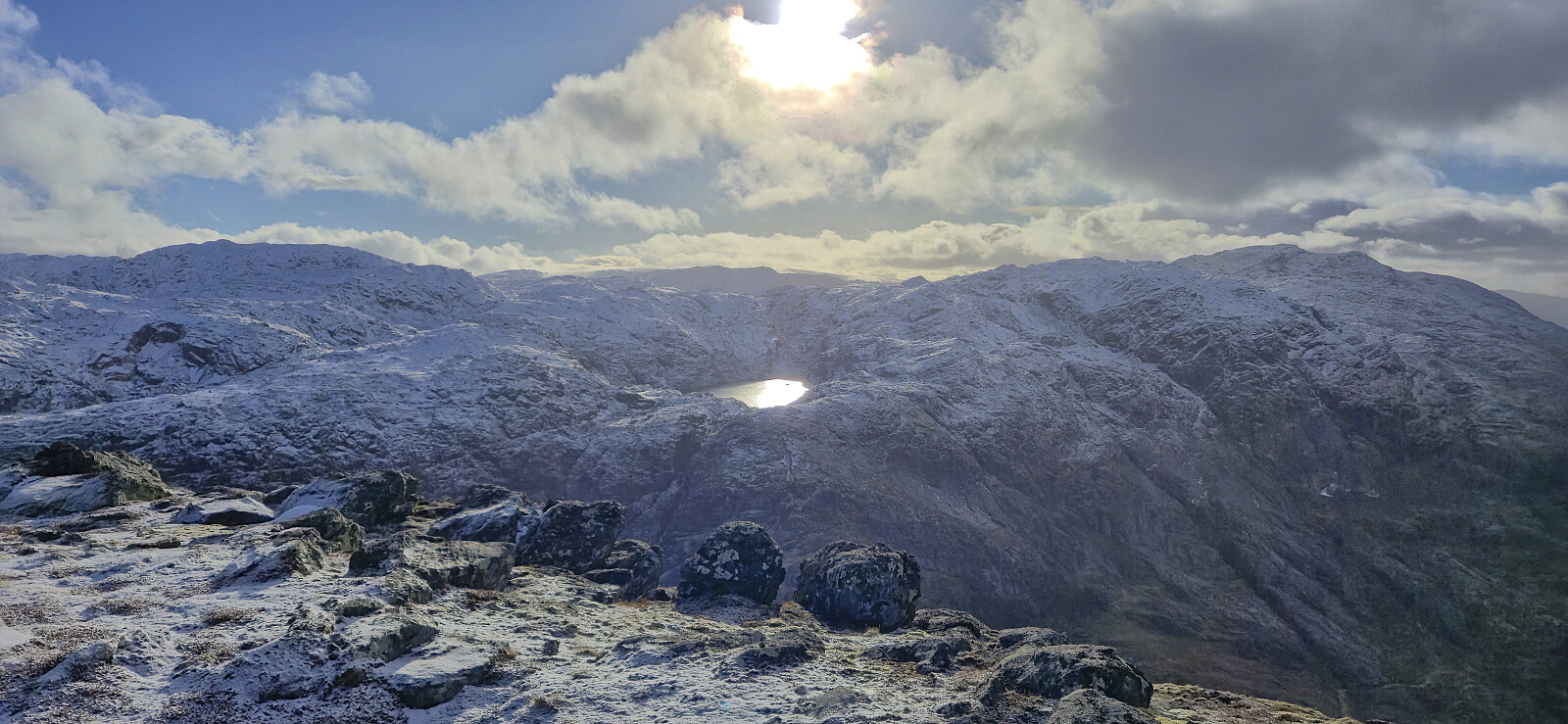
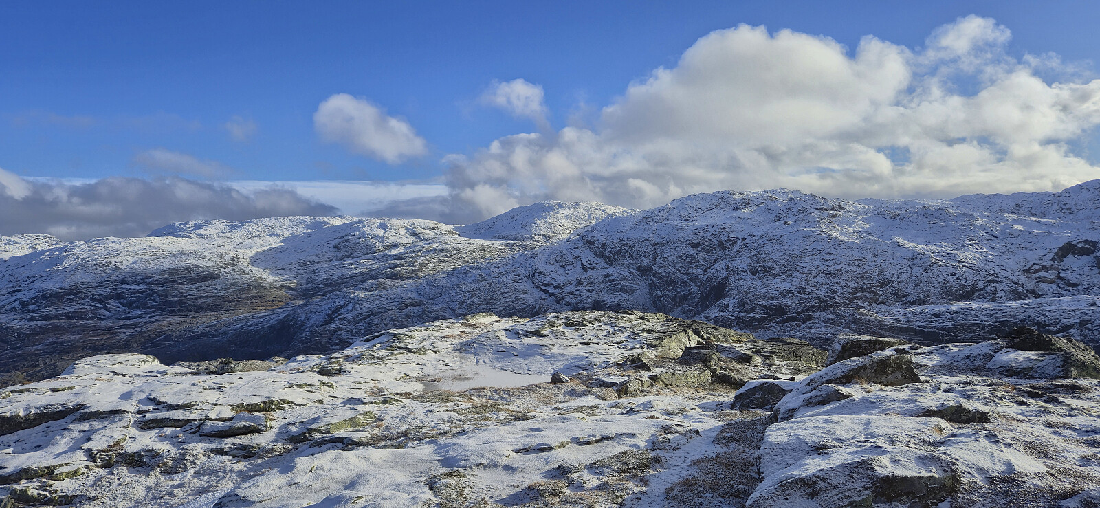
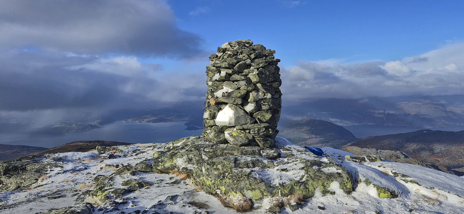
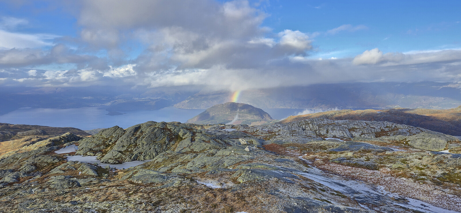
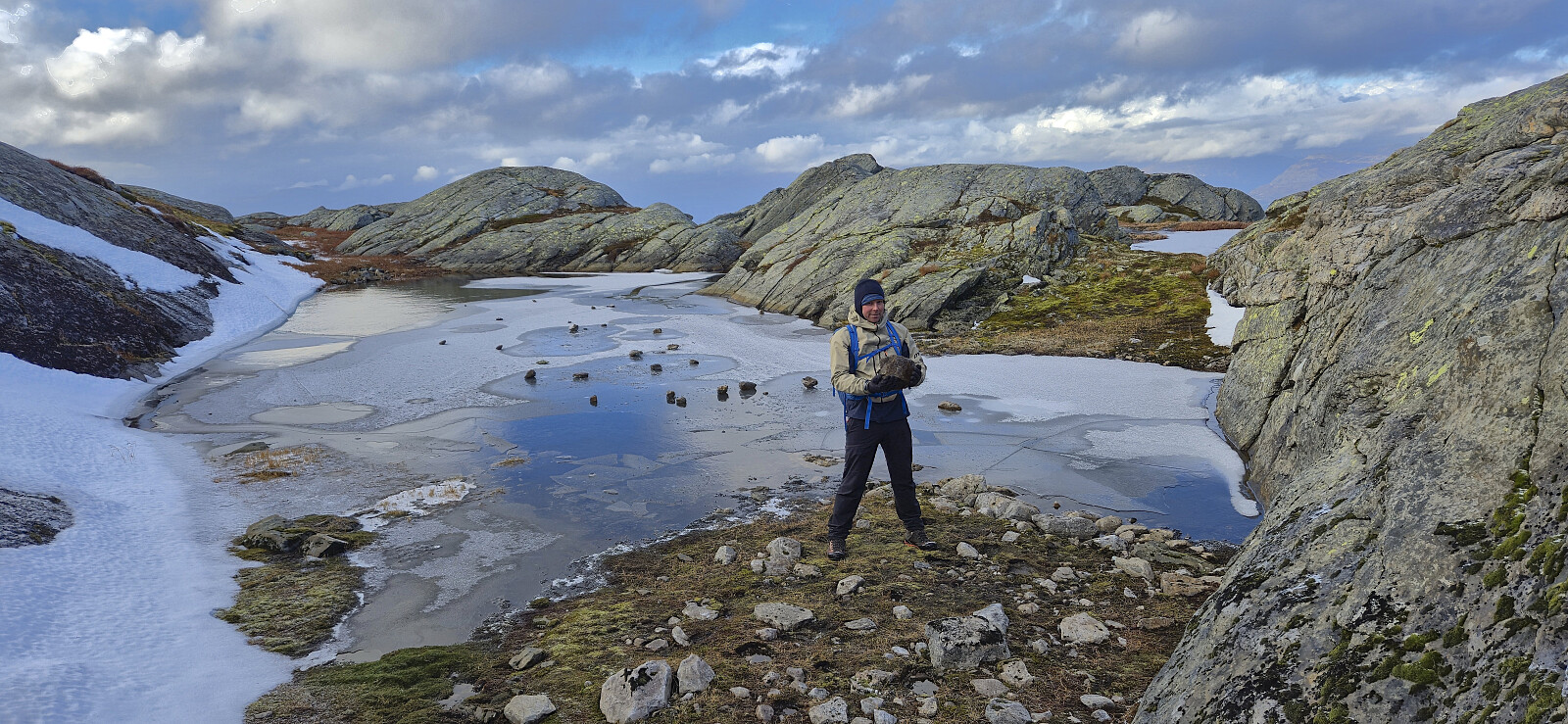
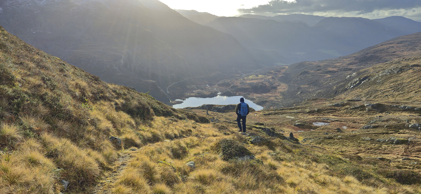
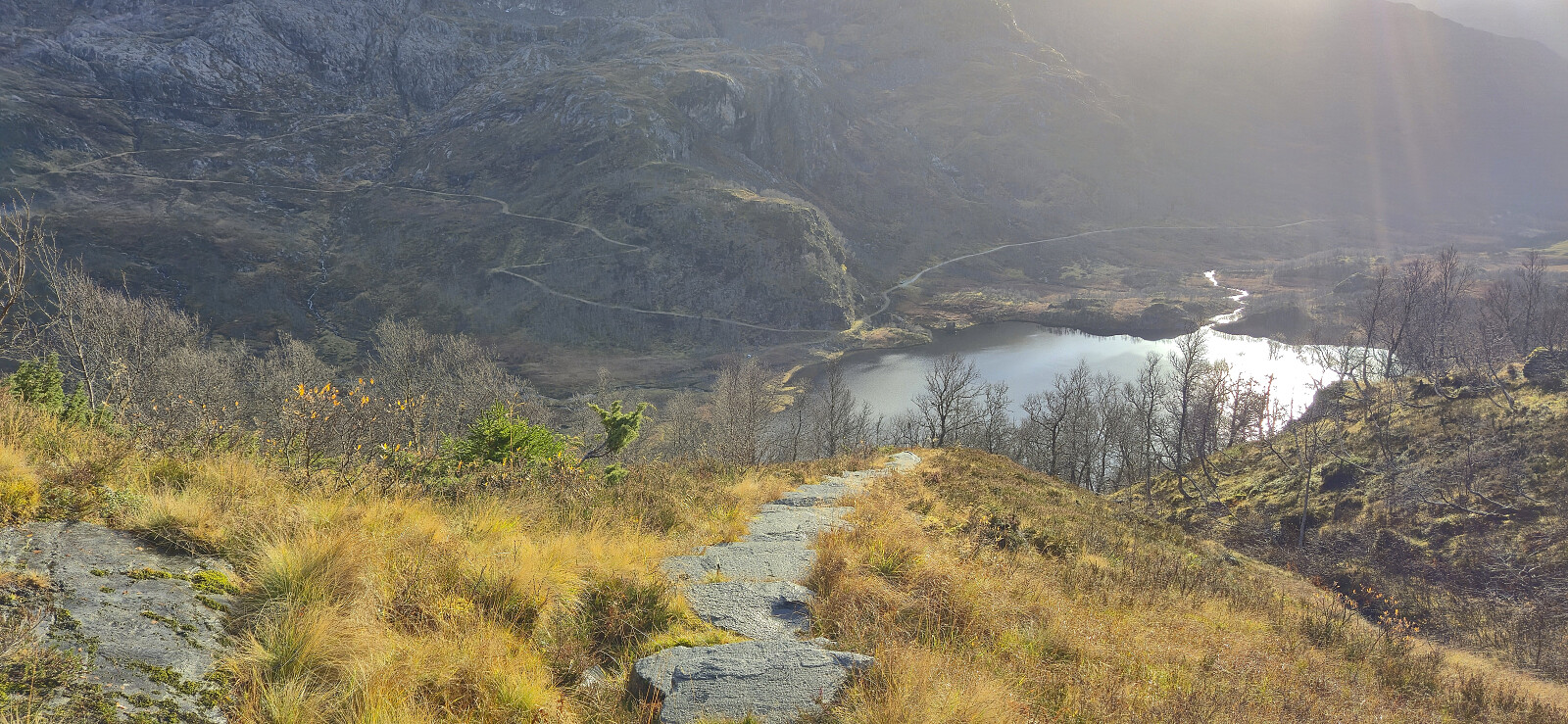
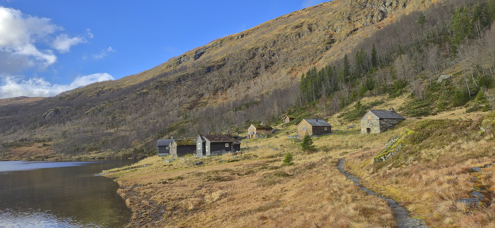
Due to low-hanging clouds and a light snow shower, the summit did not provide the best views at first, but thankfully this quickly improved and we briefly got to enjoy the excellent panoramic views. The freezing wind still made for a short visit and we soon started our descent. First, along the same route, then following a weaker trail marked by small cairns northwest. This led us to a larger trail marked with bigger cairns that would take us via Tobakksdalen and buførevegen, with its recently upgraded stone steps, down to Bottsvatnet and back to the parking lot.
In summary, a very nice and relatively short roundtrip that can be very highly recommended. Takk for turen, Endre!
| Starttidspunkt | 02.11.2025 10:48 (UTC+01:00) |
| Sluttidspunkt | 02.11.2025 14:15 (UTC+01:00) |
| Totaltid | 3t 26min |
| Bevegelsestid | 2t 31min |
| Pausetid | 0t 55min |
| Snittfart totalt | 2,4km/t |
| Snittfart bevegelsestid | 3,2km/t |
| Distanse | 8,1km |
| Høydemeter | 702m |

Kommentarer