Hyvingen, Grånakken and Giljafjell from Ålvik (27.07.2025)

| Startsted | Ålvik (23moh) |
|---|---|
| Sluttsted | Ålvikvegen (8moh) |
| Turtype | Fjelltur |
| Turlengde | 7t 48min |
| Distanse | 24,4km |
| Høydemeter | 1728m |
| GPS |
|
| Bestigninger | Hyvingen (1089moh) | 27.07.2025 16:15 |
|---|---|---|
| Grånakken (1165moh) | 27.07.2025 17:09 | |
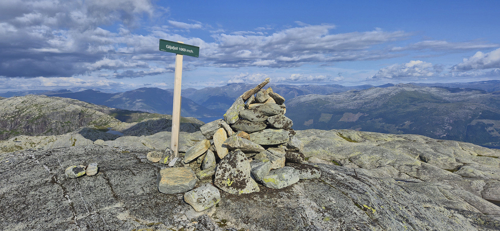
| Giljafjell (1069moh) | 27.07.2025 18:35 | |
| Andre besøkte PBE'er | Oskarborg (707moh) | 27.07.2025 14:00 |
| Toppvakthytta (880moh) | 27.07.2025 14:55 | |
| Reinsdyrhytta (987moh) | 27.07.2025 17:33 | |
| Vikedalsnebbet (762moh) | 27.07.2025 19:16 | |
| Heller (622moh) | 27.07.2025 19:32 |
Hyvingen, Grånakken and Giljafjell from Ålvik
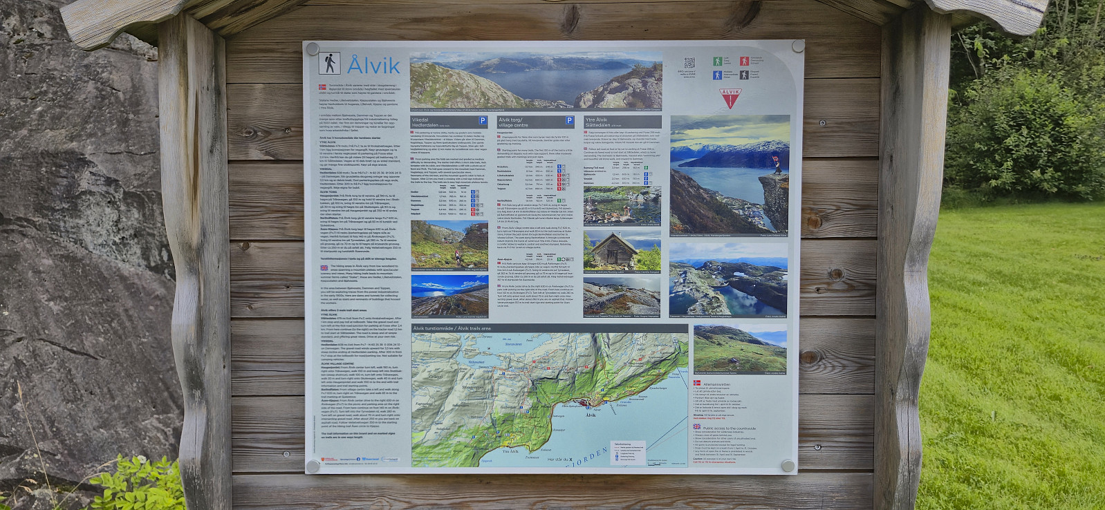
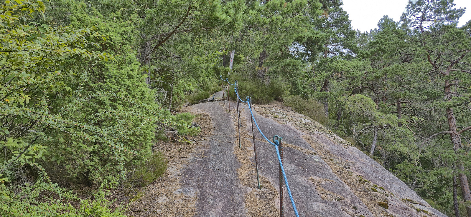
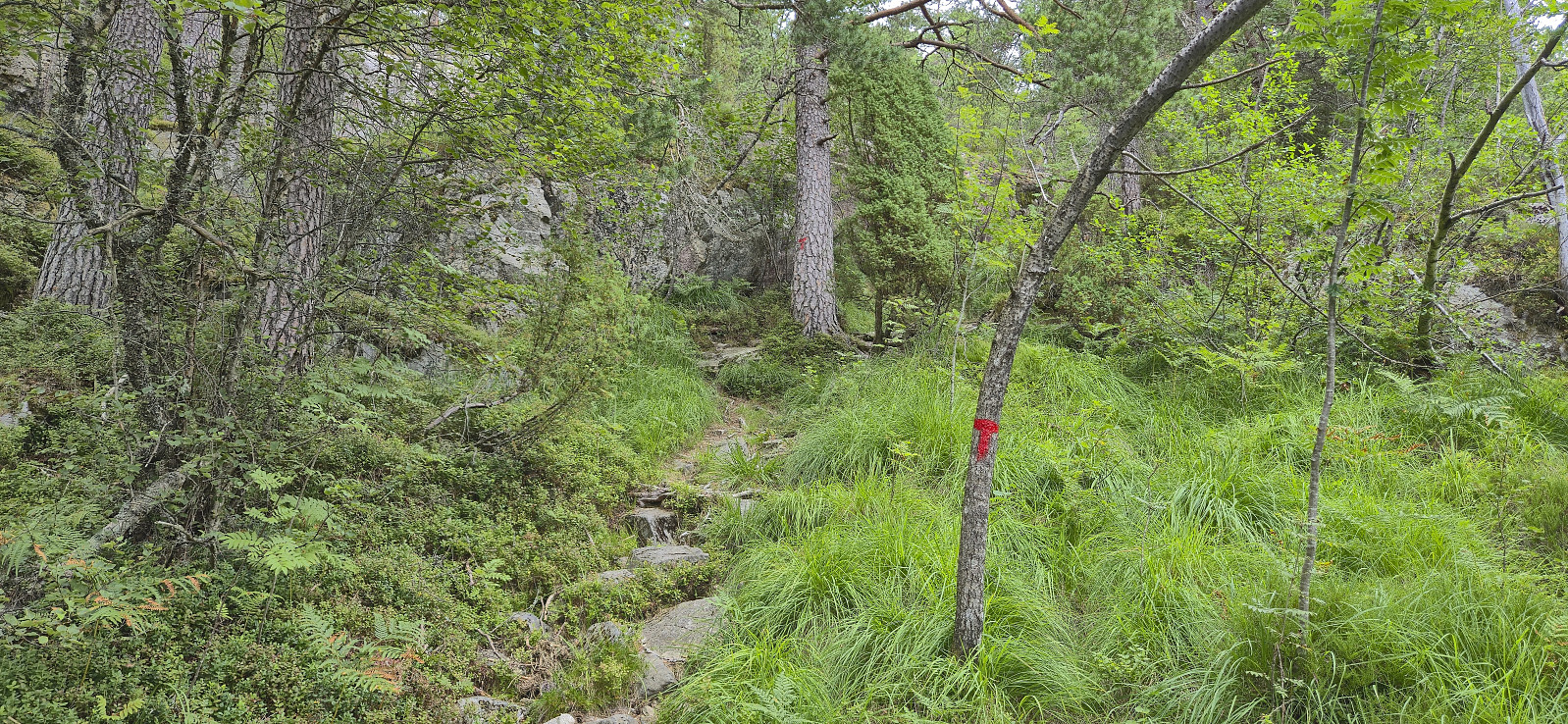
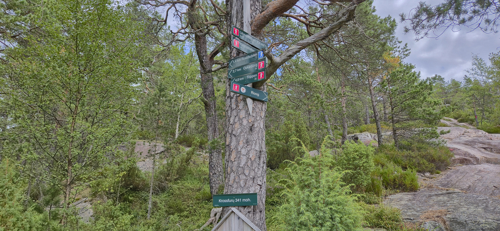
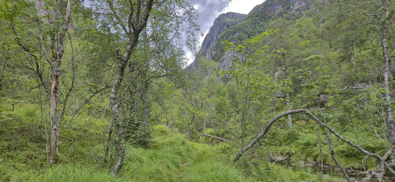
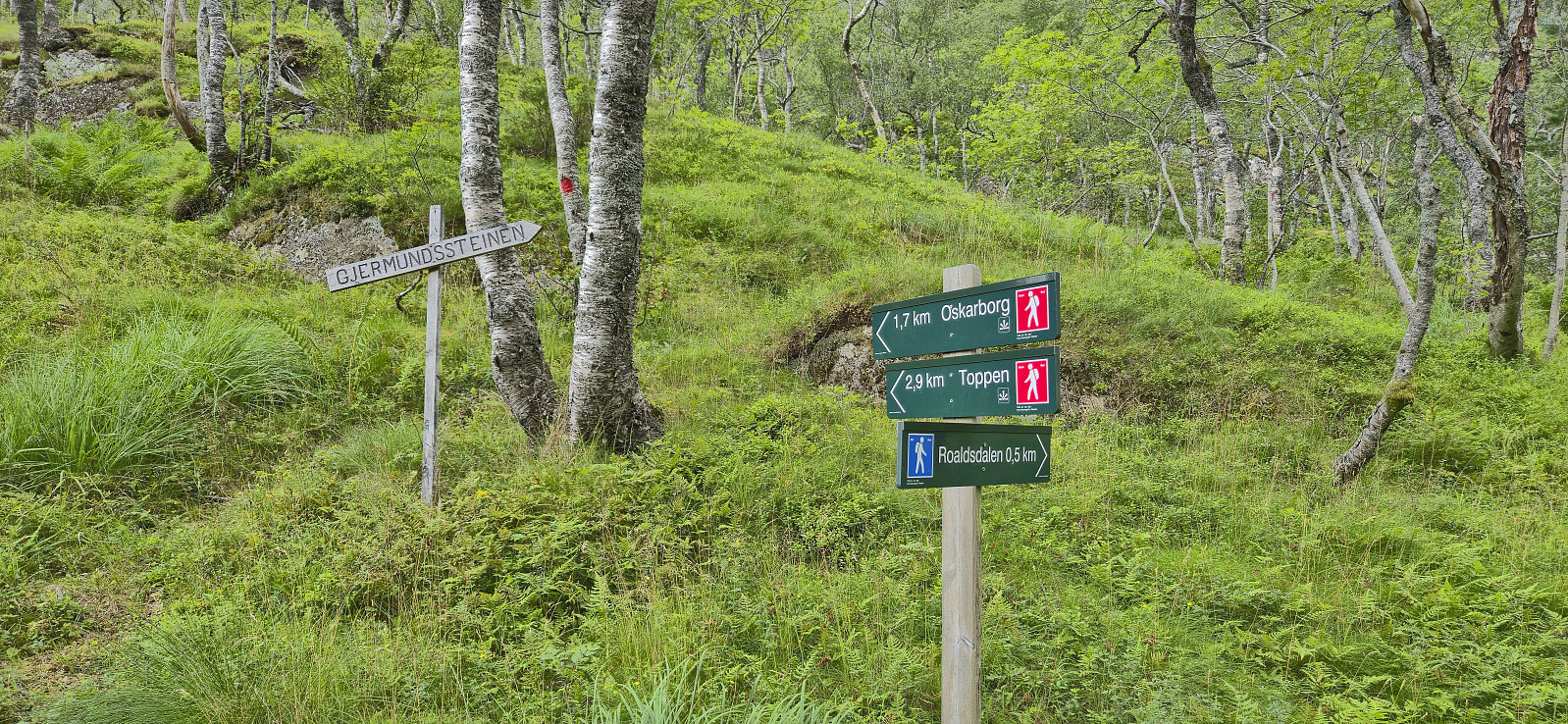
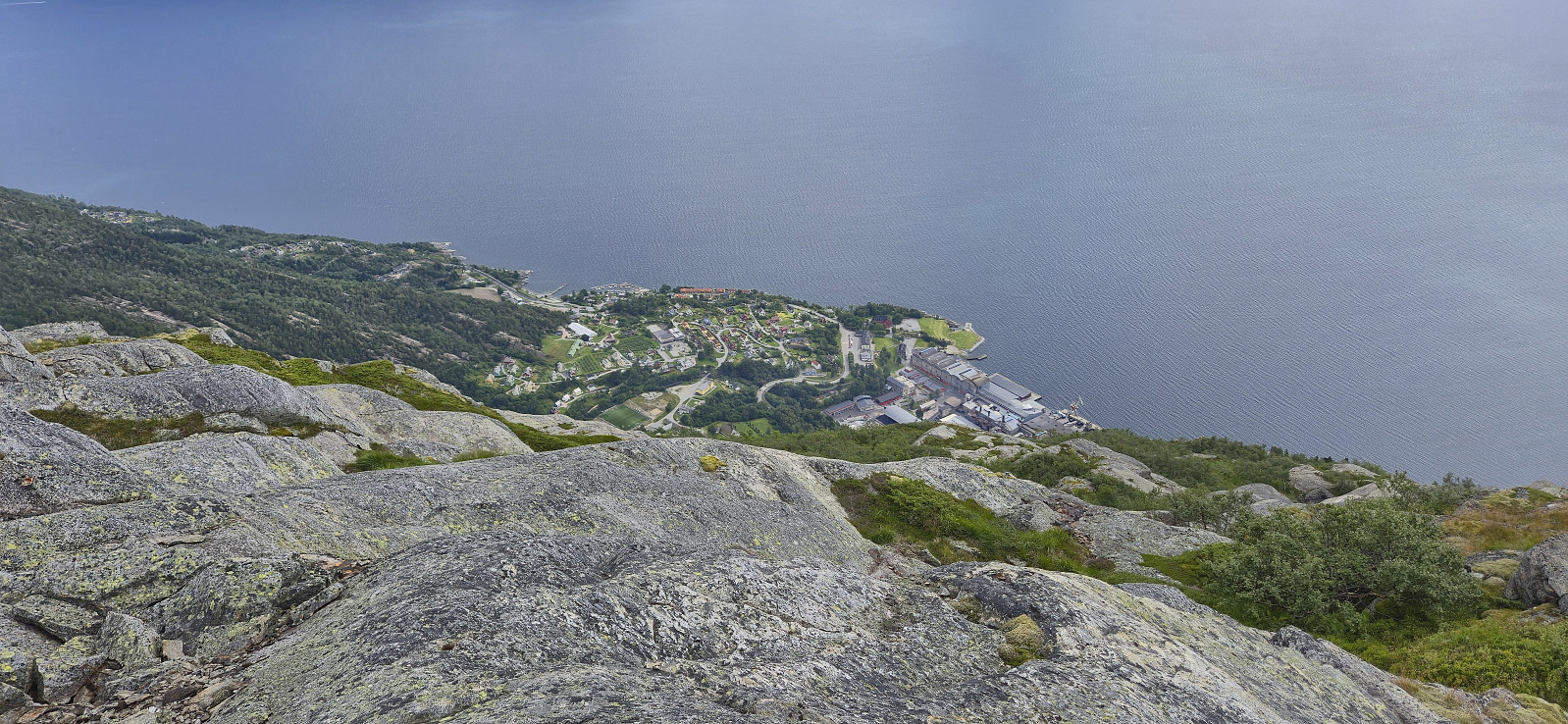
Started by taking the train to Voss and from there continued by bus to Ålvik. Here I easily located the marked trailhead and proceeded to follow the marked trail towards Roaldsdalen. The first part was quite steep and potentially difficult if wet or icy, although there were rope-based railings for extra safety. No need for these today though. As I continued north at the first forking of the trail at Krossfuru, the terrain turned much less steep and I could enjoy a nice walk along Dalselvi until the trail forked again and began winding its way up to Oskarborg and Toppen.
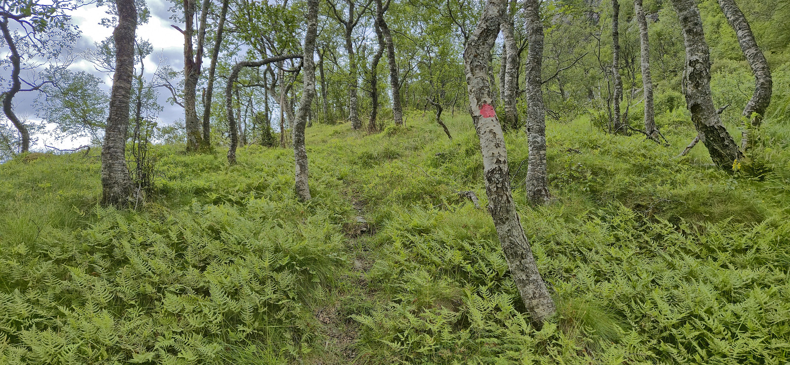
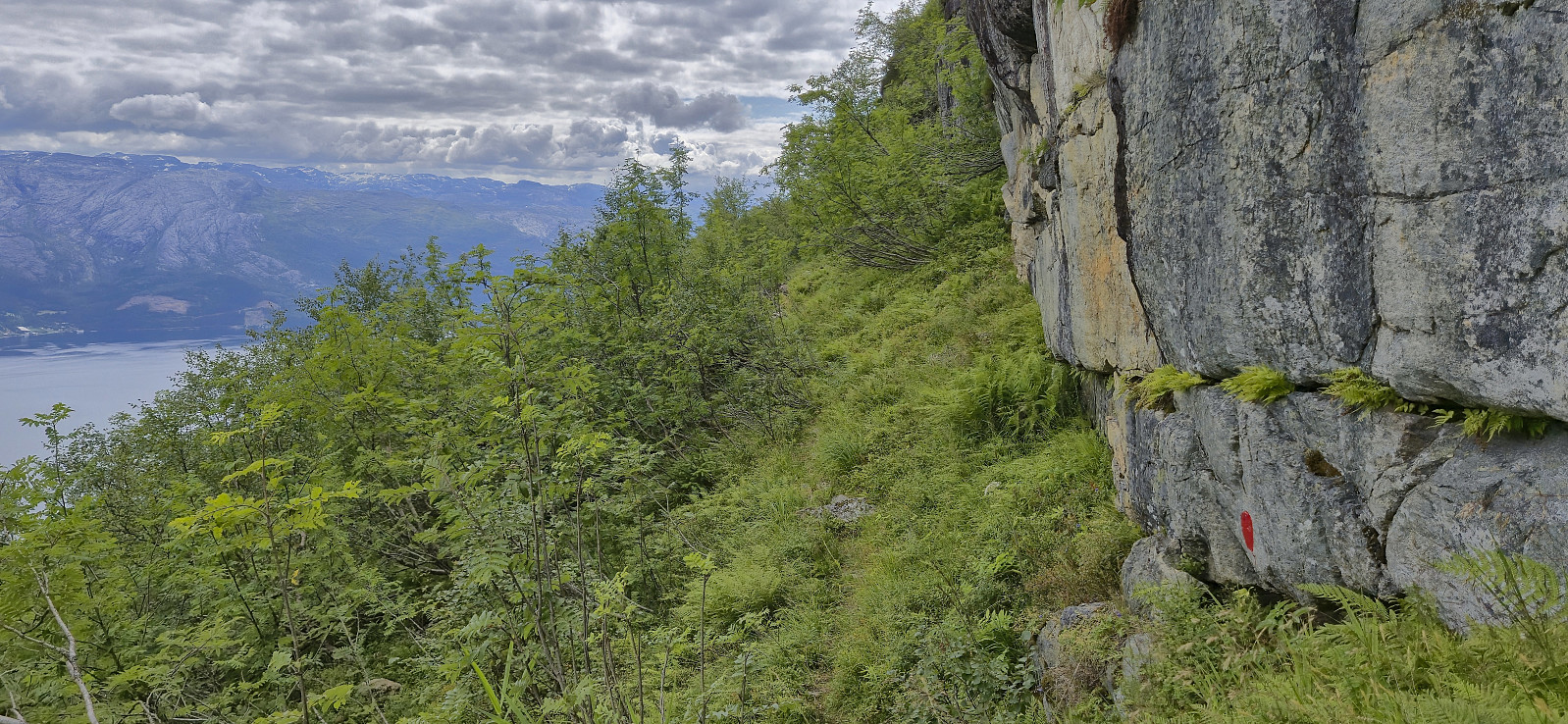
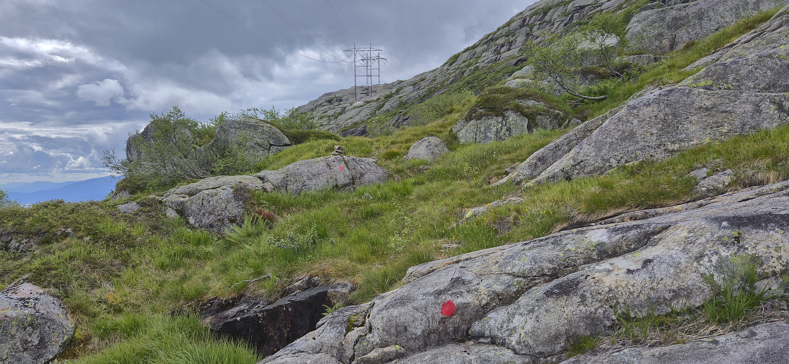
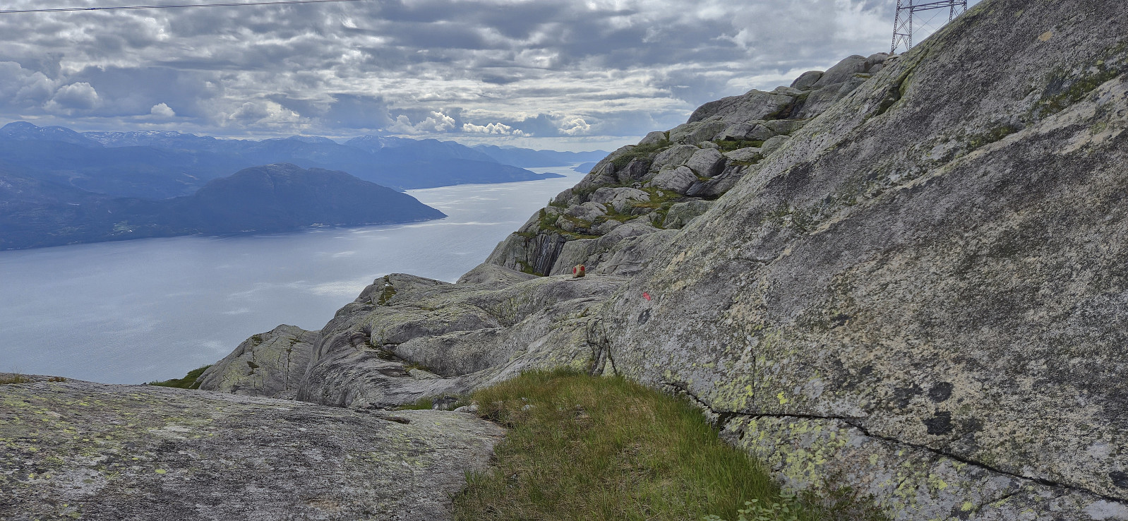
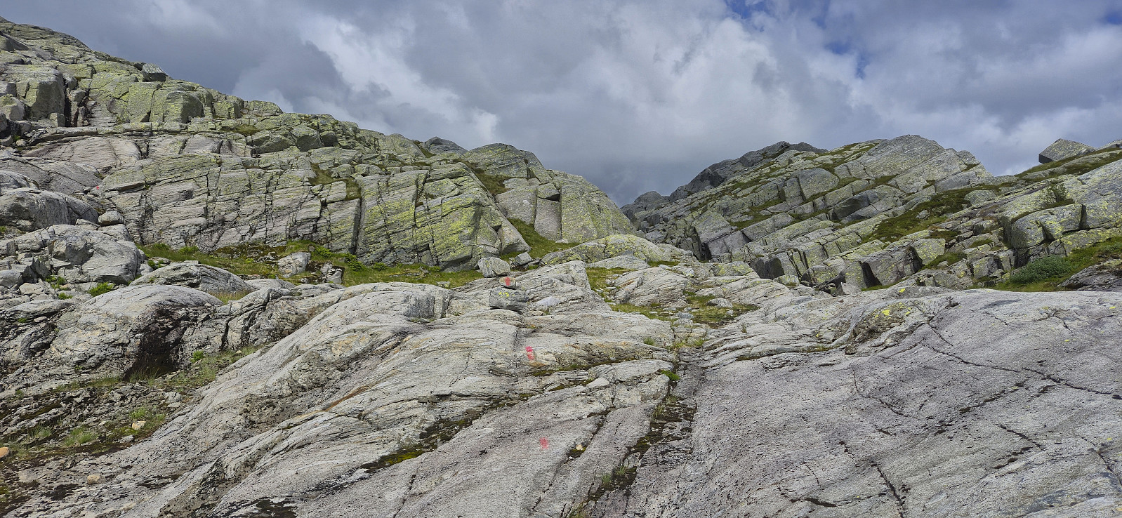
The trail to Oskarborg was often rather weak, especially at this time of the year when partially hidden by the tall grasses, however, with a few exceptions, the red markers were easy to follow. For extra safety, given that the trail was not indicated on the map, I had also brought with me Rune's GPS-track from one of his two hikes along the same route. I was therefore able to ascend to Oskarborg without any real challenges. Here I had a short break before continuing west towards Toppen, still along a route marked with red paint.
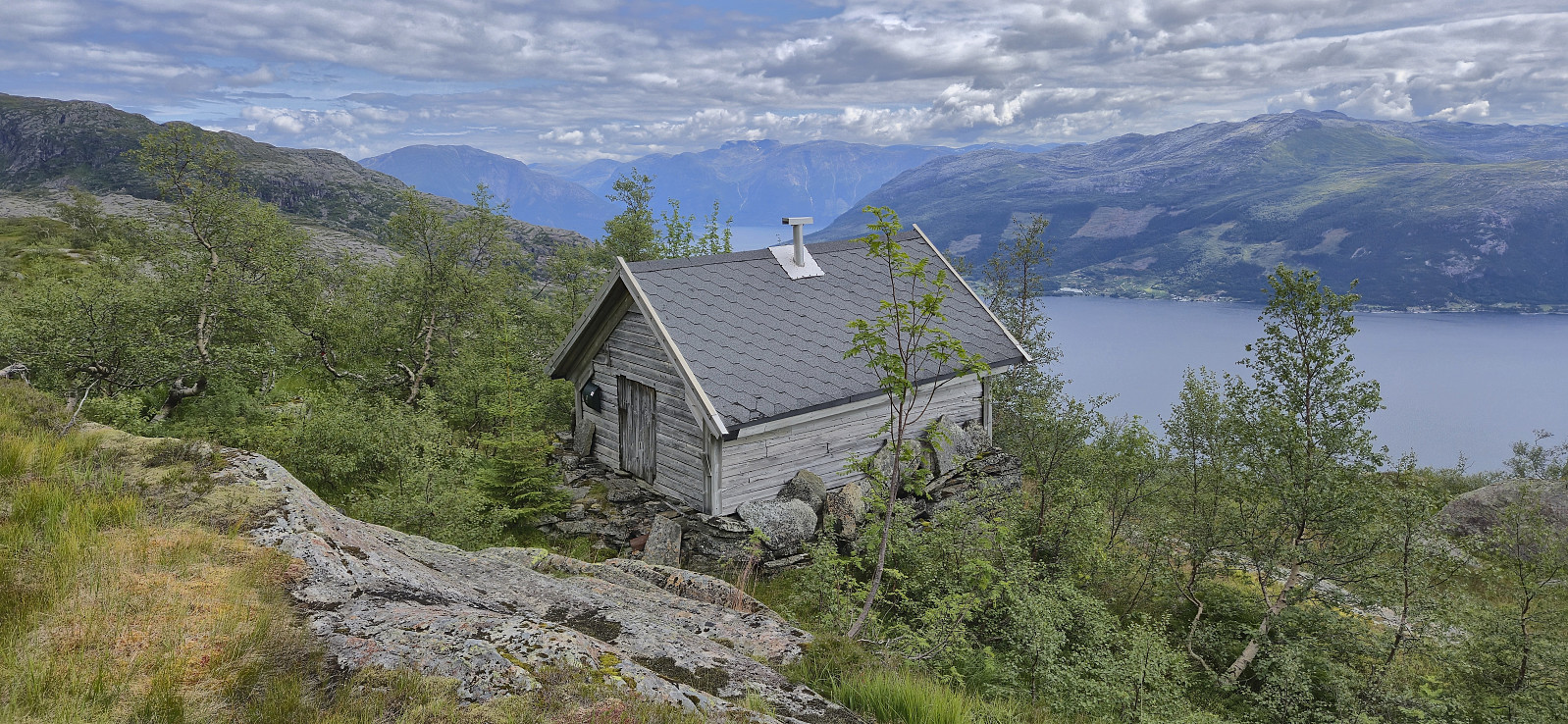
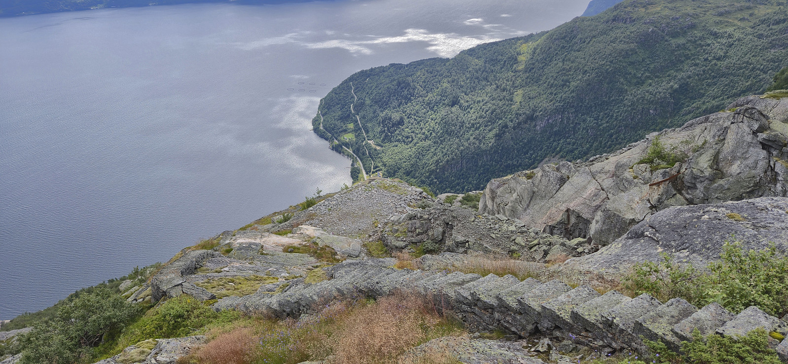
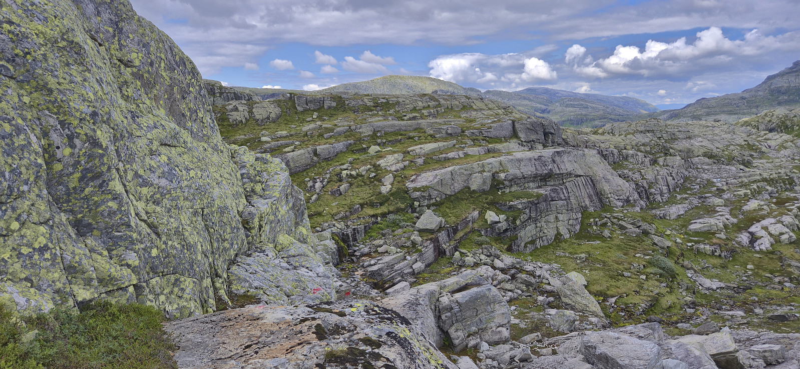
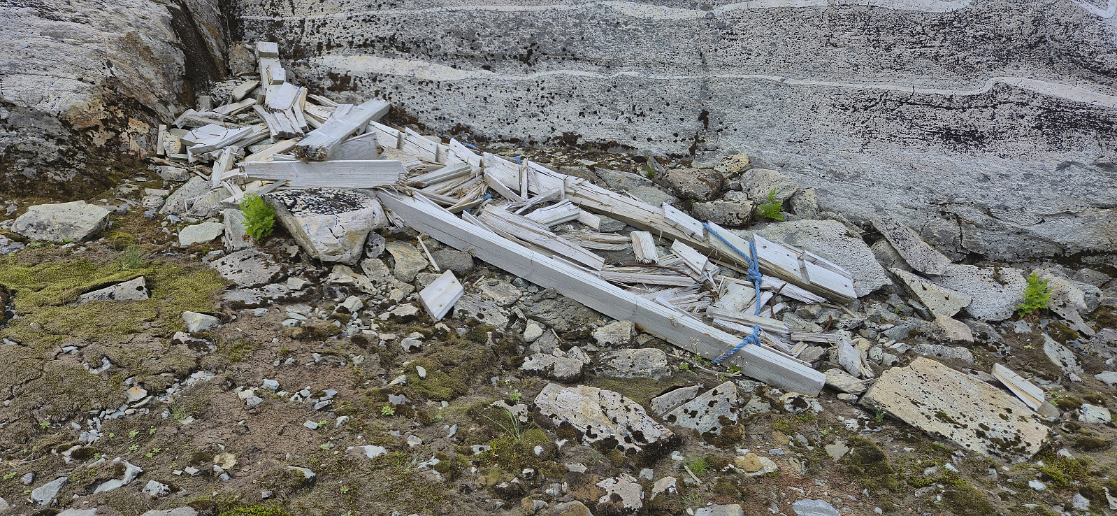
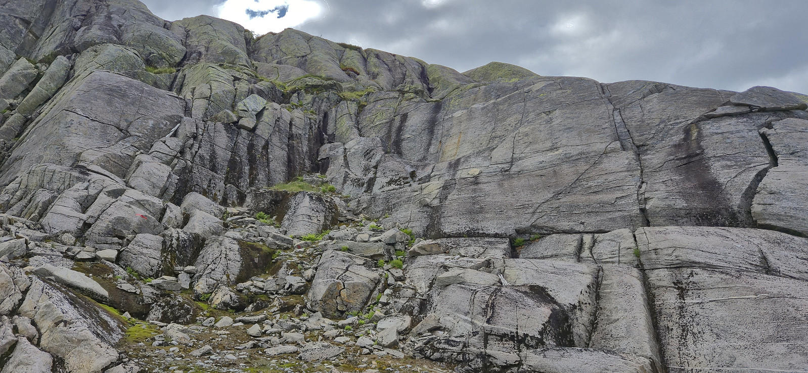
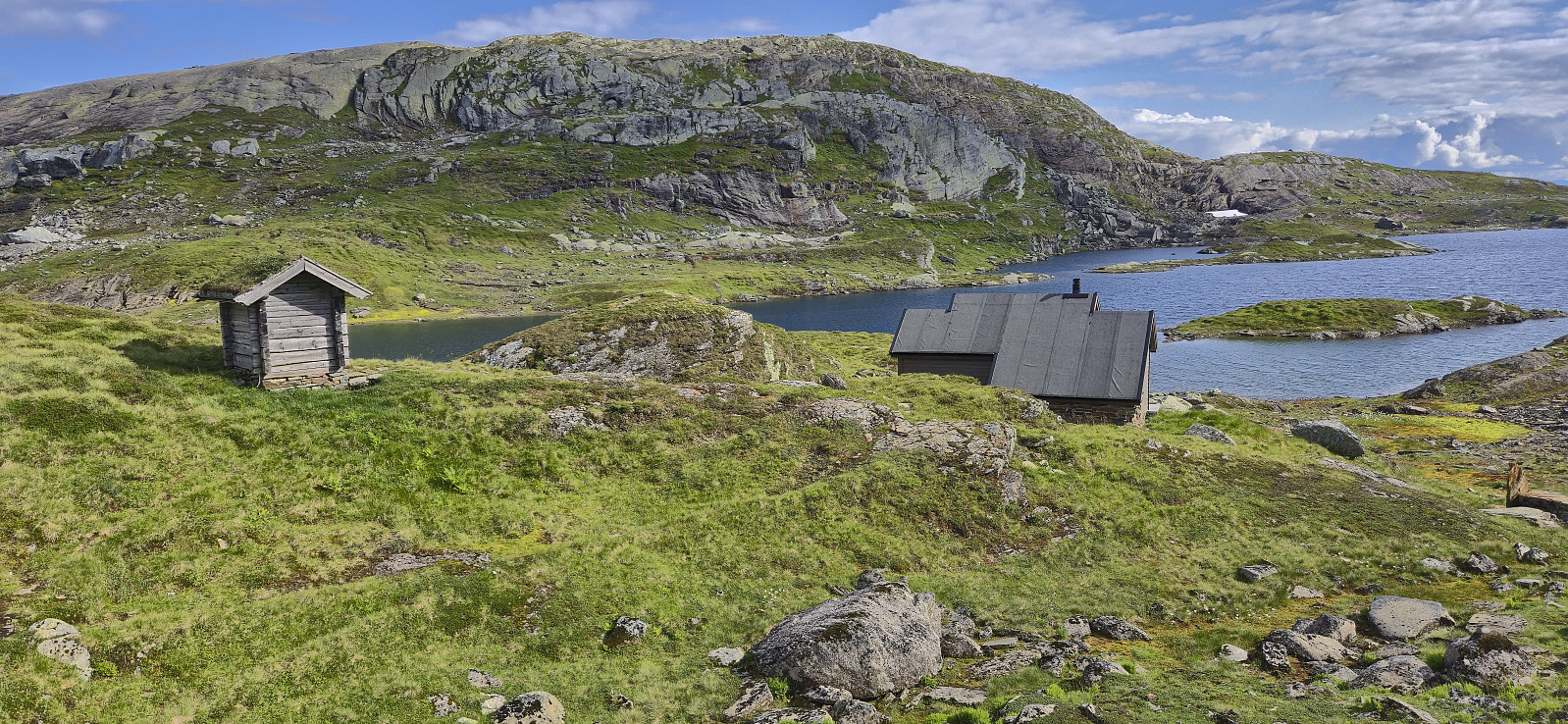
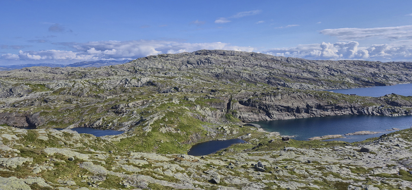
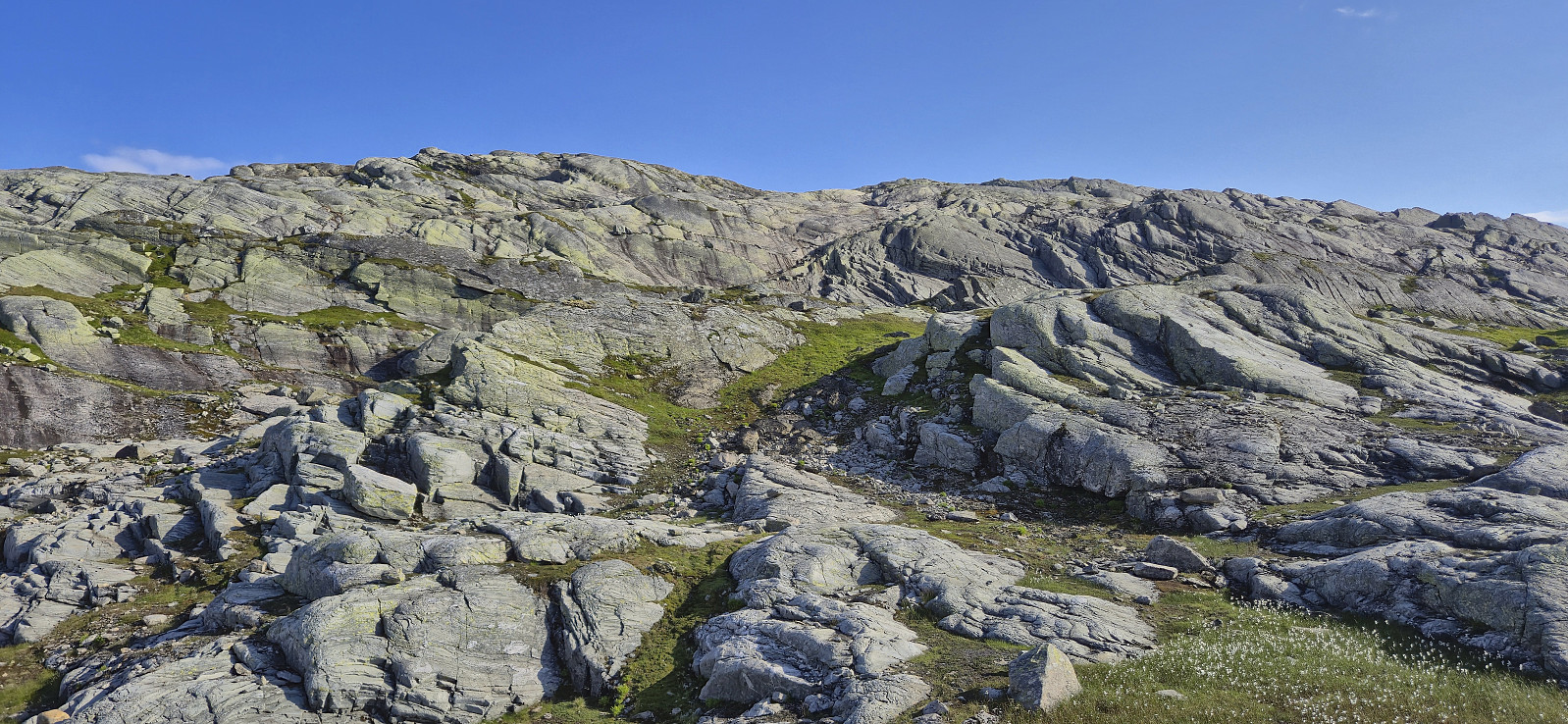
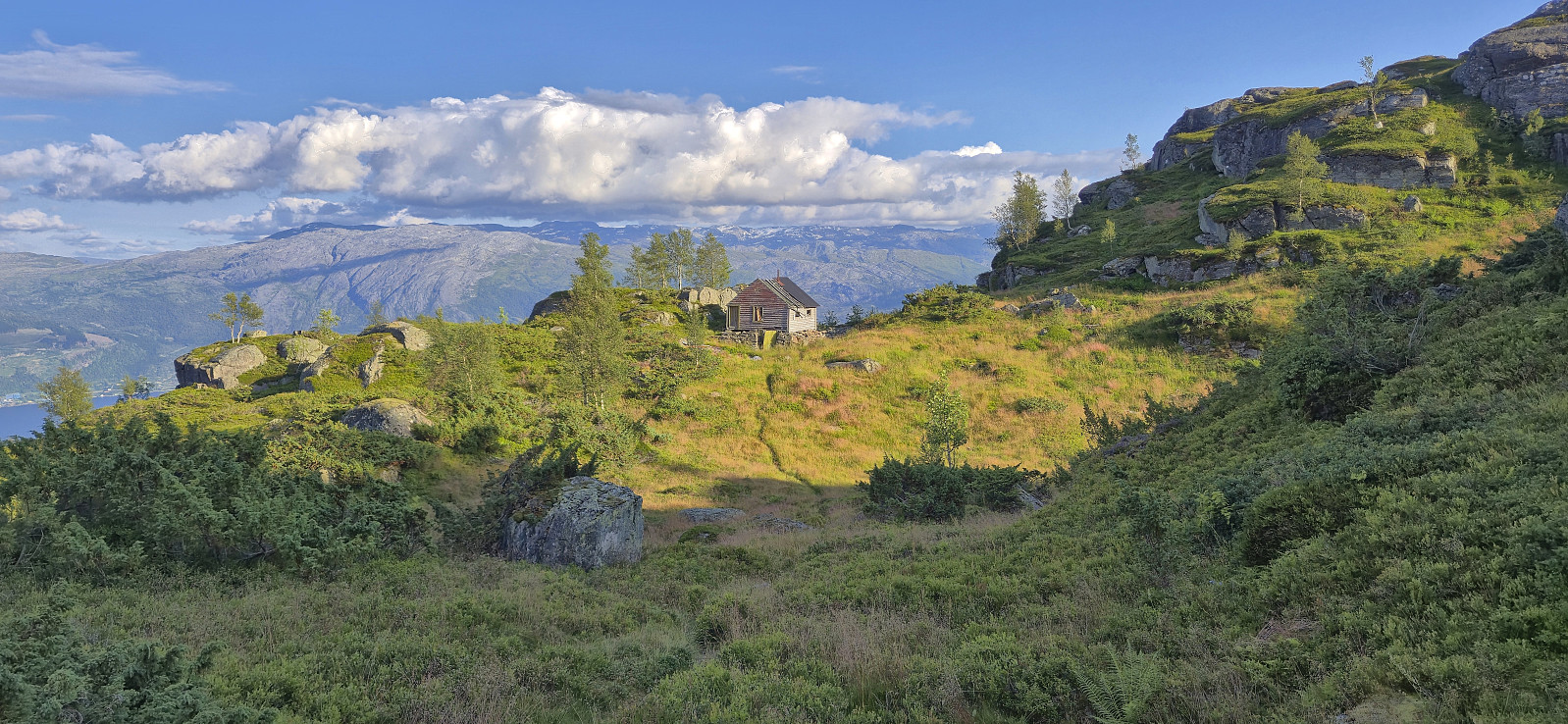
After a quick look at what was left of the upper station of the discontinued trolley track from Ålvik, which according to Wikipedia was the steepest of its kind with a 62,5 degrees angle, I turned north towards a small unnamed cabin where I reconnected with the marked trail. I could then easily follow this trail until starting the descent to Karaldevatnet. Here the trail apparently made a hard turn towards Giljafjell, however the wooden ladder needed to get up the short but steep ascent was broken and could no longer be used. If ascending this way to Giljafjell one therefore now has to continue a bit further north, before turning back towards the summit.
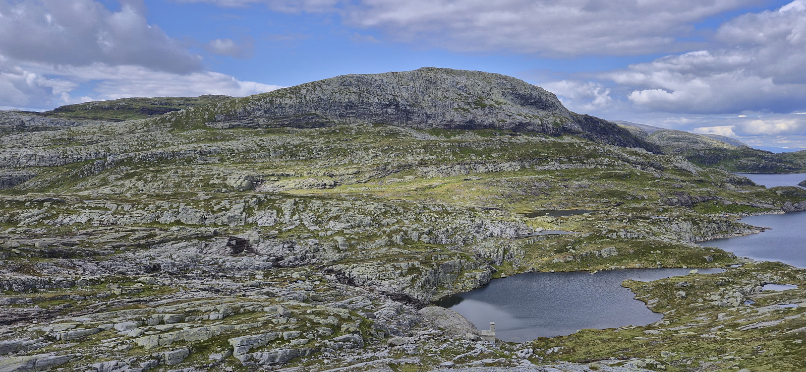
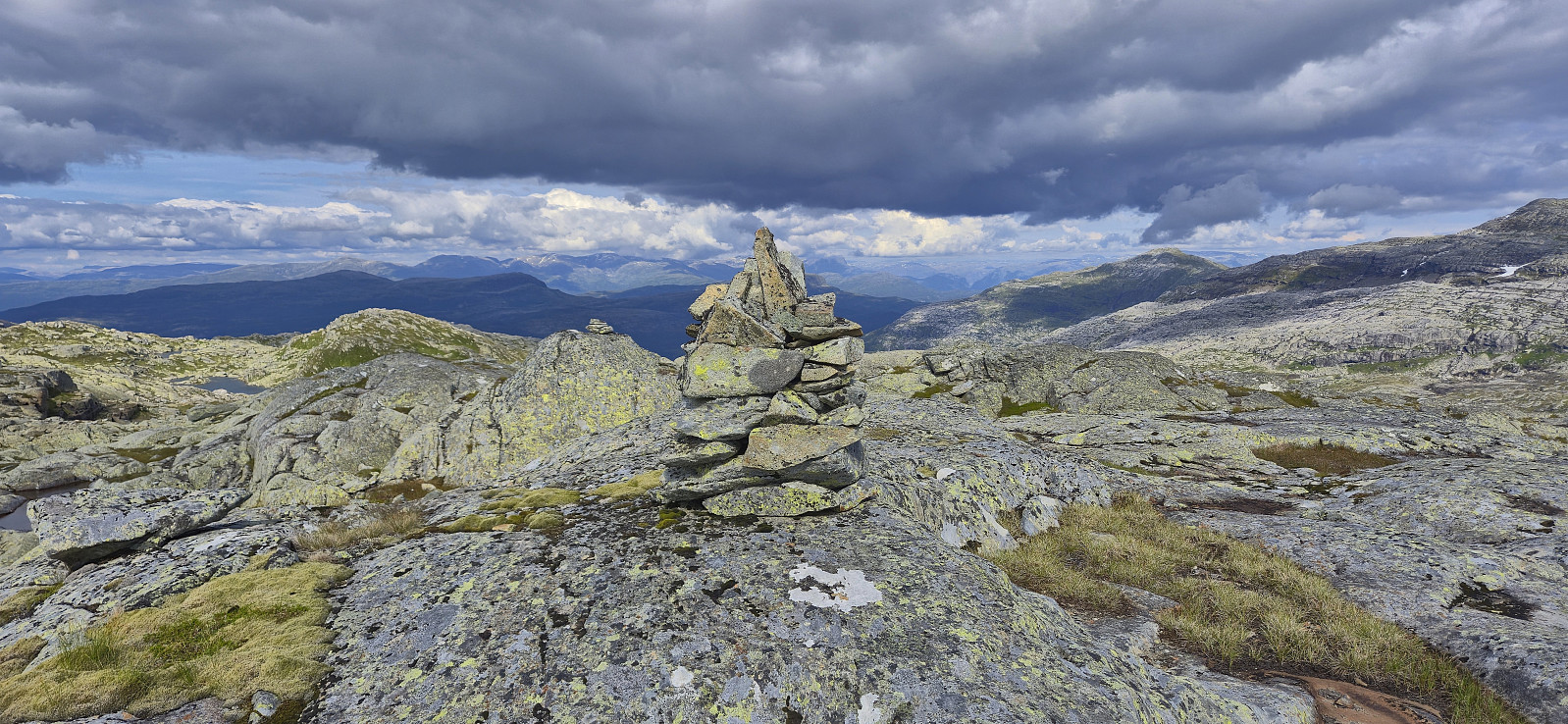
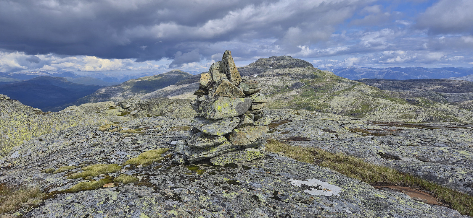
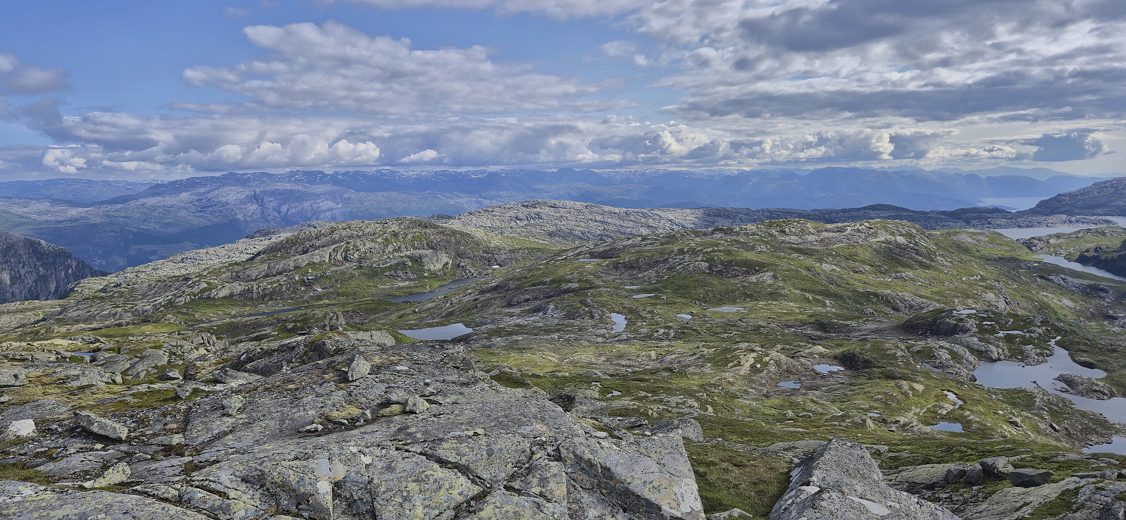
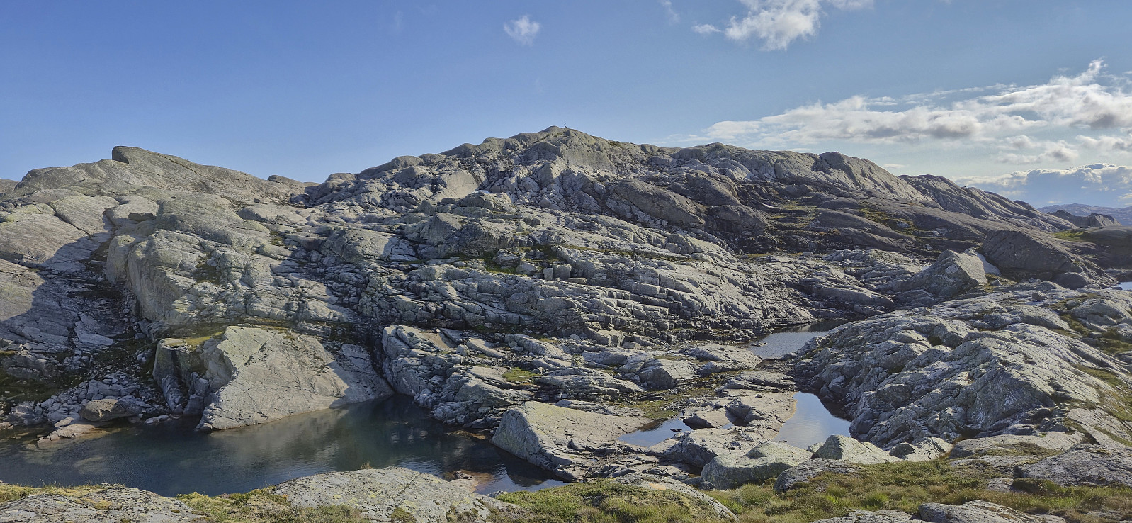
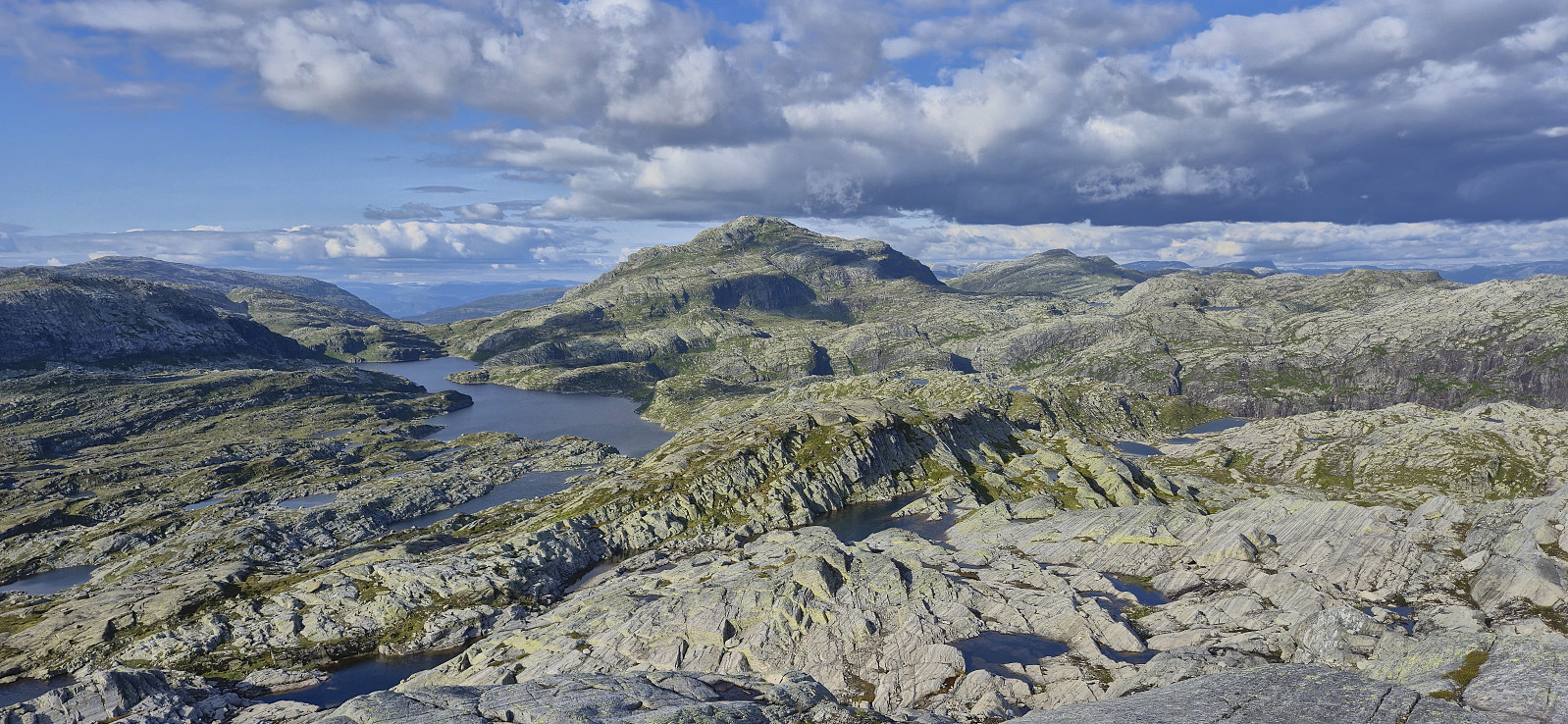
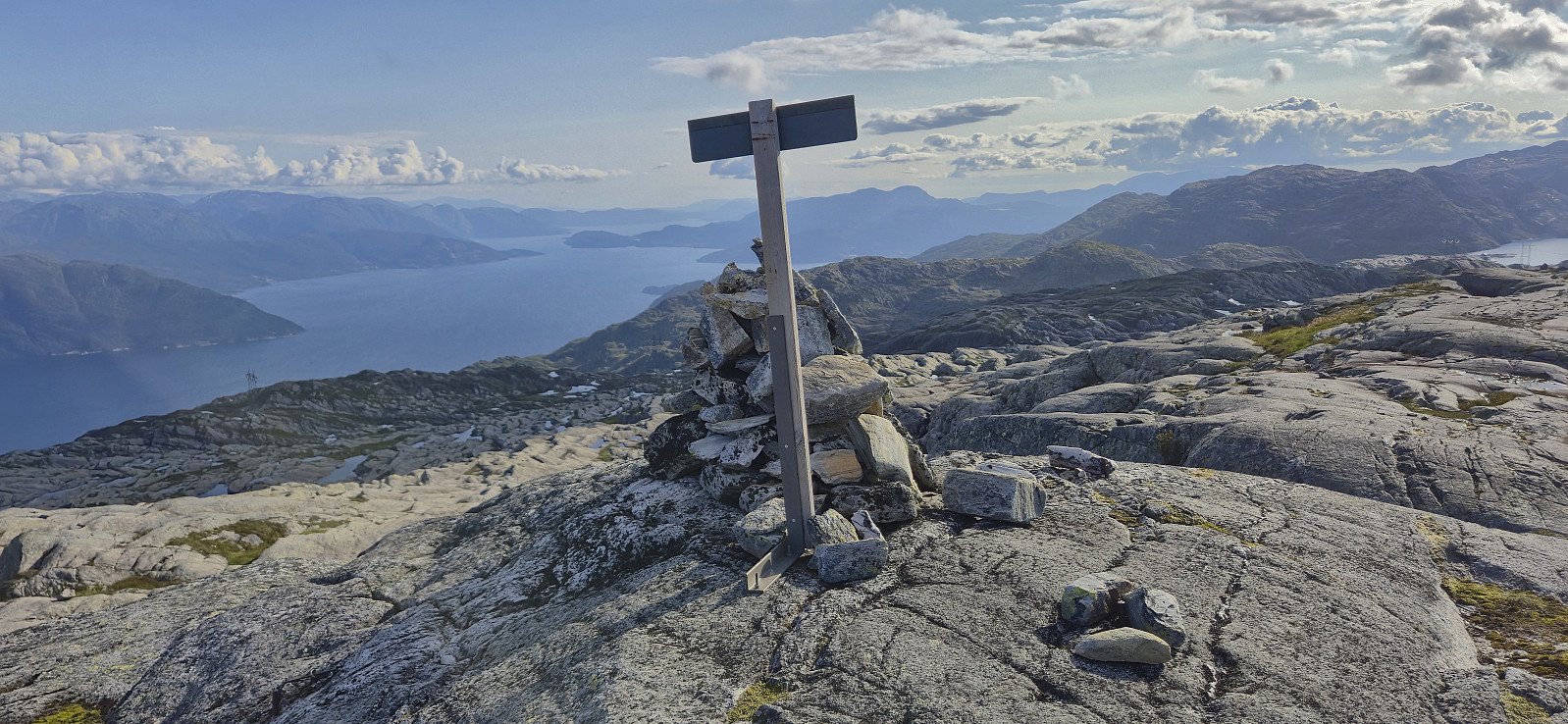
My plan was in any case to leave Giljafjell for last and I therefore instead continued off-trail towards Hyvingen, soon coming across small cairns that led me almost all the way to the summit. After short break at the top I continued northeast along the ridge before turning north/northwest and starting the ascent of Grånakken. This was overall straightforward and I arrived at the summit without any issues.
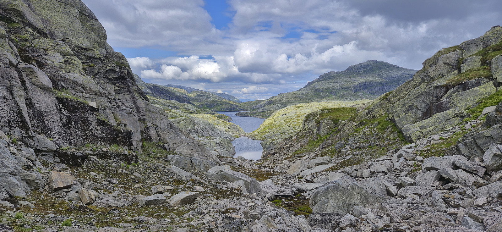
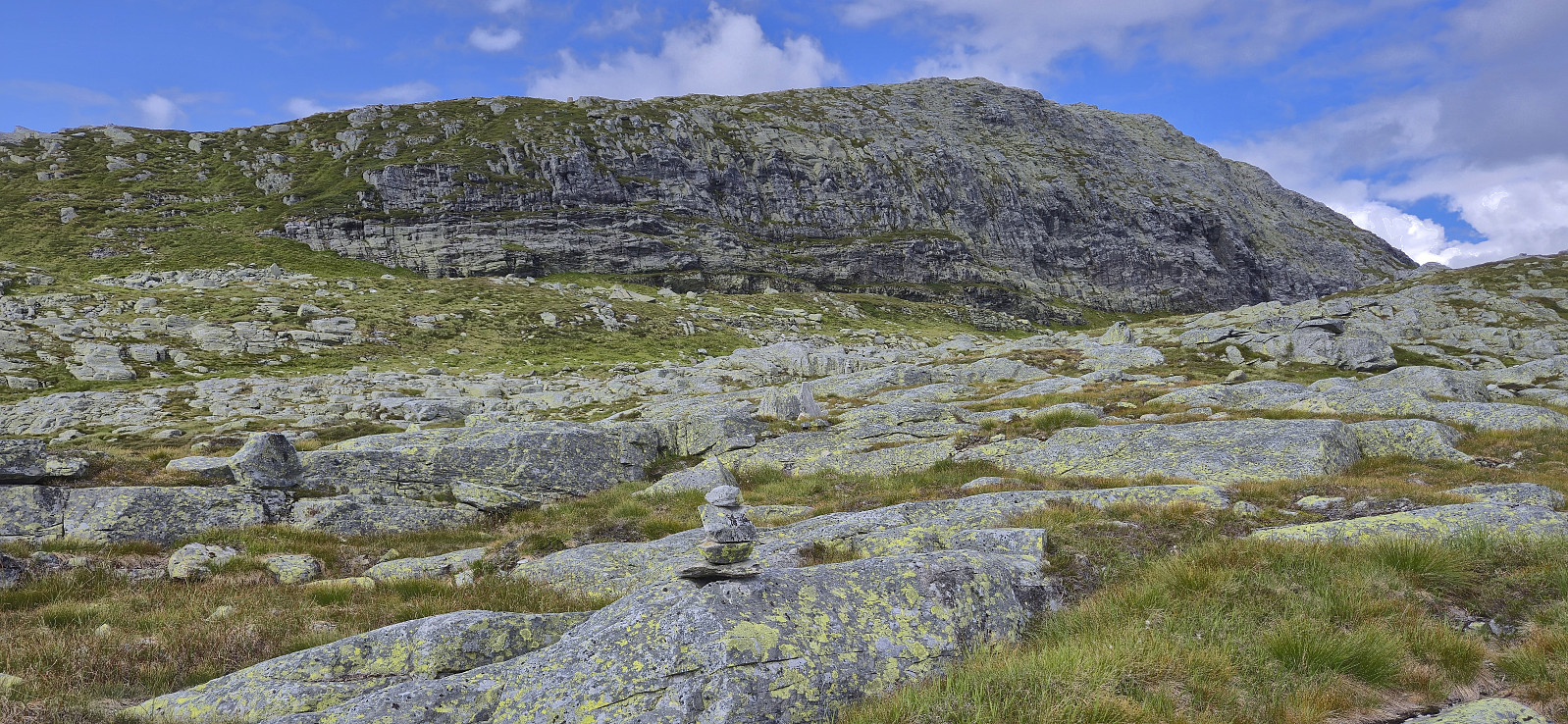
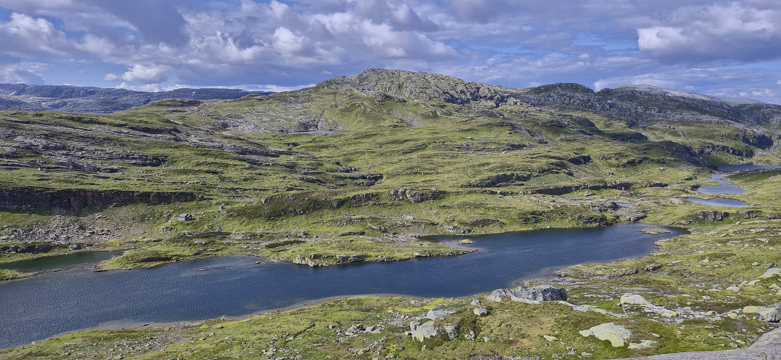
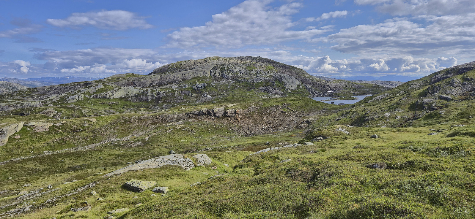
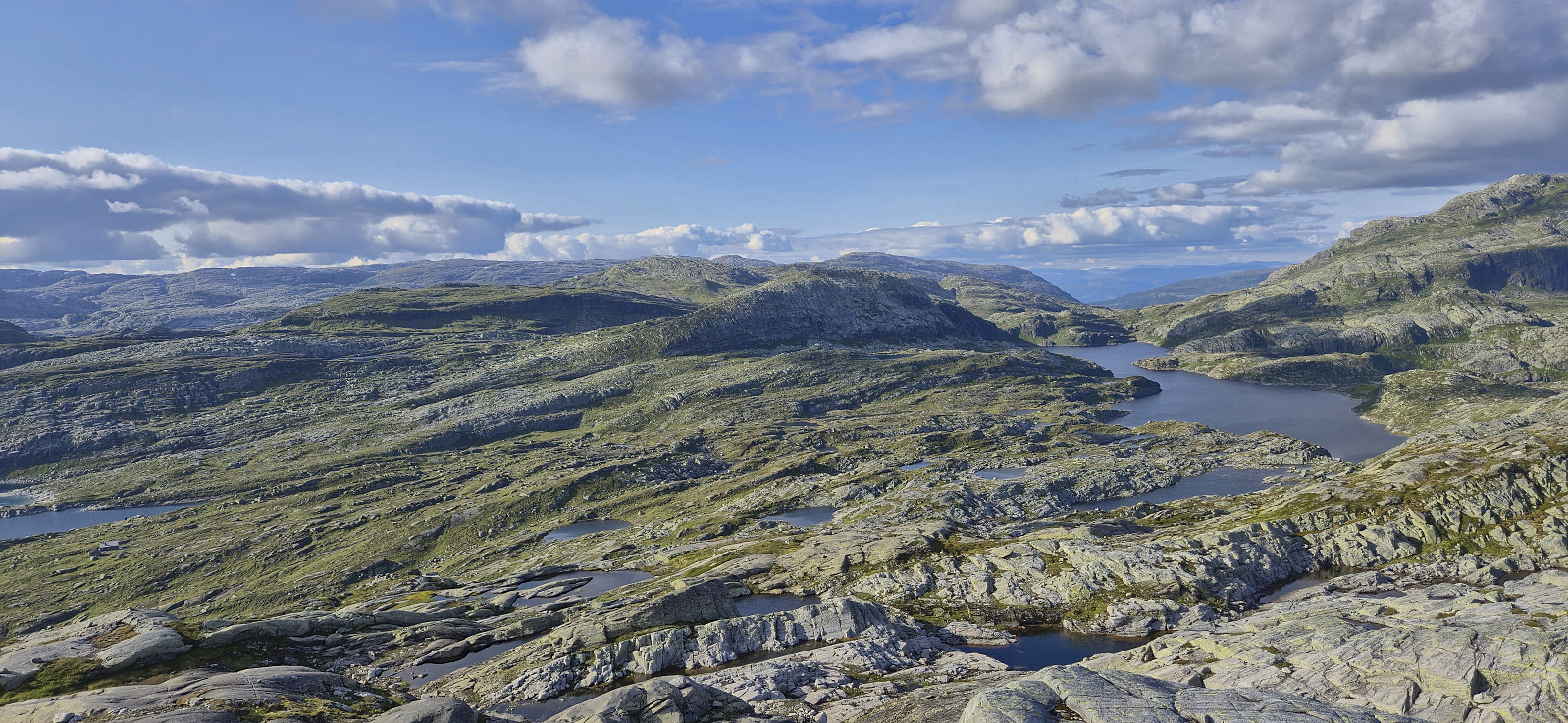
It was finally time to turn my attention to Giljafjell. I returned south to Reinsdyrhytta and then rounded the unnamed 980 lake along its northern bank, largely on an unmarked trail, to reconnect with the start of my ascent route to Hyvingen. Ascending towards Giljafjell required a bit of up and down but did not present any real challenges.
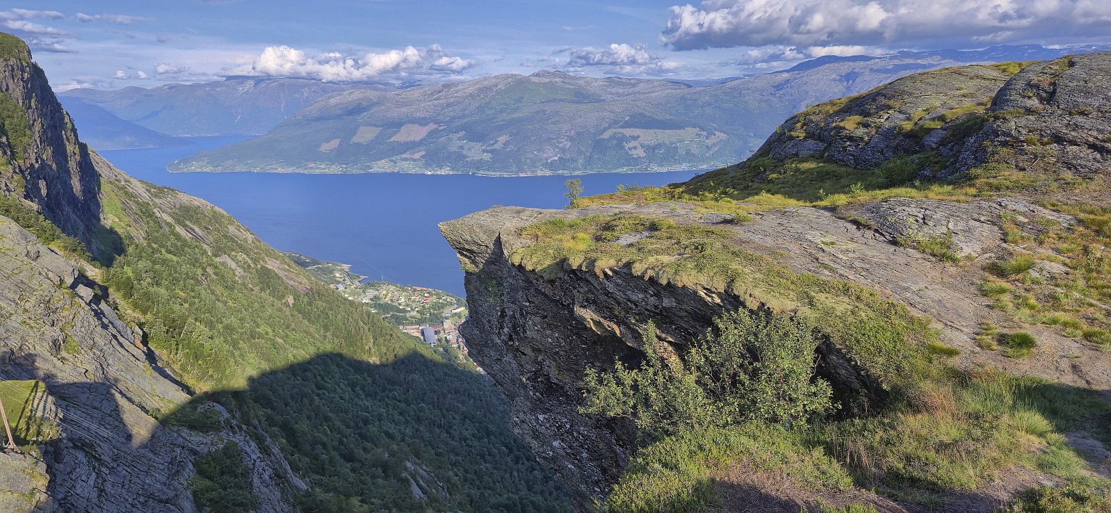
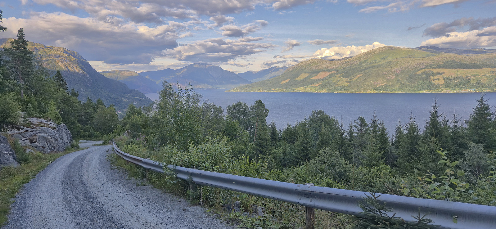
At the summit of Giljafjell I concluded that I greatly had to increase my speed if I was to have any chance of catching the 20:16 bus at Vikedal. Thankfully it was predominantly downhill and I should be on marked trails or gravel road the whole time. However, it did not help that I followed the wrong trail on three occasions! I still made time for a quick visit of Vikedalsnebbet and when finally getting to the gravel road, via a marked shortcut via Heller that was not indicated on the map, I could vary between light jogging and fast walking in order to arrive at the bus stop with around five minutes to spare.
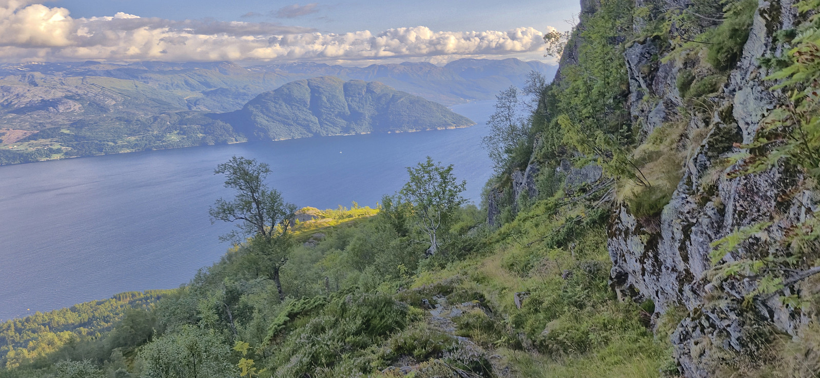
In summary, a great hike in interesting terrain with spectacular views!


| Starttidspunkt | 27.07.2025 12:19 (UTC+01:00 ST) |
| Sluttidspunkt | 27.07.2025 20:07 (UTC+01:00 ST) |
| Totaltid | 7t 48min |
| Bevegelsestid | 7t 04min |
| Pausetid | 0t 44min |
| Snittfart totalt | 3,1km/t |
| Snittfart bevegelsestid | 3,5km/t |
| Distanse | 24,4km |
| Høydemeter | 1728m |

Kommentarer