Nordlifjellet from Geitebu (07.06.2025)

| Start point | Geitebu p-plass (23m) |
|---|---|
| Endpoint | Geitebu p-plass (23m) |
| Characteristic | Hillwalk |
| Duration | 4h 42min |
| Distance | 15.3km |
| Vertical meters | 1,084m |
| GPS |
|
| Ascents | Gråurdstinden (922m) | 07.06.2025 |
|---|---|---|
| Nordlifjellet (971m) | 07.06.2025 | |
| Visits of other PBEs | Geitebu p-plass (23m) | 07.06.2025 |
| Hytteliveien (24m) | 07.06.2025 |
Nordlifjellet from Geitebu
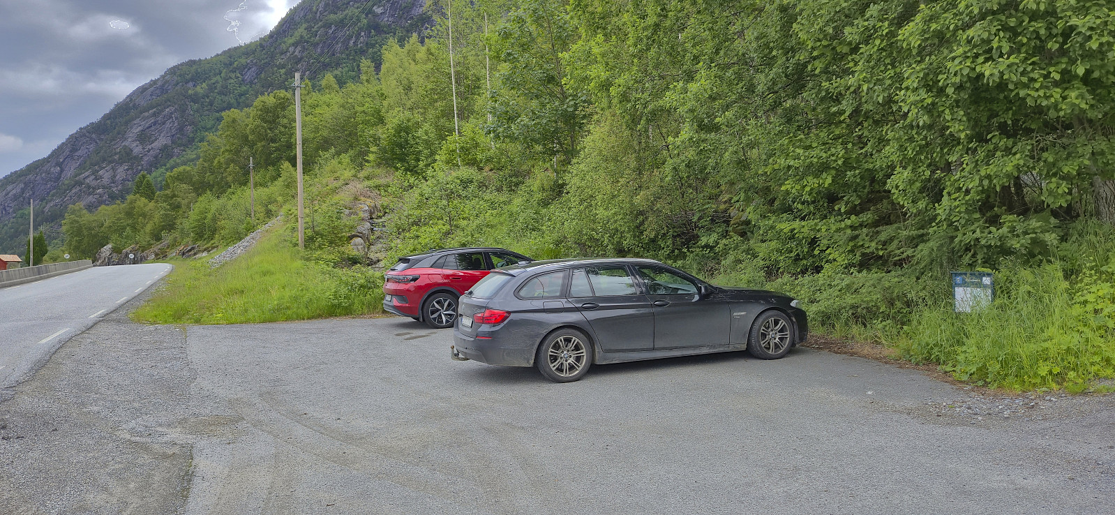
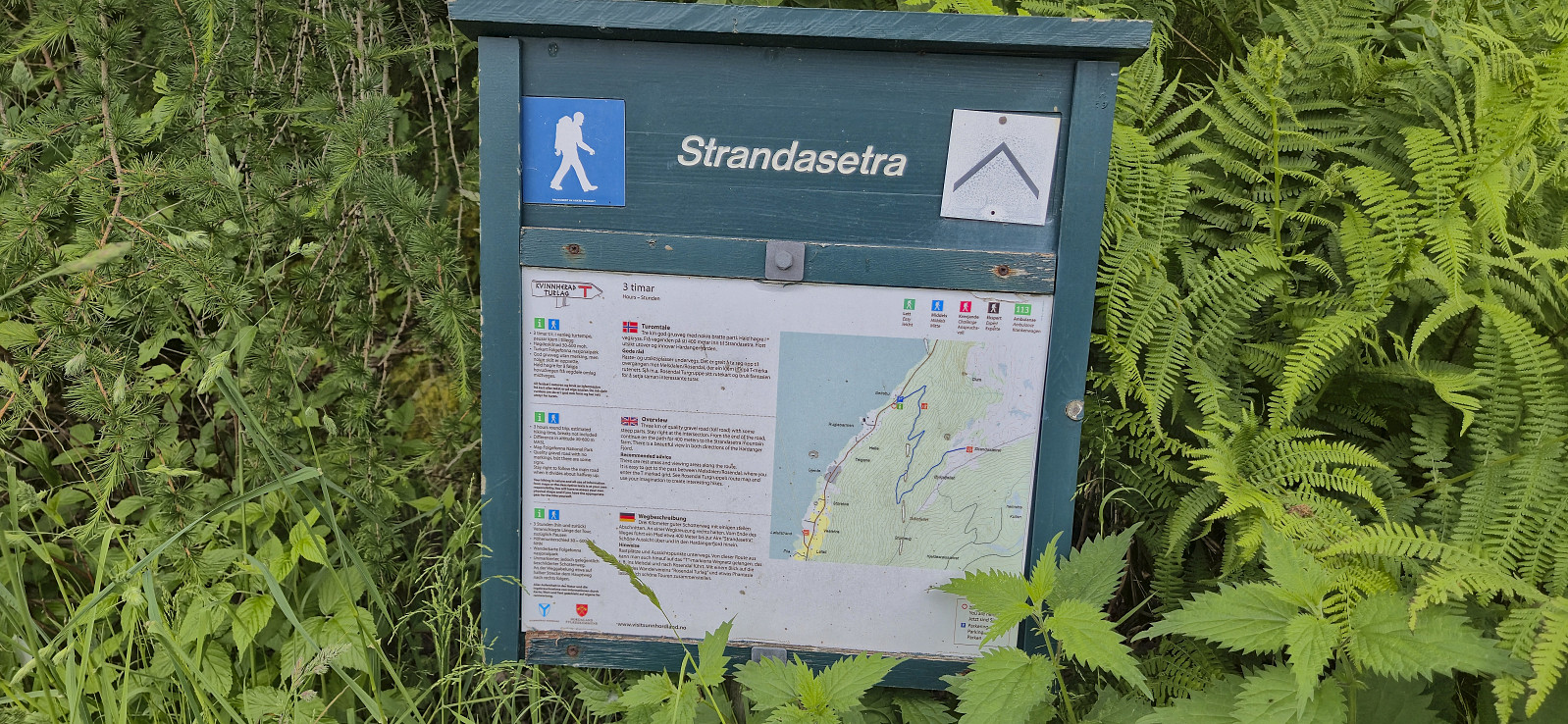
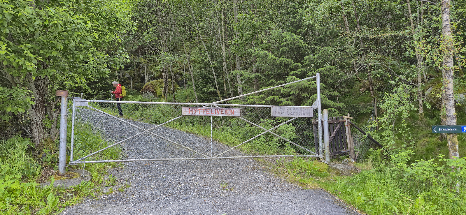
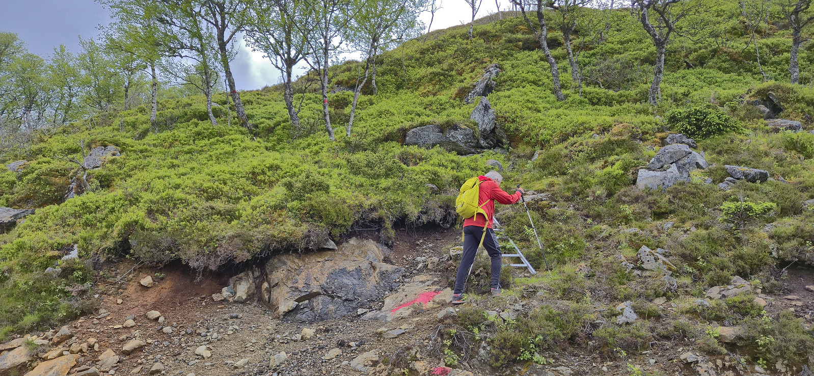
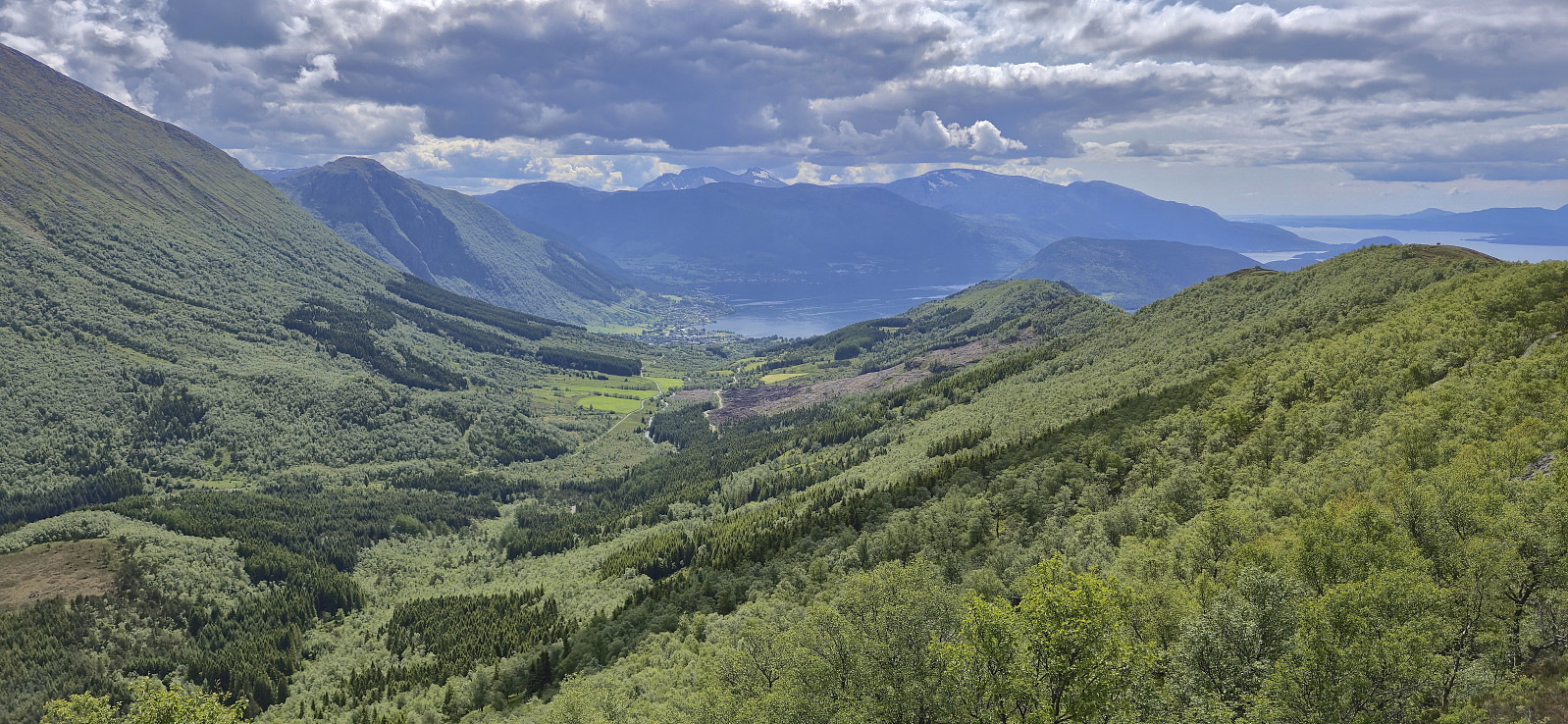
A return to Kvinnherad with Petter. This time the goal was to ascend Nordlifjellet. After the drive from Bergen, and the ferry ride from Gjermundshamn to Årsnes, we drove the short distance south to Geitebu. Here we parked at a small parking lot at the start of the gravel road to Strandasætret. The gravel road was of good quality and we could easily have driven almost all the way to Strandasætret, however there was a locked gate just above the parking lot.
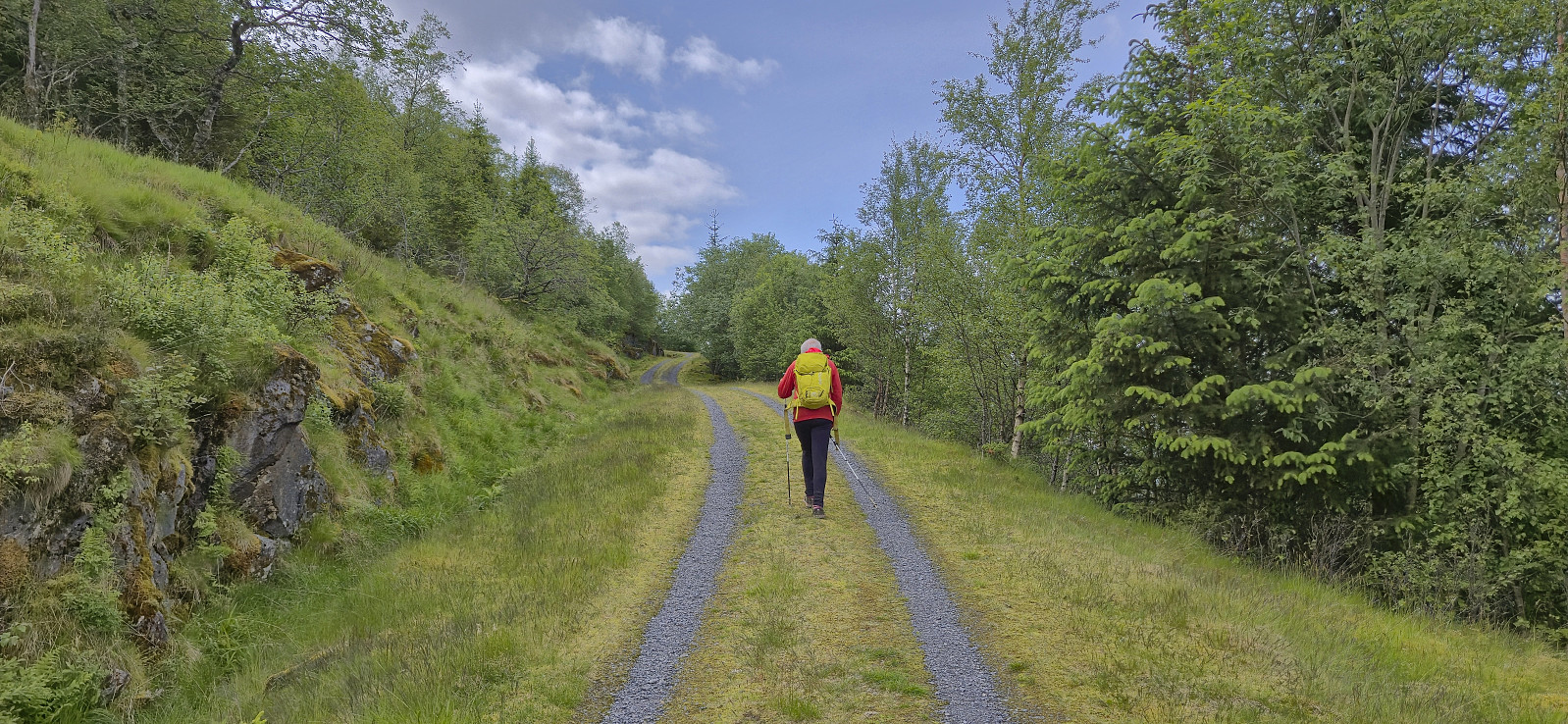
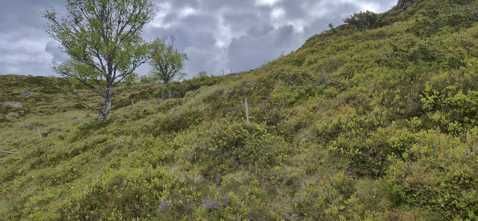
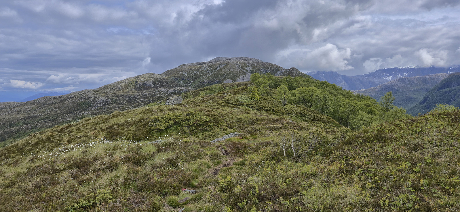
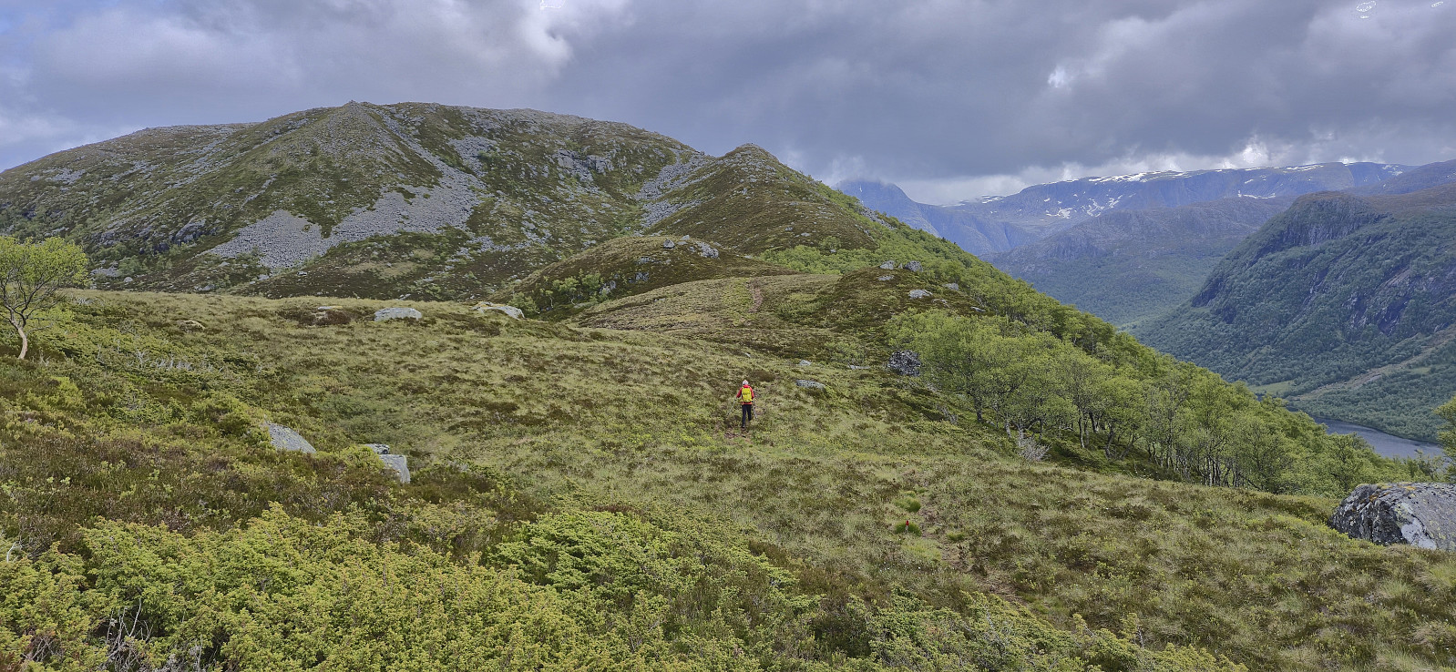
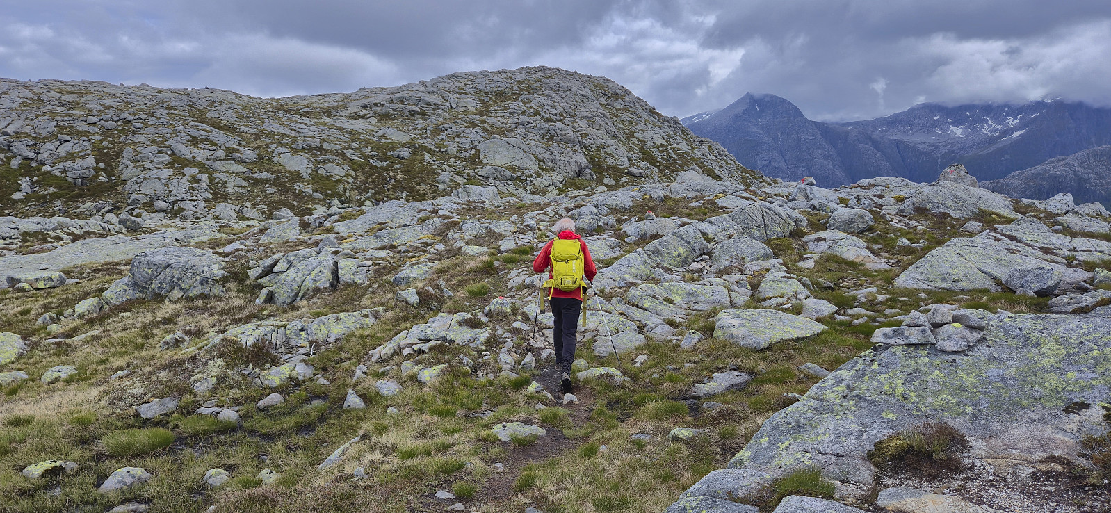
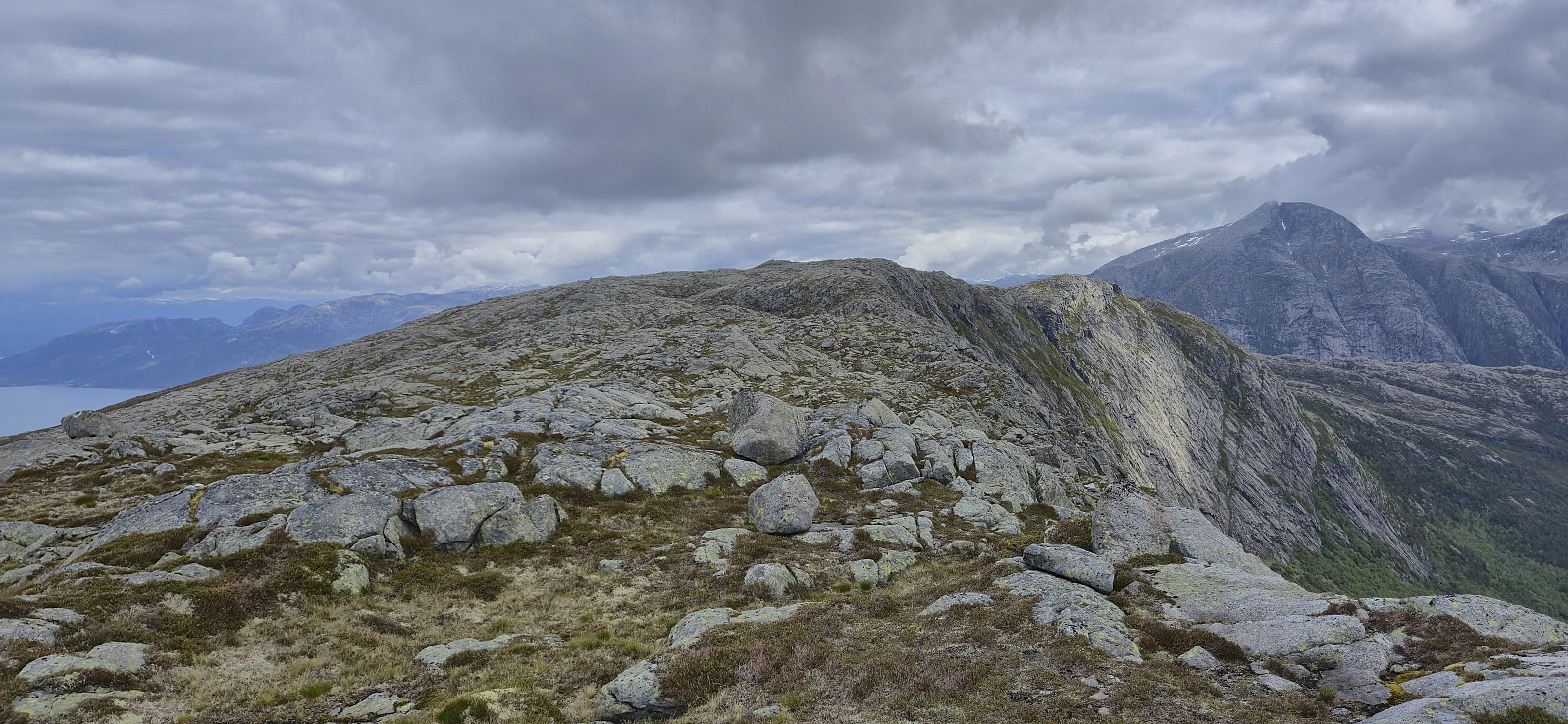
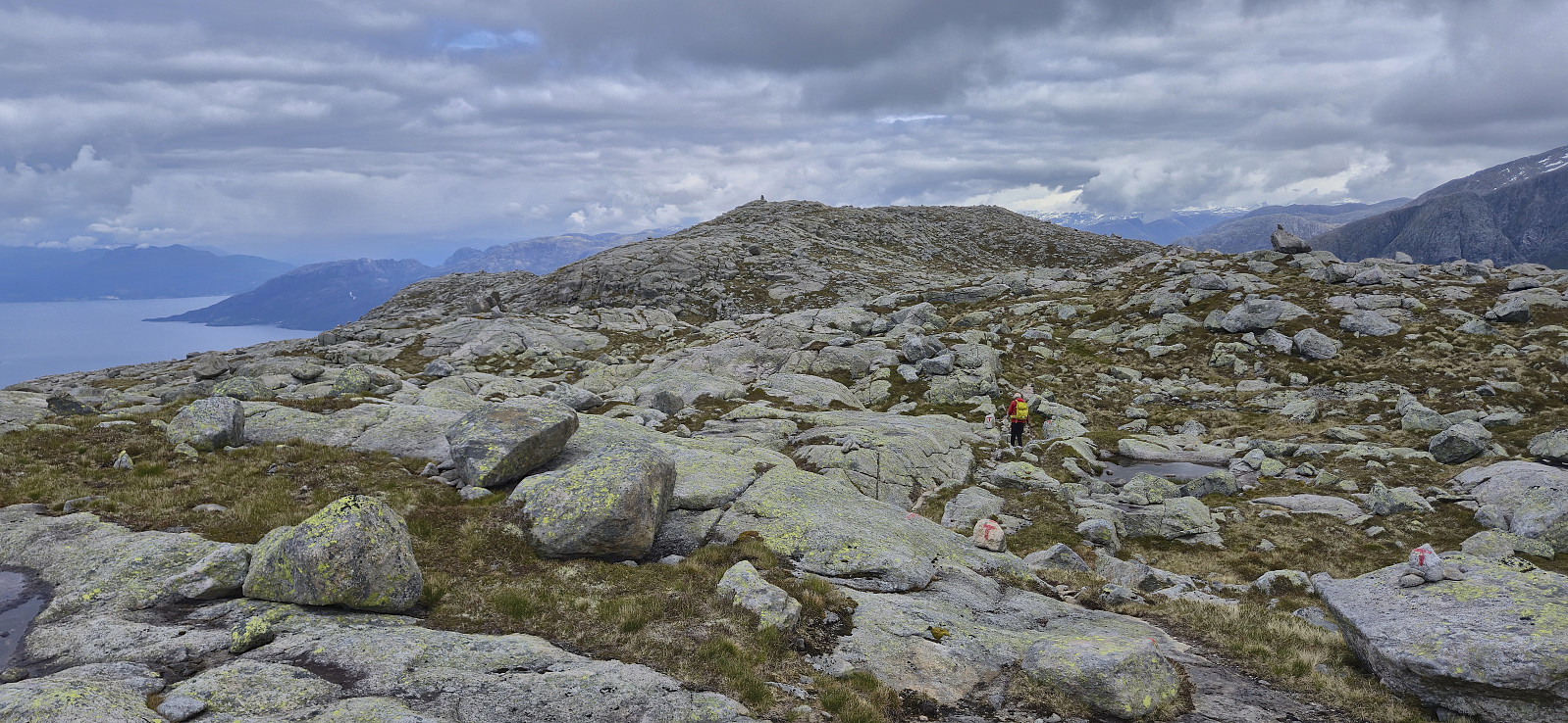
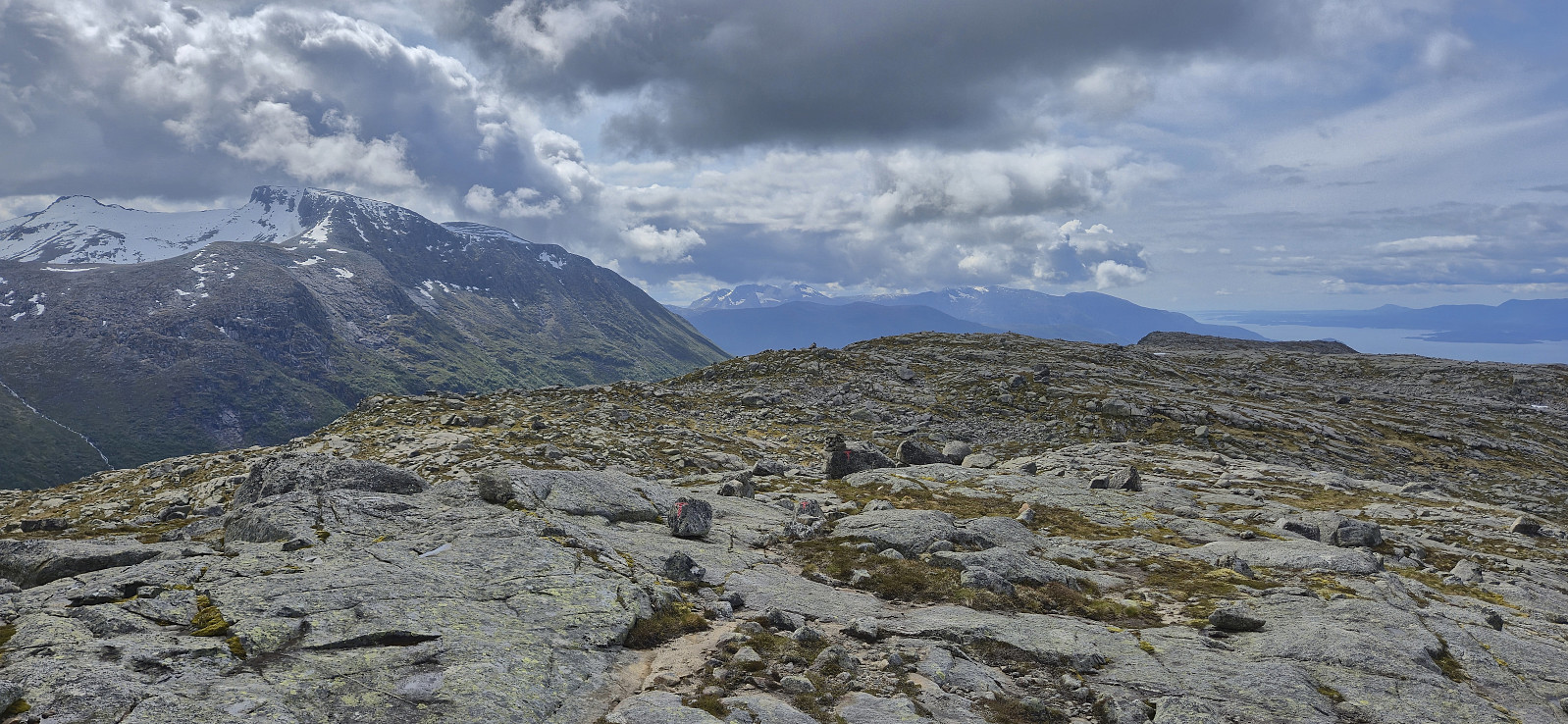
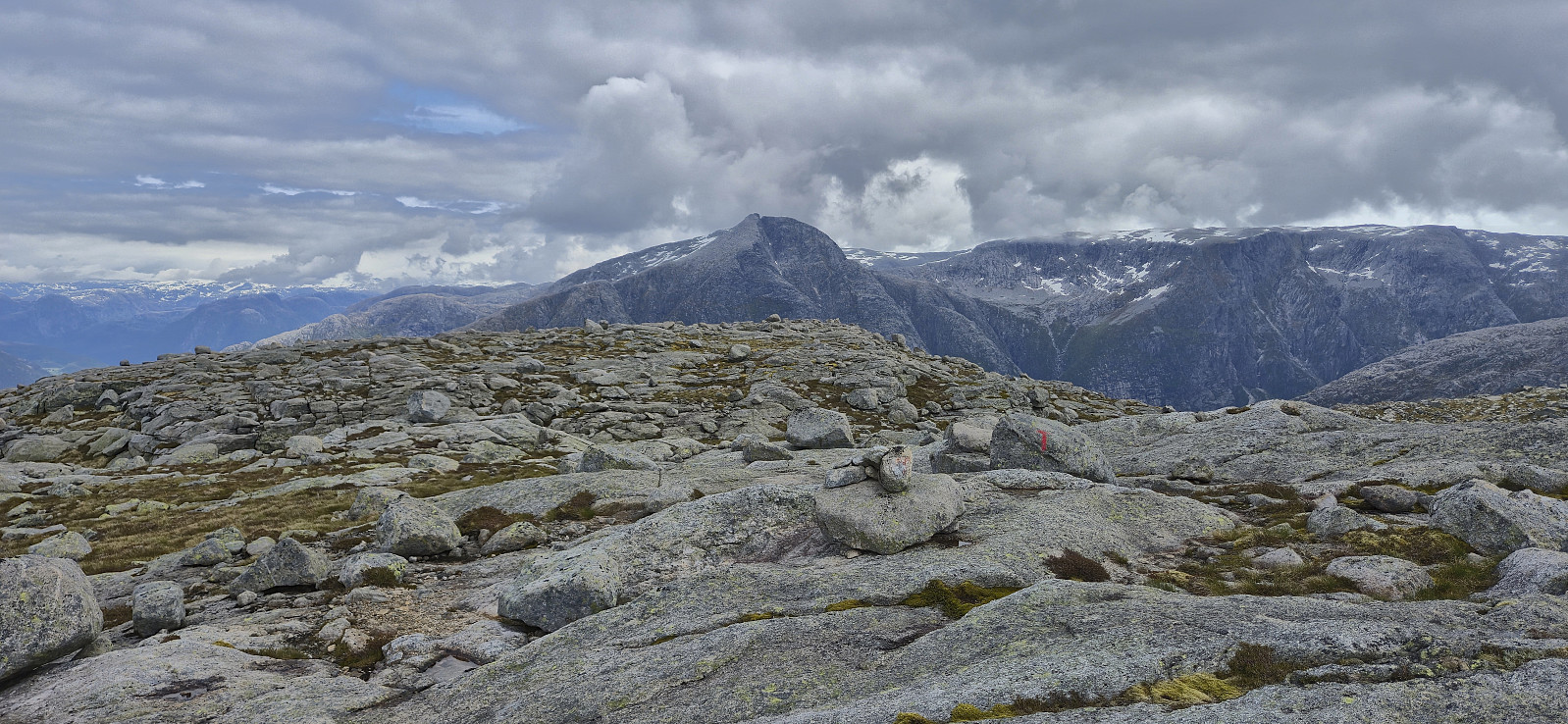
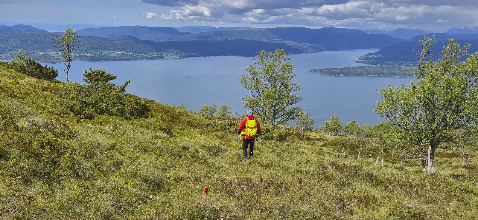
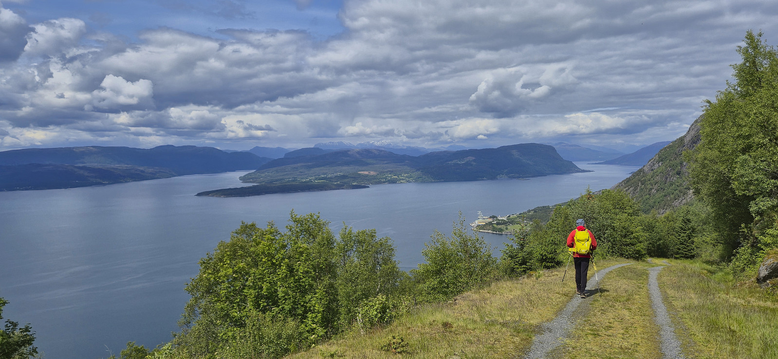
When the gravel road came to an end just southwest of Strandasætret, we continued on what looked like a relatively new marked route east in order to connect with the trail marked with red T's that follows the ridge from Rosendal to Nordlifjellet. From there on it was simply a matter of following the marked trail all the way to the summit. On the way there I also made a short detour to the highest point at Gråurdstinden.
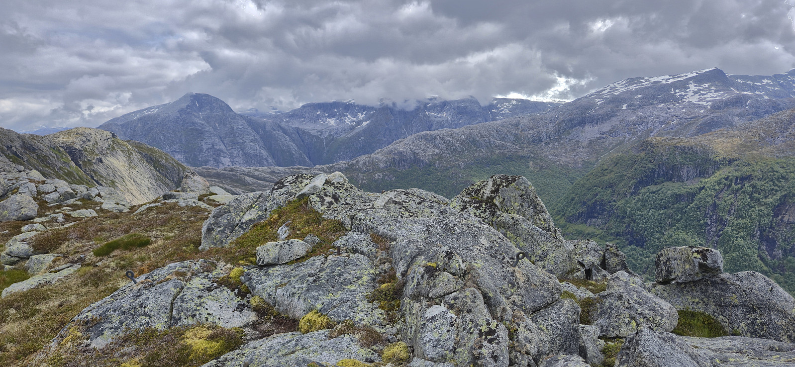
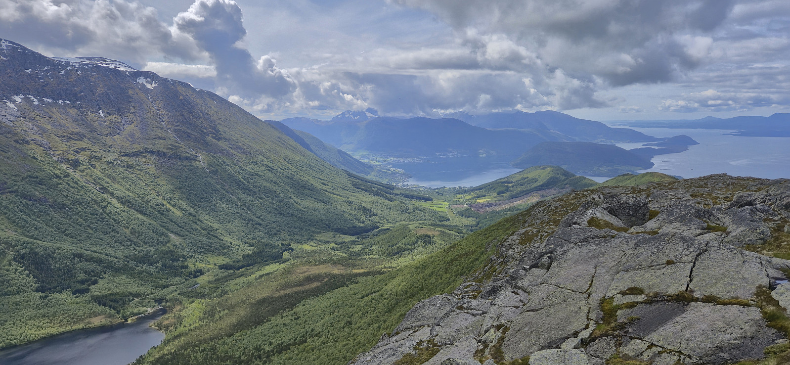
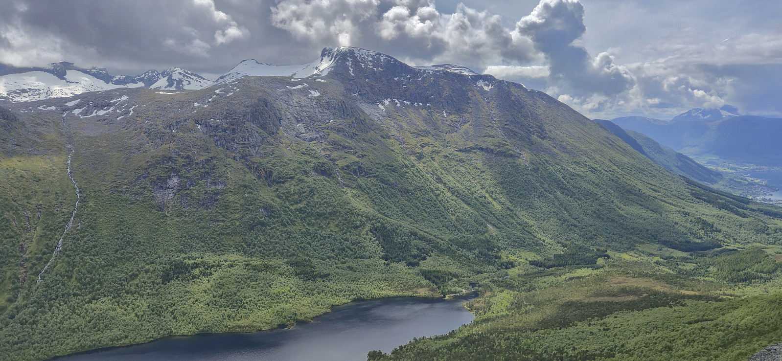
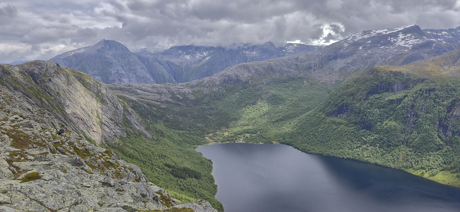
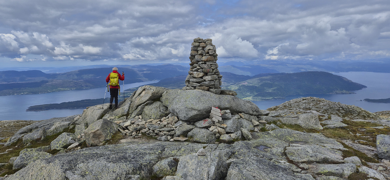
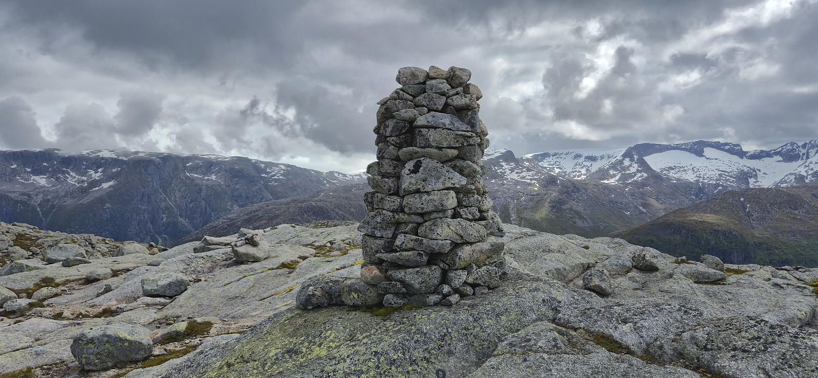
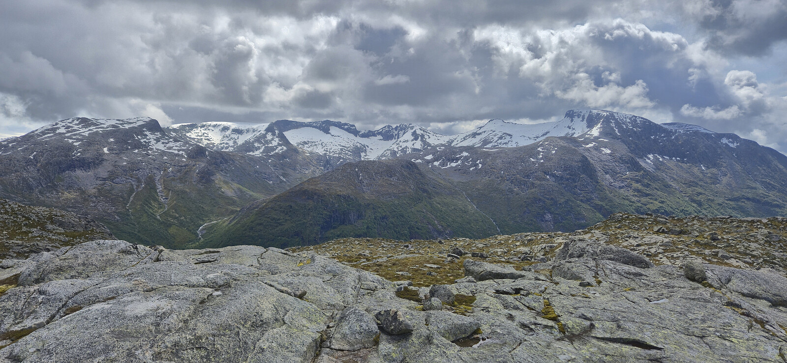
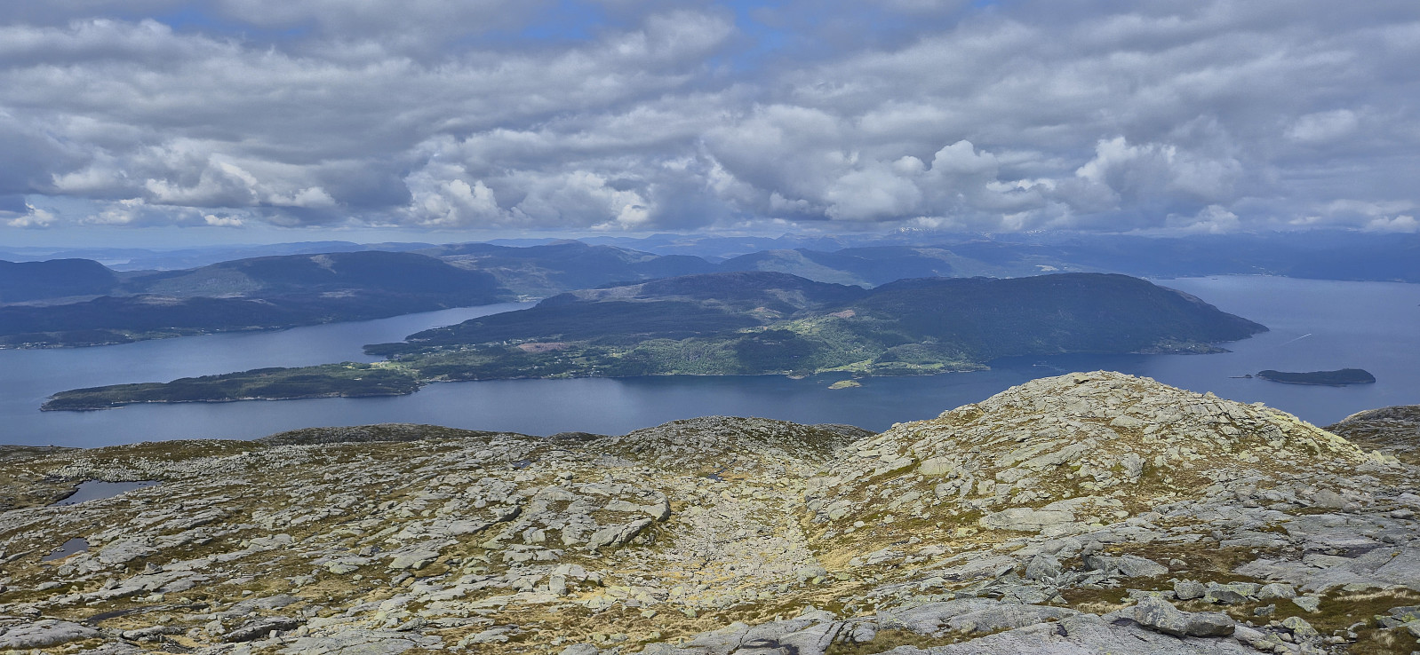
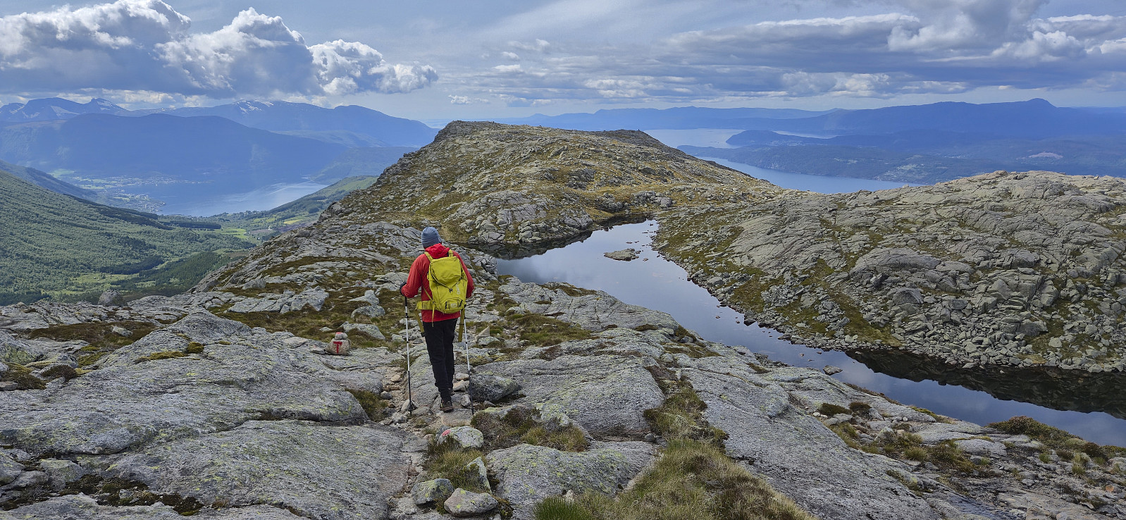
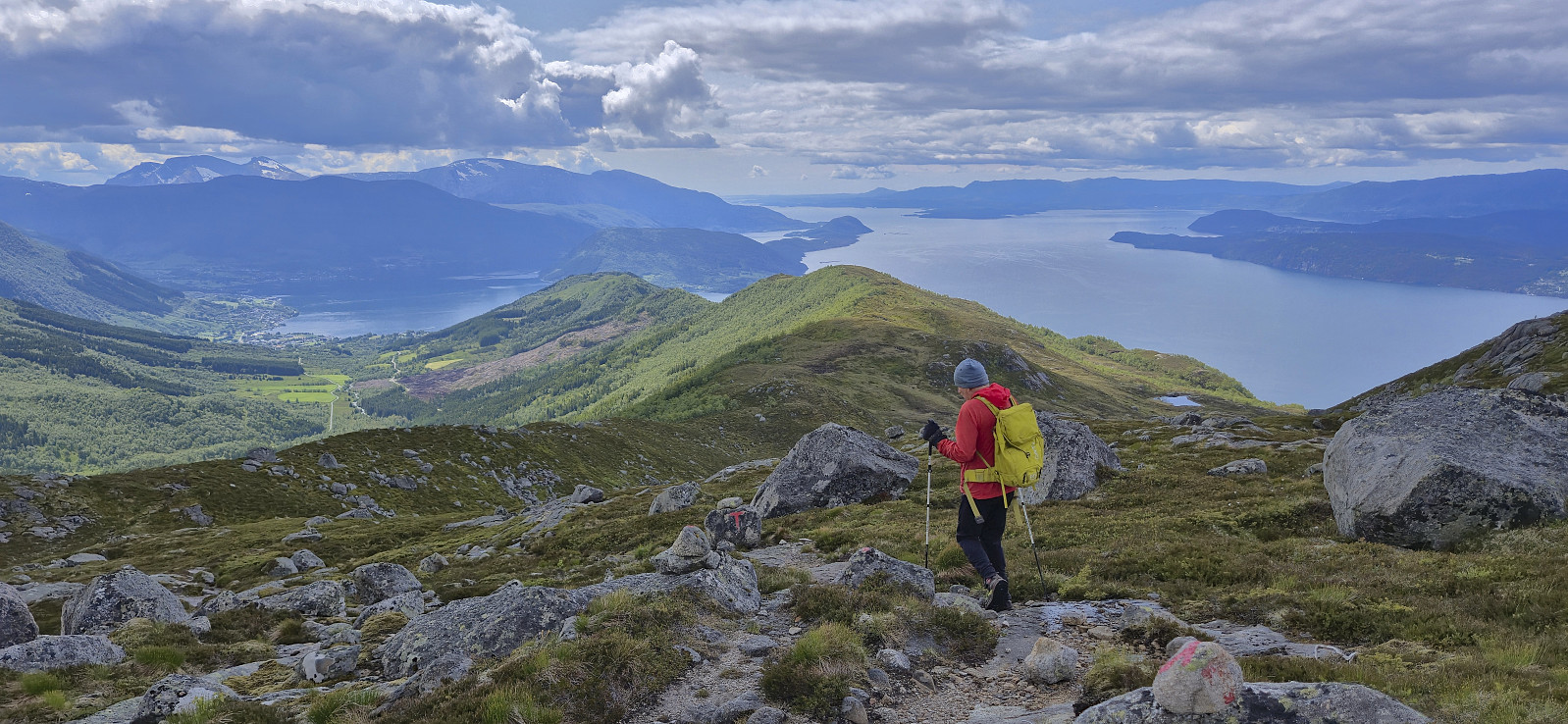
The summit, and most of the ascent, provided excellent views, especially towards Rosendalsalpene to the south and Gygrastolen to the east. After a short break we descended along the same route. Back in the car, we decided that we had time for one more peak and therefore headed northeast to ascend Øvrehusknotten.
In summary, a hike from Geitebu to Nordlifjellet can be very highly recommended. Good trails and excellent views.
| Start date | 07.06.2025 10:29 (UTC+01:00 DST) |
| End date | 07.06.2025 15:11 (UTC+01:00 DST) |
| Total Time | 4h 42min |
| Moving Time | 4h 24min |
| Stopped Time | 0h 18min |
| Overall Average | 3.3km/h |
| Moving Average | 3.5km/h |
| Distance | 15.3km |
| Vertical meters | 1,084m |

User comments