Klettenhytta, Høgehaugen, Veten and Brurahornet (30.05.2025)

| Start point | Måløy hurtigrutekai (2m) |
|---|---|
| Endpoint | Måløy hurtigbåtkai (2m) |
| Characteristic | Hillwalk |
| Duration | 7h 40min |
| Distance | 18.7km |
| Vertical meters | 1,268m |
| GPS |
|
| Ascents | Brurahornet (556m) | 30.05.2025 |
|---|---|---|
| Brurahornet Vesttoppen (599m) | 30.05.2025 | |
| Høgehaugen (164m) | 30.05.2025 | |
| Veten på Vågsøy (613m) | 30.05.2025 | |
| Visits of other PBEs | Varden på Brurahornet (544m) | 30.05.2025 |
| Klettenhytta (138m) | 30.05.2025 | |
| Måløy (0m) | 30.05.2025 |
Klettenhytta, Høgehaugen, Veten and Brurahornet
On my way from Trondheim to Bergen, I woke up at Kystruten at 04:50 such that I would be ready to disembark when we arrived at Måløy at 05:45. As I was the only passenger leaving the boat at this location, I was led down to a smaller side exit. This made me feel a bit like I was part of 71 Grader Nord, although thankfully I could simply walk off the boat and not swim to the shore as the contestants sometimes have had to do. ;)
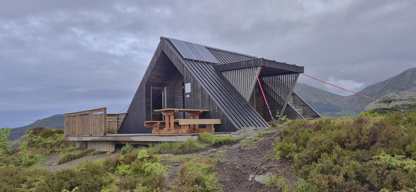
It had been too early for breakfast to be served on the boat and with the shops not opening for at least another hour, I decided to have a shorter warm up and therefore first headed for Klettenhytta. This also allowed me to get used to my rather heavy backpack before starting the upcoming longer and steeper ascents.
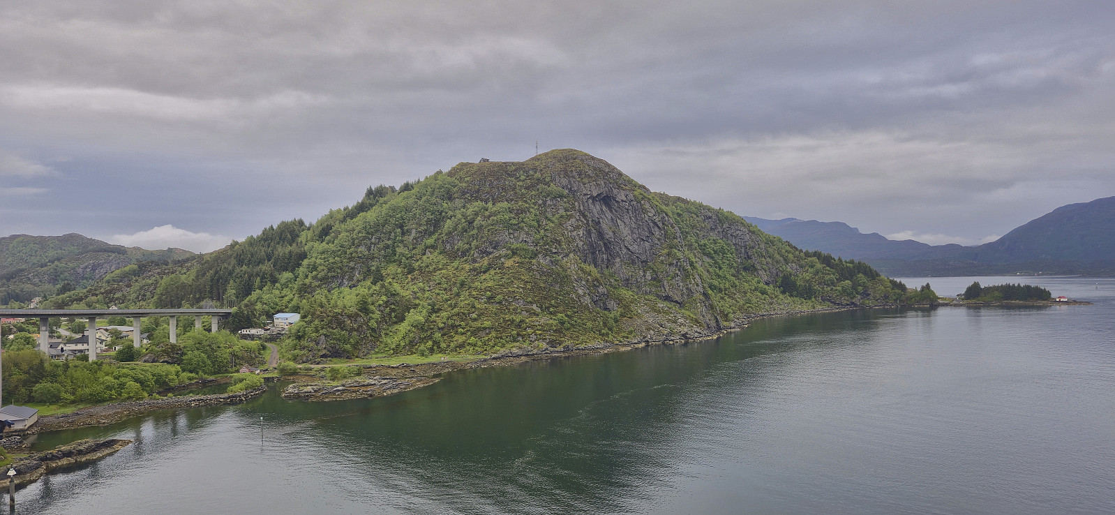
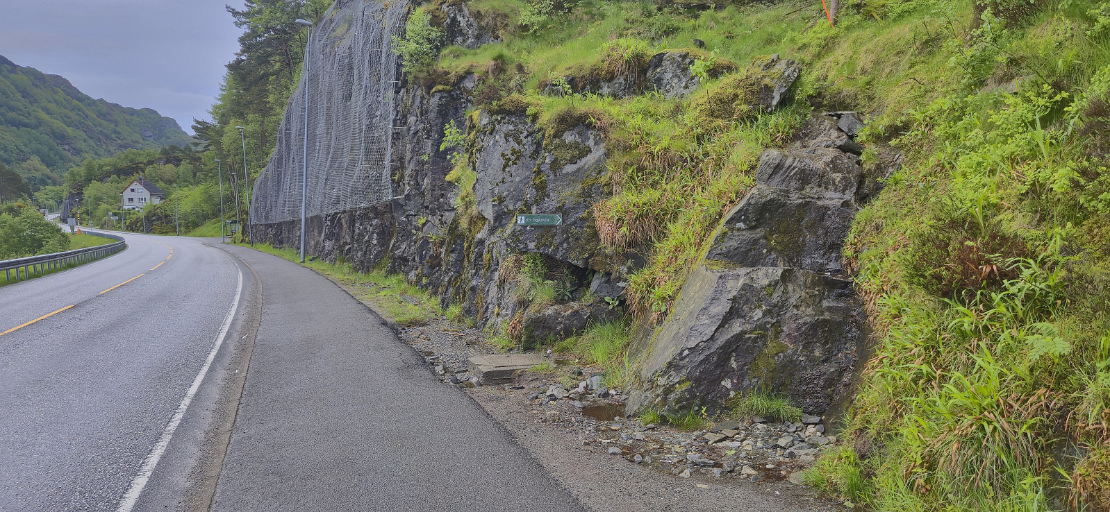
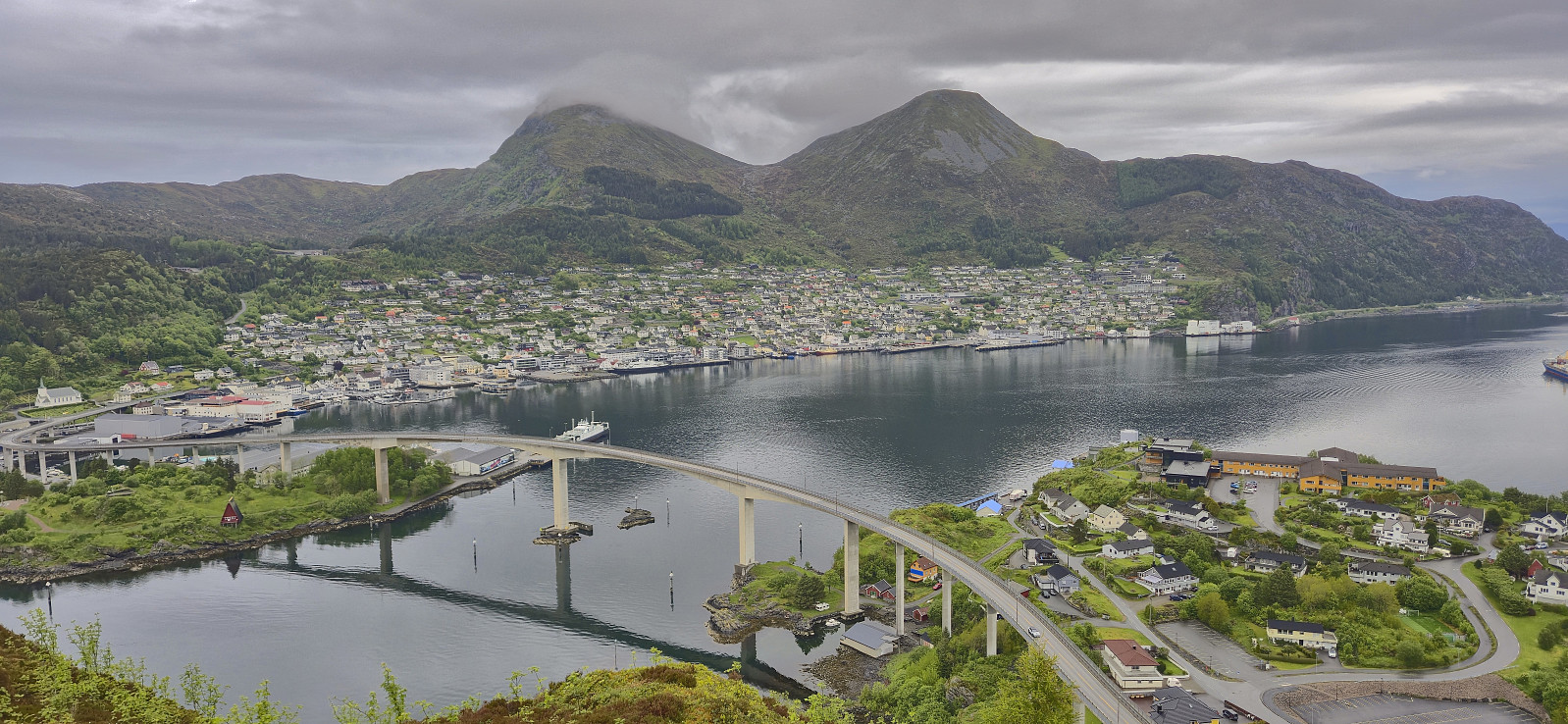
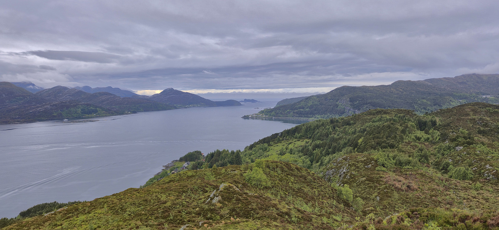
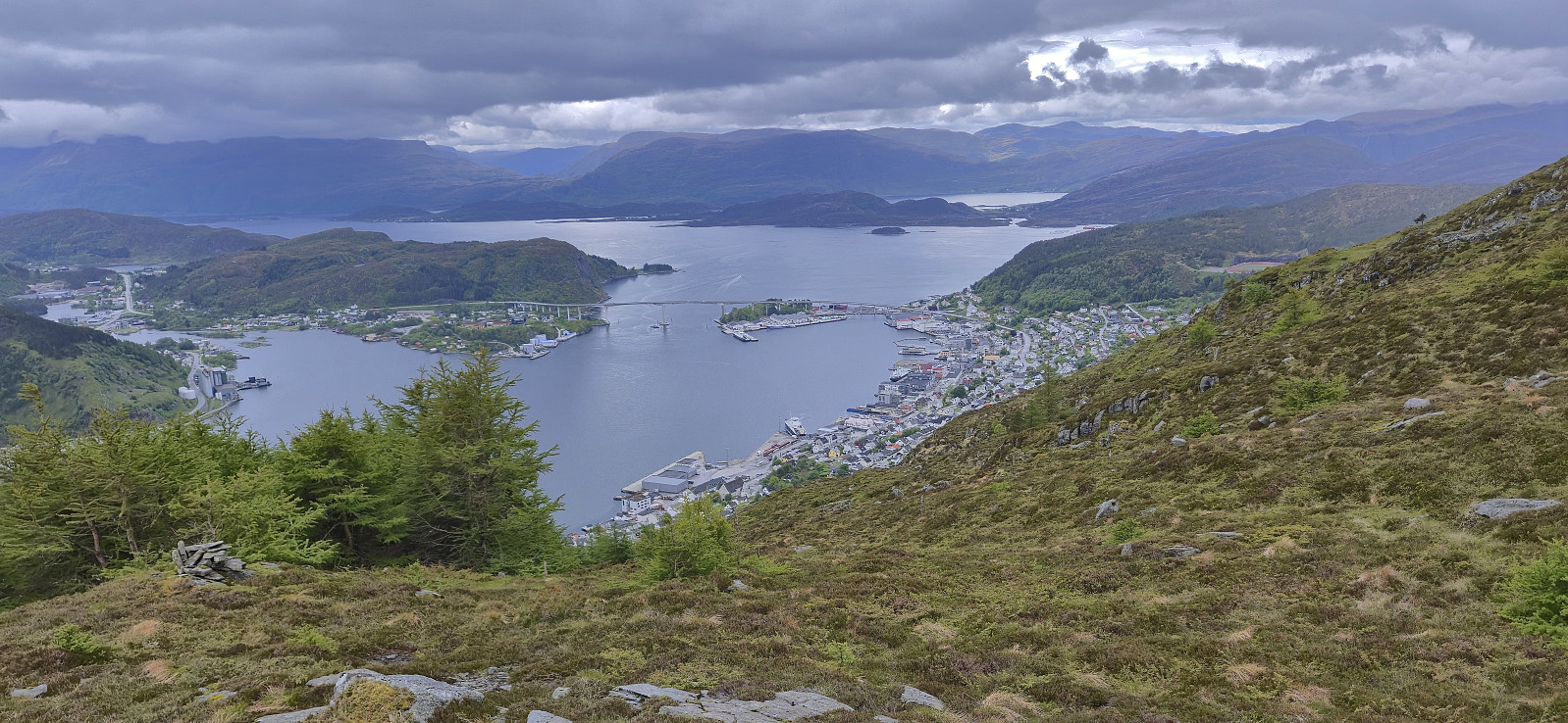
After crossing Måløybrua I located the marked trailhead for Klettenhytta and easily followed the relatively wet trail all the way to the cabin. It provided an excellent overview of Måløy and the peaks coming up later. But first I turned southeast and continued on a weaker trail, especially towards the end, to the summit of Høgehaugen. Great views here as well, even more so for being at only 164 meters above sea level.
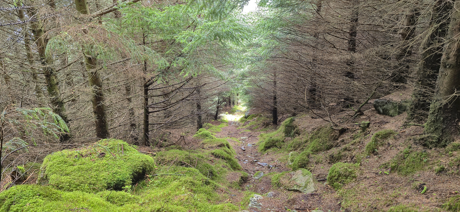
As I did not want to return along the wet trail, I continued southeast along a weak trail to Okshola where I connected with a gravel road taking me to the paved road which I then followed back to Måløy. Upon returning to Måløy the grocery stores had opened I could finally buy a light breakfast that I ate outside the store, plus some additional supplies for the rest of the day.
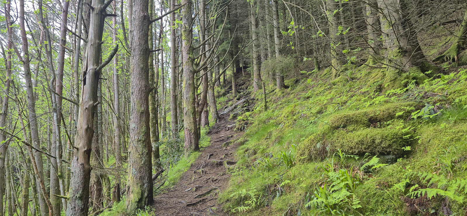
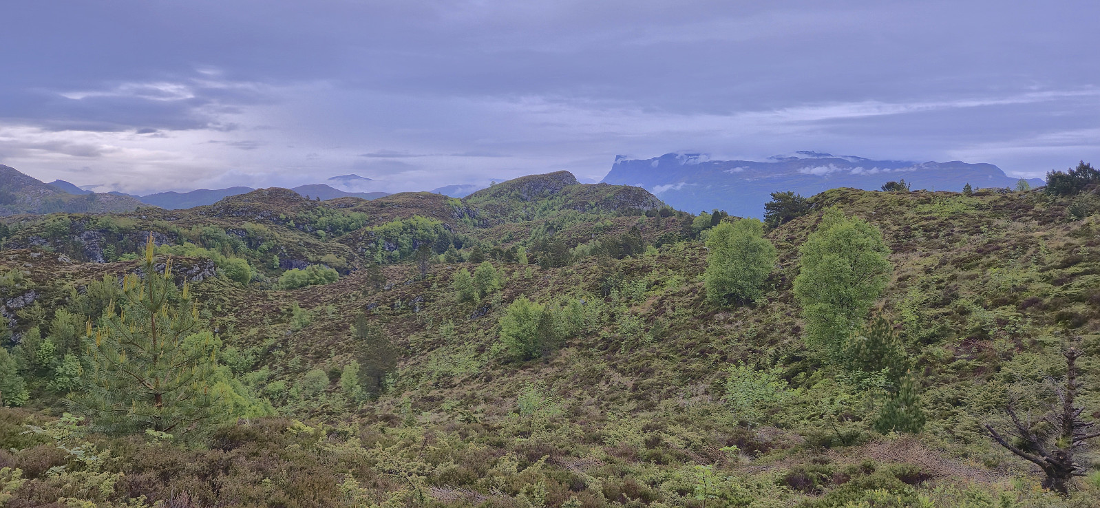
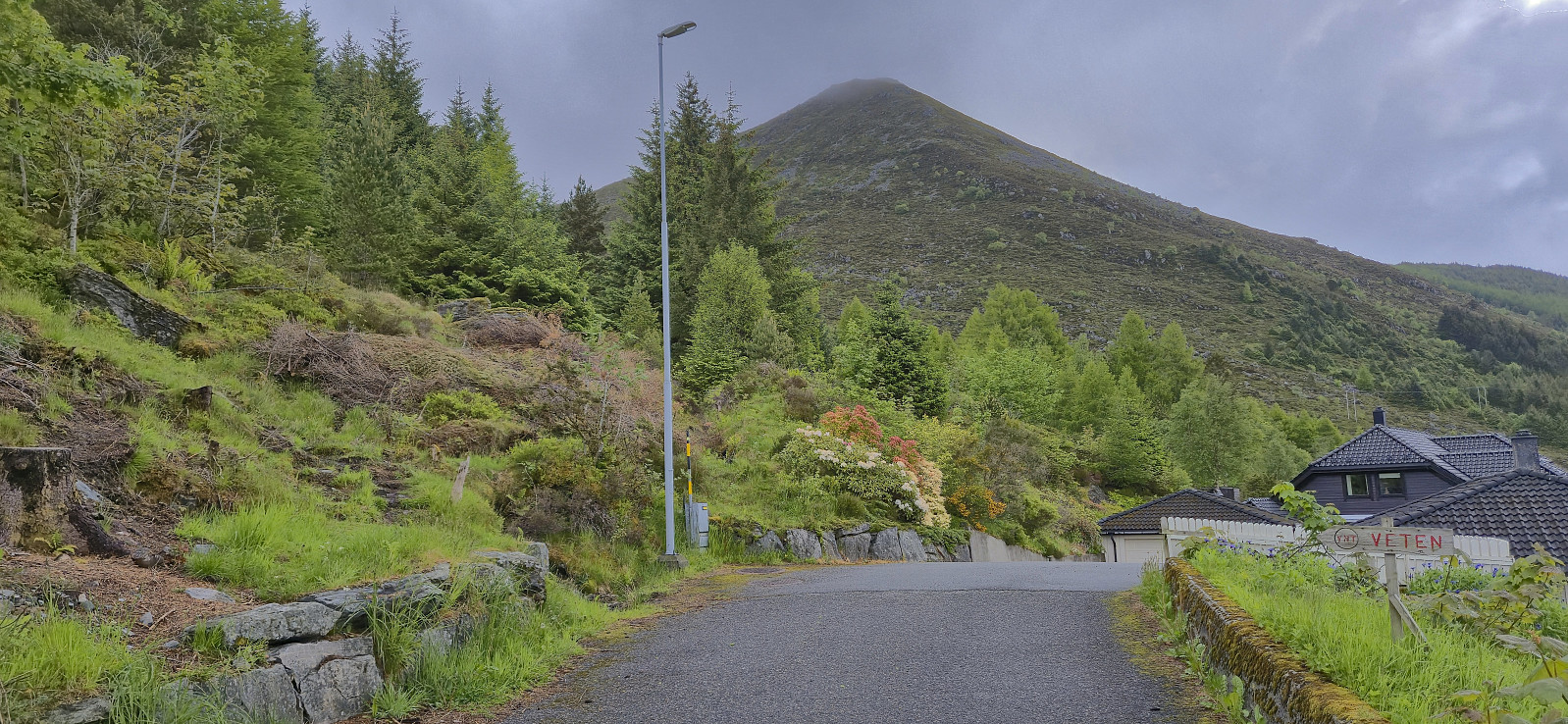
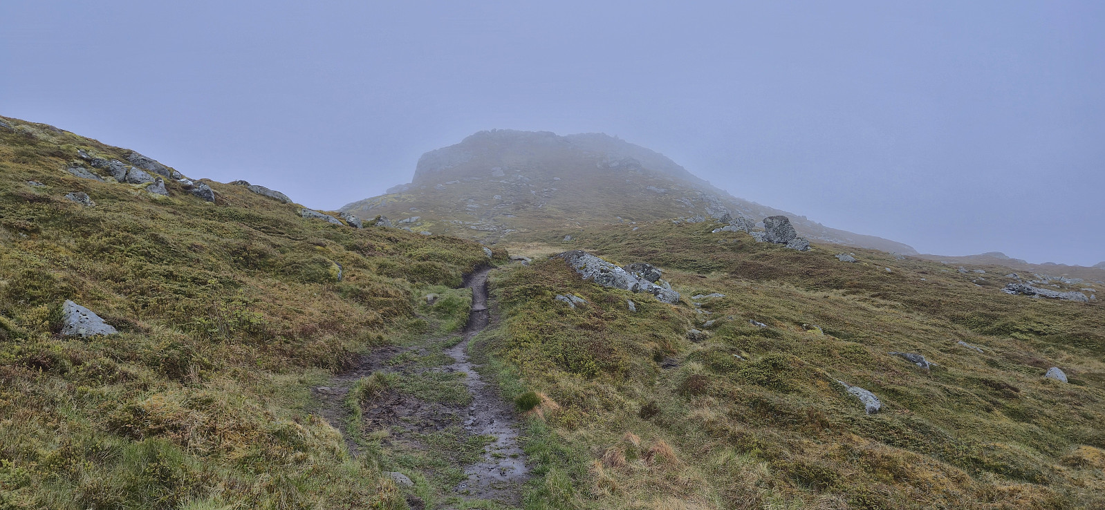
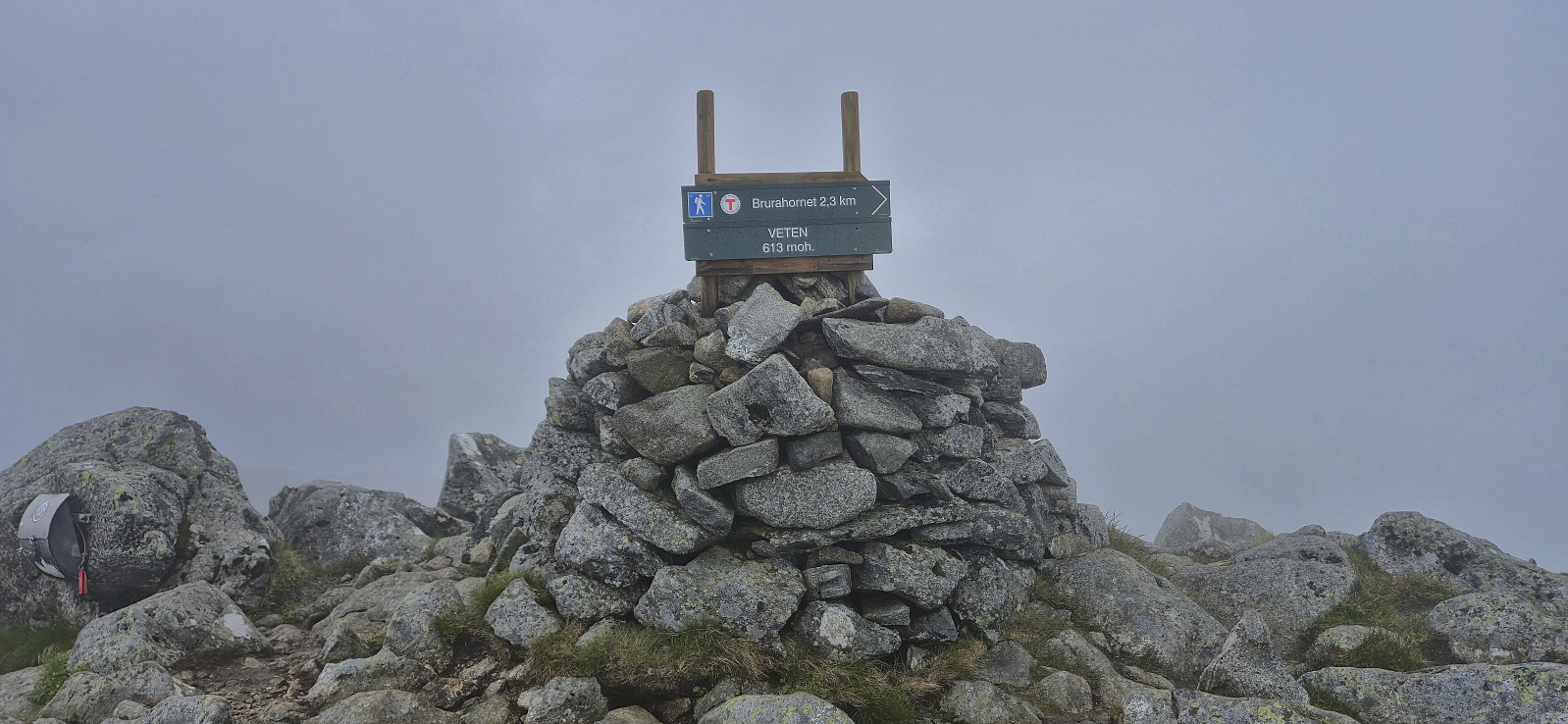
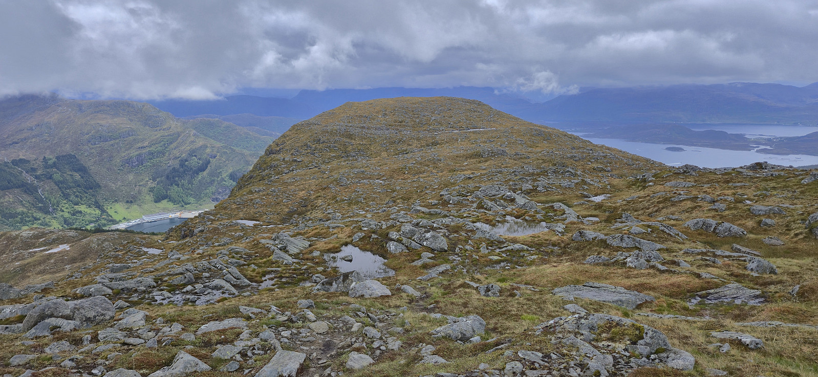
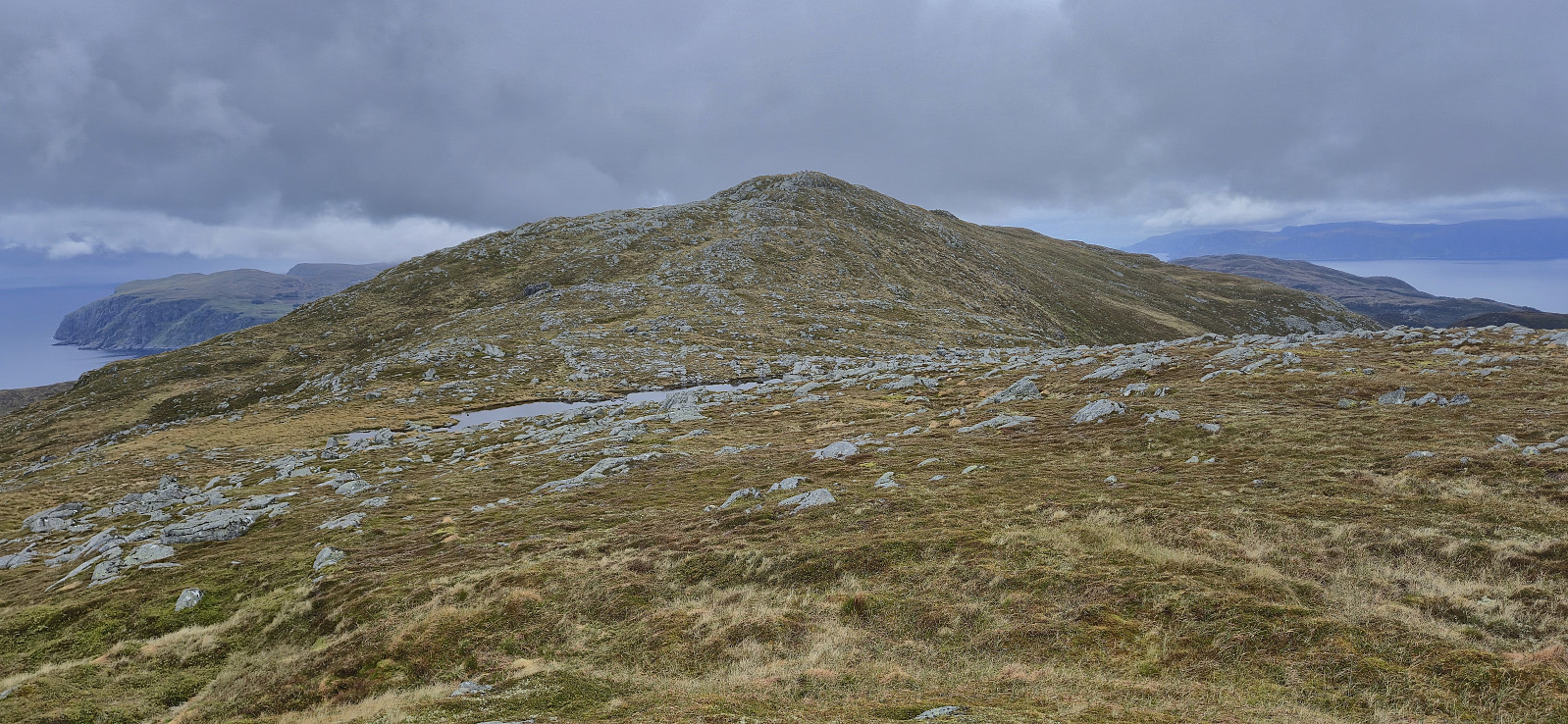
It was now time for the real hike of the day: ascending Veten på Vågsøy. First I followed the unusually named Gate 1 to Gate 6 (and to complete the set, Gate 7 would be used during the descent) to arrive at the marked trailhead at the end of Skramsvegen. From there it was simply a matter of following the winding trail all the way to the summit.
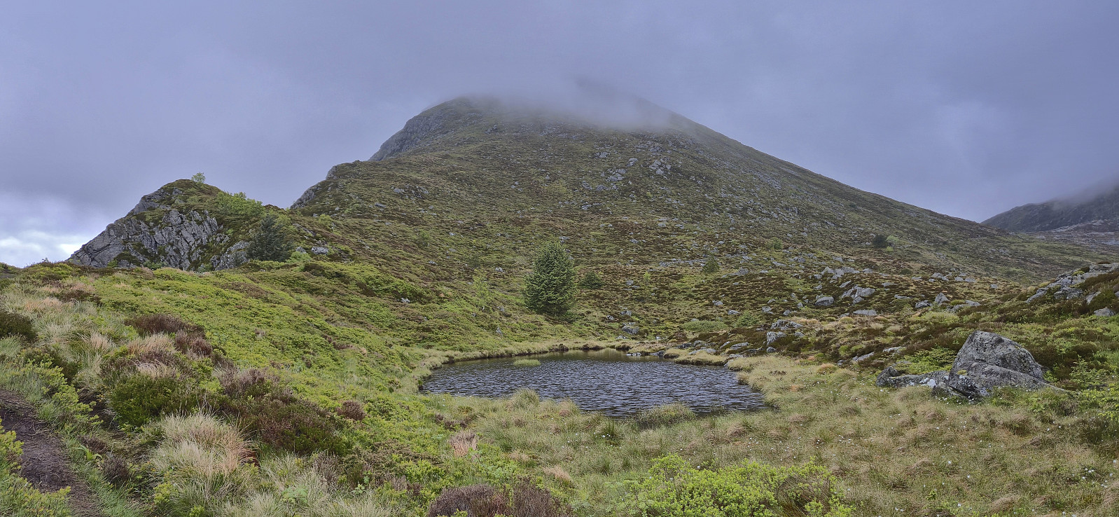
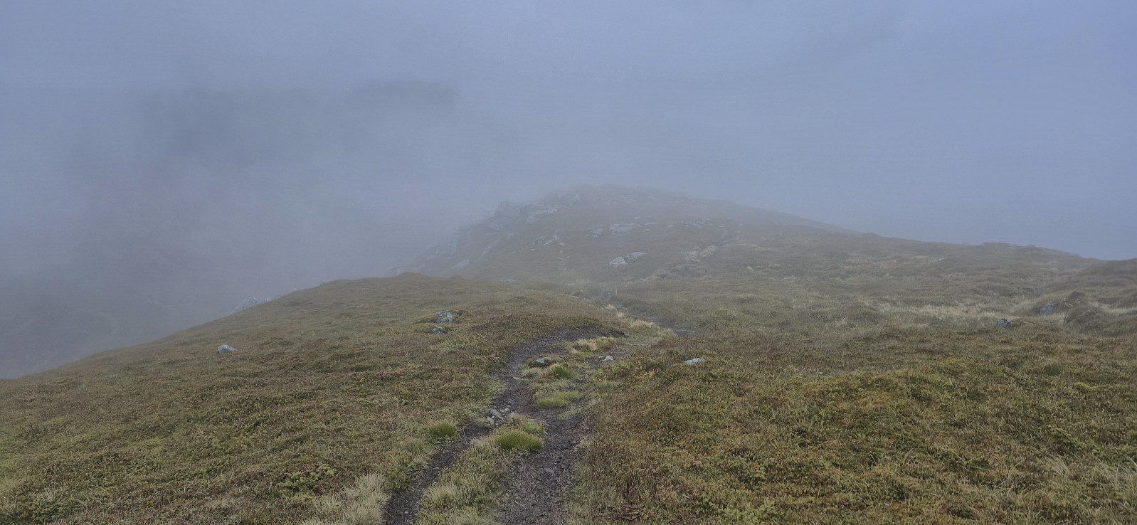
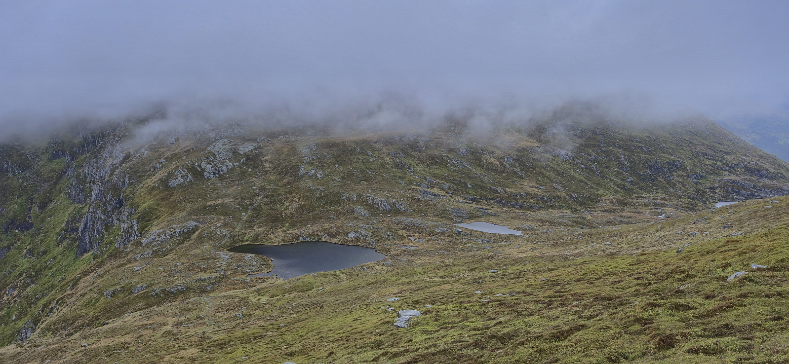
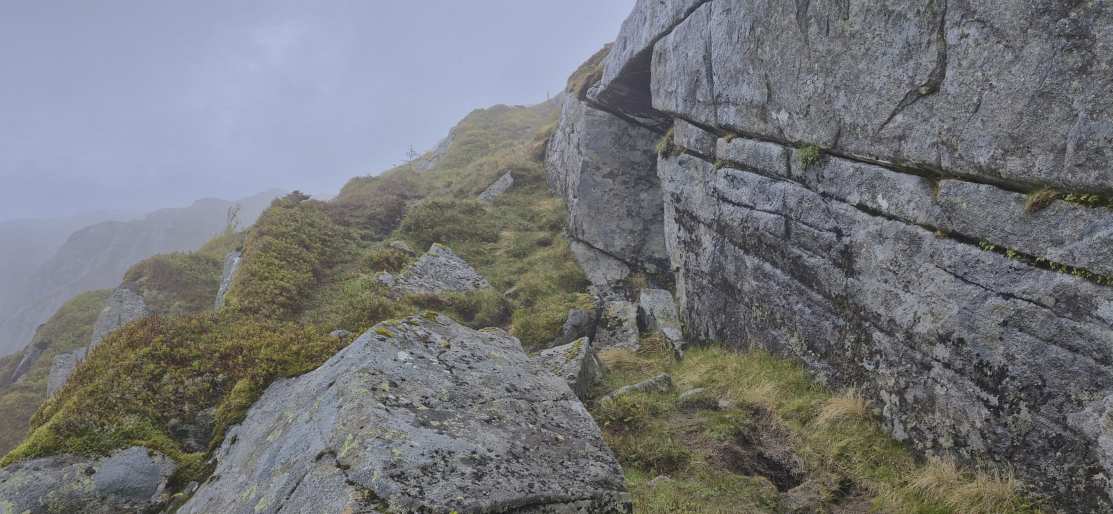
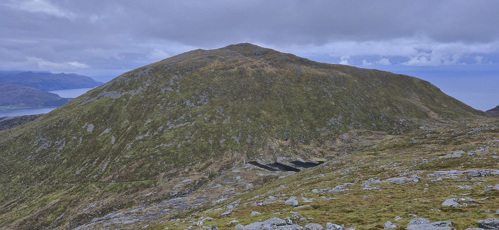
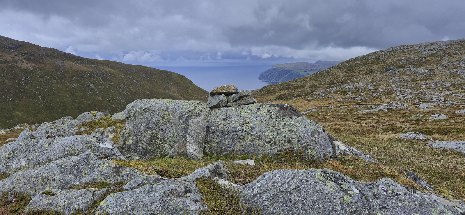
Sadly, the summit was completely hidden by the fog and thus I missed out on the great views I had been hoping for. I therefore quickly descended northeast along the ridge into the valley to the east to begin the ascent of Brurahornet Vesttoppen. Ascending to the summit of Brurahornet Vesttoppen was straightforward as there was a marked trail that I could follow all the way to the large cairn. But once more the views were completely hidden by the fog and I did not stay long before turning south towards Brurahornet.
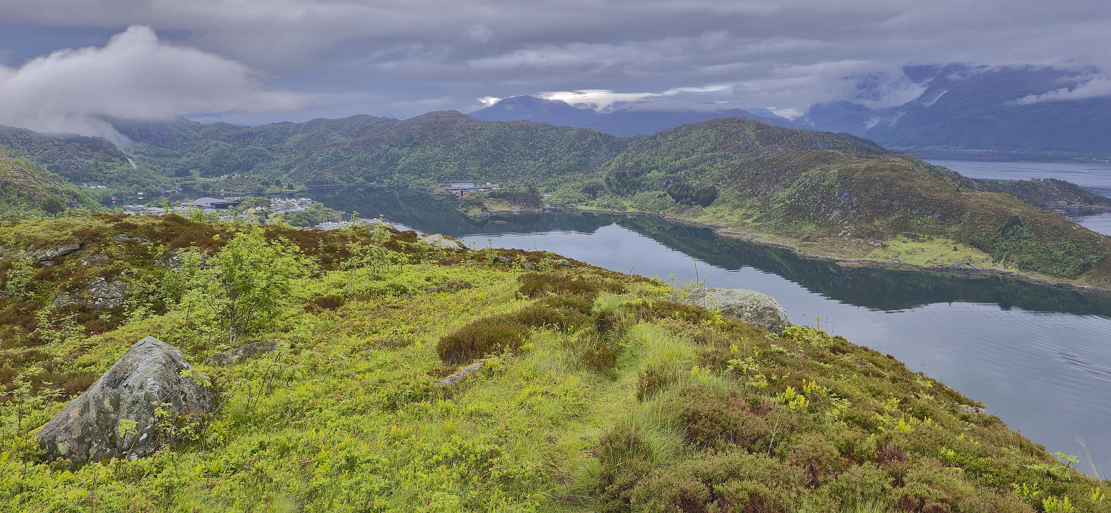
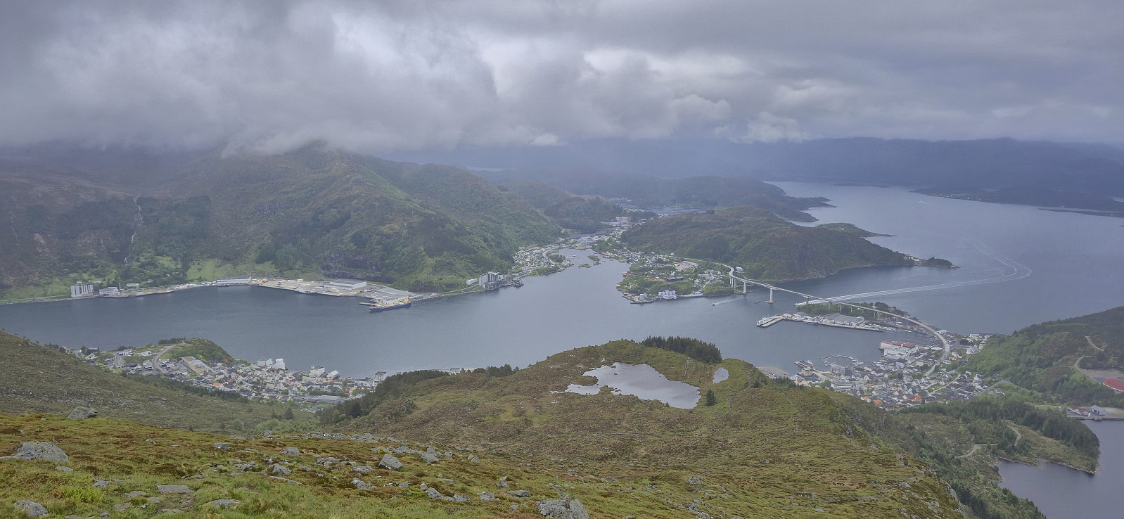
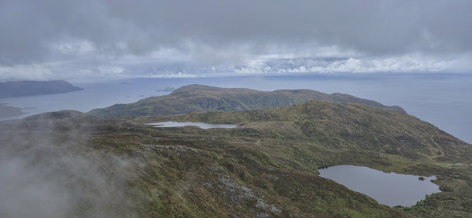
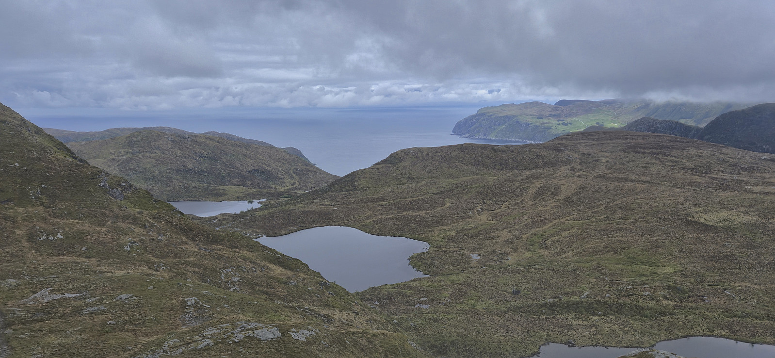
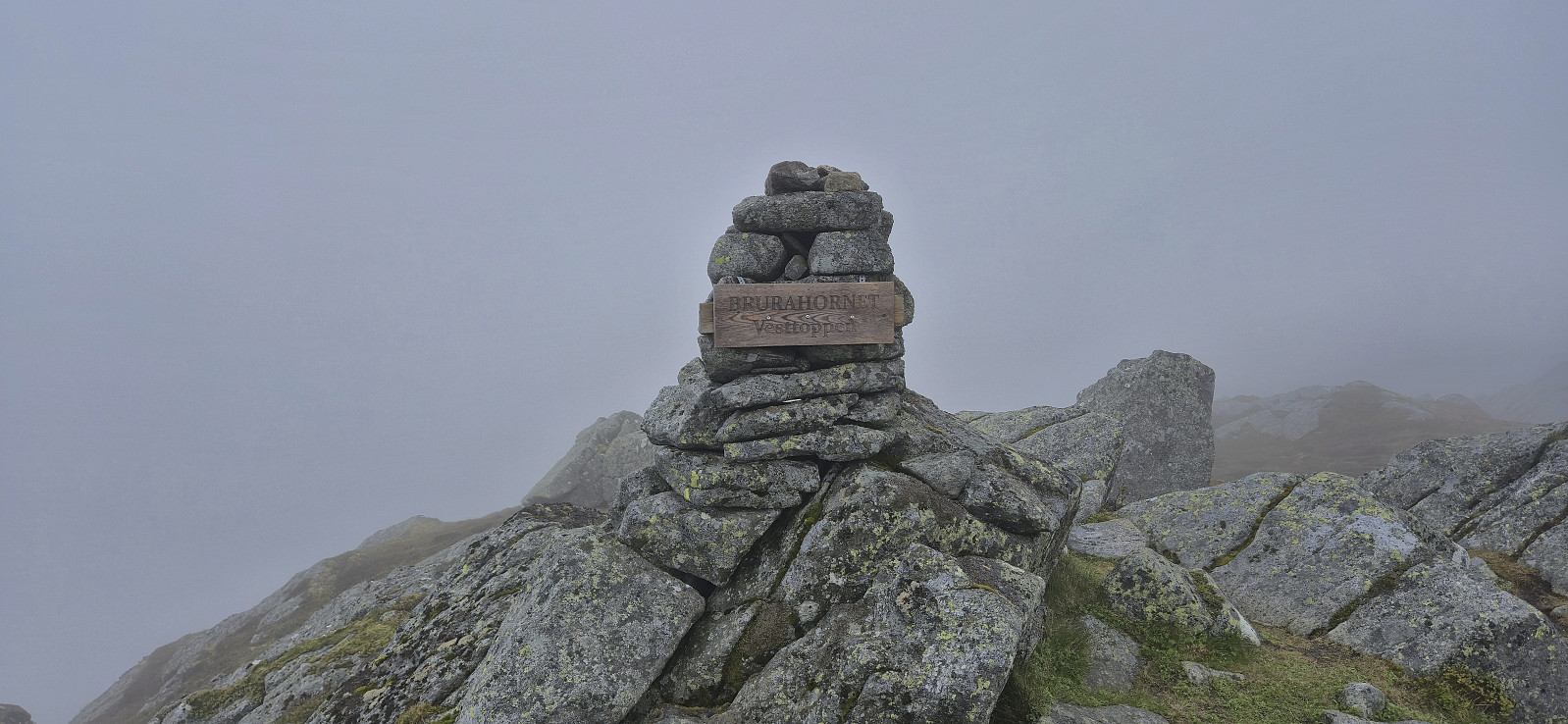
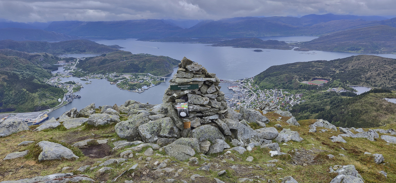
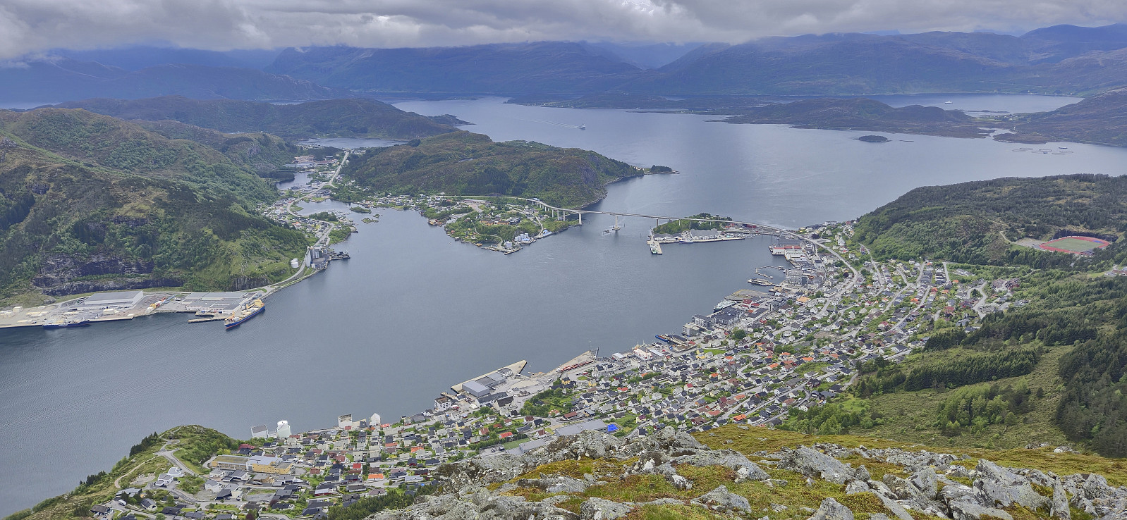
As I was approaching Brurahornet the fog cleared somewhat and I could at least get an idea of what I was missing. The views from the cairn at Brurahornet were therefore the best of the day, providing an excellent overview of Måløy. After a quick visit of the highest point at Brurahornet, of which there seems to be two of almost equal height, where the western, i.e. not where the PB-marker is currently placed, seemed slightly higher.
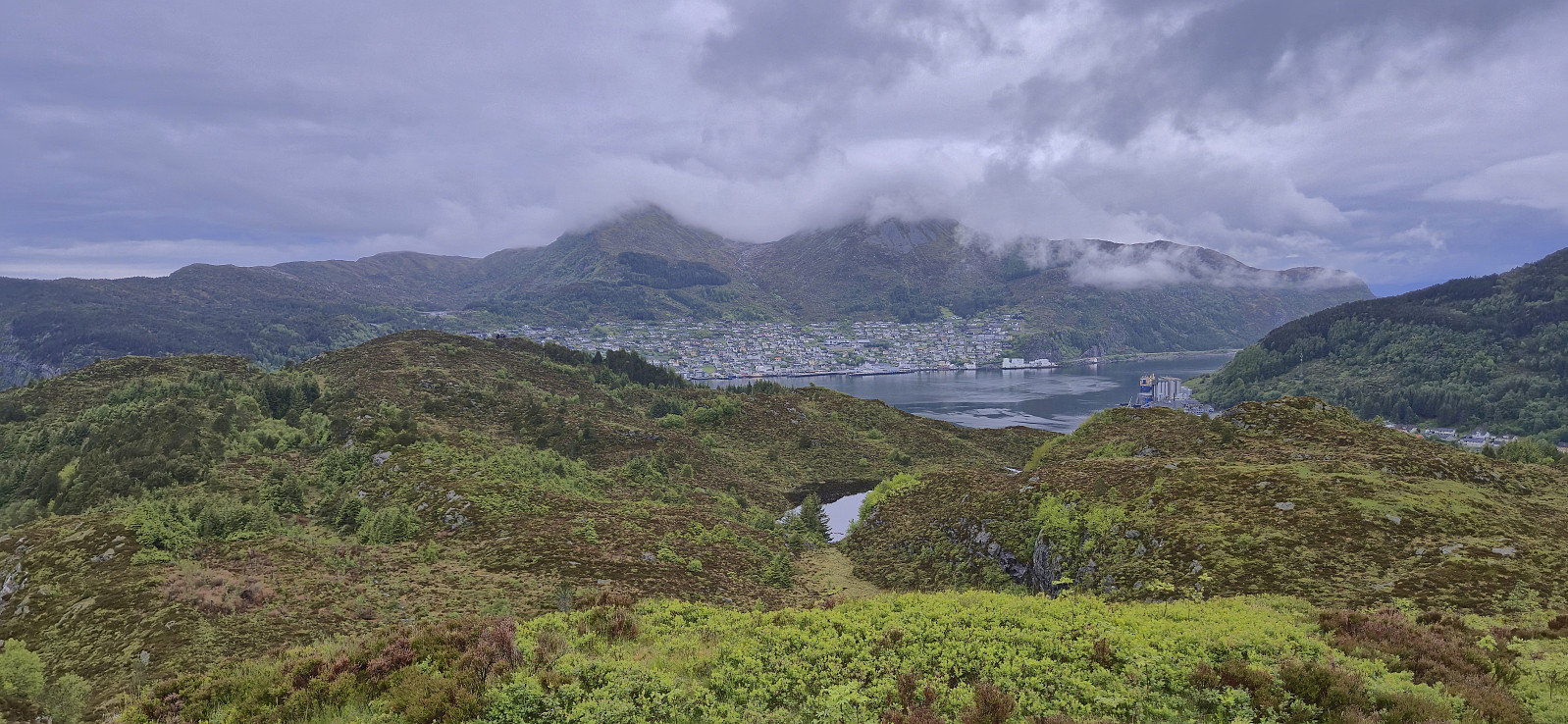
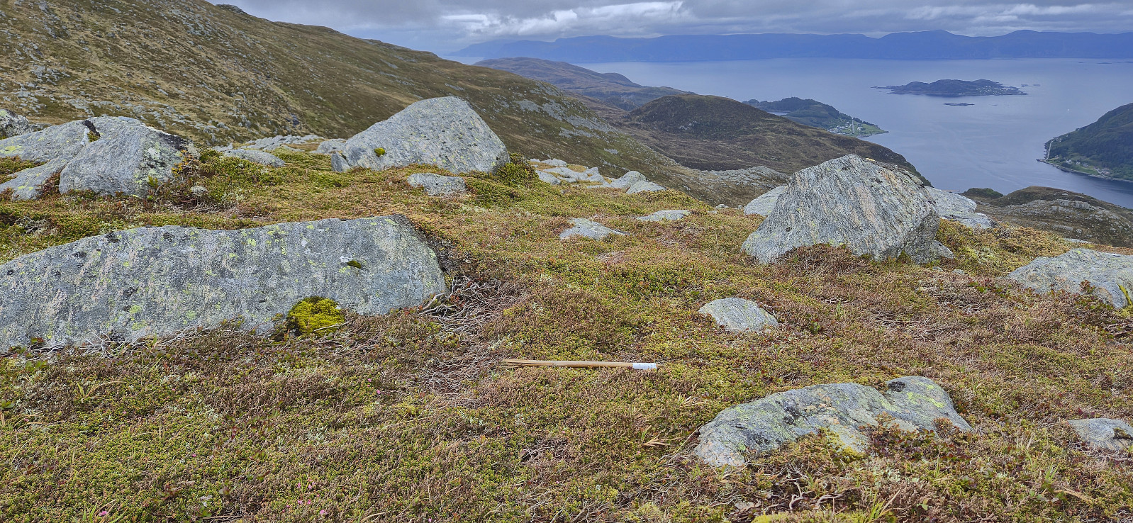
In order to make the hike into a roundtrip, I followed a very weak and poorly marked trail northeast into Gottebergsdalen. Here I thankfully connected with a much better trail, just as I was about to fight my way through a densely packed forest, and this trail easily led me the final way back to the end of Gate 7. All that remained was then the walk back to the pier where I arrived with almost two hours to spare before the highspeed passenger ferry turned up and I could complete the final stage in my long and elaborate return journey from Trondheim to Bergen.
In conclusion, my unusual journey from Trondheim to Bergen may not be for everyone, but it is doable and definitely packs a lot of experiences in a relatively short period of time!
| Start date | 30.05.2025 05:44 (UTC+01:00 DST) |
| End date | 30.05.2025 13:25 (UTC+01:00 DST) |
| Total Time | 7h 40min |
| Moving Time | 6h 20min |
| Stopped Time | 1h 20min |
| Overall Average | 2.4km/h |
| Moving Average | 2.9km/h |
| Distance | 18.7km |
| Vertical meters | 1,267m |

User comments