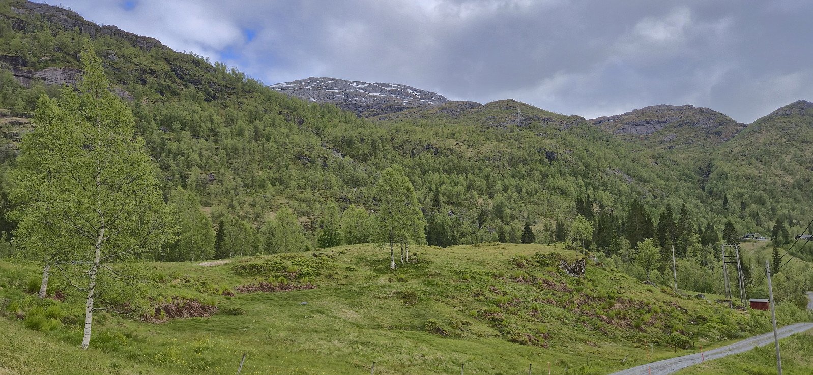
Blånipa from Krosstølen p-plass (24.05.2025)

| Startsted | Krosstølen p-plass (529moh) |
|---|---|
| Sluttsted | Krosstølen p-plass (529moh) |
| Turtype | Fjelltur |
| Turlengde | 3t 32min |
| Distanse | 10,2km |
| Høydemeter | 730m |
| GPS |
|
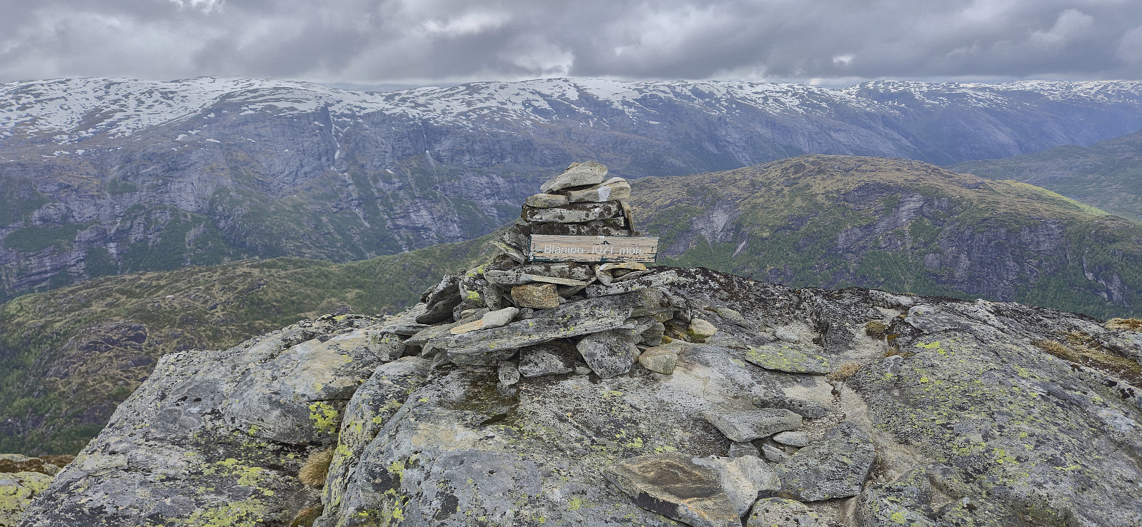
| Bestigninger | Blånipa (1072moh) | 24.05.2025 16:59 |
|---|---|---|
| Andre besøkte PBE'er | Krosstølen p-plass (529moh) | 24.05.2025 15:27 |
| Krosstølen bro (626moh) | 24.05.2025 15:38 | |
| Krosstølen (637moh) | 24.05.2025 15:39 | |
| Sørelva bro (598moh) | 24.05.2025 18:19 |
Blånipa from Krosstølen p-plass
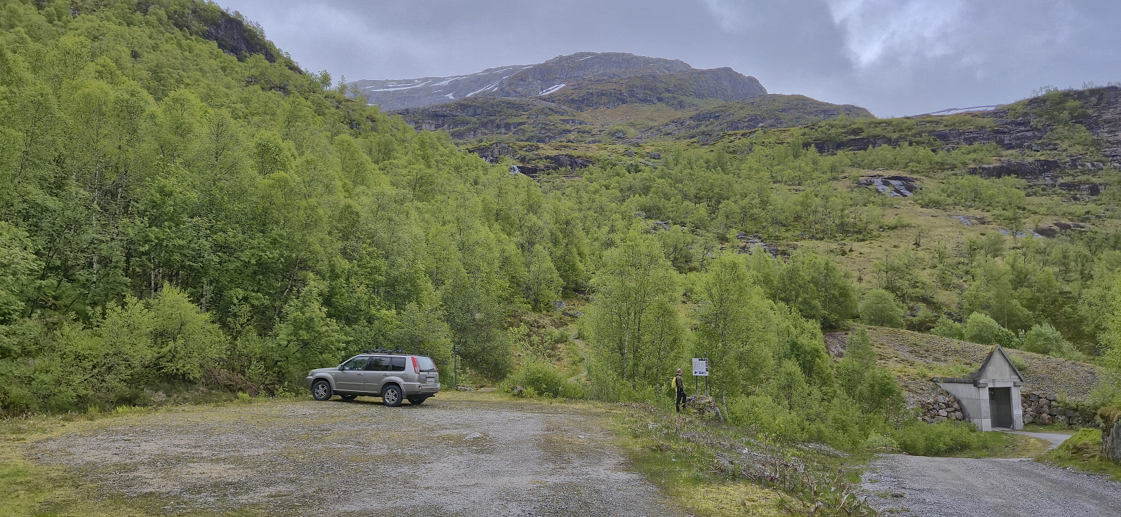
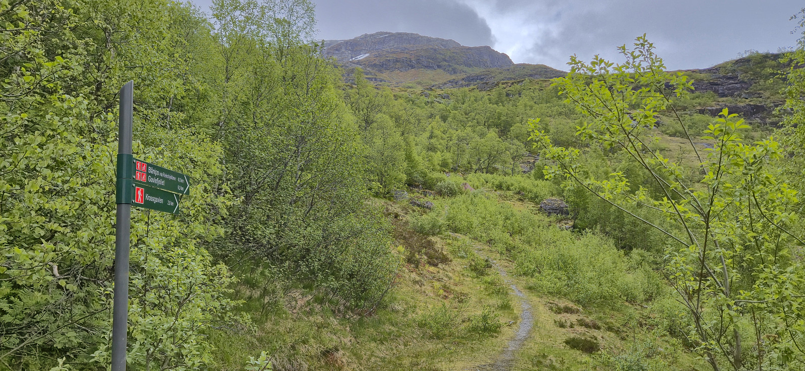
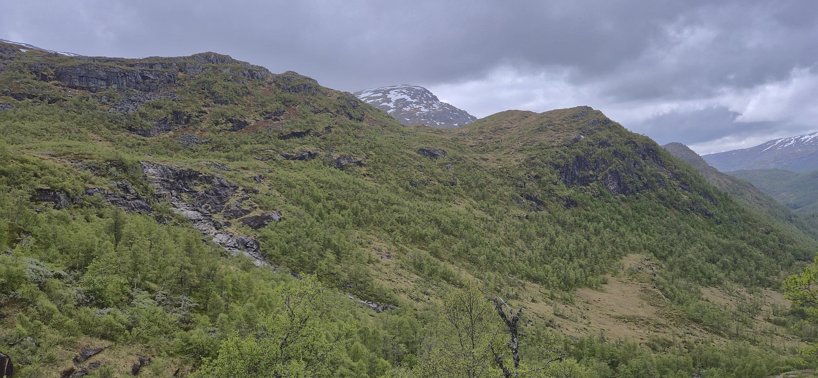
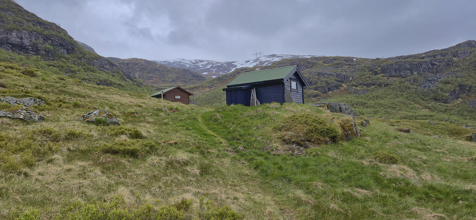
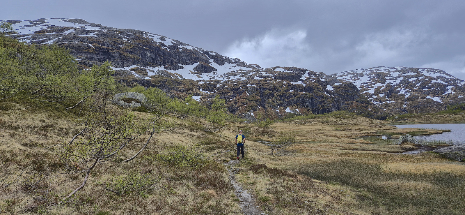
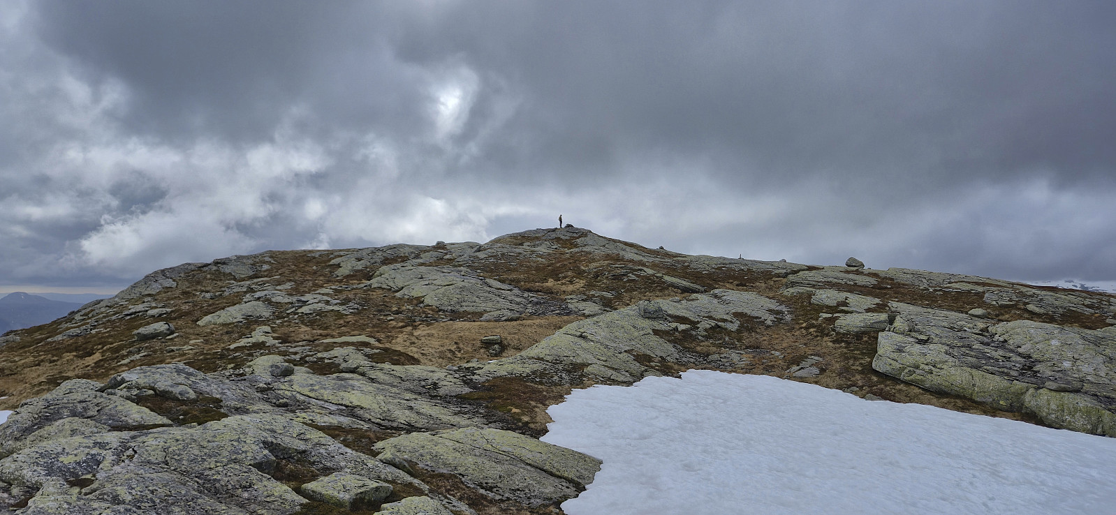
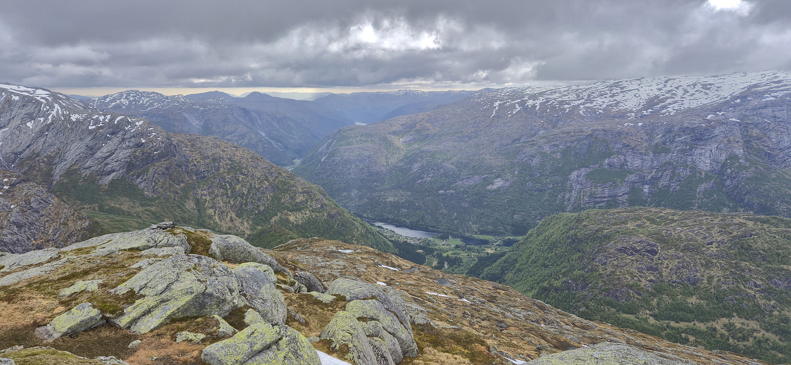
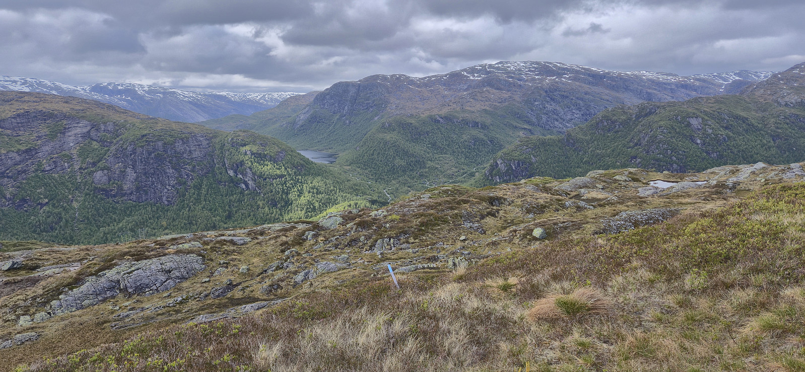
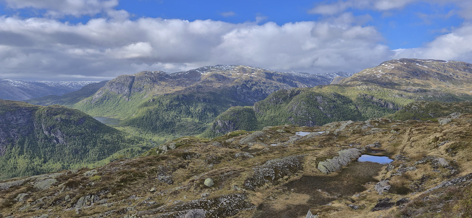
After ascending Sørskarfjellet, Endre and I drove north to Krosstølen p-plass and from there followed the marked trail to Blånipa. The markers were however not always the easiest to spot and we had to check with the GPS on multiple occasions to ensure that we were on the right track. As we got closer to the summit the route marked with blue paint also deviated quite a bit from the trail indicated on the map.
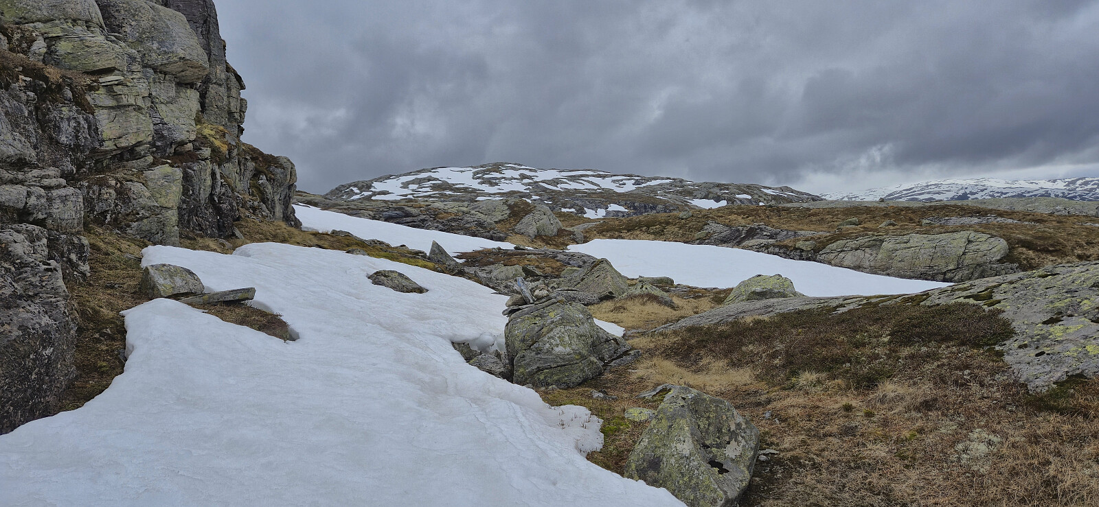
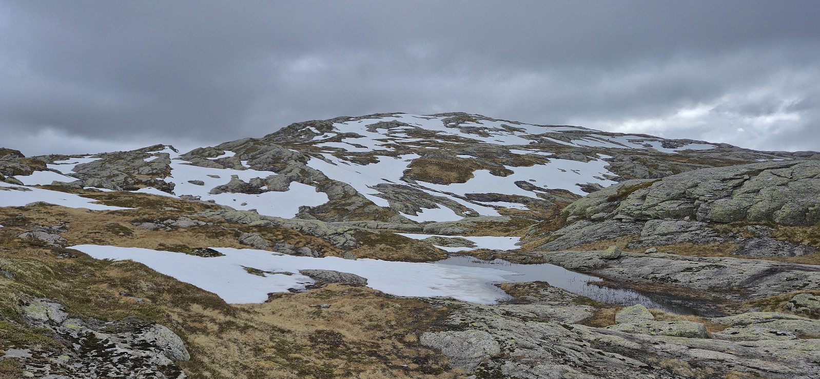
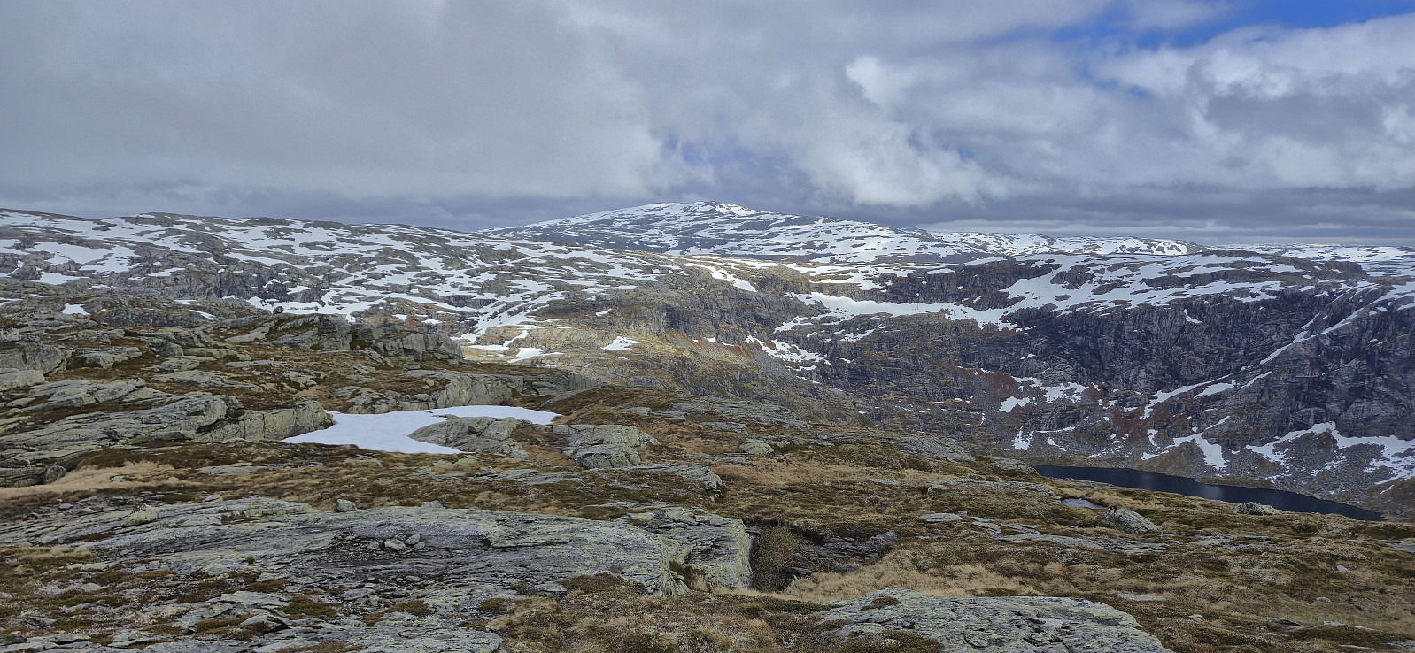
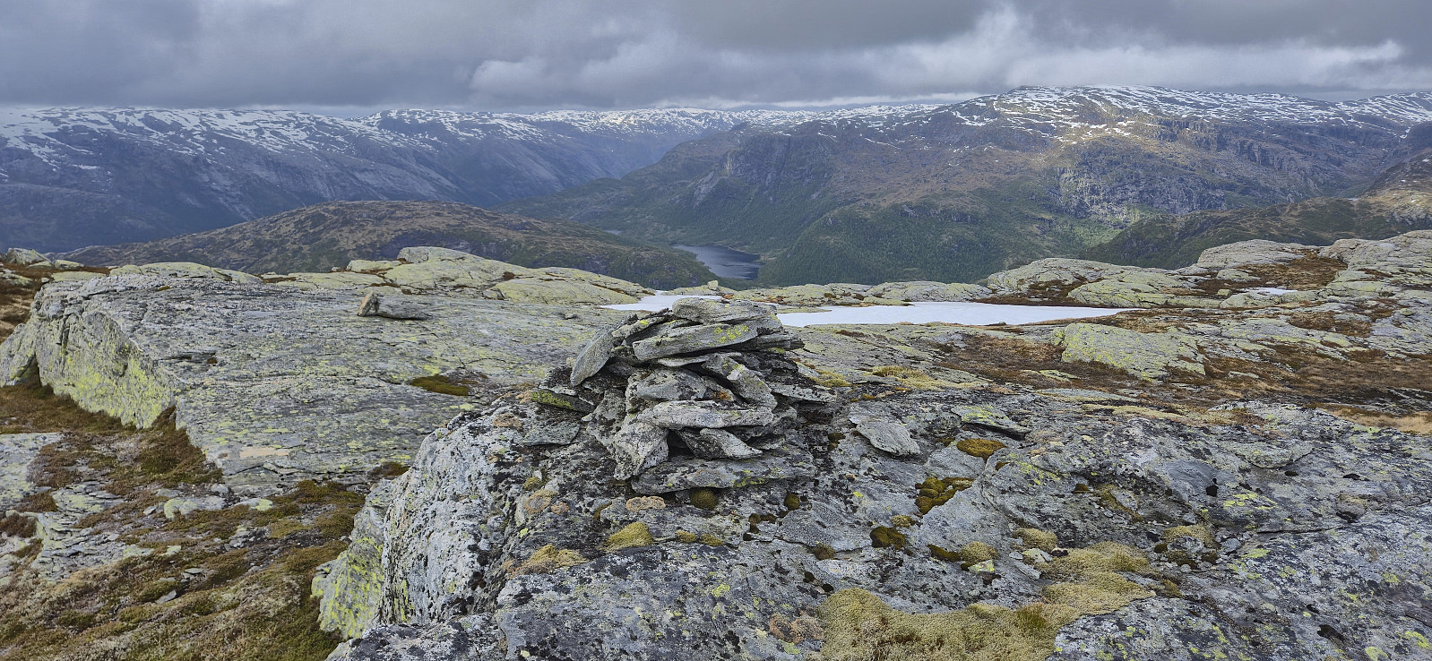
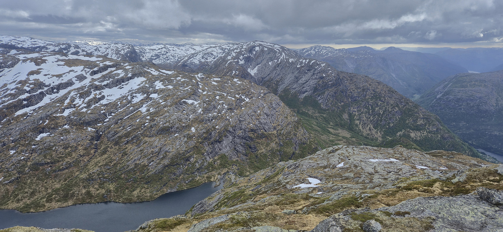
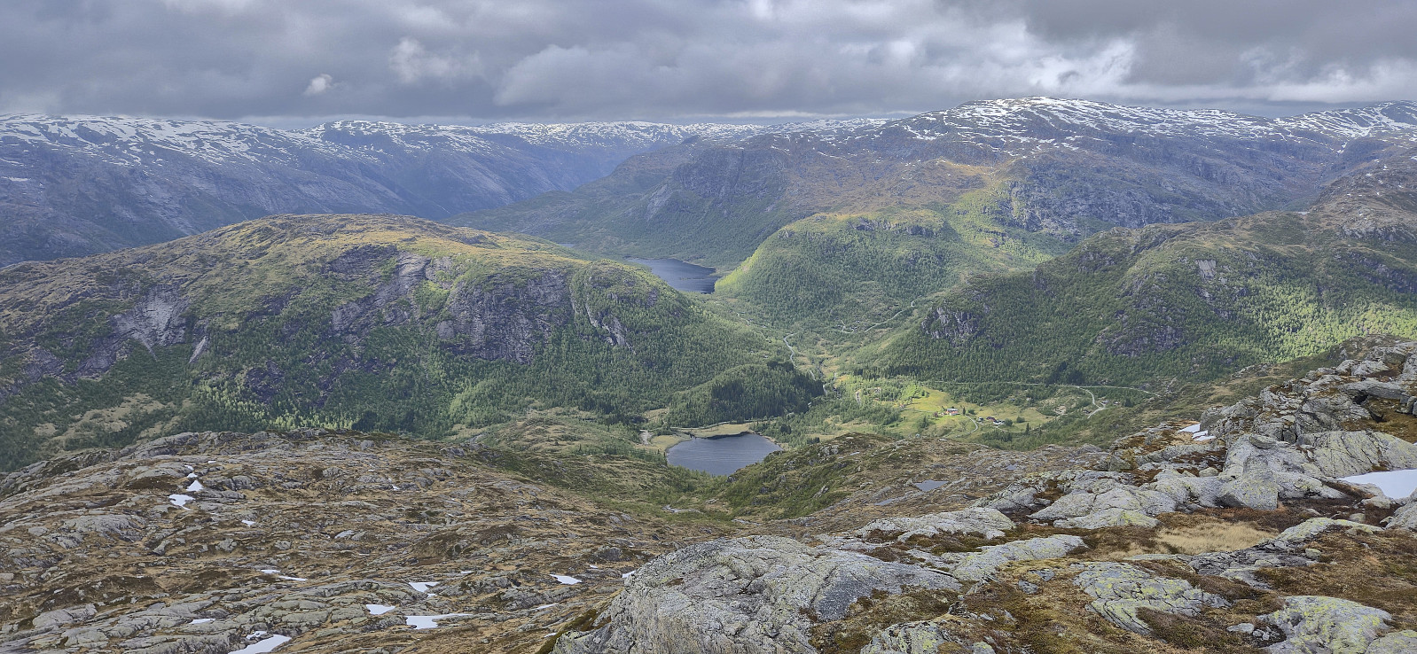
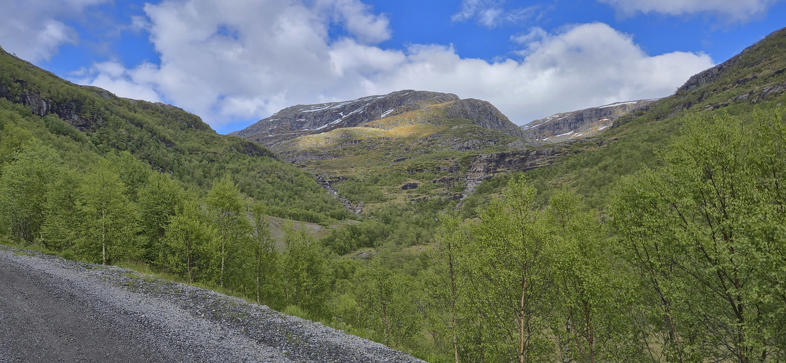
The summit was still reached without any real difficulties and we could enjoy the excellent views, even though we saw very little of the promised sunshine. In any case, the freezing wind made for a short stop and we did not stay long before descending along the alternative trail heading southwest and then north from the summit.
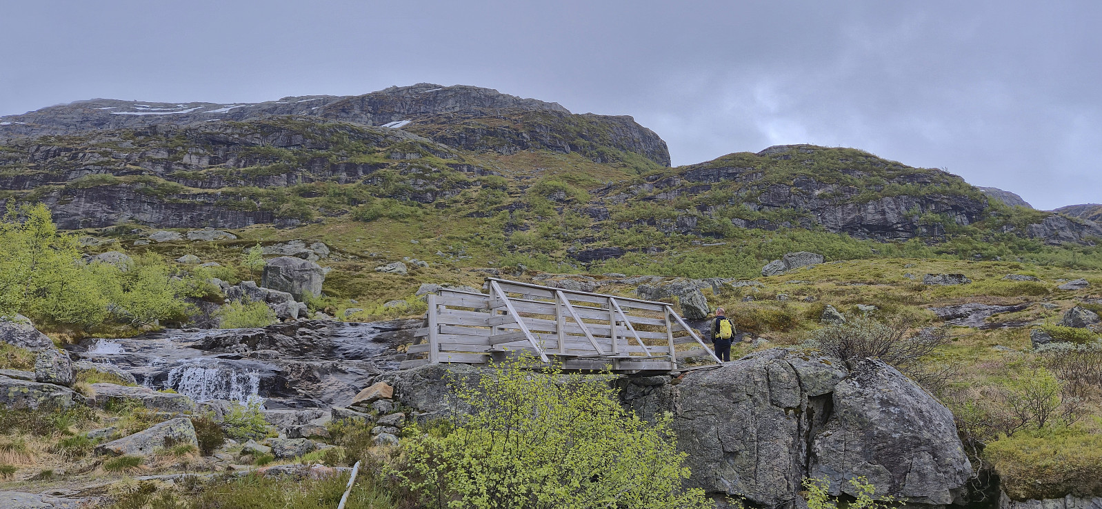
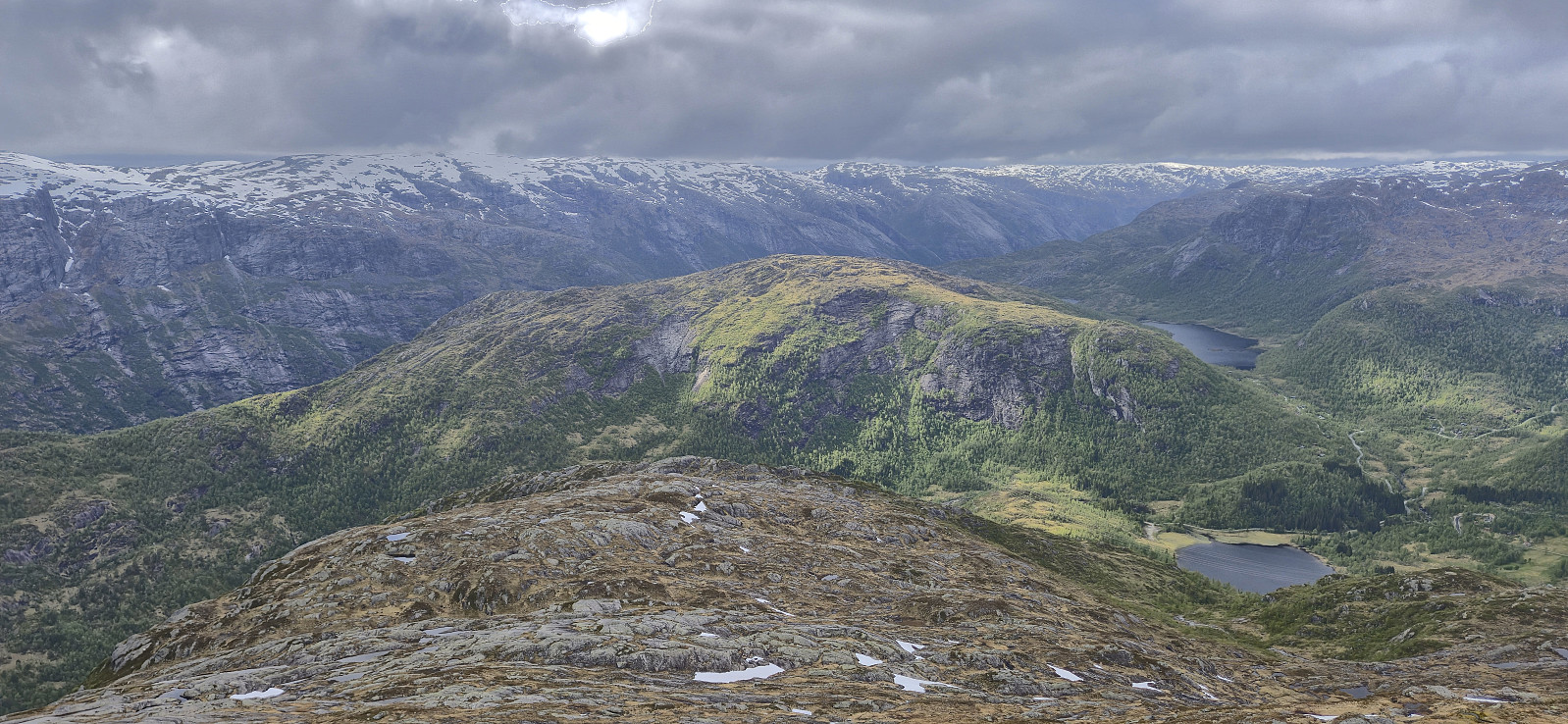
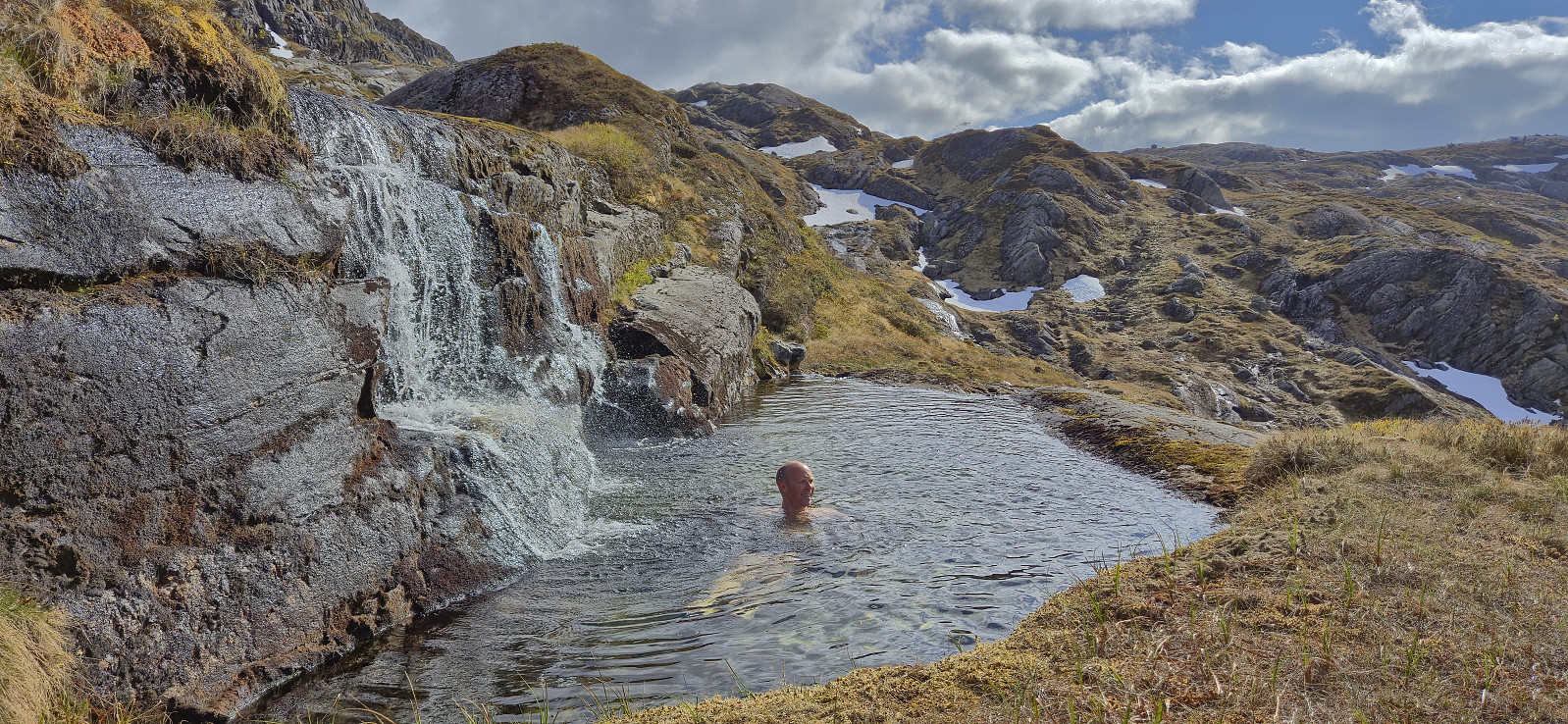
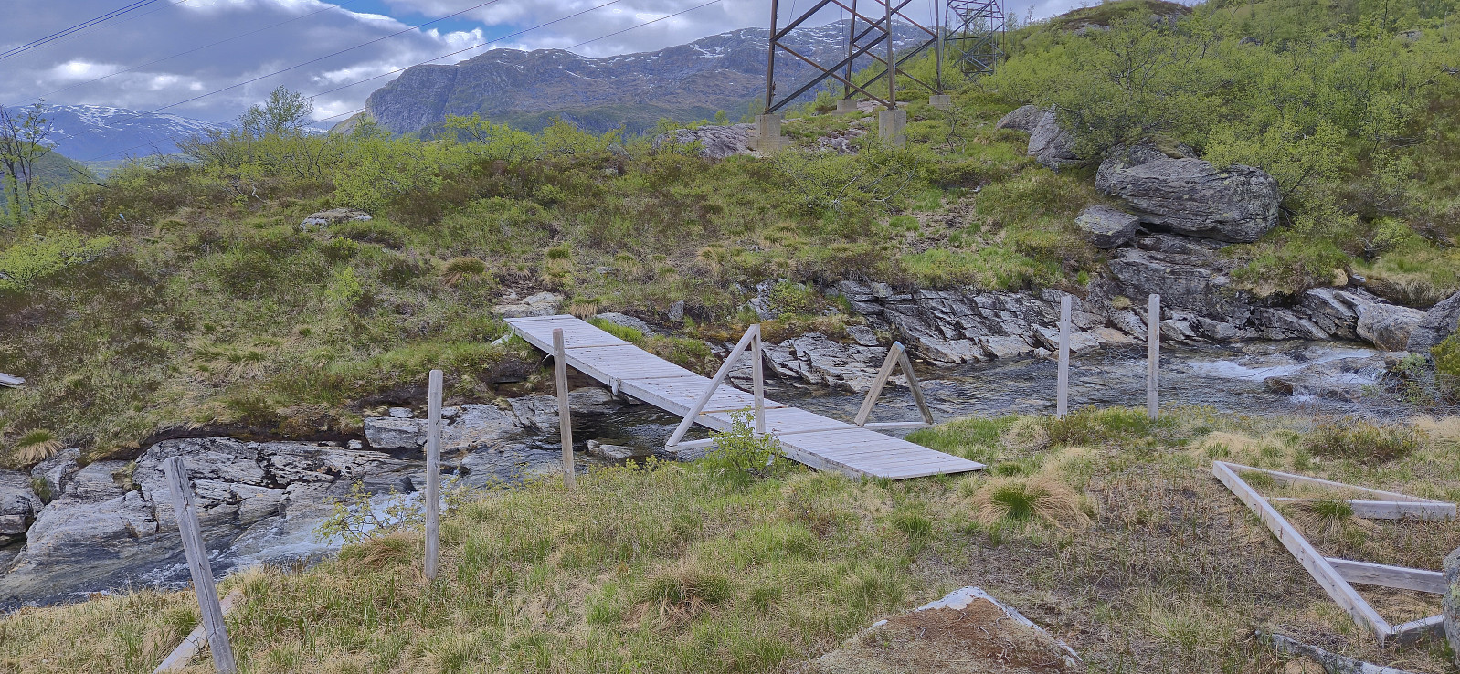
The marking of the descent trail was also rather inconsistent and without a GPS it would probably have been more difficult, especially given that there were a couple of steep areas. Around halfway down the sunshine finally appeared and Endre of course had to make the most of it by taking a dip in a small pond next to the trail. Upon later connecting with the gravel road at Liland, the hike was concluded by following the roads back to the car.
In summary, a nice roundtrip with excellent views. But perhaps it is easier to do the trip in the opposite direction in order to get the steeper sections during the ascent?
With this ascent I completed the Modalen ≥ 100m pf. list! Takk for turen, Endre!
| Starttidspunkt | 24.05.2025 15:27 (UTC+01:00 ST) |
| Sluttidspunkt | 24.05.2025 18:59 (UTC+01:00 ST) |
| Totaltid | 3t 32min |
| Bevegelsestid | 3t 02min |
| Pausetid | 0t 30min |
| Snittfart totalt | 2,9km/t |
| Snittfart bevegelsestid | 3,4km/t |
| Distanse | 10,2km |
| Høydemeter | 729m |

Kommentarer
Gratulerer
Skrevet av Kjell51 25.05.2025 20:01Gratulerer med fulført liste: Modalen ≥ 100m pf.
Re: Gratulerer
Skrevet av hbar 25.05.2025 21:16Takk skal du, Kjell!