Sørskarfjellet via Tveradalsstølen (24.05.2025)

| Startsted | Tveradalsstølen p-plass (503moh) |
|---|---|
| Sluttsted | Tveradalsstølen p-plass (503moh) |
| Turtype | Fjelltur |
| Turlengde | 2t 41min |
| Distanse | 7,0km |
| Høydemeter | 625m |
| GPS |
|
| Bestigninger | Sørskarfjellet (1100moh) | 24.05.2025 13:39 |
|---|---|---|
| Andre besøkte PBE'er | Tveradalsstølen p-plass (503moh) | 24.05.2025 12:09 |
| Tveradalsstølen (568moh) | 24.05.2025 12:23 |
Sørskarfjellet via Tveradalsstølen
On the way home from our Friday evening hike to Noltane, Endre and I noticed that the weather forecast for the following day now suddenly looked much better. We therefore decided to have a go at the final two peaks I had left in Modalen. When Endre picked me up the morning after the weather had however changed again and during our drive to Modalen it was rather gray and we even had the occasional light rain shower.
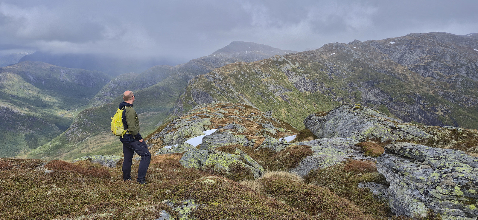
The forecast said that the weather was going to improve later in the afternoon though, so in order to postpone the start of our real hike, we made a short stop in Romarheim on the way such that Endre could ascend Almeskila. I had already visited Almeskila back in 2019 and therefore waited in the car until Endre returned around 45 minutes later and we then continued the drive to Modalen.
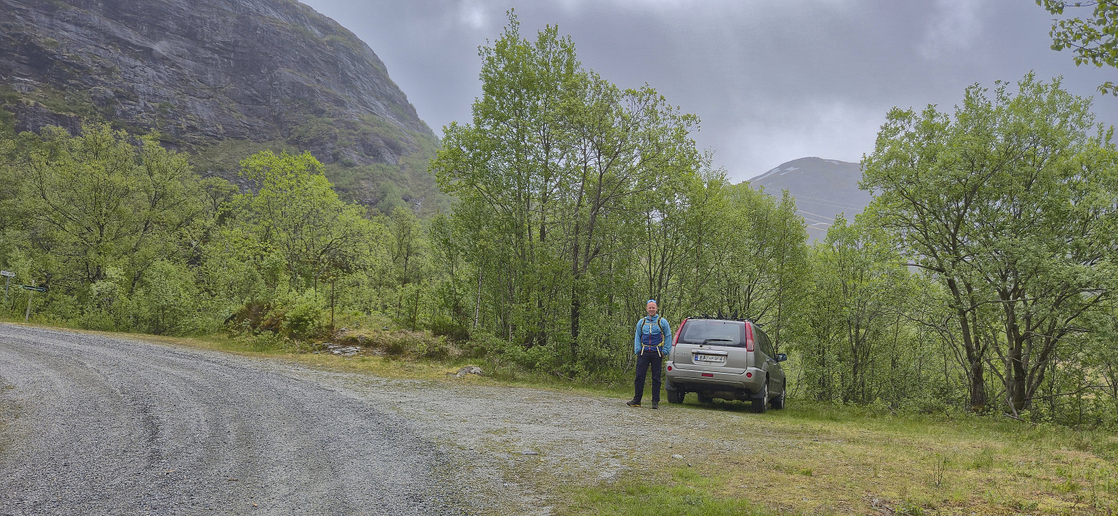
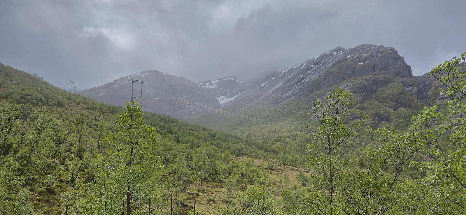
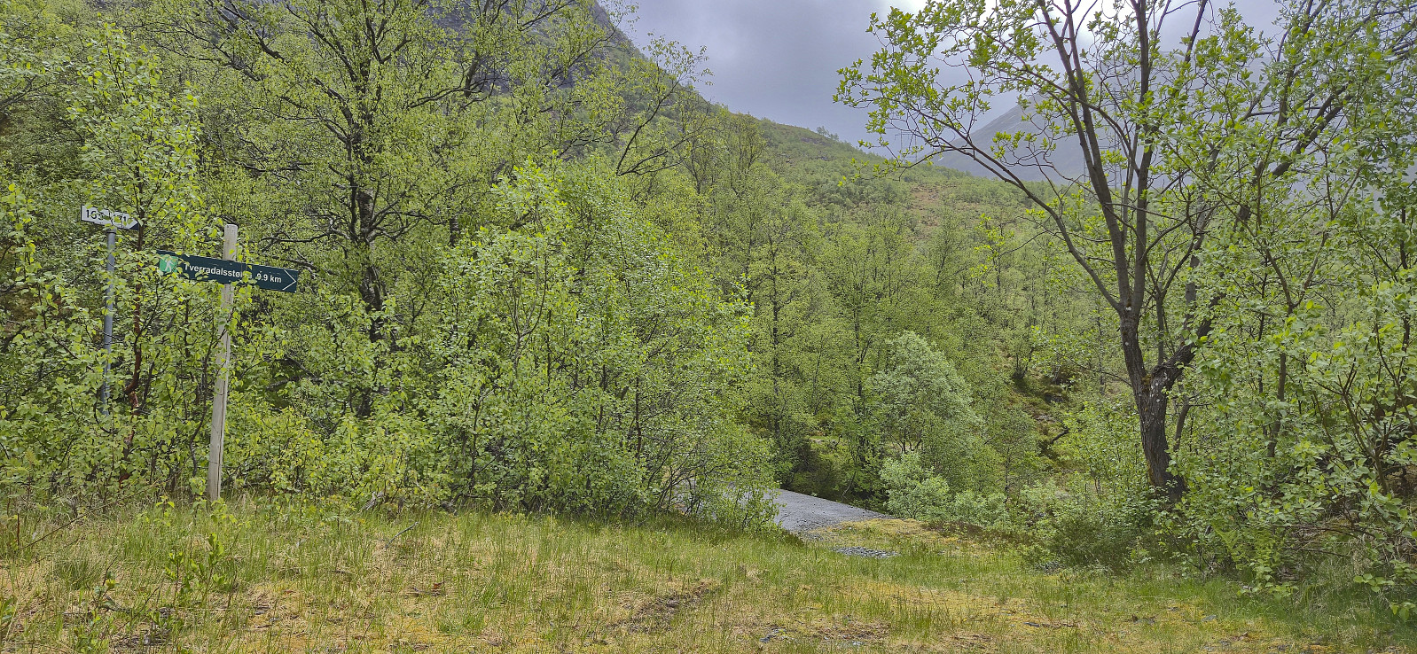
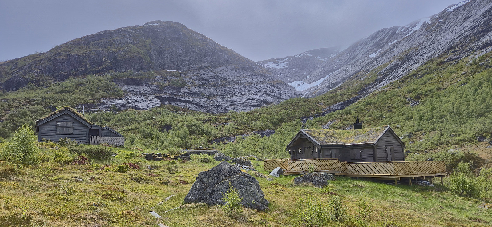
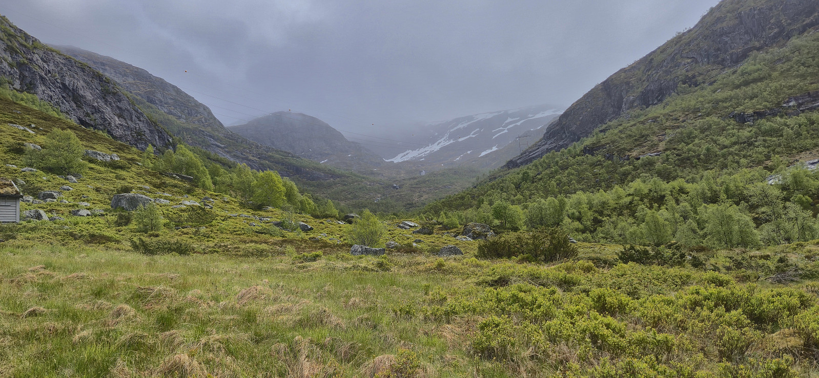
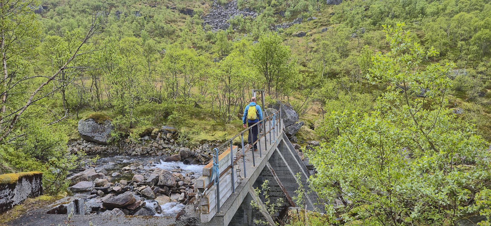
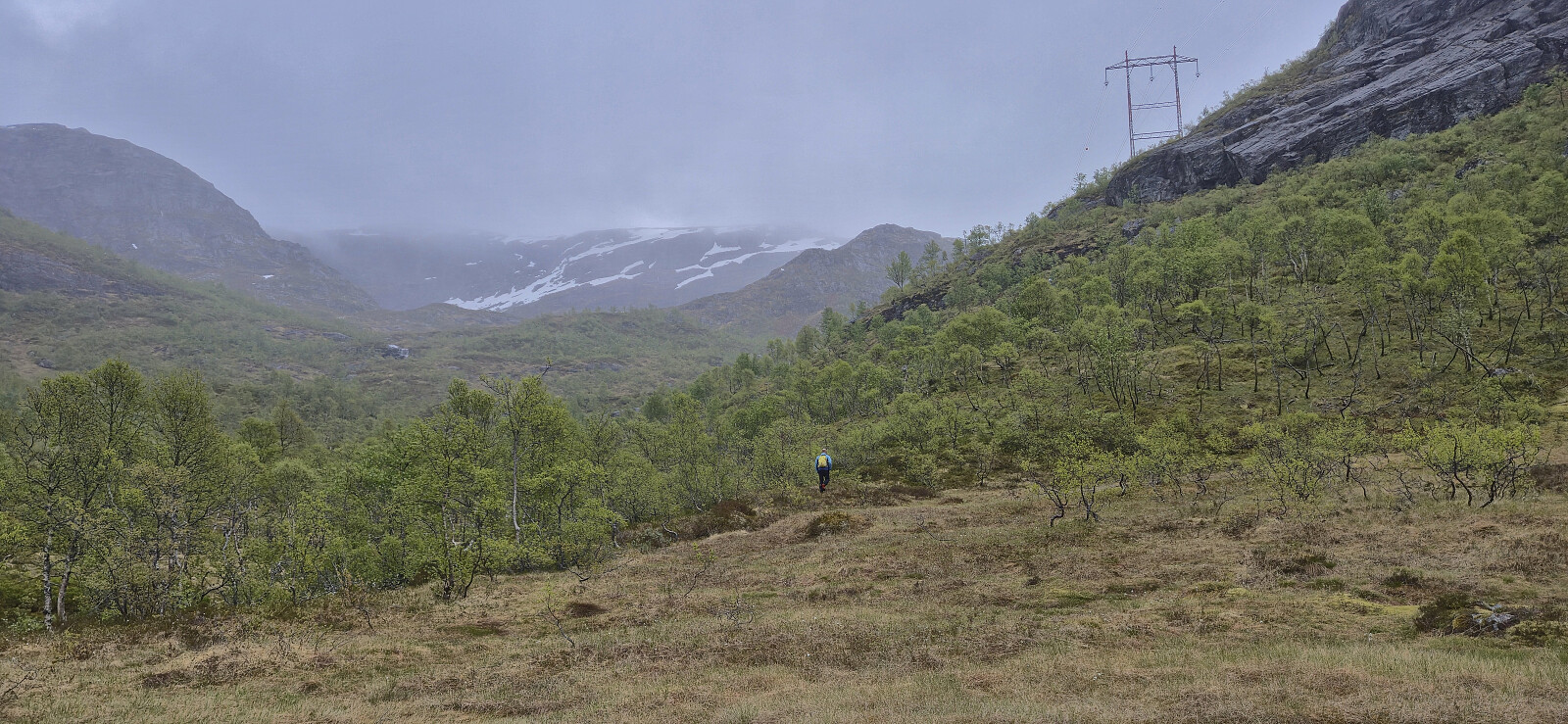
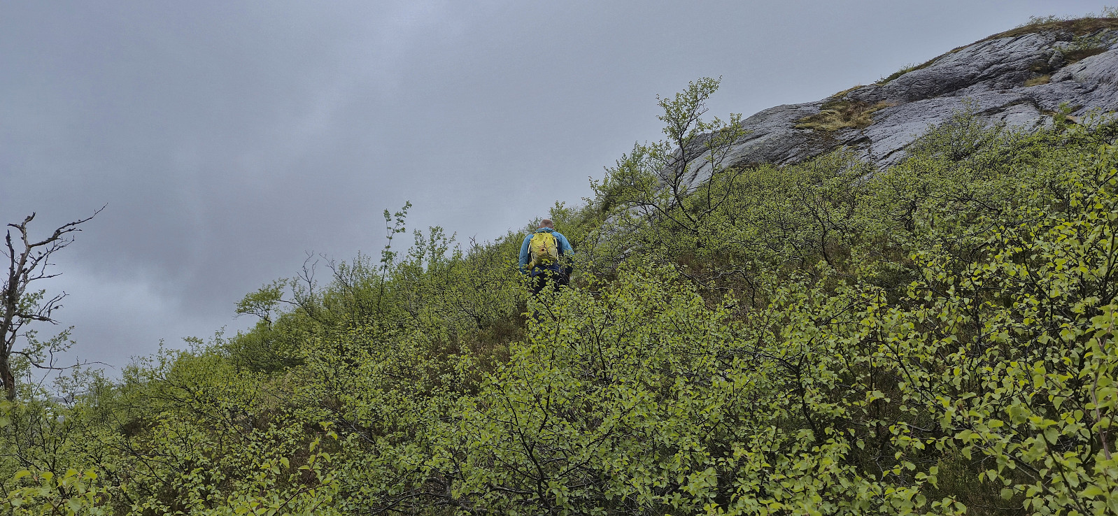
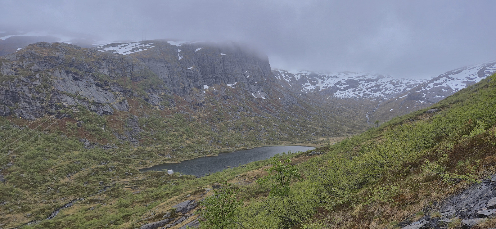
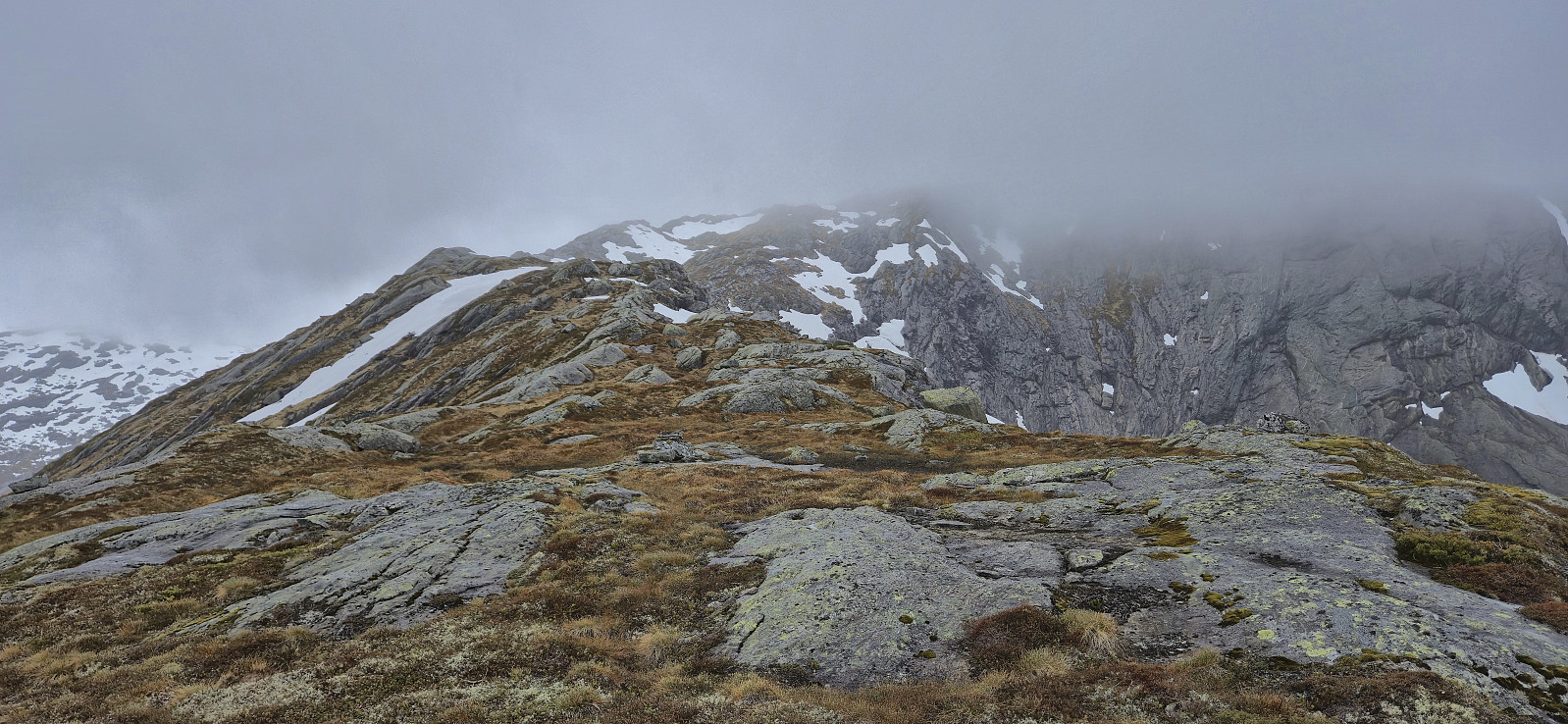
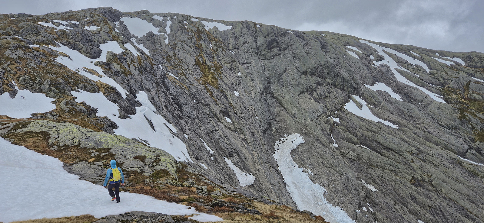
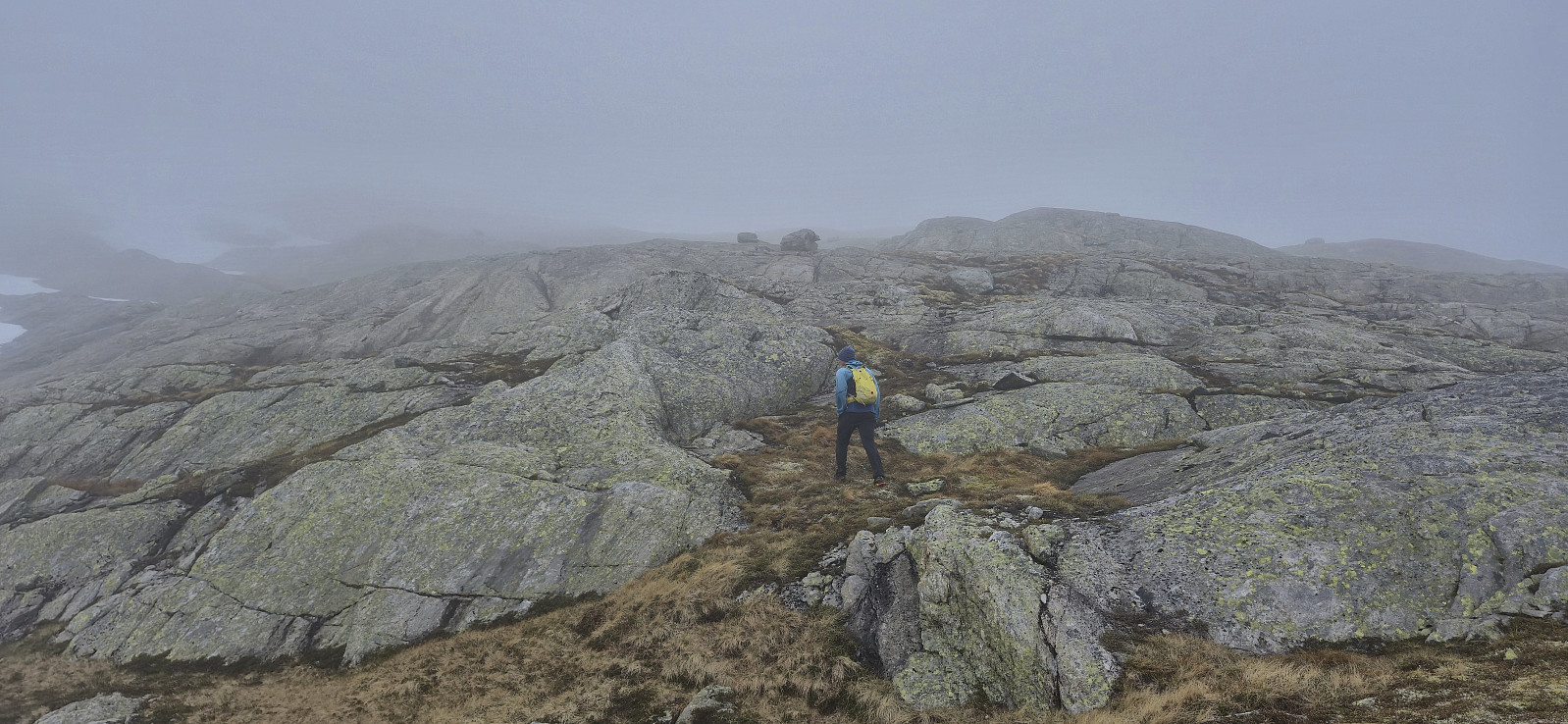
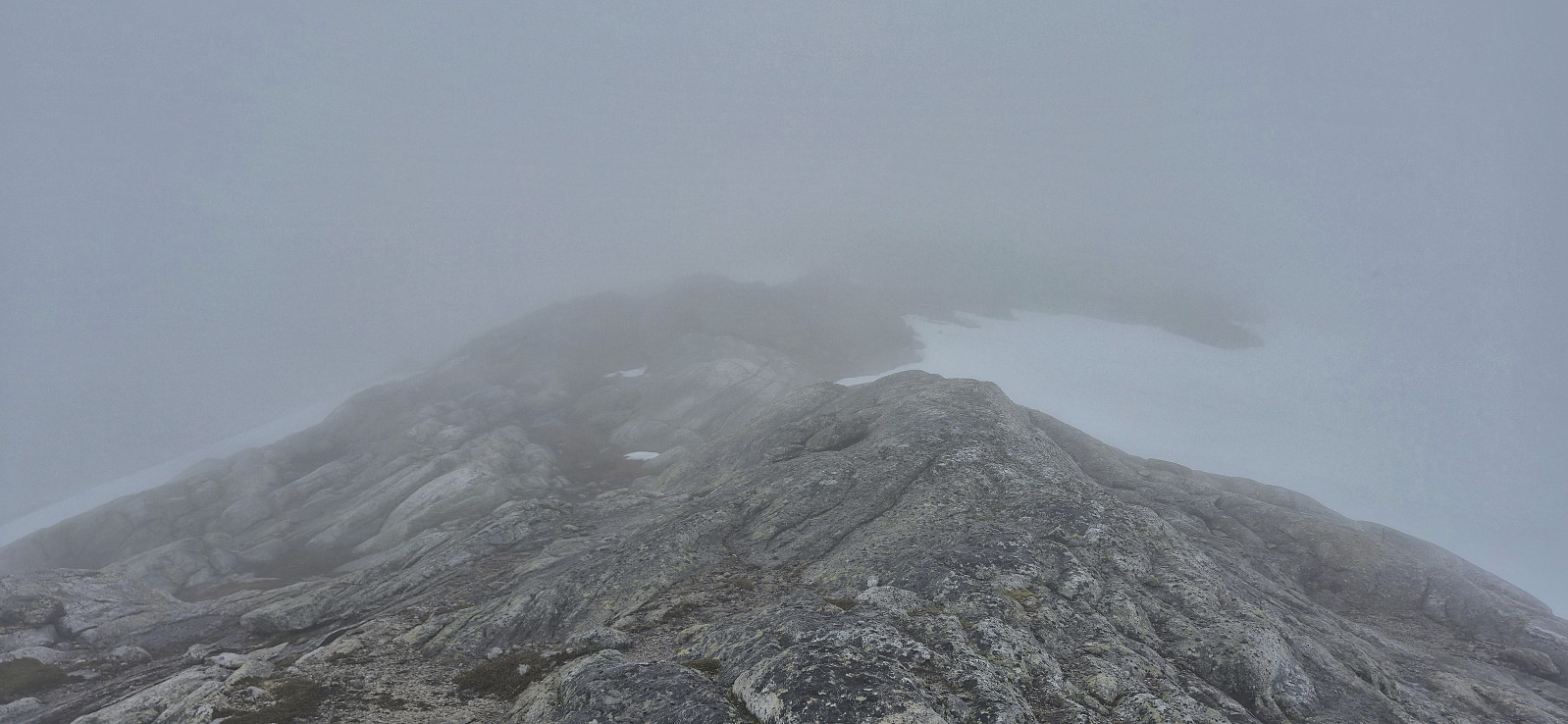
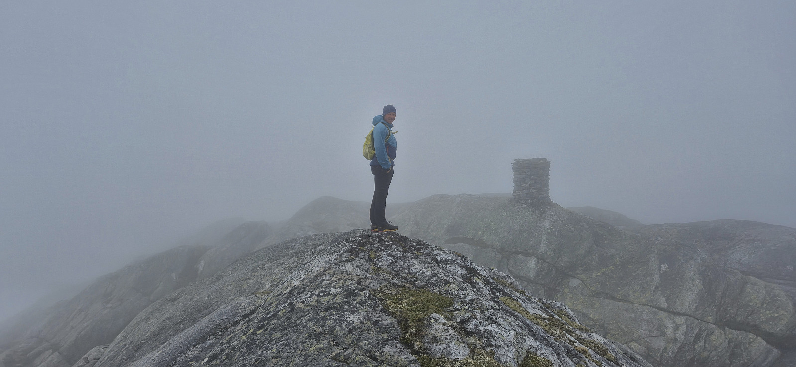
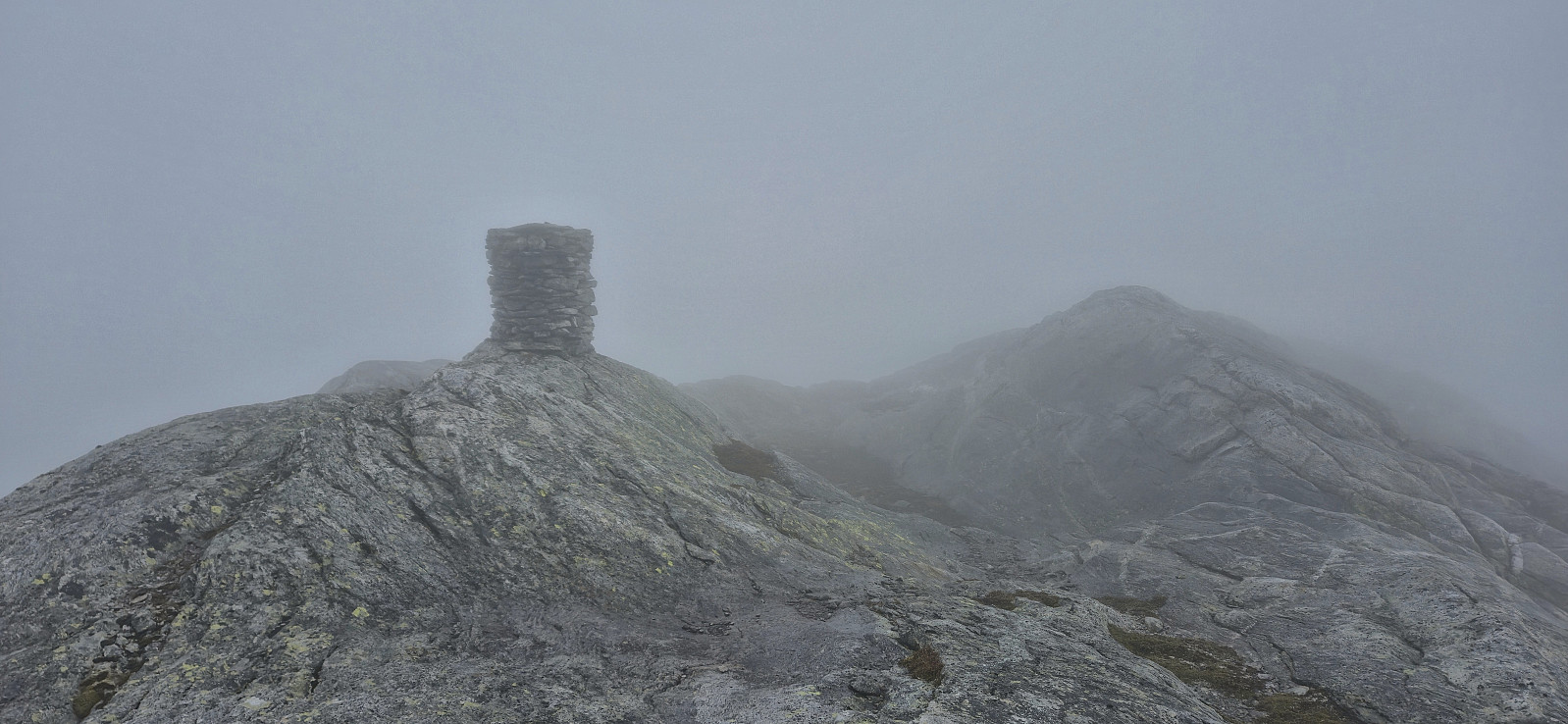
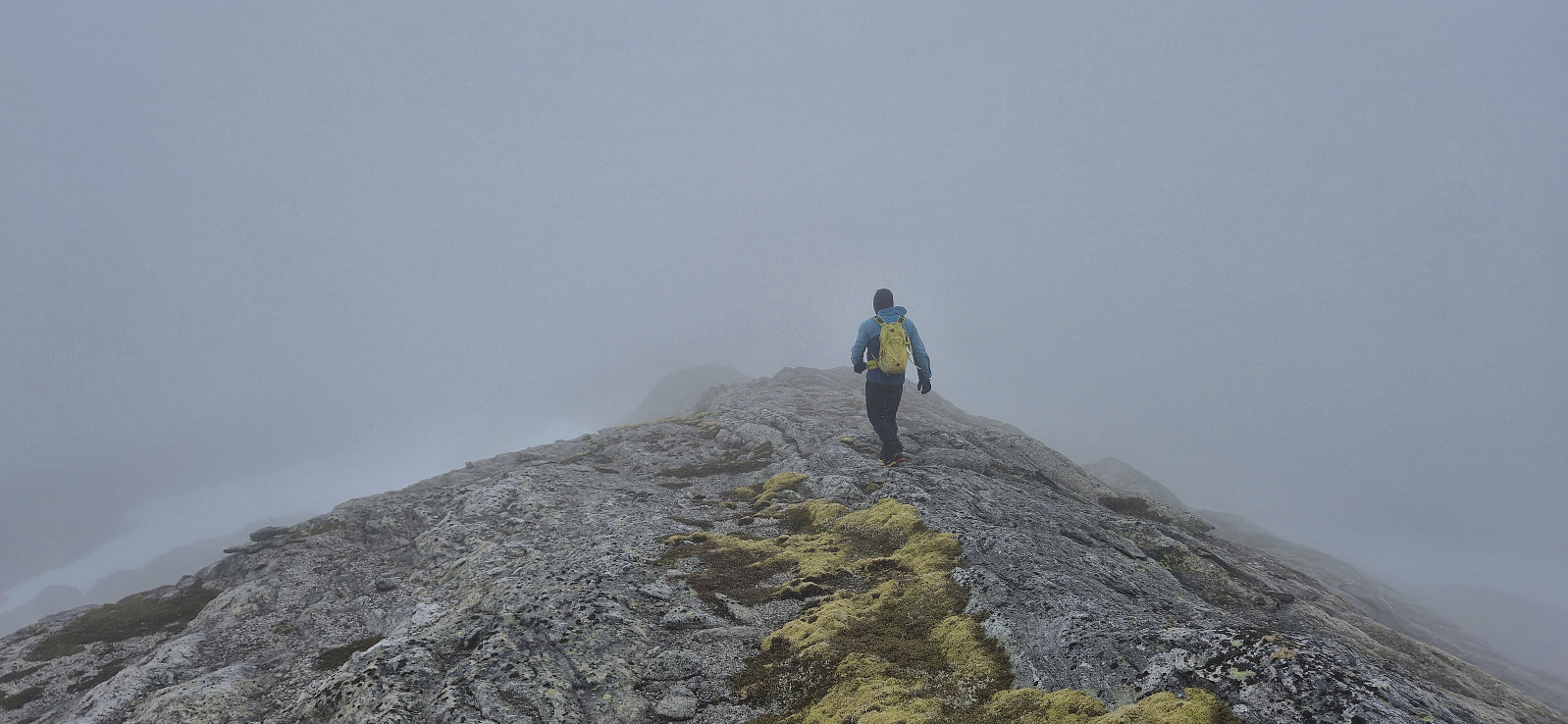
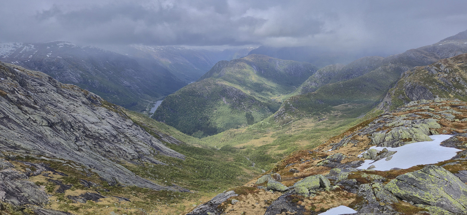
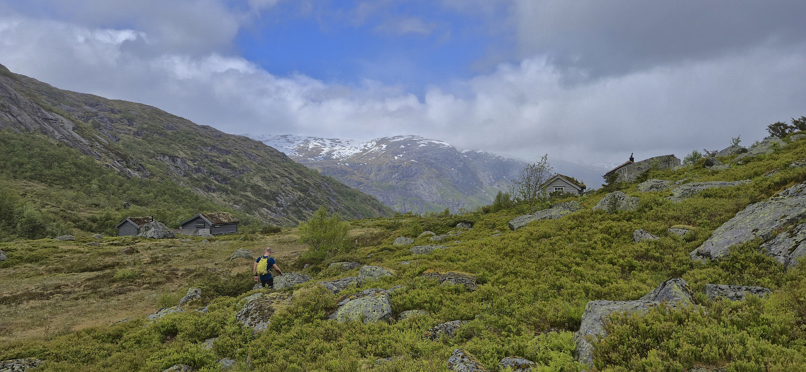
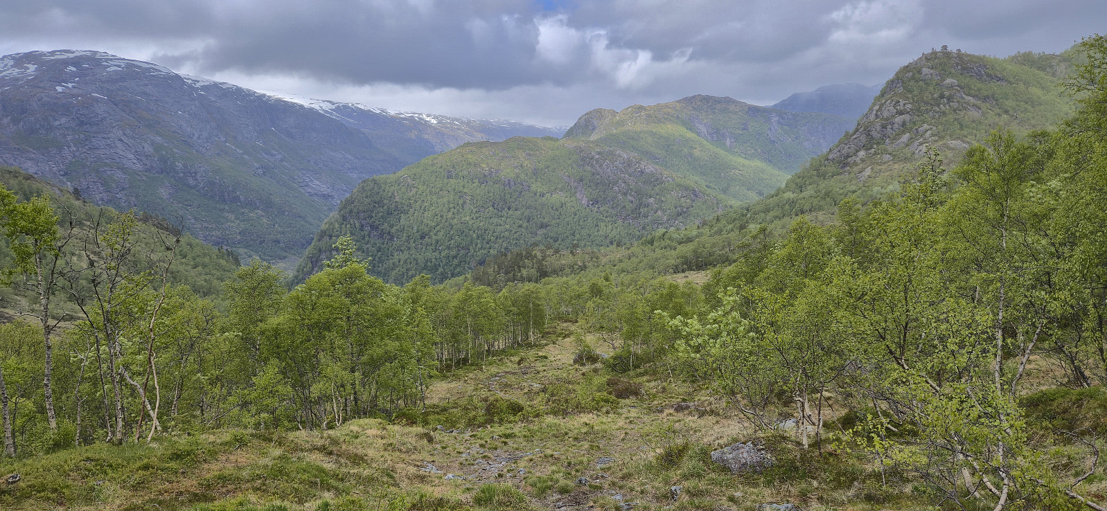
Upon arriving at the small parking lot north of Sørskarfjellet the weather was not much better though and the summit was completely hidden in fog. Thankfully, we were both prepared and after putting on extra clothing we started on the trail to Tveradalsstølen. Shortly long after Tveradalsstølen we left the trail, crossed the river via a dam/bridge, and made our way towards the ridge that would take us all the way to the summit.
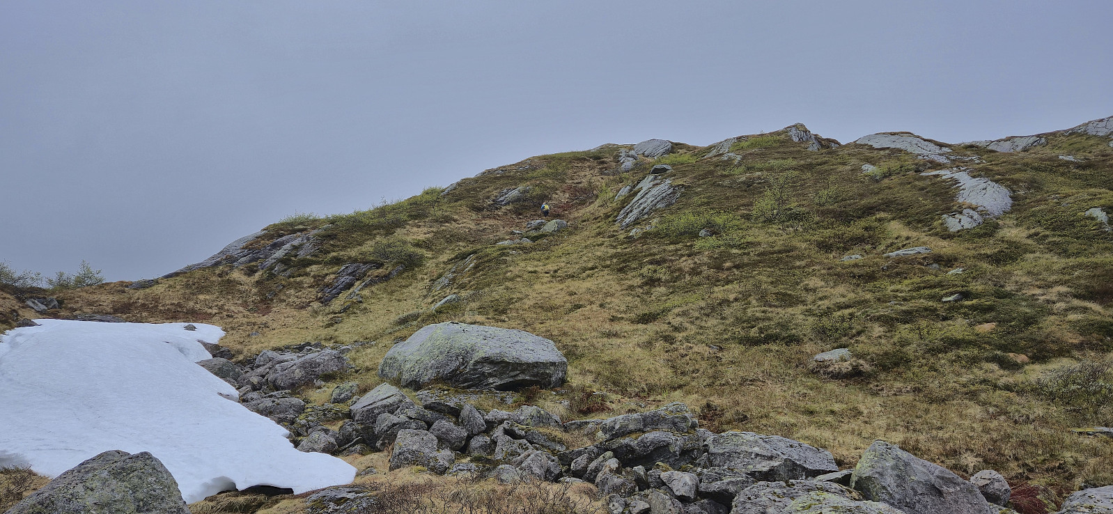
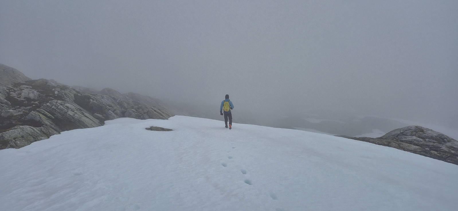
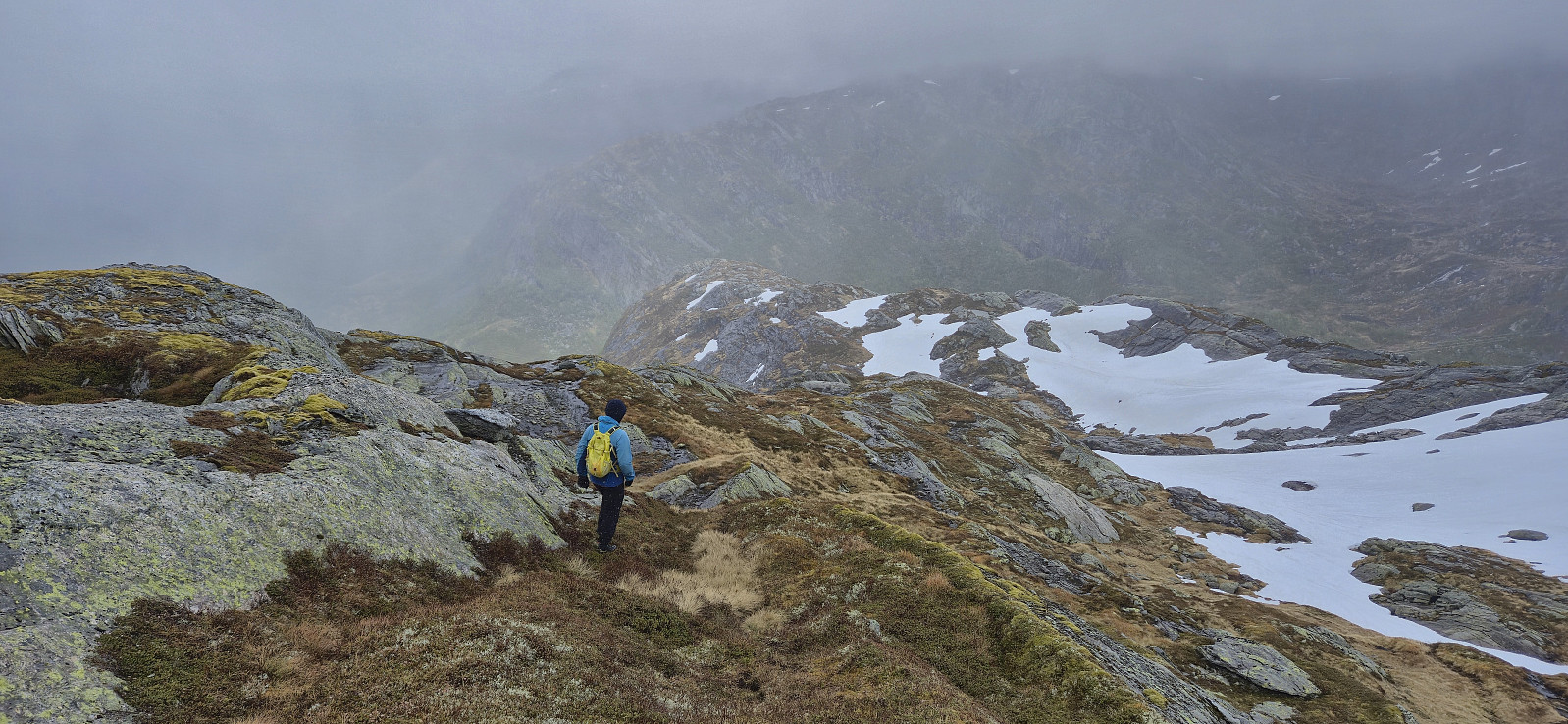
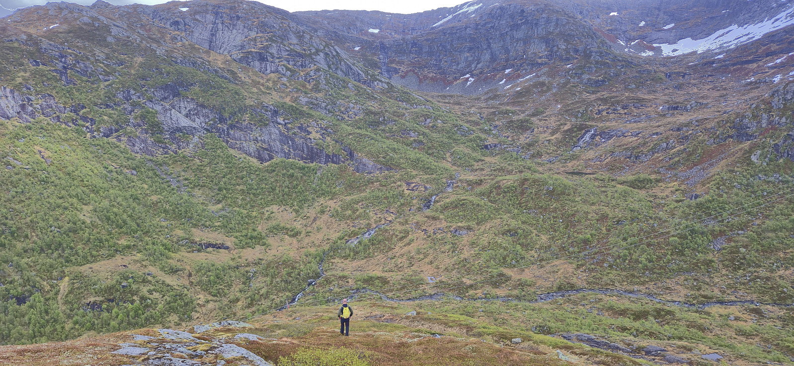
Early on there were a couple of steep areas but these could easily be avoided (our descent route was slightly better for this particular section) and from there on it was straightforward to make progress towards the highest point. The dense fog unfortunately resulted in next to no views and combined with a freezing wind and even a light snow shower, we did not stay long before returning along the same route. Back in the car, we had a short lunch break before heading north to Krosstølen p-plass to ascend Blånipa.
To conclude, ascending Sørskarfjellet via Tveradalsstølen is relatively straightforward and the summit probably provides excellent views, although on the latter we sadly cannot give much input. (Note that should also be possible to ascend Blånipa from the same parking lot. At least this option was indicated on the map shown at Krosstølen p-plass.)
| Starttidspunkt | 24.05.2025 12:09 (UTC+01:00 ST) |
| Sluttidspunkt | 24.05.2025 14:51 (UTC+01:00 ST) |
| Totaltid | 2t 41min |
| Bevegelsestid | 2t 25min |
| Pausetid | 0t 15min |
| Snittfart totalt | 2,6km/t |
| Snittfart bevegelsestid | 2,9km/t |
| Distanse | 7,0km |
| Høydemeter | 625m |

Kommentarer