Noltane via Mælandsstølen (23.05.2025)

| Start point | Mælandsstølen p-plass (334m) |
|---|---|
| Endpoint | Mælandsstølen p-plass (334m) |
| Characteristic | Hillwalk |
| Duration | 2h 54min |
| Distance | 7.9km |
| Vertical meters | 704m |
| GPS |
|
| Ascents | Noltane (991m) | 23.05.2025 18:11 |
|---|---|---|
| Visits of other PBEs | Mælandsstølen p-plass (334m) | 23.05.2025 16:37 |
| Mælandsstølen (547m) | 23.05.2025 17:10 |
Noltane via Mælandsstølen
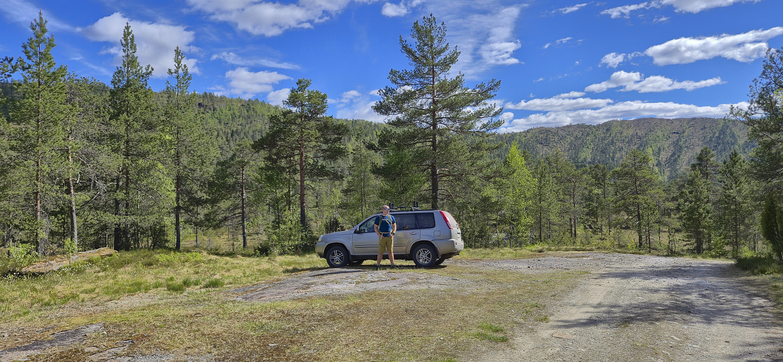
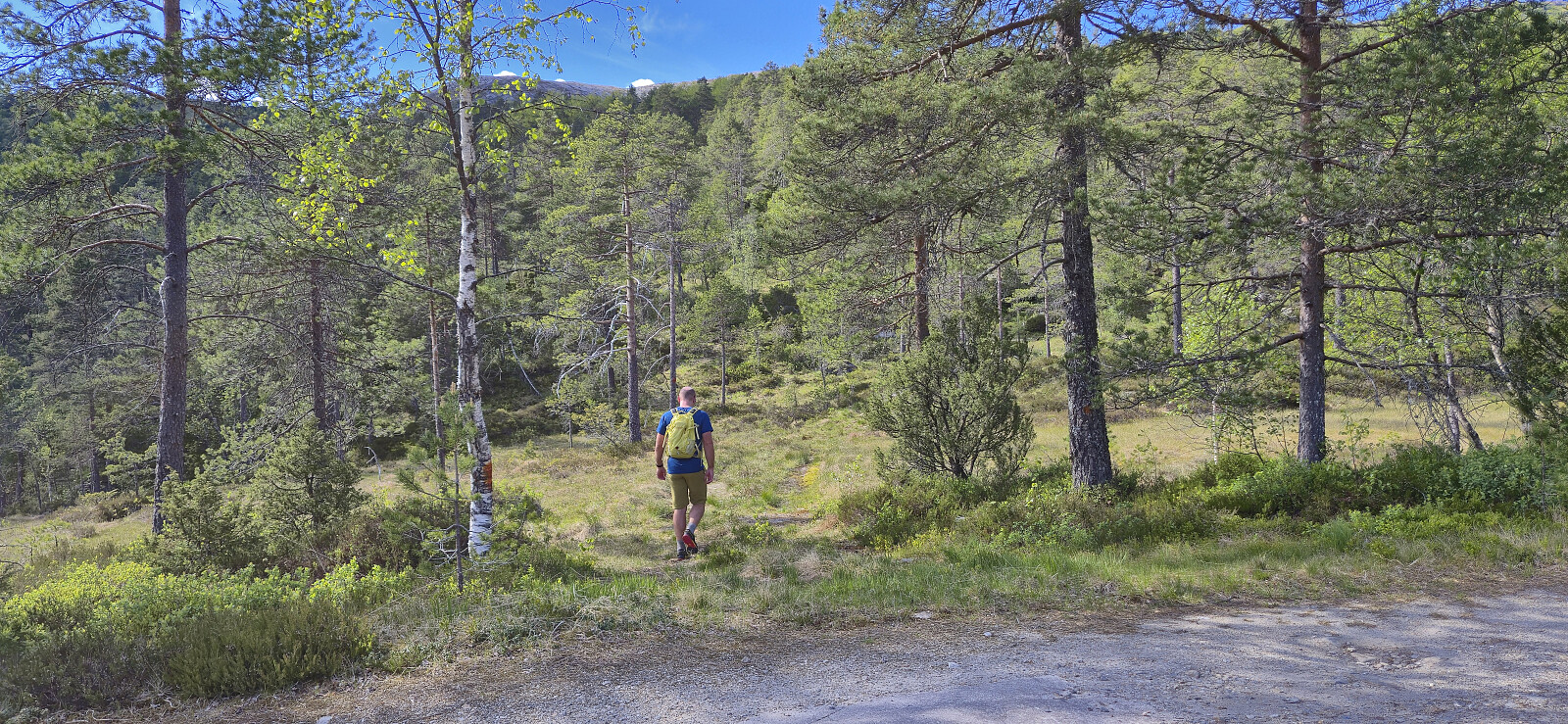
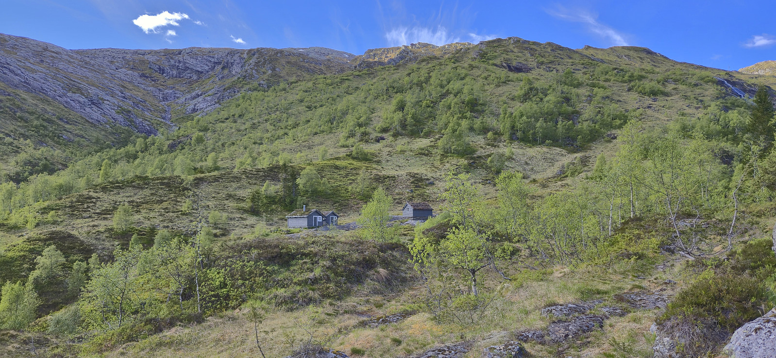
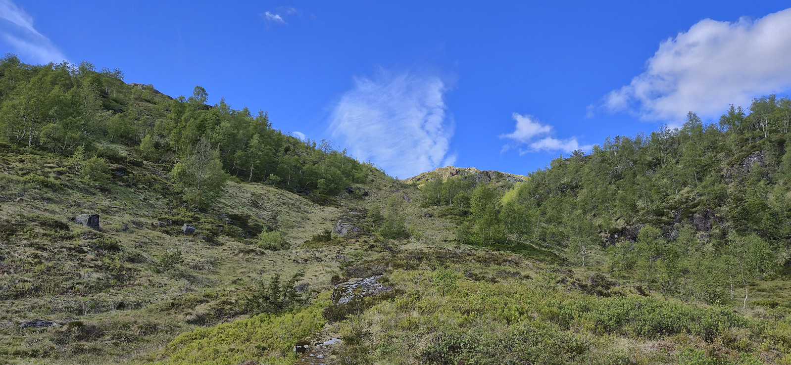
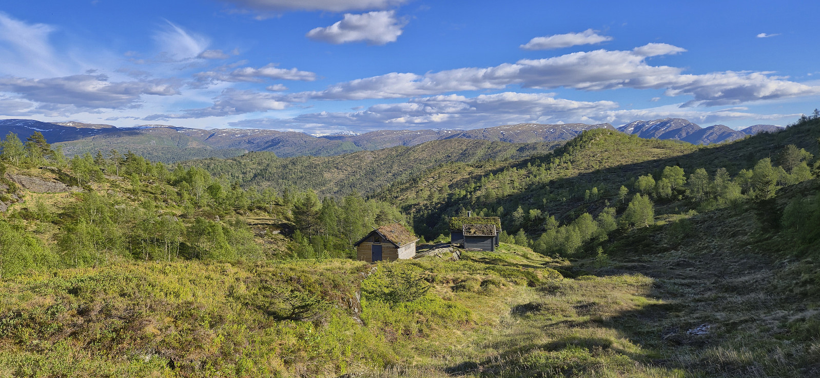
Started the weekend early to take advantage of what looked like the last day of great hiking weather for a while. Endre picked me up at my place shortly before three and together we drove to Øvstedalen north of Bolstadøyri. Here we parked at a small parking lot southwest from Mæland and started on the tractor road indicated on the map. This turned out to be a marked trail that took us all the way to Mælandsstølen.
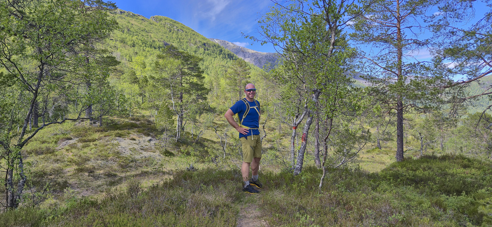
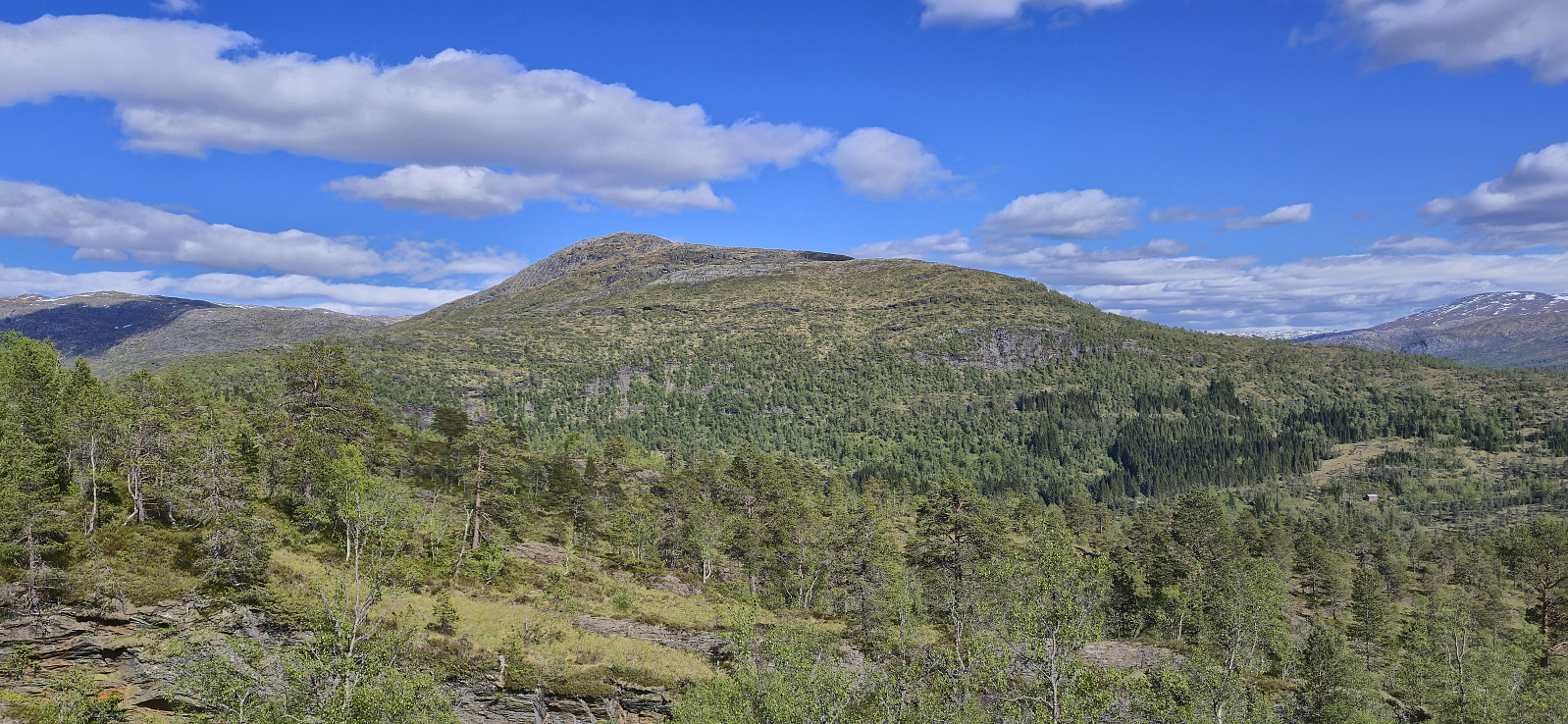
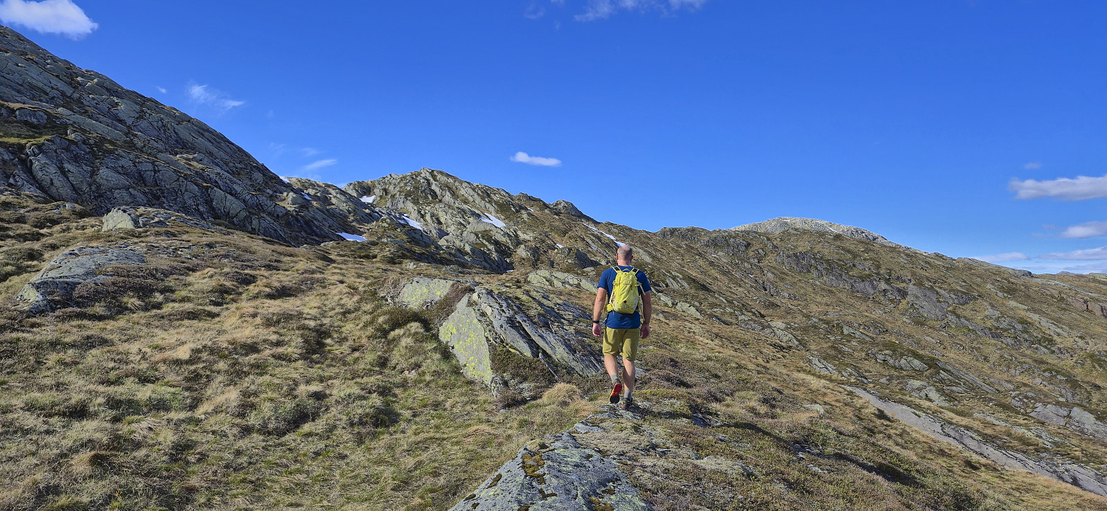
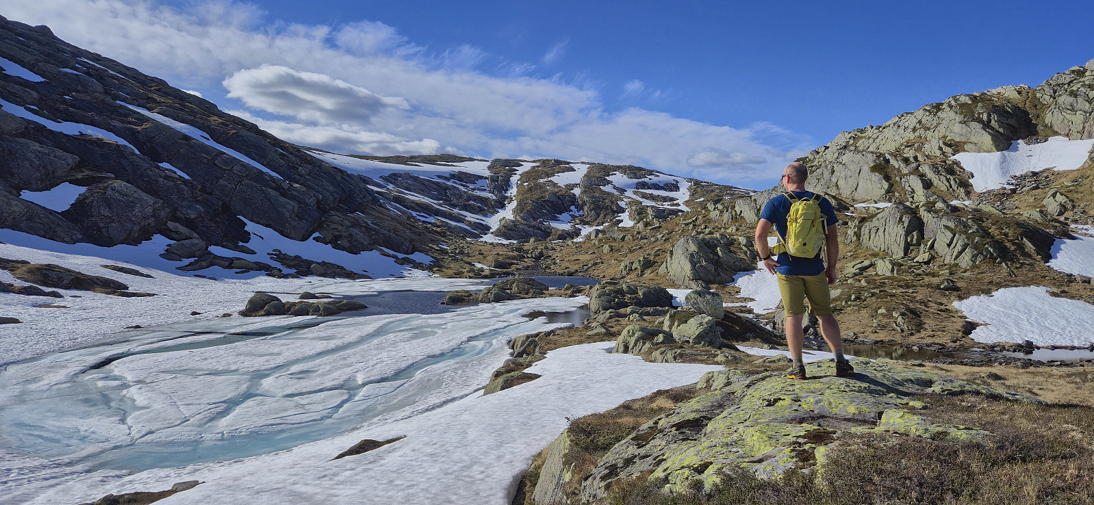
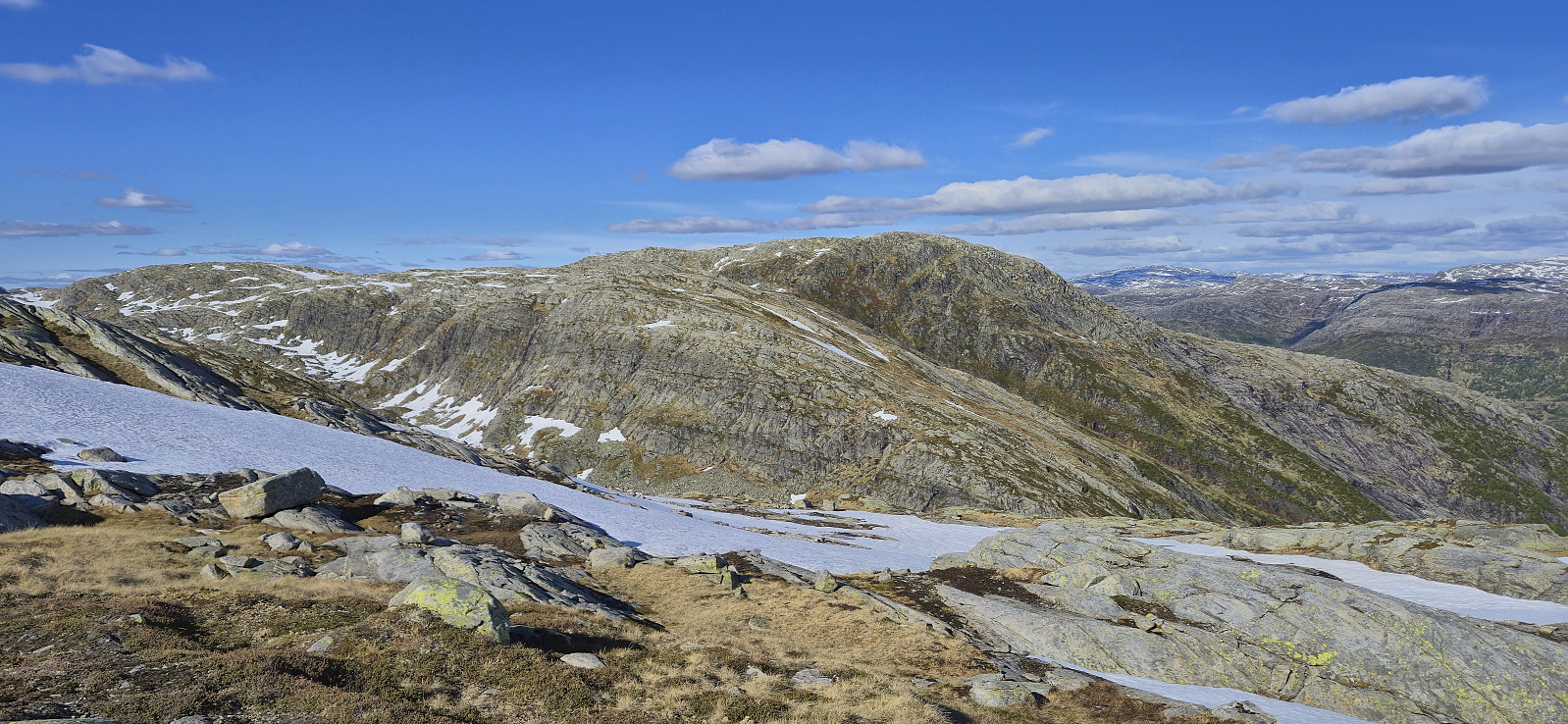
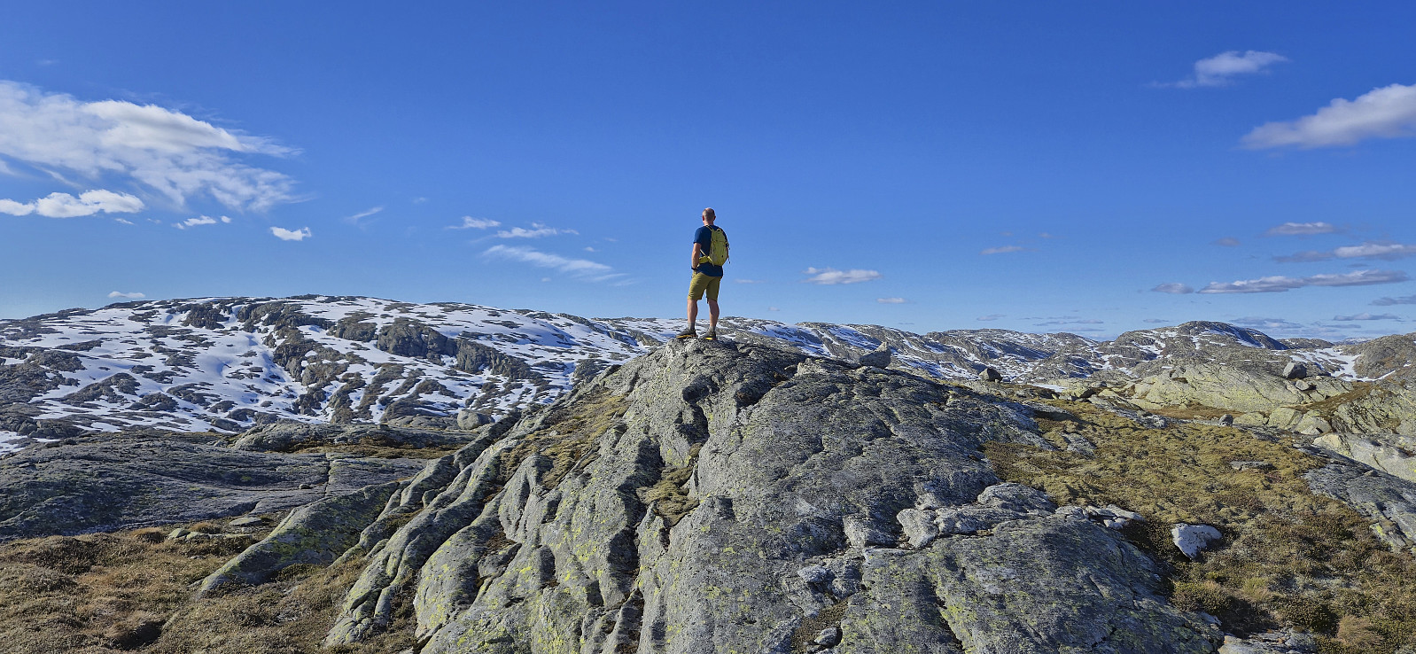
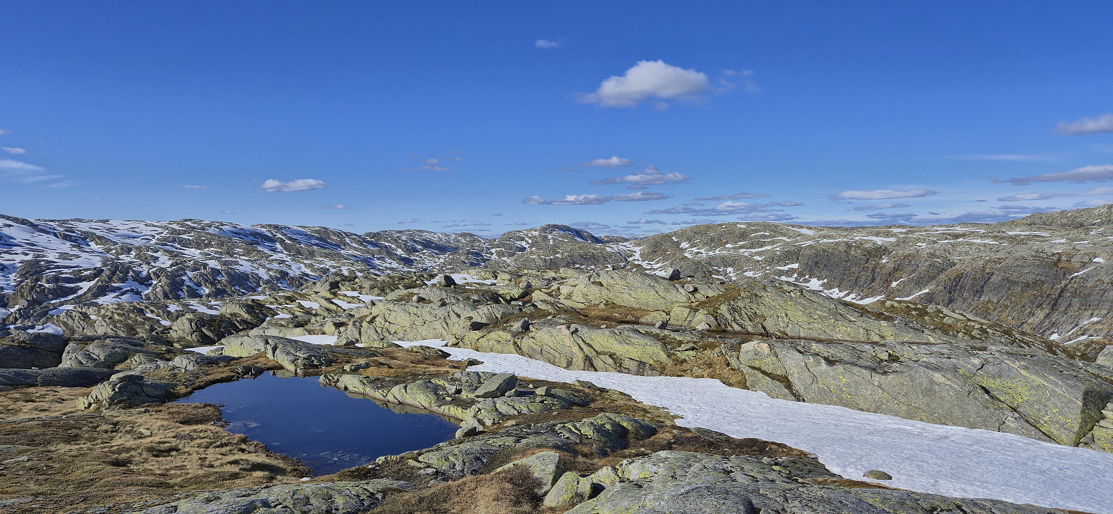
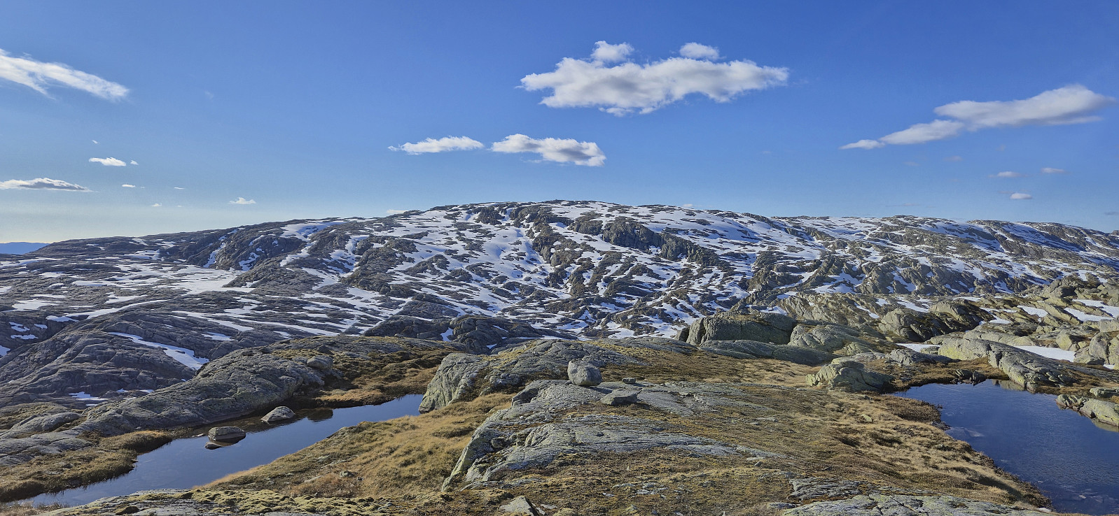
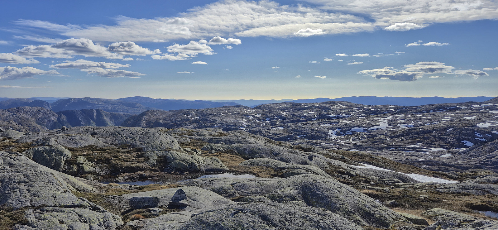
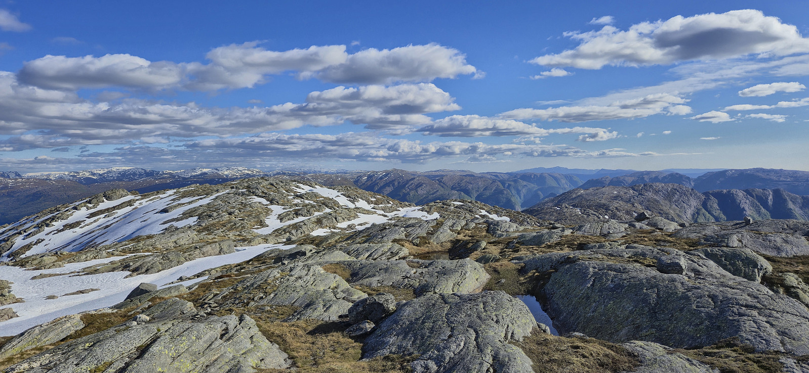
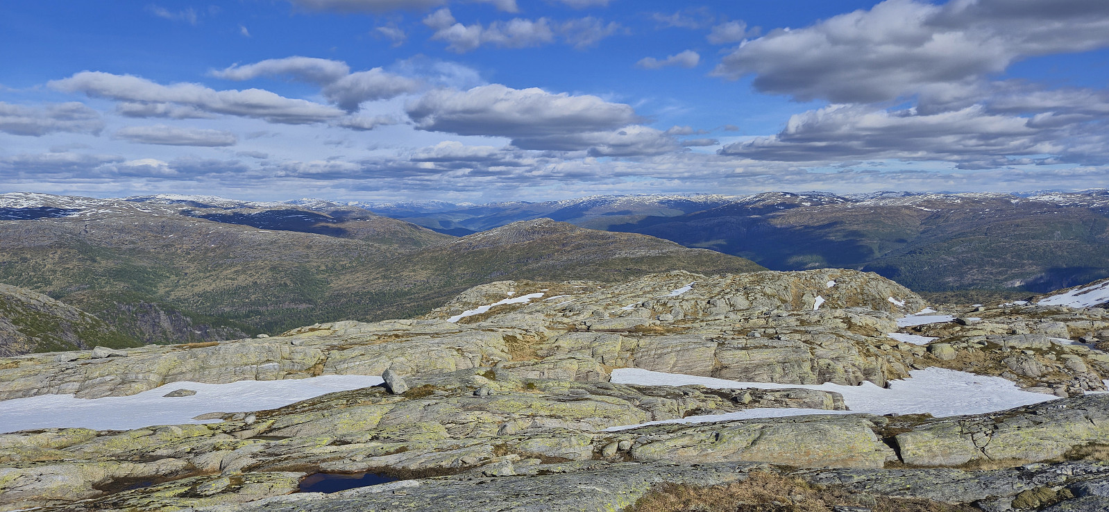
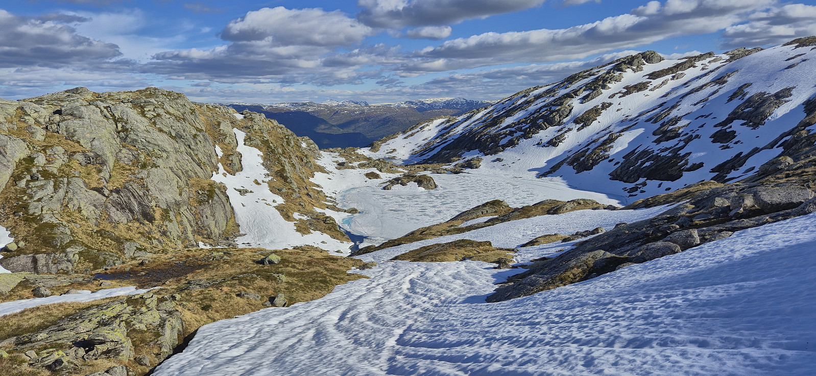
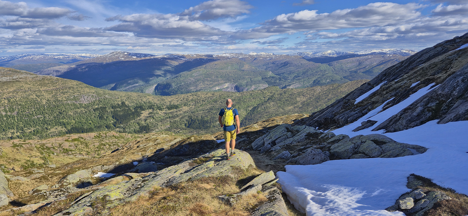
Here the trail ended but it was straightforward to ascend the rest of the way to the summit in open terrain. On our way to the highest point we passed by Rjupetjørni and after crossing a couple of patches of snow we arrived at the unmarked summit of Noltane. After a short break to enjoy the excellent panoramic views we descended along the same route.
In summary, a great hike with excellent views that can be highly recommended. (Note that the gravel road to the parking lot has a couple of sections that potentially could be challenging for cars with low ground clearance.)
| Start date | 23.05.2025 16:37 (UTC+01:00 DST) |
| End date | 23.05.2025 19:32 (UTC+01:00 DST) |
| Total Time | 2h 54min |
| Moving Time | 2h 31min |
| Stopped Time | 0h 23min |
| Overall Average | 2.7km/h |
| Moving Average | 3.2km/h |
| Distance | 7.9km |
| Vertical meters | 703m |

User comments