Gråsida from Nygard (18.05.2025)

| Startpunkt | Midvatnet/Åbotnsvatnet (121m) |
|---|---|
| Endpunkt | Midvatnet/Åbotnsvatnet (121m) |
| Tourcharakter | Bergtour |
| Tourlänge | 6h 25min |
| Entfernung | 10,6km |
| Höhenmeter | 1.085m |
| GPS |
|
| Besteigungen | Gråsida (1.165m) | 18.05.2025 15:17 |
|---|
Gråsida from Nygard
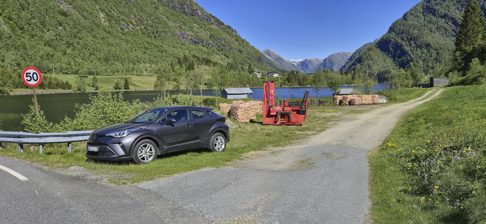
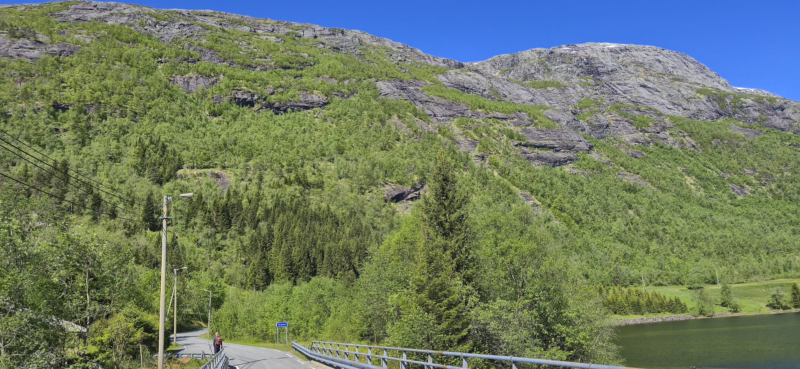
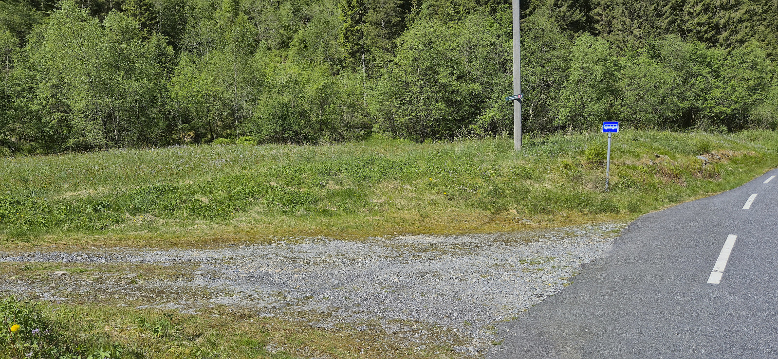
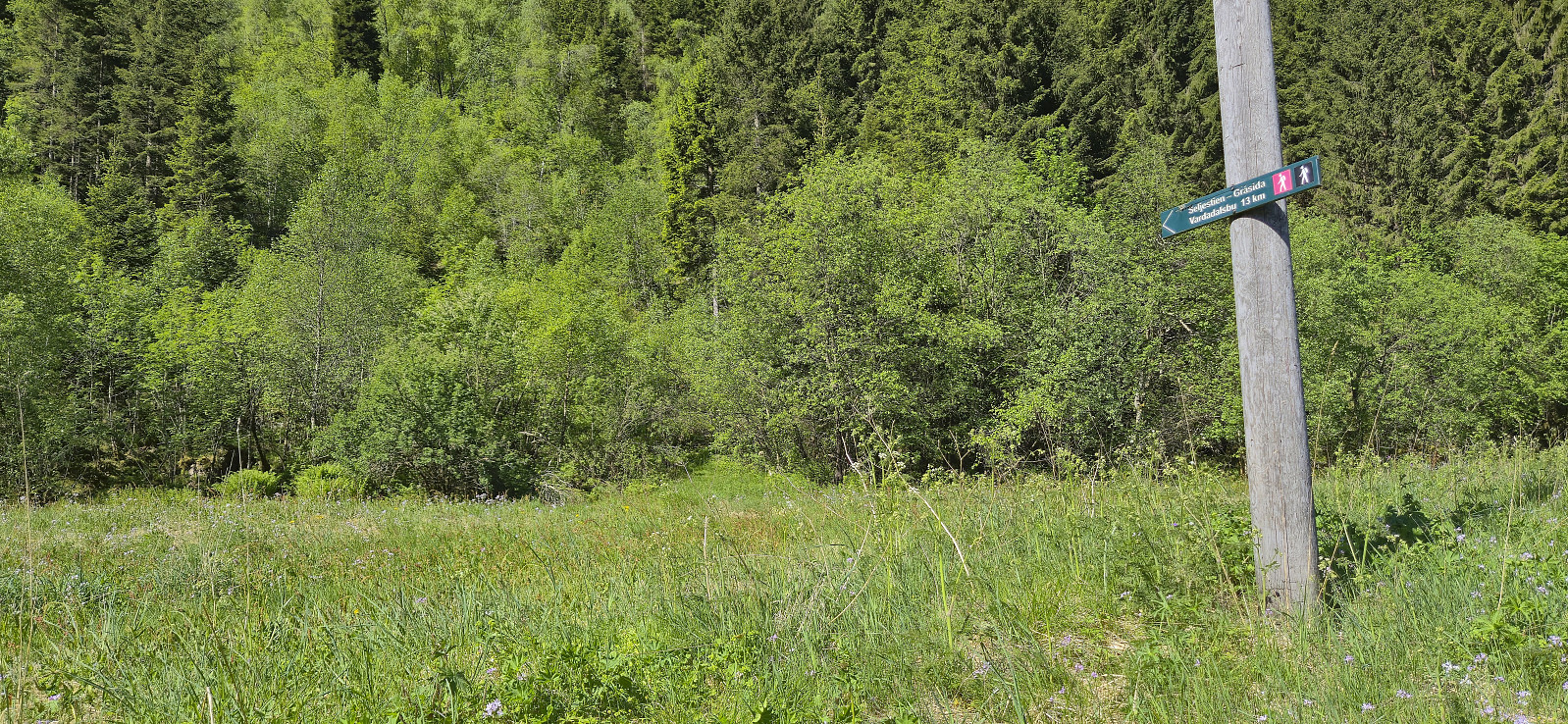
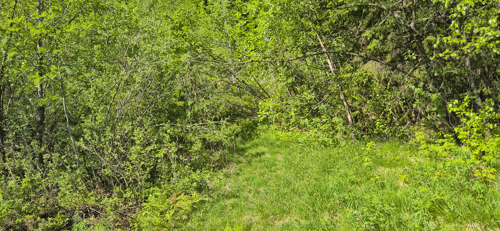
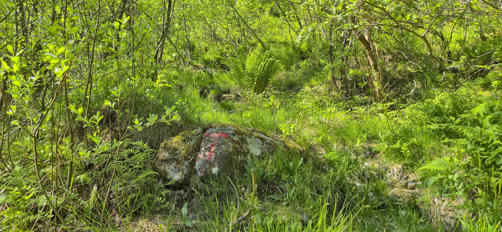
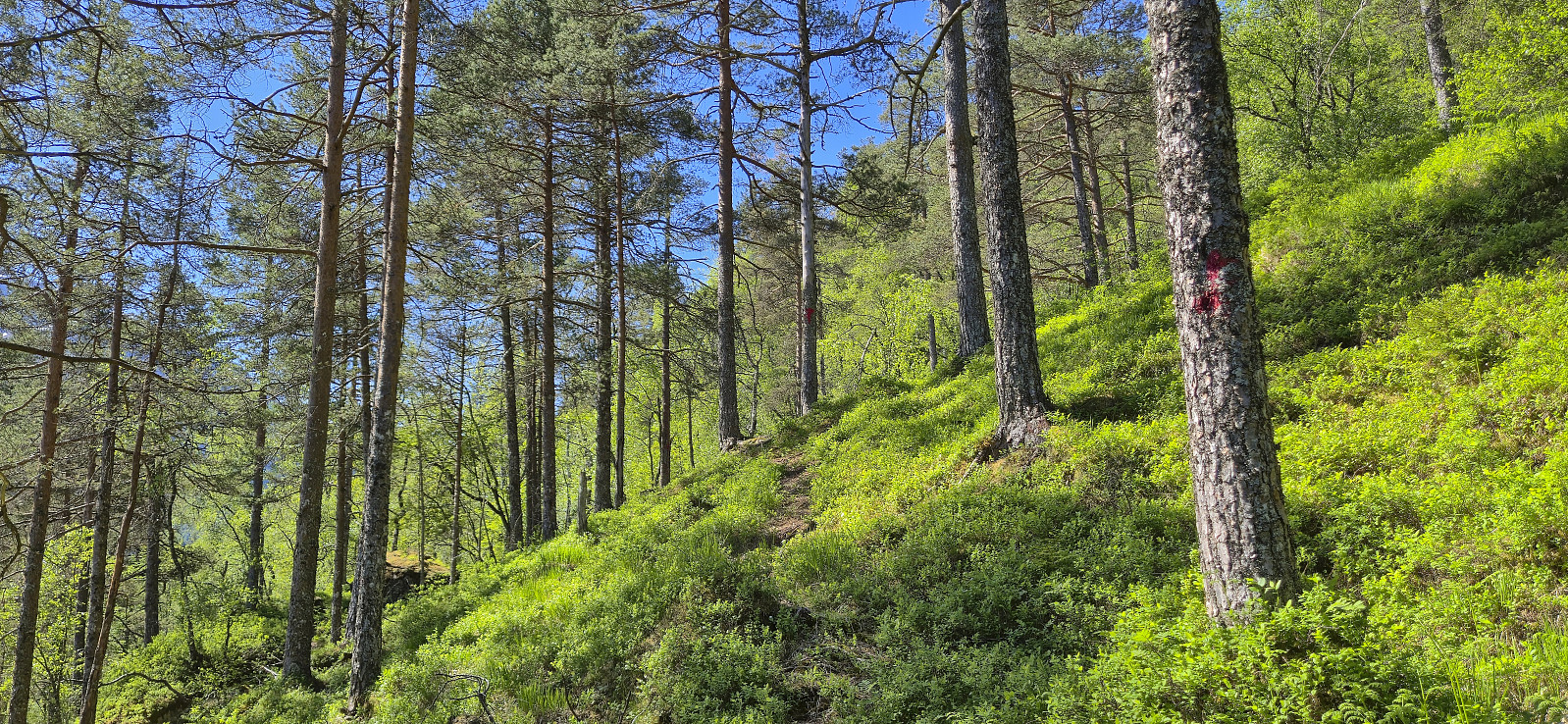
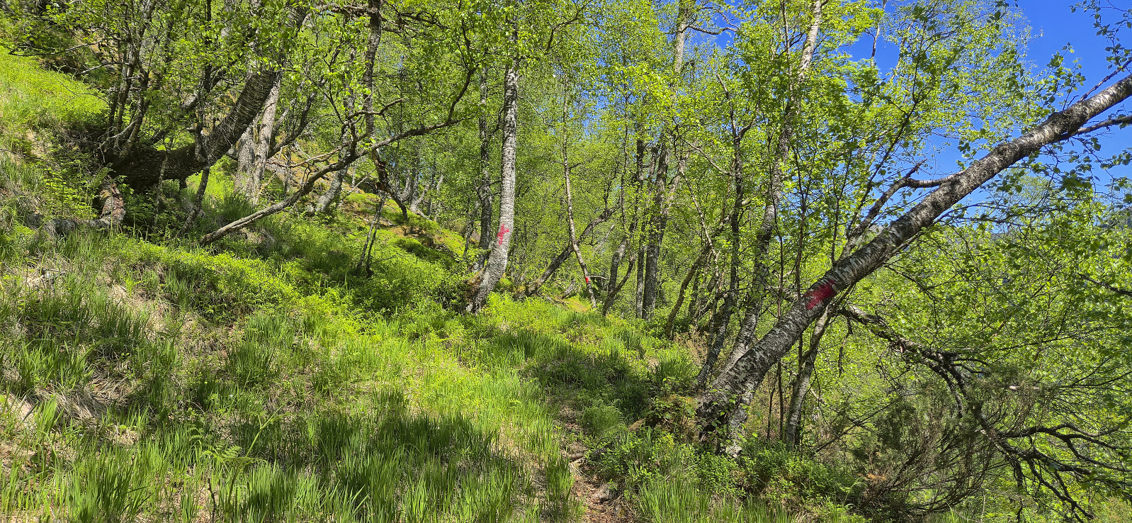
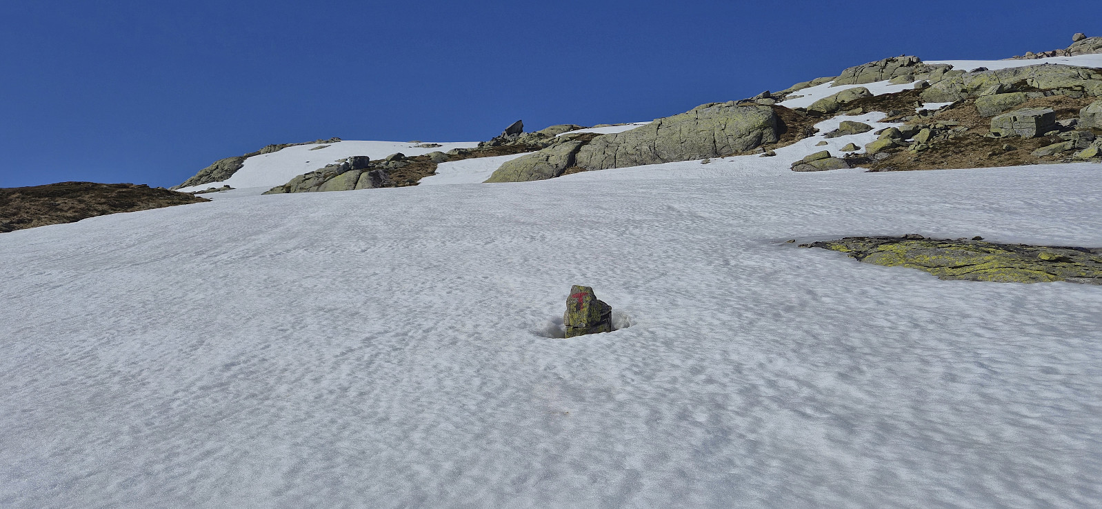
A return to Modalen to ascend Gråsida. We found parking next to the bridge separating Midvatnet and Åbotnsvatnet, and from there walked the short distance along the road to the marked trailhead for Gråsida and Vardadalsbu. The start of the trail itself was however a bit unclear but we soon found the red T's and from there on it was relatively straightforward to follow the marked trail almost all the way to the summit.
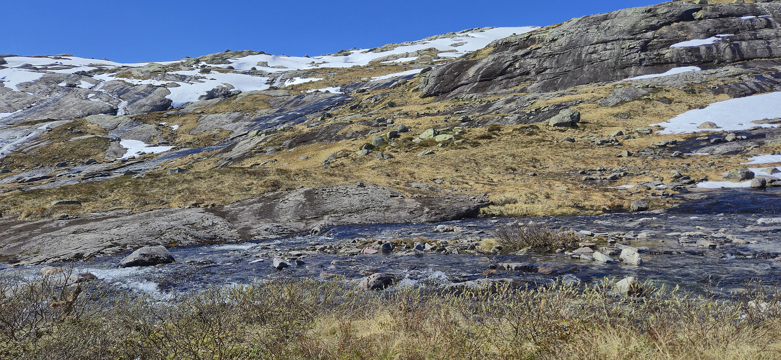
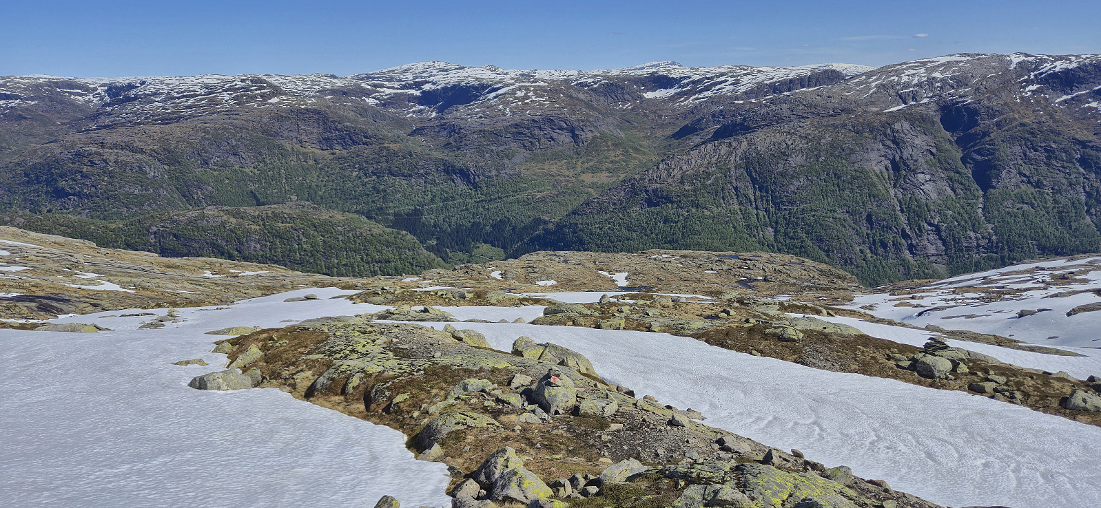
As expected there were a couple of steep sections on the way but overall the trail did a great job at winding its way upwards. It is worth noting that the marked trail deviated quite a lot from the trail outlined on the map though. South of Rusta we had to cross a stream to continue on the marked trail on the other side. In order to avoid getting our shoes wet we made a minor detour before reconnecting with the trail. This can probably be skipped when most of the snow has melted, and on the later descent we simply walked straight across the stream.
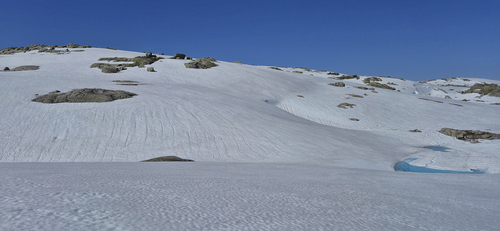
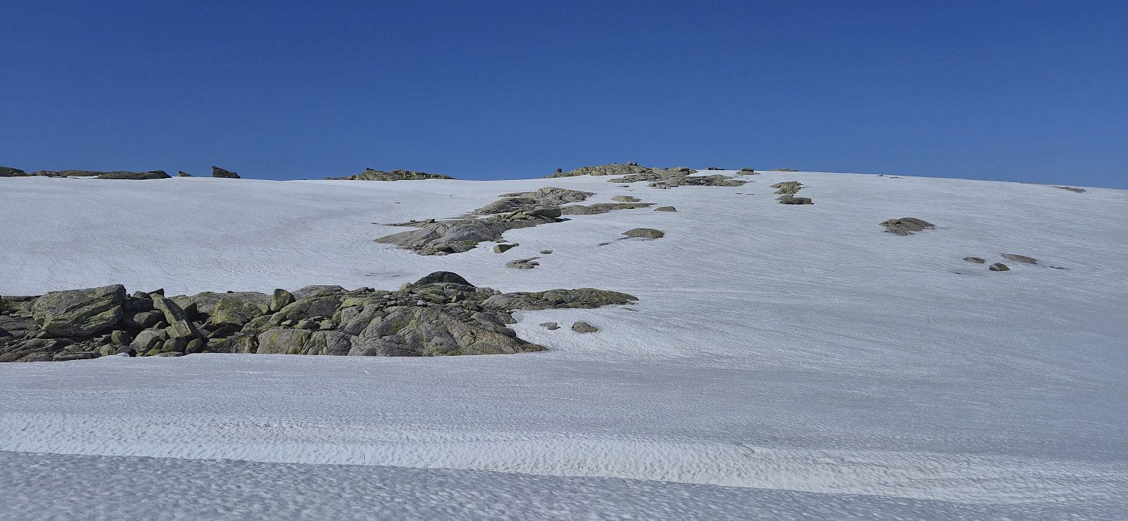
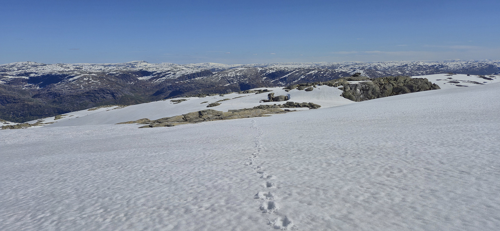
Shortly after crossing the stream my dad decided to stop for an extended lunch break while I continued the rest of the way to the summit on my own. I stayed on the marked trail until around 1050 meters above sea level and then aimed more directly for the summit, as by now the trail was completely hidden underneath the snow anyway.
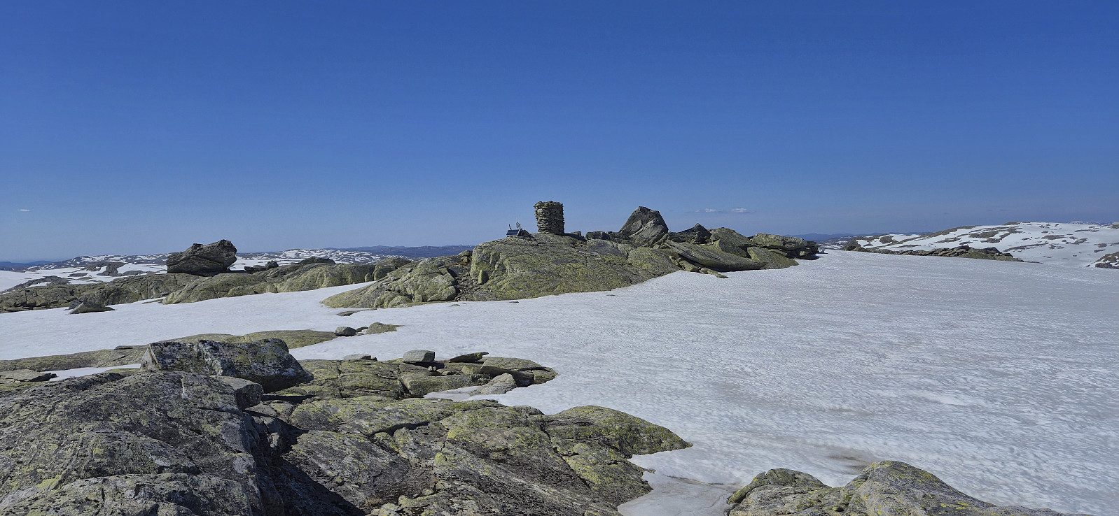
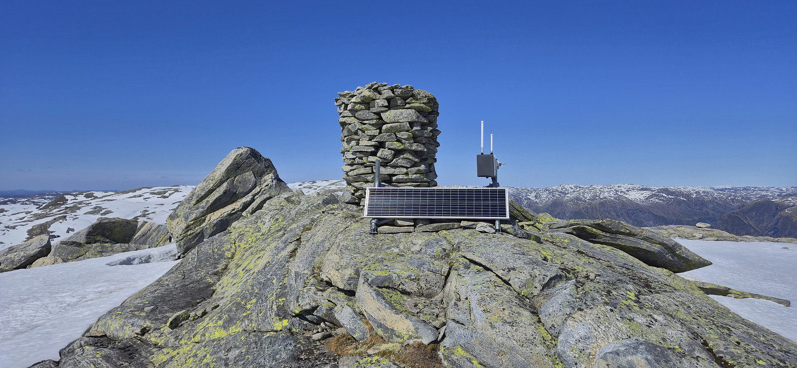
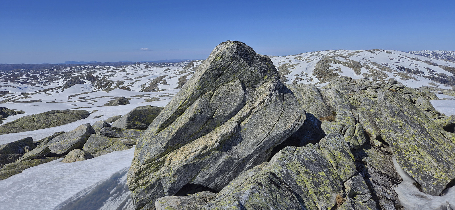
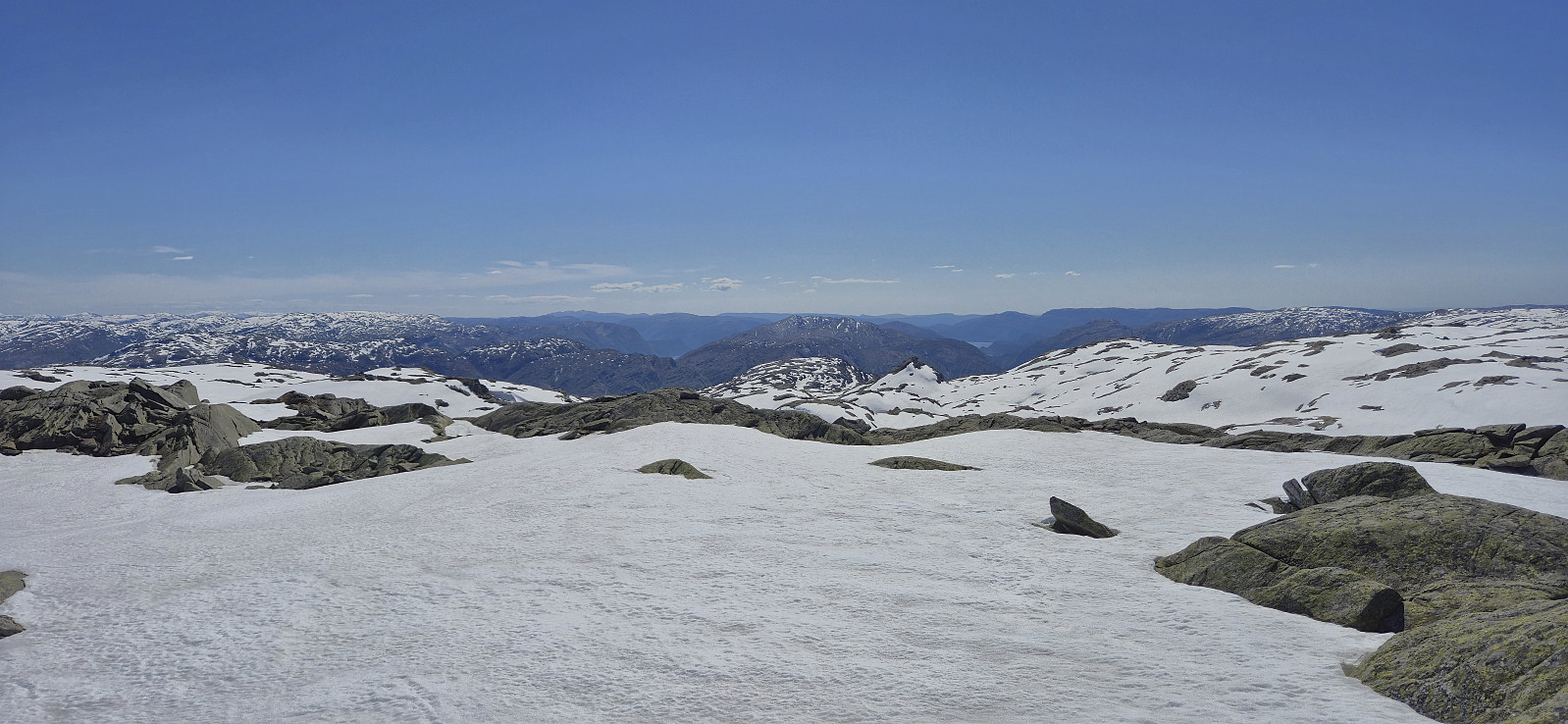
The summit provided excellent panoramic views and also included a large cairn. The highest point was however on top of a large boulder just north of the cairn. A bit of easy scrambling was required to put my hand on top of the boulder. I returned more or less the same way to where my dad was waiting before we together completed the rest of the descent.
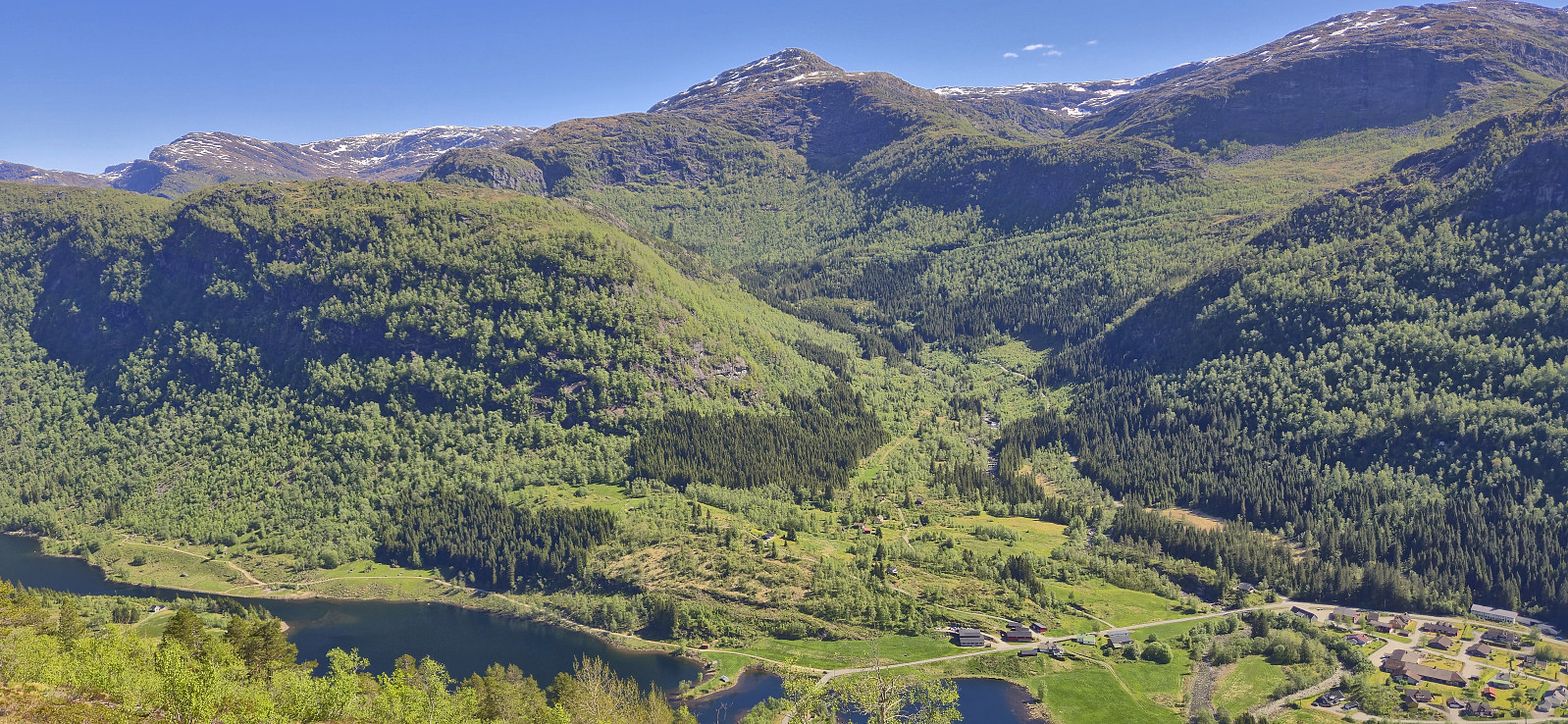
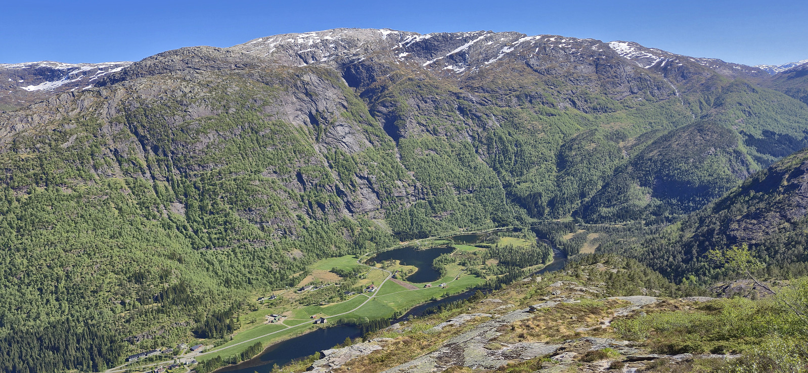
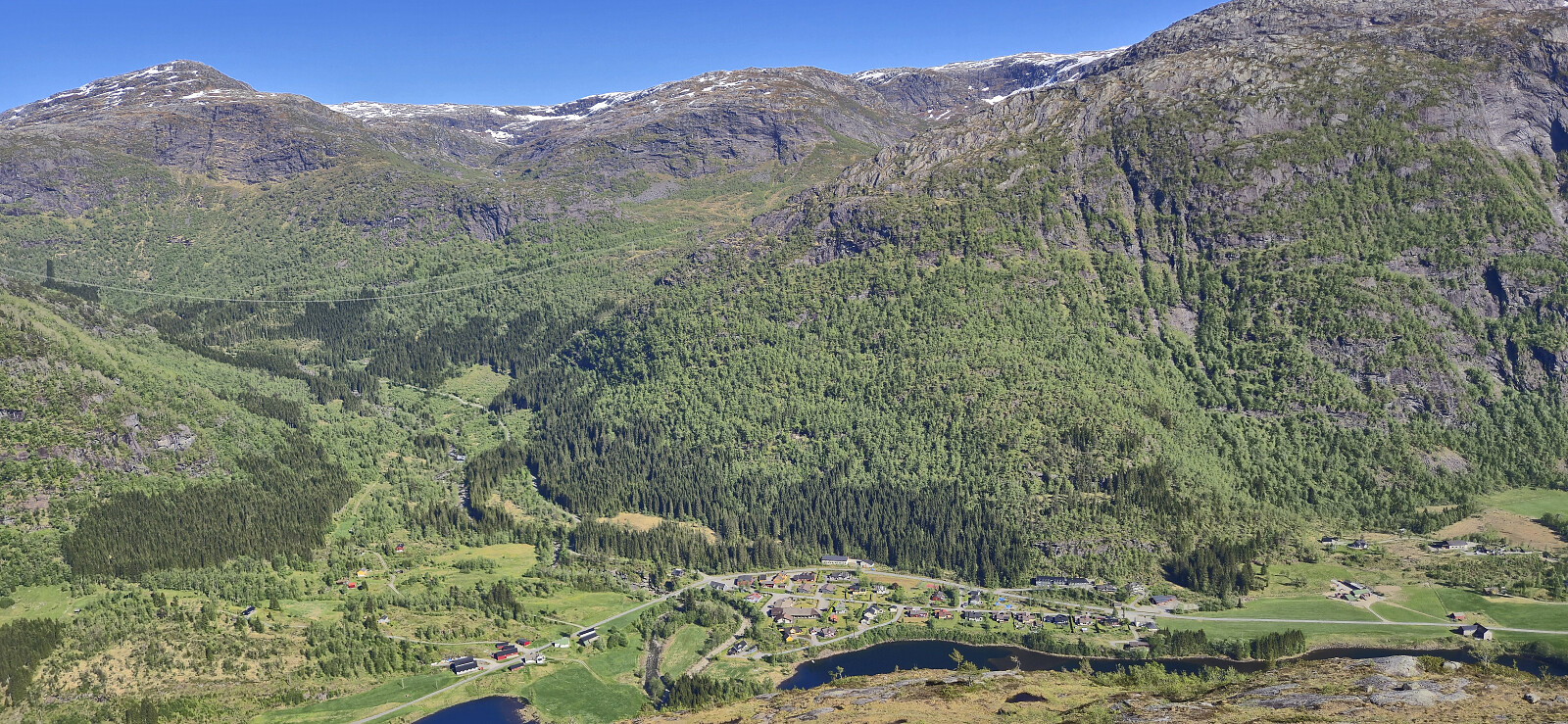
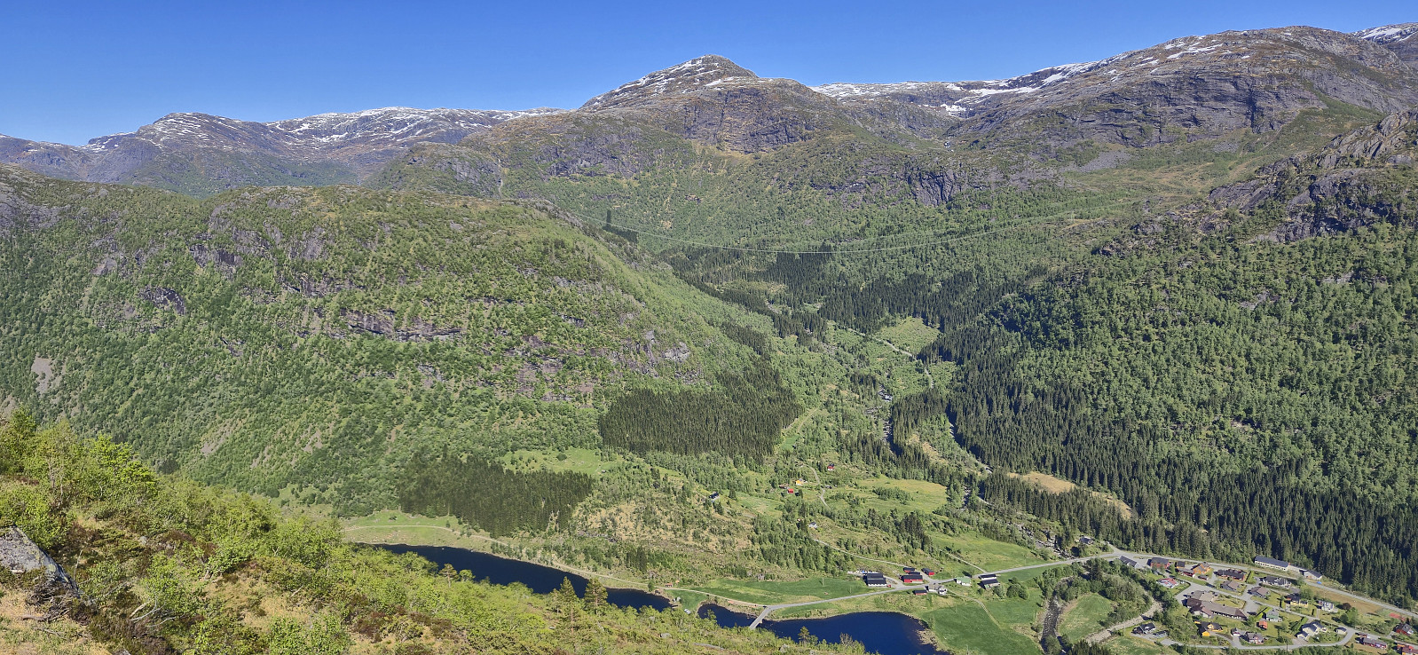
To conclude, ascending Gråsida from Nygard can easily be done via the marked trail to Vardadalsbu, with only a minor detour required towards the end. The hike also provides excellent views, most notably down into Modalen and across to the summits on the other side of the valley.
| Startzeitpunkt | 18.05.2025 11:22 (UTC+01:00 SZ) |
| Endzeitpunkt | 18.05.2025 17:48 (UTC+01:00 SZ) |
| Gesamtzeit | 6h 25min |
| Zeit in Bewegung | 5h 11min |
| Pausenzeit | 1h 14min |
| Gesamtschnitt | 1,6km/h |
| Bewegungsschnitt | 2,0km/h |
| Entfernung | 10,6km |
| Höhenmeter | 1.085m |

Benutzerkommentare