Manen from Pallane (30.04.2025)

| Startsted | Pallane (67moh) |
|---|---|
| Sluttsted | Pallane (67moh) |
| Turtype | Fjelltur |
| Turlengde | 3t 17min |
| Distanse | 7,4km |
| Høydemeter | 961m |
| GPS |
|
| Bestigninger | Manen (1013moh) | 30.04.2025 18:50 |
|---|---|---|
| Andre besøkte PBE'er | Pallane p-lomme (67moh) | 30.04.2025 17:05 |
Manen from Pallane

When my plans to spend the first of May skiing at Finse had to be postponed due to bad weather, I instead left work early the day before for a trip to Kvinnherad with Petter. We drove south from Bergen and made the 16:10-ferry from Gjermundshamn with plenty of time to spare.
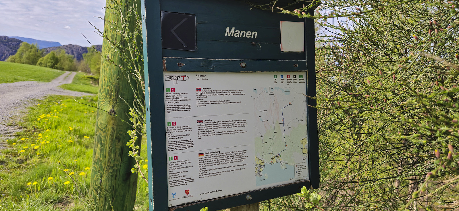
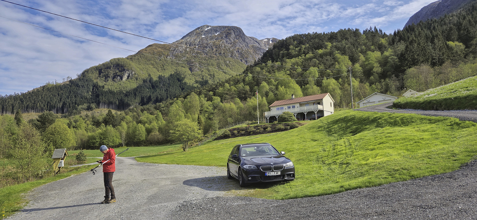
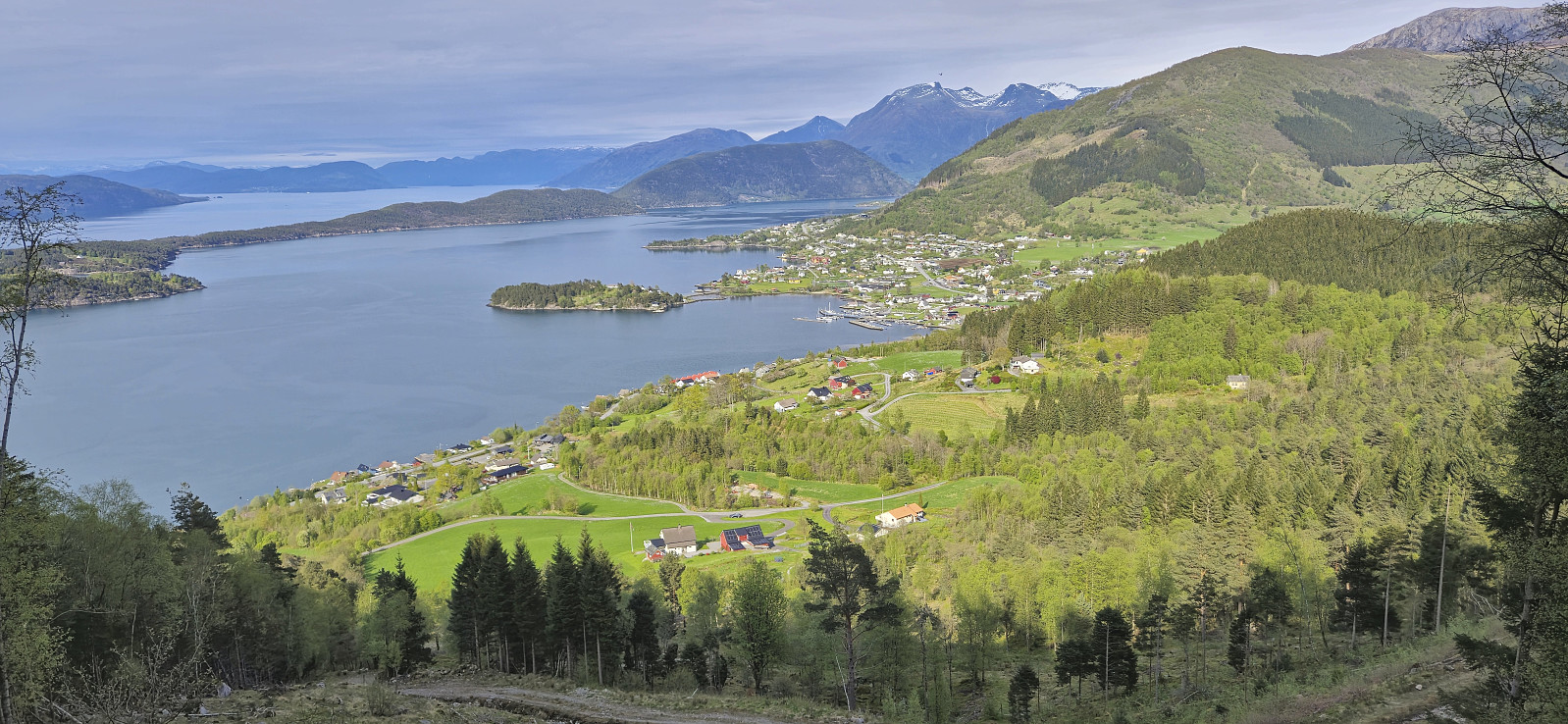
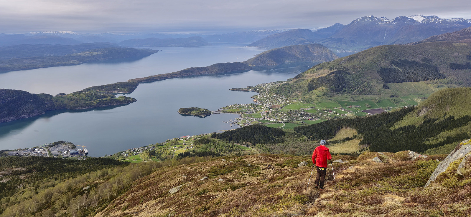
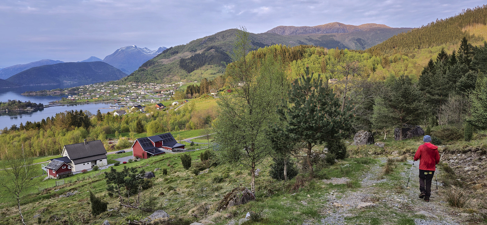
After crossing the fjord we drove the short distance south to the start of Uskedalen where we parked next to the marked trailhead at Pallane in Eikevegen and were ready to start our hike to Manen shortly after five.
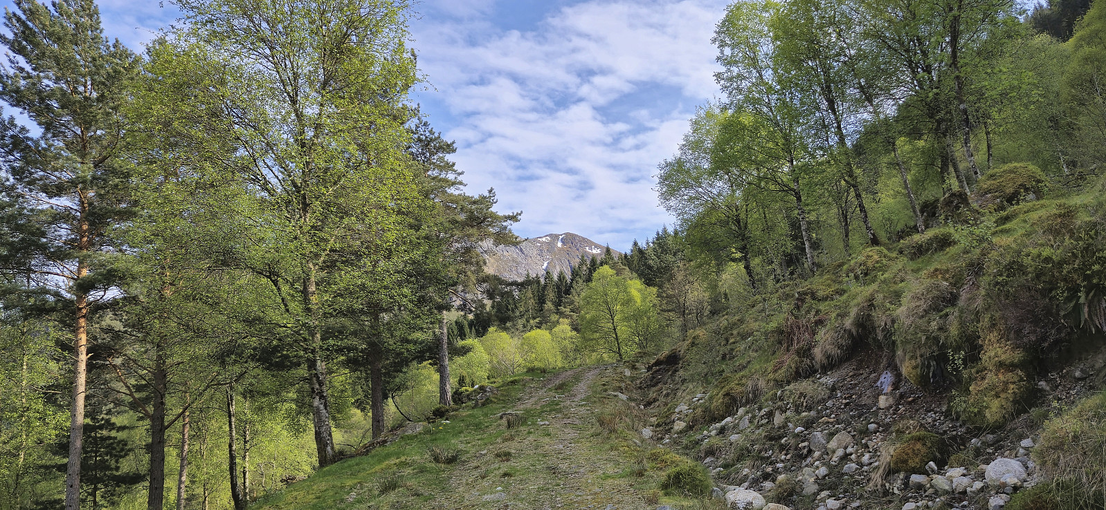
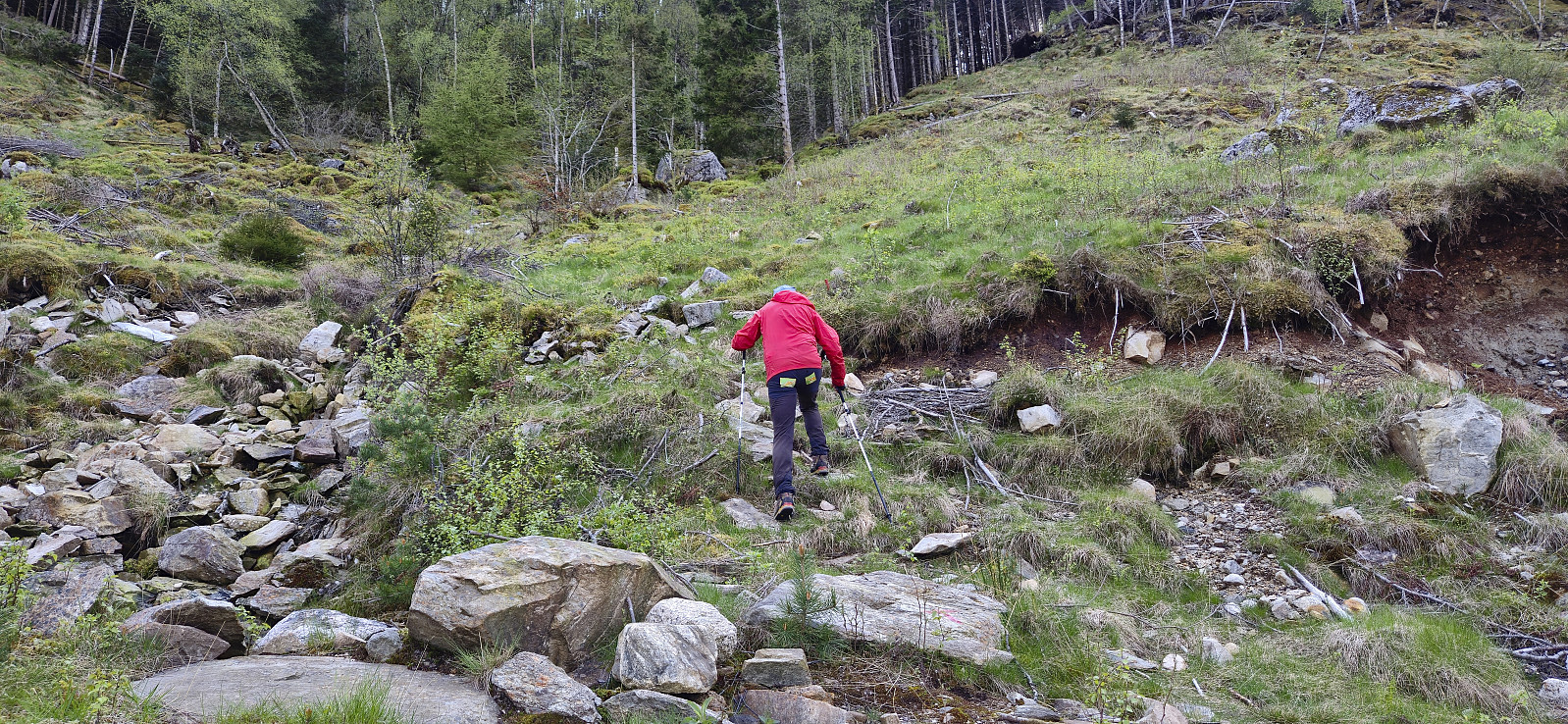
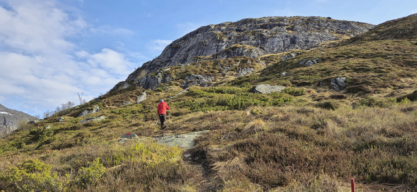
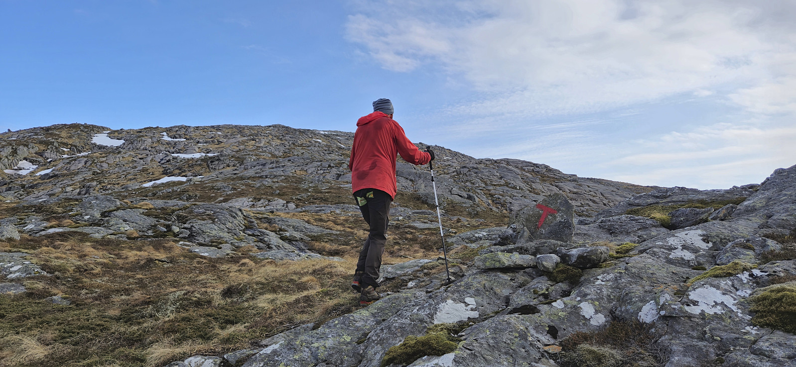
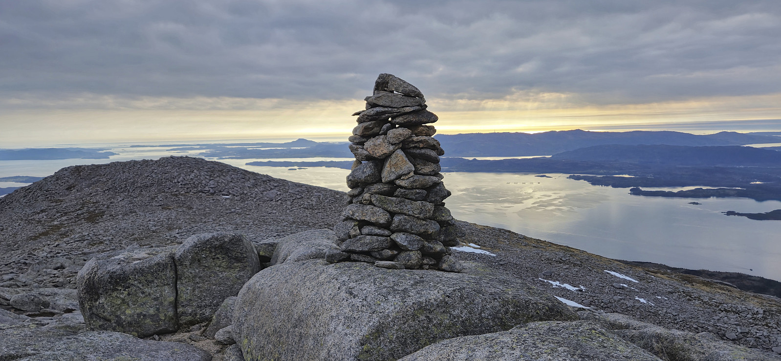
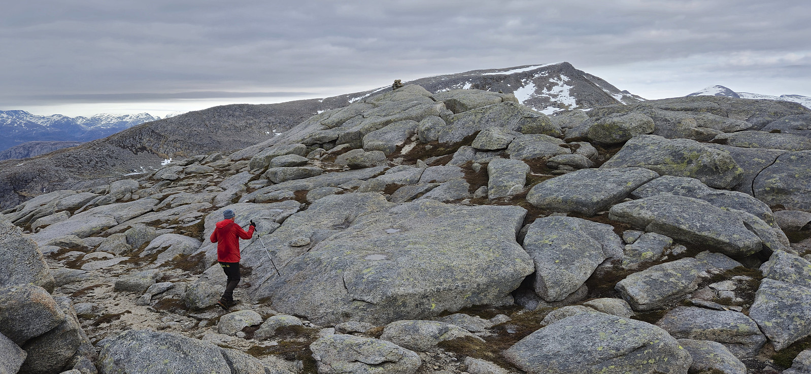
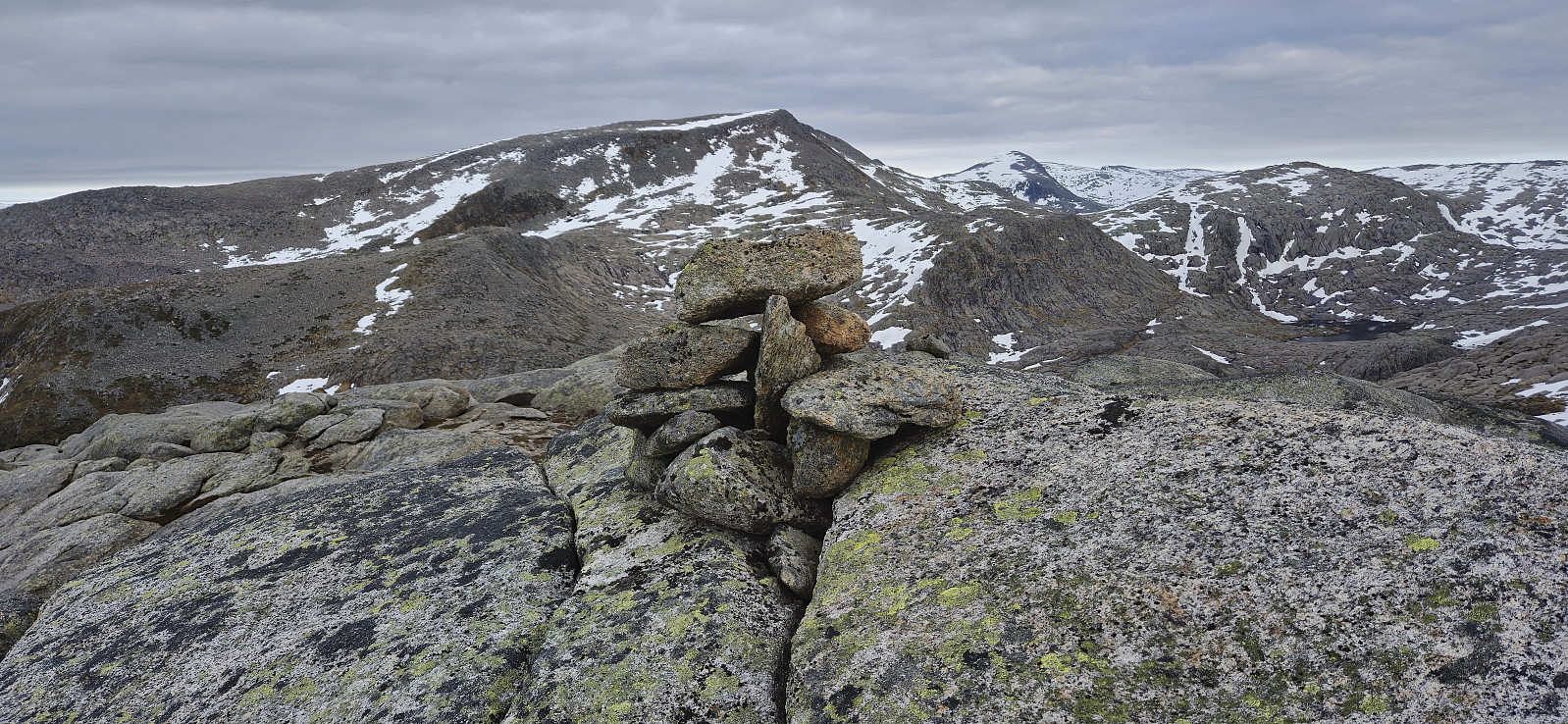
We began by following a tractor road up to the start of the marked trail. The trail was however at first rather weak and we quickly lost it. But after a couple of minutes we found it again and from there on it was straightforward to follow it all the way to the summit. Note however that the trail seems to end at a large cairn that is not at the highest point. The summit is about 120 meters further east and marked with a much smaller cairn.
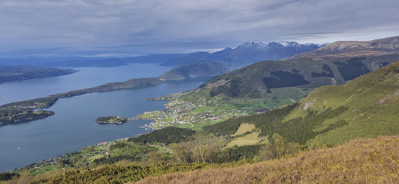
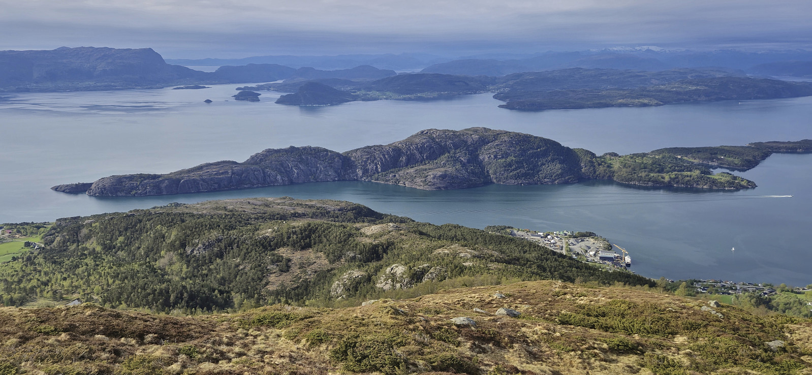
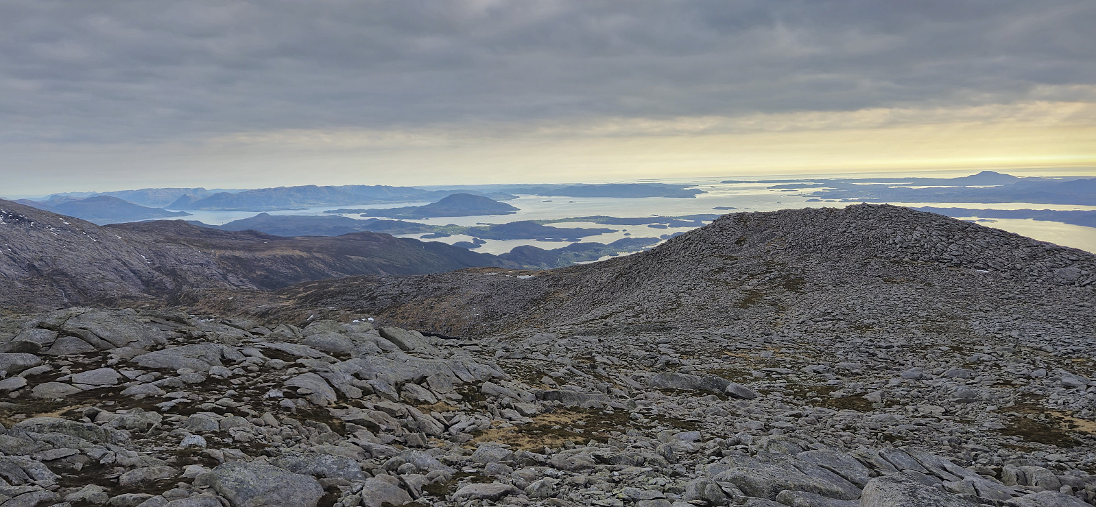
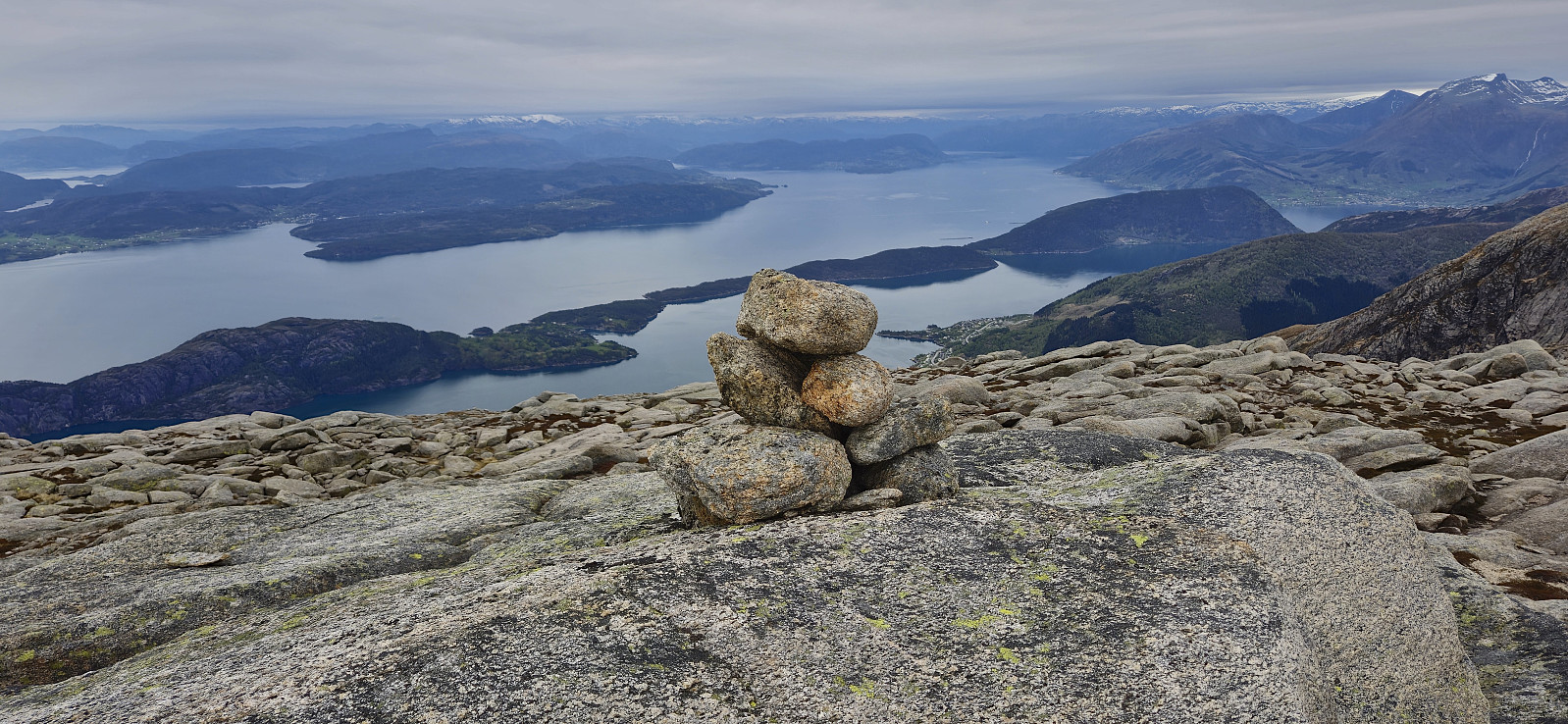
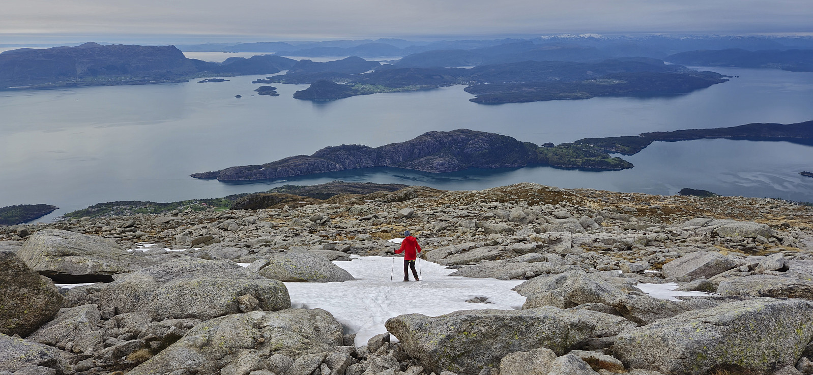
Spectacular views from the summit, even though the sun had now disappeared behind the clouds. Combined with a ferry to catch at Årsnes, we therefore did not stay long before descending along the same route but this time managing to stay on the marked trail also for the final section to the tractor road.
To conclude, an excellent hike with spectacular views that can be highly recommended!
| Starttidspunkt | 30.04.2025 17:05 (UTC+01:00 ST) |
| Sluttidspunkt | 30.04.2025 20:23 (UTC+01:00 ST) |
| Totaltid | 3t 17min |
| Bevegelsestid | 3t 04min |
| Pausetid | 0t 13min |
| Snittfart totalt | 2,2km/t |
| Snittfart bevegelsestid | 2,4km/t |
| Distanse | 7,4km |
| Høydemeter | 960m |

Kommentarer
Wow!
Skrevet av HHauser 03.05.2025 13:40Takk for delingen -- denne toppen har jeg også lyst på! :-)
Re: Wow!
Skrevet av hbar 05.05.2025 12:11Takk, Helwig! Tror nok du kommer til å like denne, men sikkert lurt å kombinere med Englafjell om du har litt bedre tid enn meg og Petter?