Hillesdalsfjell and Håfjell (26.04.2025)

| Startsted | Dalsvegen (295moh) |
|---|---|
| Sluttsted | Dalsvegen (295moh) |
| Turtype | Fjelltur |
| Turlengde | 5t 27min |
| Distanse | 14,6km |
| Høydemeter | 973m |
| GPS |
|
| Bestigninger | Hillesdalsfjell (679moh) | 26.04.2025 11:38 |
|---|---|---|
| Håfjell (720moh) | 26.04.2025 13:13 | |
| Andre besøkte PBE'er | Varden på Håfjell (719moh) | 26.04.2025 13:17 |
Hillesdalsfjell and Håfjell
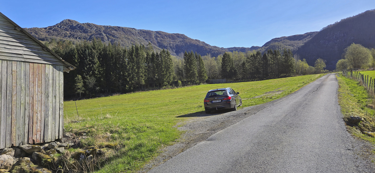
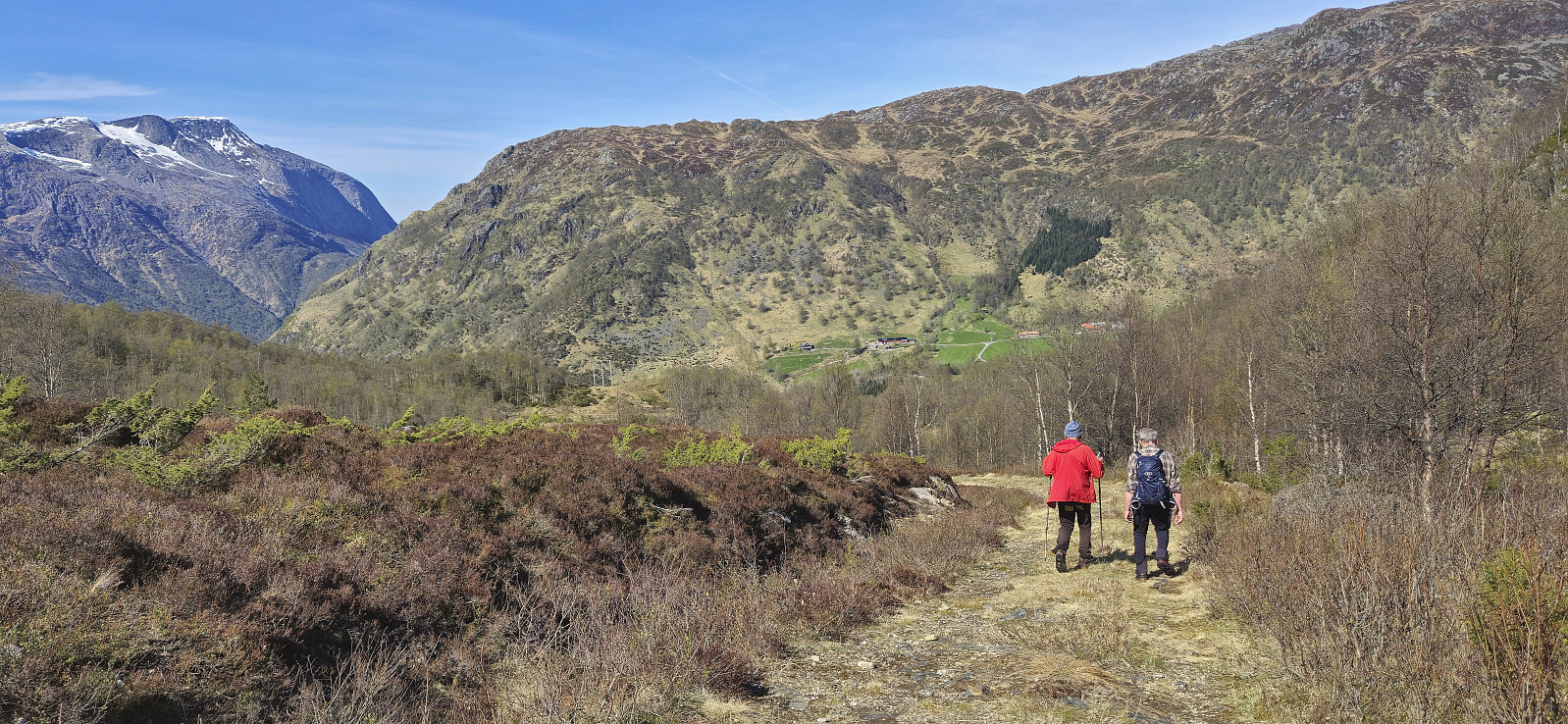
Kjell picked me up at 06:50 for the short drive to meet up with Petter and from his place we all continued in Petter's car to Gjermundshamn for the 09:00-ferry to Årsnes. After crossing the fjord, we drove south via Rosendal to Matre and Matersdalen where we found parking next to the road and were finally ready to start hiking shortly after 10:00.
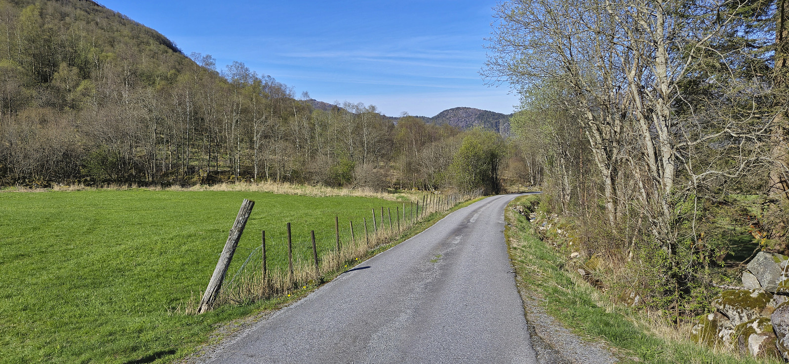
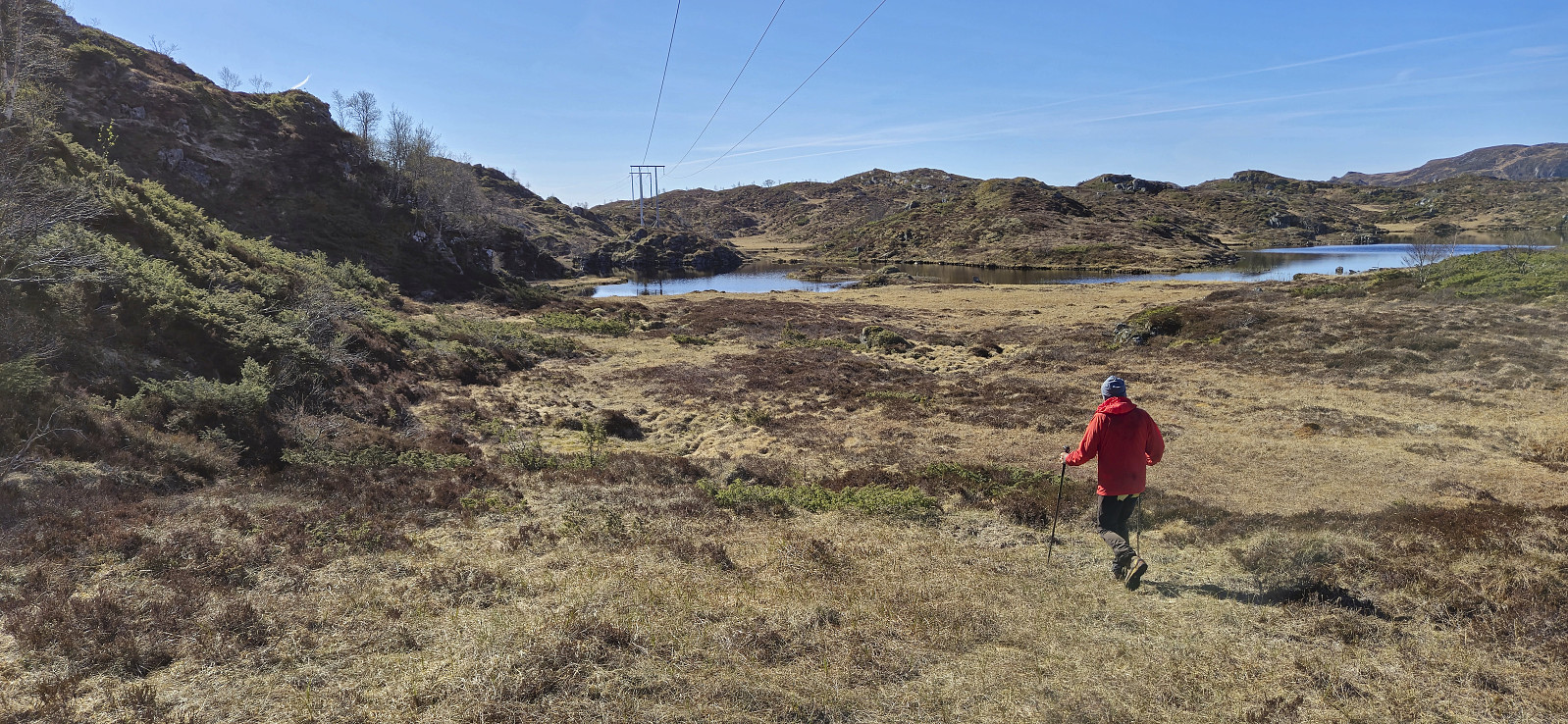
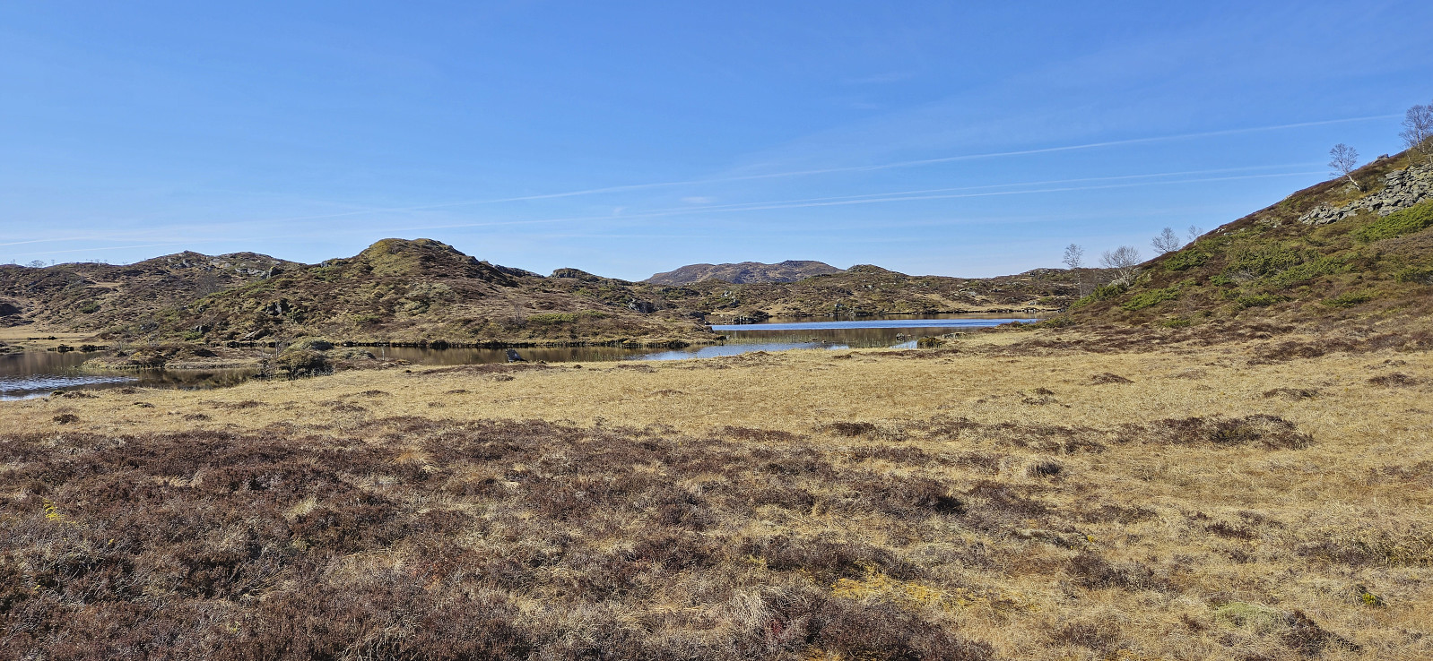
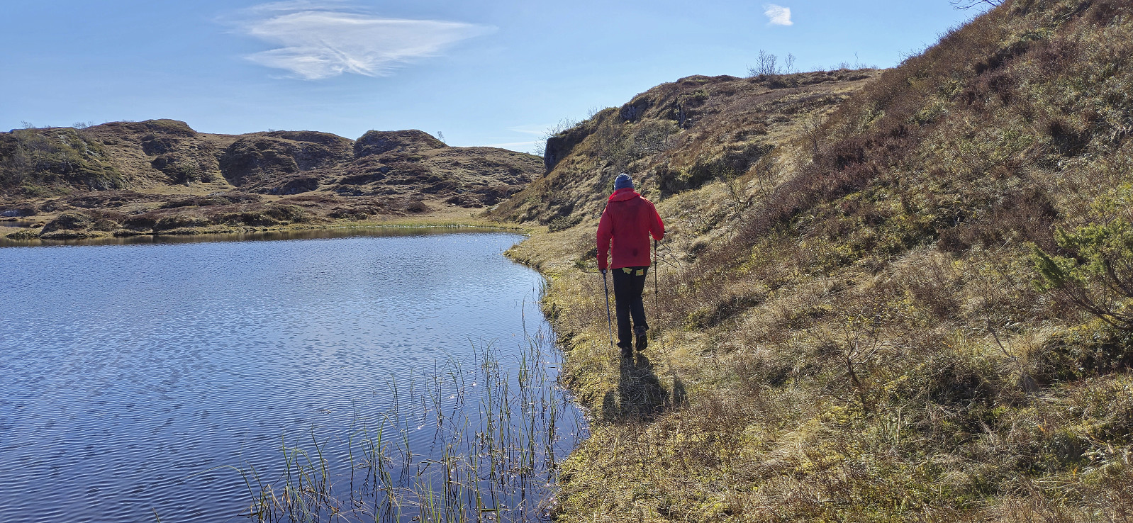
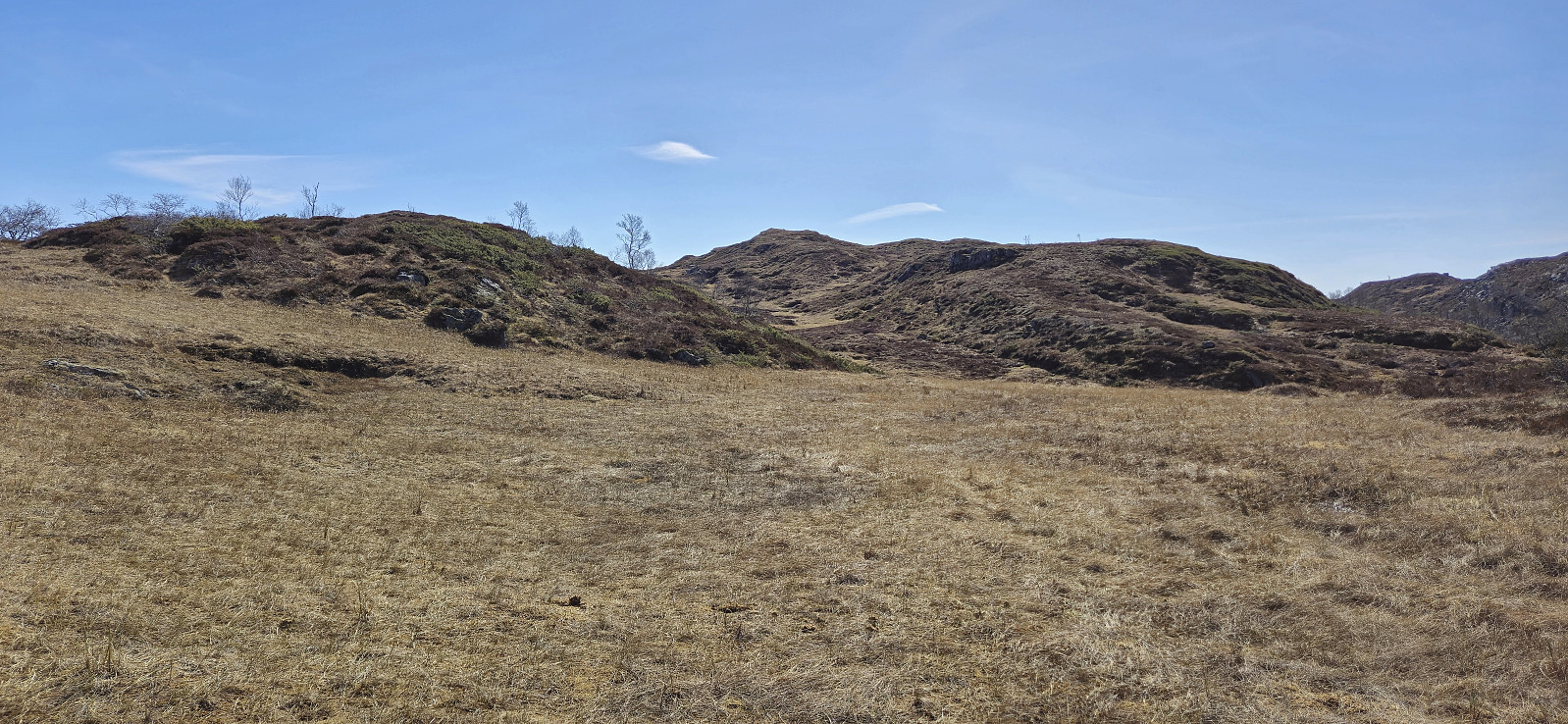
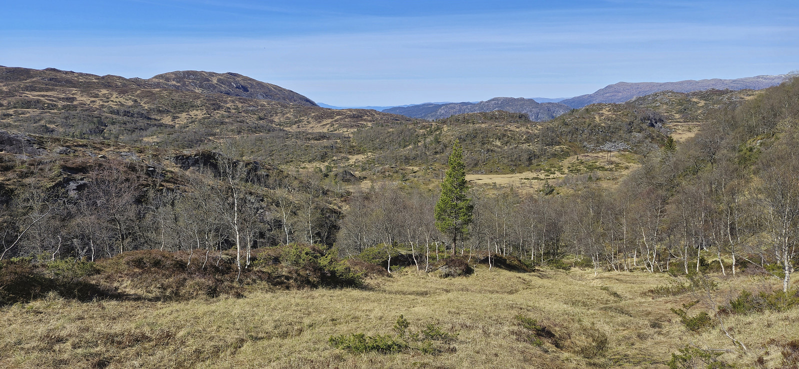
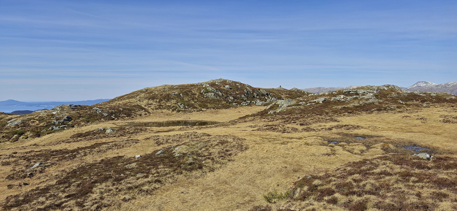
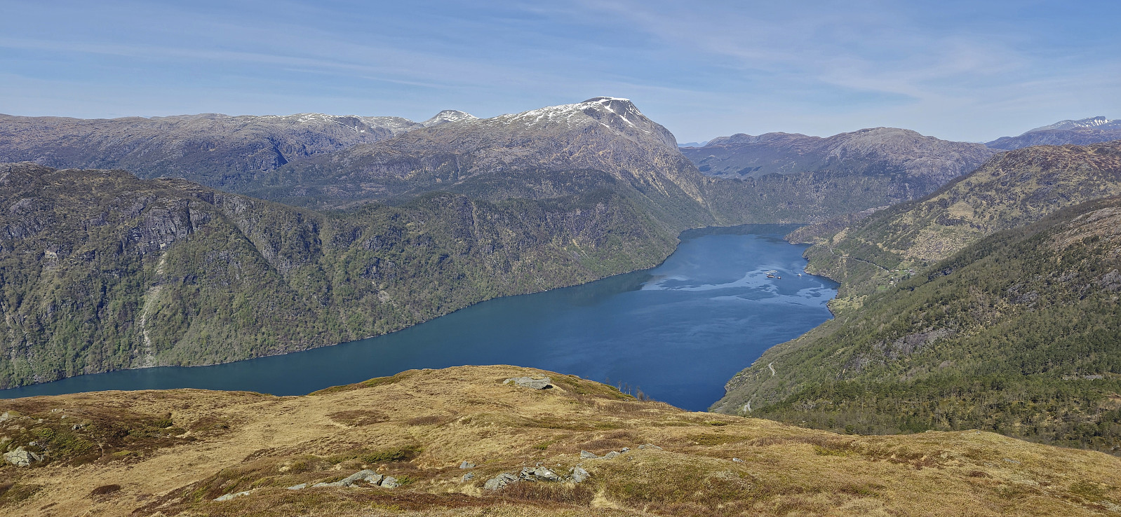
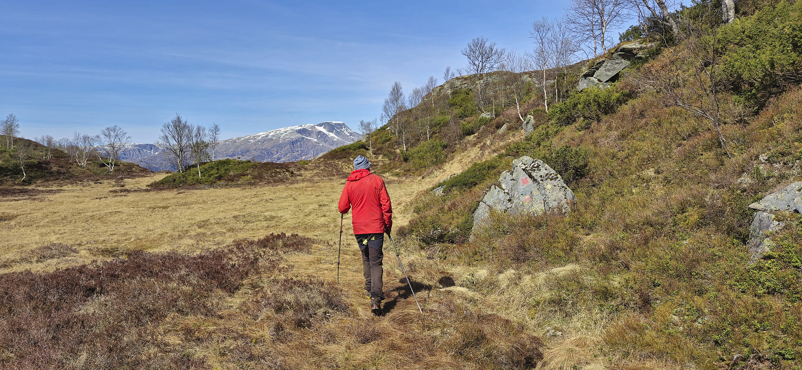
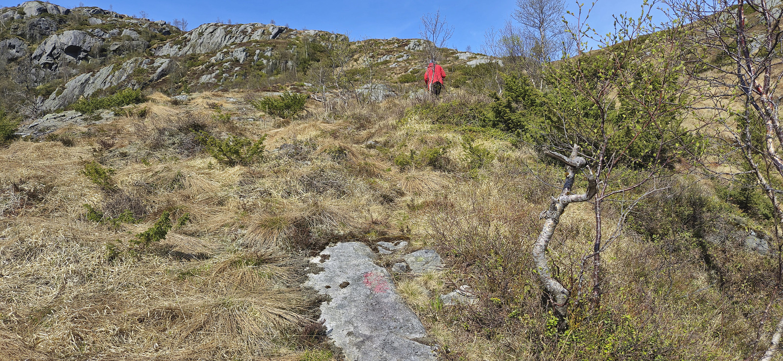
From the car we briefly descended back down the paved road before ascending south along a tractor road up to Vadtjørnane. Here we aimed for Hillesdalsfjell and pretty much followed a straight line towards the summit. We did spot one or two red trail markers on the way, but these were quite faint and of the trail itself we did not really see much evidence. Hence the route has to be described as off-trail but still straightforward and without any real challenges.
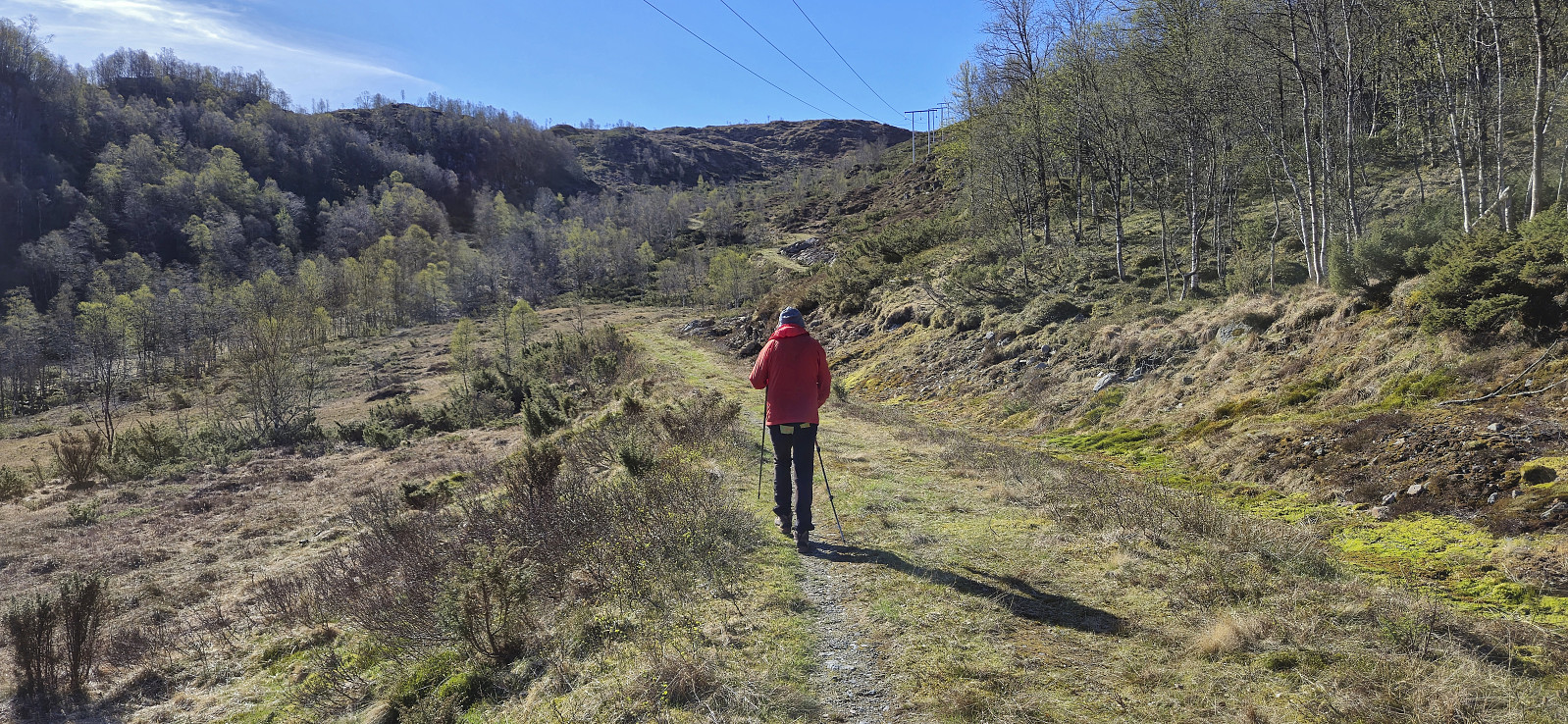
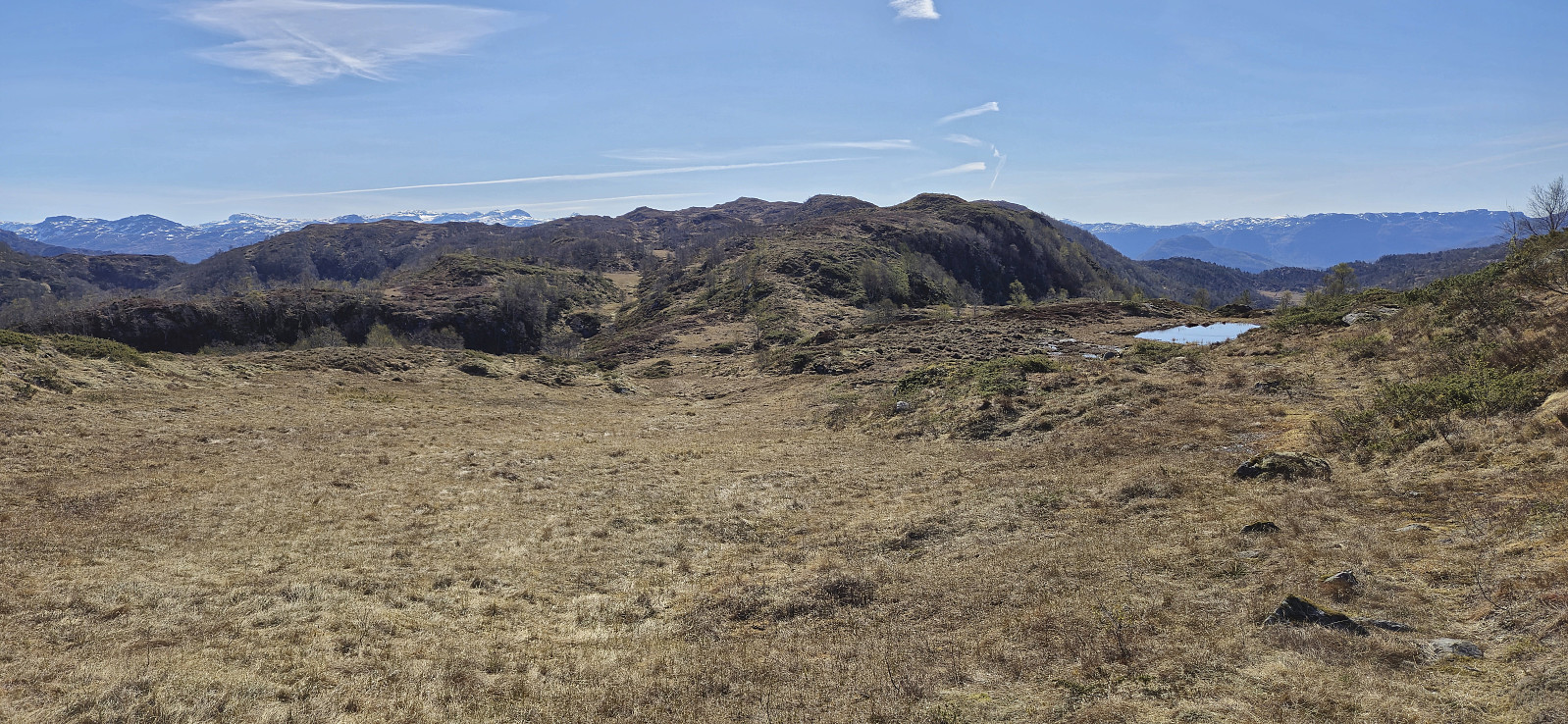
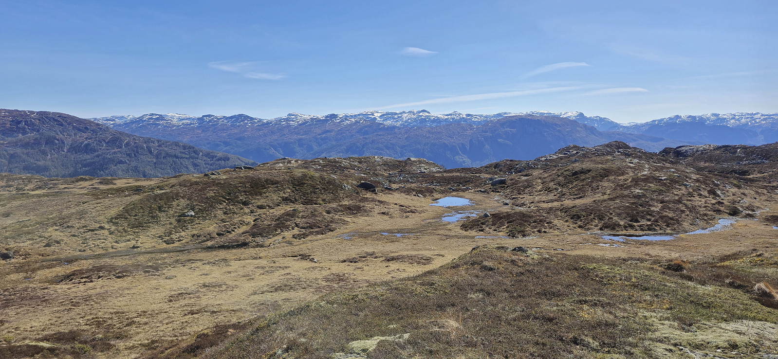
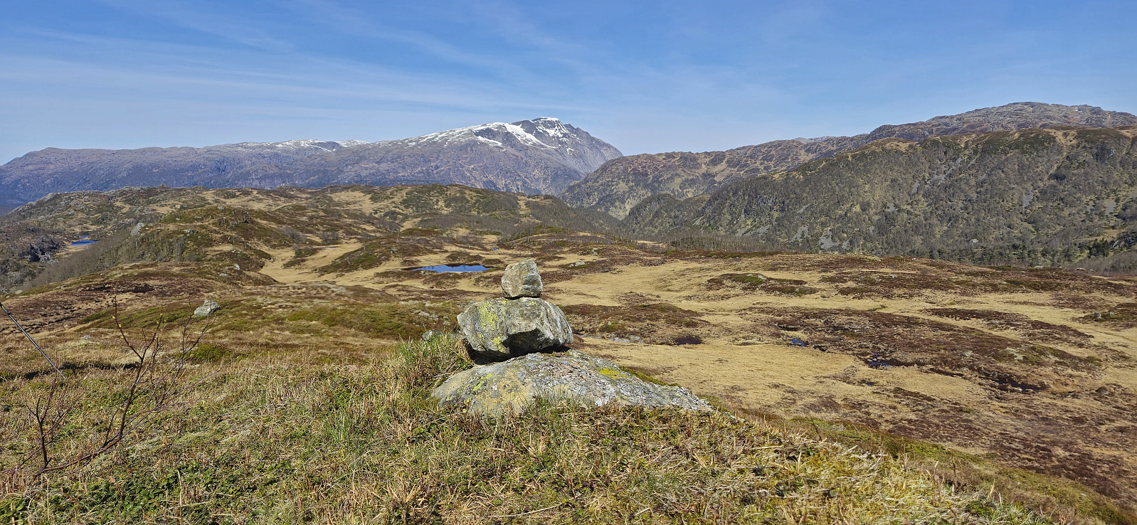
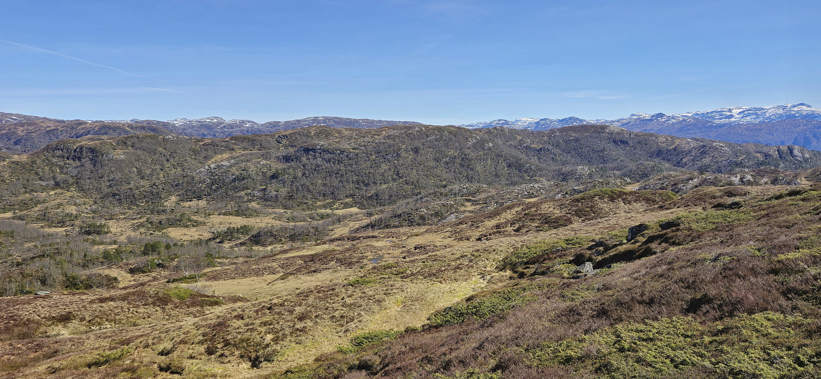
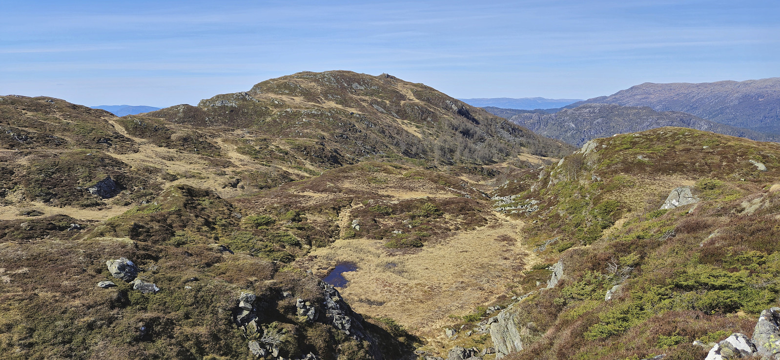
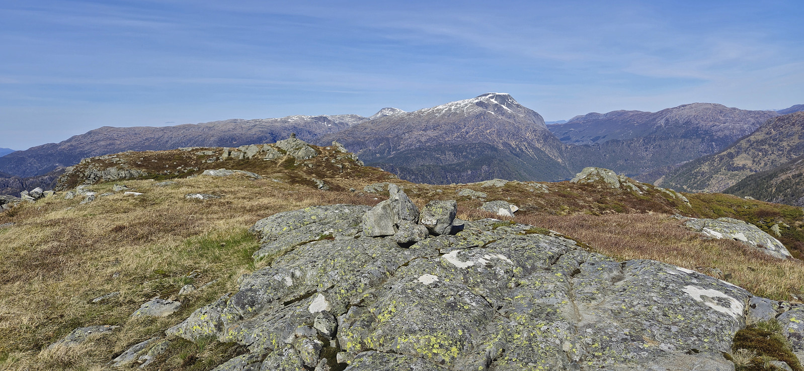
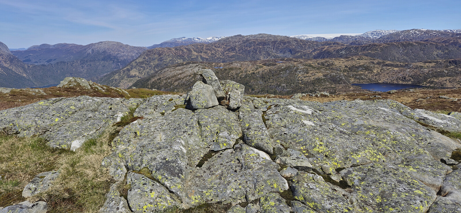
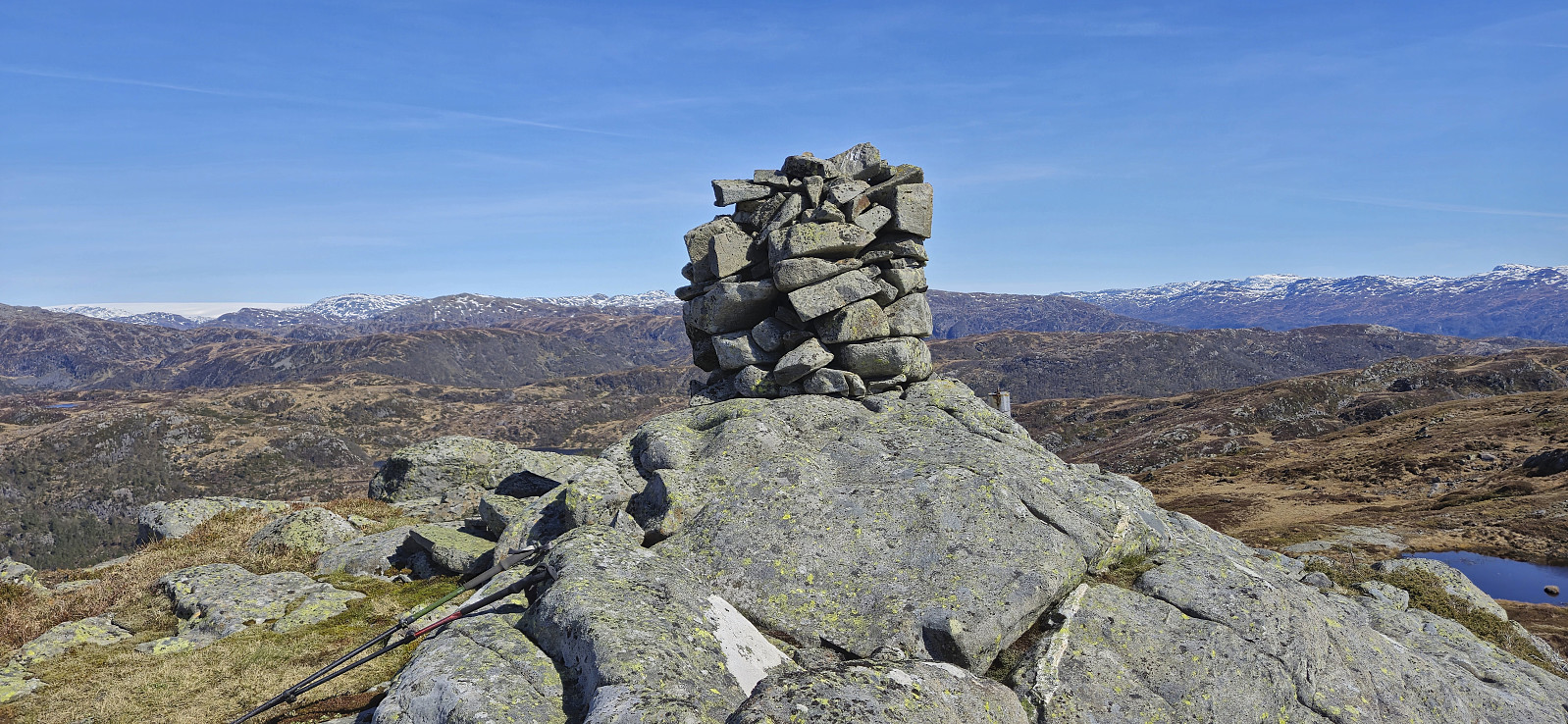
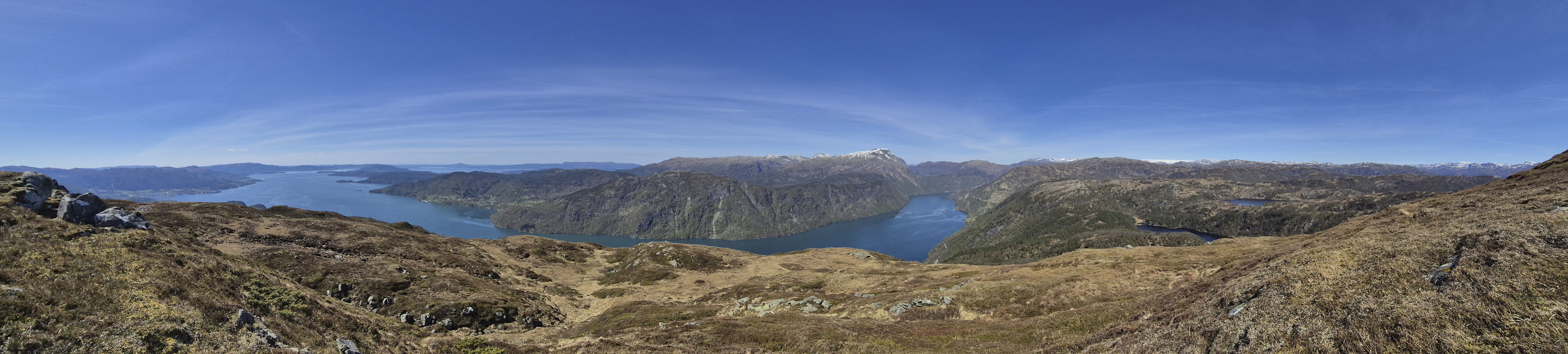
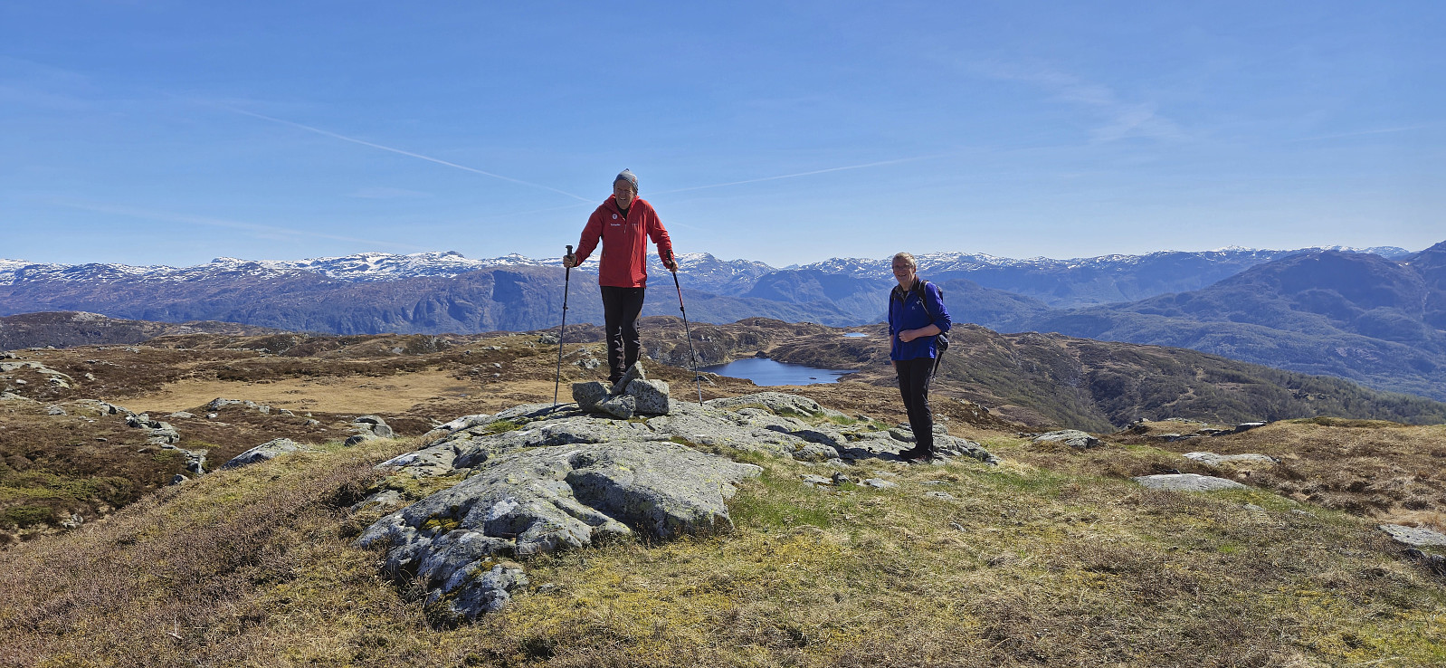
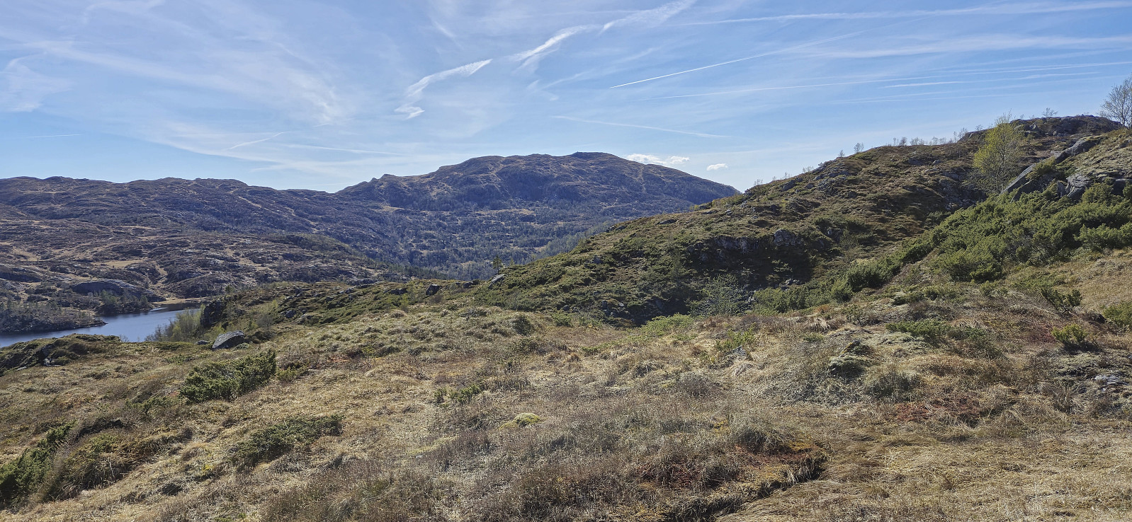
After a couple of pictures at the summit of Hillesdalsfjell we turned our attention to Håfjell. The terrain between these two peaks consisted of lots of small hills that we carefully had to navigate our way around in order to avoid more up and down than necessary. Our route was ok but there may be even better options. The summit of Håfjell consisted of two hills of similar height were the northwestern one with the large cairn is in fact slightly lower than the southeastern one with the much more modest cairn. The hill with the large cairn however provided the best views, so it is still recommended to visit both.
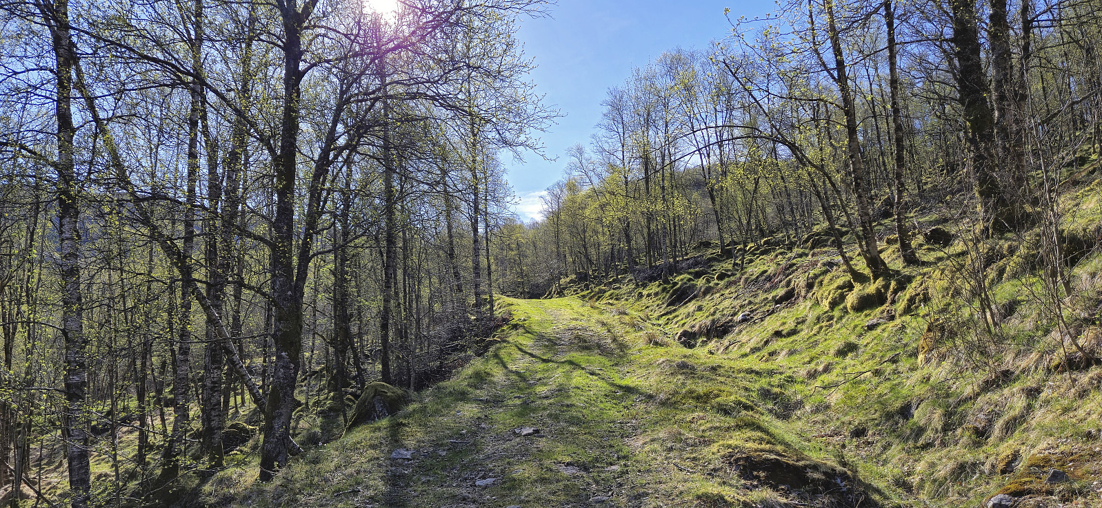
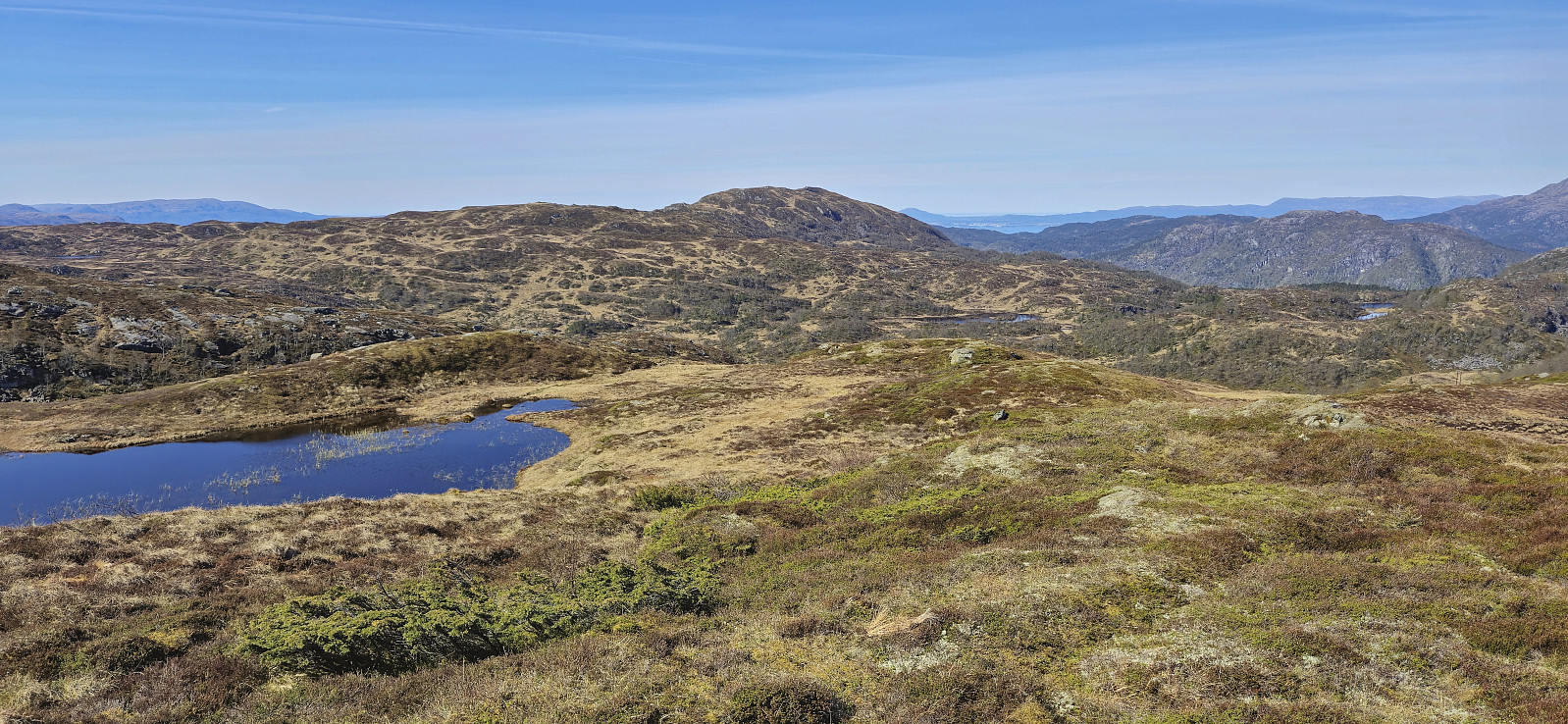
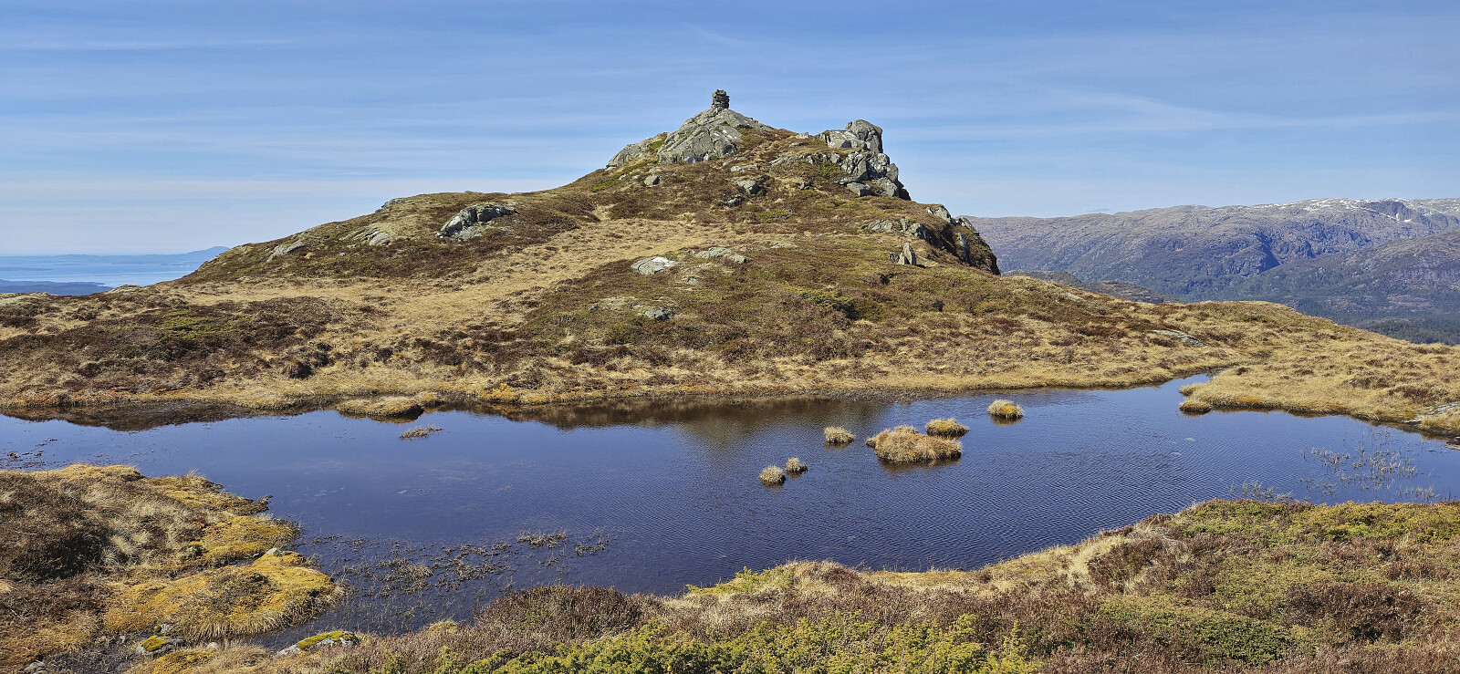
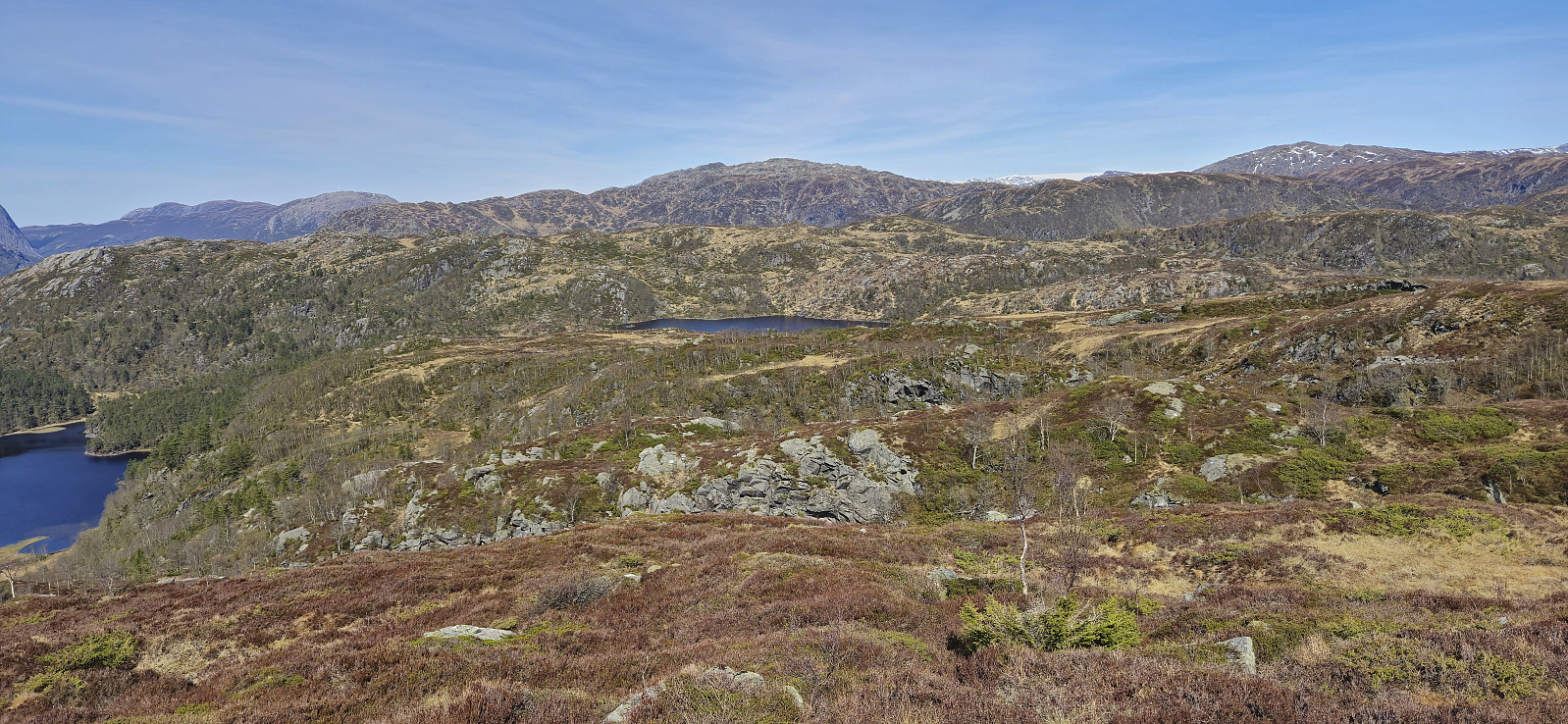
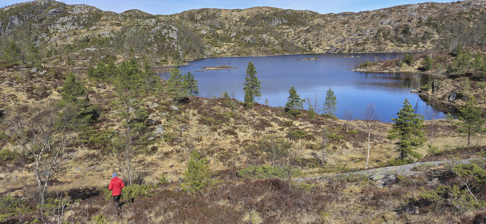
We had a short lunch break next to the cairn before starting our descent, first along the same route and then turning north to Steinsvatnet and in the end reconnecting with our ascent route shortly before the start of the tractor road. The area between Håfjell and Steinsvatnet looked a bit rugged from a distance but turned out to be relatively easy and along the way we even came across a marked trail (or rather a marked route as we once more did not see any trail). The hike was concluded by following the tractor road back to the car.
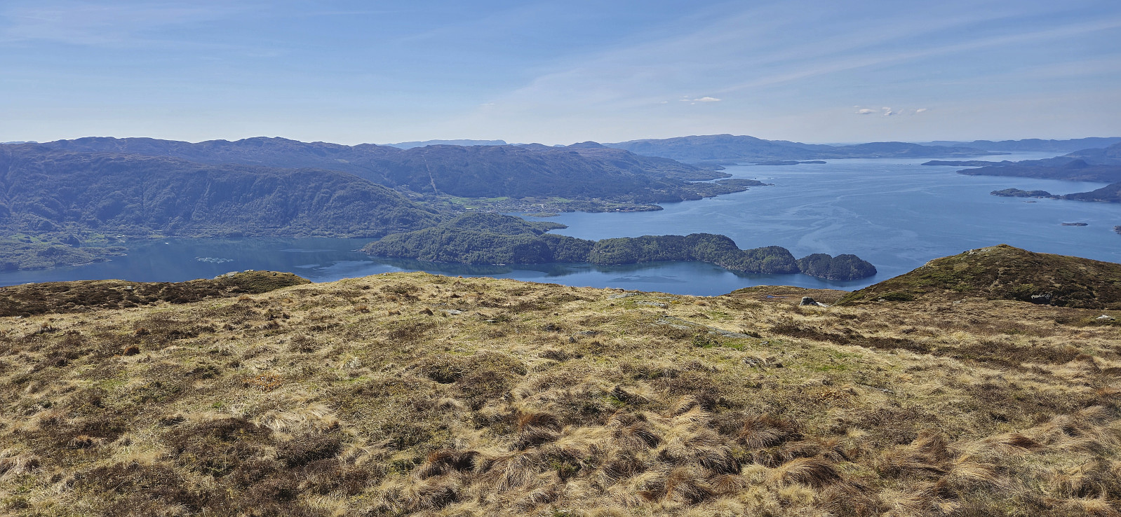
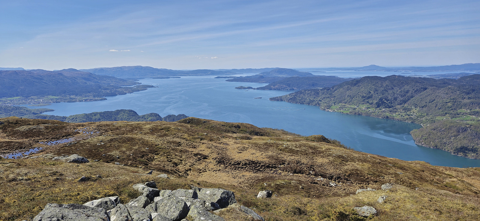
In summary, a nice hike with excellent views that can be highly recommended.
| Starttidspunkt | 26.04.2025 10:10 (UTC+01:00 ST) |
| Sluttidspunkt | 26.04.2025 15:37 (UTC+01:00 ST) |
| Totaltid | 5t 27min |
| Bevegelsestid | 4t 42min |
| Pausetid | 0t 45min |
| Snittfart totalt | 2,7km/t |
| Snittfart bevegelsestid | 3,1km/t |
| Distanse | 14,6km |
| Høydemeter | 972m |

Kommentarer