Skiing: Nordbotnnuten from Mjølfjell (05.04.2025)

| Startsted | Mjølfjell stasjon (628moh) |
|---|---|
| Sluttsted | Mjølfjell stasjon (628moh) |
| Turtype | Fjellskitur |
| Turlengde | 9t 31min |
| Distanse | 25,5km |
| Høydemeter | 1317m |
| GPS |
|
| Bestigninger | Nordbotnnuten (1471moh) | 05.04.2025 14:12 |
|---|---|---|
| Andre besøkte PBE'er | Mjølfjell stasjon (628moh) | 05.04.2025 08:59 |
| Urlandsstølen hengebro (vinterstengt!) (568moh) | 05.04.2025 09:10 | |
| Hellene bro (605moh) | 05.04.2025 09:45 | |
| Veseto bro (845moh) | 05.04.2025 11:53 |
Skiing: Nordbotnnuten from Mjølfjell
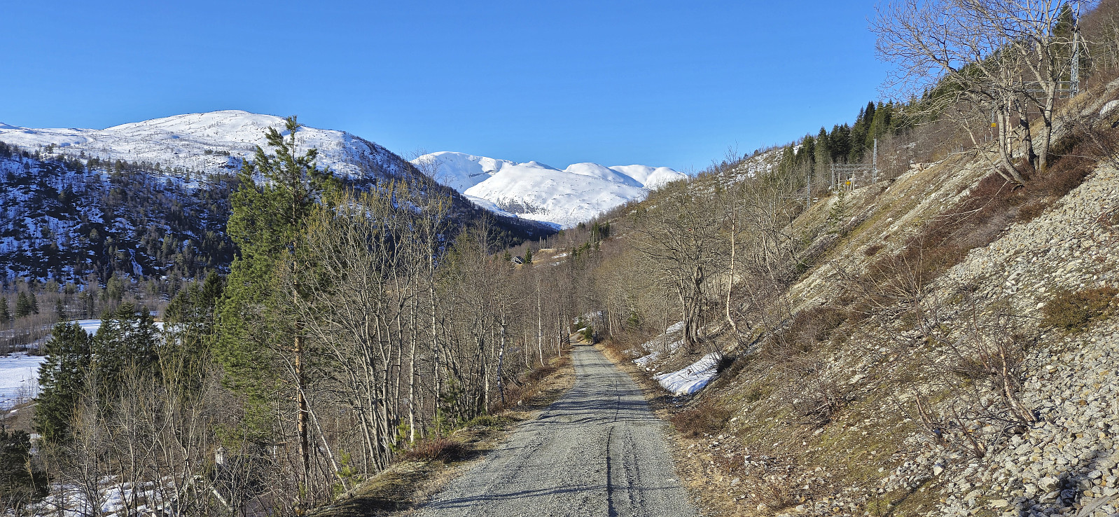
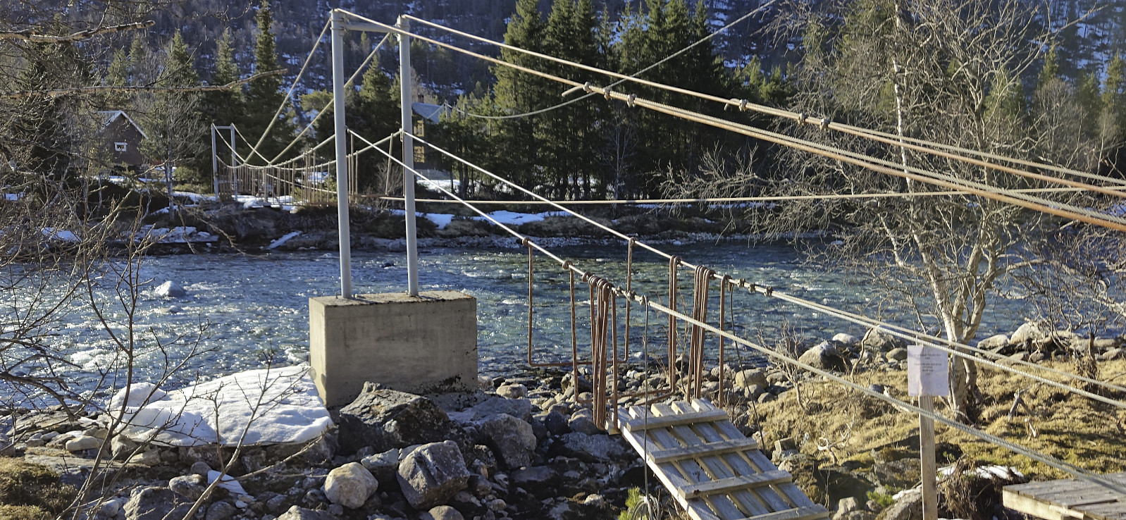
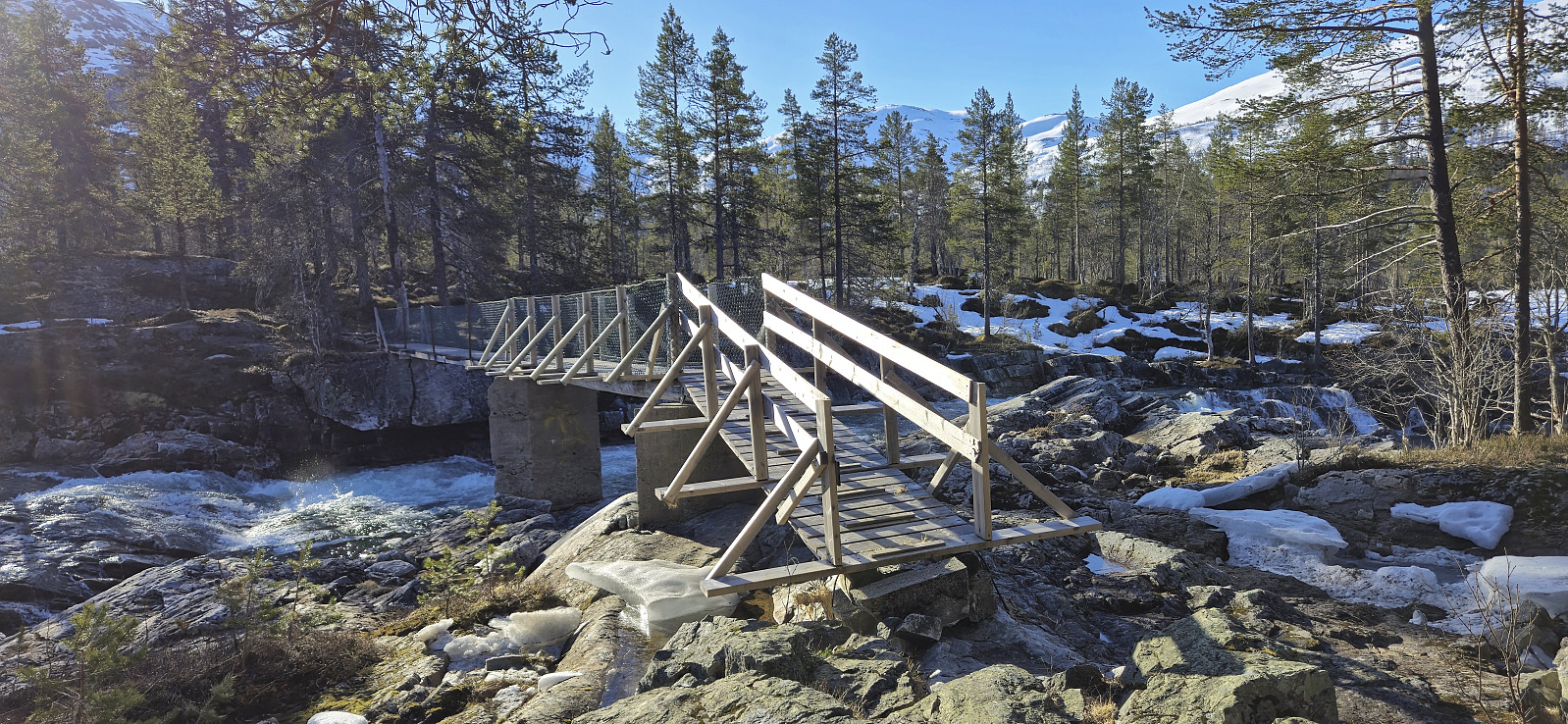
I got up early Saturday morning to catch the first train from Bergen to Mjølfjell where I arrived at 09:00. My plan had been to walk south from the station and cross the river via the bridge to Urlandsstølen to start my ascent to Nordbotnnuten. When getting there I however quickly realized that this would not be possible. The bridge had been taken down for the winter! I therefore had to come up with an alternative plan to get to the other side.
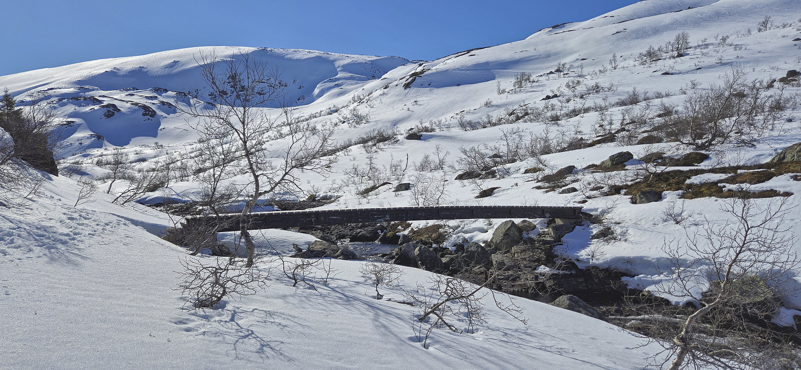
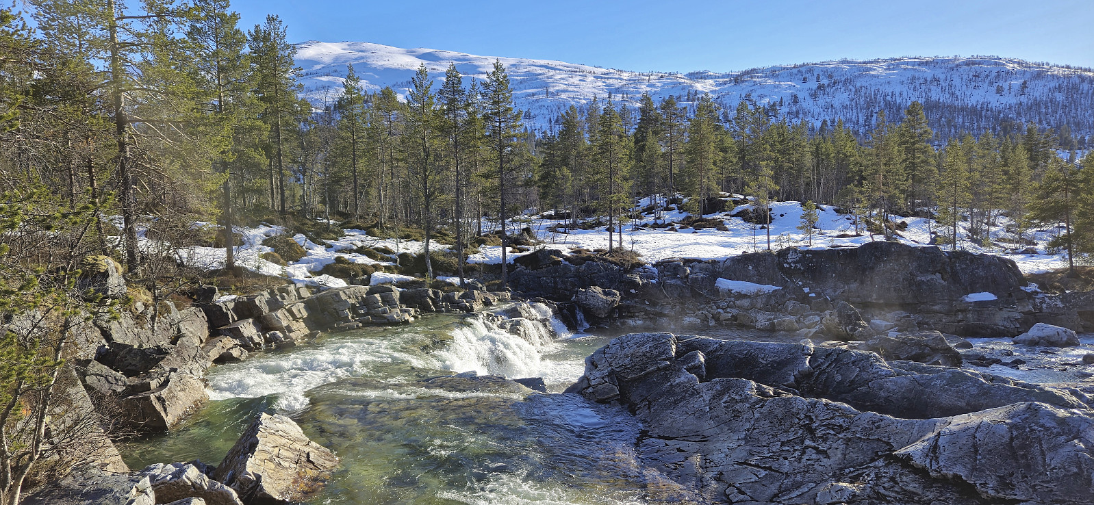
I found two options: the bridge to Hagen (around 1.5 km walk to the southwest) or the bridge at Hellene (around 2 km walk to the east). While the former was a shorter walk and definitely included a permanent bridge, I still decided on Hellene as the terrain from there to Rundavatnet (to connect with my planned ascent route to Nordbotnnuten) looked easier. Upon arriving at Hellene I was therefore very happy to find that this bridge was in fact there and I could thus easily cross to the other side.
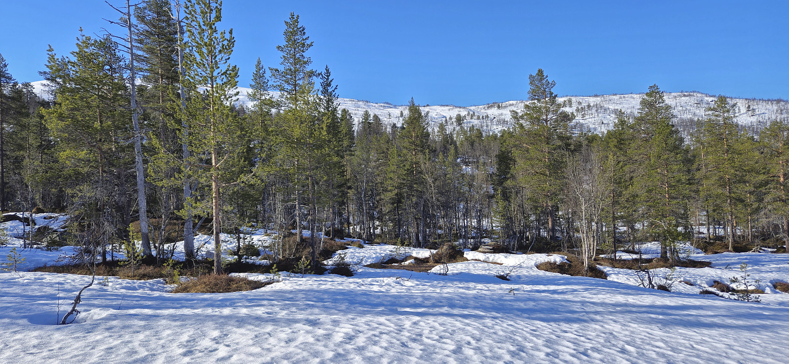
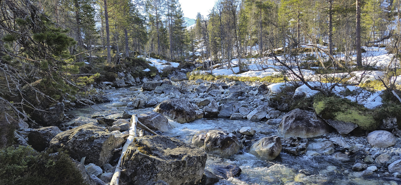
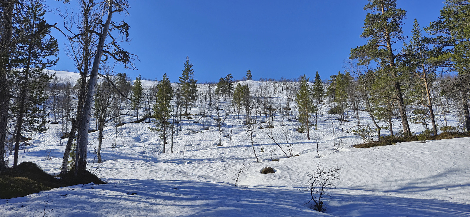
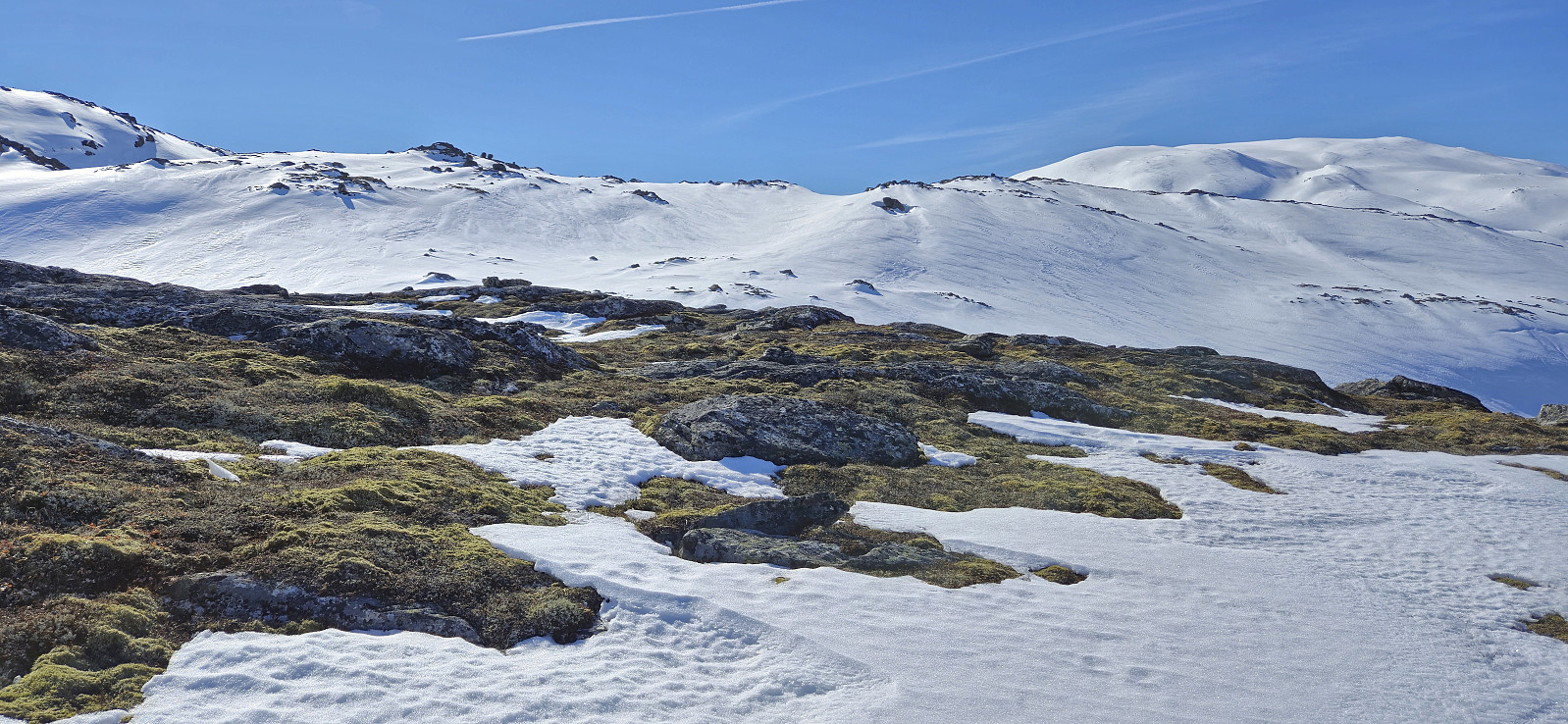
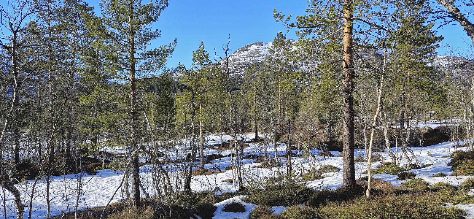
Still not a lot of snow, so I carried my skis a while longer. This was overall straightforward but did include a second river/stream crossing: Mjølbotno. This one was much easier though with the main challenge being icy rocks. But by spending some time to find the best place to cross, I safely made it to the other side almost without getting wet.
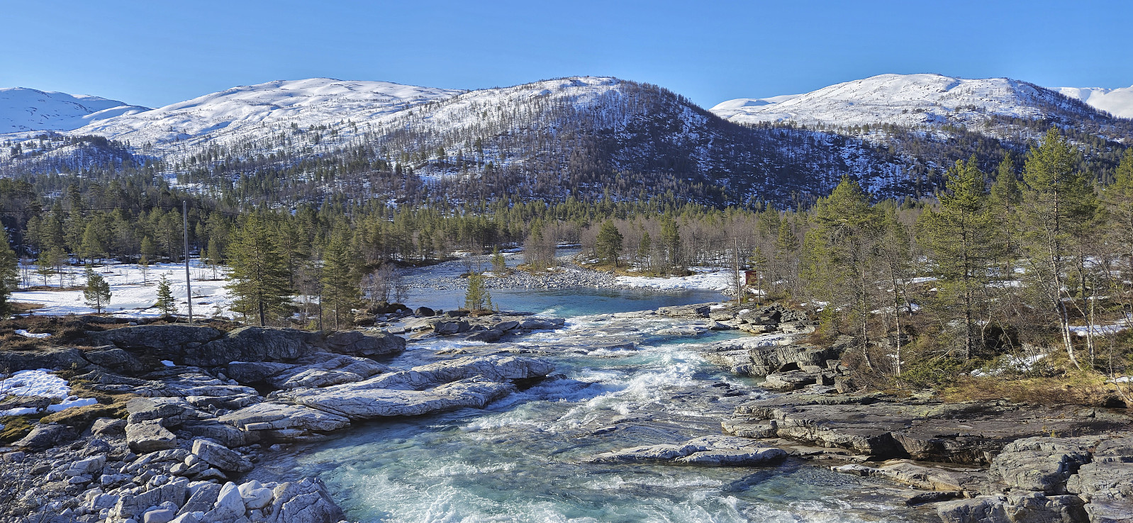
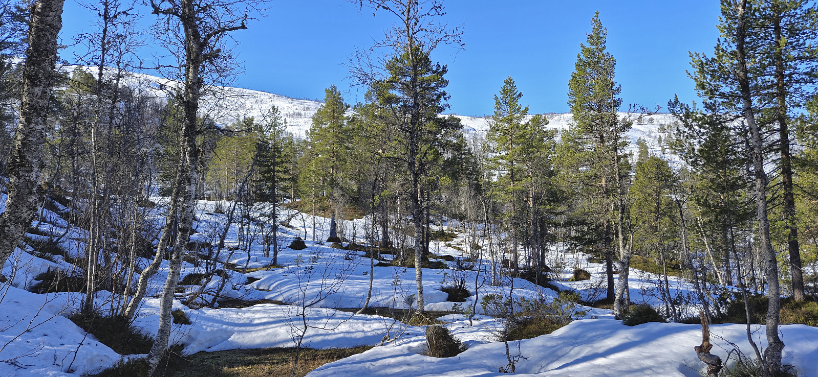
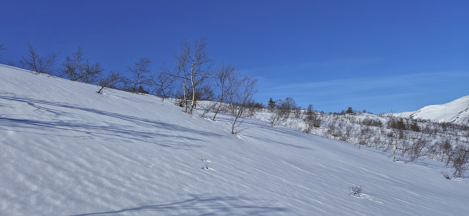
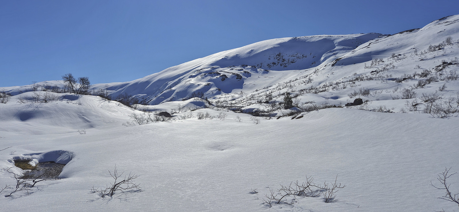
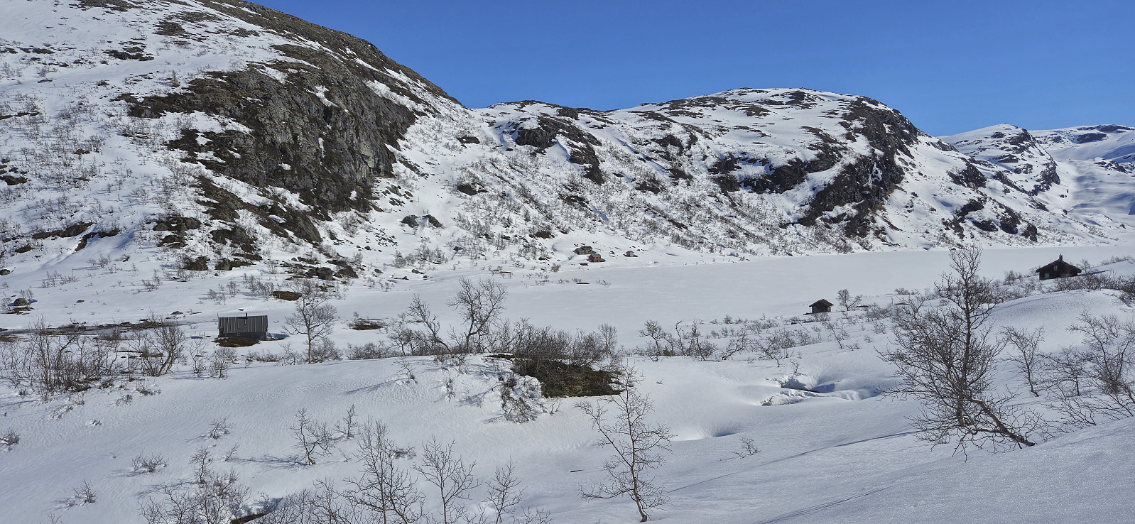
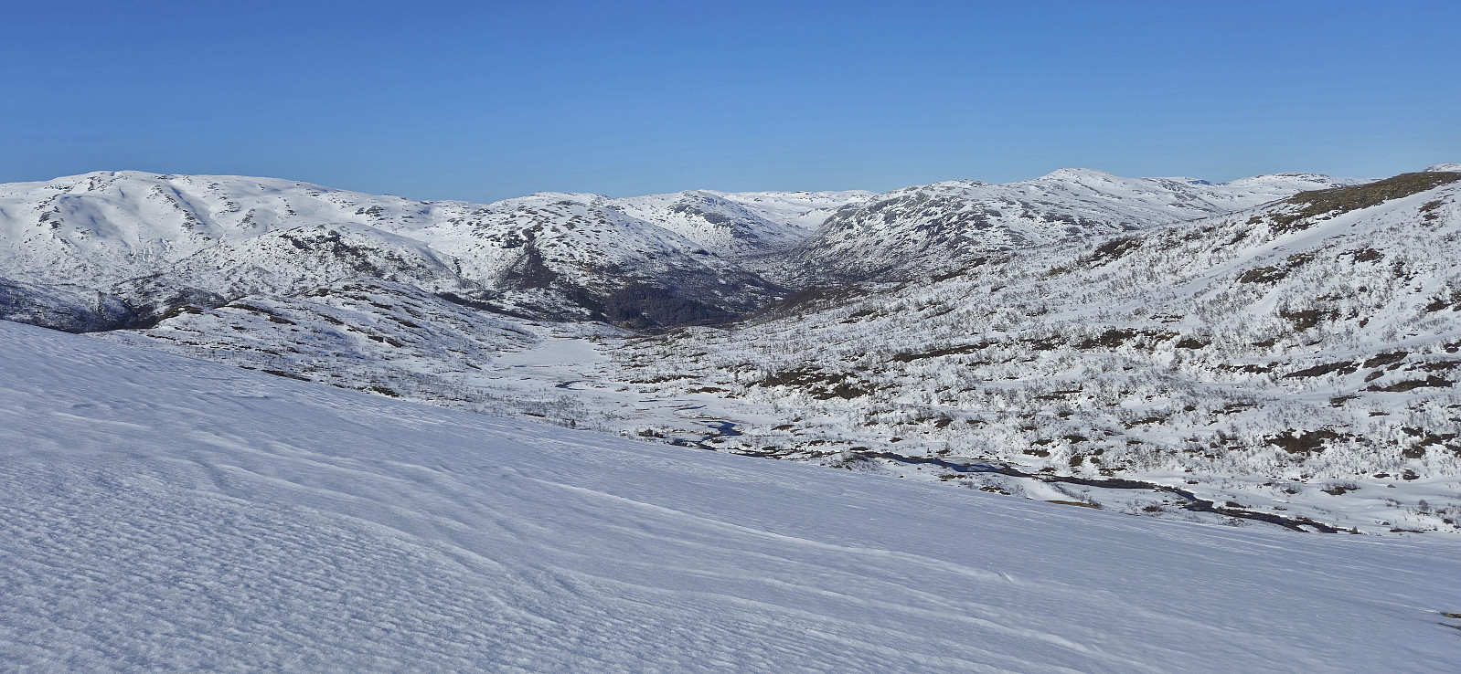
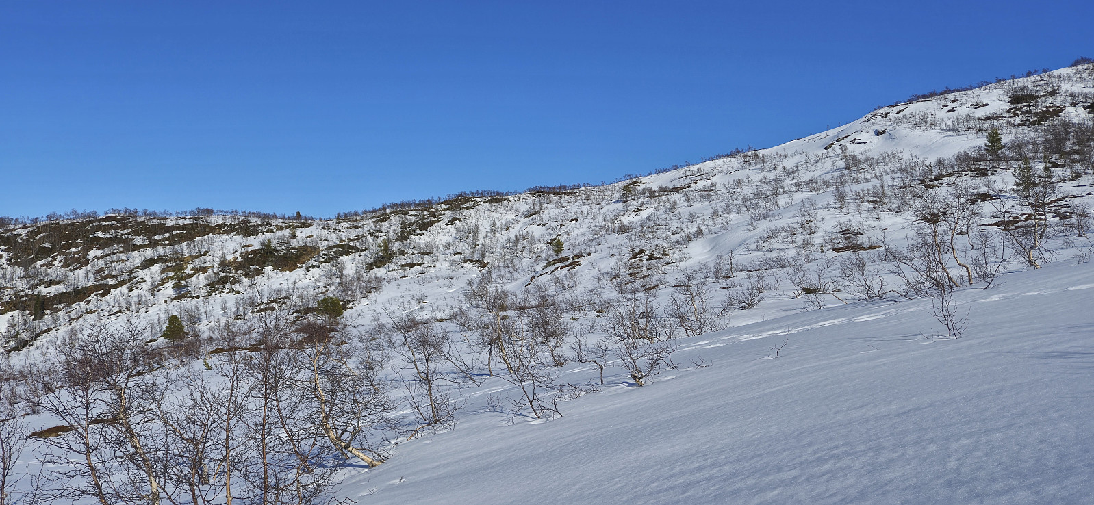
At around 700 meters, and roughly 1.5 hours after getting off the train, I finally put on the skis and started the ascent to Skaret on the northwestern ridge coming down from Vesetfjellet. The ascent did not present any challenges, however the snow conditions were not great, more ice than snow. I then skied down to Rundavatnet and followed the summer route to Veseto bro. Here I had a short break before continuing the ascent.
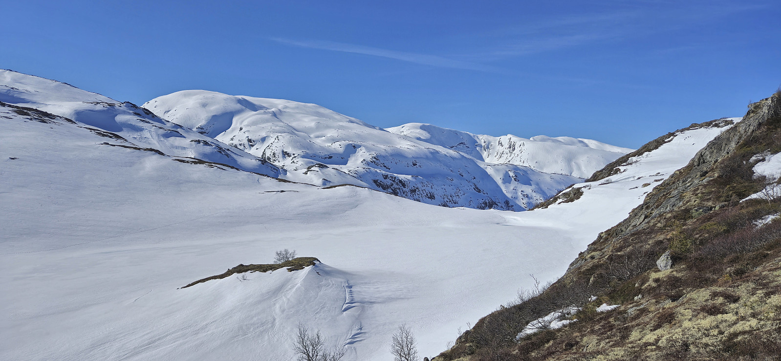
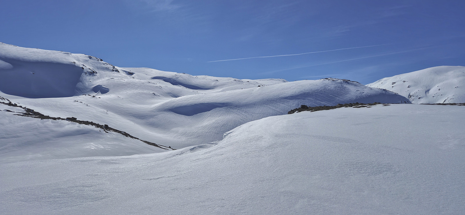
I had hoped that the snow conditions would improve as I got higher up, but sadly this was not the case, and while the climbing skins helped, the steel edges also had to be utilized. On the way to the summit there were a couple of shorter sections without any snow. Getting to the summit required a bit of careful route-finding to avoid the steeper areas but I had planned well in advance and only had to make minor adjustments.
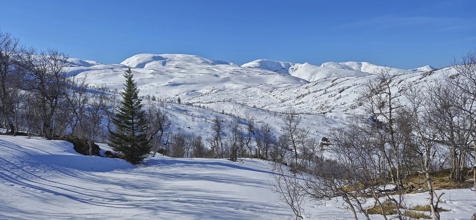
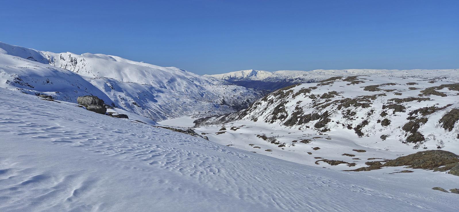
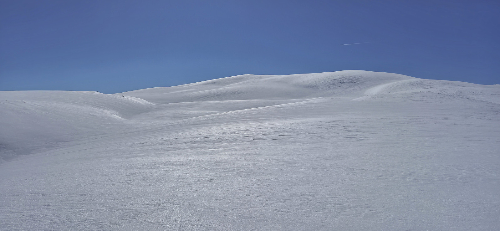
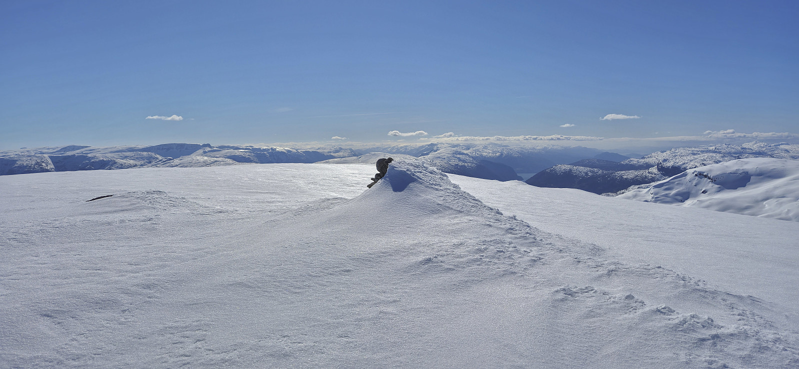
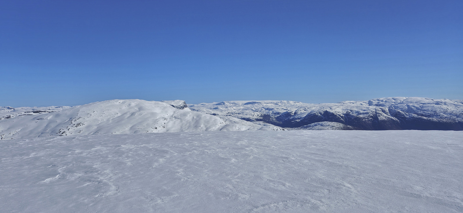
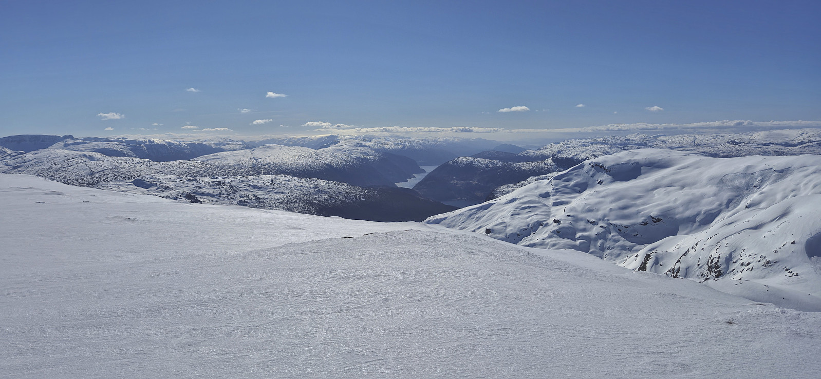
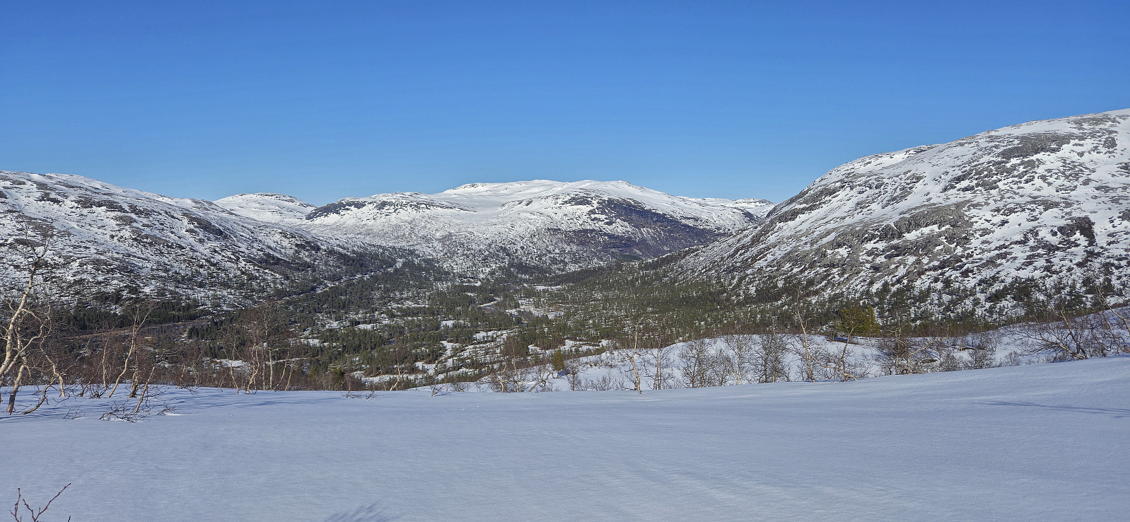
The relatively flat summit area provided excellent views that I enjoyed during a late lunch break in next to no wind. By now it was pretty clear that my optimistic plan of catching the 16:15 train was not going to work, as it was already passed 14:00. I had planned for this however and should have no trouble making the 19:07 train instead.
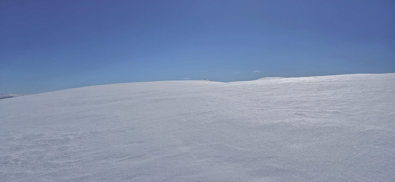
Usually when skiing, it is easy to follow the ascent tracks when later descending but given the conditions I had left almost no imprints in the hard snow and actually had to confer with the GPS on several occasions to make sure that I was following the same route. The hard snow also resulted in a descent that was much less enjoyable than I had hoped.
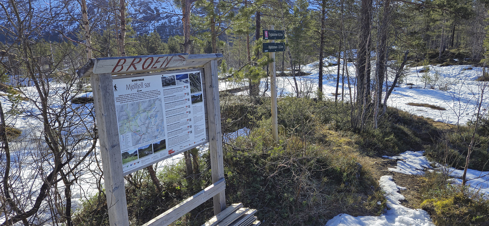
Back at Veseto bro I considered making the short detour to BT-hytten på Vesete but decided that with the extra detours due to the missing bridge, the trip was already long enough. I followed more or else the same route back to Hellene bro although with a slightly different crossing of Mjølbotno. All that remained was then the walk along the paved road to the train station, where I arrived with around half an hour to spare.
To conclude, skiing to Nordbotnnuten from the train station at Mjølfjell can be done without too much difficulty, altough it is probably much easier as a hike in the summer when the bridge to Urlandsstølen can be used. When looking closer at the map it may actually have been an advantage that the bridge was not there, as the following ascent along Veseto to Rundavatnet might not have been that easy on the icy snow.
| Starttidspunkt | 05.04.2025 08:59 (UTC+01:00 ST) |
| Sluttidspunkt | 05.04.2025 18:32 (UTC+01:00 ST) |
| Totaltid | 9t 31min |
| Bevegelsestid | 7t 13min |
| Pausetid | 2t 17min |
| Snittfart totalt | 2,7km/t |
| Snittfart bevegelsestid | 3,5km/t |
| Distanse | 25,5km |
| Høydemeter | 1316m |

Kommentarer