Bergshovda (29.03.2025)

| Startpunkt | Myklebustvegen (360m) |
|---|---|
| Endpunkt | Myklebustvegen (360m) |
| Tourcharakter | Bergtour |
| Tourlänge | 1h 09min |
| Entfernung | 2,5km |
| Höhenmeter | 213m |
| GPS |
|
| Besteigungen | Bergshovda (569m) | 29.03.2025 |
|---|
Bergshovda
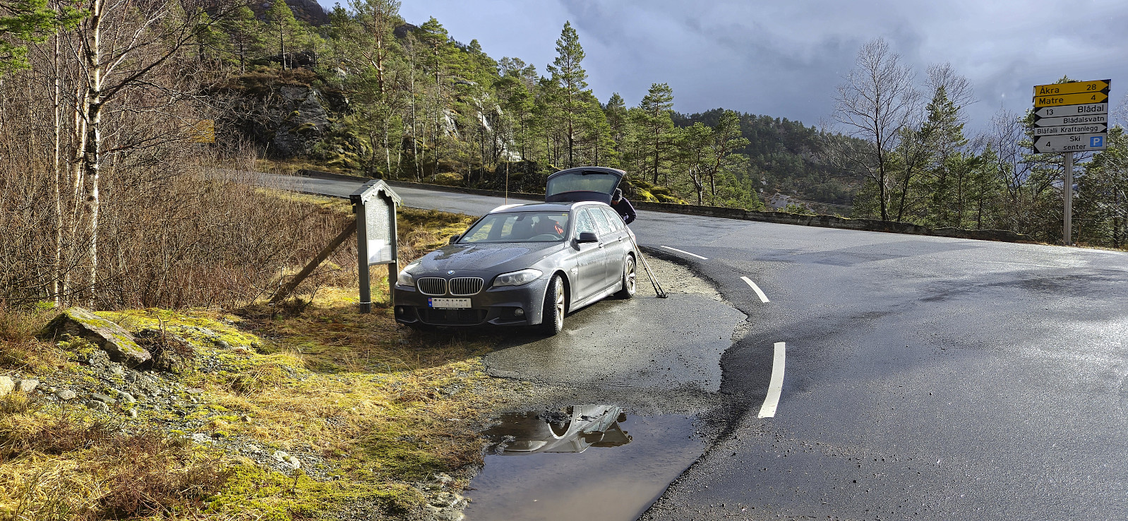
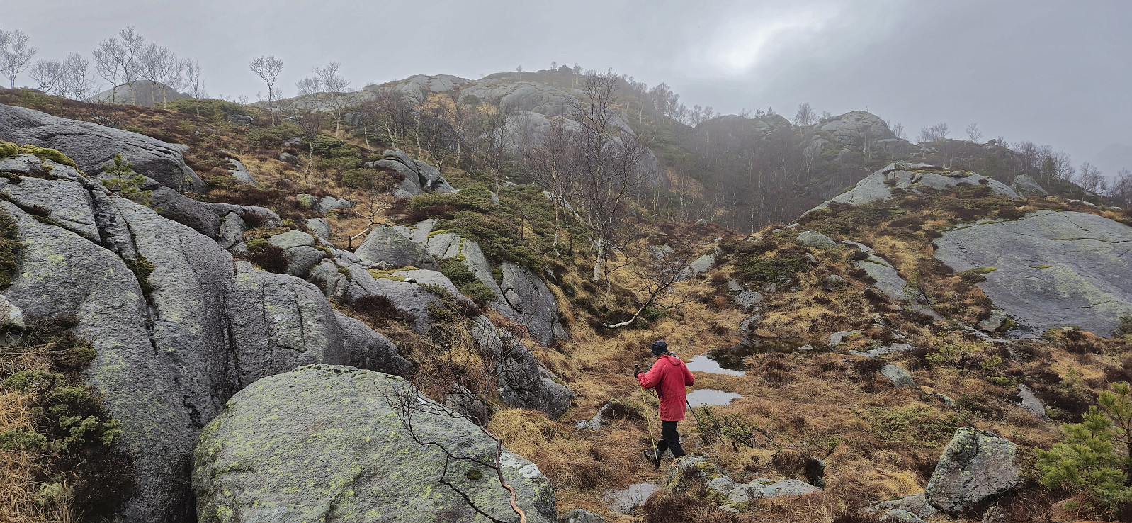
After completing the ascent of Åsen, we drove the short distance northeast to the crossroads of Matersvegen, Myklebustvegen and Blådalsvegen for our final ascent of the day, namely Bergshovda. We left the car next to the road and from there tried to follow Pål’s trip report. However, as it did not contain a GPS-track we had to rely on our best attempts at interpreting his written description.
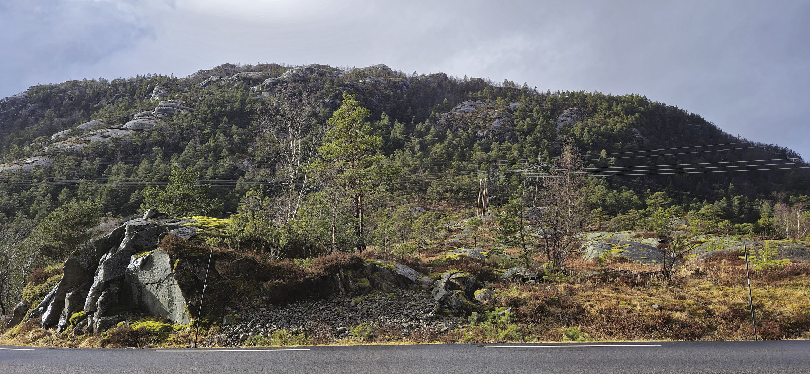
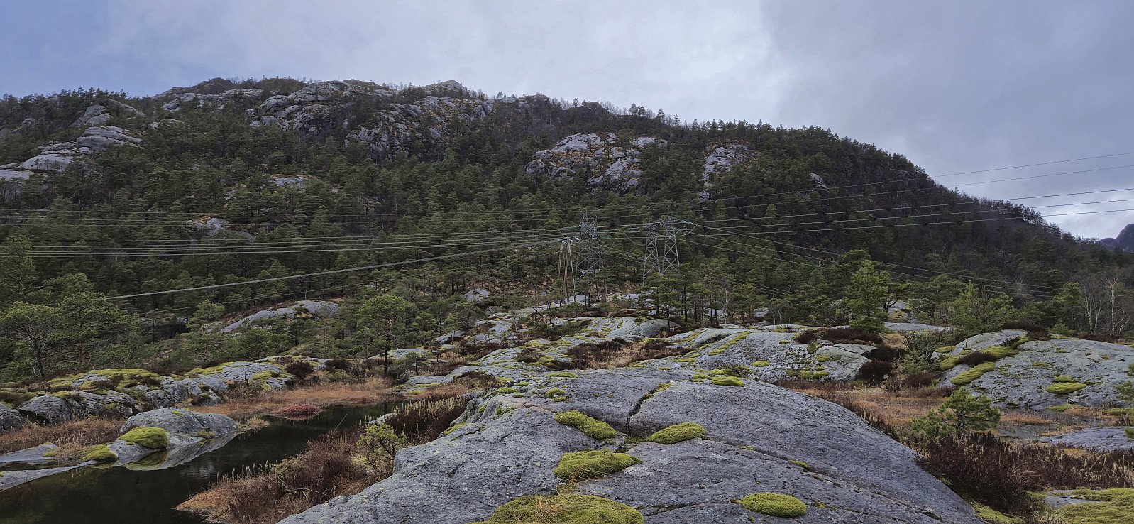
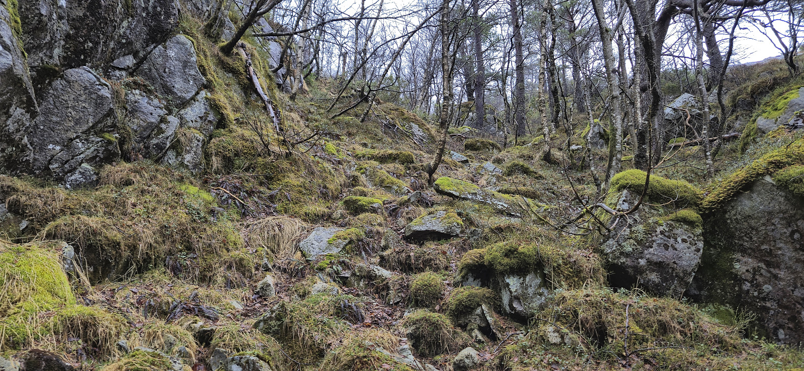
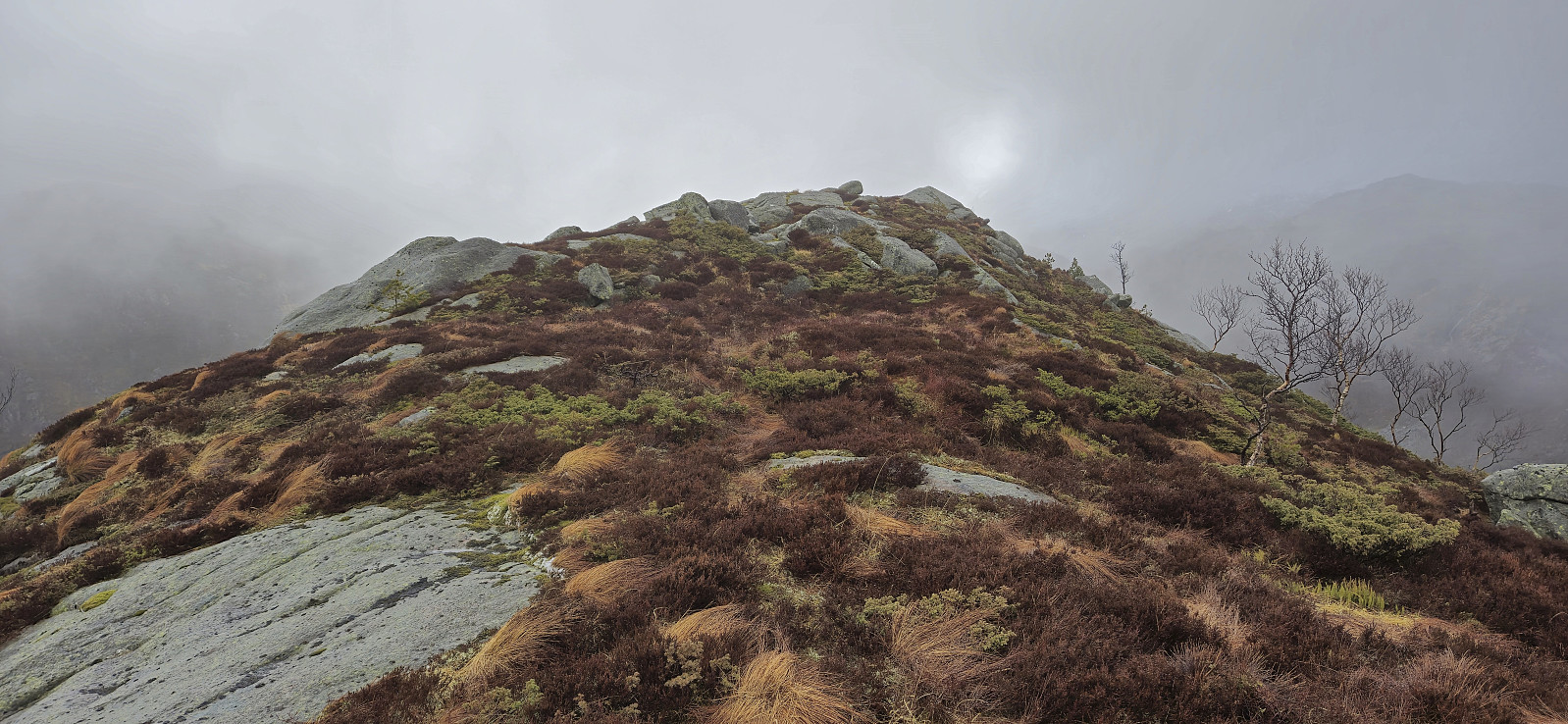
This started out well enough and after first heading northwest without a trail we came across the trail mentioned by Pål and then proceeded to try to follow it. Calling it a trail seemed like an exaggeration though as it looked more like a deer track, but perhaps one of the more frequently used ones. We do not know whether we actually followed the exact same route from there on though, but at least our trail/deer track made sure that we got to the summit without any real challenges.
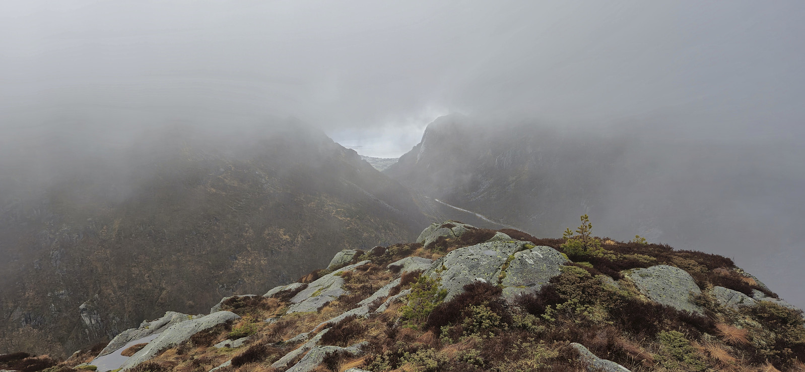
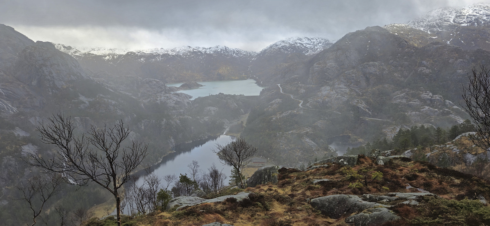
The summit itself was unmarked but easy to locate. It could potentially provide nice views, but all we got today was a glimpse of Omvikadalen with the fjord in the background. As we had a ferry to catch at Årsnes, we did not stay long before descending along more or less the same route, noting that whenever we deviated from our ascent route we immediately got into more complicated terrain.
Back in the car, we quickly got ready for the drive back to Årsnes, where we arrived with plenty of time to catch the 18:30 ferry to Gjermundshamn. Takk for turen, Petter!
| Startzeitpunkt | 29.03.2025 17:36 (UTC+01:00 SZ) |
| Endzeitpunkt | 29.03.2025 18:46 (UTC+01:00 SZ) |
| Gesamtzeit | 1h 09min |
| Zeit in Bewegung | 1h 05min |
| Pausenzeit | 0h 4min |
| Gesamtschnitt | 2,2km/h |
| Bewegungsschnitt | 2,3km/h |
| Entfernung | 2,5km |
| Höhenmeter | 213m |

Benutzerkommentare