Tindafjellet from Fjellhaugen Skisenter (29.03.2025)

| Start point | Fjellhaugen Skisenter p-plass (494m) |
|---|---|
| Endpoint | Fjellhaugen Skisenter p-plass (494m) |
| Characteristic | Hillwalk |
| Duration | 2h 14min |
| Distance | 4.4km |
| Vertical meters | 455m |
| GPS |
|
| Ascents | Tindafjellet (939m) | 29.03.2025 |
|---|---|---|
| Visits of other PBEs | Fjellhaugen Skisenter p-plass (492m) | 29.03.2025 |
Tindafjellet from Fjellhaugen Skisenter
Warning: This hike includes a steep off-trail ascent/descent. Read the report carefully.
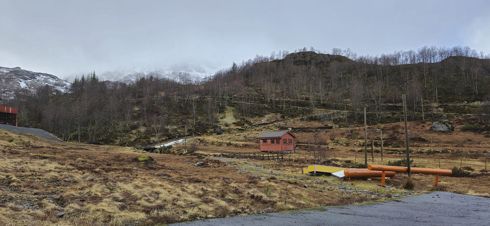
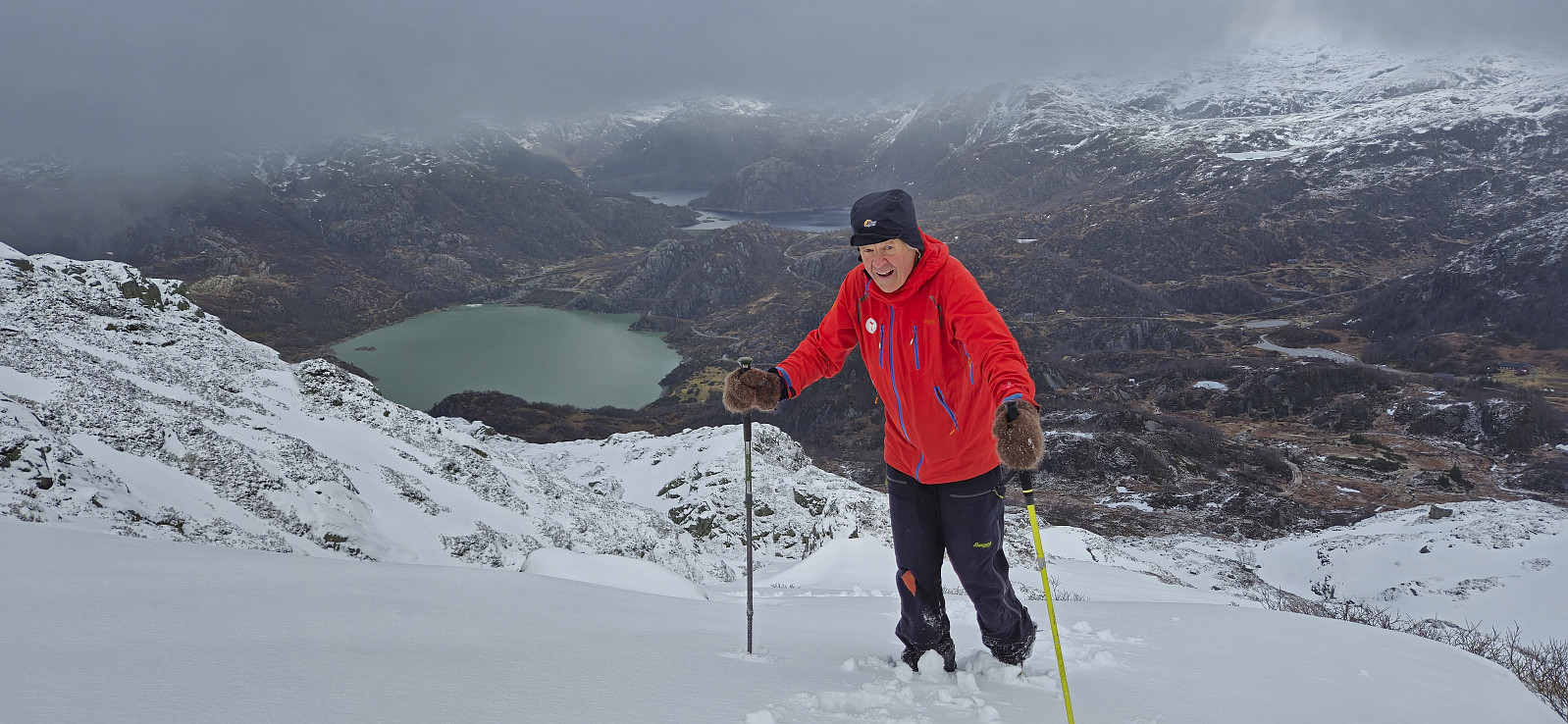
After our ascent of Ingahogg, and quick stop in the car for Petter to change to warmer gloves, we once more left the parking lot at Fjellhaugen Skisenter but this time heading southwest towards Tindafjellet. First, we partially followed the roads used for cross-country skiing before heading off-trail towards the summit.
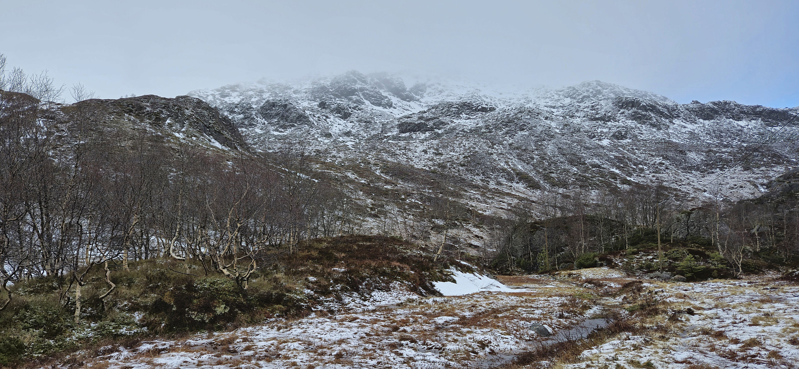
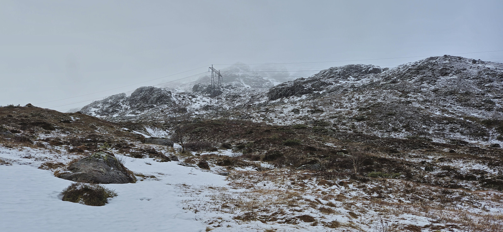
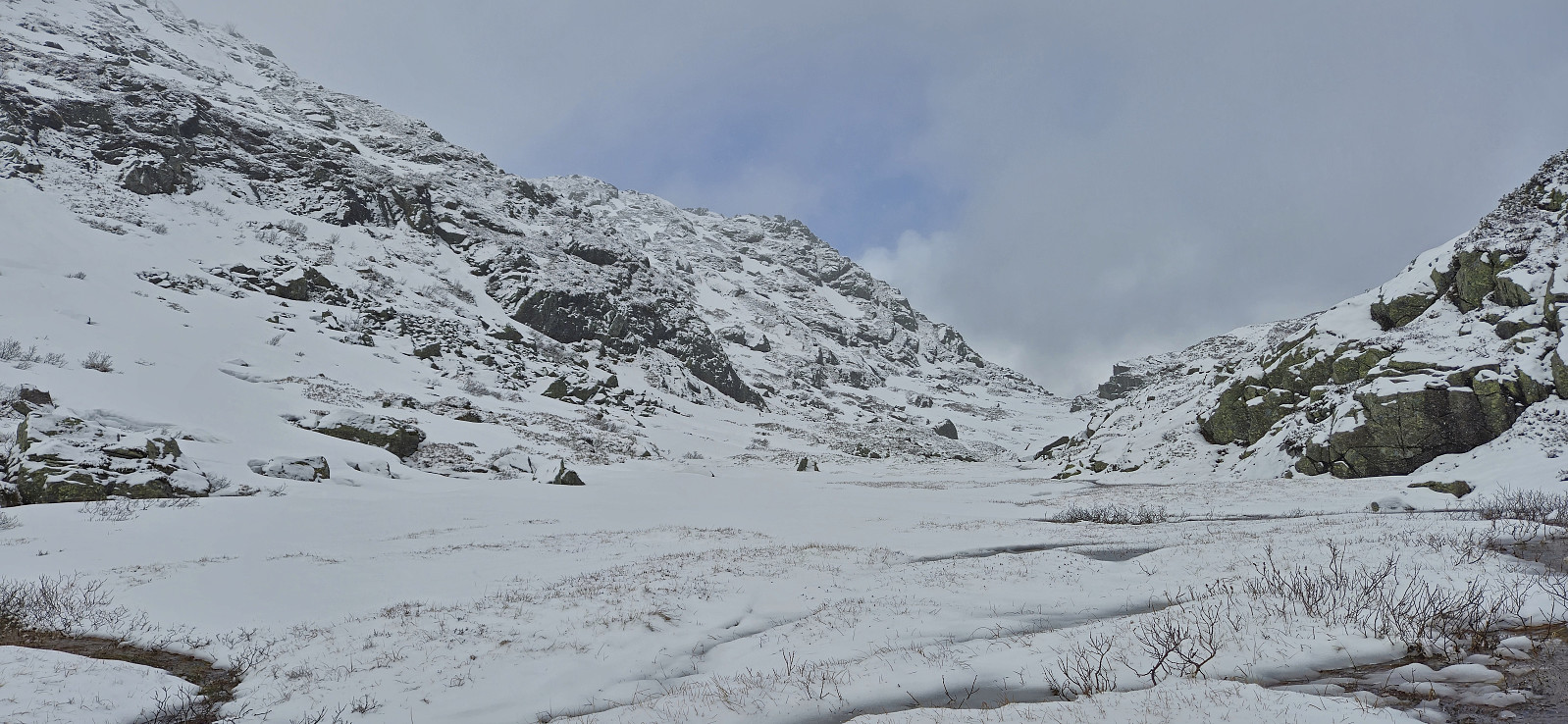
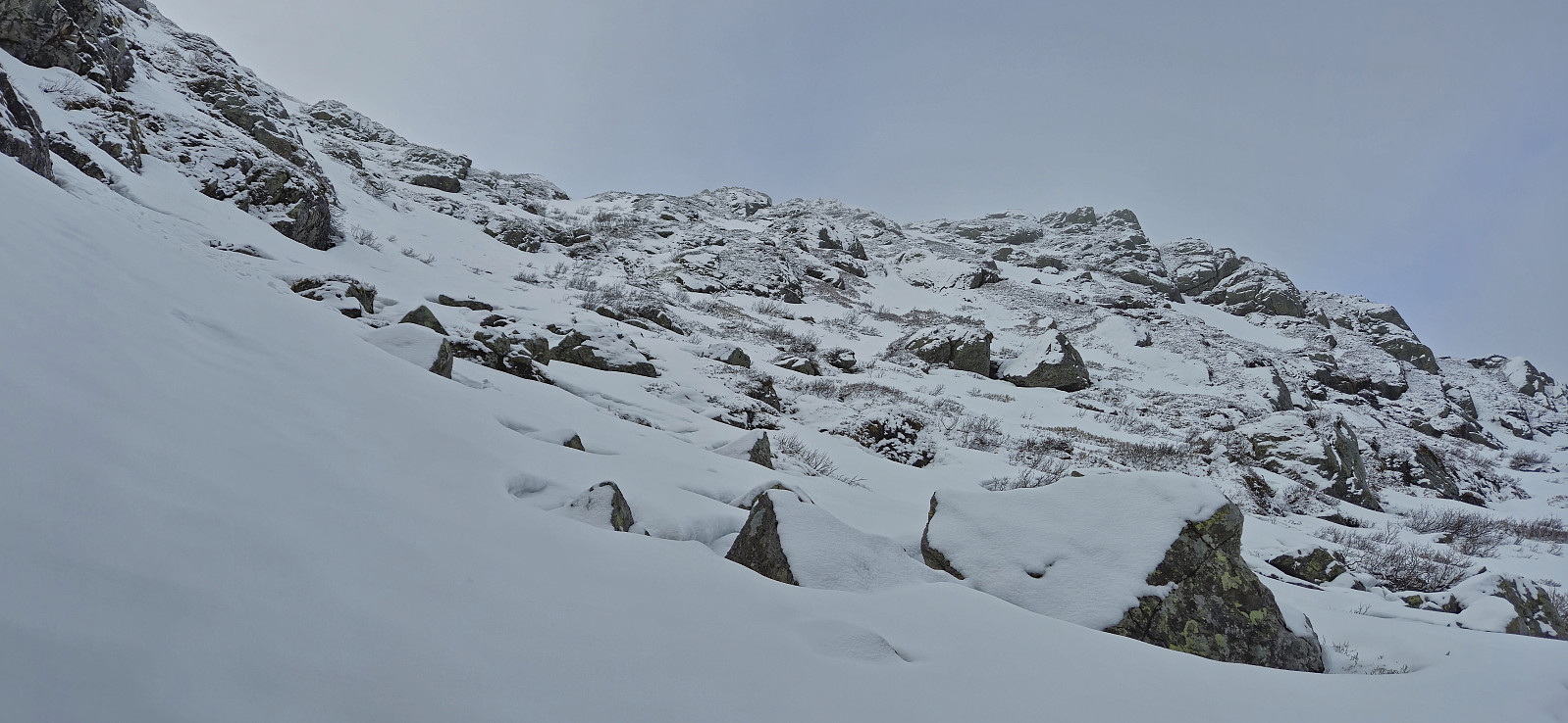
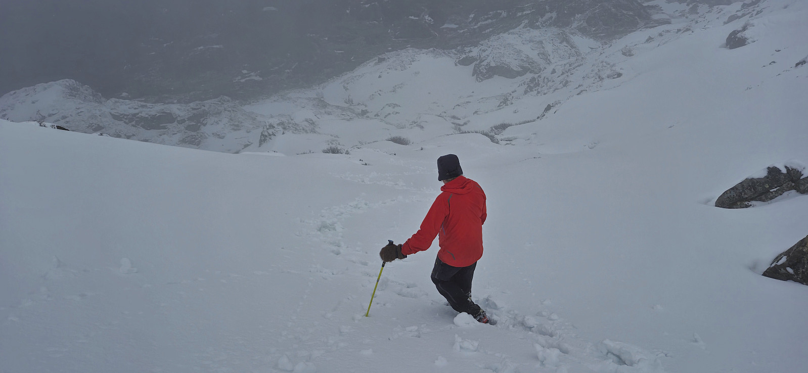
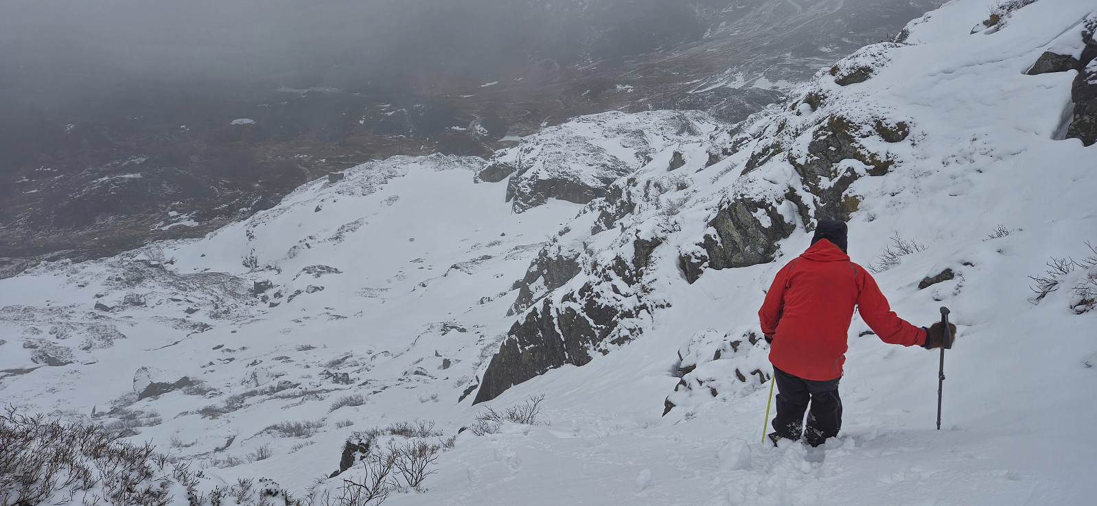
Getting up to around 725 meters was straightforward. Here we shortly followed a relatively flat area north before turning west and completing the final ascent to the summit. This included a rather steep but not very long section that is perhaps more challenging under different conditions and that may also be prone to small avalanches. Today there was however the perfect combination of not enough snow for avalanches but enough such that we could make our own footholds in the soft now.
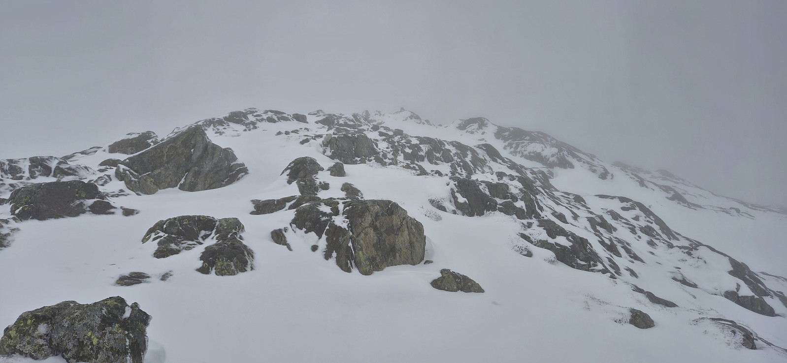
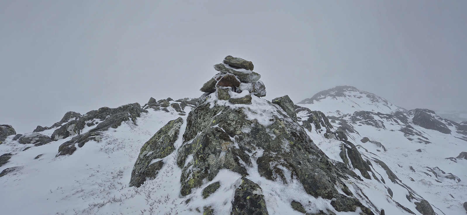
By proceeding in a controlled manner we made it safely to the top of the steep section and could then easily complete the remaining distance to the summit. A more modest cairn here than on Ingahogg, however, as we were still inside the dense fog, the views were pretty much the same. After a couple of pictures we therefore began our descent along the same route, making sure to once more take it extra slow during the steep section.
Back in the car, we drove the short distance west to the top of the pass between Indre Matre and Opstveit. Here we parked for a short ascent of Åsen.
| Start date | 29.03.2025 13:27 (UTC+01:00 DST) |
| End date | 29.03.2025 15:41 (UTC+01:00 DST) |
| Total Time | 2h 14min |
| Moving Time | 2h 00min |
| Stopped Time | 0h 13min |
| Overall Average | 2.0km/h |
| Moving Average | 2.2km/h |
| Distance | 4.4km |
| Vertical meters | 454m |

User comments