Stølsnuten from Sandvin (22.03.2025)

| Utgångspunkt | Sandvin (89m.ö.h.) |
|---|---|
| Slutpunkt | Sandvin (89m.ö.h.) |
| Turtyp | Fjällvandring |
| Tidsåtgång | 4t 04min |
| Avstånd | 8,3km |
| Höjdmeter | 738m |
| GPS |
|
| Bestigningar | Stølsnuten (712m.ö.h.) | 22.03.2025 13:48 |
|---|---|---|
| Besök av andra PBE:er | Storenuten utsiktspunkt (687m.ö.h.) | 22.03.2025 13:23 |
| Lauvås (559m.ö.h.) | 22.03.2025 14:19 |
Stølsnuten from Sandvin
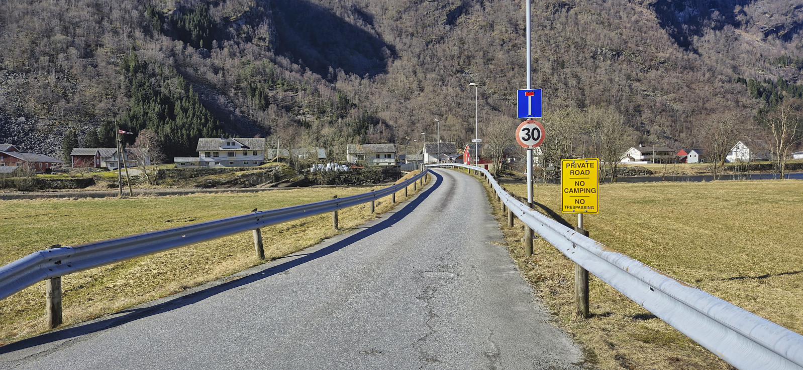
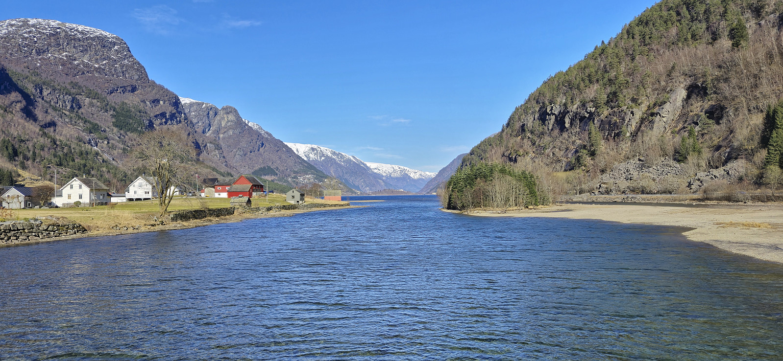
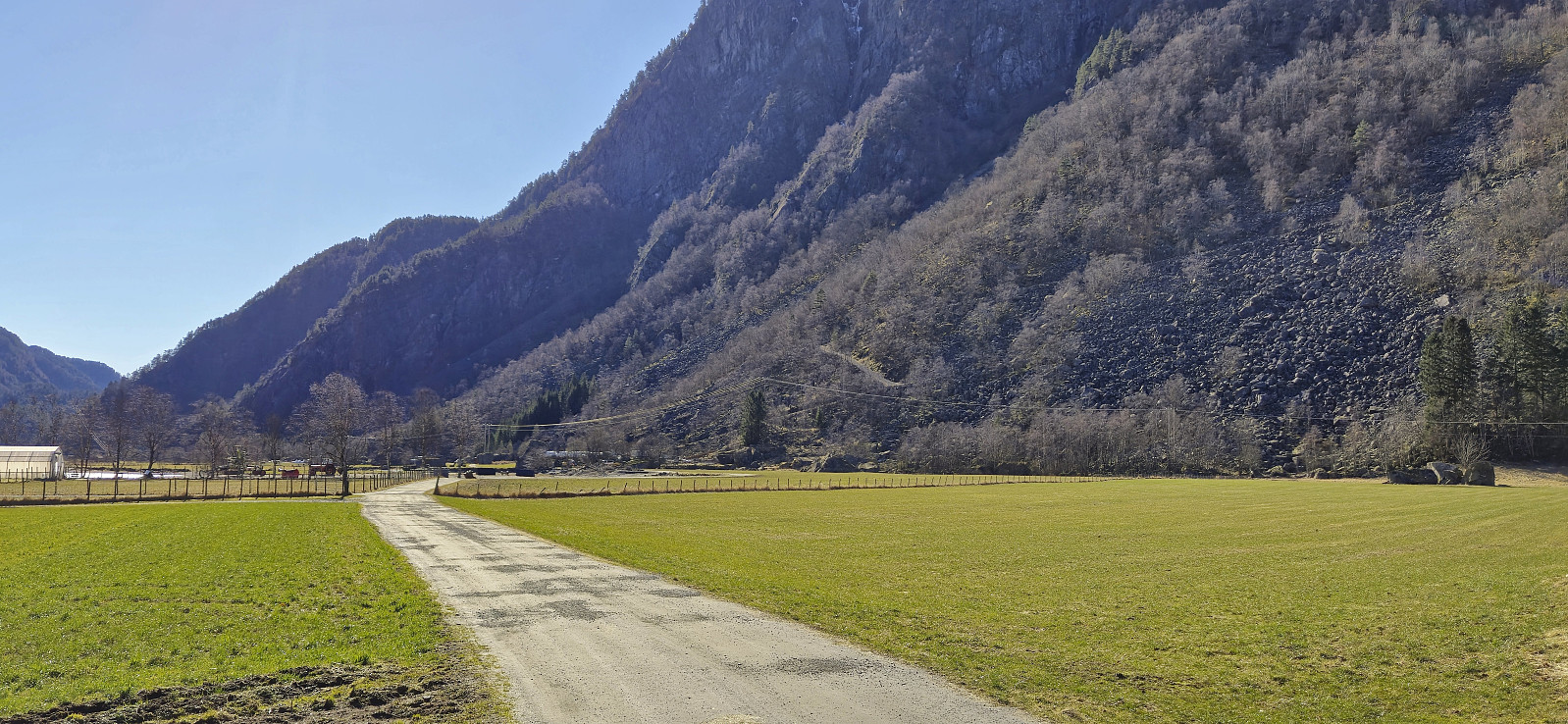
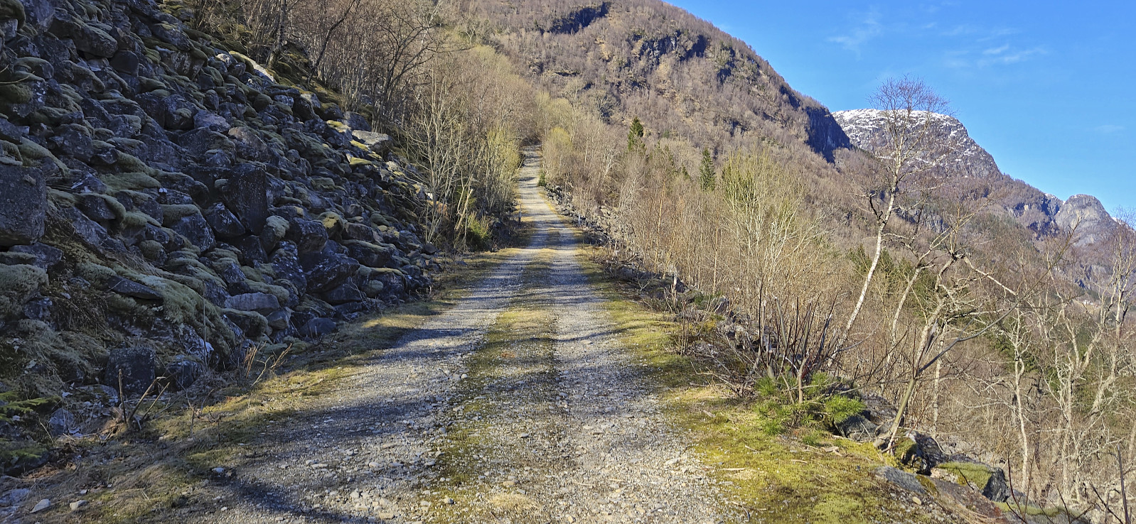
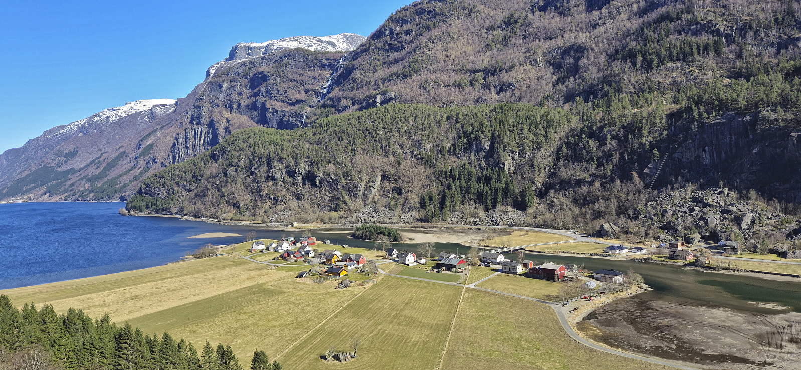
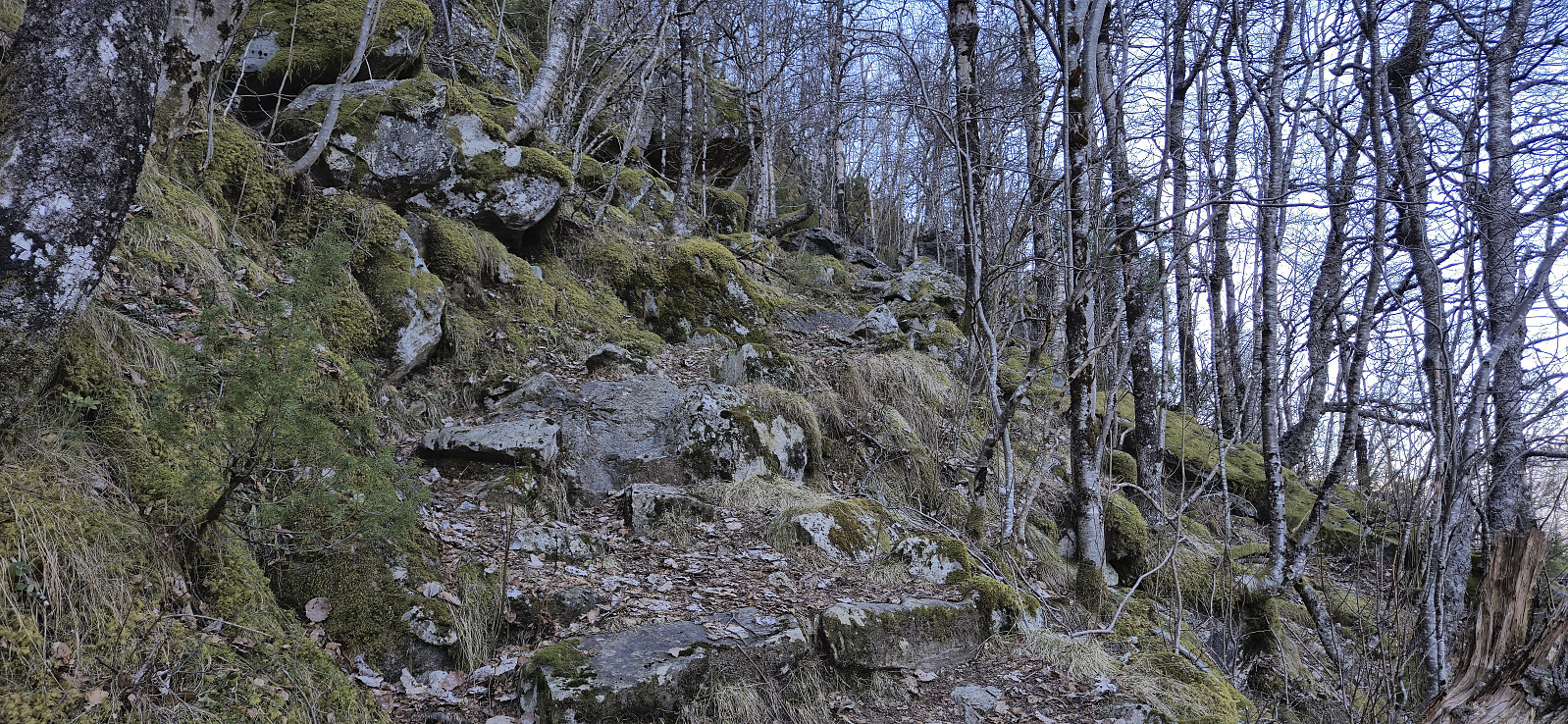
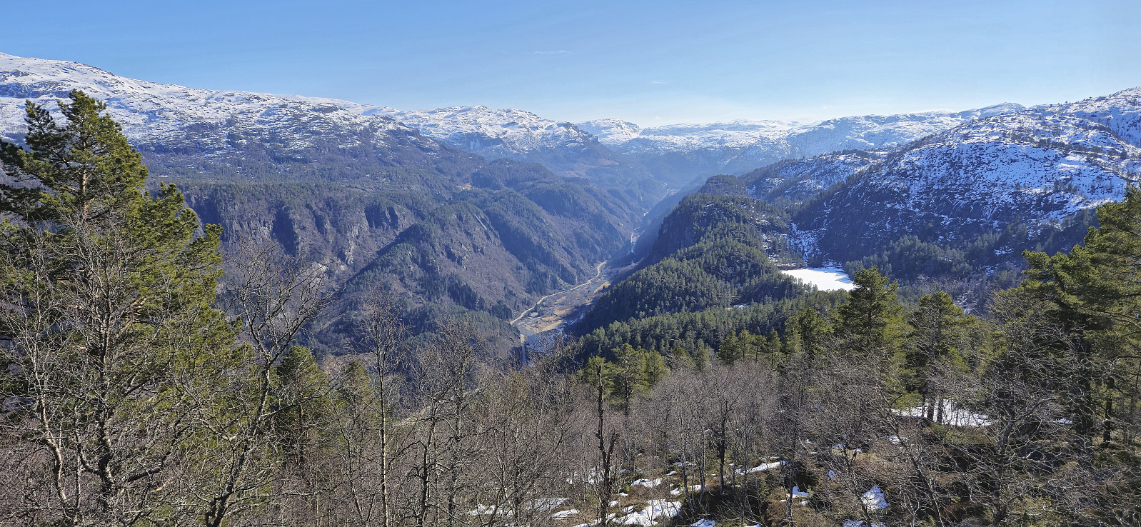
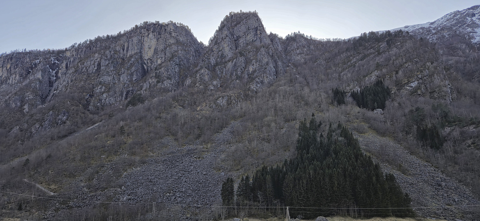
Strong winds at high altitudes made me postpone my planned skiing trip. To enjoy the otherwise excellent weather I therefore instead went for a long 3.5-hour bus ride to Odda to ascend Stølsnuten. When finally getting off the bus at Sandvin I was welcomed by signs of "Private road" and "No trespassing” but concluded that walking along the gravel roads should still be ok and continued across the bridge. The start of the steep and relatively rough gravel road up the unmarked trailhead was easily located and when the road ended I continued on an equally steep trail heading to Lauvås.
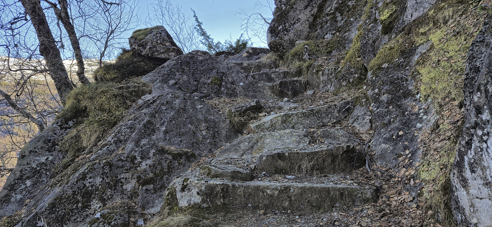
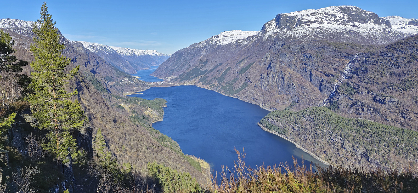
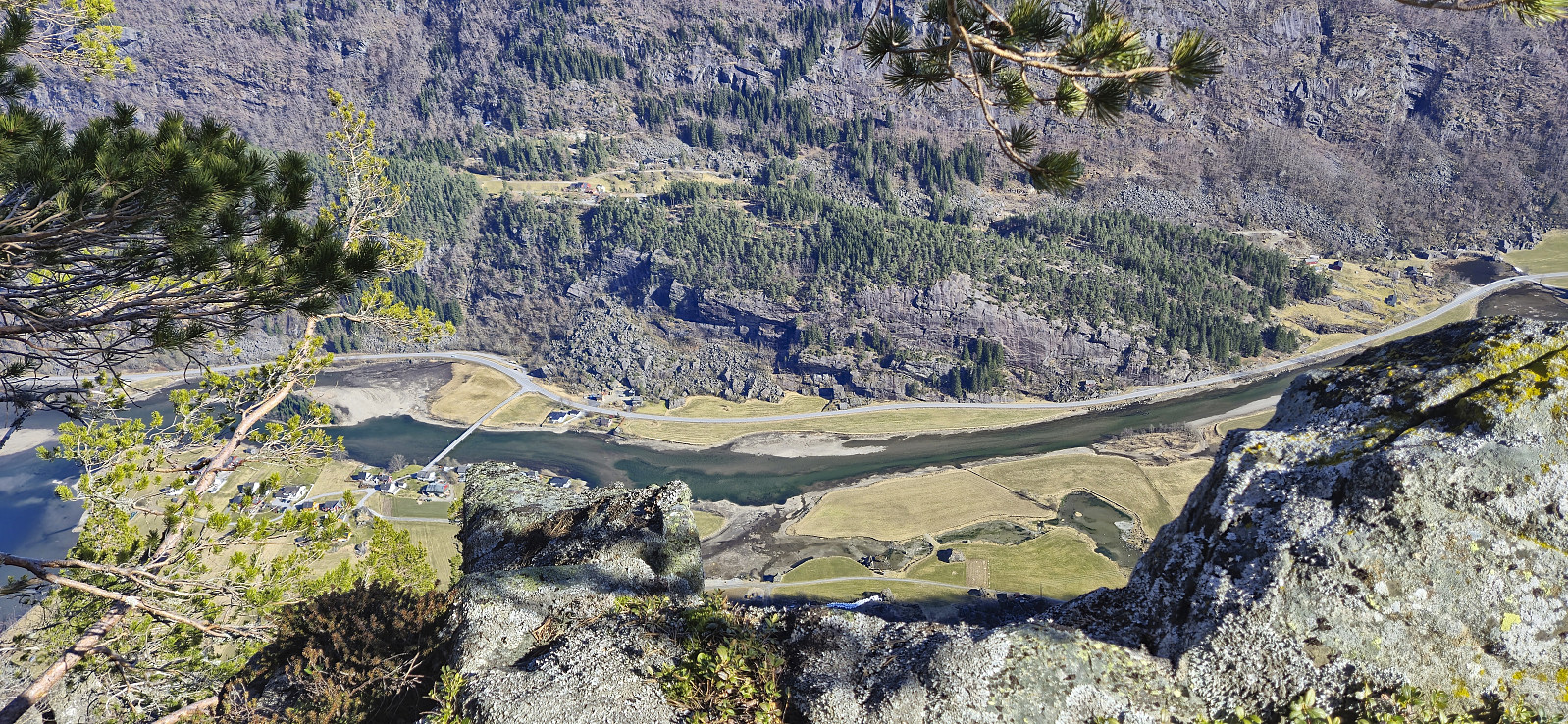
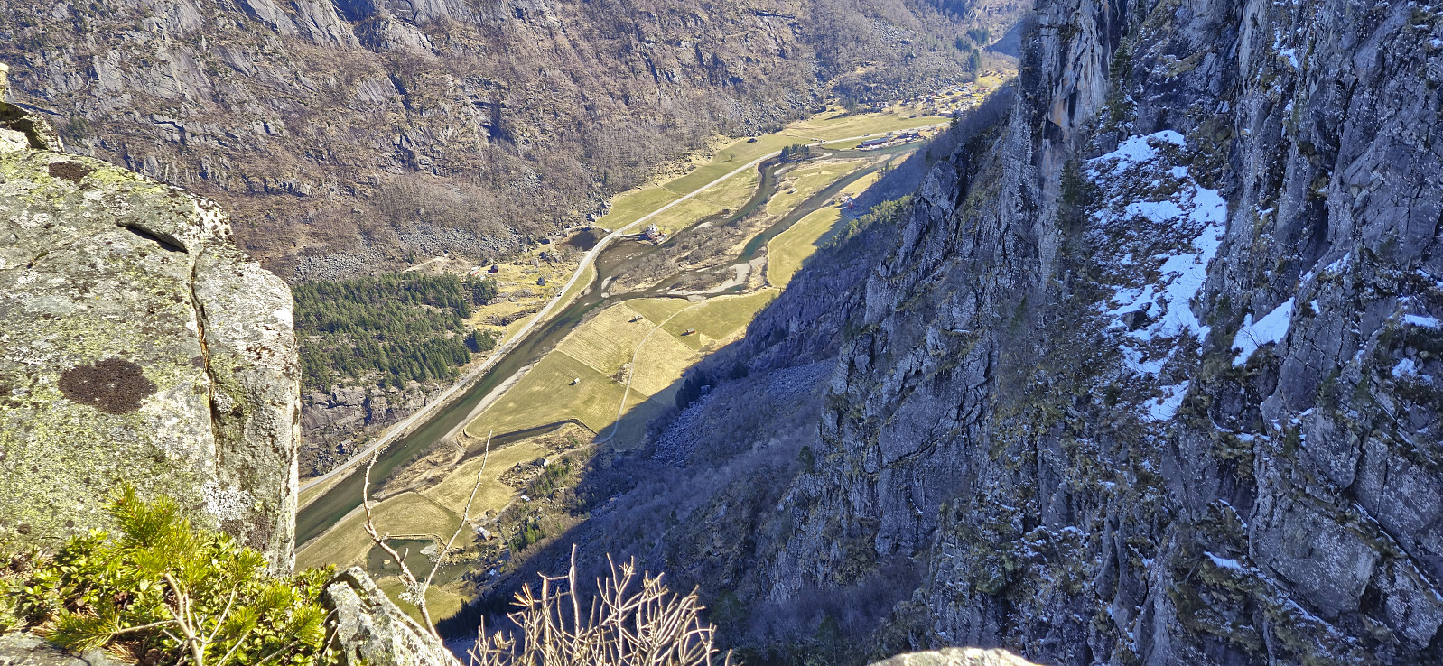
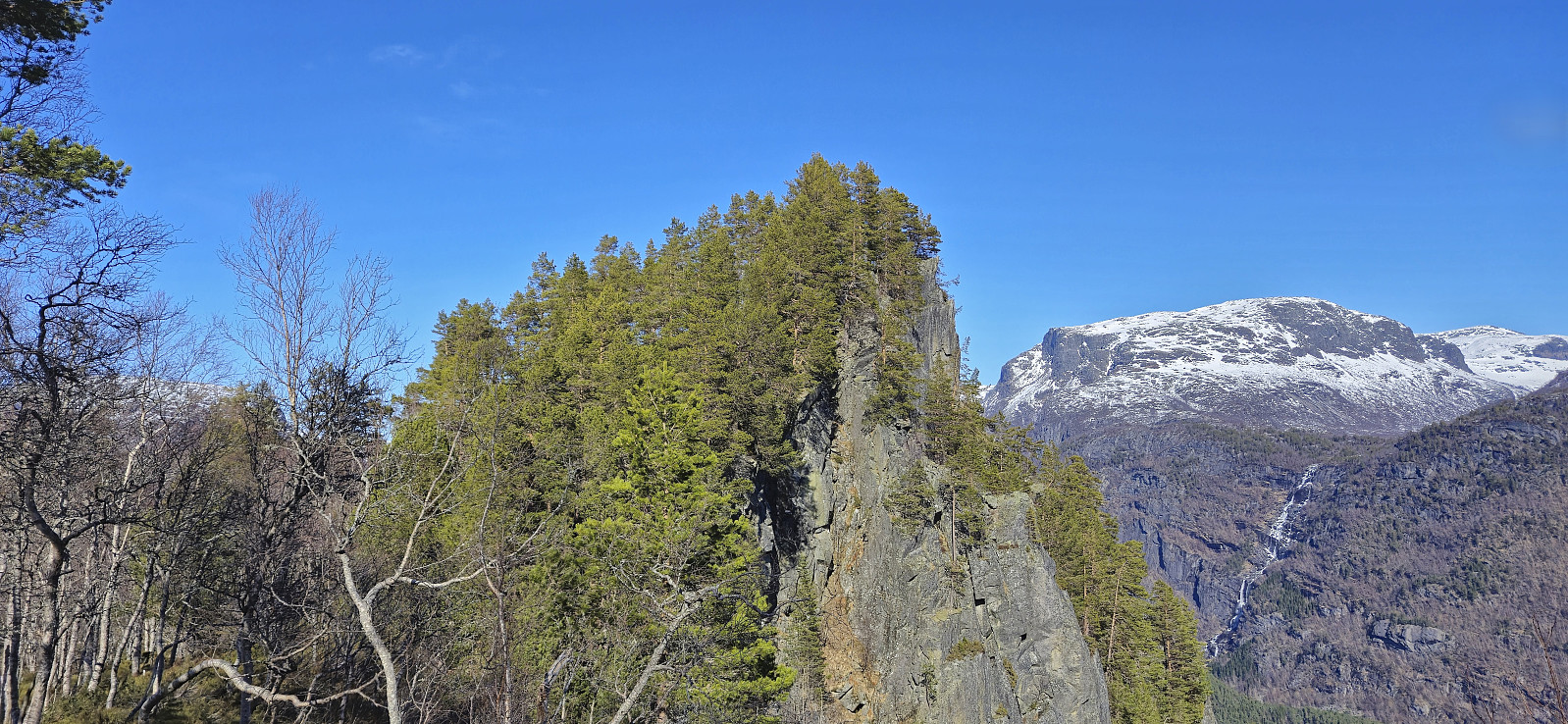
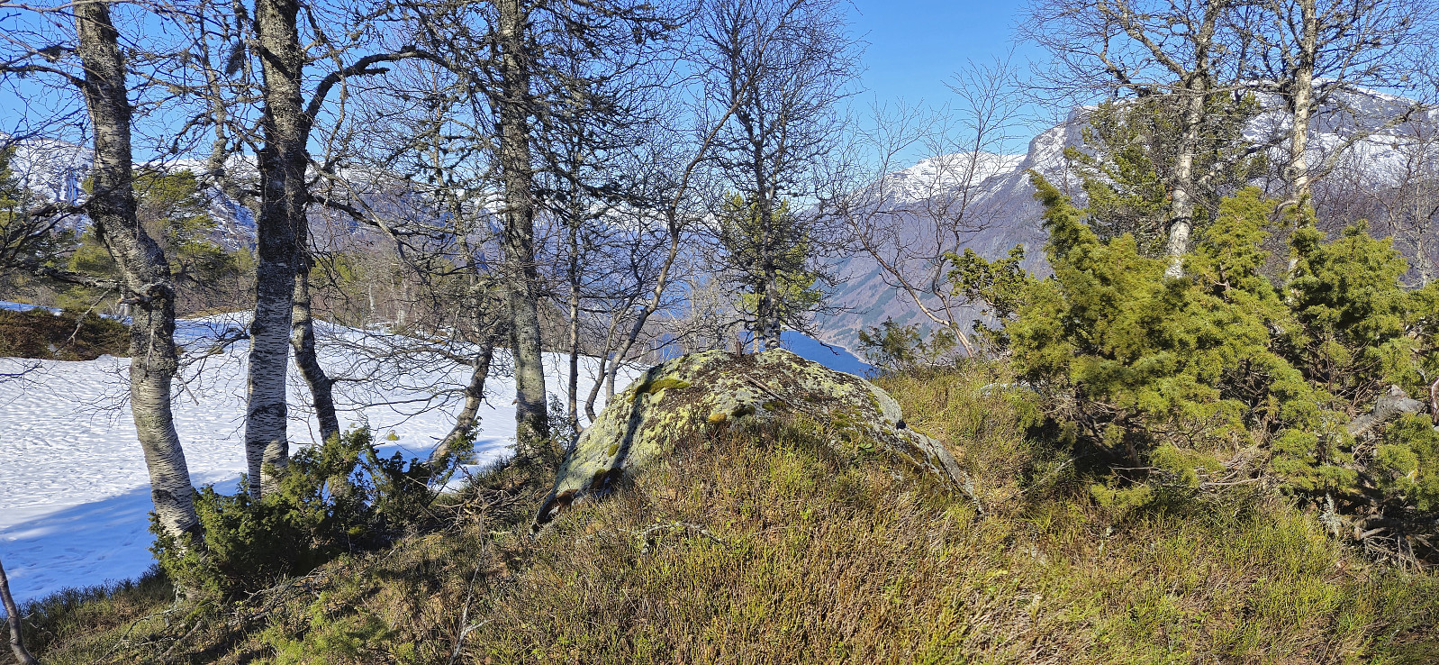
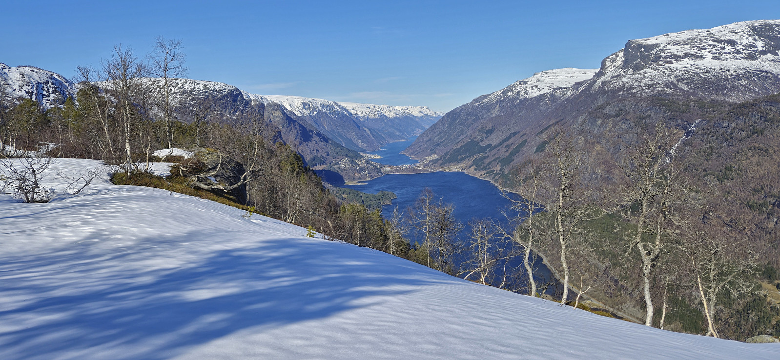
When the trail later split (more clearly on the map than in reality), I followed the weaker of the two options and headed more directly towards Storenuten. This involved a tiny bit of easy scrambling but all of the potentially exposed areas could easily be avoided. The summit of Storenuten provided spectacular views with an almost 600 meter drop down to the valley below. Definitely worth the minor detour!
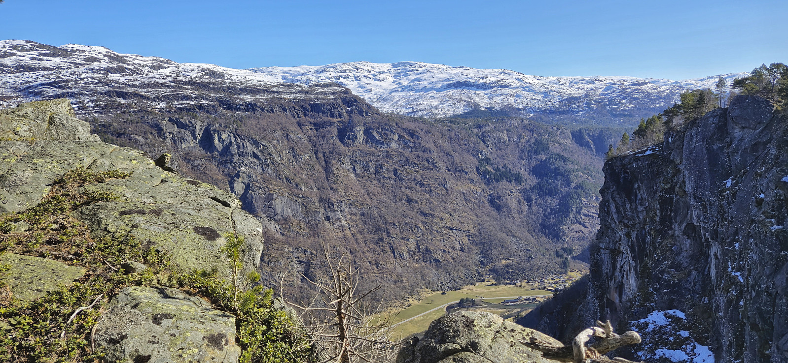
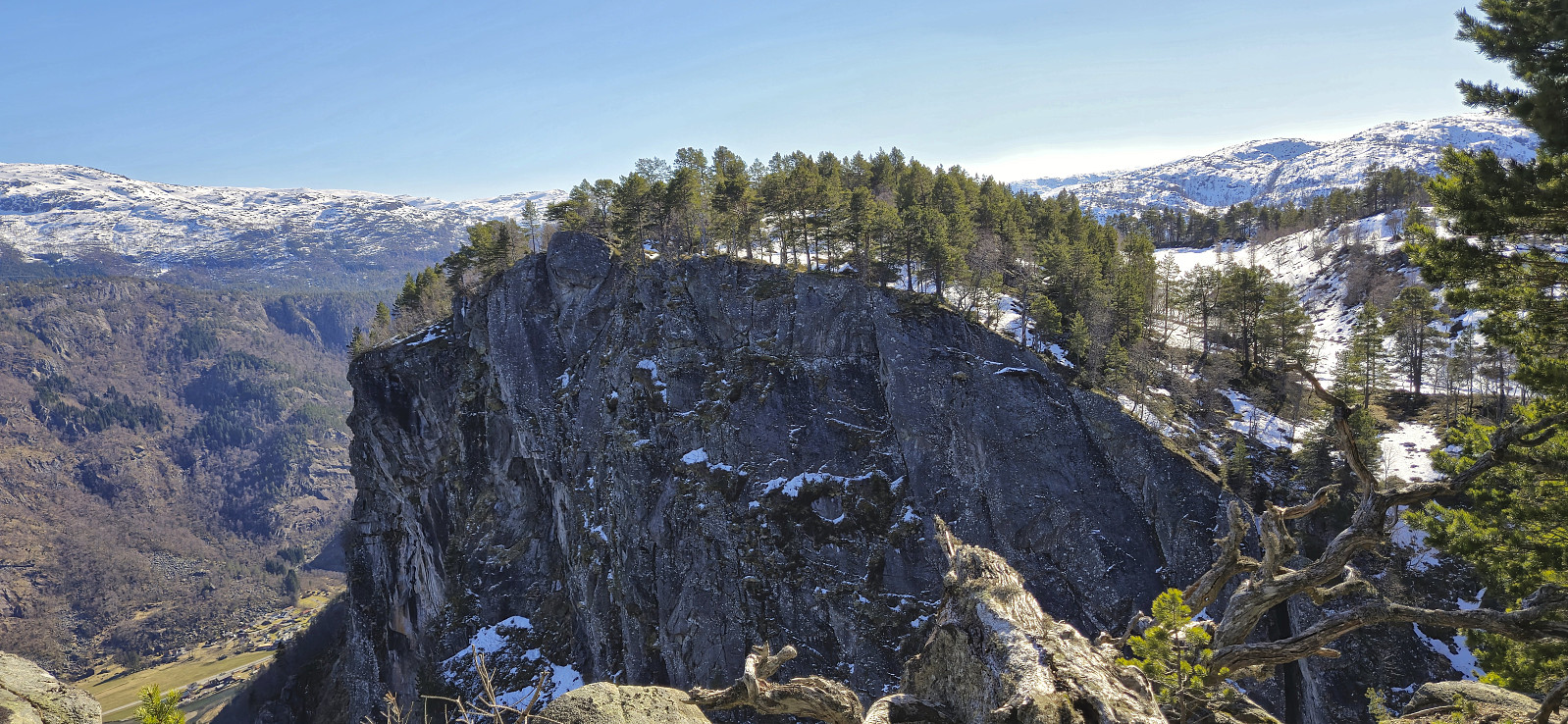
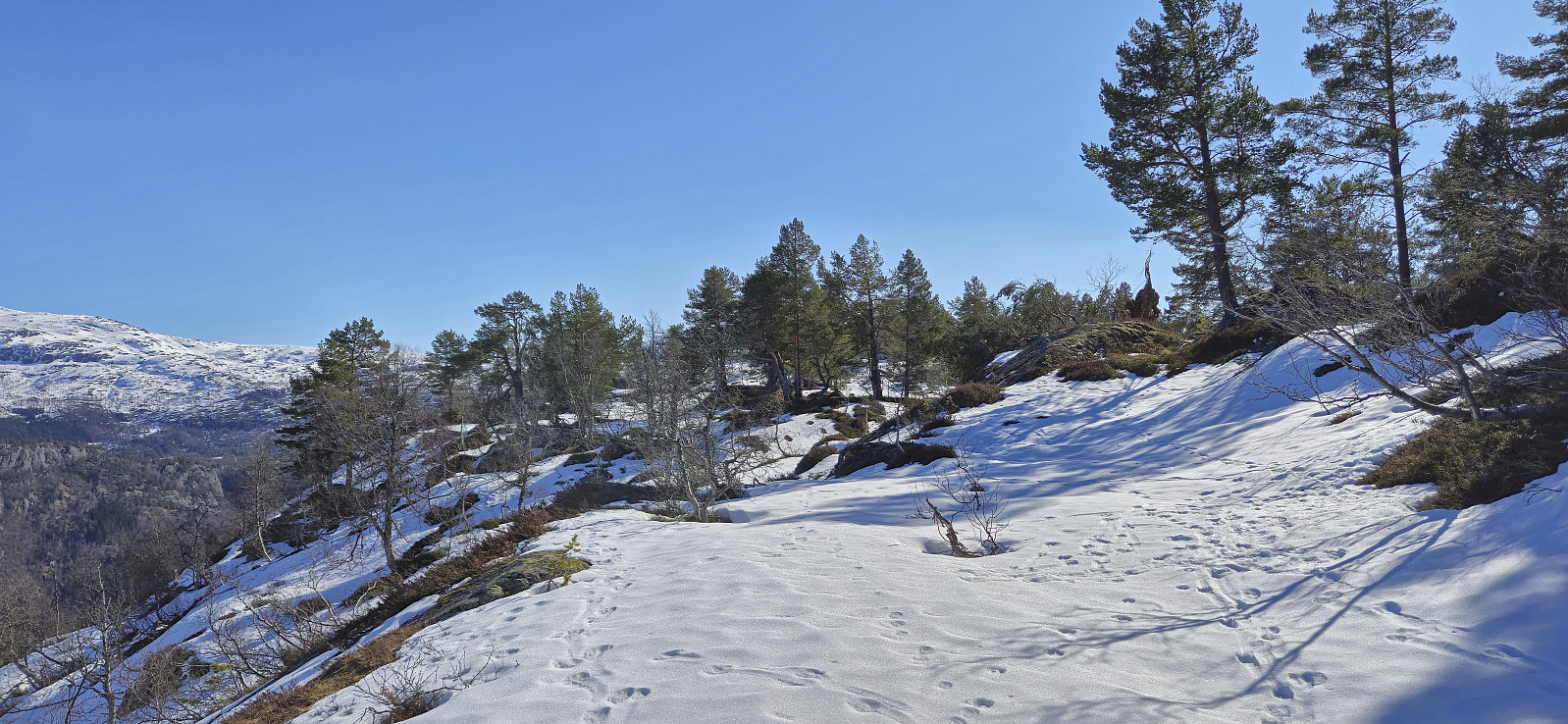
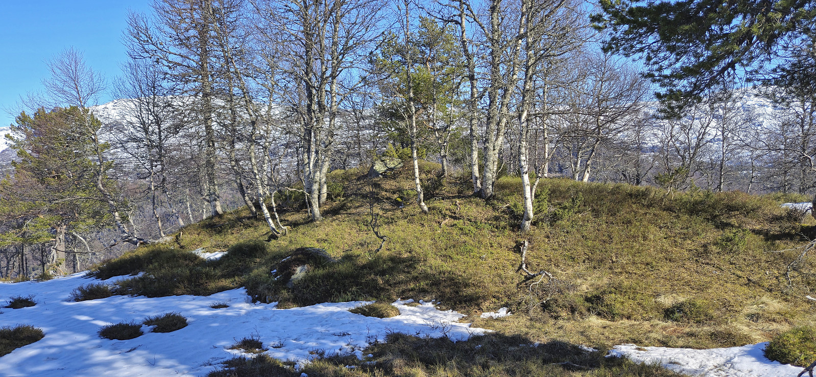
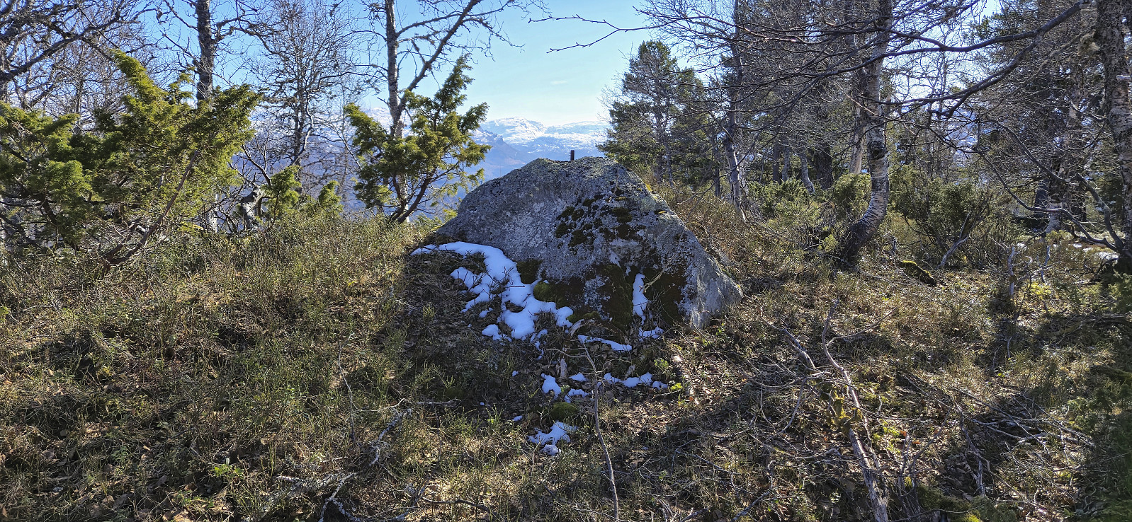
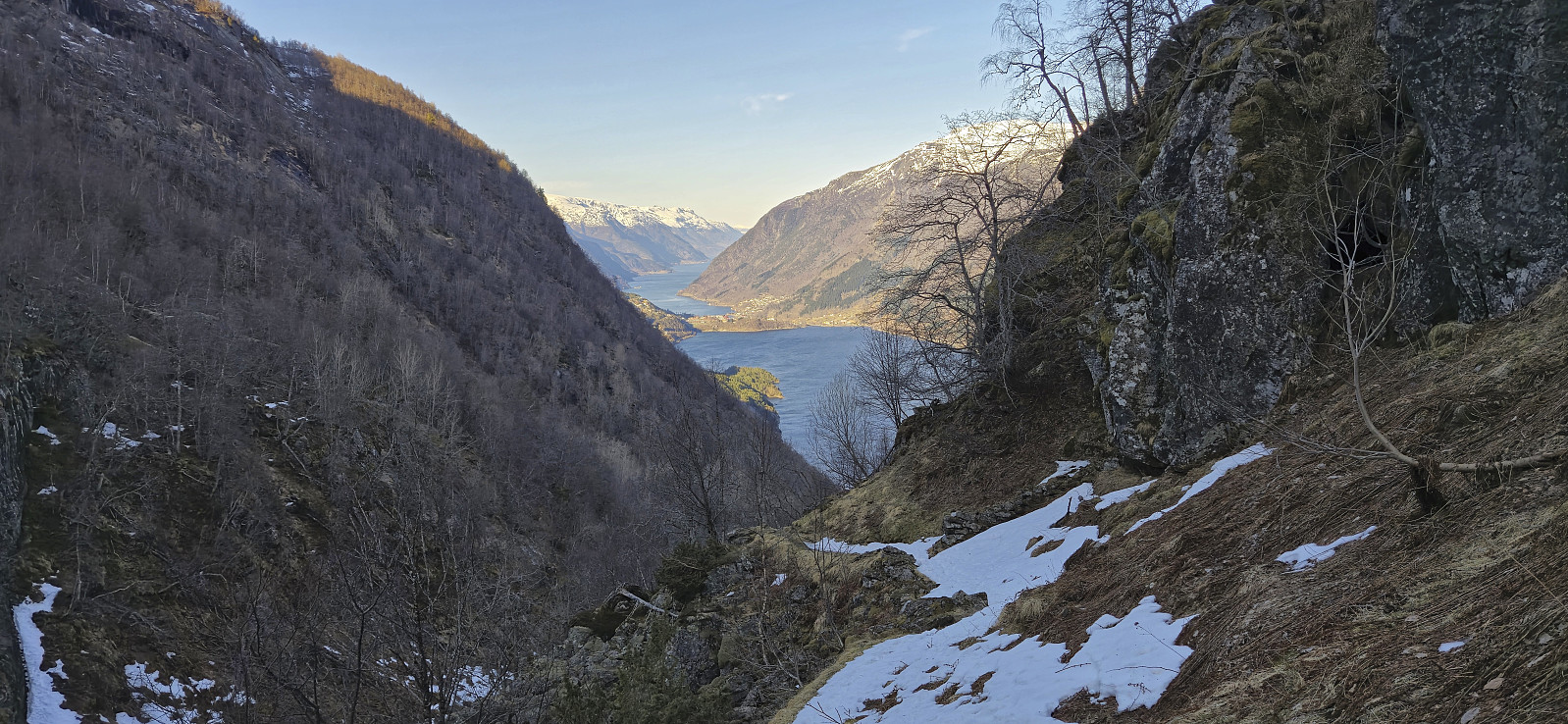
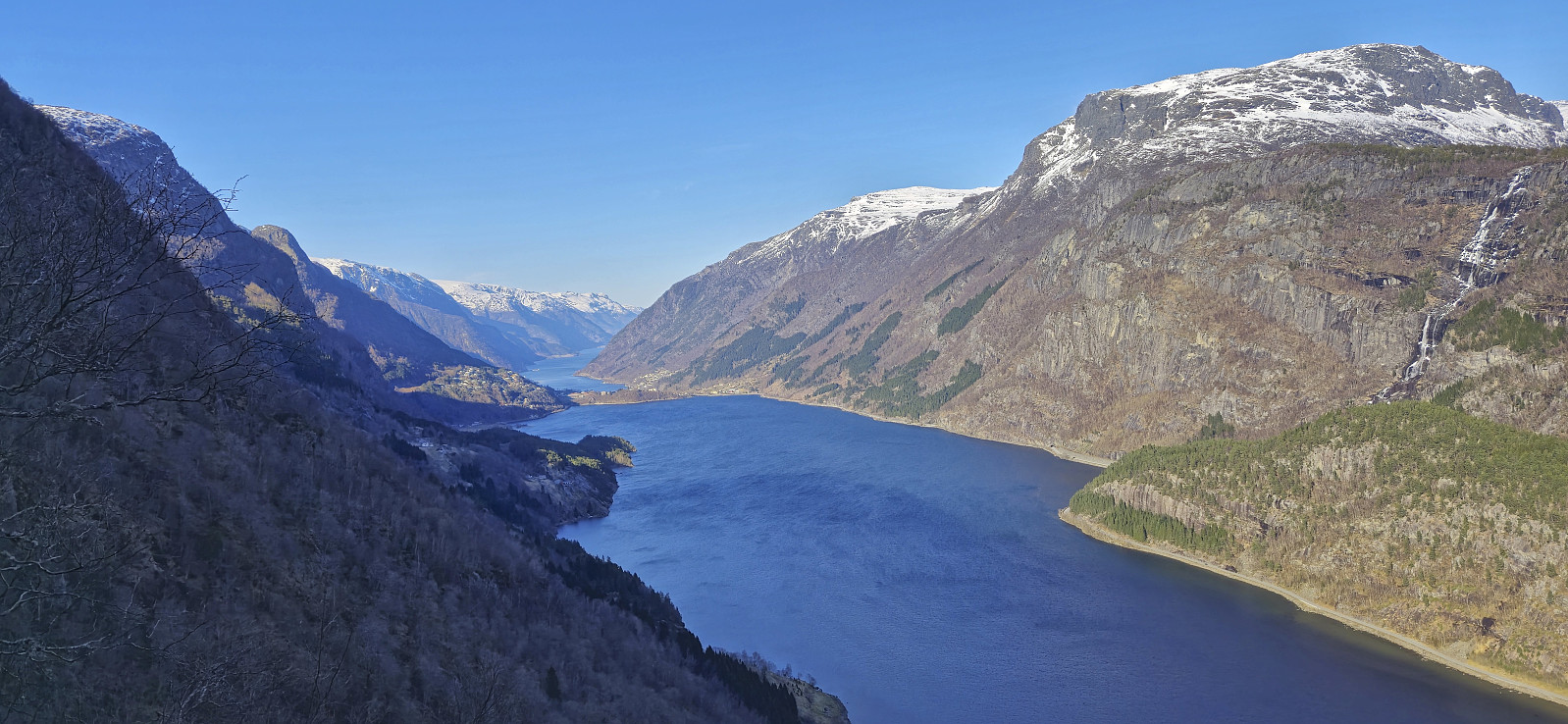
From Storenuten I descended southwest along the ridge before turning south towards Stølsnuten. This section was straightforward and the summit was reached without any issues. Slightly less impressive views here than from Storenuten, but both Odda and Røldalsfjellet could be spotted in the distance. After a short break, I continued south and then west to Lauvås. No trails here as far as I could tell, but the terrain did not provide any real challenges.
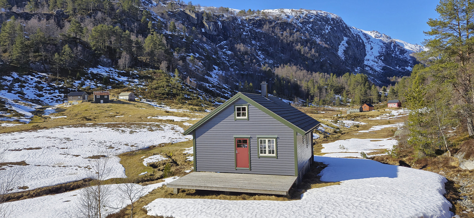
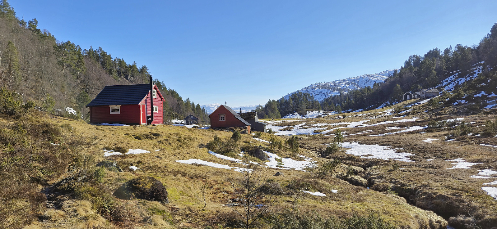
At Lauvås I enjoyed an extended break in the warm sunlight before following the trail north to connect with the trail I had used during the ascent. All that remained was then to follow the same trail back to the bus stop at Sandvin and even though I tried to take it slow, both to enjoy the views and because I for once had plenty of time, I still arrived at the bus stop with almost 50 minutes to spare.
To conclude, an excellent hike with spectacular views that can be highly recommended!
| Startdatum | 22.03.2025 12:11 (UTC+01:00) |
| Slutdatum | 22.03.2025 16:16 (UTC+01:00) |
| Tid totalt | 4t 04min |
| Tid i rörelse | 3t 04min |
| Tid för paus | 1t 00min |
| Snitthastighet totalt | 2,0km/t |
| Snitthastighet i rörelse | 2,7km/t |
| Avstånd | 8,3km |
| Höjdmeter | 738m |

Kommentarer