Lyshornet and Vardahaugane (15.02.2025)

| Start point | Lyseklostervegen v/Pøyla (12m) |
|---|---|
| Endpoint | Kalandseidet (74m) |
| Characteristic | Hillwalk |
| Duration | 3h 03min |
| Distance | 8.9km |
| Vertical meters | 477m |
| GPS |
|
| Ascents | Lyshornet (405m) | 15.02.2025 13:55 |
|---|---|---|
| Vardahaugane (309m) | 15.02.2025 14:31 | |
| Visits of other PBEs | Grønhovda utsiktspunkt (296m) | 15.02.2025 13:28 |
Lyshornet and Vardahaugane

A return to Lyshornet with the main objective of also visiting Vardahaugane, yet another minor peak on the Alle topper i Bergen list.
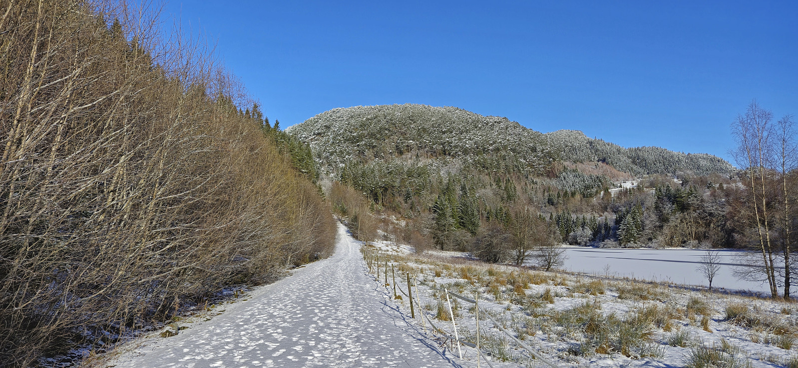
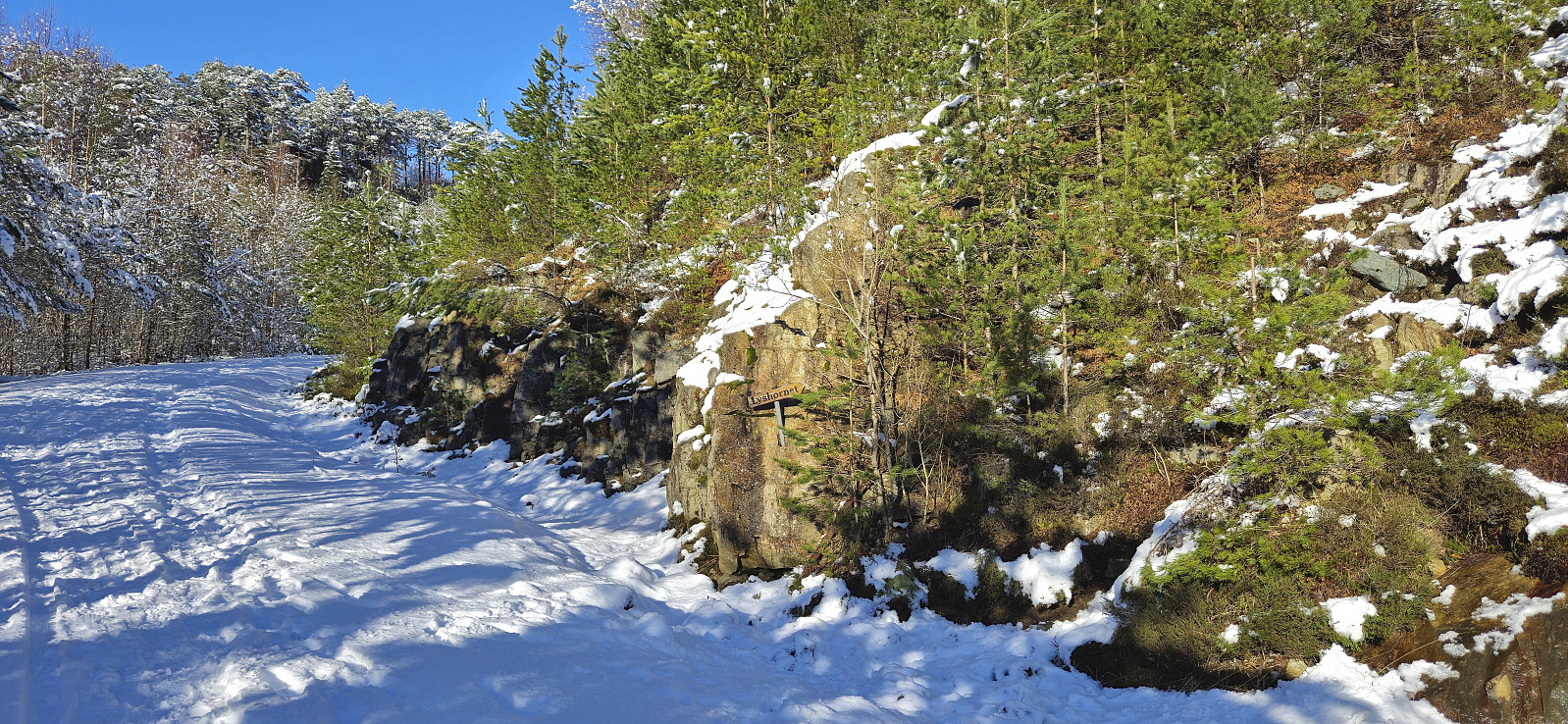
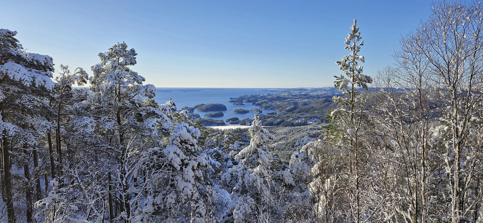
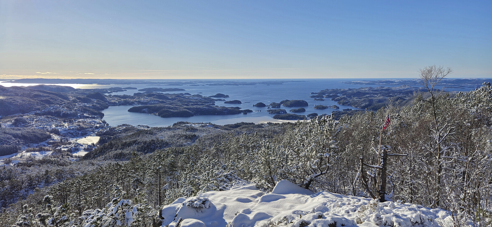
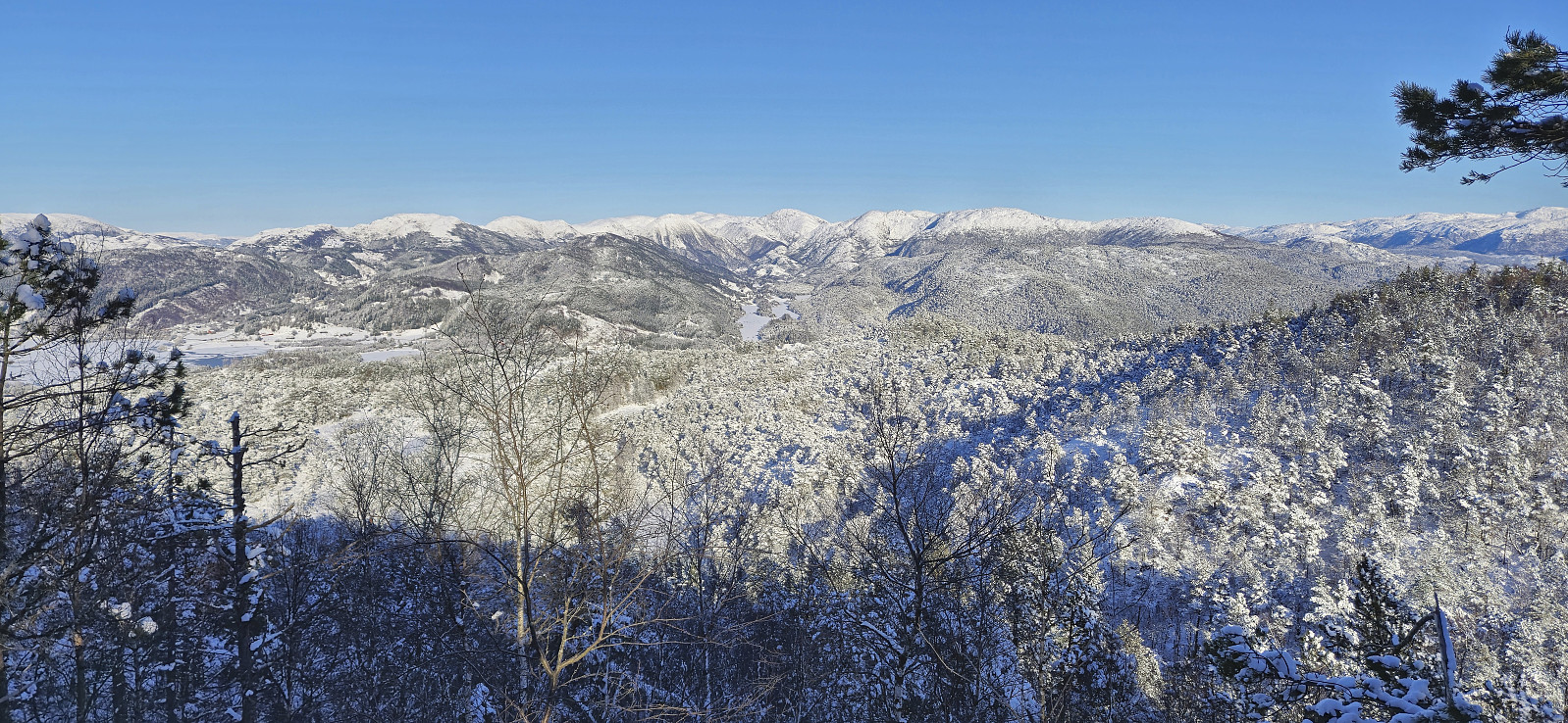
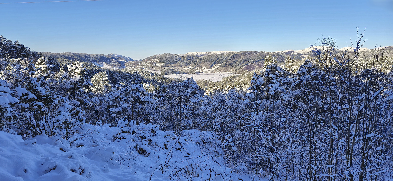
I started by taking the bus to southwest of Lysekloster and from there followed the snow-covered gravel road to the marked trailhead for Lyshornet. The initially quite steep trail would have been easy to miss without the sign at the trailhead but, partly thanks to footprints in the snow, led me all the way to the excellent views at the top of Lyshornet.
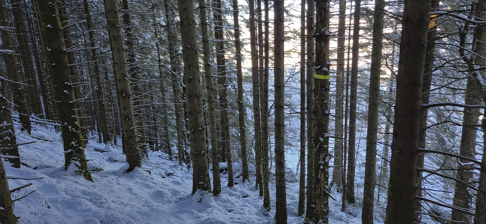
I continued east along the trail into the valley between Lyshornet and Vetla Lyshornet. Here I turned north and tried to follow a trail in the direction of Vardahaugane. But with the trail hidden underneath the snow and no longer any footprints leading the way, I was never sure whether I was on the trail or not.
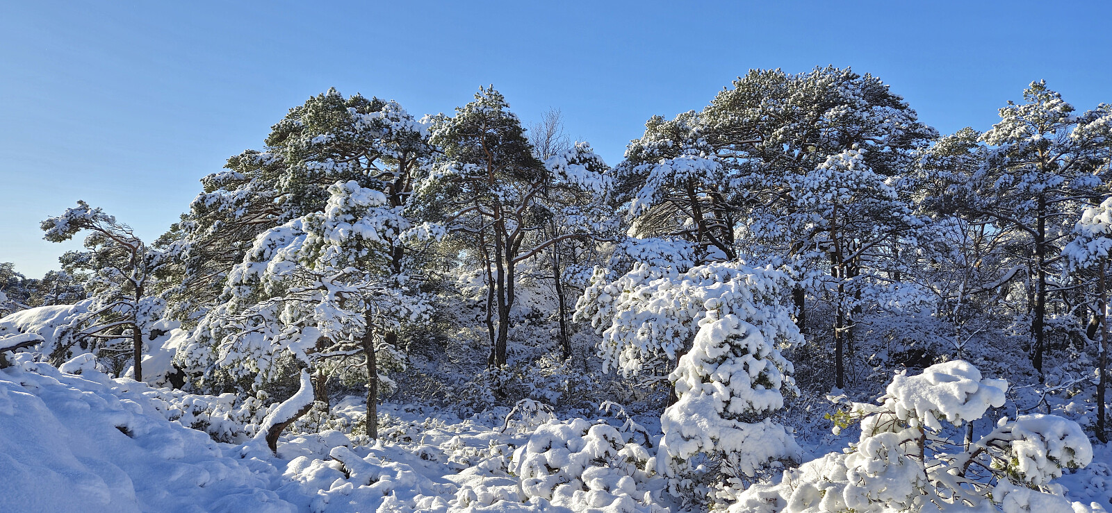
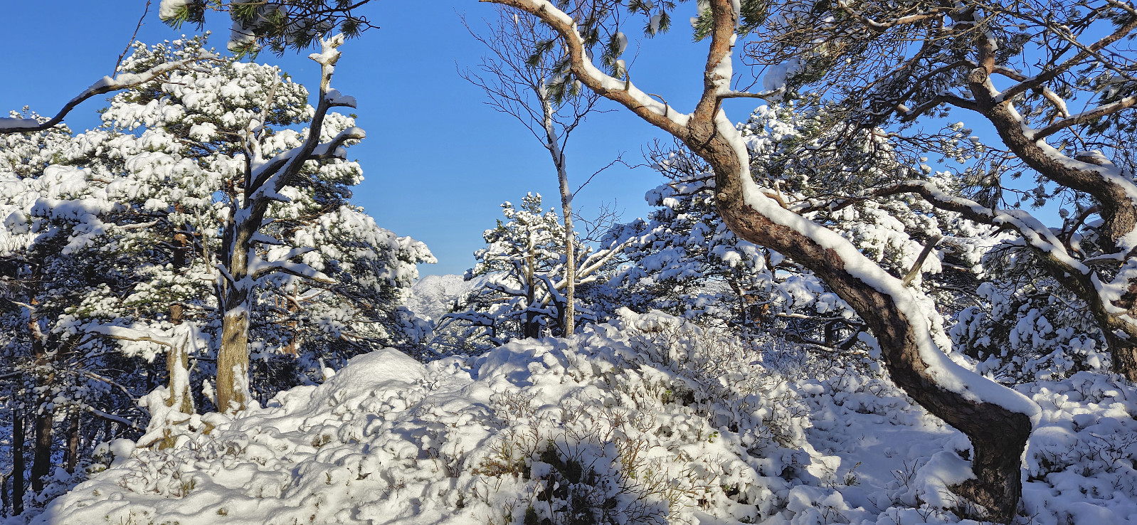
The highest point at Vardahaugane was still easily reached, but given its limited views I did not stay long before returning to the trail and trying to follow it north to Kismul. Here I connected with the paved road which I then proceeded to follow to Kalandseidet for the bus back to the city center.
To conclude, a nice hike in a winter wonderland of new snow and with excellent views from Lyshornet. Vardahaugane is more of an acquired taste and not a summit that most hikers will see much point in visiting.
| Start date | 15.02.2025 12:45 (UTC+01:00) |
| End date | 15.02.2025 15:49 (UTC+01:00) |
| Total Time | 3h 03min |
| Moving Time | 2h 49min |
| Stopped Time | 0h 14min |
| Overall Average | 2.9km/h |
| Moving Average | 3.2km/h |
| Distance | 8.9km |
| Vertical meters | 477m |

User comments