Furelegene and Eikåsen (25.01.2025)

| Startpunkt | Steinestøvegen (44m) |
|---|---|
| Endpunkt | Vågsbotn (93m) |
| Tourcharakter | Bergtour |
| Tourlänge | 2h 15min |
| Entfernung | 8,2km |
| Höhenmeter | 287m |
| GPS |
|
| Besteigungen | Furelegene (111m) | 25.01.2025 13:33 |
|---|---|---|
| Eikåsen (178m) | 25.01.2025 14:45 |
Furelegene and Eikåsen
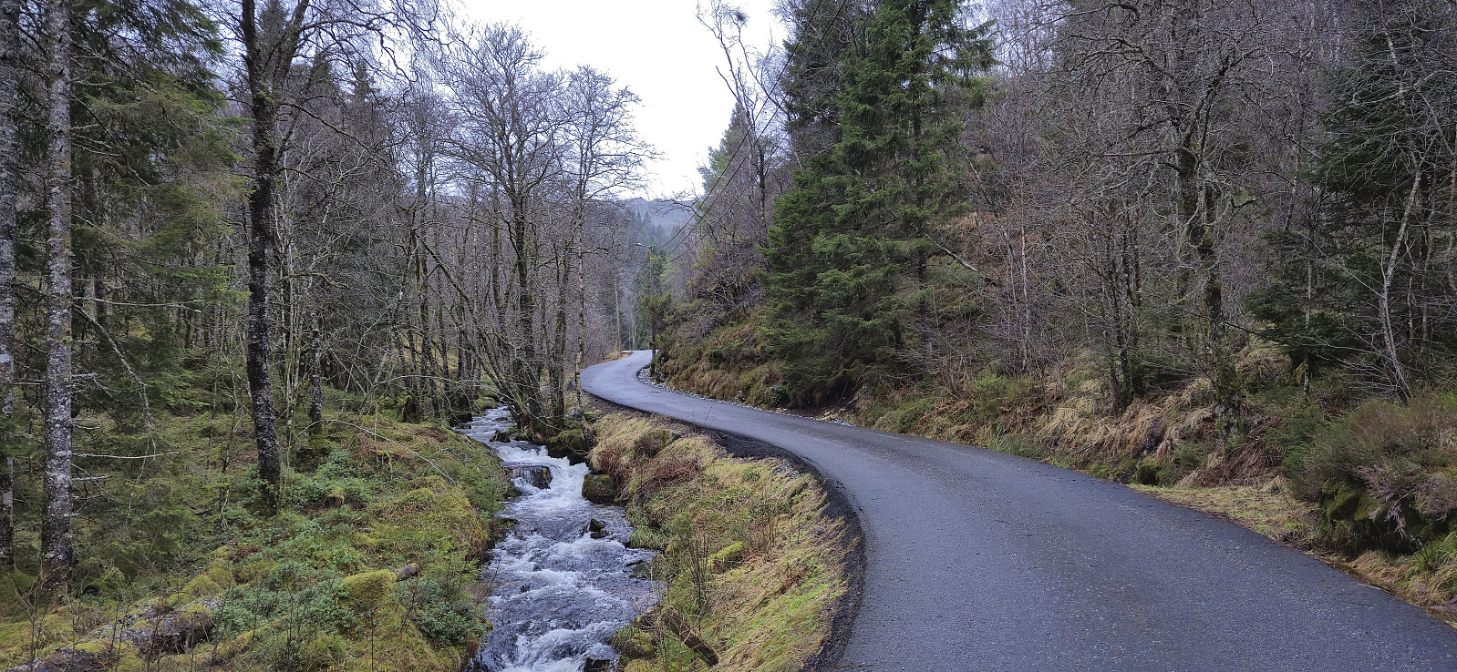
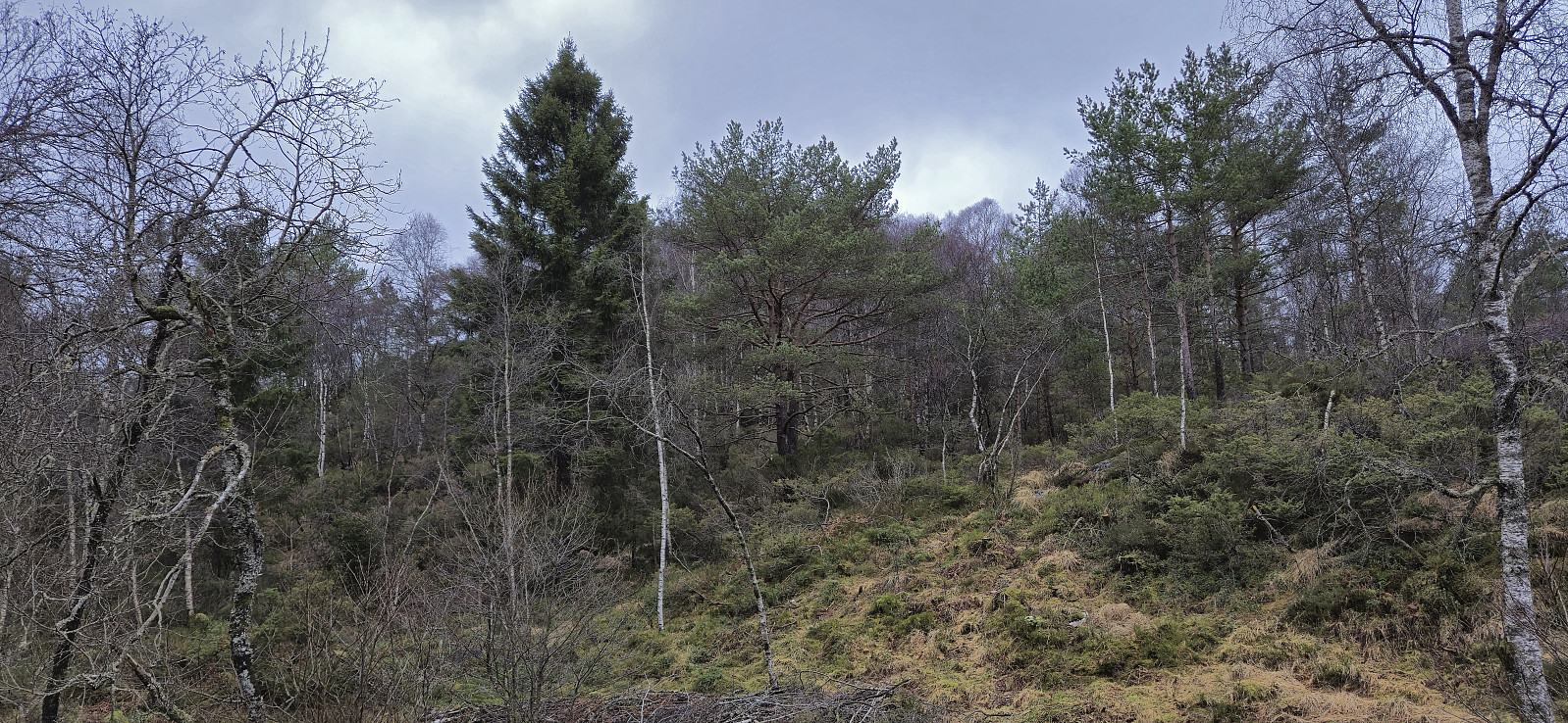
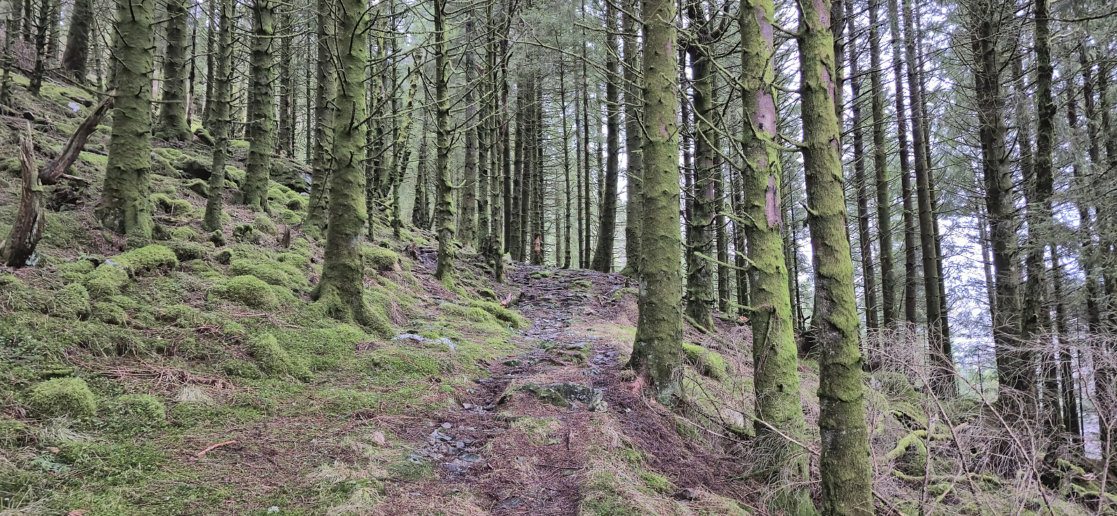
After the short hike to Haukeberget I took the bus from Åsane terminal to the start of Almåsvegen which I then proceeded to follow west towards Almåsgården. My initial plan had been to ascend Furelegene from the trail west of the summit, but in the end I instead simply headed off-trail in the direction of the summit from the south, starting from just before the road crossed a small river. The remaining ascent was overall straightforward but did require some minor fighting with the many bushes doing their best to block the way.
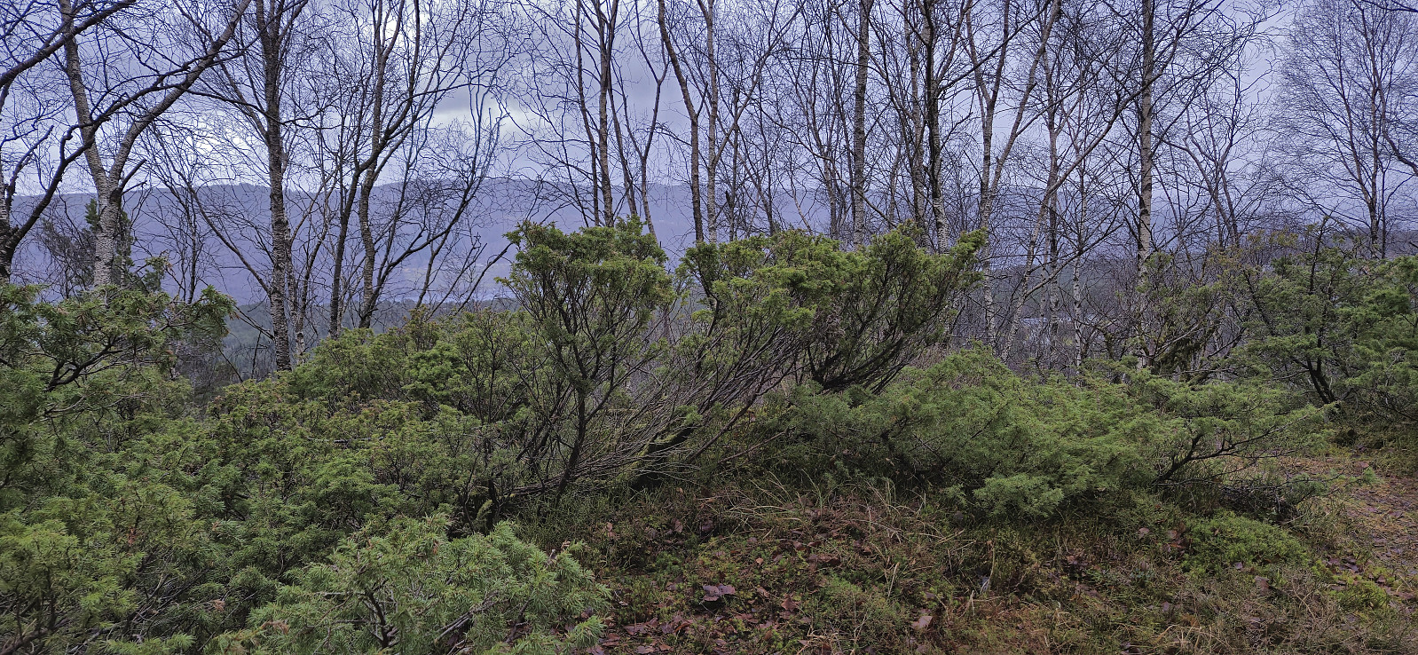
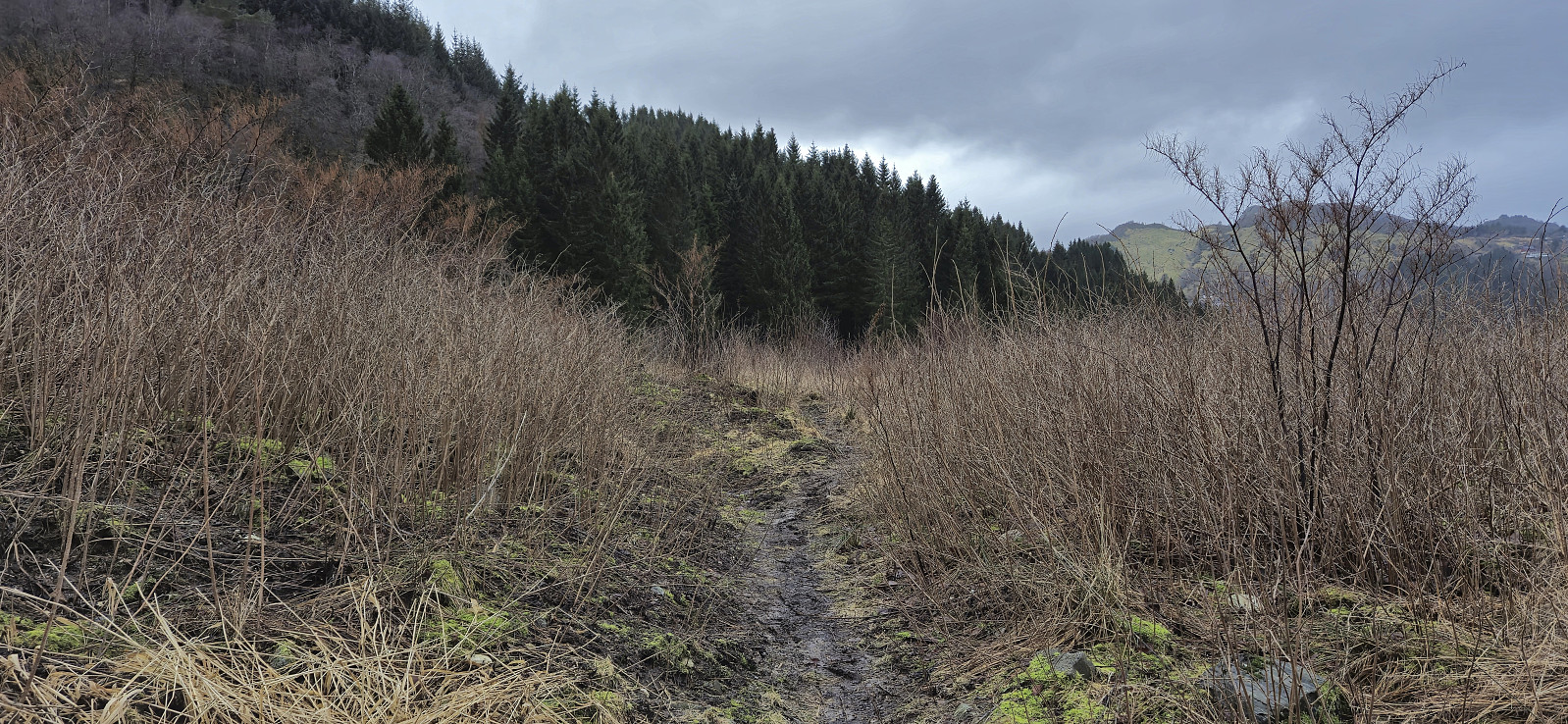
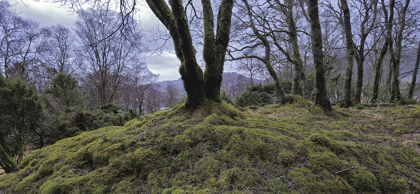
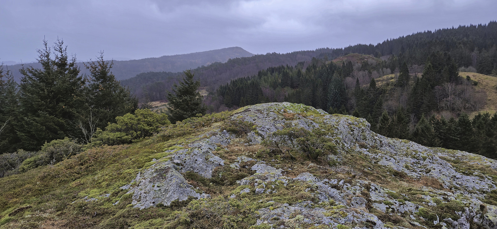
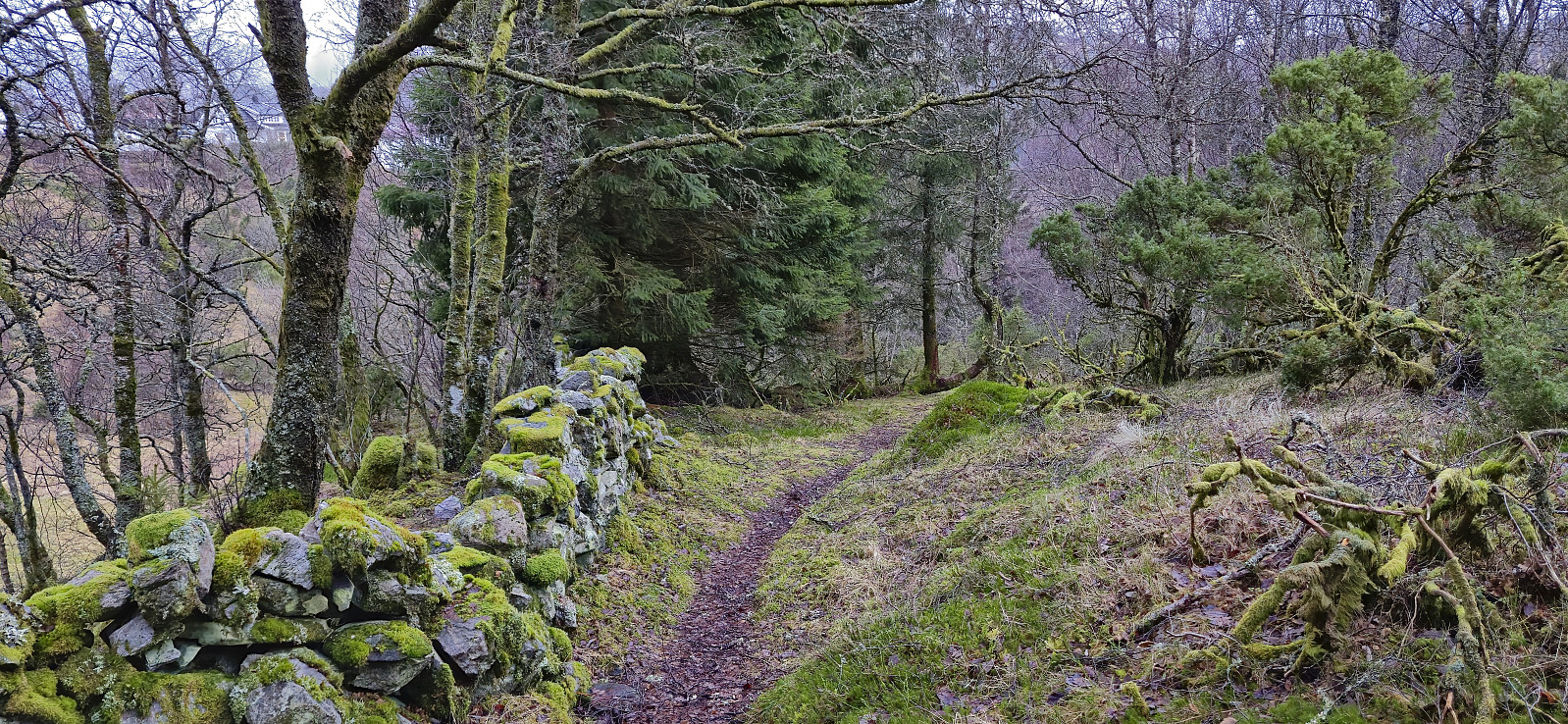
From the summit of Furelegene, I continued north to connect with trails indicated on the map, however as I did not really find any trails, I soon pretty much made my own way east to the main road. The main road was then followed south to Eikåstunnelen where I started my ascent of Eikåsen, first along a gravel road and then via various trails that took me all the way to the summit. Before continuing north to Vikaleitet I also made a short off-trail detour to the slightly lower summit to the southeast. The hike was finally concluded by following the roads to Vågsbotnen from where I took the bus back to Lønborg.
| Startzeitpunkt | 25.01.2025 13:15 (UTC+01:00) |
| Endzeitpunkt | 25.01.2025 15:31 (UTC+01:00) |
| Gesamtzeit | 2h 15min |
| Zeit in Bewegung | 2h 08min |
| Pausenzeit | 0h 6min |
| Gesamtschnitt | 3,6km/h |
| Bewegungsschnitt | 3,8km/h |
| Entfernung | 8,2km |
| Höhenmeter | 287m |

Benutzerkommentare