Sandviksfjellet via half of Stoltzekleiven (26.10.2024)

| Startsted | Munkebotn (18moh) |
|---|---|
| Sluttsted | Lønborg (55moh) |
| Turtype | Fjelltur |
| Turlengde | 2t 01min |
| Distanse | 8,1km |
| Høydemeter | 488m |
| GPS |
|
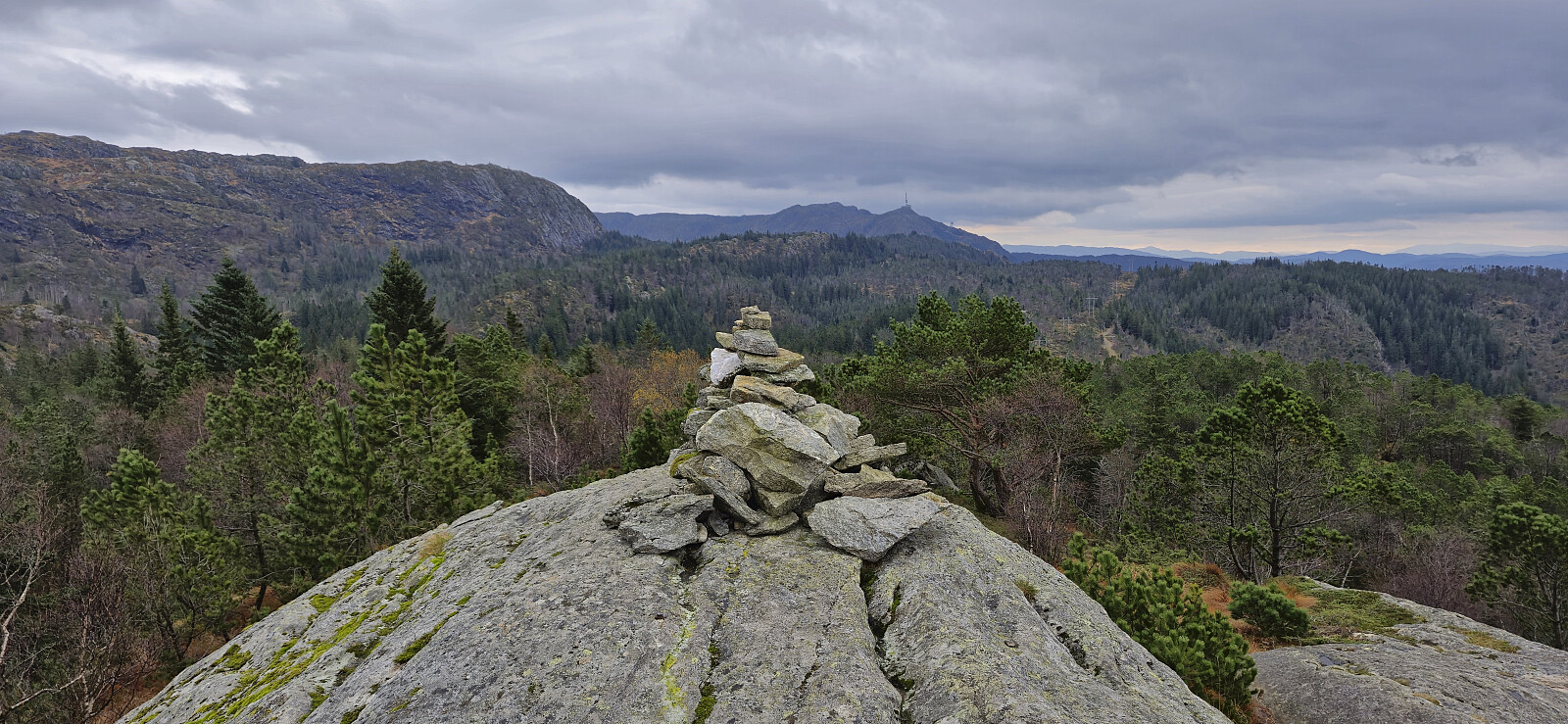
| Bestigninger | Sandviksfjellet (417moh) | 26.10.2024 |
|---|---|---|
| Andre besøkte PBE'er | Grindarasten (375moh) | 26.10.2024 |
| Hellegrind (199moh) | 26.10.2024 | |
| Ishuset ved Langevatnet (127moh) | 26.10.2024 | |
| Trollborg (ruin) (404moh) | 26.10.2024 | |
| Vannverkshus i Skiveien (244moh) | 26.10.2024 |
Sandviksfjellet via half of Stoltzekleiven
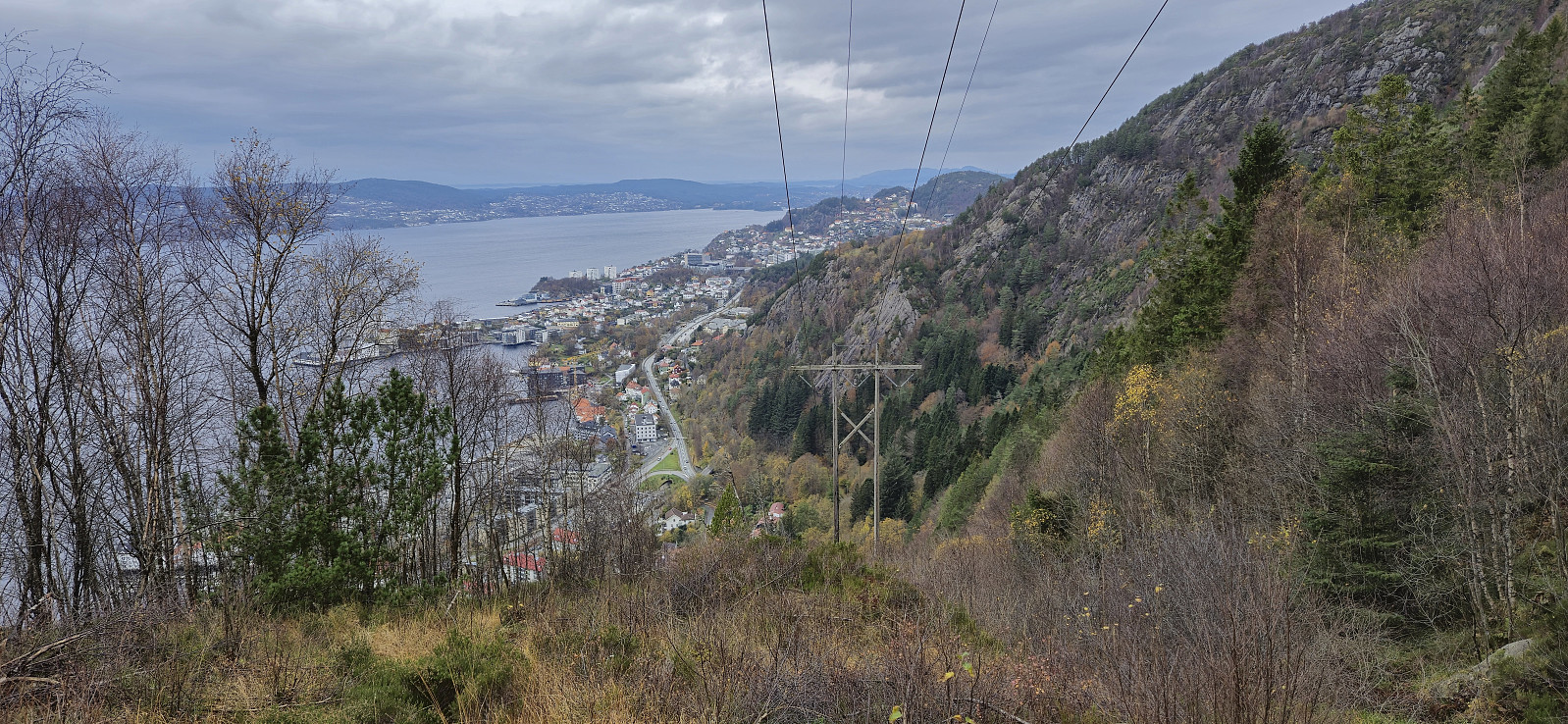
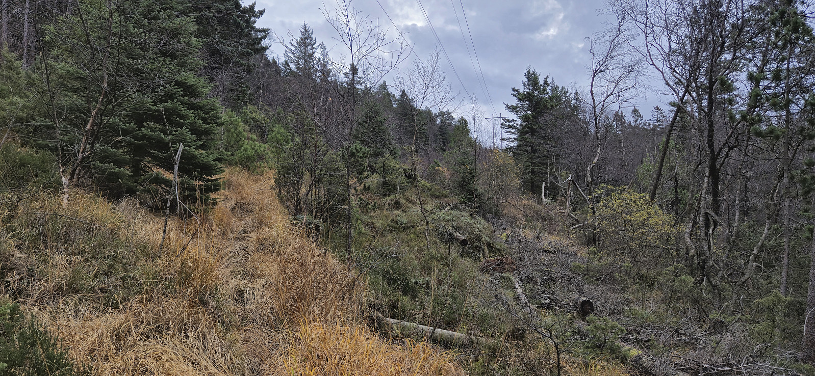
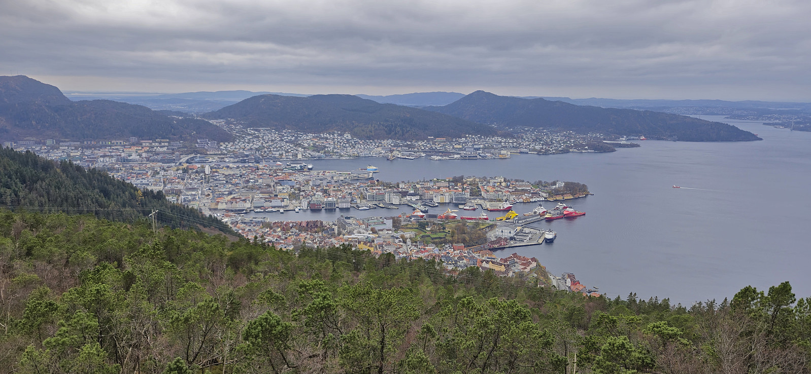
An alternative ascent to Sandviksfjellet where I started on the route up Stoltzekleiven but left the trail around the halfway point. Here I instead followed a weaker and wetter trail southeast underneath the overhead powerlines before later turning north towards the summit when connecting with the trail coming up from Skredderdalen.
| Starttidspunkt | 26.10.2024 13:16 (UTC+01:00 ST) |
| Sluttidspunkt | 26.10.2024 15:17 (UTC+01:00 ST) |
| Totaltid | 2t 01min |
| Bevegelsestid | 2t 00min |
| Pausetid | 0t 1min |
| Snittfart totalt | 4,0km/t |
| Snittfart bevegelsestid | 4,0km/t |
| Distanse | 8,1km |
| Høydemeter | 487m |

Kommentarer