Store Ishaug, Trælhaug, Vetle Ishaug and Svolnos (21.09.2024)

| Startsted | Isdalsvegen p-plass (817moh) |
|---|---|
| Sluttsted | Isdalsvegen p-plass (817moh) |
| Turtype | Fjelltur |
| Turlengde | 7t 54min |
| Distanse | 23,8km |
| Høydemeter | 1357m |
| GPS |
|
| Bestigninger | Store Ishaug (1484moh) | 21.09.2024 13:02 |
|---|---|---|
| Trælhaug (1415moh) | 21.09.2024 14:25 | |
| Vetle Ishaug (1302moh) | 21.09.2024 16:04 | |
| Svolnos (1339moh) | 21.09.2024 17:26 | |
| Andre besøkte PBE'er | Isdalsvegen p-plass (817moh) | 21.09.2024 11:04 |
| Smyttet (961moh) | 21.09.2024 11:54 |
Store Ishaug, Trælhaug, Vetle Ishaug and Svolnos


When Endre asked if I wanted to spend the upcoming Saturday hiking in Eidfjord, I of course immediately said yes and we decided on the area between Måbødalen and Simdalen as our target area, as it contained up to five peaks that neither of us had yet visited. Endre therefore picked me up at my place shortly after 08:00 on the Saturday morning and we started our drive to Eidfjord in an unusually dense fog that we could not escape until beginning the ascent up Måbødalen.
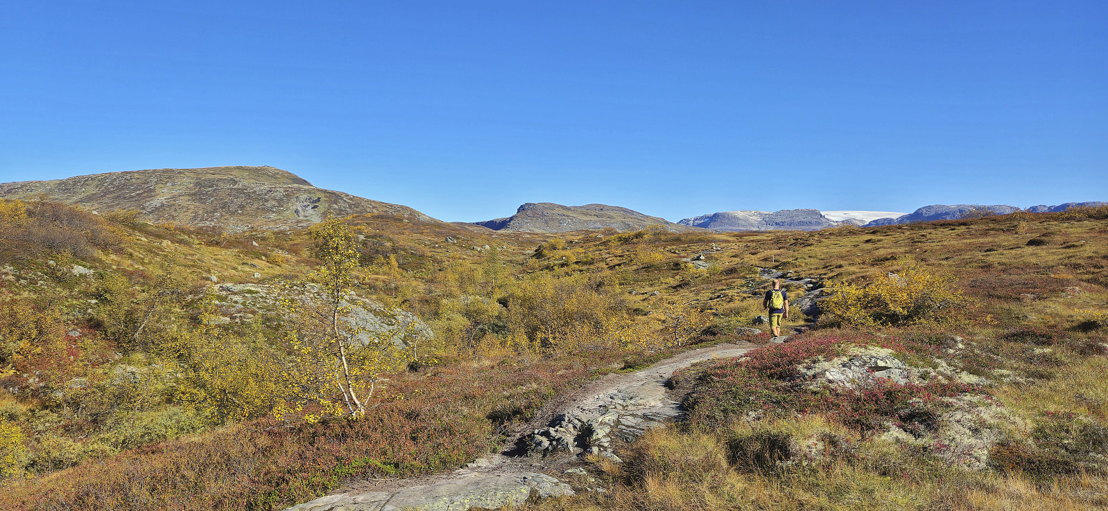
We parked at the large parking lot along Isdalsvegen and from there followed a trail through a cabin area before connecting with the marked trail to Simadal. Even though it was already late September, the weather was very warm and I soon had to make a stop to change into shorts, and the rest of the hike was carried out in just shorts and t-shirts for both of us.
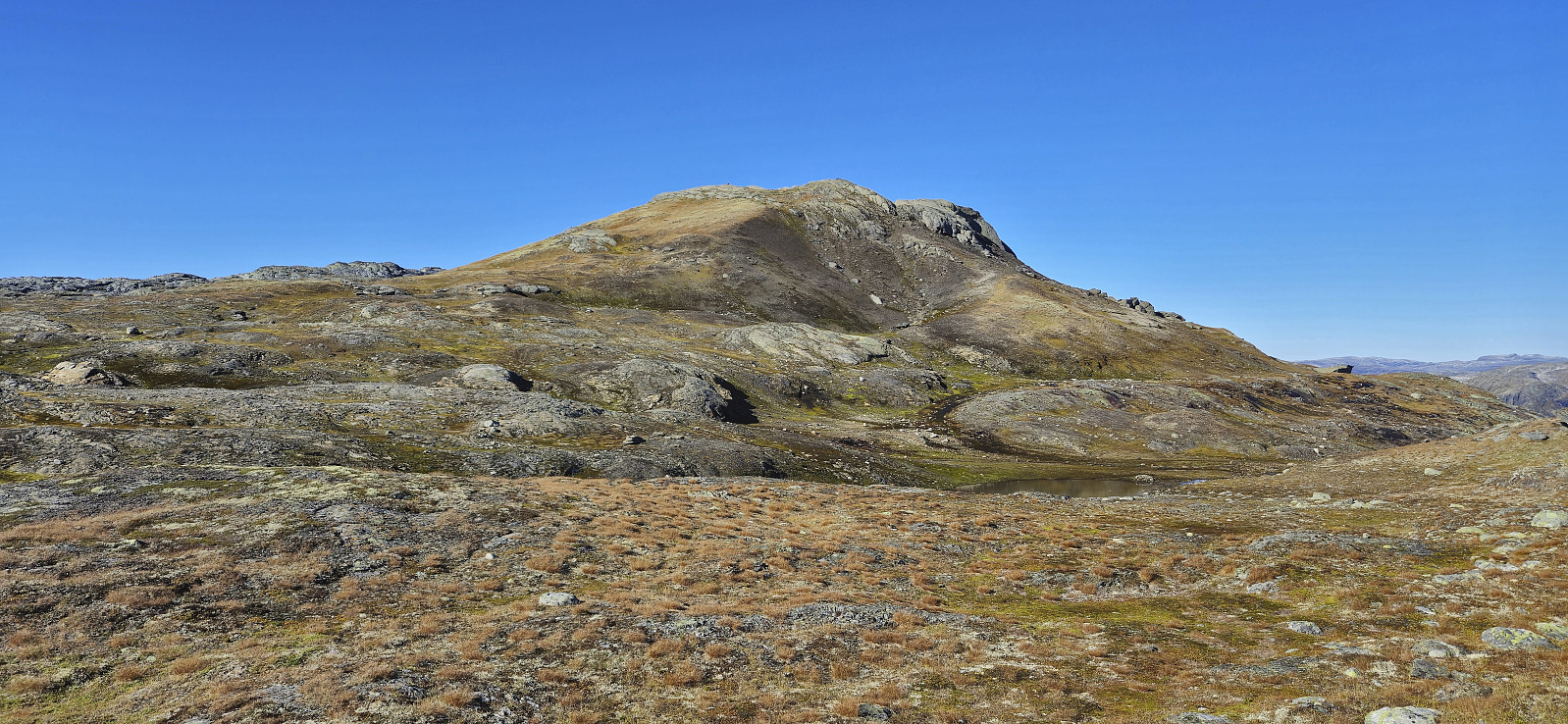
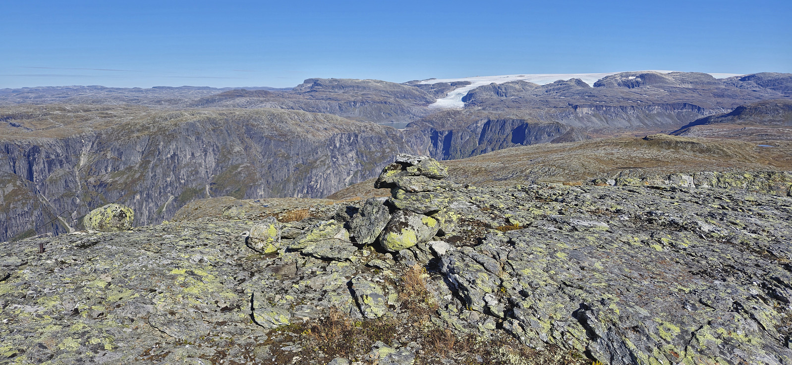
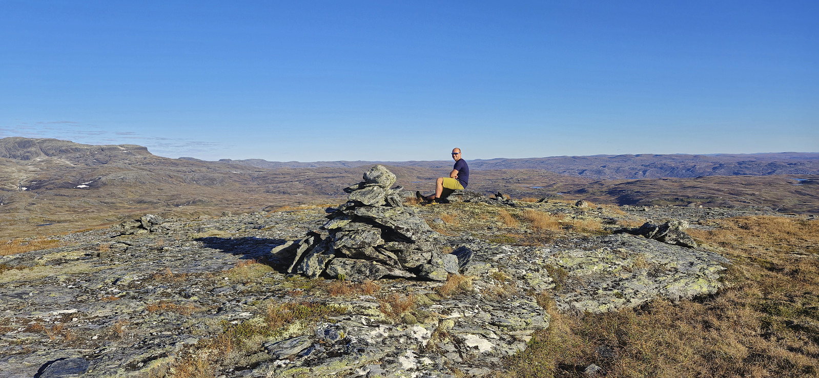
Near the top of the pass, we left the marked trail and made our own way to the summit of Store Ishaug. This was straightforward and we reached the summit without any issues. After a short lunch break to enjoy the excellent views, and a chat with the handful of other hikers, we continued northwest towards Trælhaug. No trail here as far as we could tell, but the terrain was easy to navigate. Before we completed the ascent, Endre of course had to go for a dip in one of the small ponds just below the summit.
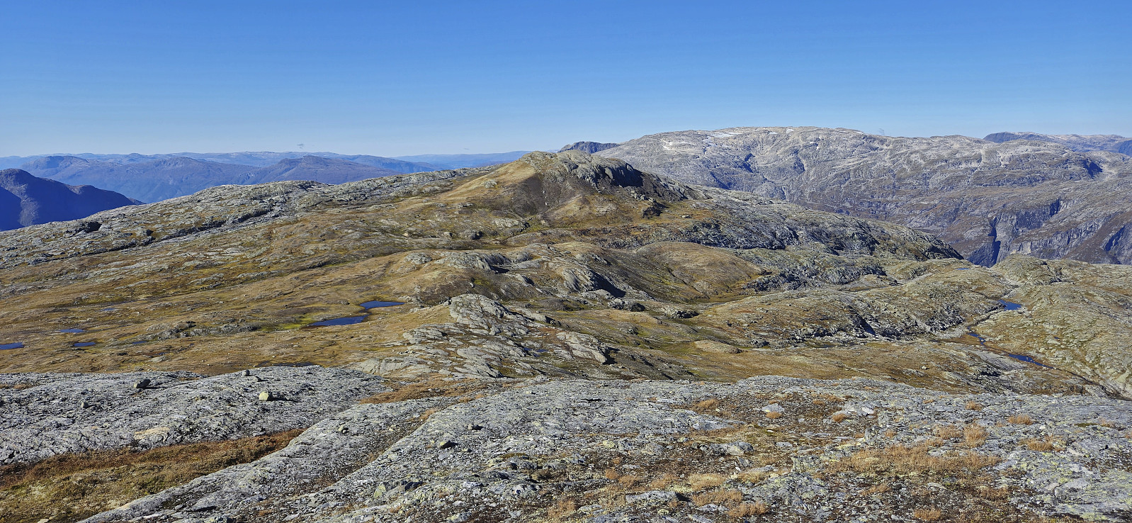
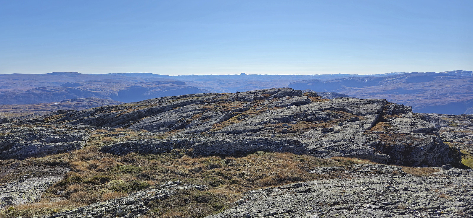
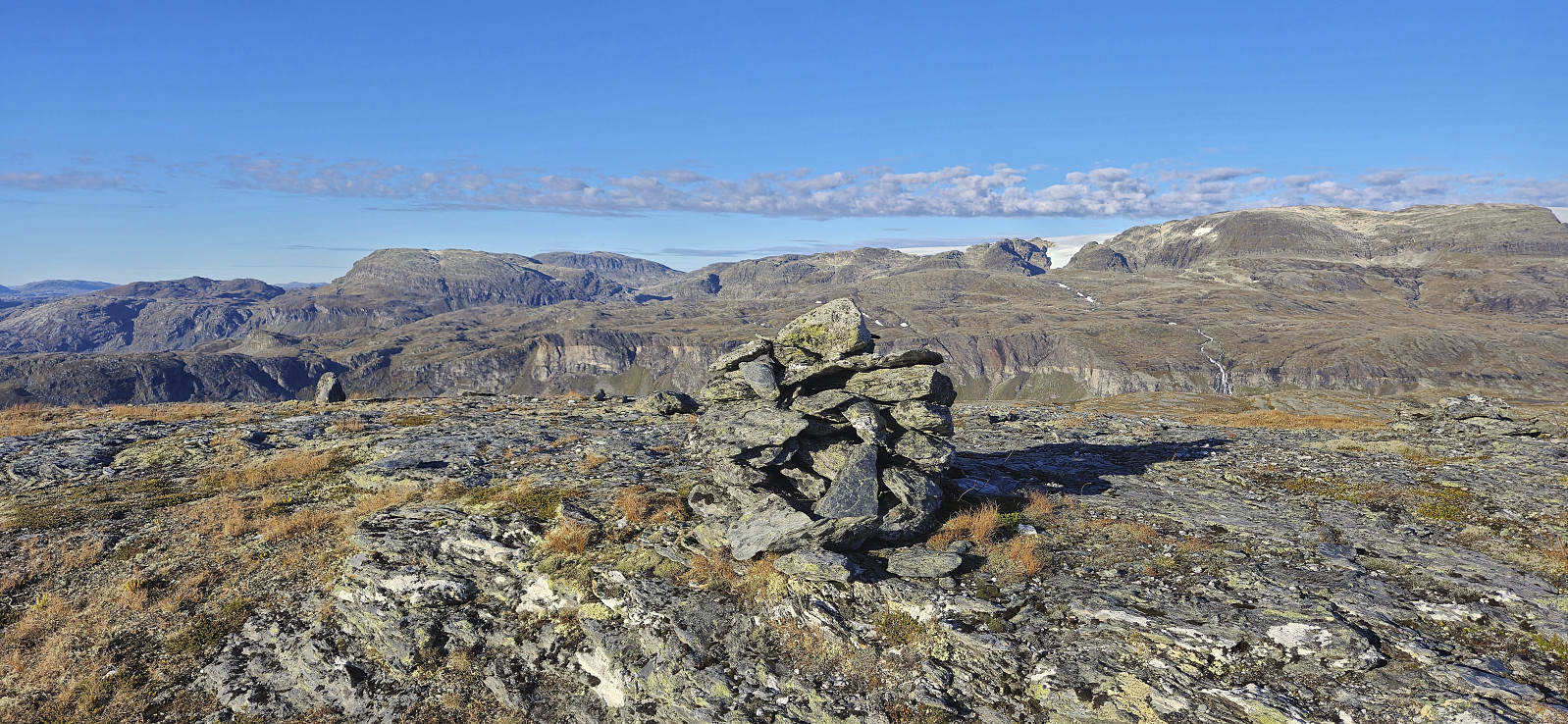
From the summit of Trælhaug we could spot Hardangerbroen in the distance and lots of familiar peaks, such as Midtfjell and Onen, and many more. After a short break, we returned southeast and headed towards Vetle Ishaug. By rounding north of Store Ishaug, we avoided having to reascend almost 200 vertical meters and thus found an easy route to the summit of Vetle Ishaug.
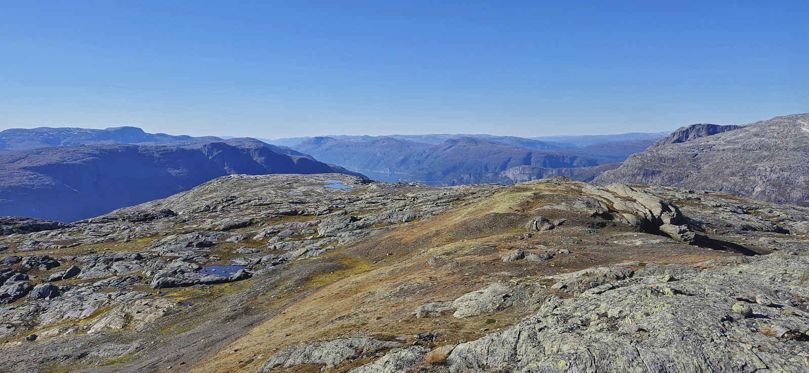
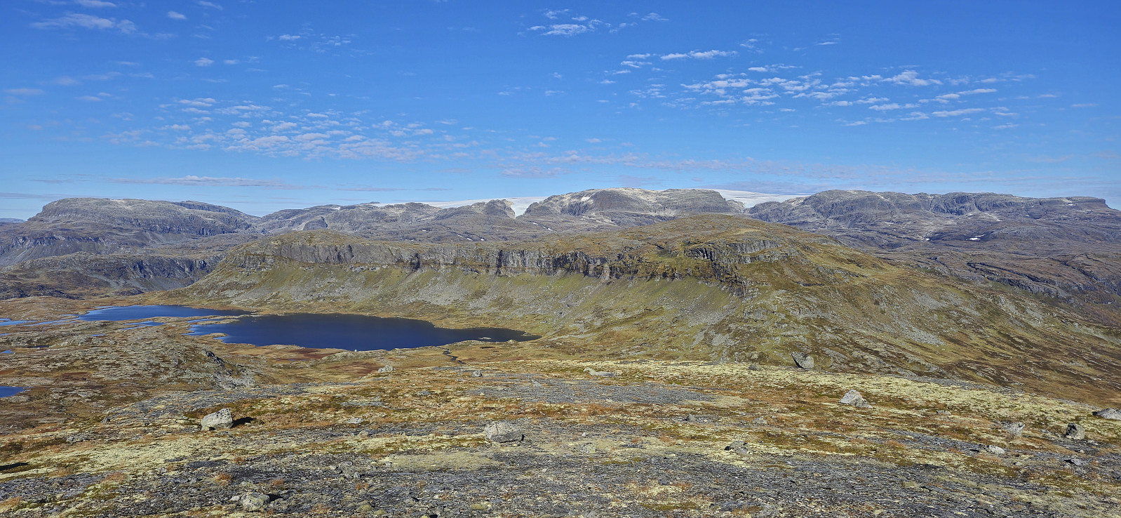
After another short break we continued northeast to what we had by now decided would be our last peak of the day, namely Svolnos. We first descended steeply to south of Svolnosvatnet where we had no trouble crossing the stream Eitro. Next, we followed cairns and a weak trail up along the ridge. Endre was a bit ahead of me at this point and apparently had no problems following the trail, while I at several points struggled to spot the route and thus had to both backtrack and do a bit of easy scrambling to get passed the steepest sections. But from there the terrain turned much less steep and it was straightforward, but surprisingly far (something we both commented on), to reach the summit.
All that then remained was to find a route down to the gravel road along Isdalsvatnet and follow the road back to the parking lot. While there were a couple of steep areas, these could generally be easily avoided and we later even came along a trail/animal track that we partly follow until getting to the cabins/farmhouses in Isdal, from where there was a trail taking us to the gravel road. As we walked southwest along the road the sun disappeared behind the ridge and thus concluded a near perfect day of hiking in Eidfjord.
Tusen takk for turen, Endre!


| Starttidspunkt | 21.09.2024 11:04 (UTC+01:00 ST) |
| Sluttidspunkt | 21.09.2024 18:58 (UTC+01:00 ST) |
| Totaltid | 7t 54min |
| Bevegelsestid | 6t 16min |
| Pausetid | 1t 37min |
| Snittfart totalt | 3,0km/t |
| Snittfart bevegelsestid | 3,8km/t |
| Distanse | 23,8km |
| Høydemeter | 1356m |

Kommentarer