Vest av Trollegilsbotnen and Skjerjevassryggen (31.08.2024)

| Startsted | Svartavatnet parkering (789moh) |
|---|---|
| Sluttsted | Svartavatnet parkering (789moh) |
| Turtype | Fjelltur |
| Turlengde | 5t 12min |
| Distanse | 17,3km |
| Høydemeter | 862m |
| GPS |
|
| Bestigninger | Vest av Trollegilsbotnen (936moh) | 31.08.2024 12:27 |
|---|---|---|
| Skjerjevassryggen (939moh) | 31.08.2024 13:50 | |
| Andre besøkte PBE'er | Svartavatnet parkering (786moh) | 31.08.2024 11:08 |
Vest av Trollegilsbotnen and Skjerjevassryggen
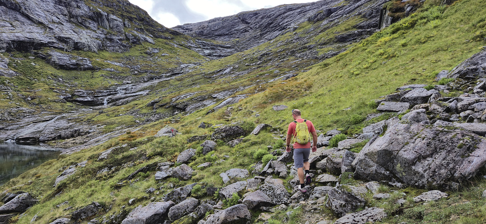
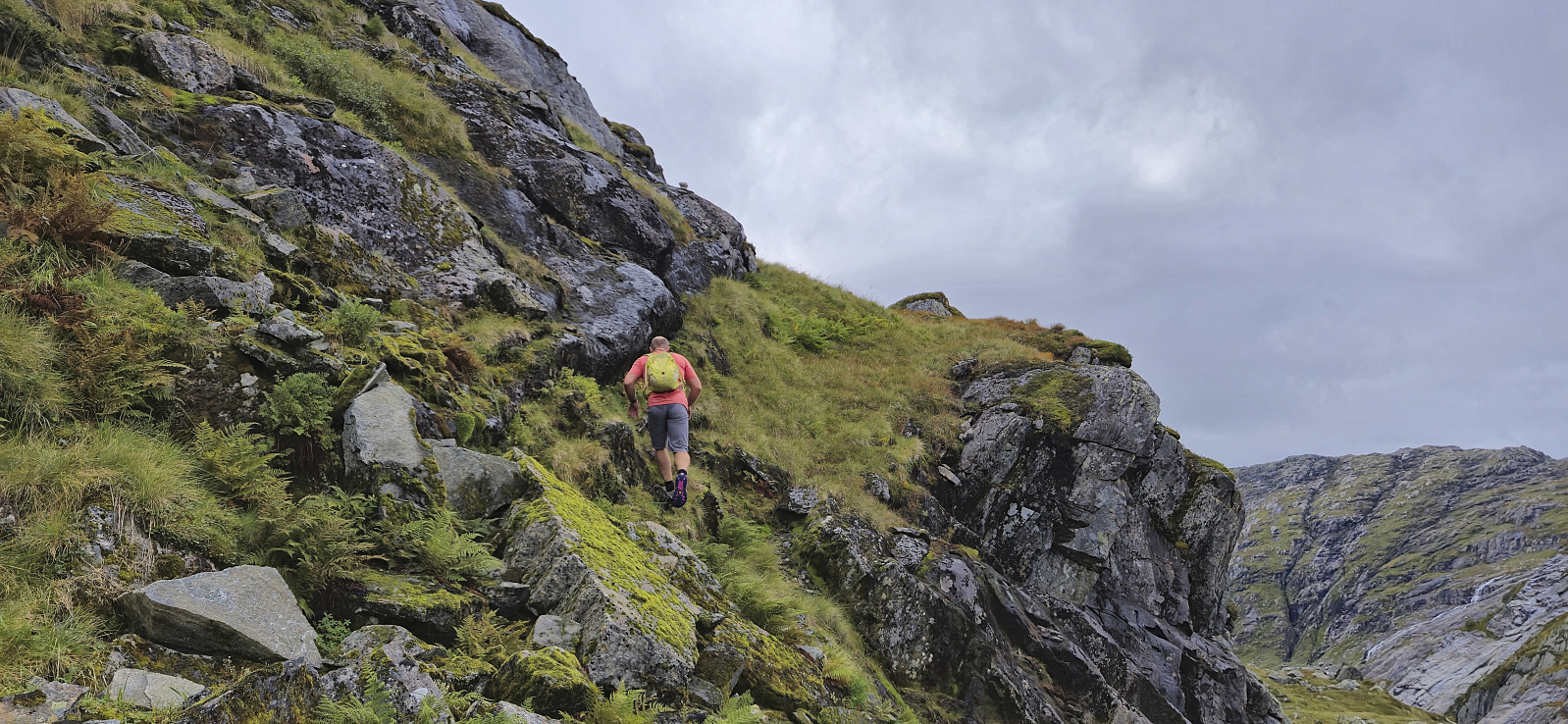
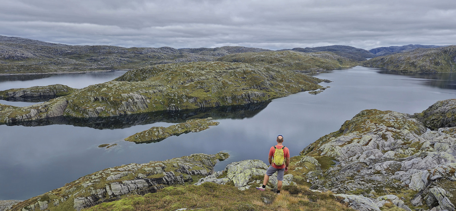
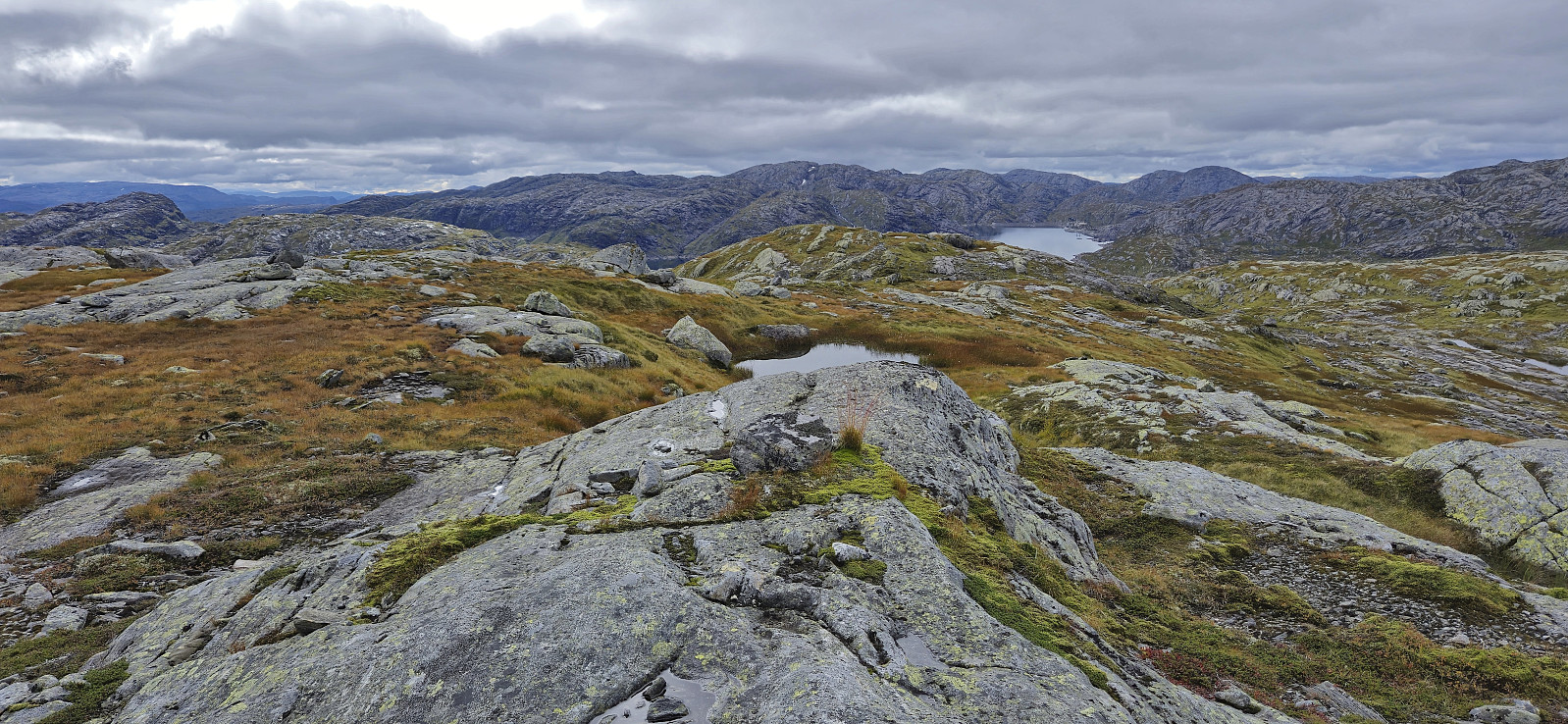
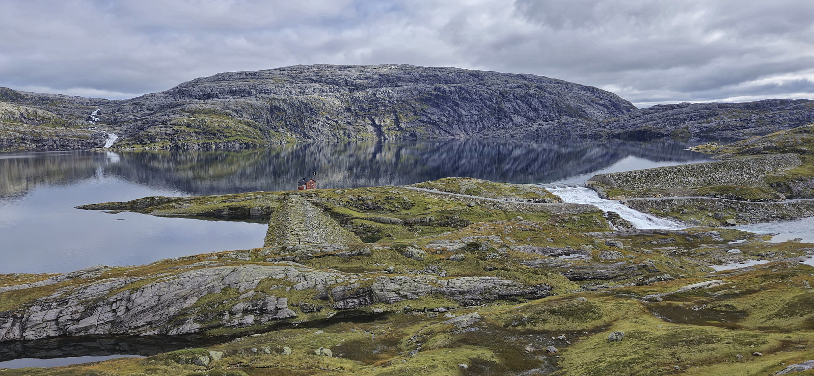
After the drive north from Bergen, Endre and I left the car at the parking lot at the end of the road up to Svartavatnet and started on the marked trail to Vardadalsbu. Upon connecting with the gravel road south of Skjerjevatnet we briefly followed the road southeast before ascending off-trail to the summit of Vest av Trollegilsbotnen. A bit of easy scrambling was required but we reached the summit without any real challenges. Finding the exact summit was more difficult, hence we simply visited all of the likely candidates. Before descending we also made a short detour south to look down into Modalen.
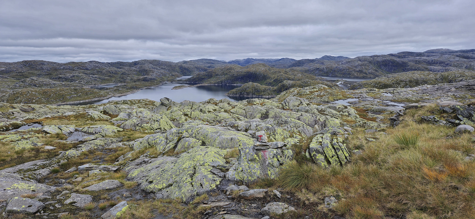
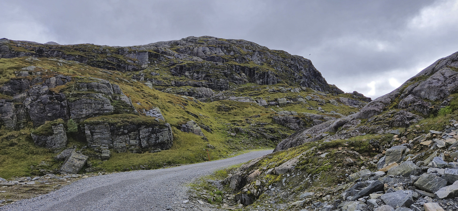
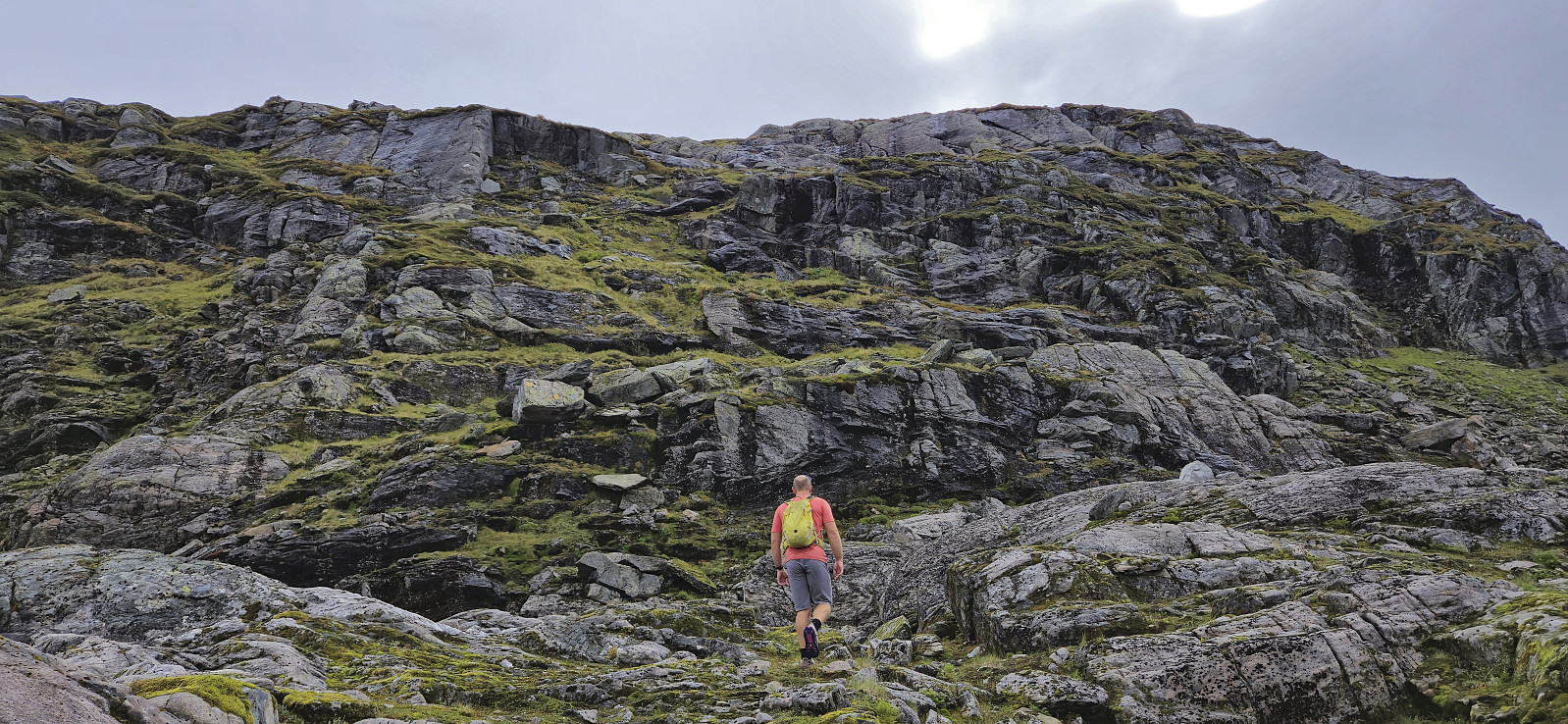
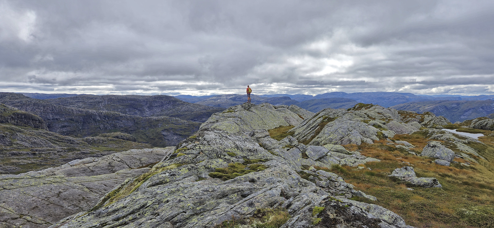
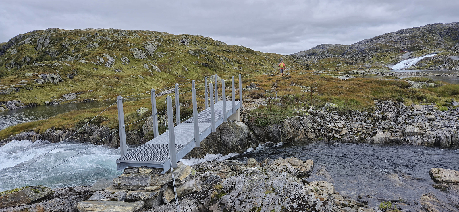
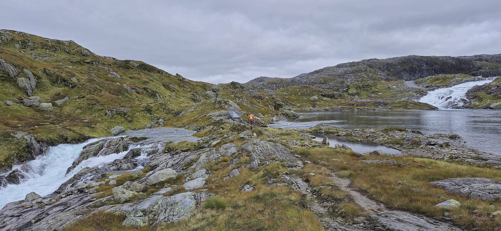
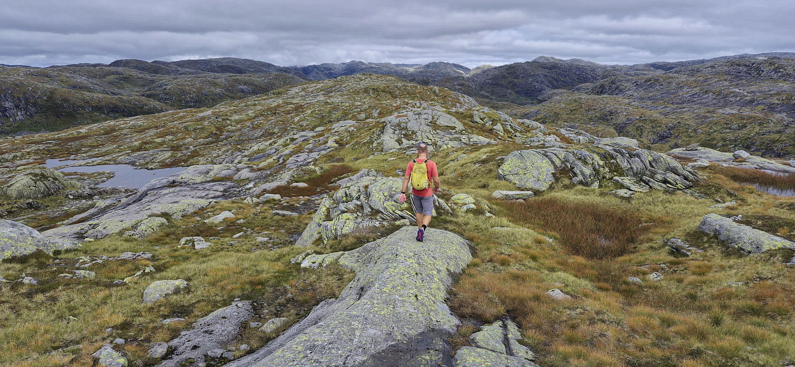
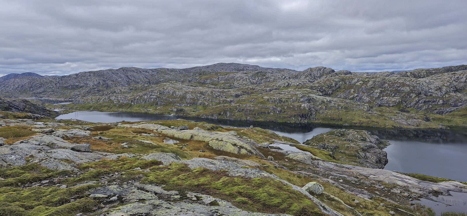
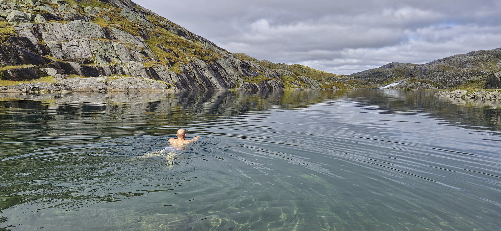
After getting back to the gravel road west of Vest av Trollegilsbotnen we followed the road north until reconnecting with the marked trail to Vardadalsbu. Here we left the gravel road and continued on the trail. This would soon lead us across two metal bridges that enabled us to easily cross rivers that otherwise would have been very difficult, if even possible at all. We did not stay long on the trail however and soon left it to ascend off-trail to the southern summit of Skjerjevassryggen. This was straightforward and the summit was easily reached.
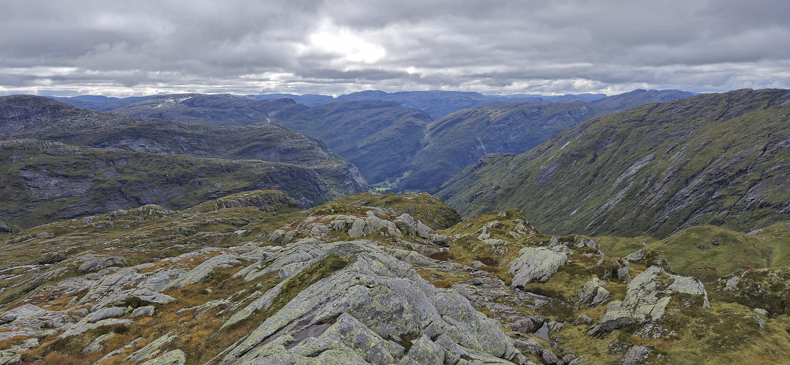
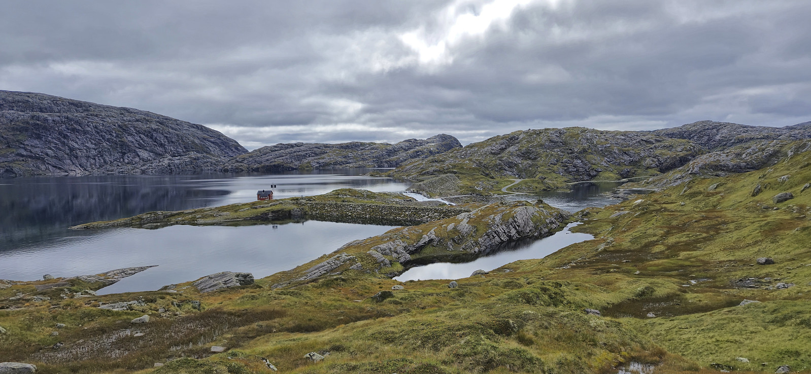
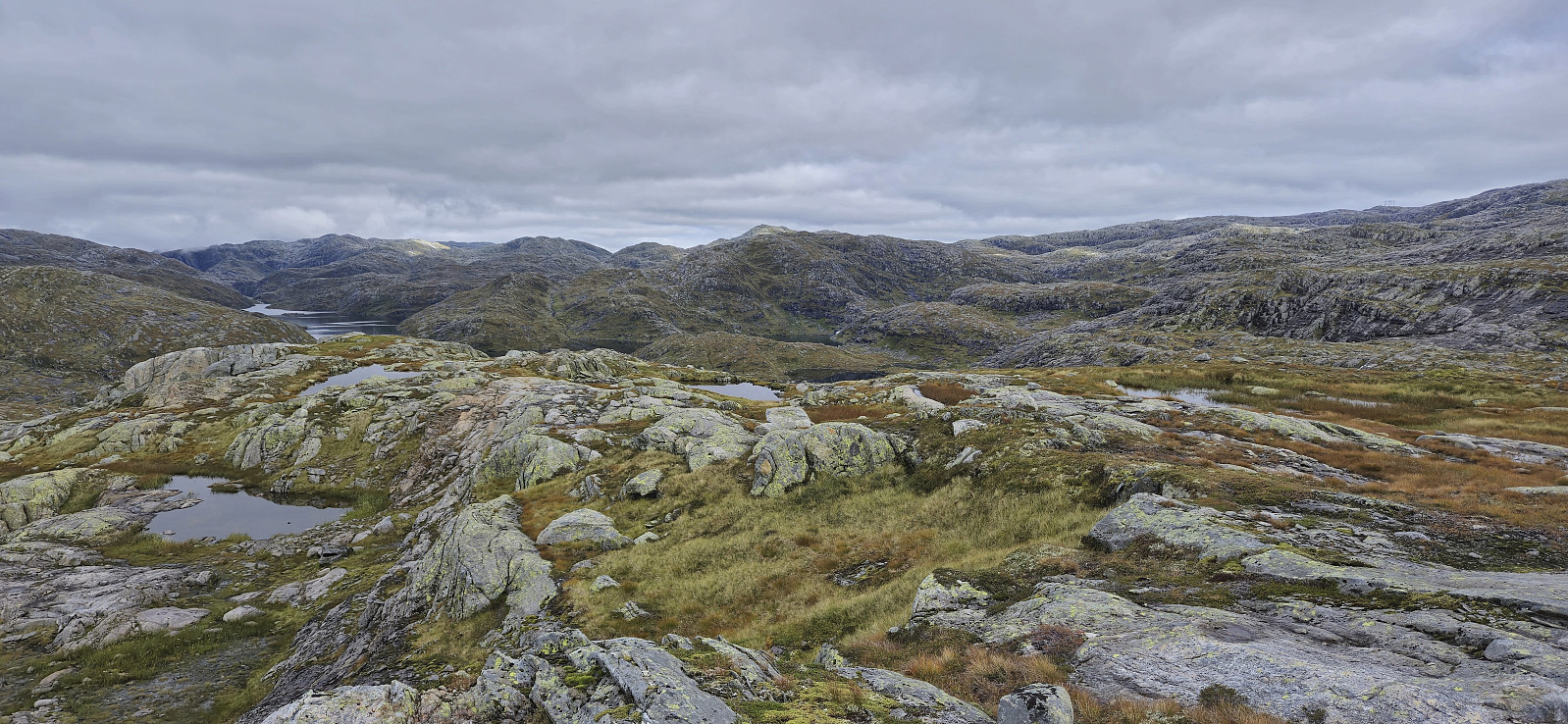
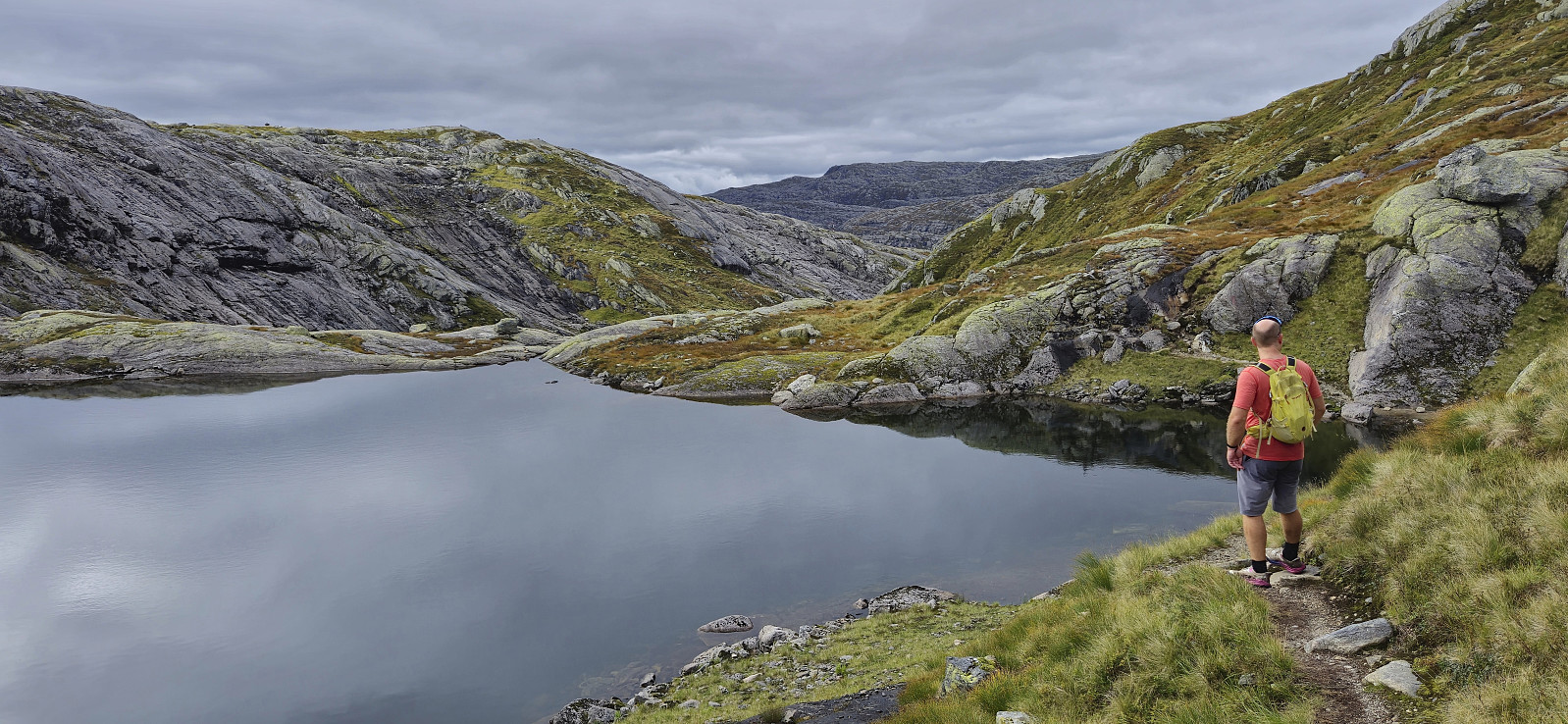
While the southern summit is apparently the highest point of Skjerjevassryggen, the difference is very small. We therefore decided to continue the short distance to also visit the northern summit. There we had a short lunch break before turning back and following more less the same route back to the car, except for obviously skipping a revisit of Vest av Trollegilsbotnen.

| Starttidspunkt | 31.08.2024 11:08 (UTC+01:00 ST) |
| Sluttidspunkt | 31.08.2024 16:19 (UTC+01:00 ST) |
| Totaltid | 5t 12min |
| Bevegelsestid | 4t 32min |
| Pausetid | 0t 39min |
| Snittfart totalt | 3,3km/t |
| Snittfart bevegelsestid | 3,8km/t |
| Distanse | 17,3km |
| Høydemeter | 862m |

Kommentarer