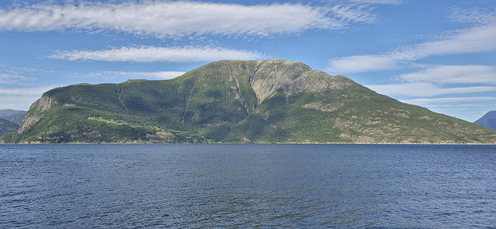
Grimsnuten from Utne (29.07.2024)

| Startsted | Utne kai (2moh) |
|---|---|
| Sluttsted | Utne kai (2moh) |
| Turtype | Fjelltur |
| Turlengde | 6t 45min |
| Distanse | 16,1km |
| Høydemeter | 1285m |
| GPS |
|
| Bestigninger | Grimsnuten (1232moh) | 29.07.2024 13:03 |
|---|
Grimsnuten from Utne
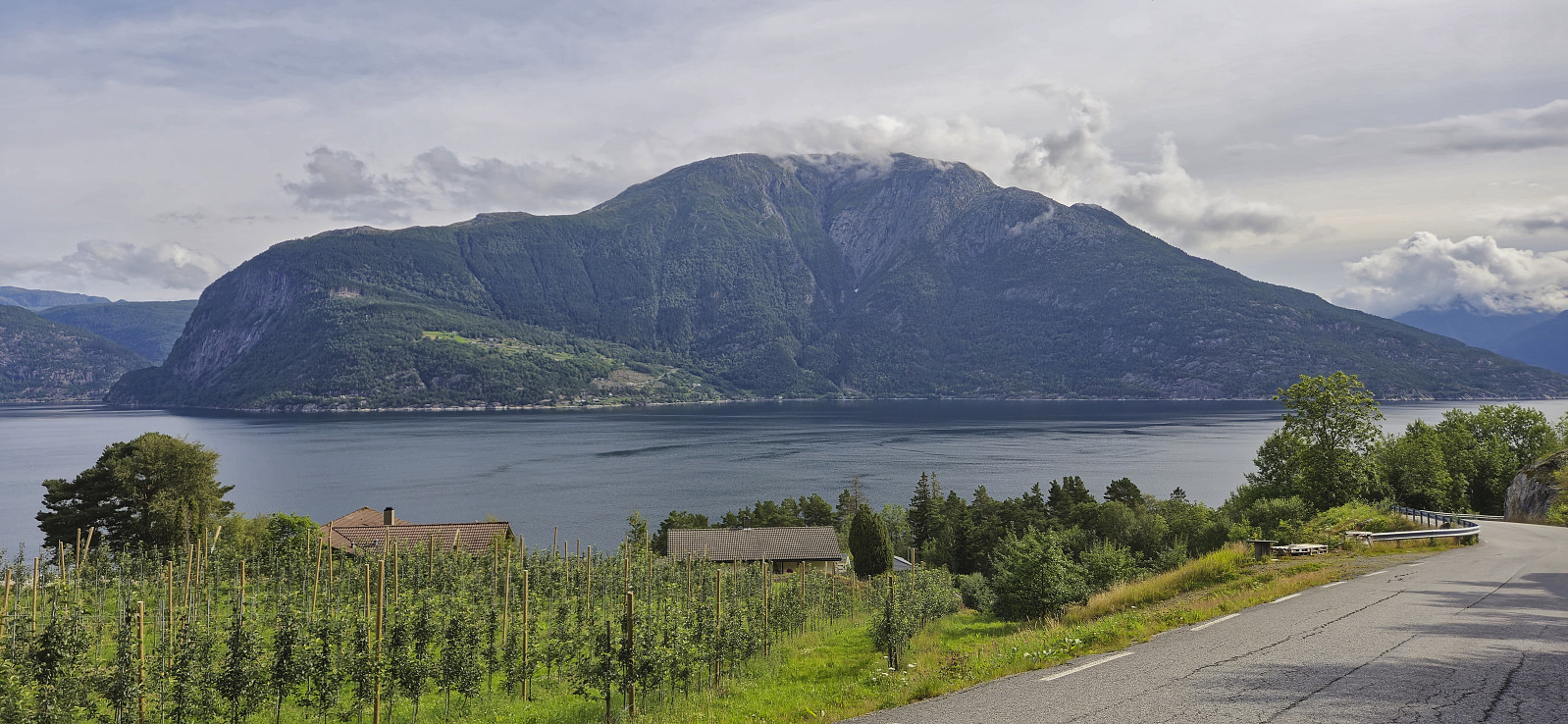
I had initially planned to visit Grimsnuten via the ferry from Kvanndal to Utne, but when discovering that during the summer there is an express boat from Norheimsund I concluded that this would be an even better option. After starting by taking the bus from Bergen I therefore switched to the express boat at Norheimsund and could enjoy excellent views from the fjord for about 55 minutes before arriving at Utne. (Note that there is only a 10-minute transfer window in Norheimsund, hence one has to hope that the bus is on time. We were only around four minutes late and thus made the boat without any issues.)
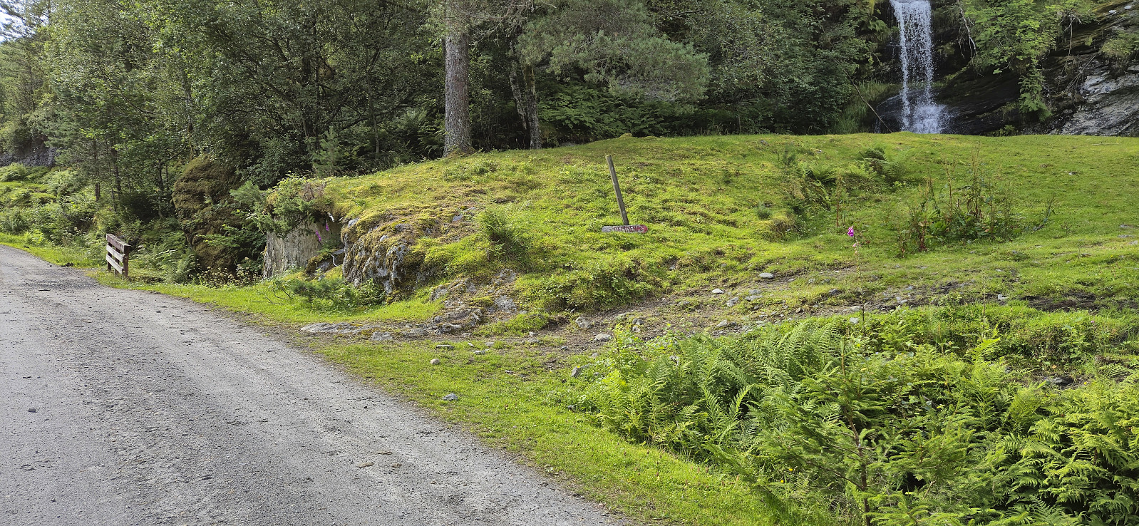
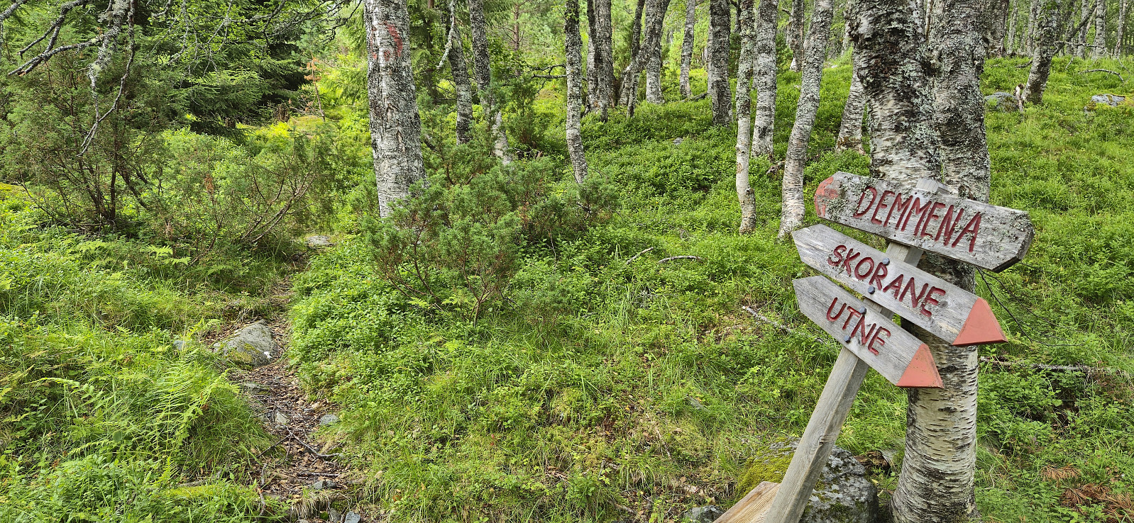
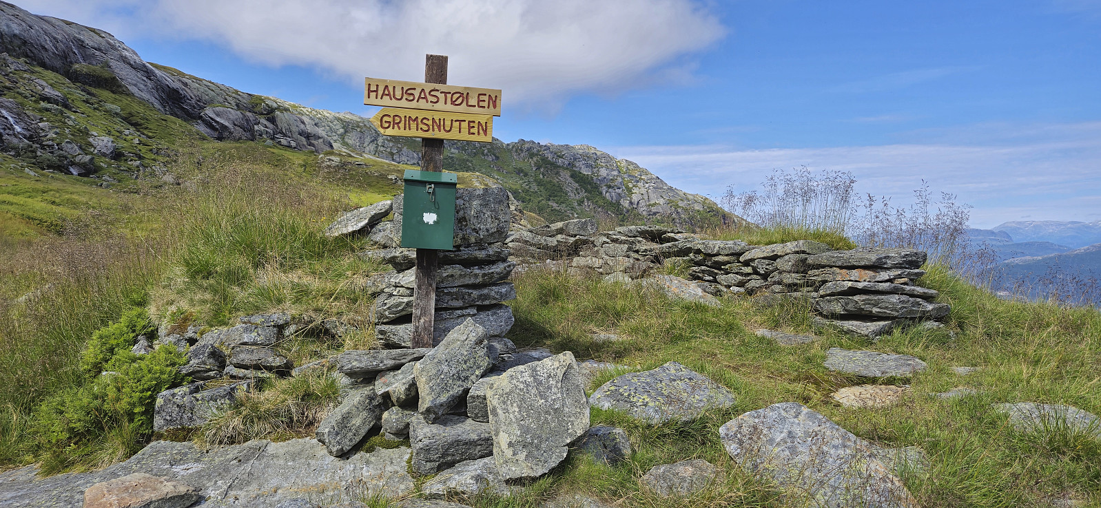
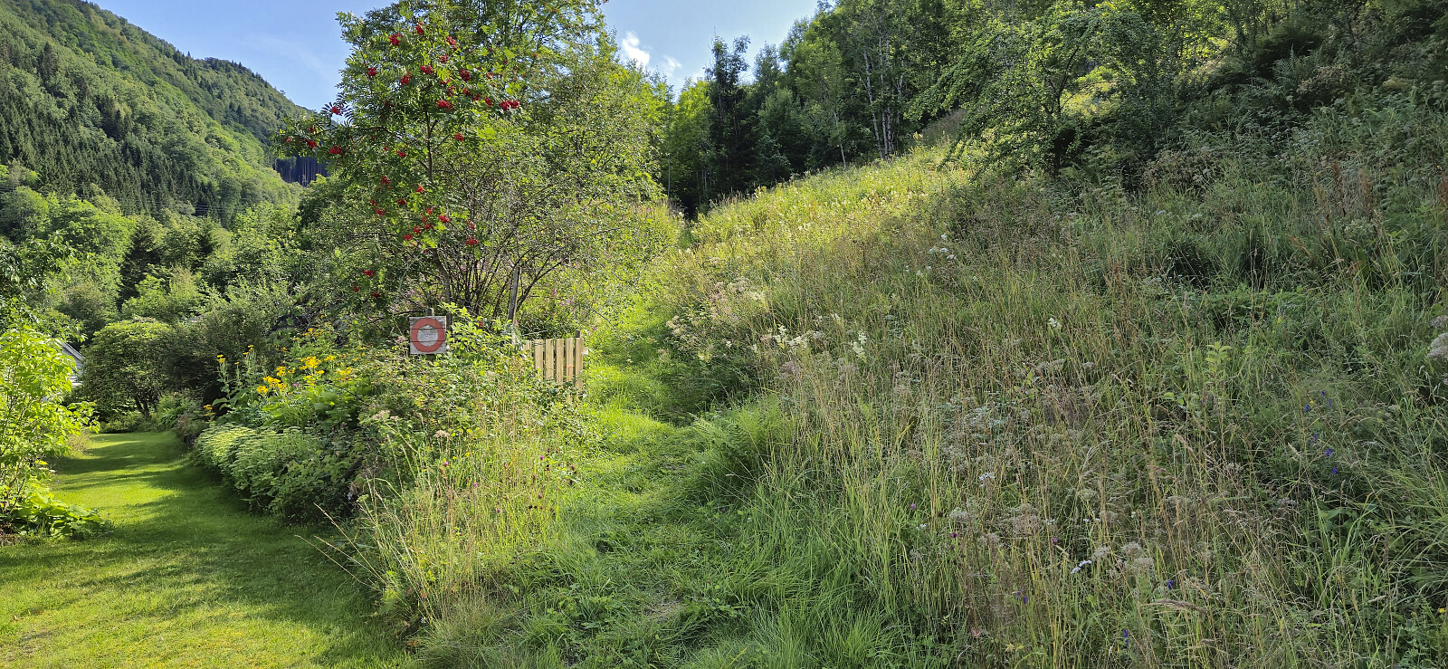
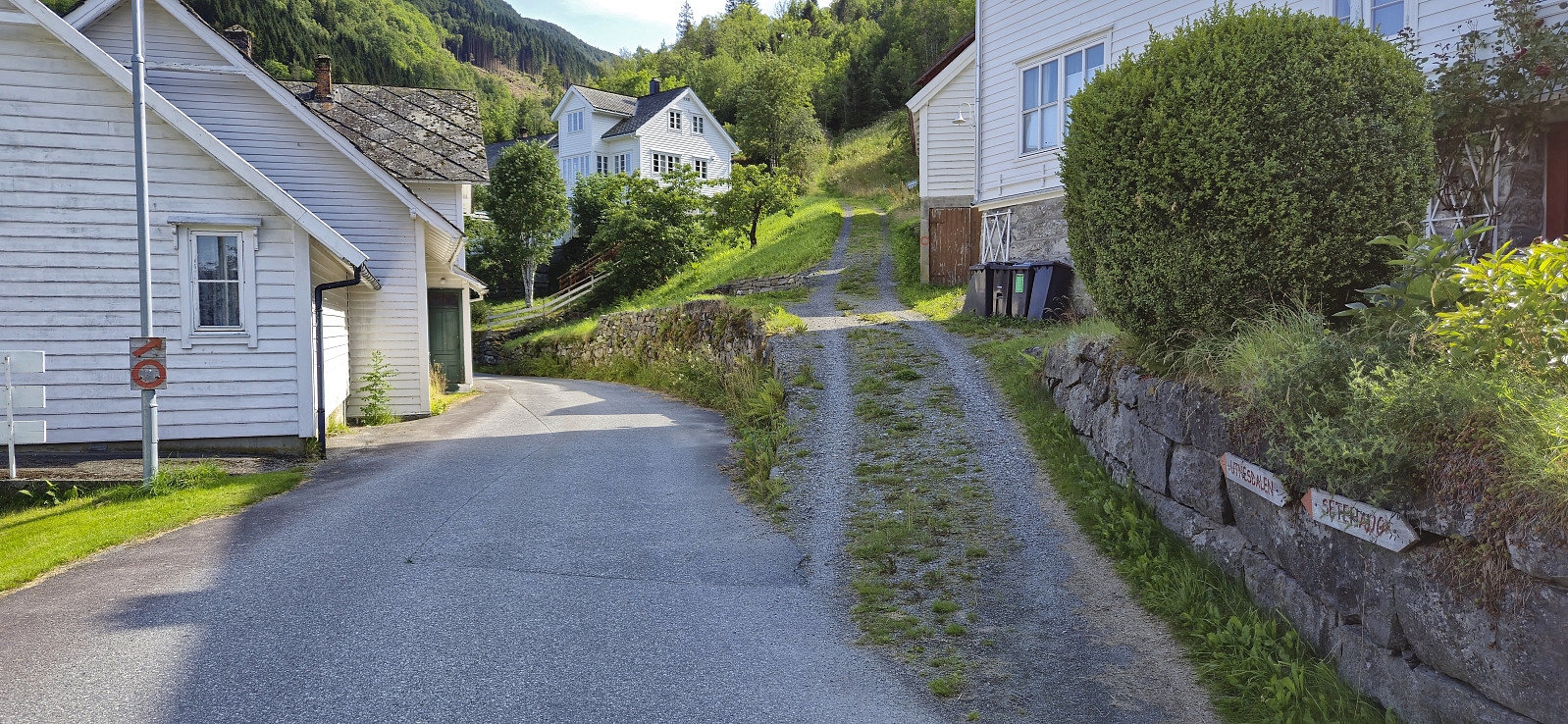
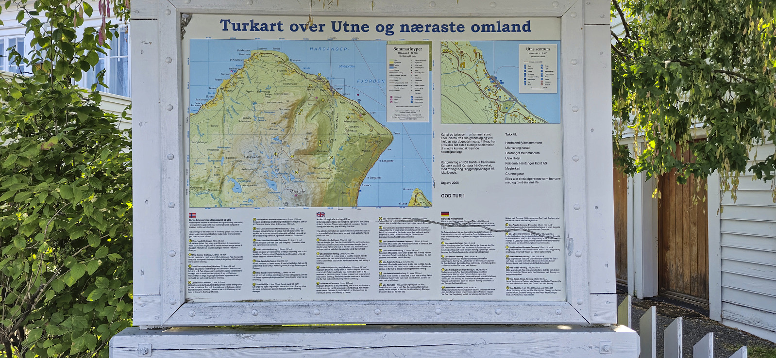
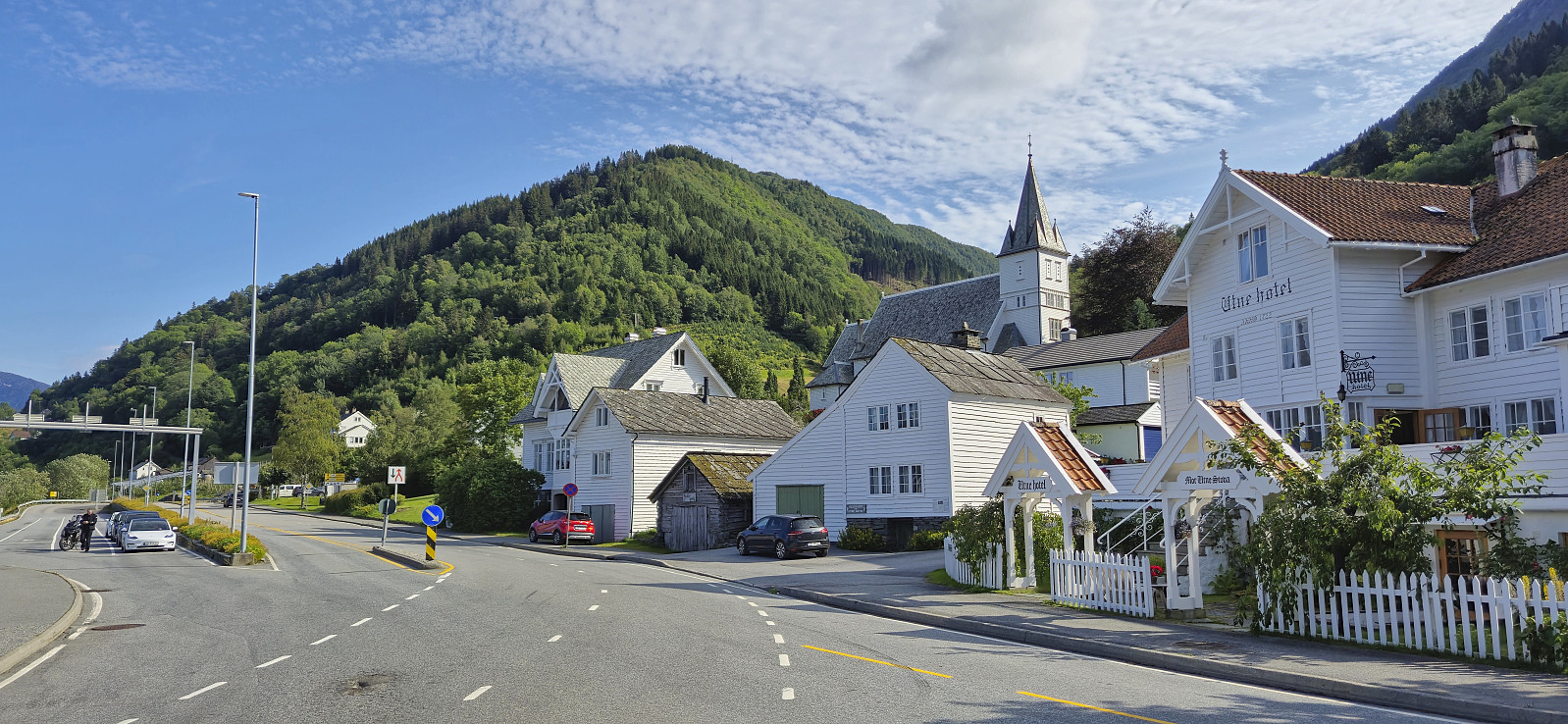
Upon arriving at Utne I followed in the footsteps of Rune Blomberg and his trip report from 2012. This made it straightforward to locate the marked trailhead after a short walk along the paved road and a much shorter walk along a gravel road. The sign at the trailhead however said Demmena and not Grimsnuten, and Grimsnuten would not show up on any signs until reaching Demmena, a small dam around 2.2 km north/northwest of the summit. As far as I could tell there were also no signs for Grimsnuten (nor Demmena) until the sign at the trailhead. There was an information sign about hiking routes near Utne Hotel though (see picture below).
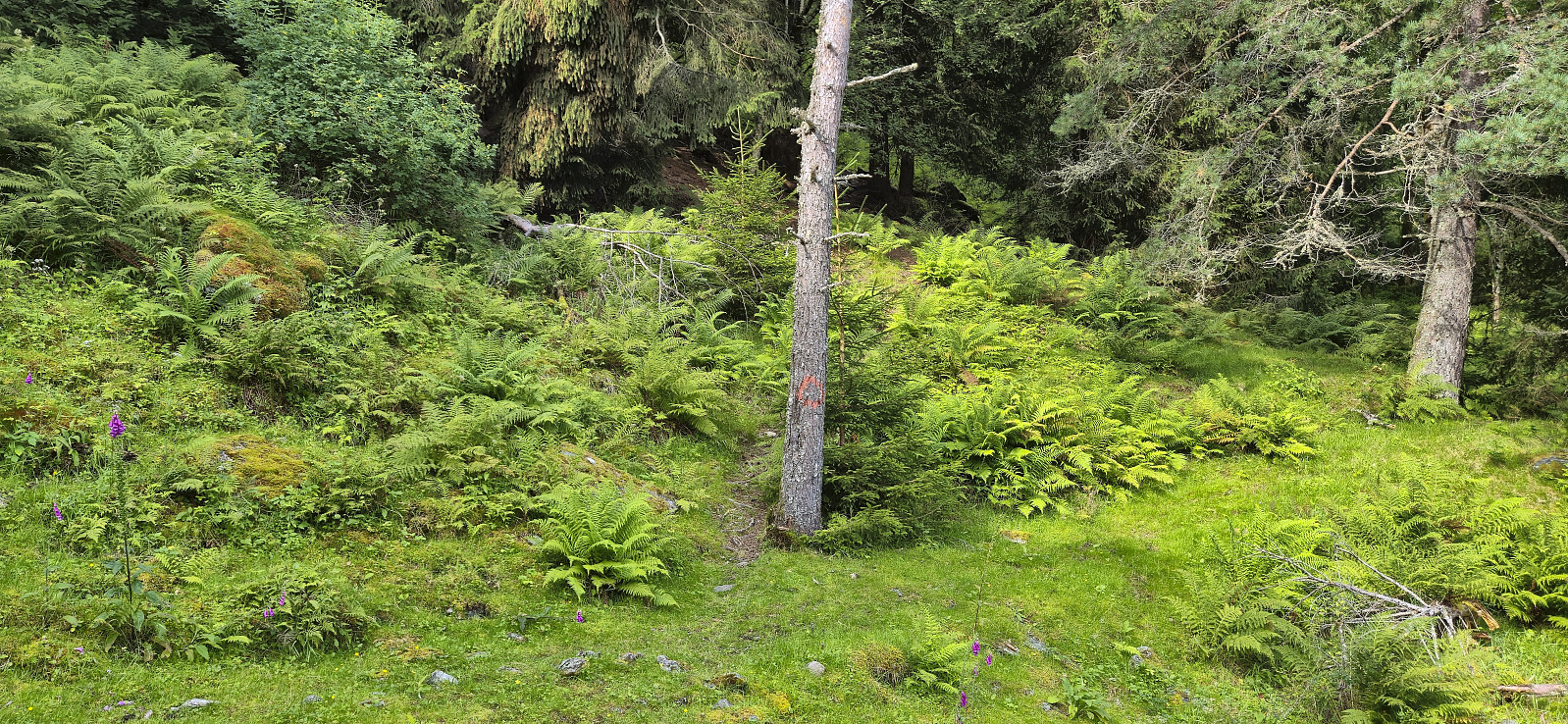
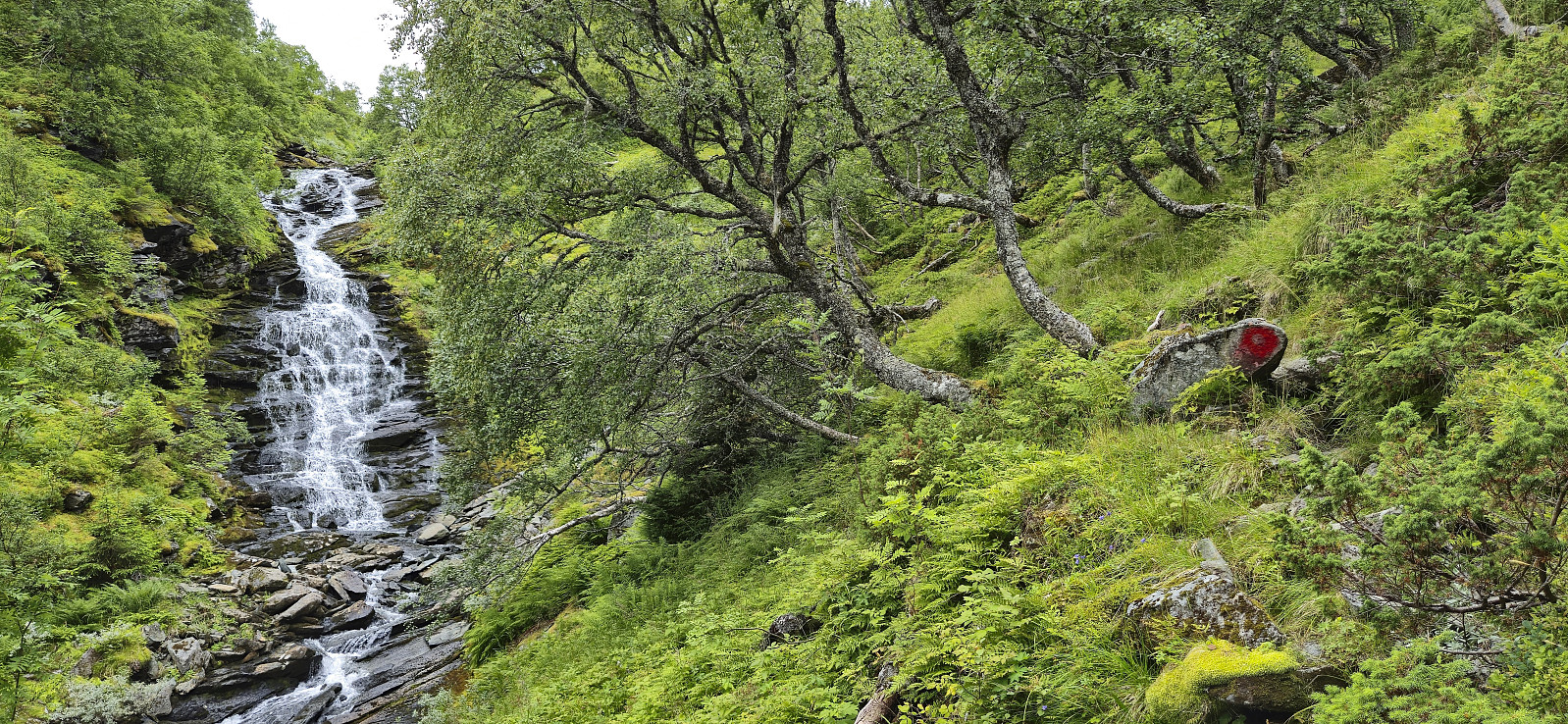
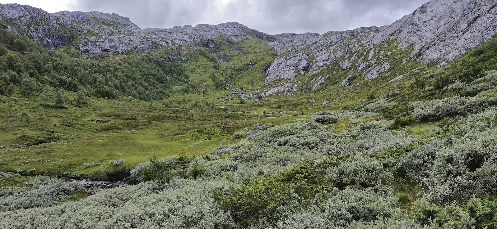
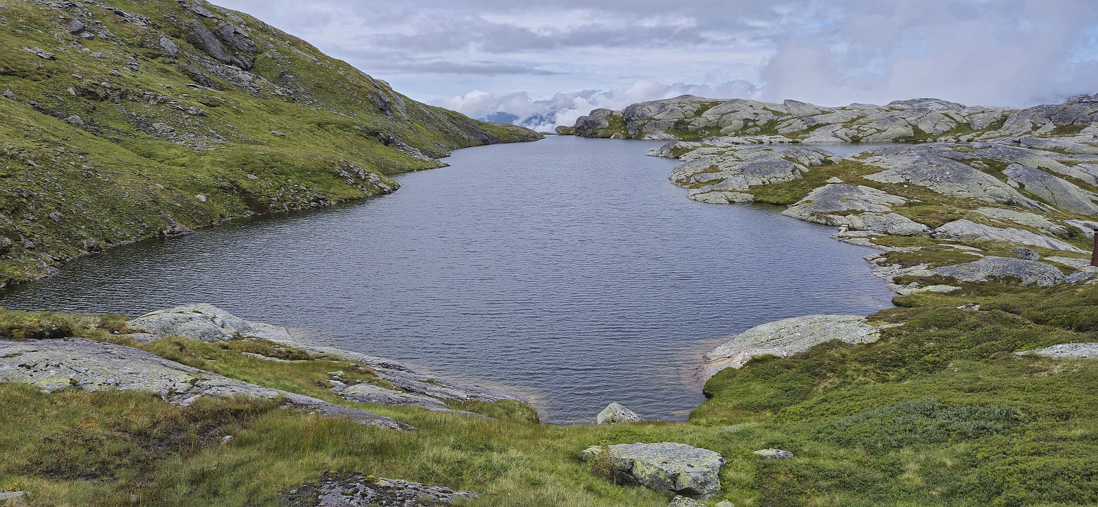
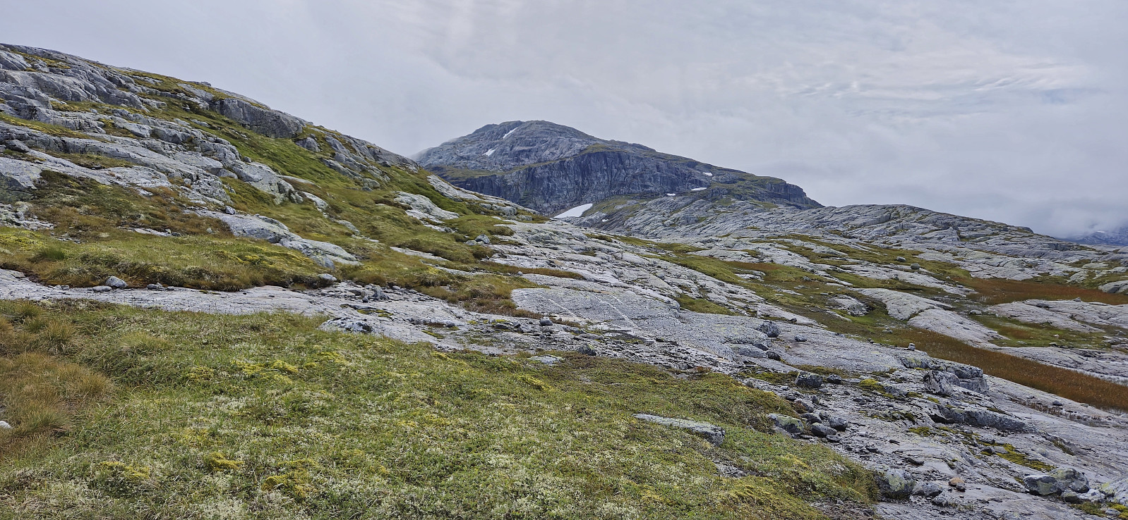
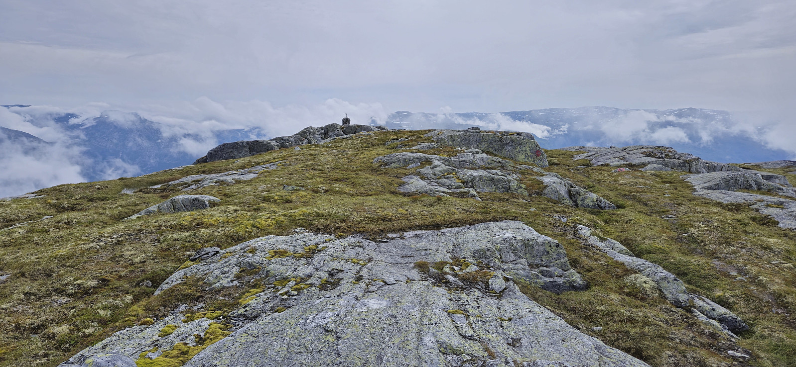
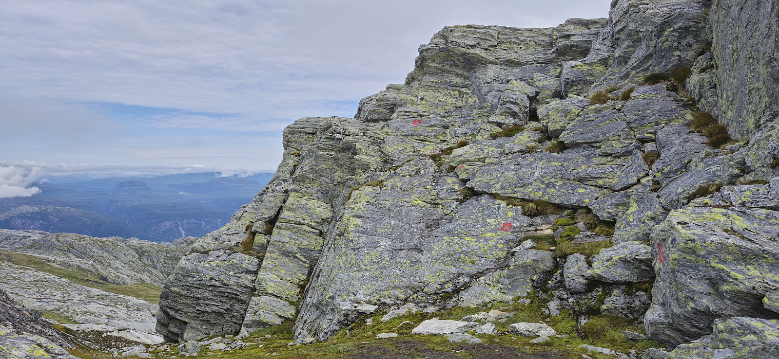
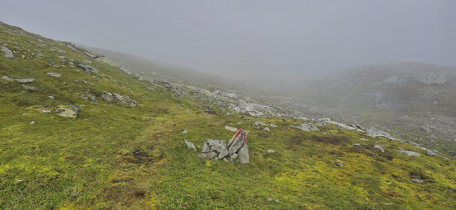
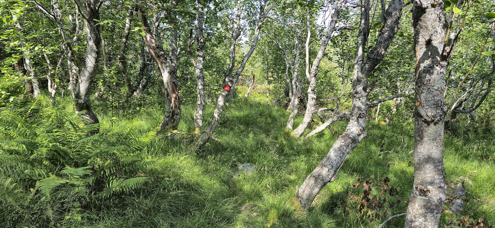
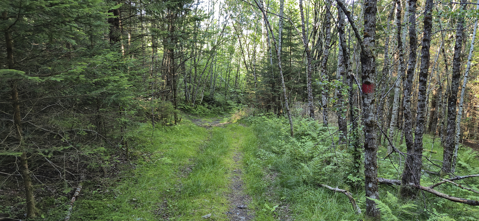
The marked trail was overall easy to follow, although some of the markers could do with a repaint, and there were a couple of occasions where I lost the trail and had to relocate it. After getting above the tree line in Storedalen the trail/route was however straightforward to follow with lots of red painted markers showing the way.
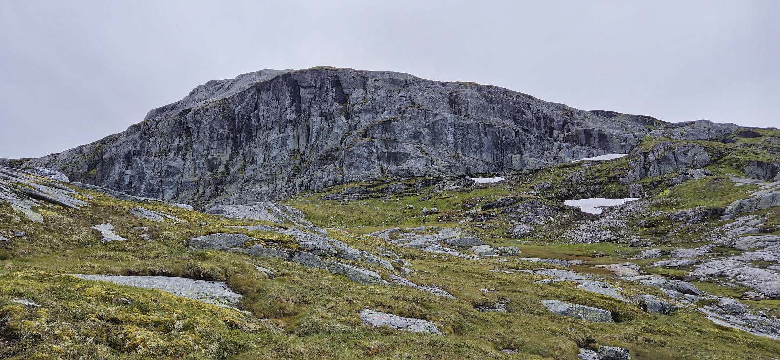
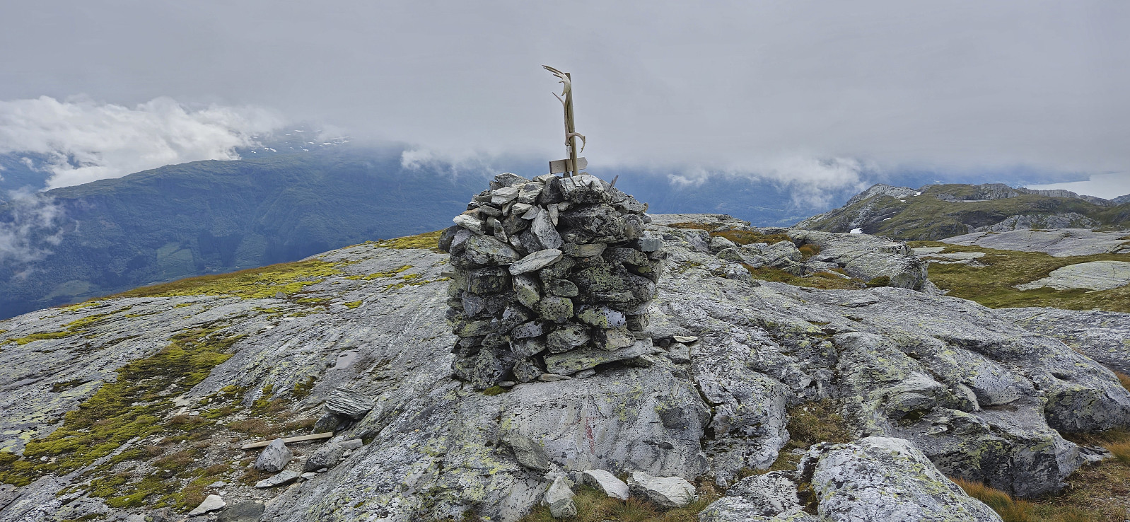
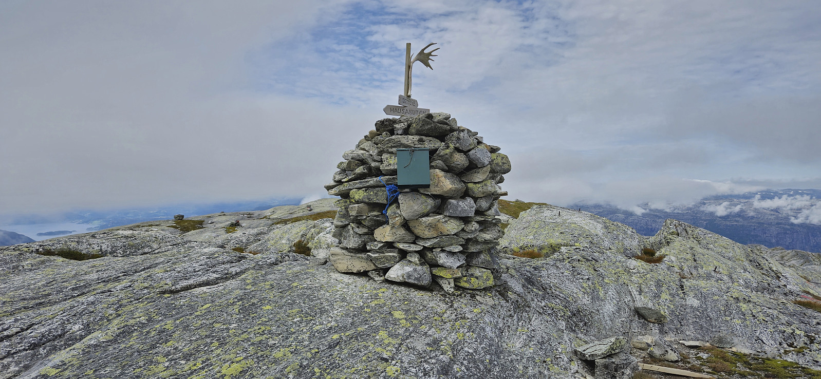
Towards the end, a tiny bit of light scrambling was required to reach the summit cairn. However, calling it the summit cairn is probably not correct, as the hill 70 meters northwest of the cairn is around 0.5 meters higher. I therefore quickly retraced my steps to make sure that I had visited this location as well, before returning to the cairn for my lunch break.
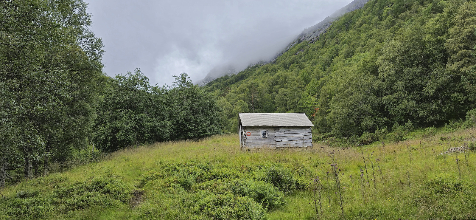
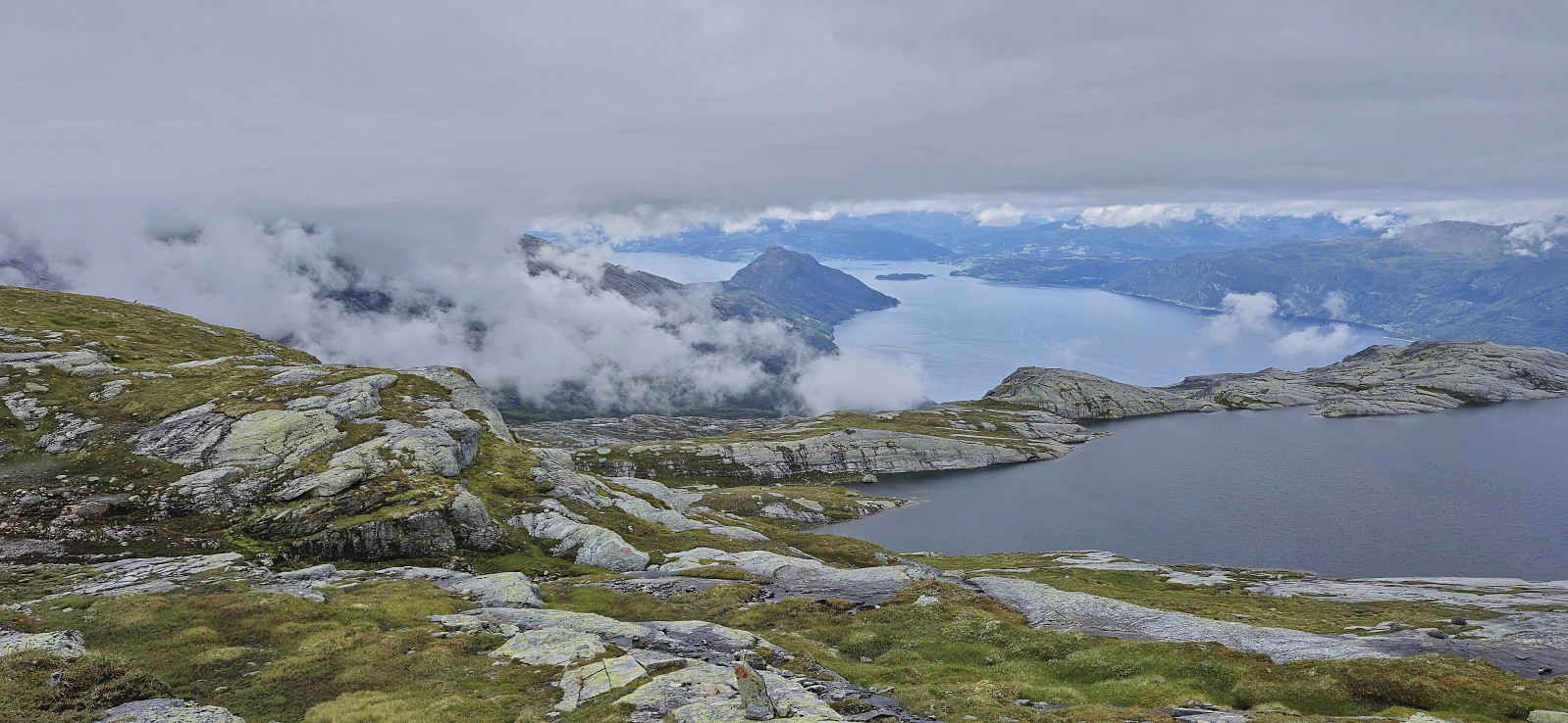
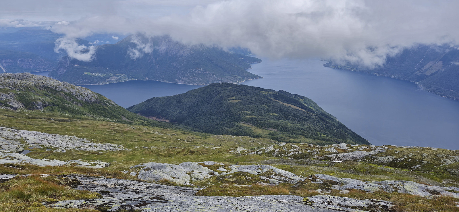
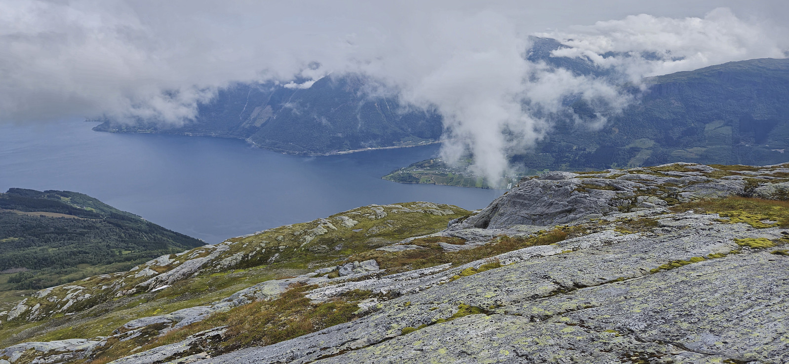
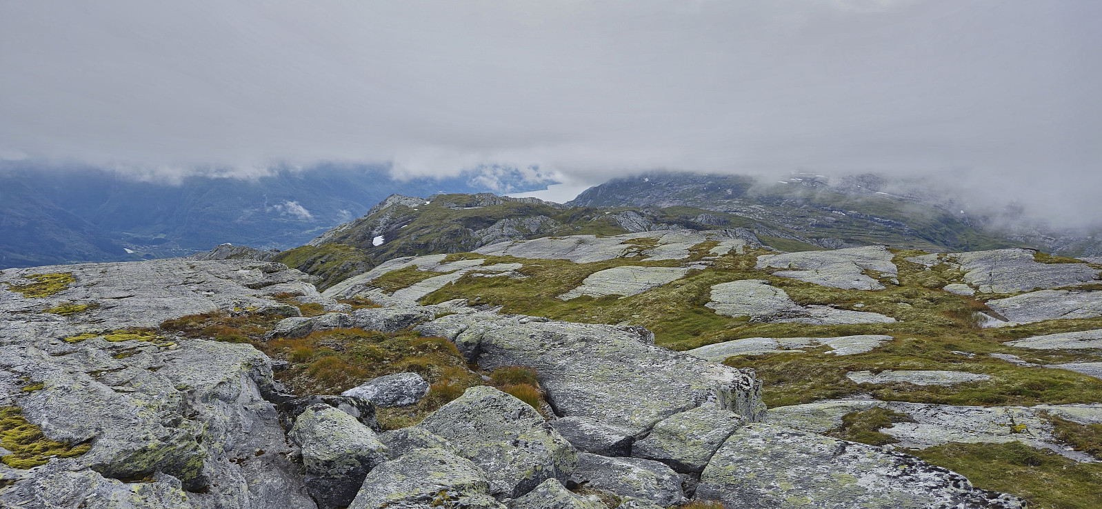
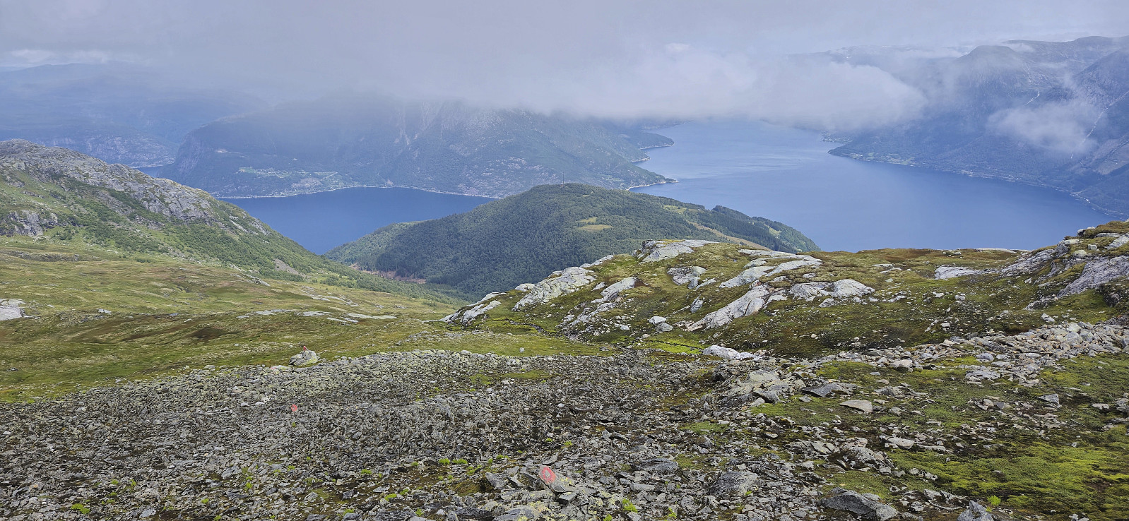
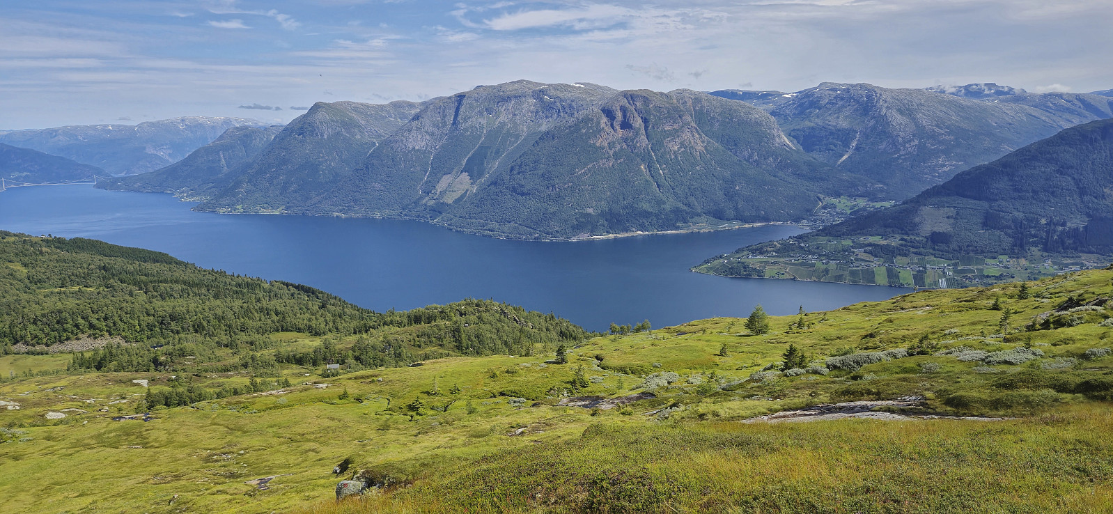
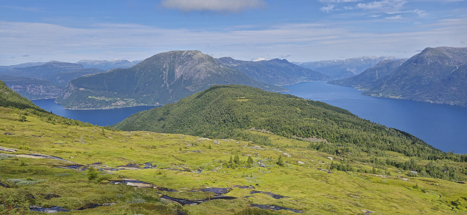
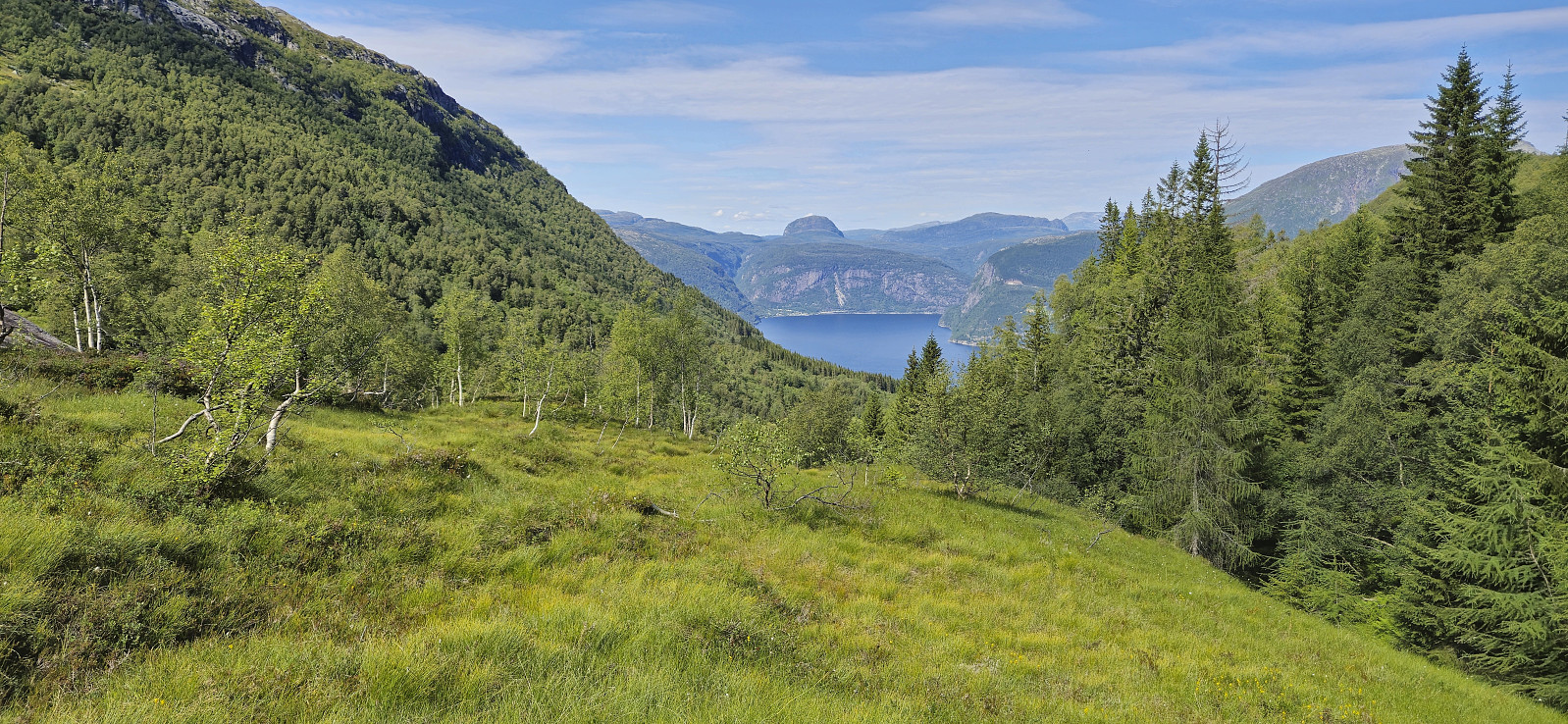
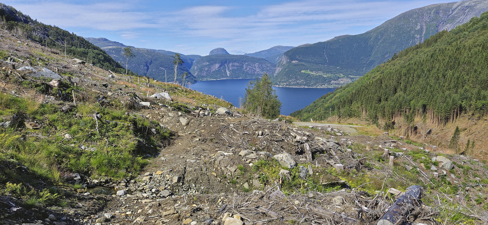
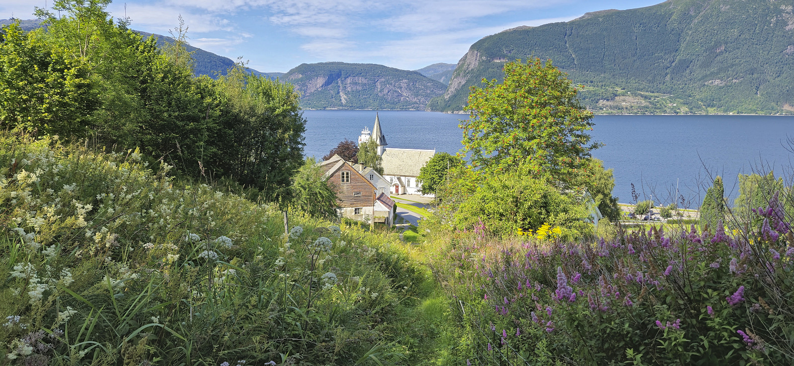
Sadly, most of the views from the summit were hidden by low-hanging clouds and I only got occasional glimpses of what I was missing. After waiting a bit for the views to improve, I gave up and started my descent to the northeast, still following a marked trail. After a short walk inside the clouds/fog with no views at all, I could finally enjoy the spectacular views I had hoped for at the summit. To fully enjoy the views, I had another break next to the ruins of Hausastølen before continuing my descent to Utne.
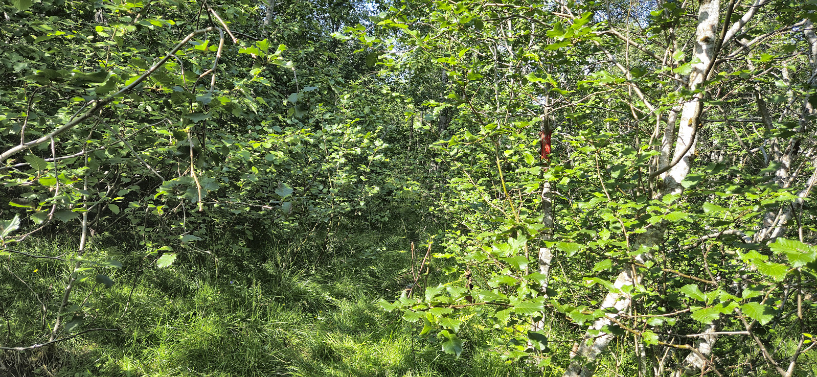
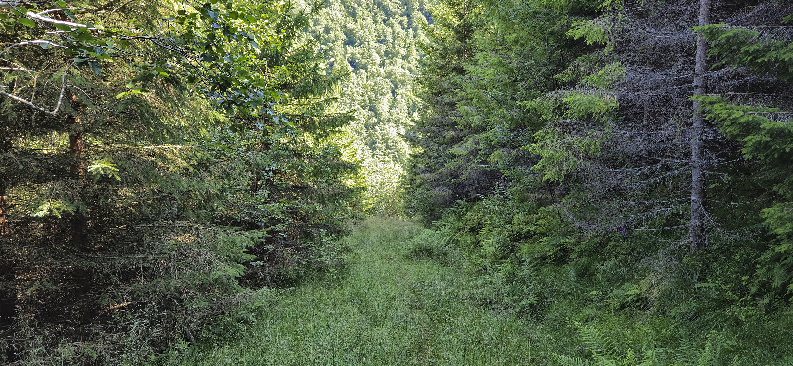
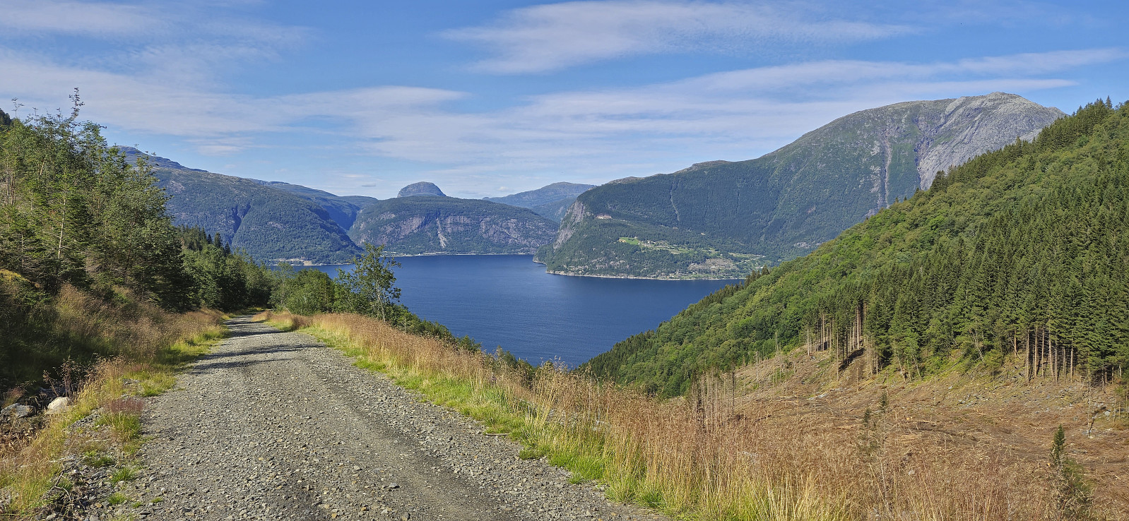
The trail quality for the descent was overall much worse than for the ascent. Lots of wet and muddy sections and later the trail almost disappeared between the tall grasses and ferns. Towards the end the trail however turned into a grass-covered tractor road. I did not stay long on this one though and instead moved to a gravel road. In fact, this was the same road that I had left when starting on the marked trail hours earlier. I did not head all the way back to the trailhead though, and instead later reconnected with the marked trail for a shortcut to Utne.
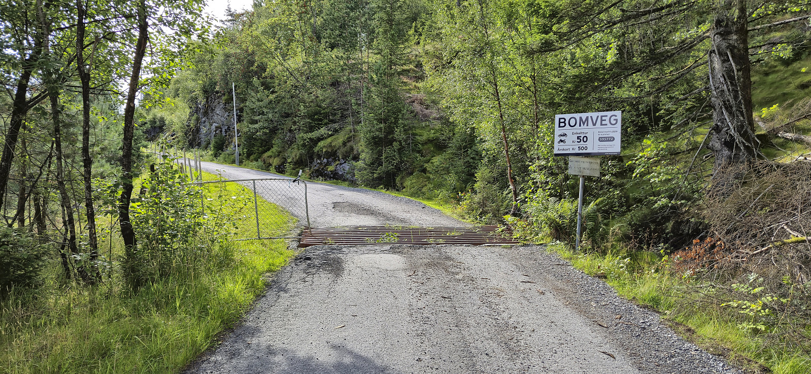
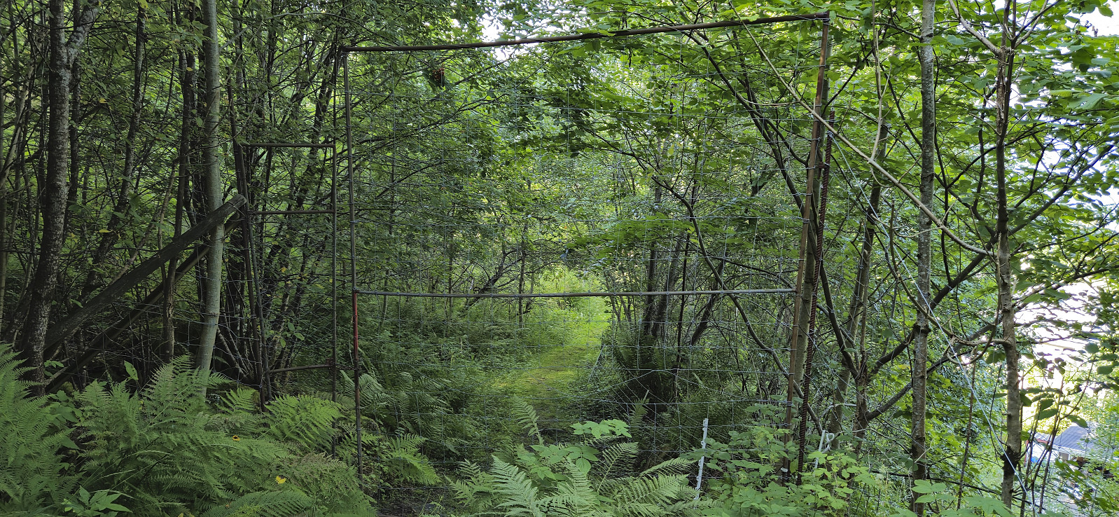
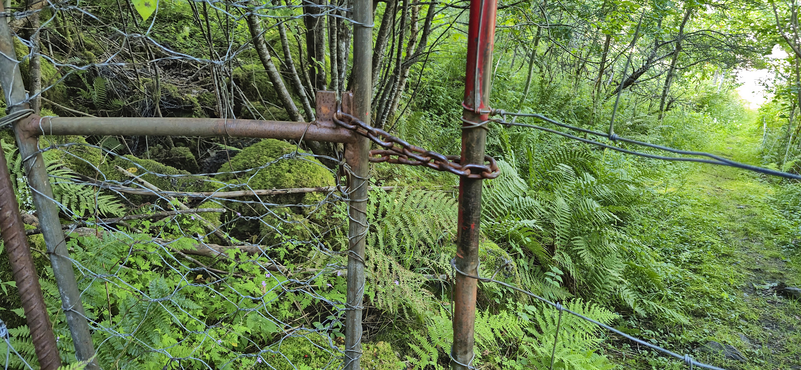
This included passing through a large gate that at first seemed to be locked with a metal chain, but on closer inspection there was thankfully no lock. Hence I could easily pass this final hurdle and complete the hike by returning to Utne and with plenty of time for an ice cream while waiting for the boat back to Norheimsund. Upon returning to Norheimsund, all that remained was to wait around 50 minutes for the bus back to Bergen.
To conclude, using the express boat to visit Grimsnuten was clearly a success and can be highly recommended!

| Starttidspunkt | 29.07.2024 09:55 (UTC+01:00 ST) |
| Sluttidspunkt | 29.07.2024 16:40 (UTC+01:00 ST) |
| Totaltid | 6t 45min |
| Bevegelsestid | 5t 50min |
| Pausetid | 0t 54min |
| Snittfart totalt | 2,4km/t |
| Snittfart bevegelsestid | 2,8km/t |
| Distanse | 16,1km |
| Høydemeter | 1284m |

Kommentarer