Stanghelle to Dale via Smørstakken (27.07.2024)

| Startpunkt | Stanghelle stasjon (3m) |
|---|---|
| Endpunkt | Dale stasjon (45m) |
| Tourcharakter | Bergtour |
| Tourlänge | 3h 53min |
| Entfernung | 12,0km |
| Höhenmeter | 698m |
| GPS |
|
| Besteigungen | Smørstakken (395m) | 27.07.2024 15:17 |
|---|---|---|
| Besuche anderer PBE | Stanghelle stasjon (4m) | 27.07.2024 13:29 |
| Varden på Åsen (141m) | 27.07.2024 14:03 | |
| Berget (247m) | 27.07.2024 14:59 | |
| Dale stasjon (45m) | 27.07.2024 17:23 |
Stanghelle to Dale via Smørstakken
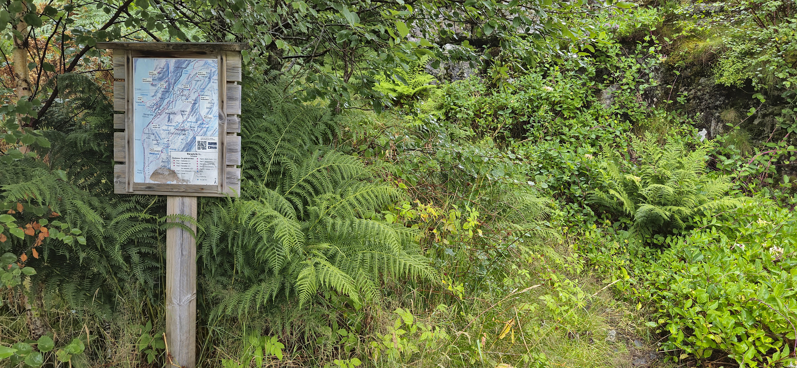
Due to an unstable weather forecast I opted for a return to Stanghelle with the main objective of visiting Smørstakken. As I got off the train I was welcomed by an intensive rain shower. I tried waiting it out at the station, but finally gave up and started the hike, and except for short breaks it would not really stop raining for another 2.5 hours.
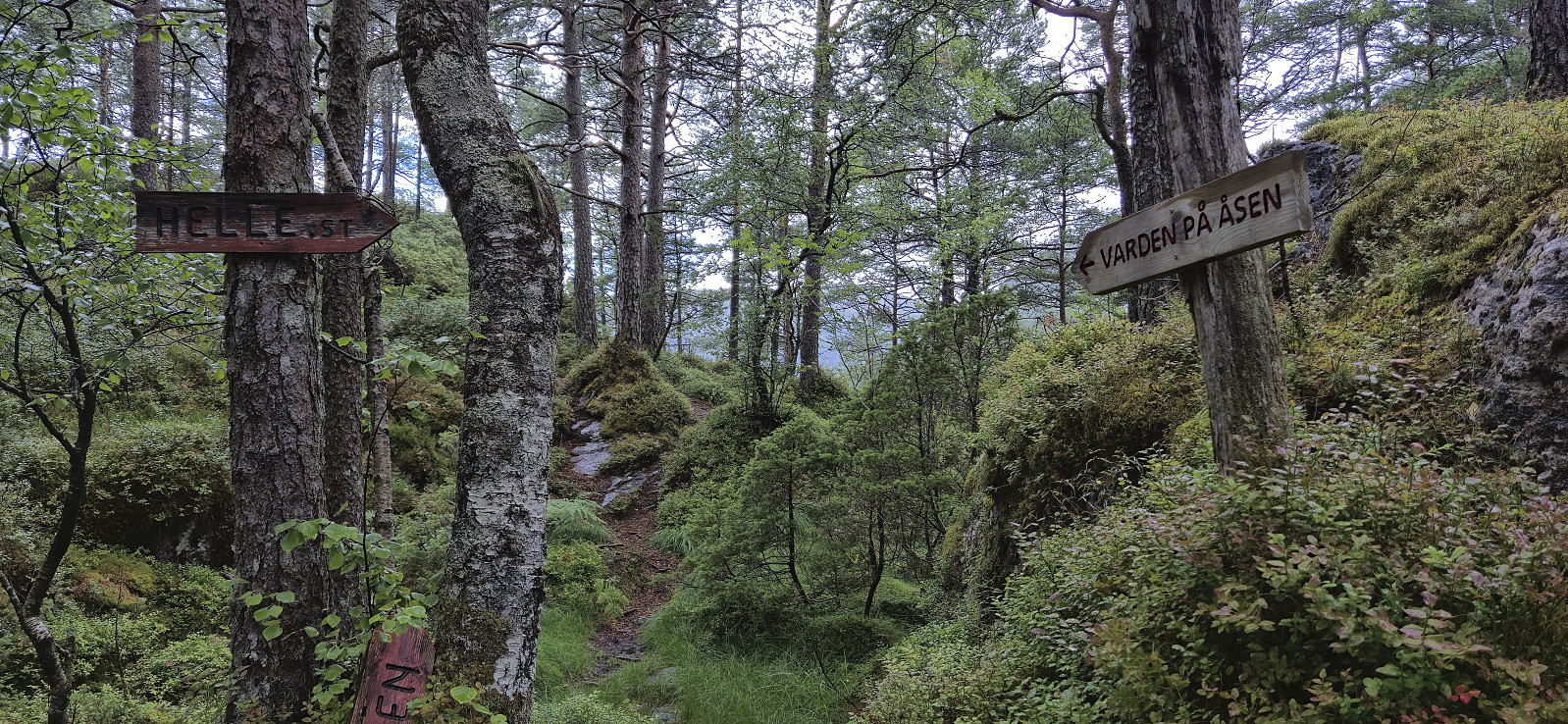
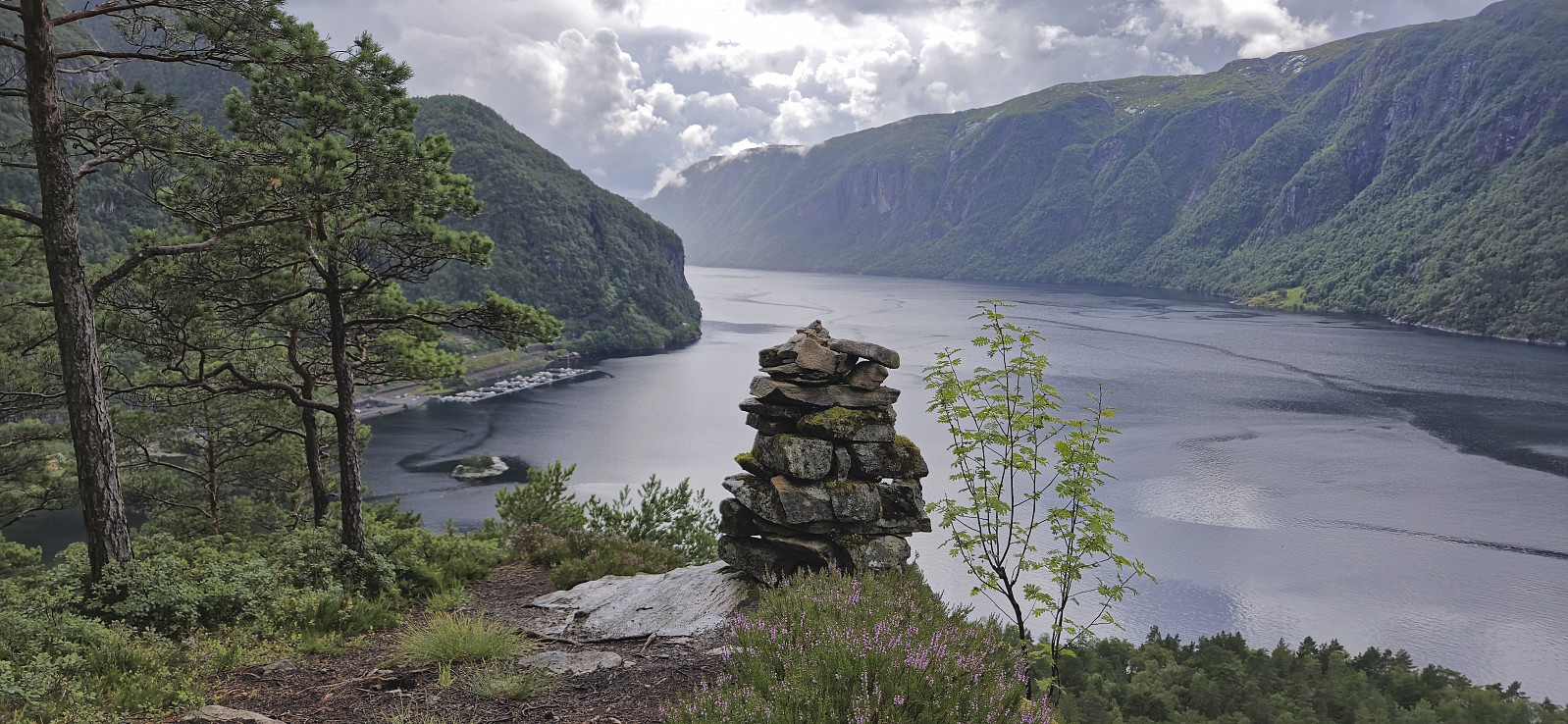
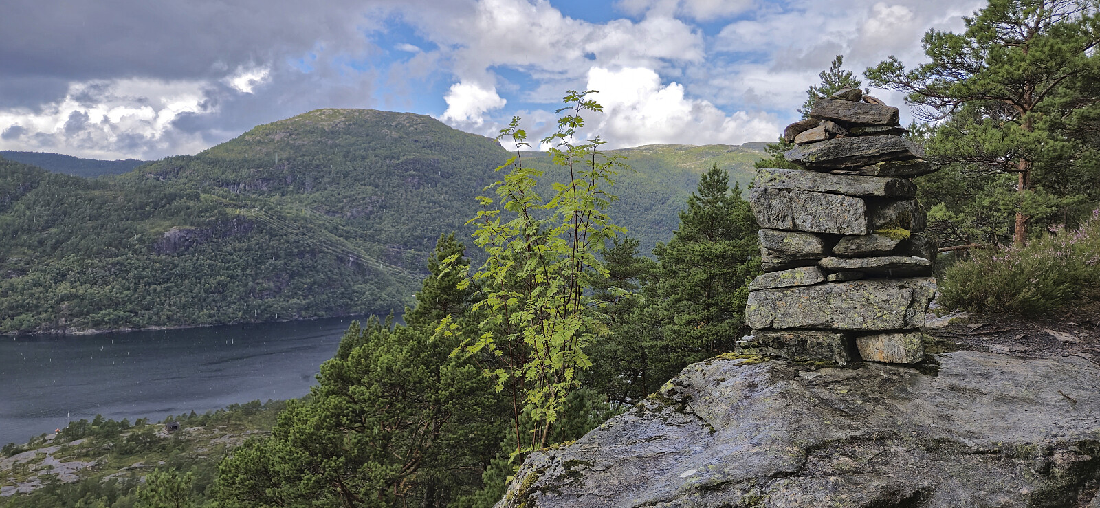
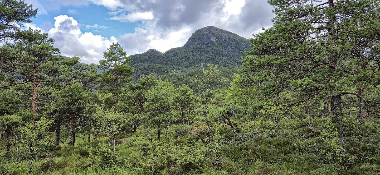
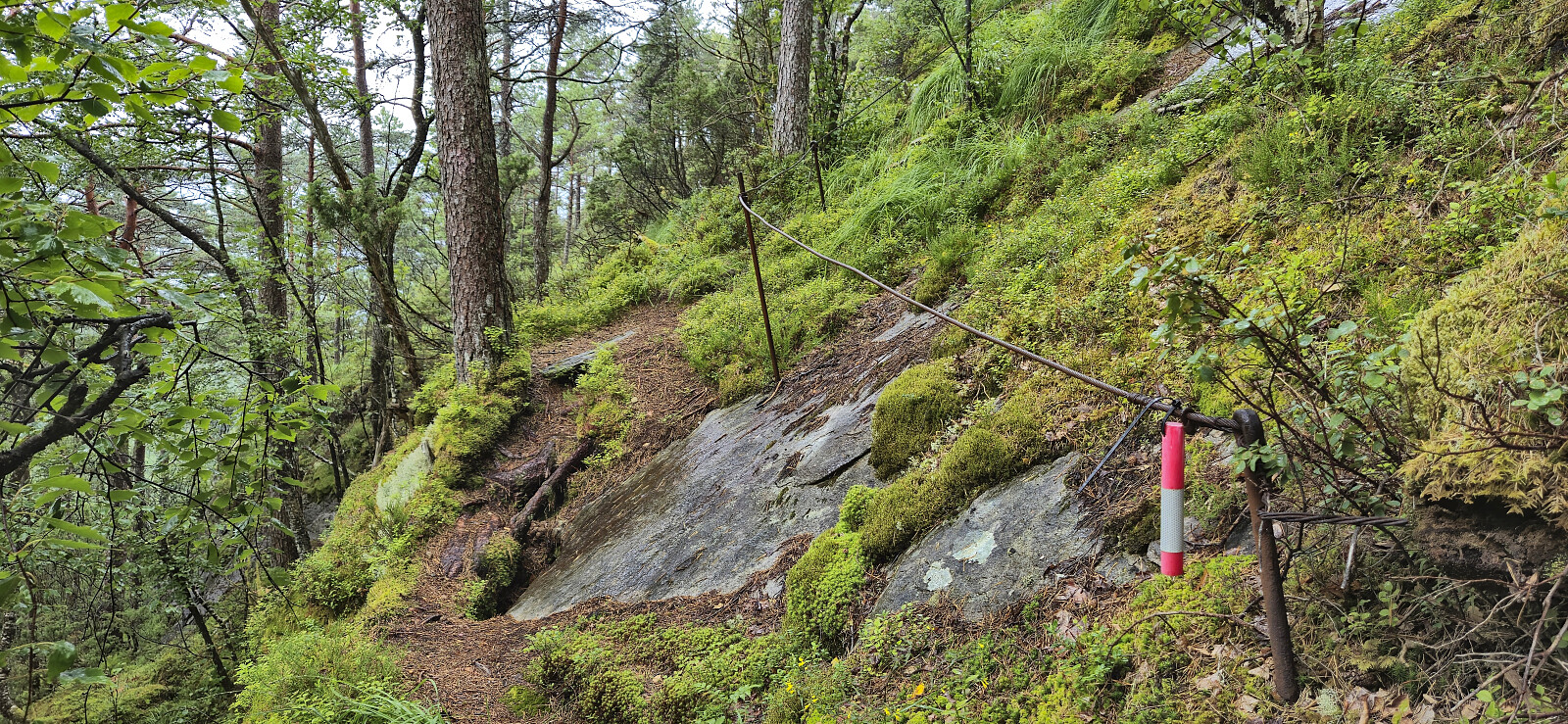
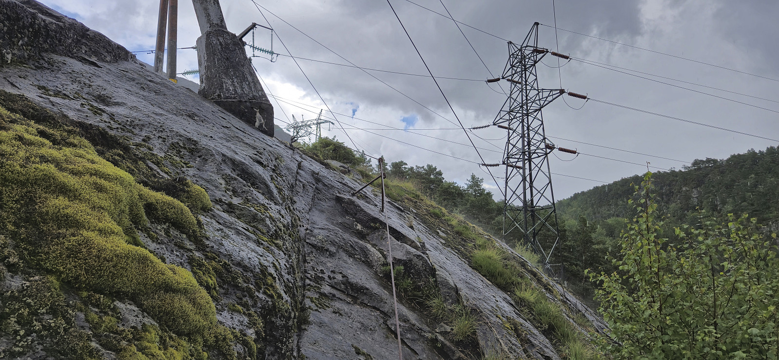
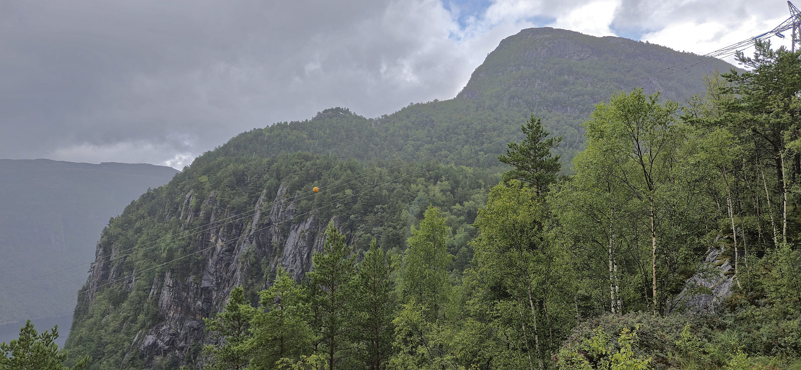
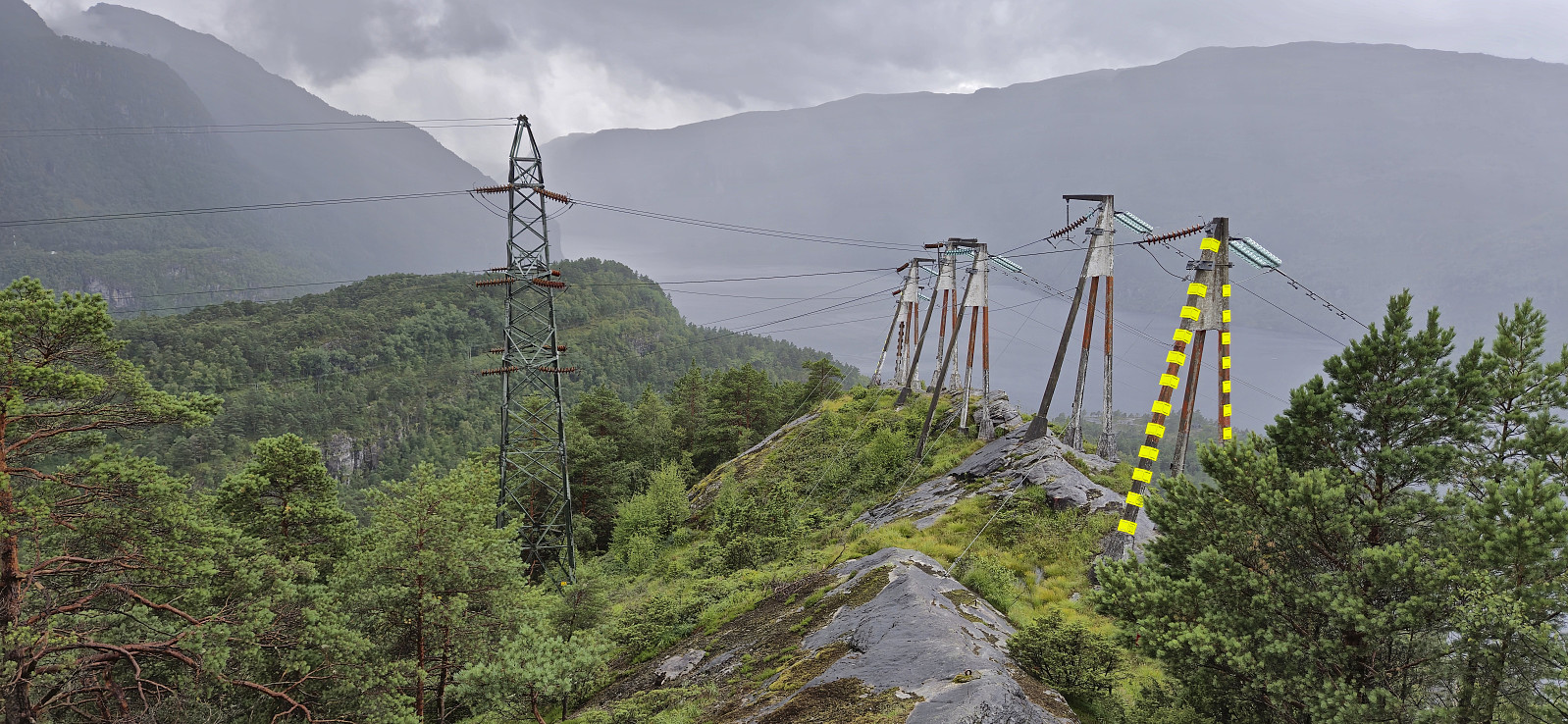
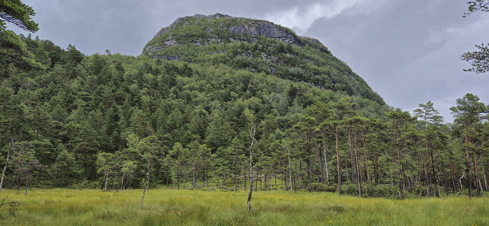
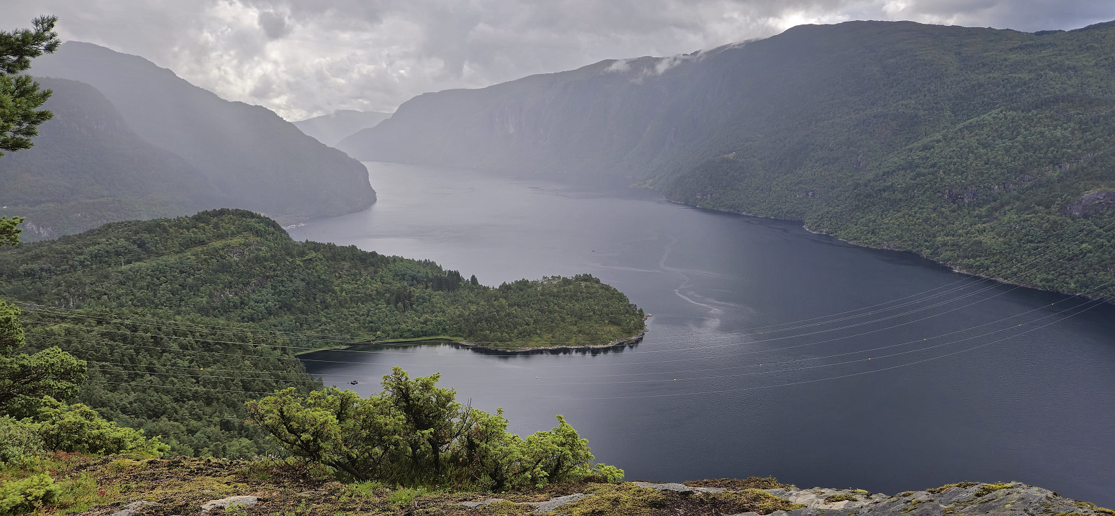
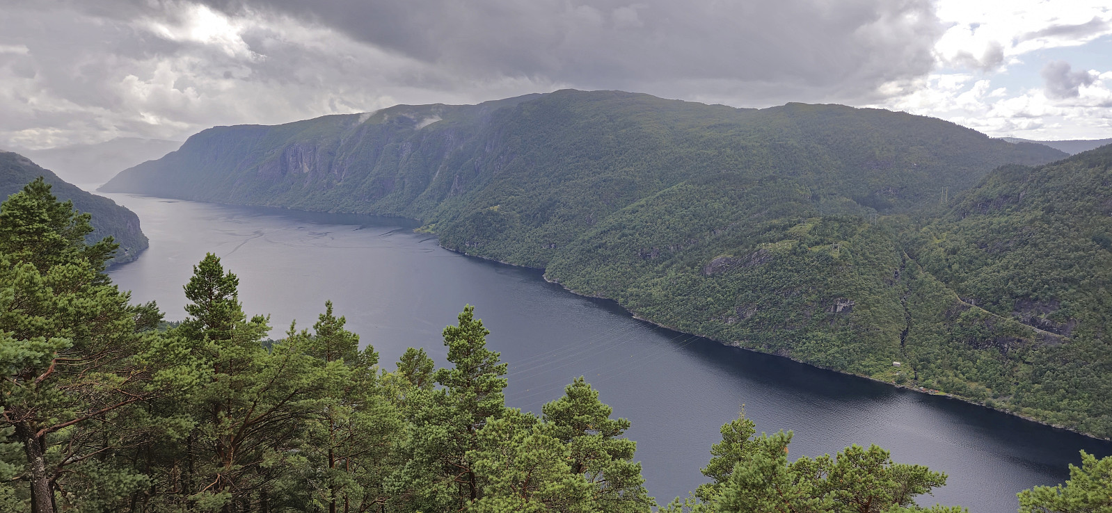
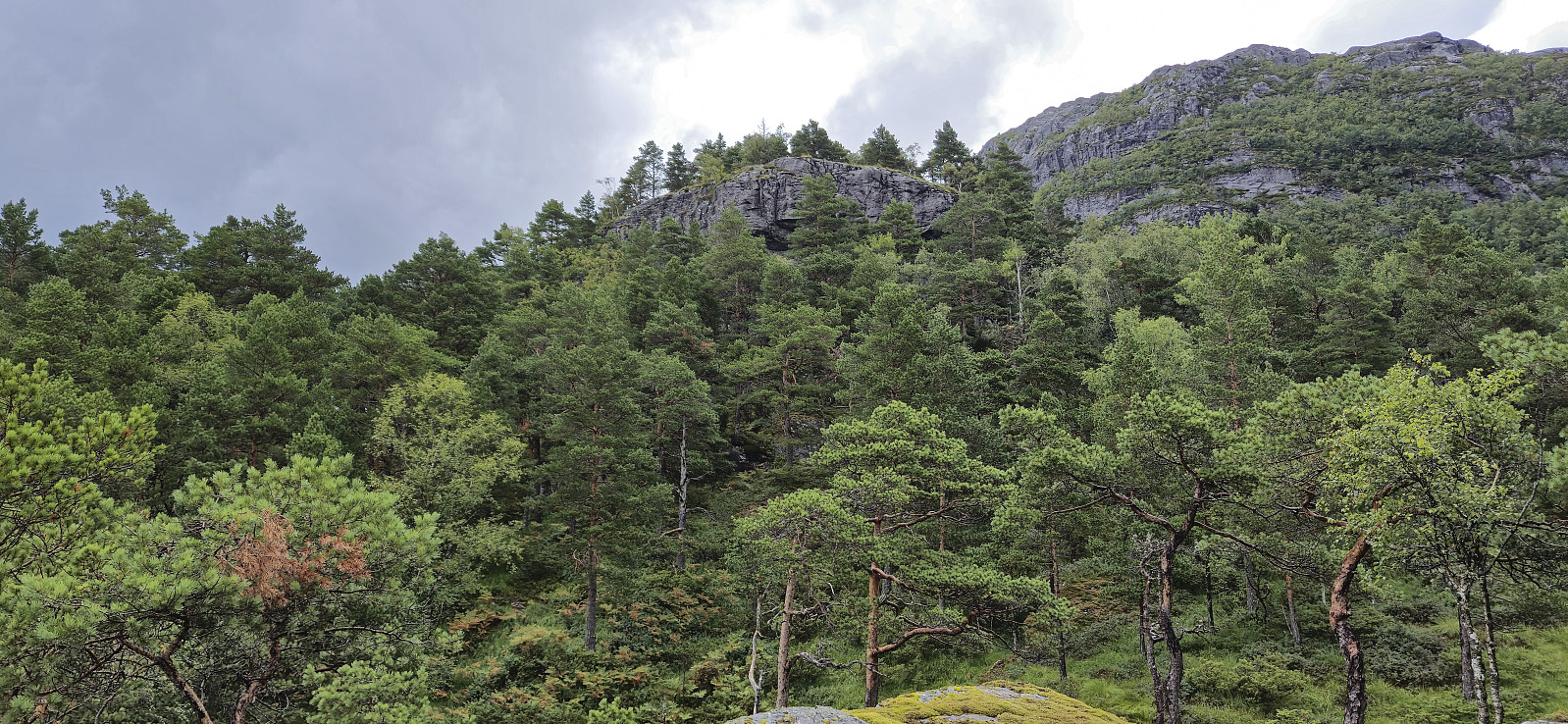
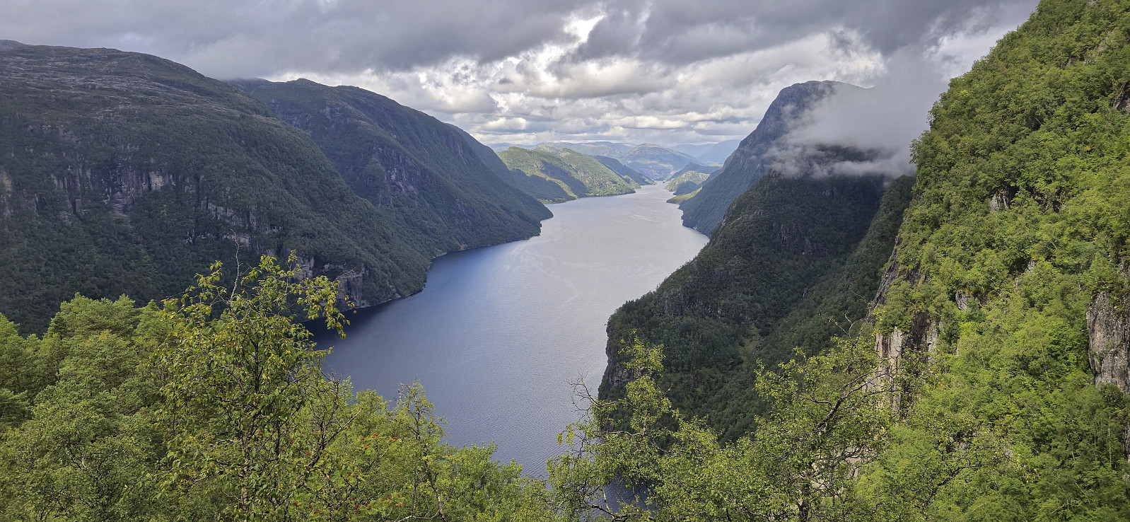
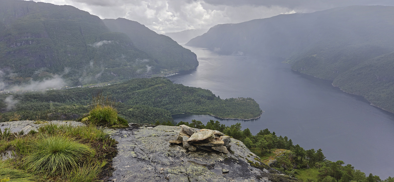
I started along the same trail as for my previous hike in the area, but quickly deviated and instead followed the marked trail to Varden på Åsen for some nice views. After turning back I followed the marked trail to Berget and Smørstakken. The trail was overall easy to follow but there was a short steep section along the ridge with overhanging powerlines. There was a wire to hold on to though. Both Berget and Smørstakken provided excellent views, especially north along Veafjorden from Smørstakken.
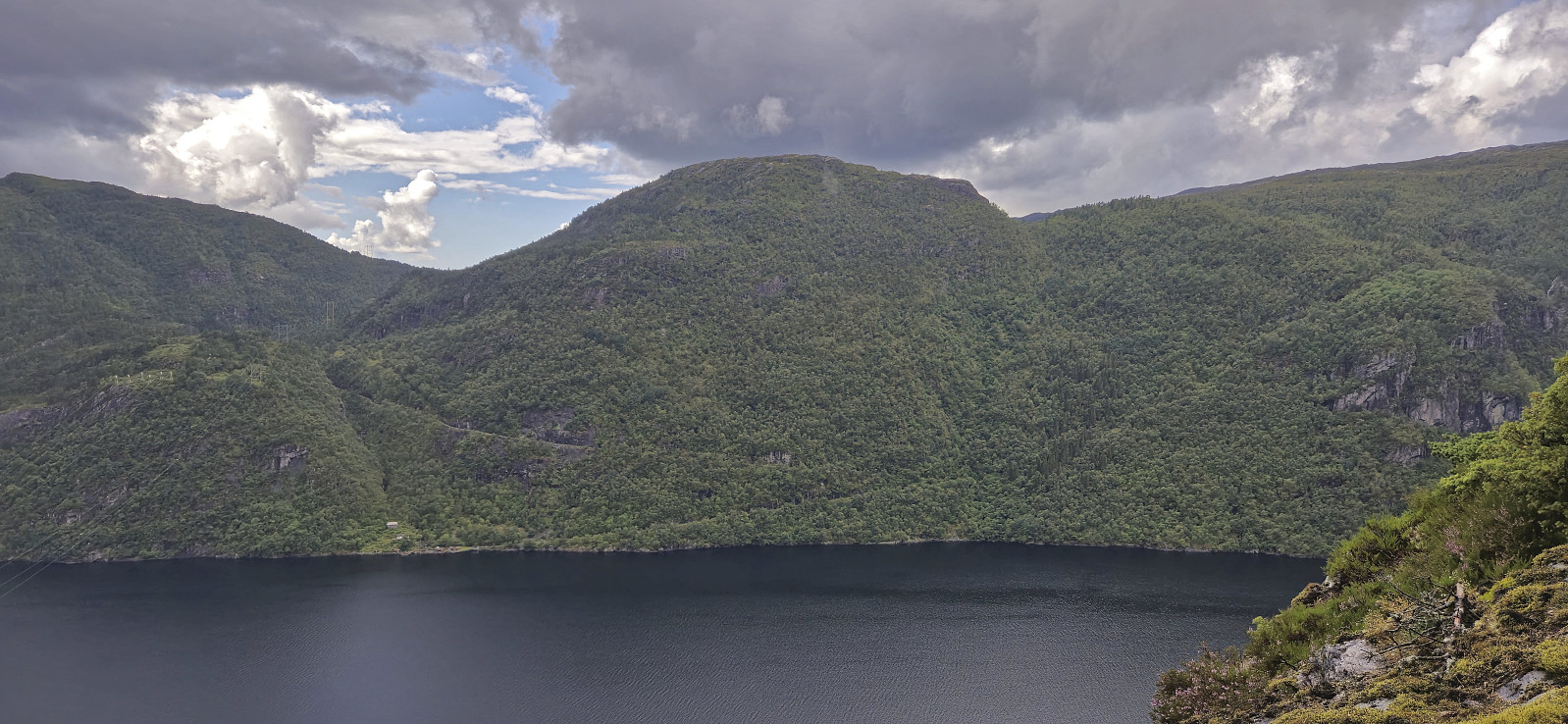
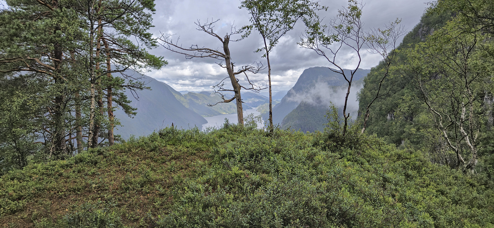
From Smørstakken I returned to Berget before heading east/northeast via the marked trail to Helle. Also here the trail was, with a couple of exceptions, easy to follow, although very wet. When later turning south to Helle, the trail quality improved but I still had to take it relatively slow due to the slippery conditions.
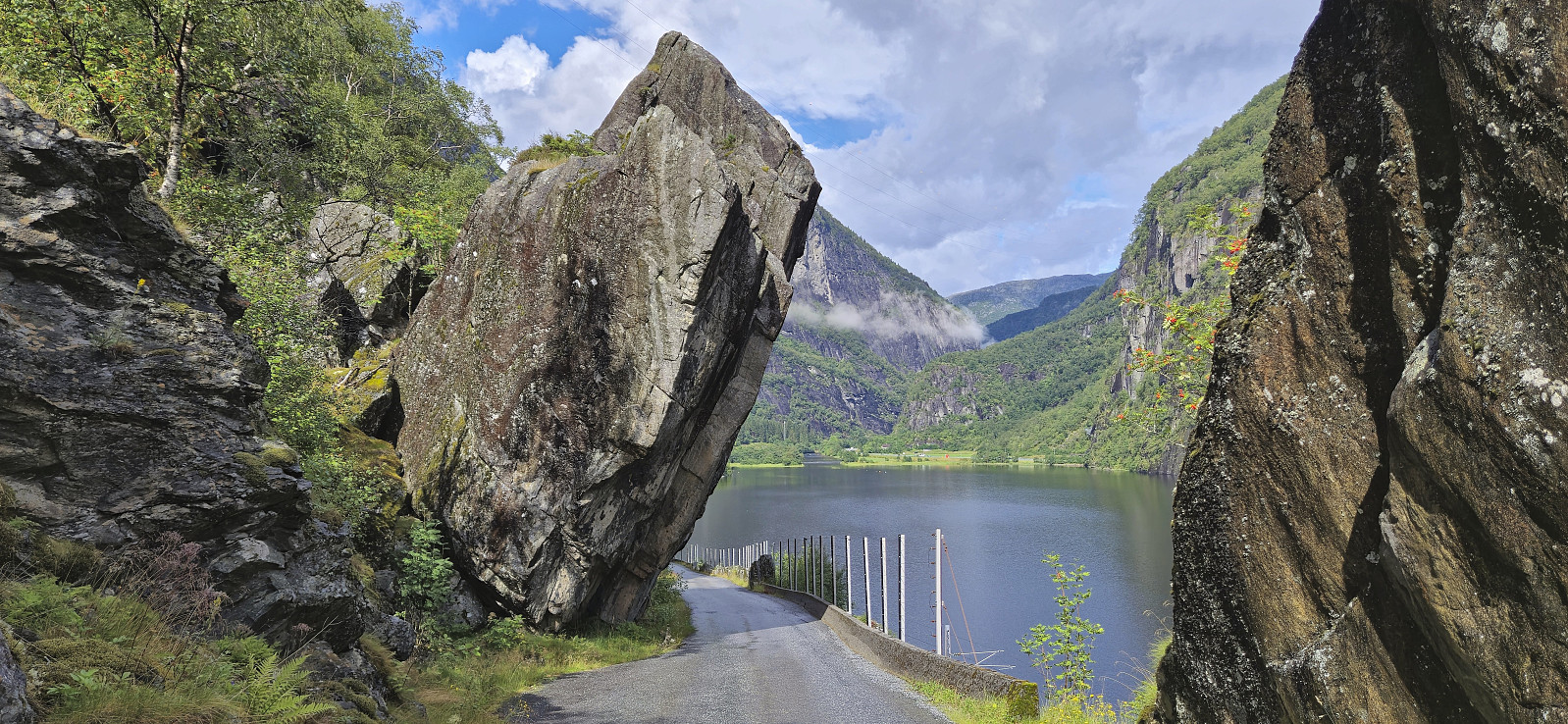
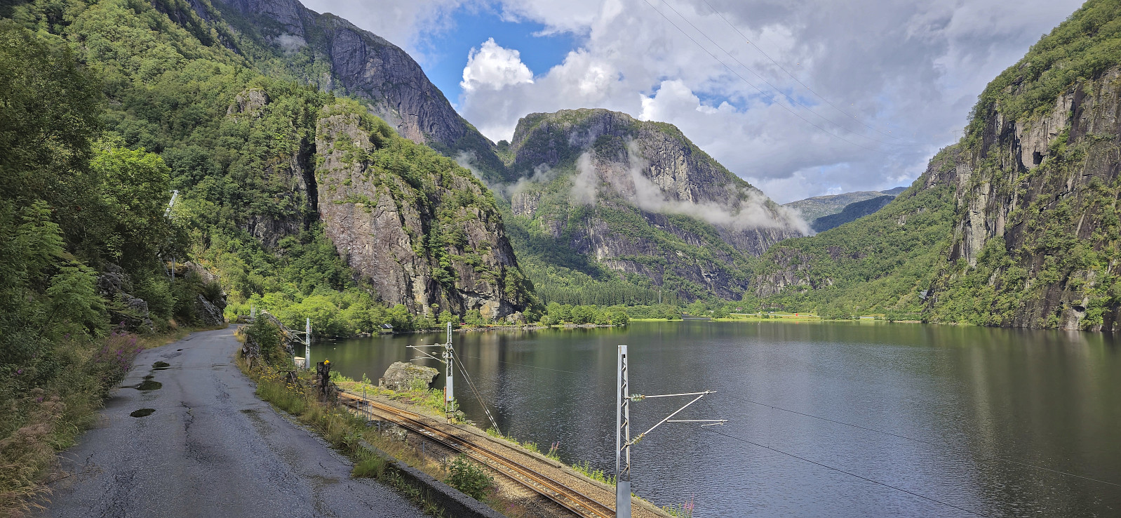
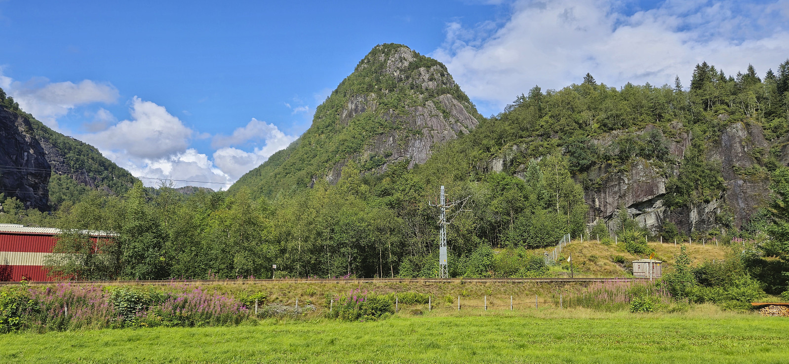
When arriving at Hellestræet I had plenty of time for the next train and therefore continued northeast via the old road to Dale. With the sun making a rare appearance this part was quite enjoyable and I made to the station at Dale with 10 minutes to spare. Despite the wet conditions, this was a great hike with several excellent vantage points along the way.
| Startzeitpunkt | 27.07.2024 13:29 (UTC+01:00 SZ) |
| Endzeitpunkt | 27.07.2024 17:23 (UTC+01:00 SZ) |
| Gesamtzeit | 3h 53min |
| Zeit in Bewegung | 3h 40min |
| Pausenzeit | 0h 13min |
| Gesamtschnitt | 3,1km/h |
| Bewegungsschnitt | 3,3km/h |
| Entfernung | 12,0km |
| Höhenmeter | 697m |

Benutzerkommentare