Joskarfjellet and Høgafjellet (18.07.2024)

| Startpunkt | Modalstunnelen sør (158m) |
|---|---|
| Endpunkt | Eikemo øst (94m) |
| Tourcharakter | Bergtour |
| Tourlänge | 9h 30min |
| Entfernung | 30,0km |
| Höhenmeter | 1.383m |
| GPS |
|
| Besteigungen | Joskarfjellet (889m) | 18.07.2024 11:41 |
|---|---|---|
| Høgafjellet (1.020m) | 18.07.2024 14:07 | |
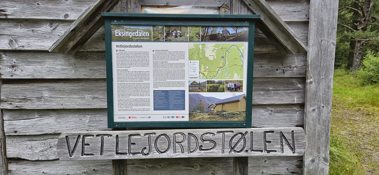
| Besuche anderer PBE | Vetlejordsstølen (395m) | 18.07.2024 10:12 |
Joskarfjellet and Høgafjellet
Warning: This hike contains a steep off-trail descent. Please read the report carefully to see if this is something you are comfortable with.
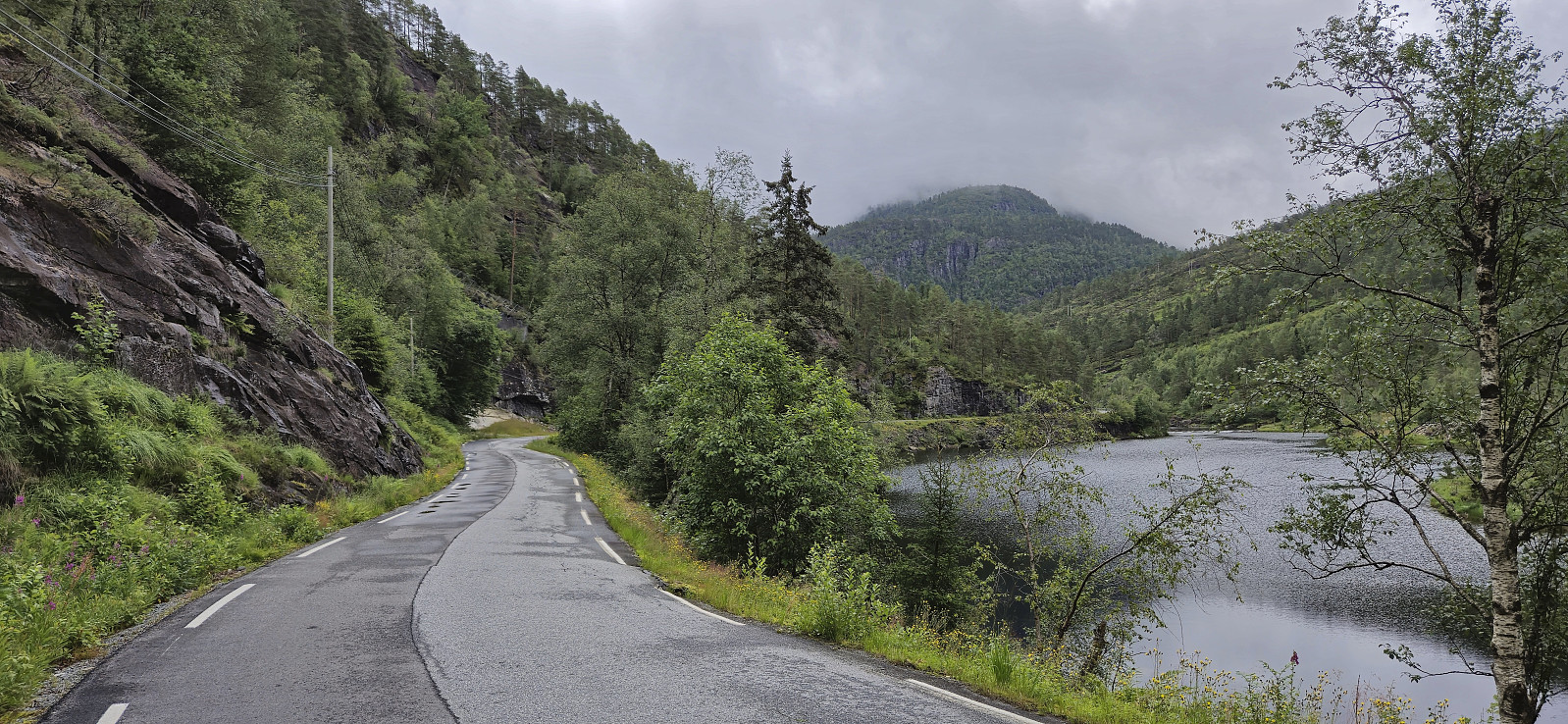
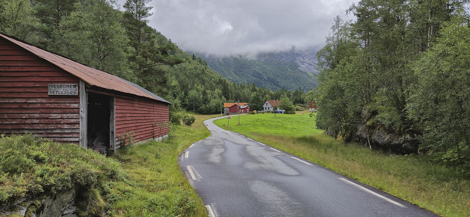
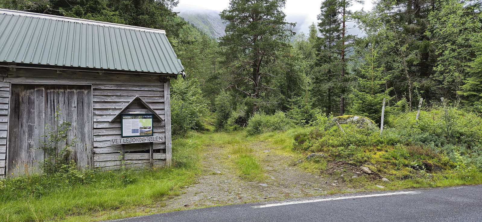
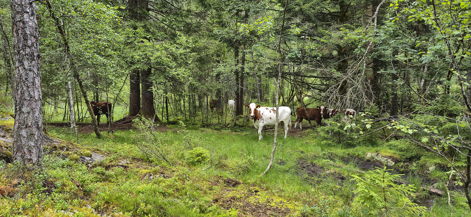
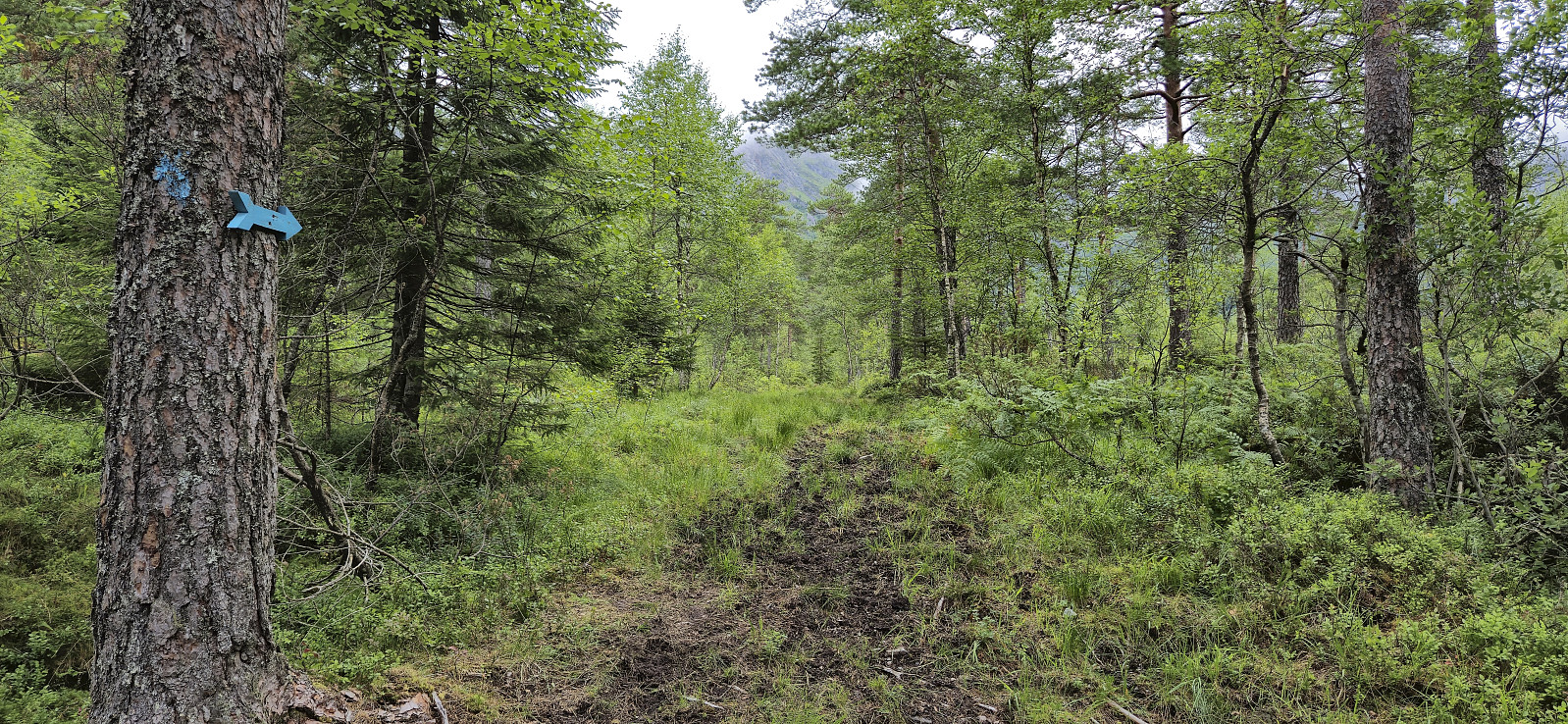
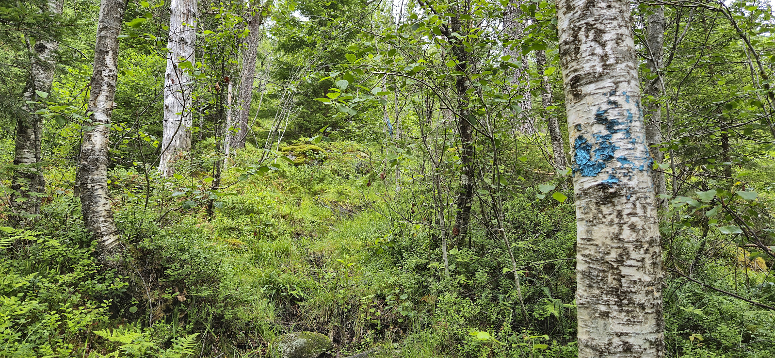
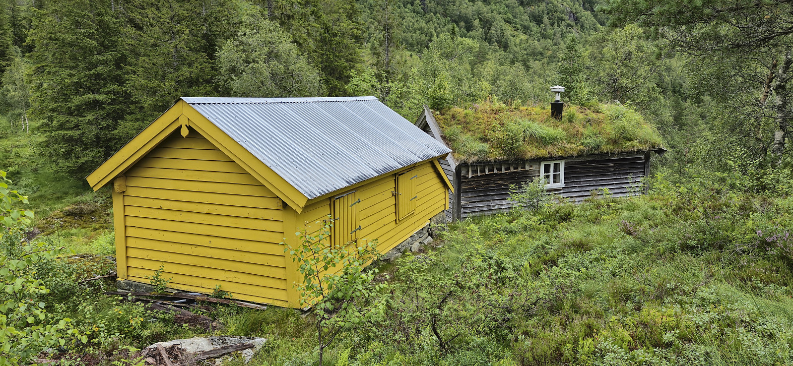
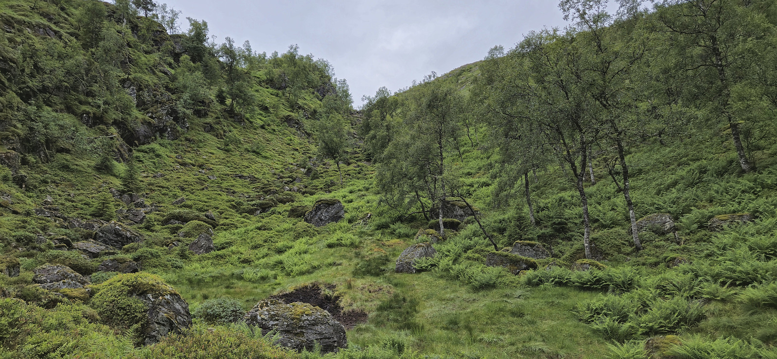
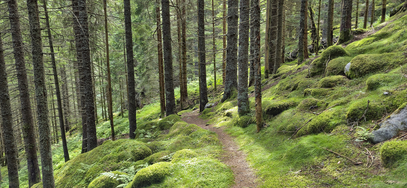
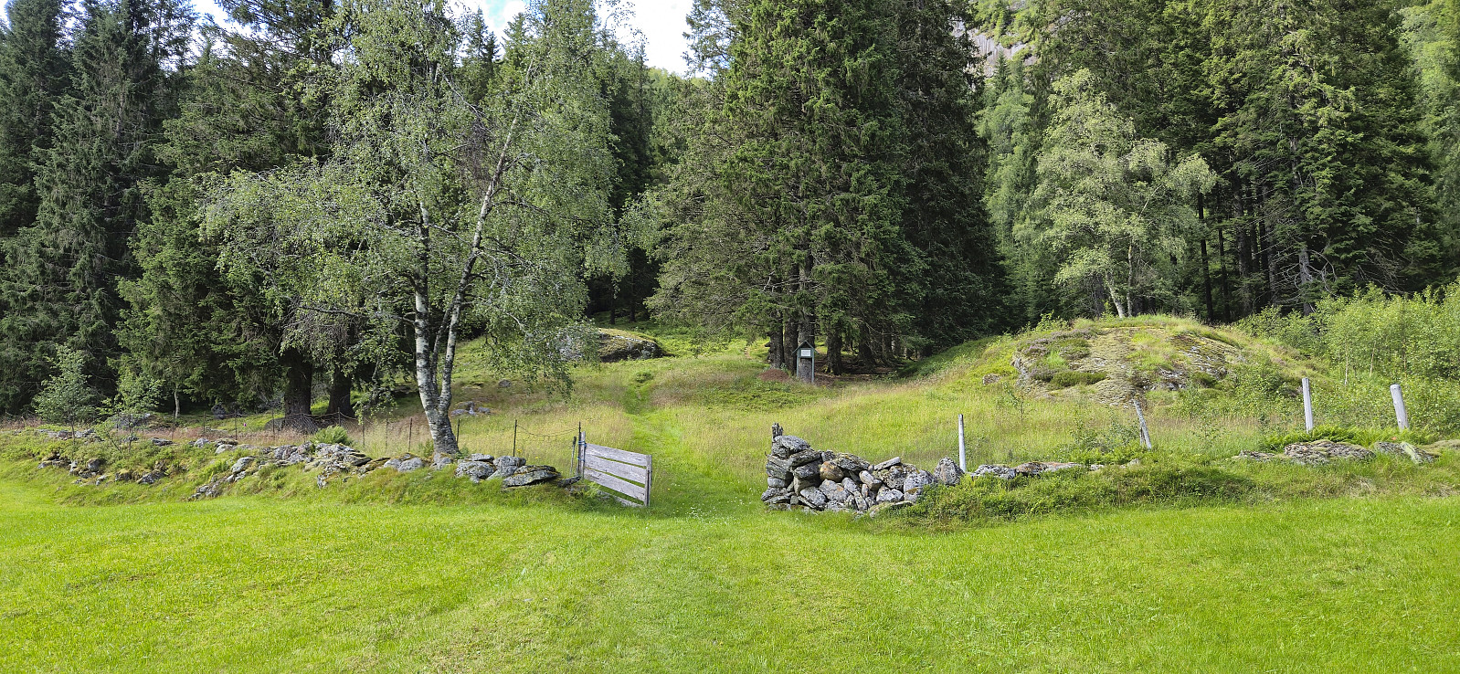
I started by taking the train to Dale and the bus to Eksingedalen where I got off at "Modalstunnelen sør" (the bus continued through the tunnel). The first part of the hike therefore consisted of walking east along the road to Vetlejord. Here I easily located the marked trailhead for Vetlejordsstølen and proceeded to follow the marked trail until it ended at two cabins. The trail was overall rather wet and muddy but except for a small herd of cattle that had to be avoided early on, it could be followed without any issues.
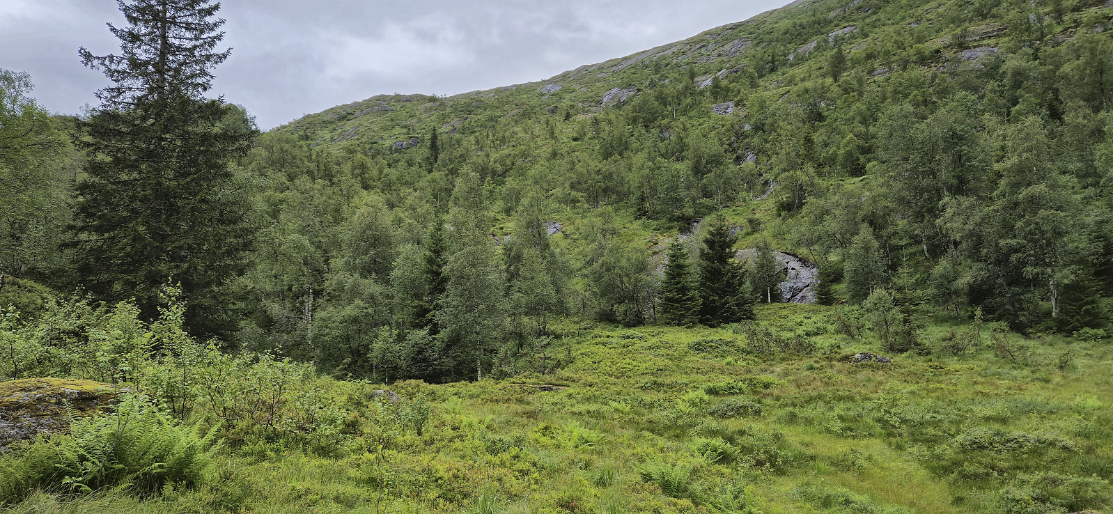
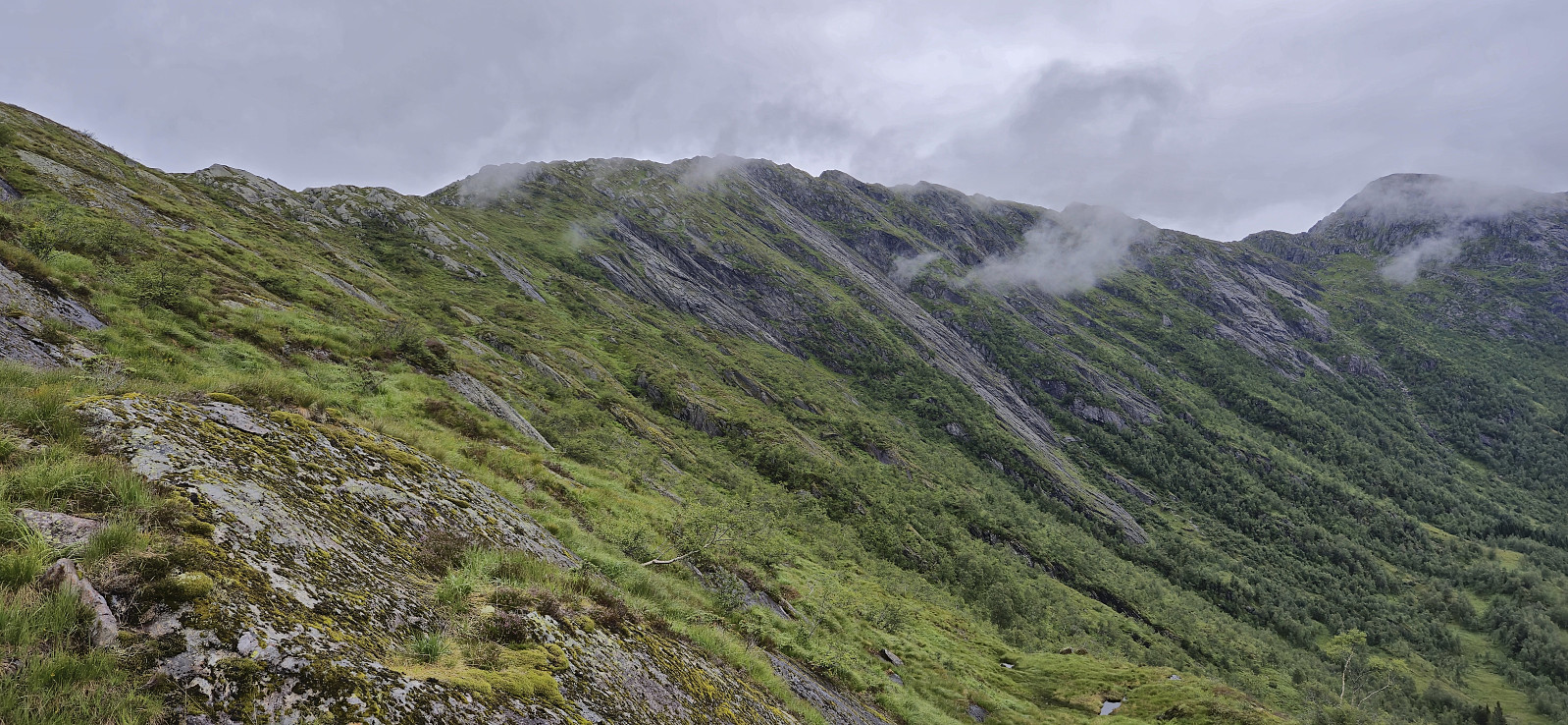
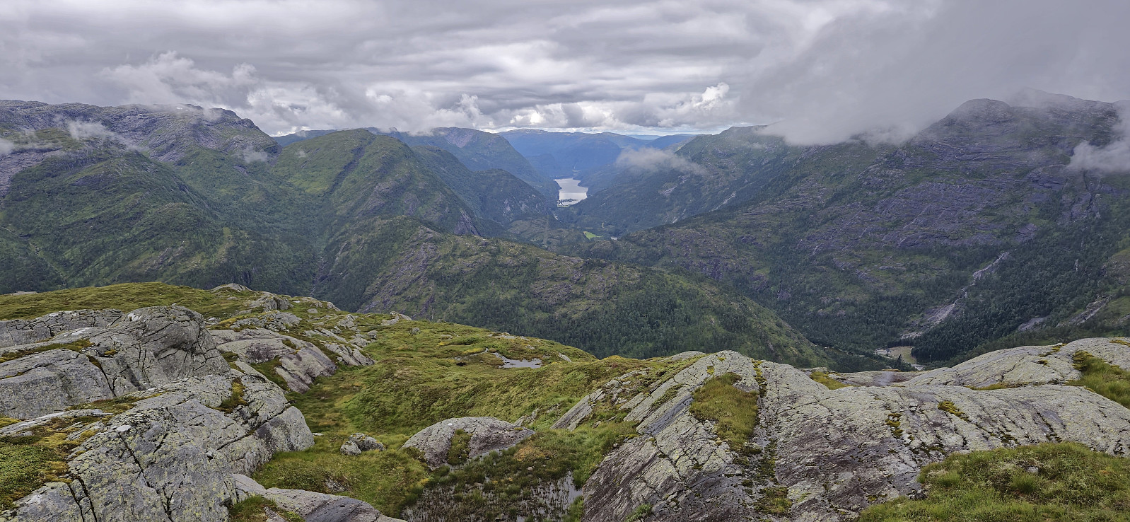
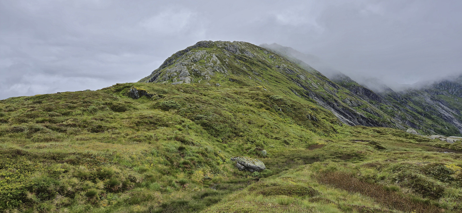
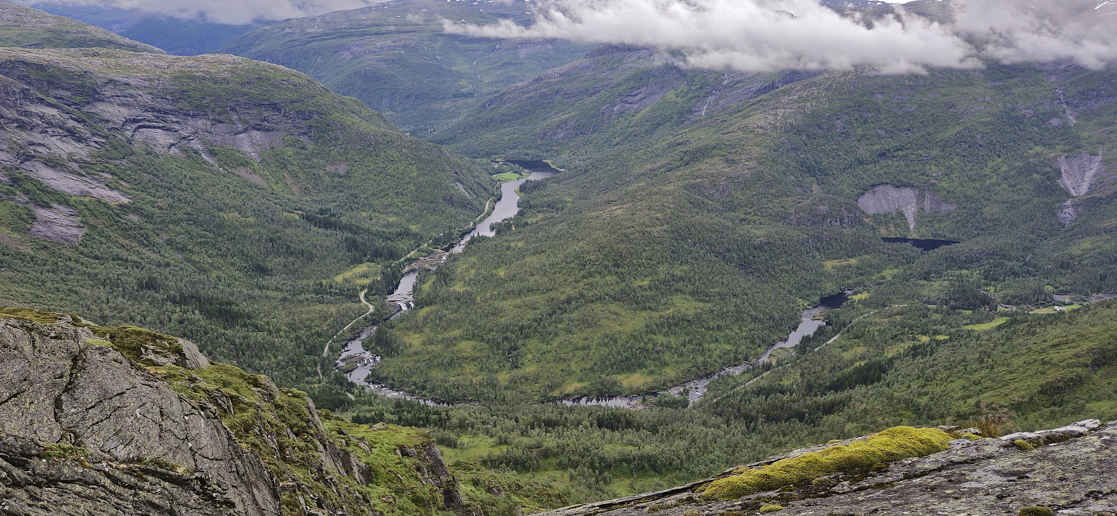
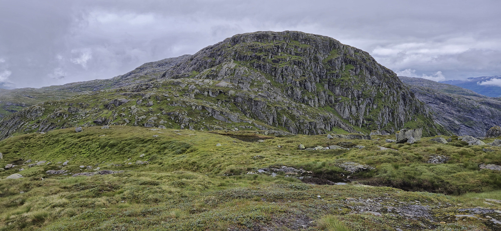
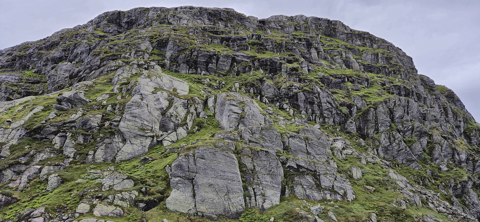
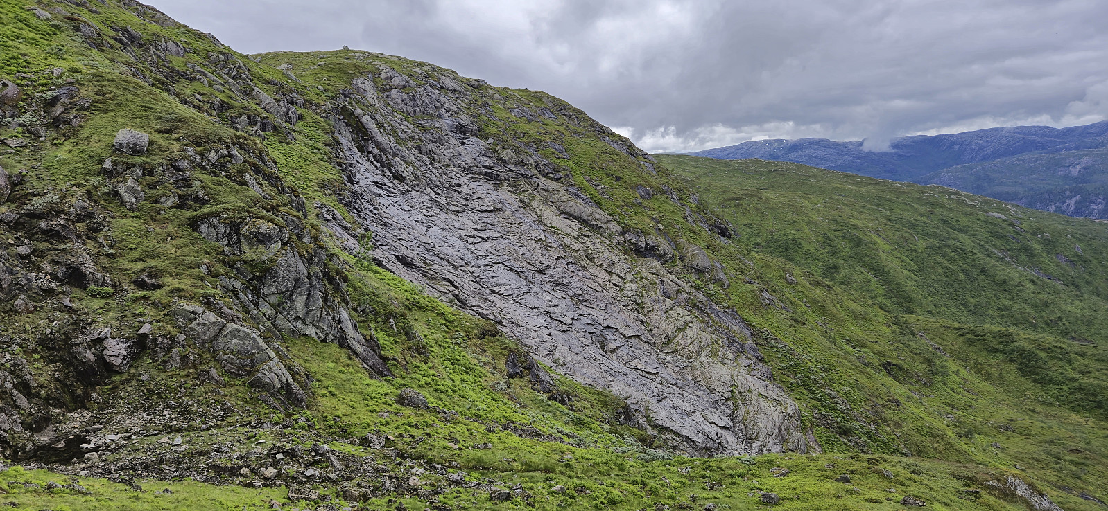
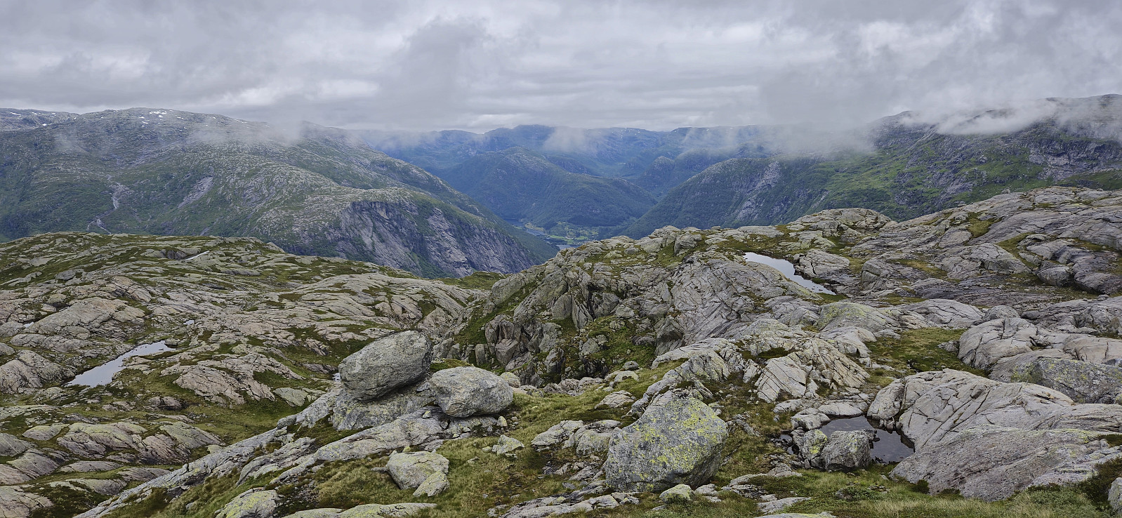
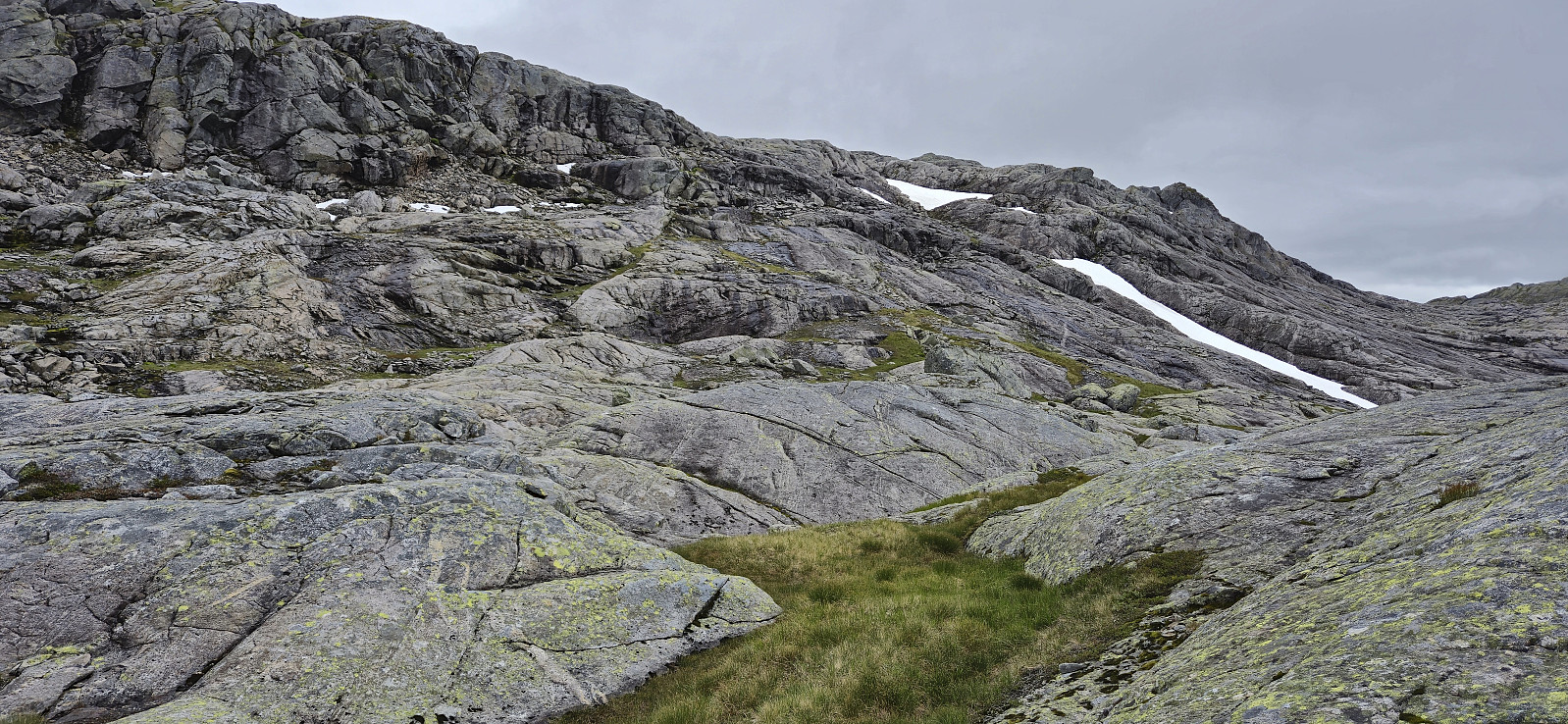
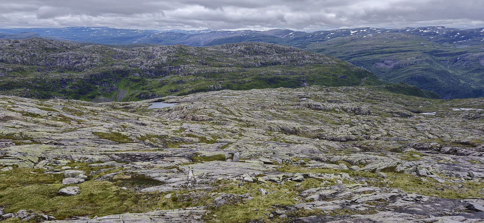
From Vetlejordsstølen I headed off-trail to the start of the ridge of Joskarfjellet (or Joskardfjellet as it is named on PB). This was overall straightforward and I could soon turn north/northeast to complete the final ascent along the ridge to the summit. Excellent views from the summit, although the fog did its best to hide most of it. I did not stay long before continuing east to Joskaret.
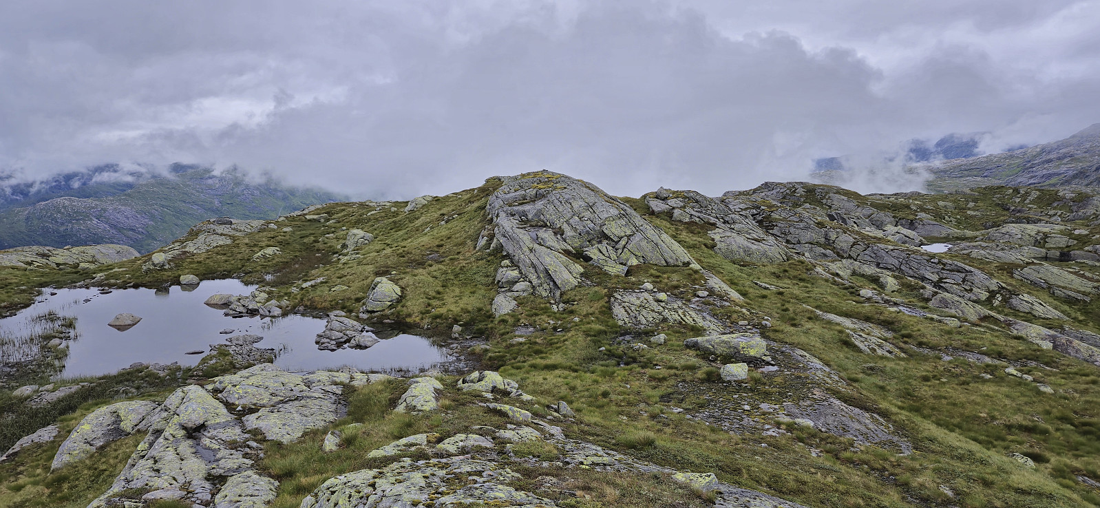
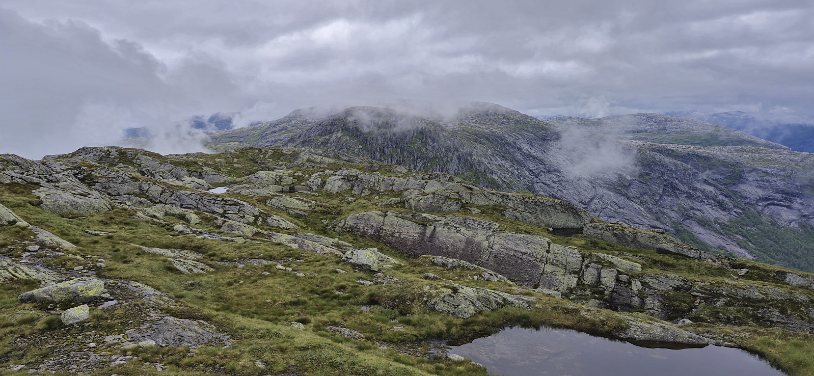
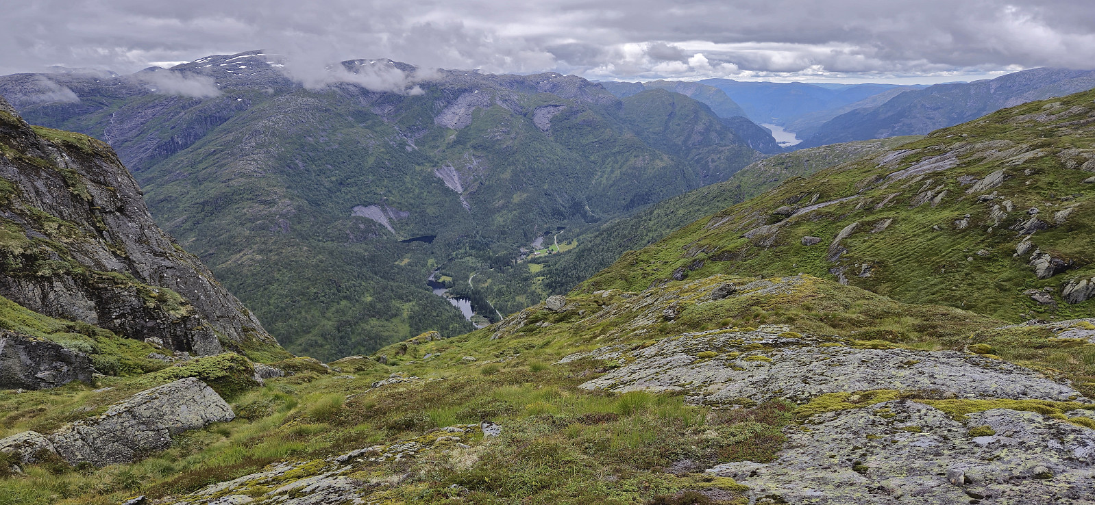
The only previous report that contained any details on how to get from Joskarfjellet to Høgafjellet was a 2015 report from Rune Blomberg. He described a steep ascent via Joskarnovi, but upon closer inspection I did not find this very tempting, especially in the wet and slippery conditions. I had therefore planned an alternative route: descend northeast towards Jobotnen, turn east and ascend to Almelibotnen, complete the final ascent to the summit.
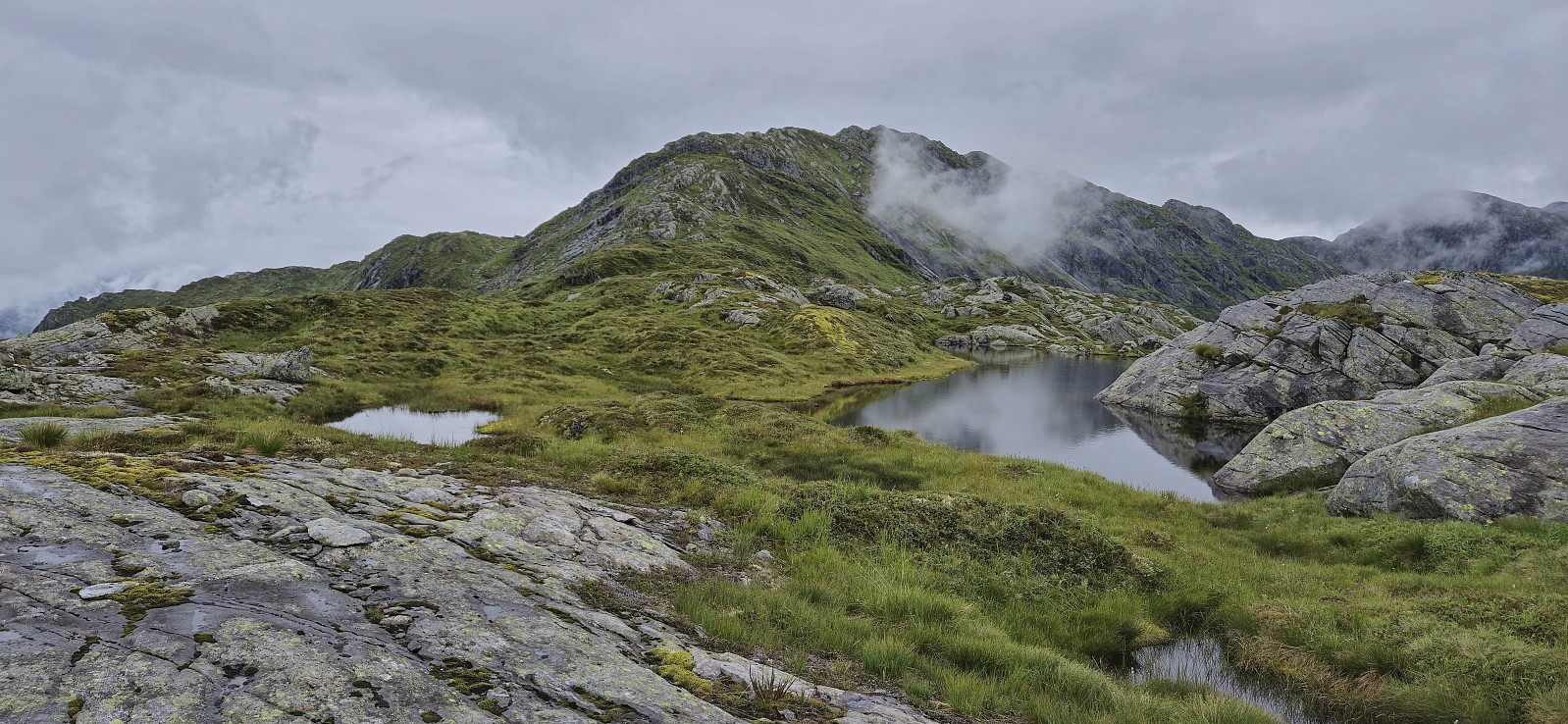
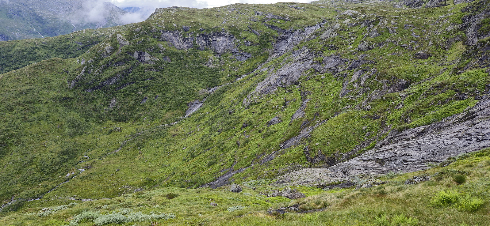
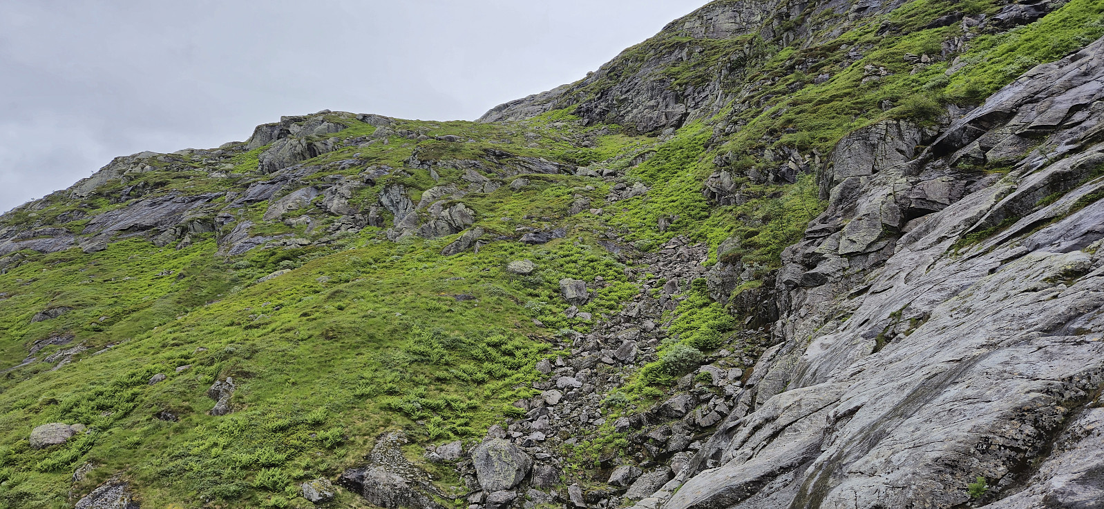
Descending towards Jobotnen started out fine but turned gradually steeper. Careful navigation to avoid slippery and potentially dangerous areas was therefore required. By taking it slow and planning every move I found a route that was safe and relatively easy. I tried to turn east too early though and was quickly punished with having to retrace my steps and find a different and less slippery route. As soon as the descent was completed the following ascent via Almelibotnen was however straightforward and did not present any further challenges.
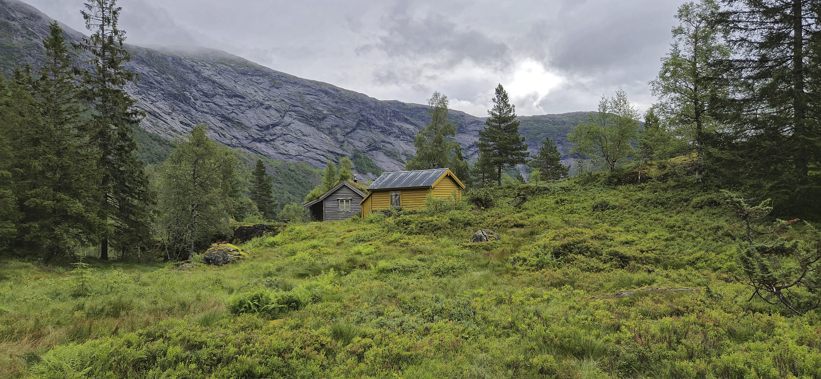
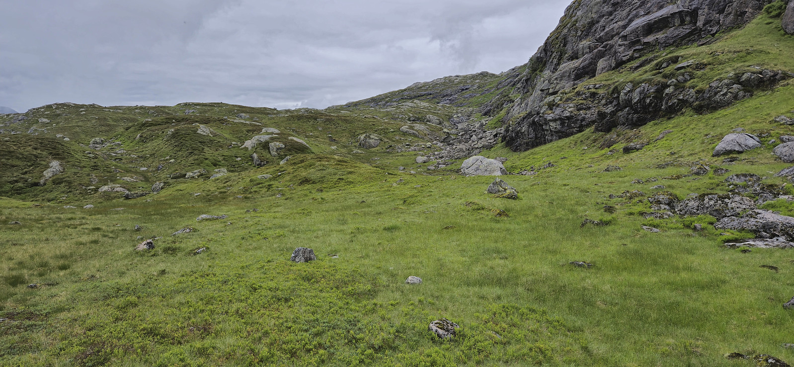
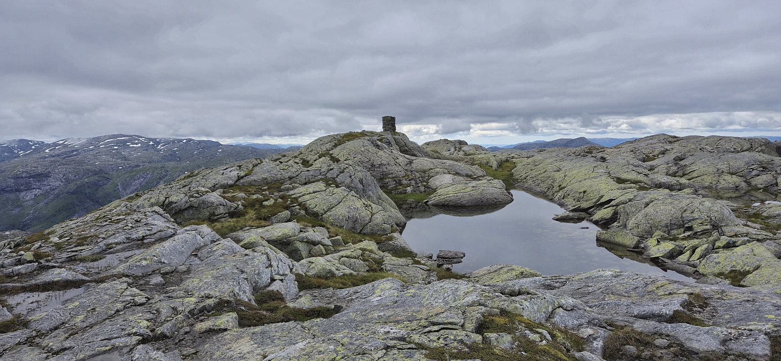
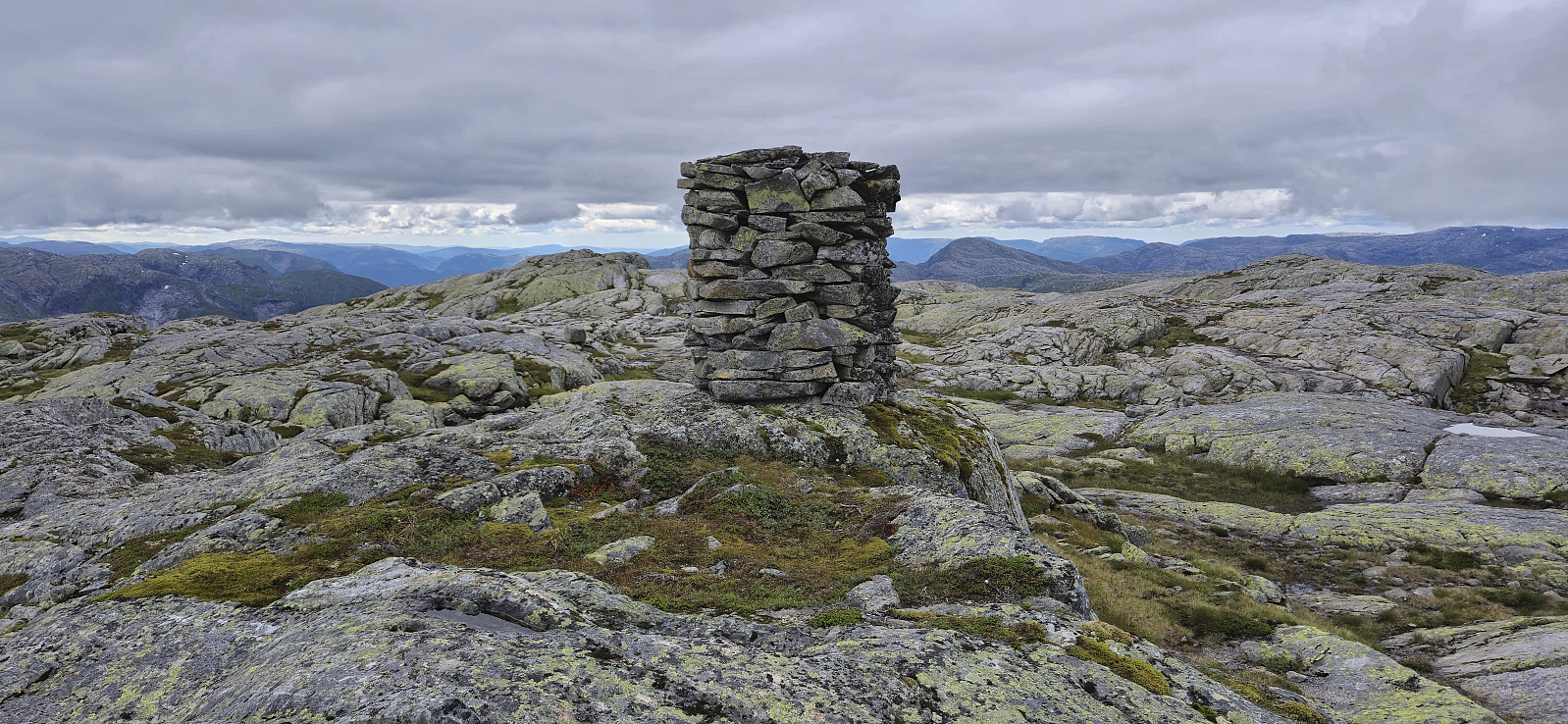
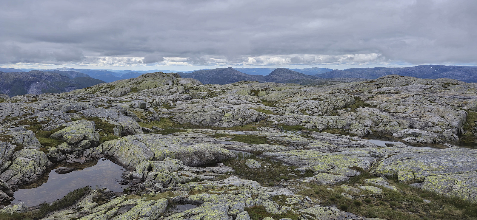
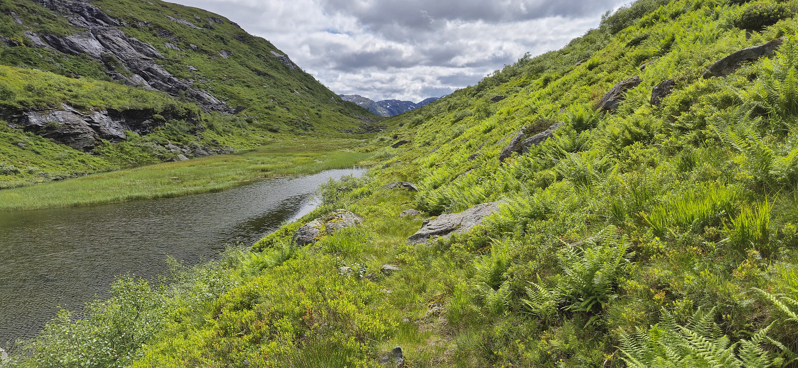
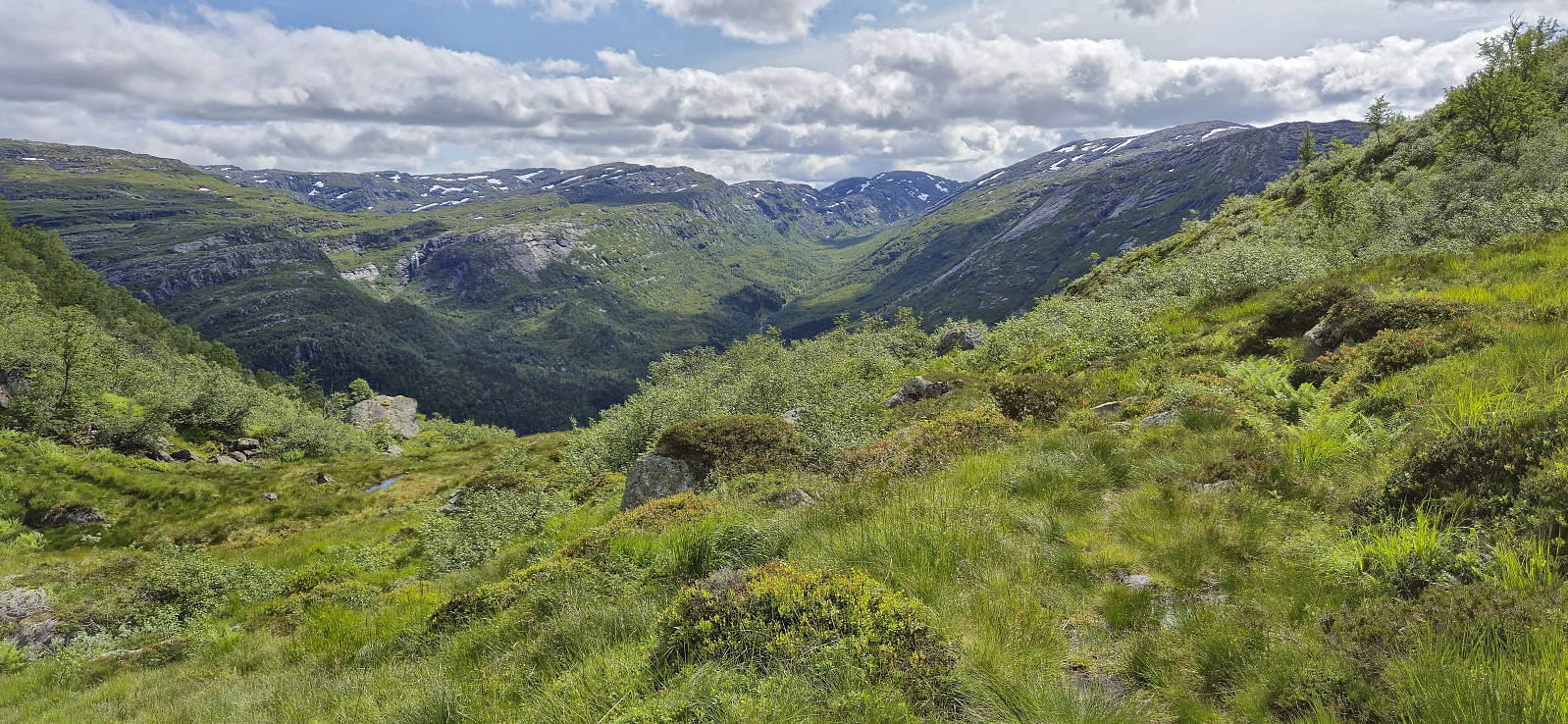
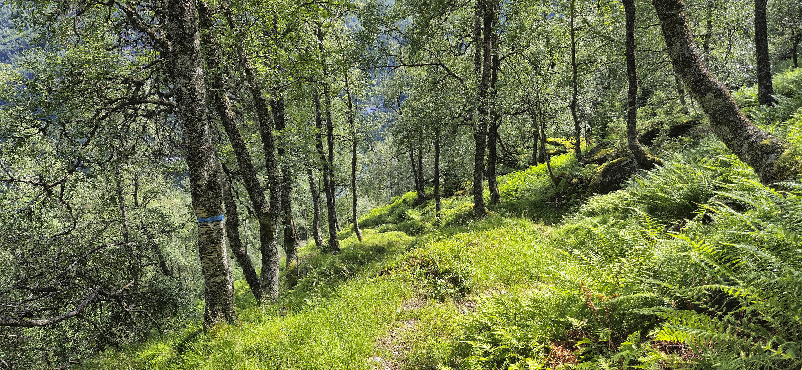
After signing the visitor register hidden in the large summit cairn at Høgafjellet, I descended south/southeast to Flatkvål. At first, this required more careful navigation in slippery terrain, but overall the steeper areas could be easily avoided. Note that I did come across a couple of cairns, hence there may be a marked route that ought to be followed instead. I later connected with the marked trail just south of Storavatnet and from there on the progress was much improved. The trail had its wet and muddy sections but the final section down to Flatkvål was very nice.
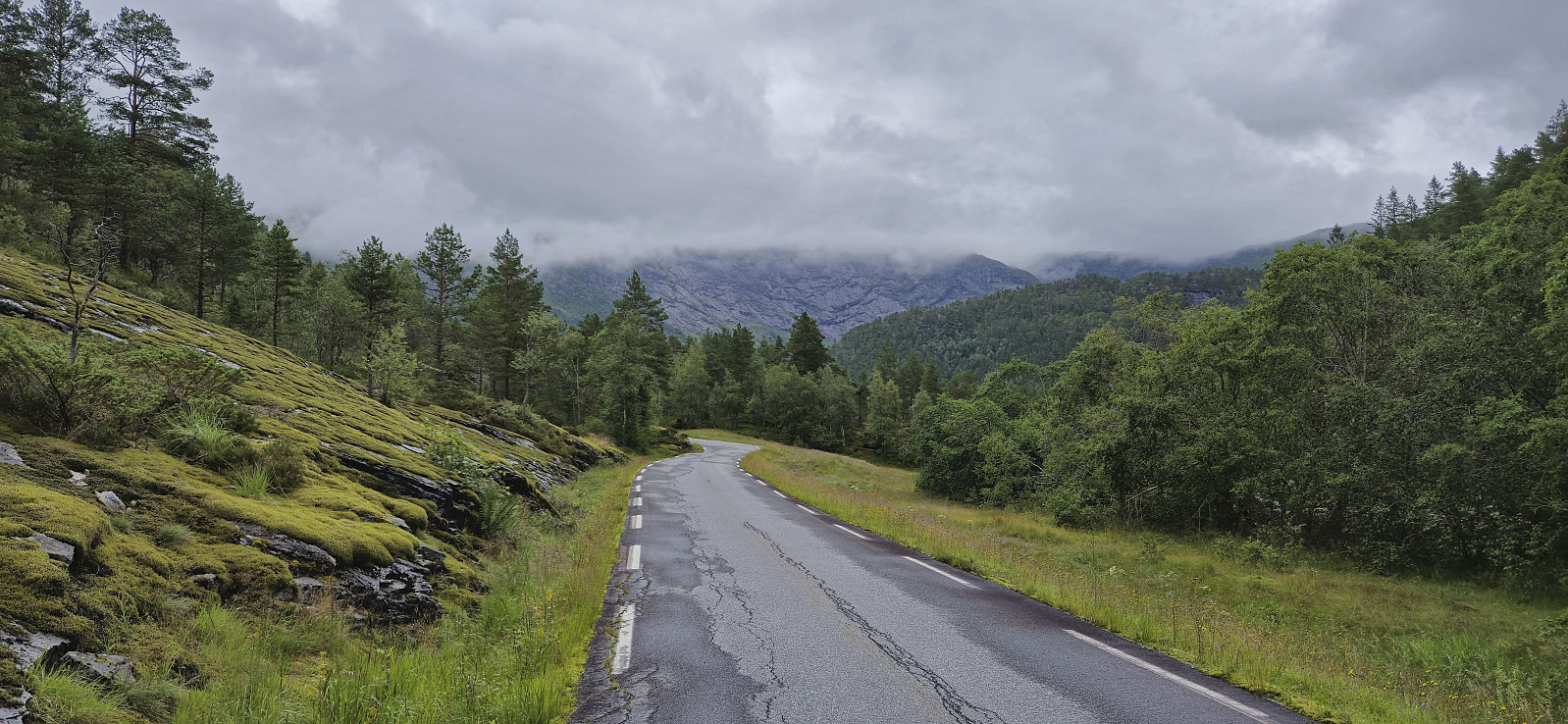
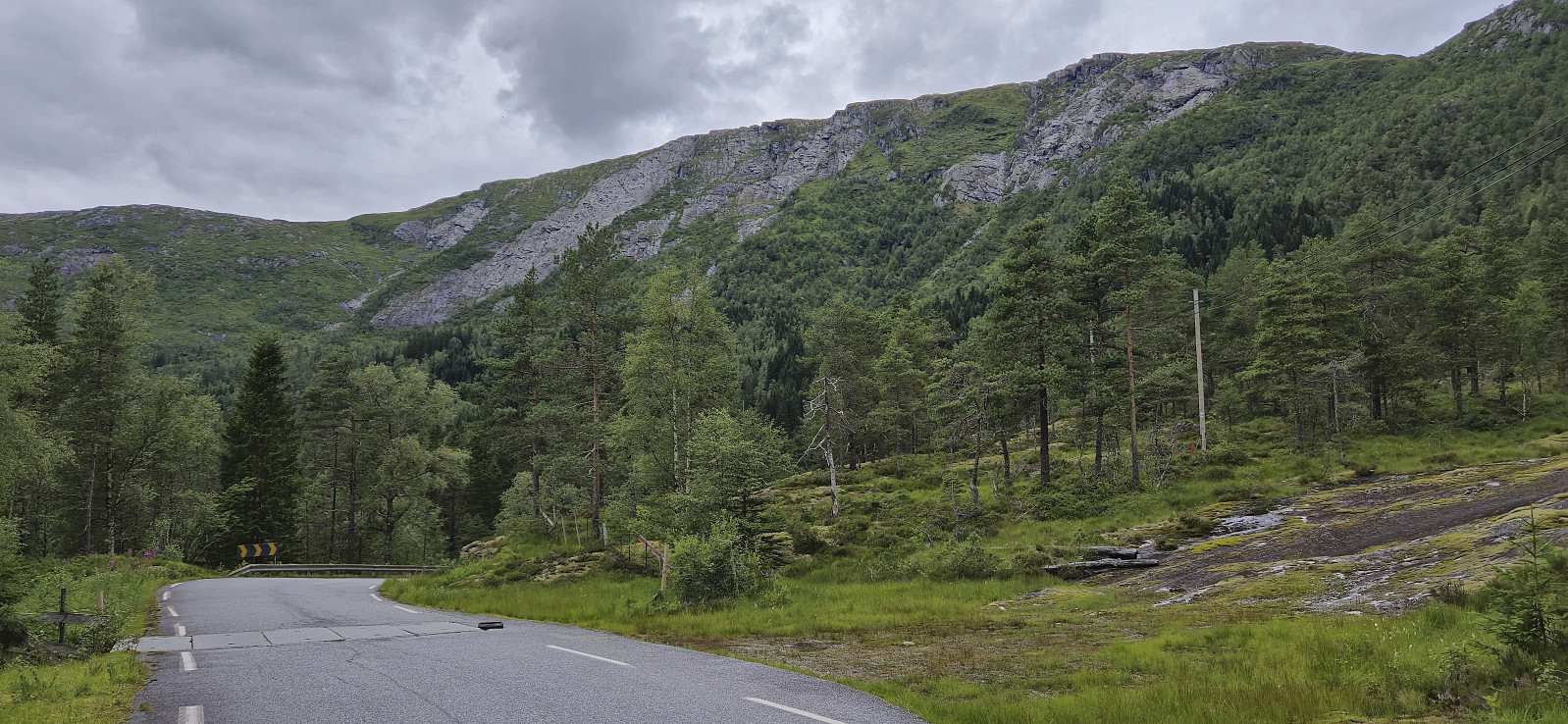
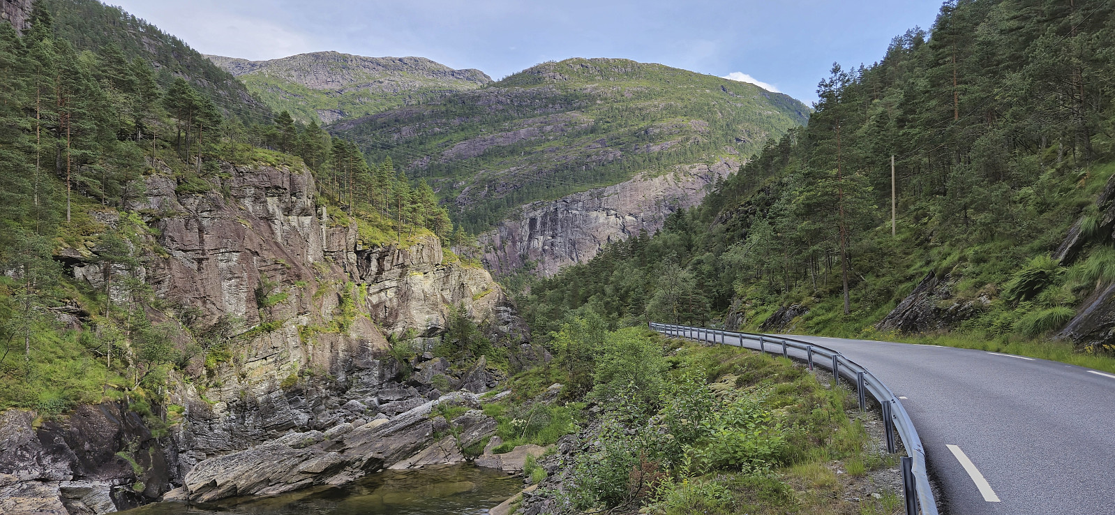
All that remained was then the long walk via the paved road back to the starting point of the hike. Or rather, onwards to "Eikemo aust" as I was not 100% sure where the bus stopped outside Modalstunnelen when going south to Dale and did not want to risk not being picked up. I had saved up extra time for this purpose tough and made to the planned bus stop with around 15 minutes to spare.
To conclude, given the large off-trail component and the steep descent towards Jobotnen, this is probably not a hike for beginners. The steep descent could perhaps be simplified by starting the descent directly from Joskaret, and not after first ascending to the small hill west of Joskarnovi like I did, but this remains to be tested. Also, if you arrive by car, a smarter way of completing this roundtrip would be to drop off a bicycle at Flatkvål, as this would greatly speed up the return trip to Vetlejord.
| Startzeitpunkt | 18.07.2024 08:59 (UTC+01:00 SZ) |
| Endzeitpunkt | 18.07.2024 18:29 (UTC+01:00 SZ) |
| Gesamtzeit | 9h 30min |
| Zeit in Bewegung | 8h 51min |
| Pausenzeit | 0h 38min |
| Gesamtschnitt | 3,2km/h |
| Bewegungsschnitt | 3,4km/h |
| Entfernung | 30,0km |
| Höhenmeter | 1.383m |

Benutzerkommentare