Sveningen from Øvredalen to Midsætret (26.06.2024)

| Startpunkt | Øvredalen parkering (39m) |
|---|---|
| Endpunkt | Midsætret p-plass (208m) |
| Tourcharakter | Bergtour |
| Tourlänge | 6h 43min |
| Entfernung | 15,8km |
| Höhenmeter | 1.178m |
| GPS |
|
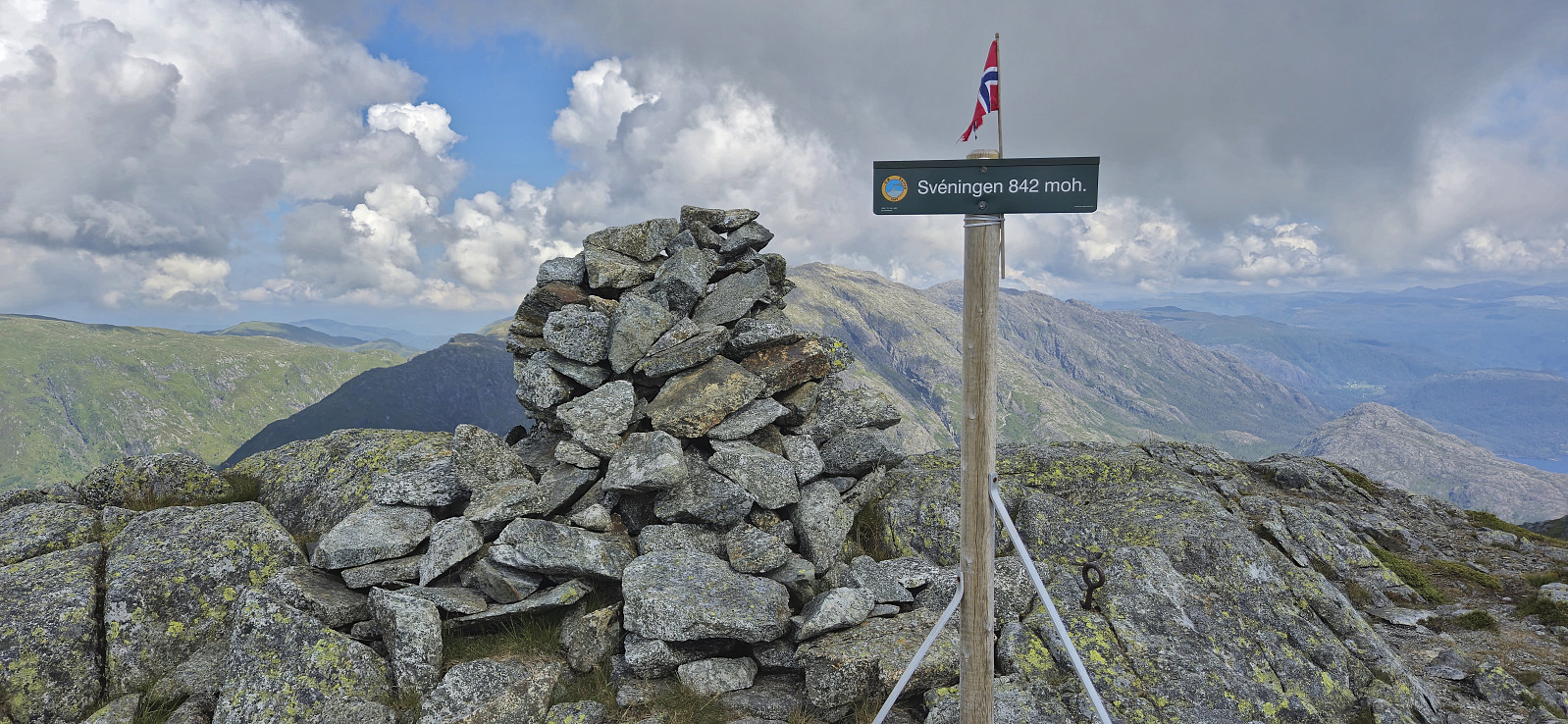
| Besteigungen | Sveningen (842m) | 26.06.2024 11:39 |
|---|---|---|
| Drogegjeltoppen (701m) | 26.06.2024 12:52 | |
| Søtefjellet NV (762m) | 26.06.2024 13:31 | |
| Søtefjellet (767m) | 26.06.2024 13:45 | |
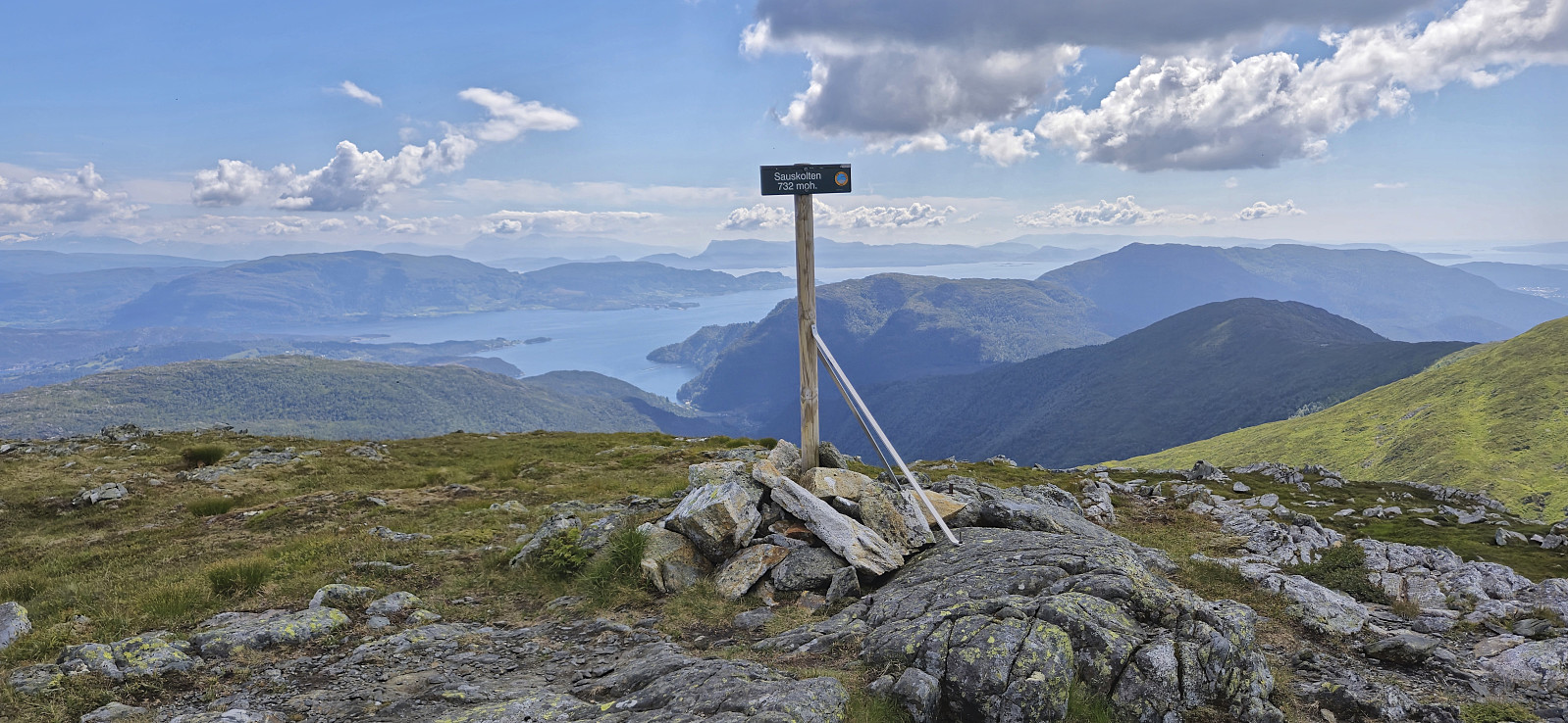
| Sauskolten (732m) | 26.06.2024 14:25 | |
| Rindafjellet (715m) | 26.06.2024 14:36 | |
| Midseterfjellet (604m) | 26.06.2024 15:02 | |
| Besuche anderer PBE | Øvredalen parkering (39m) | 26.06.2024 09:12 |
| Varden på Rindafjellet (690m) | 26.06.2024 14:46 | |
| Varden på Midseterfjellet (599m) | 26.06.2024 15:11 | |
| Midsætret p-plass (207m) | 26.06.2024 15:56 |
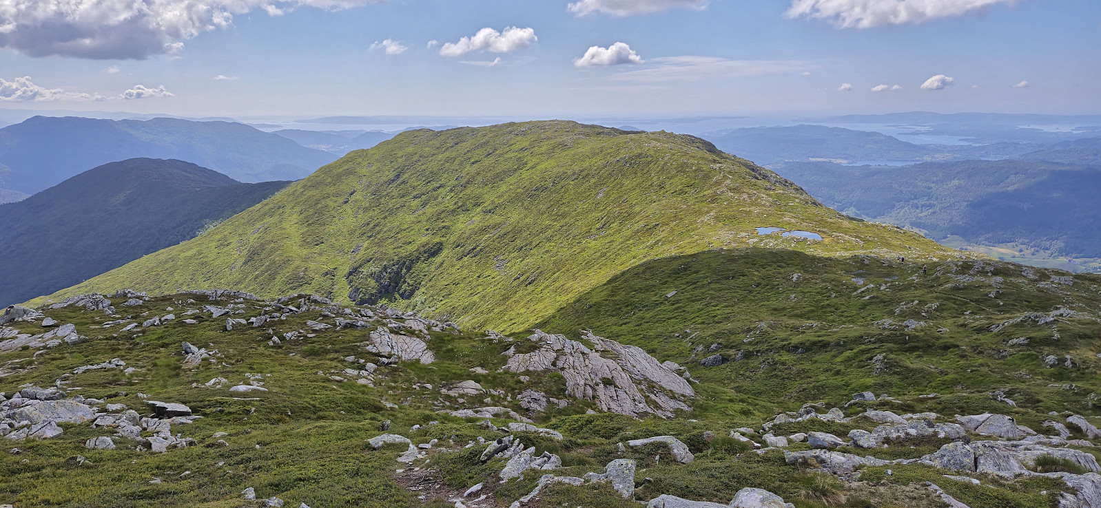
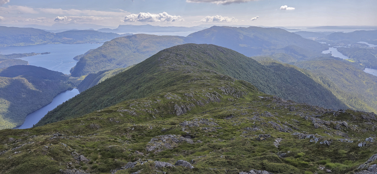
Sveningen from Øvredalen to Midsætret
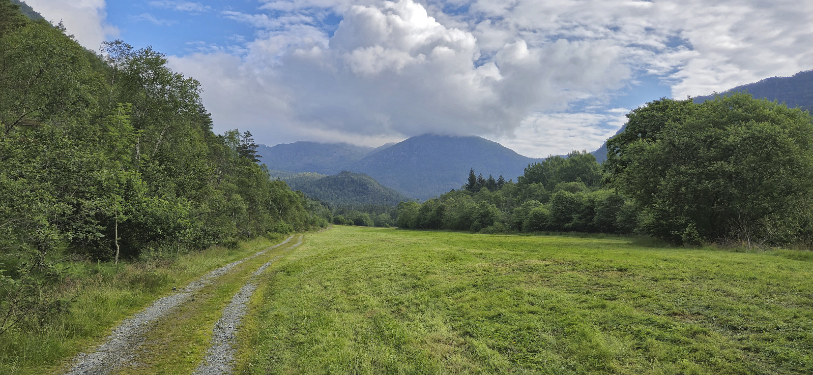
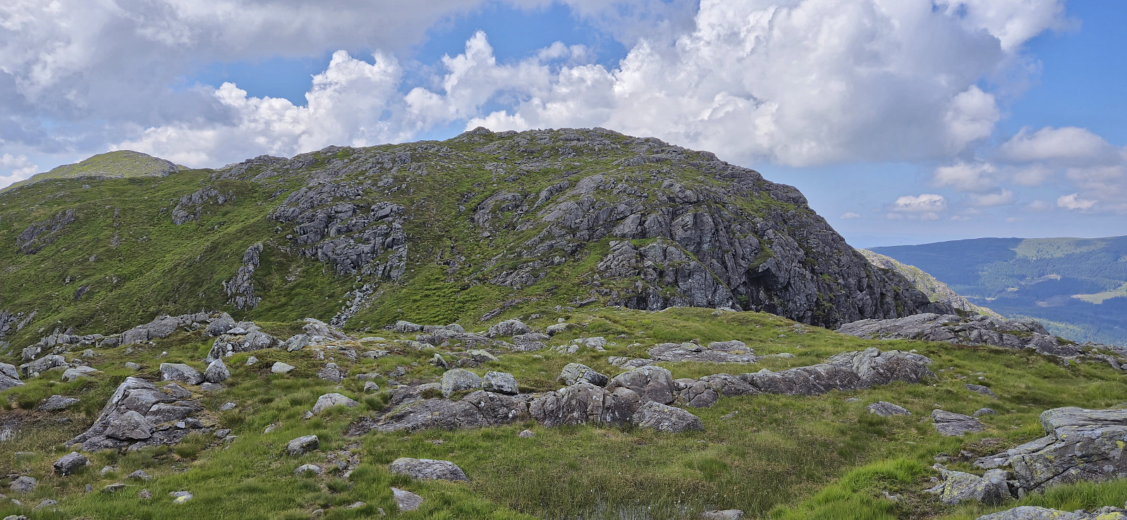
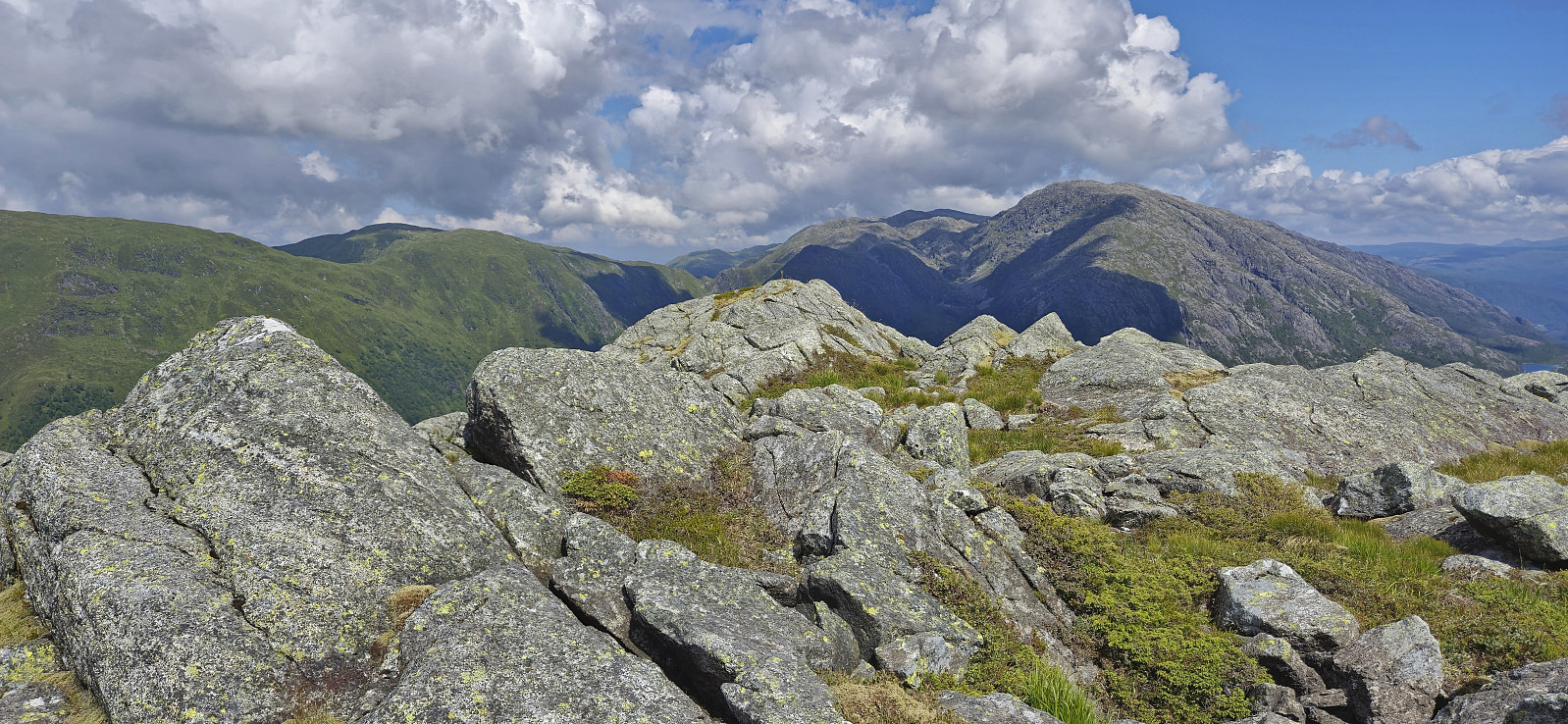
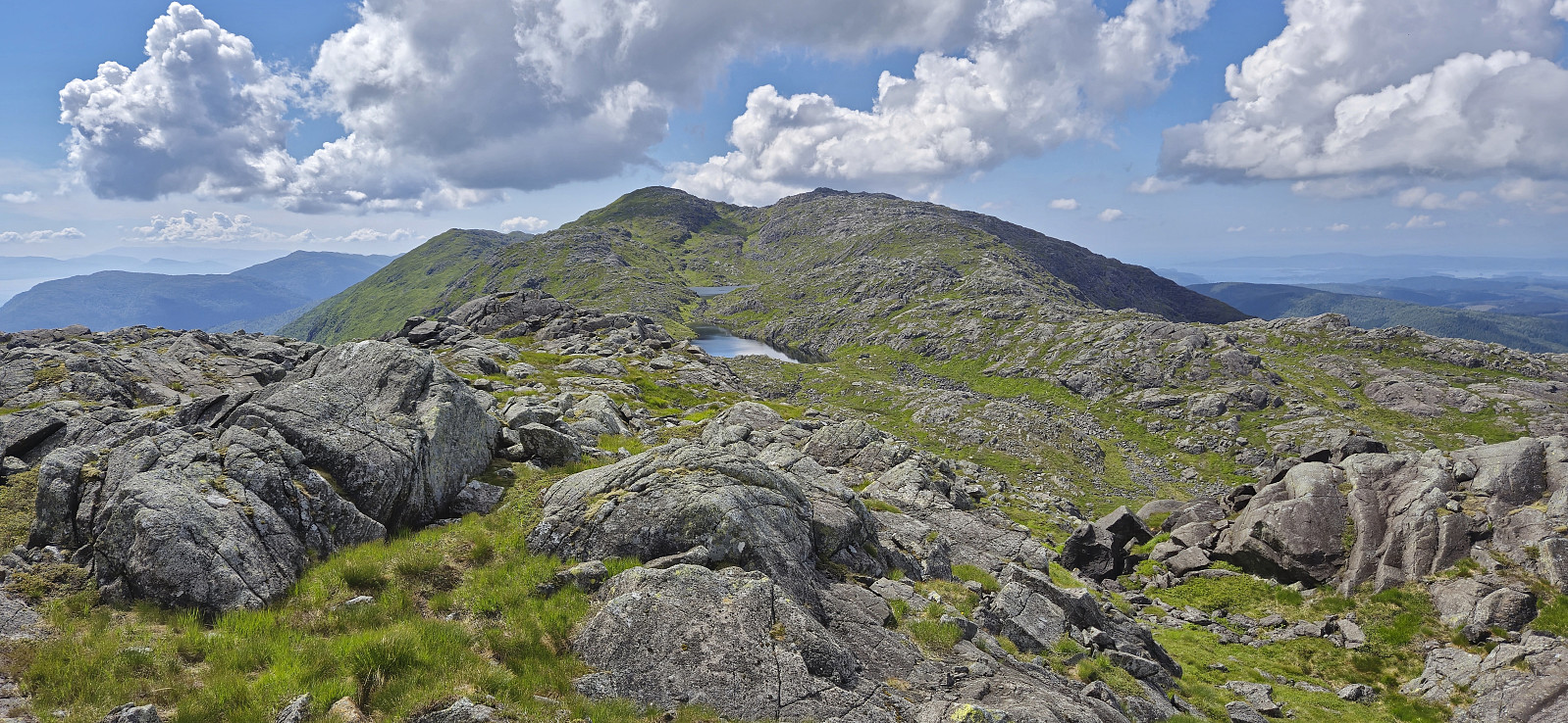
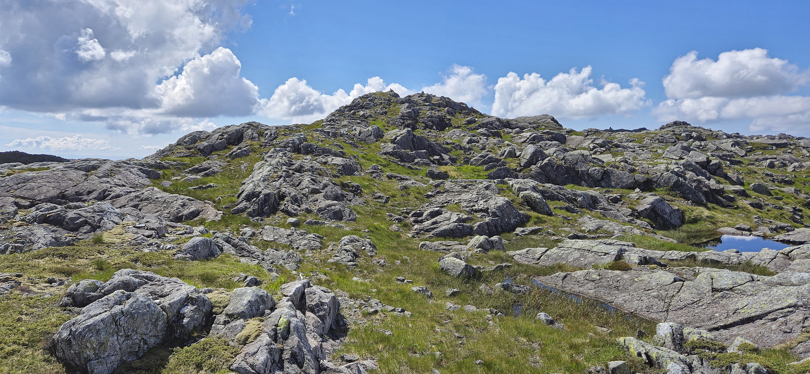
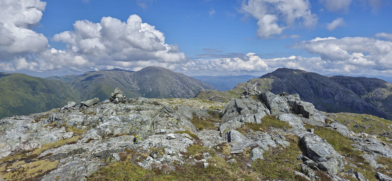
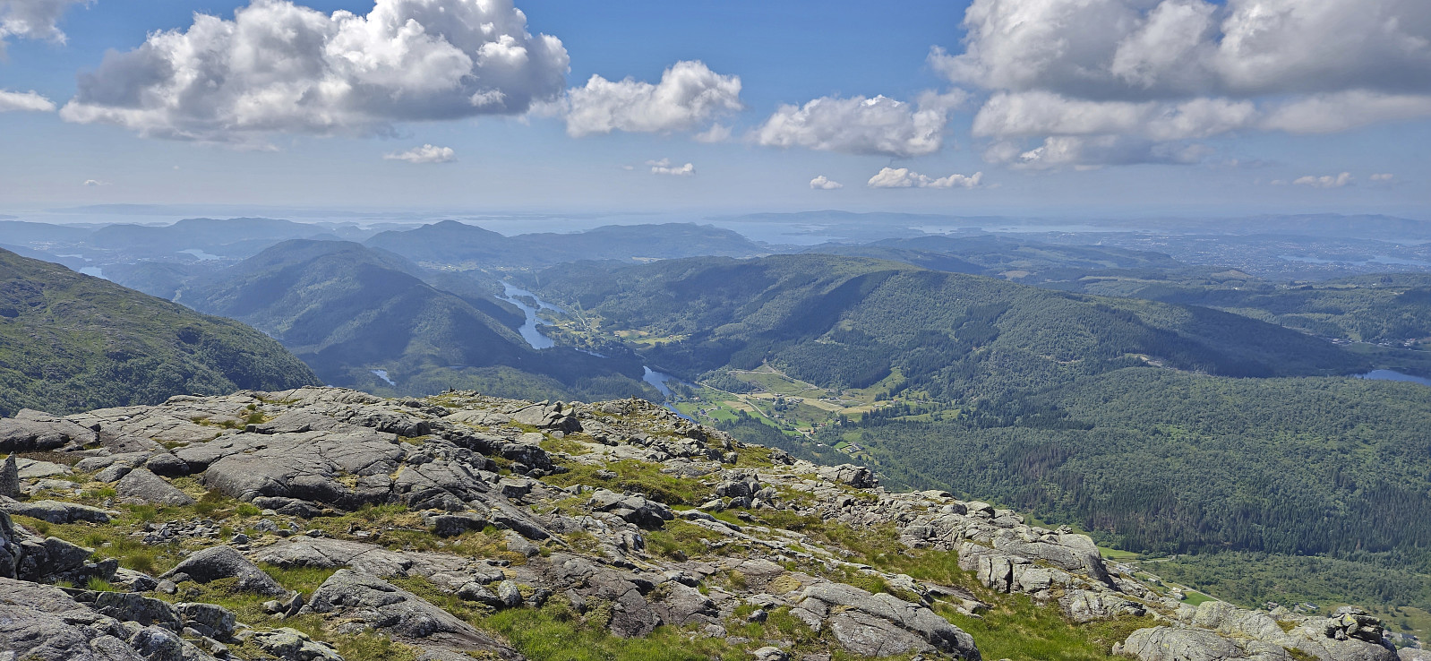
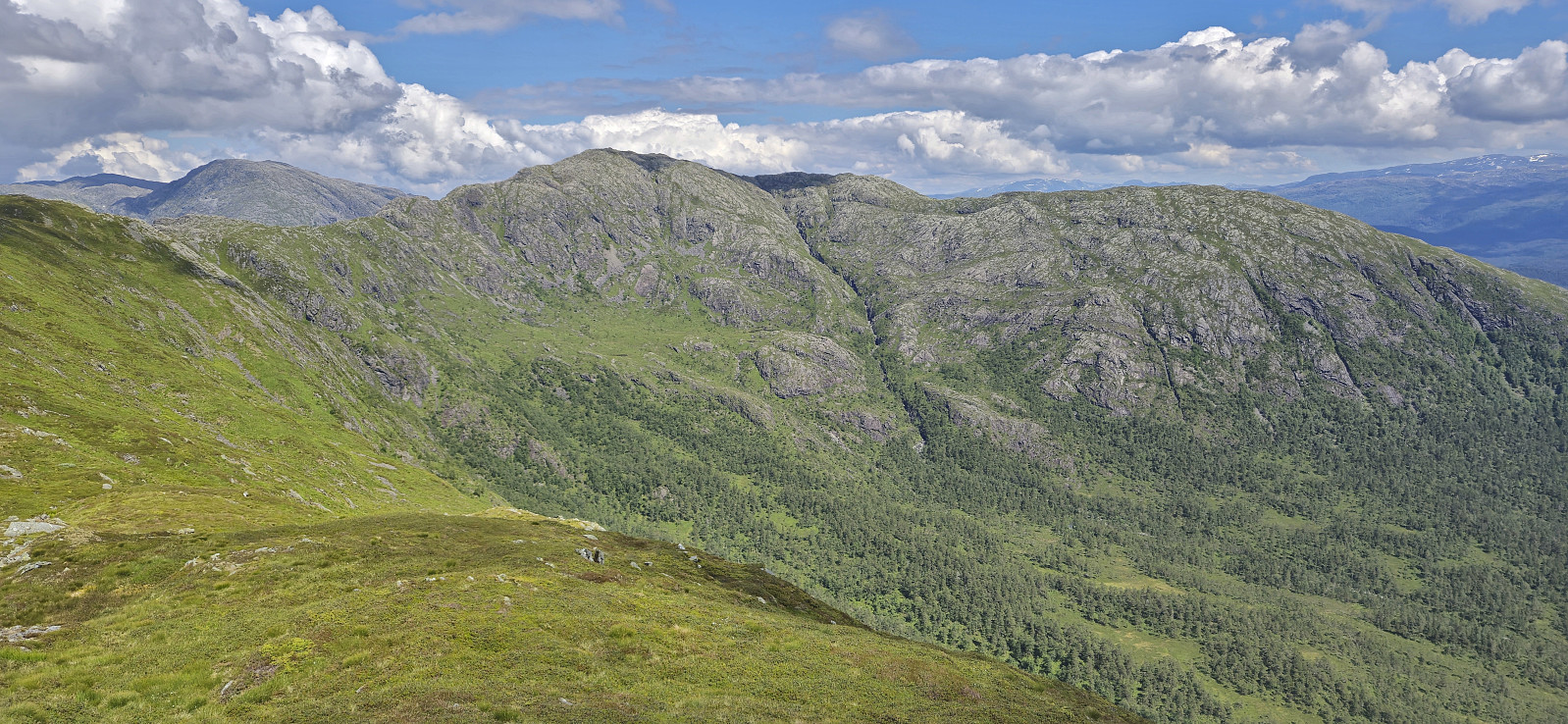
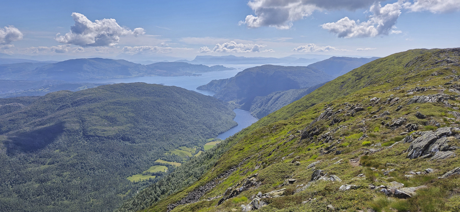
Ever since a dense fog hid all of the views during our previous visit of Sveningen, I had had plans of repeating the hike under better conditions. Today, seven years later, the day had finally arrived. Once more I managed to convince a couple of colleagues to join but unlike last time we arrived in two cars, allowing us to leave one car at Midsætret p-plass and thus enabling us to skip the rather boring almost 5 km walk back to Øvredalen parkering at the end of the hike.
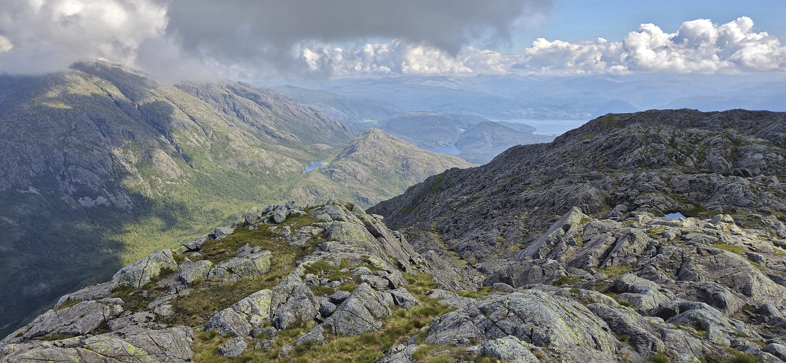
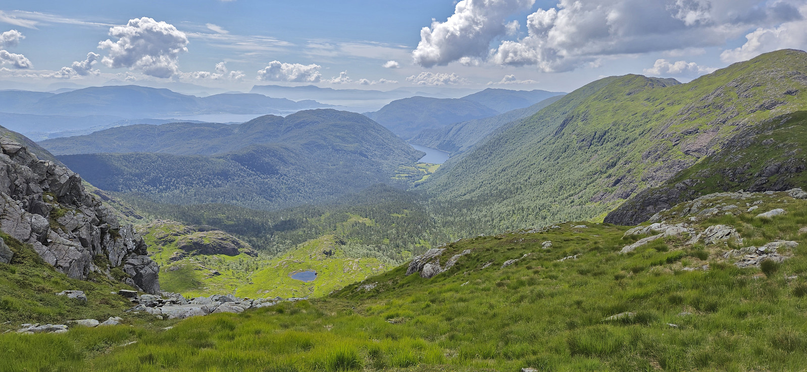
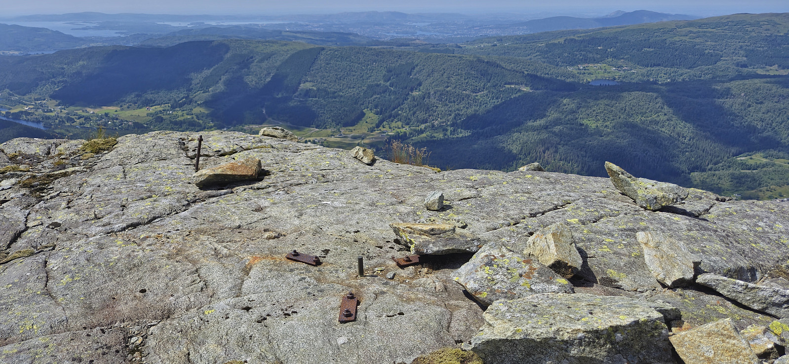
After parking the second car at Øvredalen parkering, we followed the standard route to the top of Sveningen. Here we had a short lunch break before heading south along the ridge towards Midsætret. Along the way I made short detours on my own to the summits of Drogegjeltoppen and Søtefjellet NV, plus an attempt to locate a trig marker at Sauskolten, of which I only found traces of the supporting metal structure. Upon returning to the car at Midsætret p-plass, we car-pooled back to Øvredalen to pick up the other car and conclude a much more enjoyable hike than the last time around and with significantly better views!
| Startzeitpunkt | 26.06.2024 09:12 (UTC+01:00 SZ) |
| Endzeitpunkt | 26.06.2024 15:56 (UTC+01:00 SZ) |
| Gesamtzeit | 6h 43min |
| Zeit in Bewegung | 5h 34min |
| Pausenzeit | 1h 09min |
| Gesamtschnitt | 2,4km/h |
| Bewegungsschnitt | 2,8km/h |
| Entfernung | 15,8km |
| Höhenmeter | 1.177m |

Benutzerkommentare