Munthemarki Rundt (23.06.2024)

| Startpunkt | Barsnesfjorden (10m) |
|---|---|
| Endpunkt | Barsnesfjorden (10m) |
| Tourcharakter | Bergtour |
| Tourlänge | 4h 10min |
| Entfernung | 11,5km |
| Höhenmeter | 740m |
| GPS |
|
| Besteigungen | Romnaholten (440m) | 23.06.2024 15:11 |
|---|---|---|
| Besuche anderer PBE | Olavskjelda (195m) | 23.06.2024 13:13 |
| Futaspranget (100m) | 23.06.2024 13:27 | |
| Ormaskori (303m) | 23.06.2024 14:20 | |
| Romnaholten utsiktspunkt (412m) | 23.06.2024 15:07 | |
| Dal (400m) | 23.06.2024 15:18 |
Munthemarki Rundt
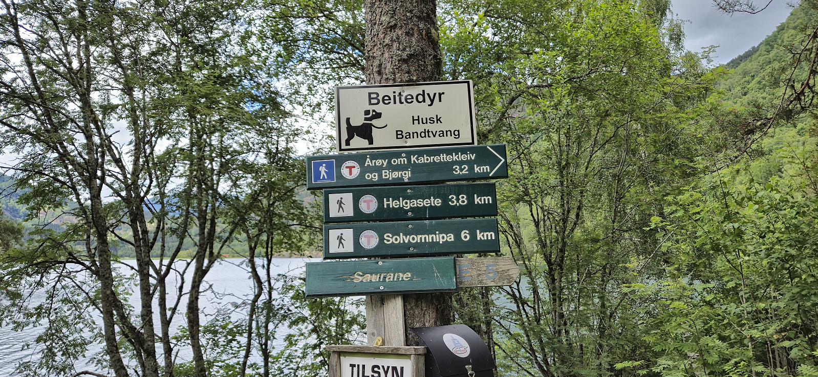
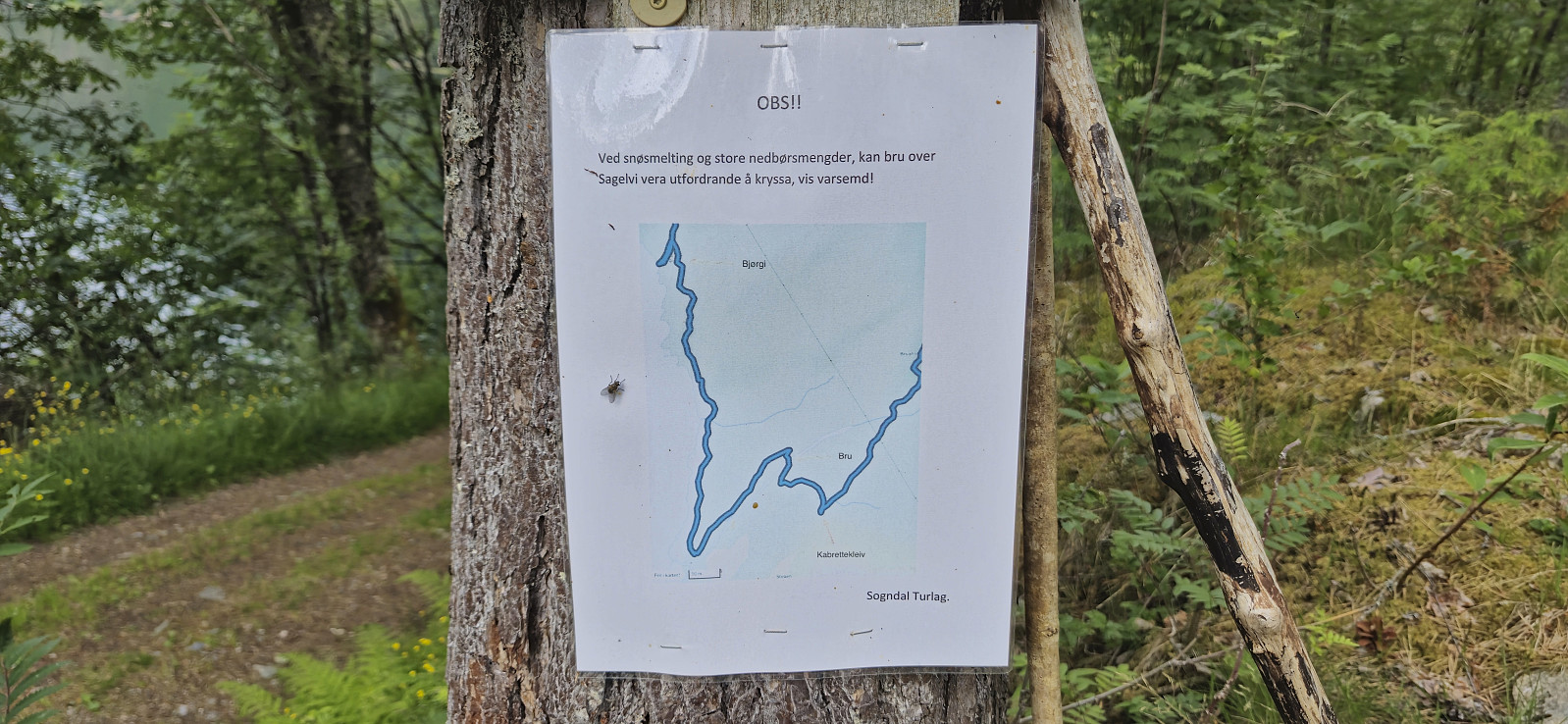
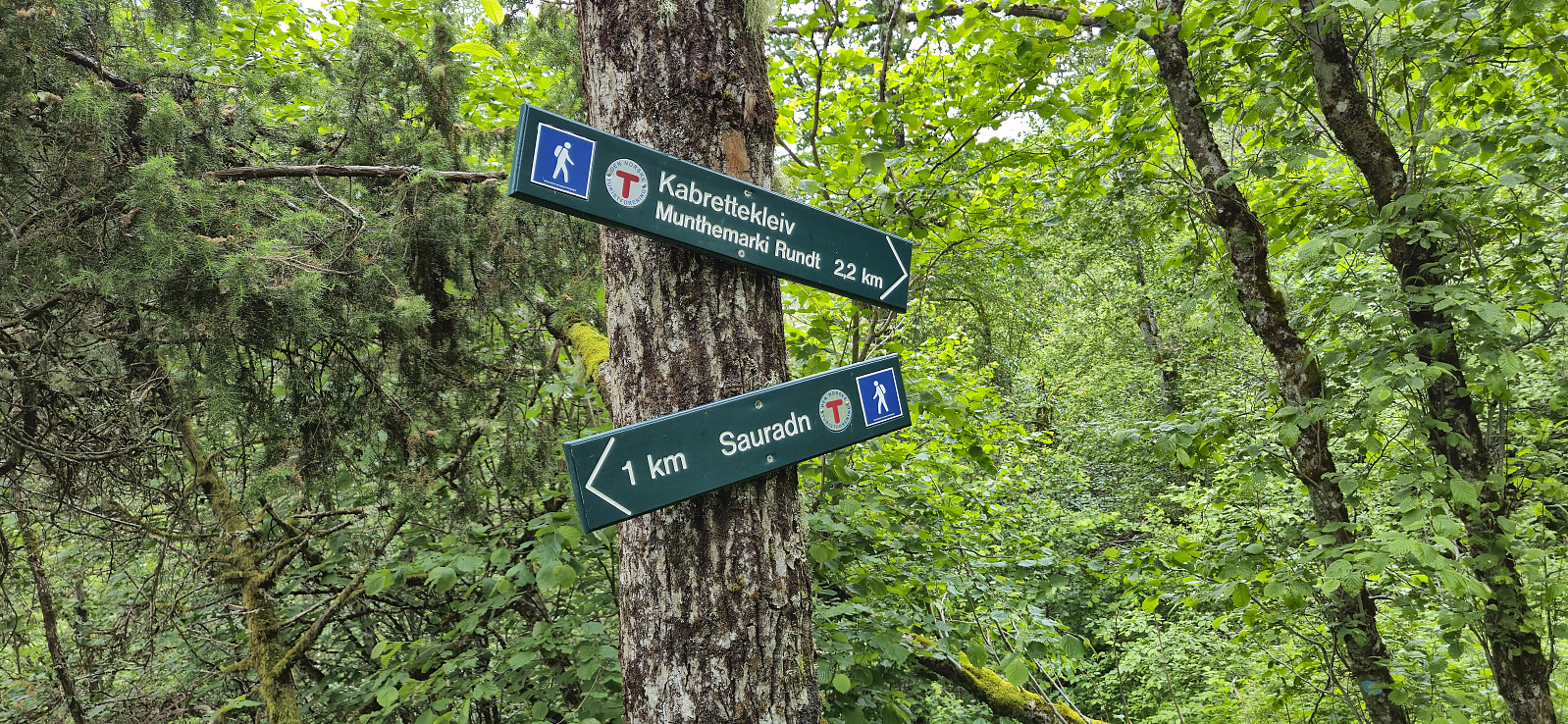
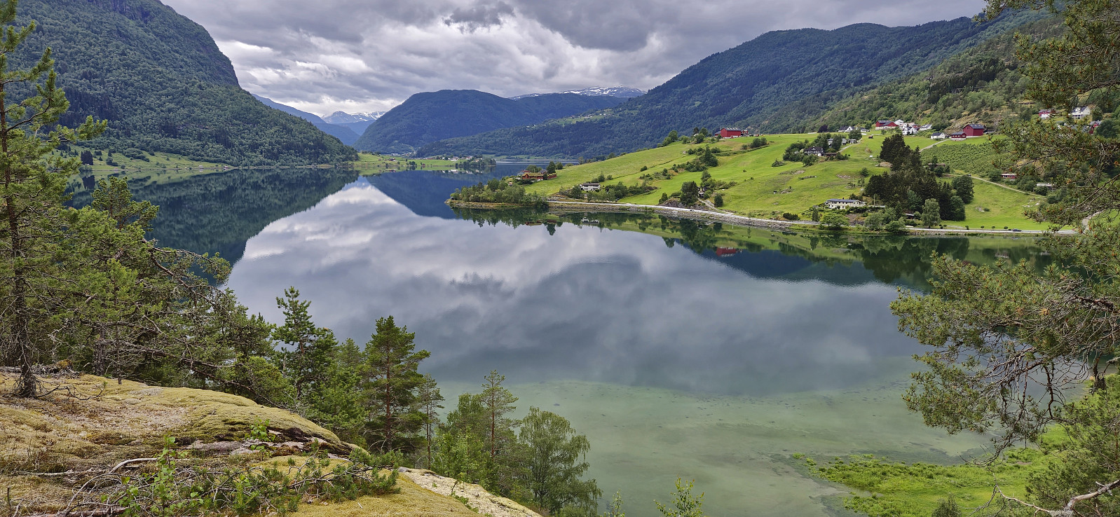
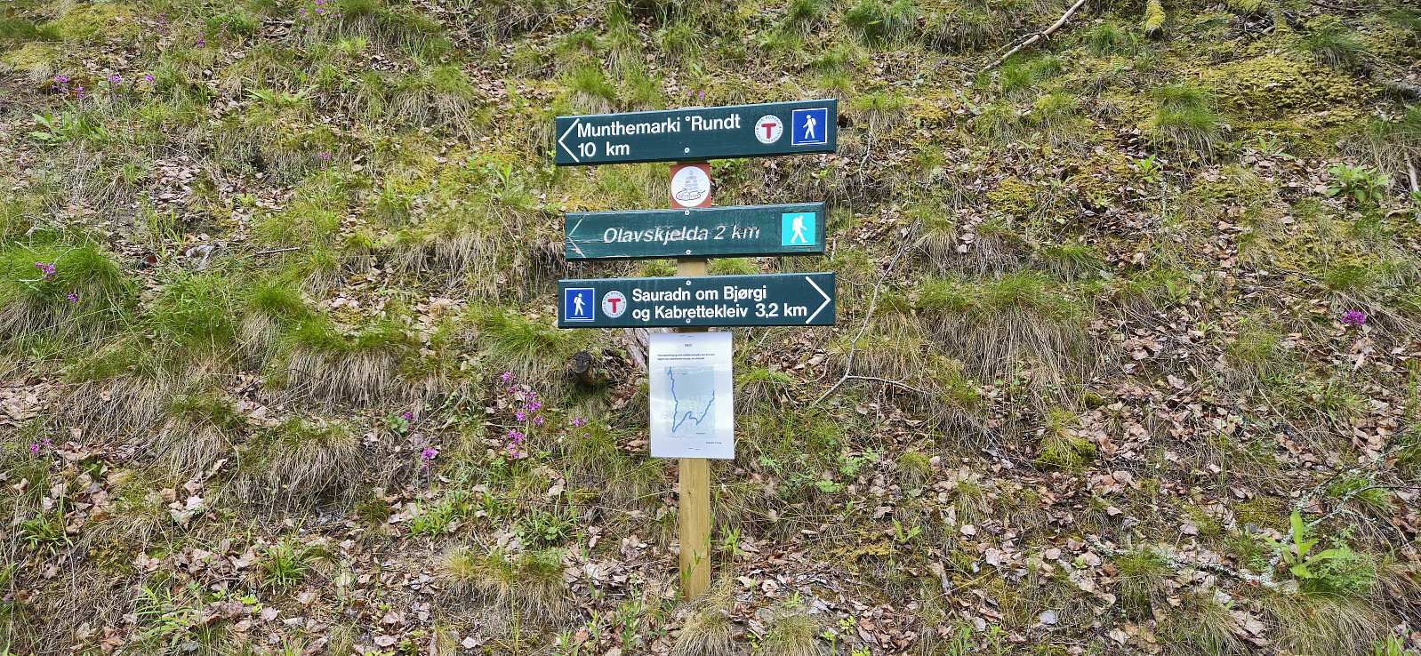
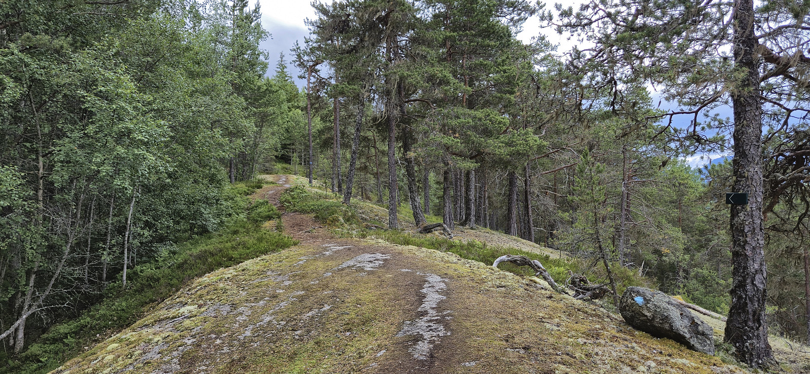
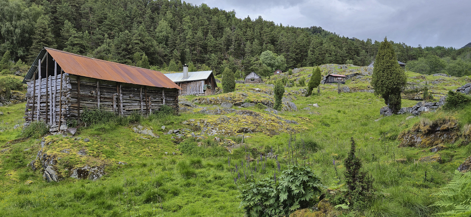
Sunday hike trying out the relatively recently marked route referred to as Munthemarki Rundt. We started from the private parking lot at the end of Barsnesfjorden and at first followed the standard route towards Helgasete. At Kabrettekleiv we however left the main trail and instead followed the signs for "Munthemarki Rundt".
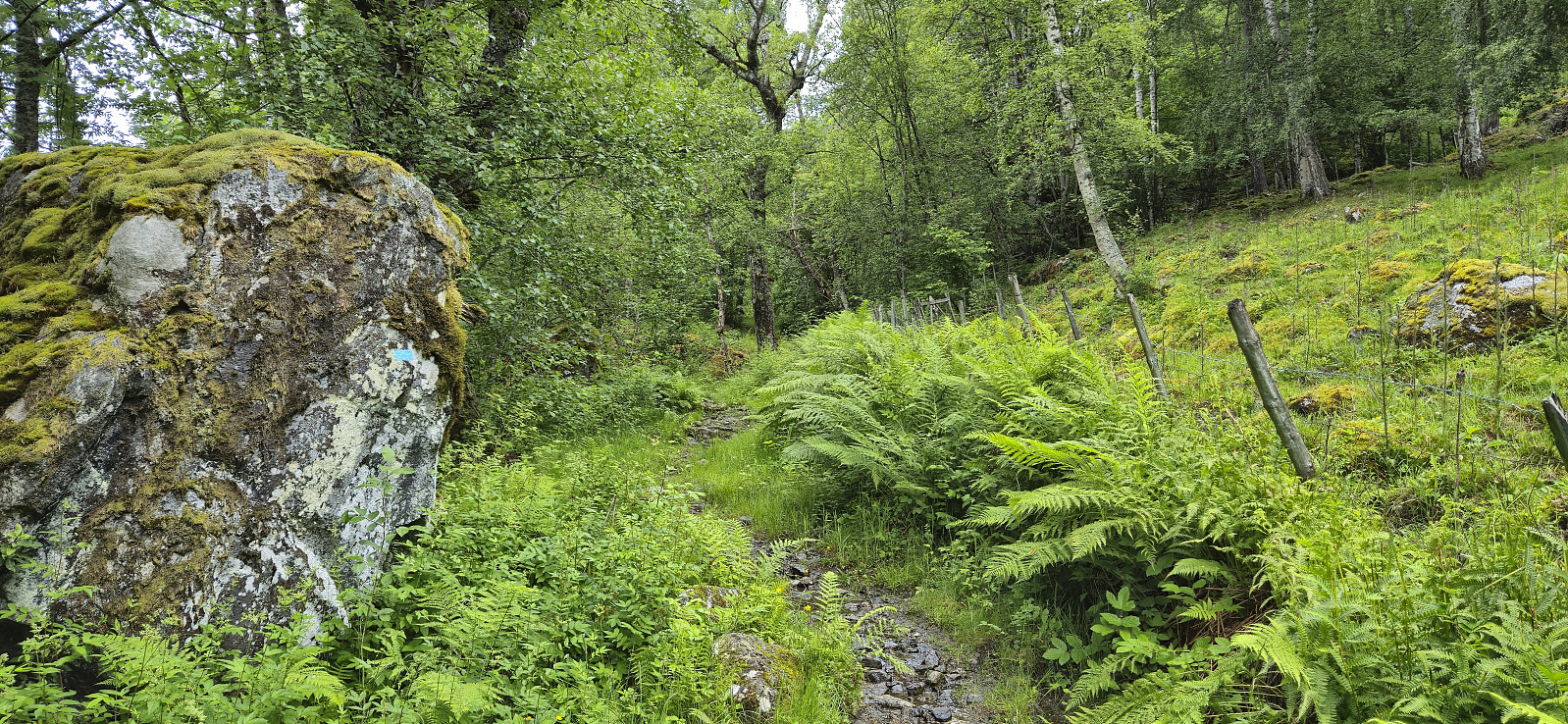
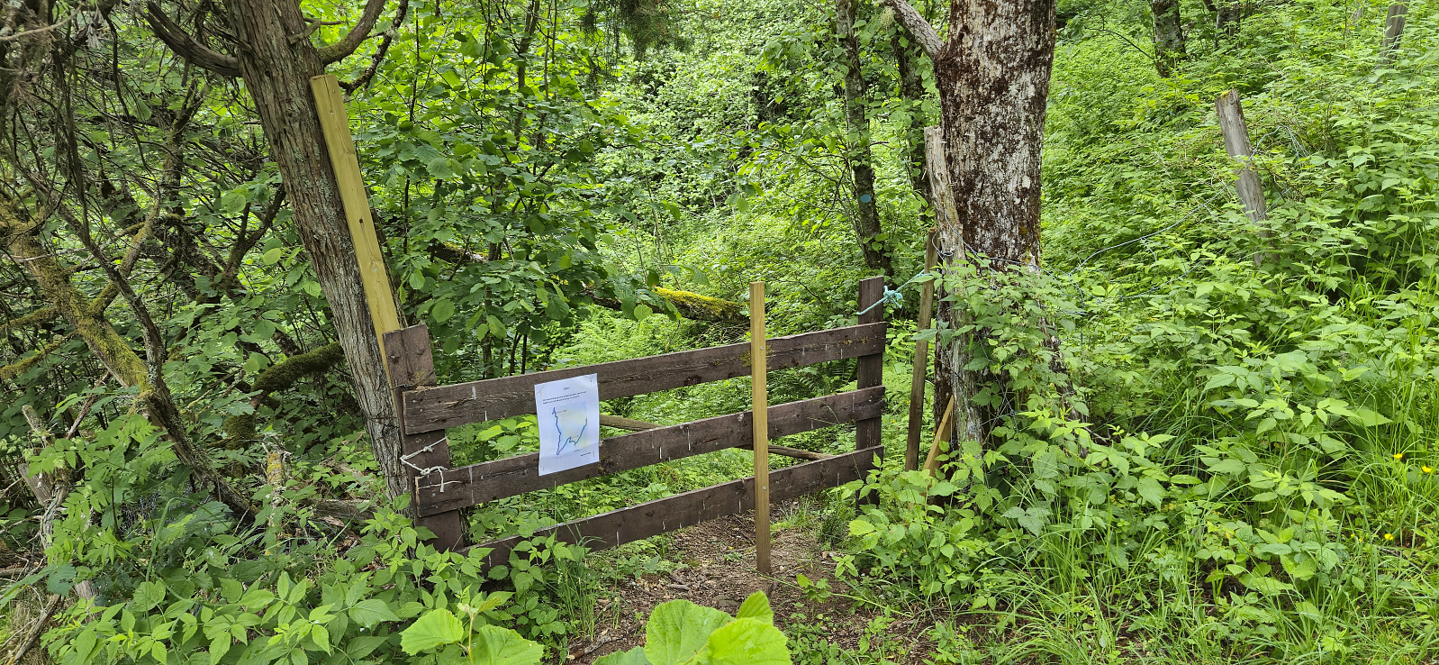
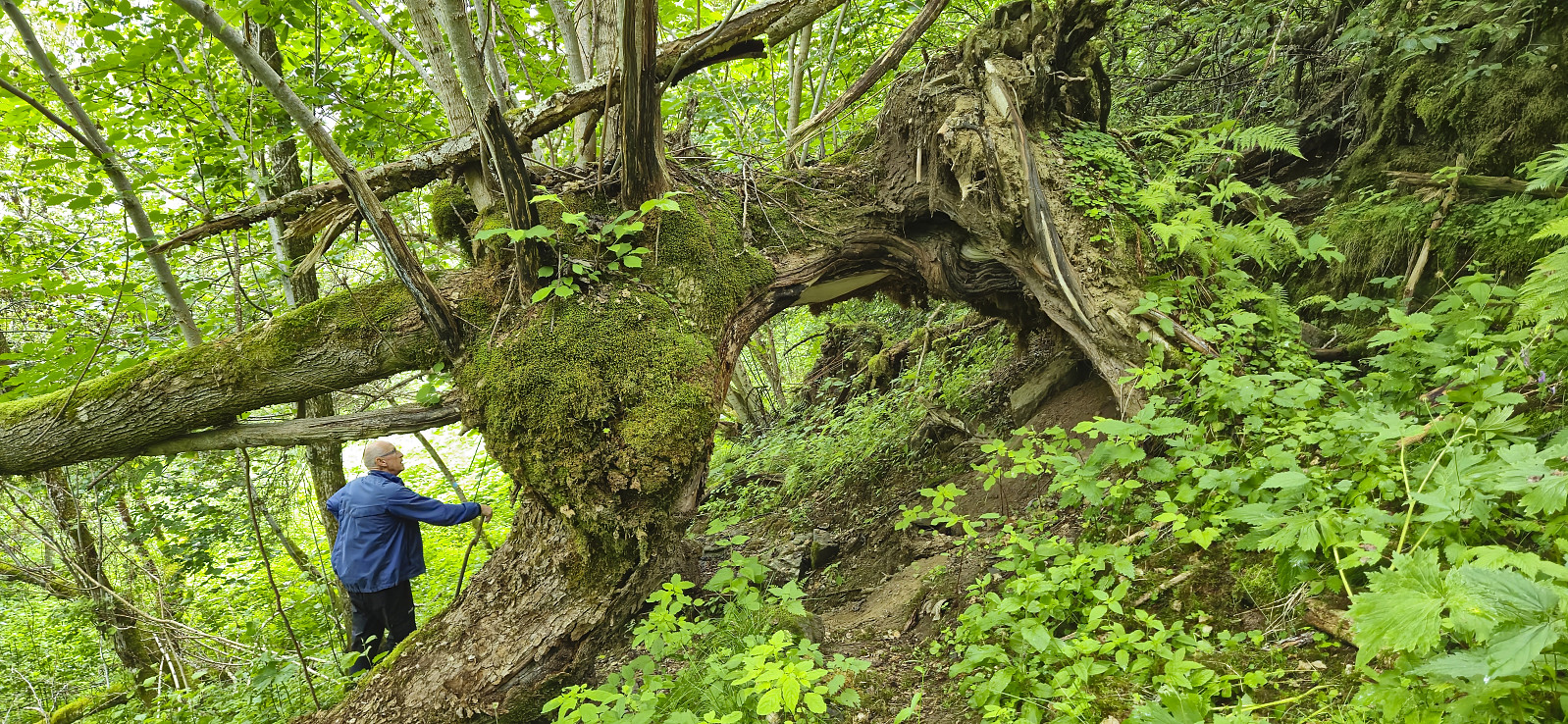
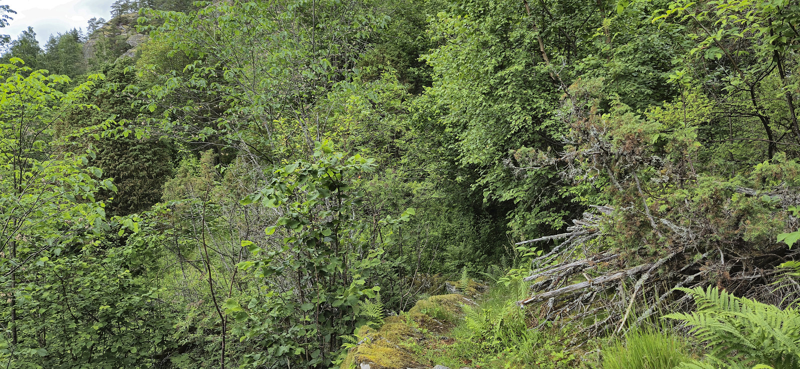
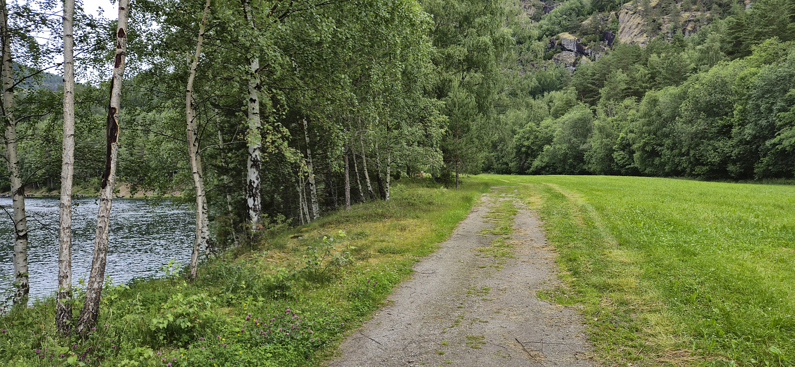
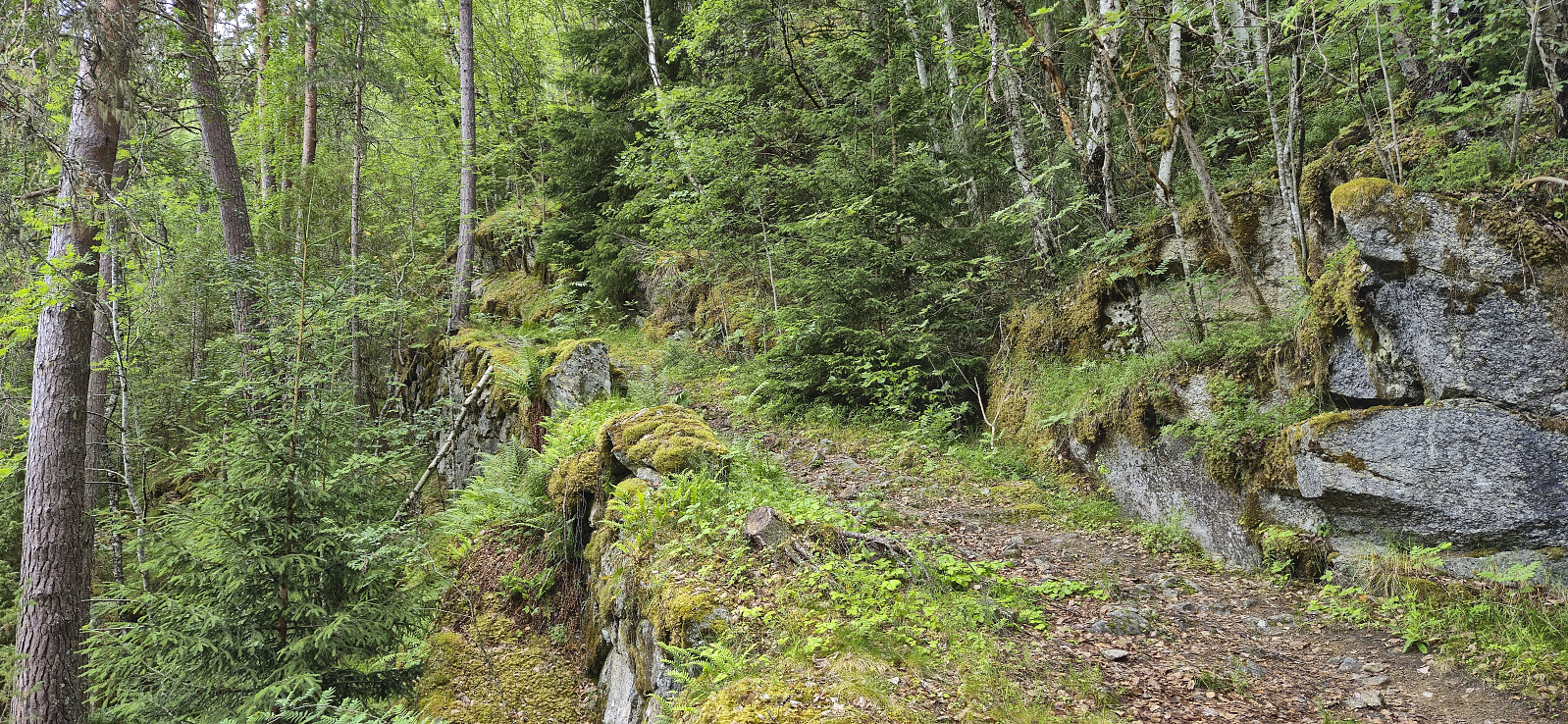
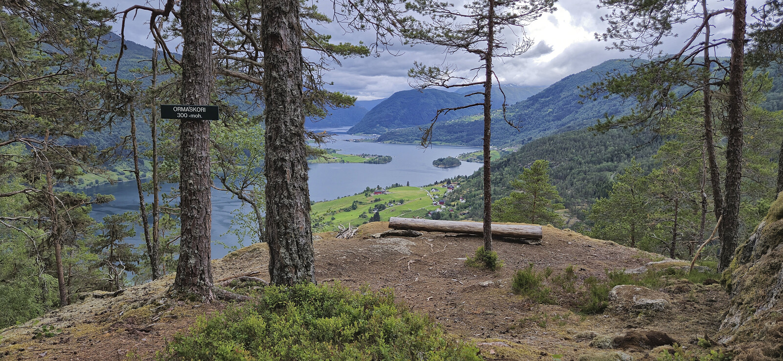
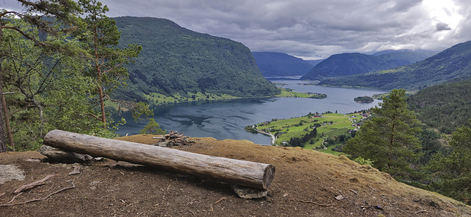
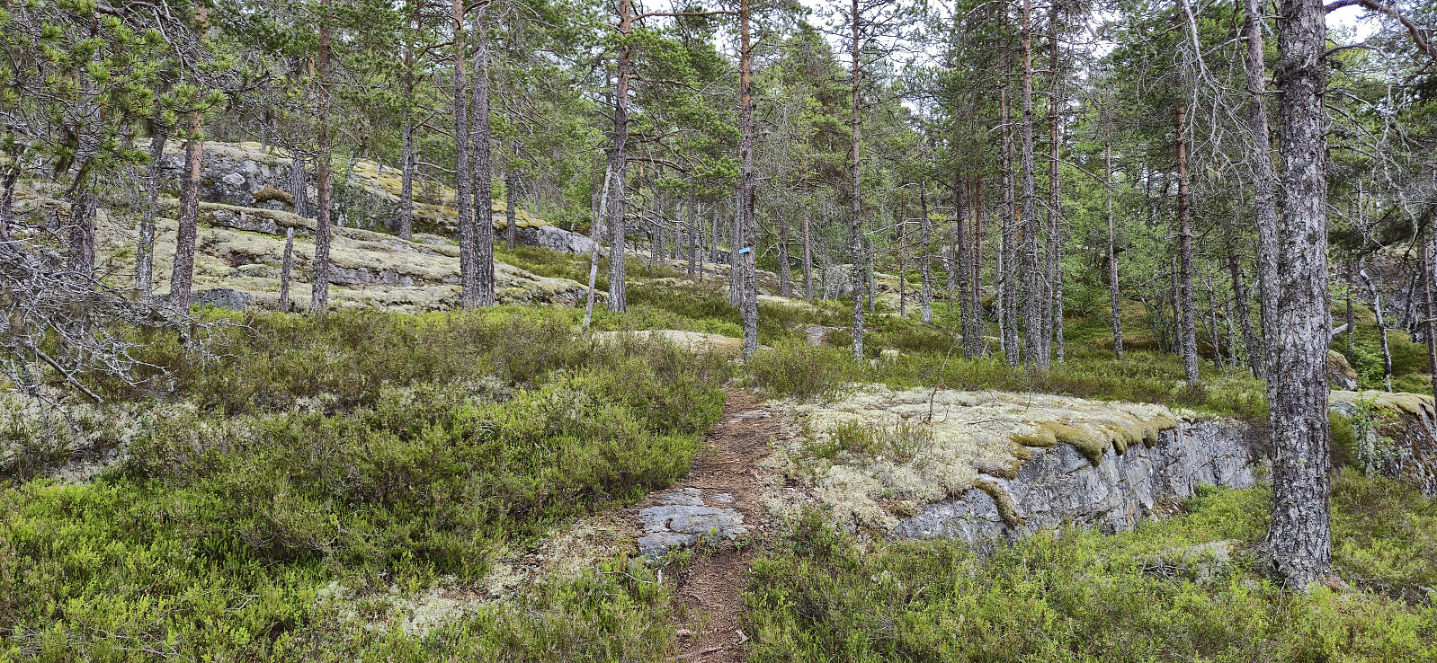
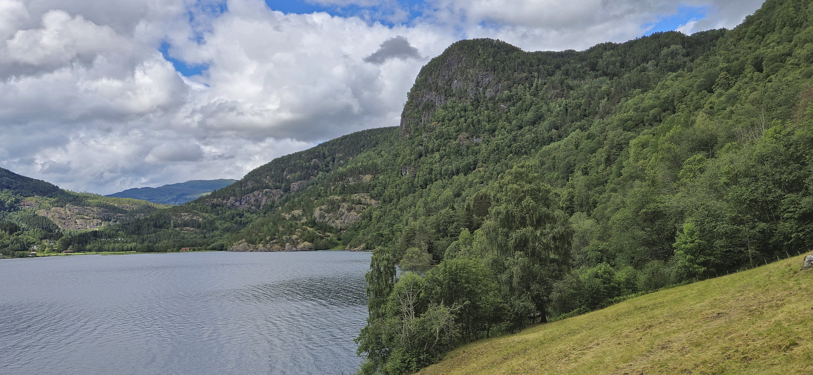
The trail was overall easy to follow. We soon arrived at Årøy where we briefly followed Kongevegen in the direction of Hafslovatnet before heading south on a tractor road that turned into a nice trail taking us to the excellent views at Ormaskori.
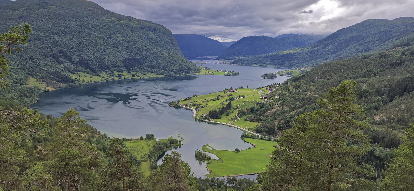
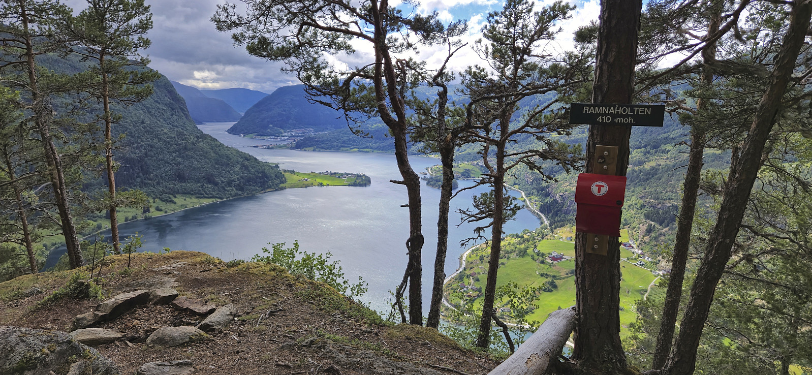
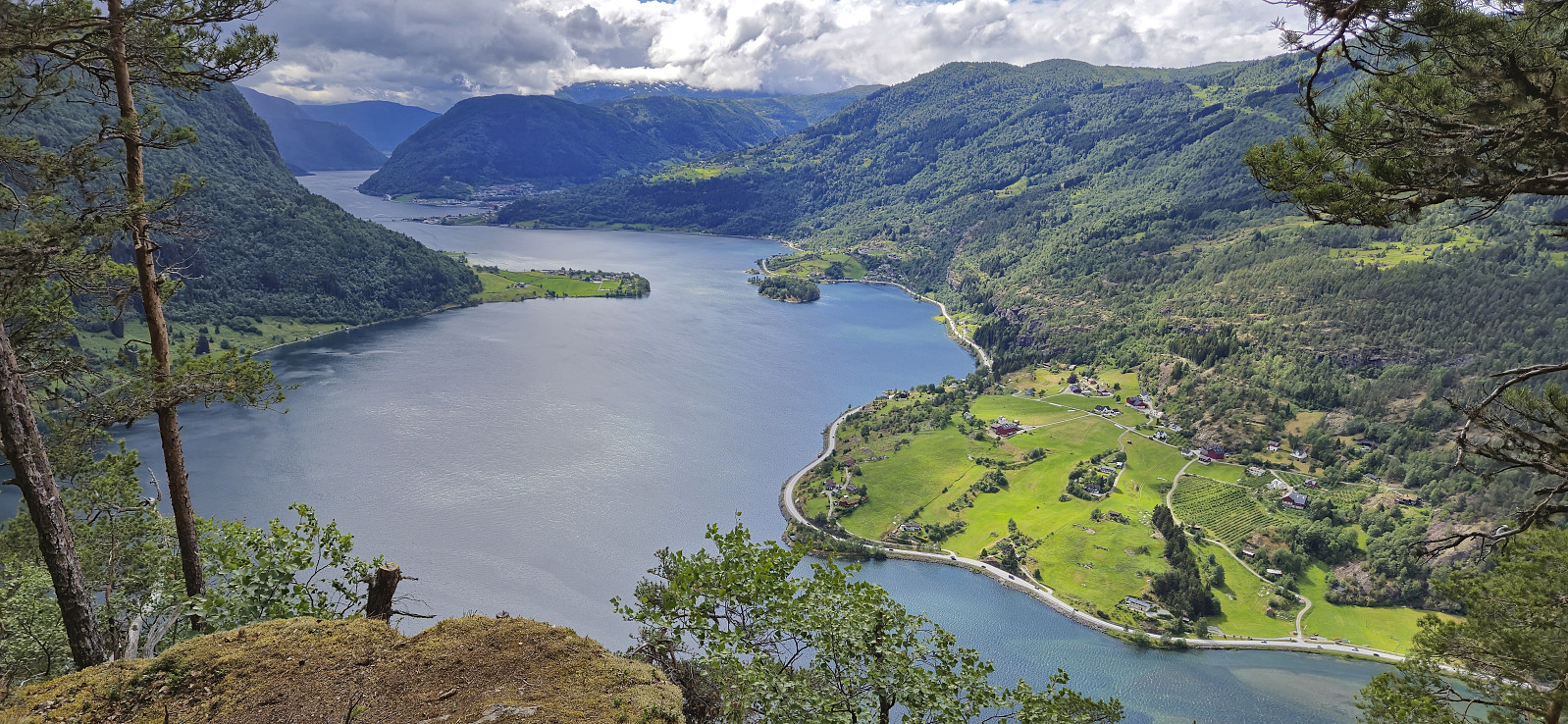
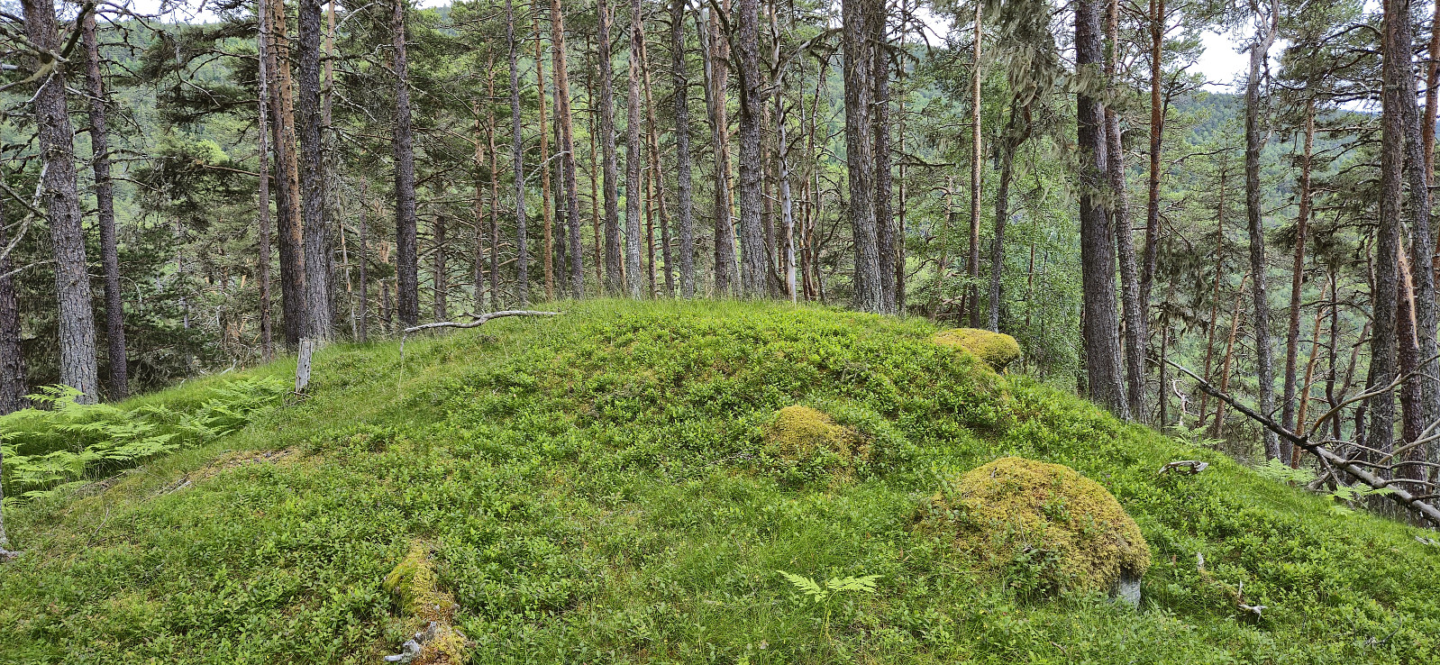
After a short break we continued via Galtastegen to more spectacular views at Romnaholten. From there we passed via Dal to connect with the standard trail back to the private parking lot.
To conclude, a great hike with spectacular views that can be highly recommended.
| Startzeitpunkt | 23.06.2024 11:49 (UTC+01:00 SZ) |
| Endzeitpunkt | 23.06.2024 15:59 (UTC+01:00 SZ) |
| Gesamtzeit | 4h 10min |
| Zeit in Bewegung | 3h 58min |
| Pausenzeit | 0h 12min |
| Gesamtschnitt | 2,8km/h |
| Bewegungsschnitt | 2,9km/h |
| Entfernung | 11,5km |
| Höhenmeter | 740m |
Note that the road to where the trail starts is private, i.e. no cars allowed. There are however a couple of parking spaces down by the small wharf along Barsnesfjorden just before the road turns west and starts climbing slightly towards the crossroads at Barsnes. Or you can start the trip from Årøy.

Benutzerkommentare