Cycling: Svartavassrinden (25.05.2024)

| Startpunkt | Lønborg (56m) |
|---|---|
| Endpunkt | Lønborg (56m) |
| Tourcharakter | Fahrradtour gemischt |
| Tourlänge | 5h 26min |
| Entfernung | 66,4km |
| Höhenmeter | 1.160m |
| GPS |
|
| Besteigungen | Svartavassrinden (472m) | 25.05.2024 |
|---|---|---|
| Besuche anderer PBE | Arna stasjon (8m) | 25.05.2024 |
| Espeland fangeleir (130m) | 25.05.2024 | |
| Osavatnet p-plass (kr) (310m) | 25.05.2024 |
Cycling: Svartavassrinden
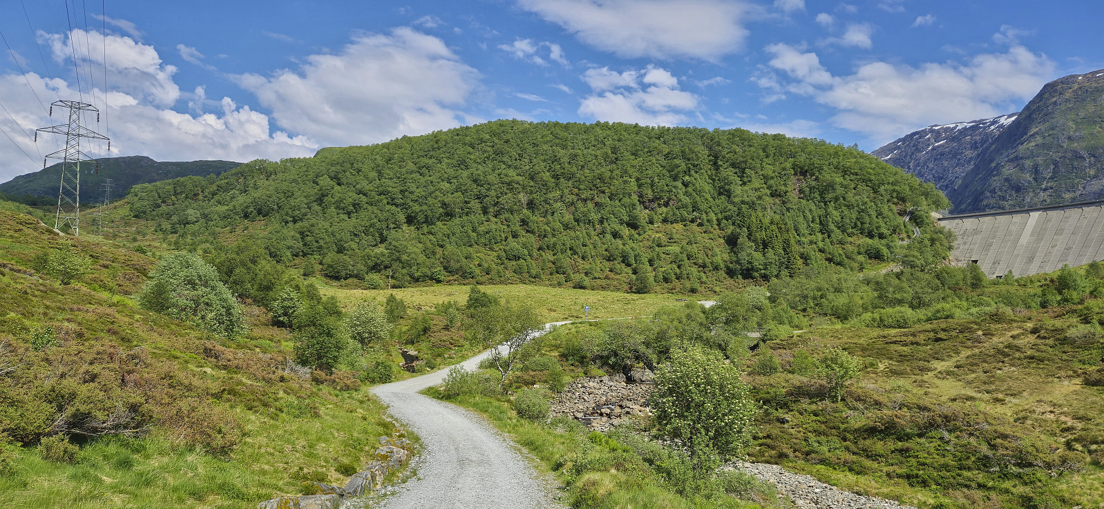
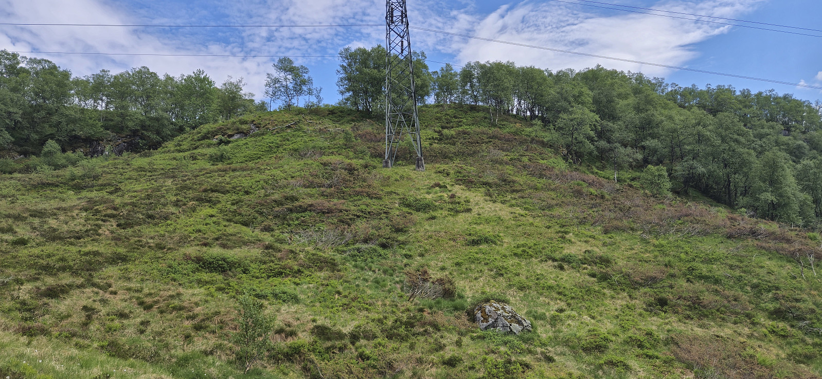
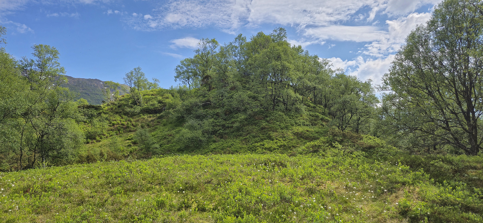
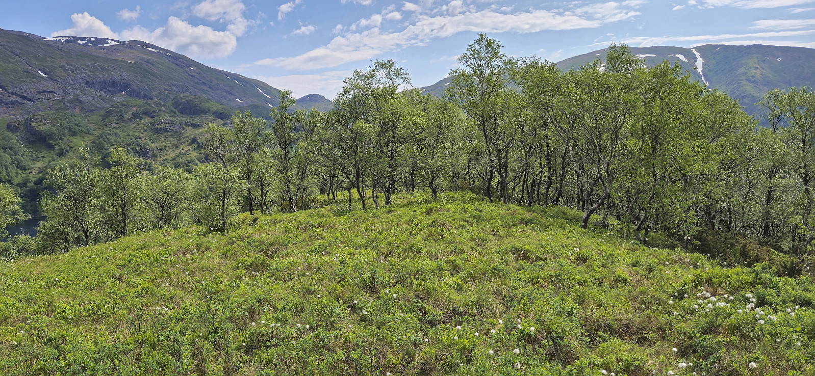
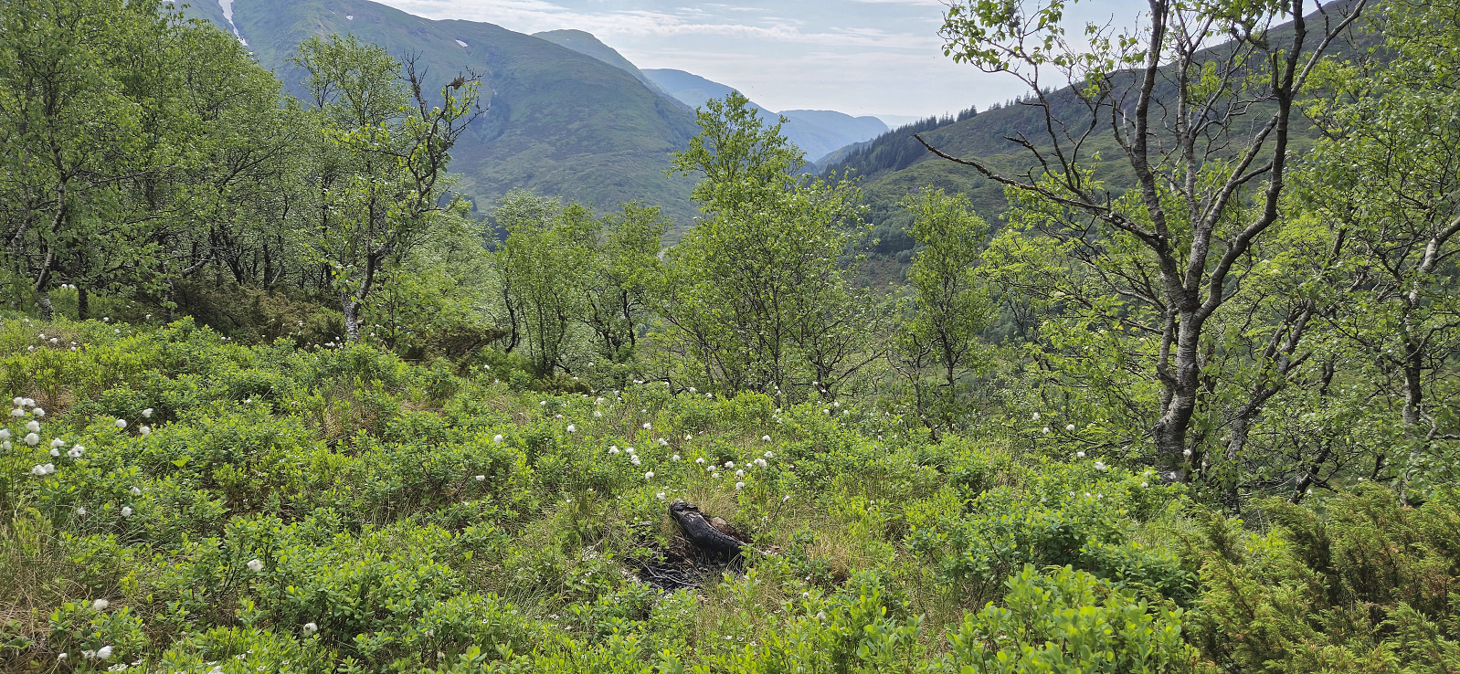
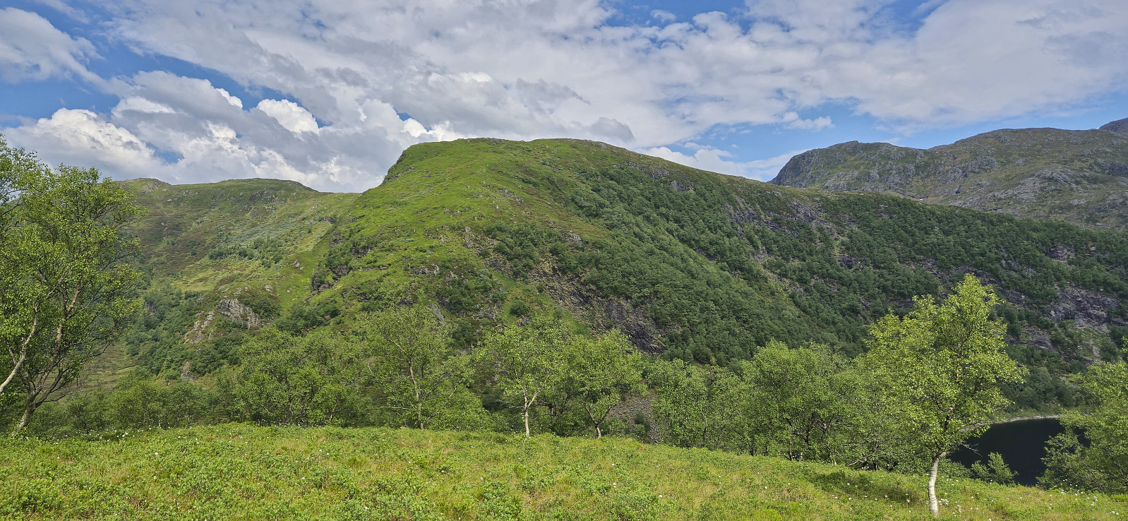
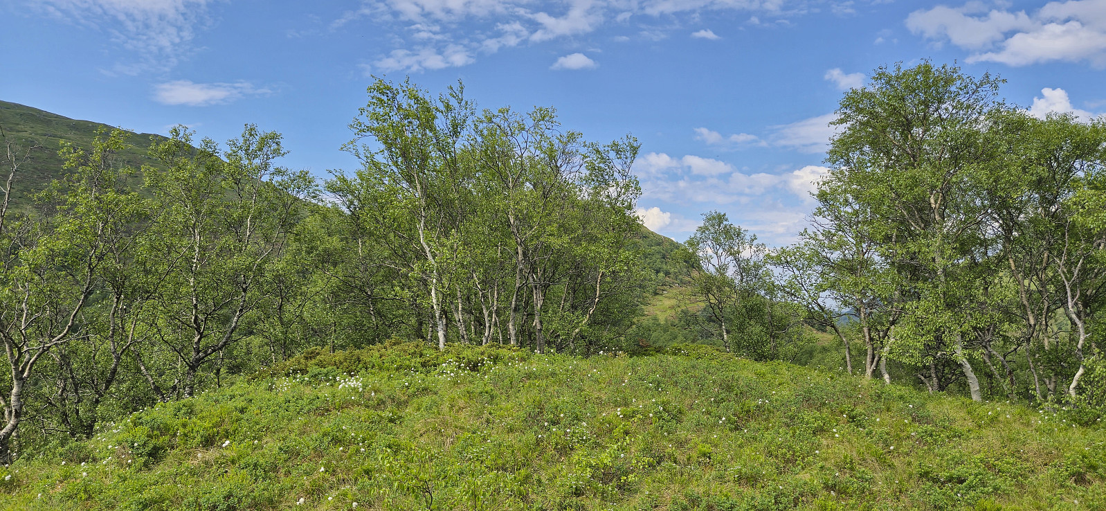
Due to a weather forecast with potential rain showers in the afternoon, I opted for a cycling trip to visit Svartavassrinden. I had passed by this minor peak several times but never been to the summit. After 33 km on the bike, I left it at the end of the gravel road and completed the final short off-trail distance to the summit on foot. I returned the same way for a late lunch break back at the end of the gravel road. The trip was then concluded by cycling the same route to Lønborg, where I made it home just before it started raining.

| Startzeitpunkt | 25.05.2024 12:42 (UTC+01:00 SZ) |
| Endzeitpunkt | 25.05.2024 18:09 (UTC+01:00 SZ) |
| Gesamtzeit | 5h 26min |
| Zeit in Bewegung | 4h 57min |
| Pausenzeit | 0h 28min |
| Gesamtschnitt | 12,2km/h |
| Bewegungsschnitt | 13,4km/h |
| Entfernung | 66,4km |
| Höhenmeter | 1.160m |

Benutzerkommentare
The height profile...
Geschrieben von HHauser 03.06.2024 00:19... of this trip really is deceiving! :-) As if Svartavassrinden would stand out like that. :-) But great to do a proper trip, even when the trip objective is not exactly a major mountain.
Re: The height profile...
Geschrieben von hbar 03.06.2024 15:24While the height profile may look deceiving, it still pretty much sums up the feeling of the constant ascent when cycling up from Espeland. ;)