Cycling: Hordvikneset (19.05.2024)

| Startsted | Lønborg (56moh) |
|---|---|
| Sluttsted | Lønborg (56moh) |
| Turtype | Blandet sykling |
| Turlengde | 3t 15min |
| Distanse | 40,5km |
| Høydemeter | 627m |
| GPS |
|
| Andre besøkte PBE'er | Hordvikneset søyle (57moh) | 19.05.2024 |
|---|---|---|
| Kråkeberget (42moh) | 19.05.2024 |
Cycling: Hordvikneset
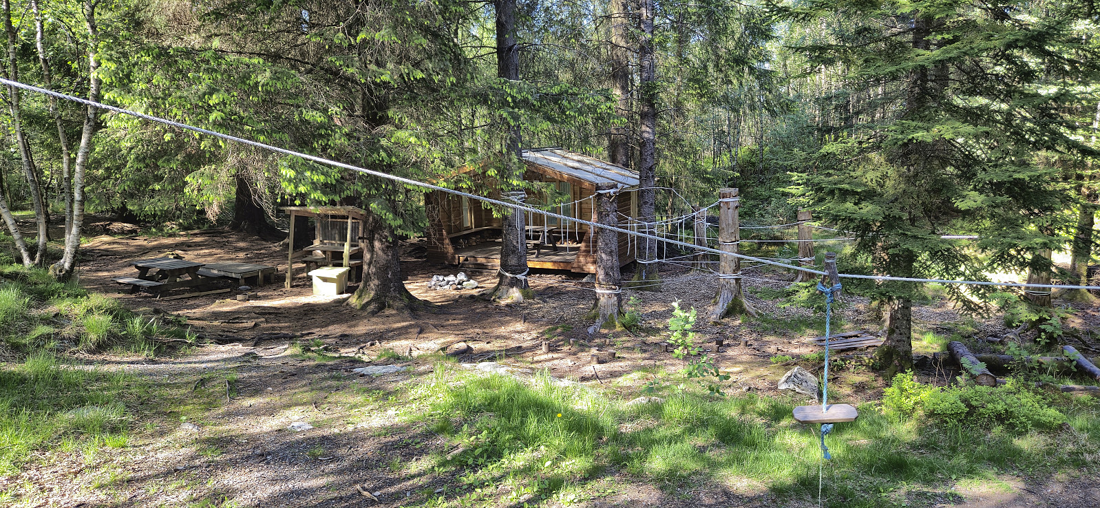
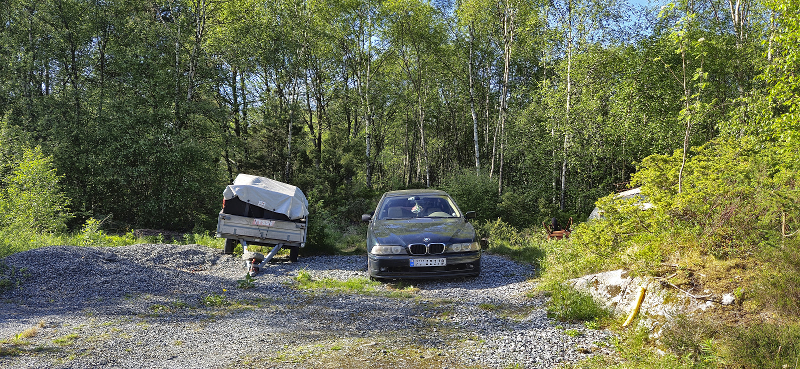
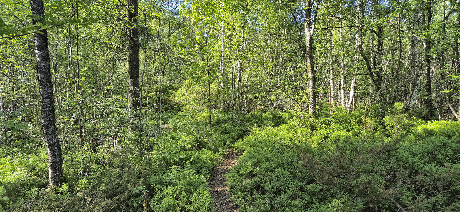
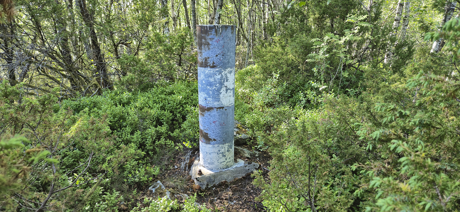
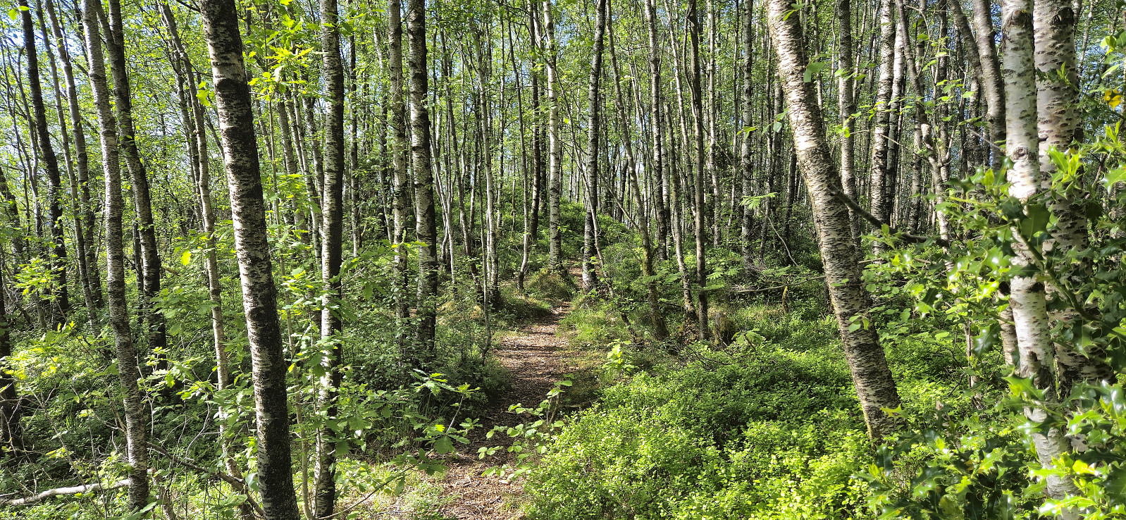
Afternoon cycling trip with the main objective of visiting the trig marker at Hordvikneset. Upon arriving at Balane I left my bike behind and continued on foot. At first I failed to find the trailhead and ended up in a playground where my progress was quickly blocked by a fence. The proper trailhead was however located next and I could then follow a surprisingly nice trail almost all the way to the trig marker. For the final stretch a much weaker trail had to be used but in the end the marker was reached without any issues.
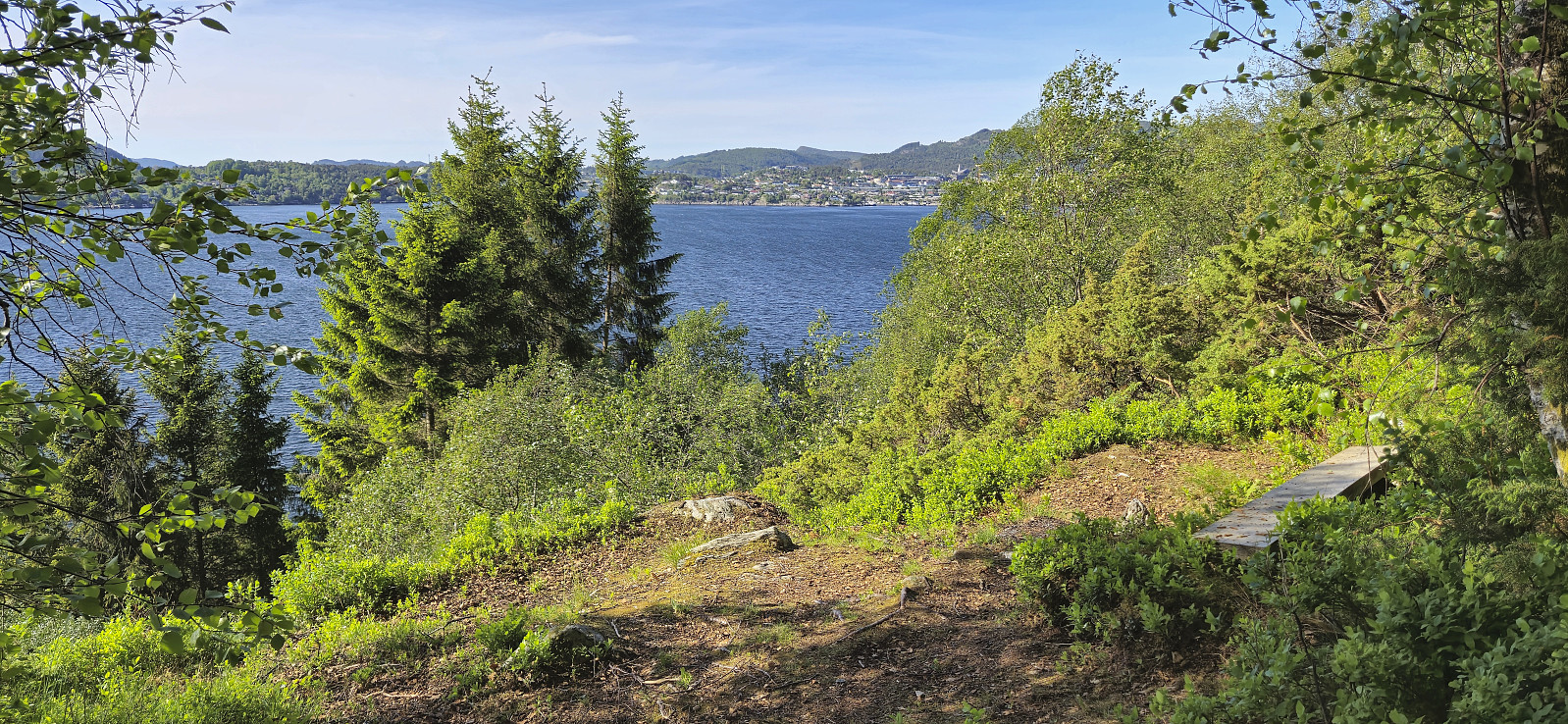
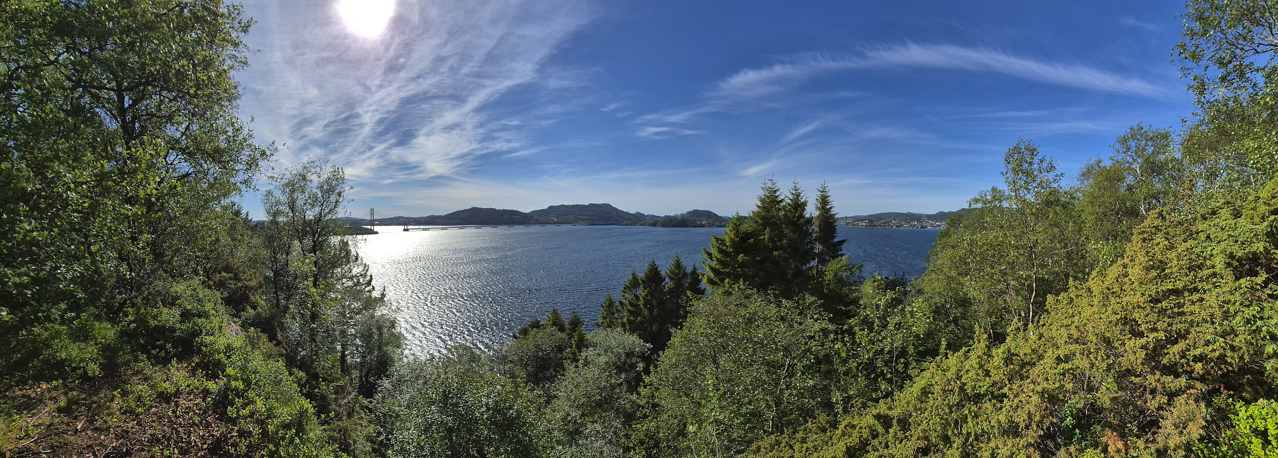
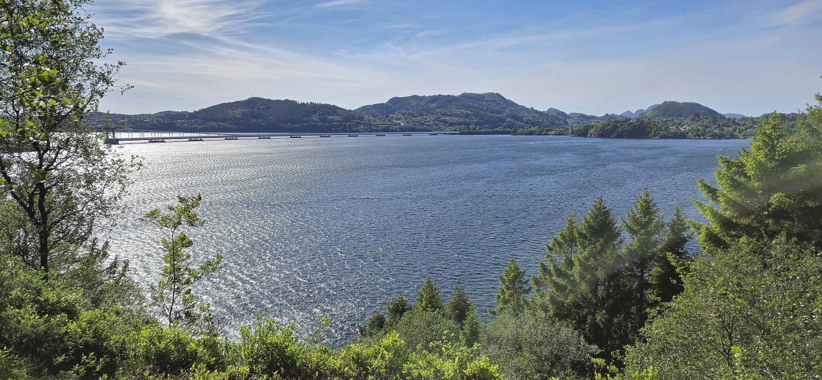
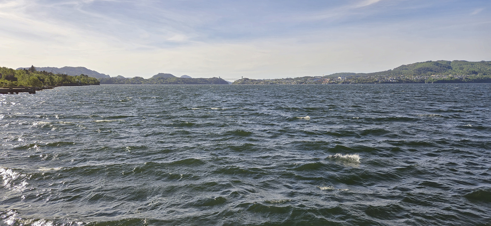
No views at all from the trig marker but given the nice trail I assumed there would be better views close by. I therefore returned to the main trail and followed it north to Kråkeberget (now added as its own PB-element) where I was rewarded by great views towards Norhordlandsbroen, Holsenøy, Flatøy and Knarvik. The trail continued southeast, hence it is probably possible to make this into a roundtrip if desired. I however had to get back to my bike and therefore returned the same way. On the way home I included a short exploration of Steinstø.
| Starttidspunkt | 19.05.2024 15:59 (UTC+01:00 ST) |
| Sluttidspunkt | 19.05.2024 19:14 (UTC+01:00 ST) |
| Totaltid | 3t 15min |
| Bevegelsestid | 2t 58min |
| Pausetid | 0t 16min |
| Snittfart totalt | 12,5km/t |
| Snittfart bevegelsestid | 13,6km/t |
| Distanse | 40,5km |
| Høydemeter | 627m |

Kommentarer