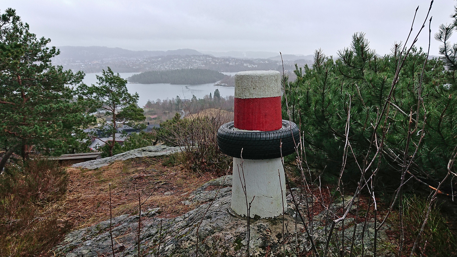
Bønes søyle (27.01.2024)

| Startsted | Bønes senter (93moh) |
|---|---|
| Sluttsted | Oasen terminal (41moh) |
| Turtype | Fottur |
| Turlengde | 0t 47min |
| Distanse | 4,0km |
| Høydemeter | 65m |
| GPS |
|
| Andre besøkte PBE'er | Bønes søyle (94moh) | 27.01.2024 |
|---|
Bønes søyle
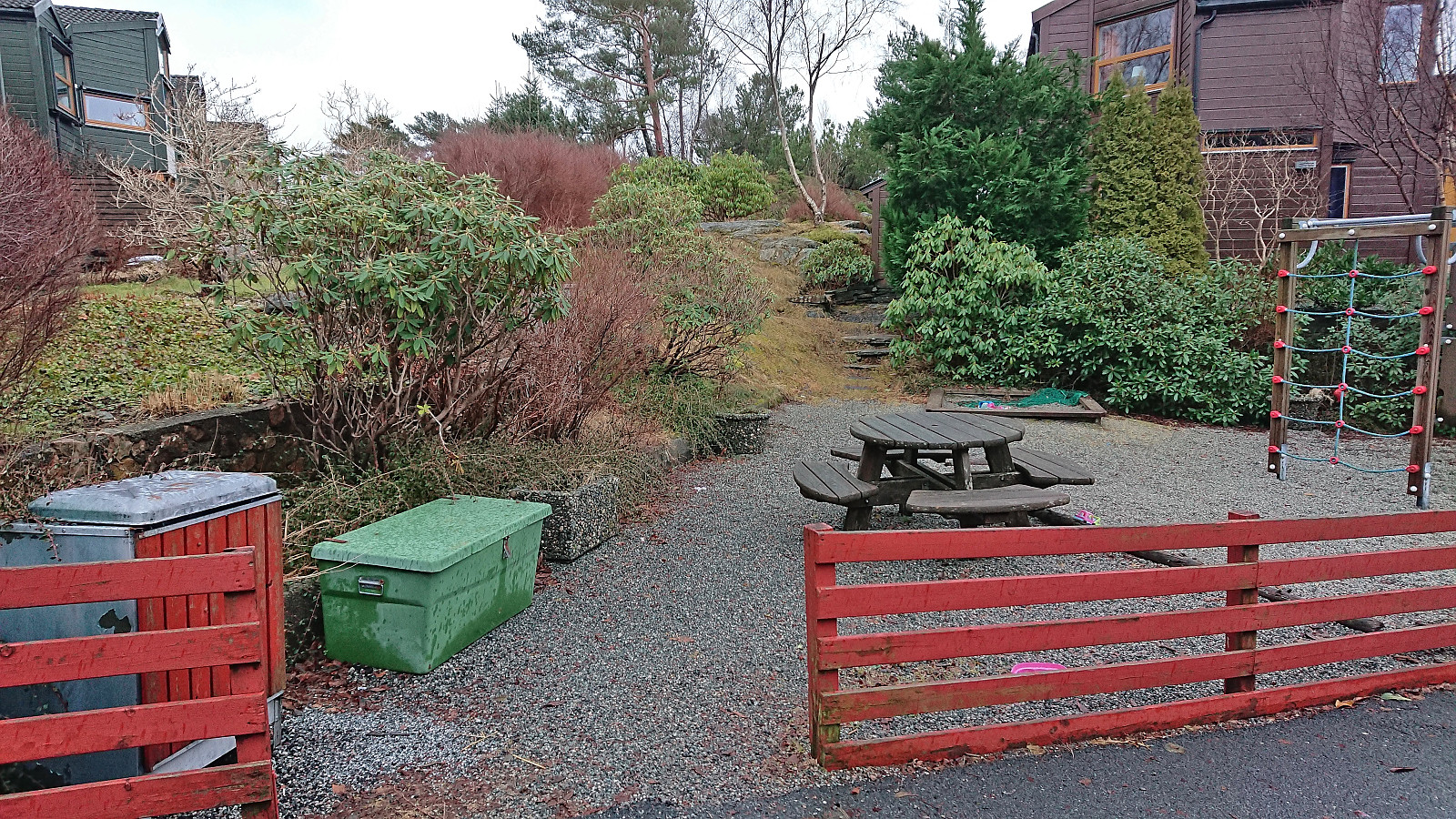
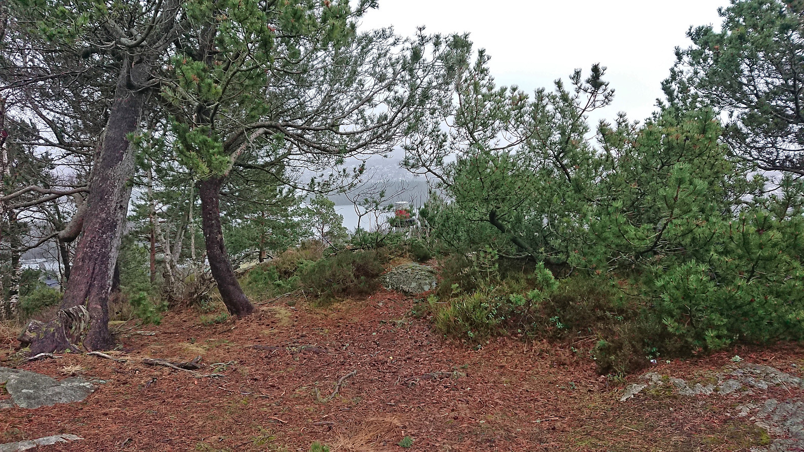
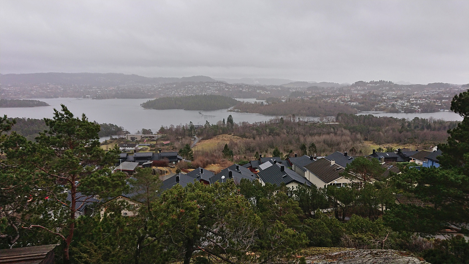
Yet another gray weekend and yet another short Saturday hike. This time to the trig marker at Bønes. I started by taking the bus to "Bønes senter" and from there completed the short walk to today's target. The trig marker was located on a small hill next to several houses but could be easily accessed from the northwest via a small playground. There was even a weak path which helped reduce the feeling of trespassing. Given that the visit of the trig marker had taken less than five minutes, I extended the hike by walking along the roads to Oasen before taking the bus home.
| Starttidspunkt | 27.01.2024 12:59 (UTC+01:00) |
| Sluttidspunkt | 27.01.2024 13:46 (UTC+01:00) |
| Totaltid | 0t 47min |
| Bevegelsestid | 0t 47min |
| Pausetid | 0t 0min |
| Snittfart totalt | 5,0km/t |
| Snittfart bevegelsestid | 5,0km/t |
| Distanse | 4,0km |
| Høydemeter | 65m |

Kommentarer