Kråkenipa from Lonevåg (09.12.2023)

| Startpunkt | Lonevåg terminal (2m) |
|---|---|
| Endpunkt | Geitrheim (26m) |
| Tourcharakter | Bergtour |
| Tourlänge | 2h 34min |
| Entfernung | 9,4km |
| Höhenmeter | 346m |
| GPS |
|
| Besteigungen | Kråkenipa (291m) | 09.12.2023 |
|---|---|---|
| Besuche anderer PBE | Nunnåsfjellet utsiktspunkt (249m) | 09.12.2023 |
Kråkenipa from Lonevåg
Ever since my initial attempt at ascending Kråkenipa was abandoned less than 100 meters from the summit due to lots of grazing horses, I knew that I at some point had to return to complete the job. A gray Saturday in December seemed like the perfect opportunity. With the hope that the cold weather and the layer of snow would ensure that the horses would be gone this time around, I therefore set off for Osterøy.
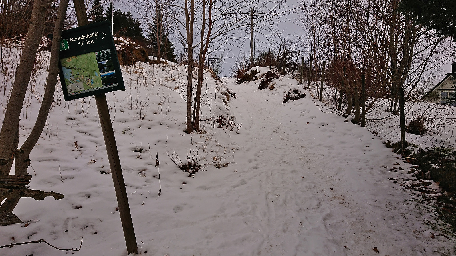
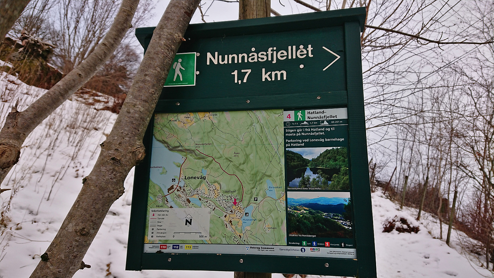
I started by taking the bus to Myrsæter and walking down to the ferry at Breistein. After a short break, the ferry arrived to take me to Valestrand, from where I hopped on a bus to Lonevåg. As soon as I got off the bus at Lonevåg, it occurred to me that I of course could have taken the bus a couple stops further, but it simply had not crossed my mind, probably as I had been so focused on getting to Lonevåg in the first place. But in any case, the short walk along the road to the marked trailhead for Nunnåsfjellet did not take long and I was finally ready to start the real hike.
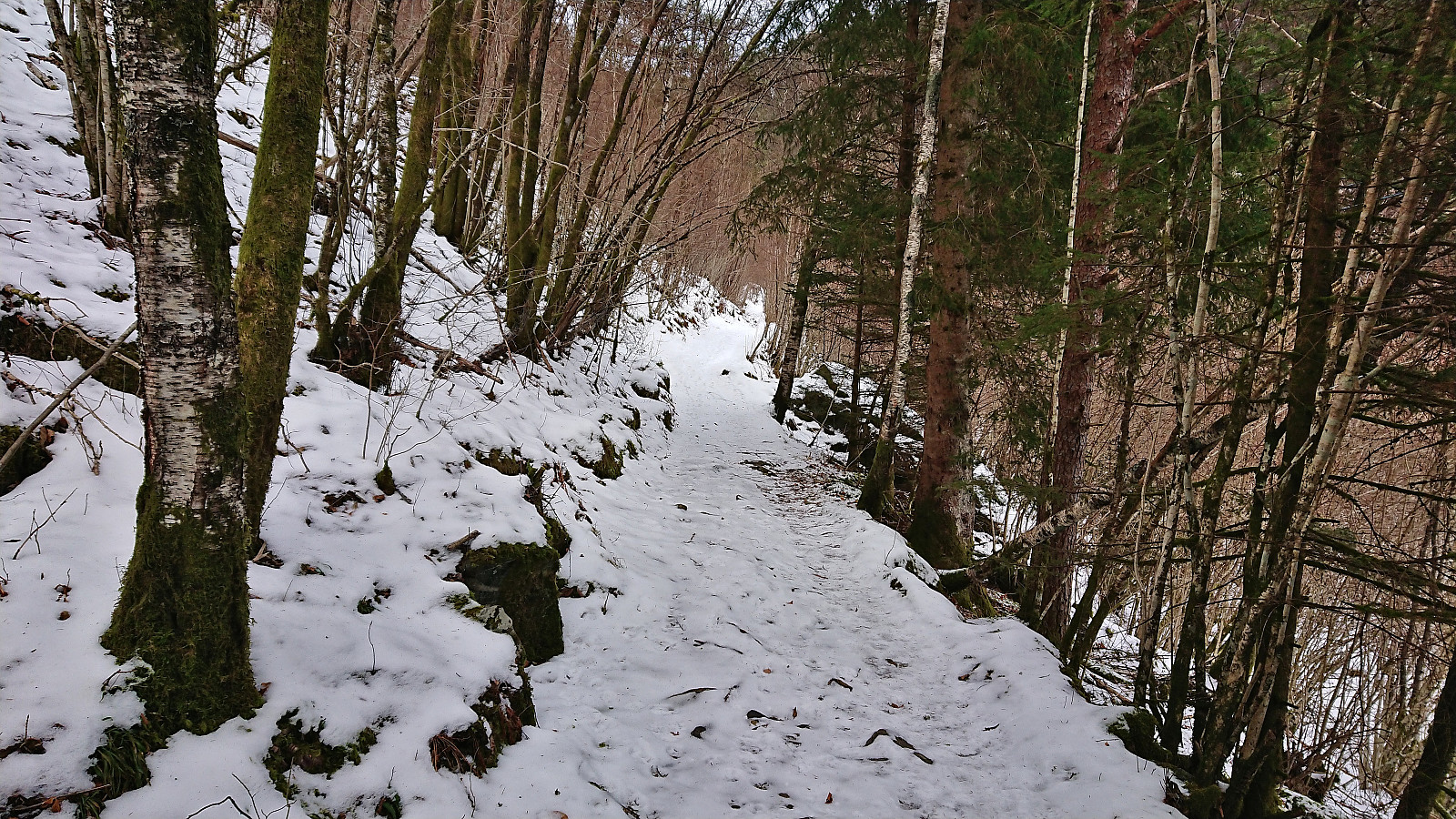
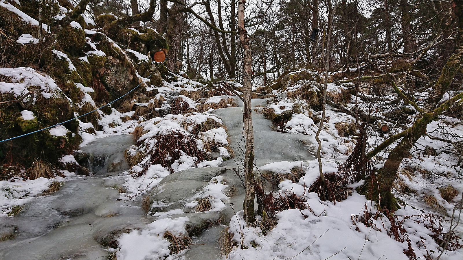
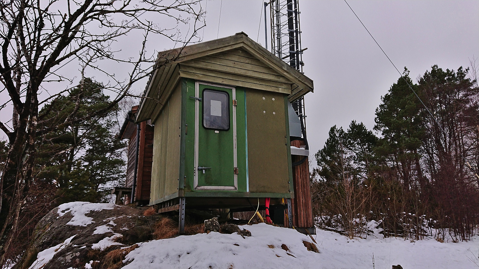
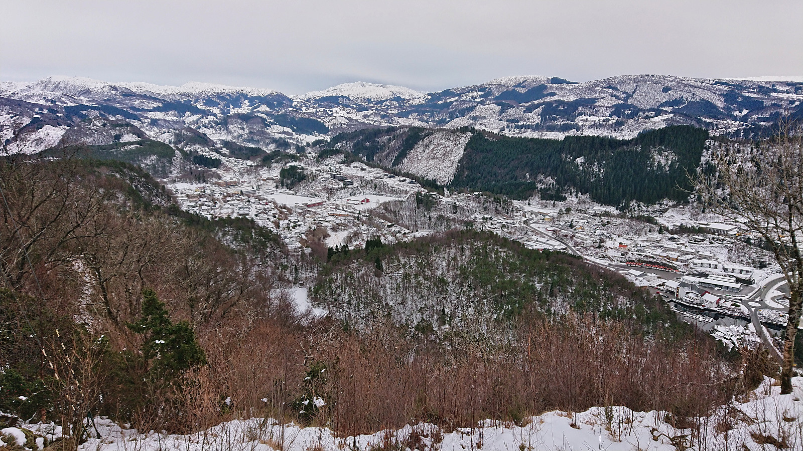
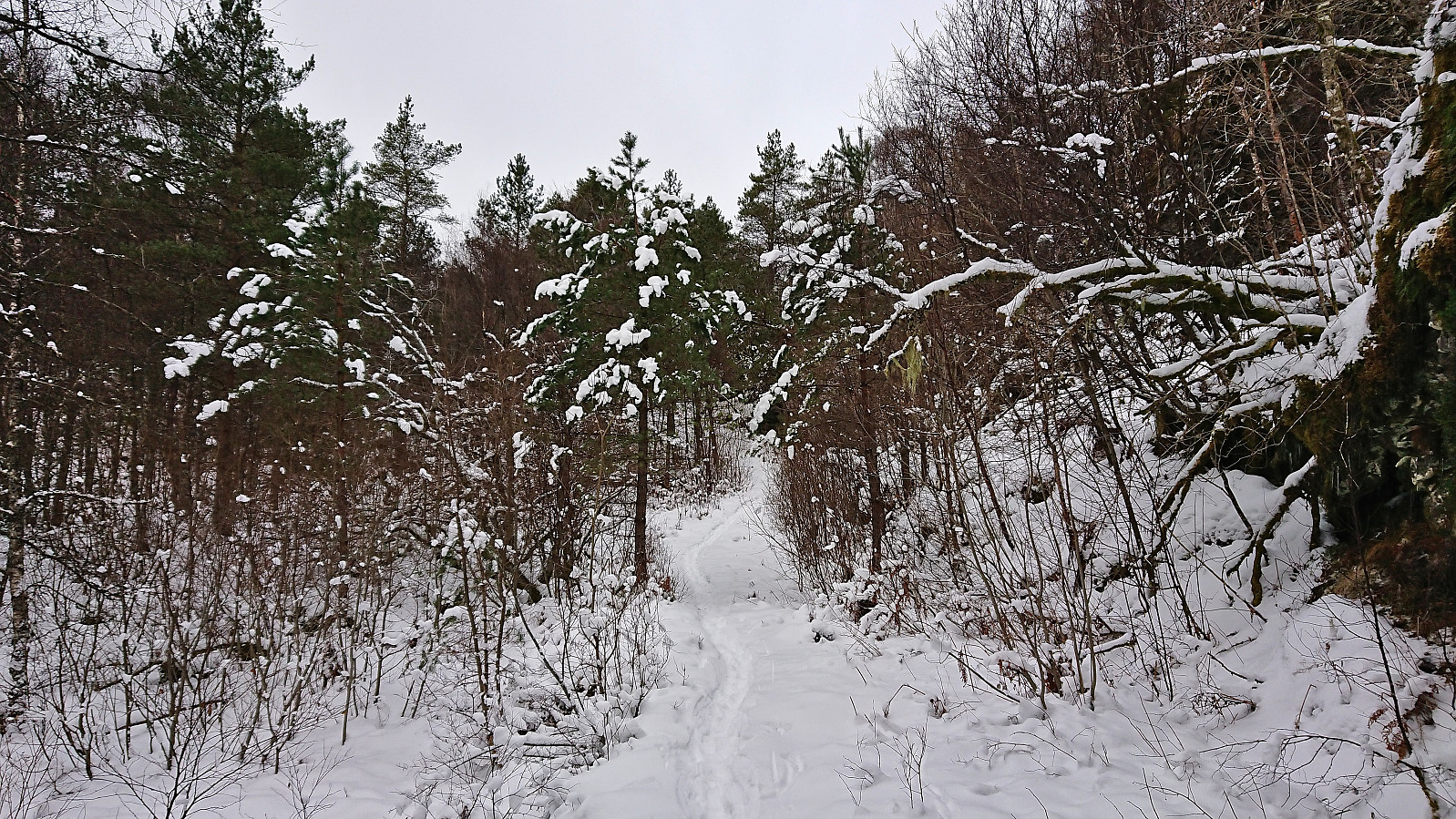
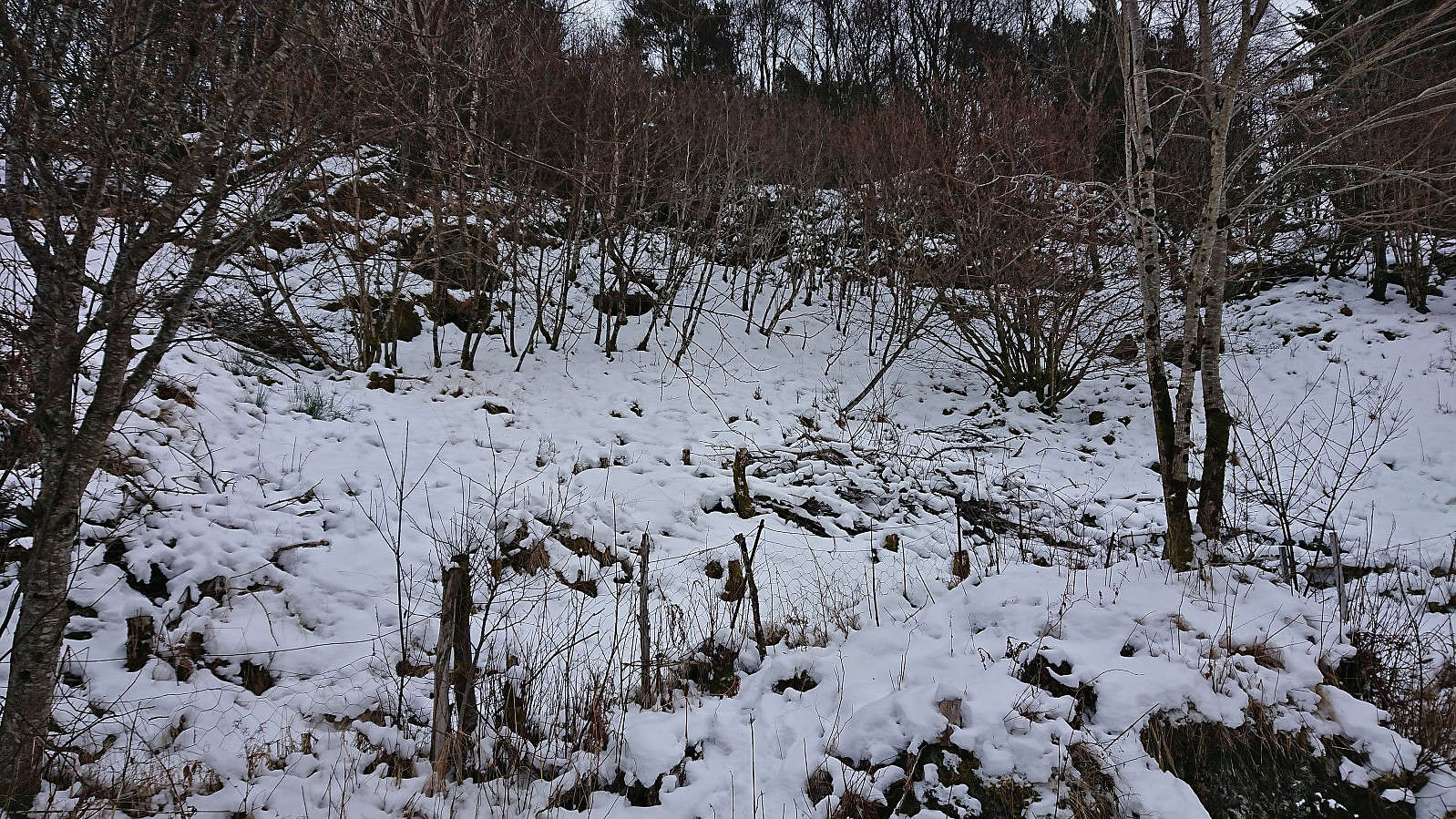
The trail to Nunnåsfjellet was covered by a combination of snow and ice, but thankfully the latter was generally easy to spot and, in most cases, easy to avoid by simply walking right next to the trail. I did not bother going via the actual summit of Nunnåsfjellet, but I did make a brief stop at the nice vantage point by the antenna. This location seemed to be the goal of most hikers, as there were much fewer footprints in the snow when I continued north to Nunnås.
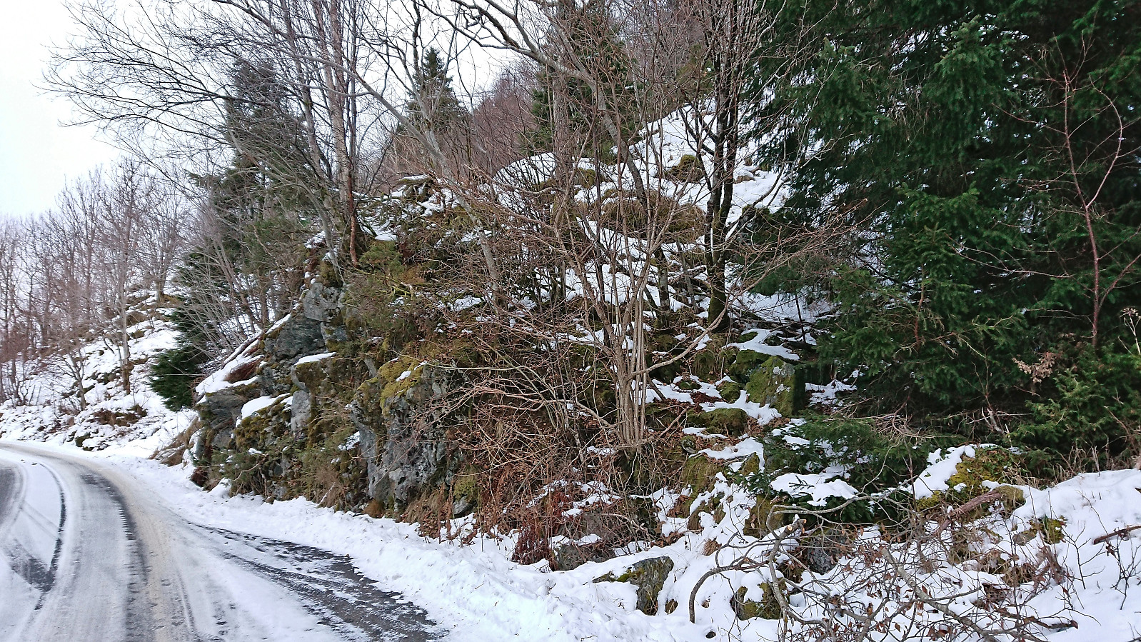
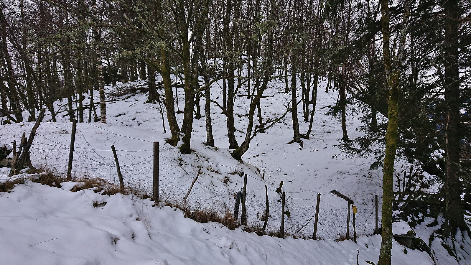
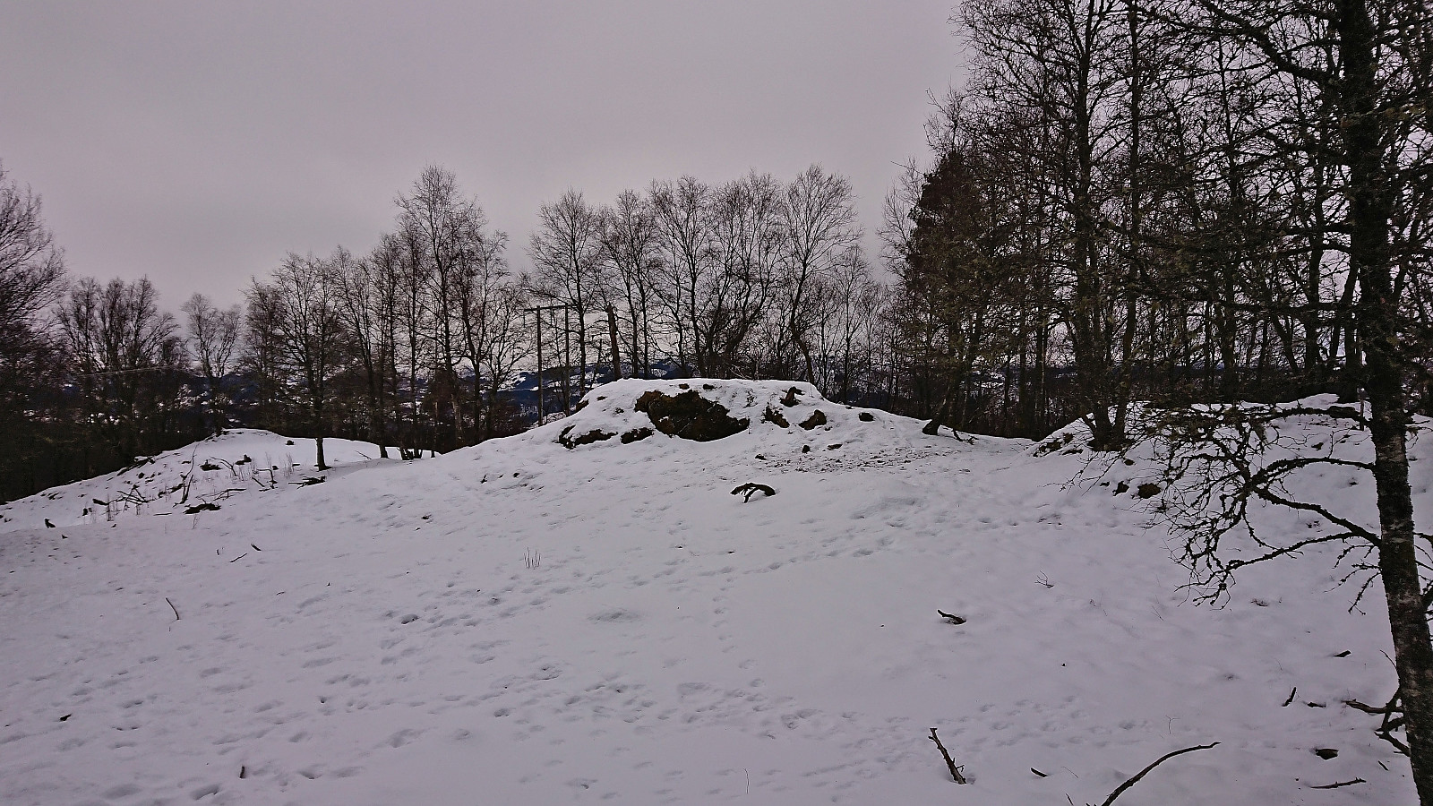
During my last attempt at reaching the summit of Kråkenipa, I had tried to ascend the small hill from the south. This had however required a bit of scrambling/climbing and I was not too eager to reuse this route. Instead, I followed the road slightly further north before heading off-trail towards the summit. This still allowed me to stay at a reasonable distance from the houses and thus reduced the feeling of trespassing.
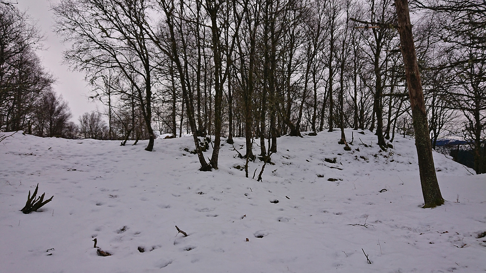
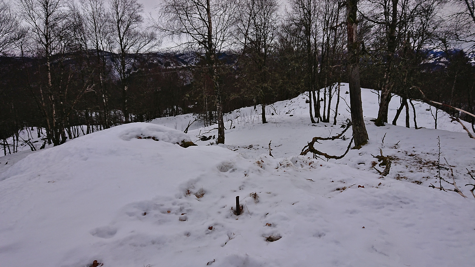
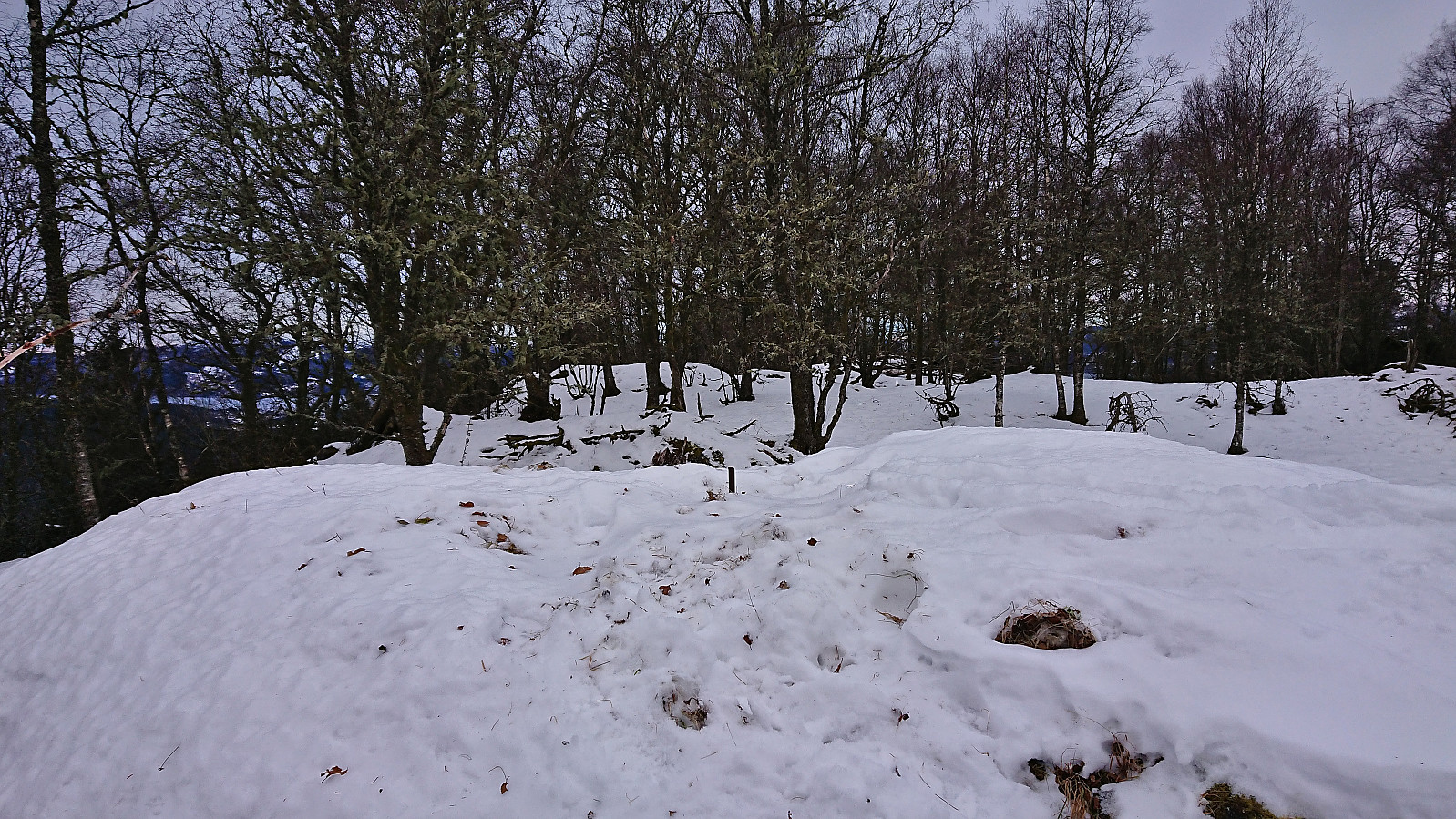
On my way to the summit I had to cross three fences, but none of these presented any challenges and it was also easy to find spots where there was no risk of damaging the fences. Equally important, it now also became clear that the horses that had stopped my last attempt were not there, and I could instead focus on locating the highest point. There were two or three to choose from, hence I simply visited all of them before descending more or less the same way.
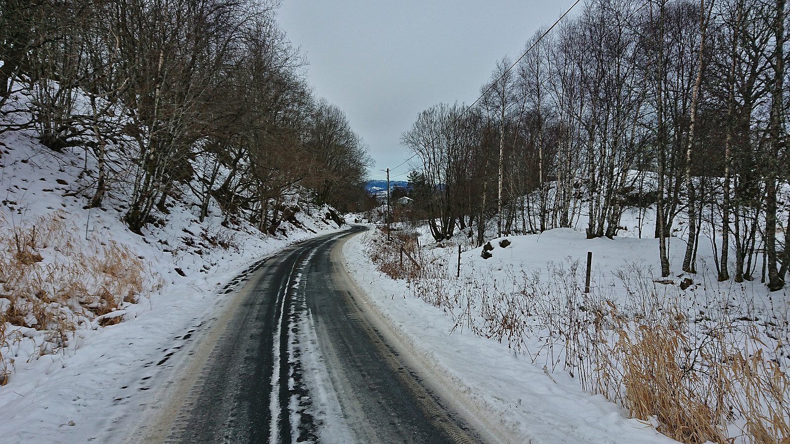
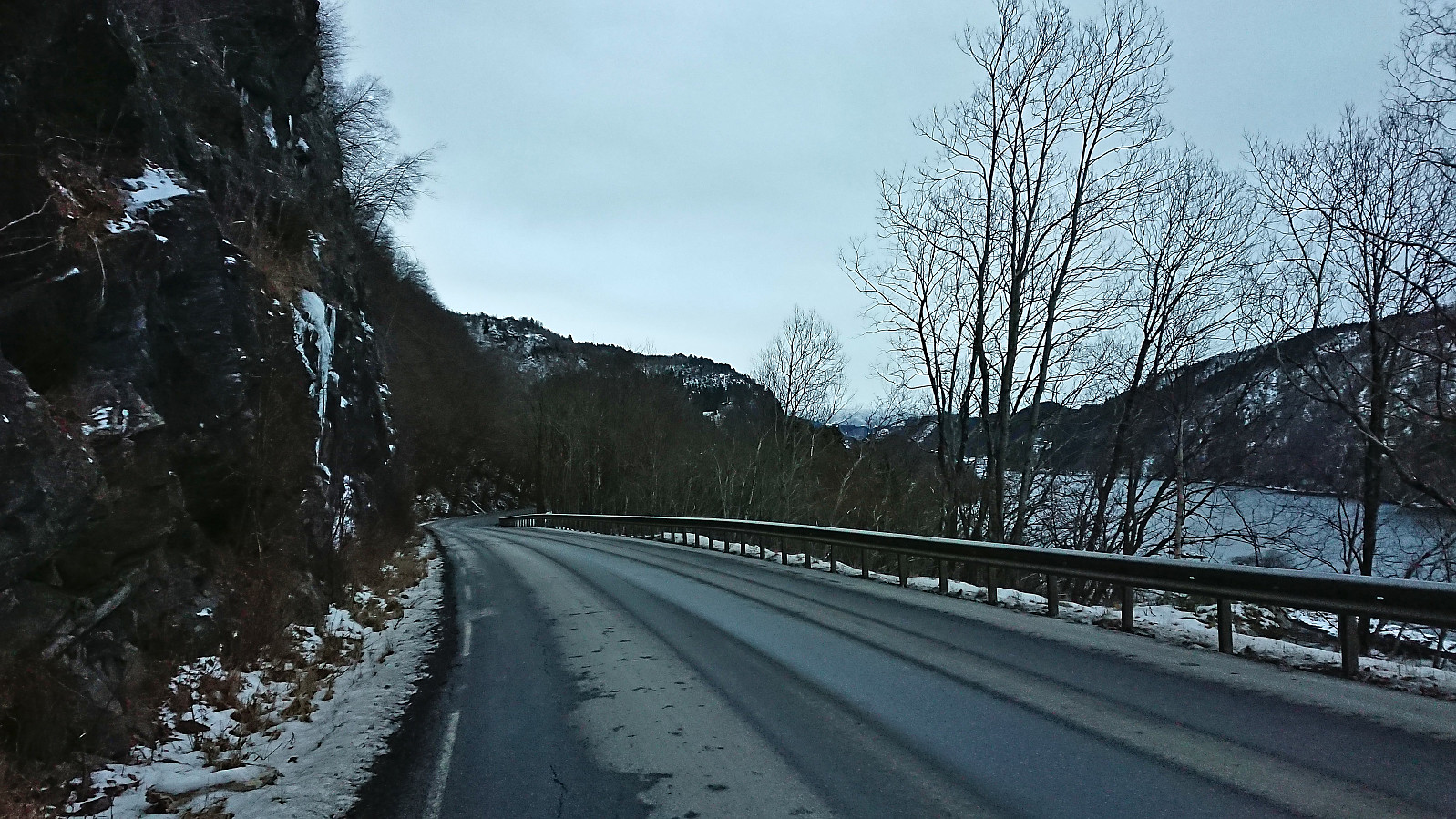
My original plan had been to return to Lonevåg, but in order to try something new, I instead decided to continue north along the road until connecting with the main road. Here there was a bus stop, but given that I was almost one hour early for the bus I followed the main road south in the direction of Lonevåg. In the growing darkness this was clearly the least enjoyable part of the hike, but at least it gave me the opportunity to try out the high visibility vest that I always include in my backpack but had never had the occasion to use until now. I made it to Geitrheim (the last bus stop before the tunnel that I in any case could not have walked through) before taking a break at the bus stop and waiting around 20 minutes for the bus to Valestrand. After a much shorter break at Valestrand, all that remained was then the ferry to Breistein and the bus back home.
To conclude, Kråkenipa is clearly one of those summits that only peakbaggers will see any need to visit. If done at the right time of the year, i.e. when the horses are not there, it can however be visited without too much trouble. And at least I made it all the way to the summit this time around and can finally put this one in the "been there, done that, not coming back" category. :)
| Startzeitpunkt | 09.12.2023 13:13 (UTC+01:00) |
| Endzeitpunkt | 09.12.2023 15:46 (UTC+01:00) |
| Gesamtzeit | 2h 34min |
| Zeit in Bewegung | 2h 21min |
| Pausenzeit | 0h 12min |
| Gesamtschnitt | 3,7km/h |
| Bewegungsschnitt | 4,0km/h |
| Entfernung | 9,4km |
| Höhenmeter | 346m |

Benutzerkommentare