Kvamsnova from Furnestreet (11.11.2023)

| Startsted | Furnestreet/Fornestræet (14moh) |
|---|---|
| Sluttsted | Furnestreet/Fornestræet (14moh) |
| Turtype | Fjelltur |
| Turlengde | 5t 09min |
| Distanse | 8,6km |
| Høydemeter | 932m |
| GPS |
|
| Bestigninger | Kvamsnova (850moh) | 11.11.2023 |
|---|---|---|
| Andre besøkte PBE'er | Furnesstølen (531moh) | 11.11.2023 |
Kvamsnova from Furnestreet
Most people visiting Kvamsnova (also referred to as Kvamsnovi) seem do so as an extended detour when visiting Store Dustingen/Dystingen. This route however did not look too appealing and I was therefore more eager follow in elbow (Vegard Magnussen)'s footsteps based on his trip report indicating an easier route from Furnestreet (or Fornestræet as it is now written on the map). The only issue was that getting to Furnestreet (and back home afterwards) by public transport is not straightforward (requires first taking the train to Bolstadøyri, waiting half an hour at the station, and then taking the bus to Furnestreet). I was therefore very happy when Kjell showed an interest in joining and we could travel by car.
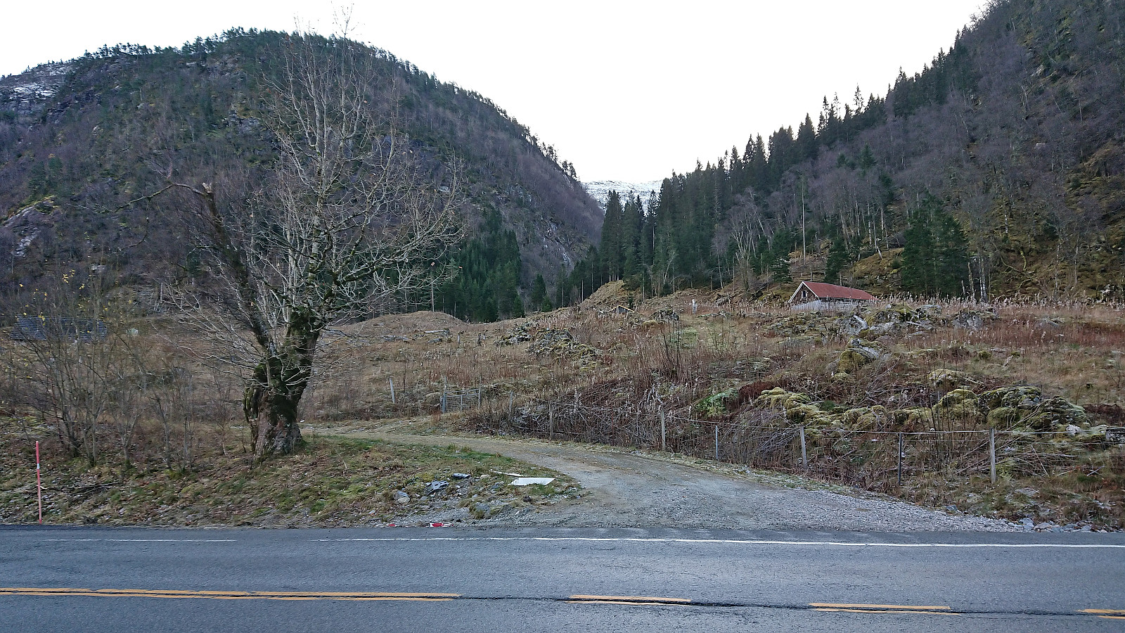
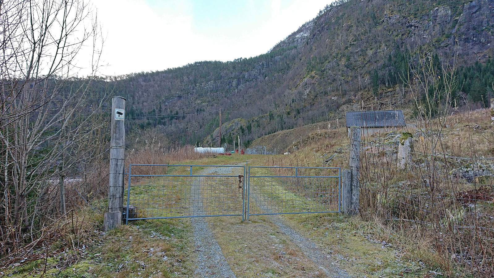
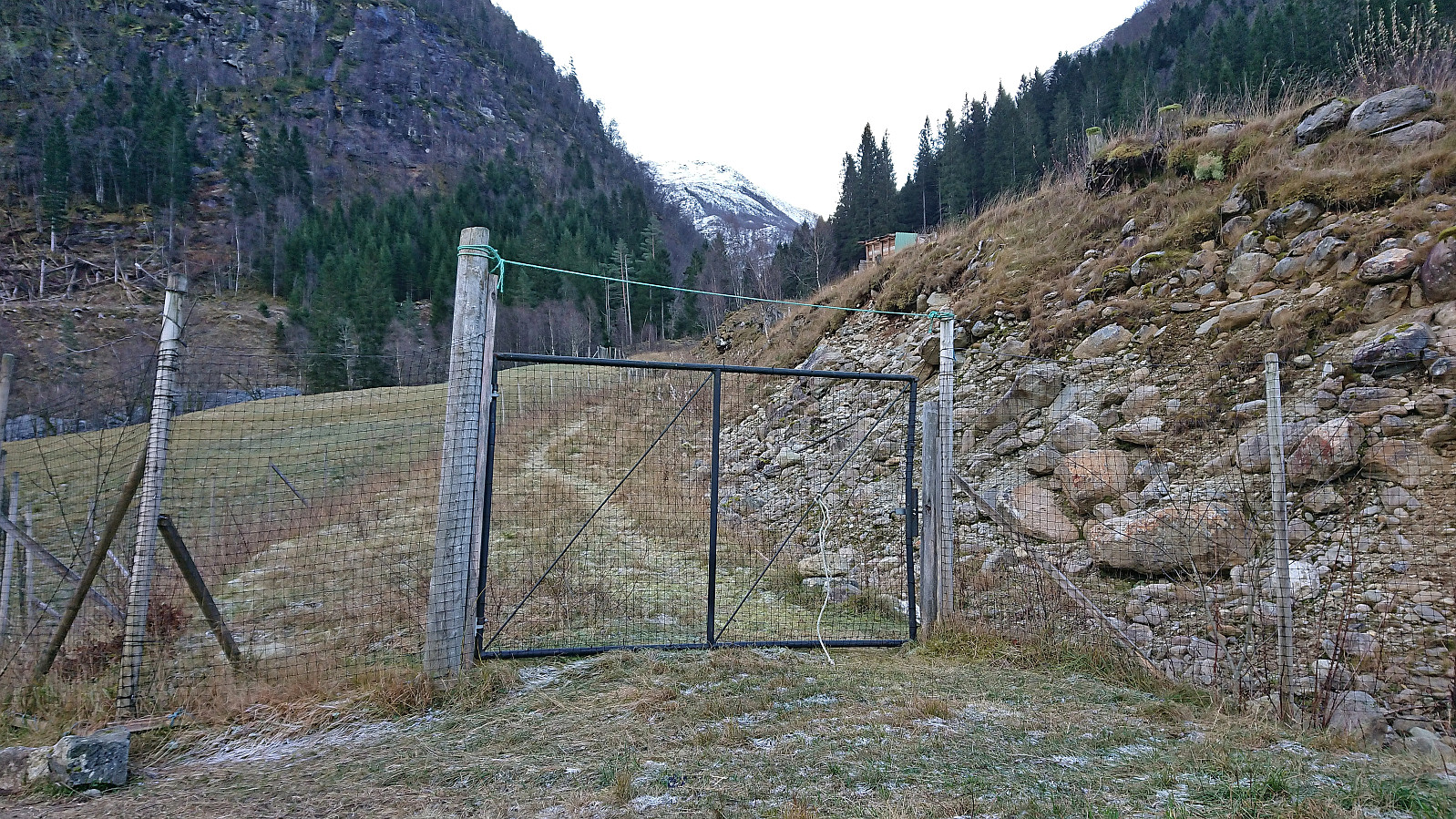
After leaving the car at the parking lot along the fjord (now partly occupied by the company working on Dalseidtunnelen), we crossed the main road and continued east along a sideroad. But after less than 50 meters we got to a gate with a warning sign that the area was under video surveillance. We therefore turned back and instead tried an alternative tractor road which, according to the map, should later reconnect with the first road.
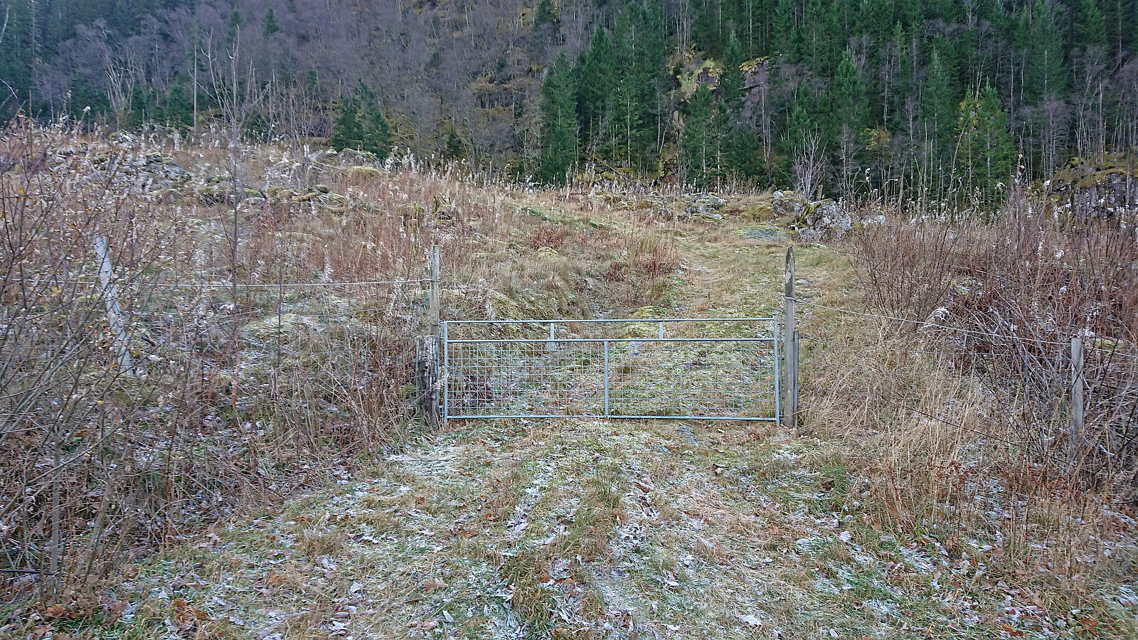
Our progress was again quickly stopped, this time by a tall fence meant to keep the deer out, although it did an equally good job at not allowing us to leave. We therefore had no choice but to turn back and head for the buildings on the other side of the gate with the video surveillance sign. There was no need to go all the way back though, instead we could follow a trail road that took us around the buildings and towards a third gate. Through this gate we were able to get to the other side of the tall fence and could finally start the real hike.
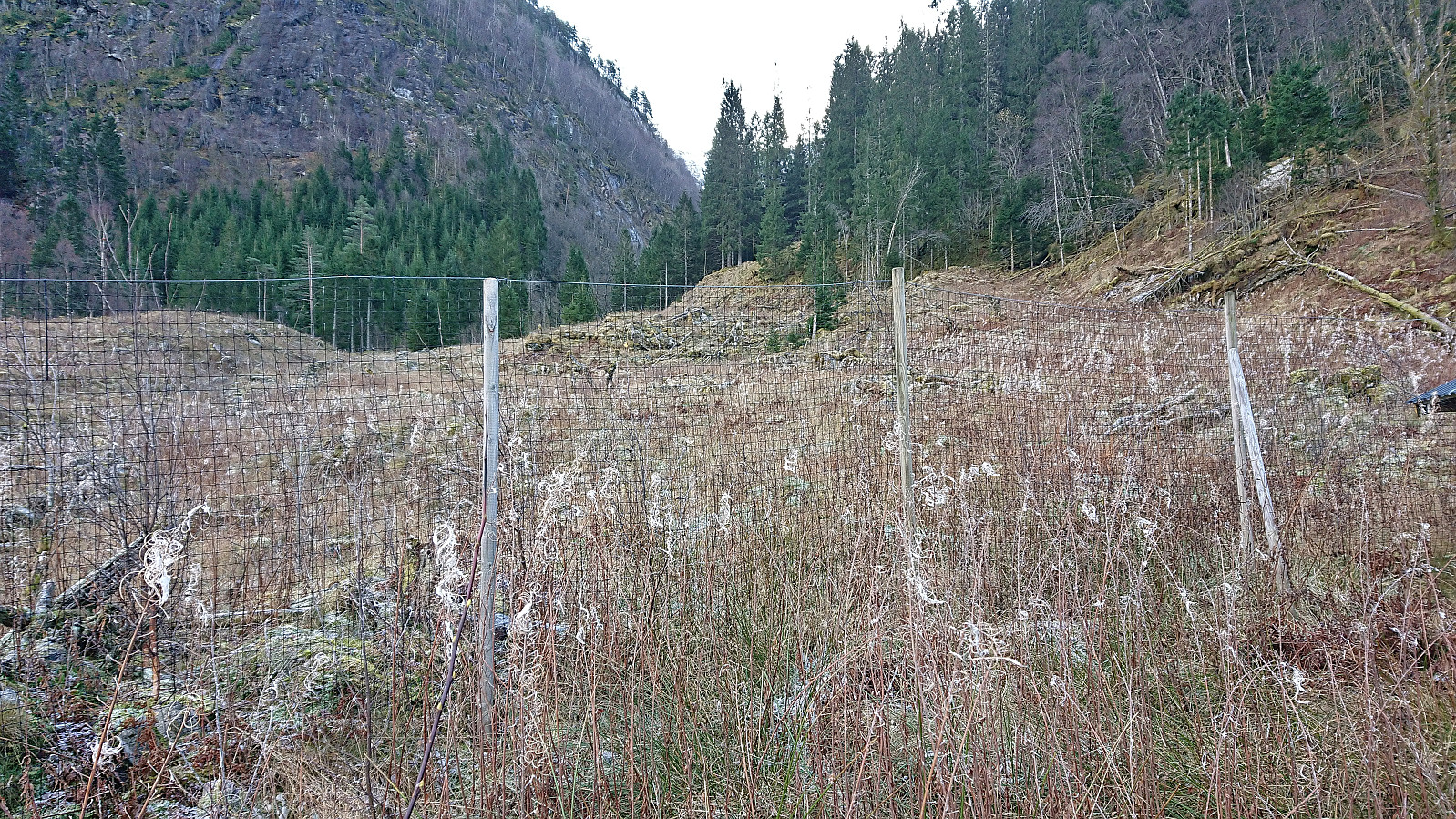
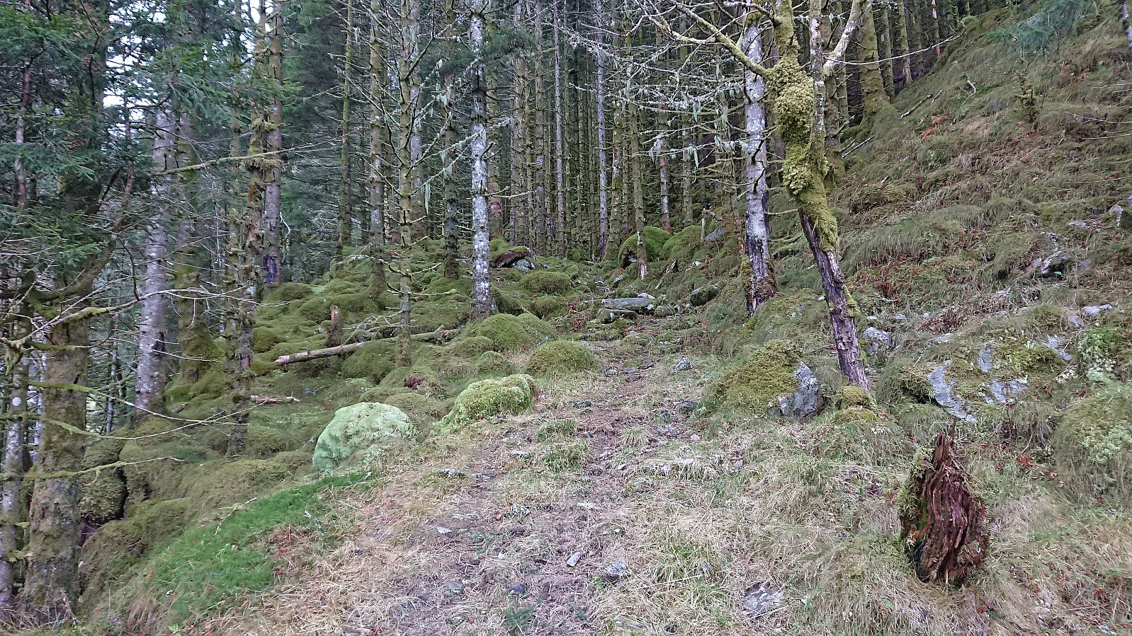
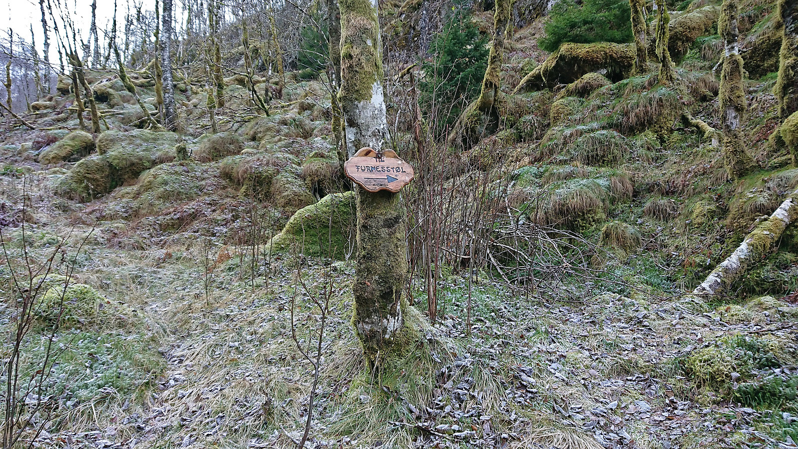
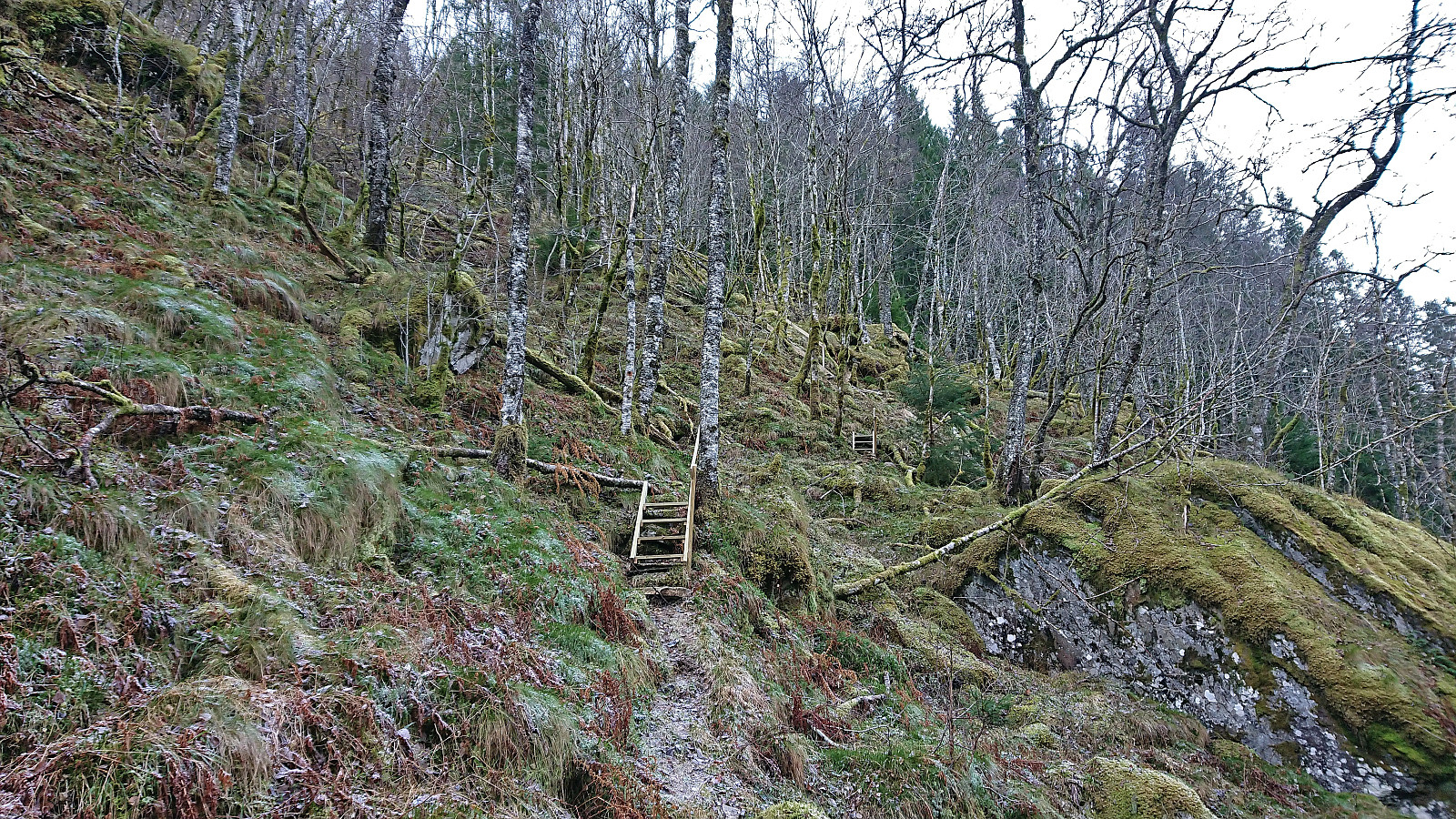
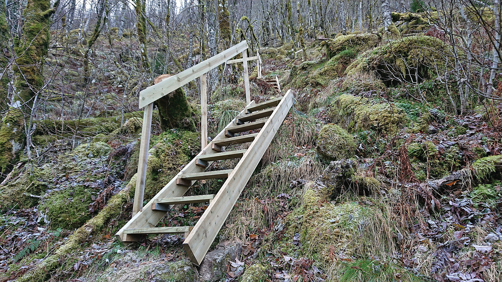
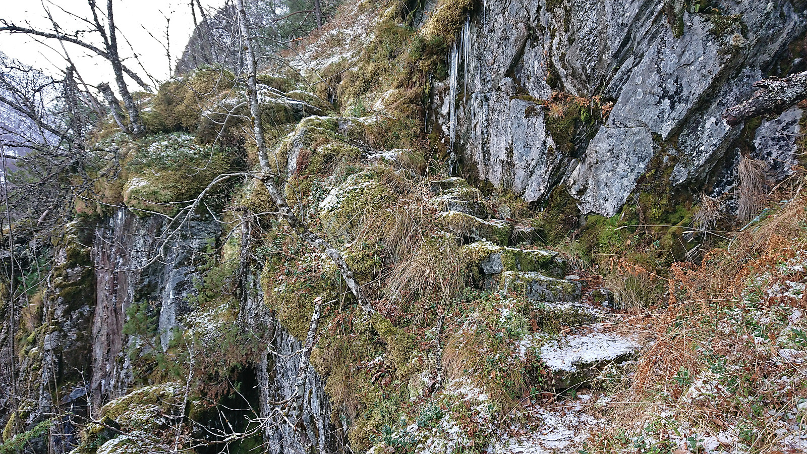
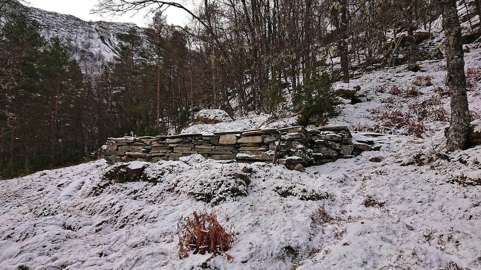
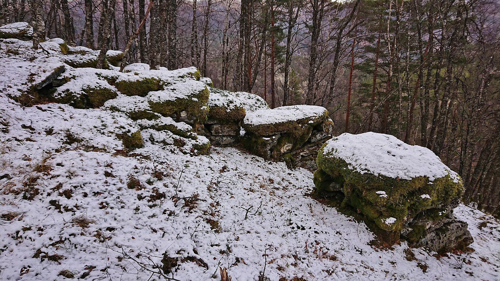
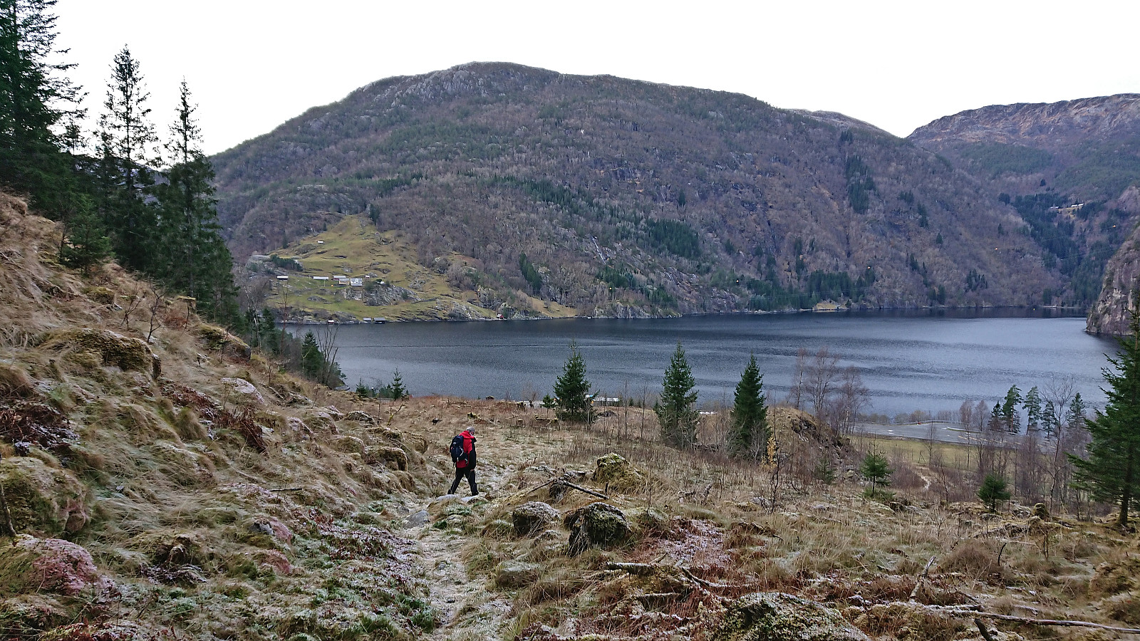
We first followed a tractor road southeast that shortly turned into an old trail along the river. After only a couple of hundred meters along this trail we arrived at a sign for Furnesstøl. Here the trail also turned almost 90 degrees to our right and got significantly steeper. The trail was however well maintained, with recent removals of fallen trees and several seemingly quite new wooden staircases. Further up the wooden staircases were replaced by much older stone steps leading the way to the old brick foundation walls of Furnesstølen.
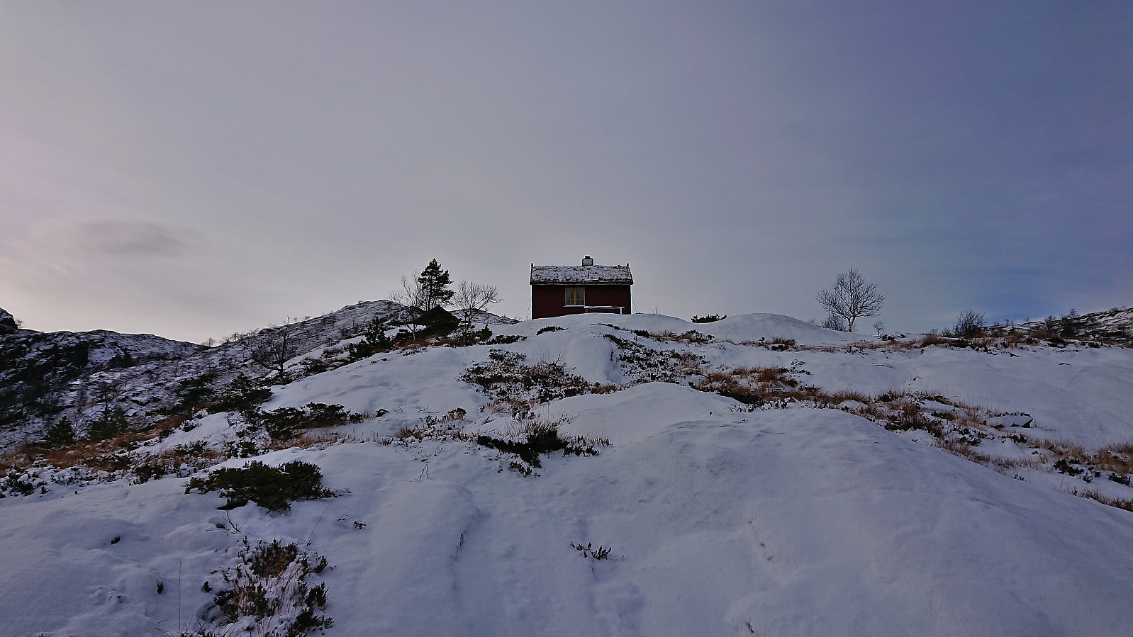
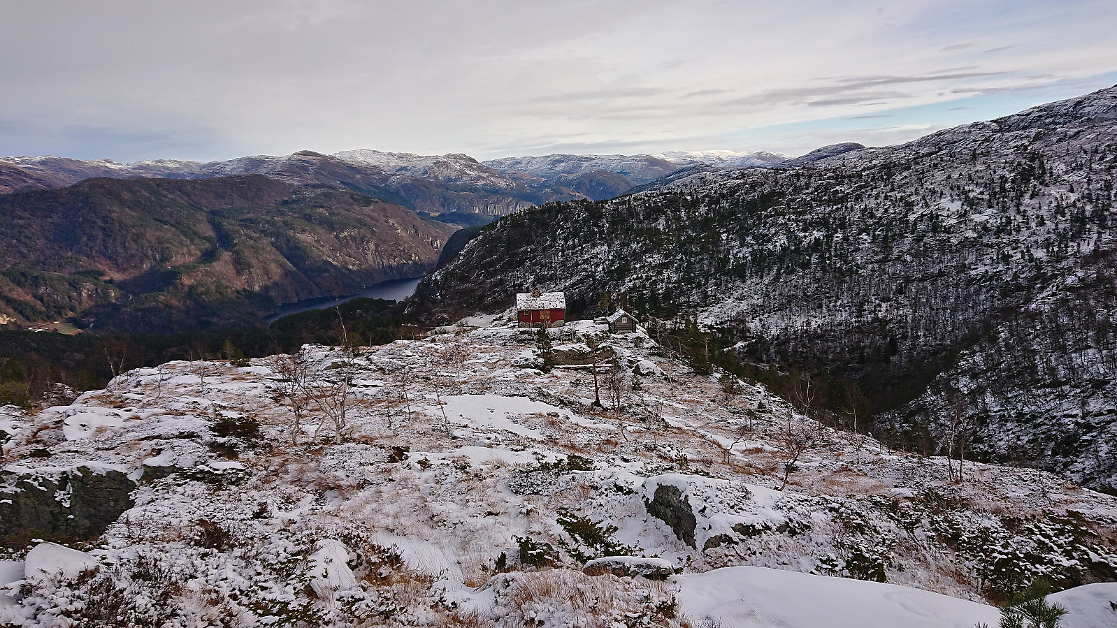
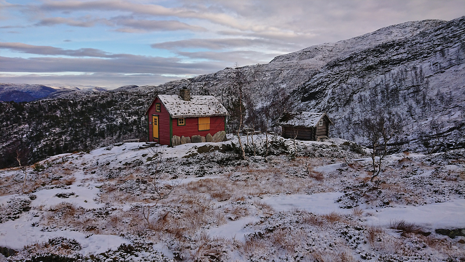
After passing the old Furnesstøl the trail got weaker, partly as it was now hidden underneath a thin layer of snow, however suddenly there was a set of footprints that we could follow instead and it did not take long before we arrived at a relatively new cabin that it perhaps what the locals now refer to as Furnesstølen?
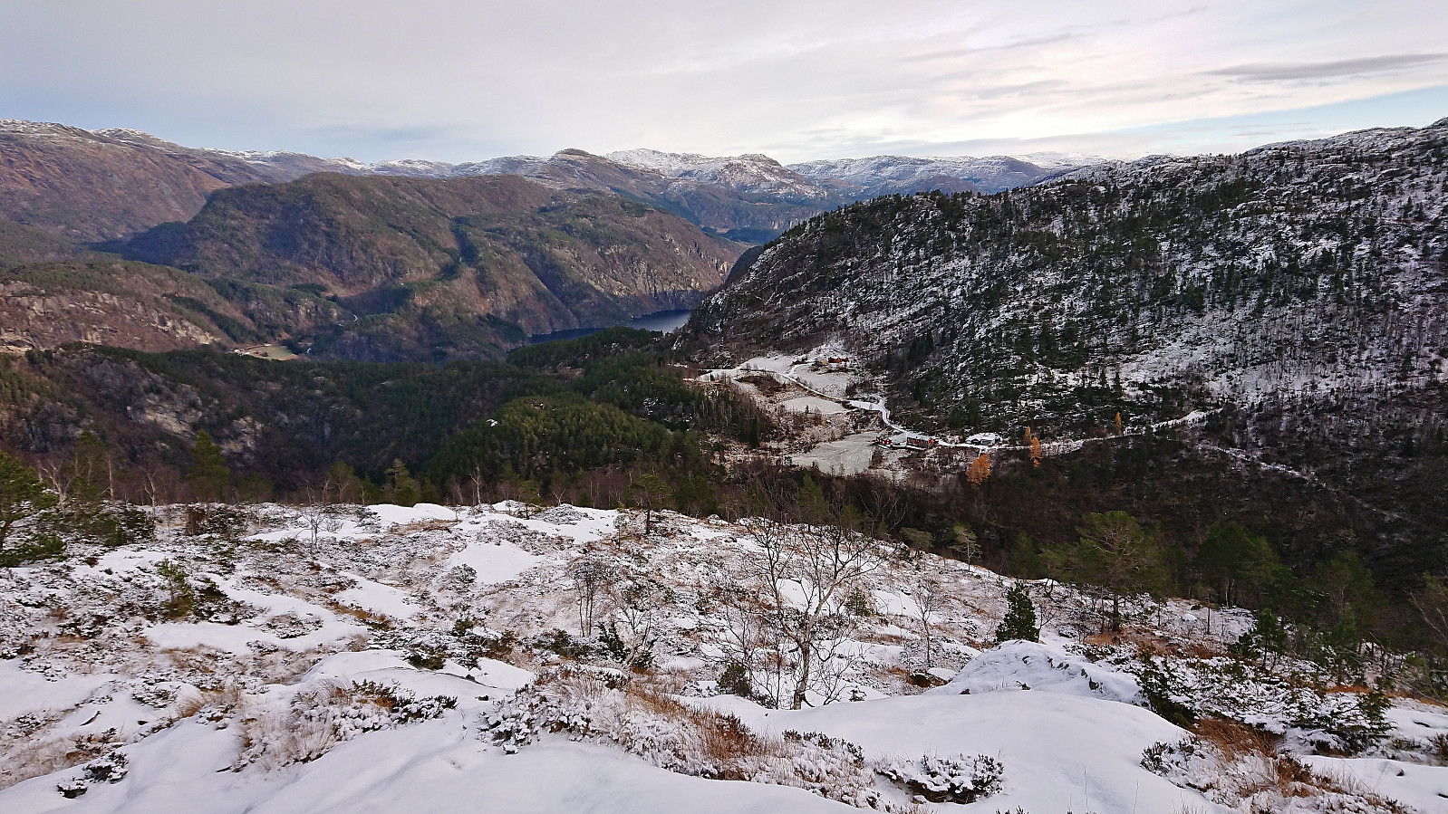
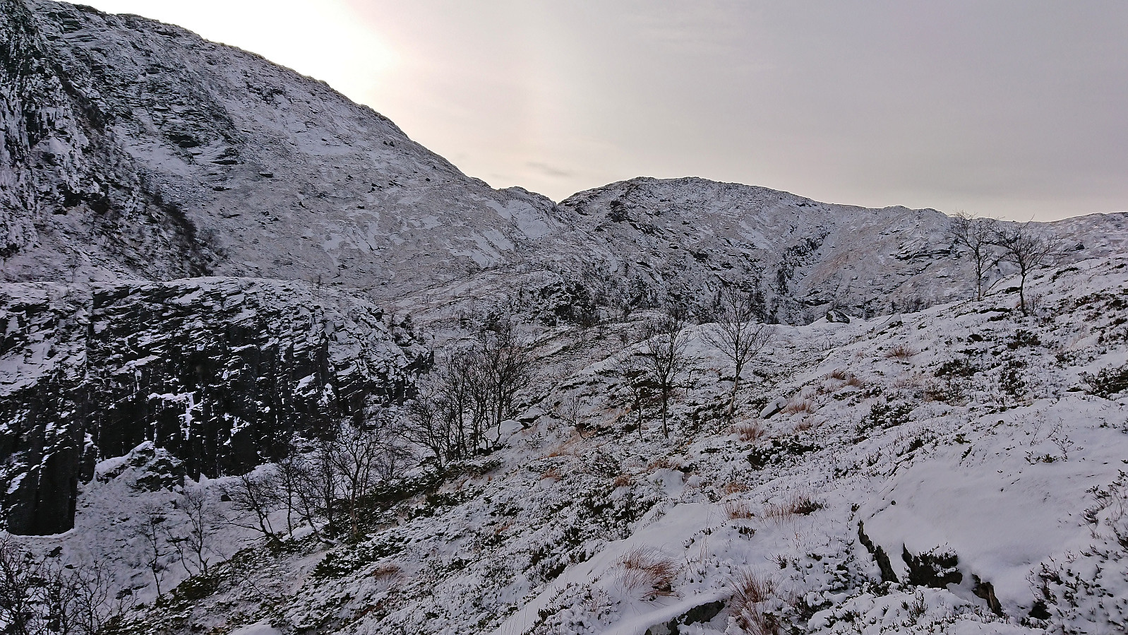
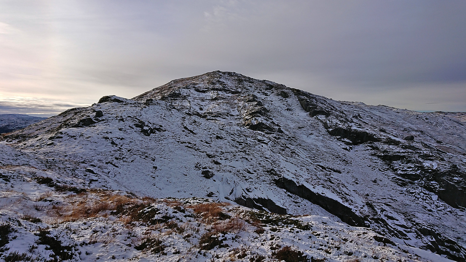
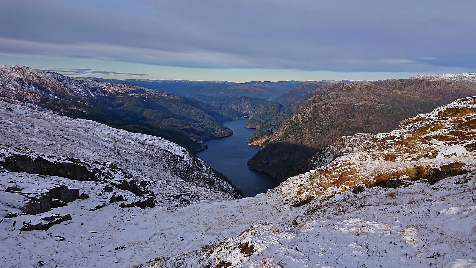
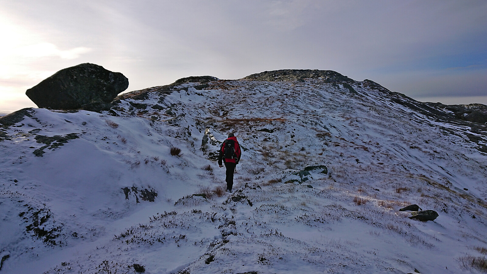
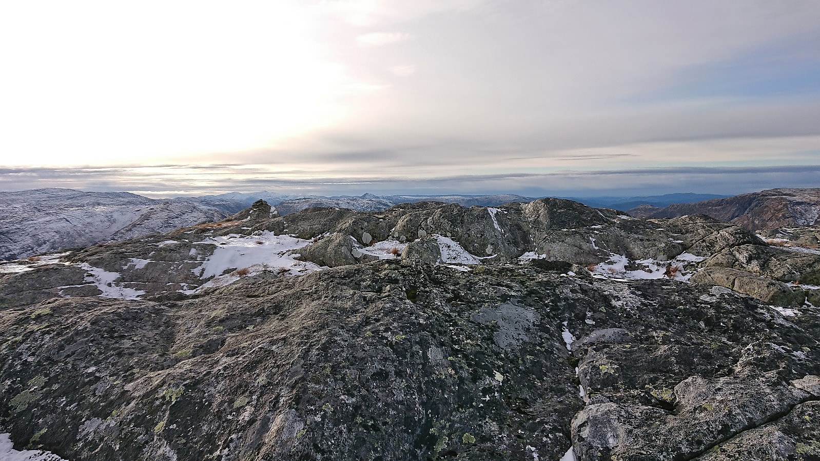
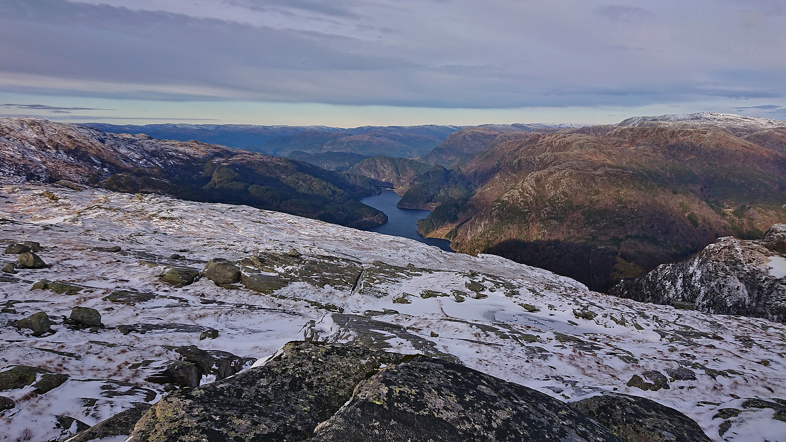
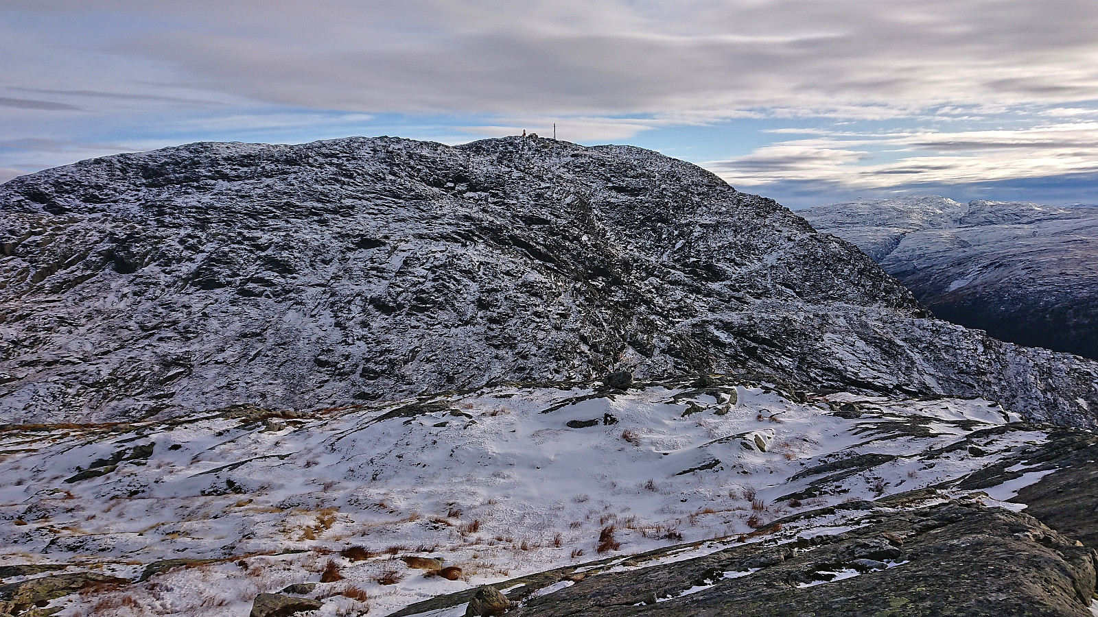
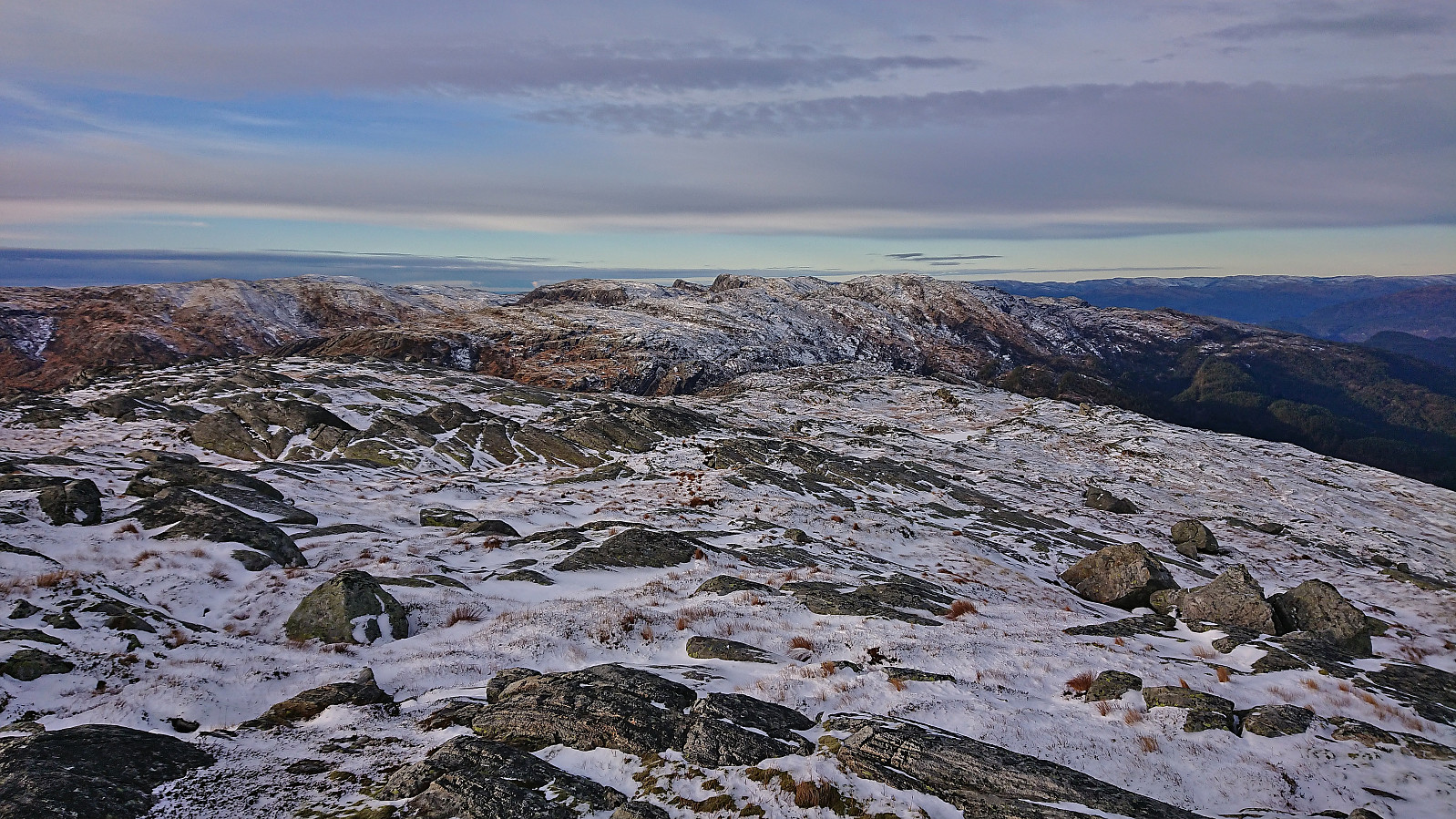
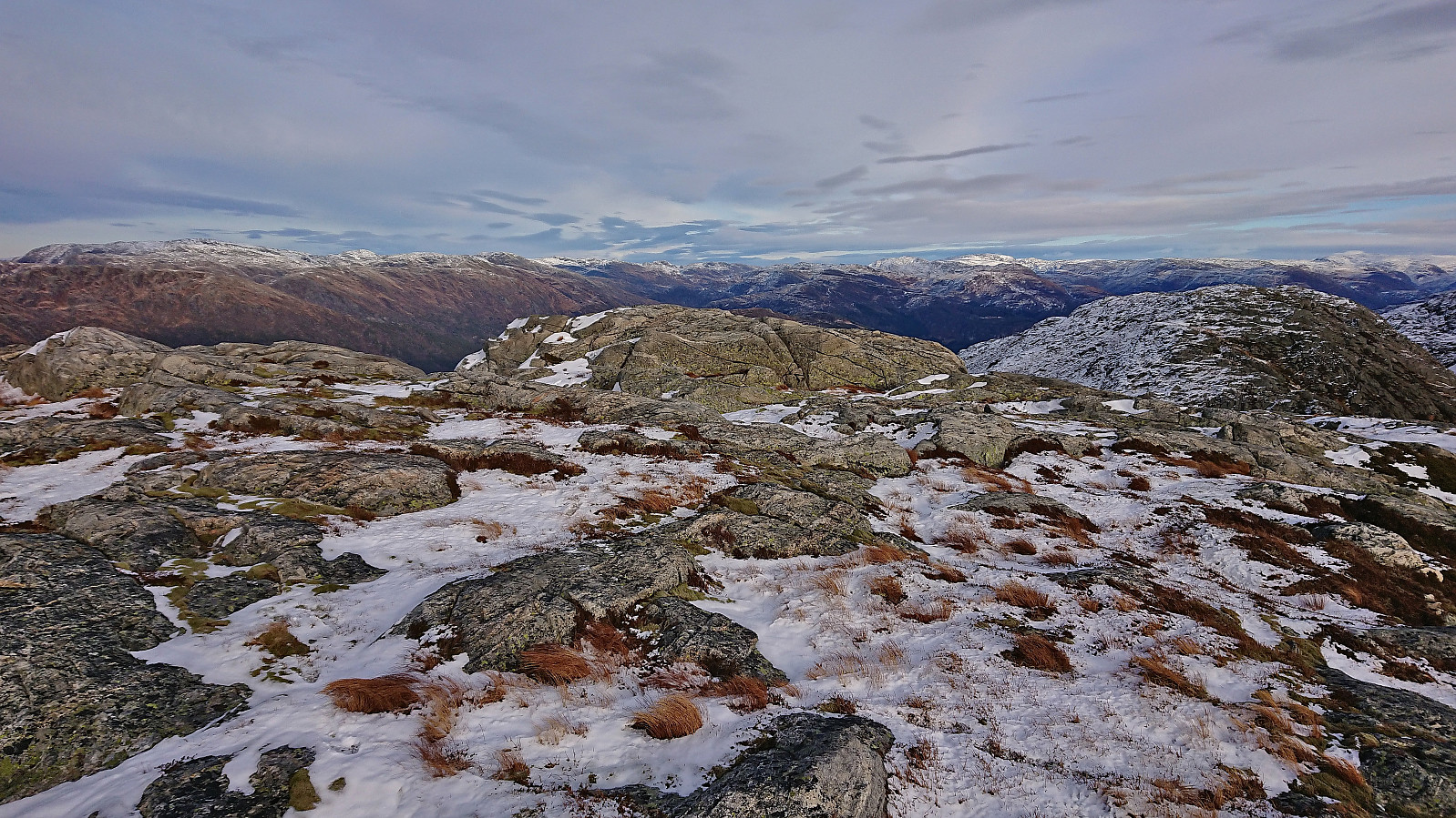
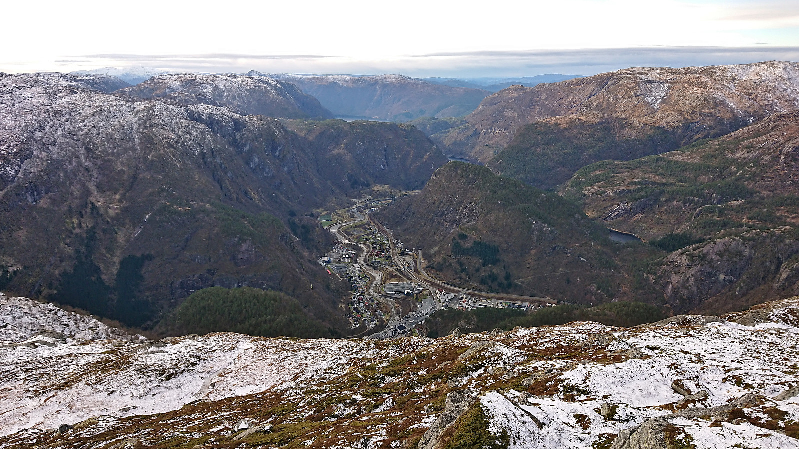
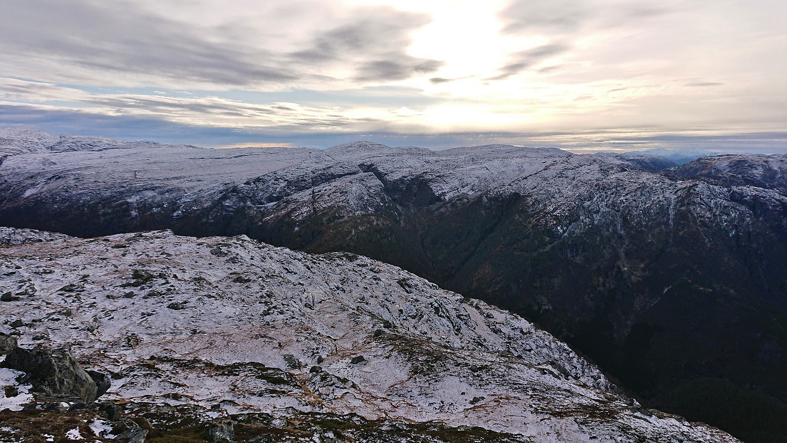
The mentioned footprints continued north of the cabin but soon disappeared and from there on we were left to finding our own way towards the summit. Our route was however now pretty obvious and did not present any real challenges, except the occasional ice hidden underneath the snow. The summit provided great views, most notably north along Bolstadfjorden to Straume. In order to also look down at Dale I made a short detour west of the summit before returning to Kjell waiting for me at the summit. We then descended together along the same route as for the ascent, taking a short lunch break outside the above-mentioned cabin.
To conclude, this route to Kvamsnova is an excellent alternative to the potentially challenging detour from Store Dustingen/Dystingen and can be highly recommended. (Just as long as you manage to traverse the gates and fences at the very start of the hike.)
Takk for turen, Kjell!
| Starttidspunkt | 11.11.2023 10:00 (UTC+01:00) |
| Sluttidspunkt | 11.11.2023 15:09 (UTC+01:00) |
| Totaltid | 5t 09min |
| Bevegelsestid | 4t 03min |
| Pausetid | 1t 05min |
| Snittfart totalt | 1,7km/t |
| Snittfart bevegelsestid | 2,1km/t |
| Distanse | 8,6km |
| Høydemeter | 931m |

Kommentarer