Tempelet, Håvegen søyle and Ljosvollsvarden (29.10.2023)

| Startsted | Kaland (58moh) |
|---|---|
| Sluttsted | Lilletvedt/Litleveiten (85moh) |
| Turtype | Fjelltur |
| Turlengde | 3t 07min |
| Distanse | 9,8km |
| Høydemeter | 395m |
| GPS |
|
| Bestigninger | Ljosvollsvarden (301moh) | 29.10.2023 |
|---|---|---|
| Tempelet (123moh) | 29.10.2023 | |
| Andre besøkte PBE'er | Håvegen søyle (173moh) | 29.10.2023 |
| Øvre Sandven søyle (286moh) | 29.10.2023 |
Tempelet, Håvegen søyle and Ljosvollsvarden
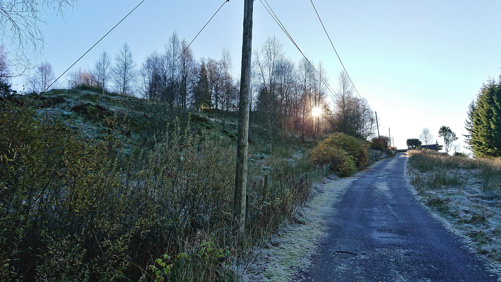
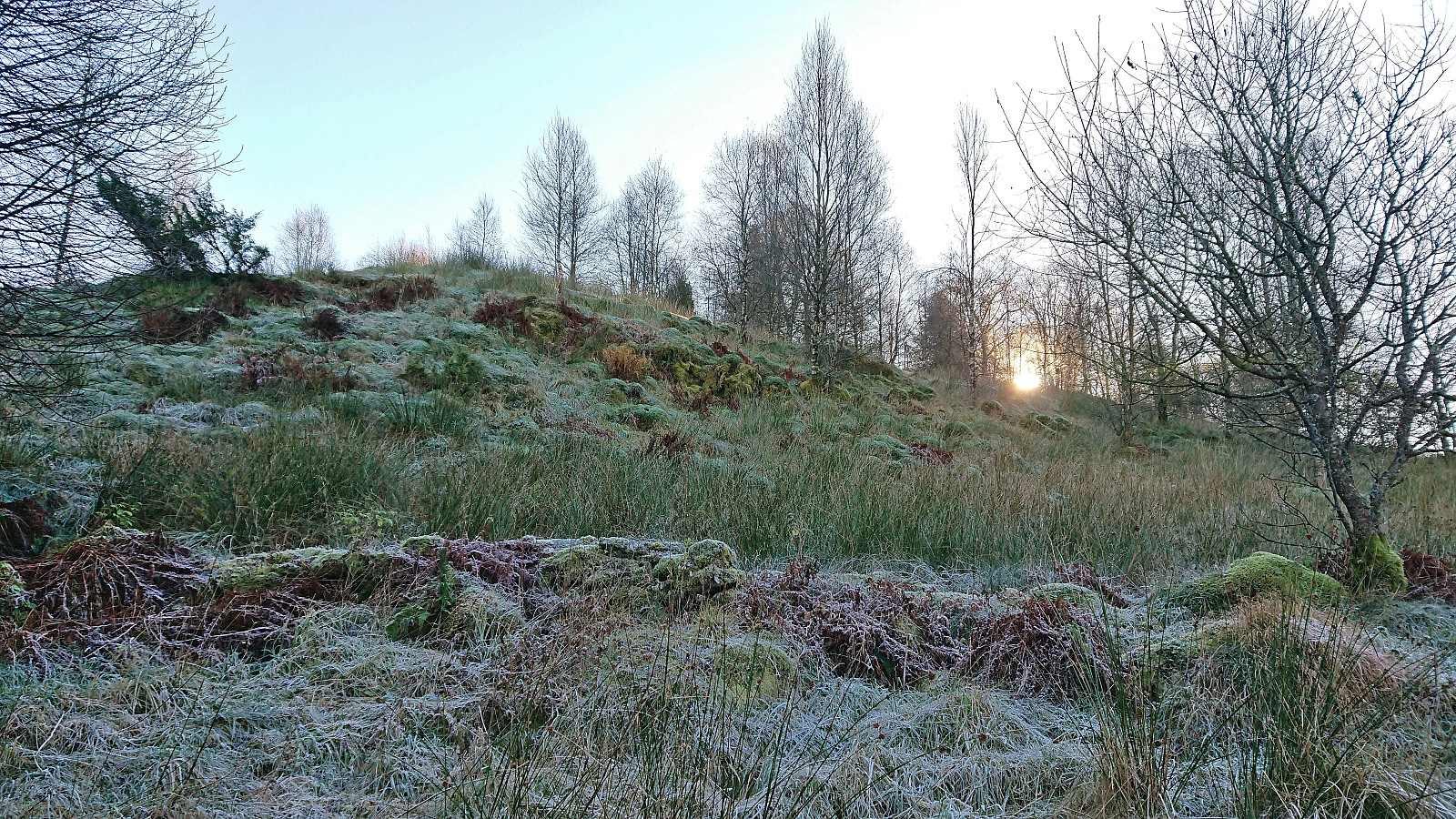
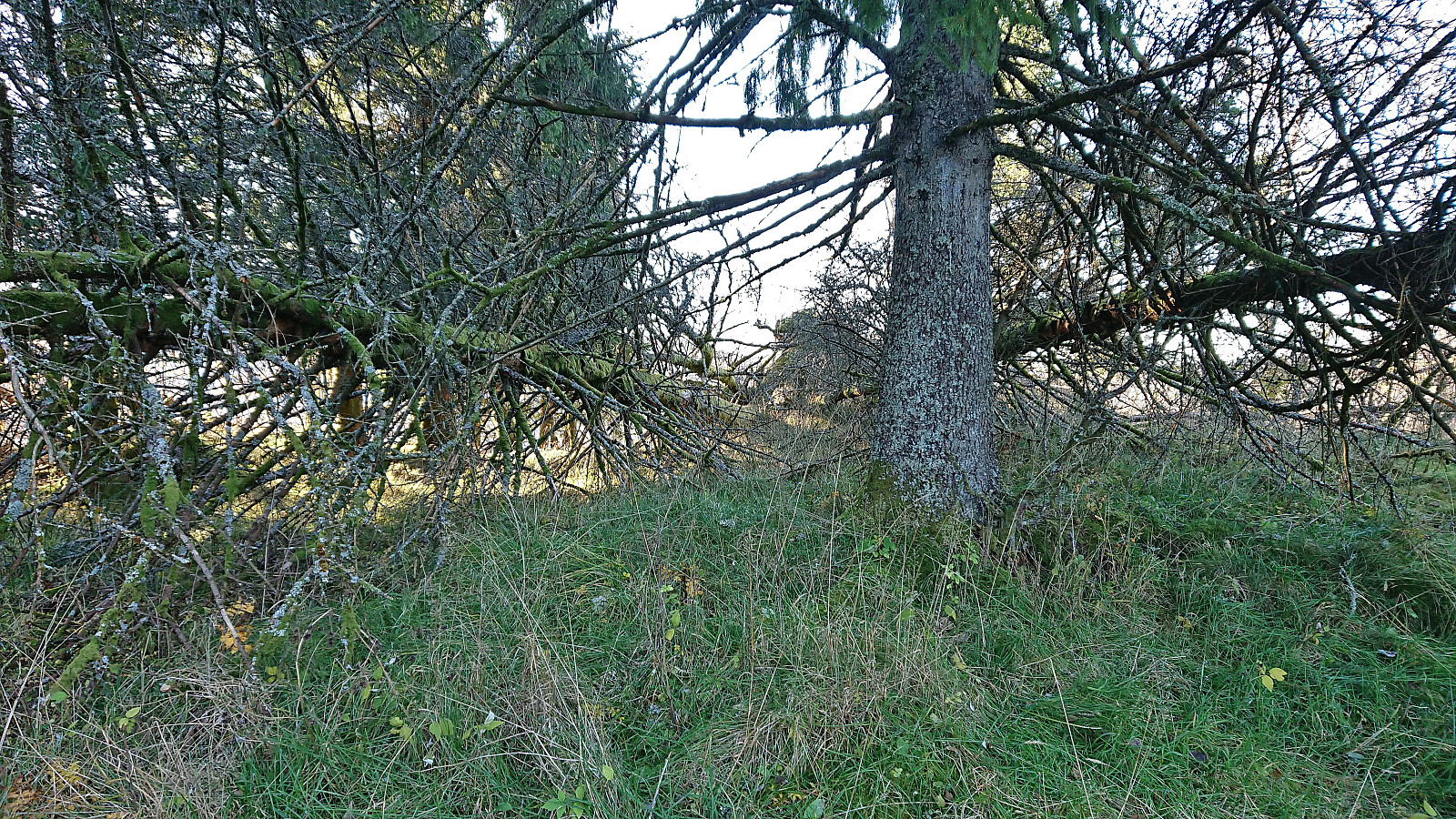
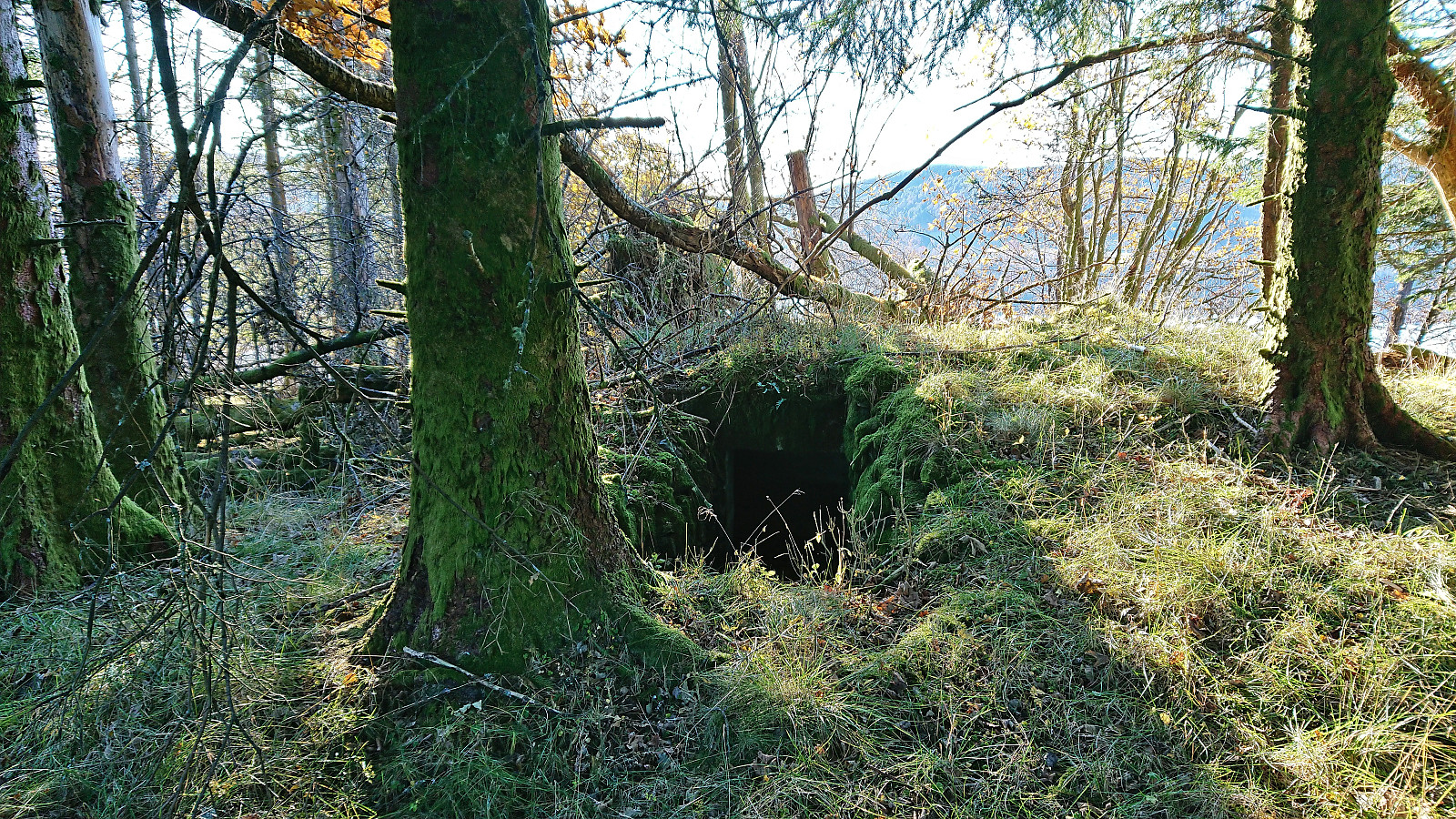
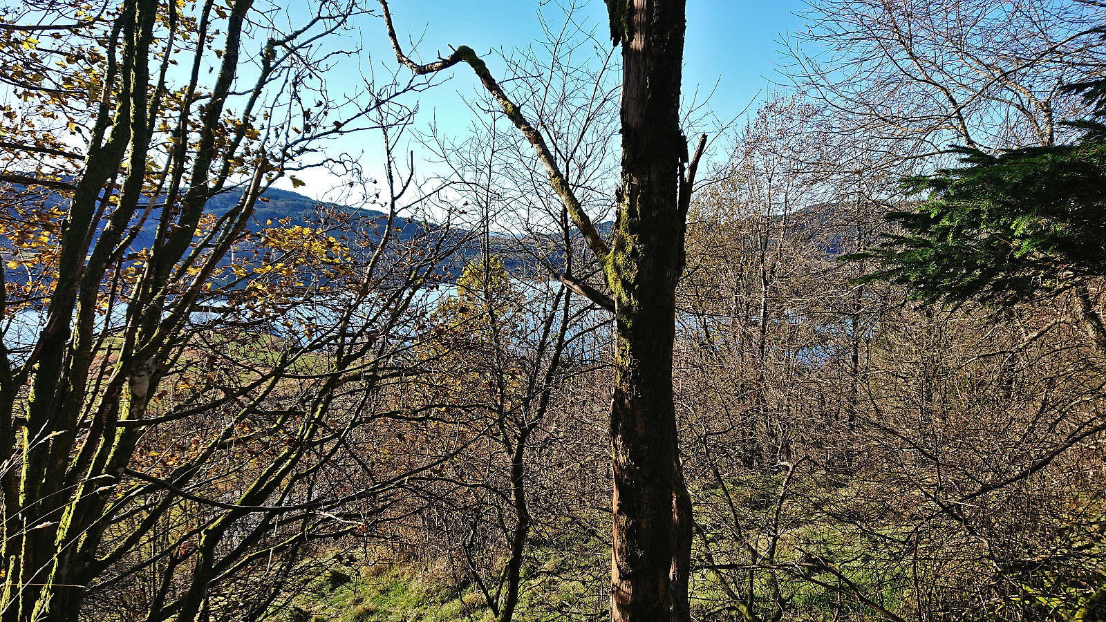
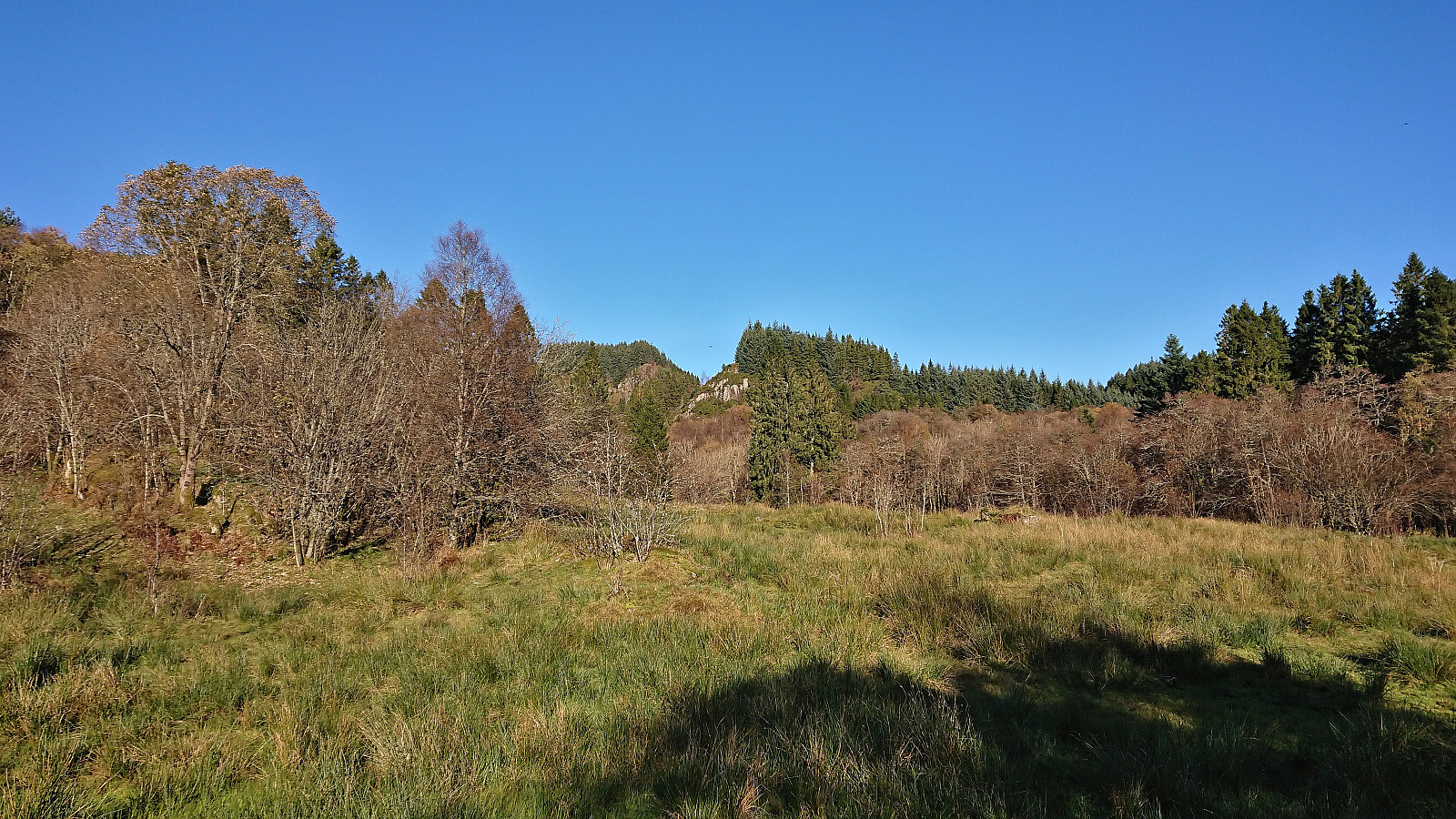
A Sunday hike in perfect late October weather with the main objective of visiting the small hill called Tempelet on the eastern side of Kalandsvatnet. Tempelet could easily be ascended from the north via a route that stayed just far enough from the surrounding houses for it not to feel like trespassing. Given the limited views, the most interesting feature at the summit was a small old bunker from the second world war. I did not stay long before returning the same way.
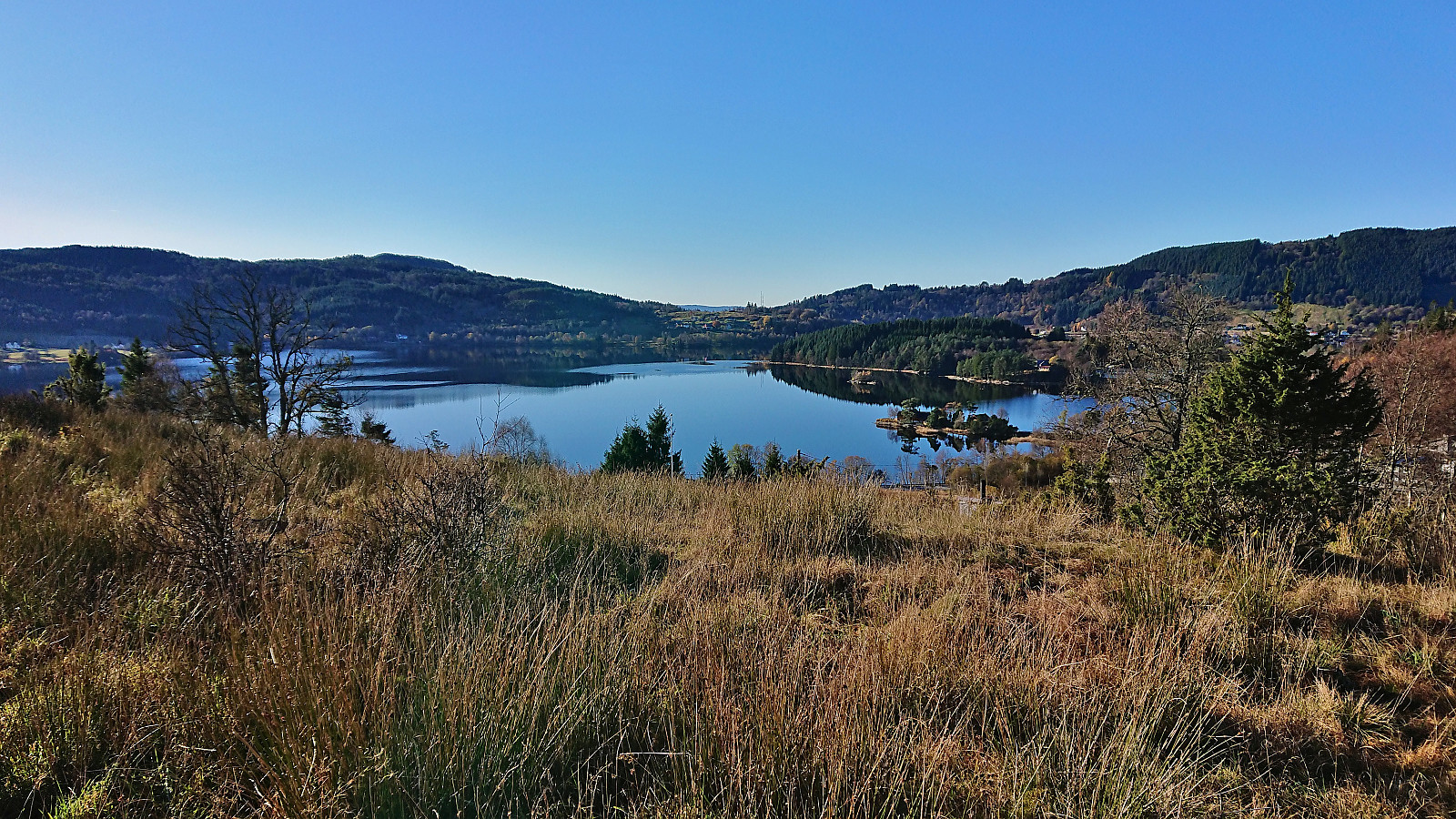
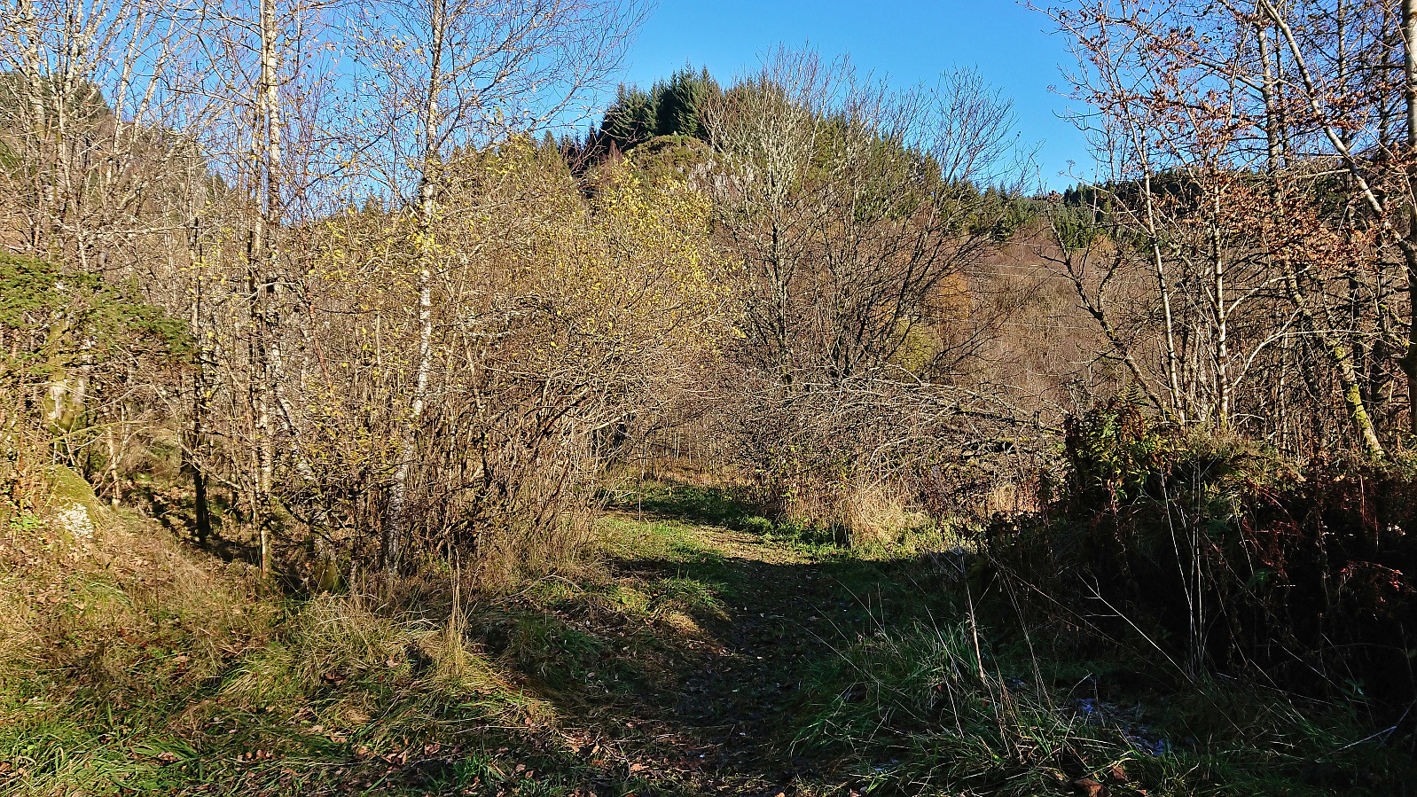
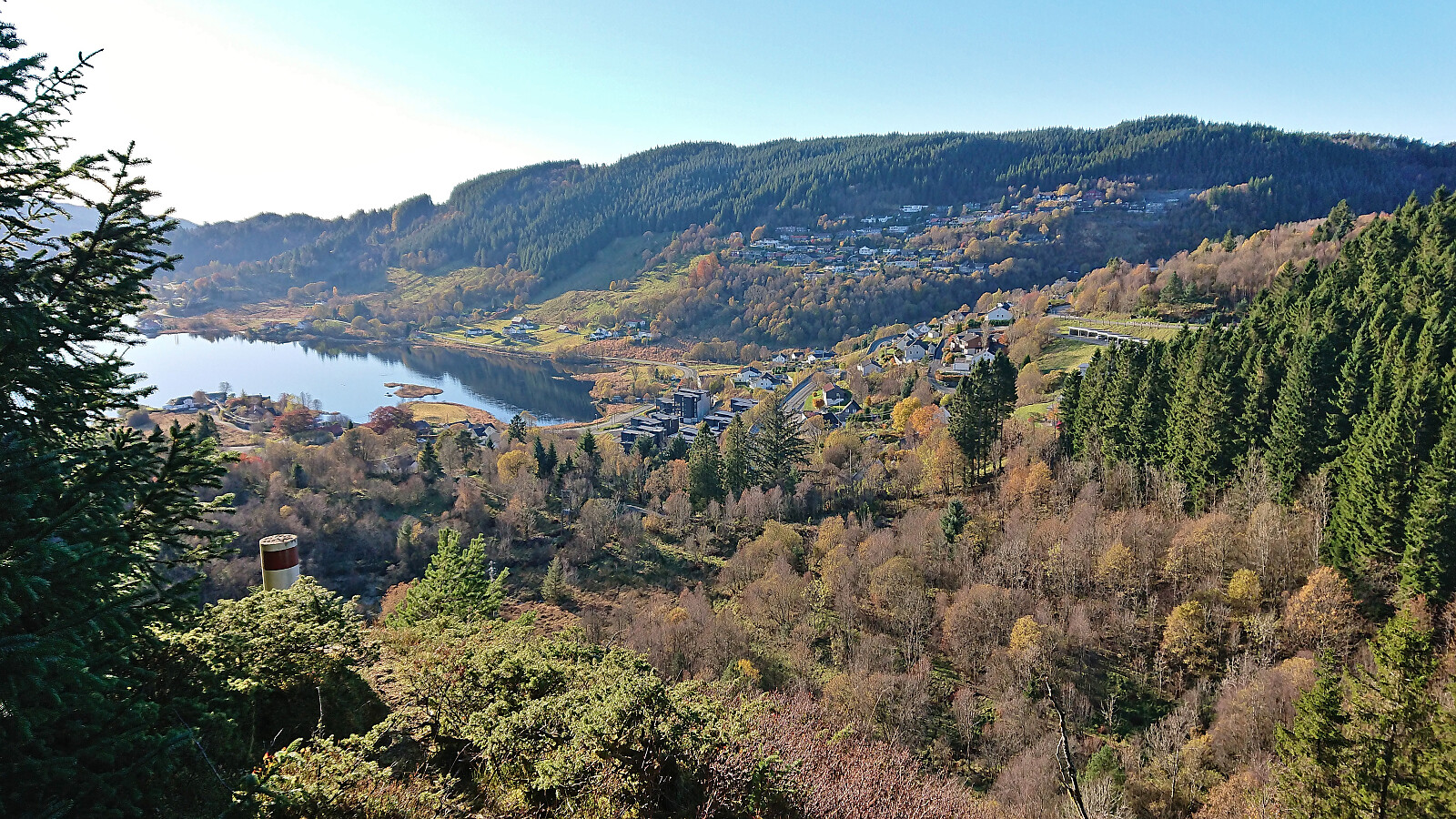
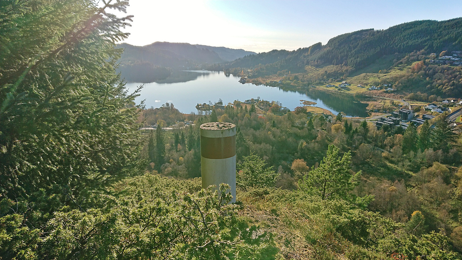
Back at the main road I proceeded to follow it north to the unmarked start of the trail to Håvegen søyle. The trail itself was overall a bit on the weak side, however the direction was pretty obvious, and I quickly arrived at the small pass north of the ridge containing the trig marker. From here there was a weak trail along the ridge. Excellent views from the trig marker and a great spot for my late lunch break.
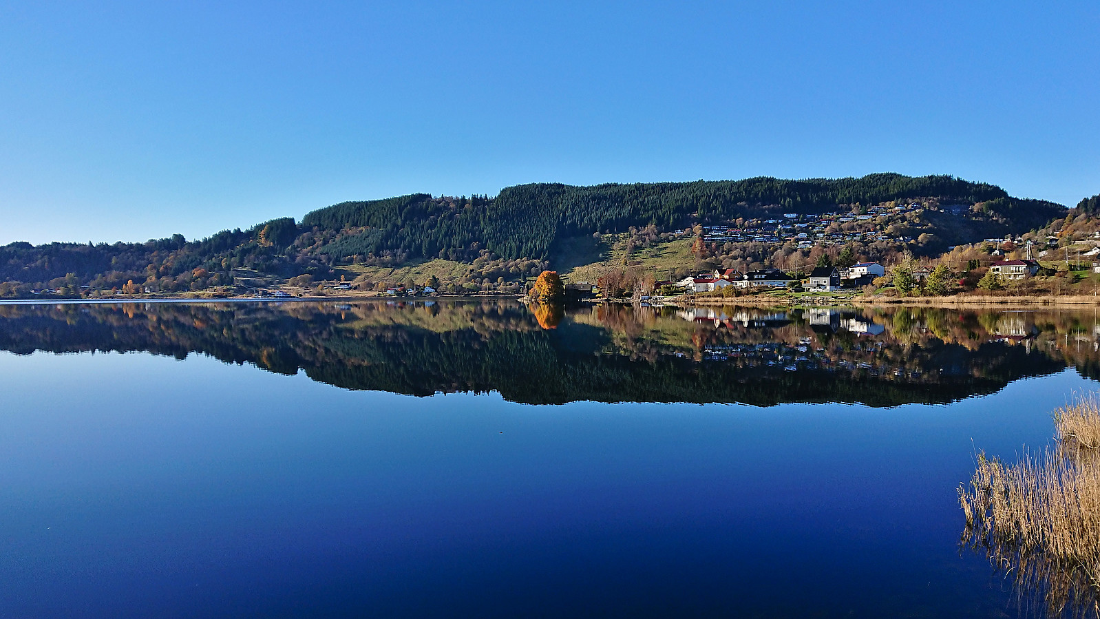
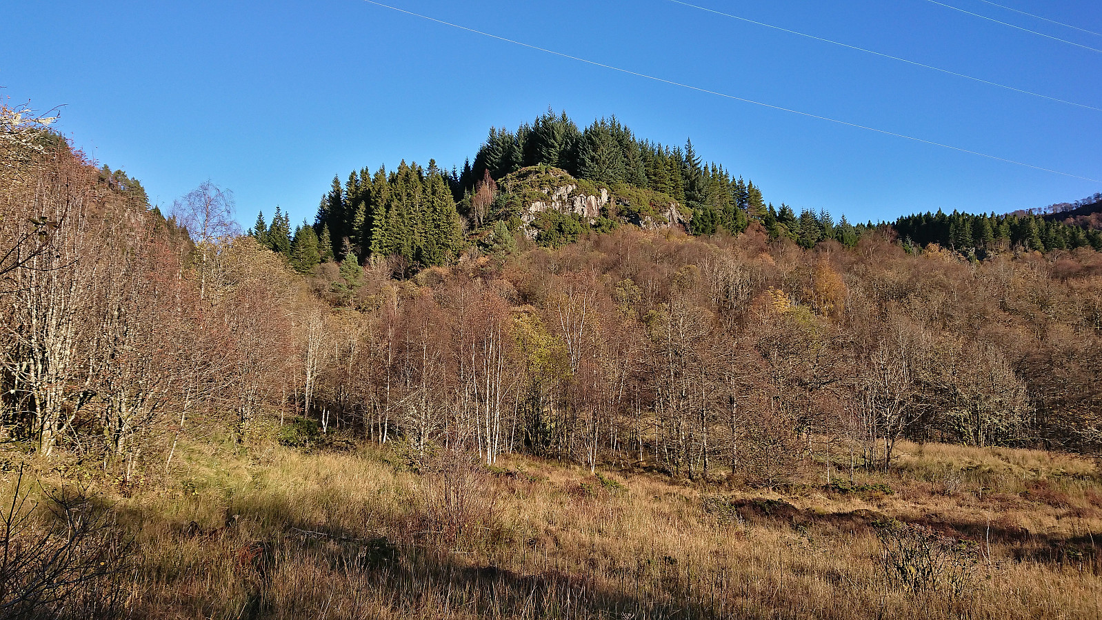
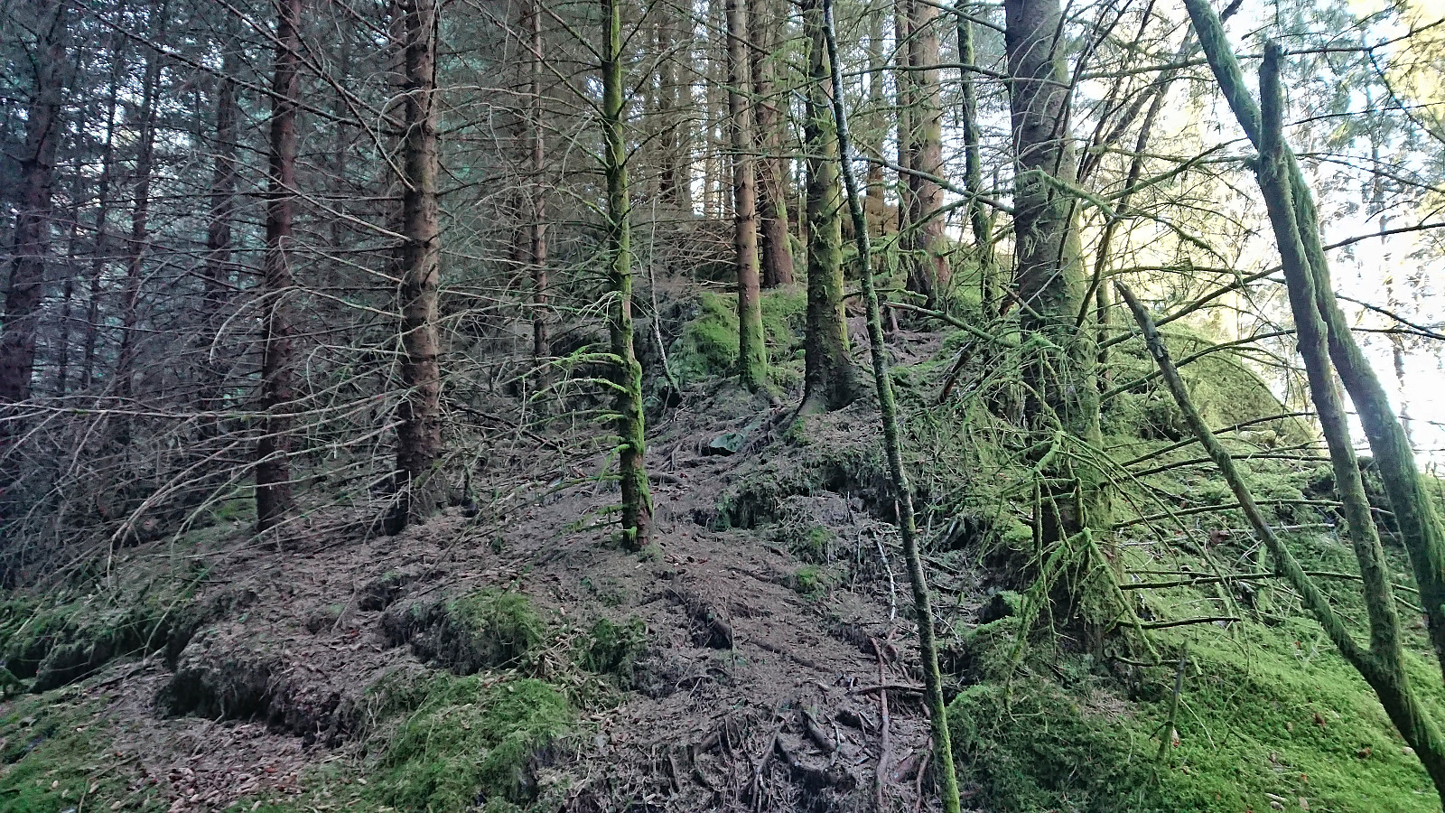
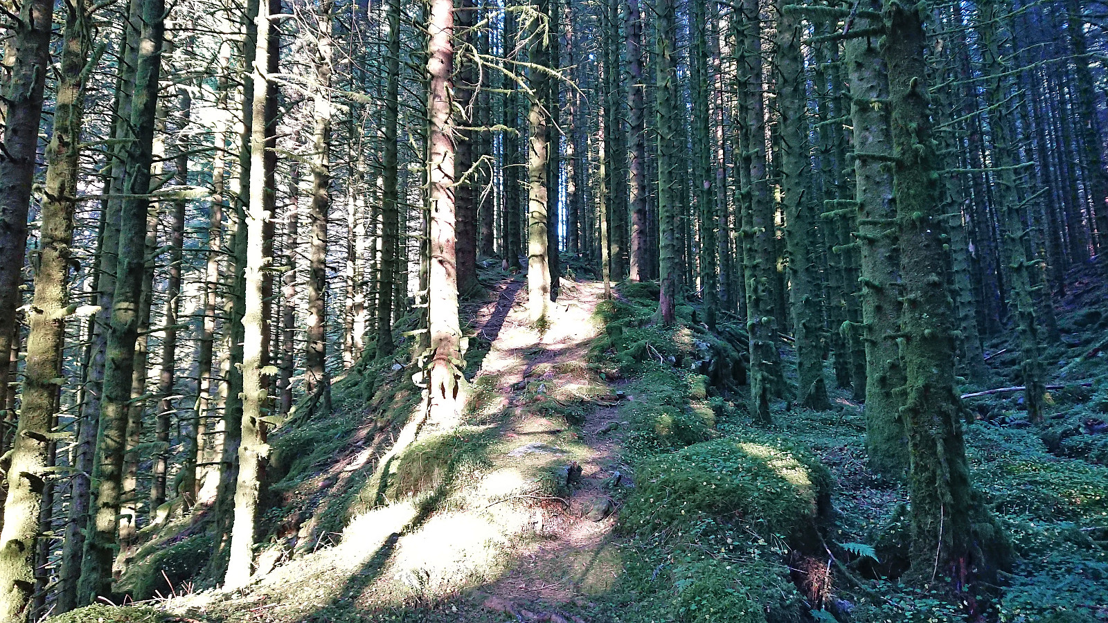
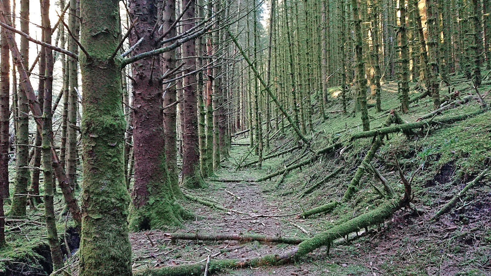
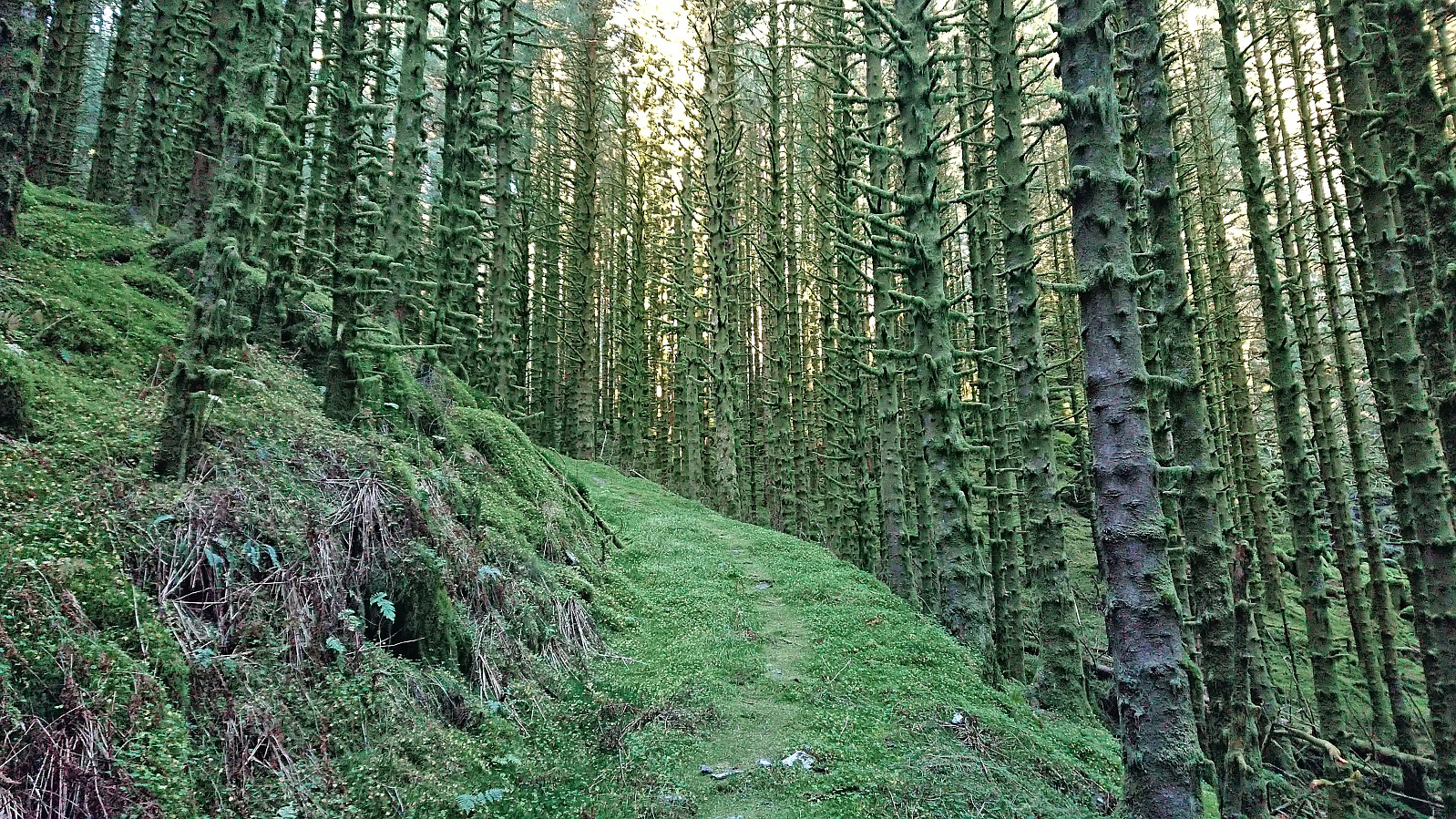
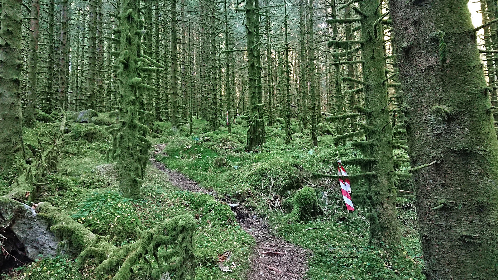
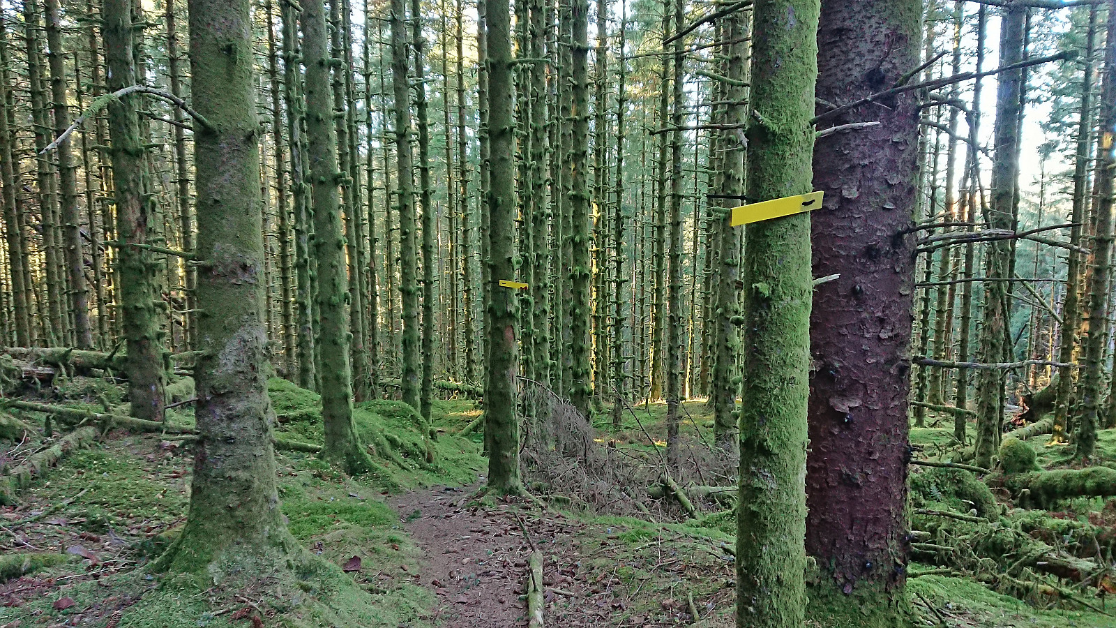
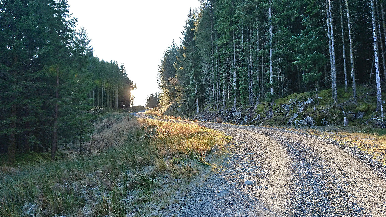
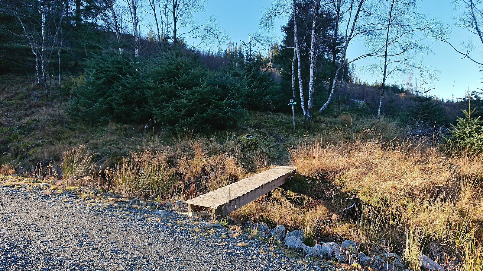
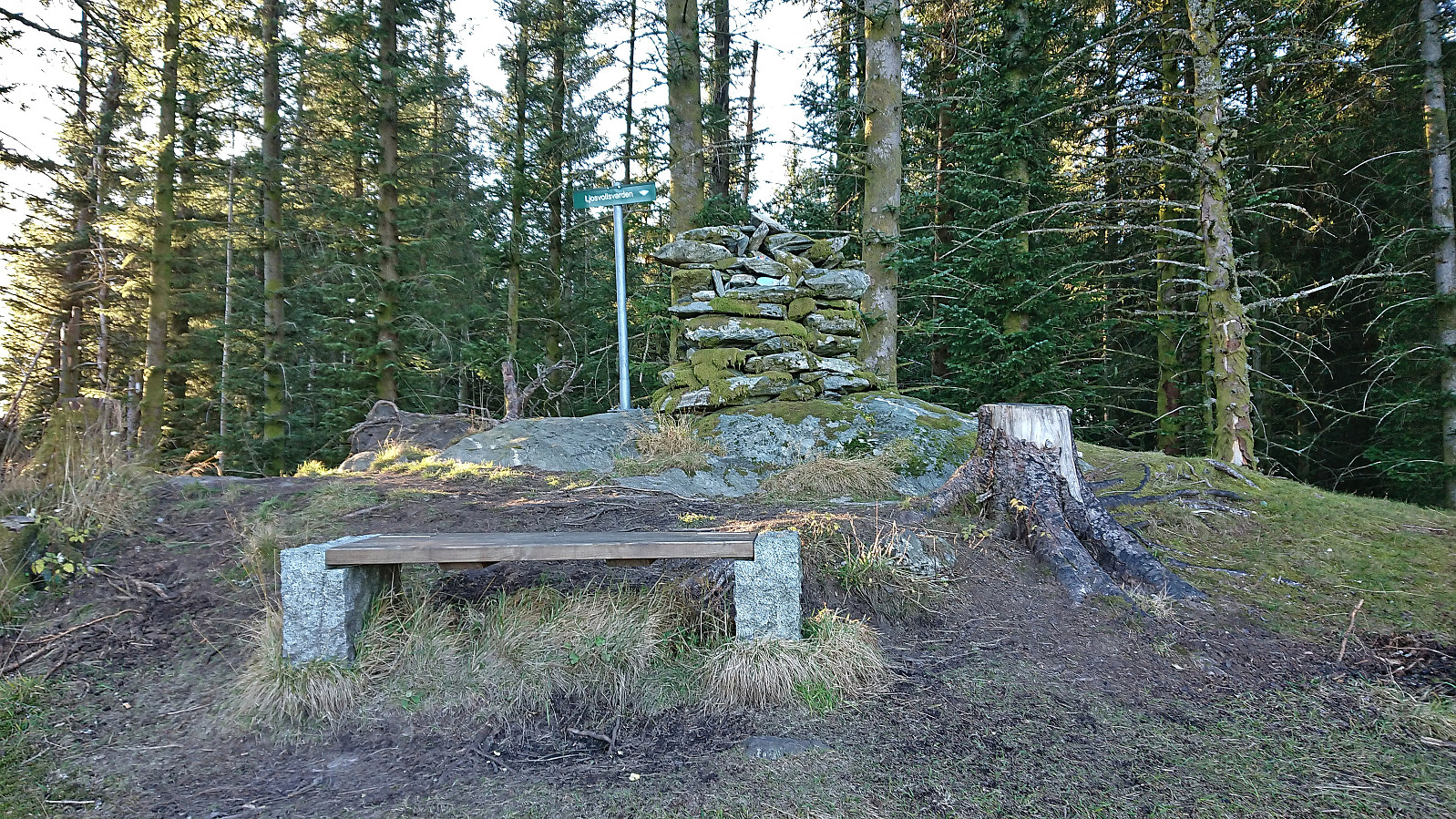
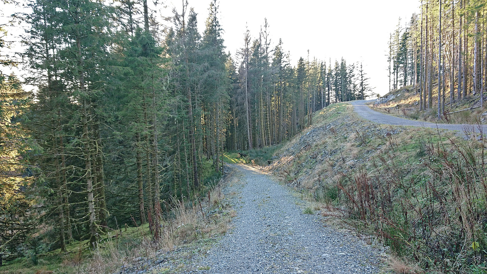
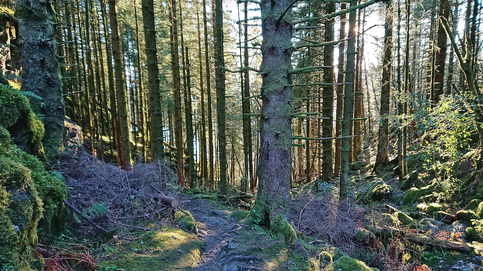
I returned north and followed a trail northeast between Storenipen and Langhaugen which later connected with an old tractor road. Lots of fallen trees resulted in numerous minor detours from the tractor road, however all of these were marked with plastic ribbons. Before reaching the gravel road east of Ljosvollsvarden I came across a trail marked with yellow wooden markers. The same type of markers that I later followed to Ljosvollsvarden when leaving the gravel road. Ljosvollsvarden had gotten an upgrade since my last visit in 2017. Many trees had been removed, thus revealing an excellent view to the east.
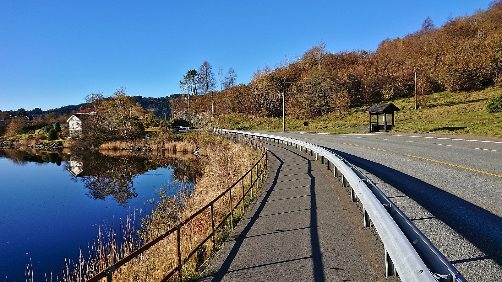
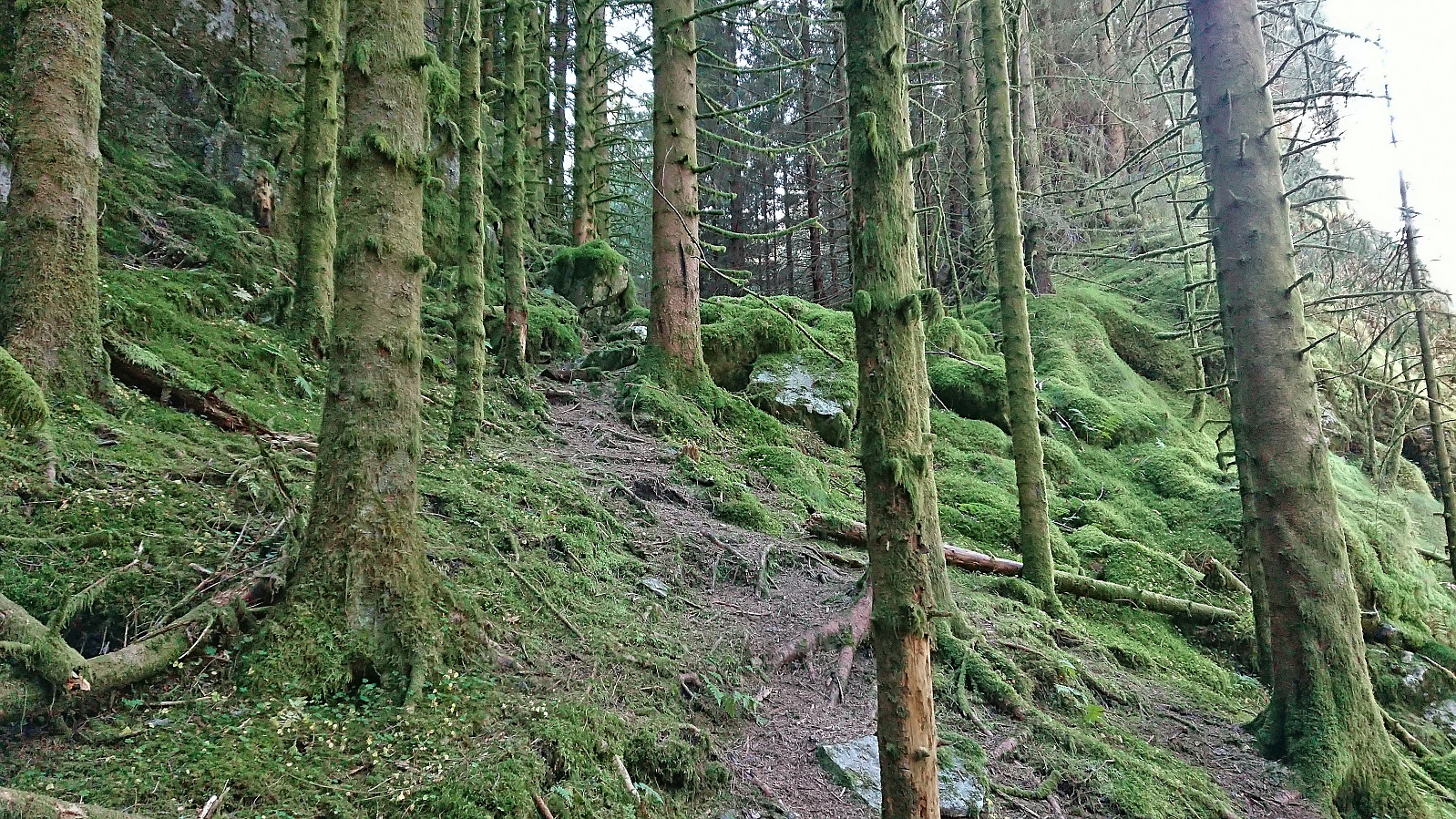
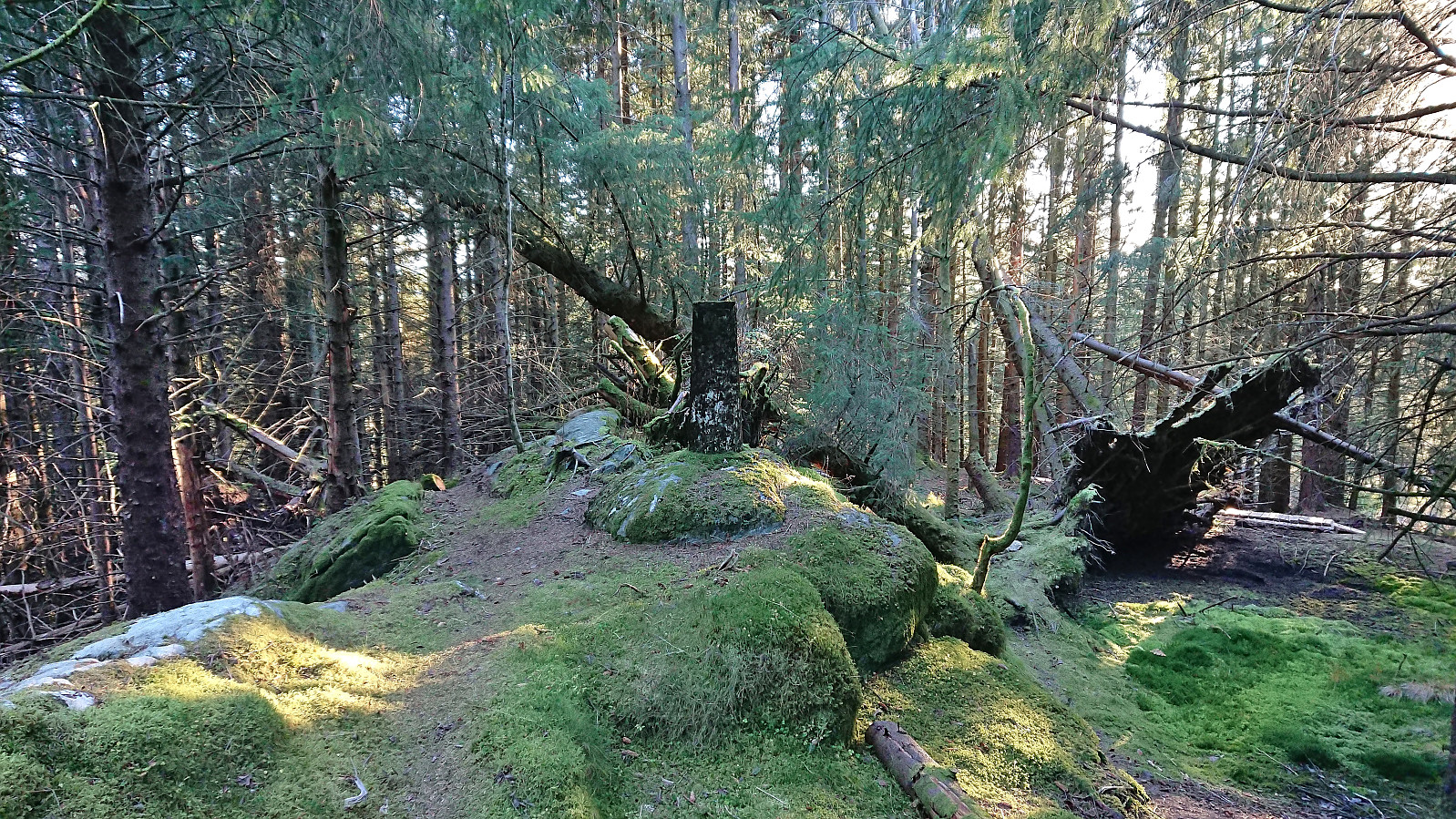
From Ljosvollsvarden I retraced my steps south before leaving the trail for a quick visit of Øvre Sandven søyle. A big step down from Ljosvollsvarden as here there were no views at all. After briefly reconnecting with the gravel road I continued on a trail to Vallalia. The upper part was nice, however the lower section stuck a bit too close to the houses and it felt like I was in their backyard. Towards the very end I therefore made my own shortcut, although this is probably not necessary. All that remained was then to follow the road to Valle from where the plan had been to take the bus to Nesttun (and then Bybanen to the city center). But as I was ahead of schedule, I ended up walking all the way to Lilletvedt/Litleveiten before getting on the bus.
In summary, a nice short walk where the views from Håvegen søyle and Ljosvollsvarden being the highlights.

| Starttidspunkt | 29.10.2023 12:46 (UTC+01:00) |
| Sluttidspunkt | 29.10.2023 15:53 (UTC+01:00) |
| Totaltid | 3t 07min |
| Bevegelsestid | 2t 44min |
| Pausetid | 0t 23min |
| Snittfart totalt | 3,1km/t |
| Snittfart bevegelsestid | 3,6km/t |
| Distanse | 9,8km |
| Høydemeter | 395m |

Kommentarer