Kjerringafjellet and Kvasshovden (22.10.2023)

| Startpunkt | Ulsberg (277m) |
|---|---|
| Endpunkt | Trå (28m) |
| Tourcharakter | Bergtour |
| Tourlänge | 7h 06min |
| Entfernung | 17,6km |
| Höhenmeter | 1.078m |
| GPS |
|
| Besteigungen | Kjerringafjellet (1.052m) | 22.10.2023 |
|---|---|---|
| Kvasshovden (1.064m) | 22.10.2023 | |
| Varden på Kvasshovden (1.025m) | 22.10.2023 | |
| Besuche anderer PBE | Grostøl stølsmurer (640m) | 22.10.2023 |
| Litlaset (475m) | 22.10.2023 |
Kjerringafjellet and Kvasshovden
After several days of strong wind from the east, the weather finally improved enough to allow for proper mountain hiking. I therefore got up early Sunday morning and took the train to Voss (or to be more correct, bus-for-train to Arna and then train to Voss). Here I switched back to bus and continued in the direction of Ulvik. My plan was partially follow in the footsteps of Knut Sverre and Astrid based on their trip report from 2015 indicating a trail to Kvasshovden via Grostøl, mainly as this would save me almost 300 vertical meters compared to starting from the fjord at Ulvik.
In advance I had figured out that the closest bus stop to the wanted trailhead was called Ulsberg, which would leave less than 600 meters to the start of a tractor road I had located on the map. This was apparently not a very commonly used bus stop though. Proven by the fact that even the local bus driver was not 100% sure where it was. The upside was that I was instead dropped off exactly at the start of the abovementioned tractor road.
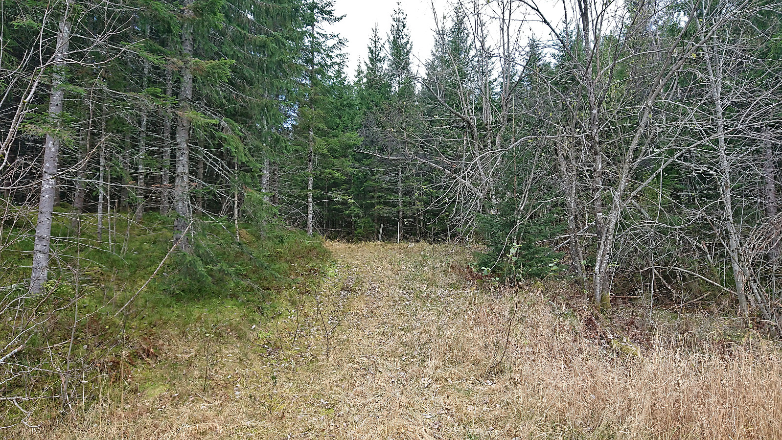
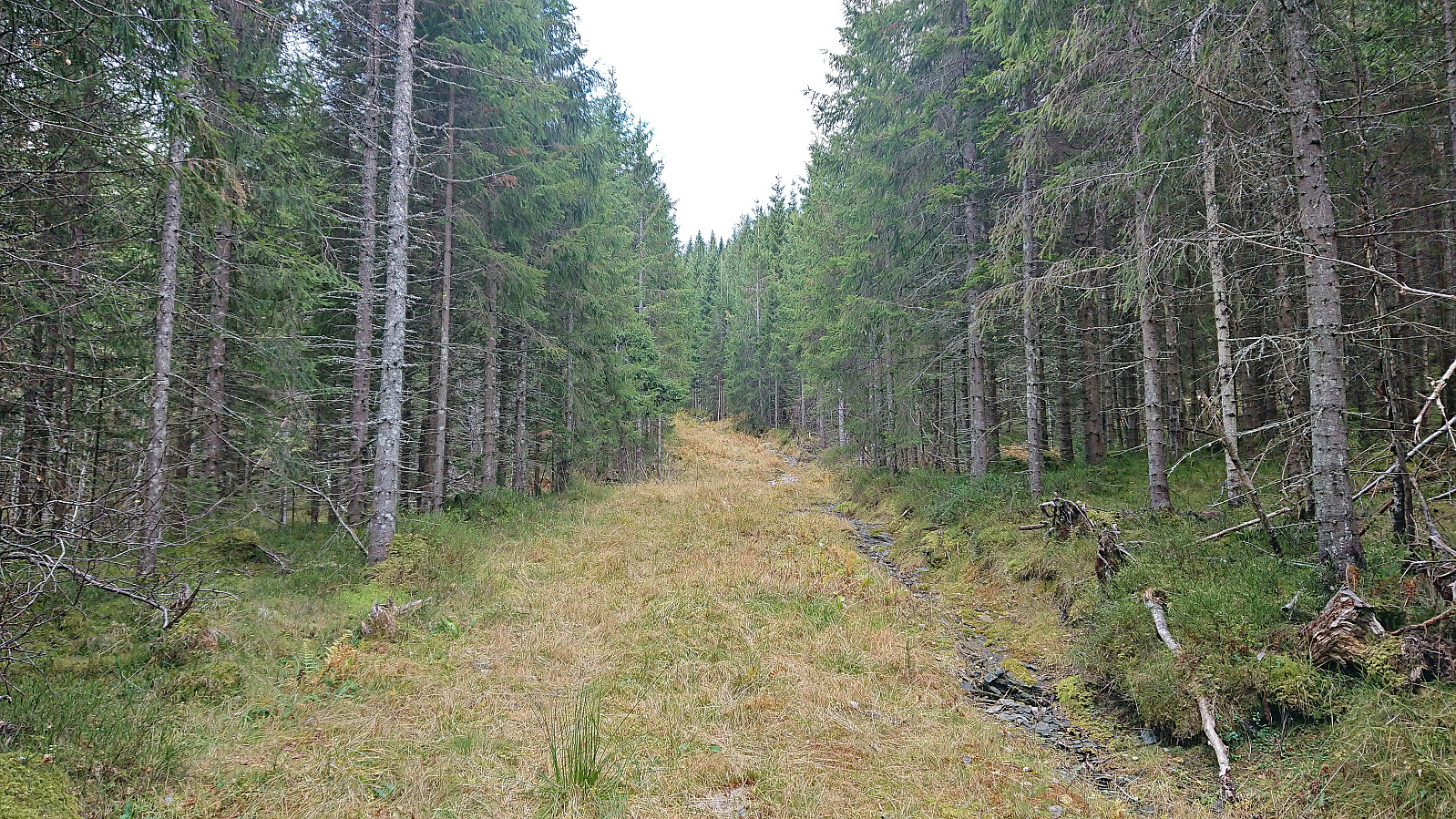
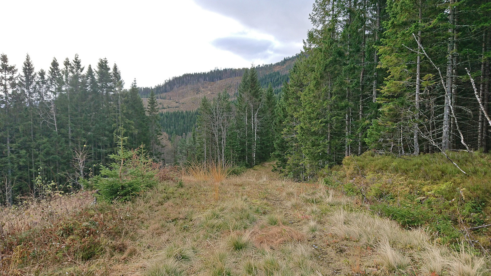
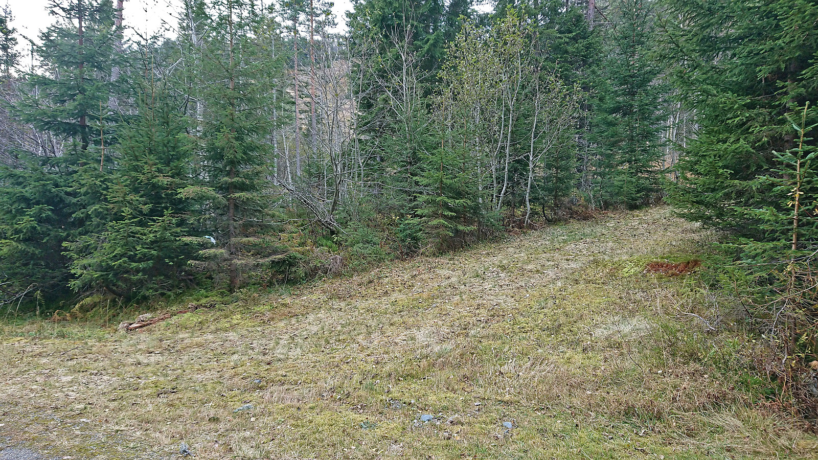
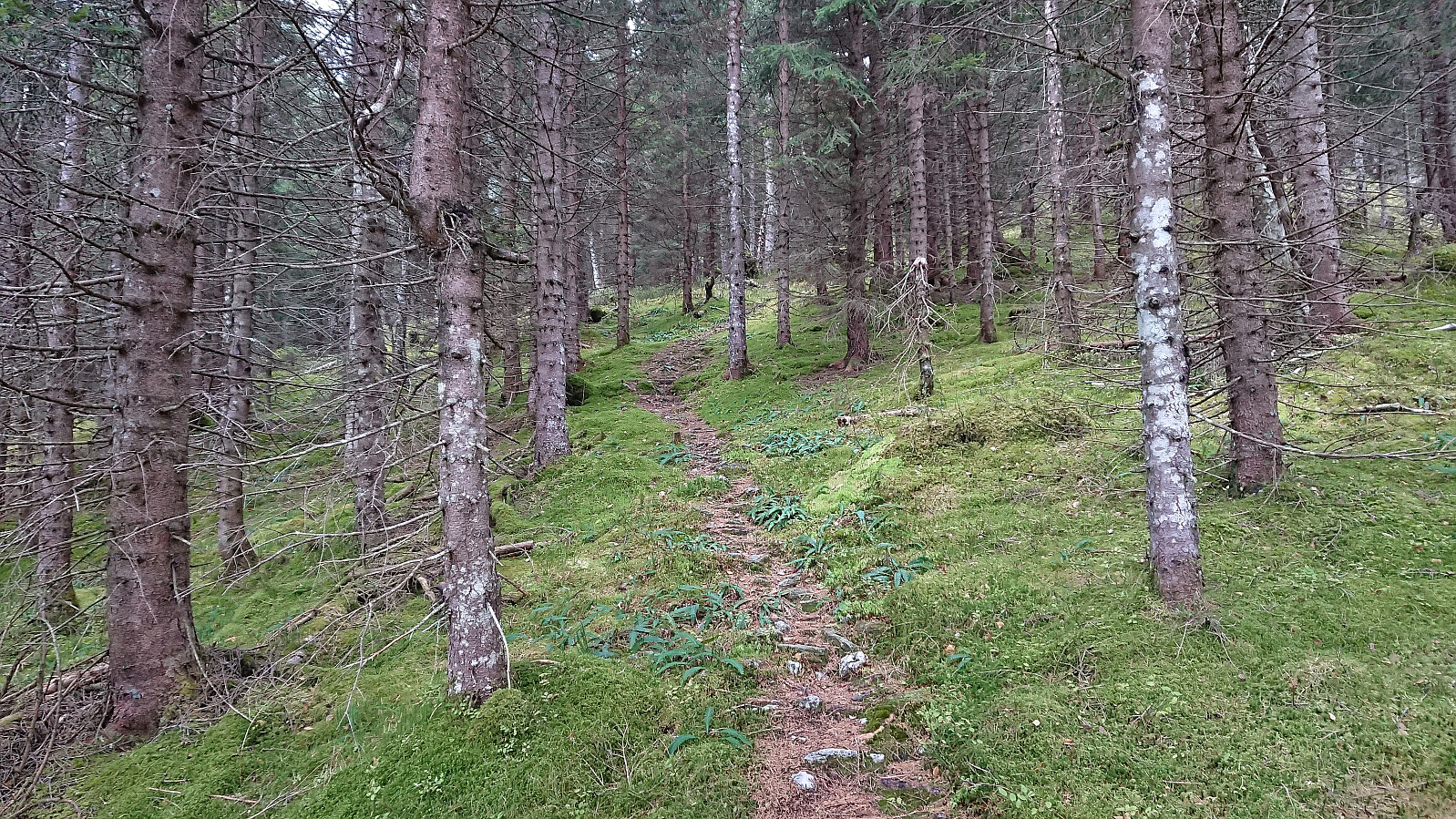
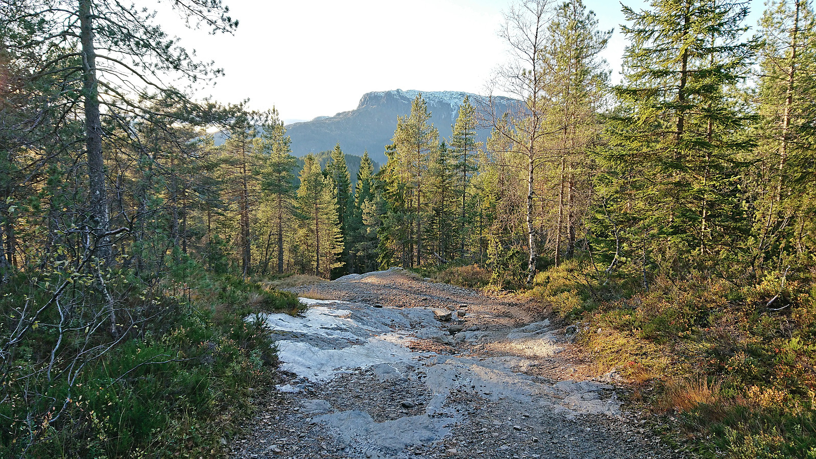
I started by following the tractor road southwest with the goal of connecting with another gravel road going north-south. However, the quality of the tractor road got continuously worse and in the end disappeared altogether. But by then I was pretty close to the ski trails at Drevtjørn Skisenter and after a short off-trail section I could simply follow these until reaching the gravel road.
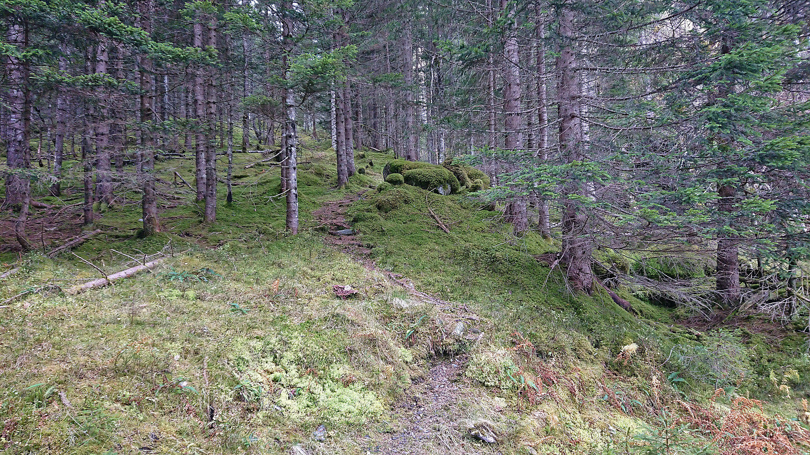
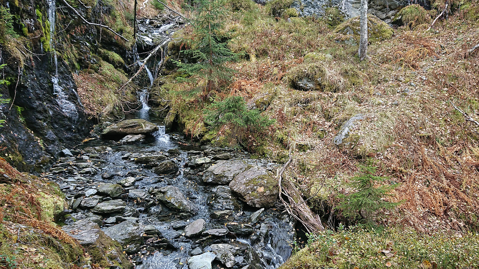
After a short walk south along the gravel road I located the tractor road marking the start of the trail to Grostøl. No sign at the trailhead but there was a single white plastic trail marker. This would however be one of only two such markers I spotted on my way to Grostøl. Thankfully, the trail was still overall easy to follow. The only exception being that one has to leave the tractor road as soon as it reaches the small river and instead ascend southwest along the river.
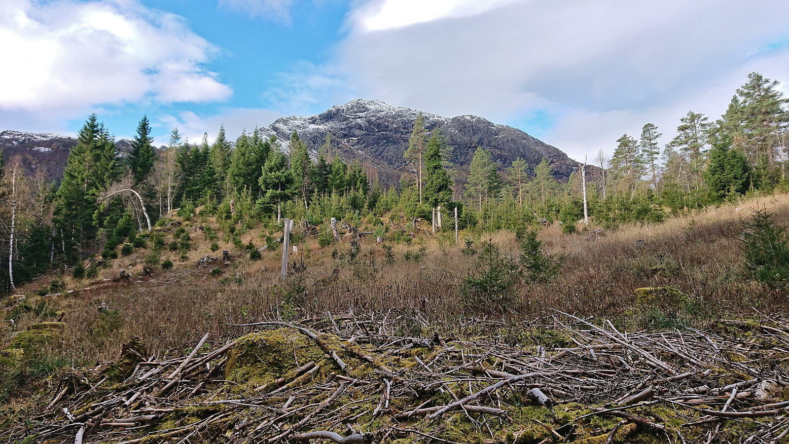
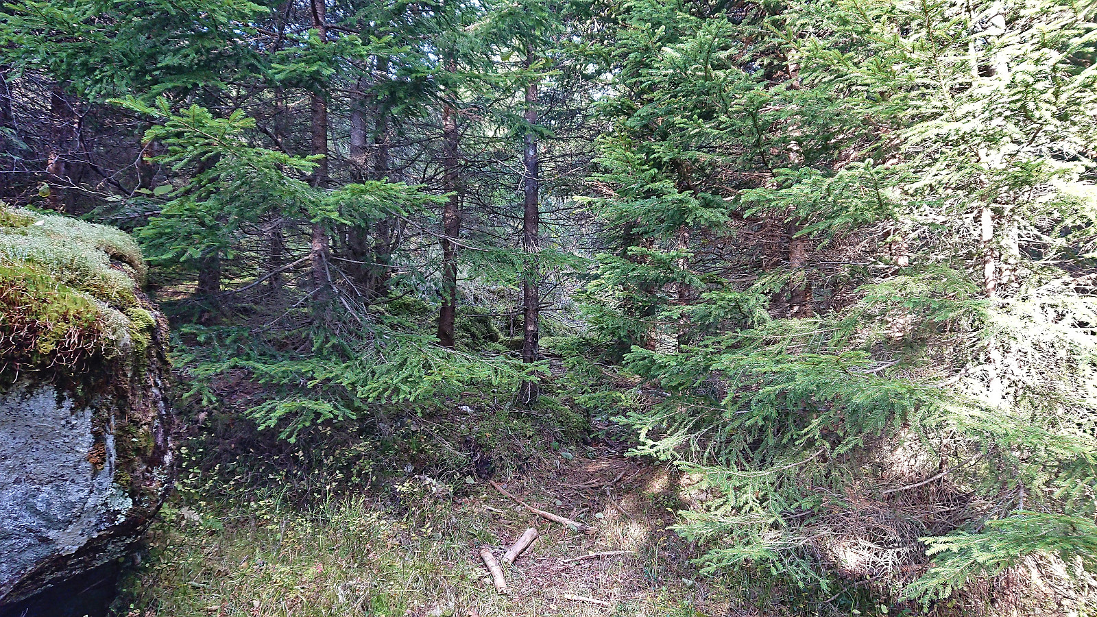
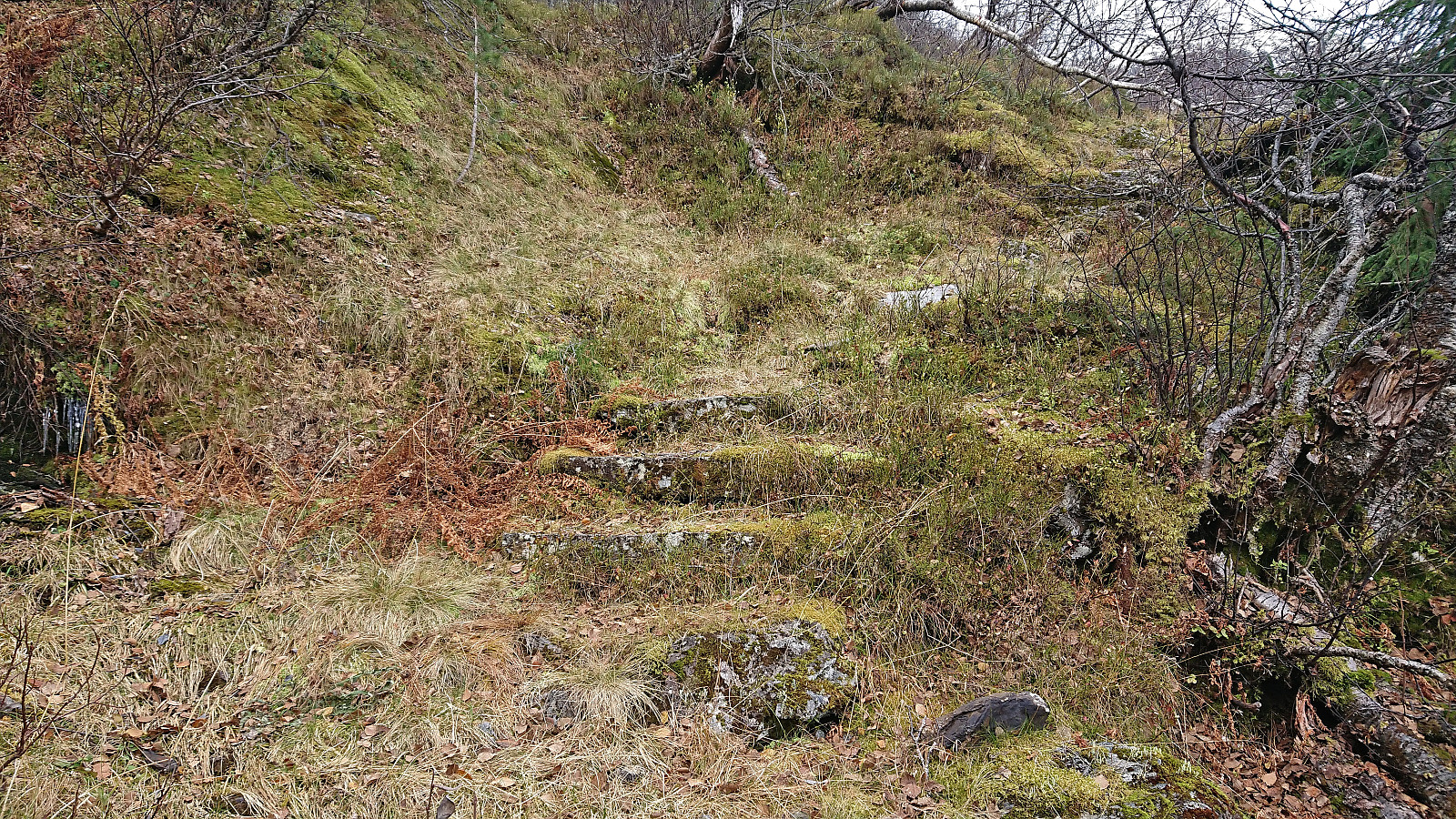
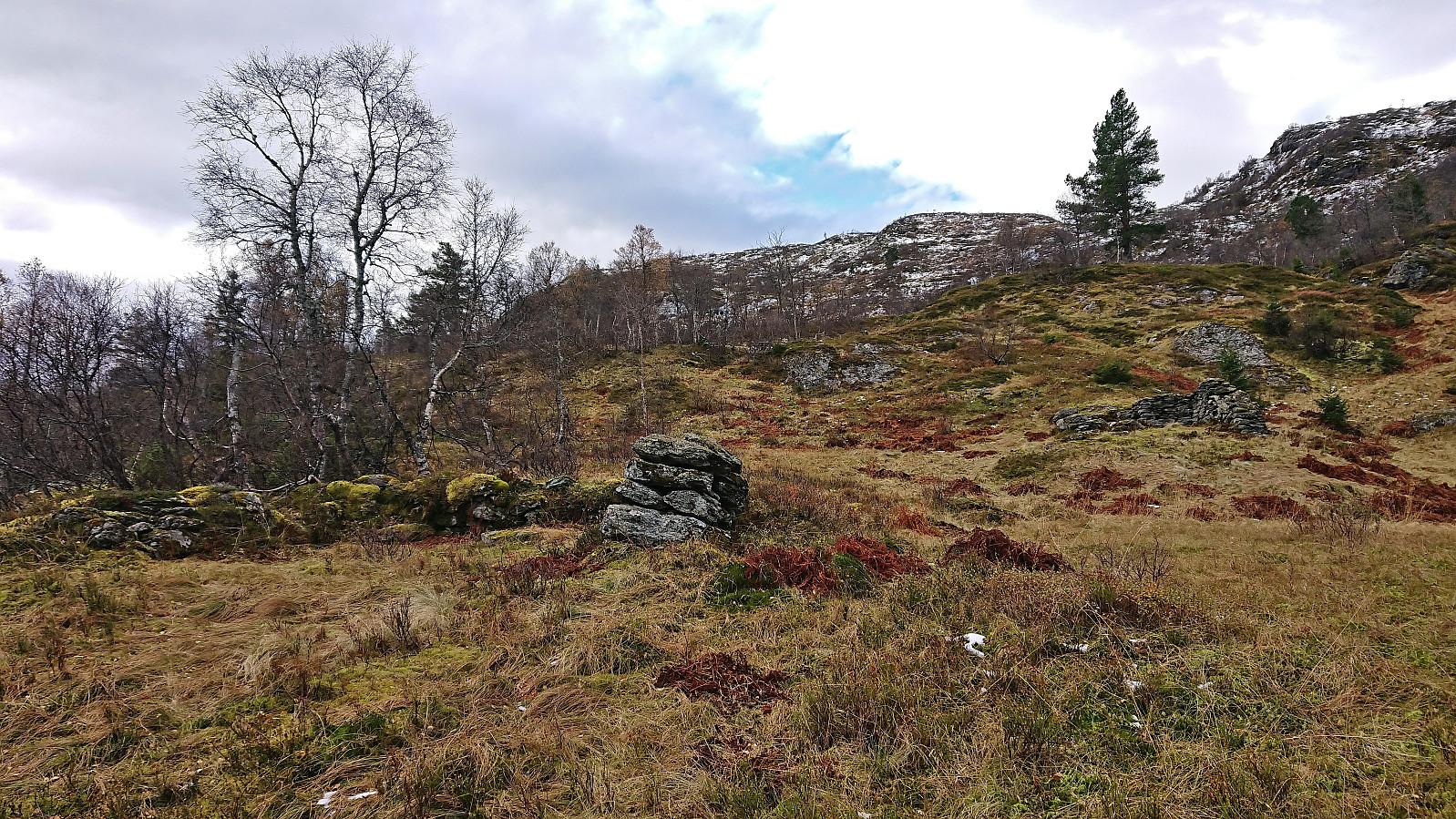
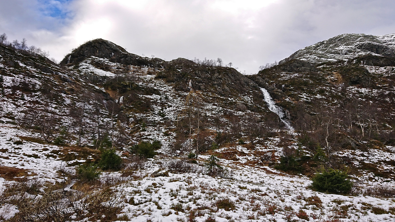
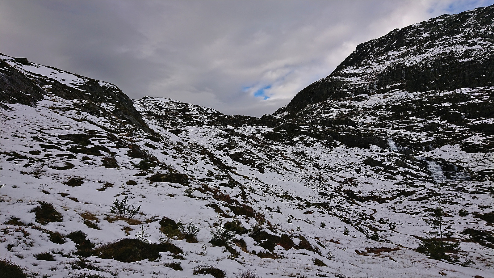
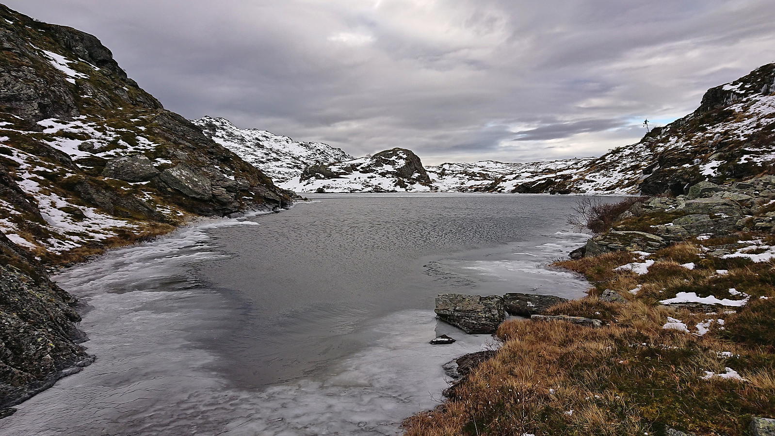
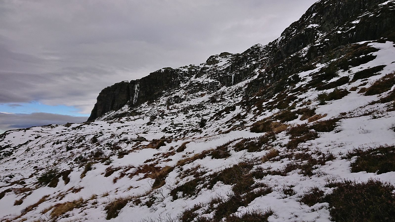
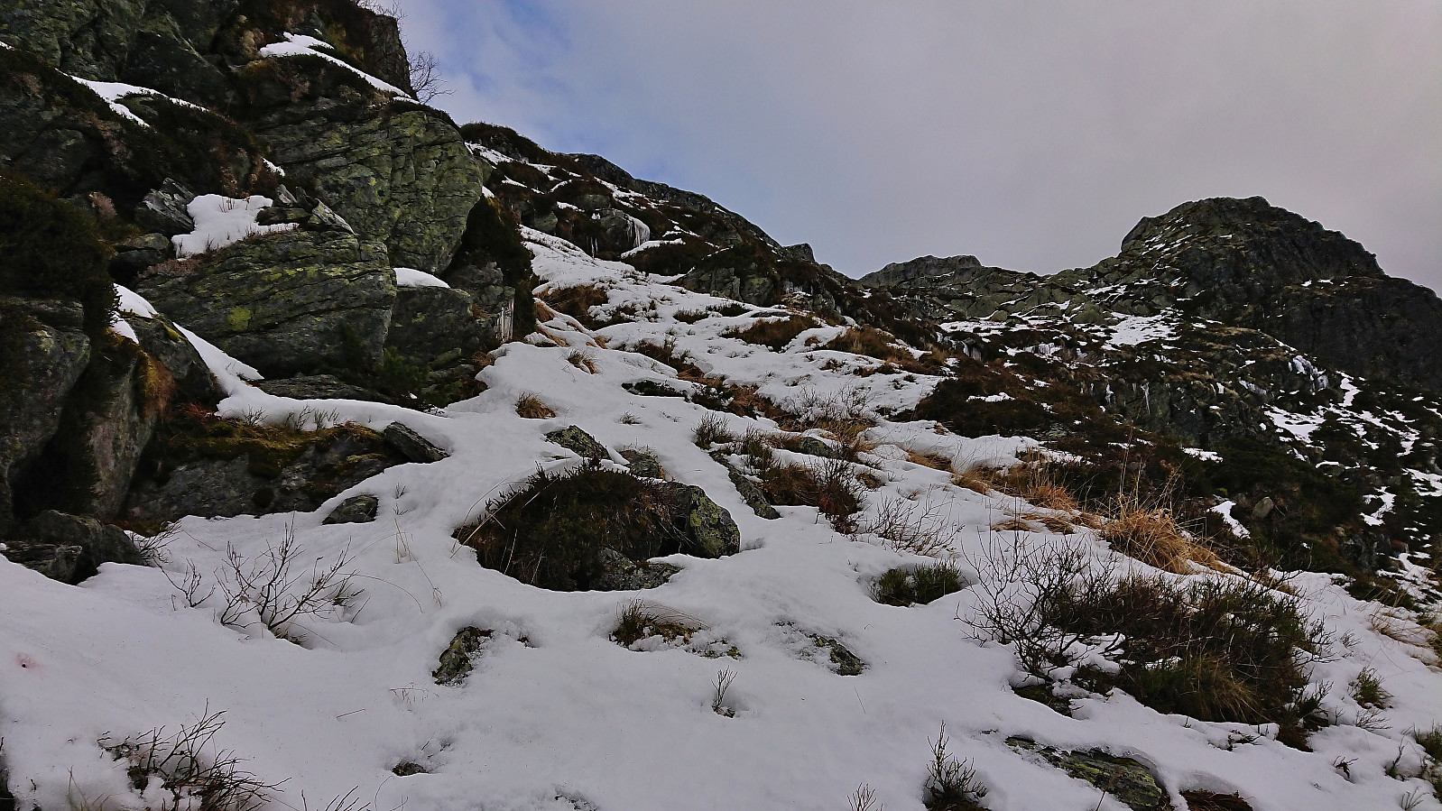
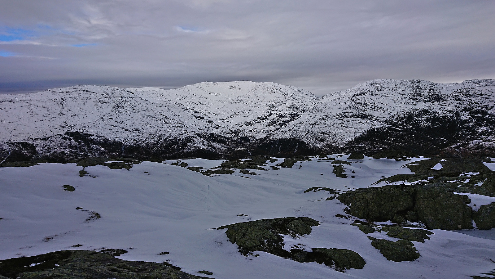
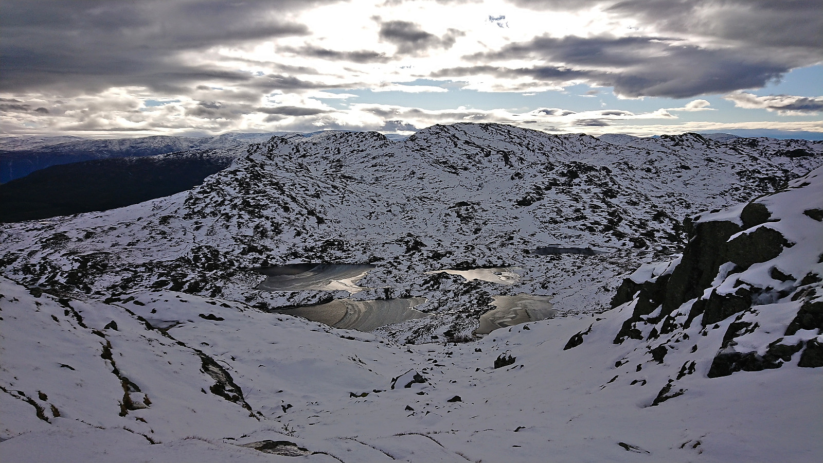
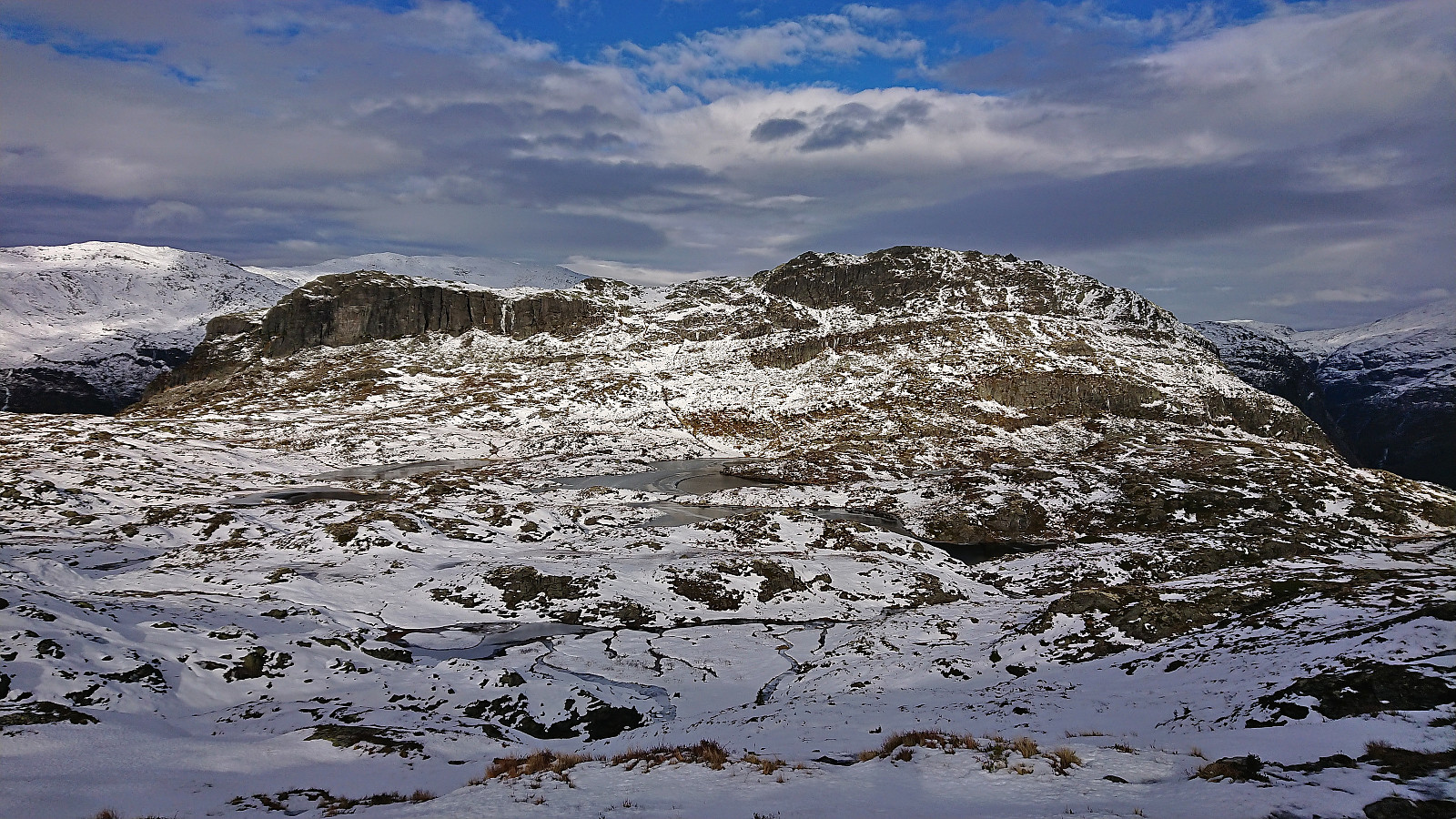
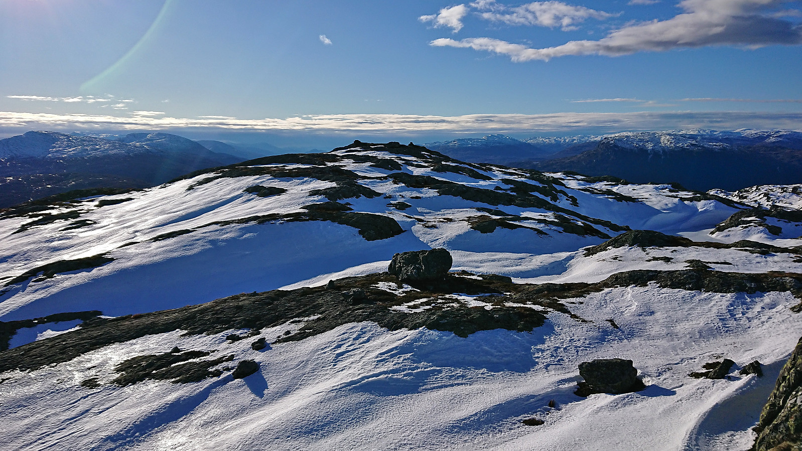
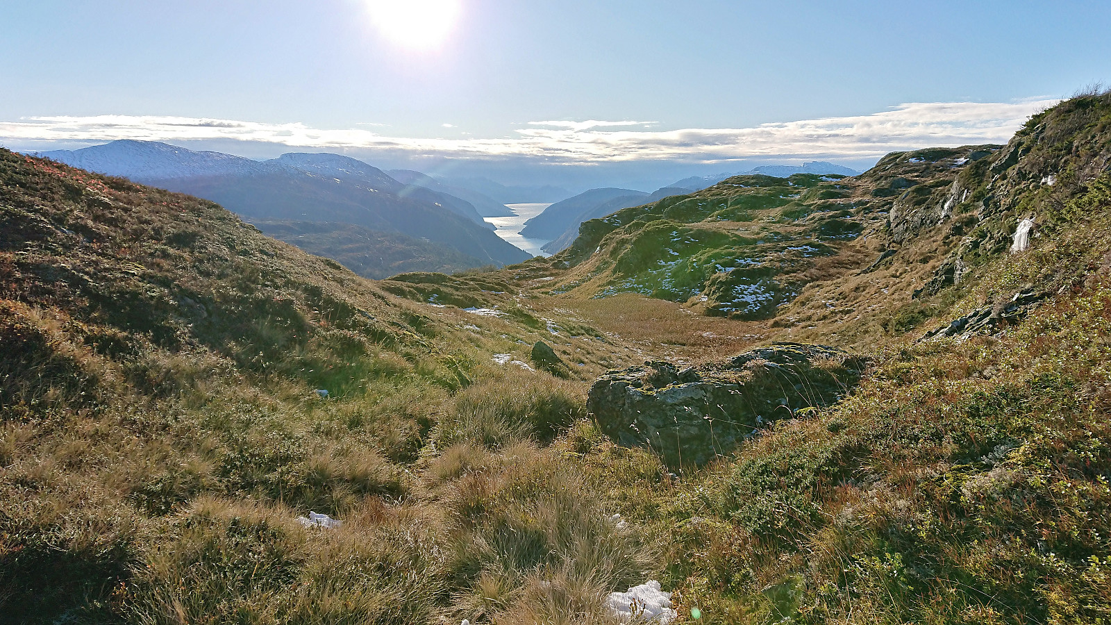
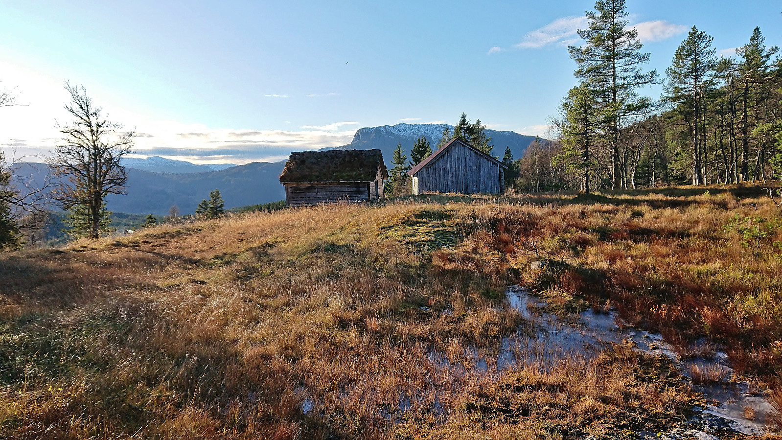
The trail later included a straightforward river-crossing before ascending steeply up to what was left of the buildings at Grostøl. Here the trail turned much weaker, although the partial snow-cover properly did not help, however I did manage to follow it until reaching the location where Grostøl is indicated on the map. At this point I gave up on the trail and simply headed off-trail in the direction of Tjørnane, i.e. the many small lakes in between Kjerringafjellet and Kvasshovden. This included a short steep section where a bit of scrambling was required, but this can most likely easily be avoided by a minor detour.
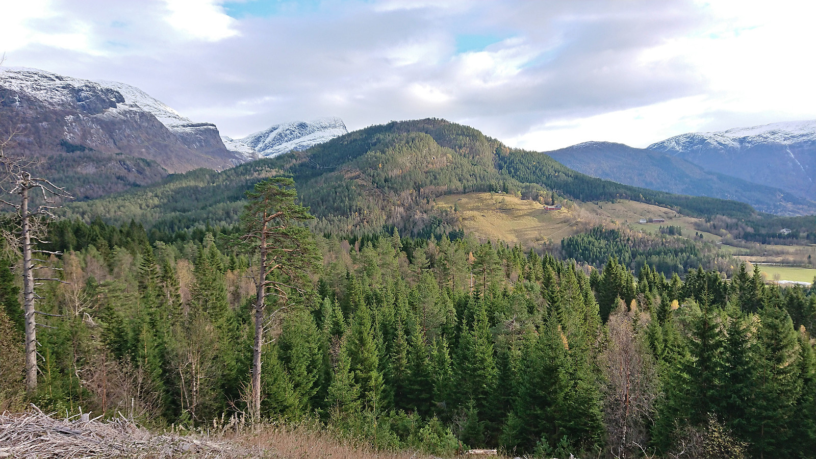
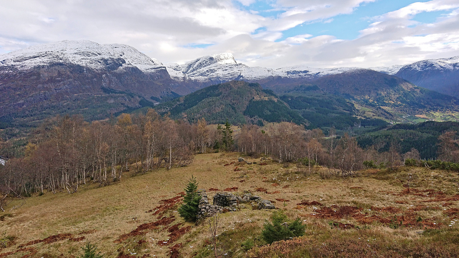
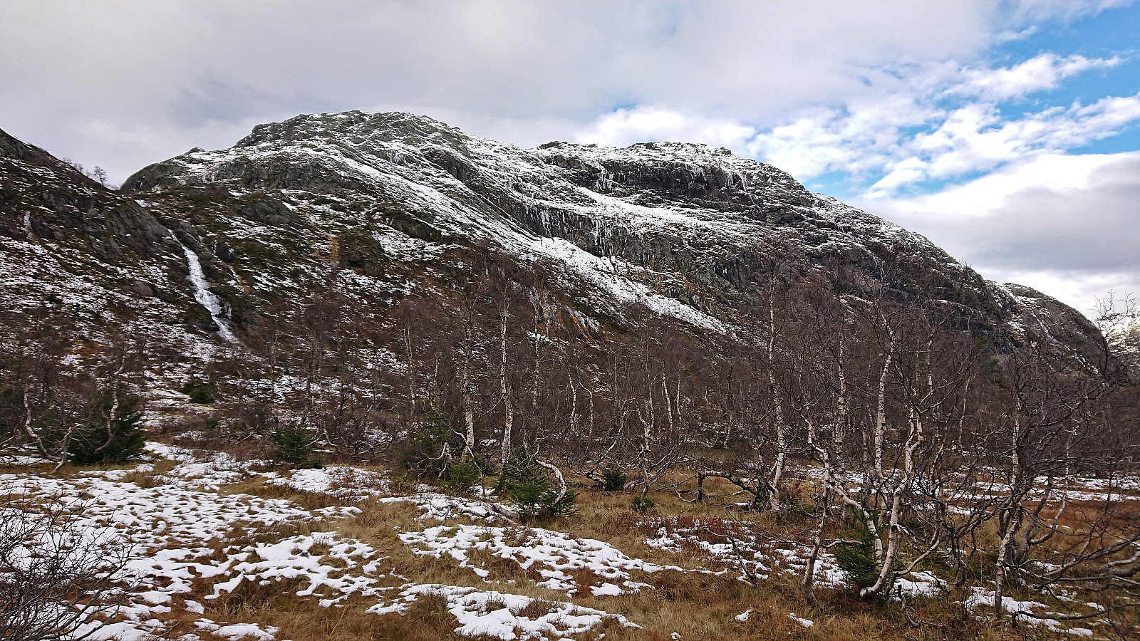
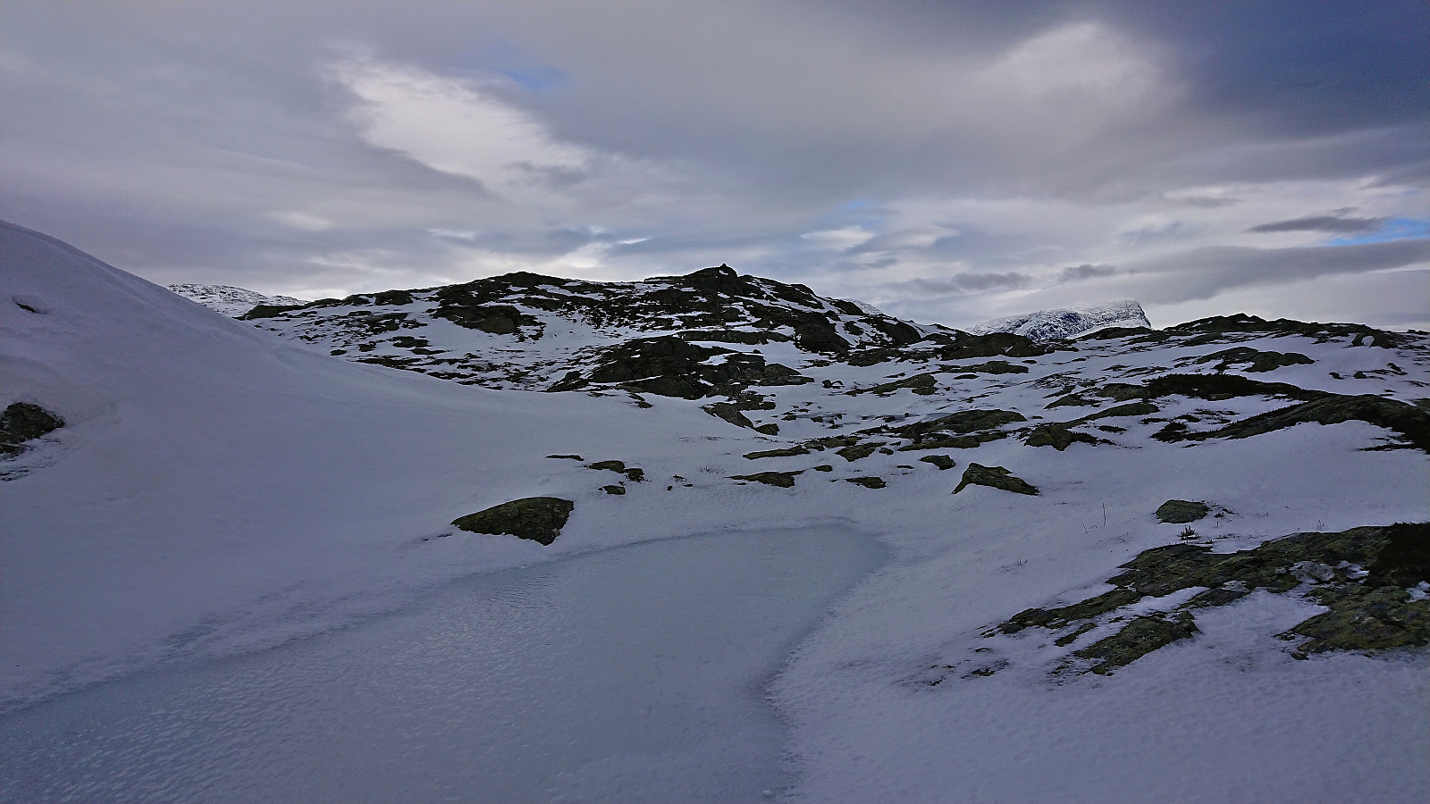
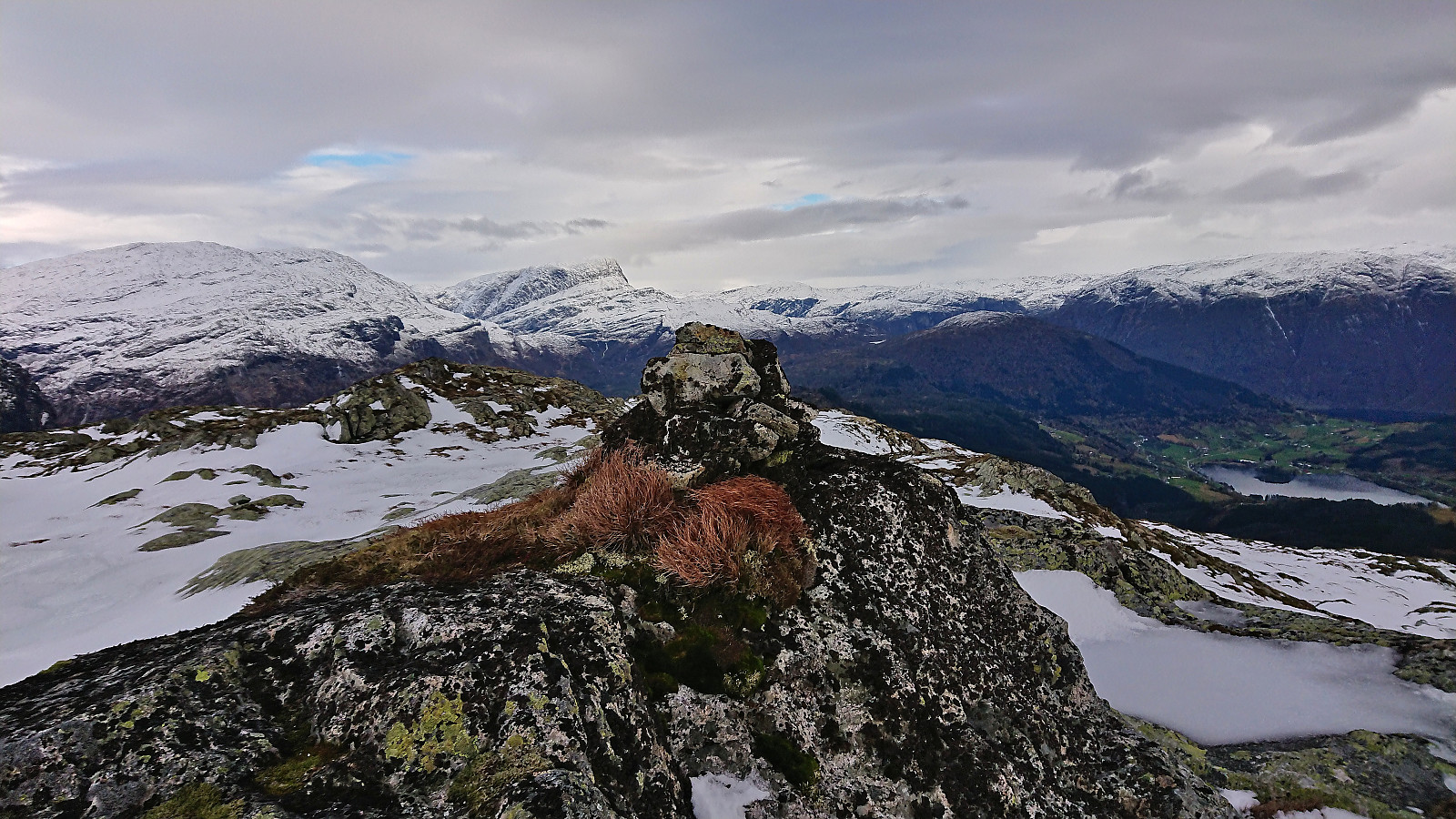
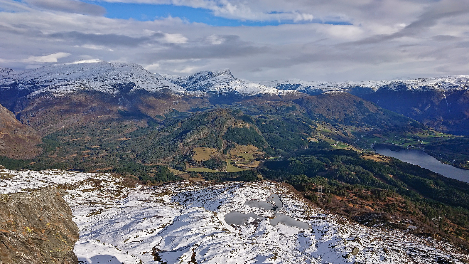
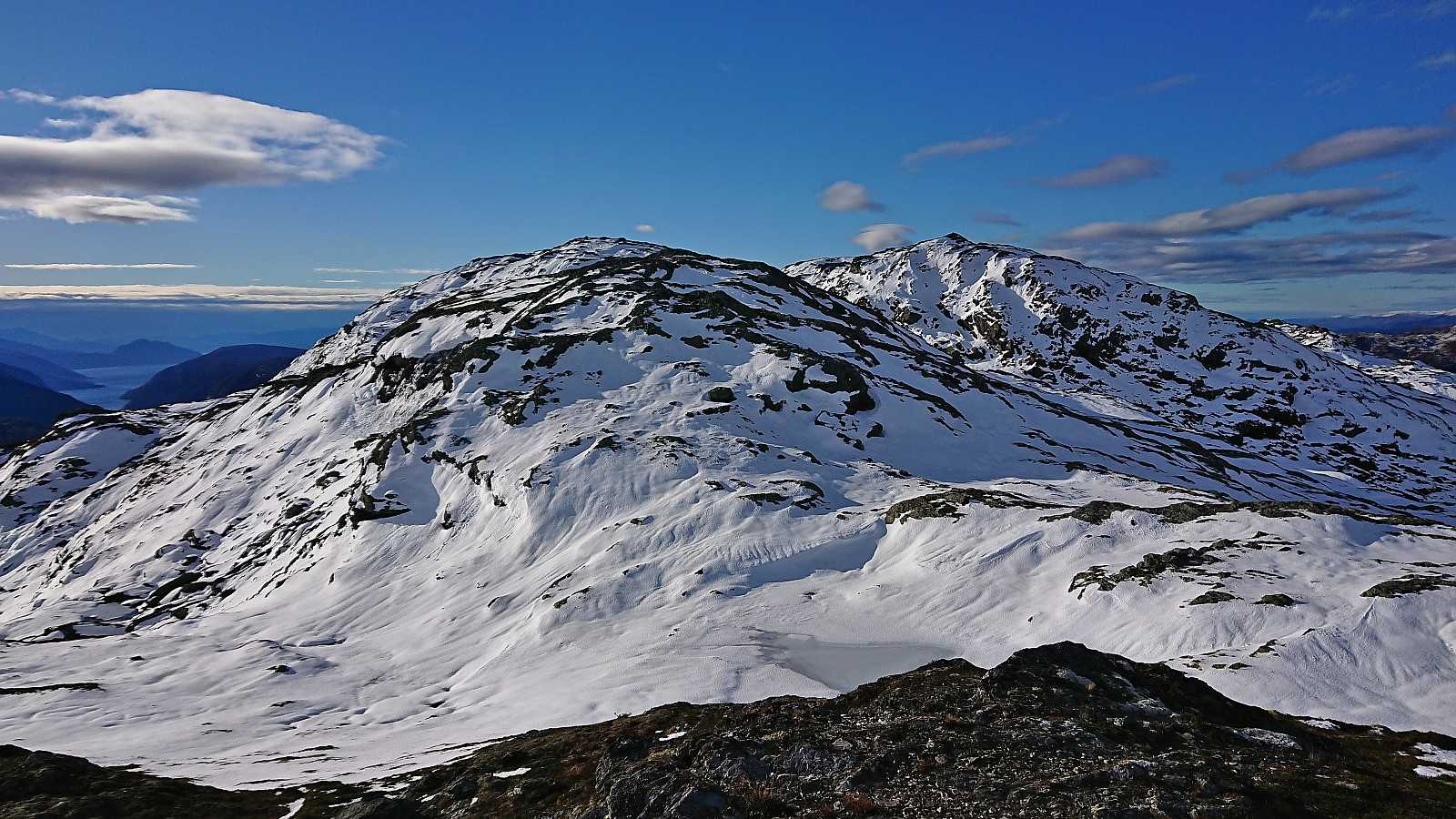
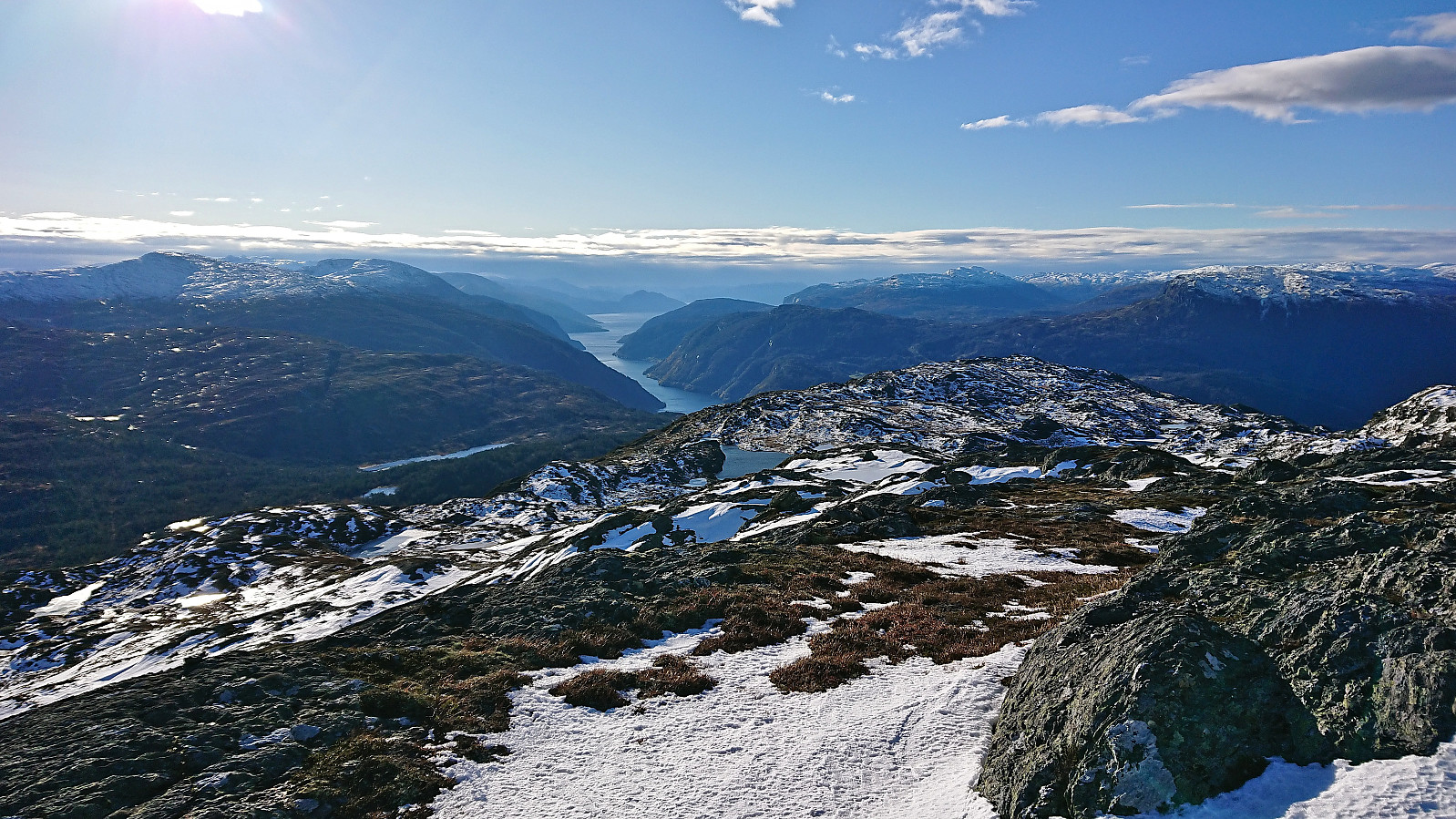
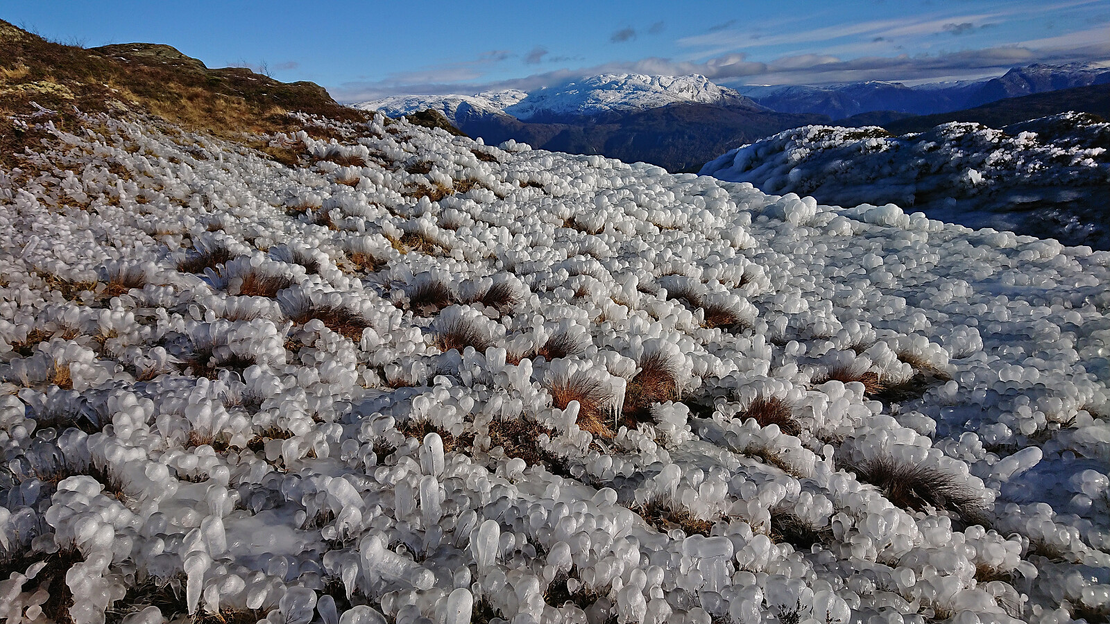
To ascend Kjerringafjellet from the south there is really only one route not requiring climbing and that is via Jonsokbakkane, and even though the snow and ice made it slightly more advanced than usual, it was still relatively straightforward. After this short steep section the summit could then be reached without any further challenges. The remains of the cold easterly wind made me cut my visit short and after a couple of pictures I quickly started my descent along more or less the same route.
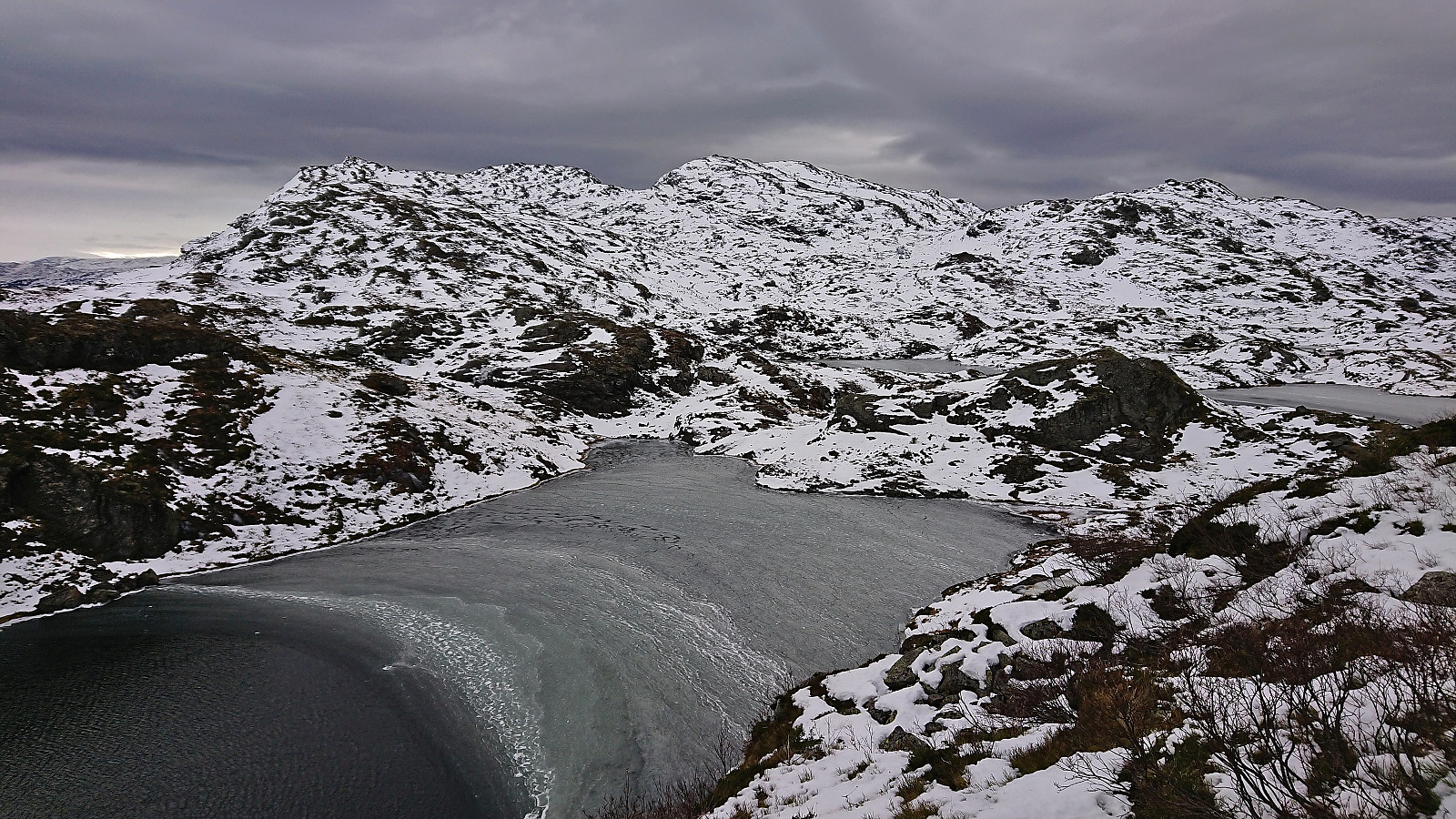
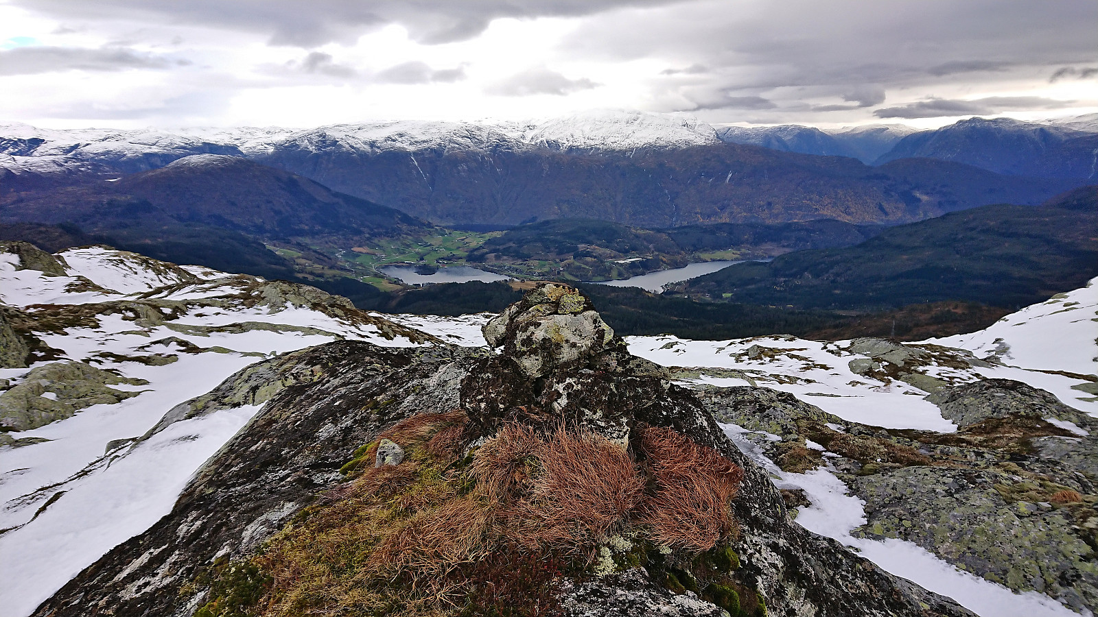
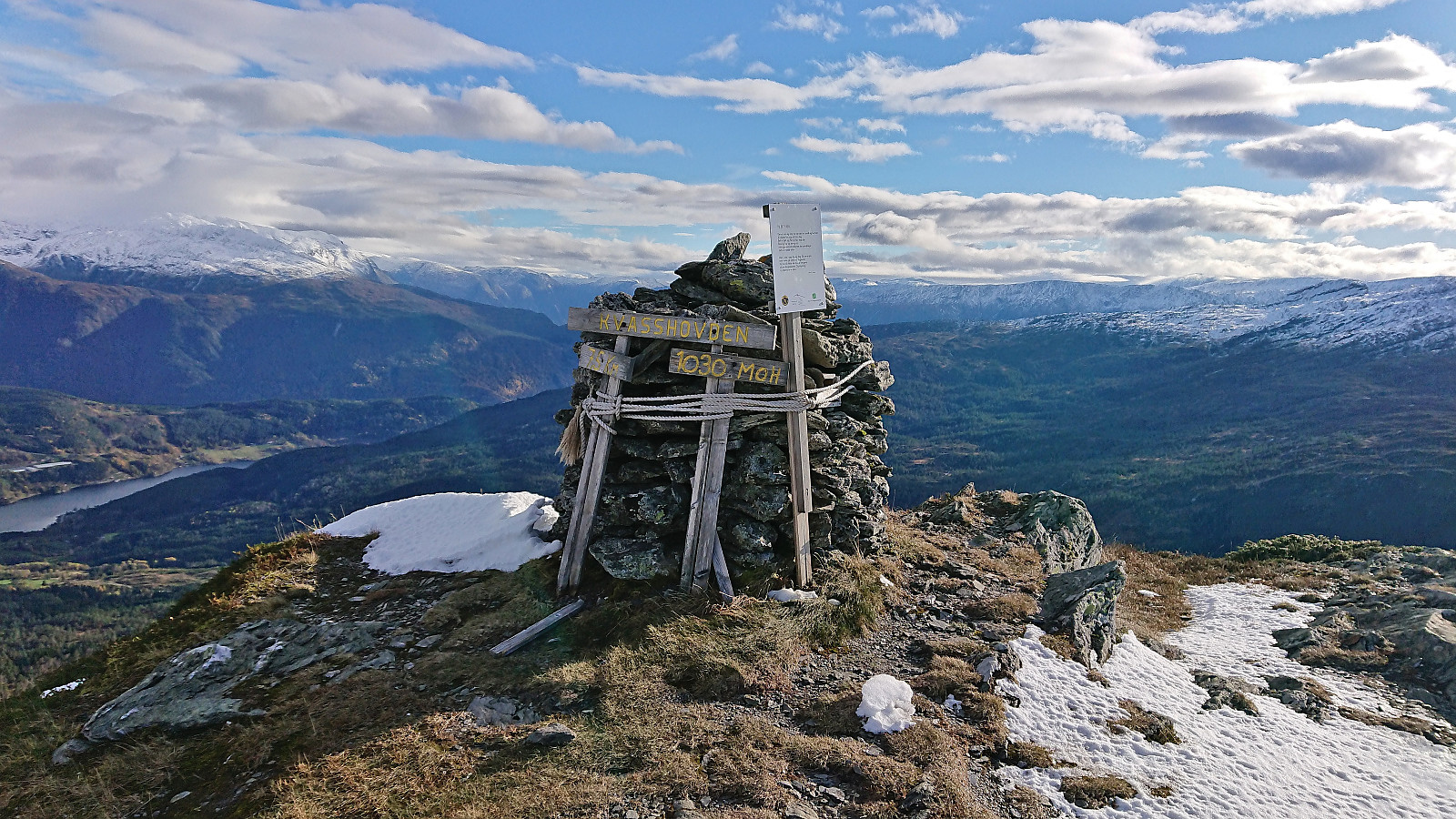
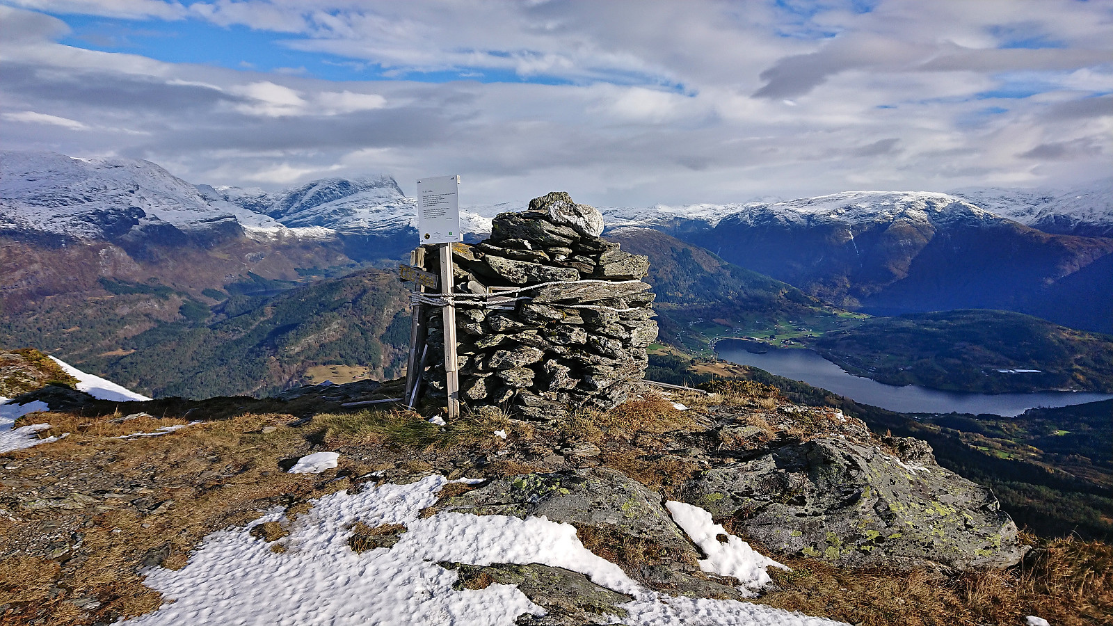
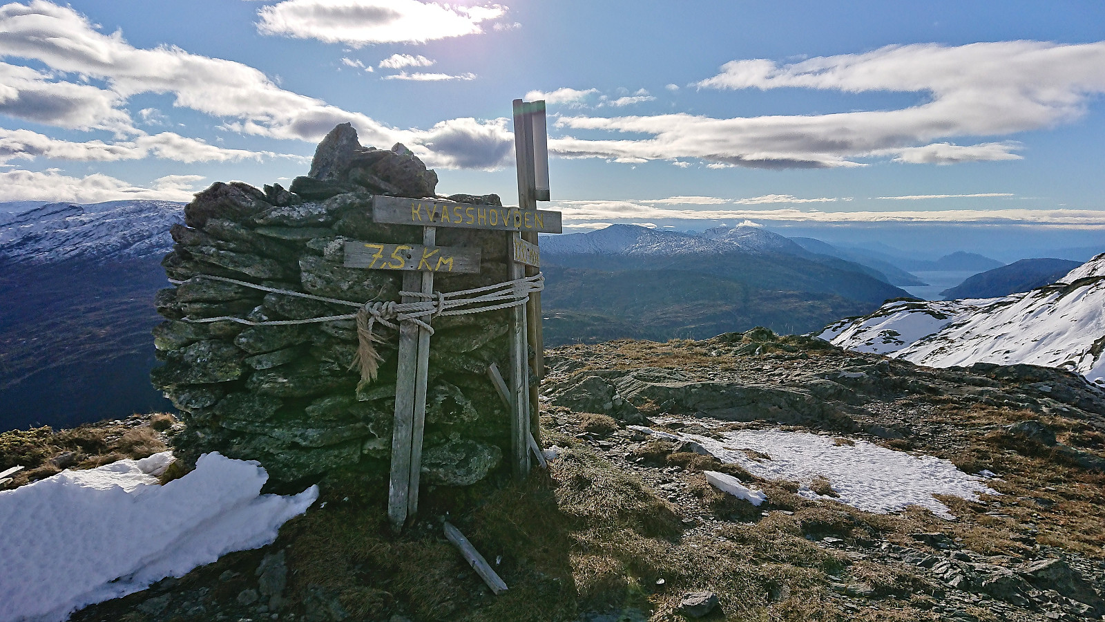
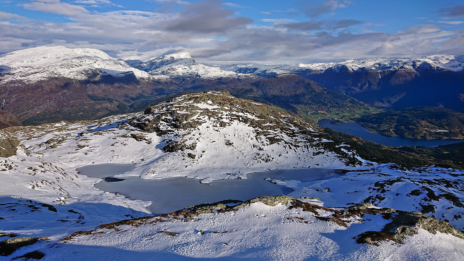
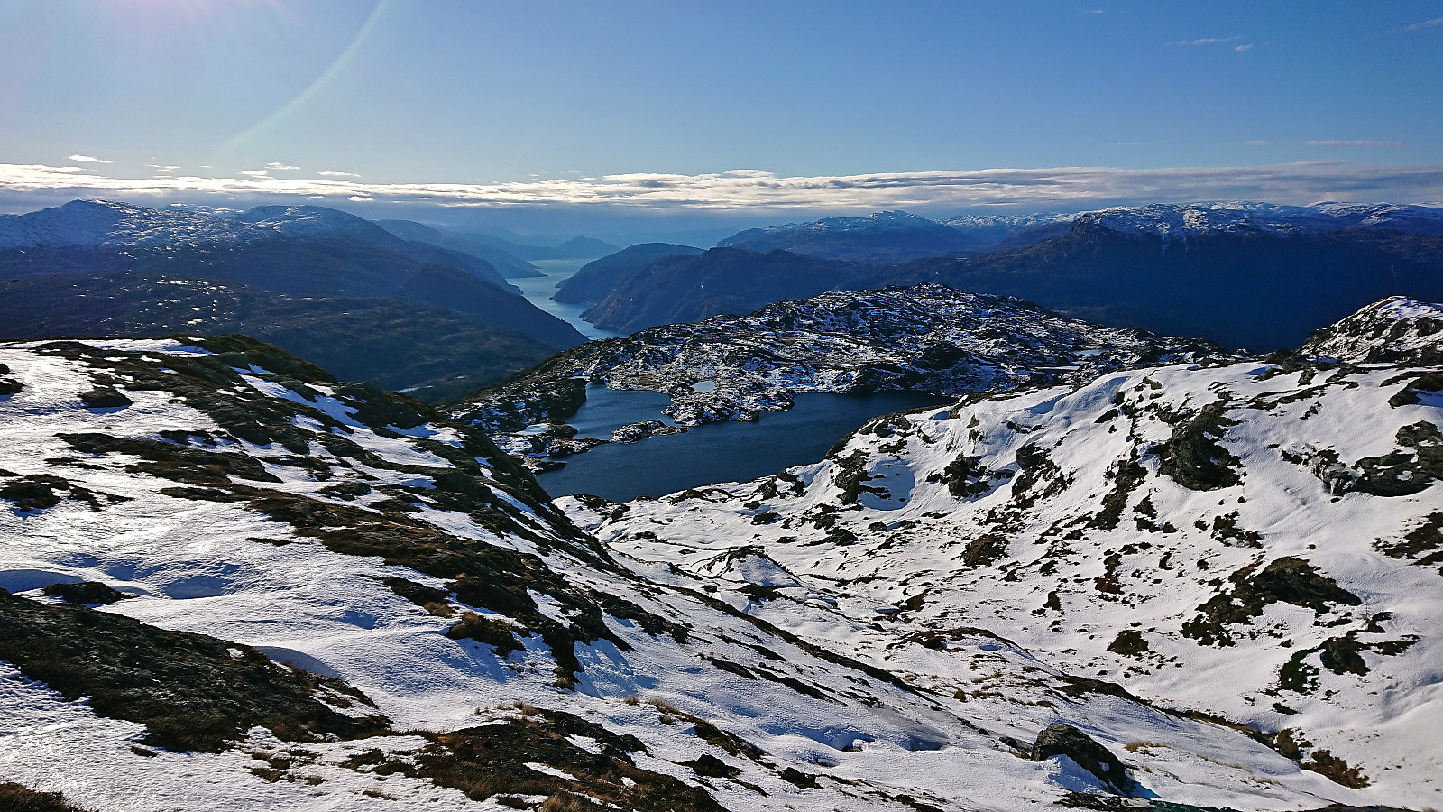
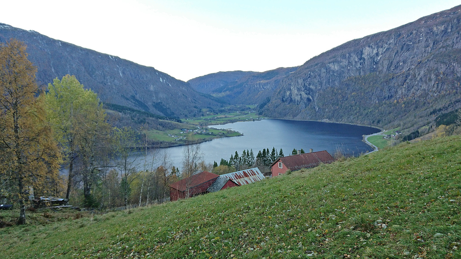
While my next main goal was Kvasshovden, I decided to first visit the large cairn at Kvasshovden. It is located less than 600 meters east of the highest point and is most likely the location most hikers mean when they say they have ascended Kvasshovden. And for good reason, as it provided spectacular views in all directions, perhaps most notably down towards Ulvik.
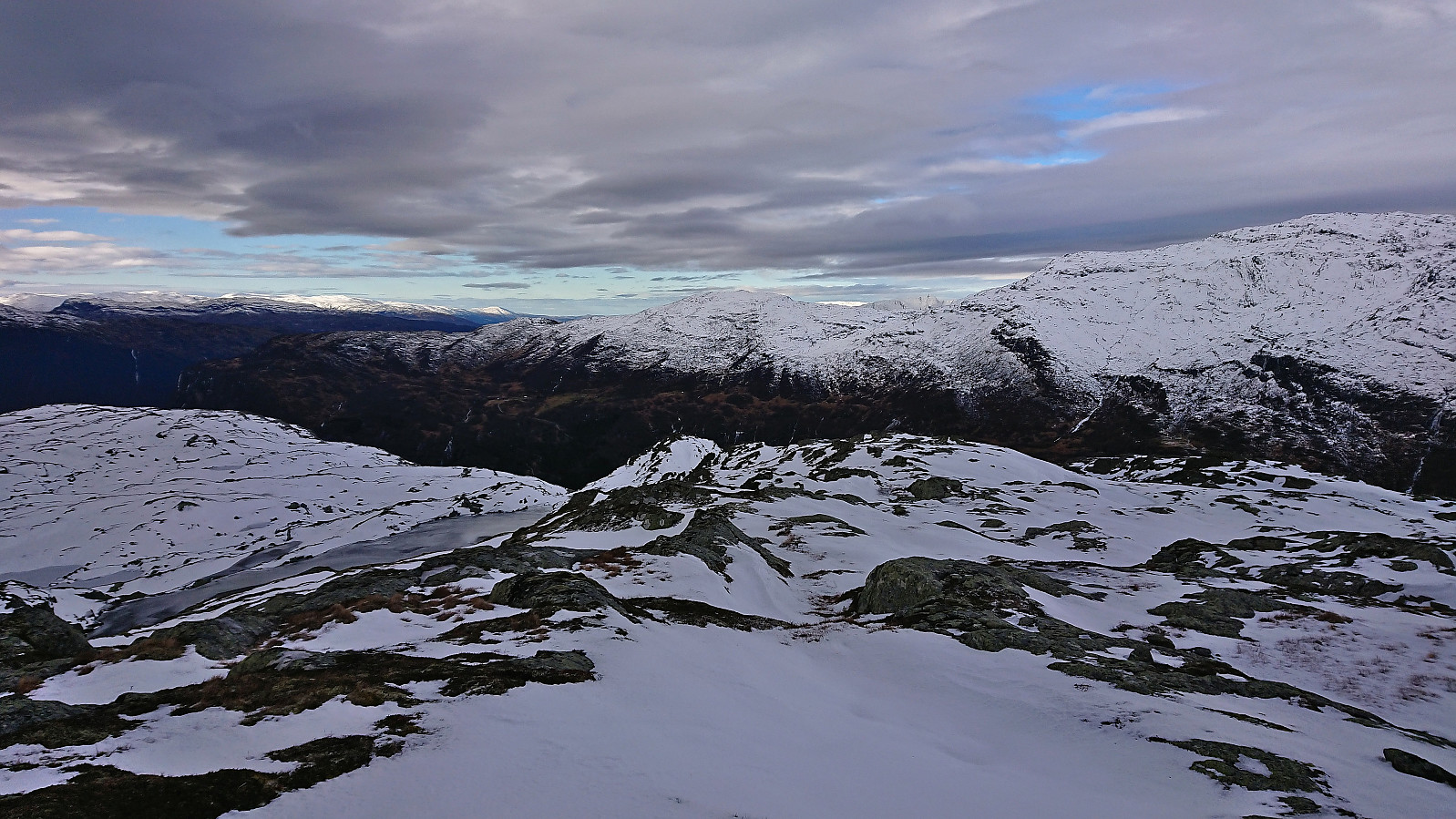
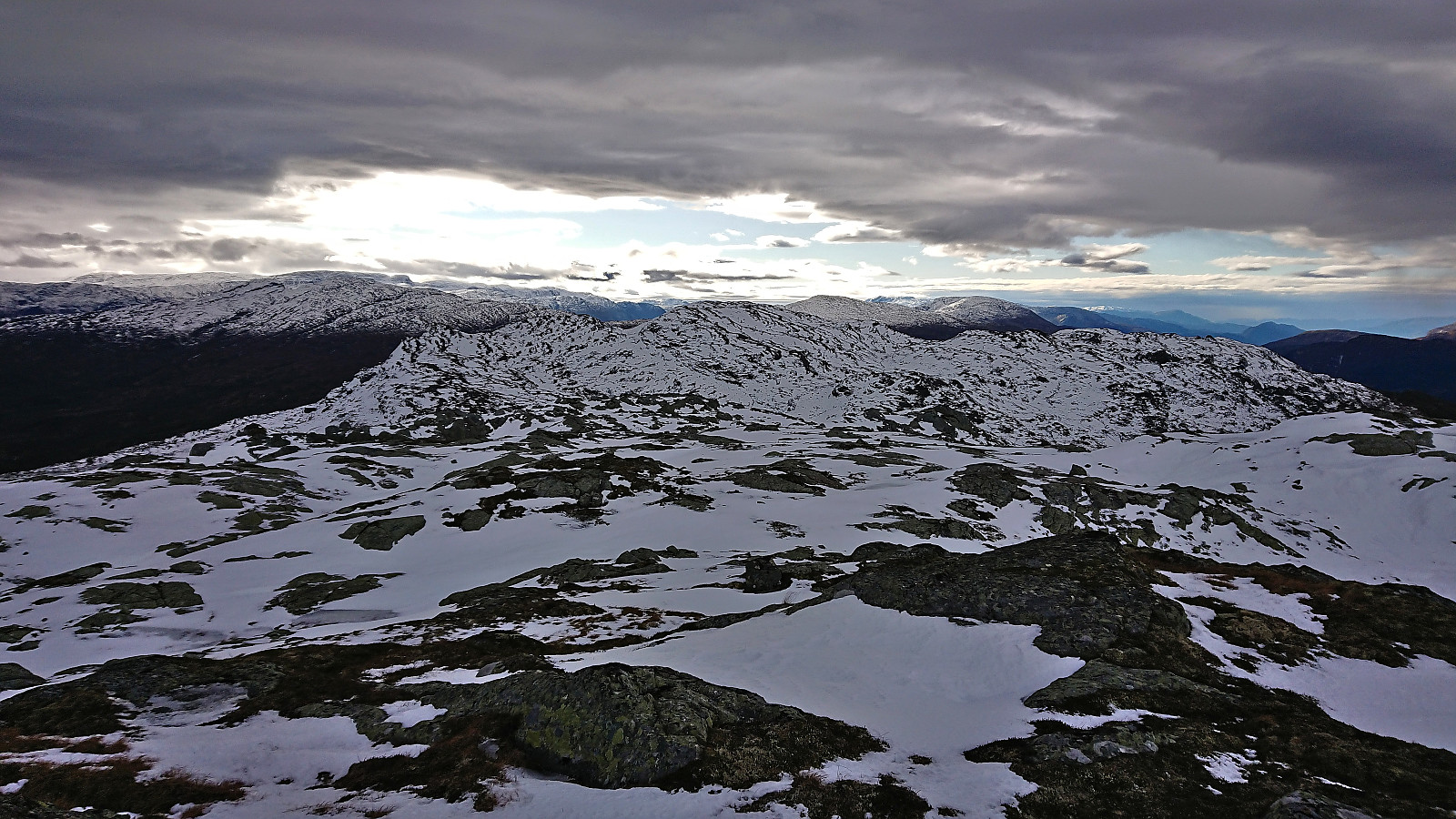
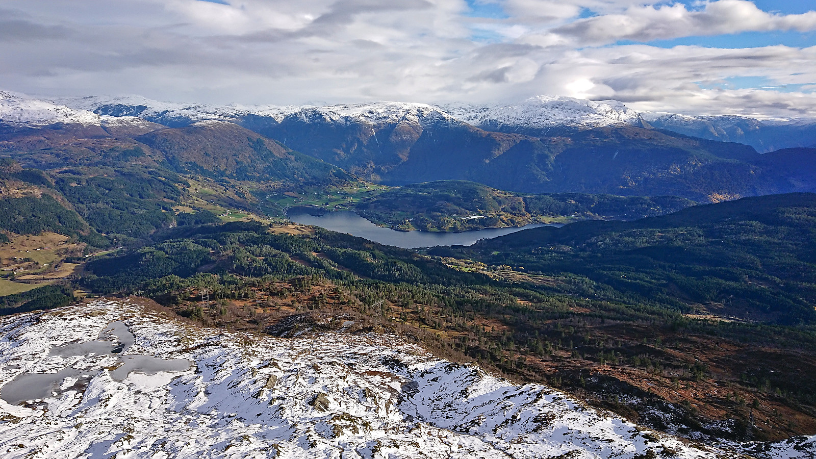
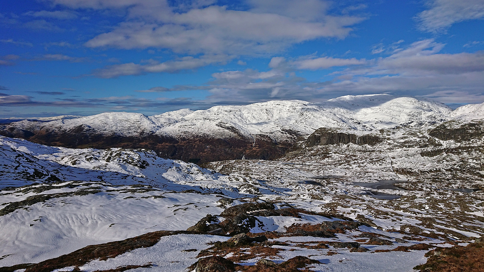
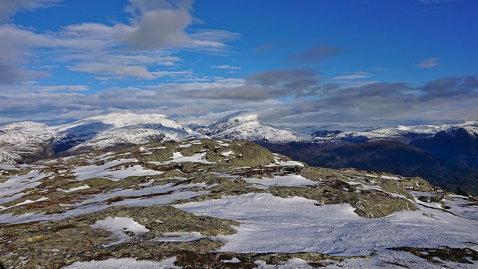
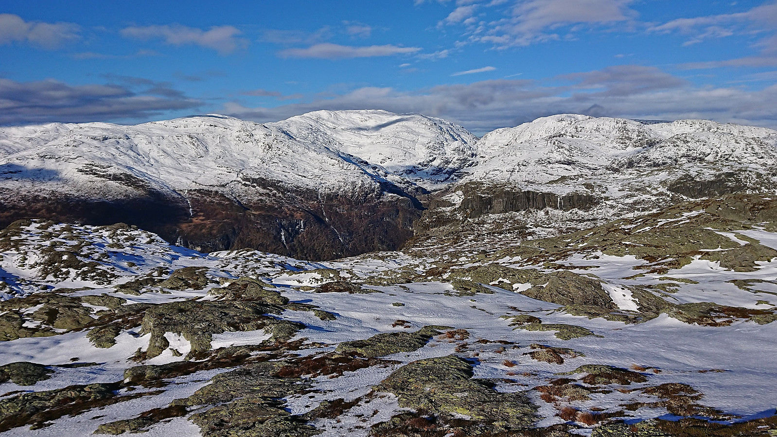
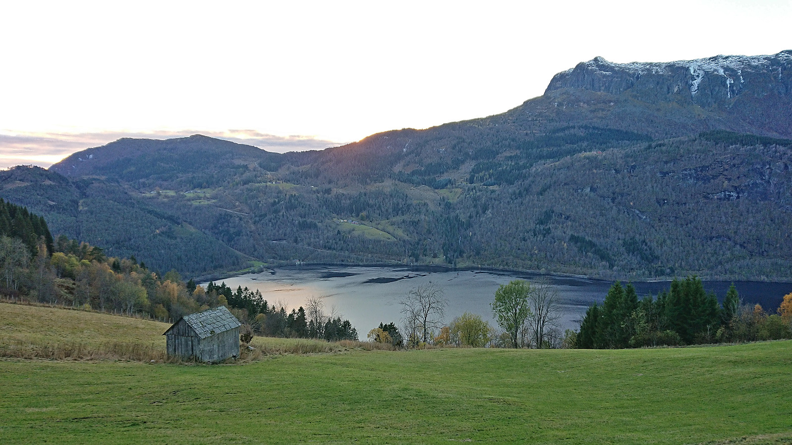
After a short lunch break below the cairn, I completed the final distance to the highest point at Kvasshovden, which also provided excellent views, with now also Granvinsfjorden visible in the distance. Once more the cold wind resulted in a short stay and I quickly started my descent west in the direction of Granvinsvatnet. No trails as far as I could tell until reaching Svortetjørn, but the terrain was overall easy to navigate and did not present any real challenges.
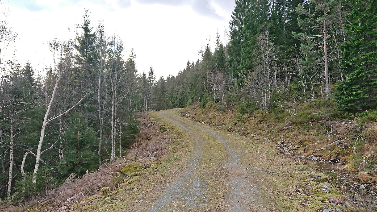
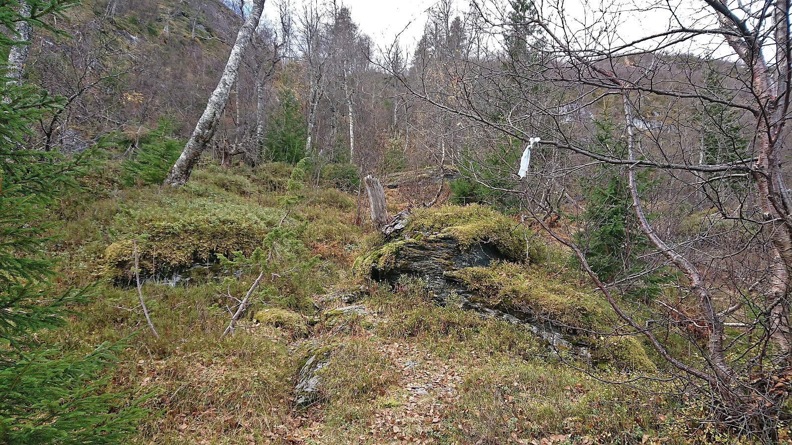
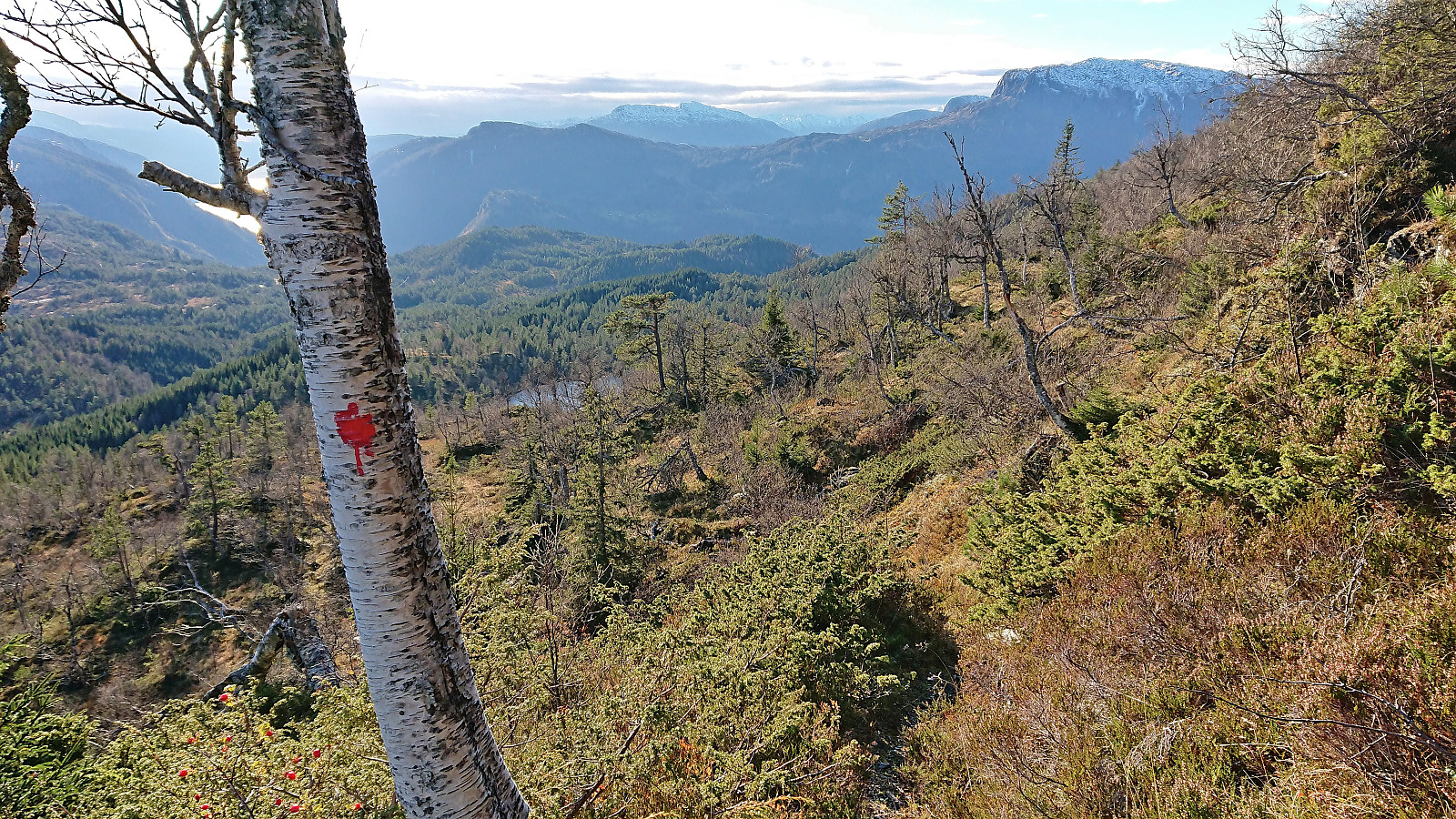
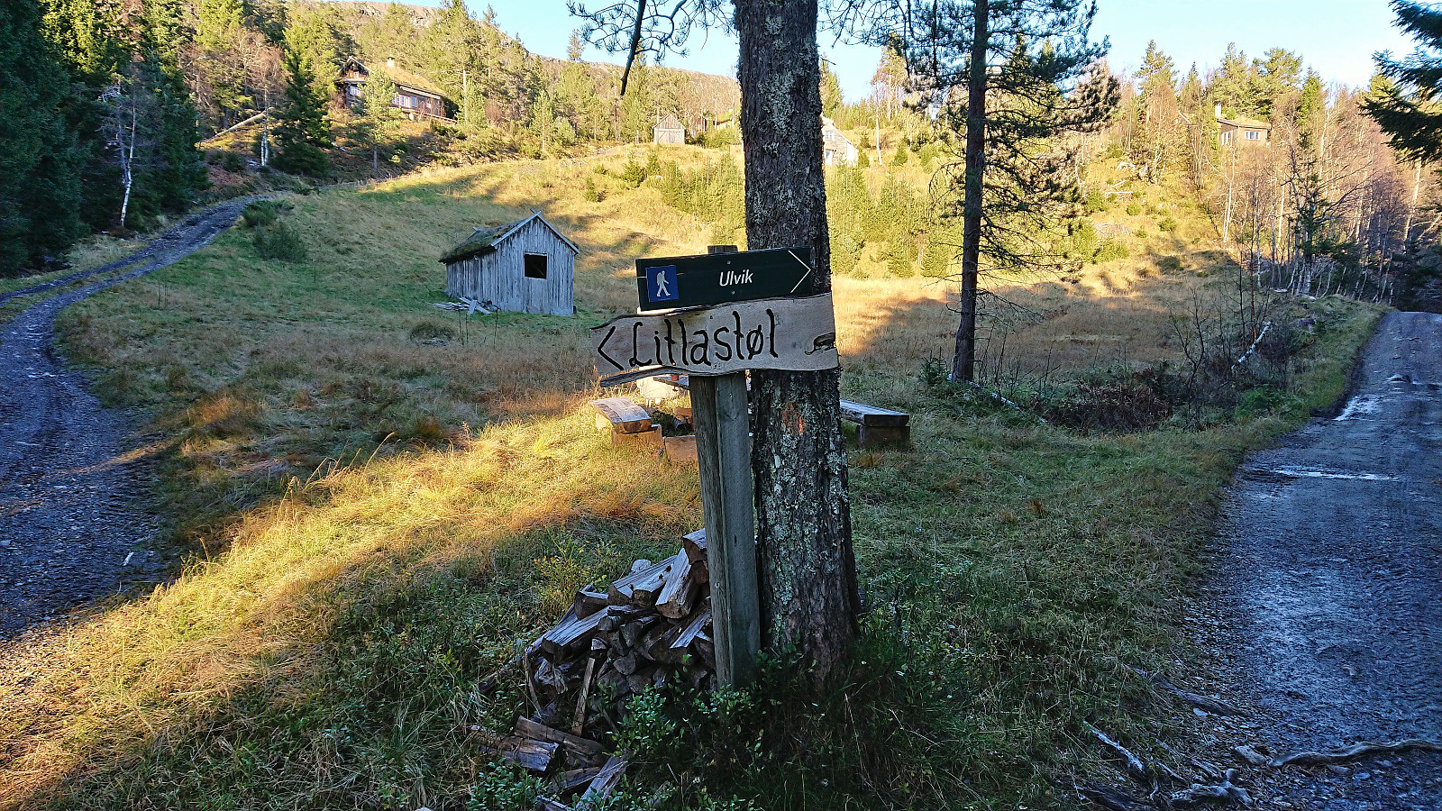
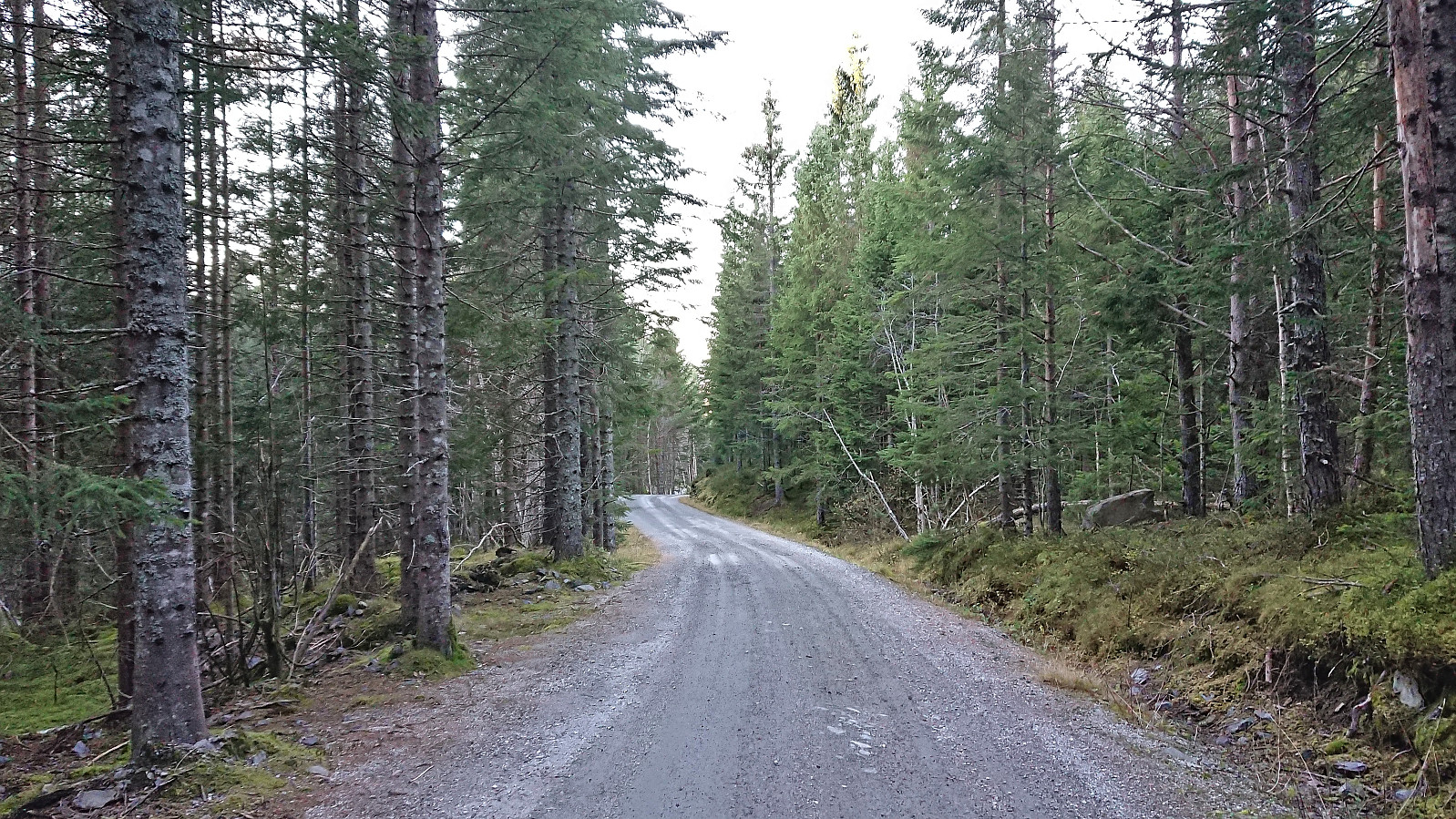
Shortly after Svortetjørn I located the trail indicated on the map, which, despite being marked with old red paint (and the occasional faded plastic ribbon), was often difficult to follow. But whenever I was about to give up I always spotted another marker. The trail however deviated from the map. So when I finally could not find the next marker, I simply headed off-trail in the direction of the trail on the map. But just minutes later I again came across lots of red markers and from there on it was easy to follow these all the way to Litlastøl. From Litlastøl I continued on a rough tractor road west which later turned into a gravel road that I proceeded to follow northwest to the main road at Trå from where I took the bus back to Voss and the train (and bus-for-train from Arna) to Bergen.
In summary, an excellent hike with spectacular views that can be very highly recommended!
| Startzeitpunkt | 22.10.2023 10:50 (UTC+01:00 SZ) |
| Endzeitpunkt | 22.10.2023 17:57 (UTC+01:00 SZ) |
| Gesamtzeit | 7h 06min |
| Zeit in Bewegung | 6h 00min |
| Pausenzeit | 1h 06min |
| Gesamtschnitt | 2,5km/h |
| Bewegungsschnitt | 2,9km/h |
| Entfernung | 17,6km |
| Höhenmeter | 1.077m |

Benutzerkommentare