Sundagsfjellet, Fridalsnova and Vest for Vestrebotn (26.08.2023)

| Startsted | Heimdal p-plass (155moh) |
|---|---|
| Sluttsted | Heimdal p-plass (155moh) |
| Turtype | Fjelltur |
| Turlengde | 11t 26min |
| Distanse | 25,9km |
| Høydemeter | 1644m |
| GPS |
|
| Bestigninger | Fridalsnova (1198moh) | 26.08.2023 |
|---|---|---|
| Sundagsfjellet (1257moh) | 26.08.2023 | |
| Vest for Vestrebotn (1182moh) | 26.08.2023 | |
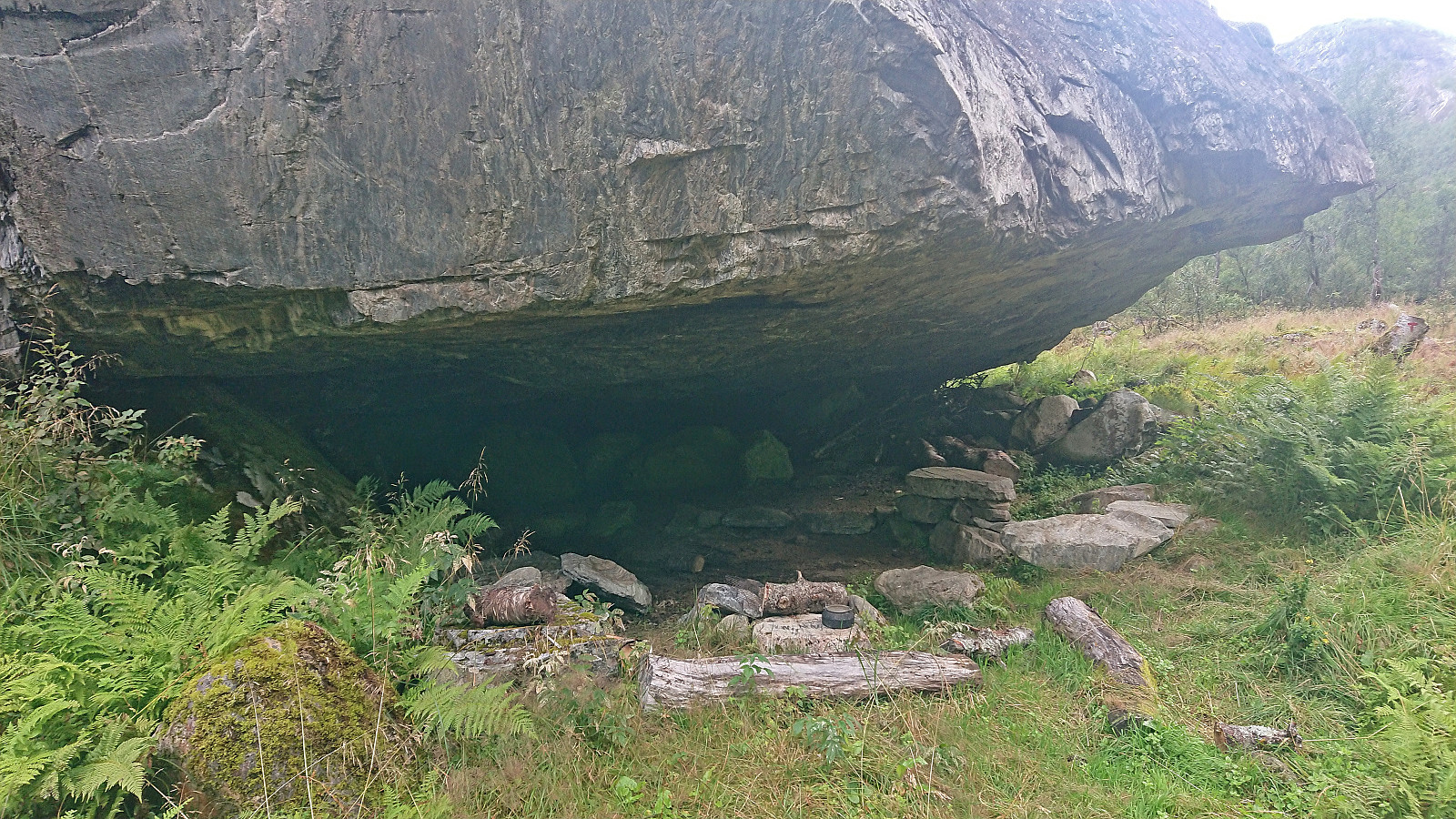
| Andre besøkte PBE'er | Heimdal p-plass (155moh) | 26.08.2023 |
| Tjuvhelleren (364moh) | 26.08.2023 |
Sundagsfjellet, Fridalsnova and Vest for Vestrebotn
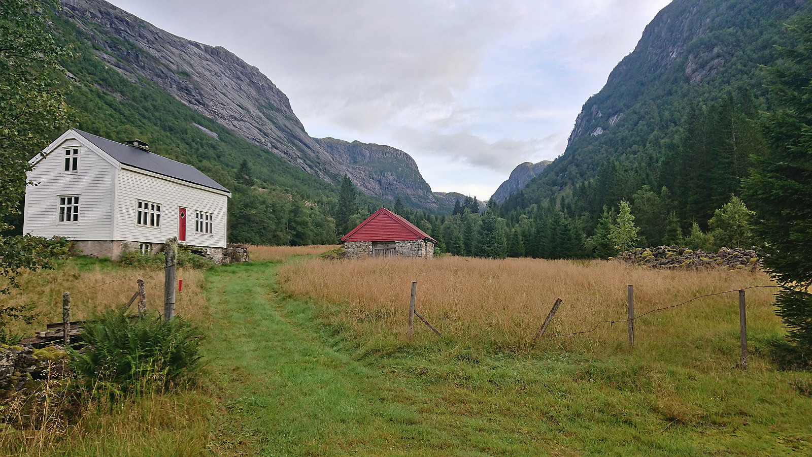
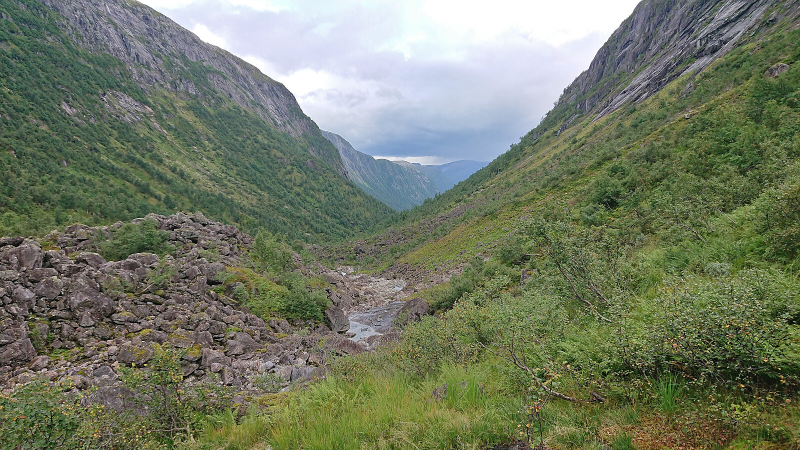
A return to Modalen with Petter to visit the final two peaks he had not yet visited in Nordhordland. Petter picked me up at my place at 06:30 and after around 1.5 hours of driving we parked at the small parking lot in Heimdal and were soon ready to begin our hike up Norddalen.
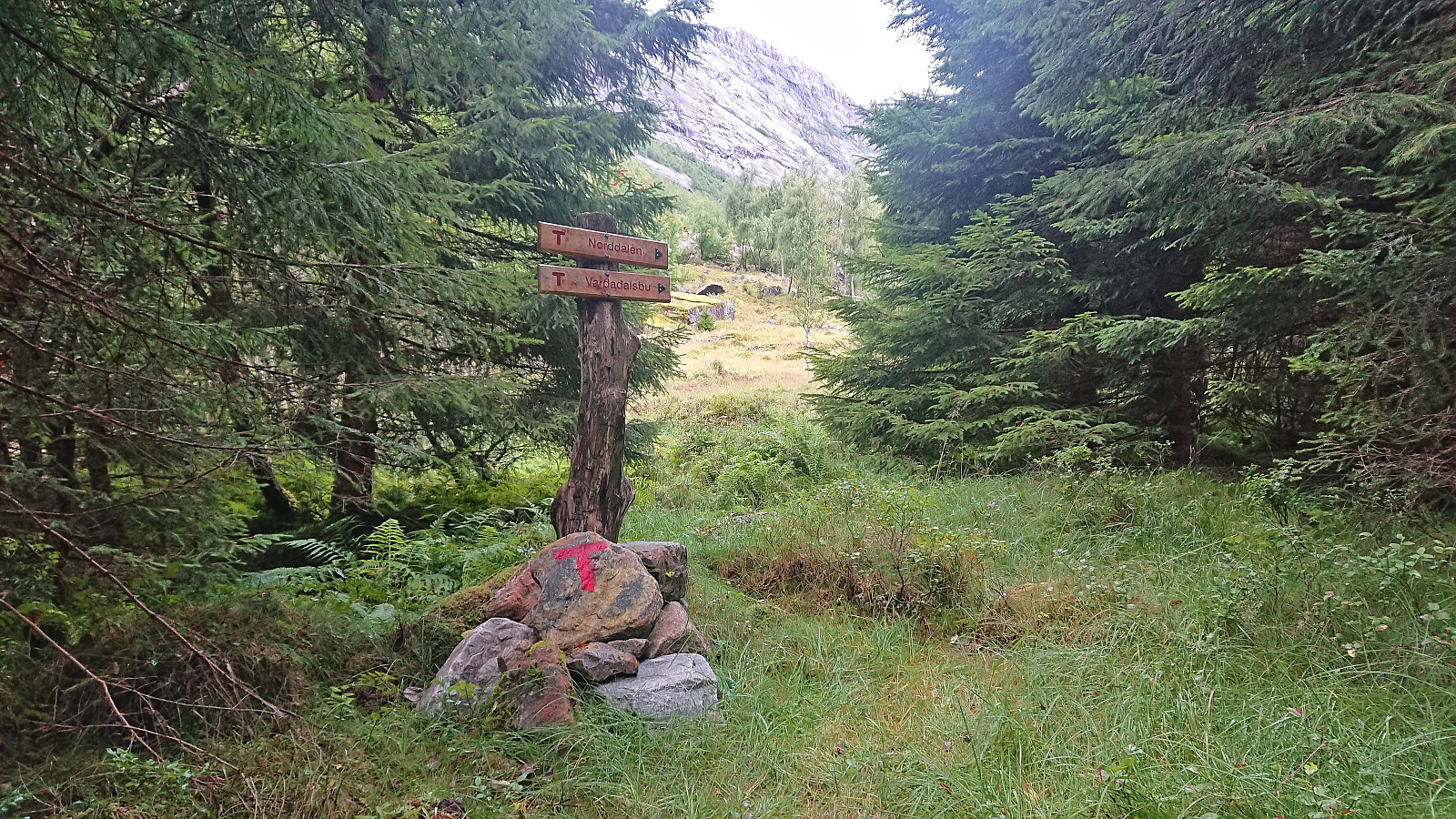
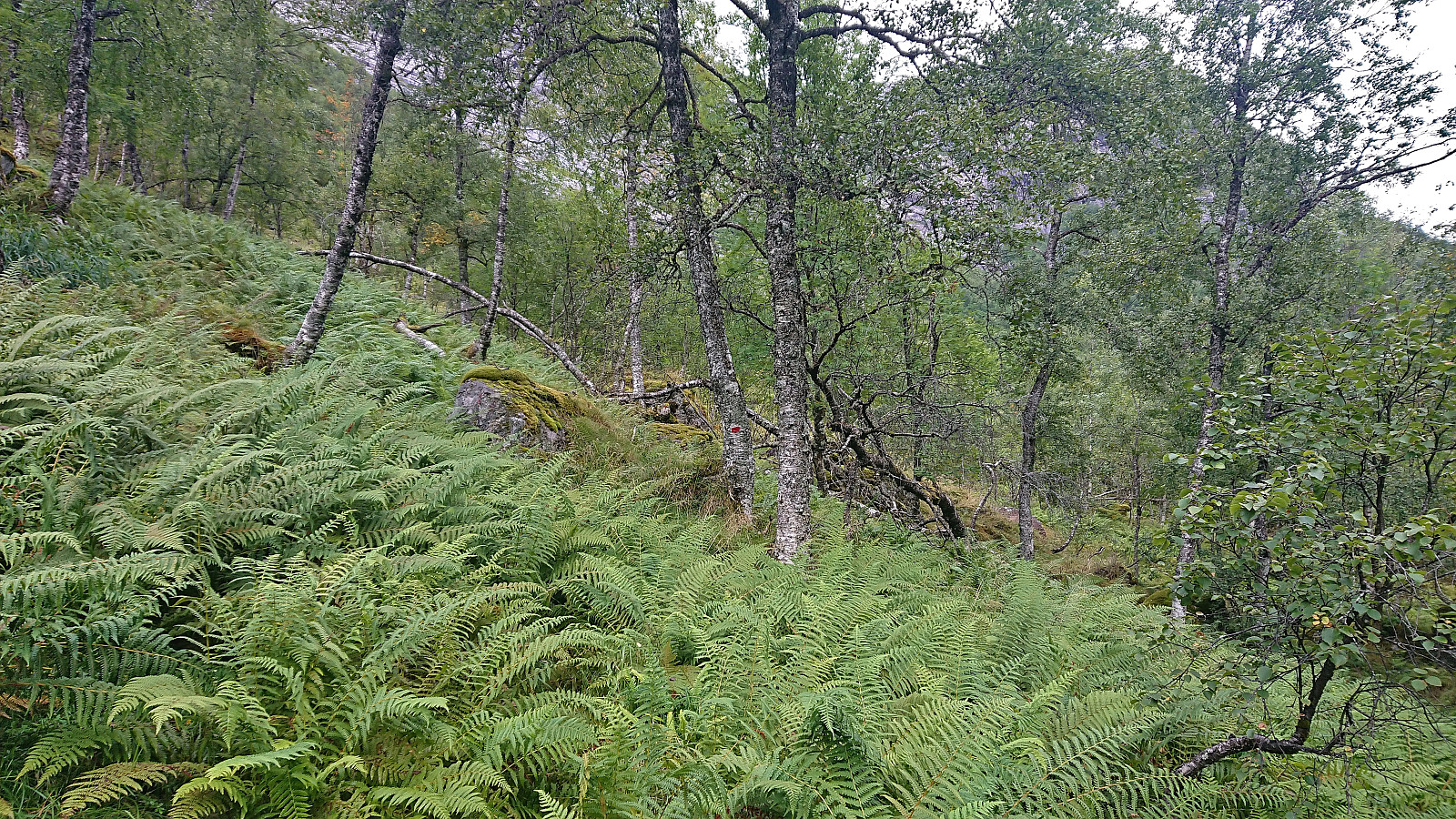
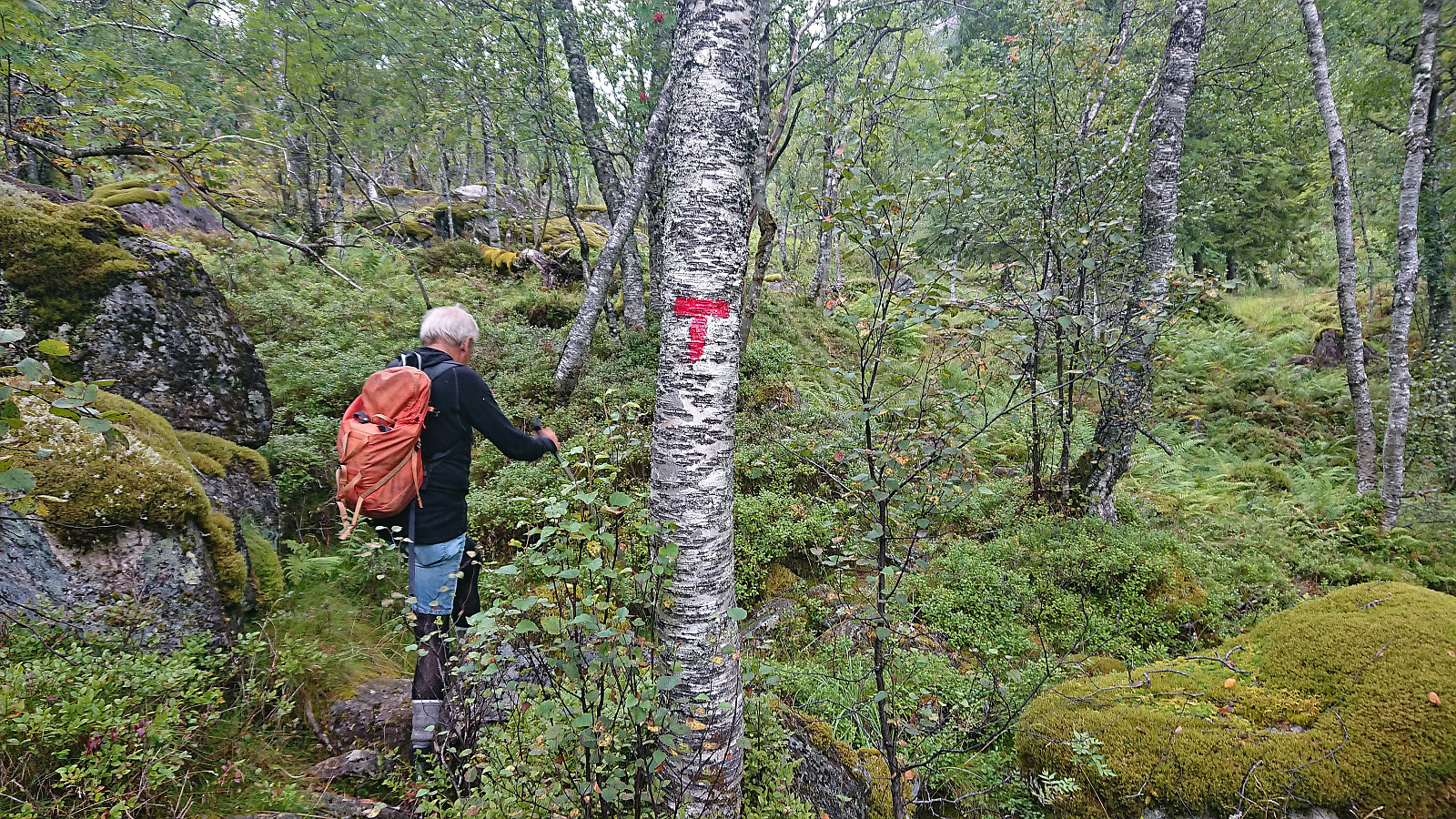
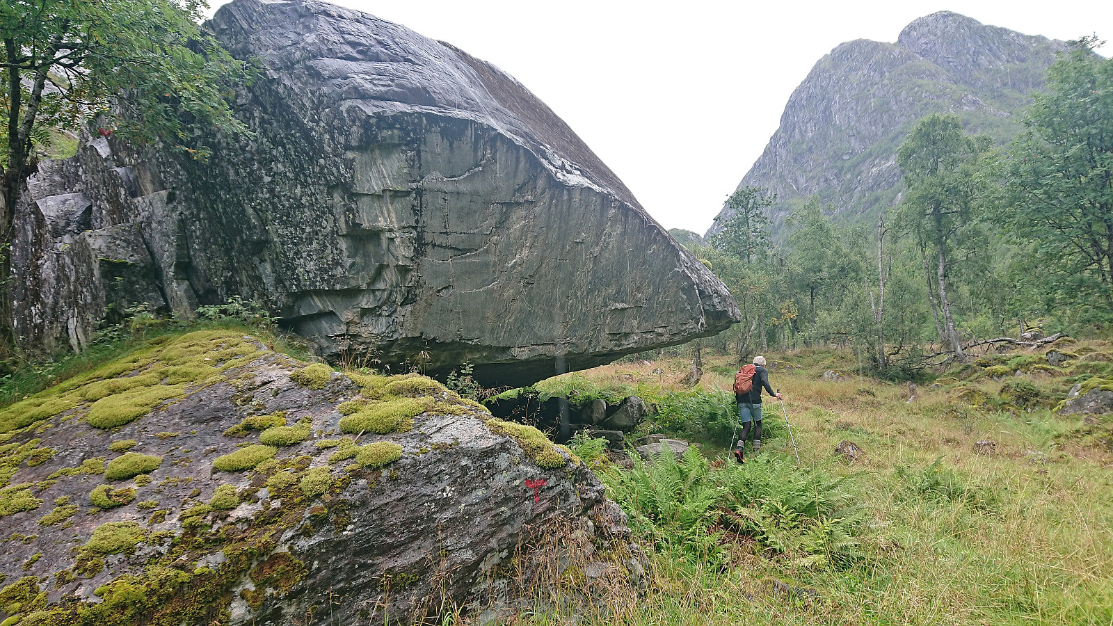
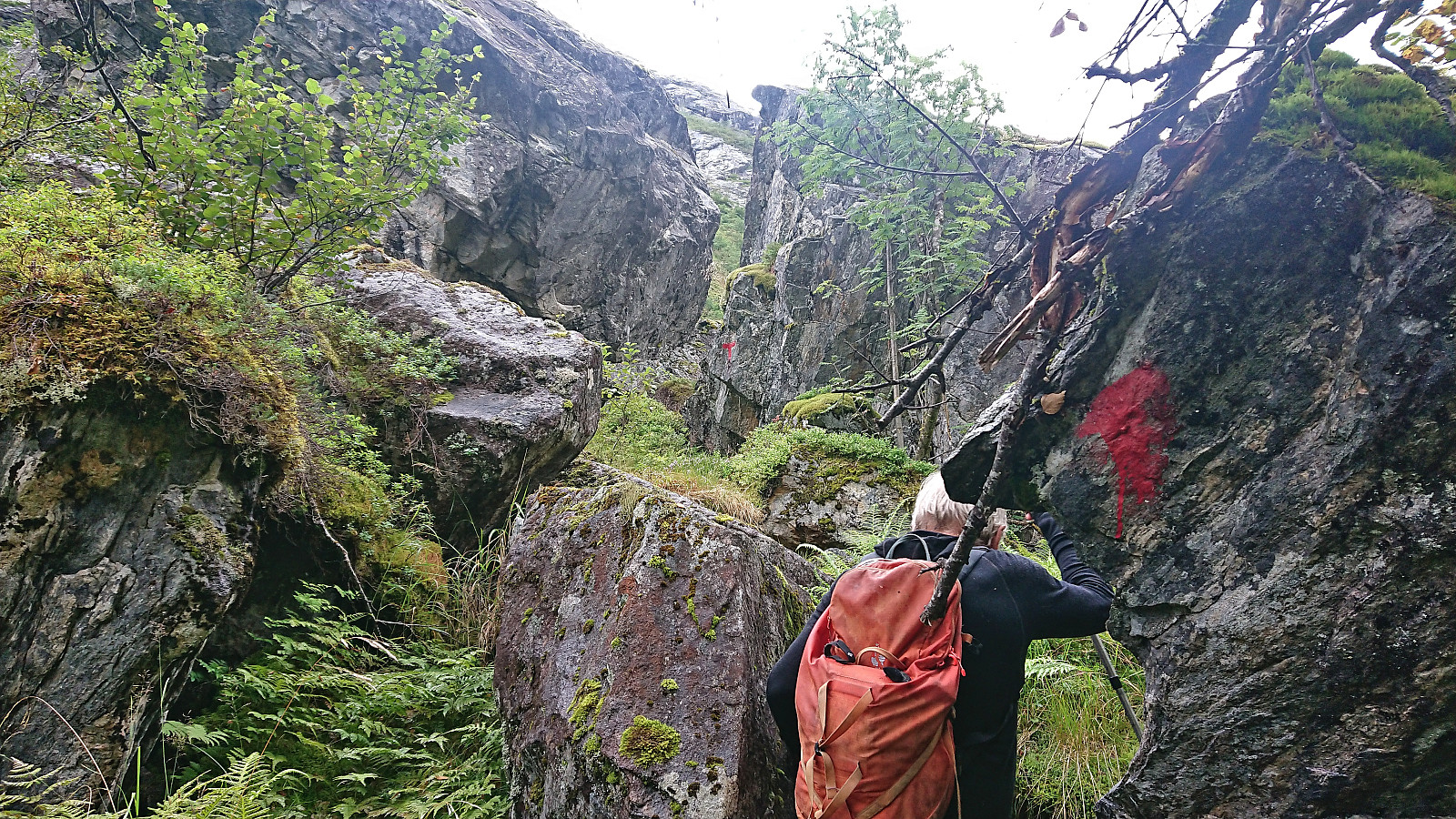
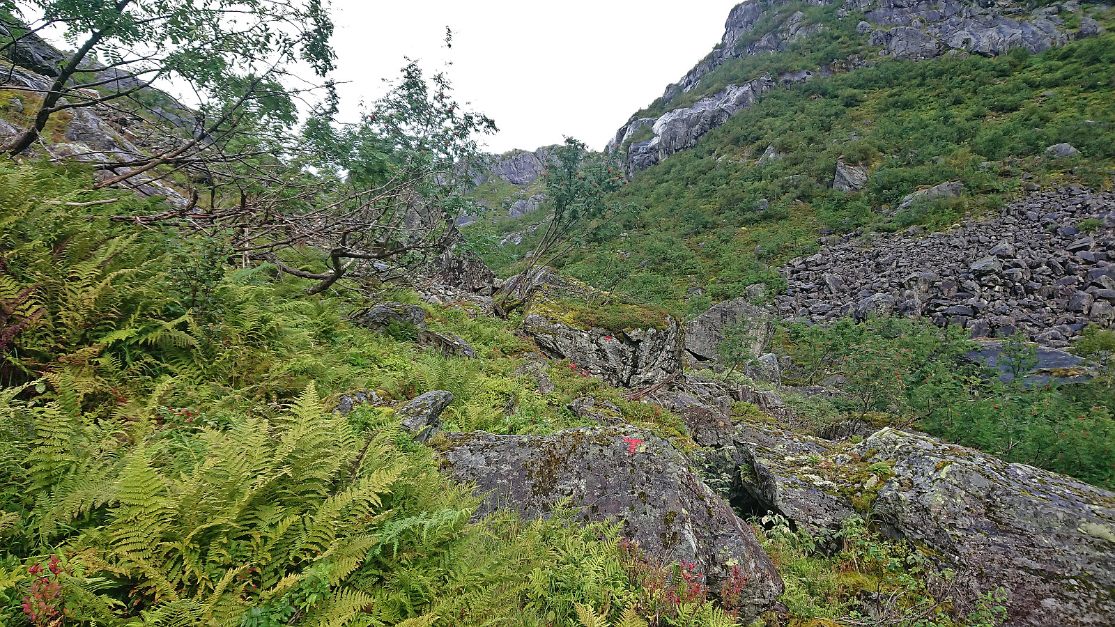
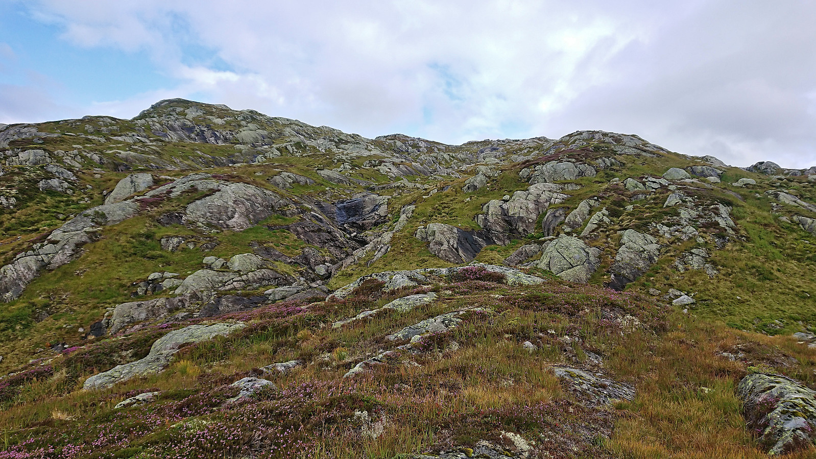
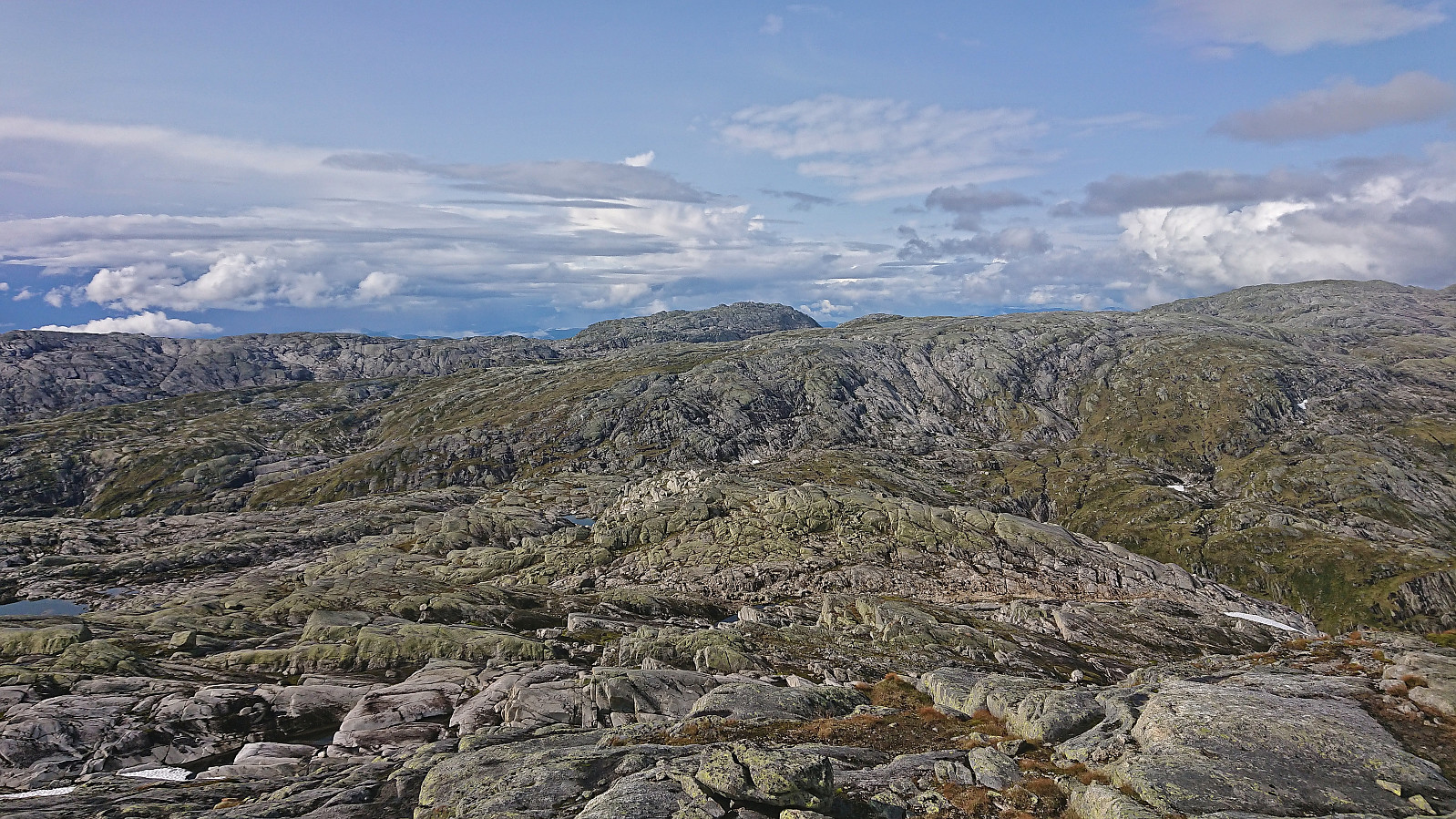
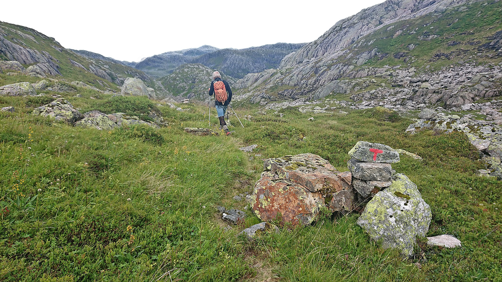
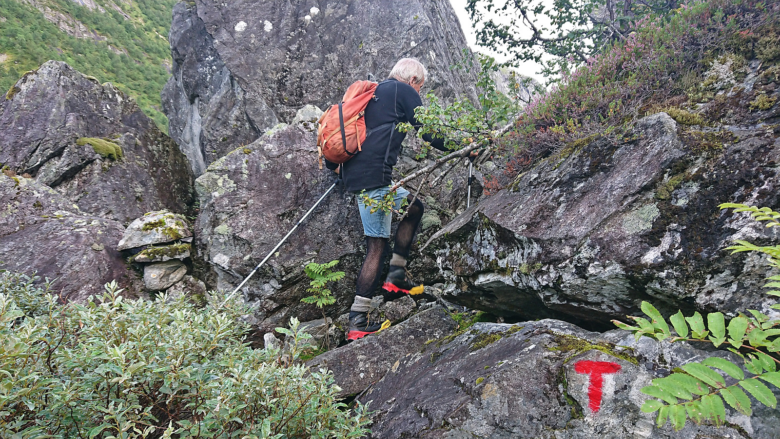
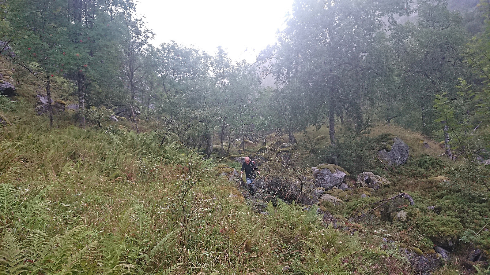
In Norddalen there is a trail marked with red T's, however both the trail and the trail markers were often difficult to spot and we ended up losing the trail a couple of times. But given that the main direction was pretty obvious, i.e. head up the valley, this was not a big problem. The wet surfaces and the many slippery rocks however provided more of a challenge and meant that we had to proceed with care. Note that trying to follow the markers is still very much recommended as there were several maze-like passages in between large boulders where the markers came in very handy.
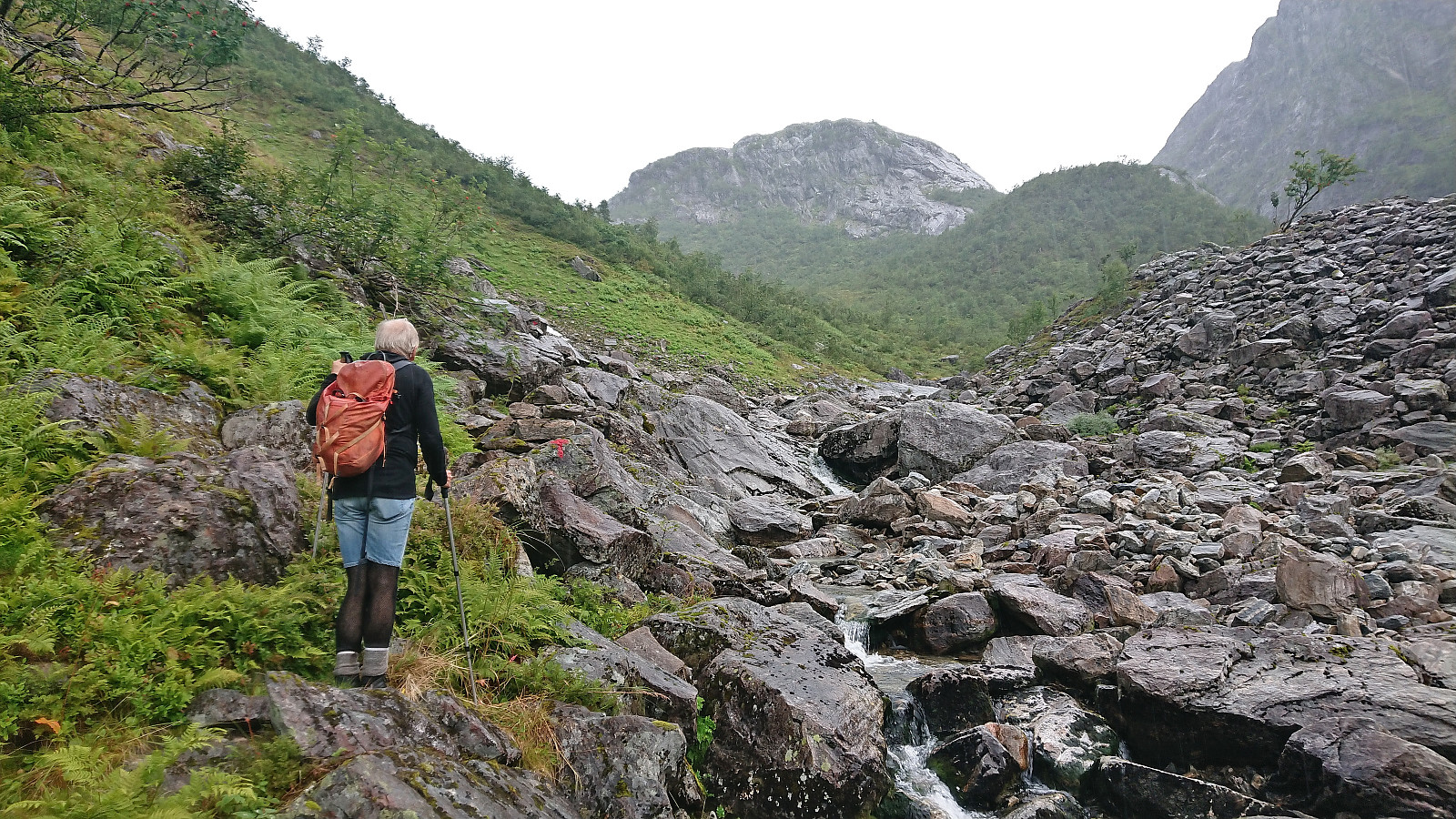
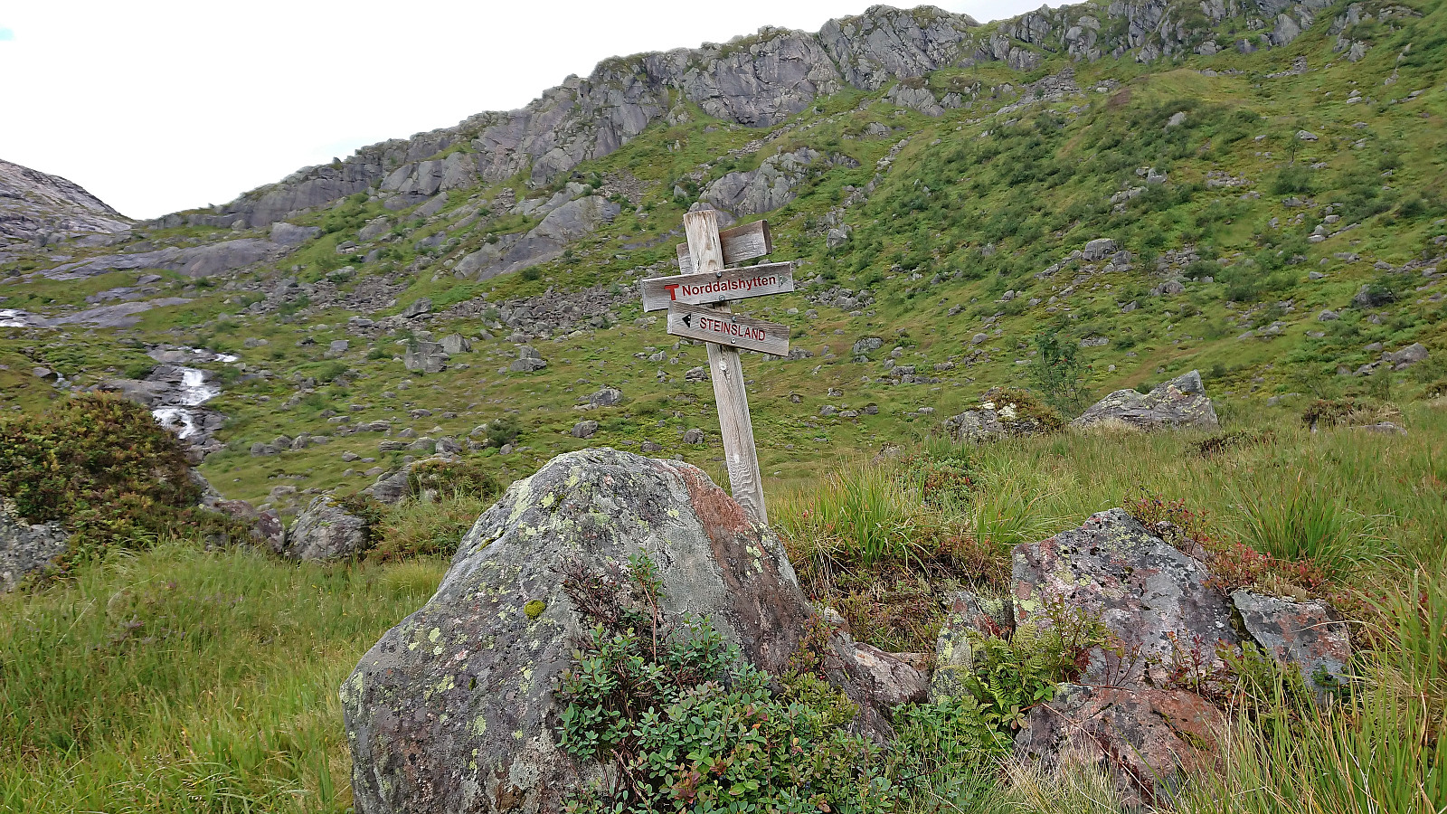
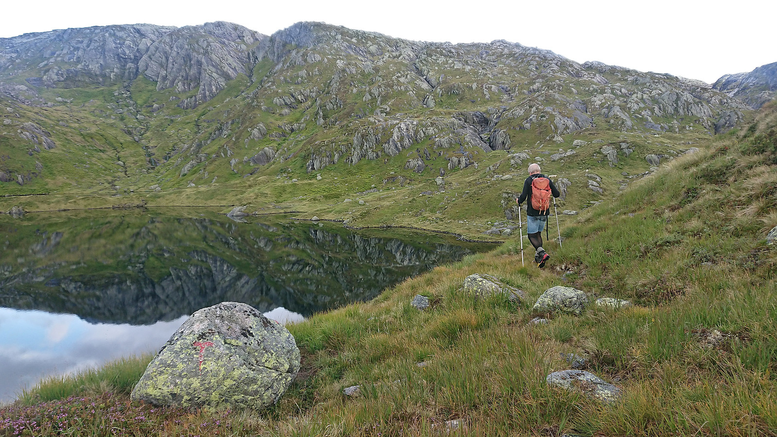
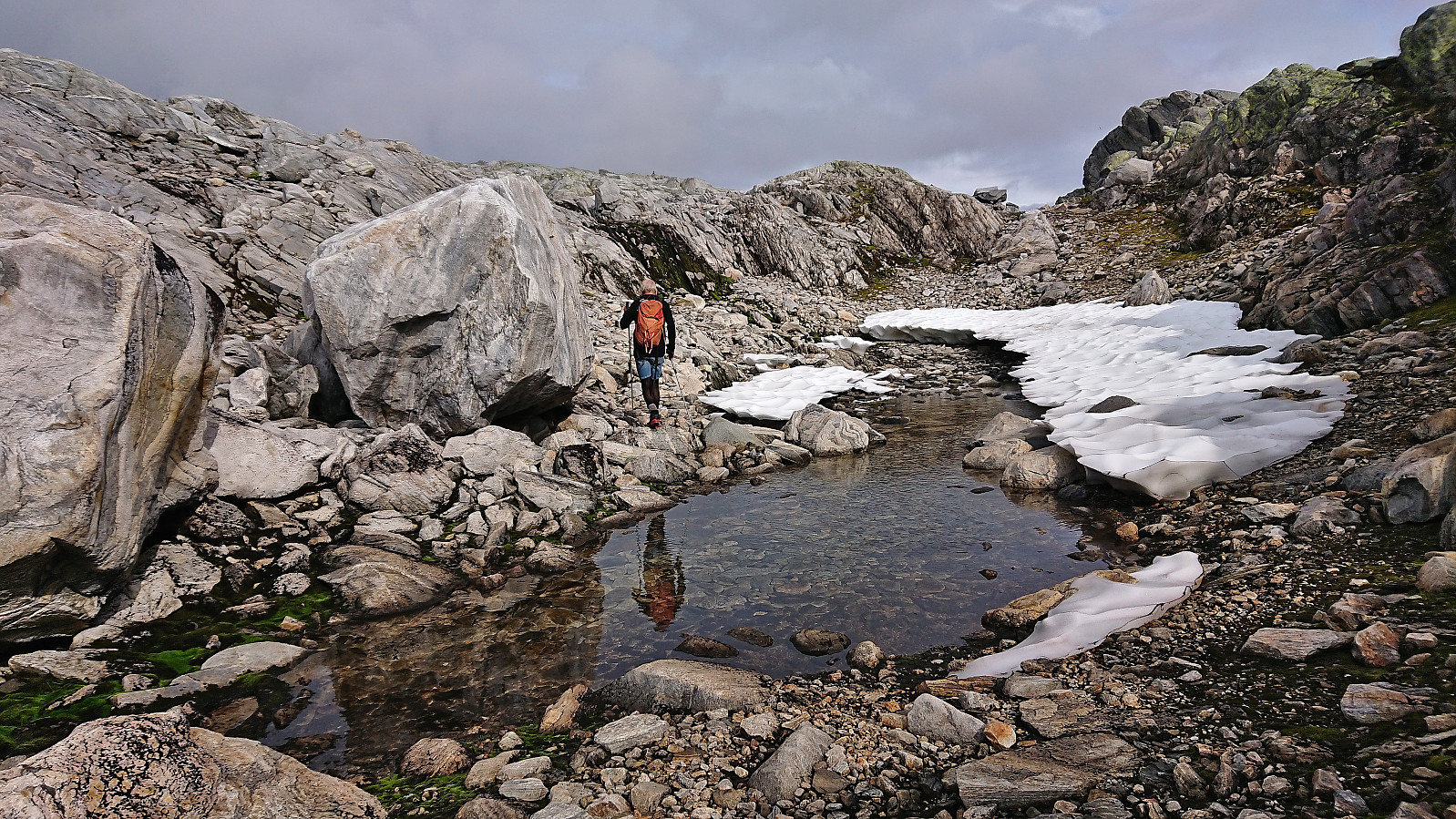
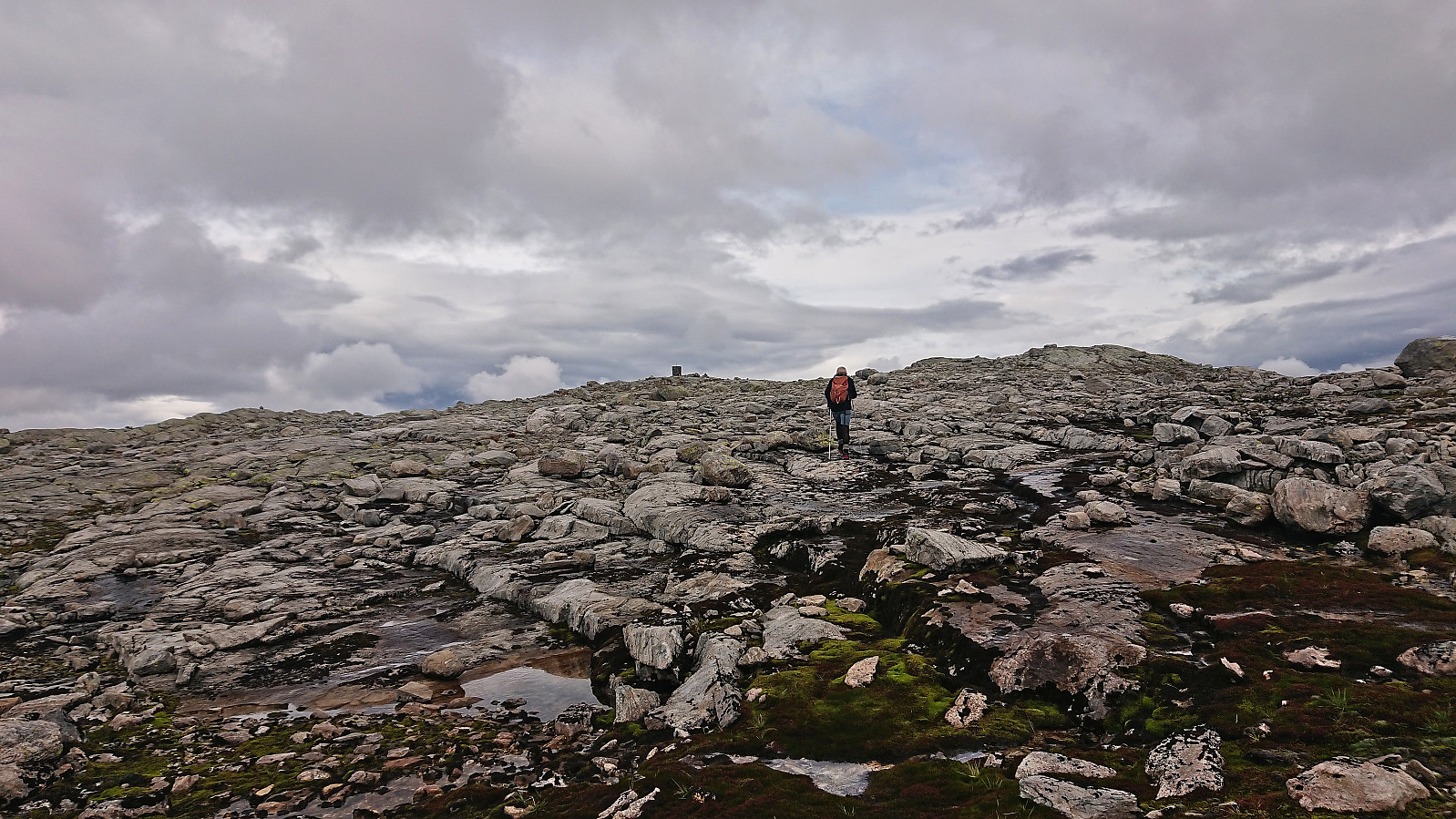
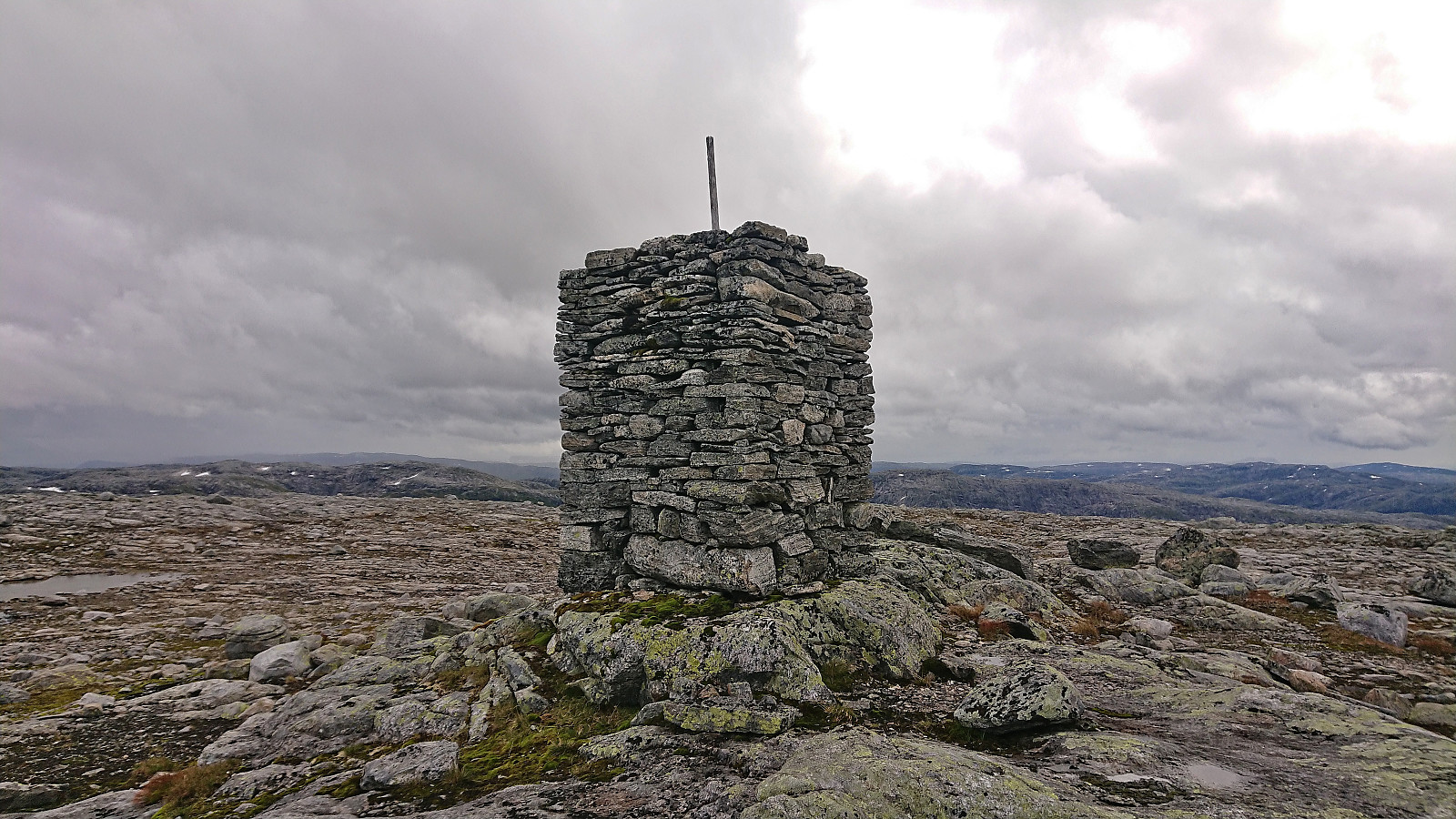
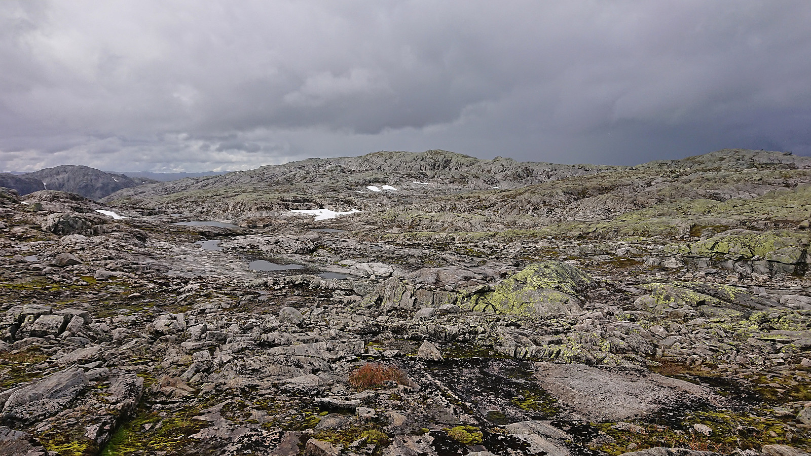
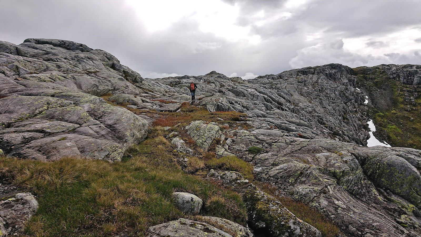
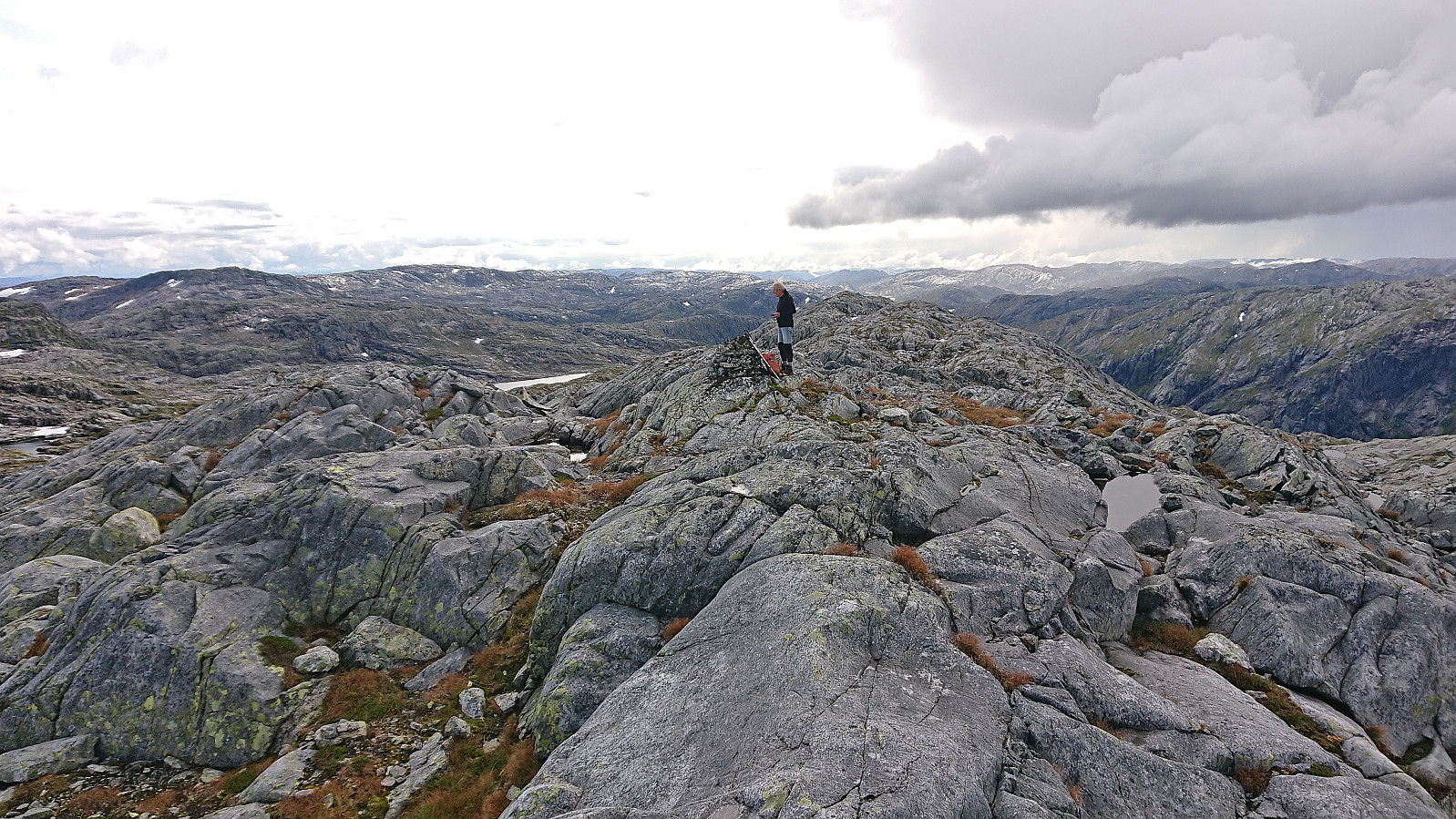
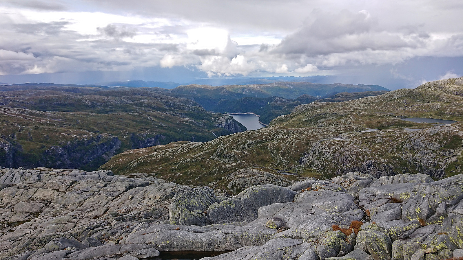
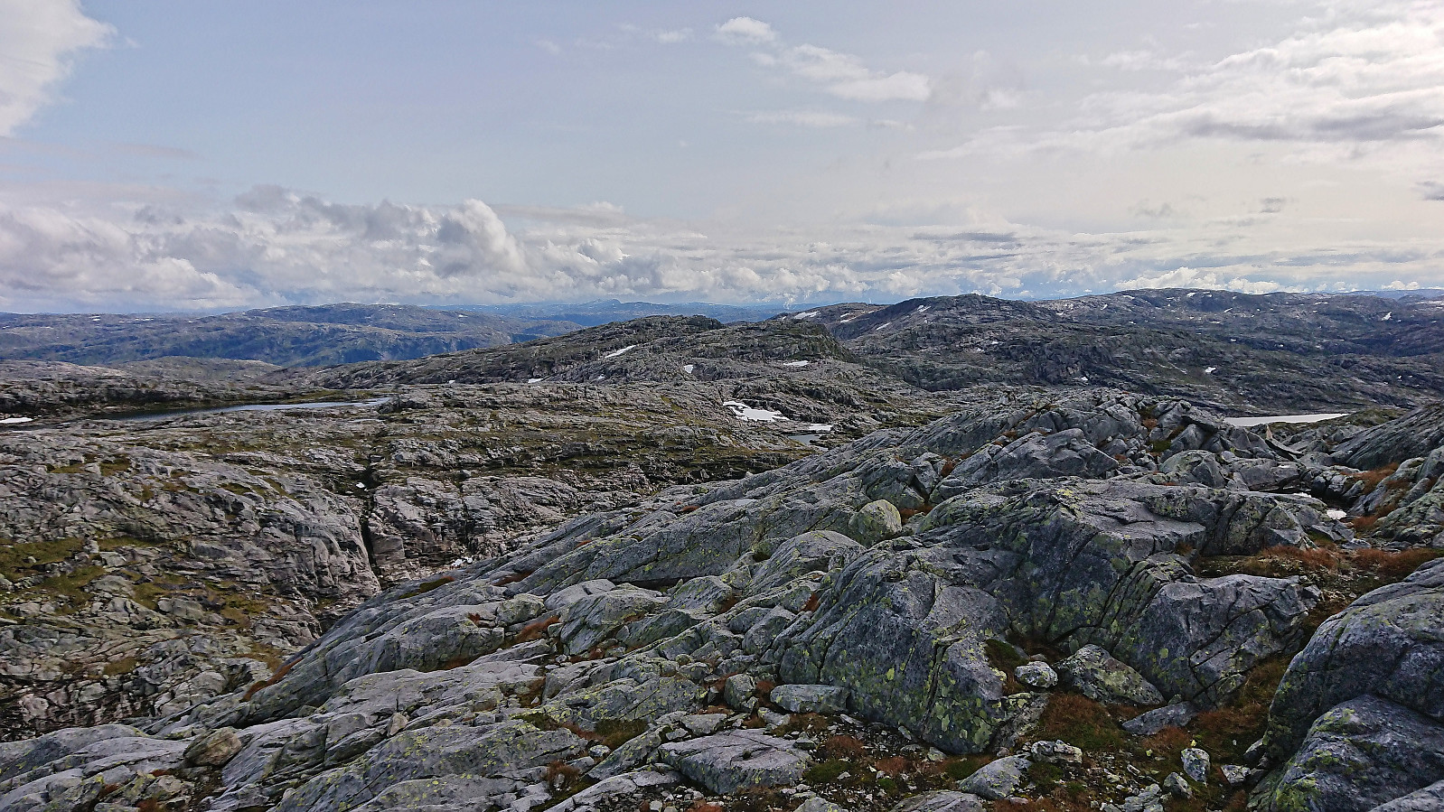
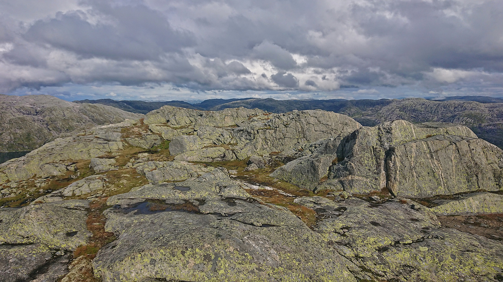
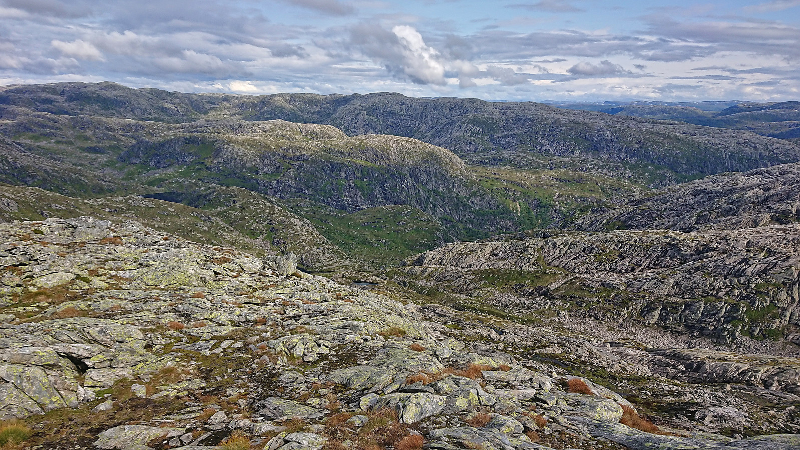
As we got close to the top of Norddalen the trail crossed the river and ascended more steeply to a marked crossroads with signs for both Vardadalsbu and Norddalshytten. We shortly followed the trail for Norddalshytten up to the 806 lake before heading off-trail in the direction of Sundagsfjellet. This required a bit of careful navigation early on but was otherwise straightforward, especially after reaching the relatively flat plateau and could spot the large summit cairn in the distance.
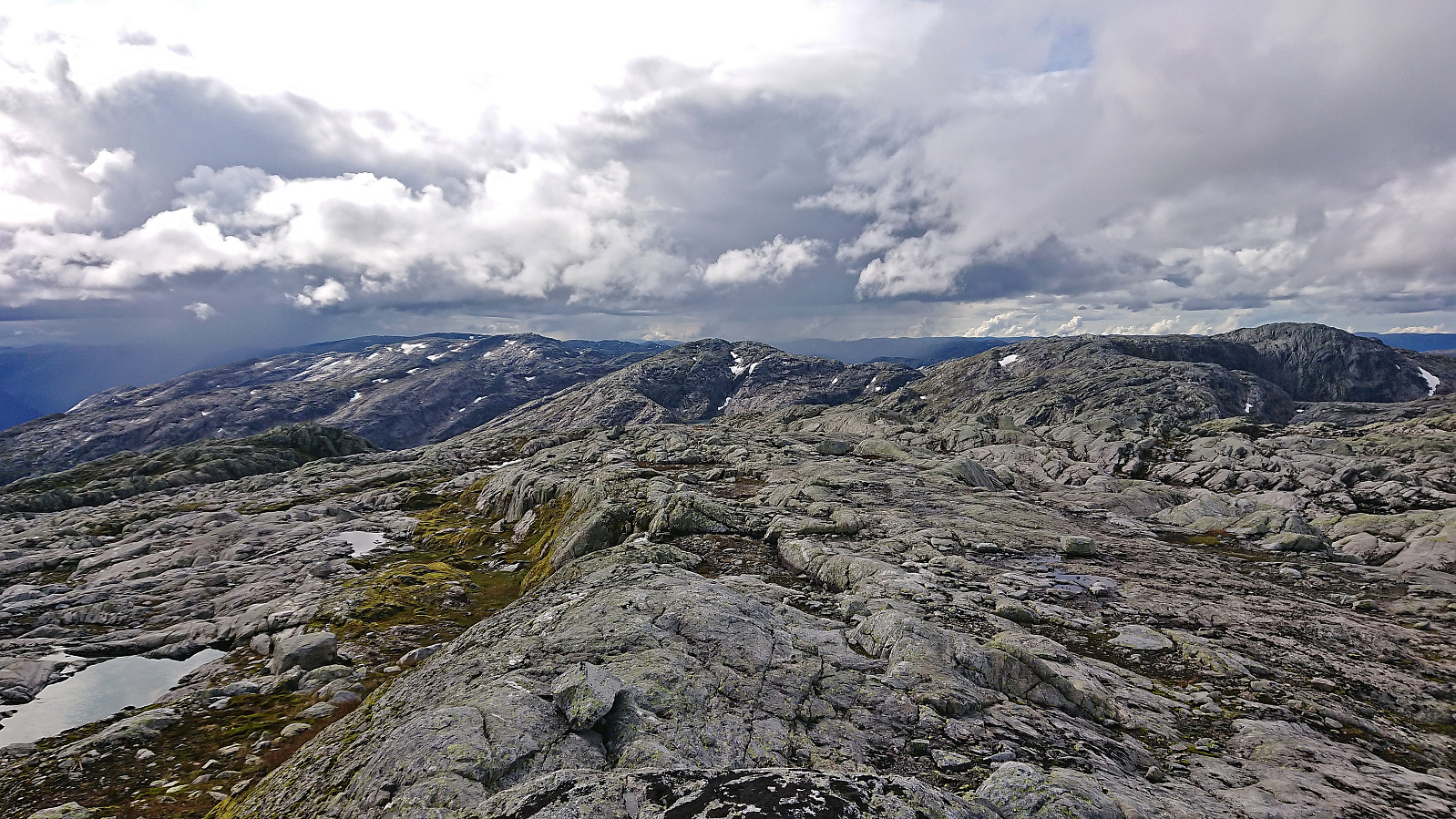
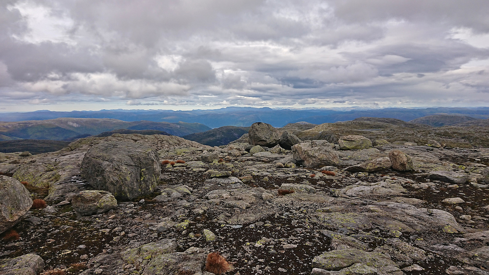
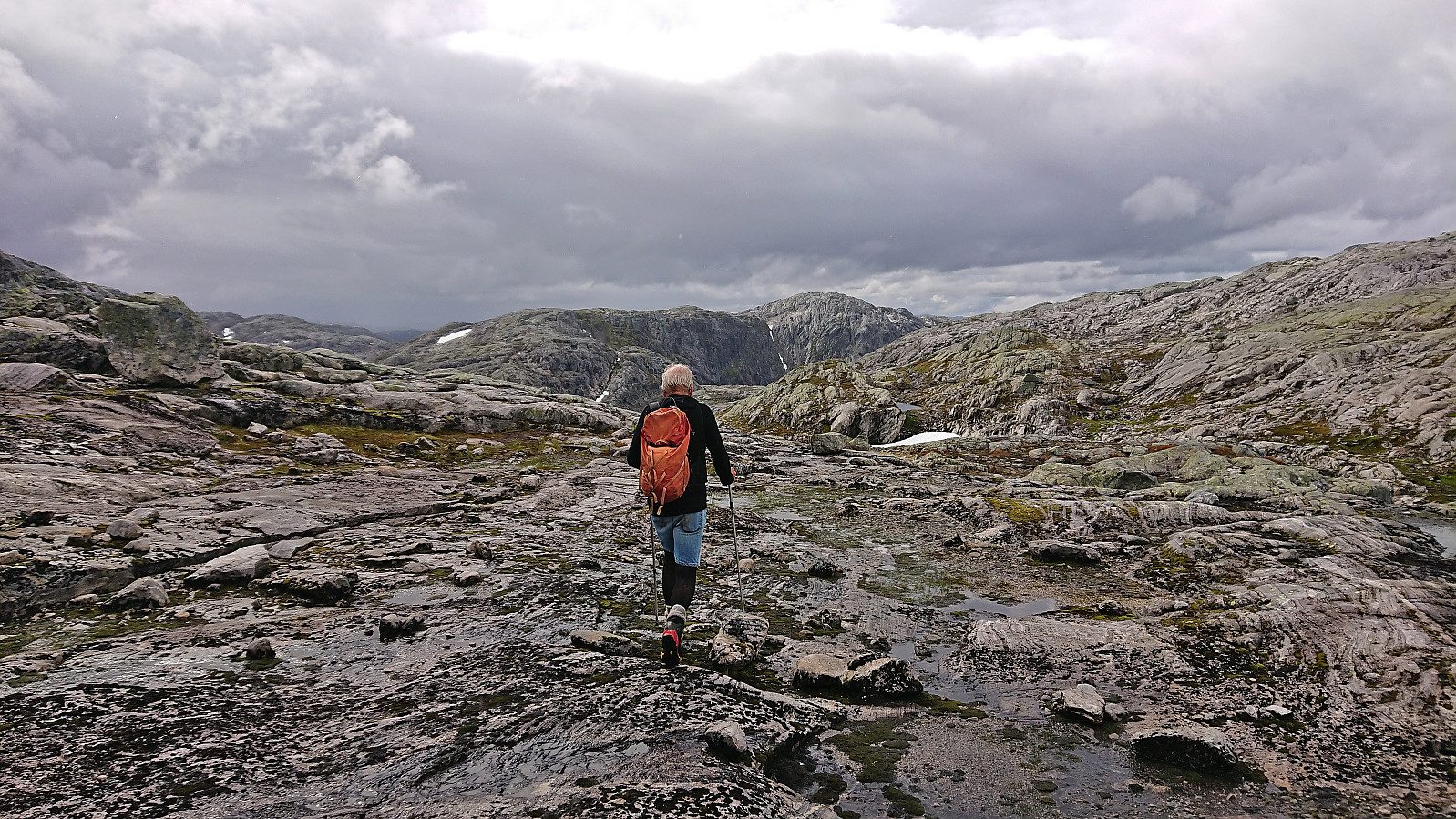
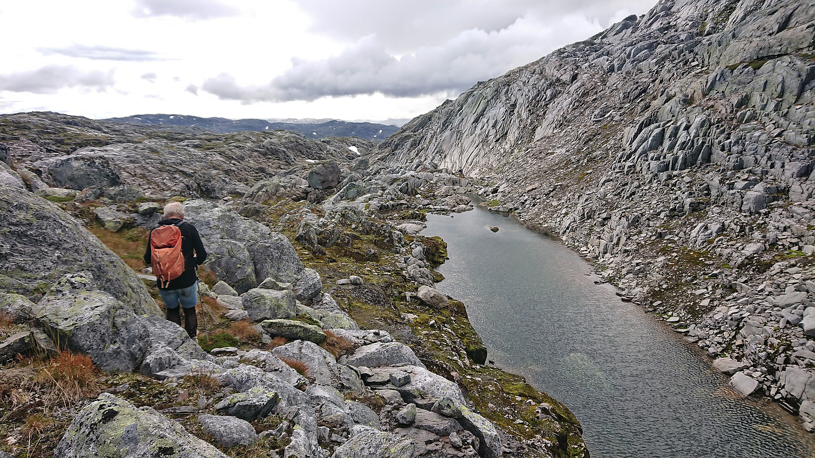
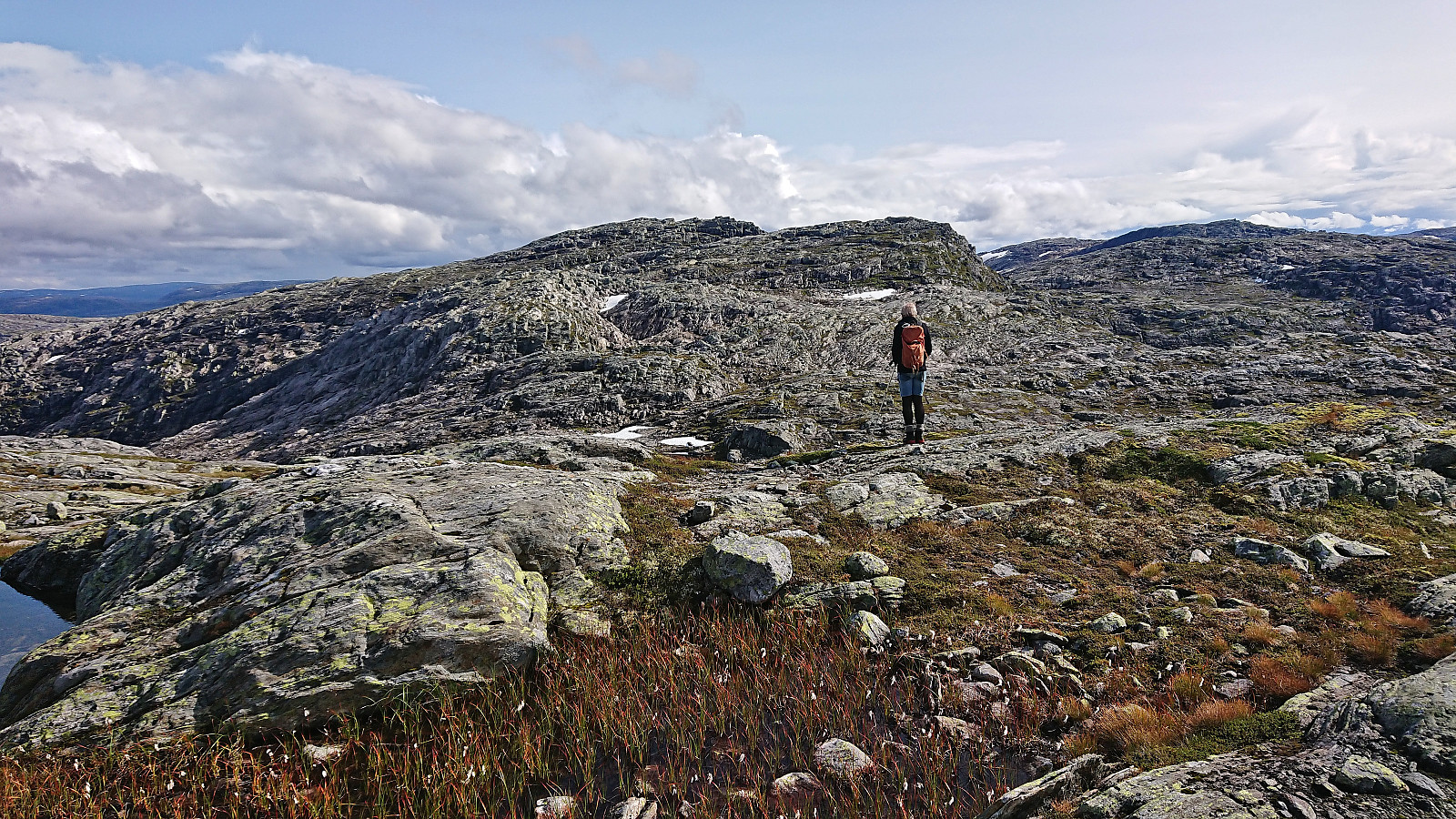
After a couple of pictures at the summit we turned out attention southwest and headed towards Sundagsnova. We however did not ascend Sundagsnova but rather went more directly towards the valley between Sundagsnova and the unnamed hill east of Fridalsnova. This did not present any real challenges and the following ascent up from the valley was also straightforward.
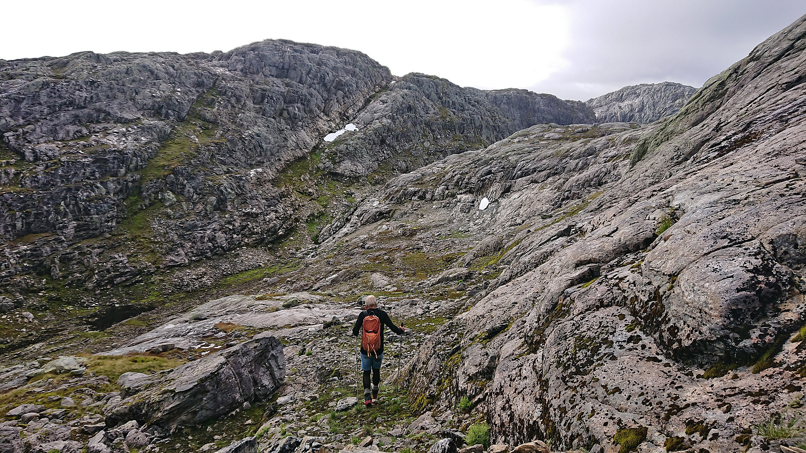
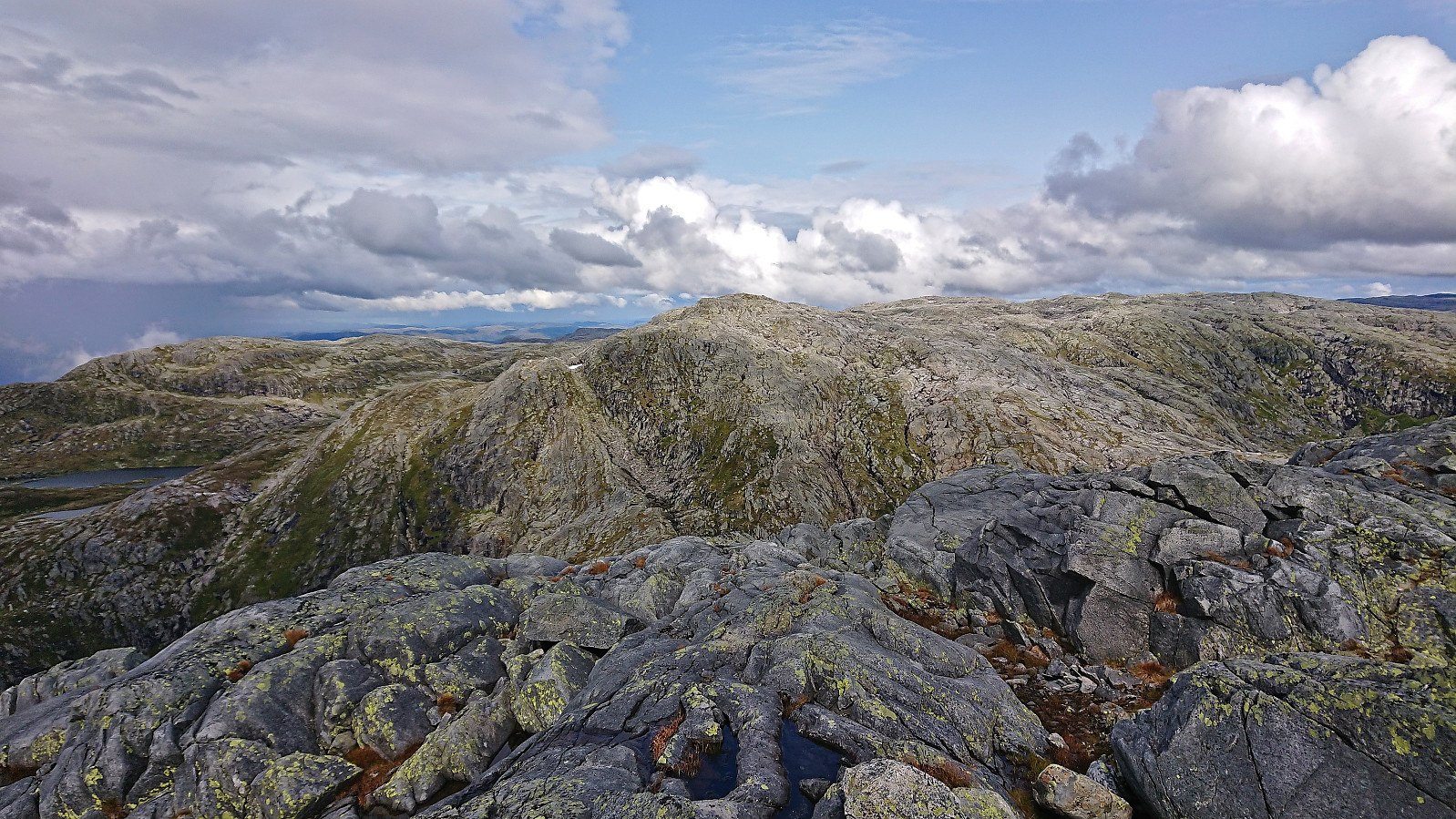
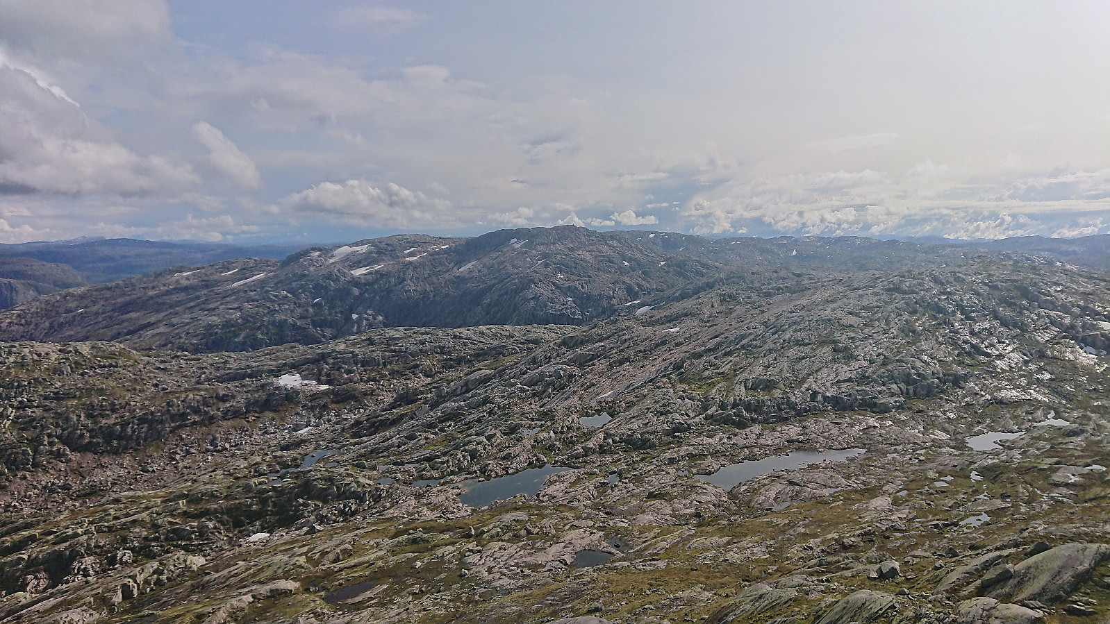
We continued southwest along the ridge before crossing the old border into Sogn og Fjordane and turning west towards Fridalsnova. Here we had to descend into the small valley east of the summit before completing the final steep ascent to the highest point. This required some pathfinding but was otherwise unproblematic.
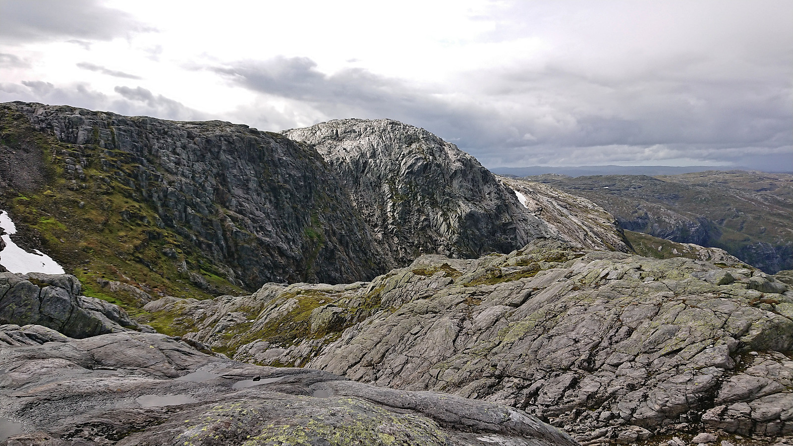
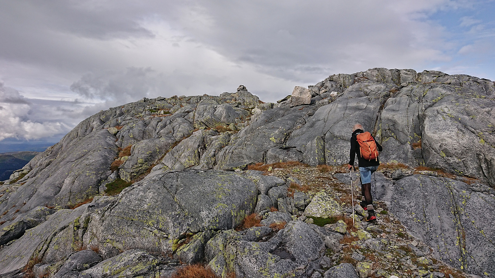
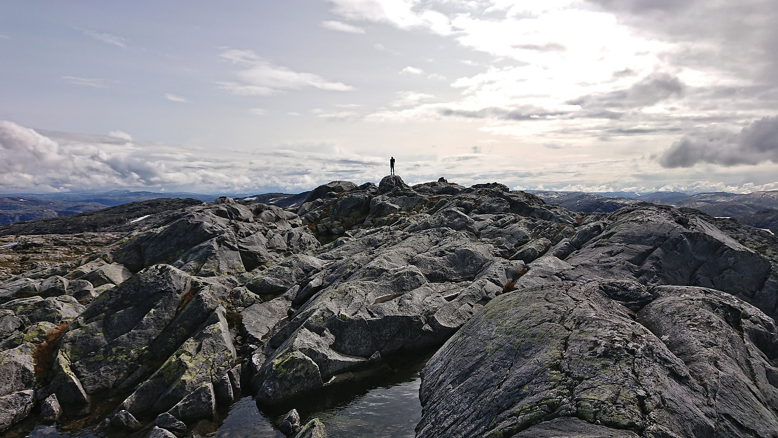
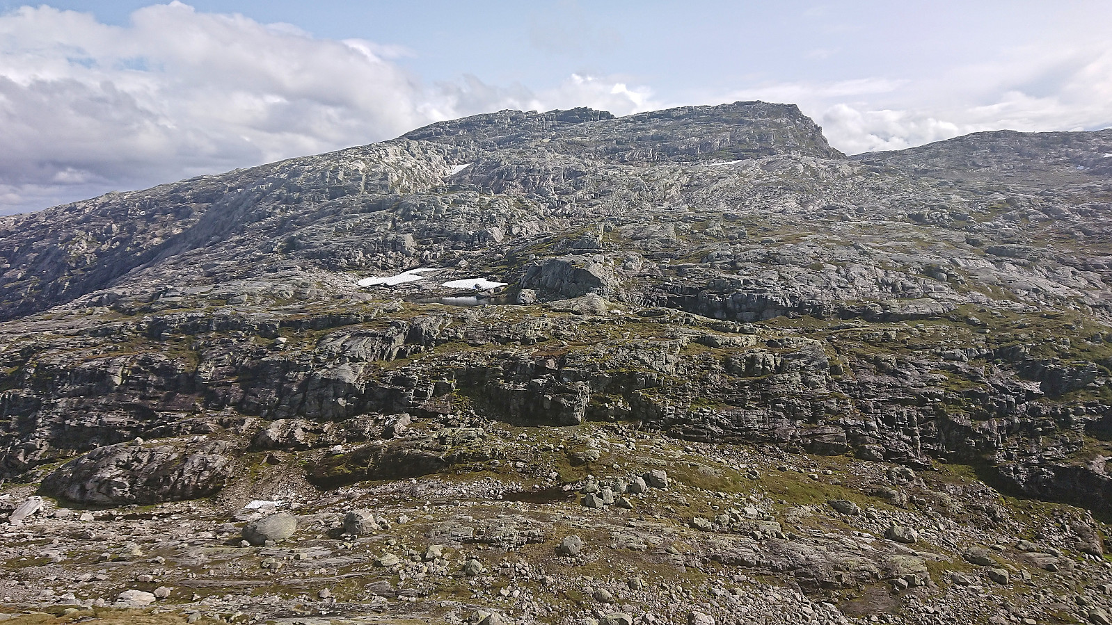
Fridalsnova had at least two competing summits where the northern one, ironically the one without a summit cairn, seemed to be slightly higher. However, as they are within less than 50 meters of each other, visiting both is probably the safest option.
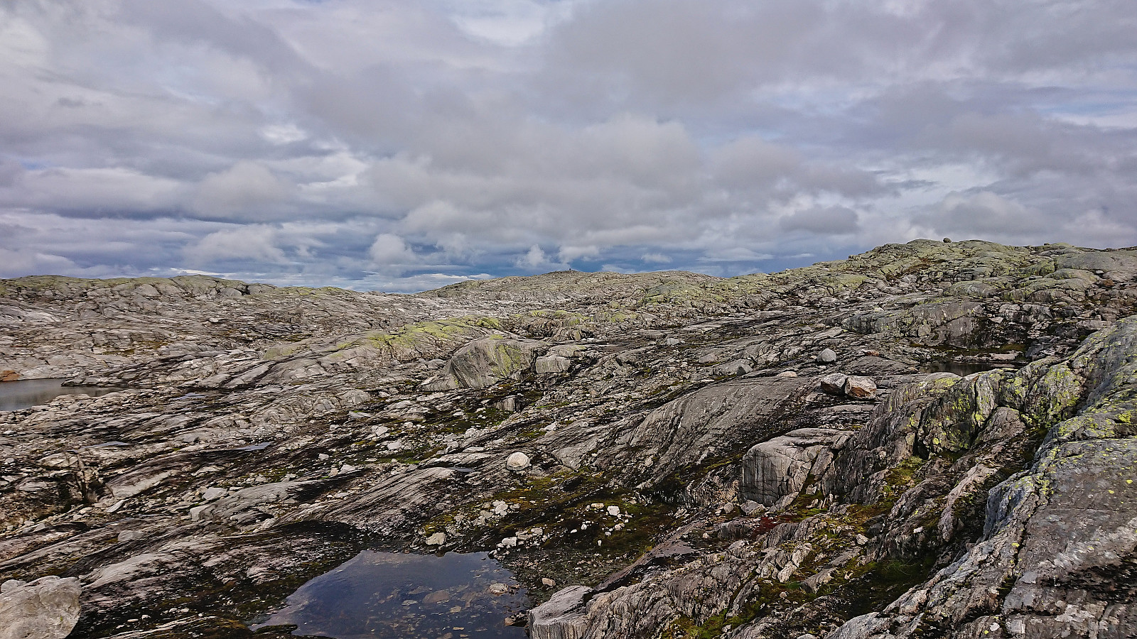
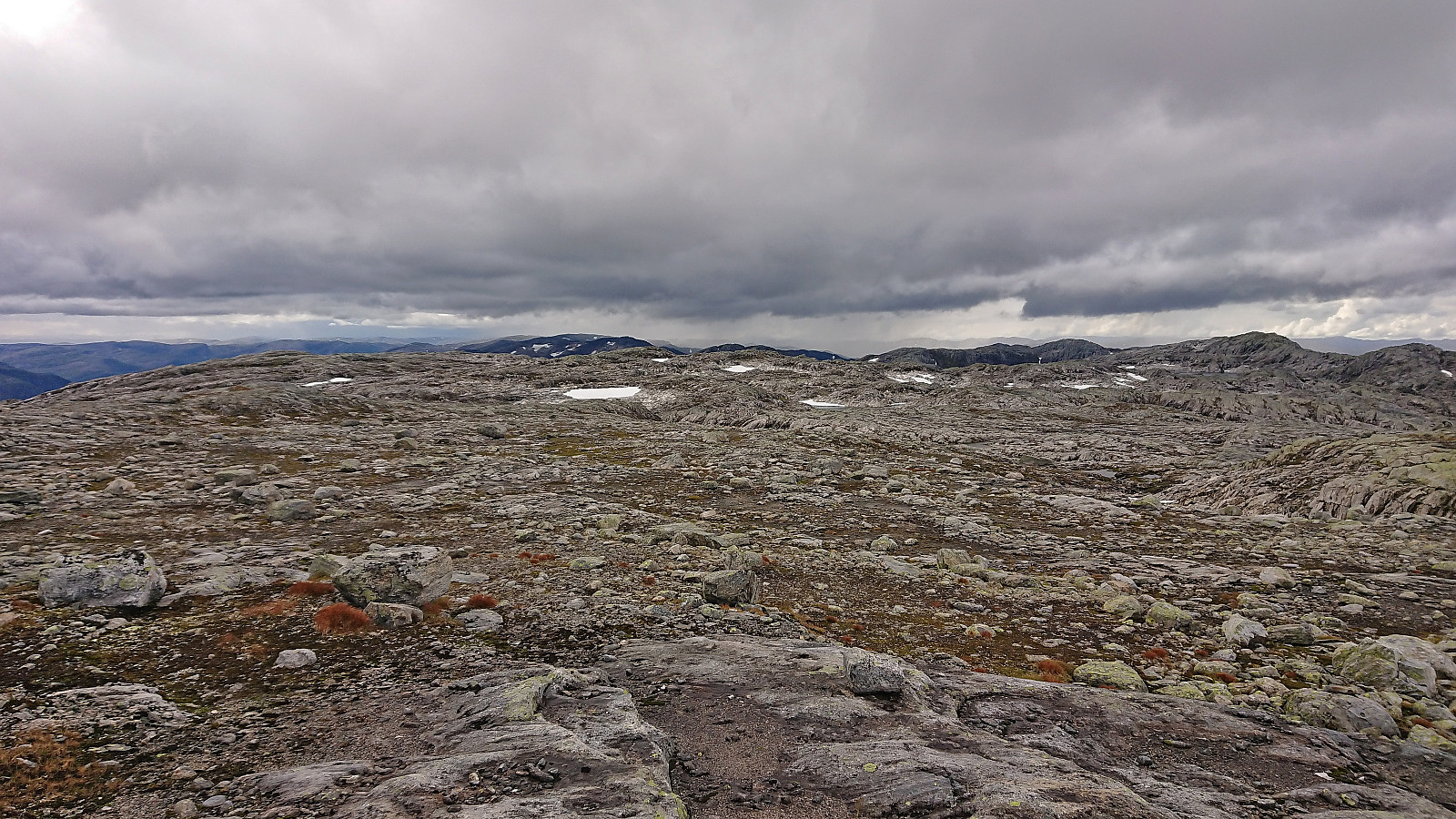
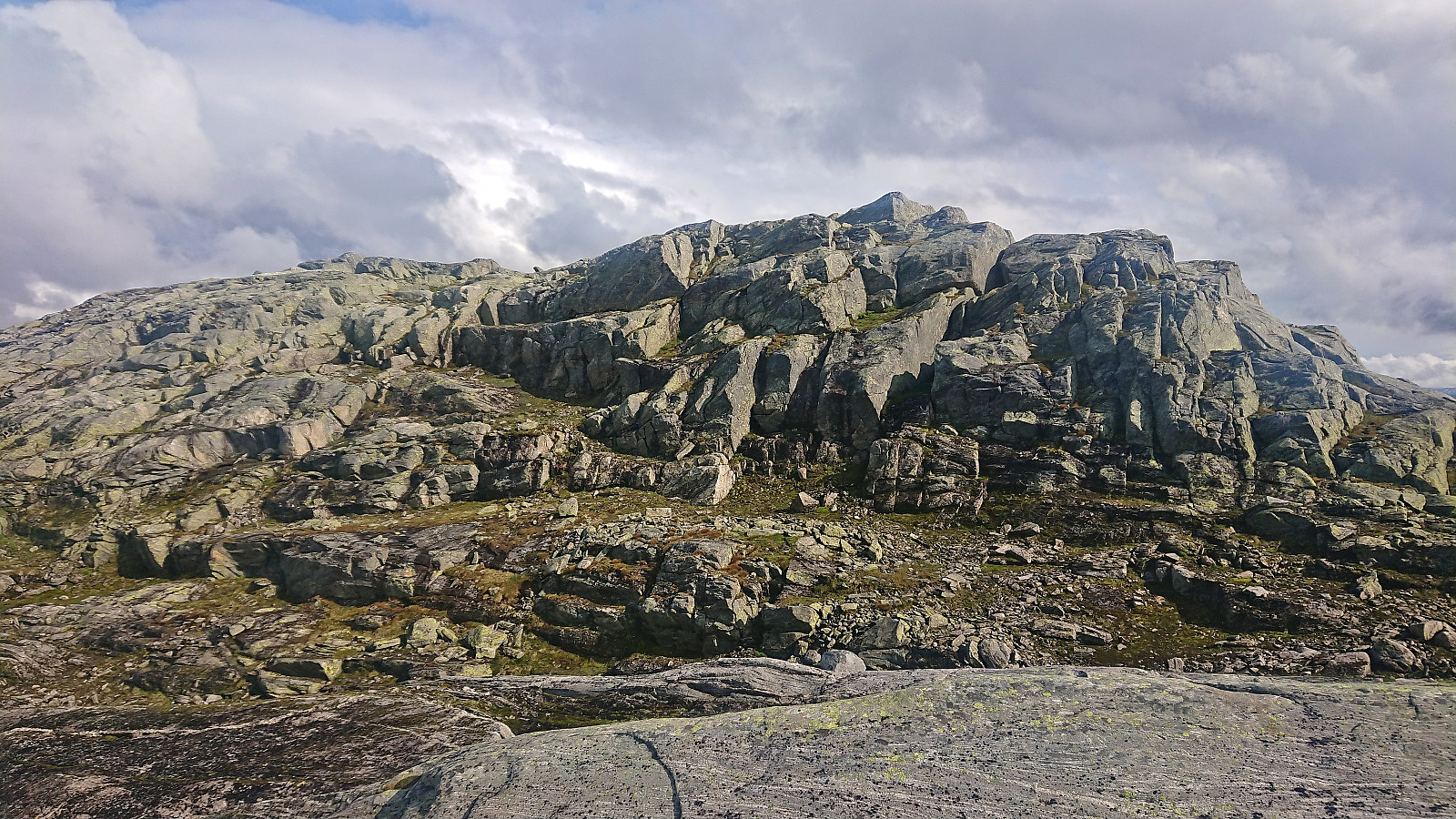
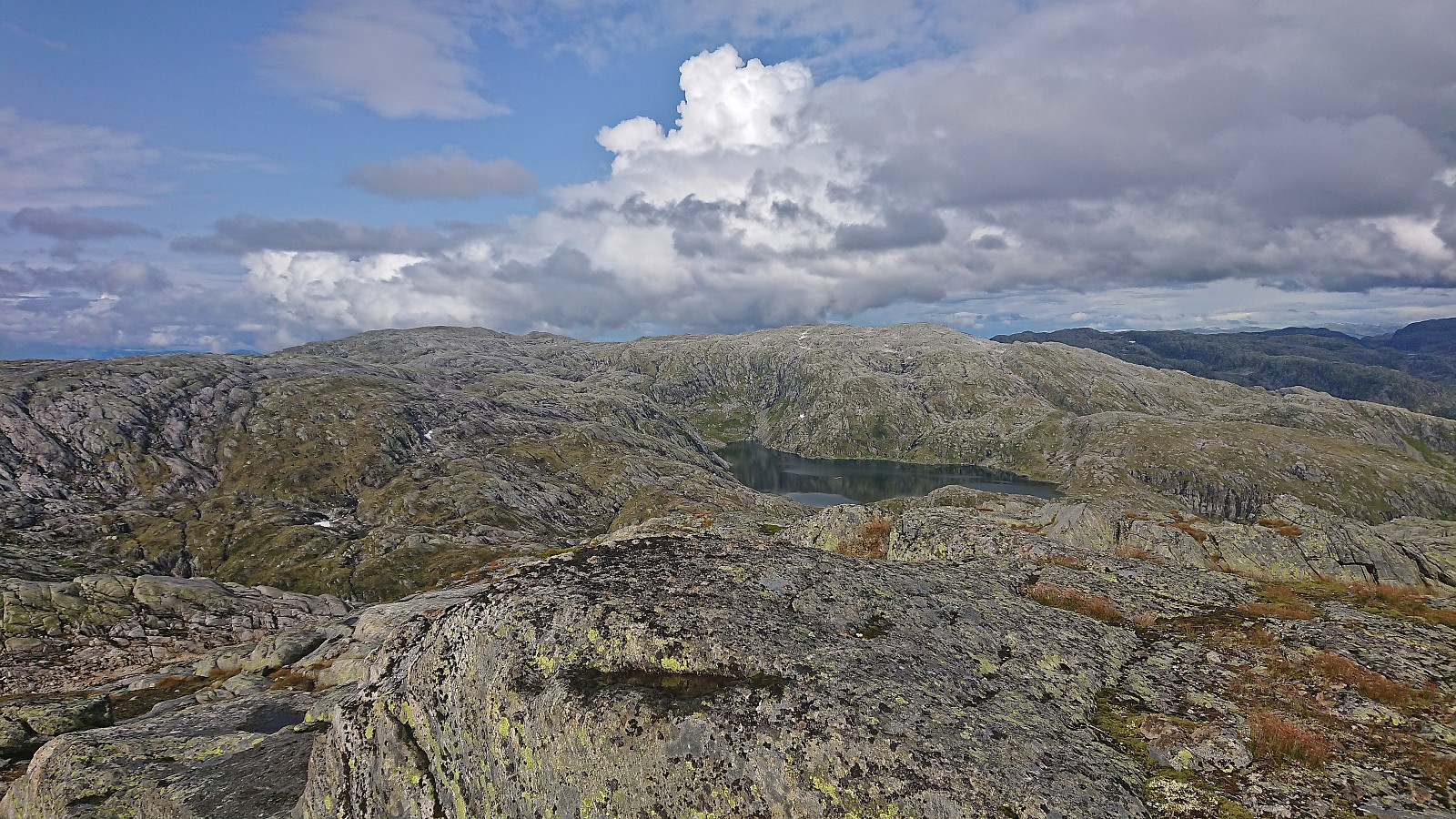
From the summit we descended along the same route and then headed southeast towards the final goal of the day, namely Vest for Vestrebotn. Besides one or two steep/slippery areas that had to be circumvented this did not present any real challenges and it did not take long before we arrived at the summit area. There were four candidates for the highest point and it was difficult to conclude which one was the highest (seems to be the northernmost according to the map). We therefore simply visited all of them.
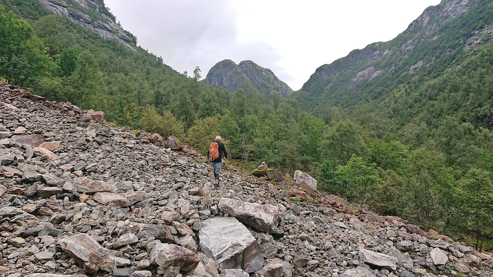
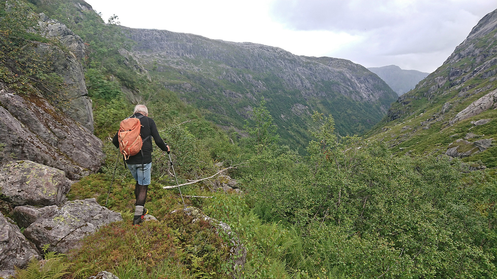
After a short break we followed the ridge east/northeast before later connecting with the marked trail in the valley south of the summit. Some slippery sections to avoid but overall straightforward. We followed the trail northeast to a small lake where we turned southeast and started our descent back down Norddalen. Here there was a marked trail but we lost it just before reconnecting with our ascent route, hence maybe the trail here goes slightly further east than what is indicated on the map.
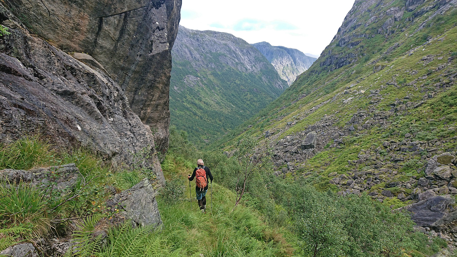
As soon as we had reconnected with the trail, or perhaps we should rather call it route as the trail itself was often not visible, all that remained was to return to the car at the bottom of the valley. Due to the poor conditions of the trail and the numerous slippery rocks this would however turn out to be more challenging than expected, with Petter in particular not being a big fan of the slippery rocks.
Overall, this greatly reduced our speed. To add to the difficulty it also started pouring down when we were about halfway down the valley. Before this we had only had the occasional short rain shower. When we in the end finally made it to the car we were therefore both completely soaked and grateful to get out of the rain.
To summarize, the marked trail up Norddalen provided more of a challenge than we had expected and overall the off-trail hiking was much easier and more enjoyable. However, following the trail may be a very different experience under better conditions, for example when the trail is not hidden under the numerous ferns and tall grasses and the rocky surfaces are not extra slippery. The off-trail part of the hike can however very much be recommended and provided a nice roundtrip to the three summits.
Takk for turen, Petter!

| Starttidspunkt | 26.08.2023 08:17 (UTC+01:00 ST) |
| Sluttidspunkt | 26.08.2023 19:44 (UTC+01:00 ST) |
| Totaltid | 11t 26min |
| Bevegelsestid | 10t 29min |
| Pausetid | 0t 57min |
| Snittfart totalt | 2,3km/t |
| Snittfart bevegelsestid | 2,5km/t |
| Distanse | 25,9km |
| Høydemeter | 1644m |

Kommentarer