Norddalsfjellet, Sørdalsfjellet and Saudalsnovi (12.08.2023)

| Startsted | Øykholmane (384moh) |
|---|---|
| Sluttsted | Øykholmane (384moh) |
| Turtype | Fjelltur |
| Turlengde | 8t 05min |
| Distanse | 21,0km |
| Høydemeter | 1443m |
| GPS |
|
| Bestigninger | Norddalsfjellet (1059moh) | 12.08.2023 |
|---|---|---|
| Saudalsnovi (1110moh) | 12.08.2023 | |
| Sørdalsfjellet (1084moh) | 12.08.2023 |
Norddalsfjellet, Sørdalsfjellet and Saudalsnovi
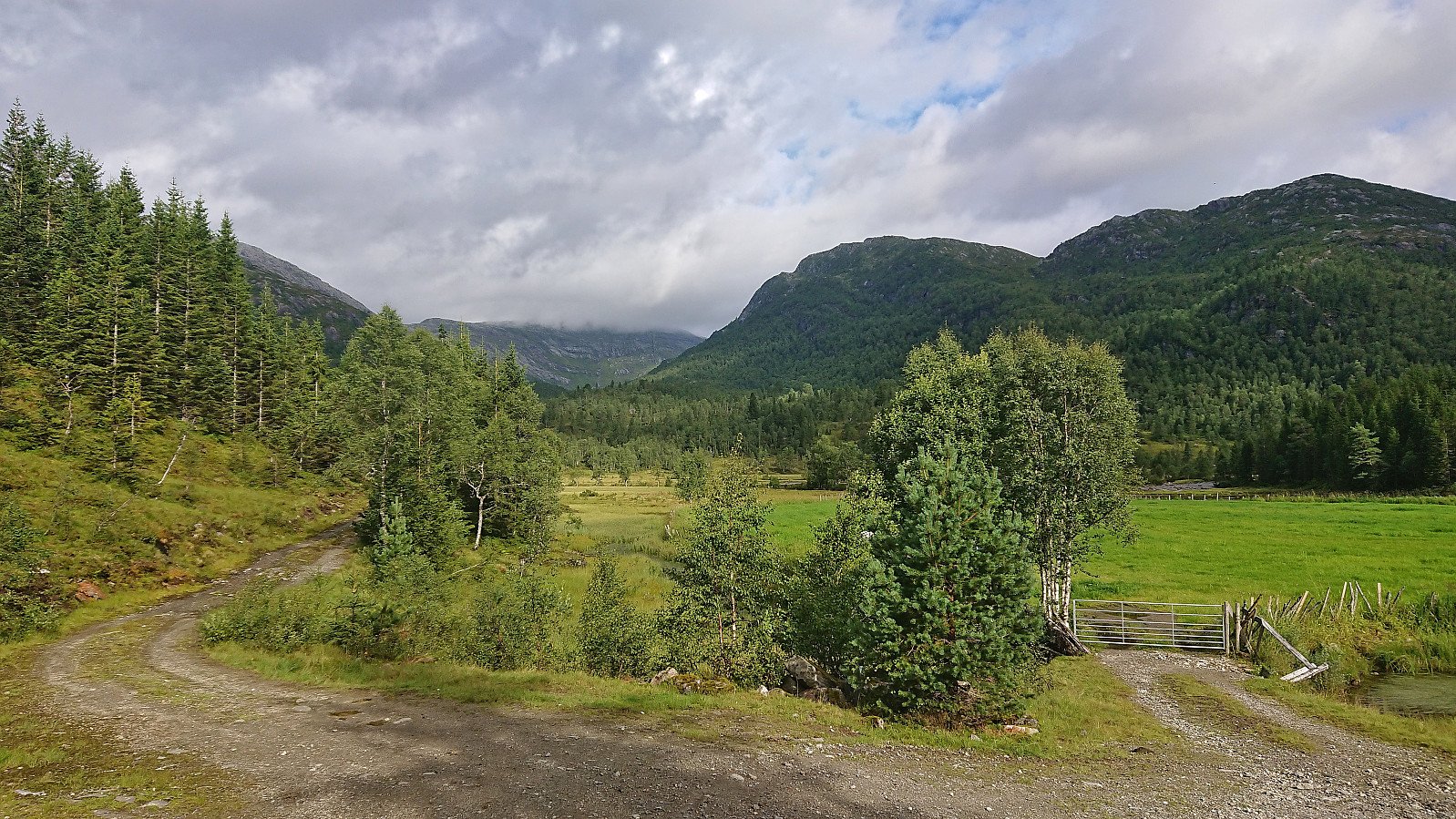
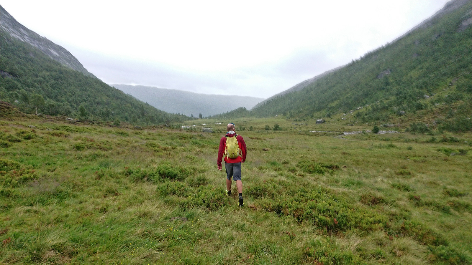
Initially I had other hiking plans for this Saturday, but when Fjellsamleren (Endre Myrdal Olsen) asked if I wanted to join him on a hike in Norddalen at the end of Øvstedalen, an area that is pretty much unreachable by public transport, I of course quickly changed my plans. Endre picked me up at my place at 08:15 and after driving as far up Øvstedalen as possible, passing through two gates on a narrow gravel road, we found parking near the end of the road at Øykholmane and were ready to start hiking around 09:45.
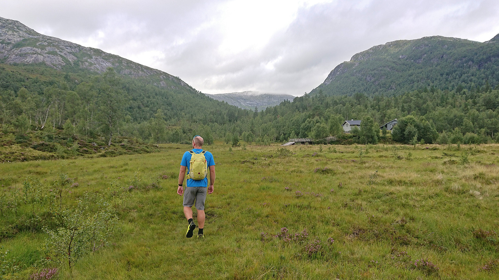
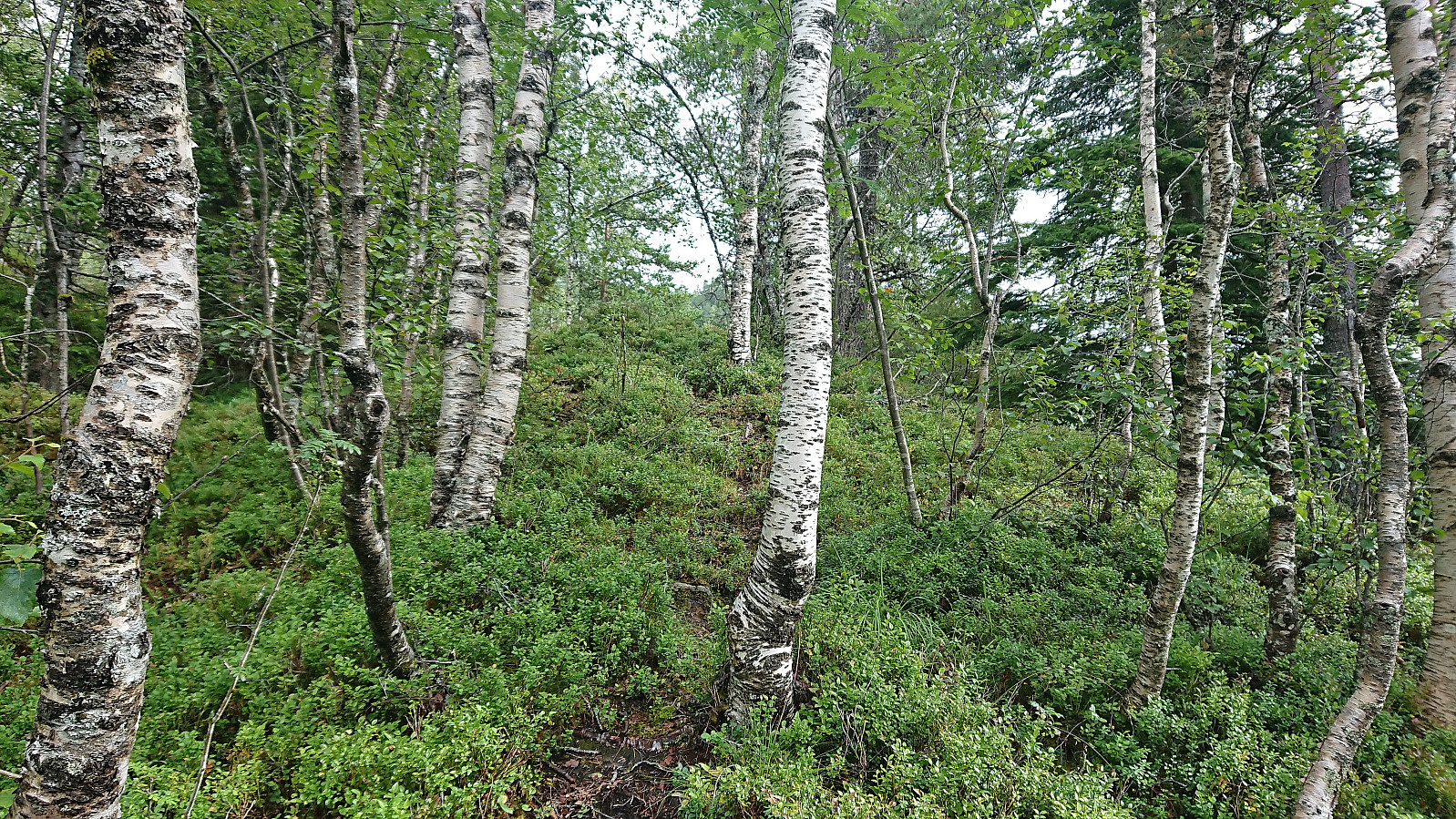
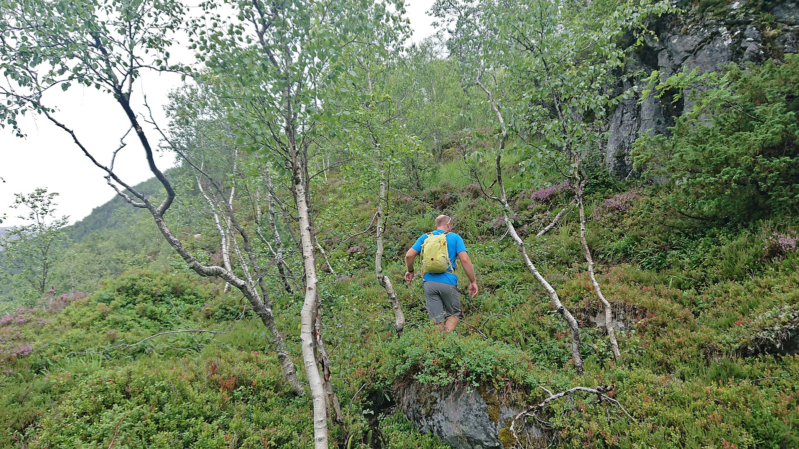
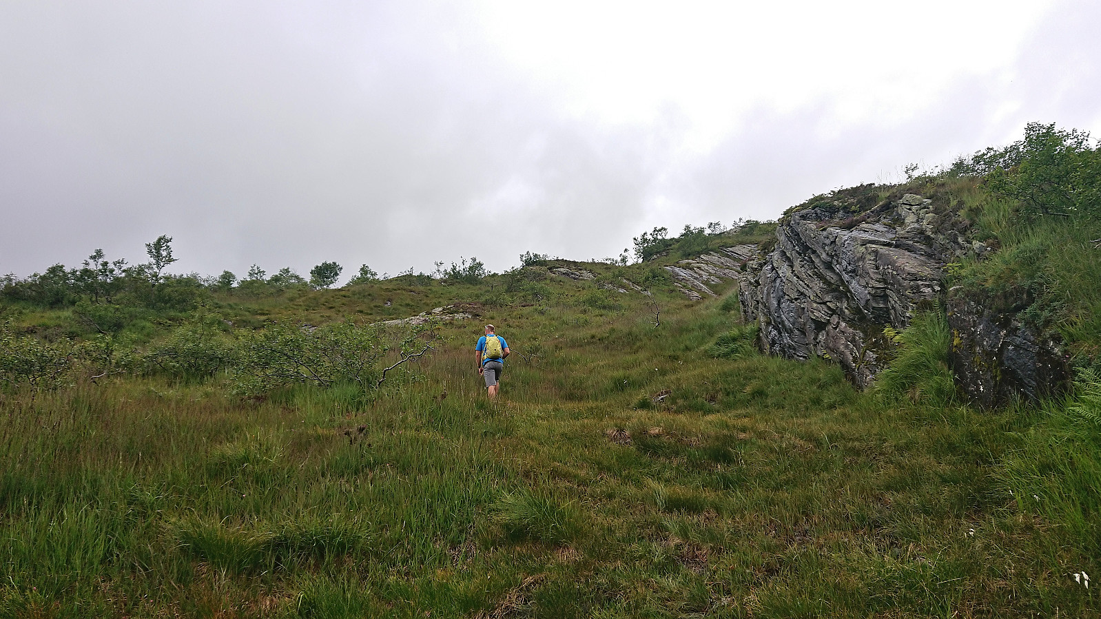
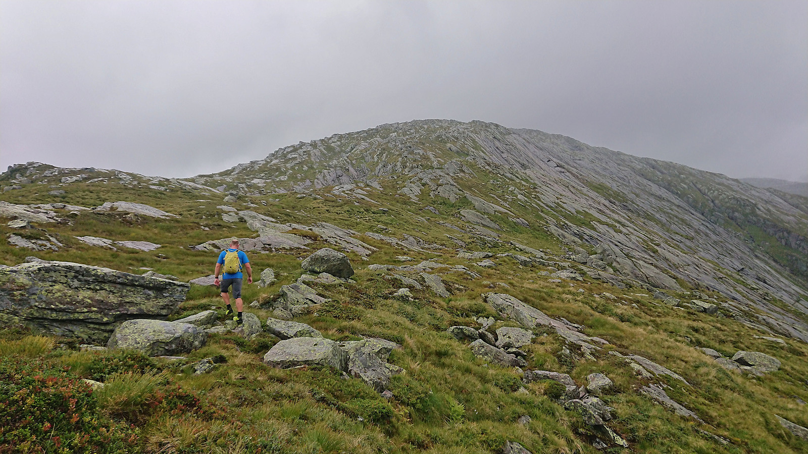
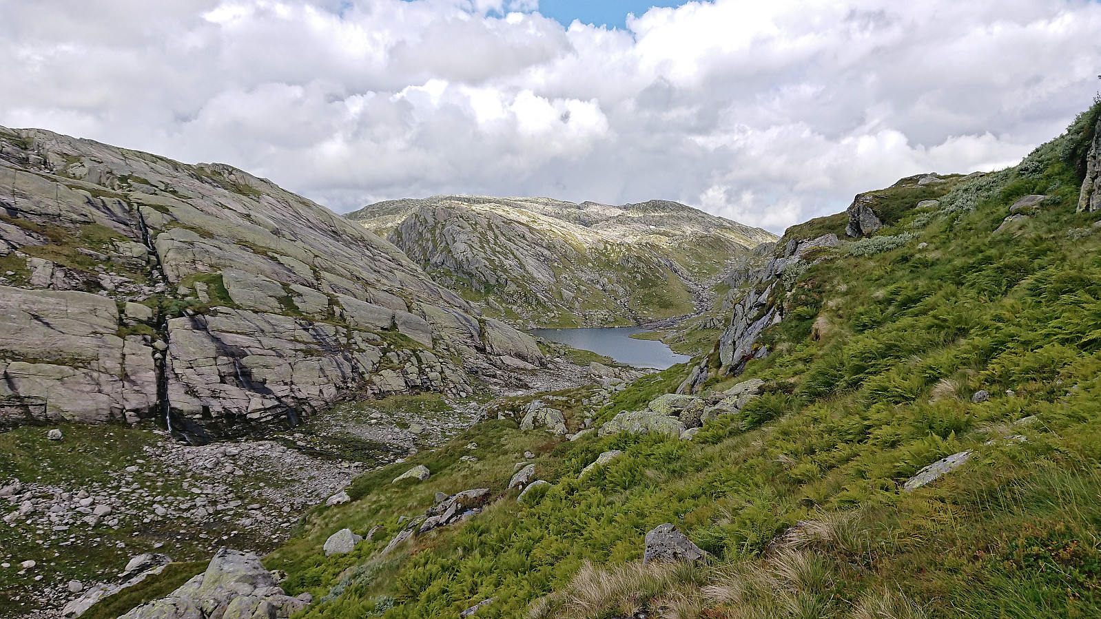
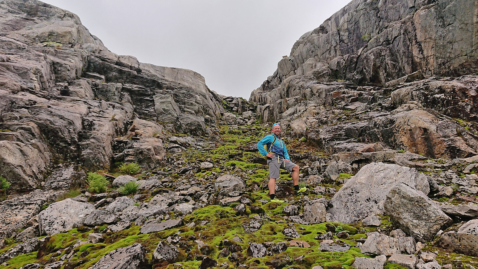
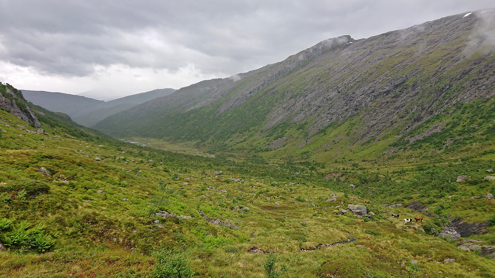
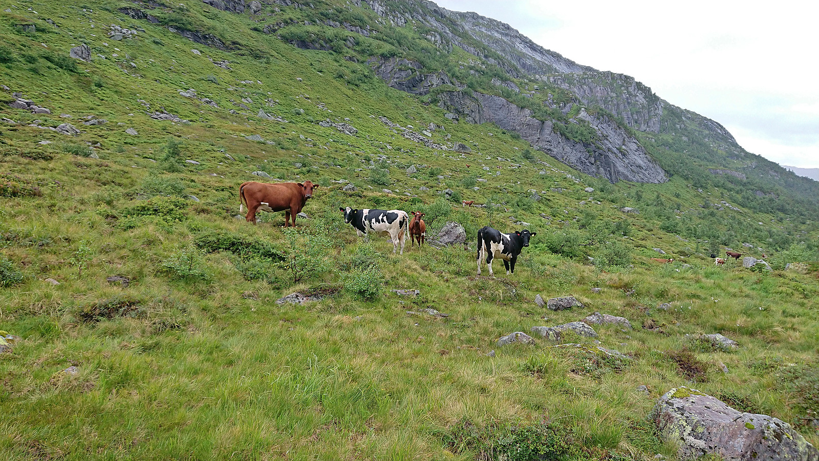
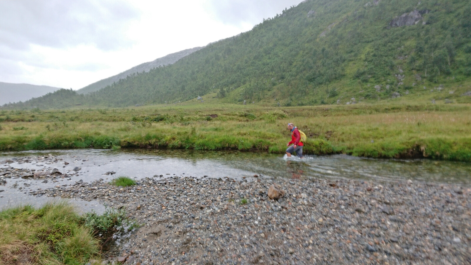
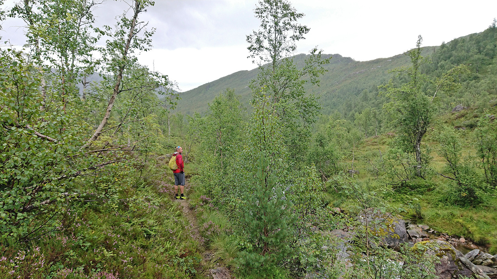
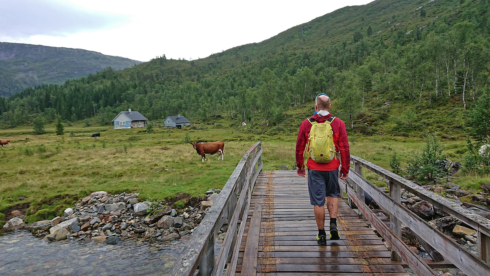
The road quickly turned into a wet trail that we followed via a couple of cabins. After crossing the river on a wooden bridge, and managing to avoid the grazing cows in the area, we left the cabins and trail behind and headed off-trail towards Kyrahjellen, which should provide us an easy ascent route to Norddalsfjellet (incorrectly named Nordalsfjellet on PB) as suggested in Runemb (Rune Blomberg)'s trip report from 2014.
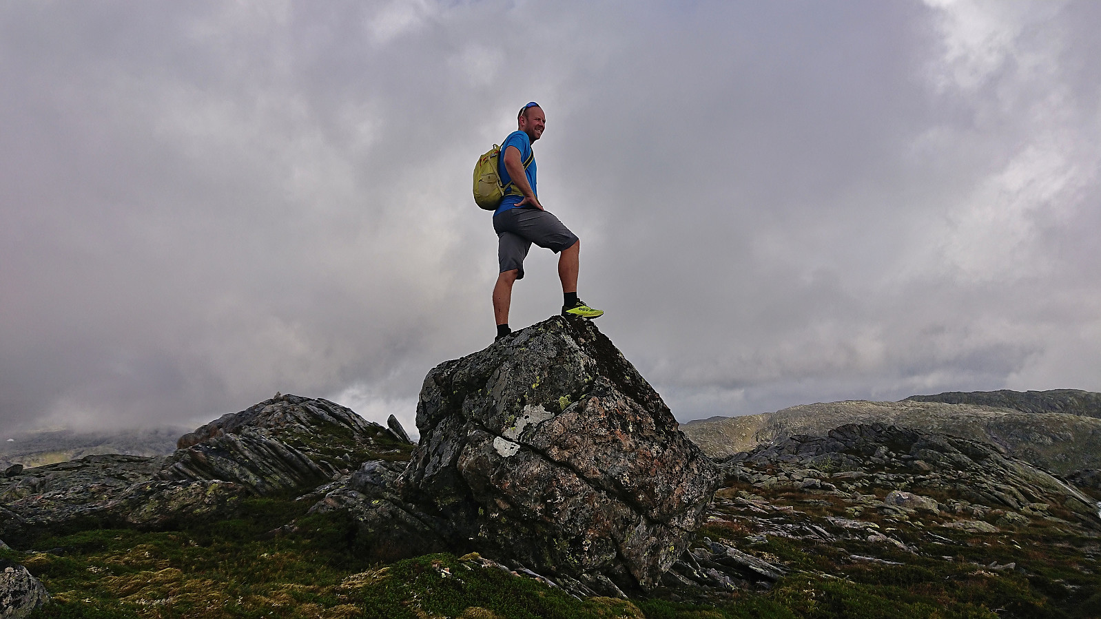
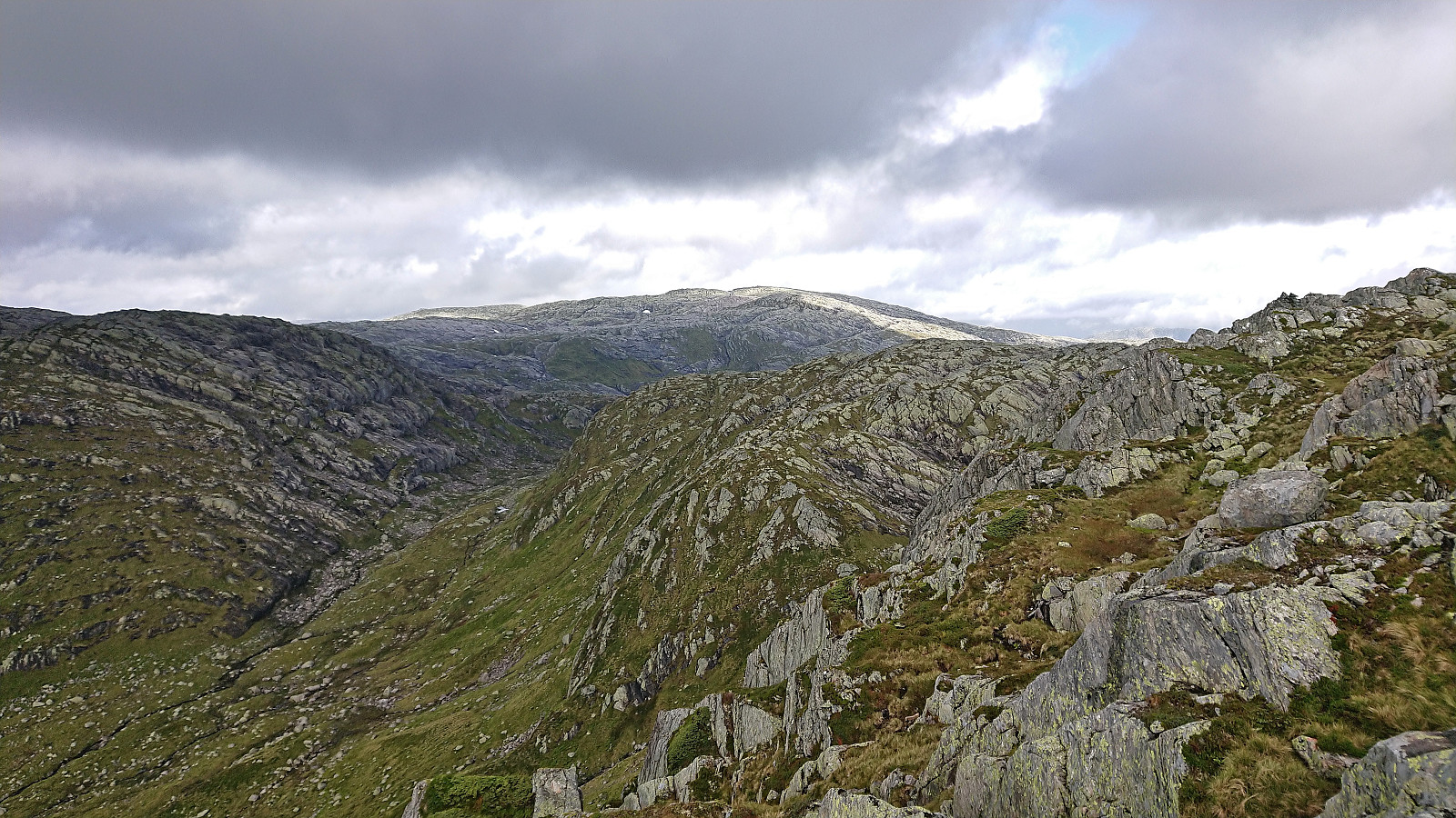
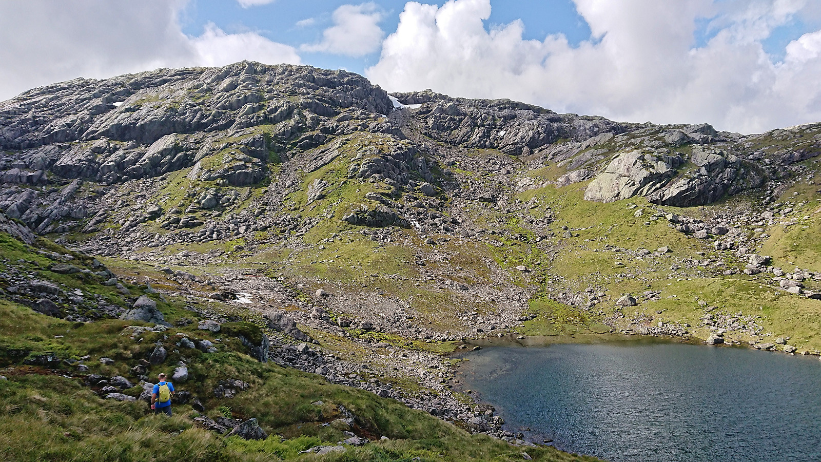
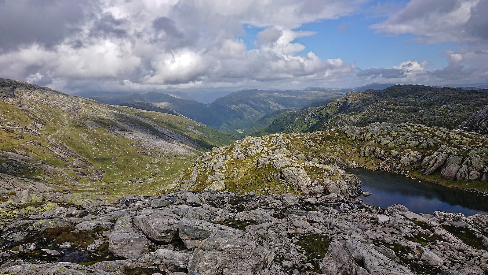
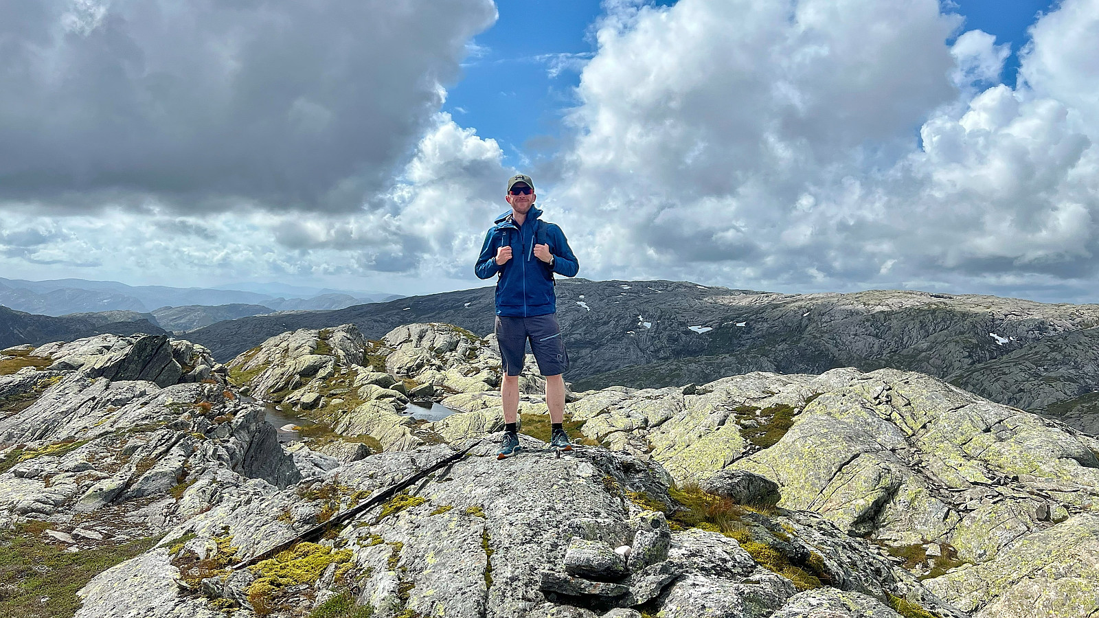
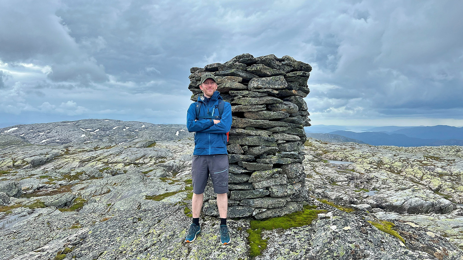
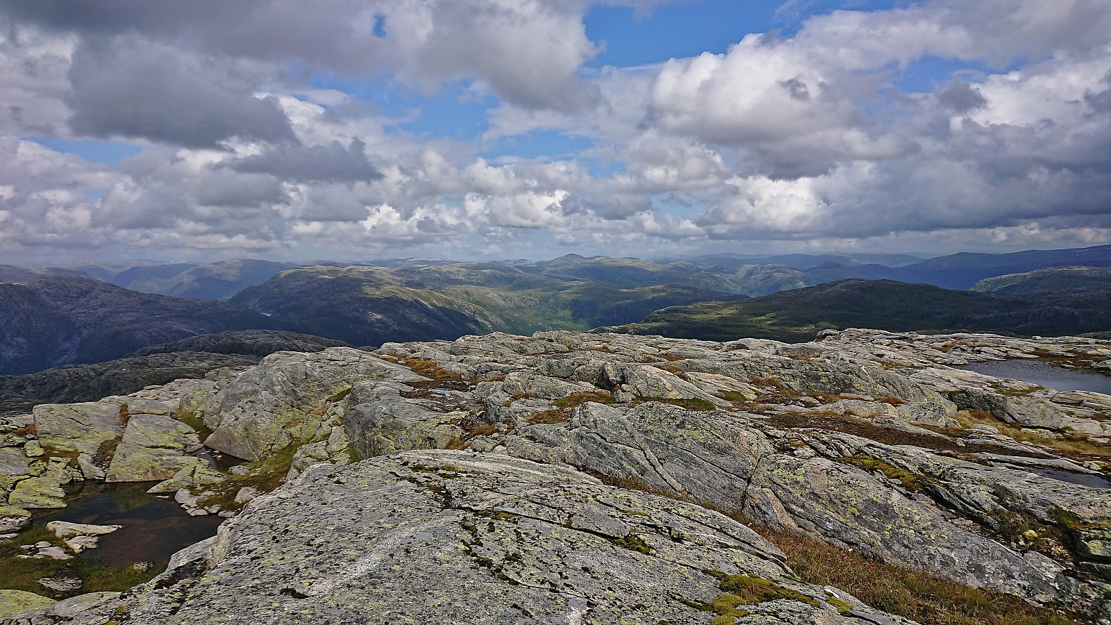
We soon came across a weak trail and later a couple of small cairns but the direction to the summit was pretty obvious anyway. The summit of Norddalsfjellet was therefore reached without any real issues except for a heavy rain shower that thankfully ended just as we completed the final ascent. There were a couple of alternatives for the highest point, hence we simply visited all of them before getting out of the wind and taking a short break.
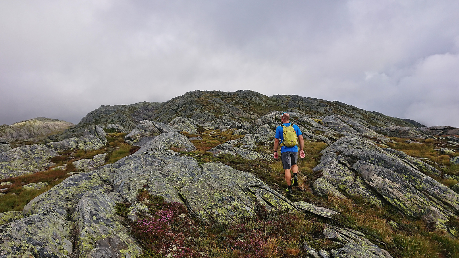
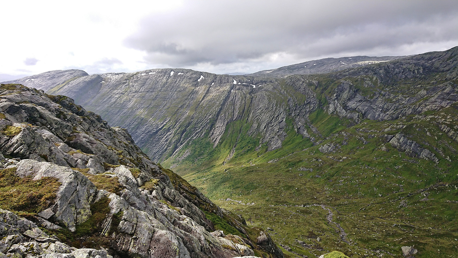
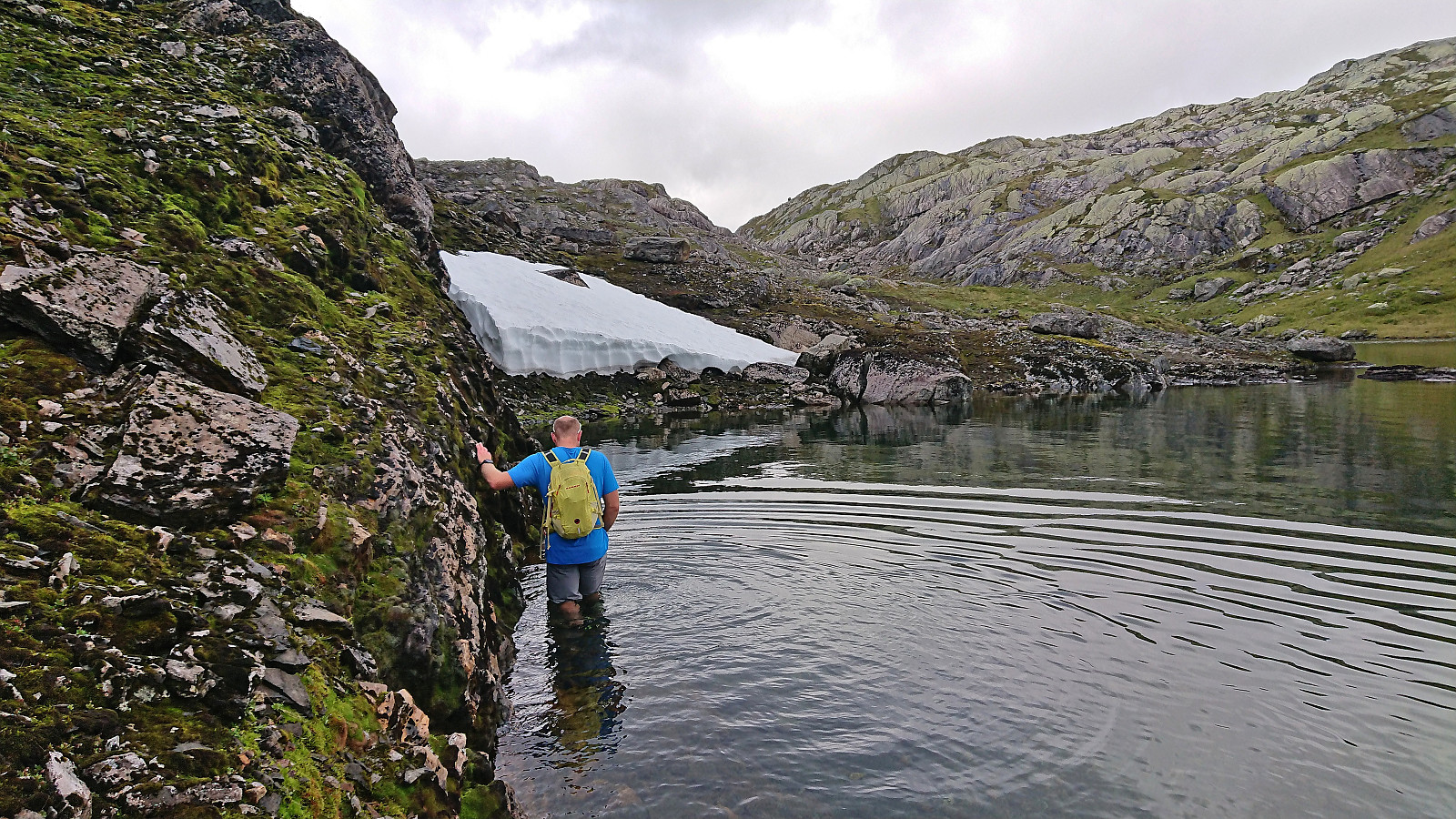
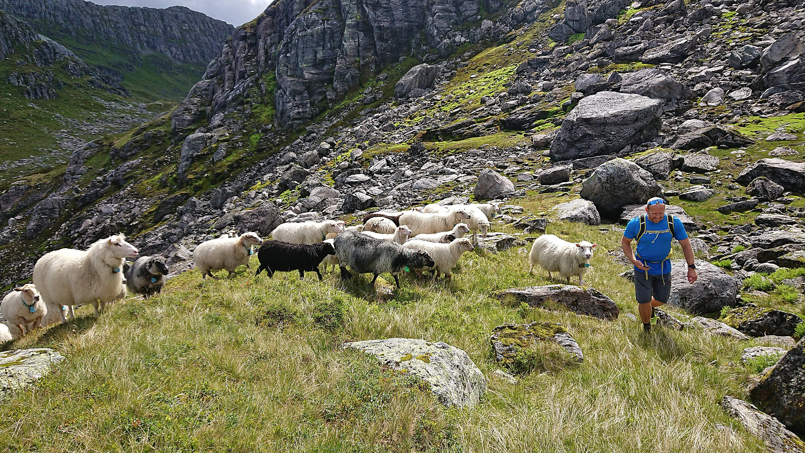
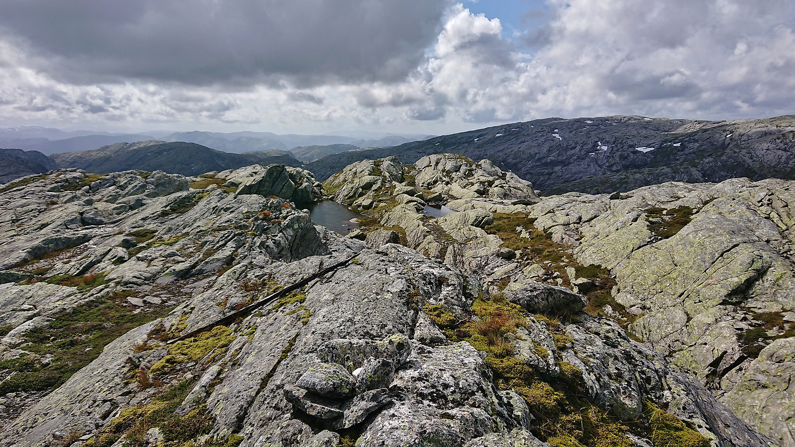
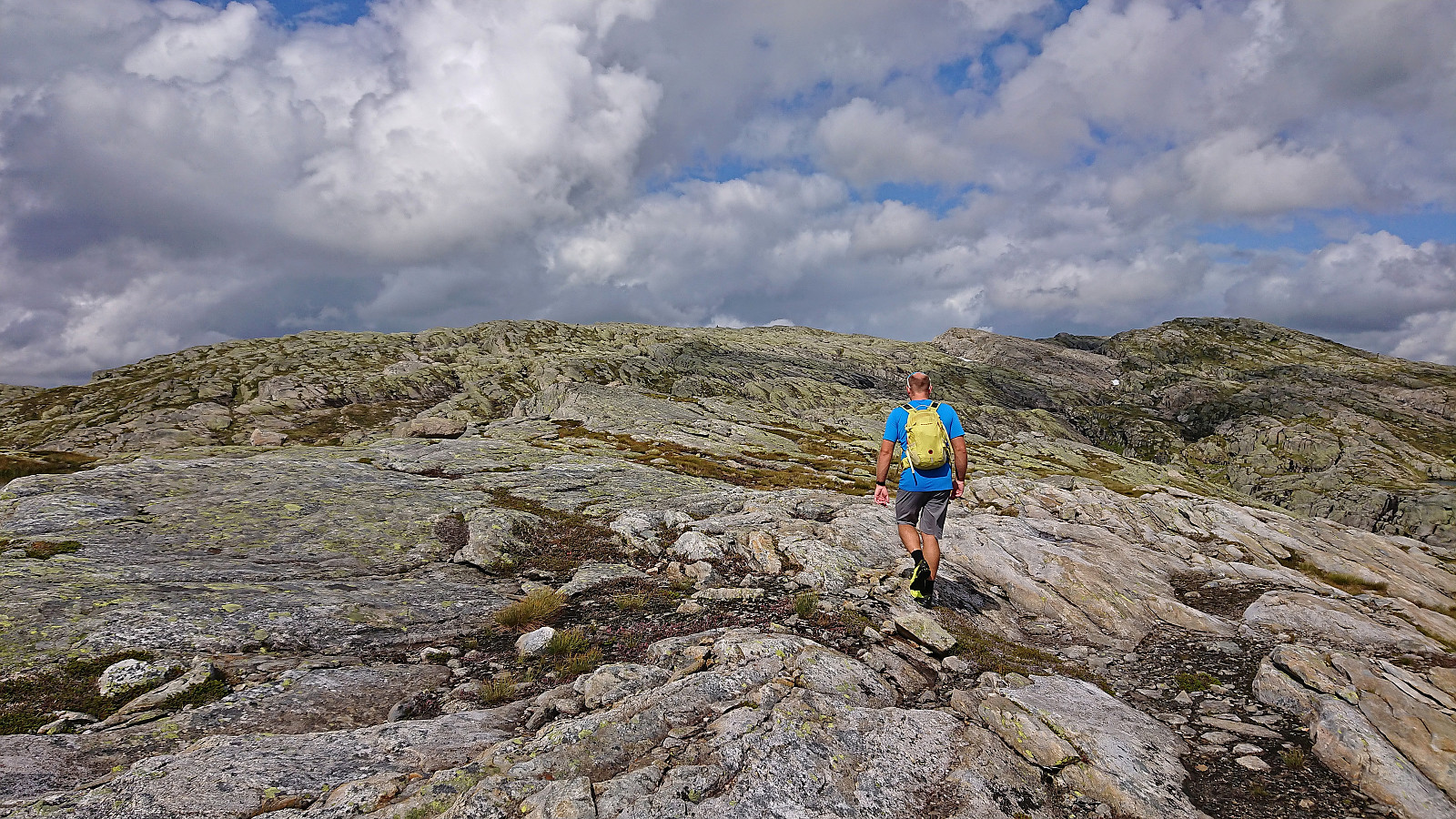
From Norddalsfjellet we continued north to Vetlegoggen which we then rounded on the western side, actually having to get our feet wet to avoid some steep wet terrain, before turning north and then west to Brattefonntjørni. Here we were greeted by dozens of sheep that at first seemed to want to follow us all the way to the summit of Sørdalsfjellet, but they finally gave up when it became clear that we did not have any food for them.
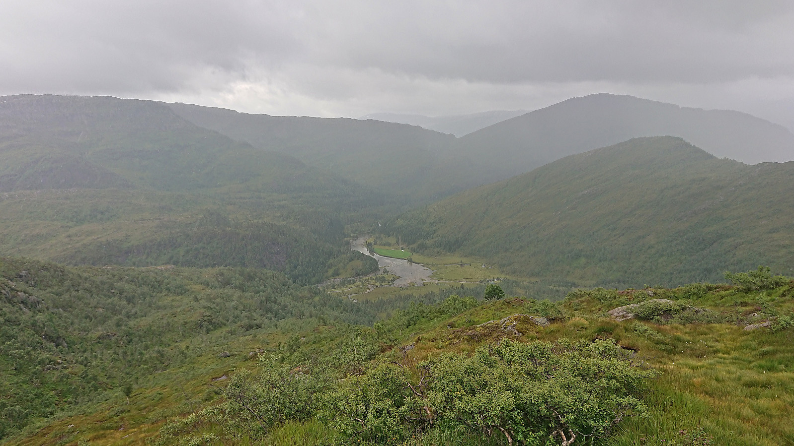
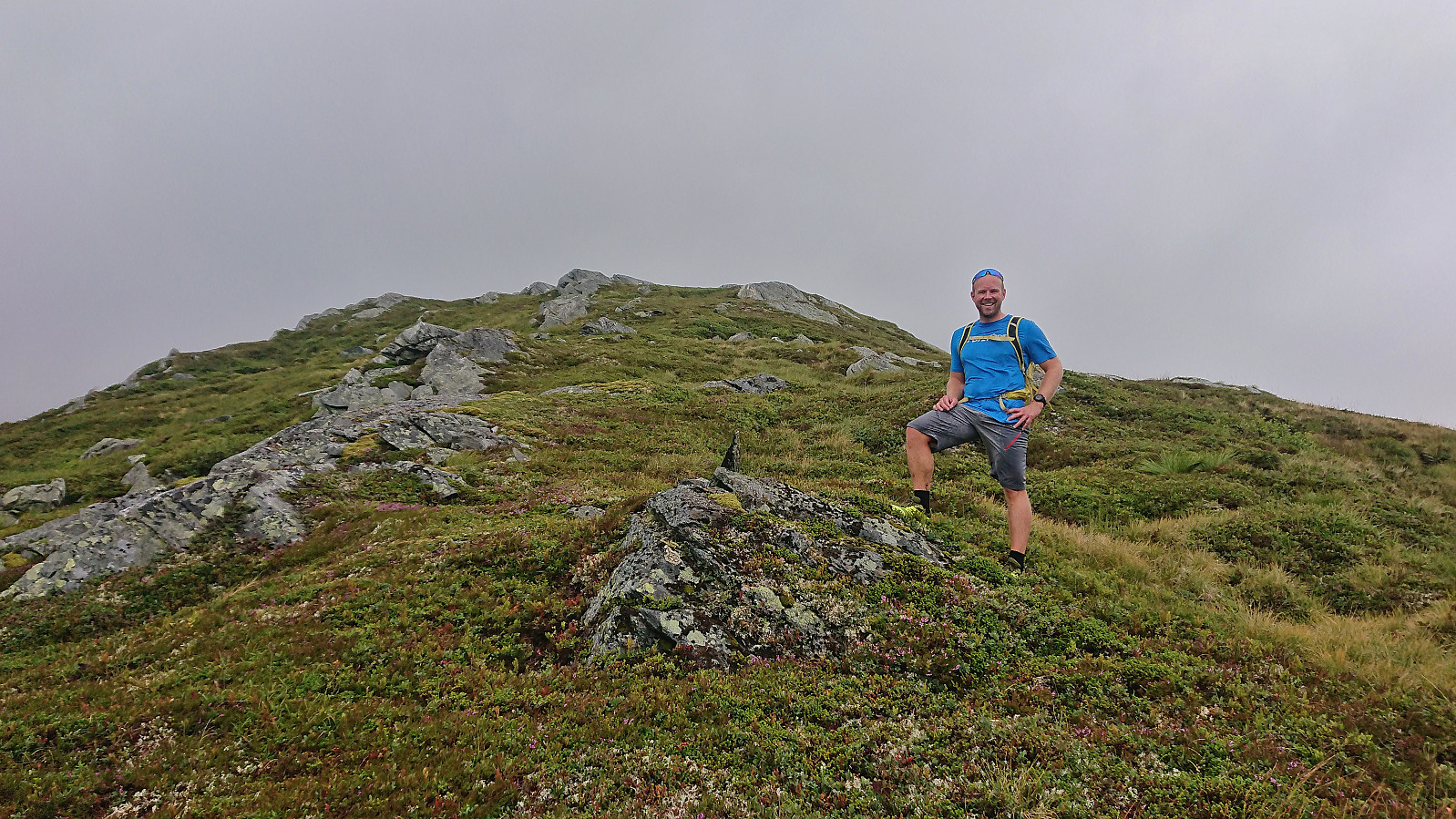
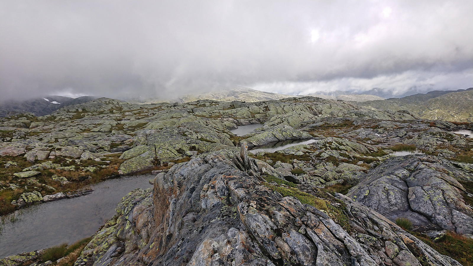
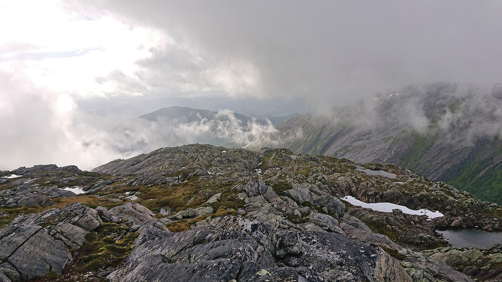
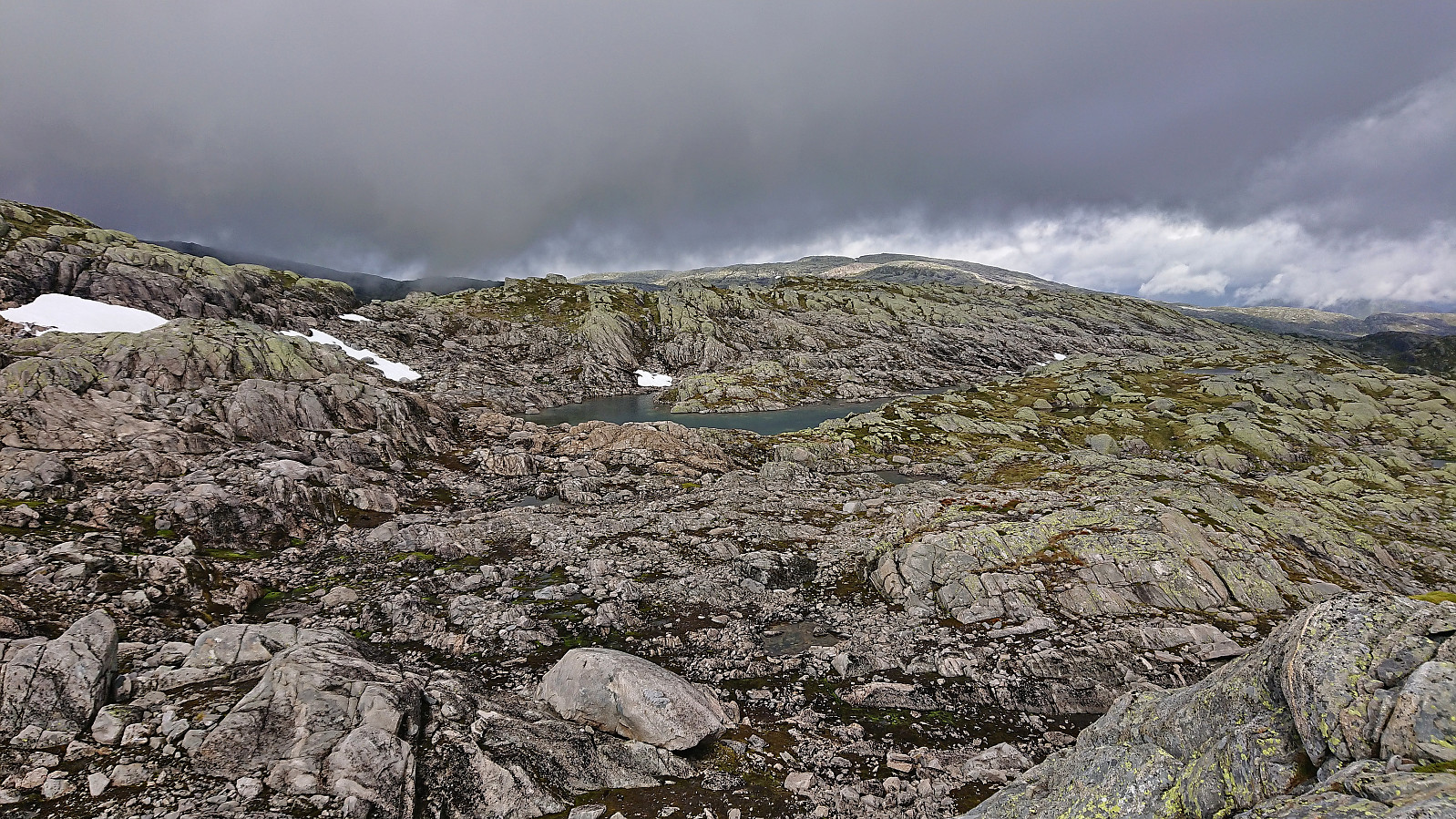
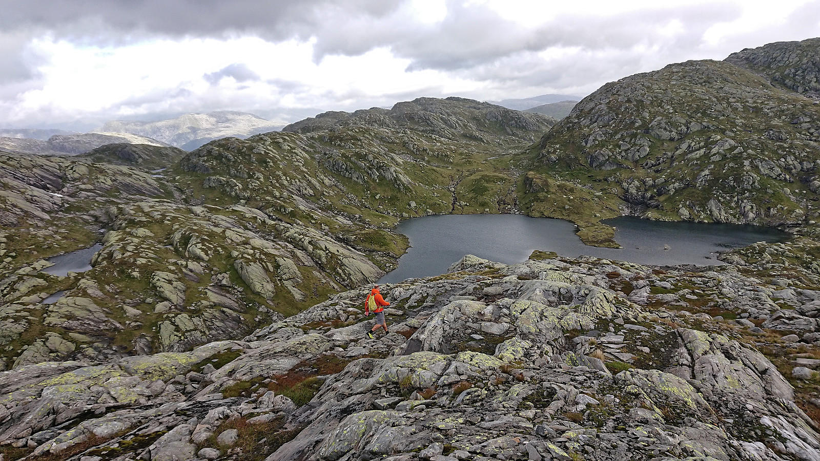
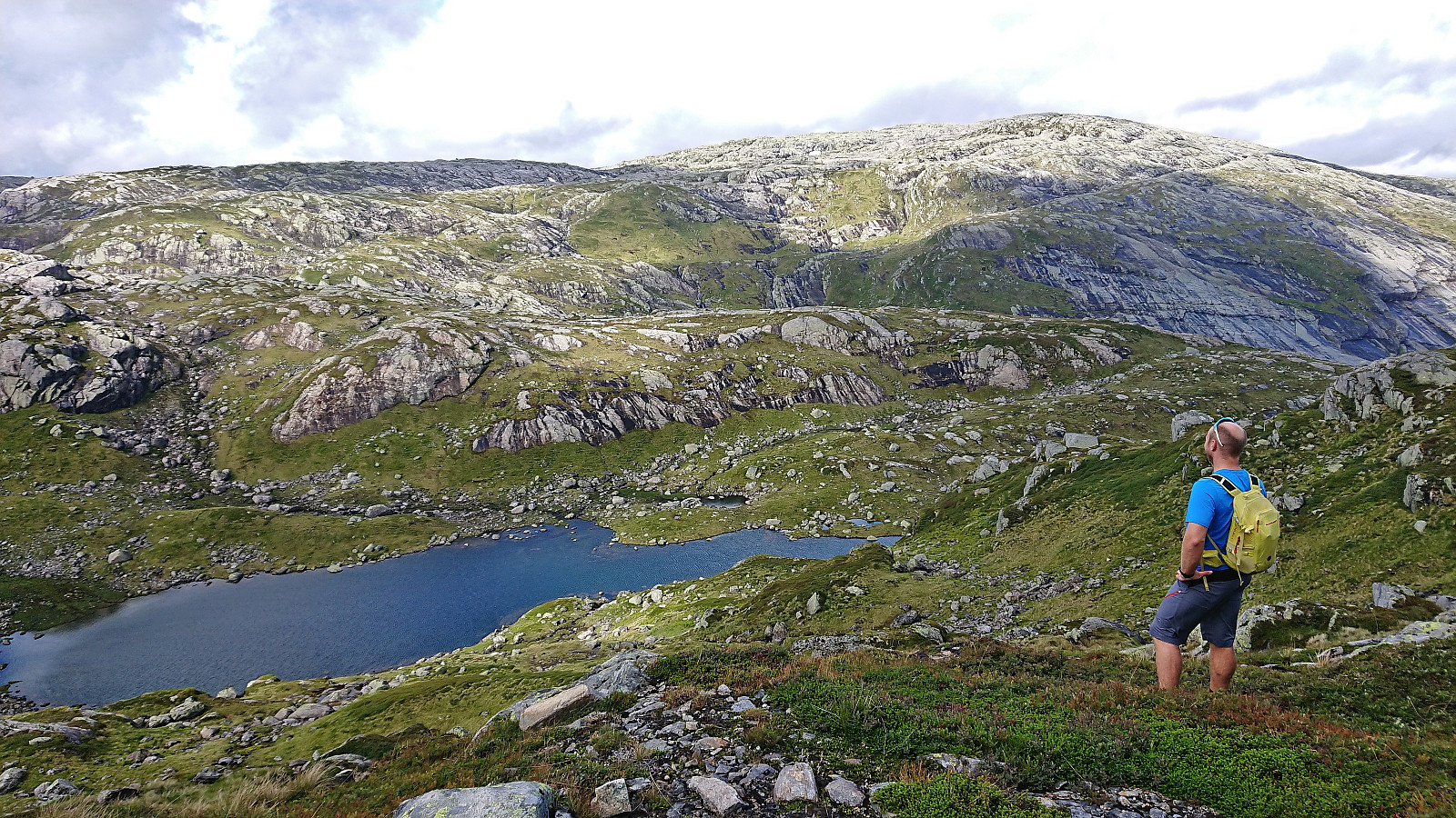
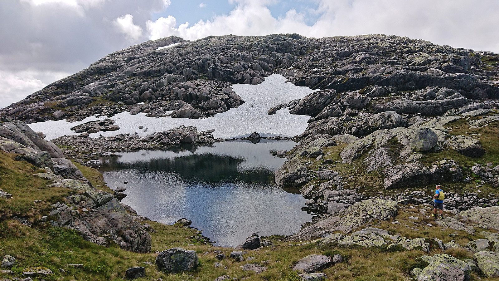
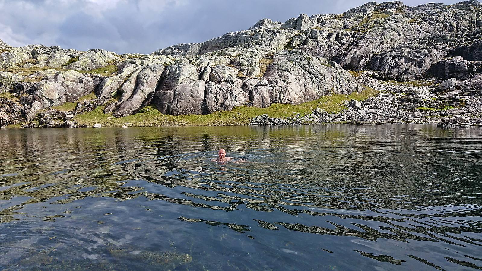
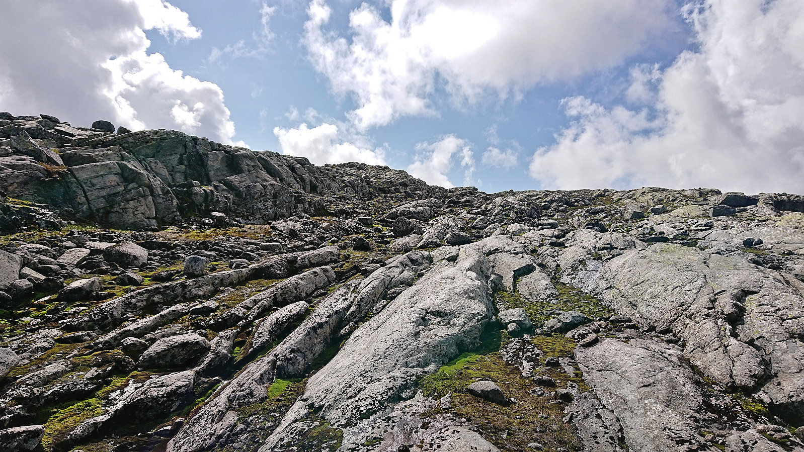
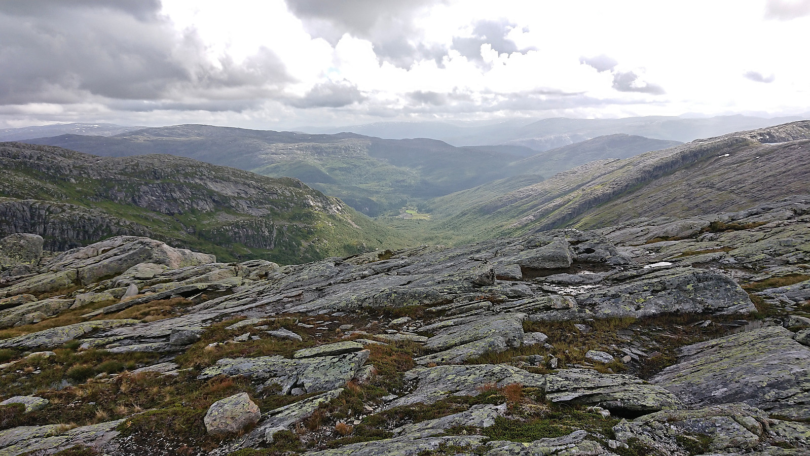
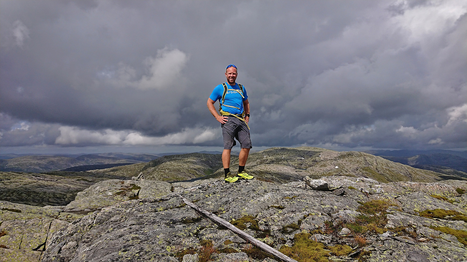
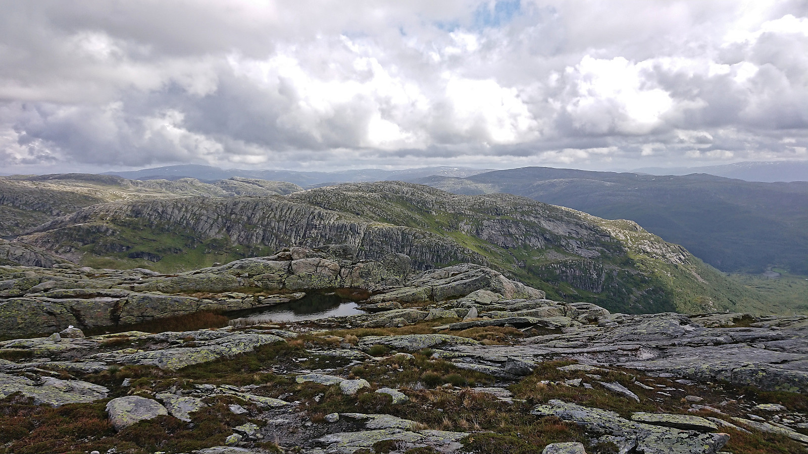
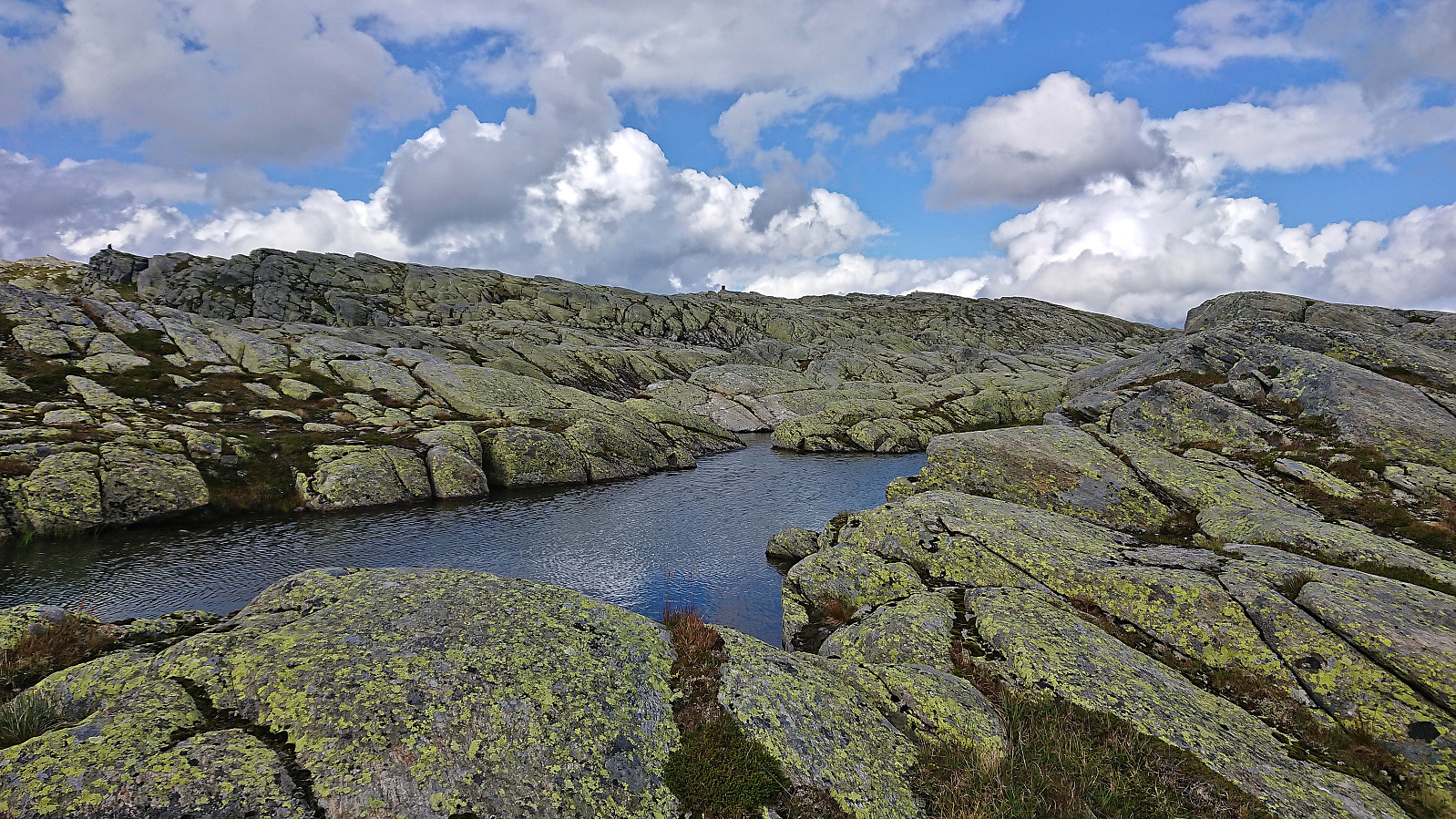
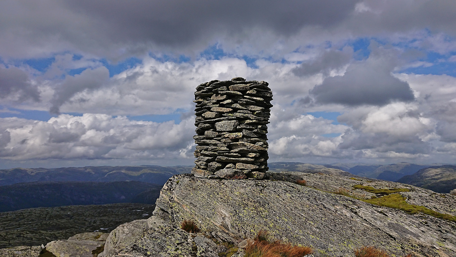
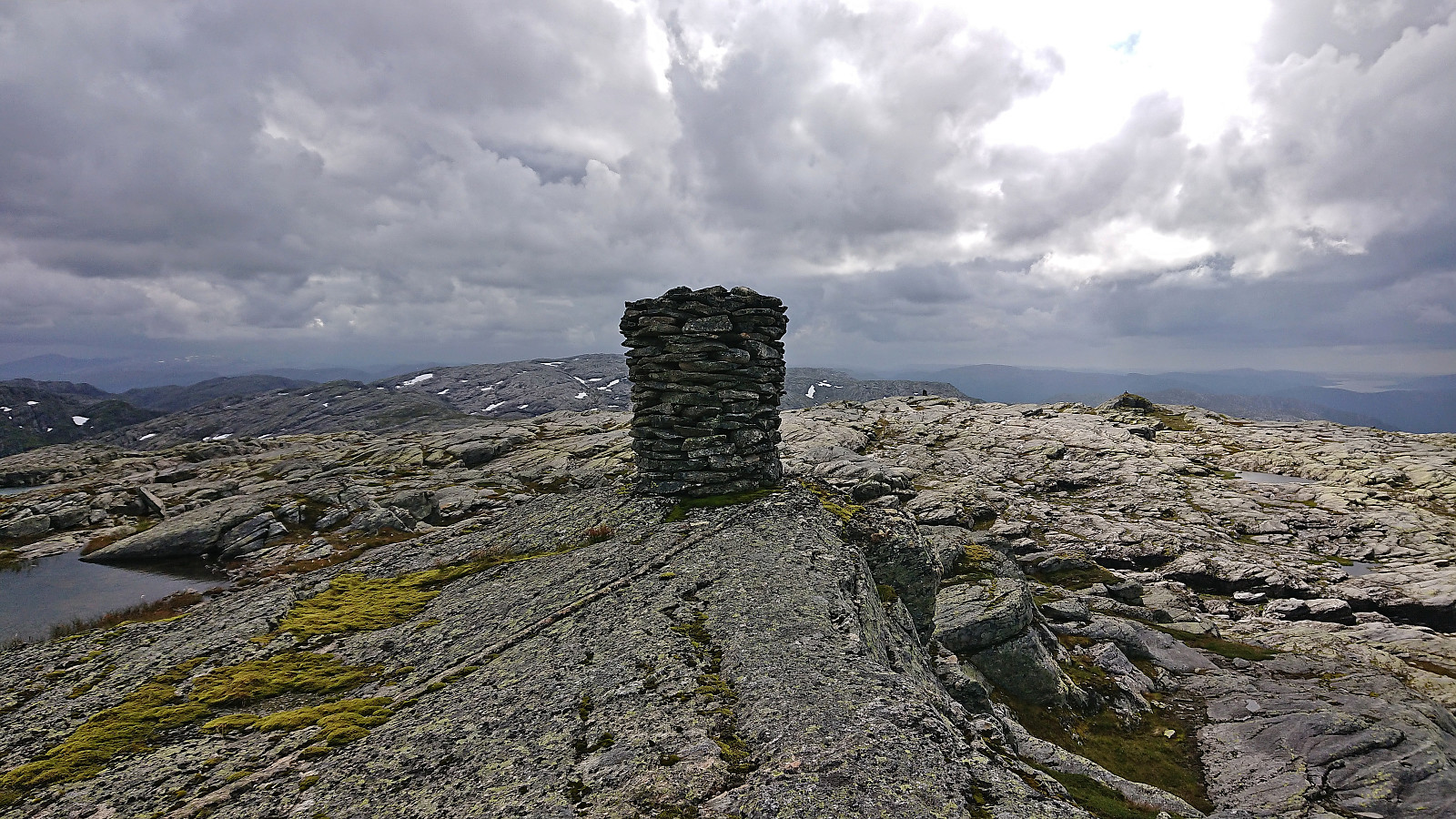
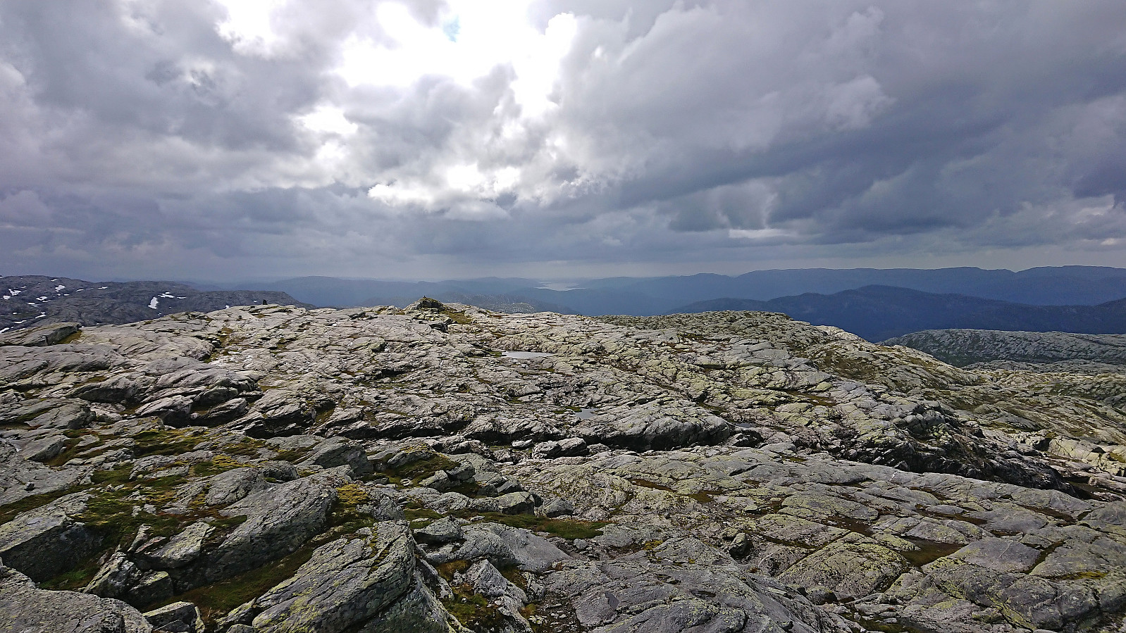
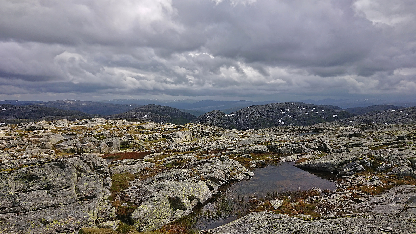
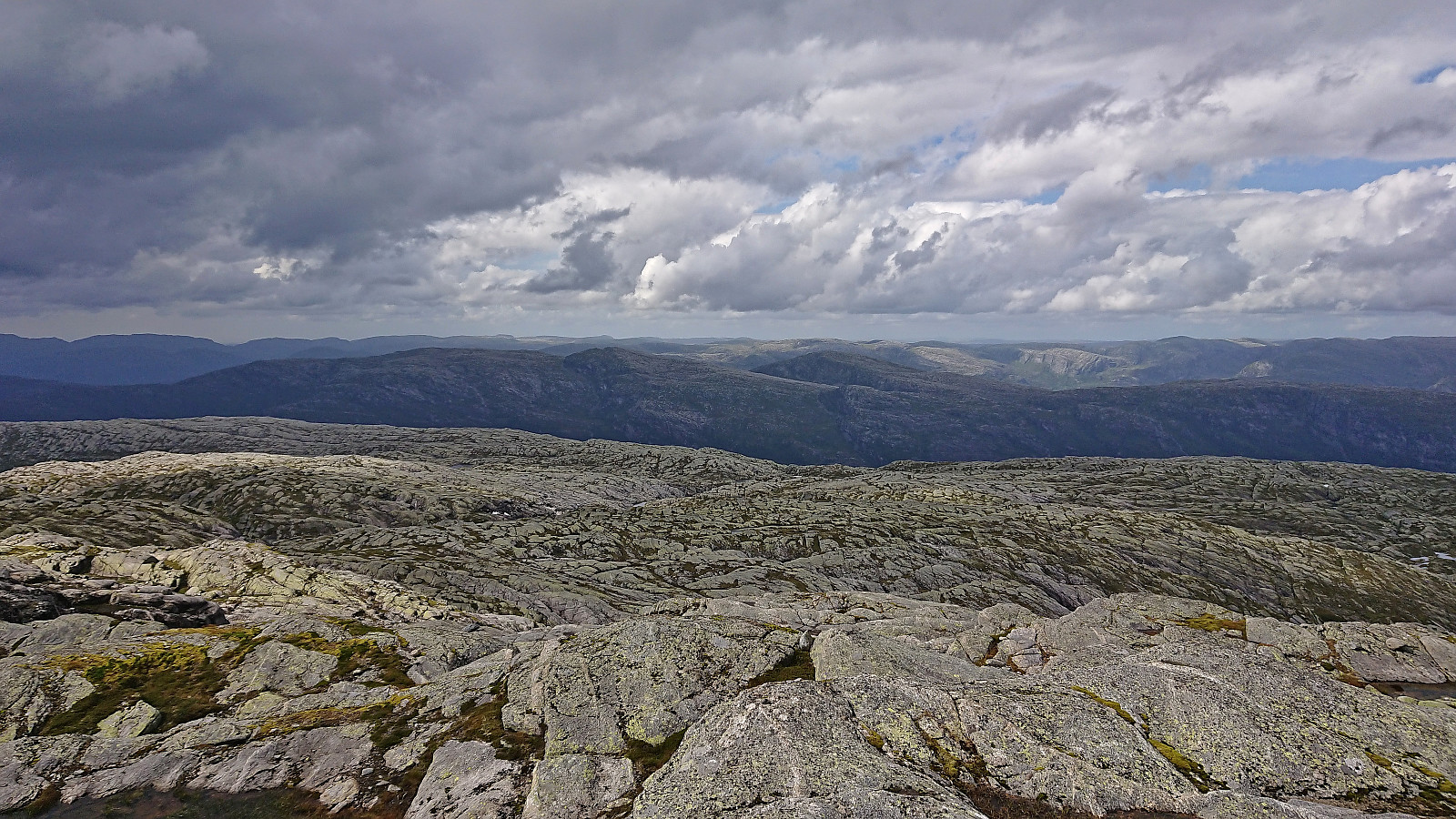
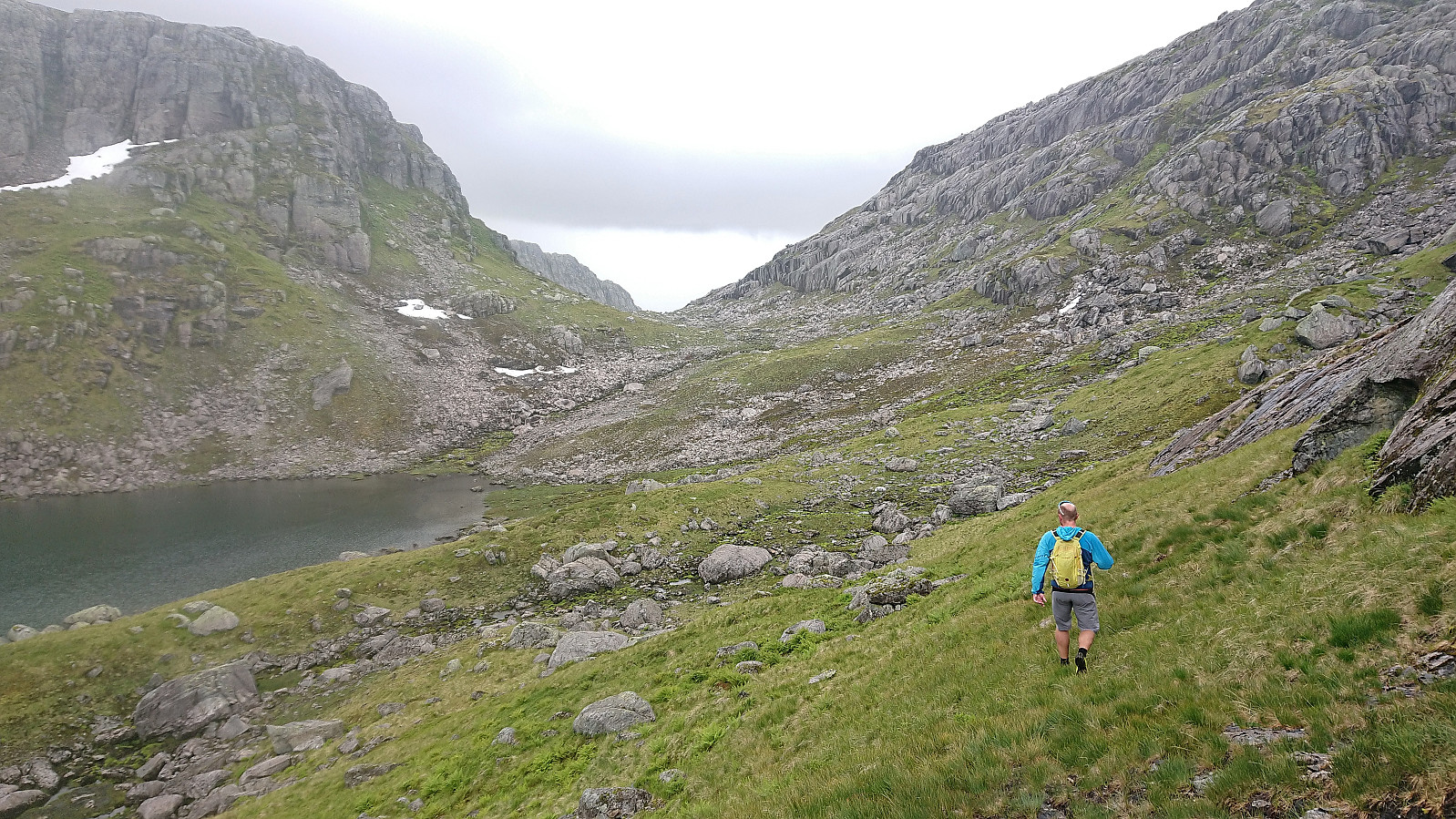
The rest of the ascent to Sørdalsfjellet was straightforward and even included Endre taking a quick dip in one of the many small lakes we passed along the way. After a couple of pictures at the summit, we decided that the best route to Saudalsnovi was to descend into Sørdalsskaret and then head to Oksetjørni to begin the ascent. This turned out to be straightforward and the ascent itself did not present any issues either, except for including lots of small hills and lakes that had to be navigated. Saudalsnovi provided excellent views and a nice location for a late lunch break.
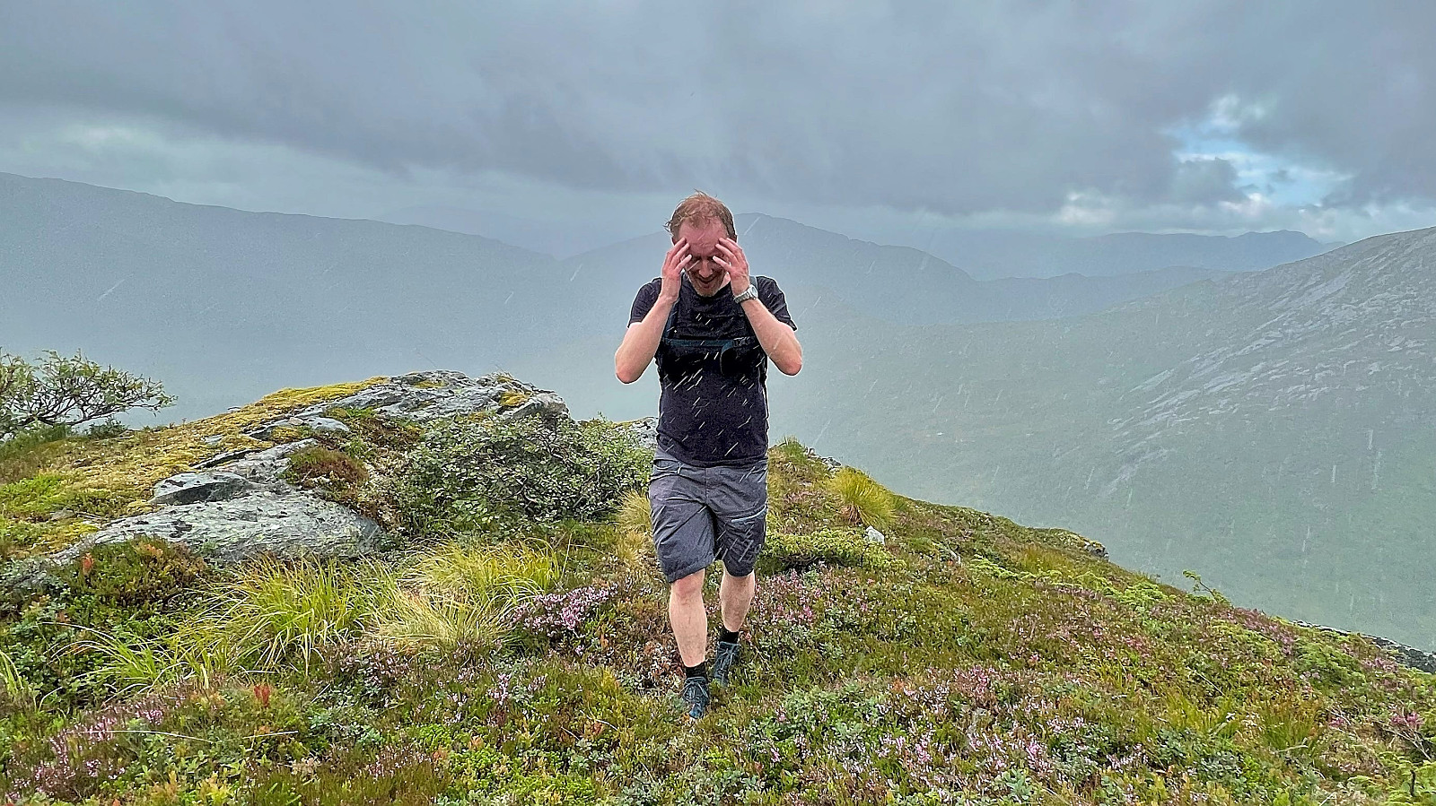
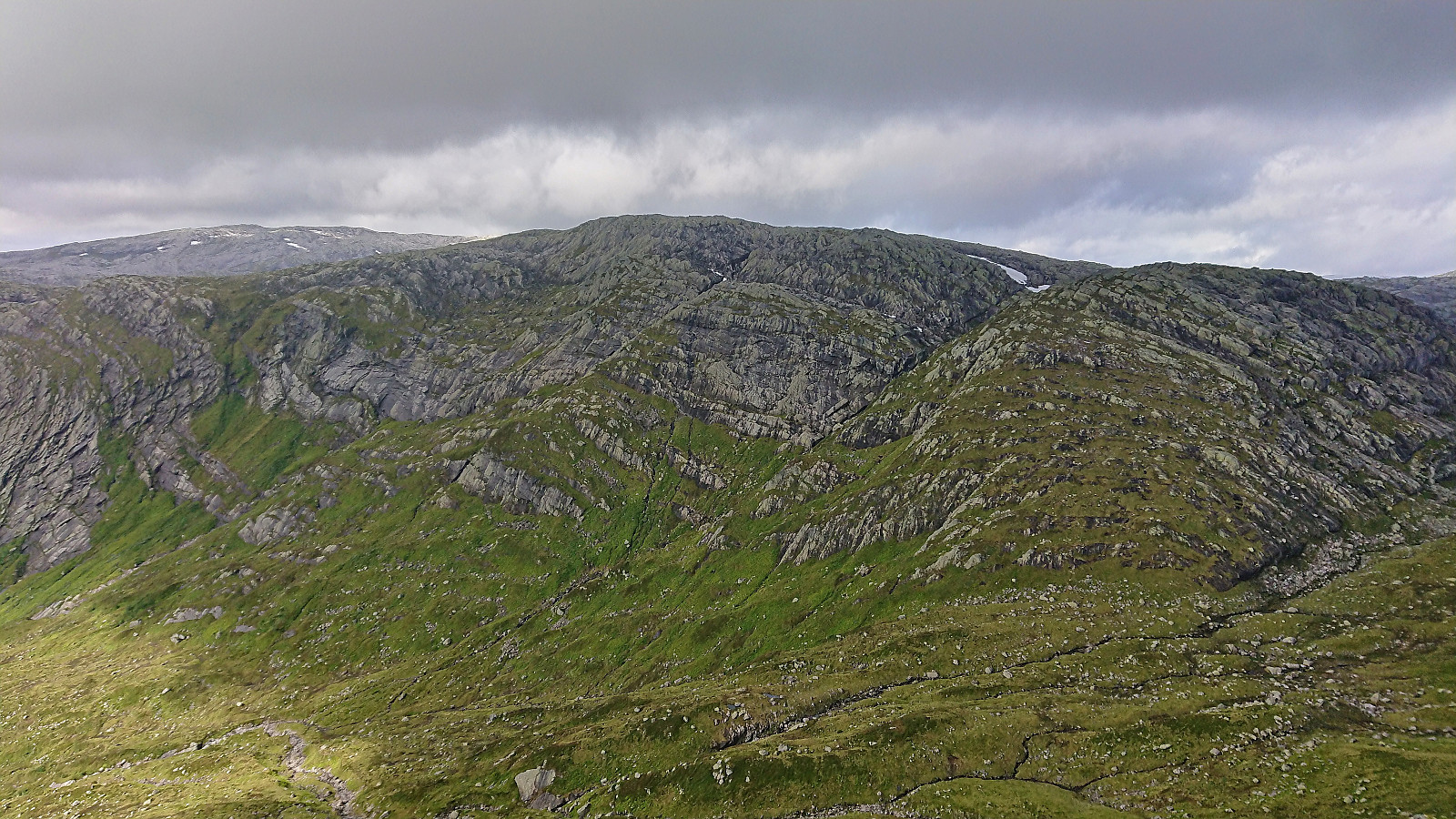
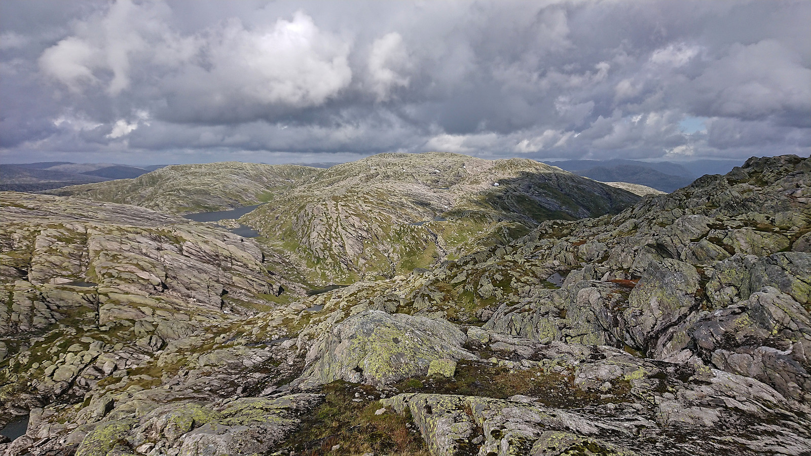
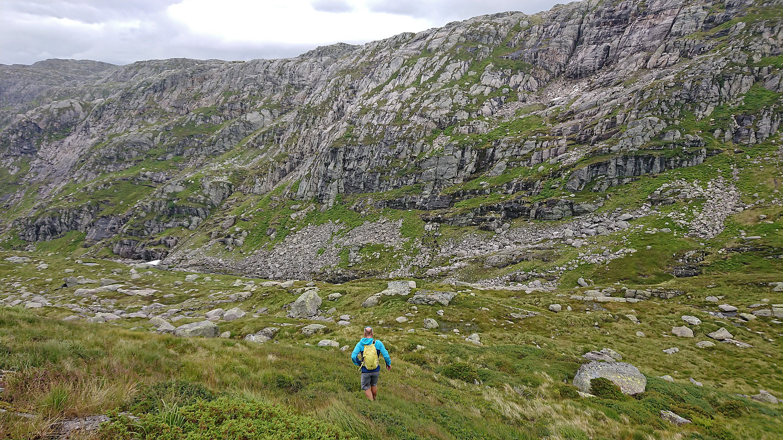
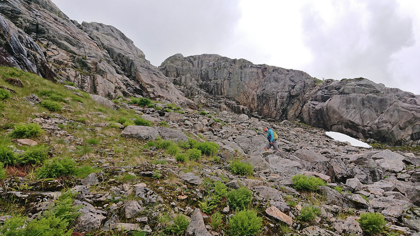
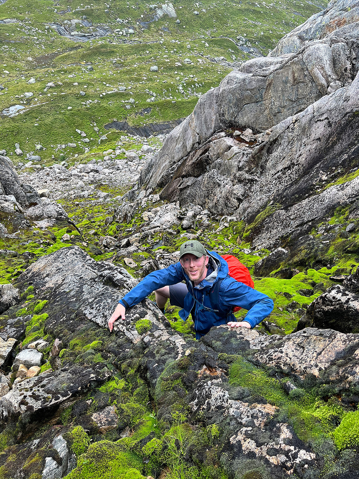
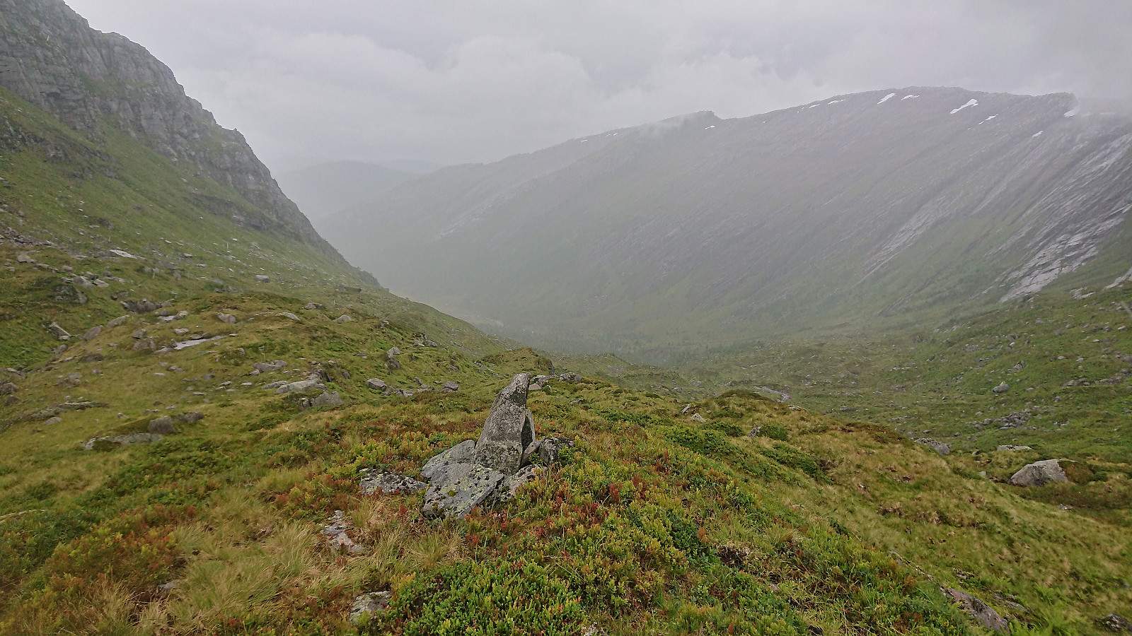
All that remained was now to find a good route back to the car. In order to avoid having to reascend Sørdalsfjellet, we instead headed south into Sørdalen where we managed to find a steep but unproblematic shortcut back up to Brattefonntjørni. From there we basically followed the trail via Norddalen back to Øykholmane. The trail was however often difficult to see, even though there were the occasional cairn and red trail marker, and pretty much disappeared altogether as we got to the wet area northwest of Norddalsstølen. And it did not help that it again started raining heavily just as we started our descent into Norddalen.
To add to the challenge, there were also lots of curious cows to navigate, first at the bottom of Vardabrekkene and later around the cabins at Øykholmane, but except for one or two close encounters we managed to find our way around them without disturbing them or them taking too much interest in us. Note that shortly after Norddalsstølen the trail quality improved quite a bit and stayed that way until the northernmost cabins at Øykholmane, where we in any case had to leave the trail to avoid the cows.
To conclude, a nice hike but in much wetter conditions than we had hoped for and with more sheep and cows to deal with than expected. Takk for turen Endre!

| Starttidspunkt | 12.08.2023 09:44 (UTC+01:00 ST) |
| Sluttidspunkt | 12.08.2023 17:49 (UTC+01:00 ST) |
| Totaltid | 8t 05min |
| Bevegelsestid | 6t 47min |
| Pausetid | 1t 18min |
| Snittfart totalt | 2,6km/t |
| Snittfart bevegelsestid | 3,1km/t |
| Distanse | 21,0km |
| Høydemeter | 1443m |

Kommentarer