Marietoppen (20.07.2023)

| Start point | Saganeset (7m) |
|---|---|
| Endpoint | Rådalen (60m) |
| Characteristic | Hike |
| Duration | 1h 08min |
| Distance | 4.0km |
| Vertical meters | 147m |
| GPS |
|
| Ascents | Marietoppen (57m) | 20.07.2023 |
|---|
Marietoppen
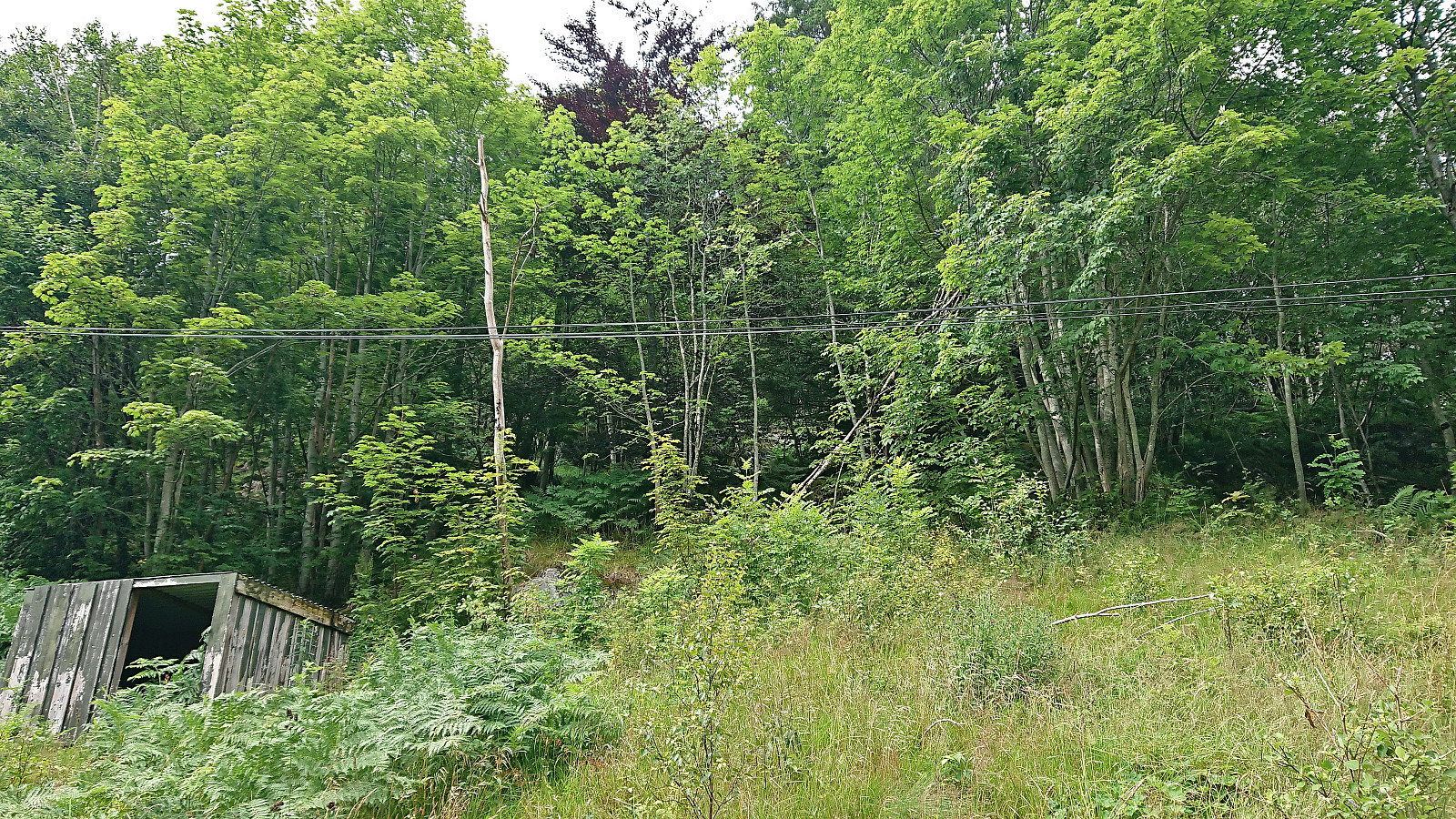
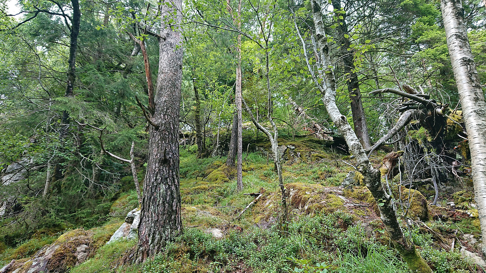
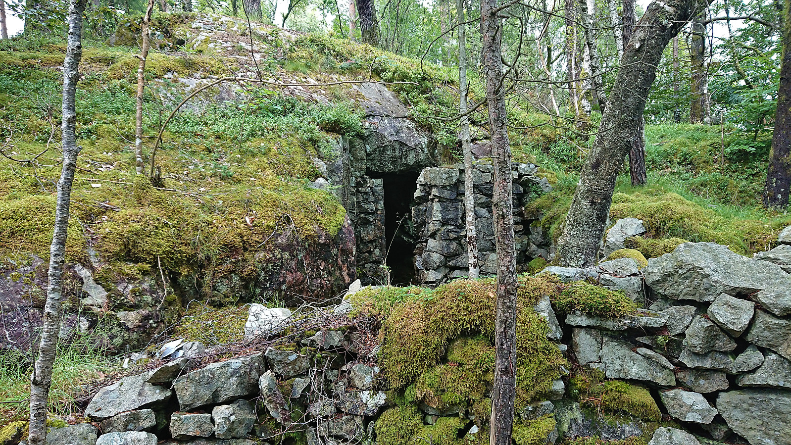
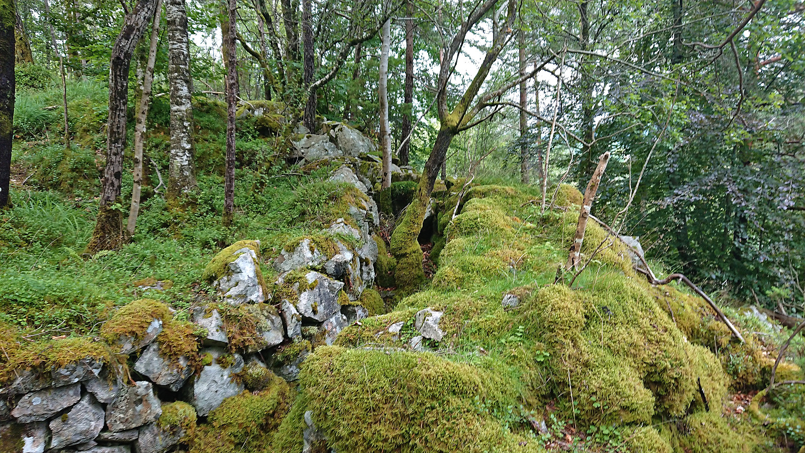
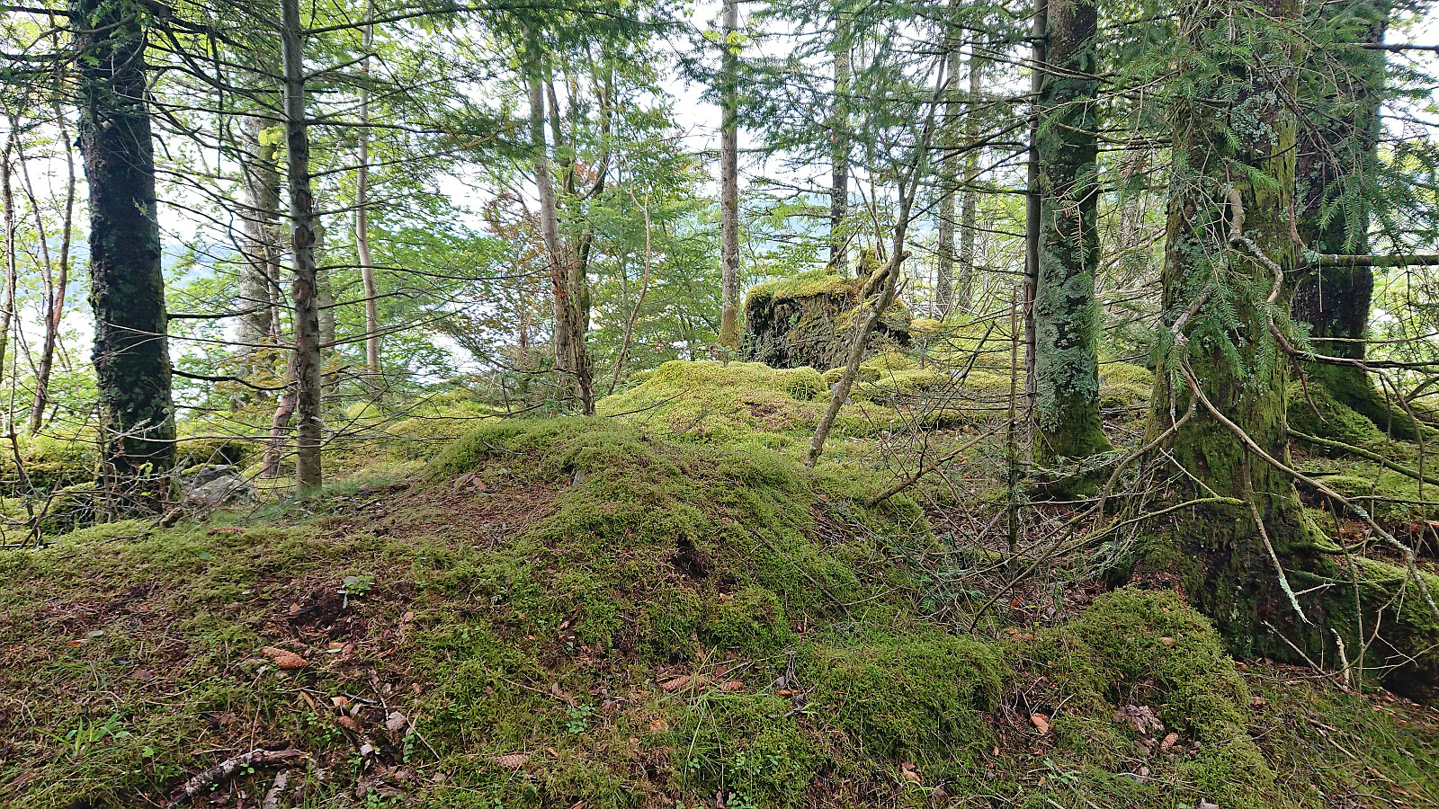
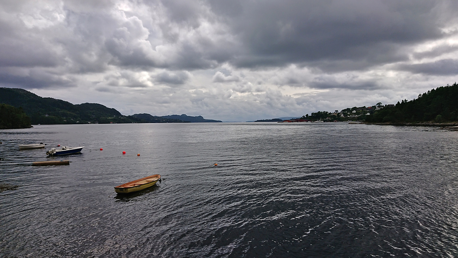
Short hike in Fana with the main objective of visiting Marietoppen. Limited views from the summit but lots of traces from World War II. The summit area could be reached from the south without any trespassing. After descending the same way I continued north along Fanafjorden.

| Start date | 20.07.2023 15:55 (UTC+01:00 DST) |
| End date | 20.07.2023 17:04 (UTC+01:00 DST) |
| Total Time | 1h 08min |
| Moving Time | 1h 06min |
| Stopped Time | 0h 2min |
| Overall Average | 3.5km/h |
| Moving Average | 3.6km/h |
| Distance | 4.0km |
| Vertical meters | 147m |

User comments