Vetlavardhytto from Eikelandsosen terminal (14.07.2023)

| Startpunkt | Eikelandsosen terminal (15m) |
|---|---|
| Endpunkt | Eikelandsosen terminal (15m) |
| Tourcharakter | Bergtour |
| Tourlänge | 2h 08min |
| Entfernung | 6,7km |
| Höhenmeter | 385m |
| GPS |
|
| Besuche anderer PBE | Vetlavardhytto (327m) | 14.07.2023 |
|---|
Vetlavardhytto from Eikelandsosen terminal
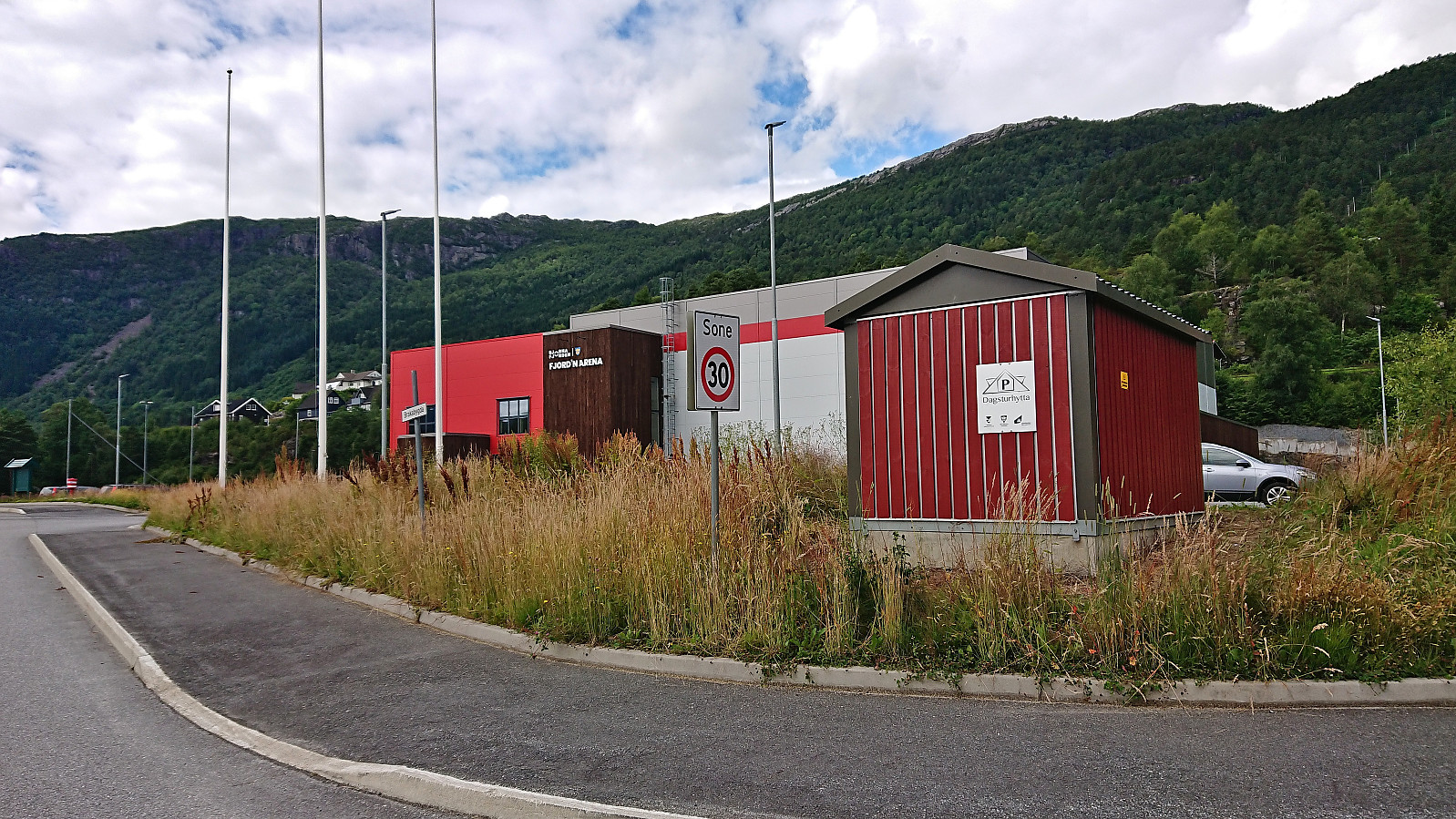
After 4.5 hours on the boat from Sogndal to Bergen the day before, I was not really up for a long hike today. However, the nice weather had to be utilized as it seemed like it would be the last nice day in quite some time. In the end, I settled on Vetlavardhytto in Eikelandsosen. My previous attempt at visiting this cabin had been unsuccessful due to a too short bus connection at Osøyro, hence my current travelling plan added five additional minutes in Osøyro and, combined with less traffic during the summer holiday season, I made the bus to Eikelandsosen without any issues.
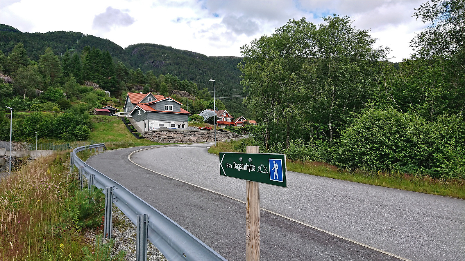
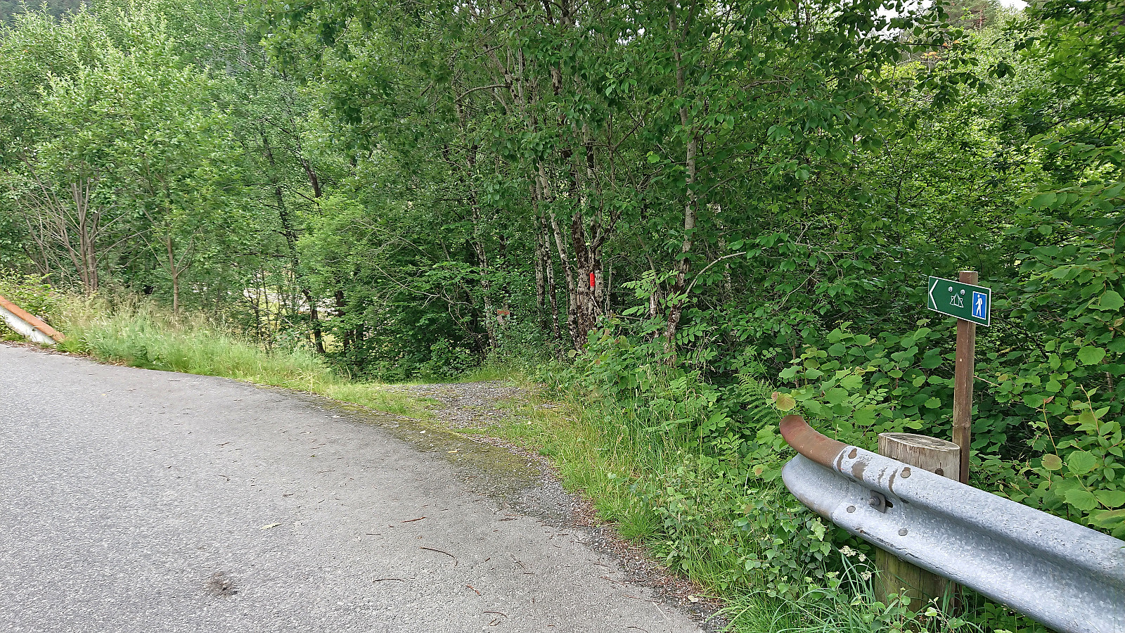
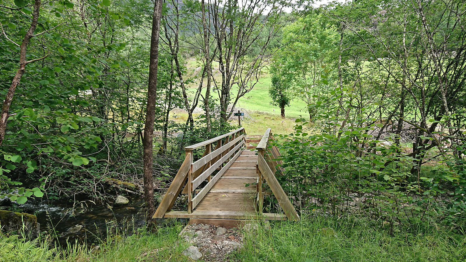
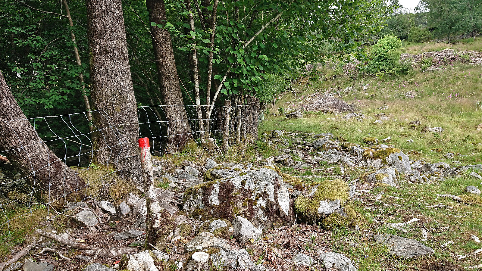
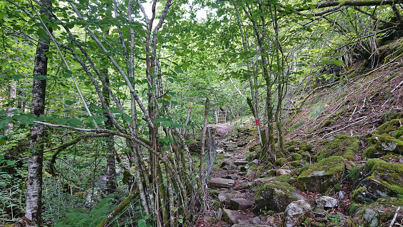
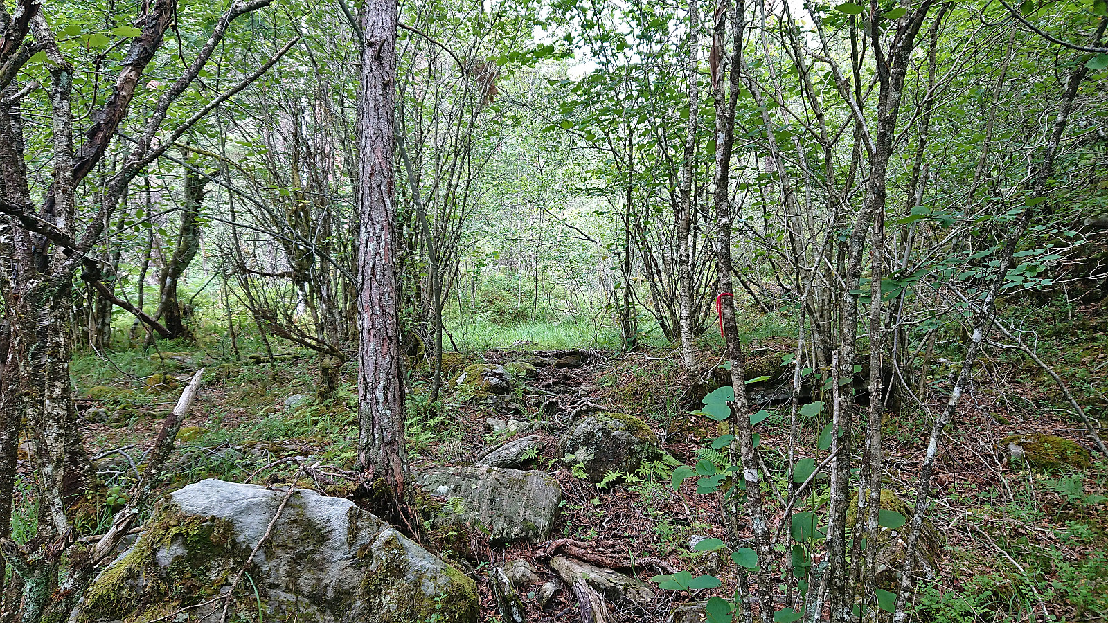
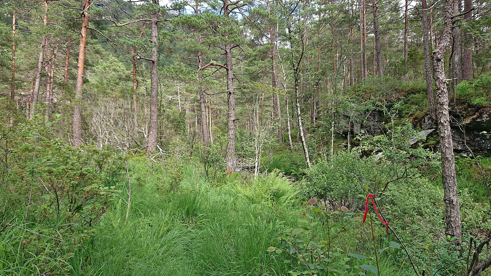
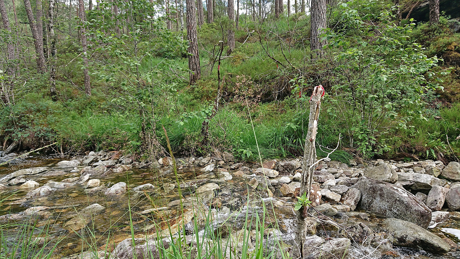
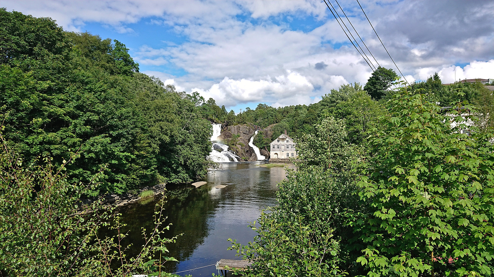
At Eikelandsosen I followed the roads to the marked start of the trail to Vetlavardhytto and crossed the river on a new bridge to start the ascent. The trail was marked with red paint and initially followed the river. Soon the trail markers however changed from red paint to small pieces of red yarn. This should have been a warning sign that perhaps I was no longer on the proper trail. But when the trail also pretty much disappeared, there was no longer any question.
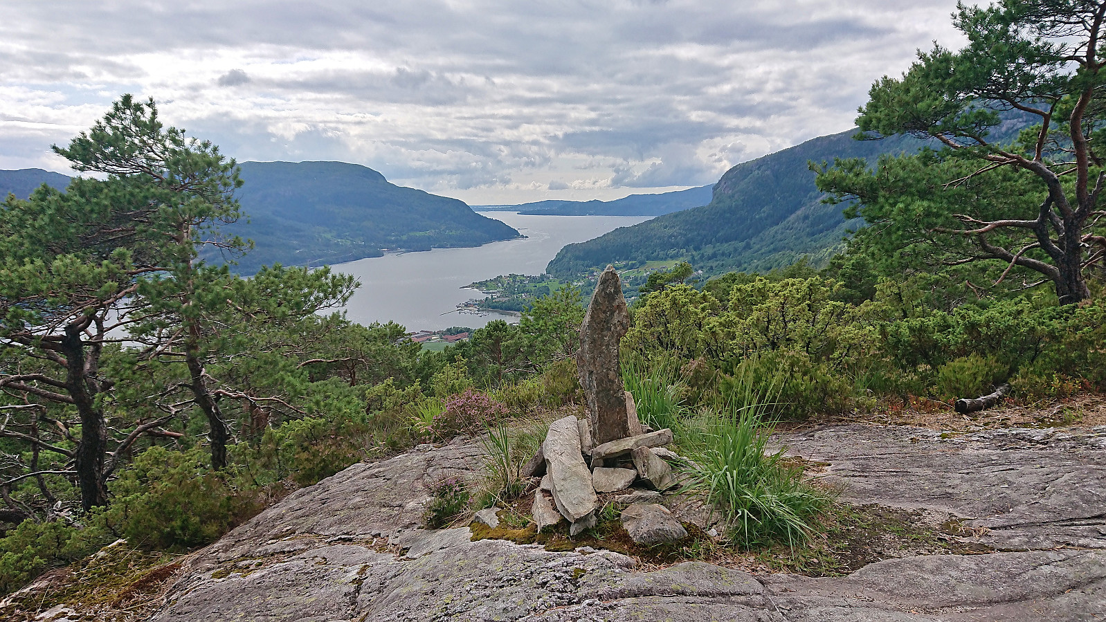
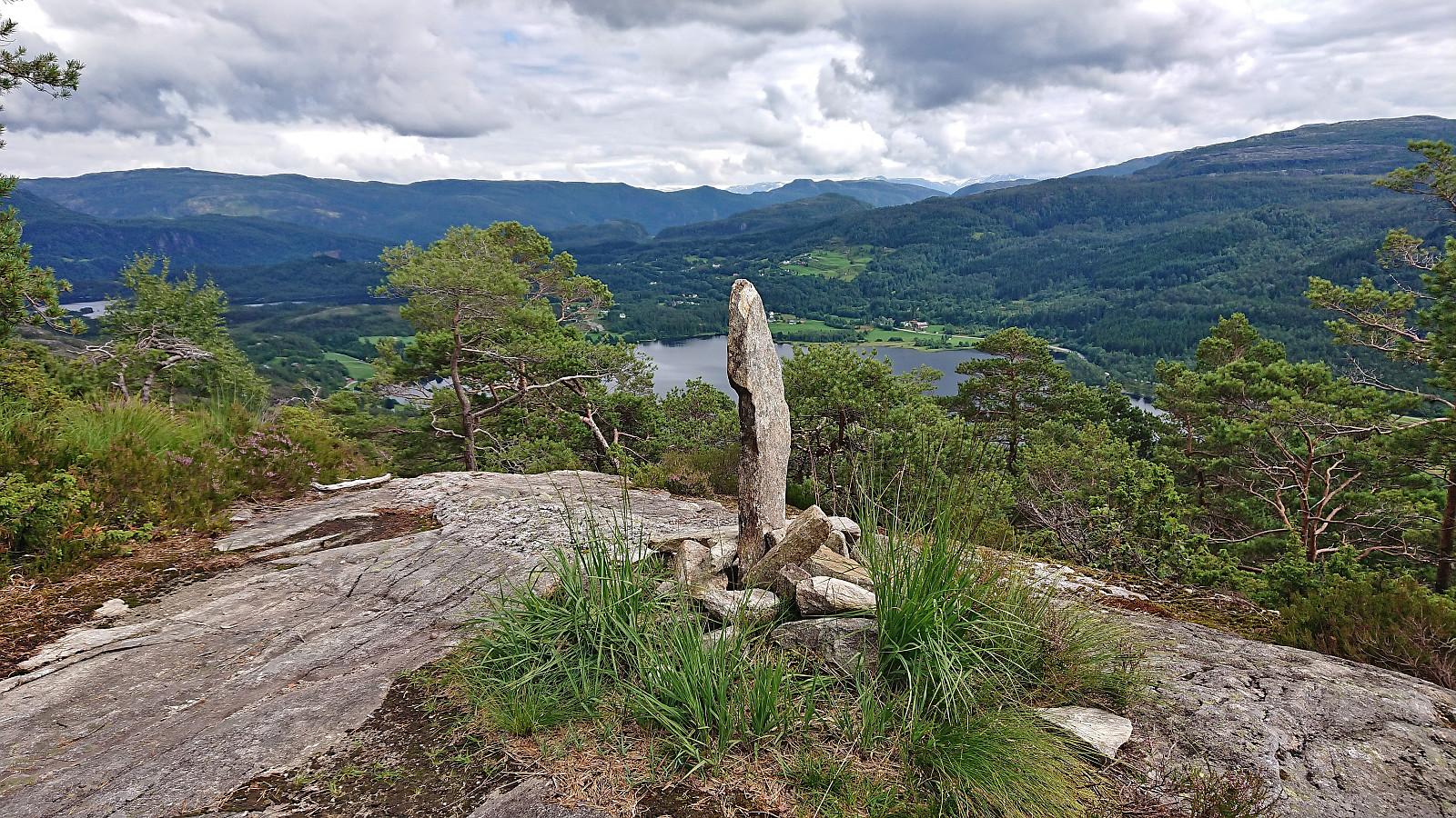
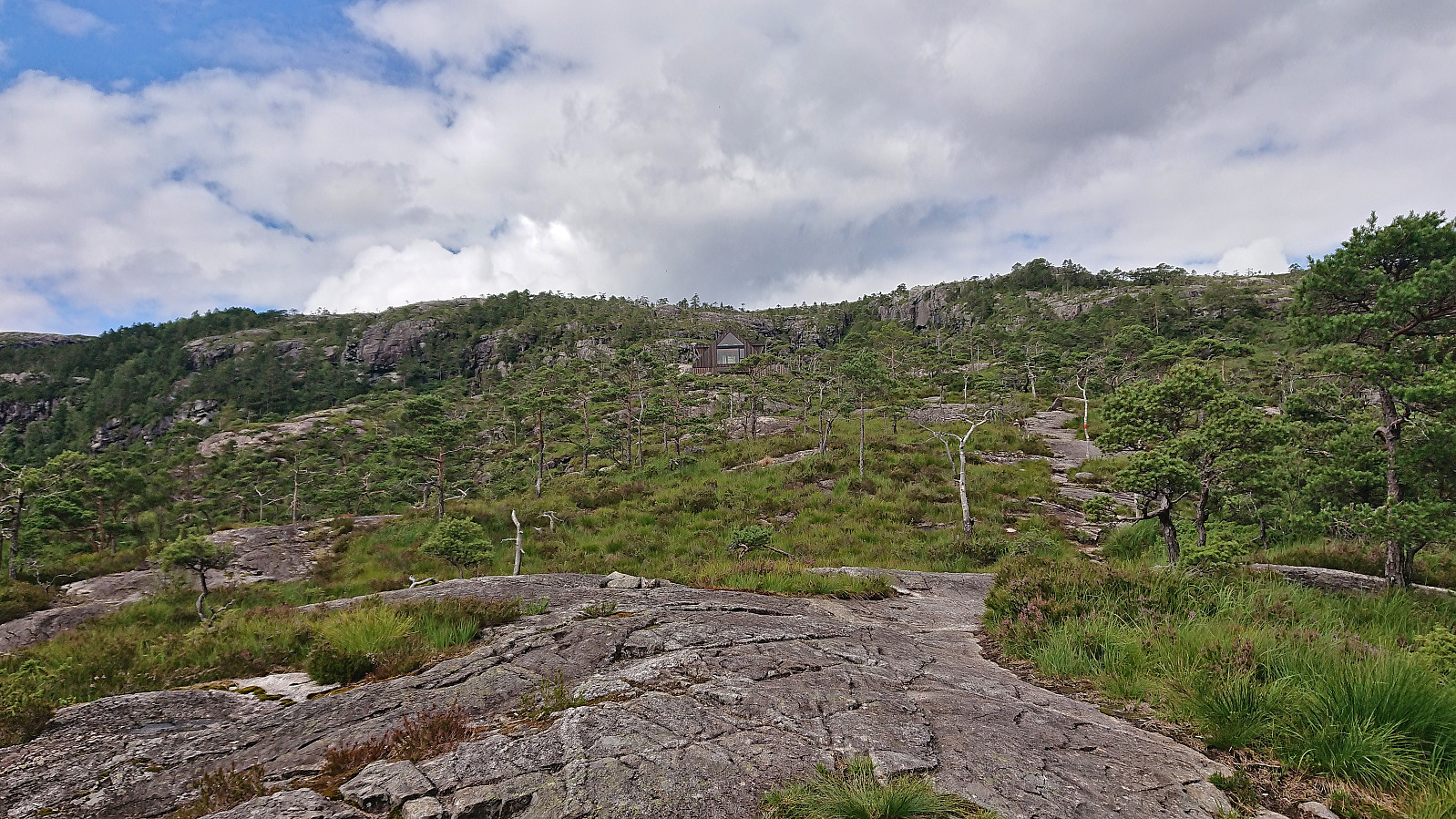
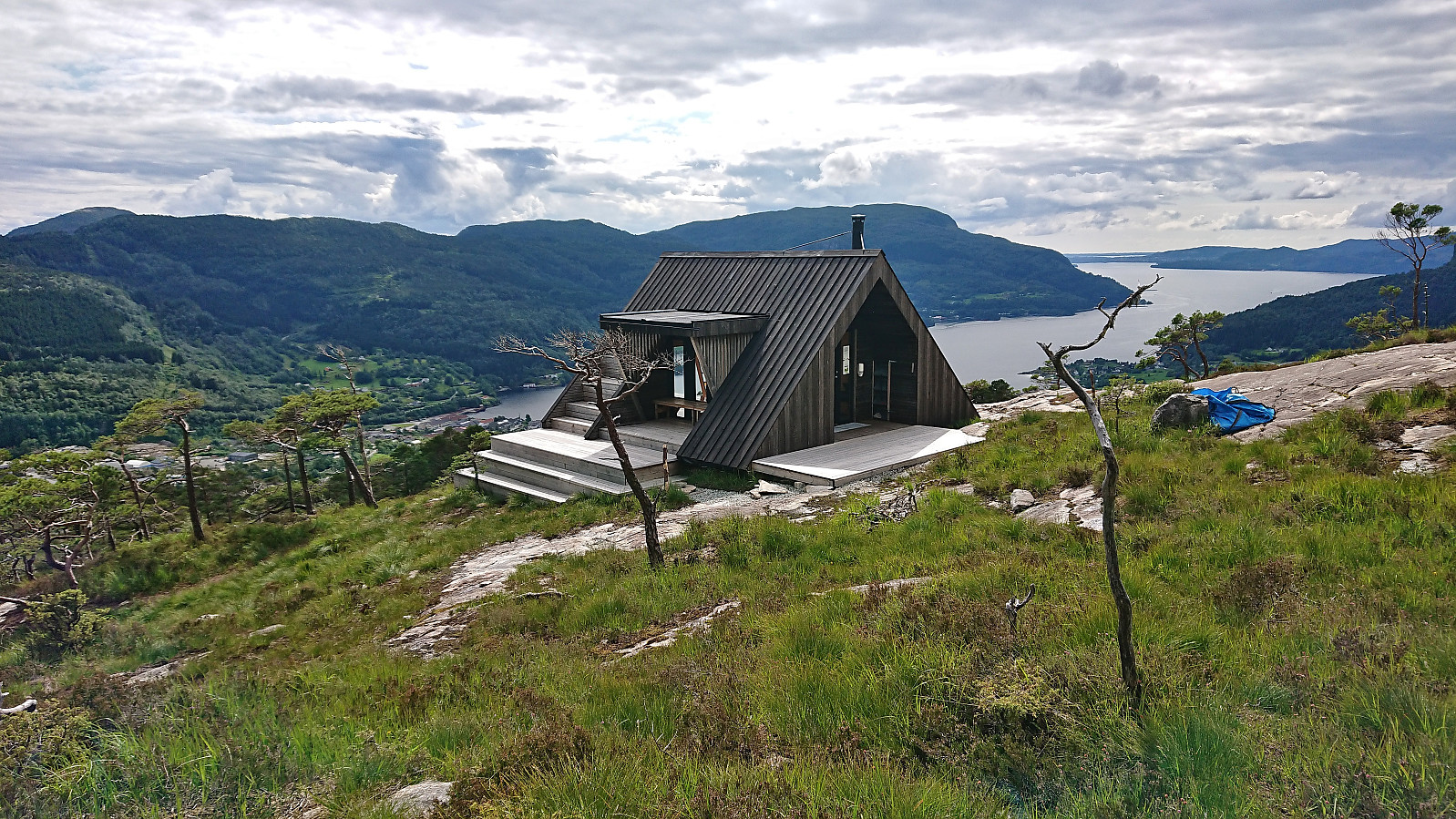
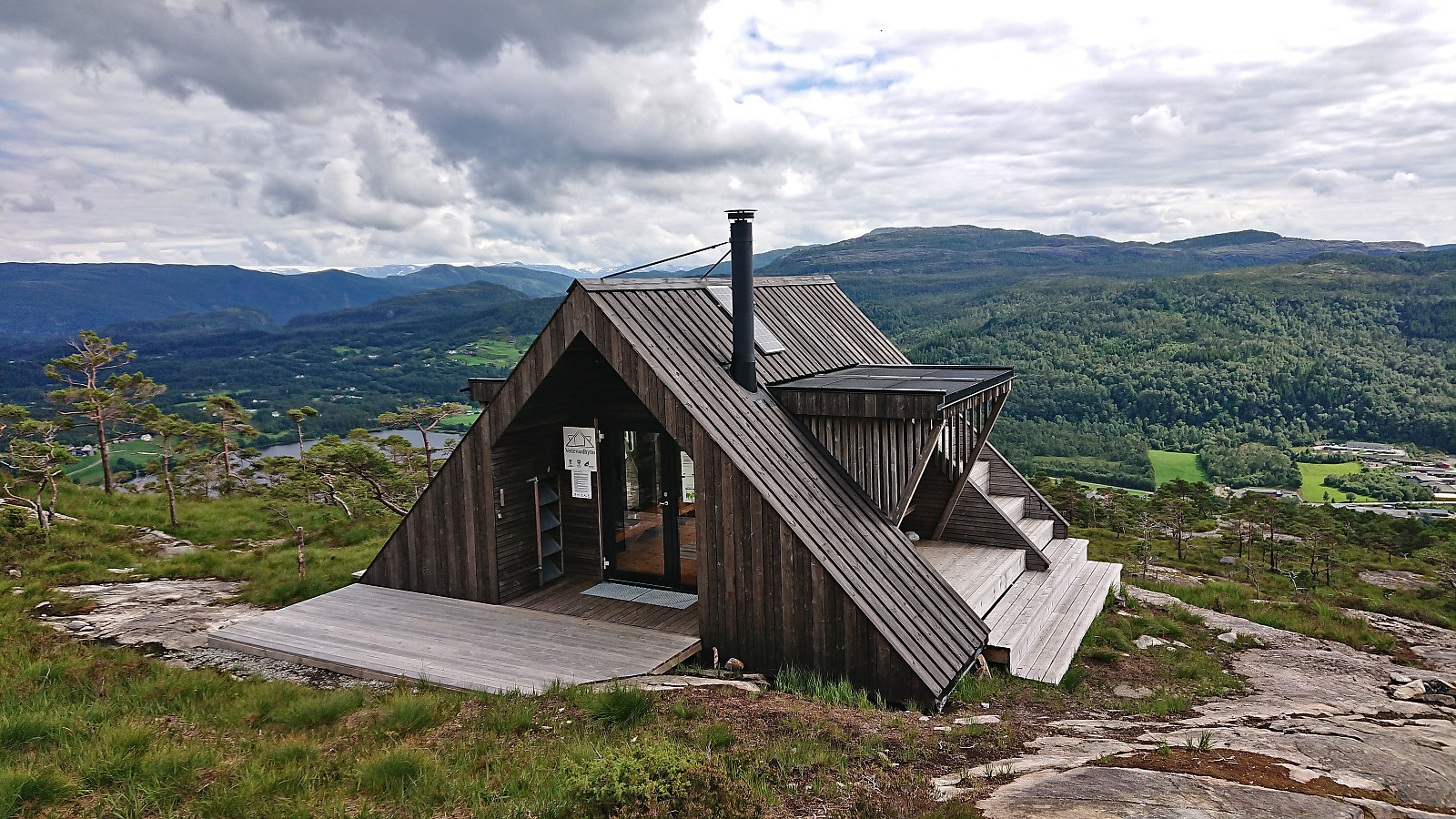
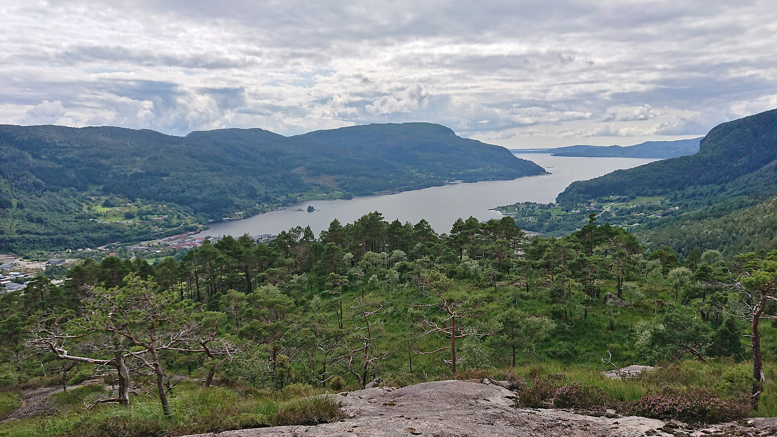
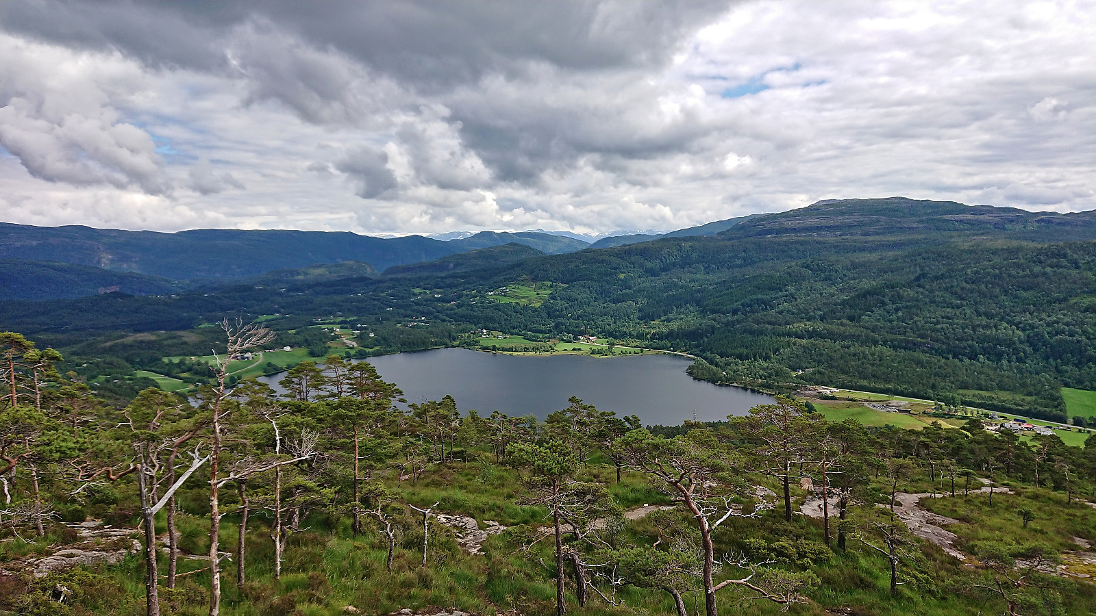
By then I was however rather curious of where this oddly marked trail would take me and as it did not seem to head in the completely wrong direction, I decided to continue. Following the red yarn I crossed the river twice, before finally reconnecting with a more proper trail which I proceeded to follow all the way to Vetlavardhytto. Just below the cabin there was also an older viewpoint called Vetlevardhaugen which provided excellent views across Eikelandsfjorden. Excellent views from Vetlavardhytto as well and a nice location for a very late lunch break before returning along more or less the same route.
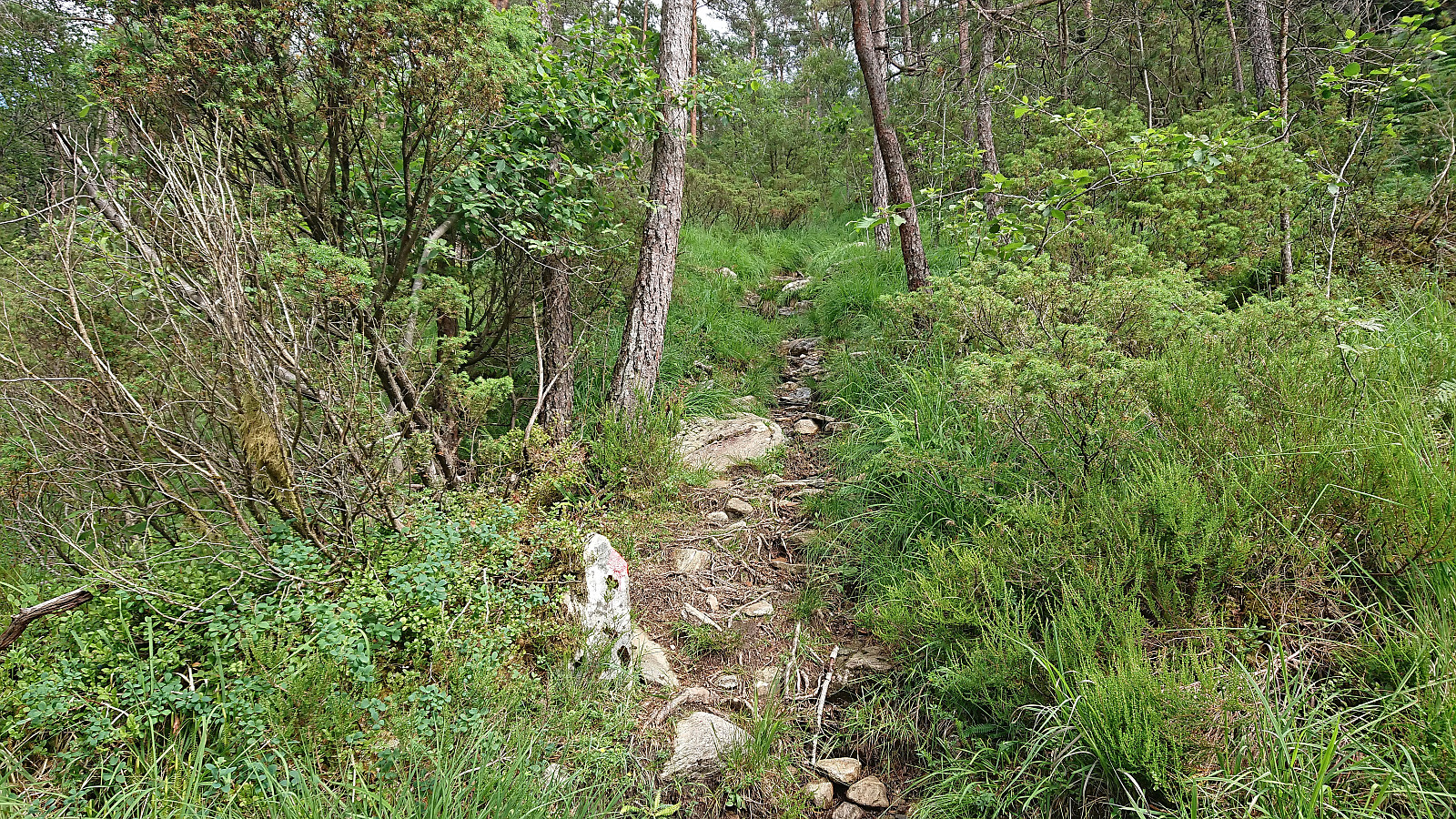
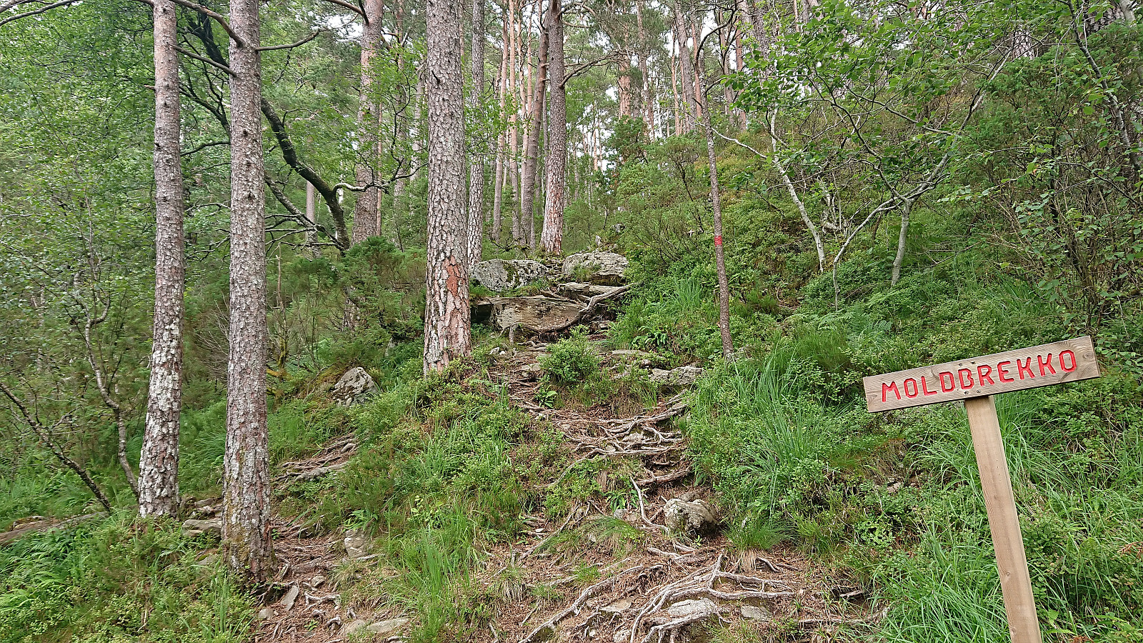
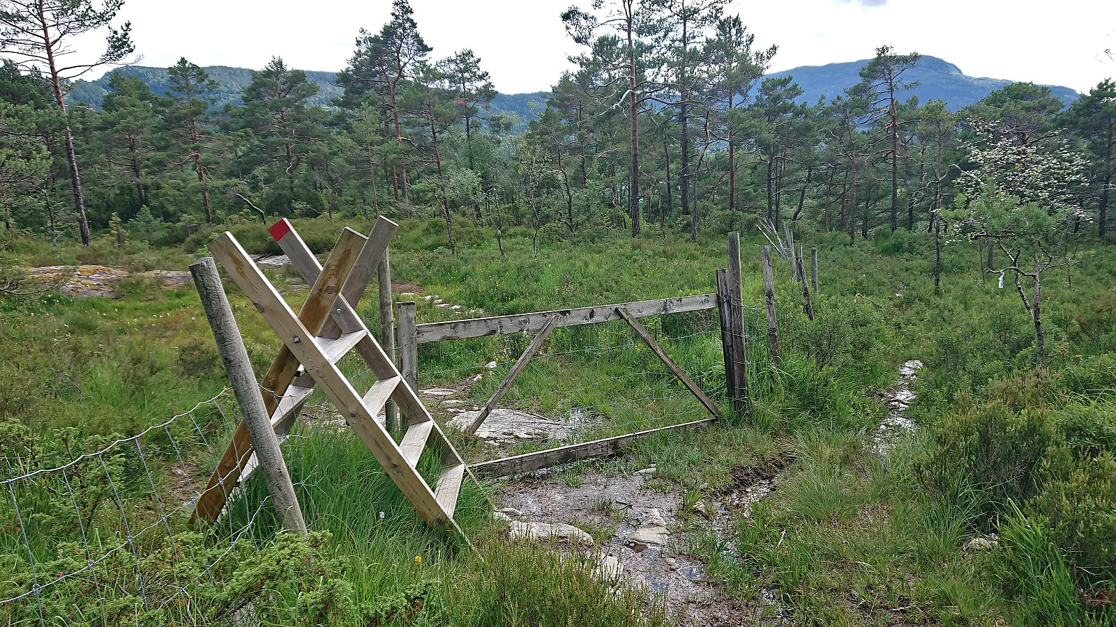
For the descent I briefly considered trying the alternative trail south to Koldal, but instead decided to figure out if there was a better route for the stretch where I had followed the red yarn. This turned out to be the case and I could follow a nice trail all the way to the trailhead. In my defense, there should be some red paint on the ladder crossing the fence next to the crossroads where the red yarn showed up, as otherwise the options are red yarn or no markers at all.
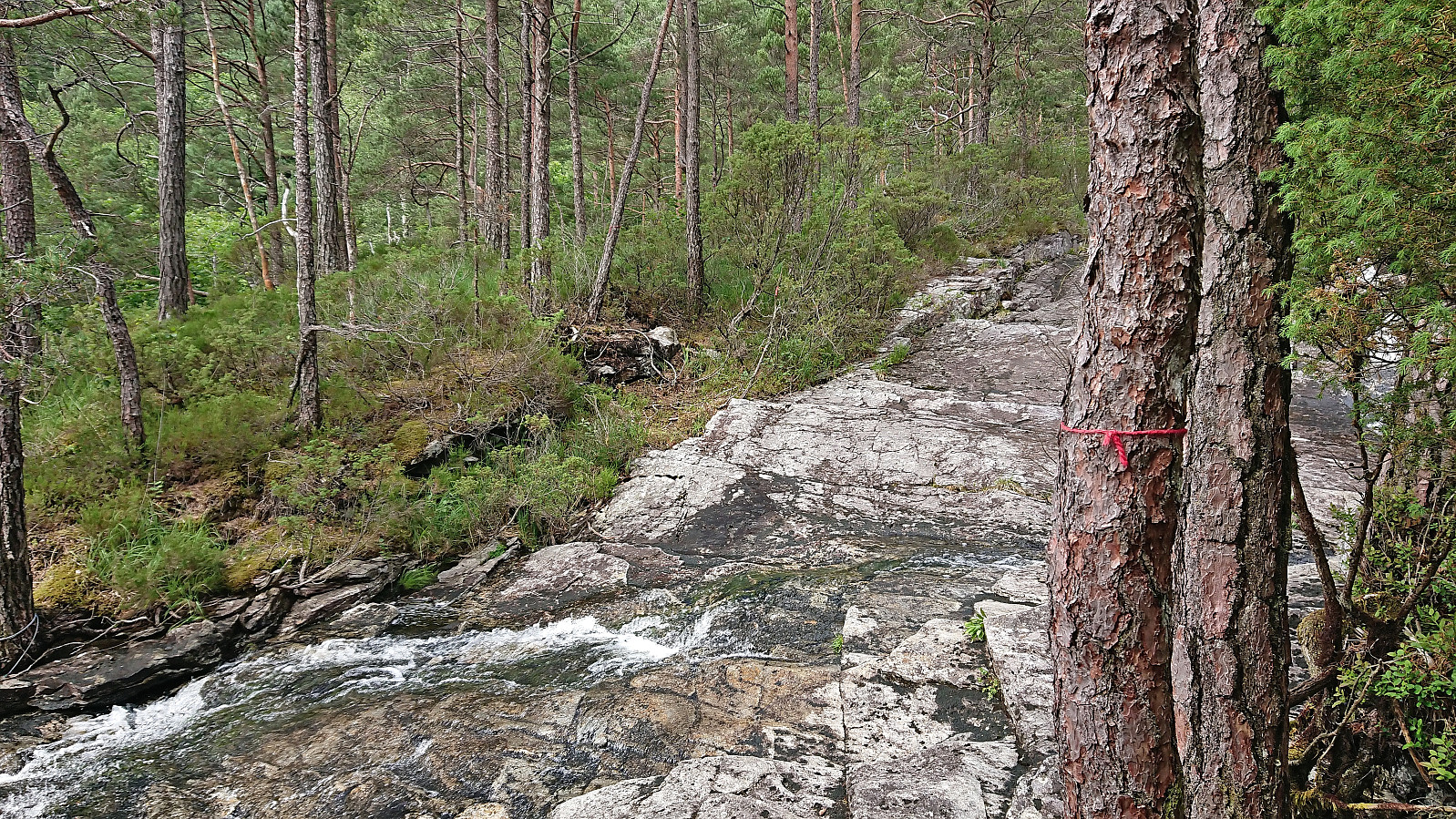
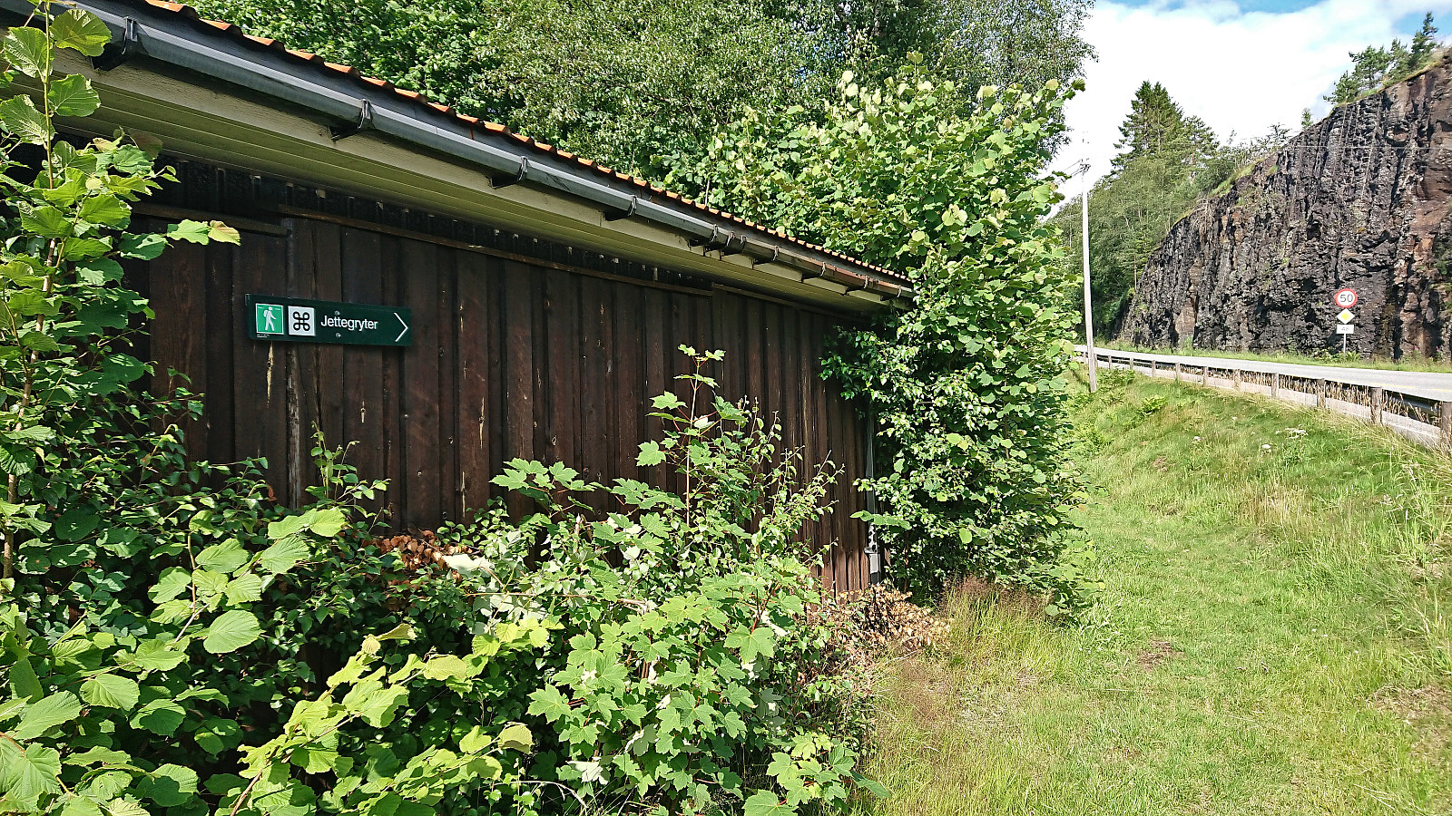
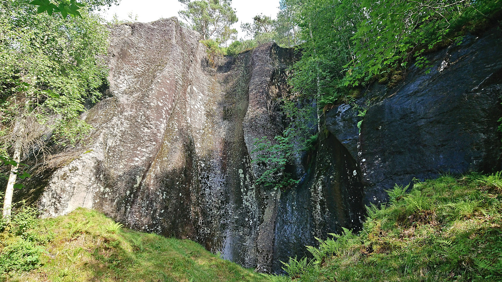
On my way back to Eikelandsosen terminal I made a small detour along Koldalselva to visit some unusually large "jettegryter". This took slightly longer than expected though and I had to run to catch the bus.

| Startzeitpunkt | 14.07.2023 14:58 (UTC+01:00 SZ) |
| Endzeitpunkt | 14.07.2023 17:06 (UTC+01:00 SZ) |
| Gesamtzeit | 2h 08min |
| Zeit in Bewegung | 1h 52min |
| Pausenzeit | 0h 15min |
| Gesamtschnitt | 3,1km/h |
| Bewegungsschnitt | 3,6km/h |
| Entfernung | 6,7km |
| Höhenmeter | 385m |

Benutzerkommentare