Bondehaug from Krossen (11.07.2023)

| Start point | Krossen (500m) |
|---|---|
| Endpoint | Krossen (500m) |
| Characteristic | Jogging |
| Duration | 1h 13min |
| Distance | 5.8km |
| Vertical meters | 234m |
| GPS |
|
| Ascents | Bondehaug (723m) | 11.07.2023 |
|---|---|---|
| Visits of other PBEs | Bondehaug utsiktspunkt (703m) | 11.07.2023 |
Bondehaug from Krossen
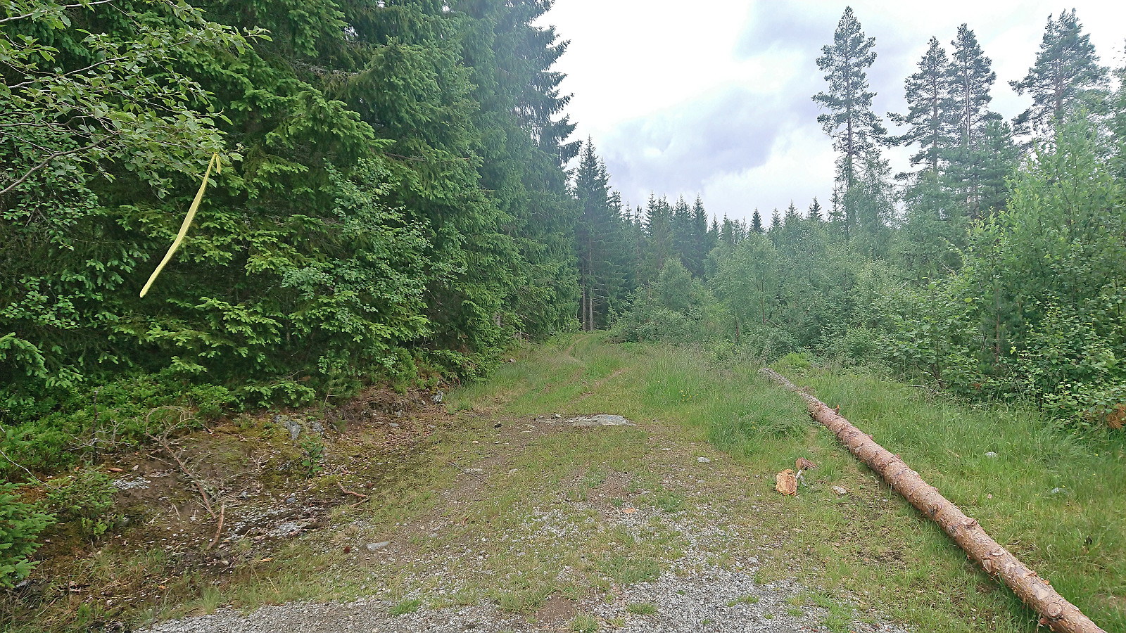
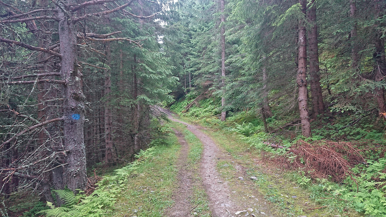
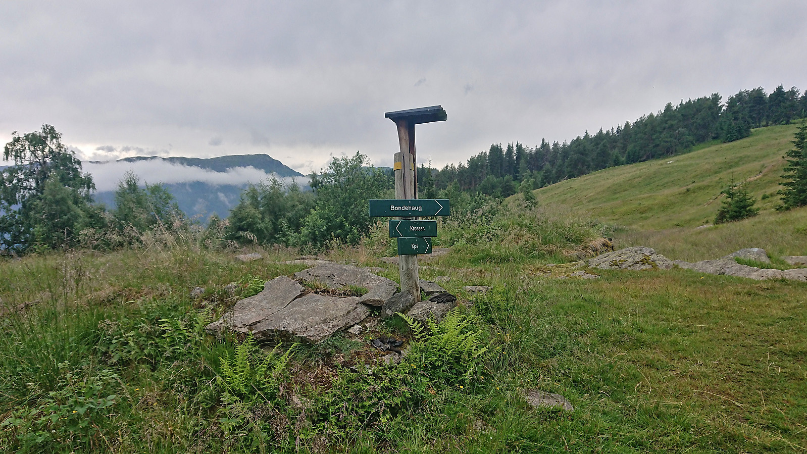
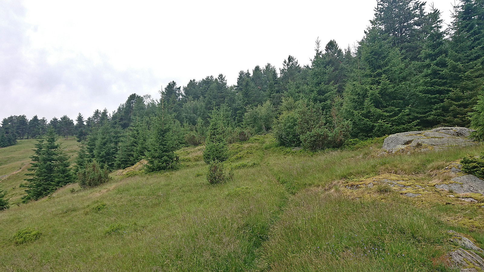
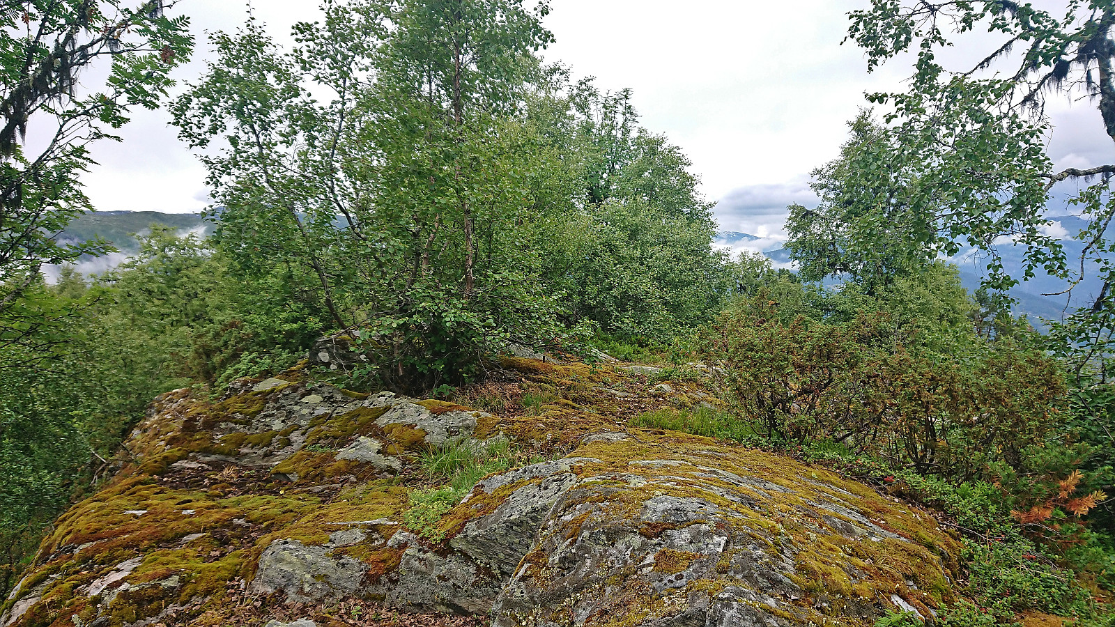
After the short hike to Storehaug we drove to Krossen and parked at a smaller parking lot up a gravel side road southwest of the main parking lot. Here we had spotted a hiking sign for Bondehaug when driving back from our visit of Eikjabu and hoped this would provide a nice hike. We started on a tractor road that later turned into a marked trail which to our surprise did not follow the tractor road indicated on the map heading more directly towards the summit. Instead, it first continued southwest to Røymsstølen before turning northwest to the hill incorrectly marked as the summit of Bondehaug.
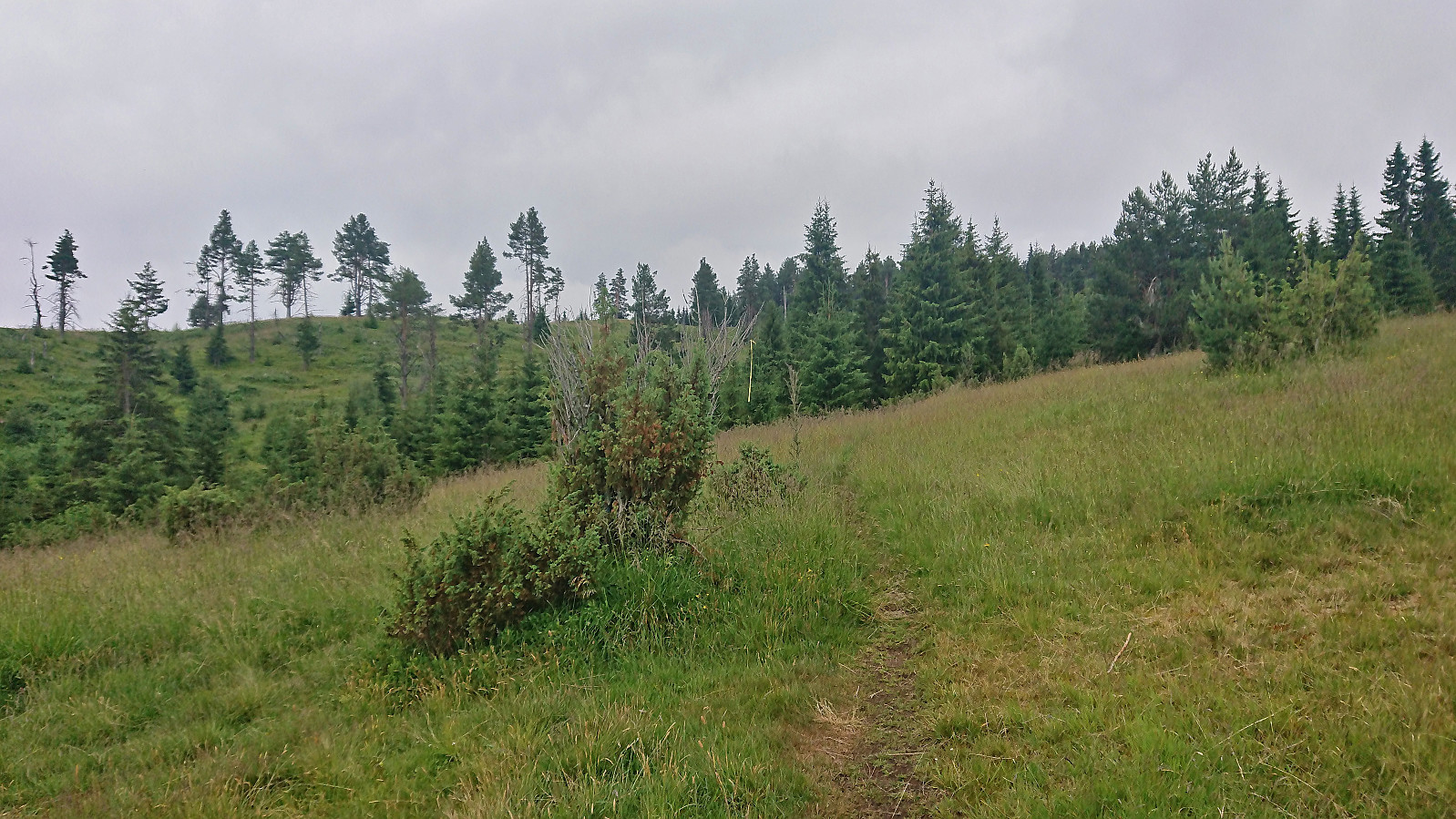
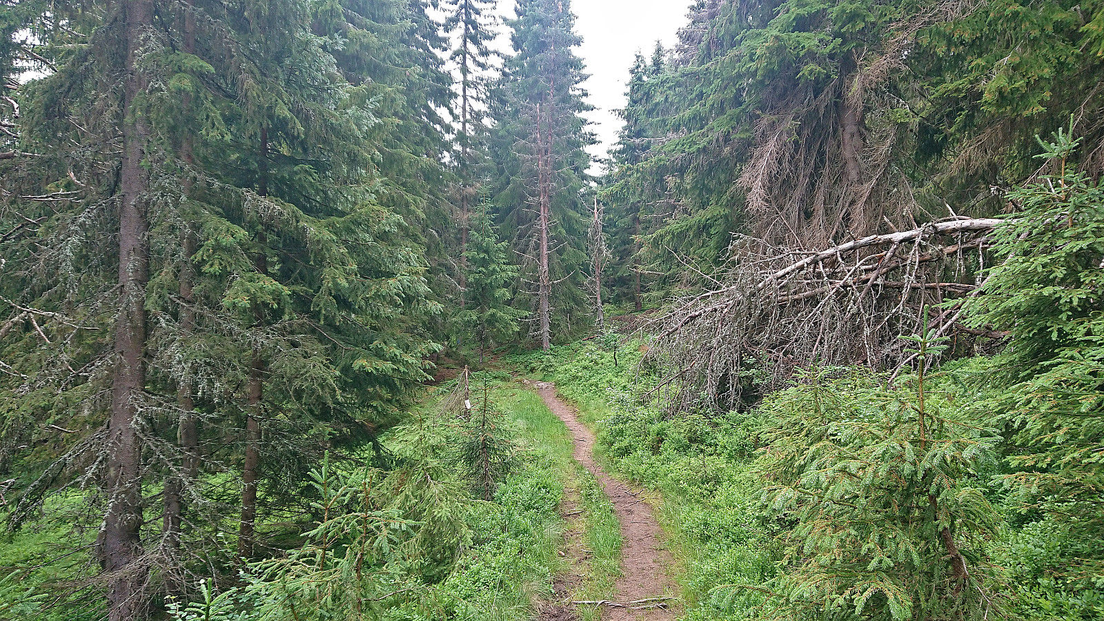
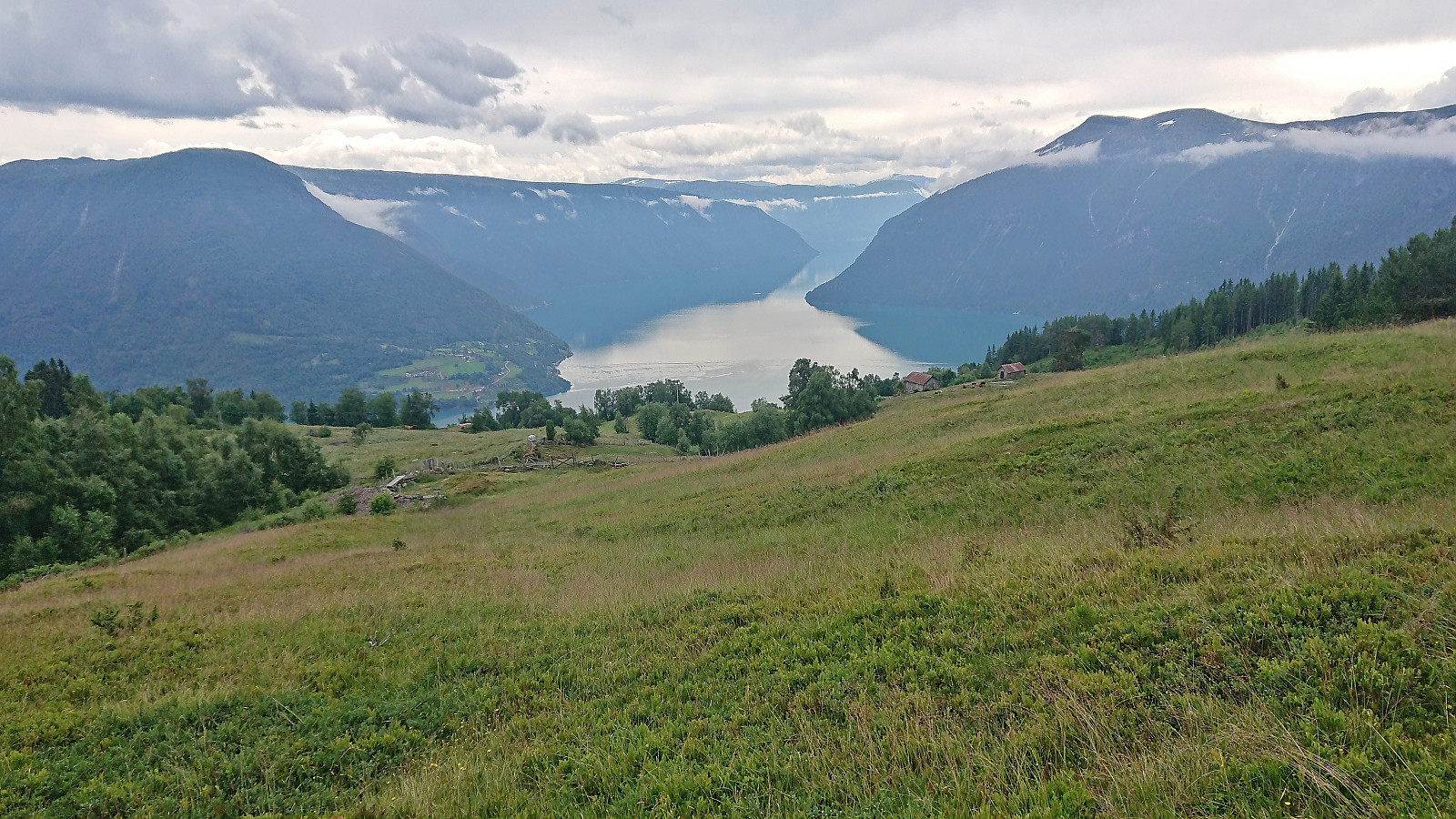
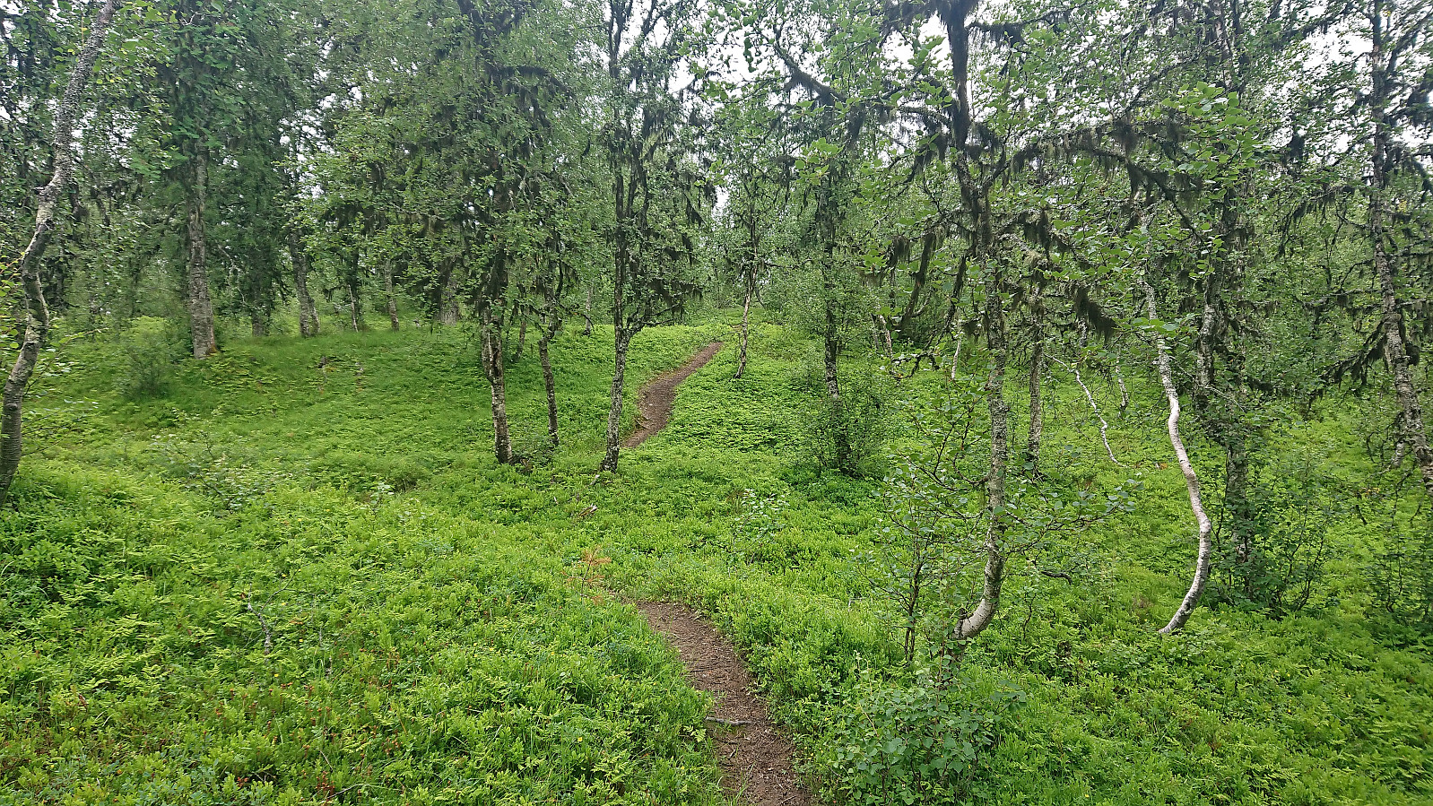
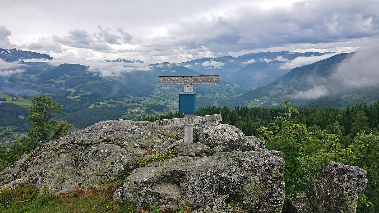
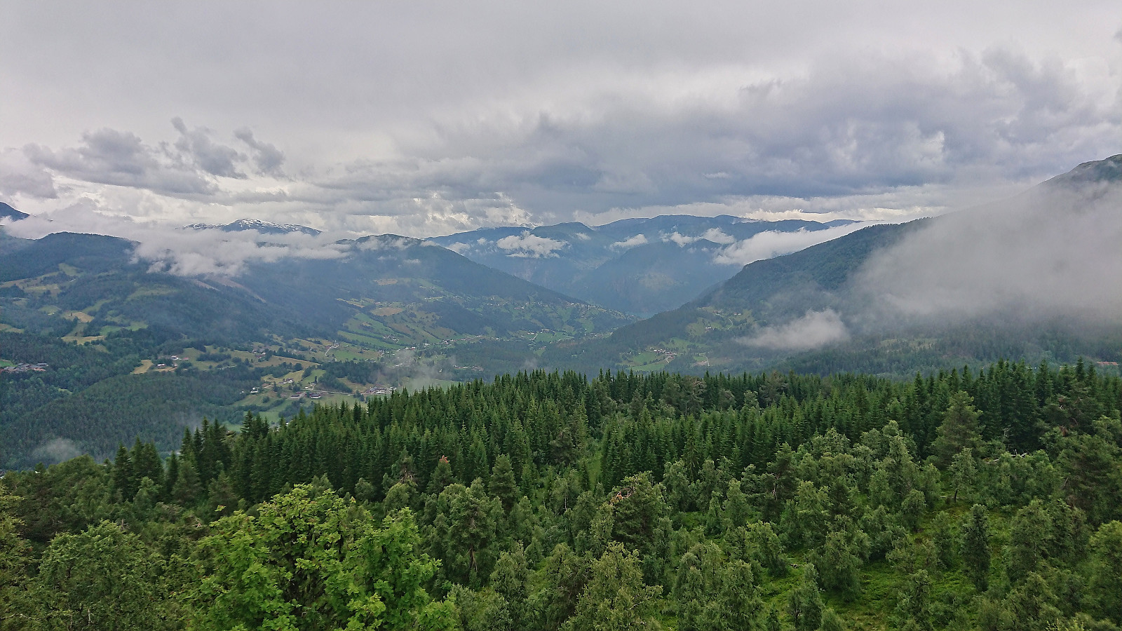
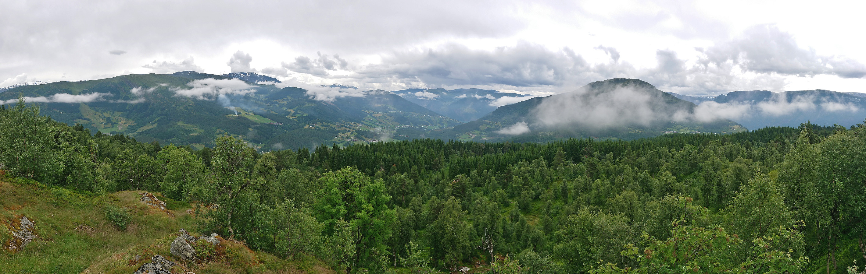
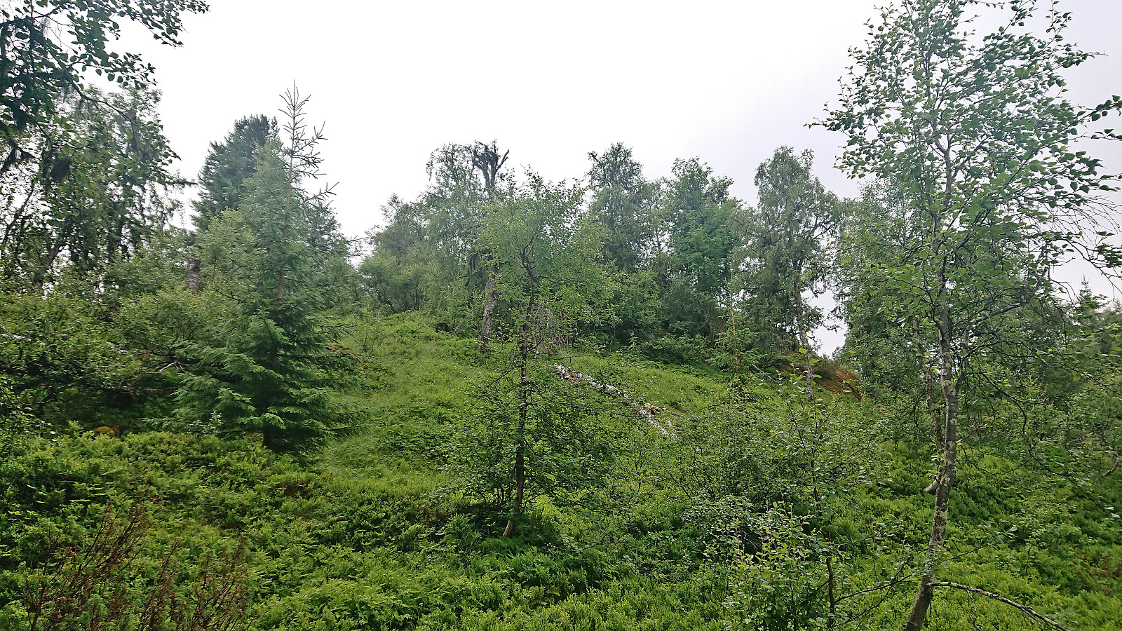
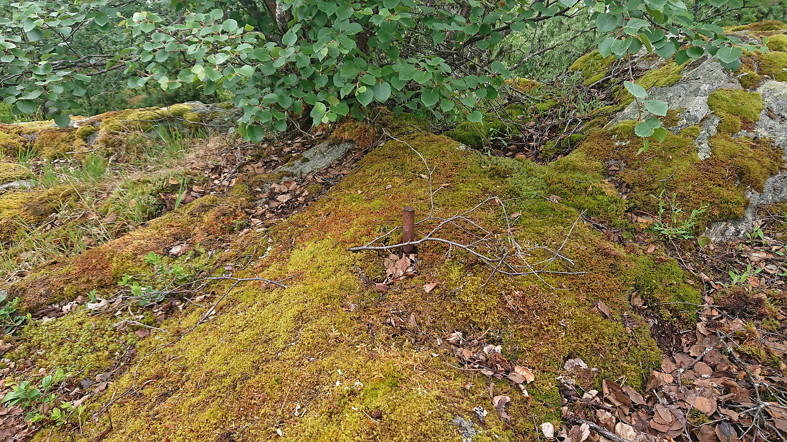
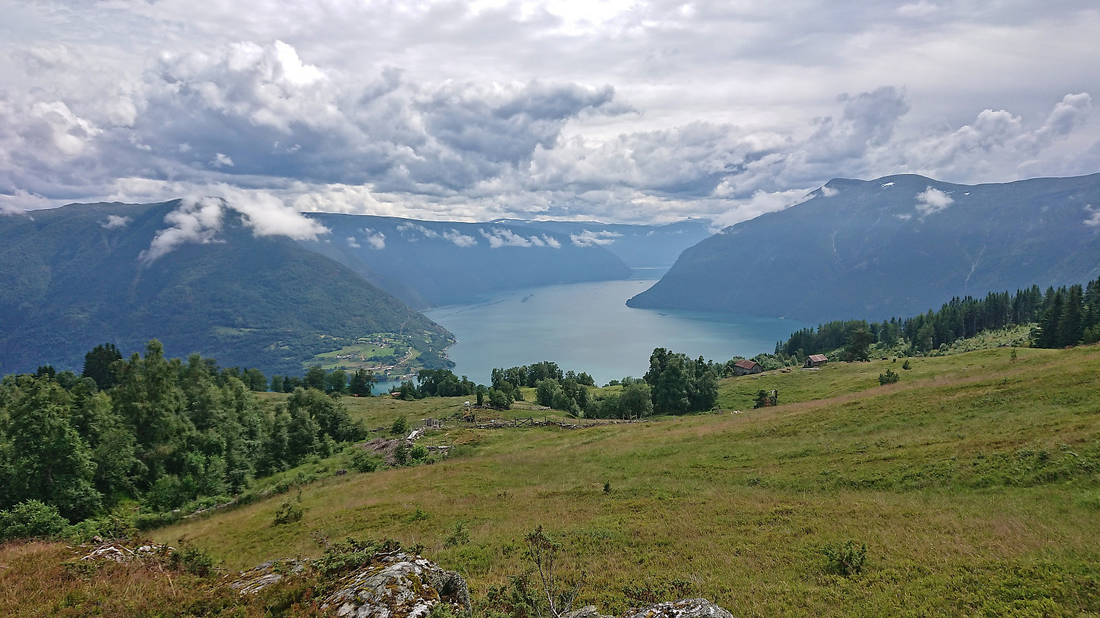
Before reaching Røymsstølen, and just before getting the great views across Lustrafjorden, my dad decided to return to the car. I therefore increased the speed and continued on my own to Bondehaug utsiktspunkt. Here there were excellent views. Well worth a visit. After a couple of pictures I continued southwest to the real summit, first along a trail and then off-trail for the final 150 meters or so to the highest point. More limited views here, hence I quickly returned to the trail and started my descent along the same route.
Given that my dad had now most likely been waiting at the parking lot for some time already, and to escape the many buzzing files, I started jogging and, given that it was mainly downhill, managed to keep this up until returning to the car.
To conclude, this route to Bondehaug can definitely be recommended. The marked road/trail is easy to follow and one is rewarded with excellent views from the false summit northeast of the actual summit. The actual summit can also be reached without any real issues but is clearly more of an acquired taste and can thus be skipped without missing much.
| Start date | 11.07.2023 12:57 (UTC+01:00 DST) |
| End date | 11.07.2023 14:11 (UTC+01:00 DST) |
| Total Time | 1h 13min |
| Moving Time | 1h 11min |
| Stopped Time | 0h 1min |
| Overall Average | 4.7km/h |
| Moving Average | 4.9km/h |
| Distance | 5.8km |
| Vertical meters | 234m |

User comments