Eikjabu from Mollandsmarki (08.07.2023)

| Start point | Krossen p-plass (500m) |
|---|---|
| Endpoint | Krossen p-plass (500m) |
| Characteristic | Hillwalk |
| Duration | 5h 57min |
| Distance | 11.0km |
| Vertical meters | 681m |
| GPS |
|
| Visits of other PBEs | Eikjabu (4m) | 08.07.2023 |
|---|---|---|
| Krossen p-plass (500m) | 08.07.2023 |
Eikjabu from Mollandsmarki
Warning: While this route (mostly) follows a marked trail, the markers can be difficult to spot. The terrain is also steep with a couple of exposed sections that may not be to everyone's liking. In other words, read the report carefully.
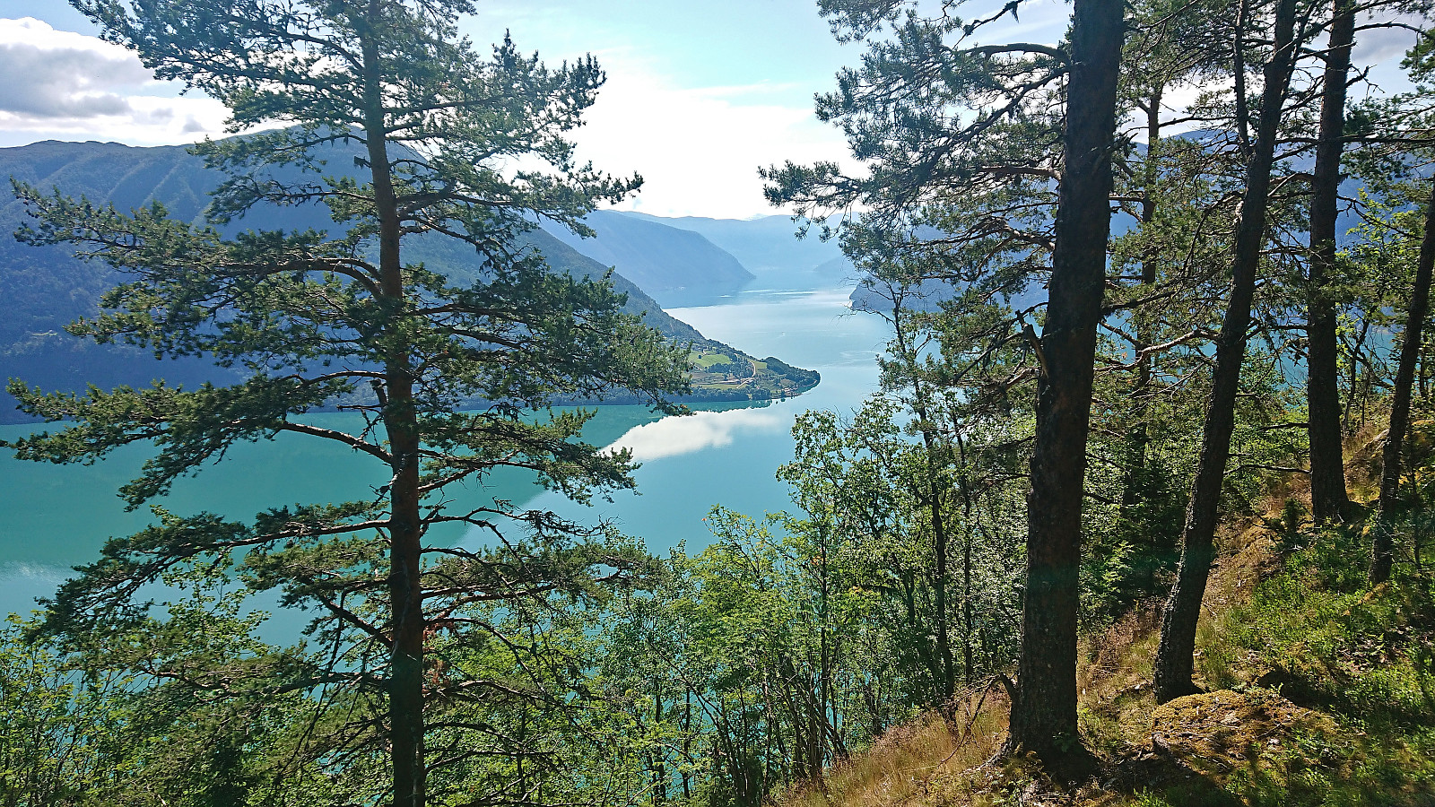
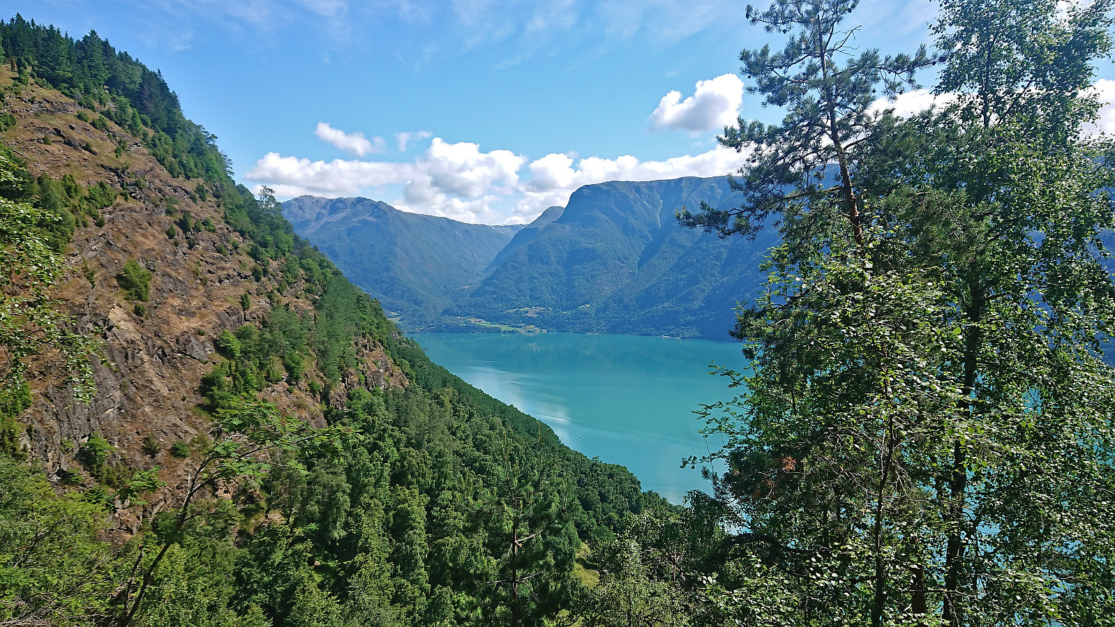
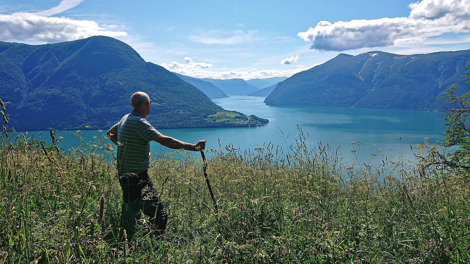
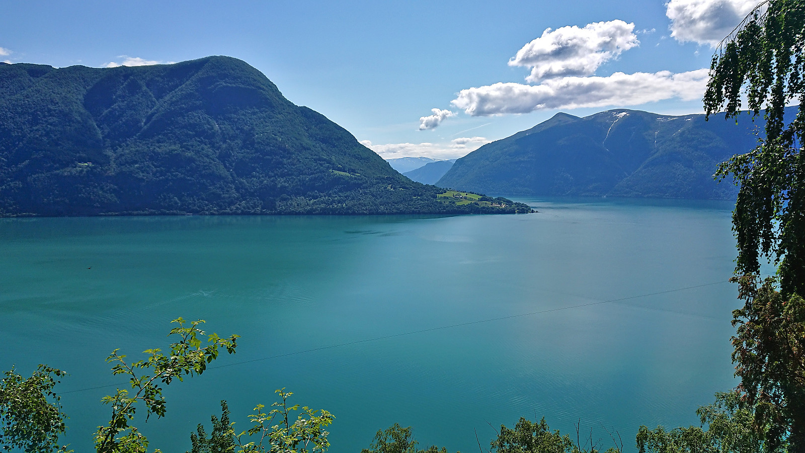
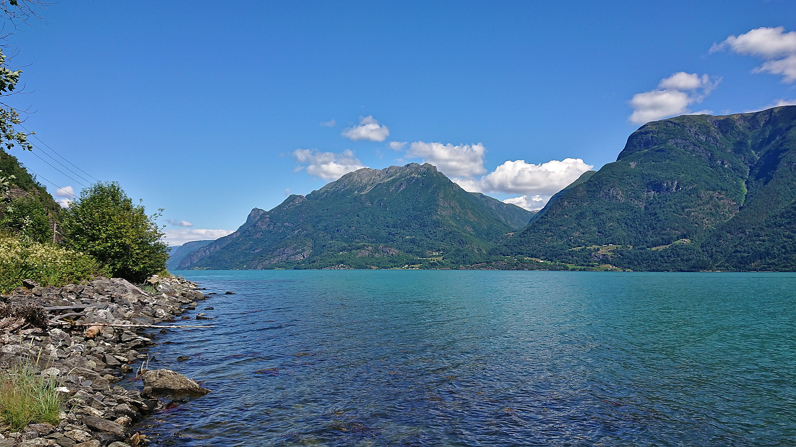
Given its location alongside Lustrafjorden, the easiest route to Eikjabu is definitely by boat or kayak. We had however come across a suggested hiking route from Mollandsmarki that we wanted to try. Luster DNT had even organized a trip along this route earlier this year. Additional information was also gathered from an earlier post from 2019 which also included a link with more pictures and a basic map.
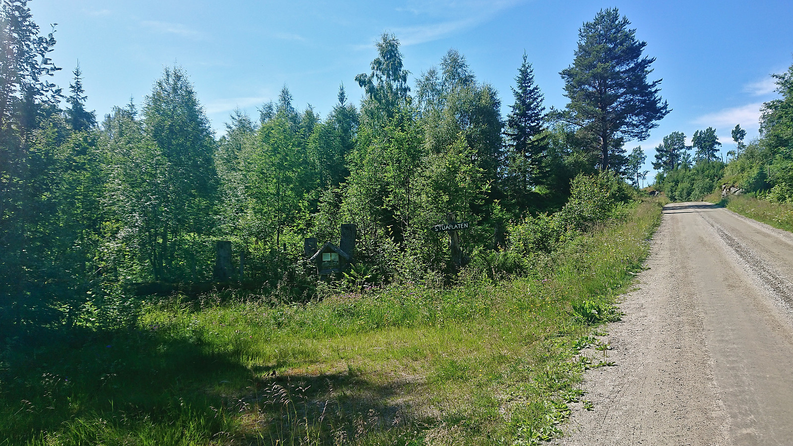
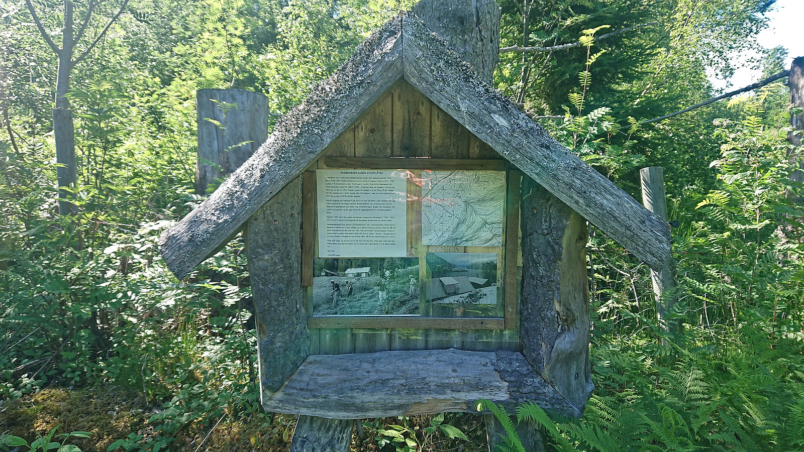
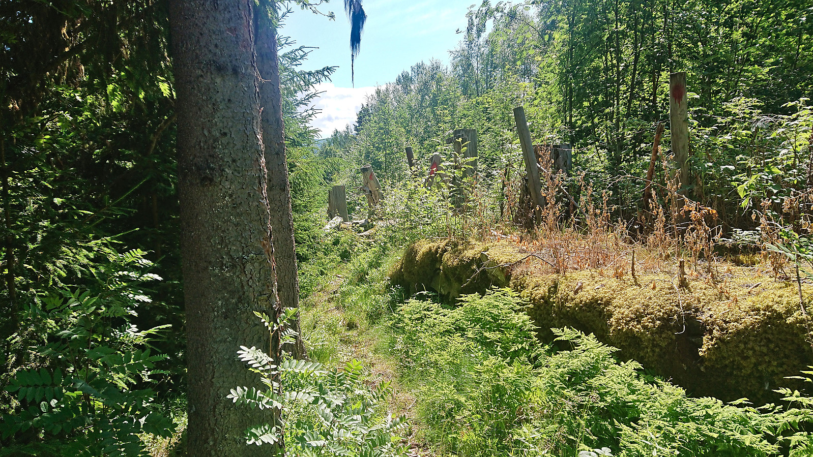
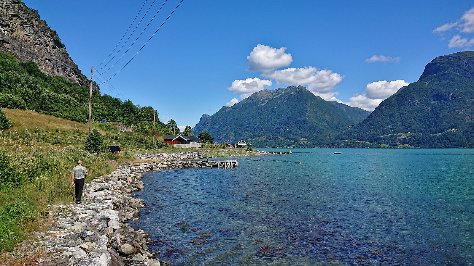
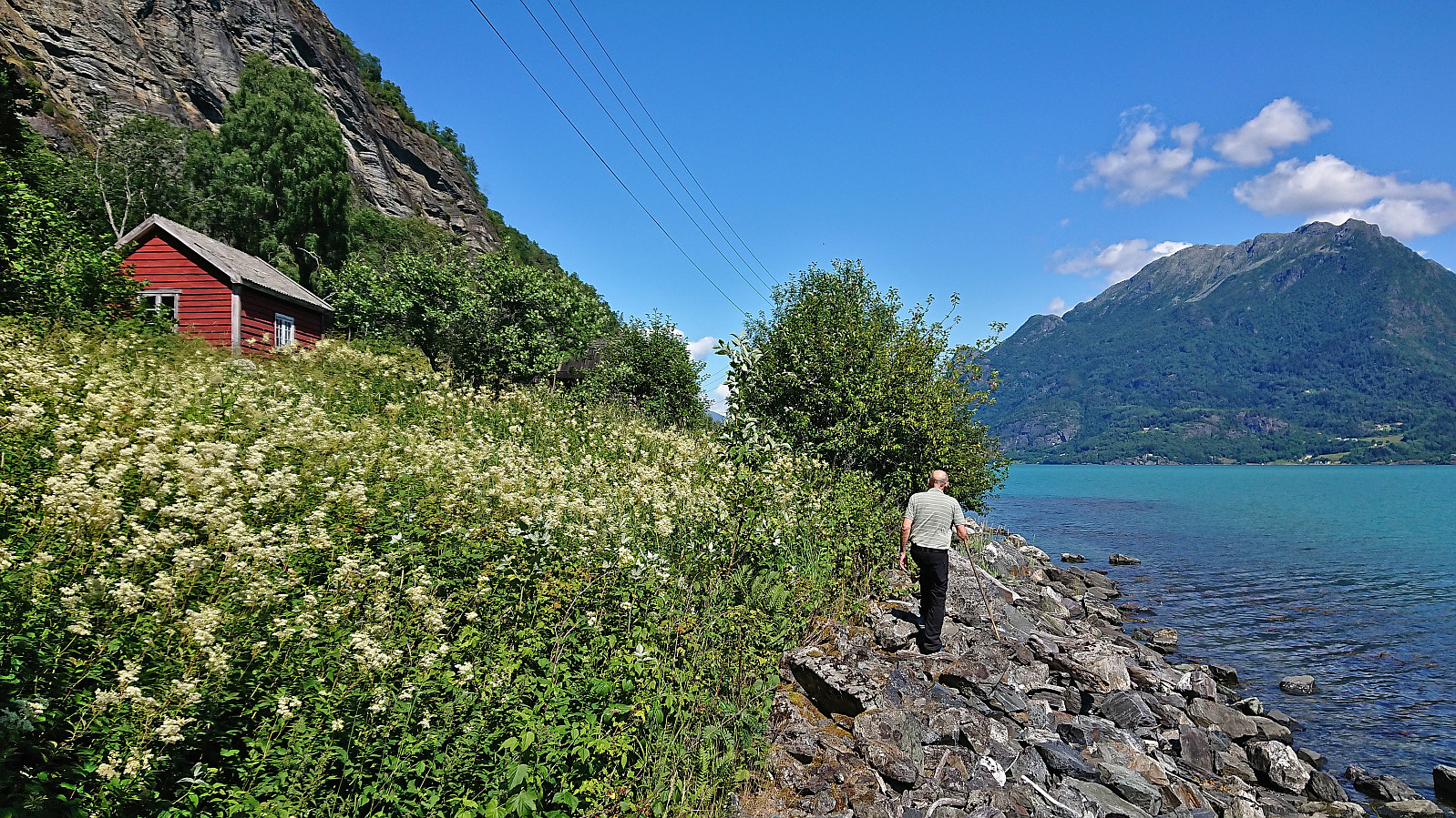
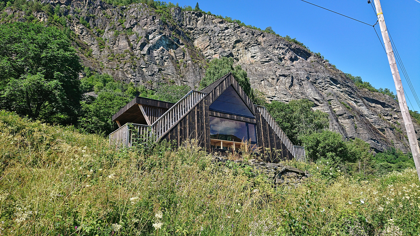
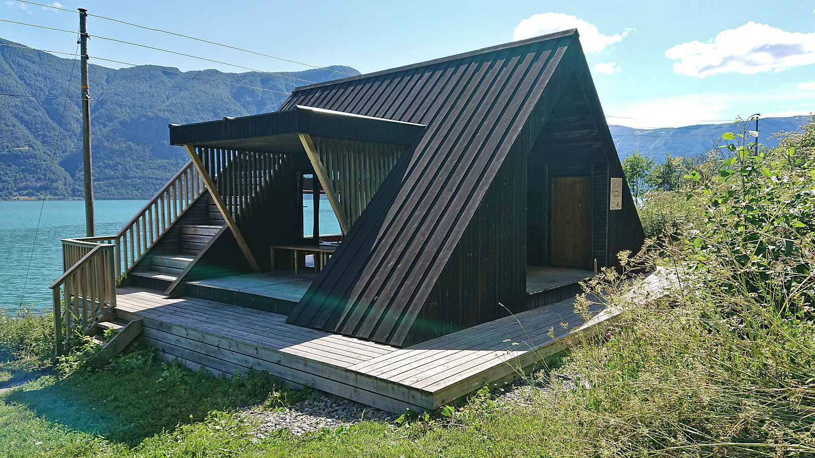
Unsure of whether there would be any parking at the trailhead, we decided to park at Krossen p-plass and walk from there. (As it turned out, this was unnecessary, as it would have been possible to park at or close to the trailhead.) The trailhead contained information about Stuaflåten although there was no mentioning of Eikjabu. But at least there was a marked trail, if slightly hidden underneath the tall grasses, that we could start following.
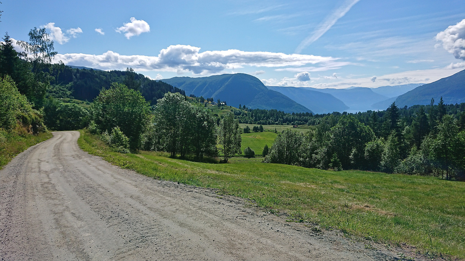
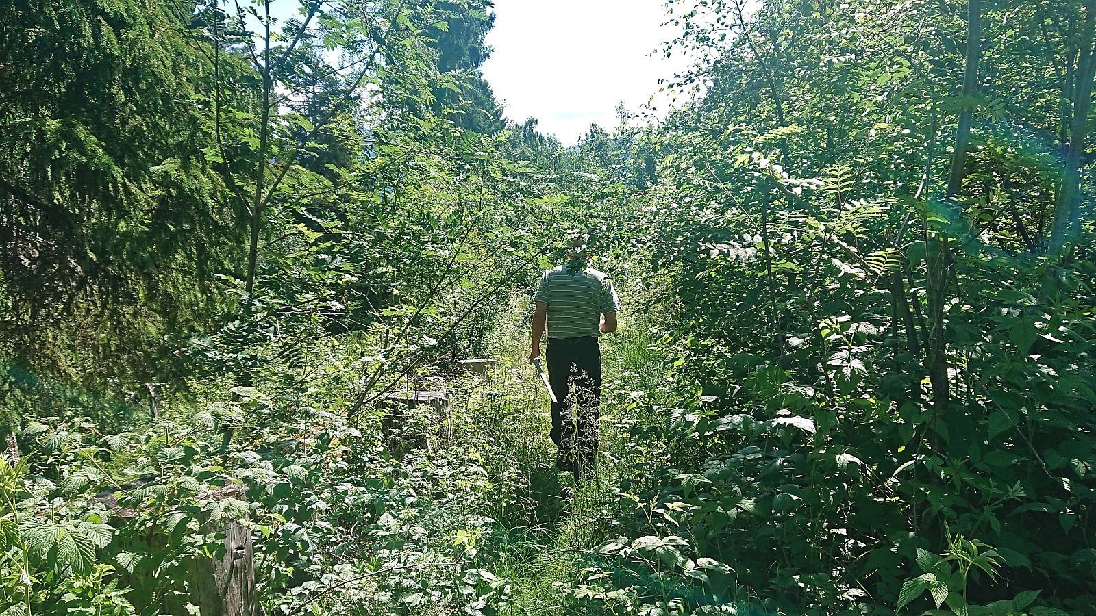
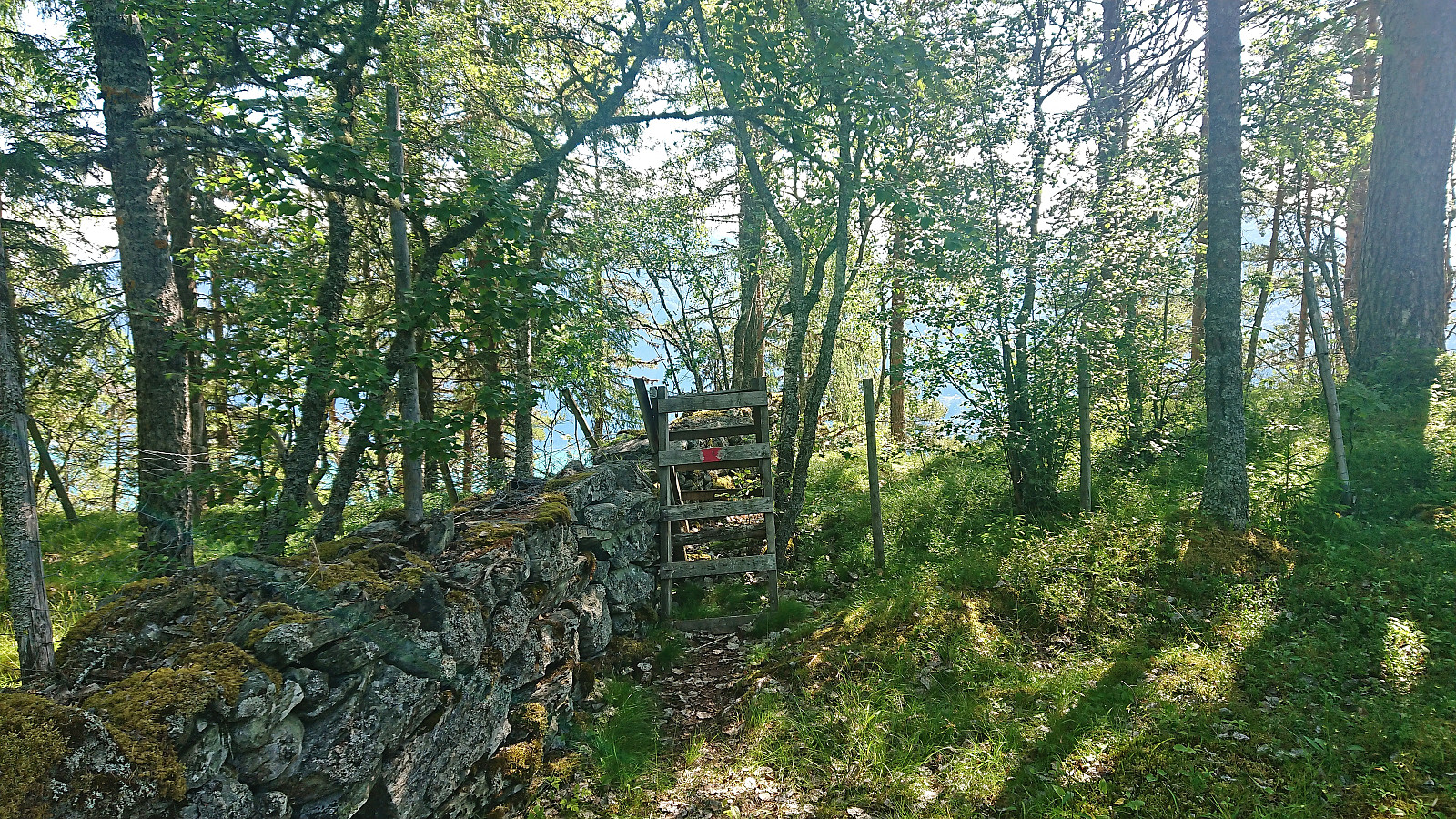
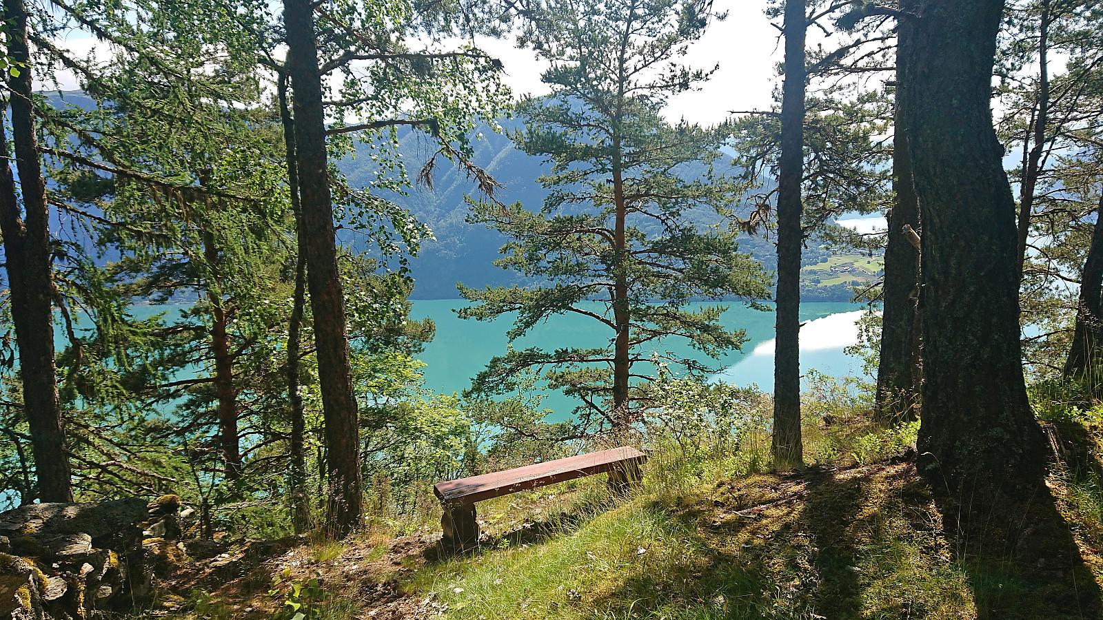
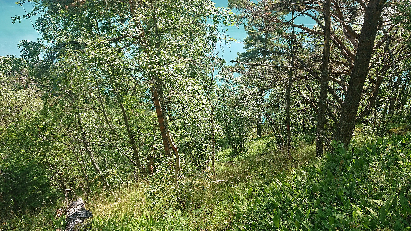
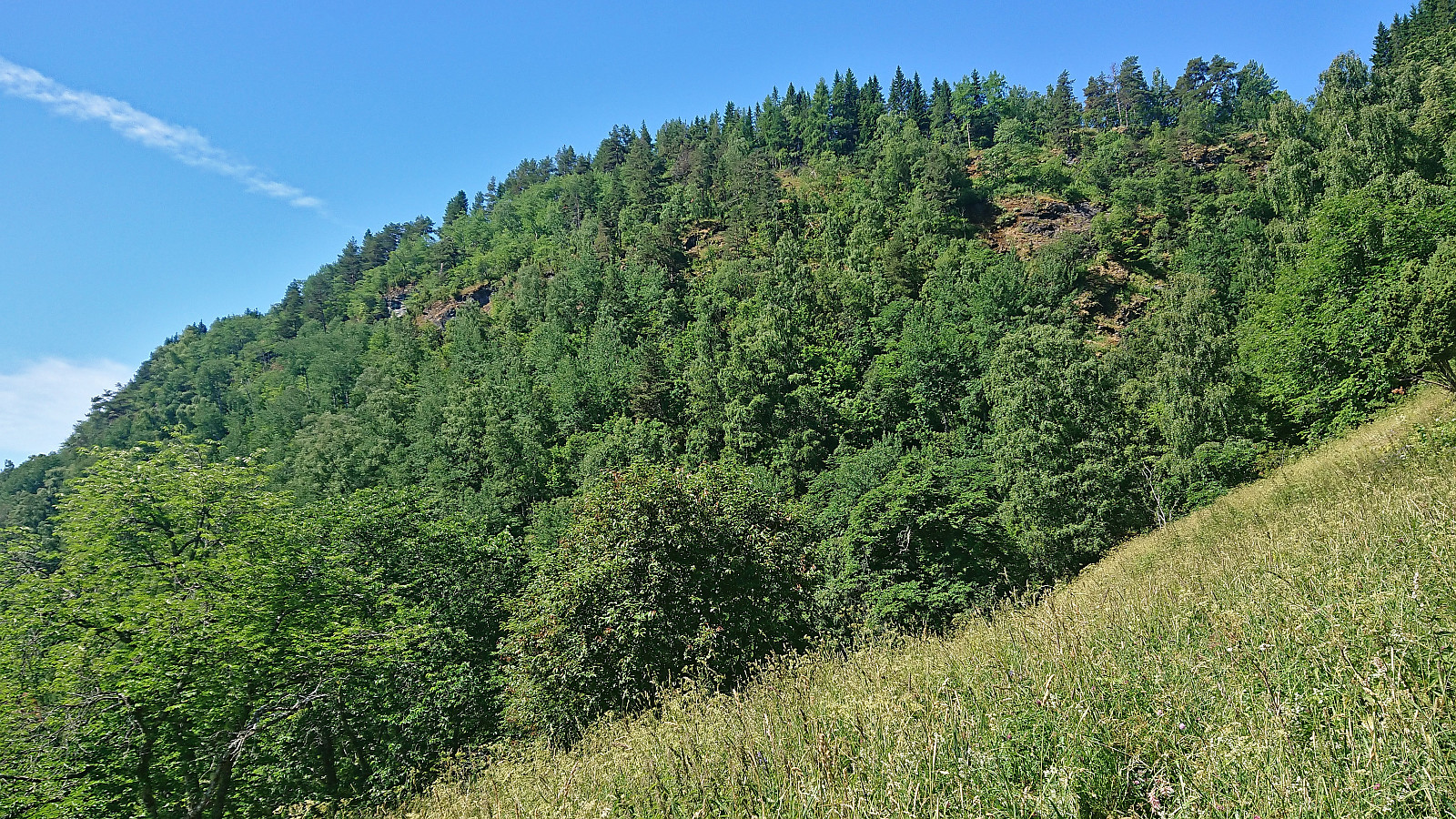
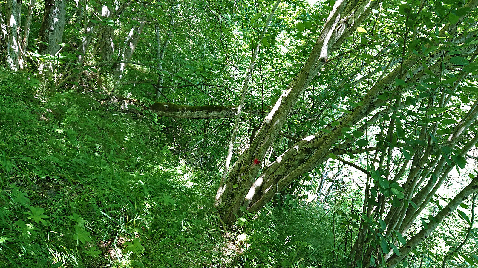
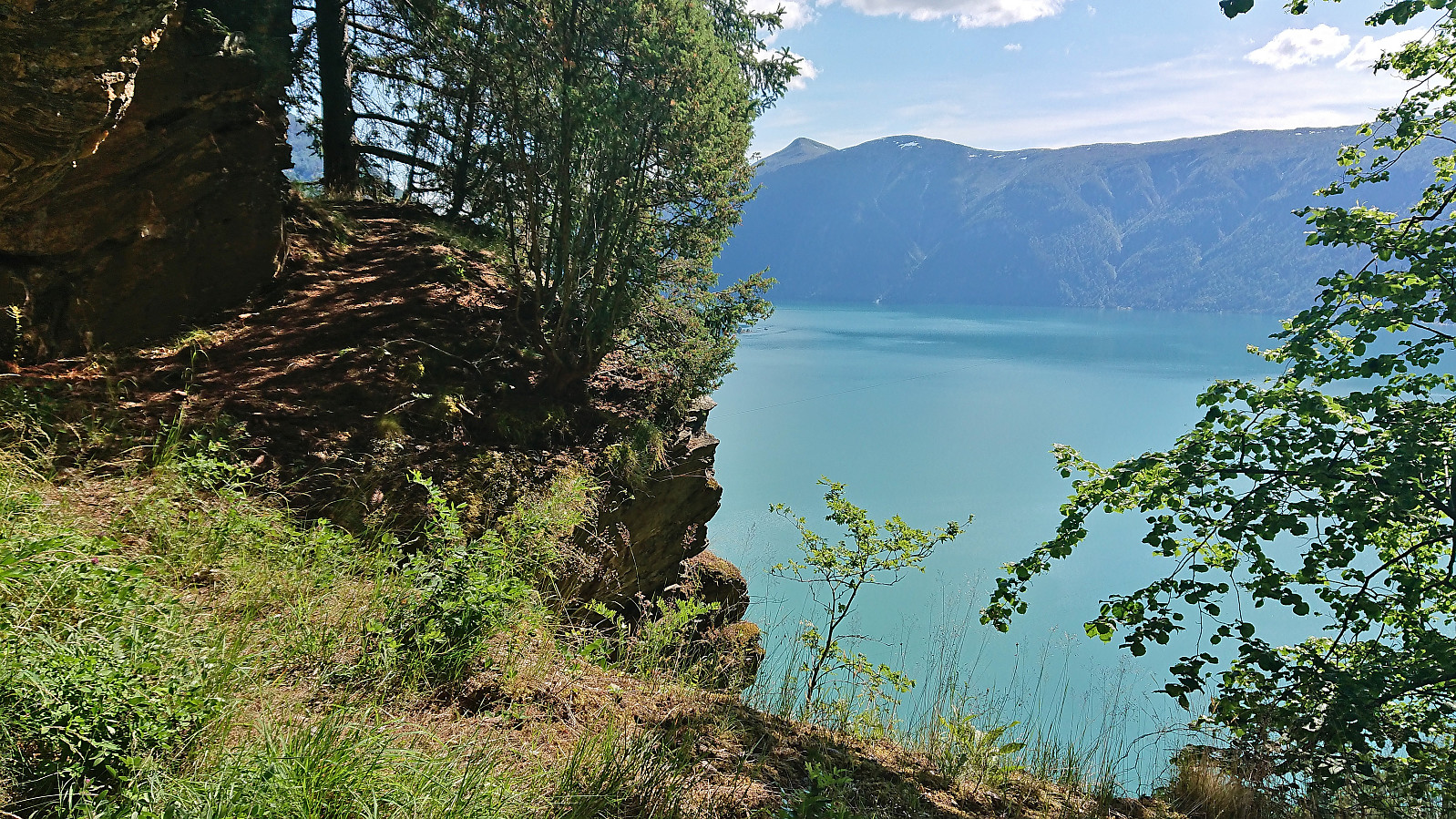
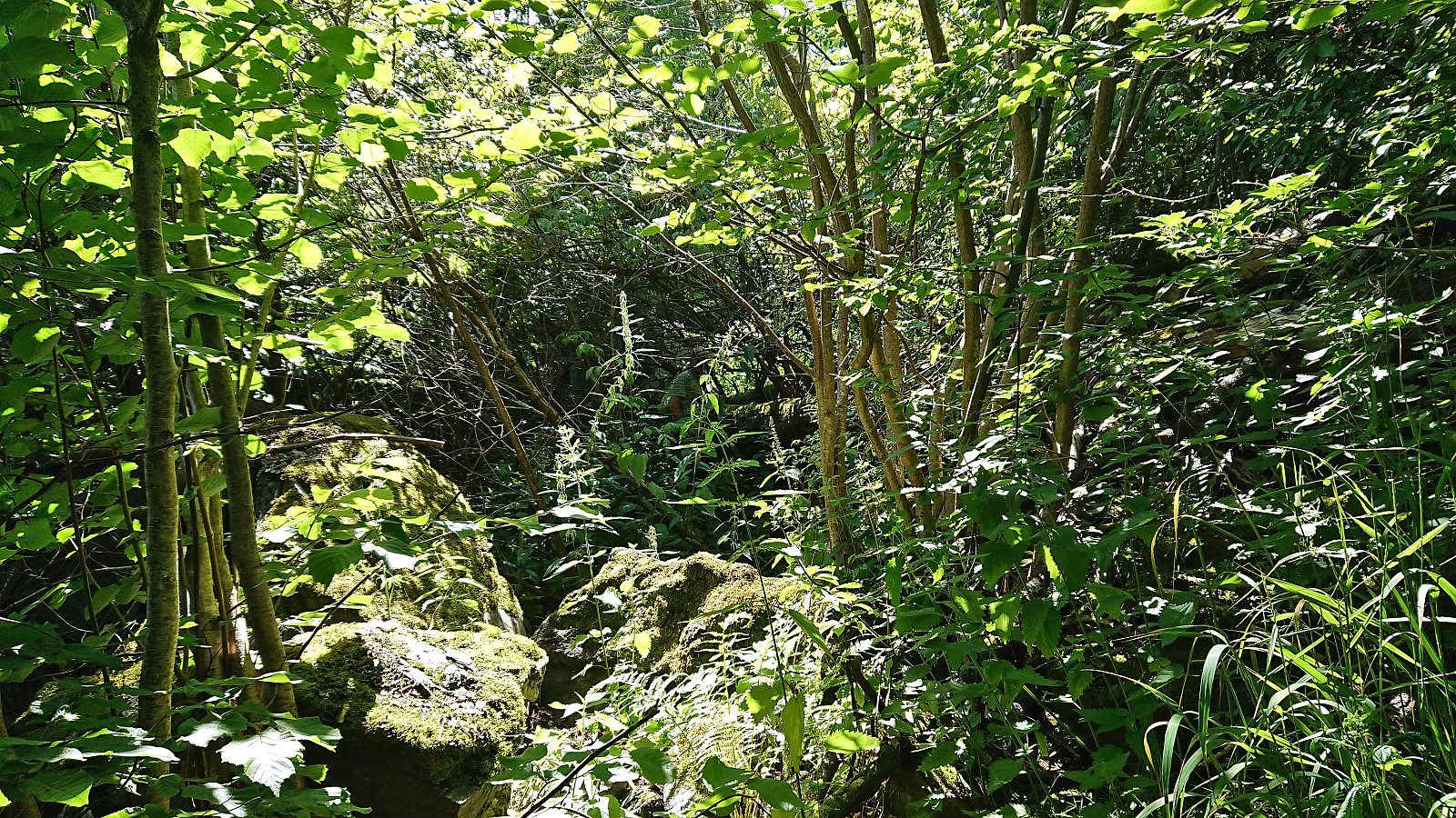
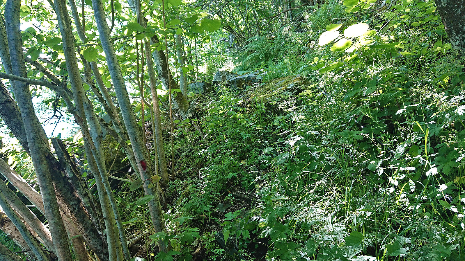
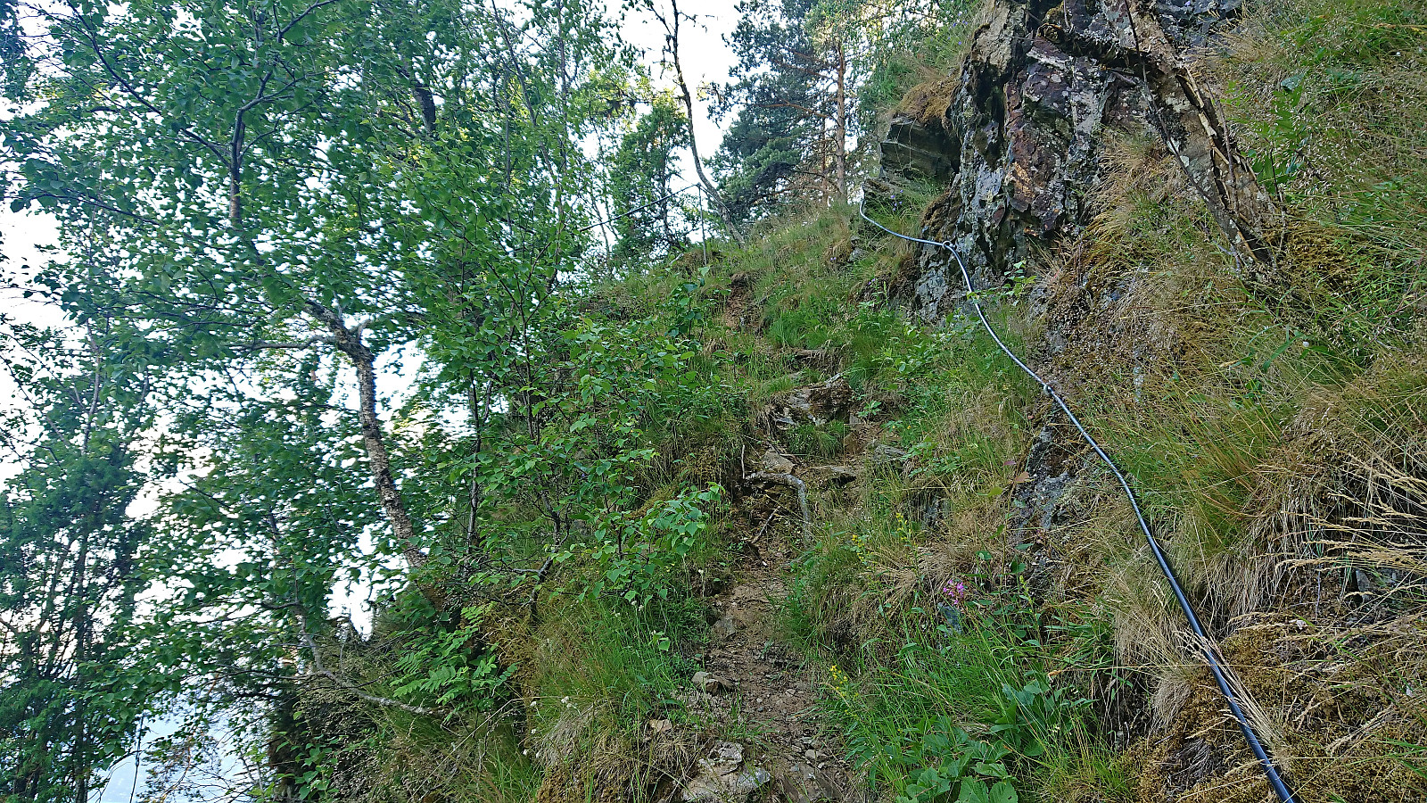
After crossing two fences, via custom-made wooden ladders, we arrived at a bench providing our first views towards Urnes. From the bench the marked trail quickly turned steeper and we soon came to a short scrambling section with railing for extra safety. Shortly after, we arrived at a marked crossroads with two options: Stuaflaten or Hidleren (Hilleren on the map). We went for the latter but pretty soon the trail simply disappeared and we were left finding our own way to Hidleren, which mainly consisted of fighting our way through the tall grasses interlaced with stinging nettles, i.e. brennenesle.
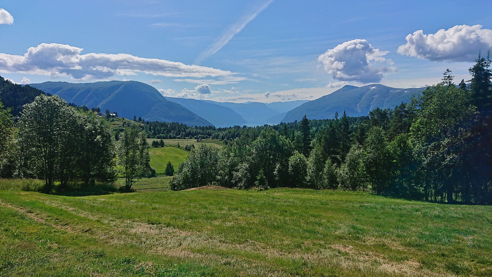
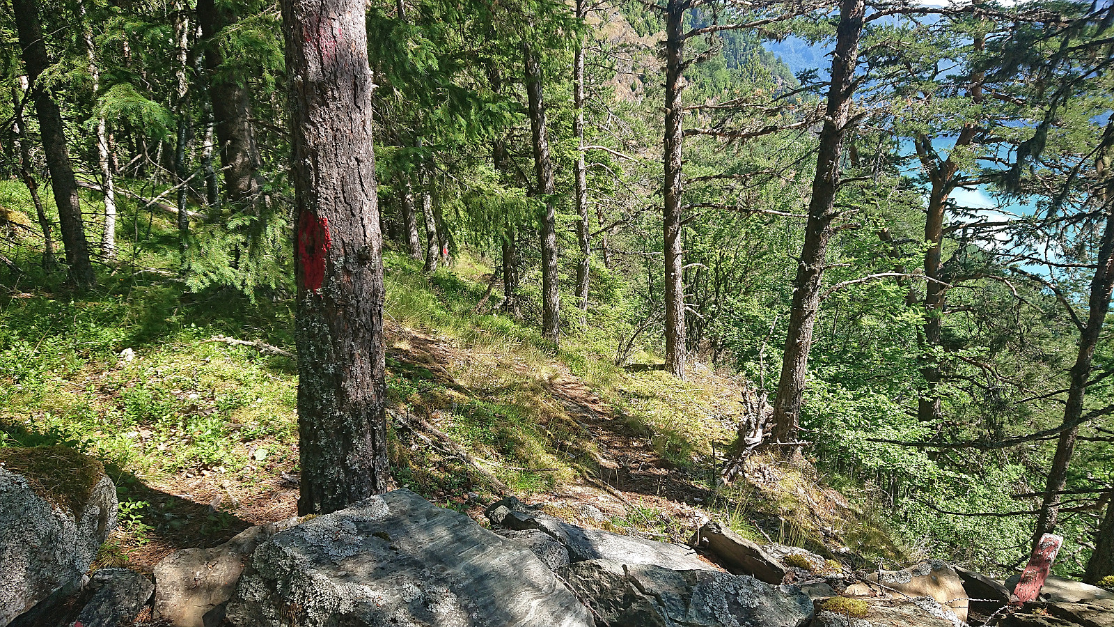
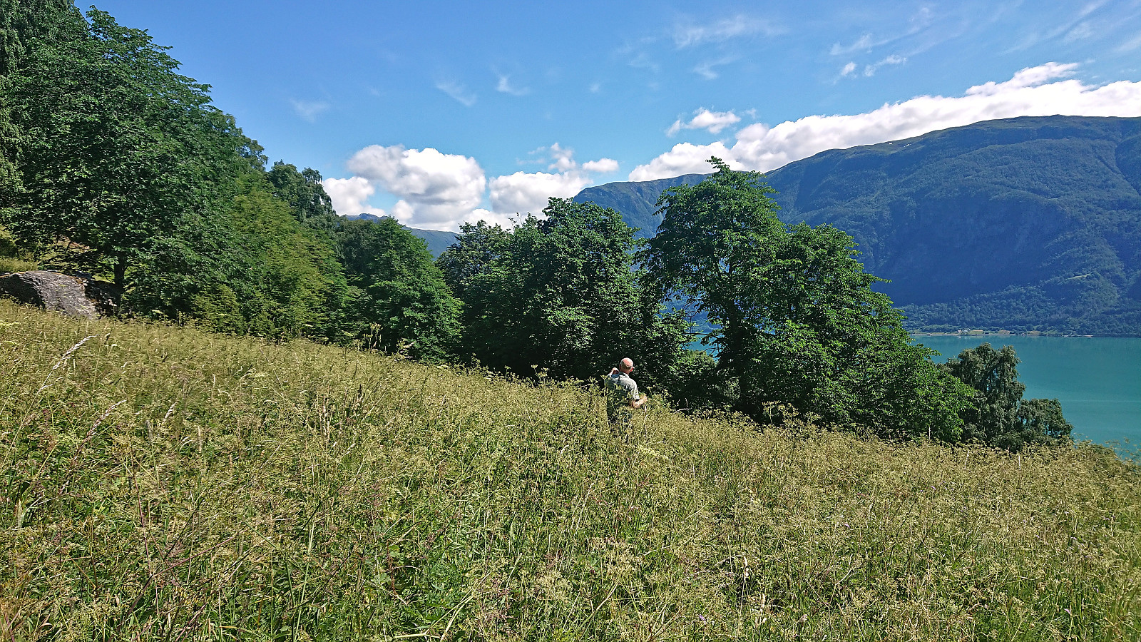
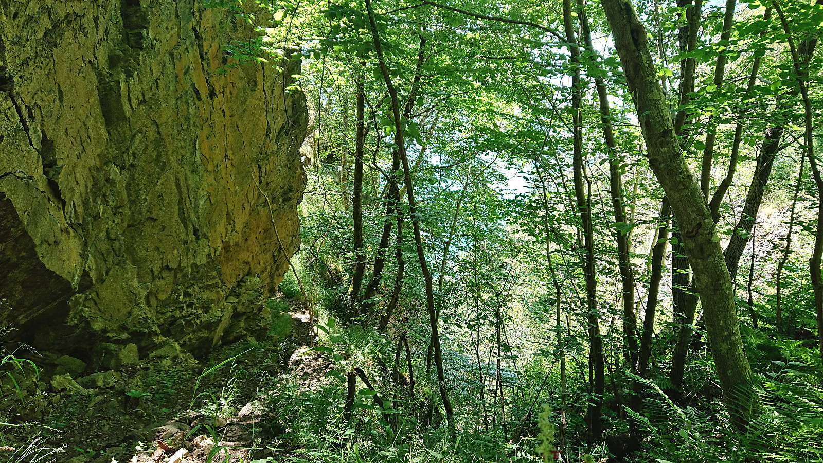
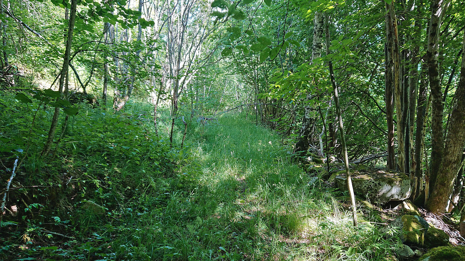
Hidleren itself was also filled with tall grasses but fewer stinging nettles and we therefore made it to the other side of the open field without any issues. Here we managed to relocate the trail, and although it was not always easy to follow, and the red markers were often difficult to spot, it did at least indicate that we were heading in the right direction. We were now heading northeast towards the steep Eikjagilet which we somehow had to navigate our way around.
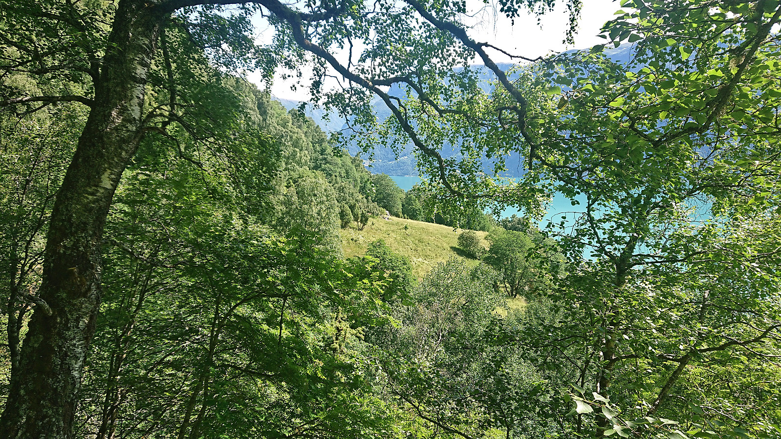
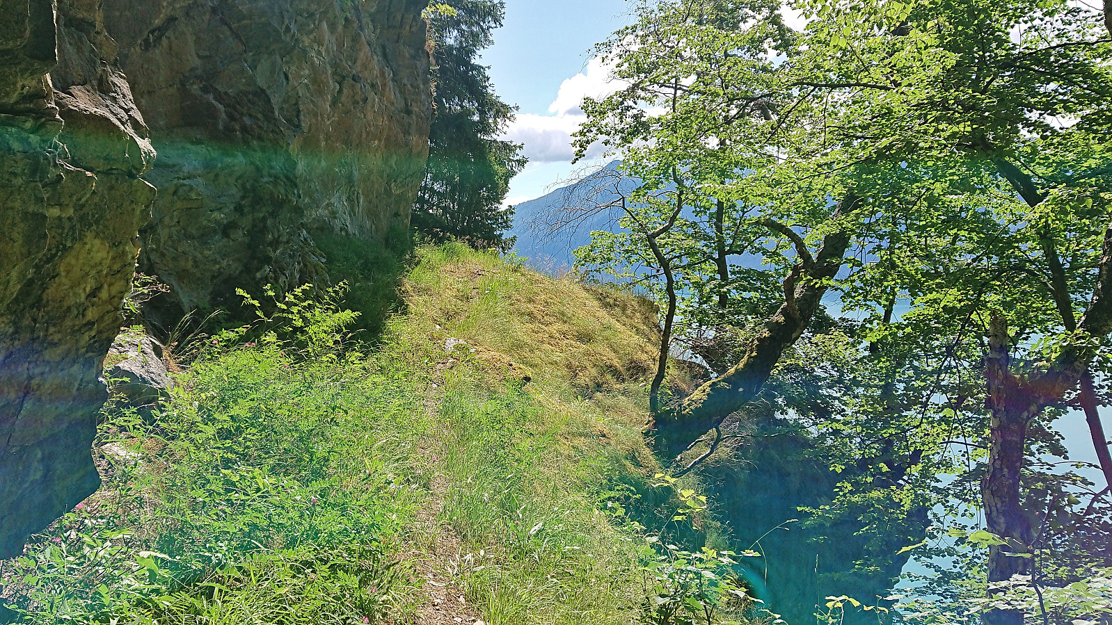
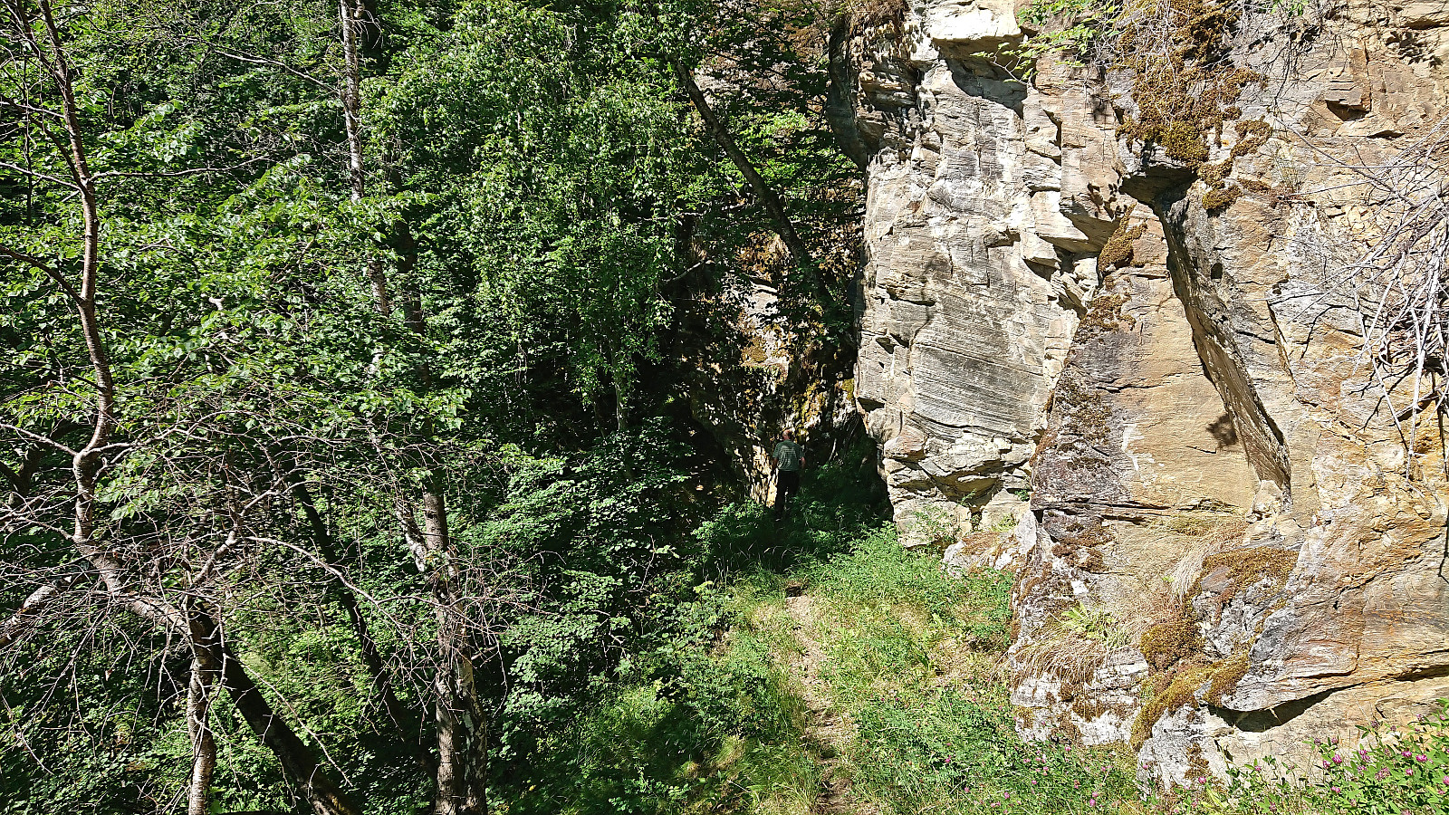
As it turned out, the trail followed a relatively narrow ledge around Eikjagilet before starting its final descent to Ytre Eikjo. Note that there was a steep drop just to the right of the ledge which may not be comfortable for those afraid of heights, however it was wide enough such that it could be traversed without any real danger.
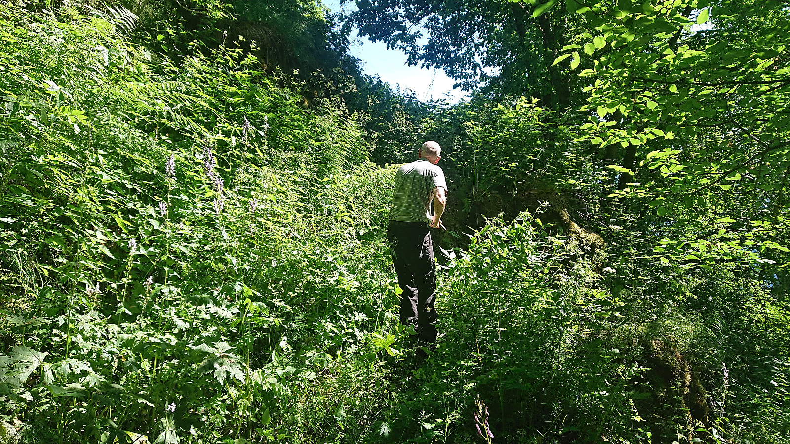
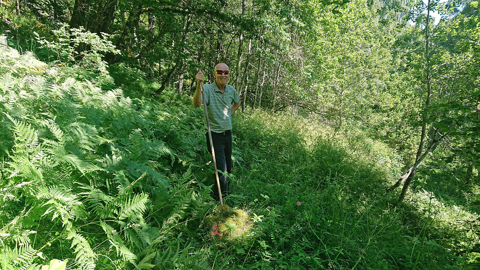
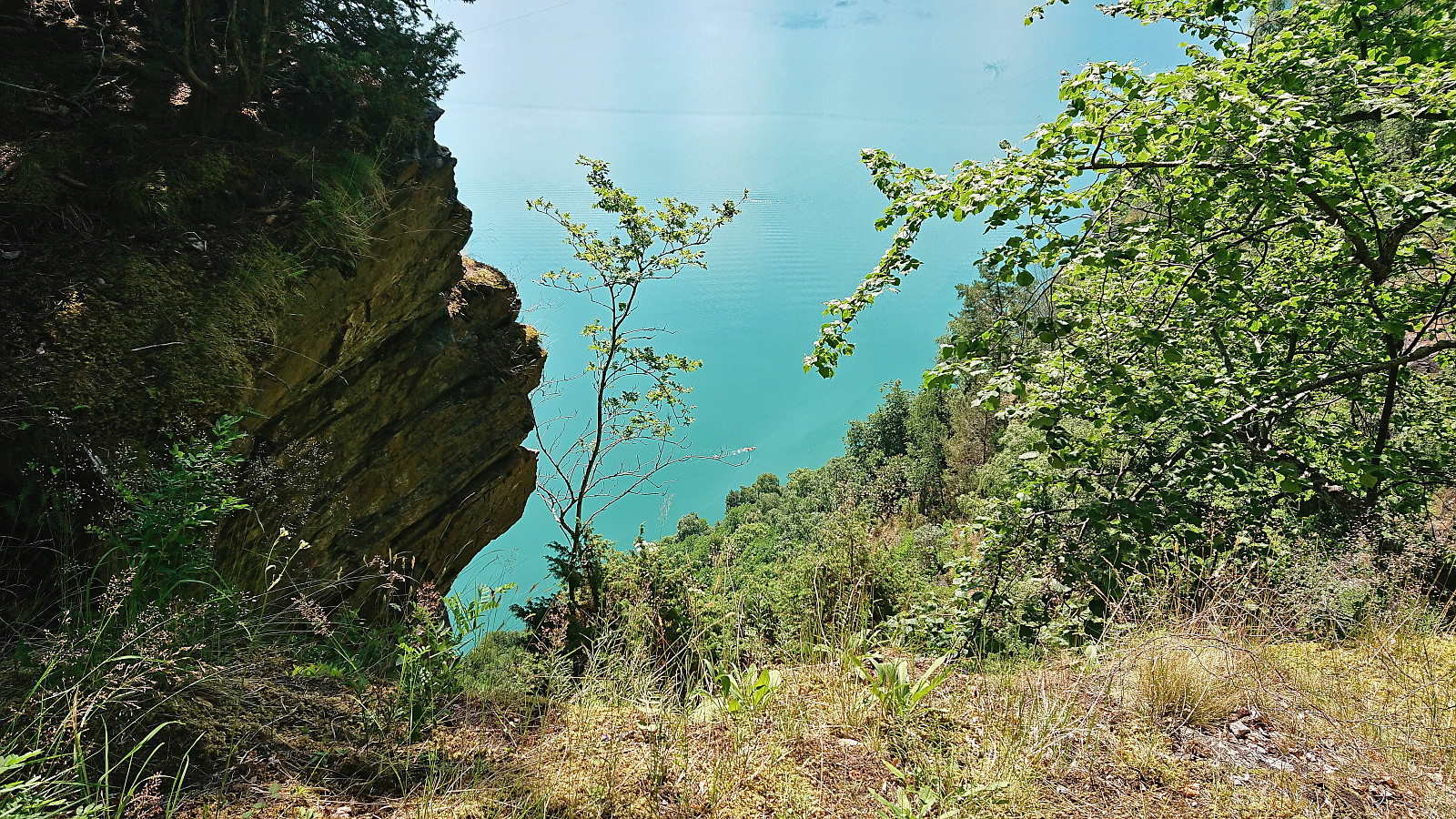
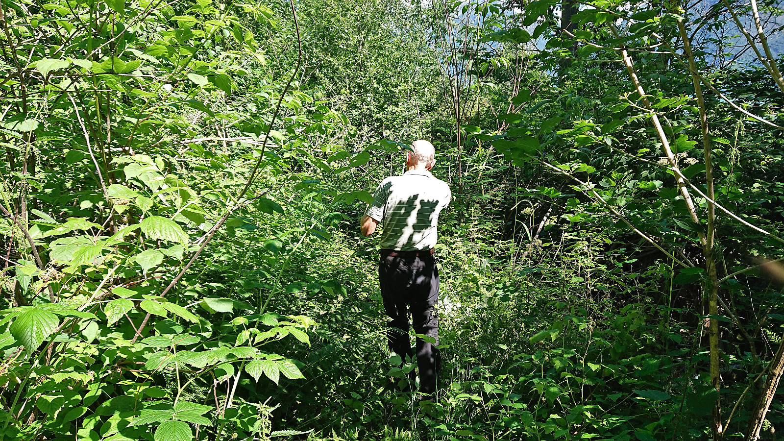
Having passed the crux of the route, we initially made good progress towards the fjord, but just as we hoped that it would not be smooth sailing from there on, we entered into very dense vegetation that had to somehow be navigated. As soon as we saw the opportunity we therefore headed for the fjord via an apple orchard.
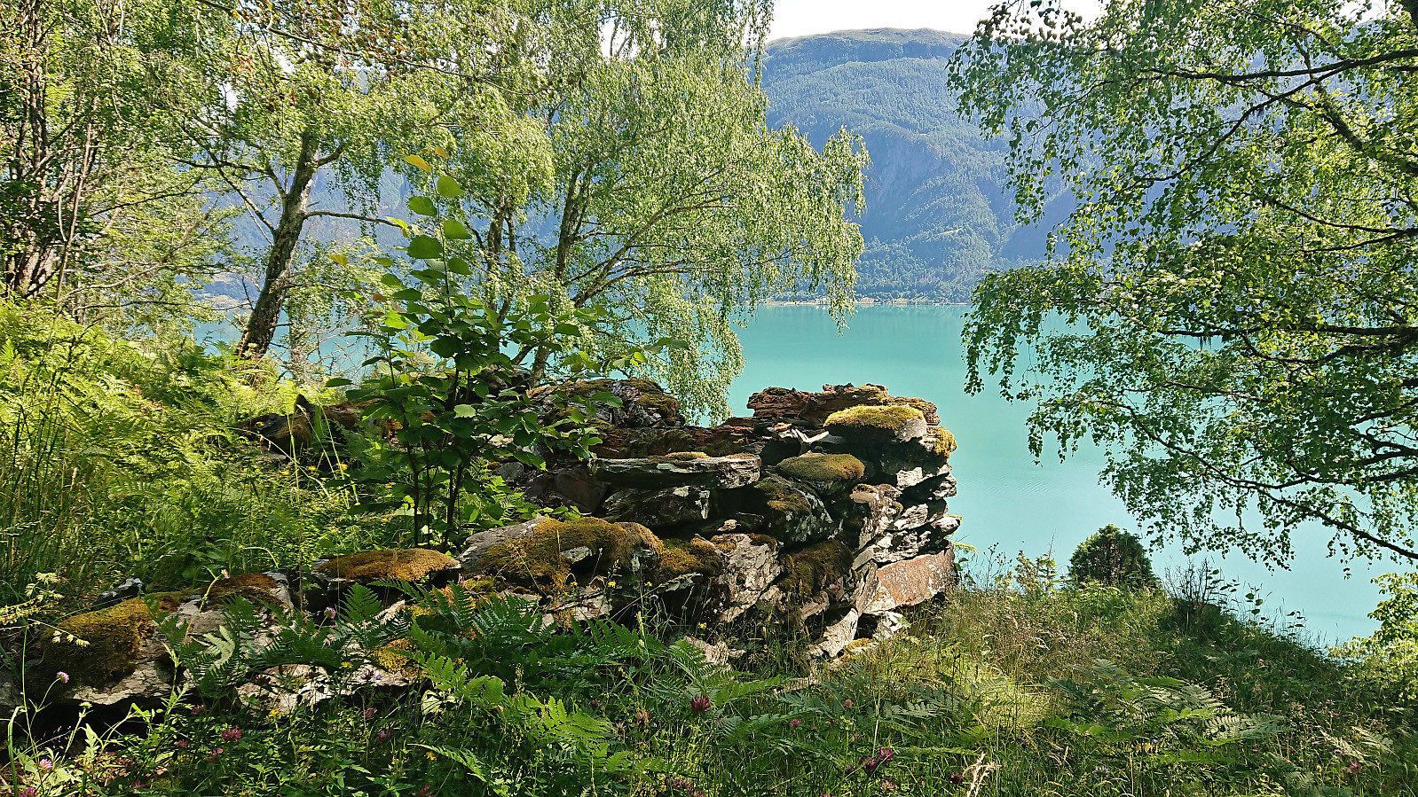
Walking along the fjord was however not as easy as we had hoped either and we even had to climb a fence before coming across a cabin where we were asked to please not walk across their property and instead continue along the fjord. We did as we were told and it did not take long before we finally got our first glimpses of Eikjabu, almost three hours after the start of the hike!
After a short break at Eikjabu, and briefly considering asking for a boat ride to Solvorn from some of the other visitors (none of which had followed our route), we began our reascent to Mollandsmarki along pretty much the same route as for the descent, getting back to the car after almost six hours of hiking.
In summary, this hiking route to Eikjabu is clearly possible and includes some spectacular views along the way. However, doing this hike in July, when the trail and trail markers are hidden beneath tall grasses, is definitely not the best option. Early May seems to be a much better option (just compare my pictures to the pictures at the above links). Also, be aware that the final section along Lustrafjorden seems to be without a proper trail at all. But if you wanted an easy route to Eikjabu you would of course have come by boat or kayak instead? ;)

| Start date | 08.07.2023 11:20 (UTC+01:00 DST) |
| End date | 08.07.2023 17:18 (UTC+01:00 DST) |
| Total Time | 5h 57min |
| Moving Time | 4h 15min |
| Stopped Time | 1h 42min |
| Overall Average | 1.9km/h |
| Moving Average | 2.6km/h |
| Distance | 11.0km |
| Vertical meters | 681m |

User comments