Fjell kyrkje to Kolltveit via Bekkebruna (18.06.2023)

| Start point | Fjell kyrkje (20m) |
|---|---|
| Endpoint | Kolltveit (29m) |
| Characteristic | Hillwalk |
| Duration | 2h 02min |
| Distance | 5.1km |
| Vertical meters | 132m |
| GPS |
|
| Ascents | Øst for Kyrkjenibben (96m) | 18.06.2023 |
|---|---|---|
| Visits of other PBEs | Bekkebruna (39m) | 18.06.2023 |
| Fjell kyrkje parkering (8m) | 18.06.2023 |
Fjell kyrkje to Kolltveit via Bekkebruna
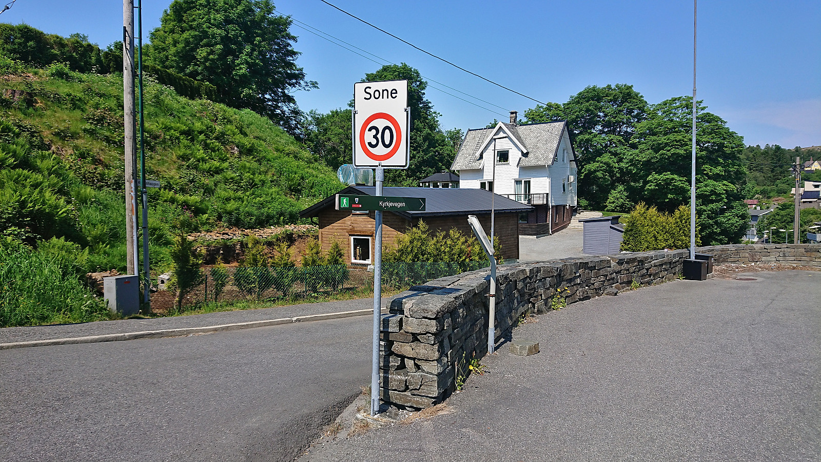
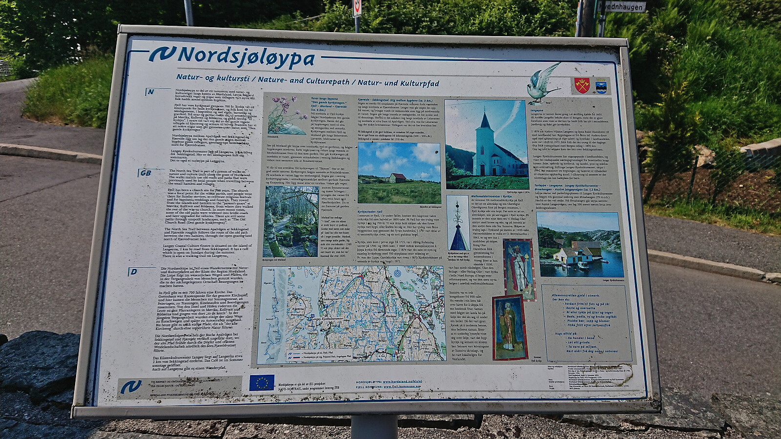
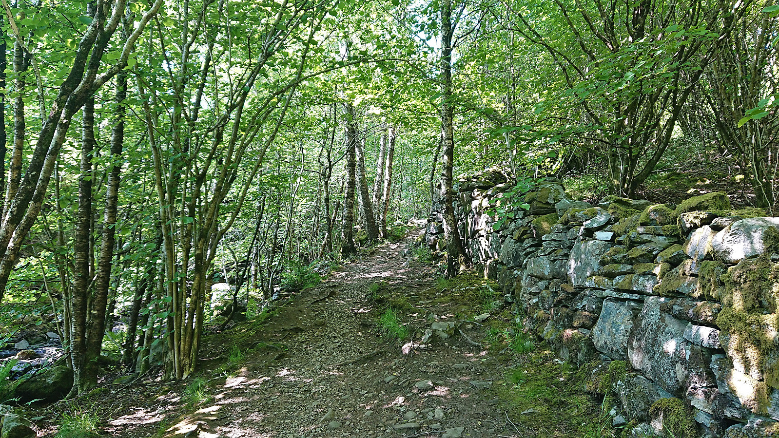

With a weather forecast of possible afternoon rain showers (including lightning), I changed my more ambitious plans and instead hopped on a bus to Fjell. Here I got off at Fjell kyrkje and followed the so-called church road north. The start of this road, or more correctly trail, was marked from the church, however the actual trailhead can be easily missed.
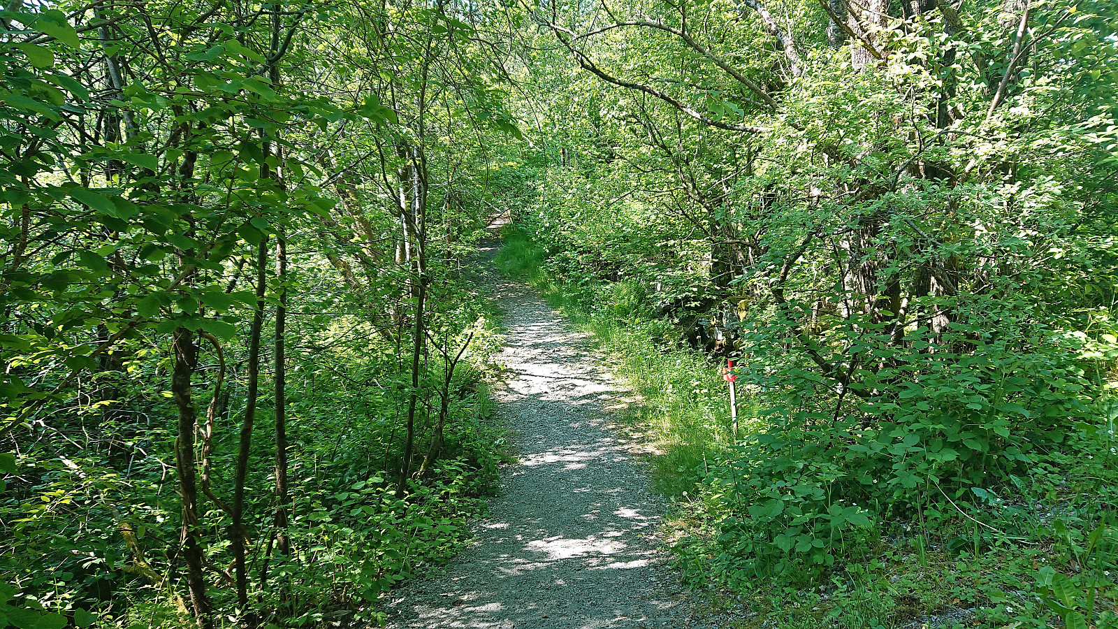
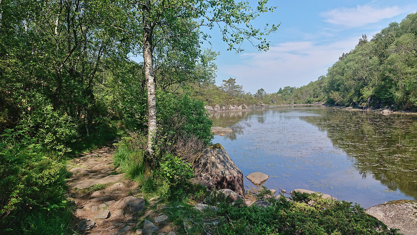
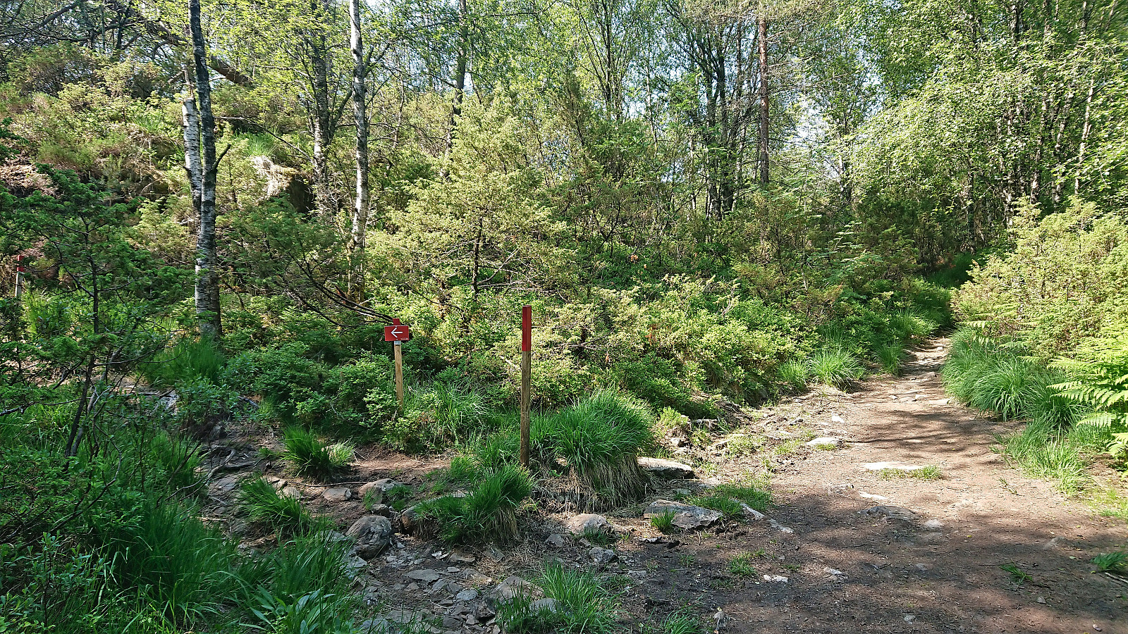
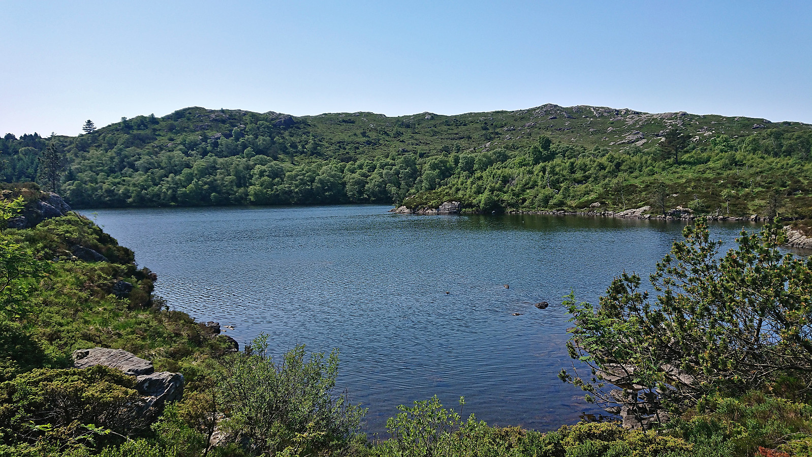
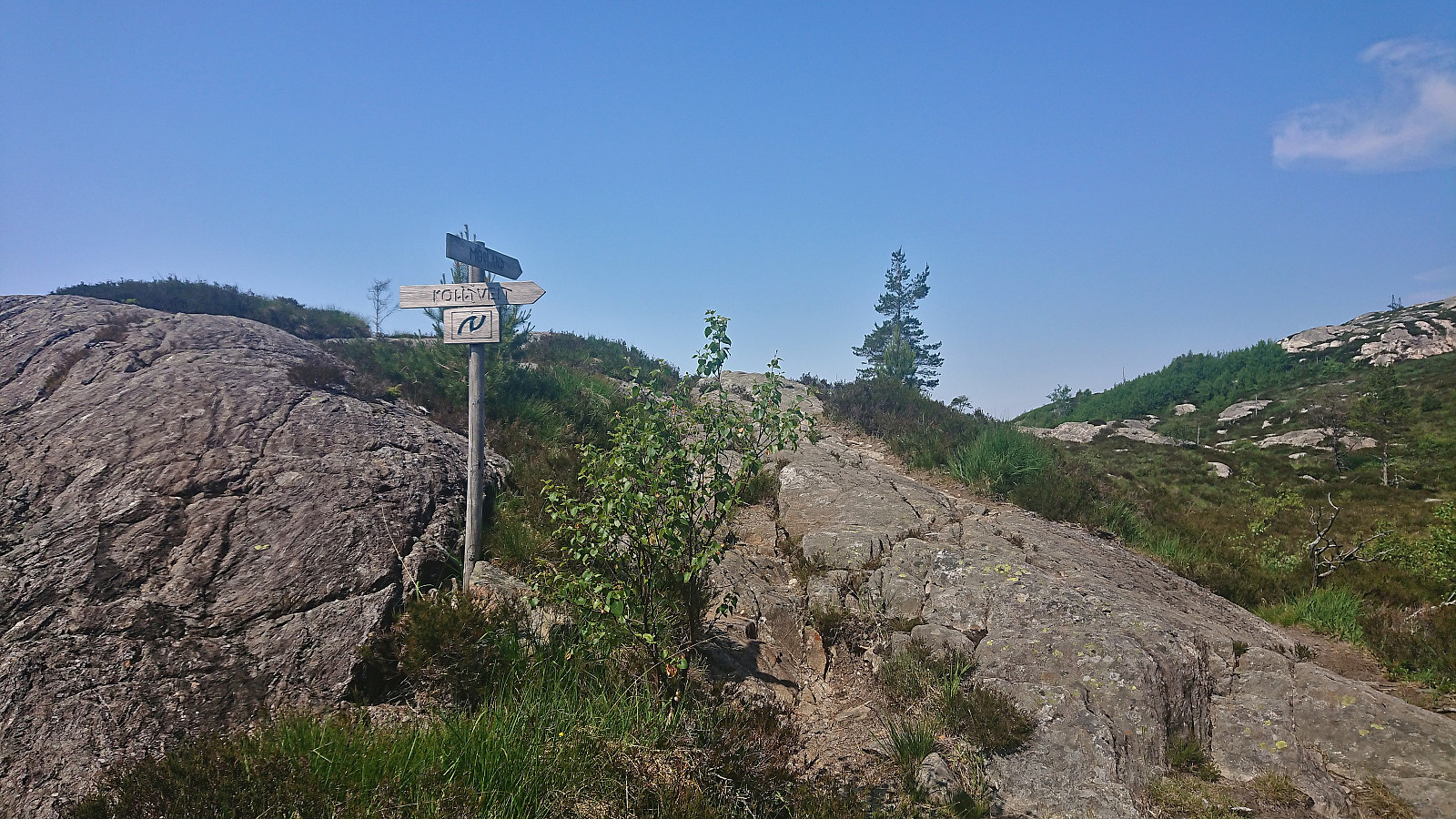
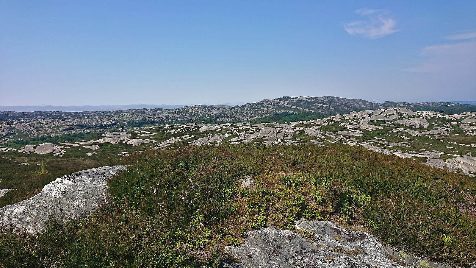
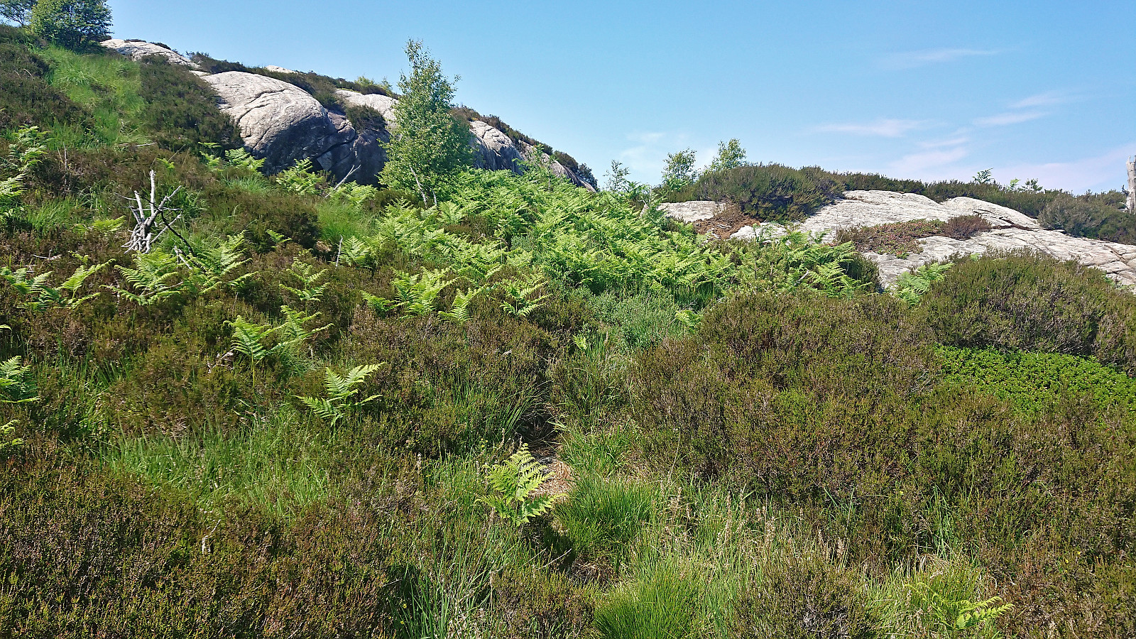
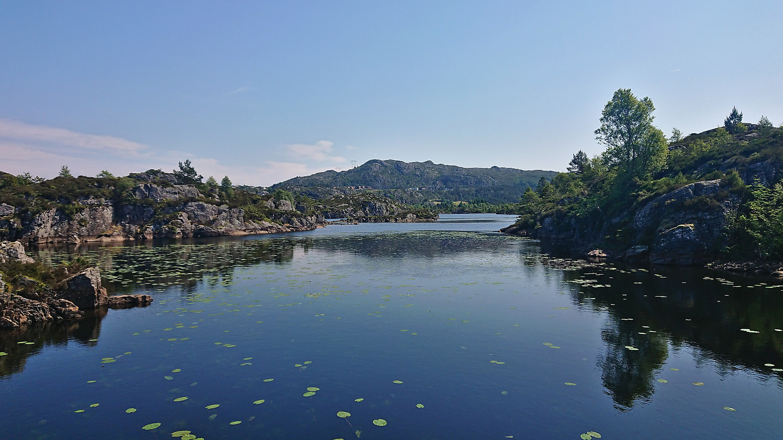
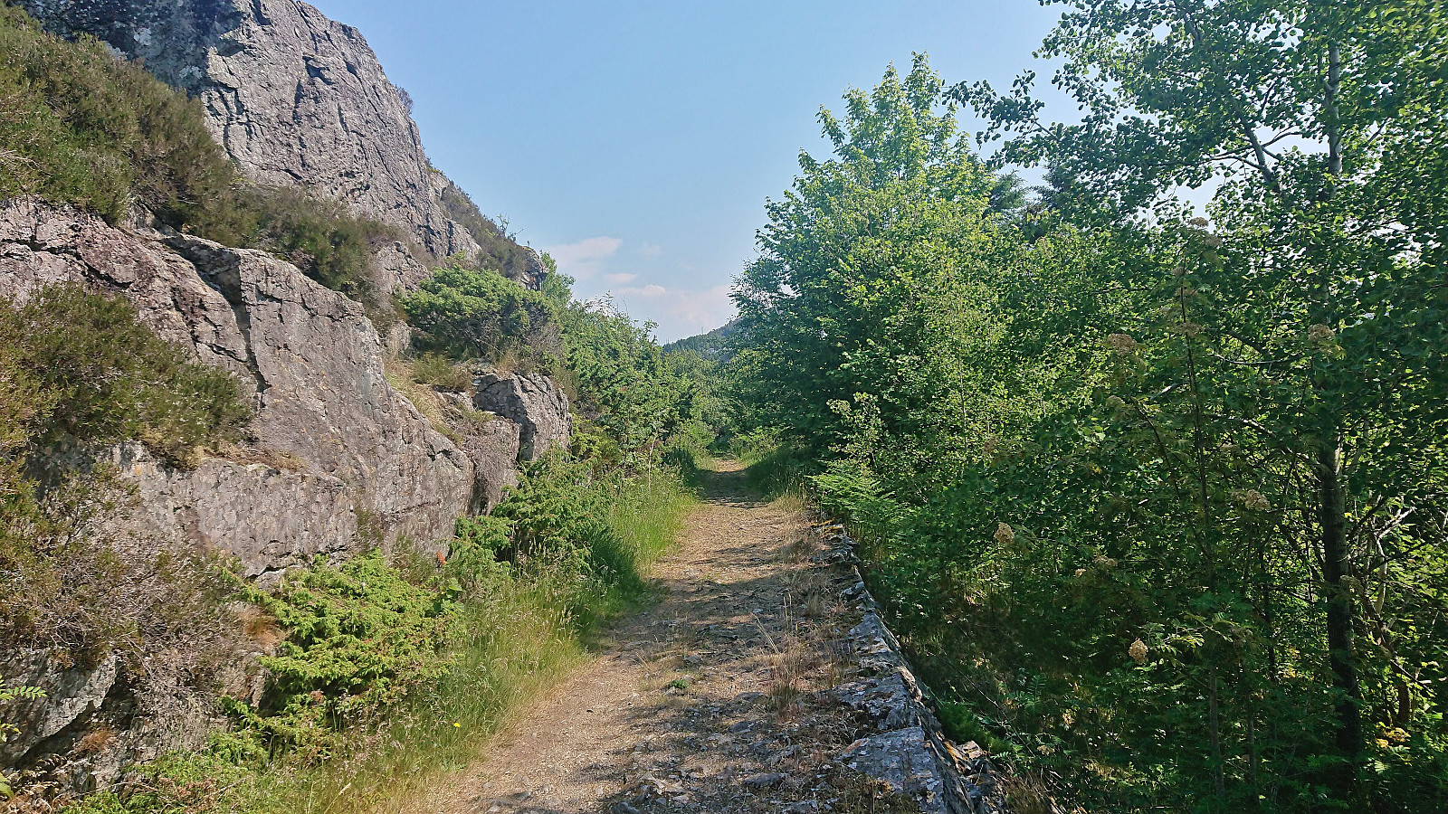
The trail markers for some reason also tried to send me southwest early on, but I ignored them and continued north, passing by several small lakes. I also ignored the first sign for Kolltveit as I had plans to first include a visit of Øst for Kyrkjenibben (previously just called Kyrkjenibben, but this is clearly a point further west and not the summit itself).
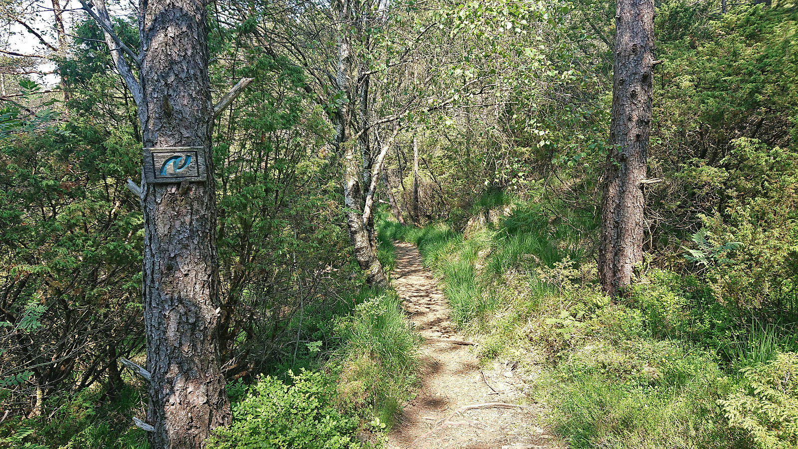
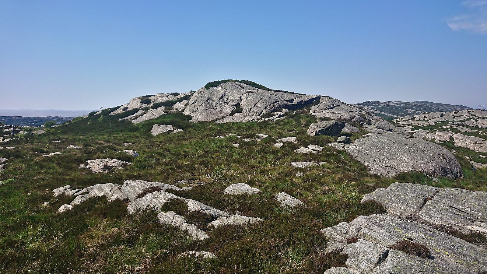
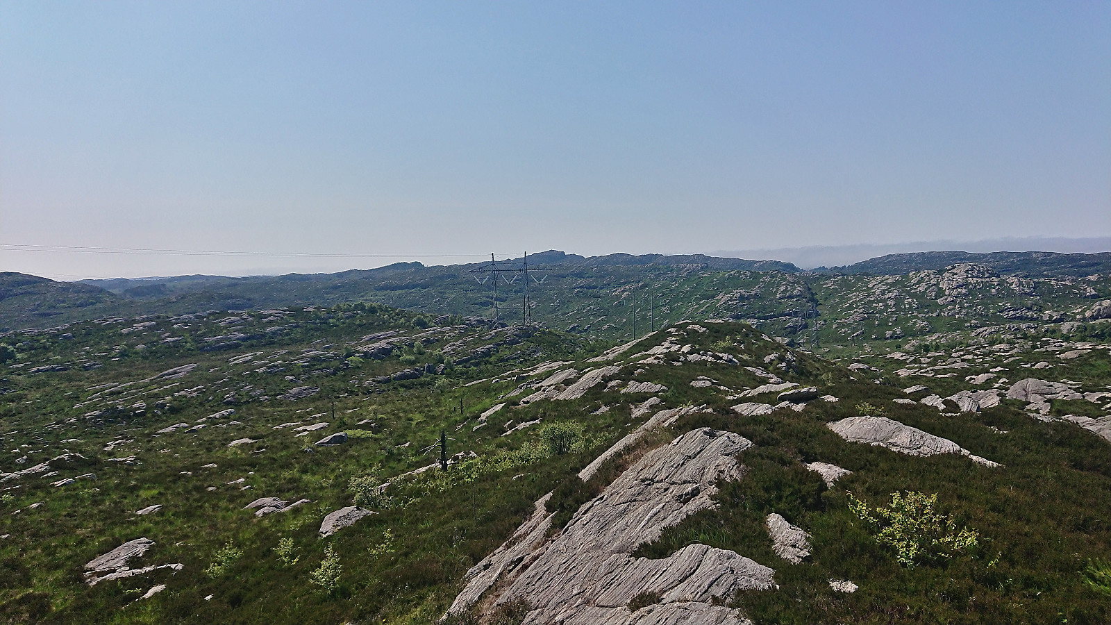
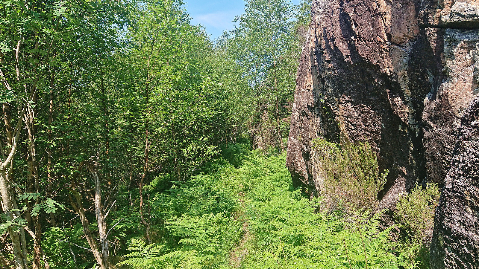
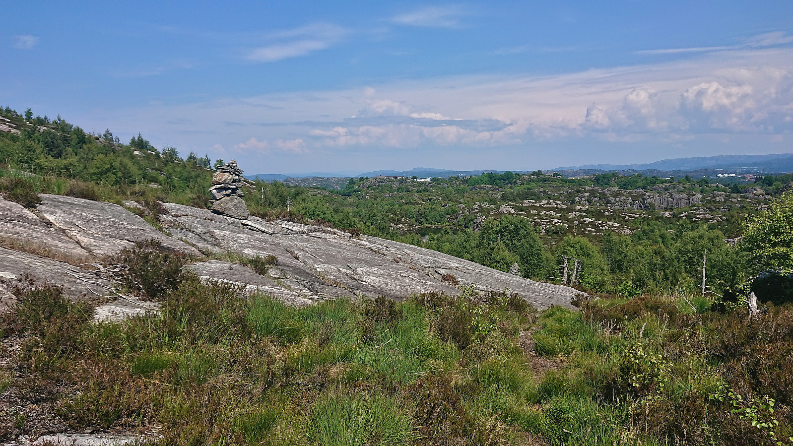
At the second sign for Kolltveit, I left the main trail and followed a much weaker trail northeast. The trail almost disappeared at times but could overall be followed without too much trouble. Southeast of the summit of Øst for Kyrkjenibben, the map indicated that the trail would split once more, but of this I could not find any traces and decided to stay on the weak trail I was on for a bit longer before heading off-trail to the highest point.
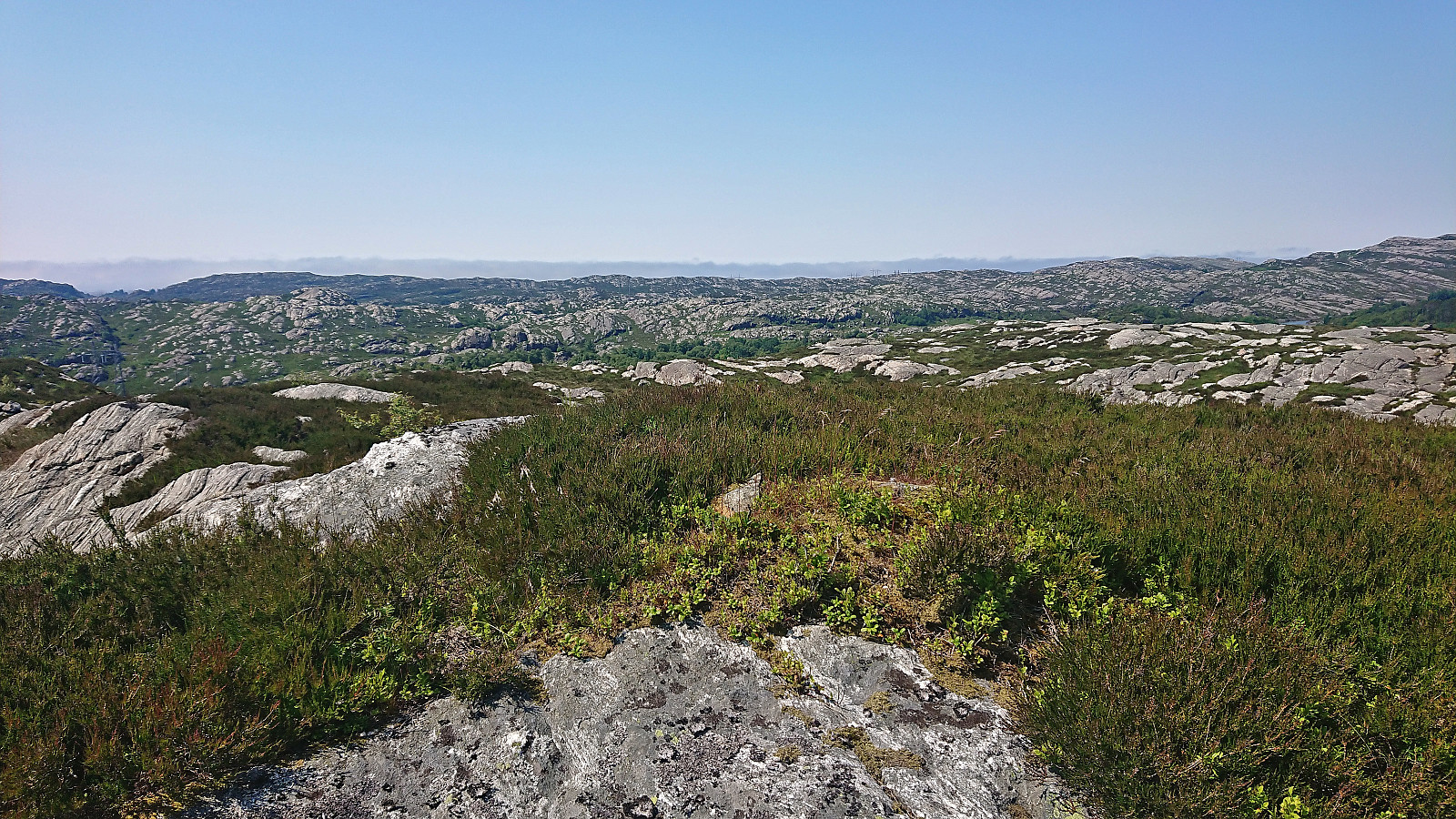
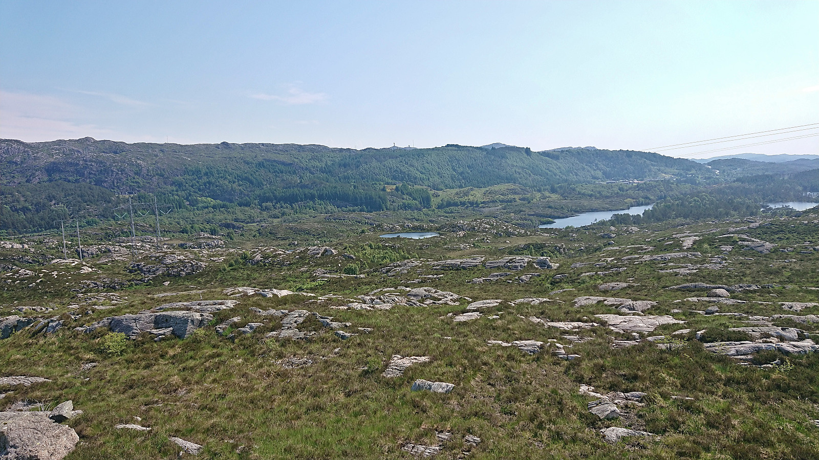
After a short break at the summit, I returned to the weak trail which I proceeded to follow north towards Nubbavatnet. So far, the trail had been weak but possible to follow and more or less matched what was indicated on the map. East of Nubbavatnet this however changed. At first I thought I had lost the trail, but after a bit of searching I managed to relocate it. Basically, one first has to shortly follow the trail forking left before returning northeast (see the GPS track for details).
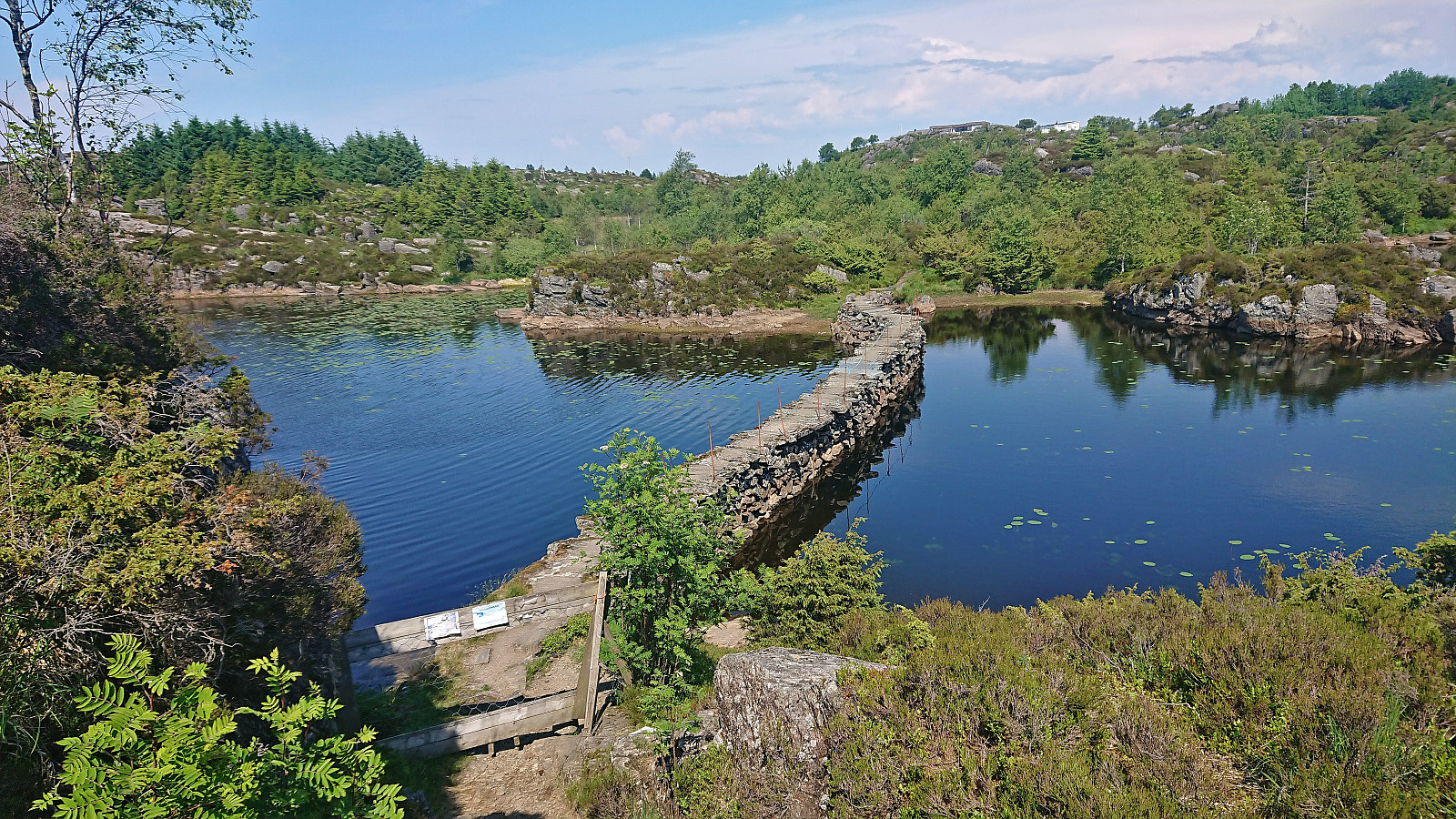
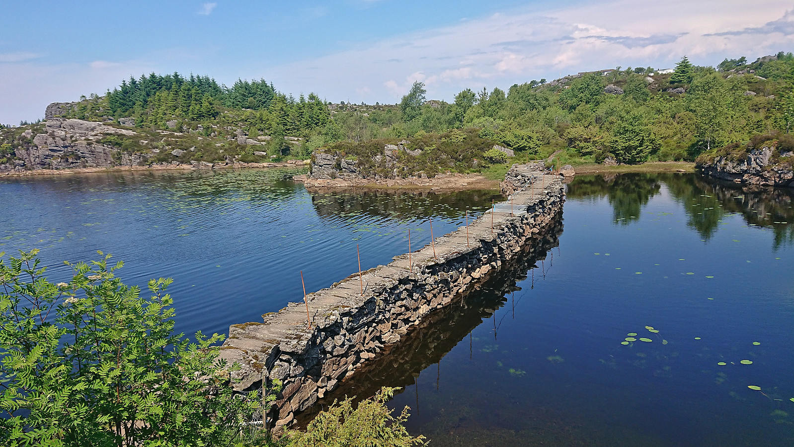
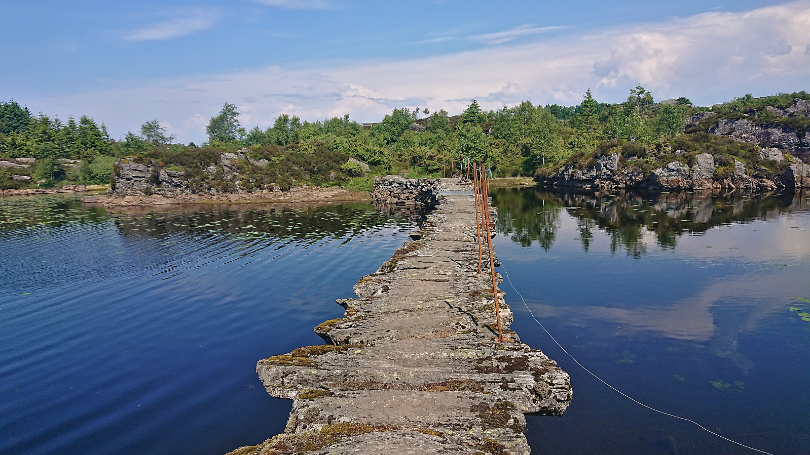
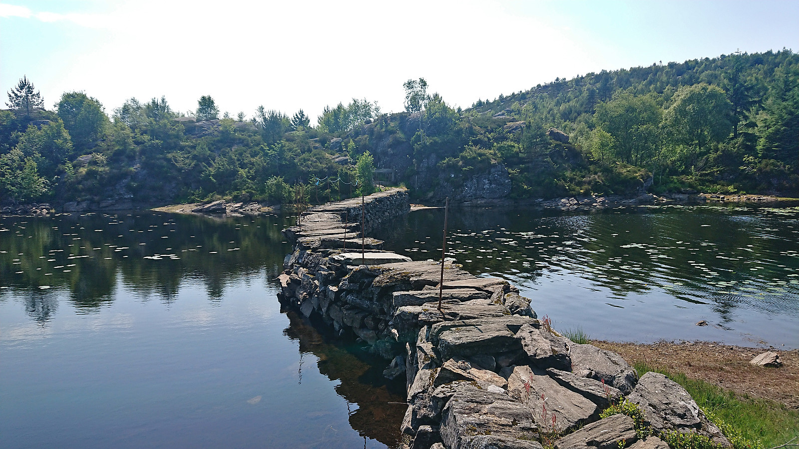
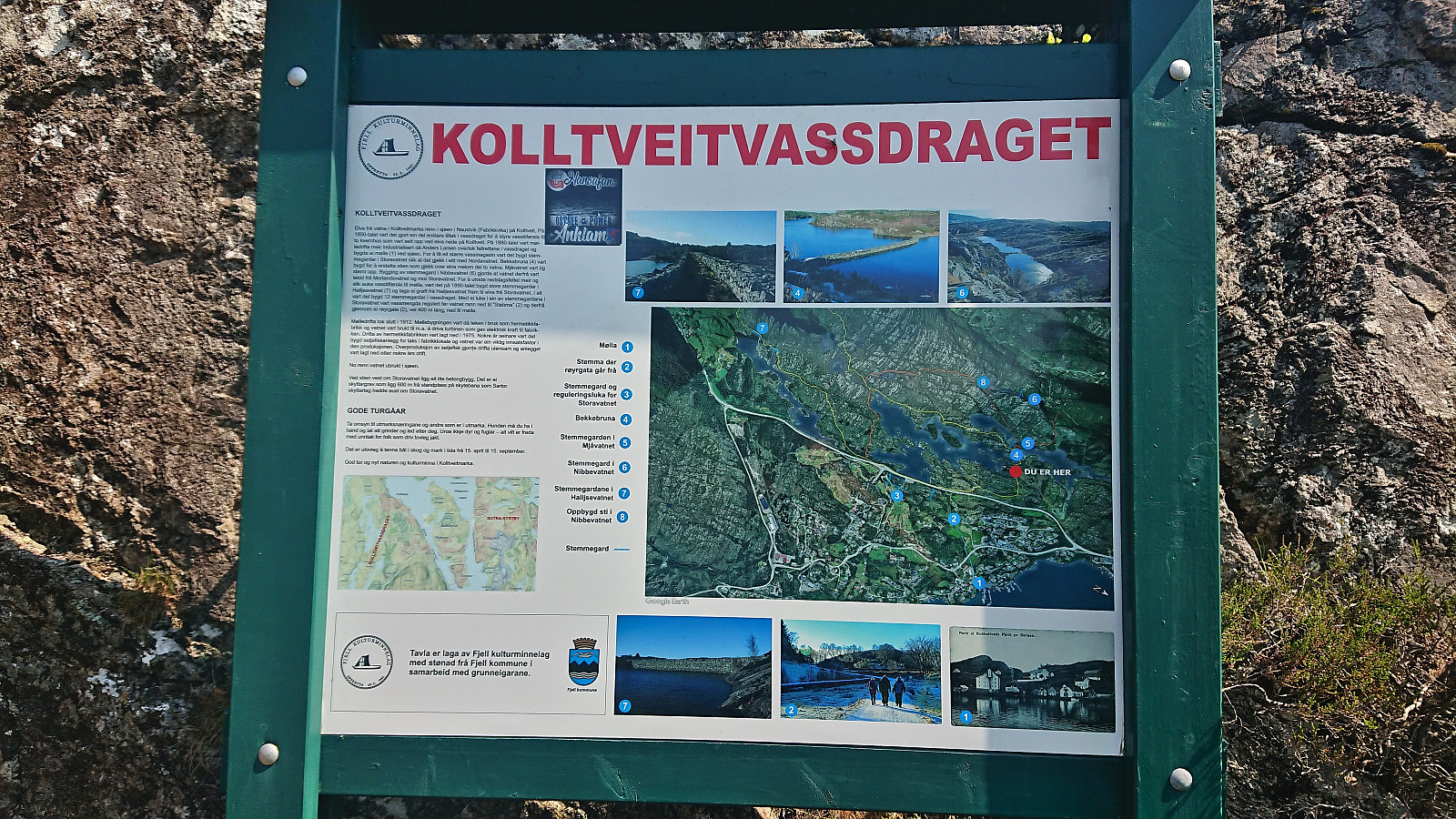
I soon arrived at the main reason for extending this hike to Kolltveit (and not simply returning to Fjell kyrkje), namely Bekkebruna - a unique bridge created to replace an older path that disappeared when Storavatnet was dammed up. See Kolltveitmarka rundt Storavatnet for more details.
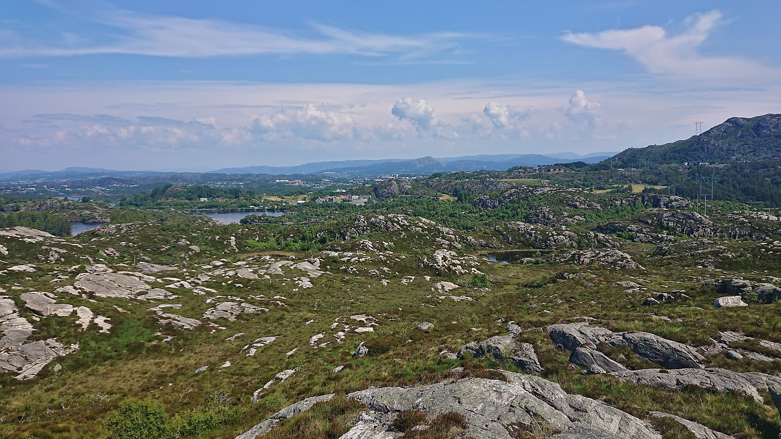
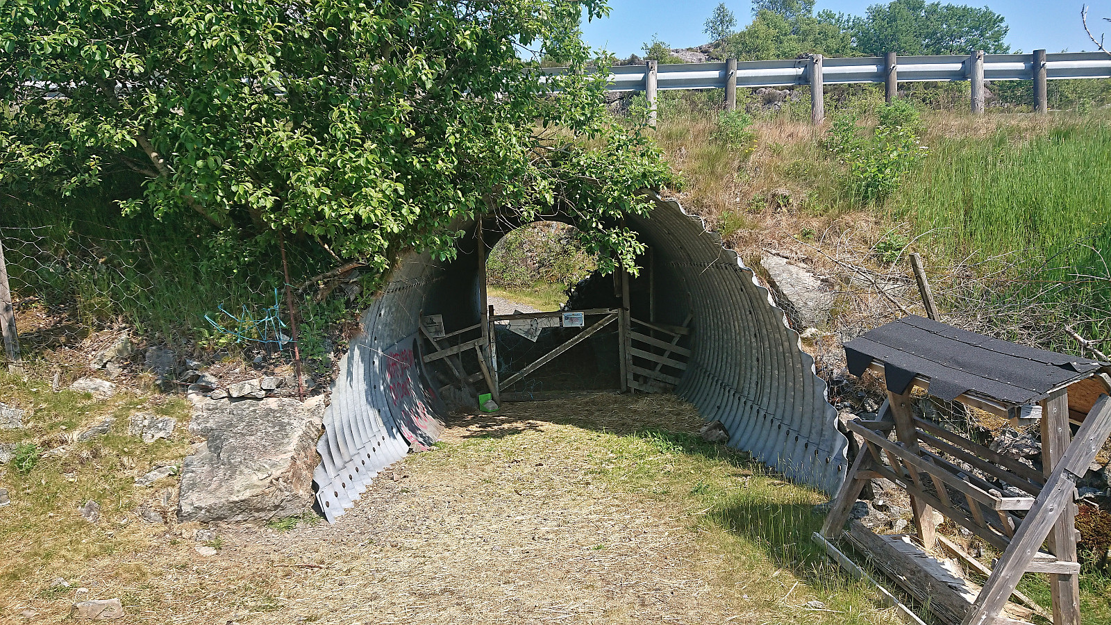
After crossing the refurbished bridge, I continued east to the main road. Here there was a small tunnel that provided safe access to the other side from where an old tractor road took me to the upper houses at Kolltveit. All that remained was then the short walk down to the bus stop in Kolltveitvegen.
In summary, a nice short hike with Bekkebruna the highlight.
| Start date | 18.06.2023 13:11 (UTC+01:00 DST) |
| End date | 18.06.2023 15:14 (UTC+01:00 DST) |
| Total Time | 2h 02min |
| Moving Time | 1h 38min |
| Stopped Time | 0h 24min |
| Overall Average | 2.5km/h |
| Moving Average | 3.1km/h |
| Distance | 5.1km |
| Vertical meters | 131m |

User comments