Storås and Klauv from Våge (30.04.2023)

| Startpunkt | Våge v/Tittelsnesvegen (19m) |
|---|---|
| Endpunkt | Våge v/Tittelsnesvegen (19m) |
| Tourcharakter | Bergtour |
| Tourlänge | 5h 10min |
| Entfernung | 22,1km |
| Höhenmeter | 567m |
| GPS |
|
| Besteigungen | Klauv (245m) | 30.04.2023 |
|---|---|---|
| Storås (136m) | 30.04.2023 | |
| Besuche anderer PBE | Klauv - sti fra sør (45m) | 30.04.2023 |
Storås and Klauv from Våge
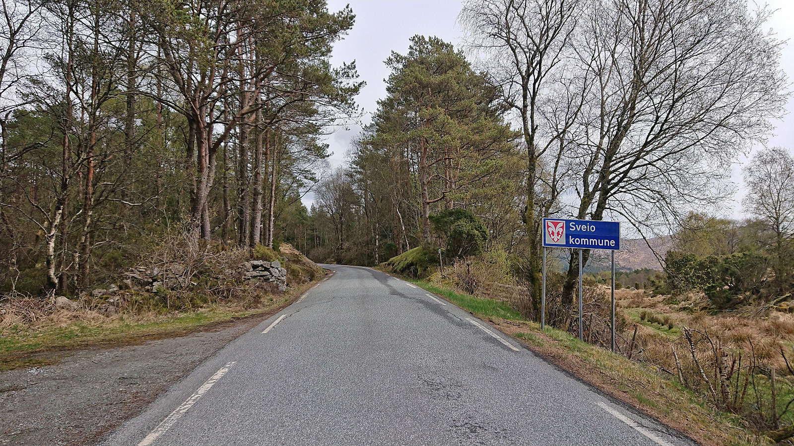

I have to admit that peak bagging via public transportation has its added challenges, especially when the distance to the trailhead from the nearest bus stop is almost 9.5 km. But in the case of Storås in Sveio, that distance could thankfully be easily covered by following a side road with limited traffic.
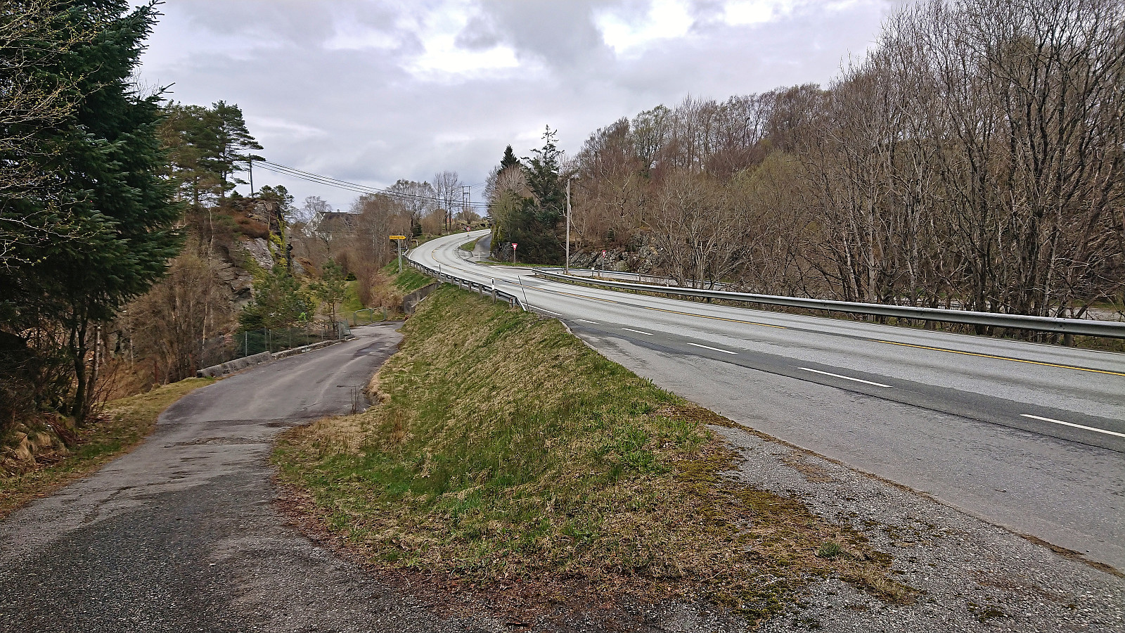
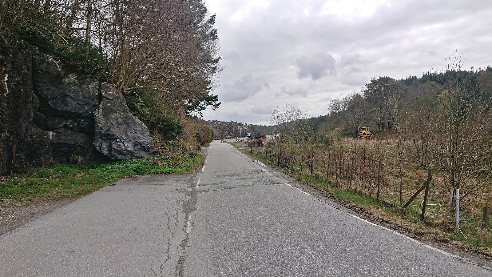
The trip started by taking the express bus from Bergen to Sveio and getting off at the stop with the interesting name "Søre Våge sør". I immediately left the main road heading south to Haugesund, and instead turned east on a smaller single-lane road. Soon I even left Sveio, entering Haugesund and Rogaland, and would not reenter Sveio until almost an hour later. On my way I also passed by the trailhead for the highest summit in Haugesund called Klauv, which I planned to ascend on my way back (if time permitted).
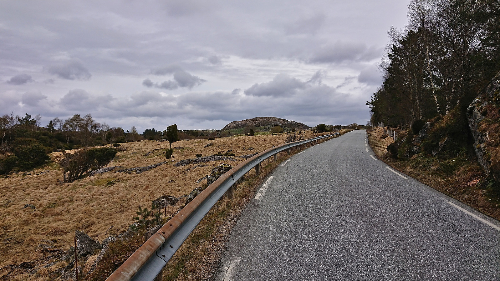
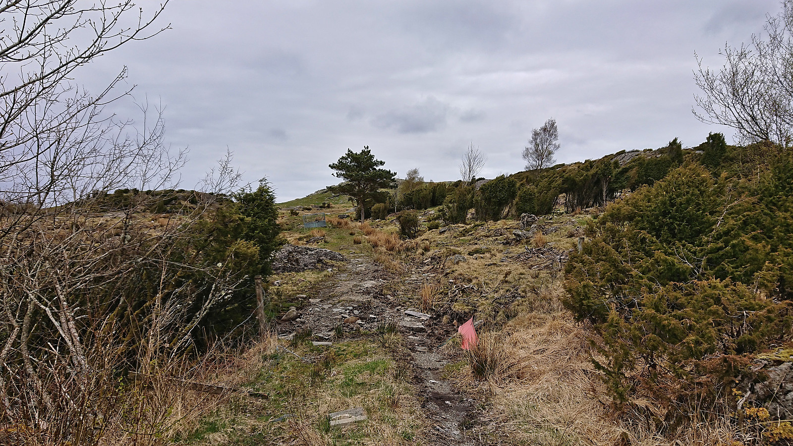
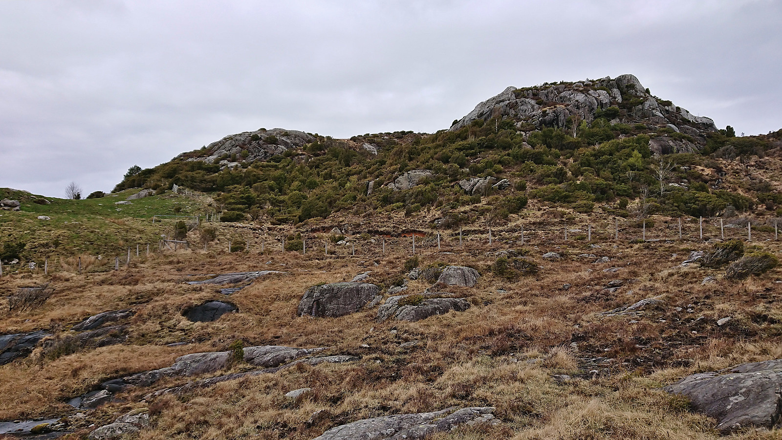
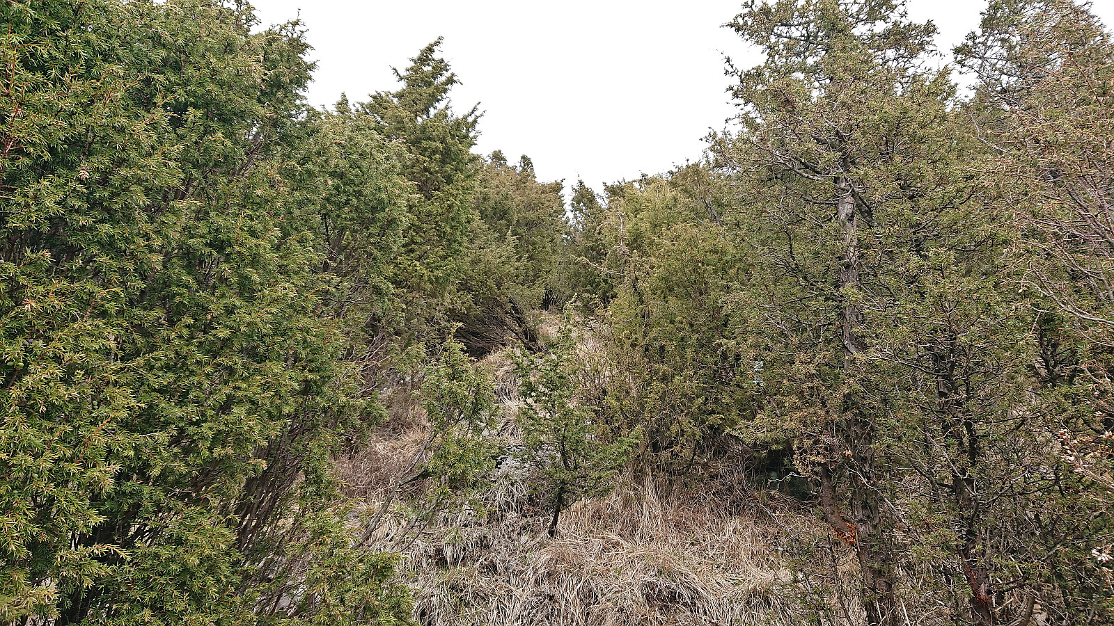
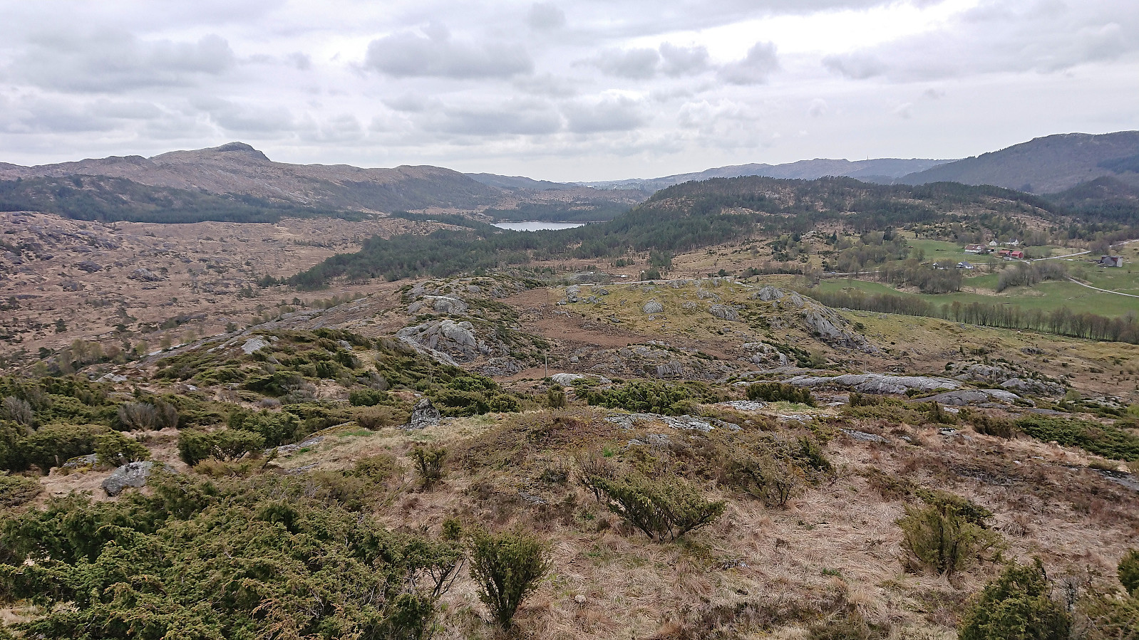
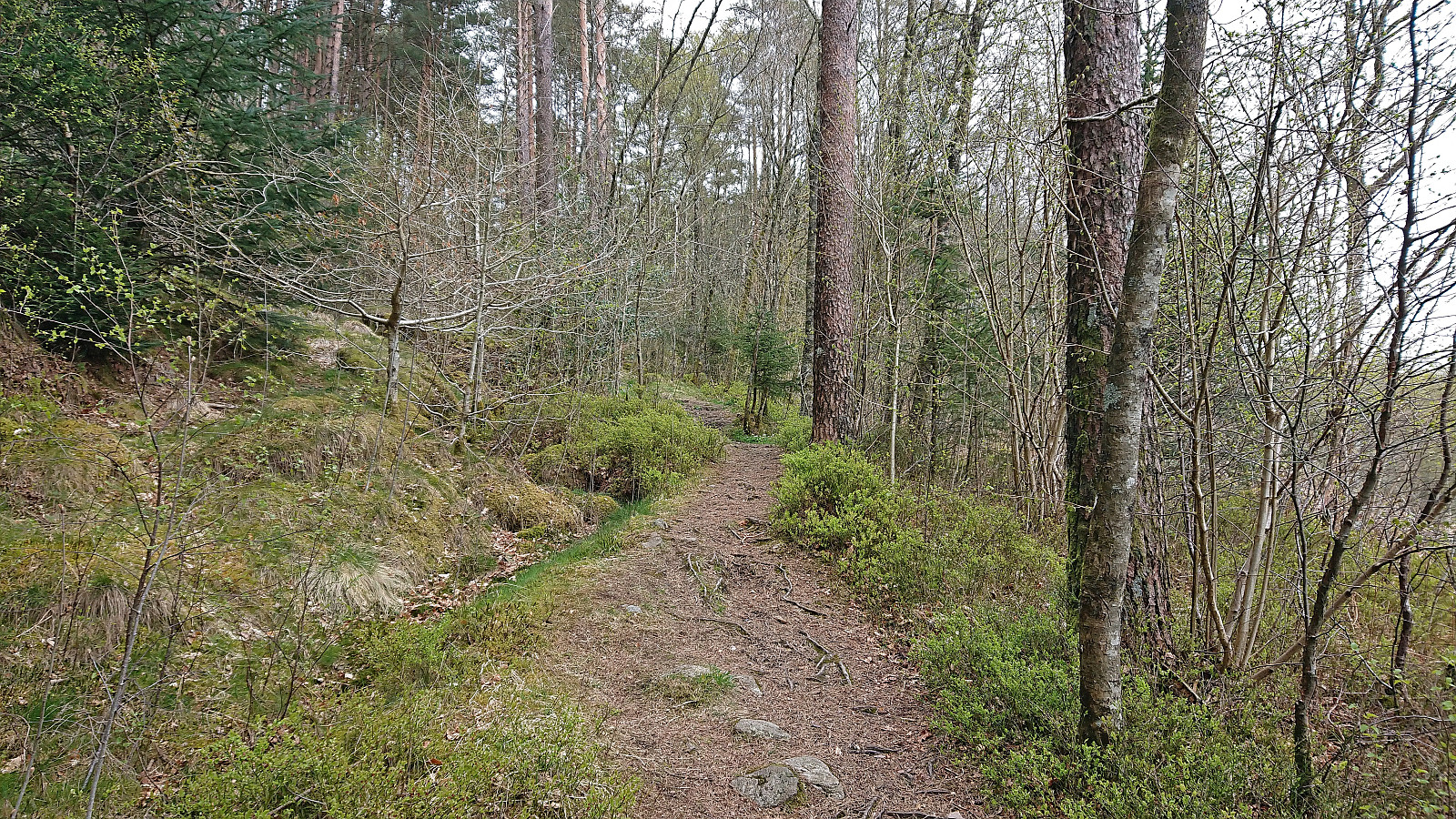
Roughly 1.5 hours later, along a paved road with overall rather limited views, I could finally begin the ascent of Storås. I first passed through an open gate and followed a tractor road until it ended just south of the summit of Litleås. By navigating my way through the bushes up and across Litleås, I initially avoided having to cross the fences topped with barbed wire. But as I descended into the valley between the two small hills to start the last part of the ascent, I was out of options and had to find a spot to cross the fence where there was no risk of damaging the fence or injuring myself.
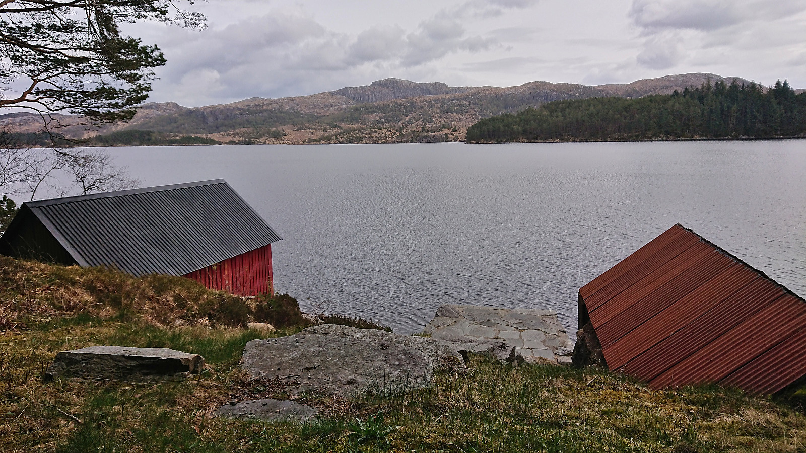
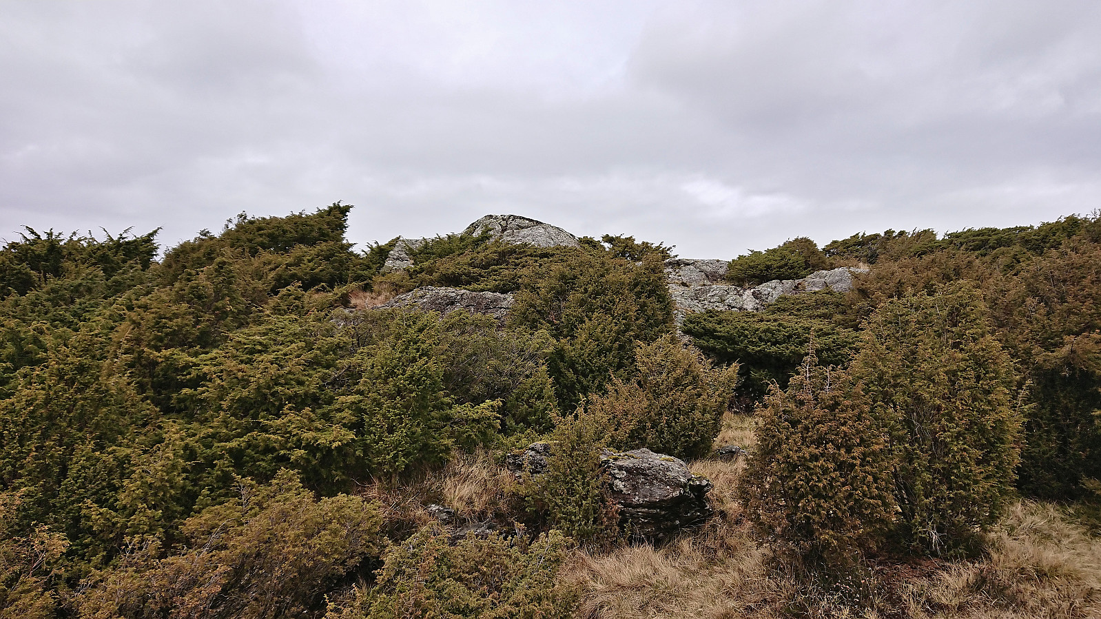
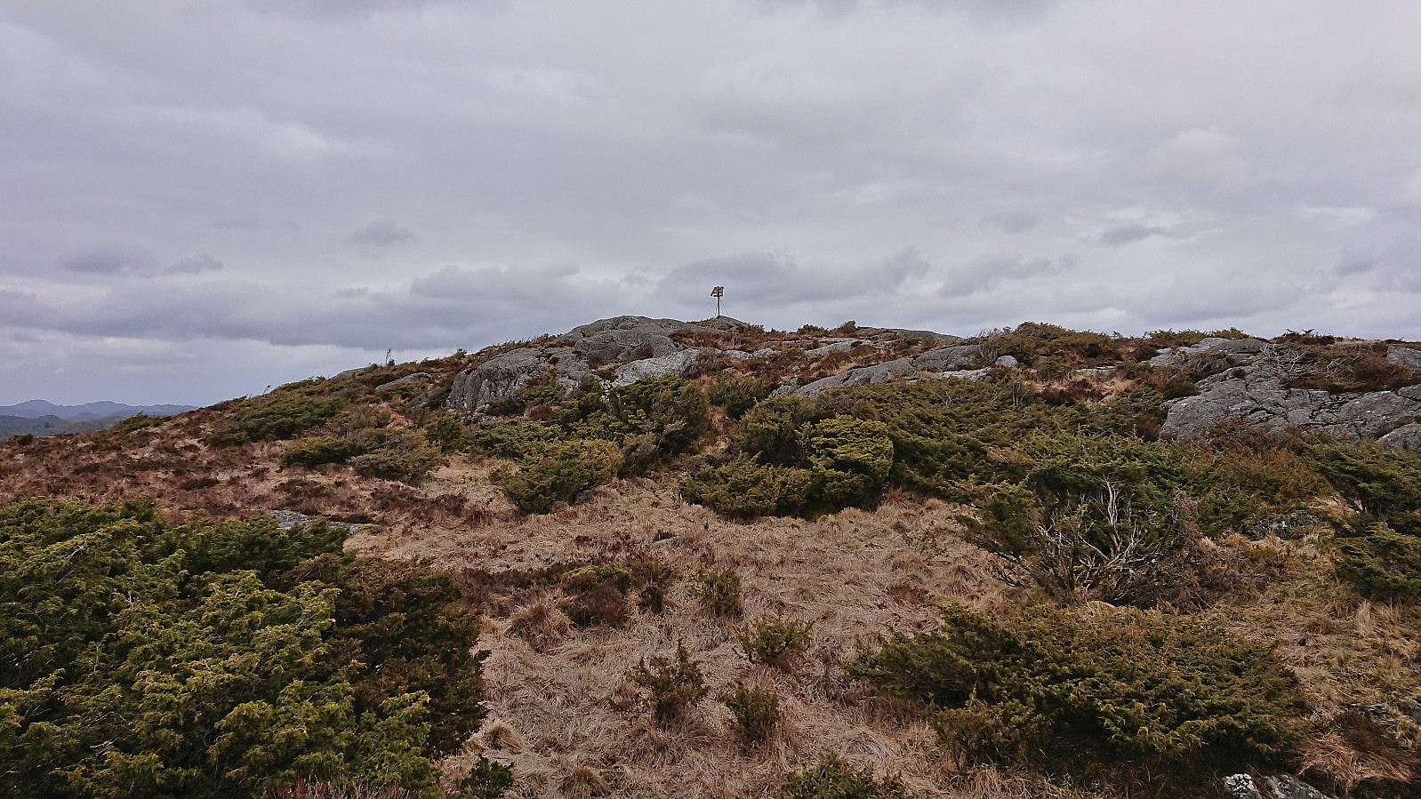
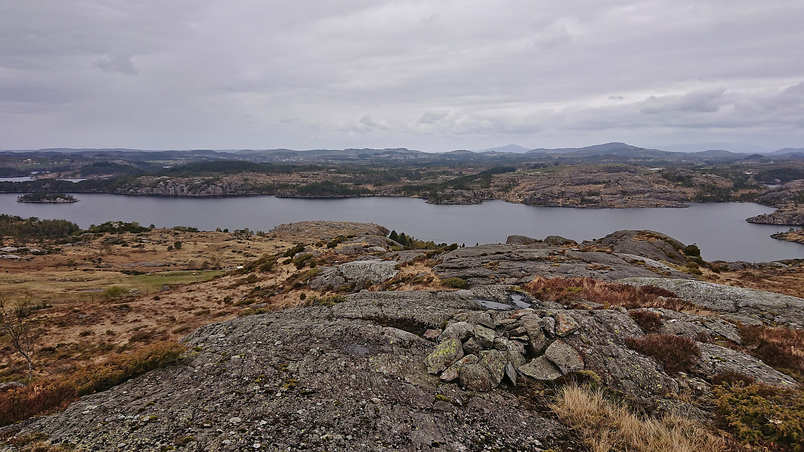
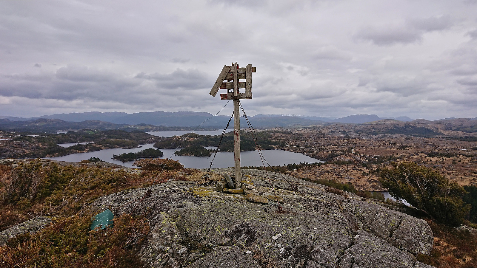
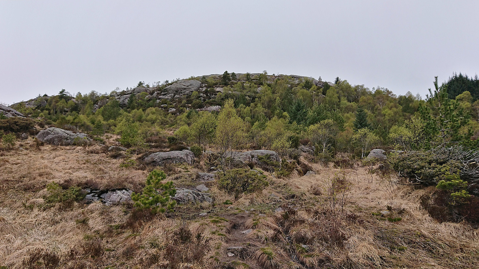
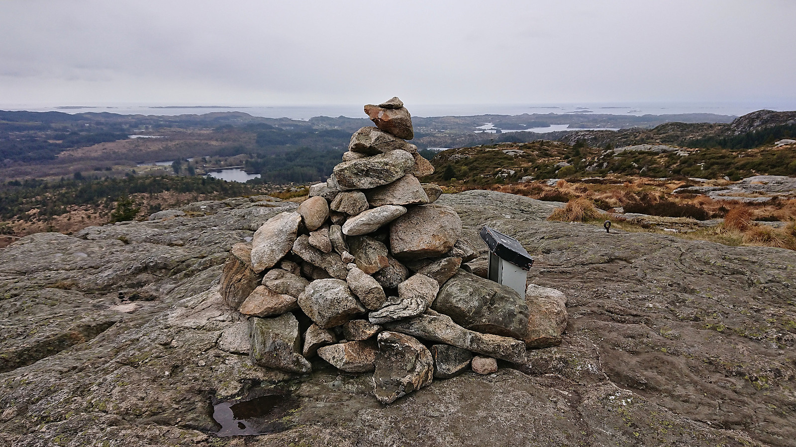
After safely crossing the fence, I passed through an open gate and again had to navigate my way through openings in the dense vegetation to finally reach the summit. Excellent panoramic views from the trig marker at the summit. I however did not stay long before descending along more or less the same route. Note that the area around Storås is used for grazing cattle during the summer, hence you may want to avoid this part of the year.
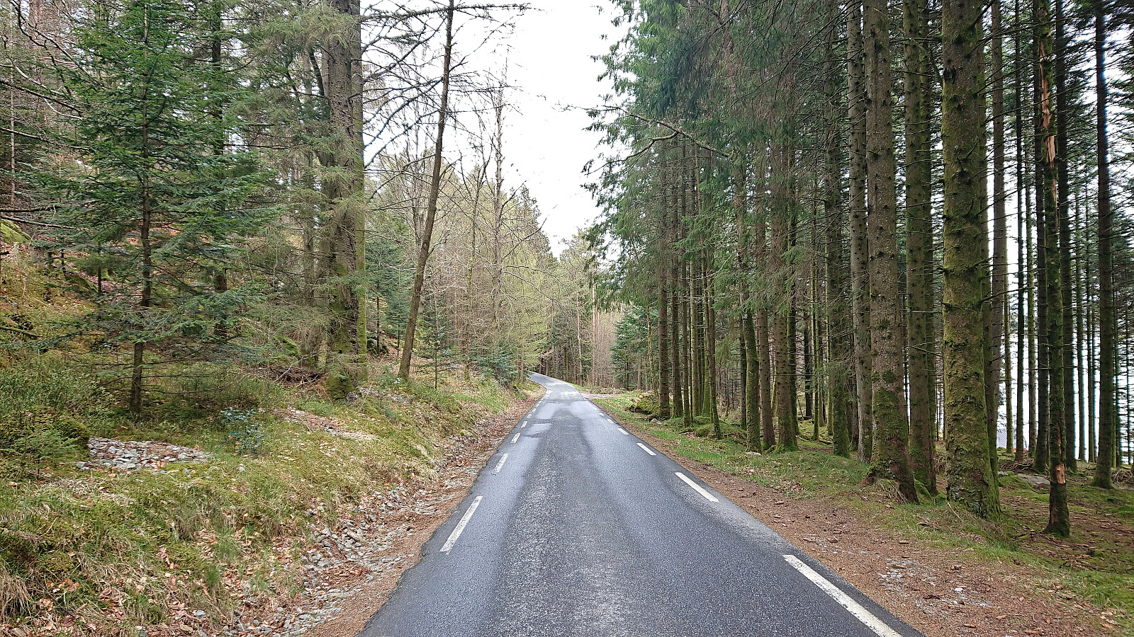
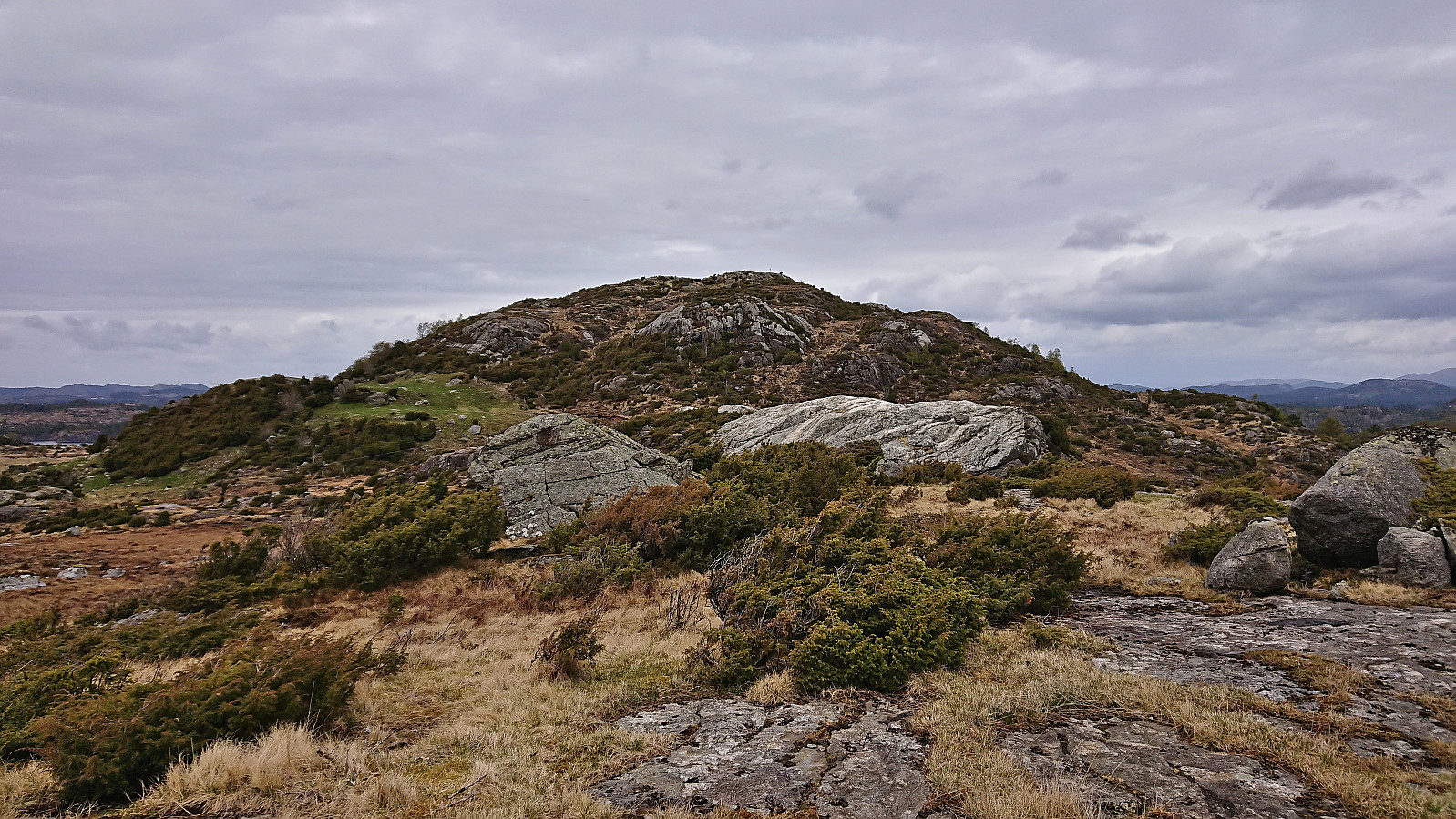
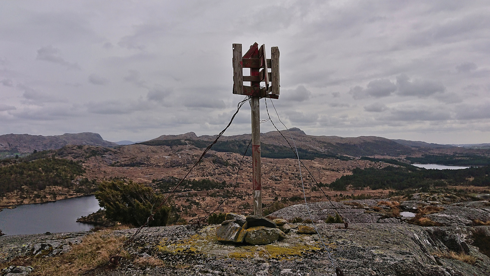
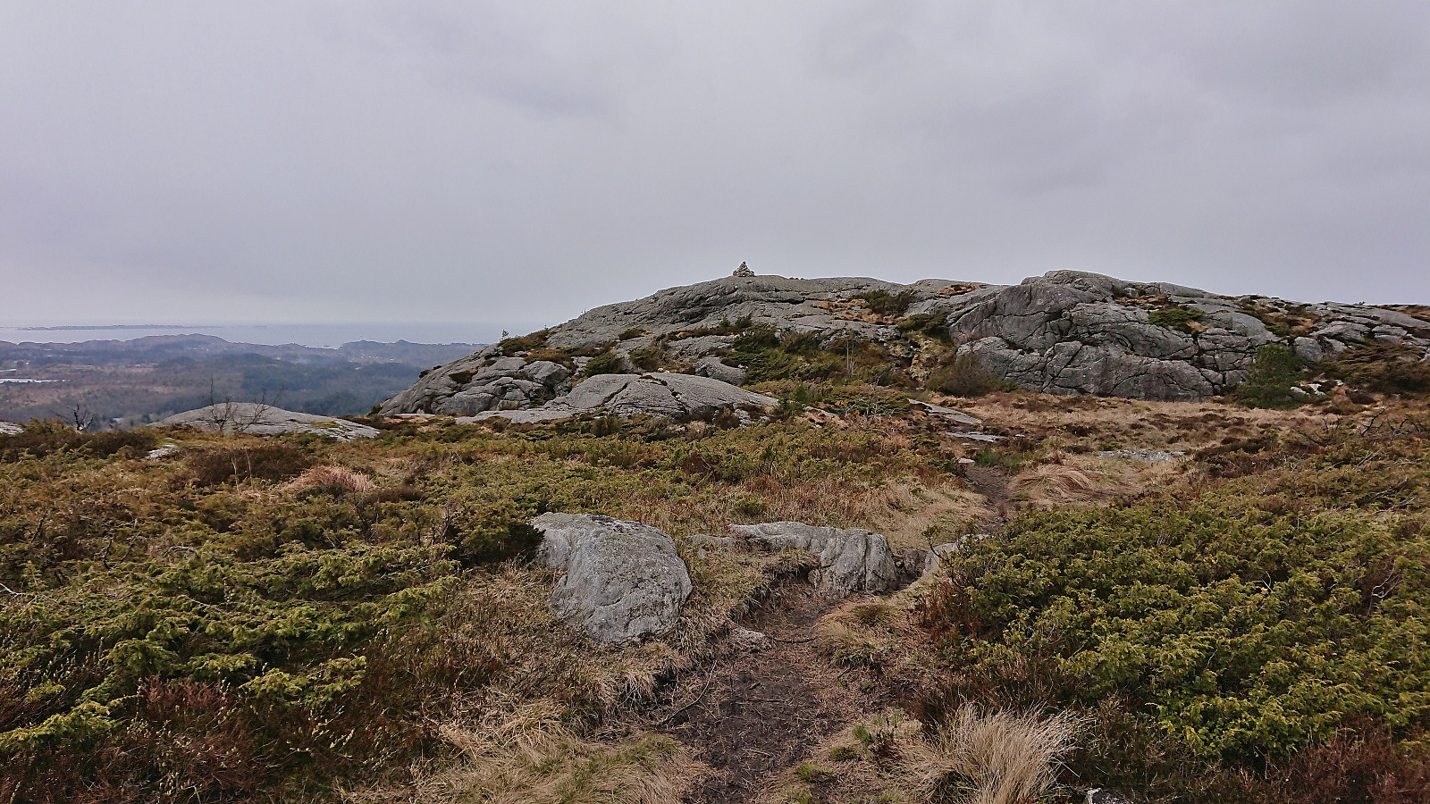
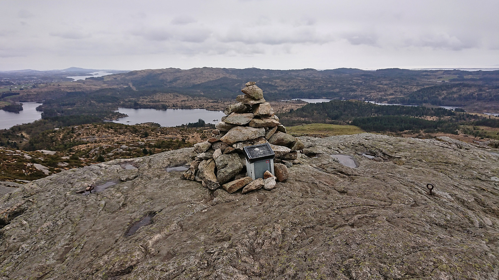
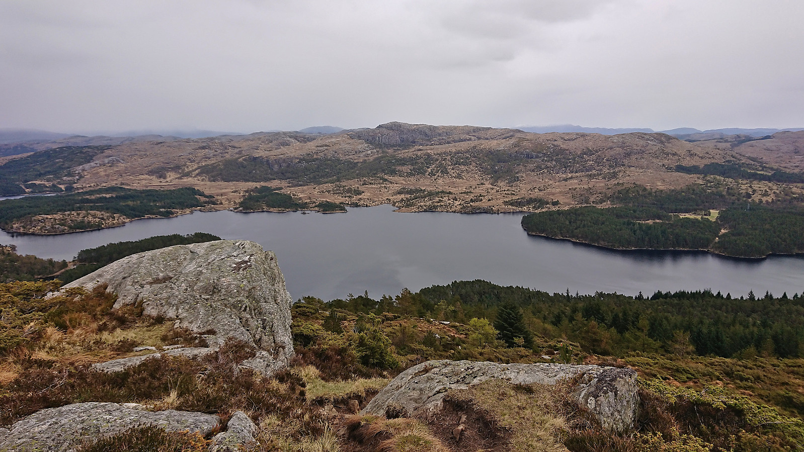
On my way back to the bus stop at Våge, I figured out that I should have more than enough time for a visit of Klauv. Interestingly it is the only summit in Haugesund with more than 100 meters vertical separation. Given that it is also the highest summit in Haugesund, I was surprised to find the trailhead, and the trail, completely unmarked.
The trail was however easy to follow and it did not take long before I arrived at the summit. After a short break out of the wind just below the summit, I descended along the same trail. I still had plenty of time to walk back to Våge, and even though I tried to take it slow, I still got to the bus stop with almost half an hour to spare.
To conclude, this type of hike, i.e. including more walking along paved roads than real hiking, may not be to everyone's liking, but this particular hike does provide a semi-reasonable way of visiting these two summits without requiring a car.
On the other hand, the distance from Våge to the Storås trailhead can be covered by car in around 20 minutes, and that includes both directions... ;)

| Startzeitpunkt | 30.04.2023 12:31 (UTC+01:00 SZ) |
| Endzeitpunkt | 30.04.2023 17:42 (UTC+01:00 SZ) |
| Gesamtzeit | 5h 10min |
| Zeit in Bewegung | 4h 55min |
| Pausenzeit | 0h 15min |
| Gesamtschnitt | 4,3km/h |
| Bewegungsschnitt | 4,5km/h |
| Entfernung | 22,1km |
| Höhenmeter | 566m |

Benutzerkommentare