Gråfjellet from Lussand (18.04.2023)

| Startpunkt | Lussand (22m) |
|---|---|
| Endpunkt | Lussand (16m) |
| Tourcharakter | Bergtour |
| Tourlänge | 4h 25min |
| Entfernung | 9,3km |
| Höhenmeter | 791m |
| GPS |
|
| Besteigungen | Gråfjellet (723m) | 18.04.2023 |
|---|
Gråfjellet from Lussand

After spending two days at a conference at Voss, most of my colleagues returned to Bergen shortly after the late lunch. I however decided to take advantage of the excellent weather and instead return to Bergen via a detour including an ascent of Gråfjellet in Granvin. When talking about my plans during the breaks at the conference I had managed to spike the interest of one of my colleagues, and after changing into our hiking gear we hopped on the bus to Lussand and were ready to start our hike shortly after 15:00.
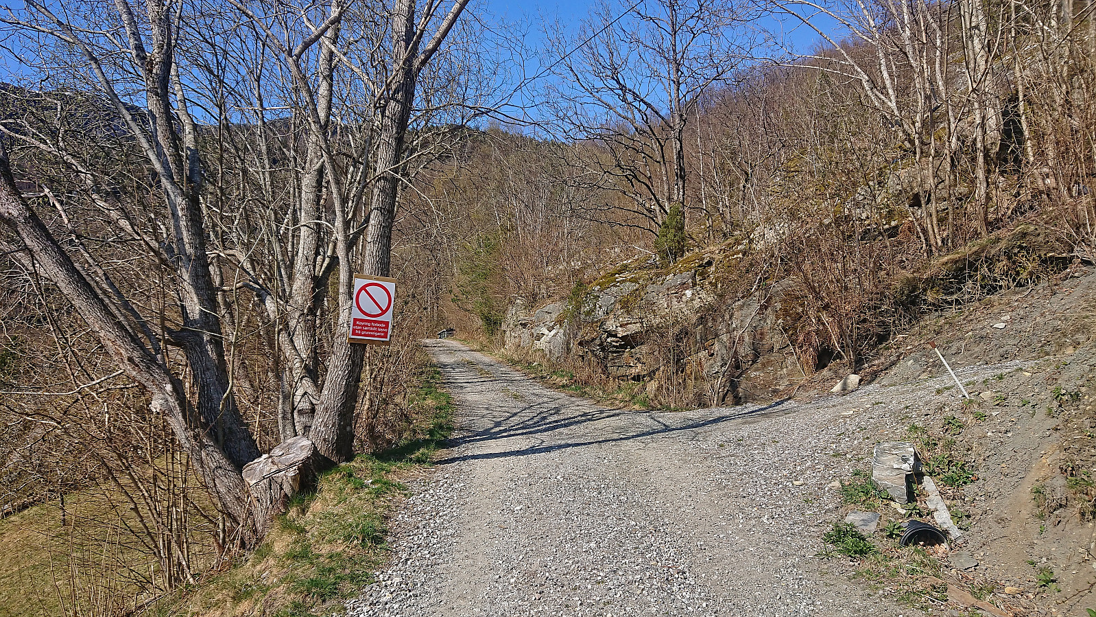
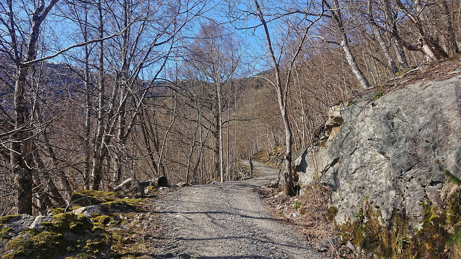
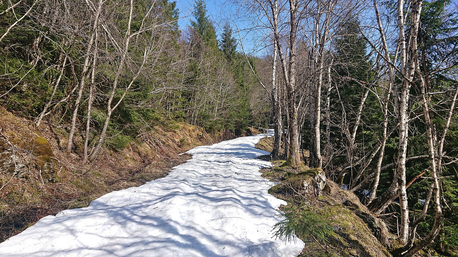
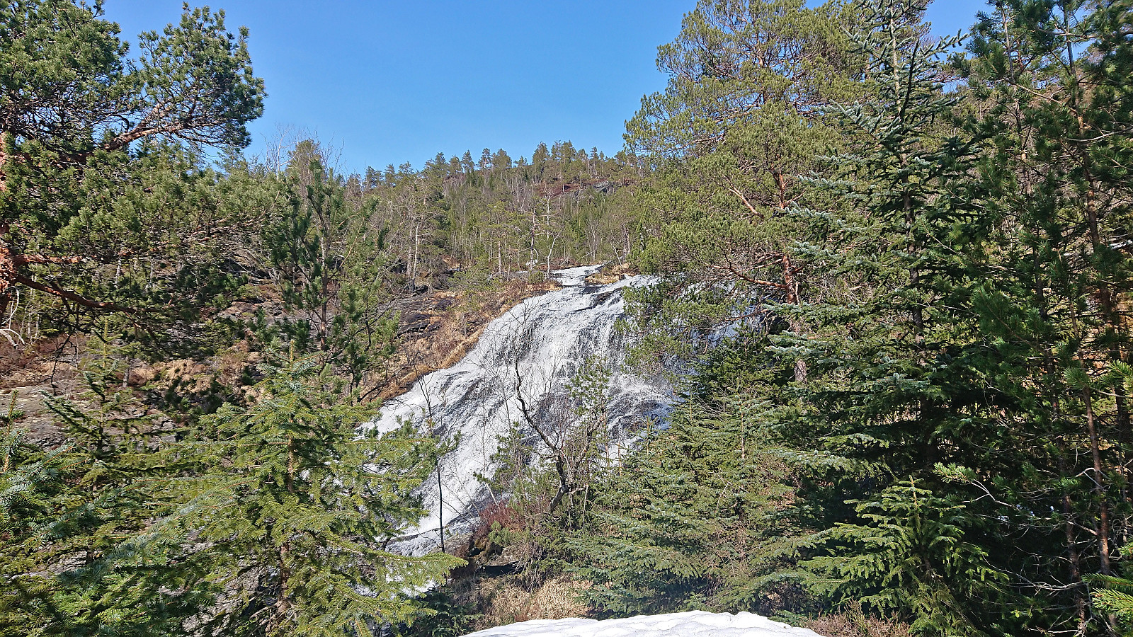
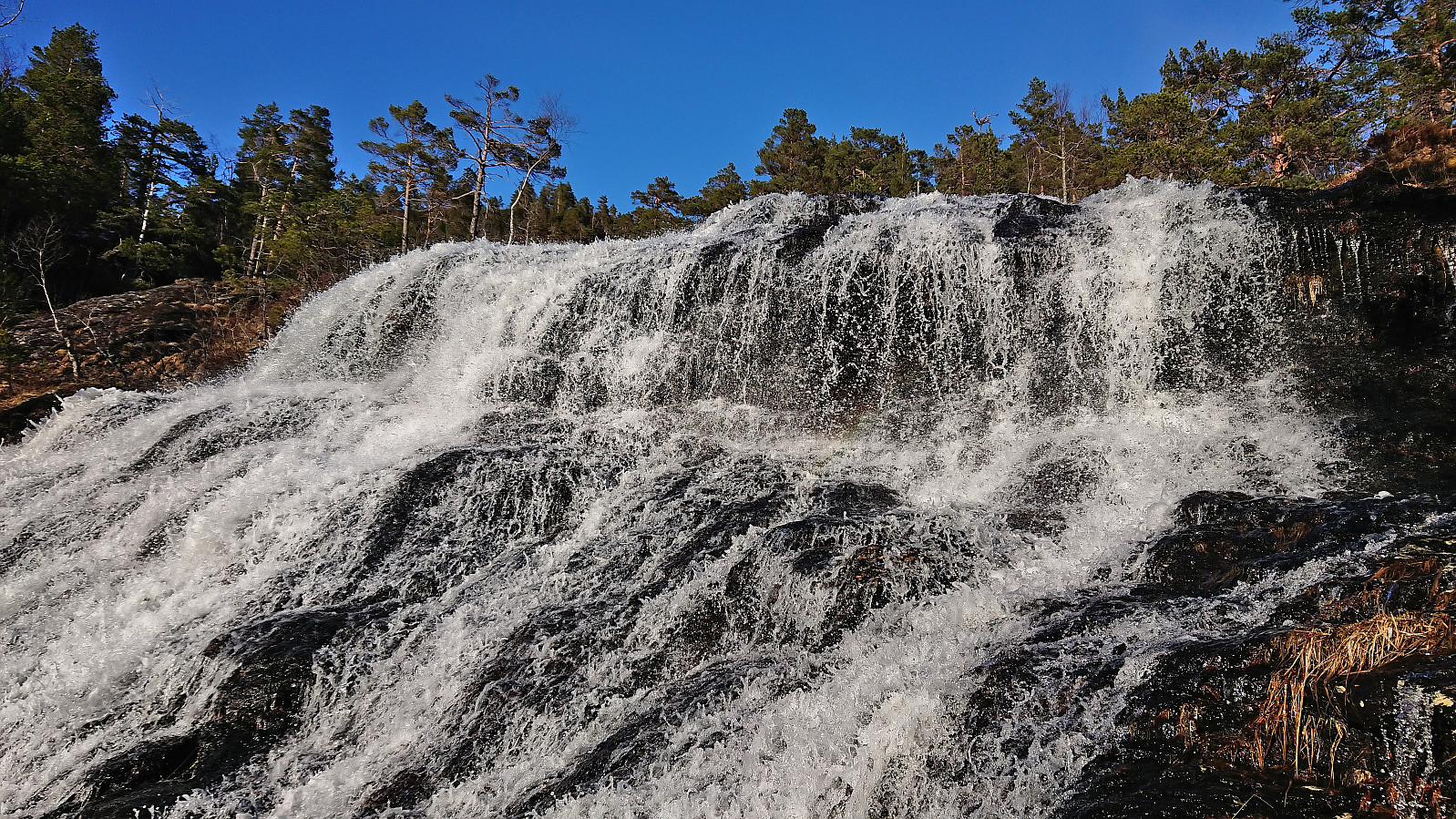
We started by walking southeast along the old main road south of Bjørgatunnelen before following the winding Fossdalsvegen, a steep private gravel road, up to the river coming down from Veslevatnet. Here we left the road behind, which towards the end had been covered by snow, and continued off-trail towards the summit. We did spot something looking like a weak trail early on, but whether this was a trail or not was difficult to tell given that it was soon hidden underneath the snow anyway.
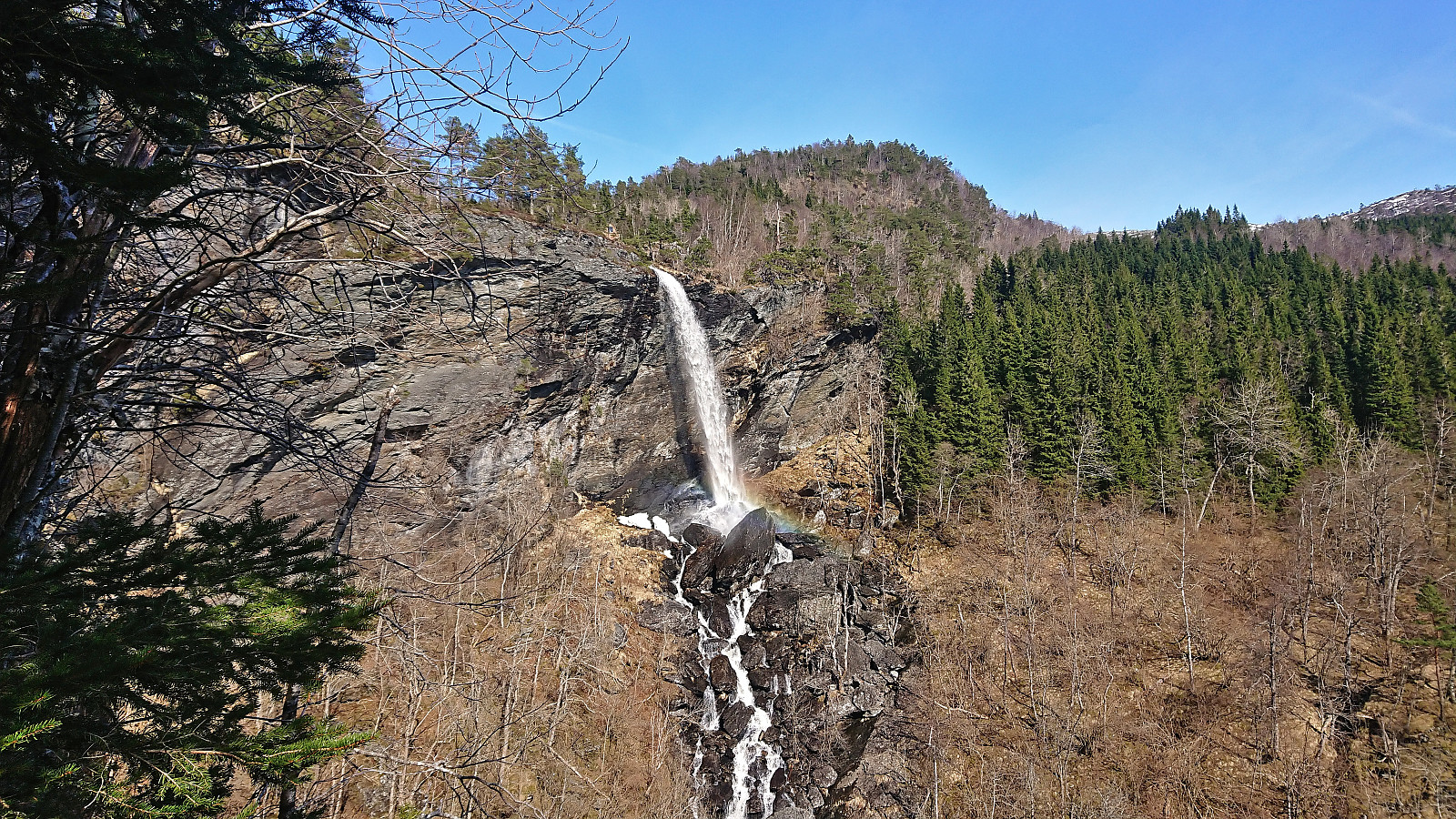
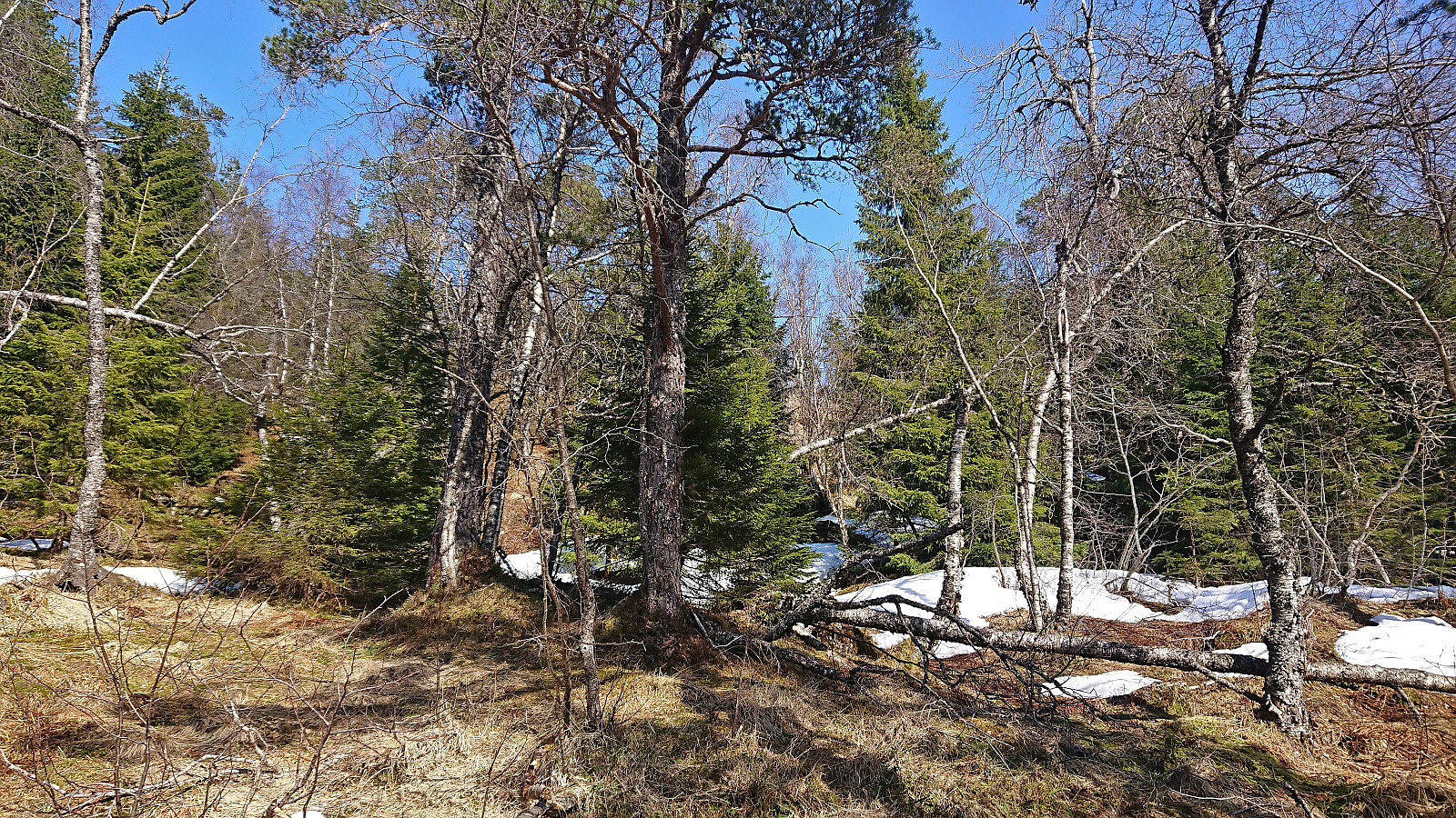
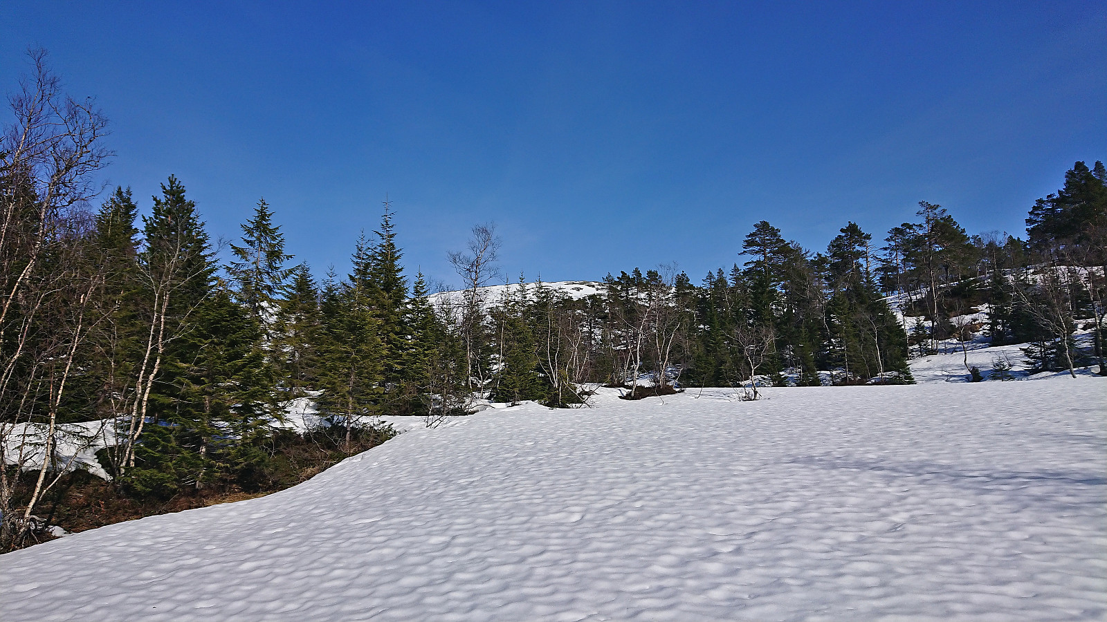
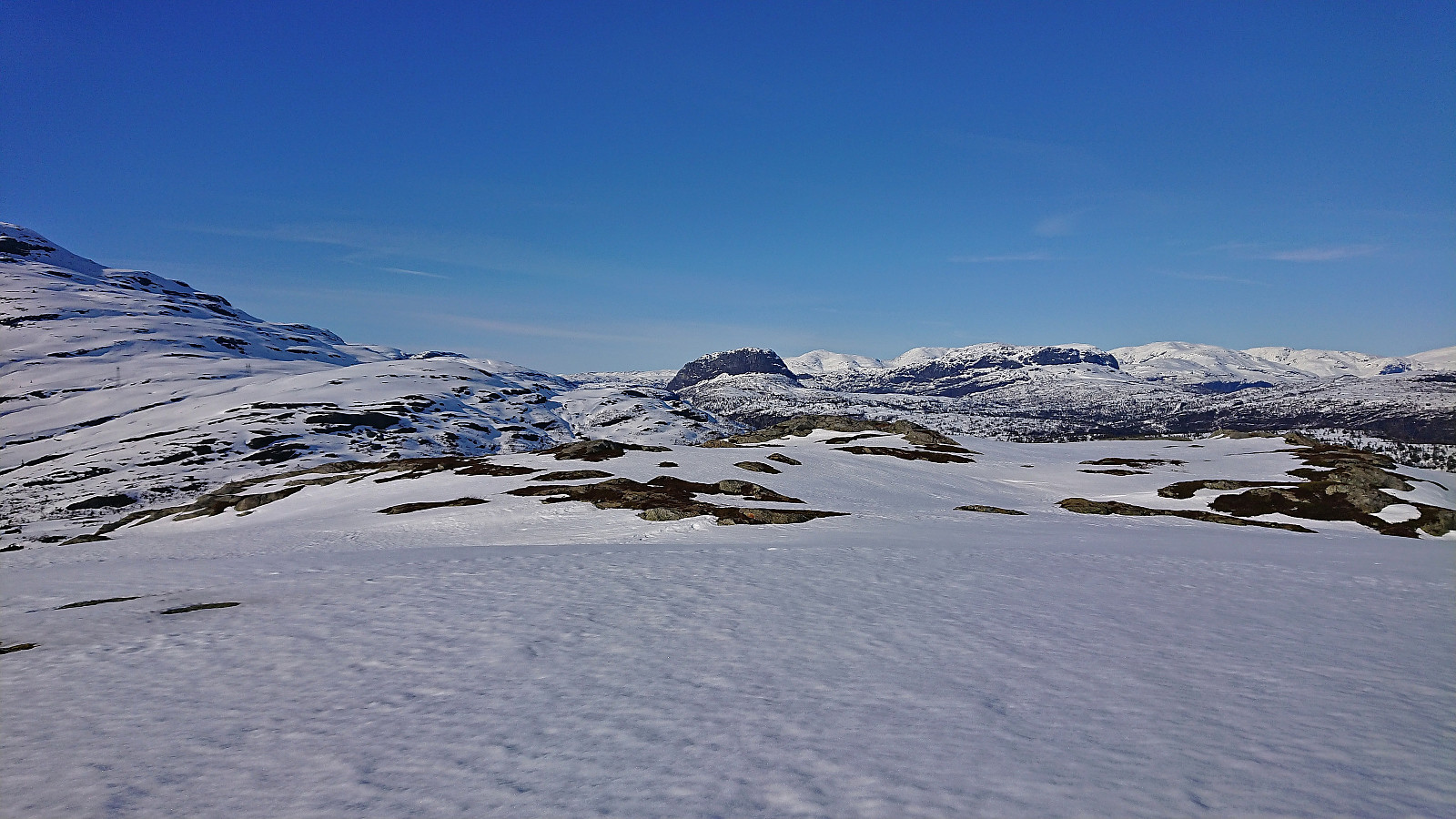
At first the terrain was a bit difficult to navigate due to the many trees, but it did not take long before the terrain opened up and we could spot the Gråfjellet summit in the distance. Our progress was however greatly reduced by the increasing amounts of snow, at times we were sinking down to just below our knees. There were also a couple of steeper sections that required a bit of light scrambling, at least under the current slippery conditions.
We soon came to the conclusion that getting to the summit and returning in time for the planned bus to Norheimsund at 17:58 would most likely not be possible. We therefore decided to instead go for plan B and take the later bus back to Voss at 19:46. While this involved waiting almost 1.5 hours at Voss (for the train back to Bergen), it at least meant that we could enjoy the hike and the great weather and not have to rush.
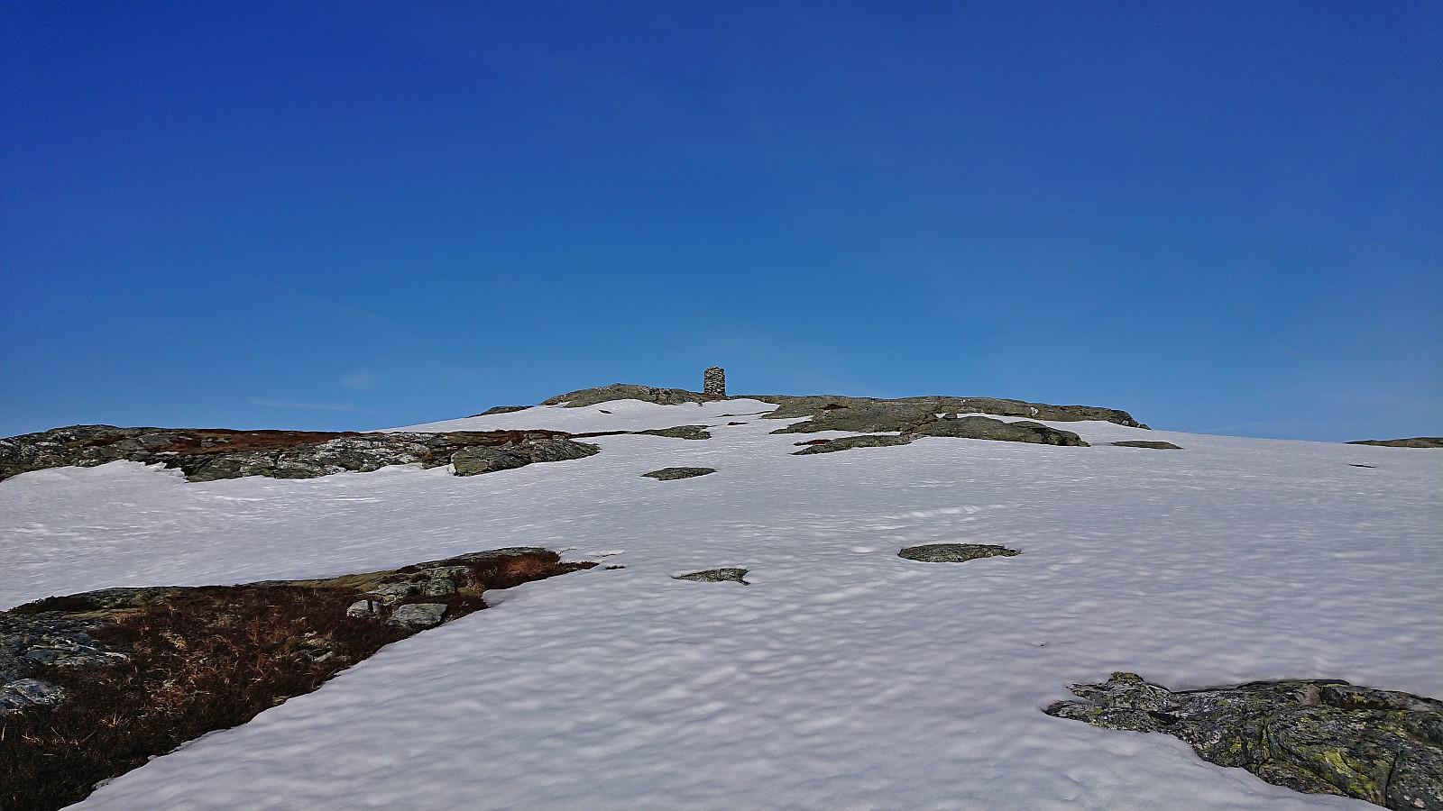
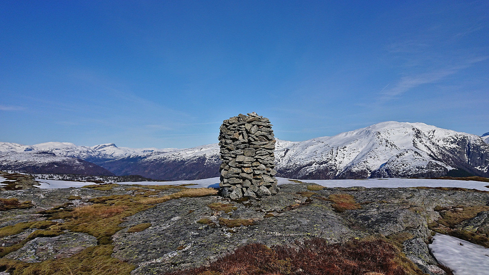
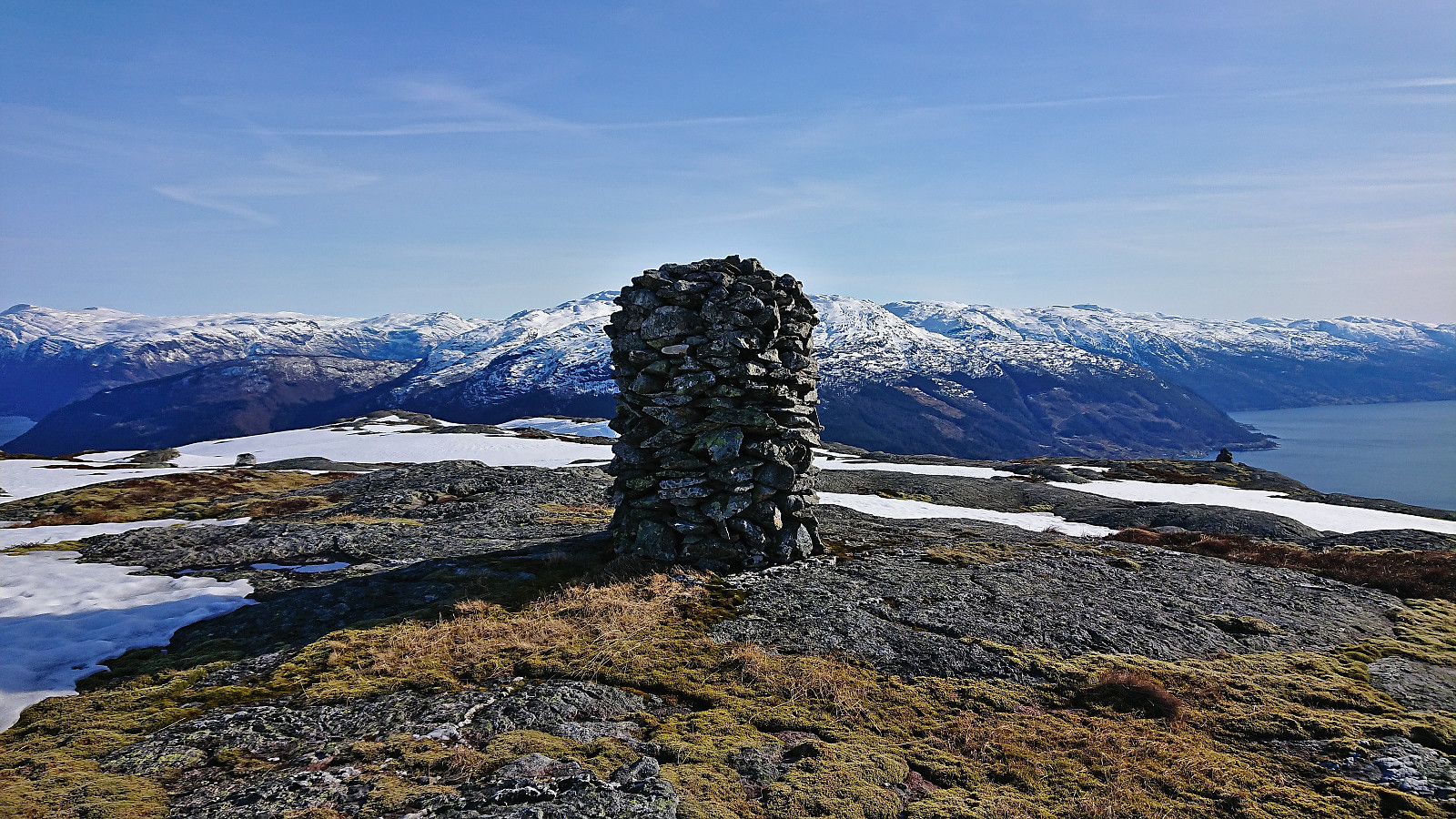
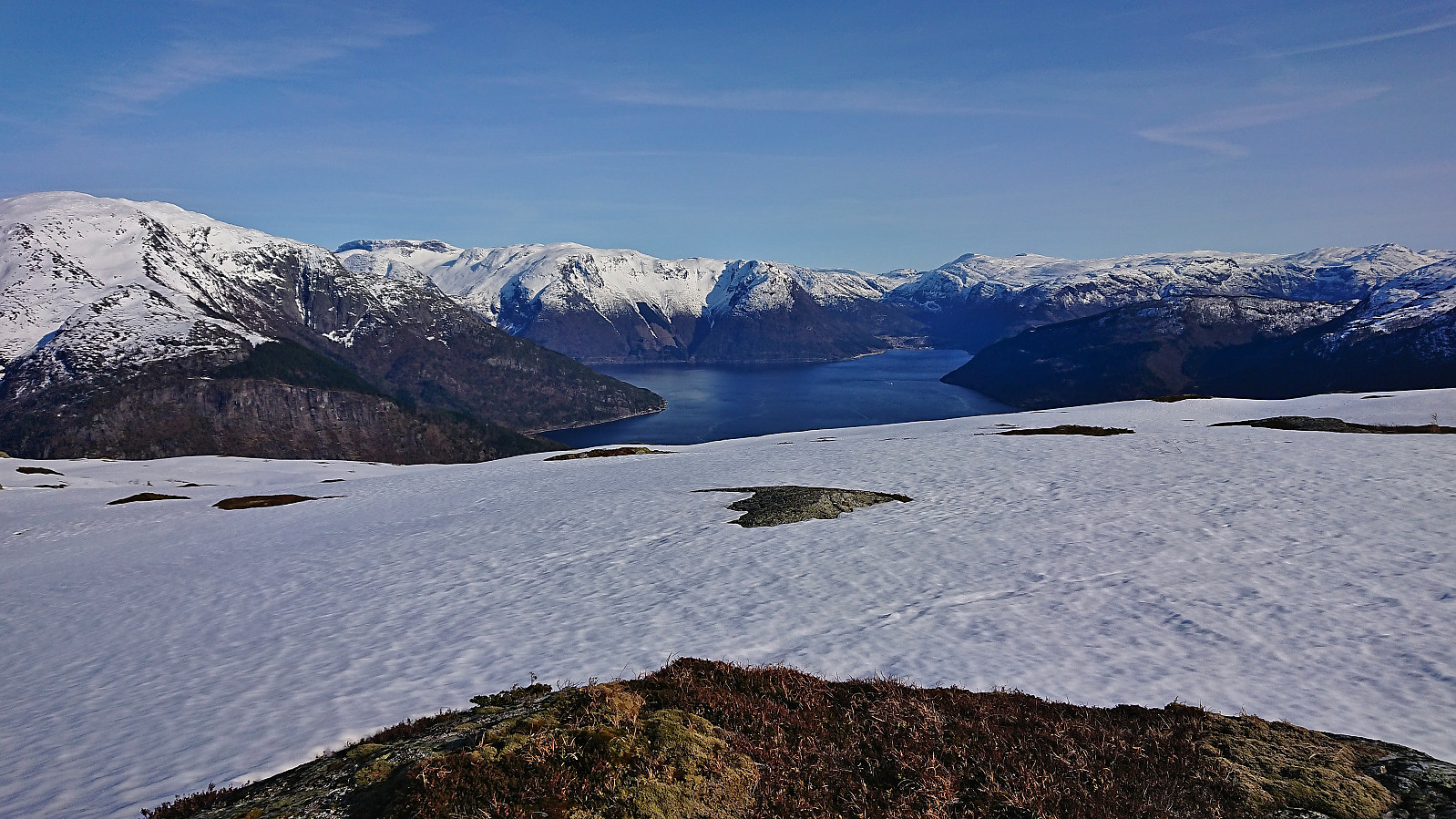
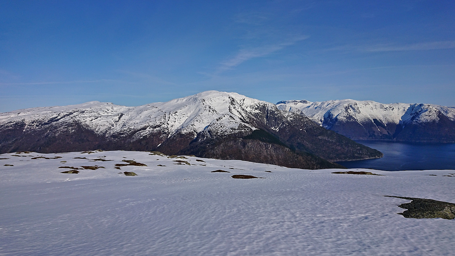
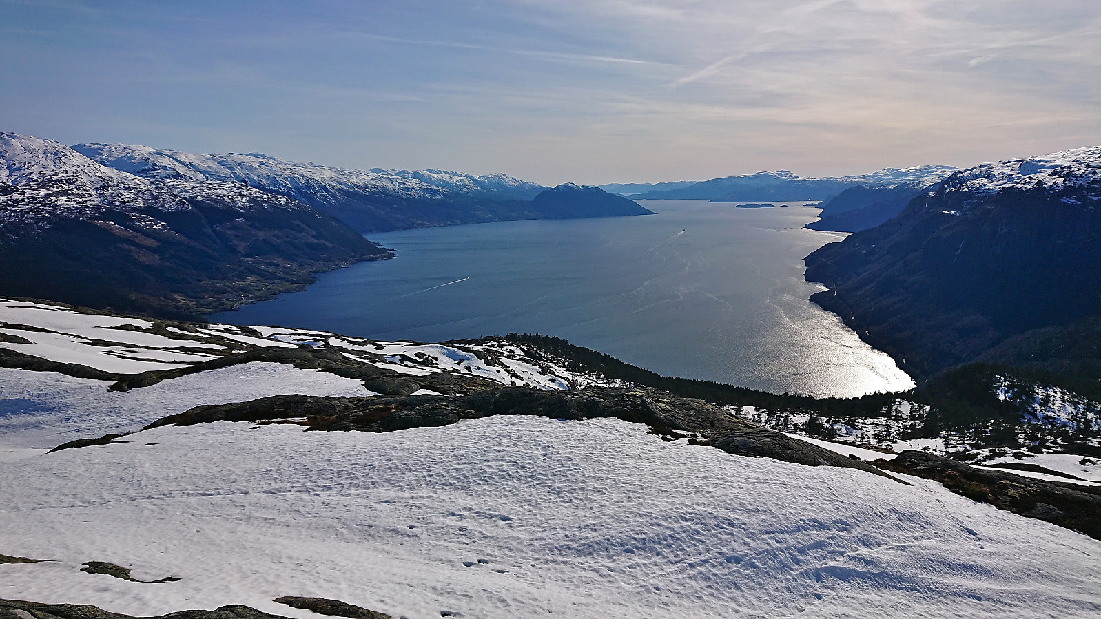
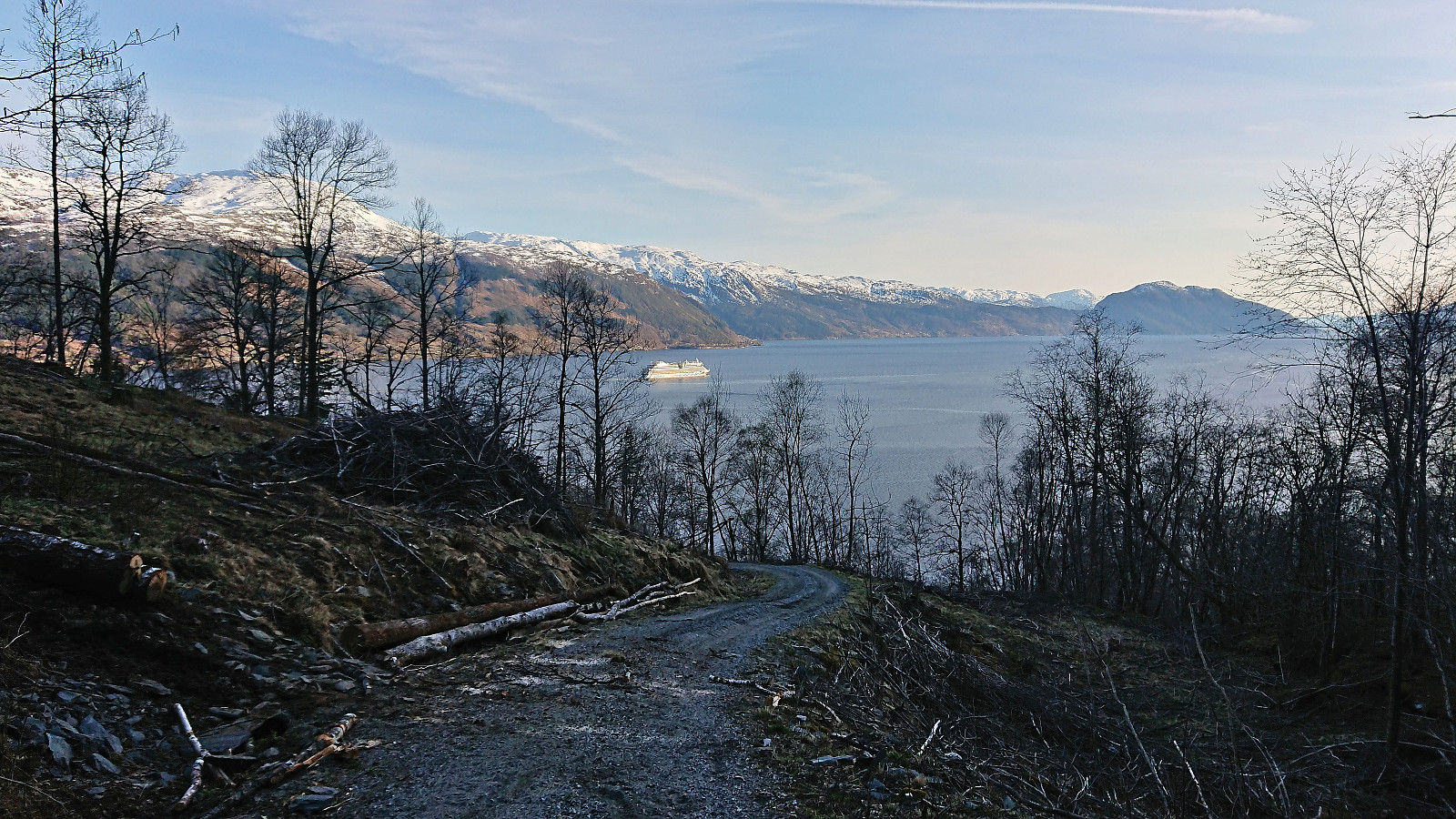
Leaving our backpacks behind, we completed the rest of the ascent to the summit, which was reached without any further issues. The summit provided excellent views in all directions. After a short break, we pretty much followed our own footprints back down to Fossdalsvegen which we then proceeded to follow to the paved road and the bus stop at Lussand, getting there less than 15 minutes before the bus arrived to take us back to Voss.
To conclude, while the hike took longer than planned it was still very nice and provided some spectacular views along the way.

| Startzeitpunkt | 18.04.2023 15:07 (UTC+01:00 SZ) |
| Endzeitpunkt | 18.04.2023 19:33 (UTC+01:00 SZ) |
| Gesamtzeit | 4h 25min |
| Zeit in Bewegung | 3h 19min |
| Pausenzeit | 1h 06min |
| Gesamtschnitt | 2,1km/h |
| Bewegungsschnitt | 2,8km/h |
| Entfernung | 9,3km |
| Höhenmeter | 790m |

Benutzerkommentare