Lilandshaugen (18.02.2023)

| Startsted | Bergen Lufthavn, Flesland (50moh) |
|---|---|
| Sluttsted | Kokstadflaten (49moh) |
| Turtype | Fottur |
| Turlengde | 0t 39min |
| Distanse | 2,6km |
| Høydemeter | 64m |
| GPS |
|
| Bestigninger | Lilandshaugen (95moh) | 18.02.2023 |
|---|---|---|
| Andre besøkte PBE'er | Bergen Lufthavn, Flesland (50moh) | 18.02.2023 |
Lilandshaugen
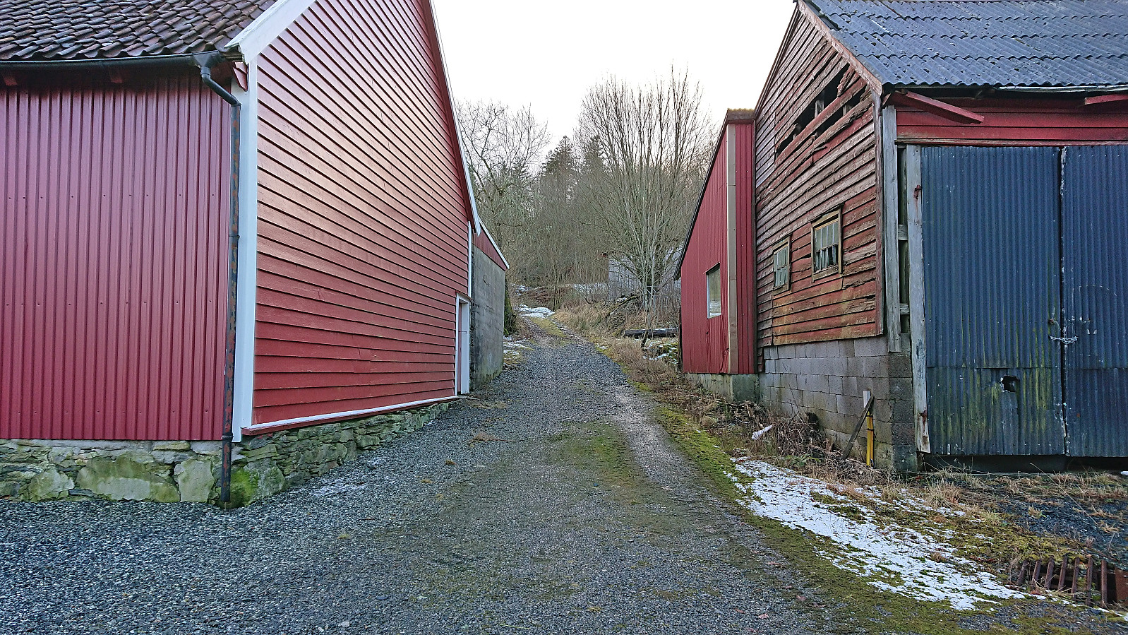
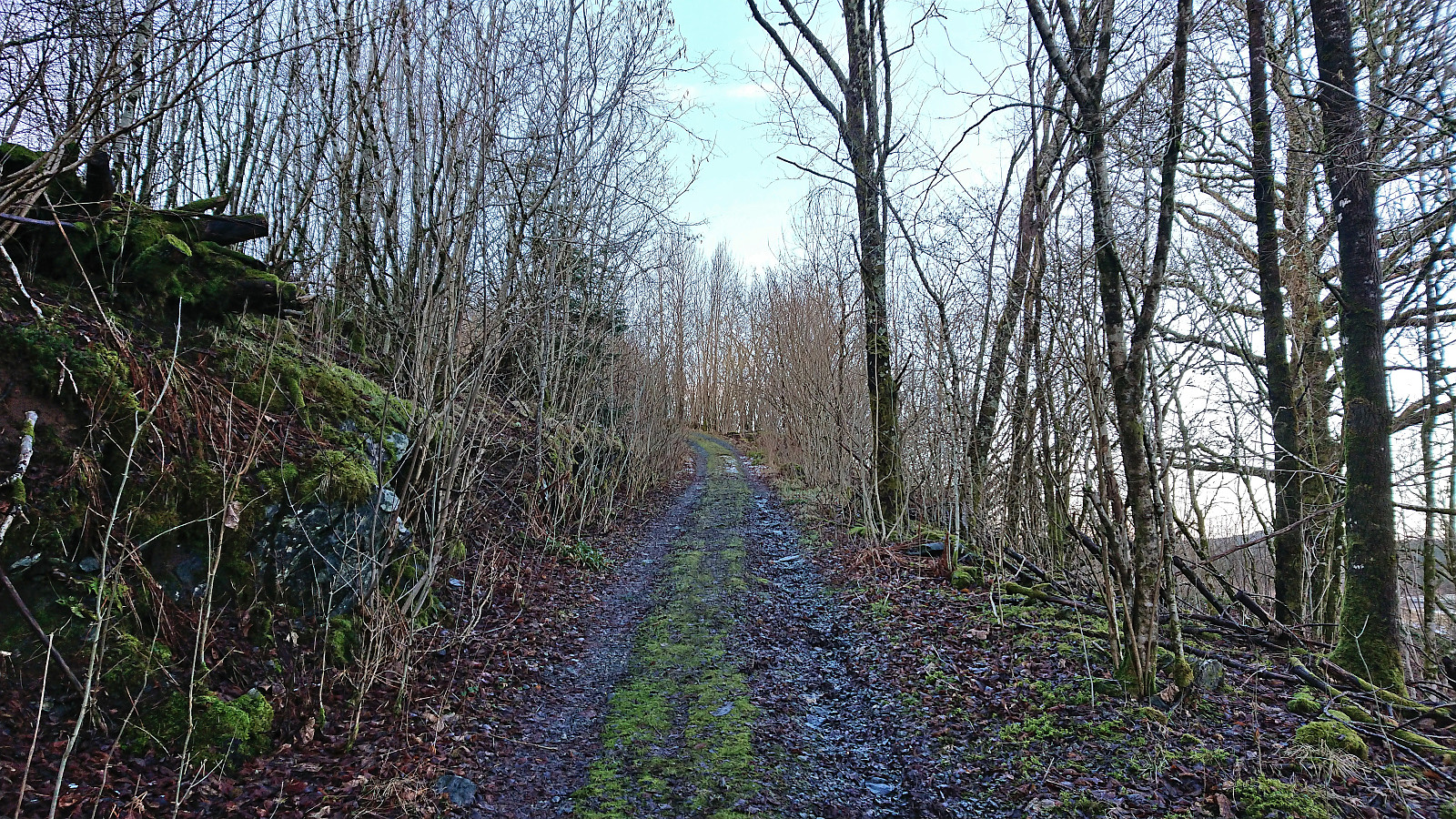
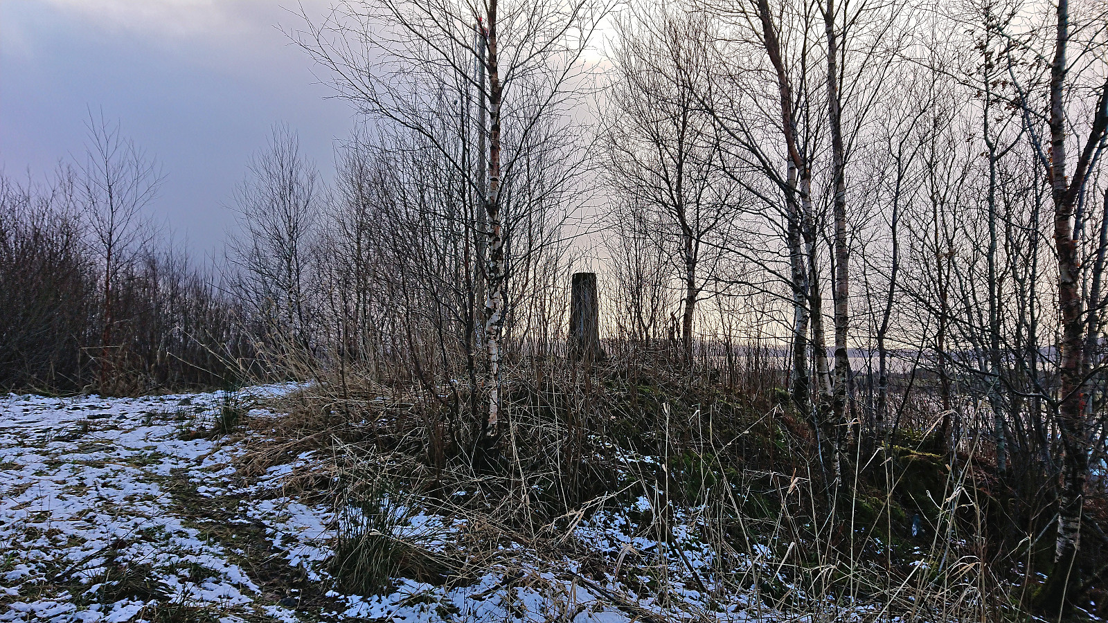
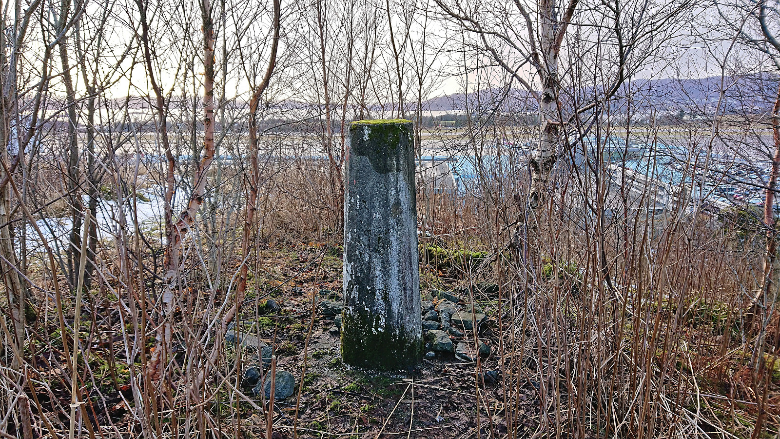
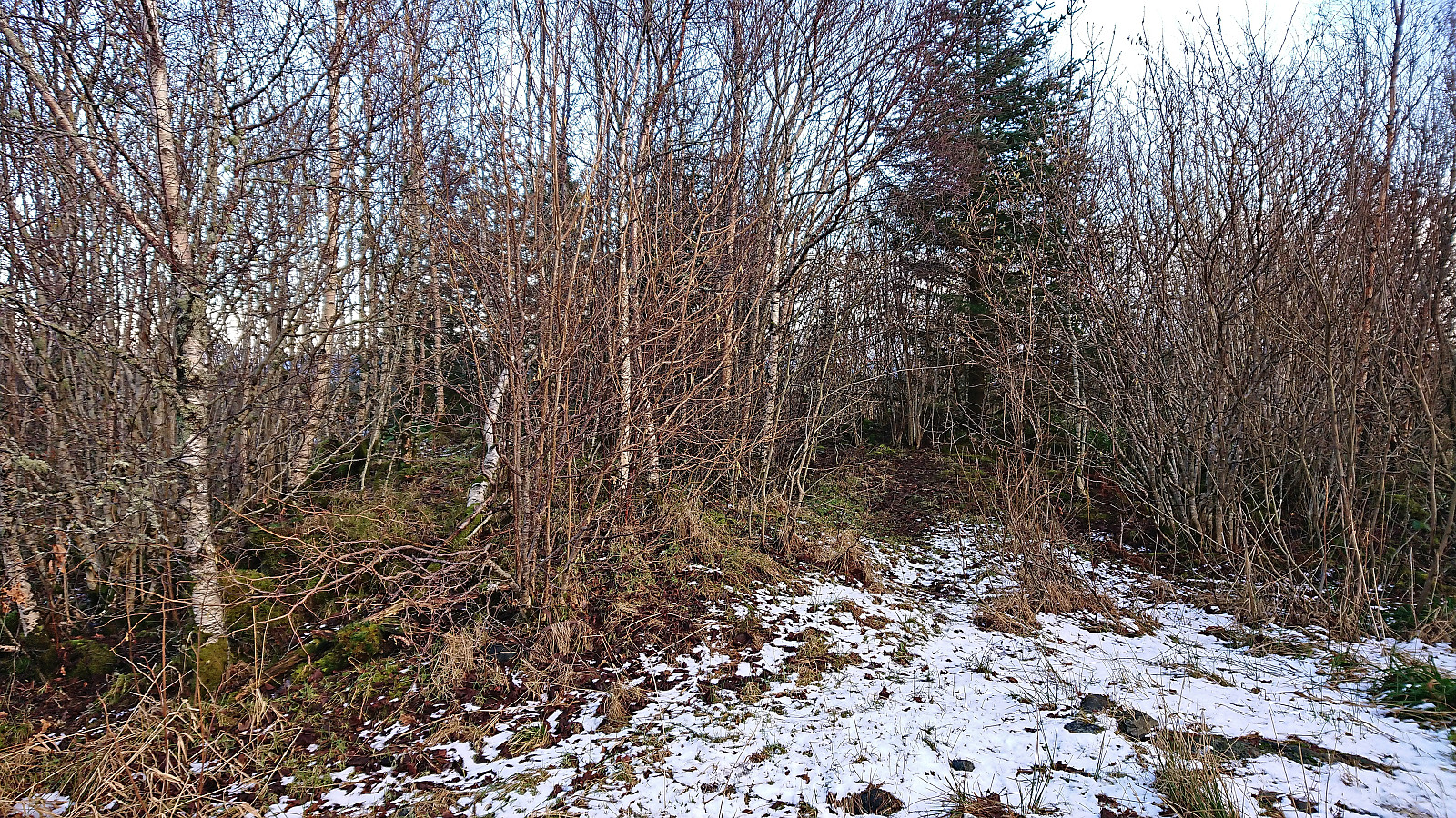
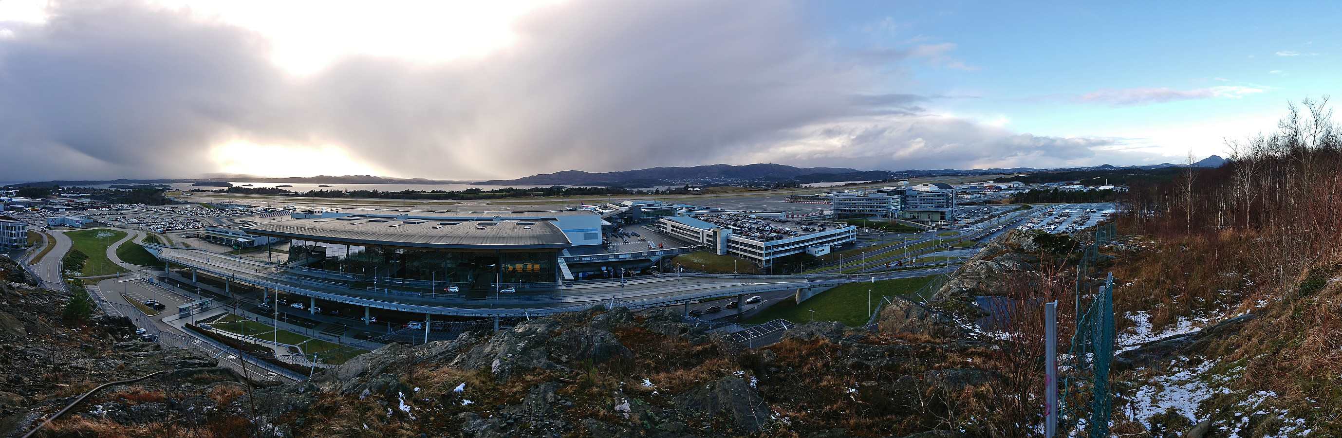
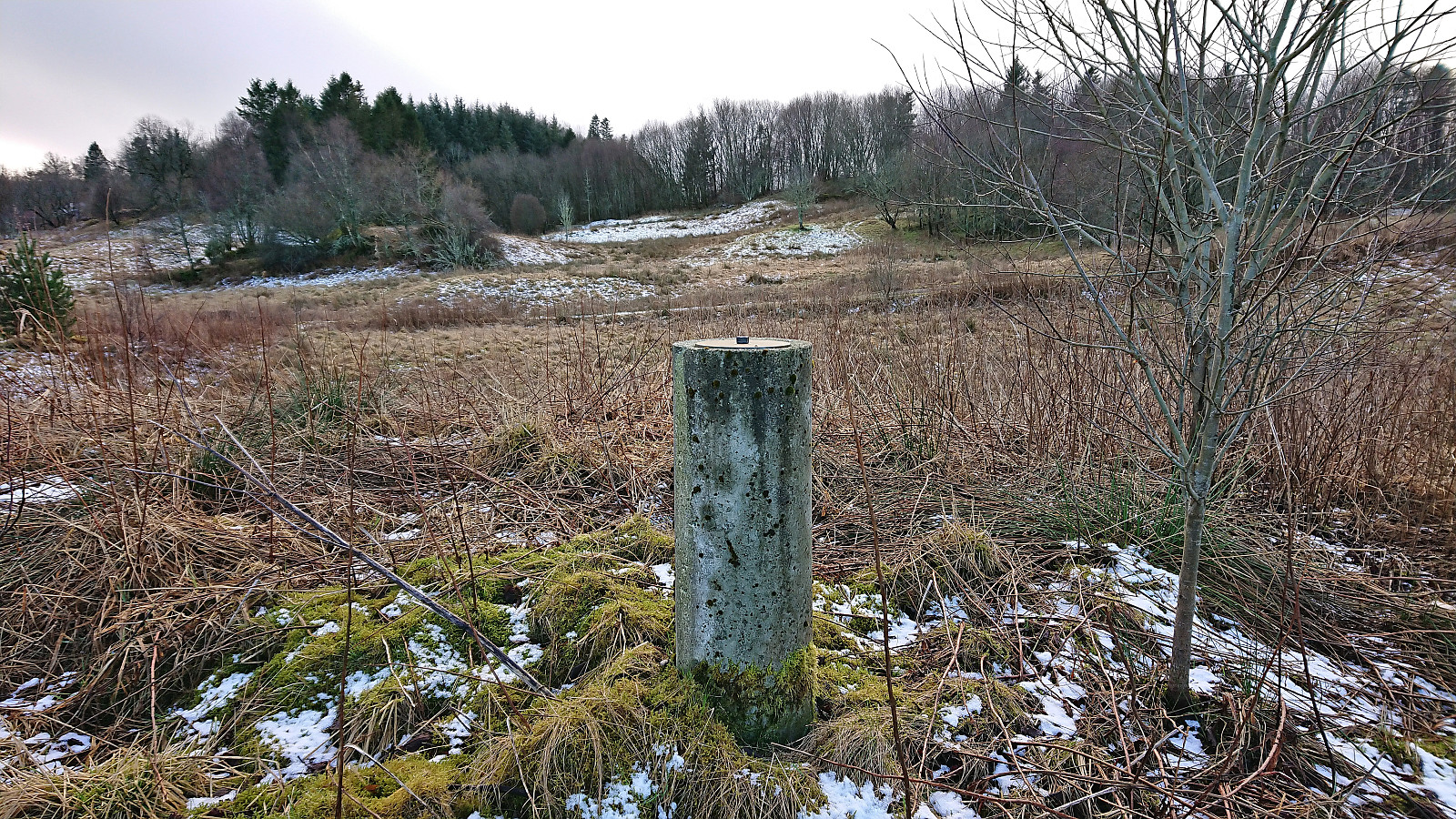
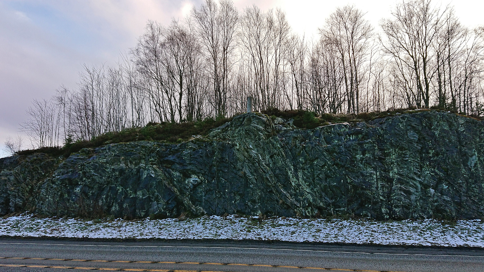
My initial plan for the Saturday afternoon had been to travel to Eikelandsosen for a visit of Vetlavardhytto, but due to the recently "improved" bus connection between Bergen and Gjermundshamn (where the earlier direct bus line had been replaced by a three (or thirty-three) minutes transfer at Osøyro), I ended up missing the bus from Osøyro to Eikelandsosen by less than two minutes and quickly had to come up with a plan B. Two minutes later I was therefore on the first bus back to Lagunen. Here I switched to the tram to Flesland and after this long detour I was finally ready for the short walk to the top of Lilandshaugen. Interestingly, Lilandshaugen has to be the Bergen summit with the largest sign, i.e. the infamous "BERGEN?" sign welcoming visitors as they exit the main terminal at Flesland. The summit of Lilandshaugen provided an excellent overview of the airport and could be easily reached via a gravel road from the east. I descended the same way before following the gravel road north to the main road, which I then followed east to the nearest tram stop (discovering two additional trig markers on the south side of the road).

| Starttidspunkt | 18.02.2023 15:16 (UTC+01:00) |
| Sluttidspunkt | 18.02.2023 15:55 (UTC+01:00) |
| Totaltid | 0t 39min |
| Bevegelsestid | 0t 39min |
| Pausetid | 0t 0min |
| Snittfart totalt | 3,9km/t |
| Snittfart bevegelsestid | 3,9km/t |
| Distanse | 2,6km |
| Høydemeter | 64m |

Kommentarer