Nordskogfjellet and Golfståvo (12.02.2023)

| Startsted | Sveio gravplass (18moh) |
|---|---|
| Sluttsted | Sveio sentrum (32moh) |
| Turtype | Fjelltur |
| Turlengde | 3t 51min |
| Distanse | 16,8km |
| Høydemeter | 349m |
| GPS |
|
| Bestigninger | Nordskogfjellet (170moh) | 12.02.2023 |
|---|---|---|
| Nordskogfjellet Sør (162moh) | 12.02.2023 | |
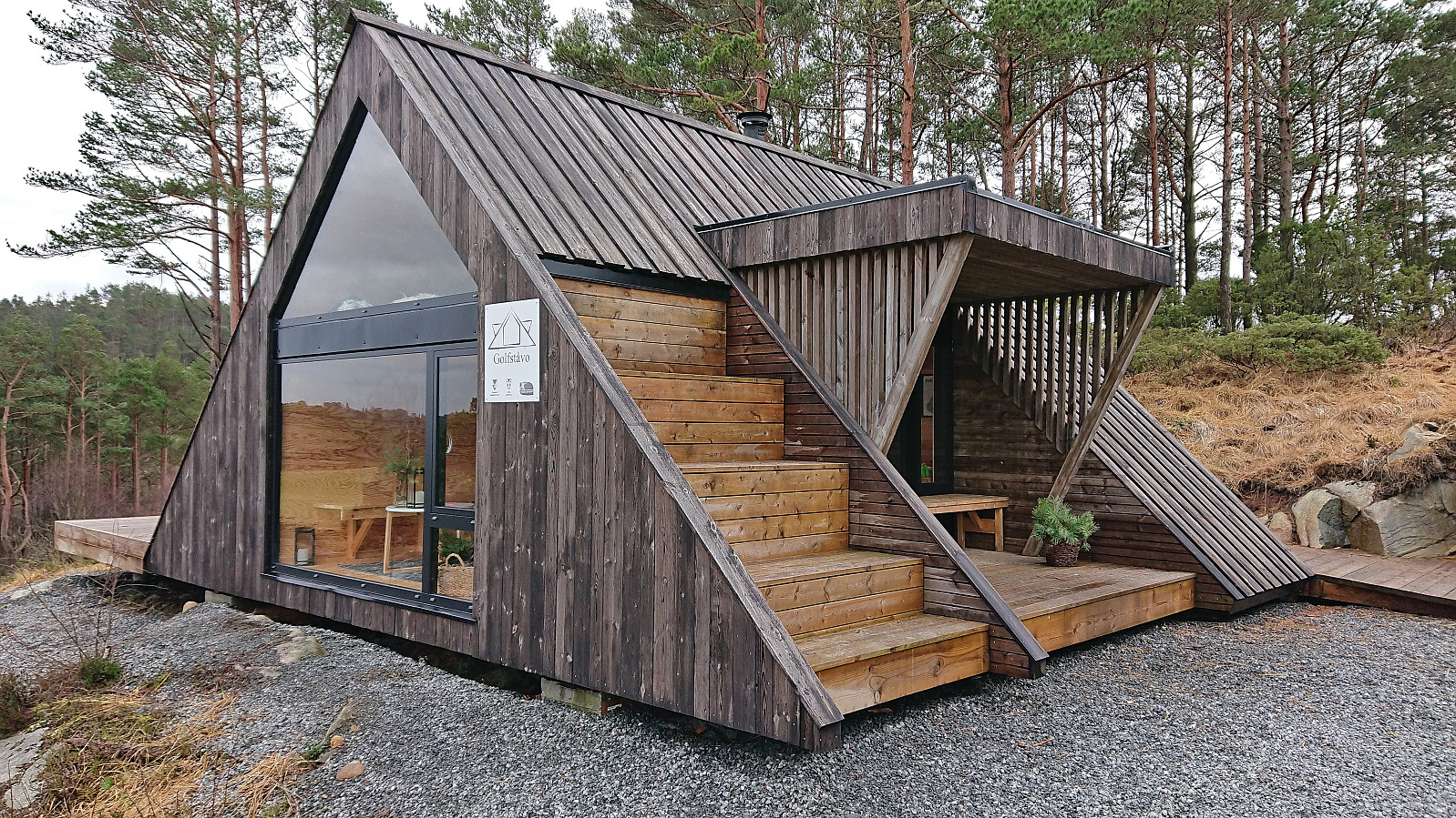
| Andre besøkte PBE'er | Golfståvo (54moh) | 12.02.2023 |
Nordskogfjellet and Golfståvo
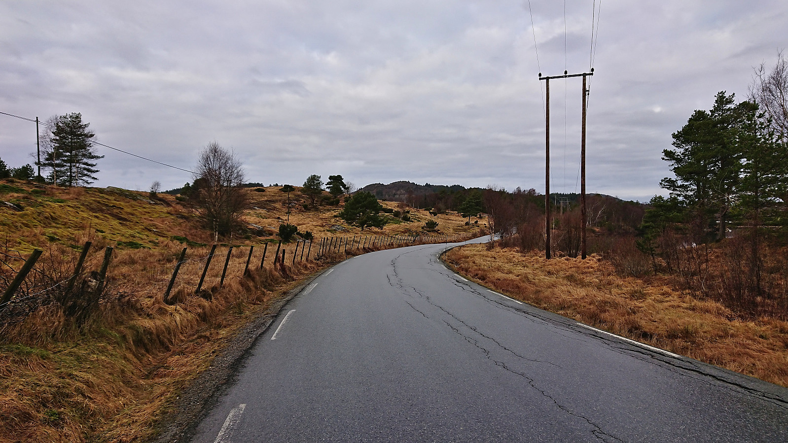
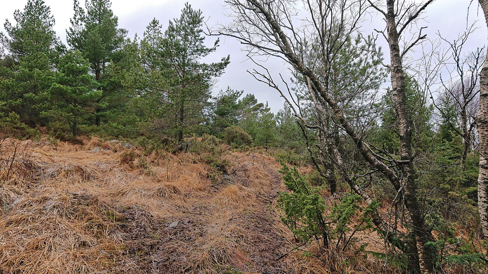
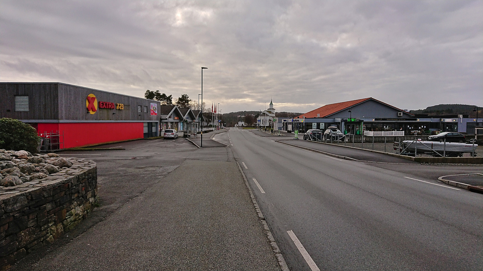
For the second Sunday in a row I returned to Sveio, this time to ascend Nordskogfjellet with an added bonus of also visiting Golfståvo. I started by taking the express bus from Bergen and getting off at the stop "Sveio gravplass". From there I followed the roads north to Nordskog and Skardhaugtjørna where I left the paved road and headed off-trail in the direction of the summit. More traffic than expected for a Sunday morning (or rather mid-day I guess), but even though there were no sidewalks this was generally not an issue.
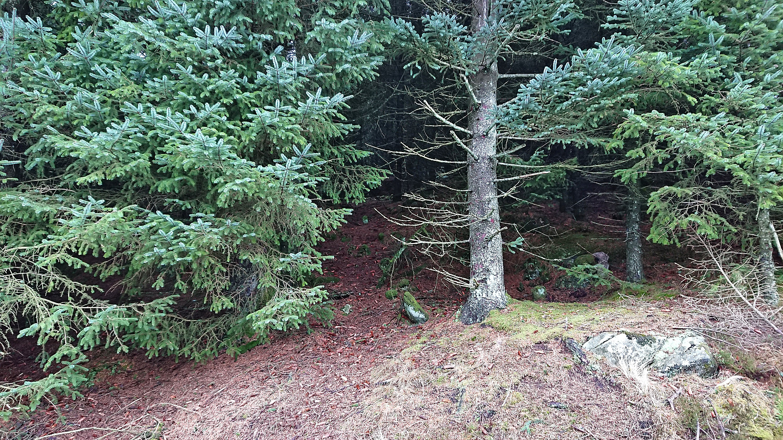
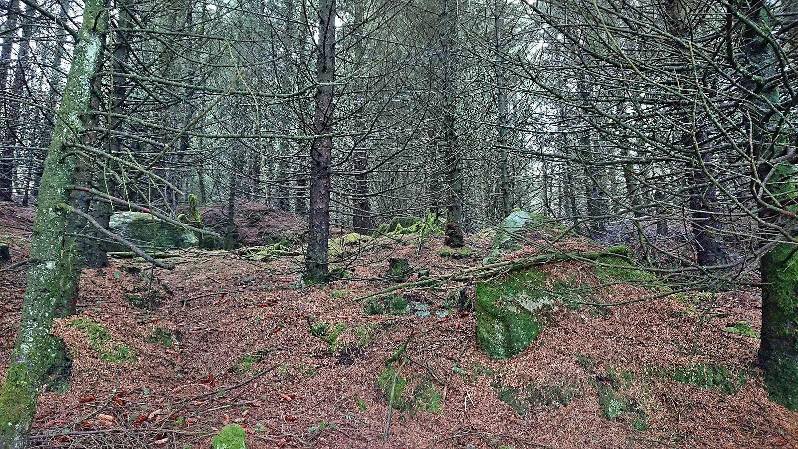
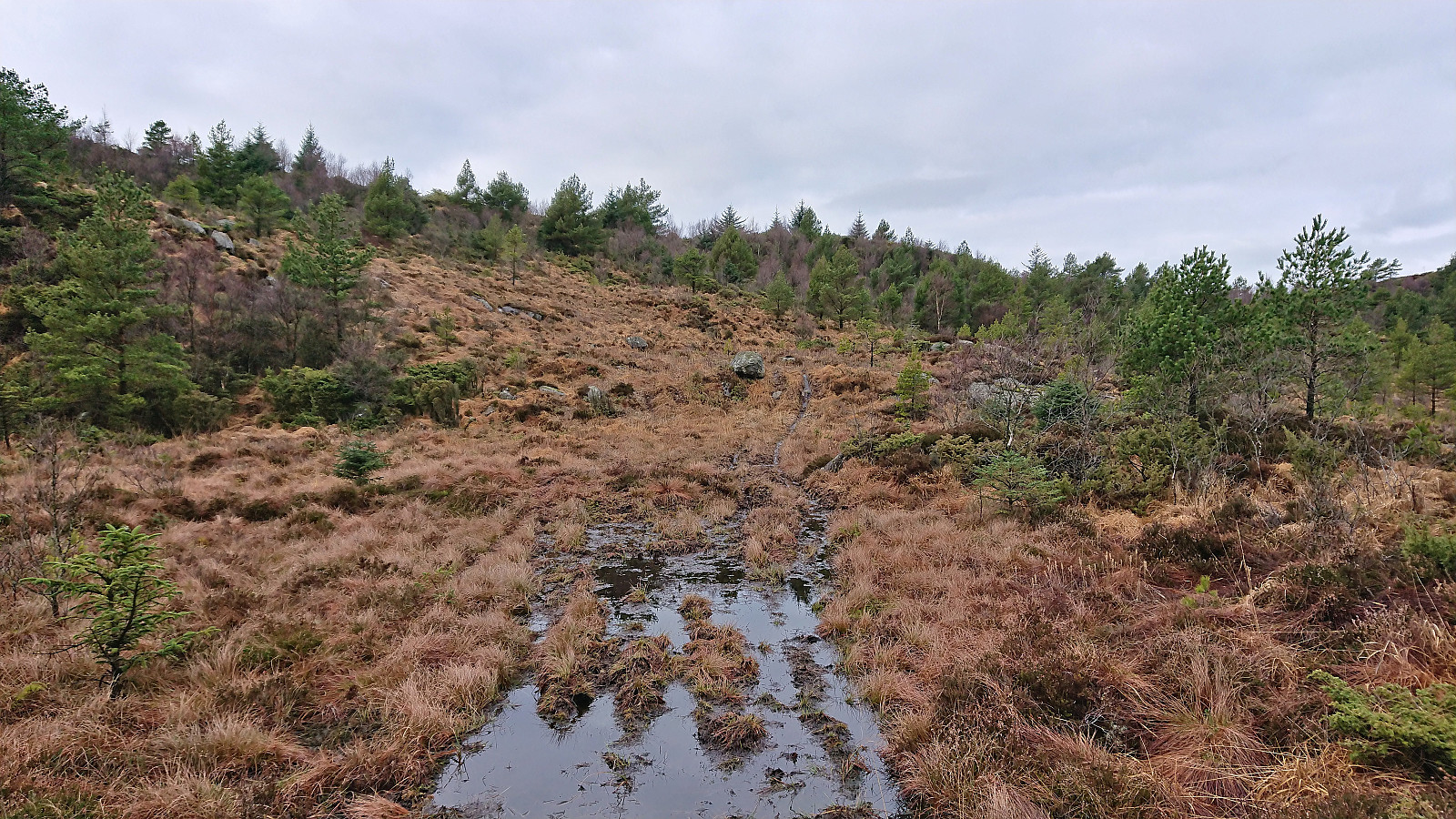
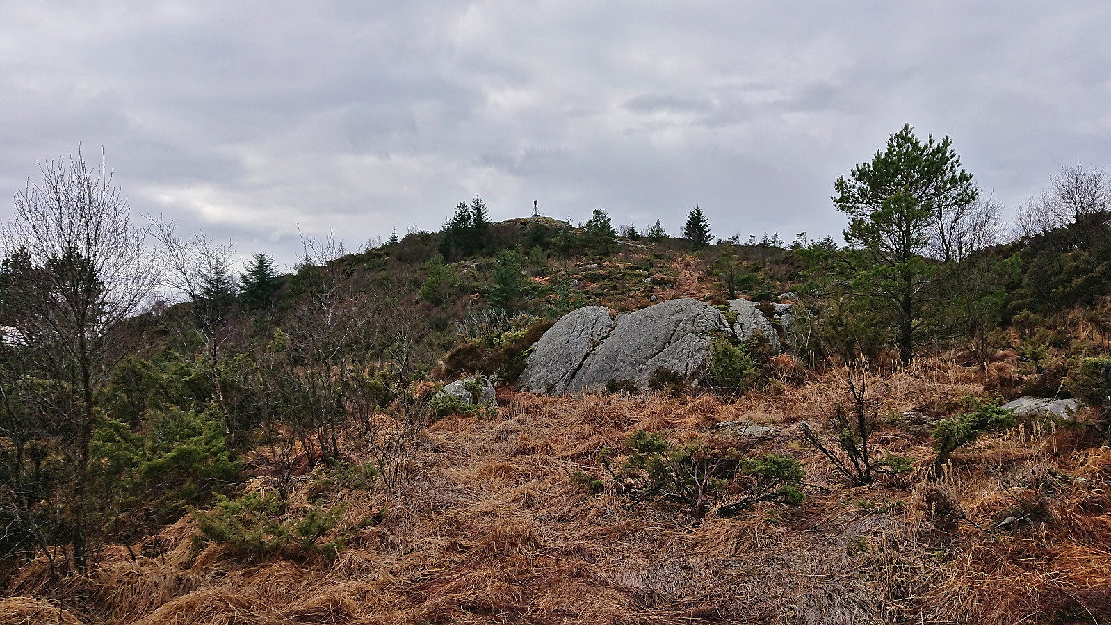
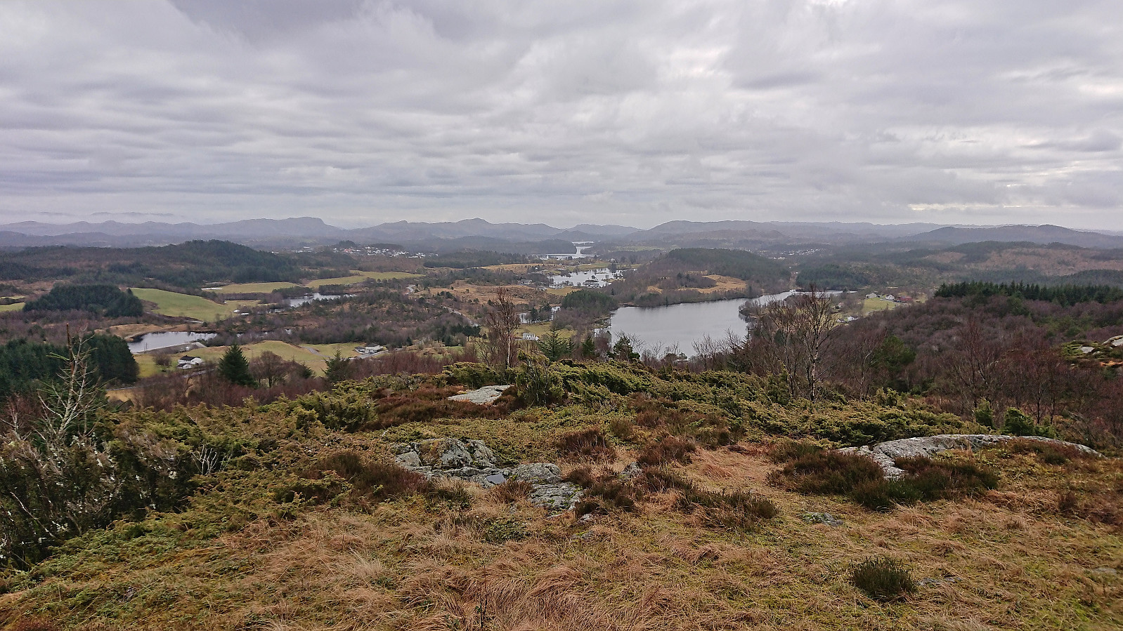
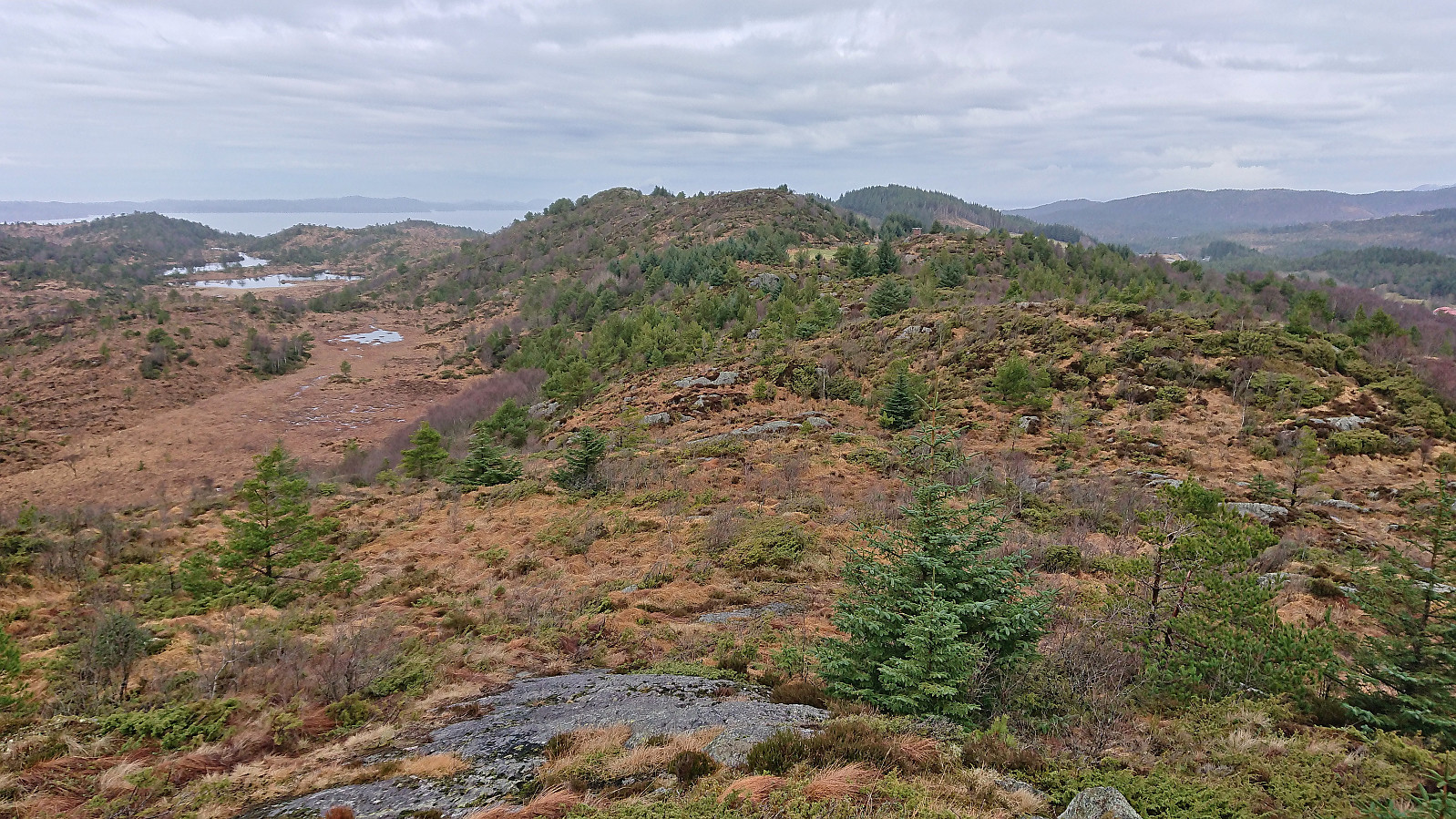
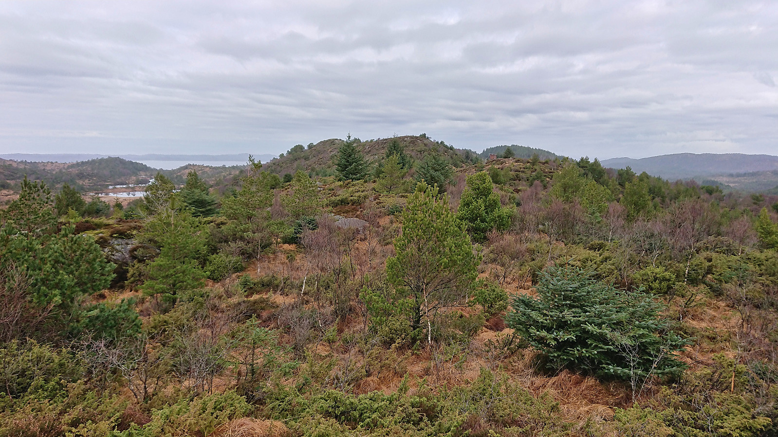
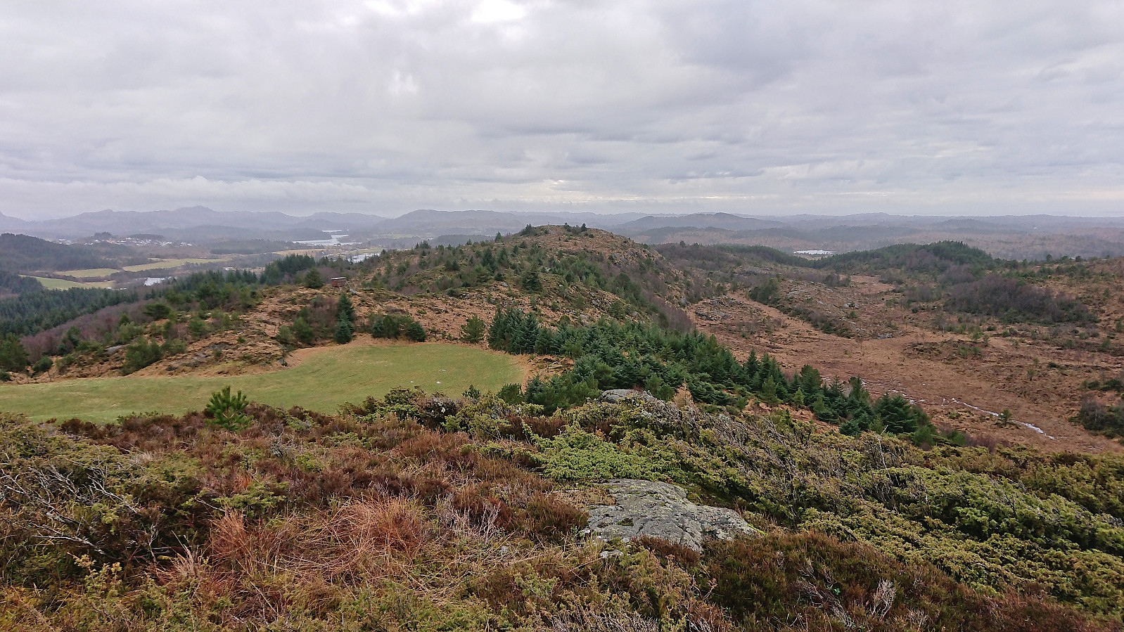
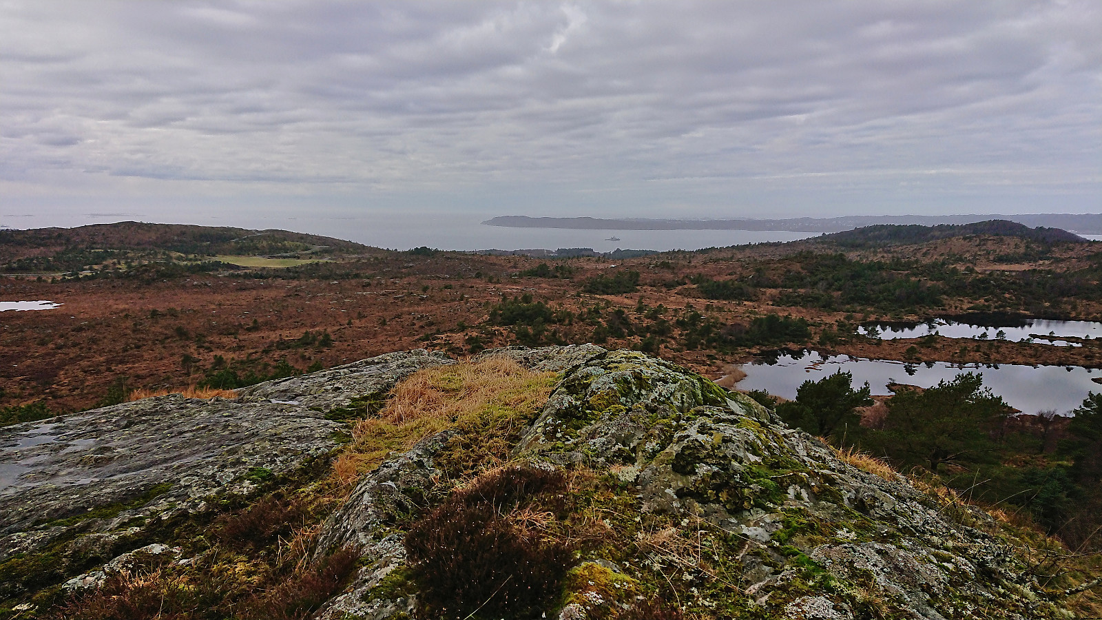
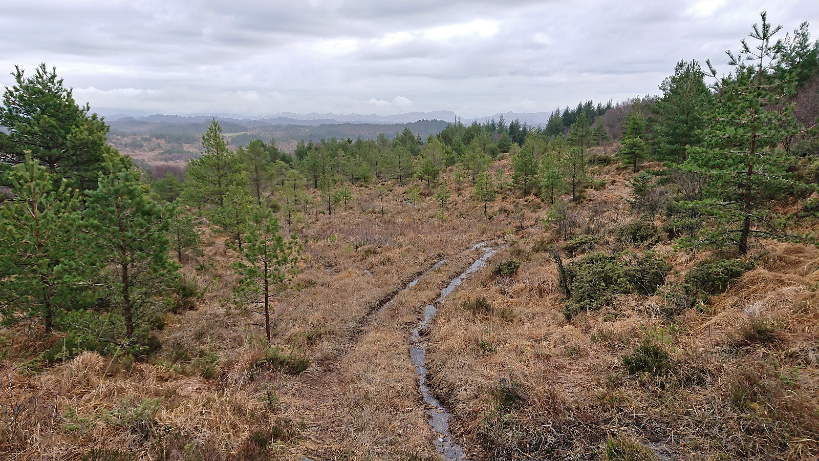
Less than 100m after leaving the road, I came across a rough tractor road that led me up to the trig marker at the unnamed hill around 650m south of the highest point at Nordskogfjellet. Excellent views from this location (now added as its own PB-element). Next, I turned north and made my own way towards the highest point. No trail that I could find, but upon approaching the small hill between the trig marker and the summit, which a small wooden shelter, I shortly reconnected with the rough tractor road.
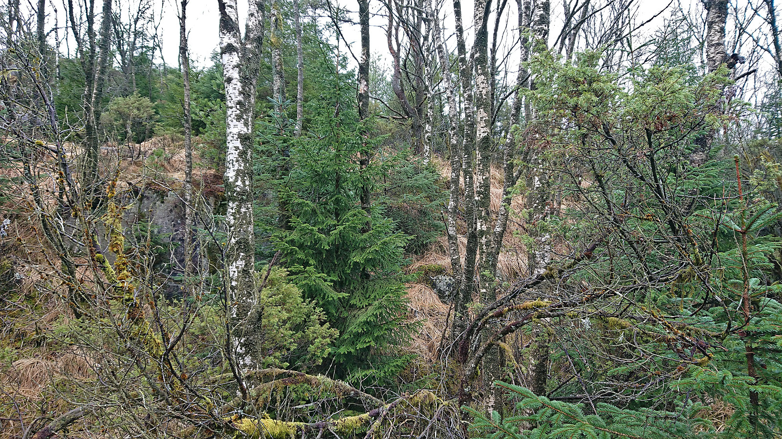
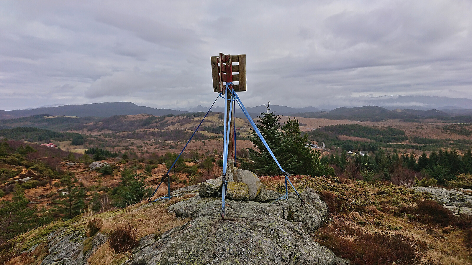
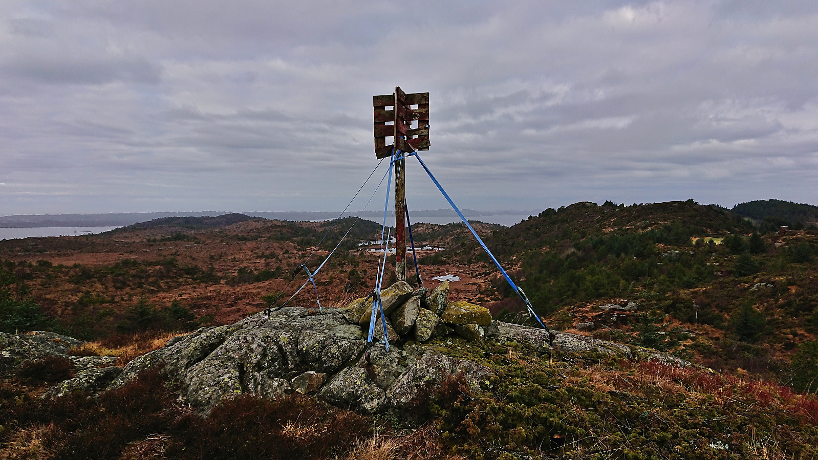
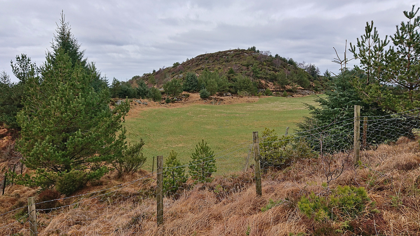
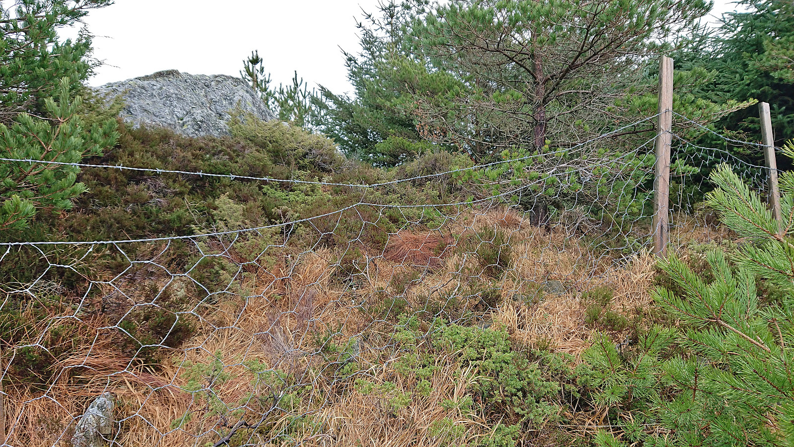
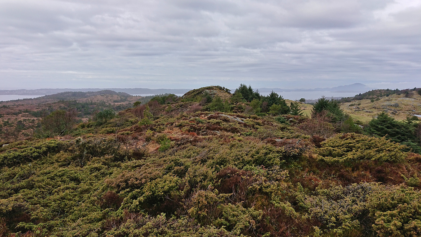
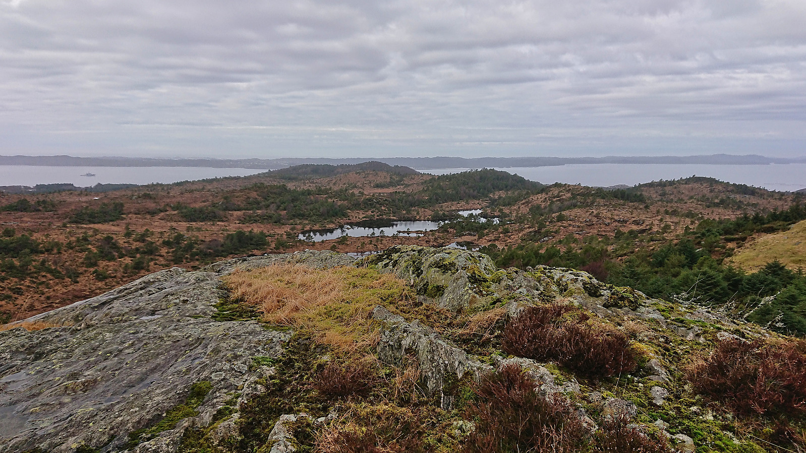
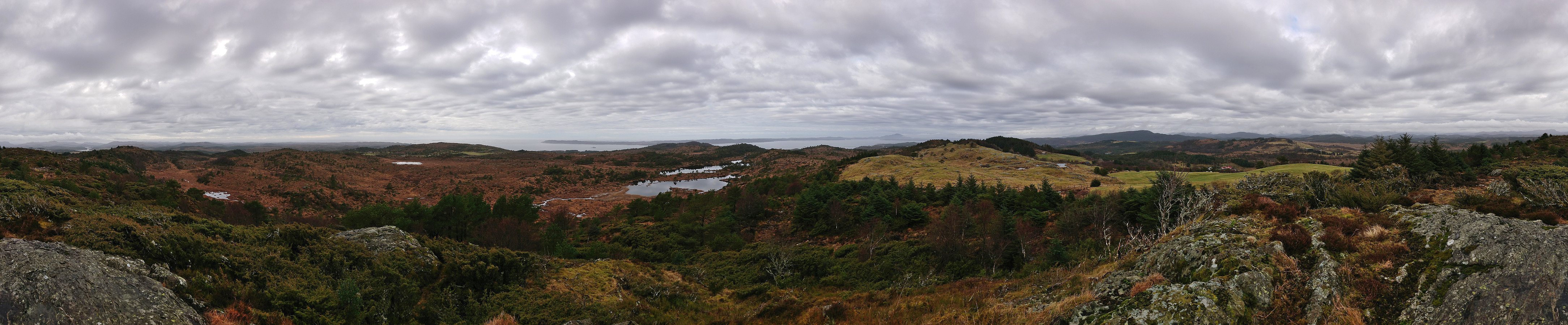
The summit was now only 350m away, but between it and me there were not just one, but two fences topped with barbed wire. I continued north along the fences before finding a section where the fence closest to me was slightly lower and could be safely crossed. At this point the two fences had thankfully parted ways and the summit could be easily reached. I first visited the hill to the south and could quickly conclude that it was indeed lower, before continuing to the real summit 160m further north. Excellent panoramic views from this summit as well, although the gray weather did not do it any favors.
I descended along more or less the same route, although skipping a revisit of the trig marker, and could now more or less follow the rough tractor road from the small hill south of the summit, until again making my off-trail shortcut back down to the paved road. (Note that from the map it seems likely that the tractor road connects with the tractor road starting from the houses at Nordskog, hence, if not scared of a tiny bit of minor trespassing, it may be possible to start the ascent from there as well.)
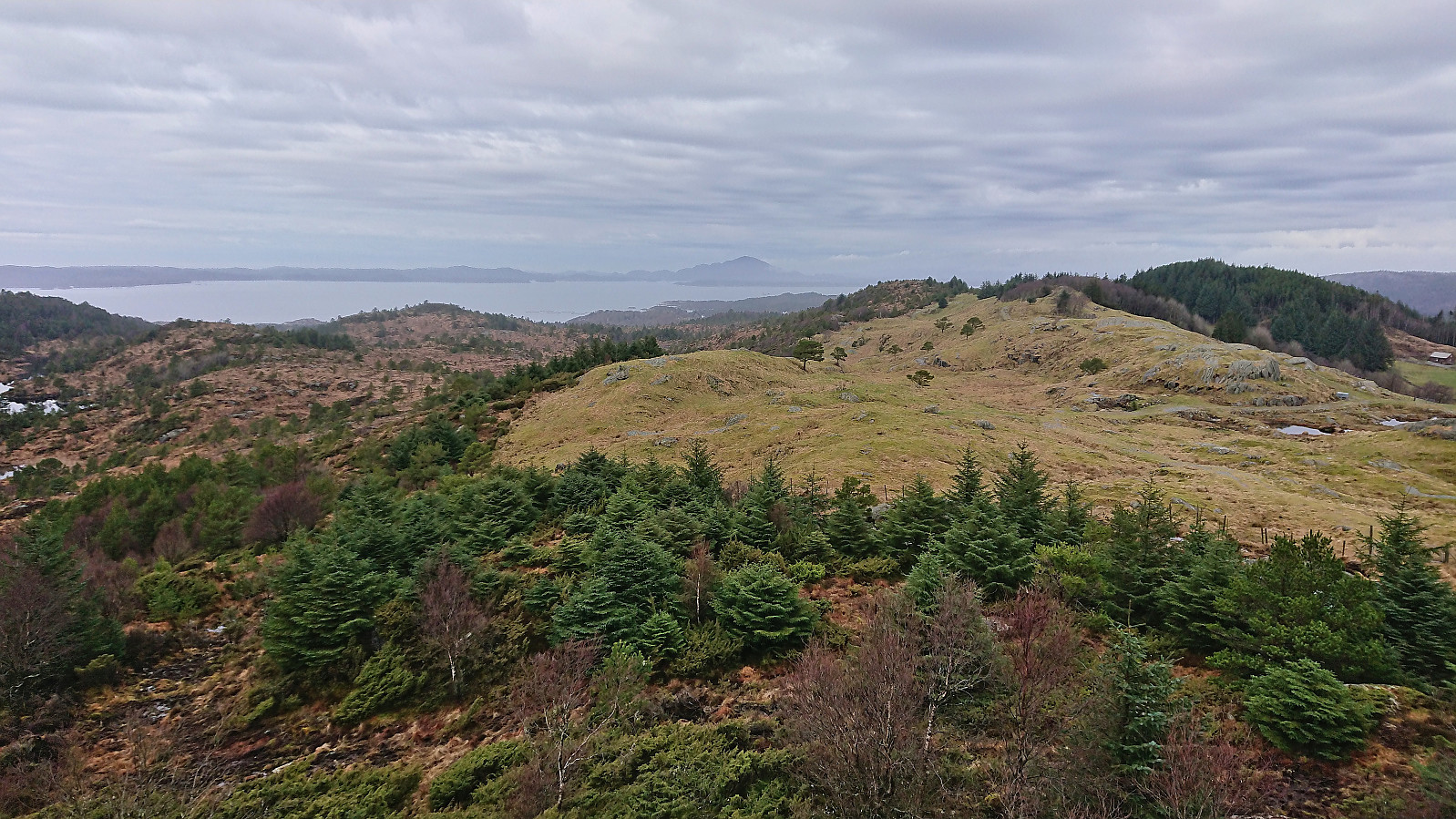
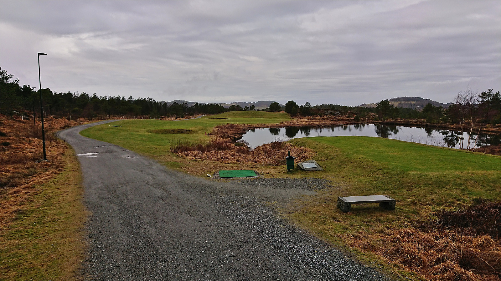
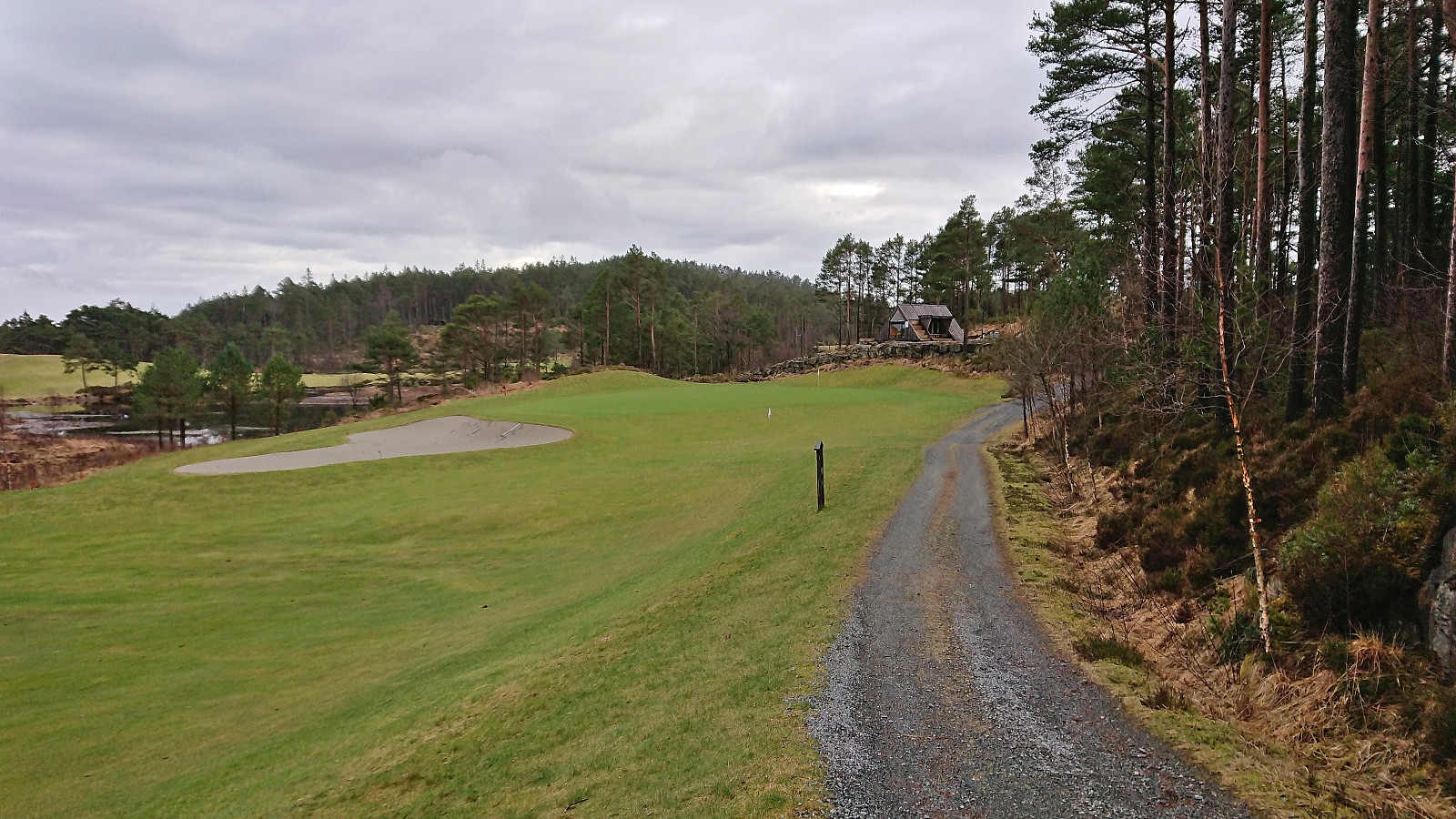
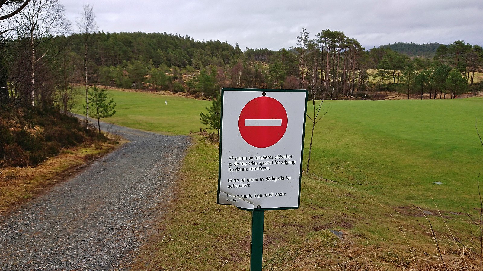
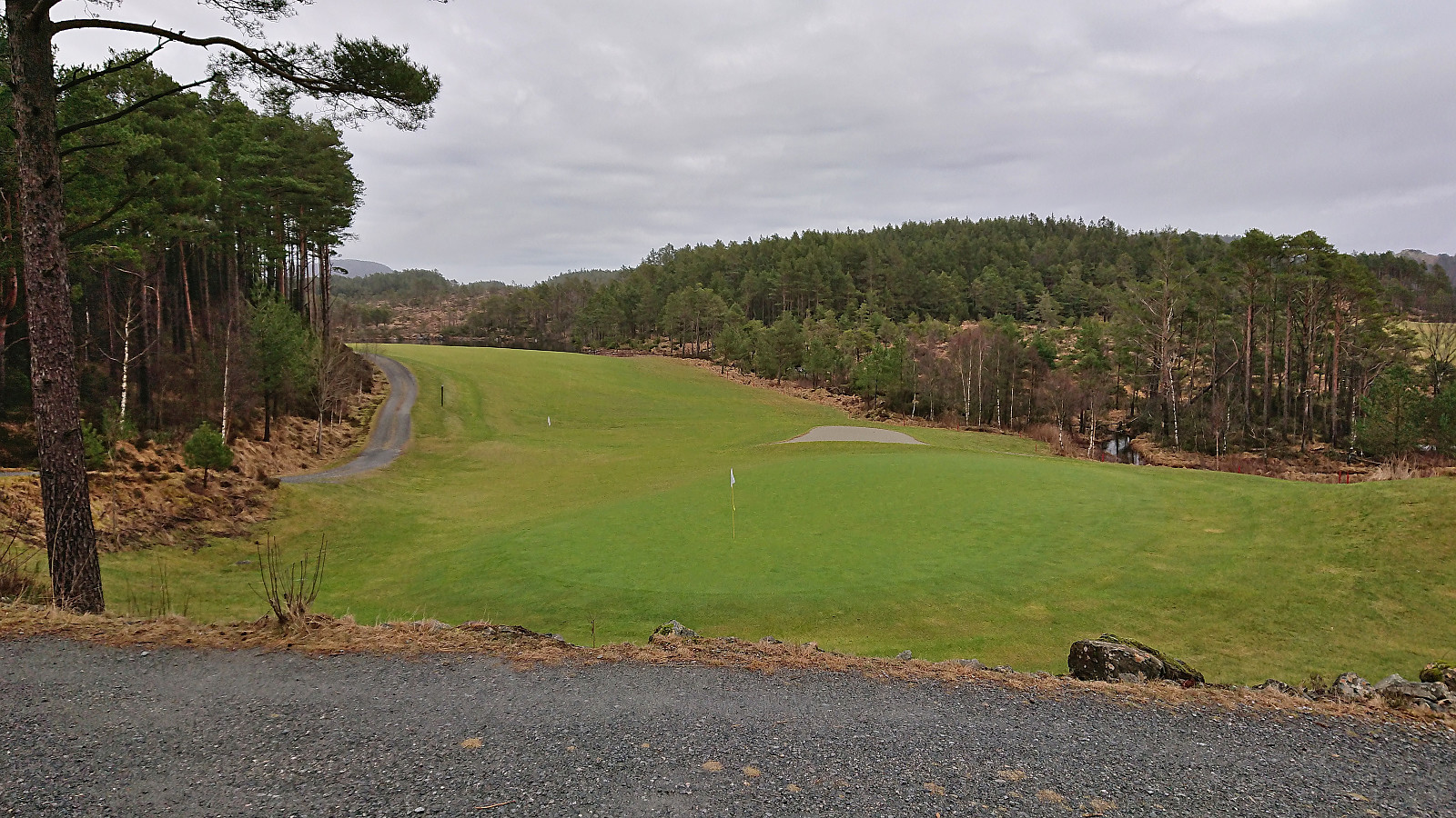
Next, I returned to Sveio and continued to Sveio Golfpark for a visit of Golfståvo. I basically had the whole park to myself and only saw two golfers, both leaving the park just as I entered. I therefore took the time to walk all the way to the northern end of the park before finally turning south to Golfståvo. (Note that for safety reasons it is only allowed to walk this final section starting from the north). After a short break outside Golfståvo, where I had the only short rain shower of the entire hike, I completed my roundtrip of Sveio Golfpark and returned to the center of Sveio for the bus back to Bergen.
To conclude, even though this trip largely consisted of walking along either paved or gravel roads, it was still quite enjoyable and there were some nice views along the way. Ascending Nordskogfjellet was also relatively easy, although it is most likely even easier to ascend via the road from Grimstveit, and both the trig marker and the summit itself provides excellent views.
| Starttidspunkt | 12.02.2023 12:18 (UTC+01:00) |
| Sluttidspunkt | 12.02.2023 16:10 (UTC+01:00) |
| Totaltid | 3t 51min |
| Bevegelsestid | 3t 36min |
| Pausetid | 0t 15min |
| Snittfart totalt | 4,4km/t |
| Snittfart bevegelsestid | 4,7km/t |
| Distanse | 16,8km |
| Høydemeter | 349m |

Kommentarer