Ramsfjellet, Ryvarden, Flokehyttene and Rossafjellet (05.02.2023)

| Startsted | Tittelsnesvegen v/Lindøy nord (33moh) |
|---|---|
| Sluttsted | Sveio gravplass (18moh) |
| Turtype | Fjelltur |
| Turlengde | 4t 45min |
| Distanse | 19,0km |
| Høydemeter | 459m |
| GPS |
|
| Bestigninger | Ramsfjellet (150moh) | 05.02.2023 |
|---|---|---|
| Rossafjellet (105moh) | 05.02.2023 | |
| Andre besøkte PBE'er | Flokehyttene (13moh) | 05.02.2023 |
| Ryvarden (17moh) | 05.02.2023 | |
| Ryvarden p-plass (8moh) | 05.02.2023 |
Ramsfjellet, Ryvarden, Flokehyttene and Rossafjellet
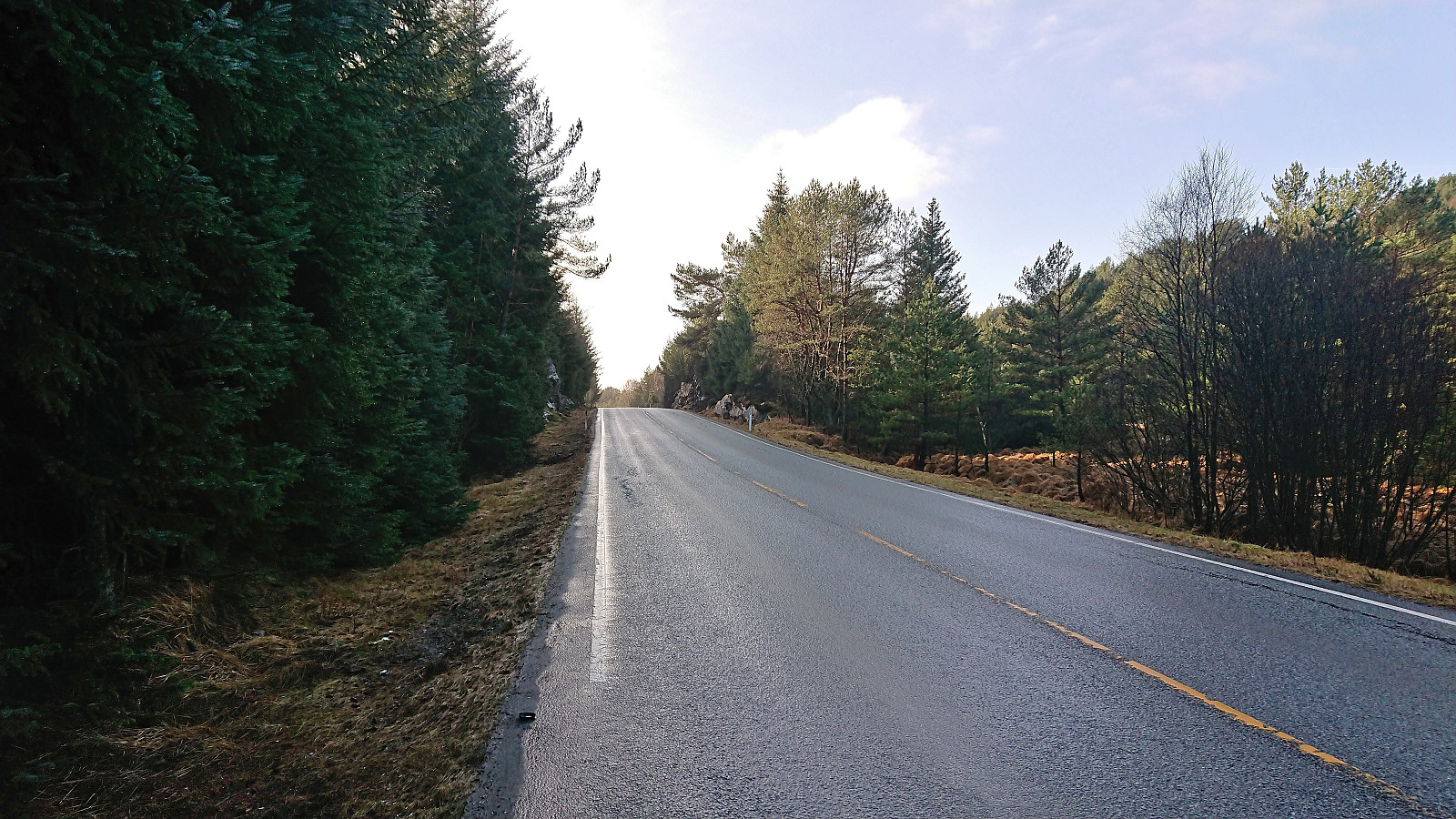
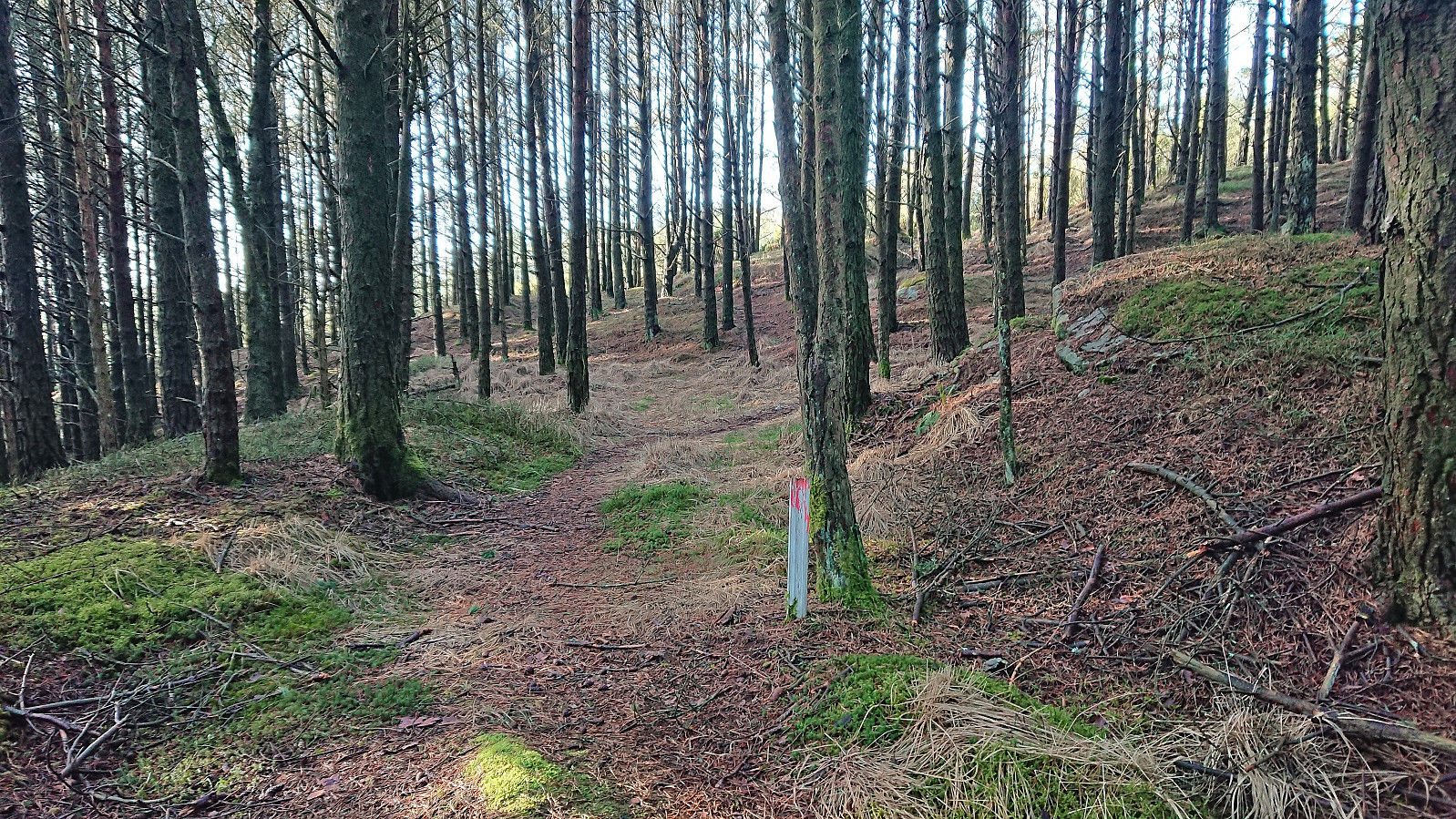
Another bus trip from Bergen to Sveio. This time with the main goal of visiting Ramsfjellet with an added bonus of Ryvarden and Flokehyttene. I got off at the bus stop "Lindøy nord" and walked less than 250 meters southwest along the main road. Here I crossed a small field to reach a tractor road indicating the start of the trail to Ramsfjellet.
The tractor road was however separated from the field by a small stream and the first trail marker did not show up until the tractor road later turned north. Hence, there might be a different "official" trailhead nearby. After crossing the stream I simply followed the faded white wooden trail markers with red dots all the way to the summit which was thus reached without any issues.
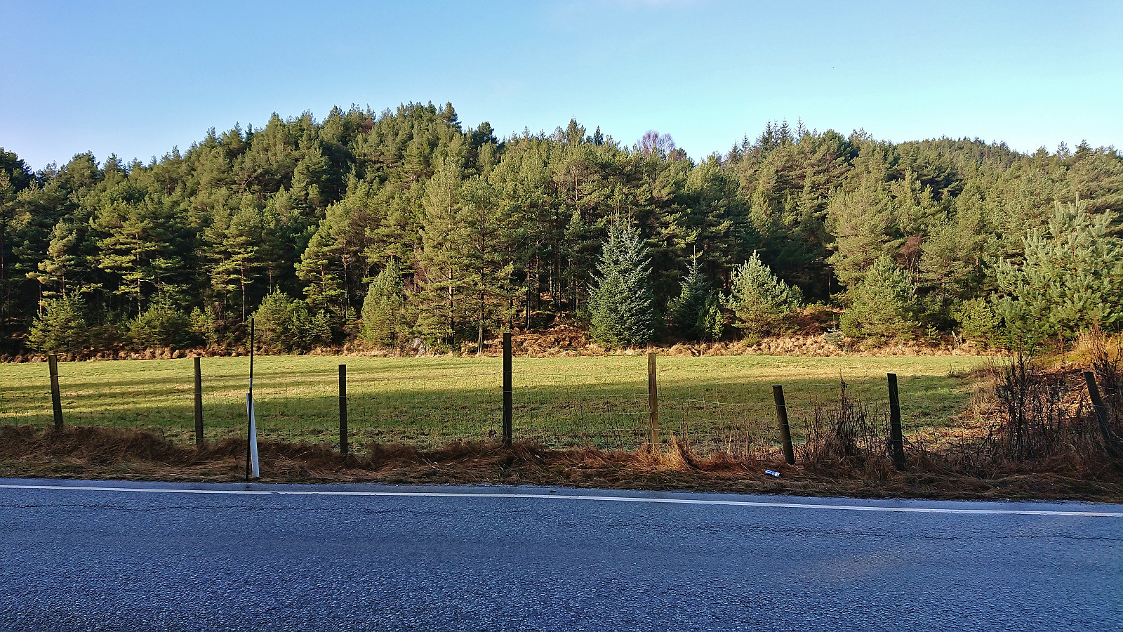
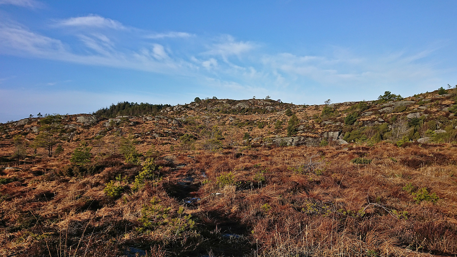
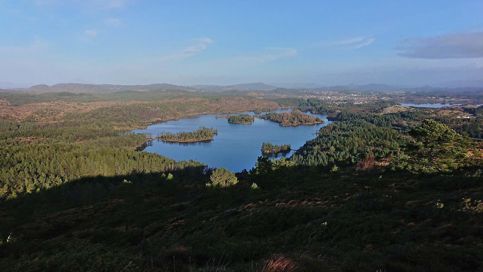
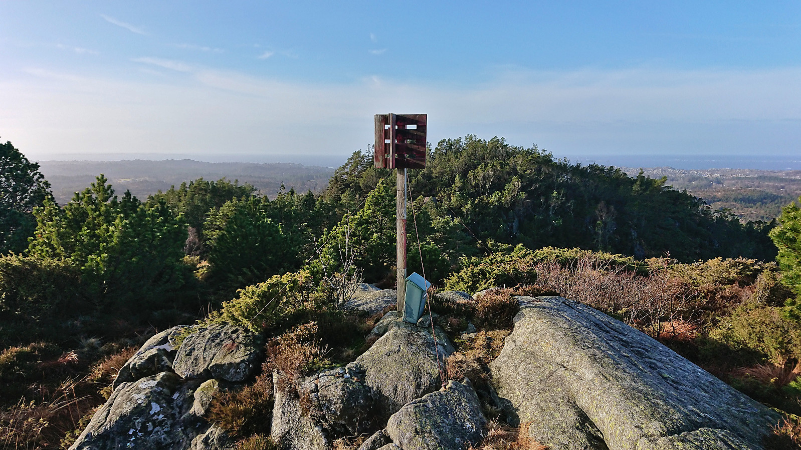
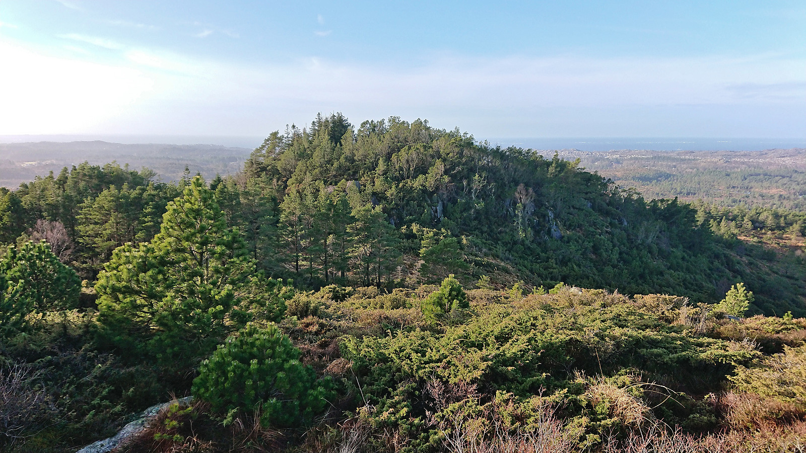
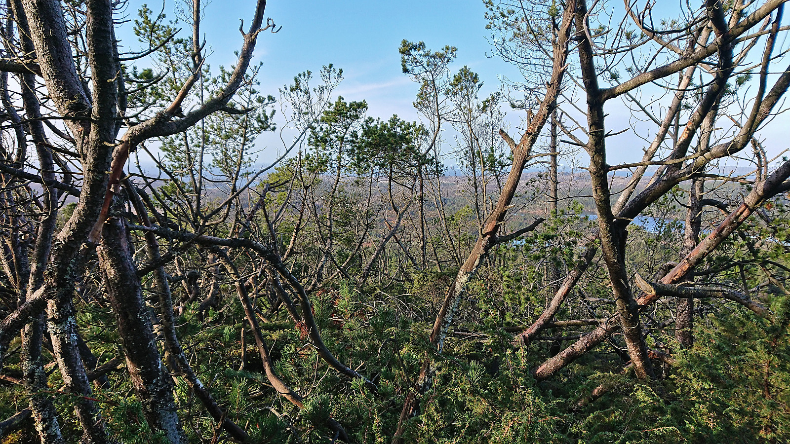
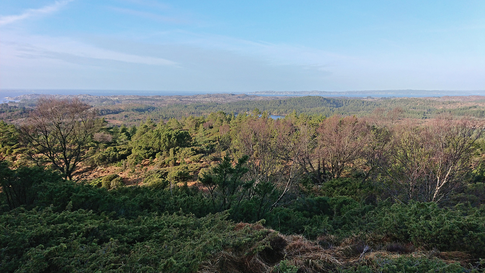
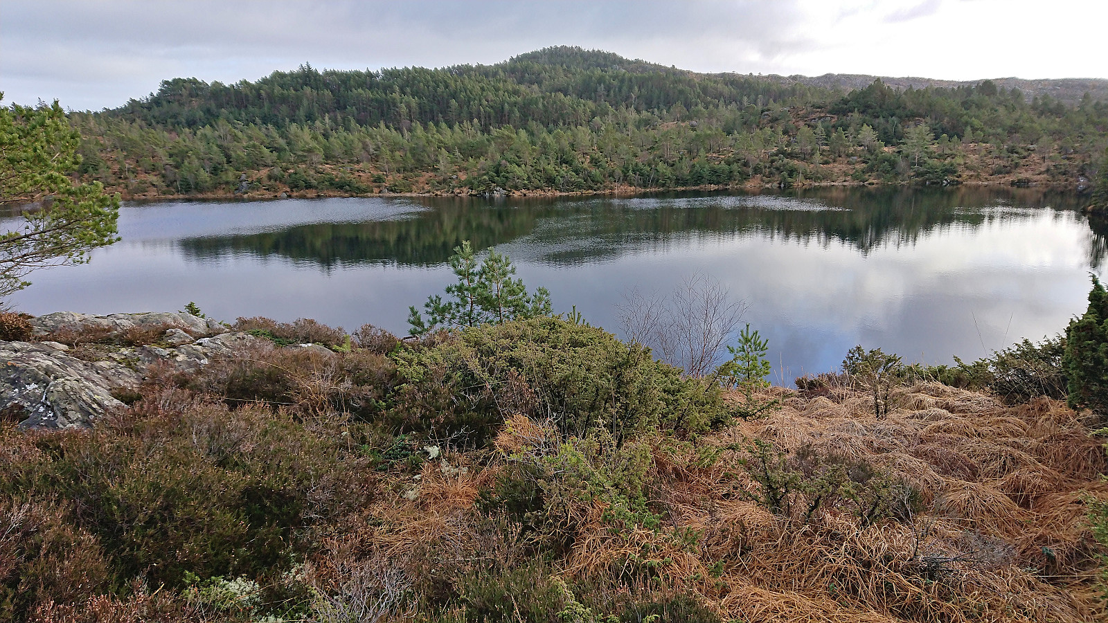
Excellent panoramic views from Ramsfjellet. My attention however soon moved to a hill about 150 meters to the west and the considerations on whether it could be slightly higher. It was hard to tell from where I was standing, especially with the many pine trees covering the summit area. I therefore decided to pass by it on my way west to Ryvarden and upon getting there quickly concluded that it was indeed slightly lower (which later more detailed inspections of the map also showed).
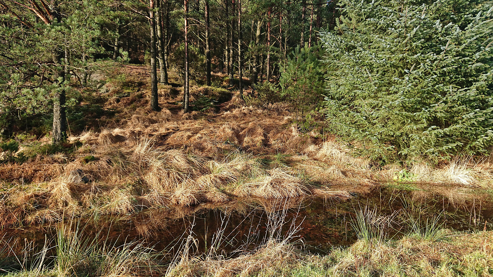
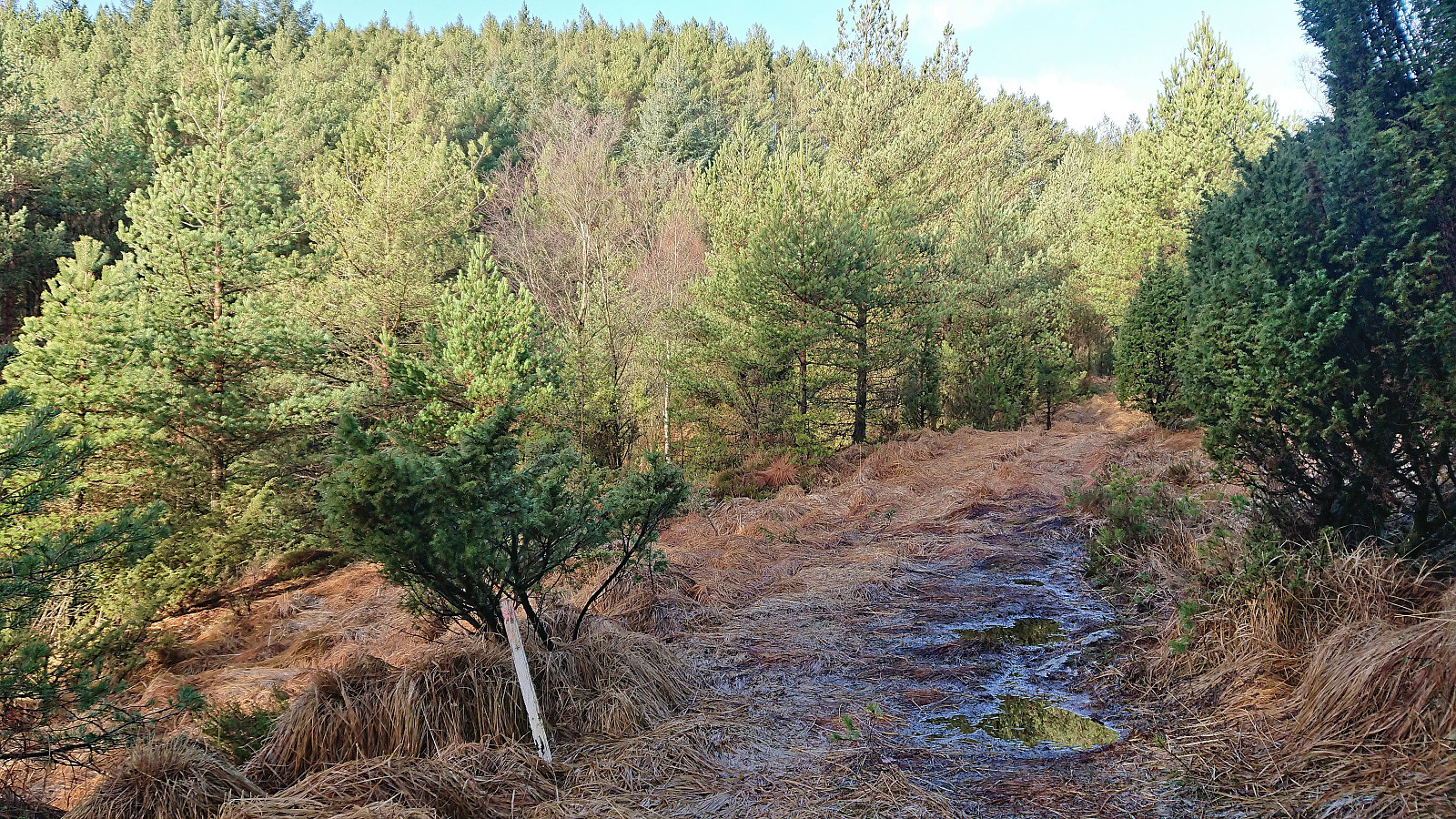
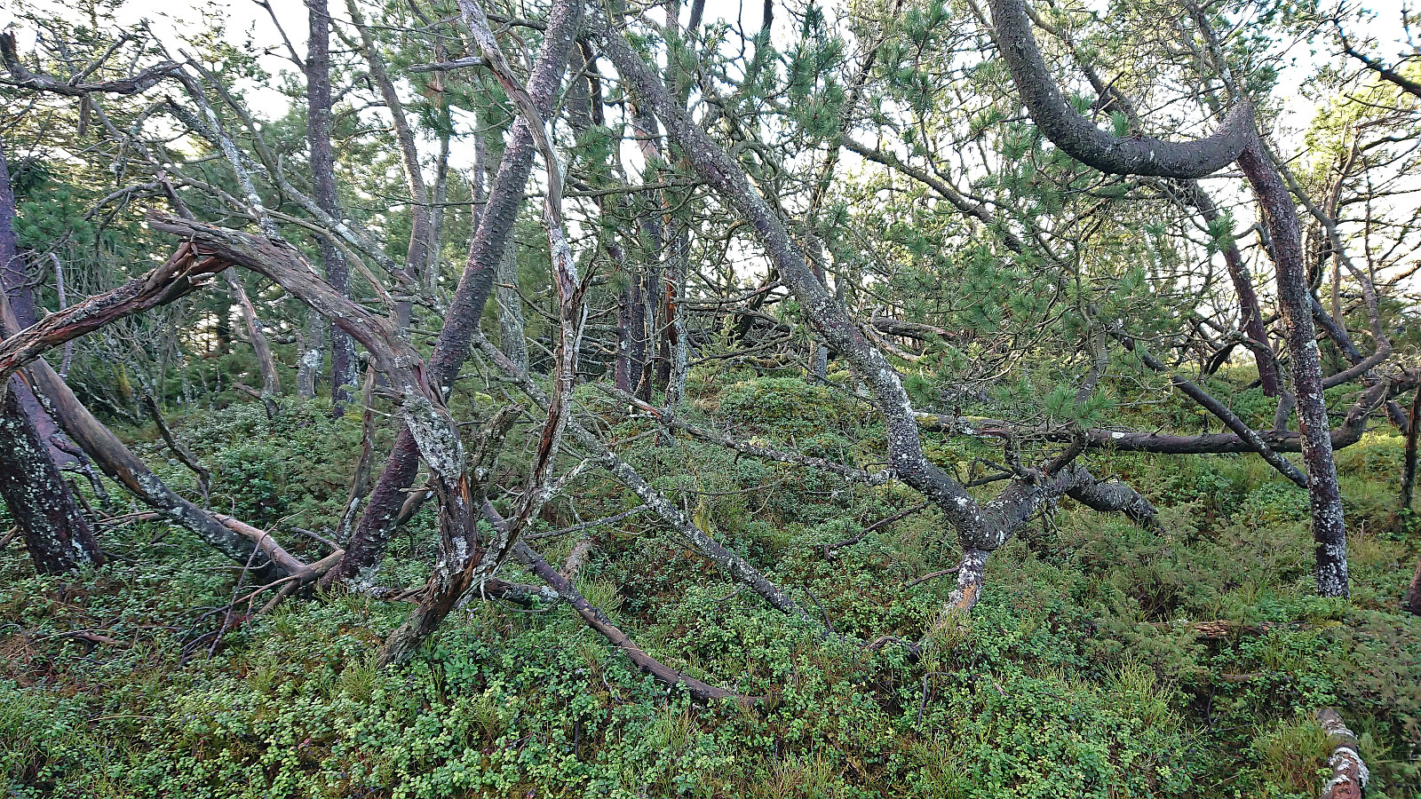
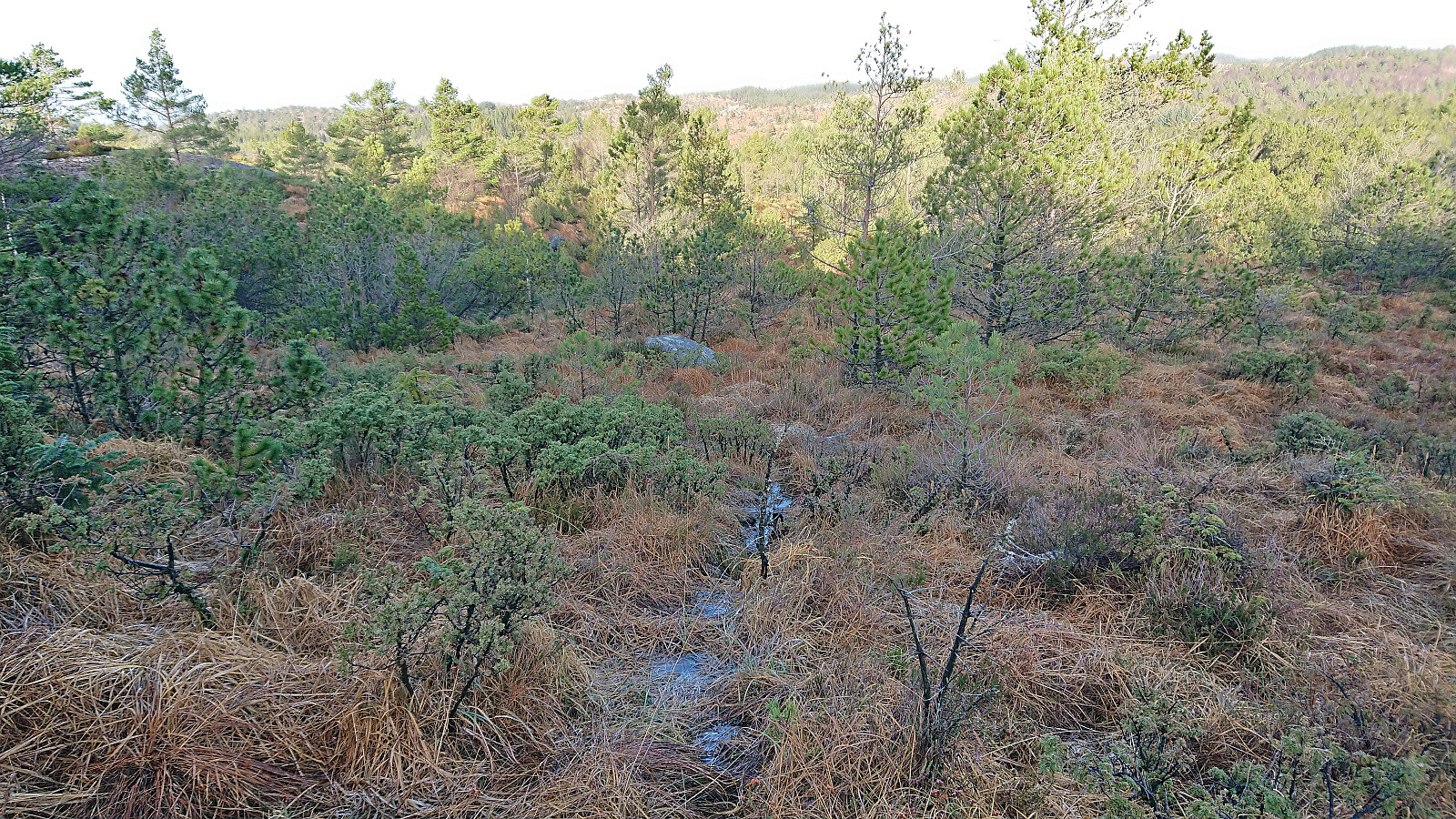
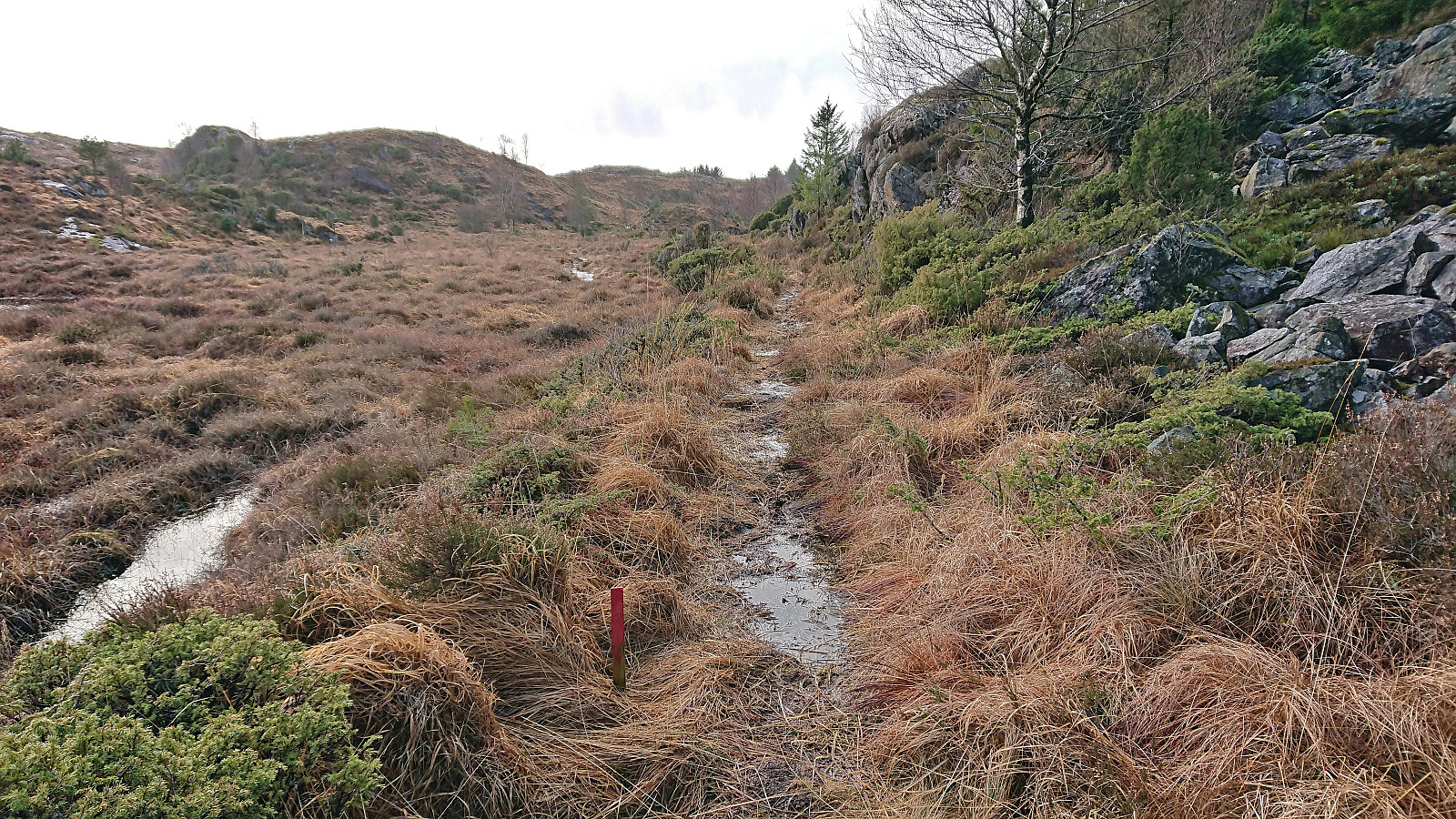
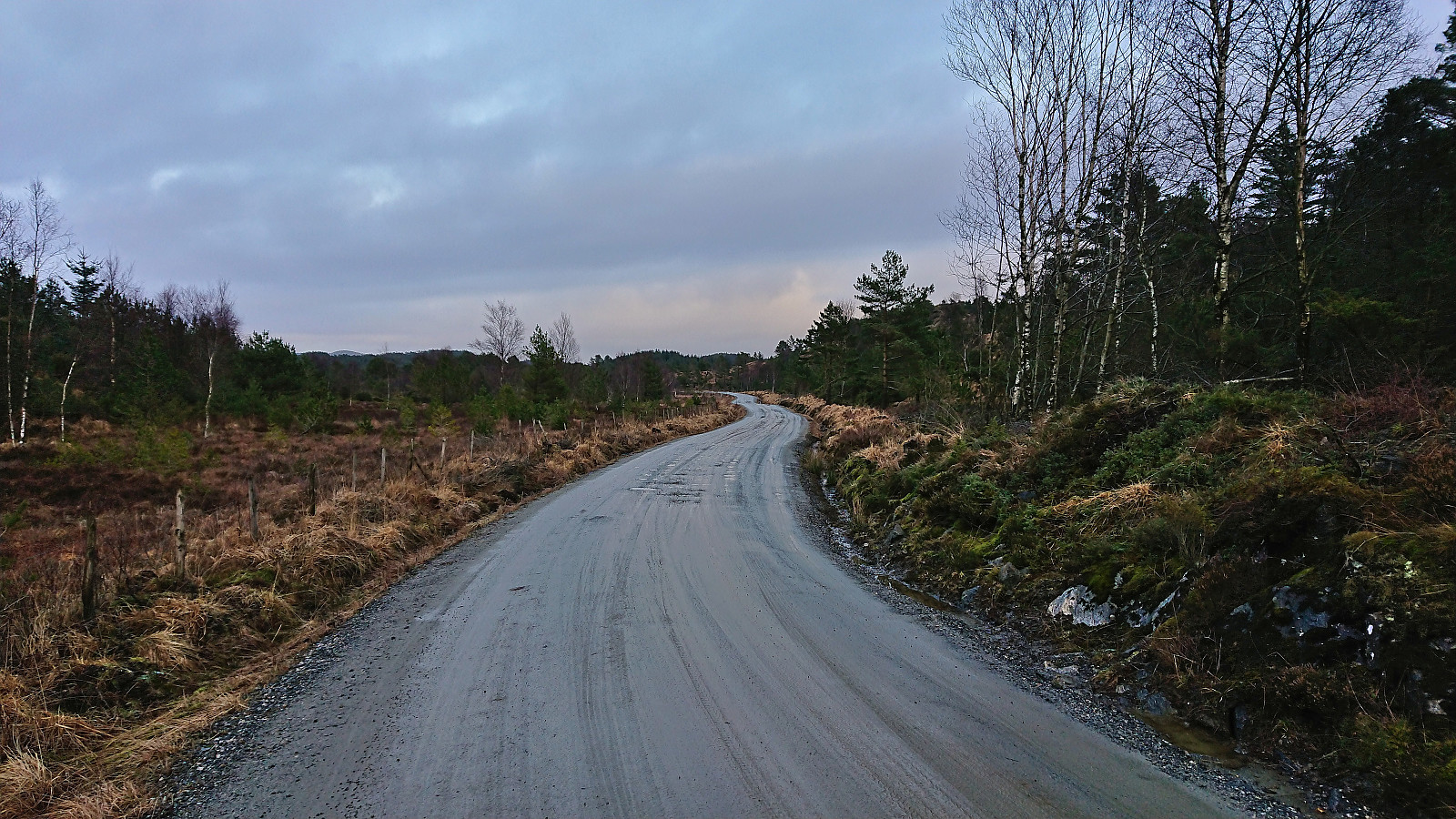
Given that I was now just around 350 meters from the trail indicated to the northwest, I simply continued off-trail in that direction. Not the easiest terrain to traverse, and lots of dense vegetation to fight with, but it did not take long before I reached the location of the mentioned trail. But while the terrain had opened up, there was at best a weak deer track. Not until after crossing Istertveitbekken, i.e. the stream/wet area connecting Urdalsvatnet and Forevatnet, did I come across a proper trail, but from there on I could follow a marked trail southwest to the paved road of Gullvegen.
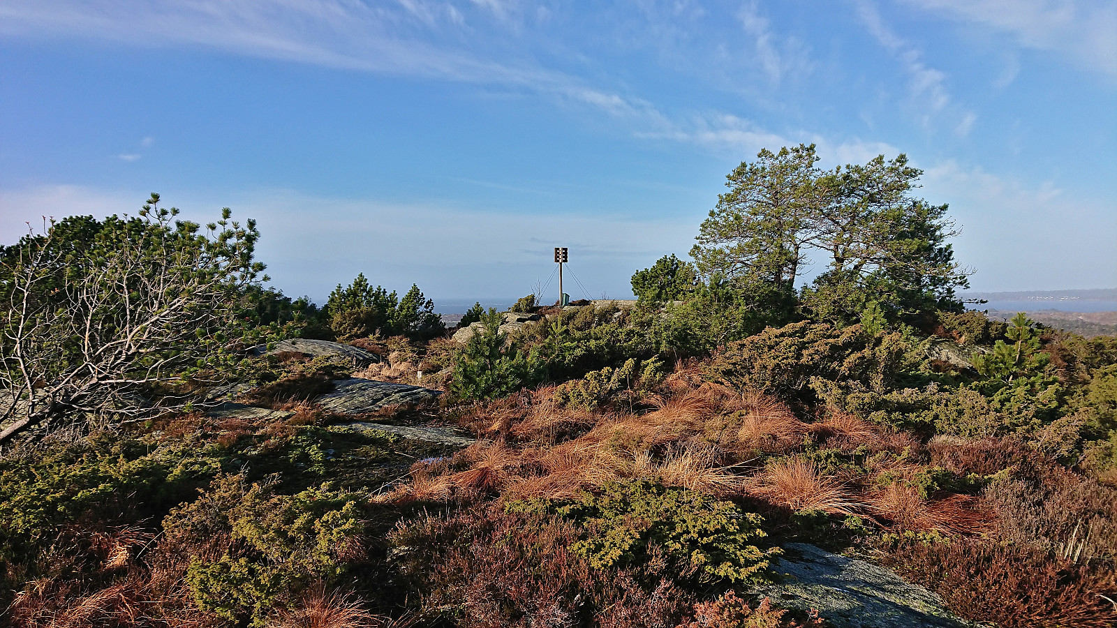
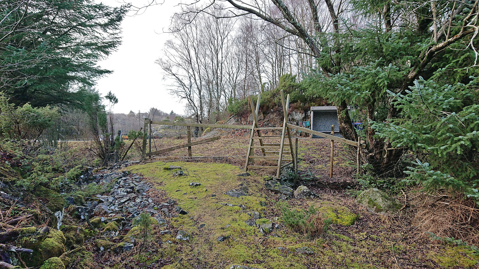
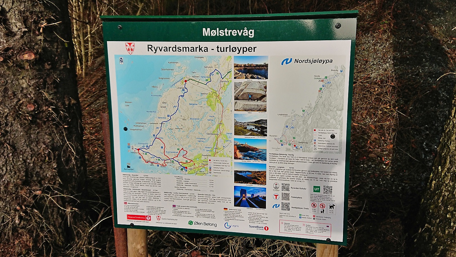
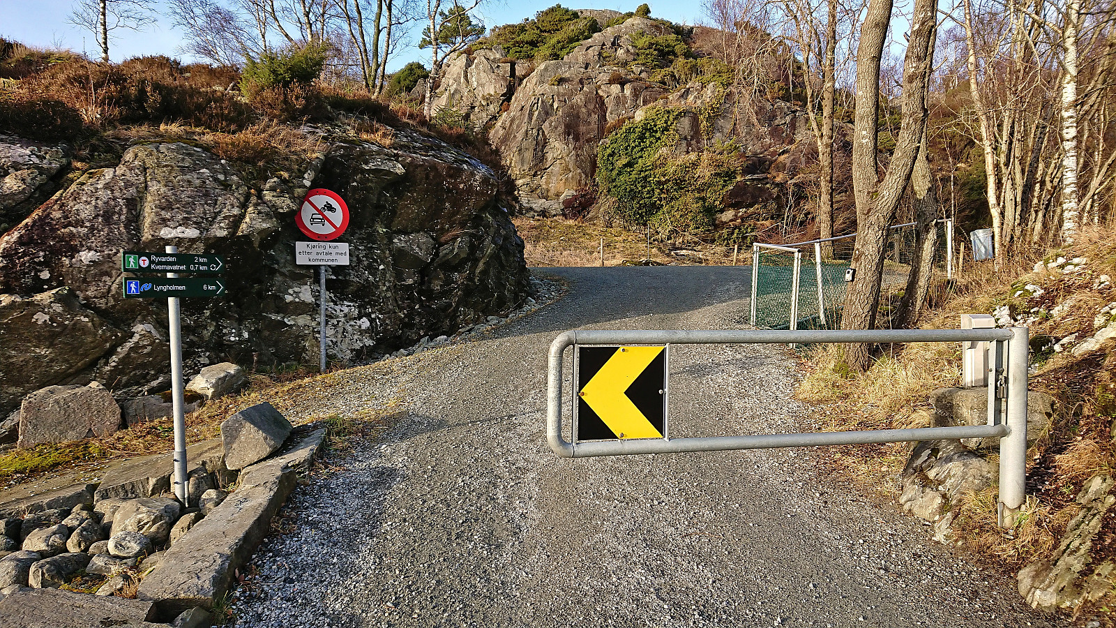
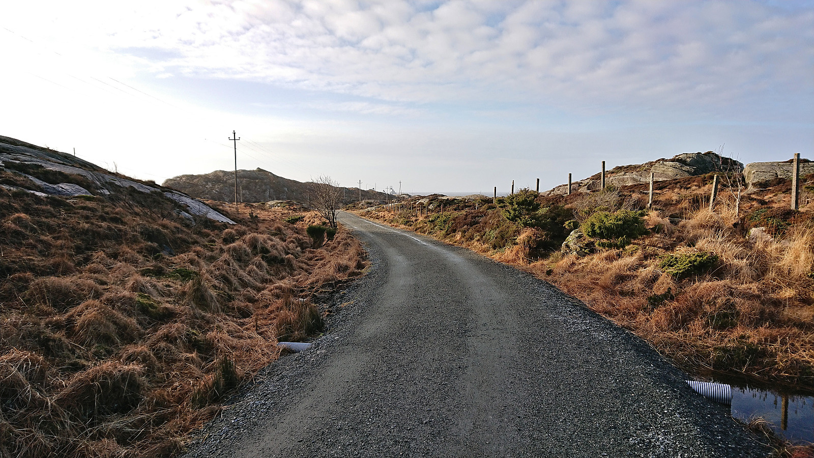
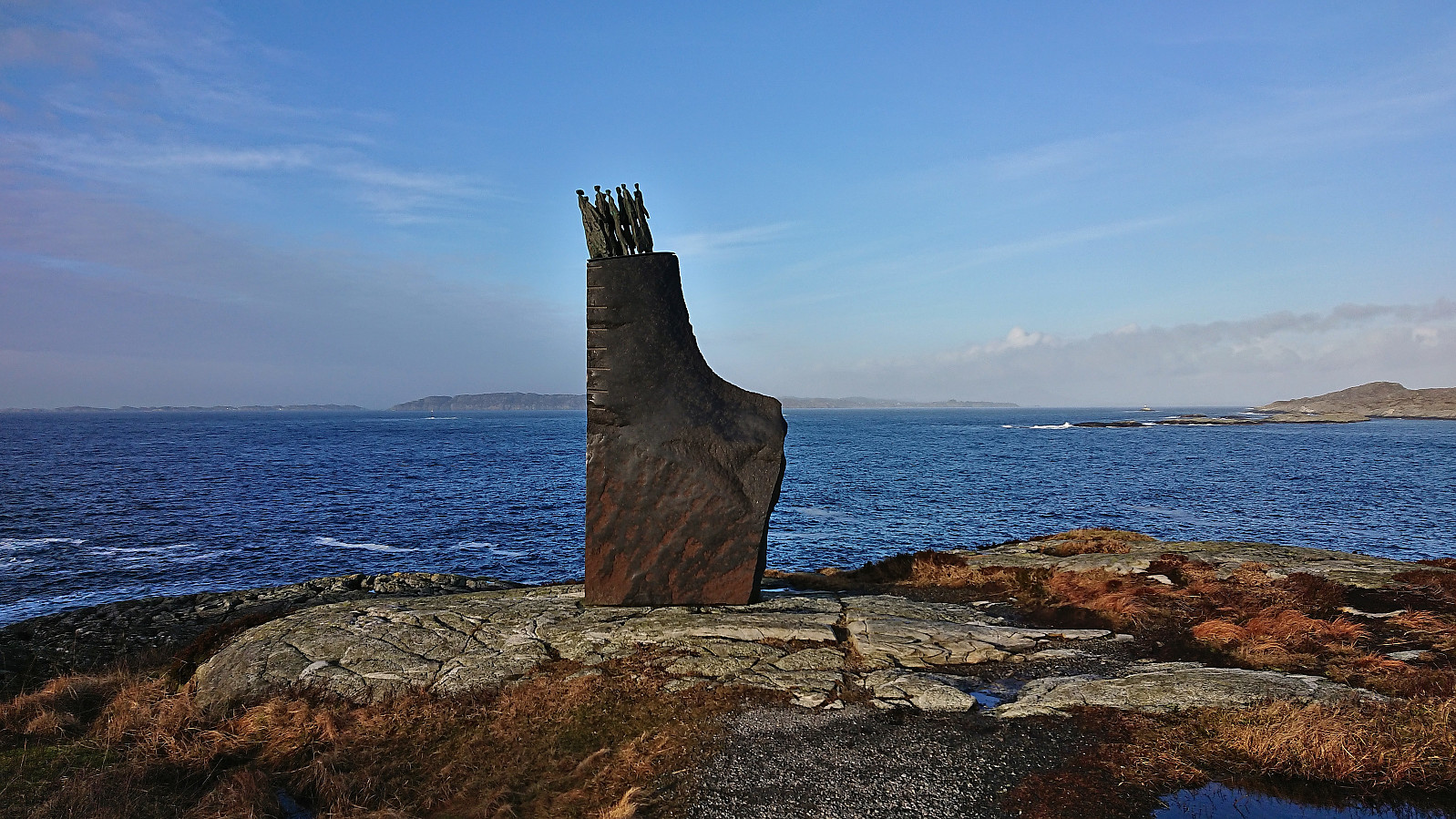
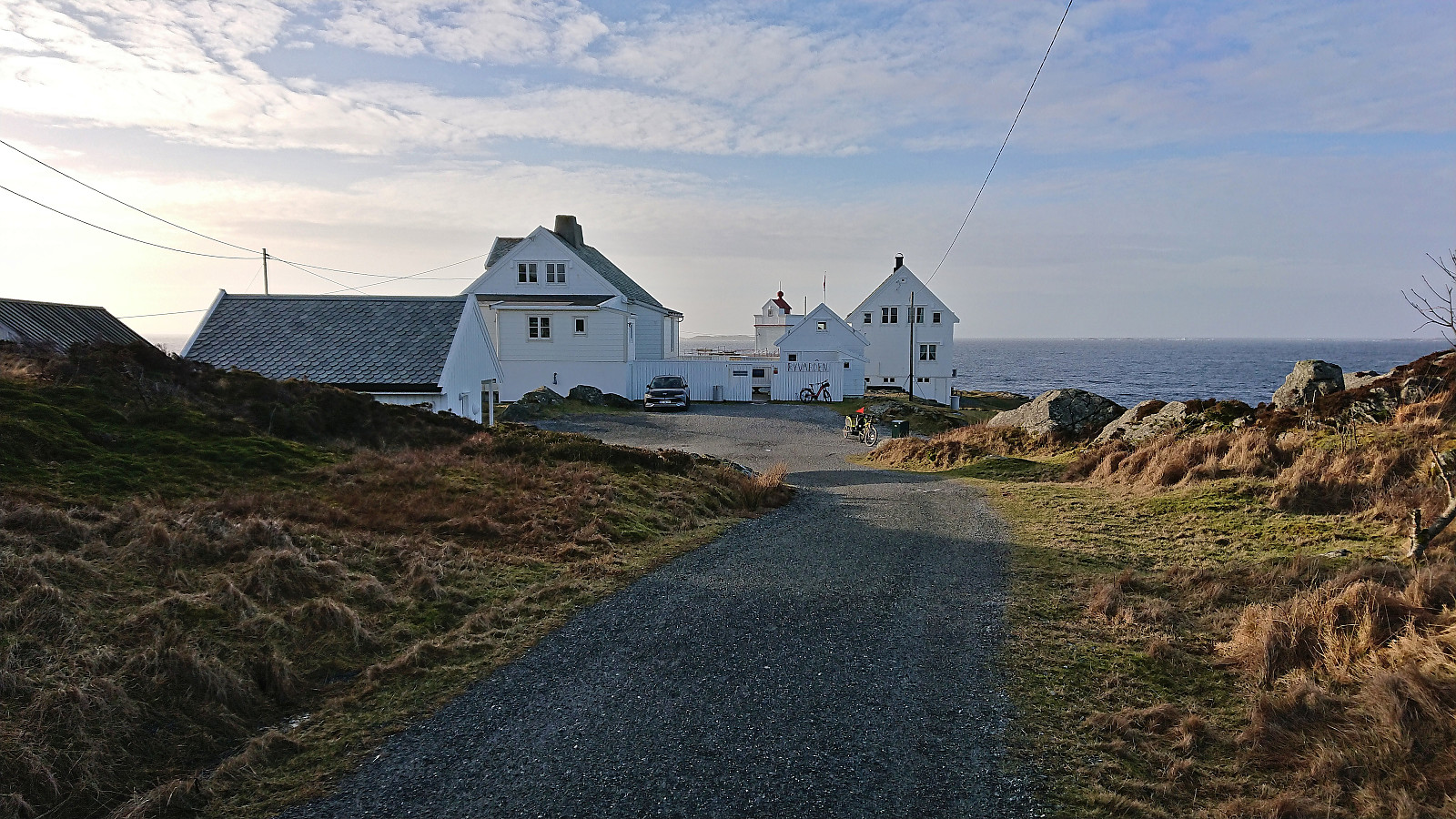
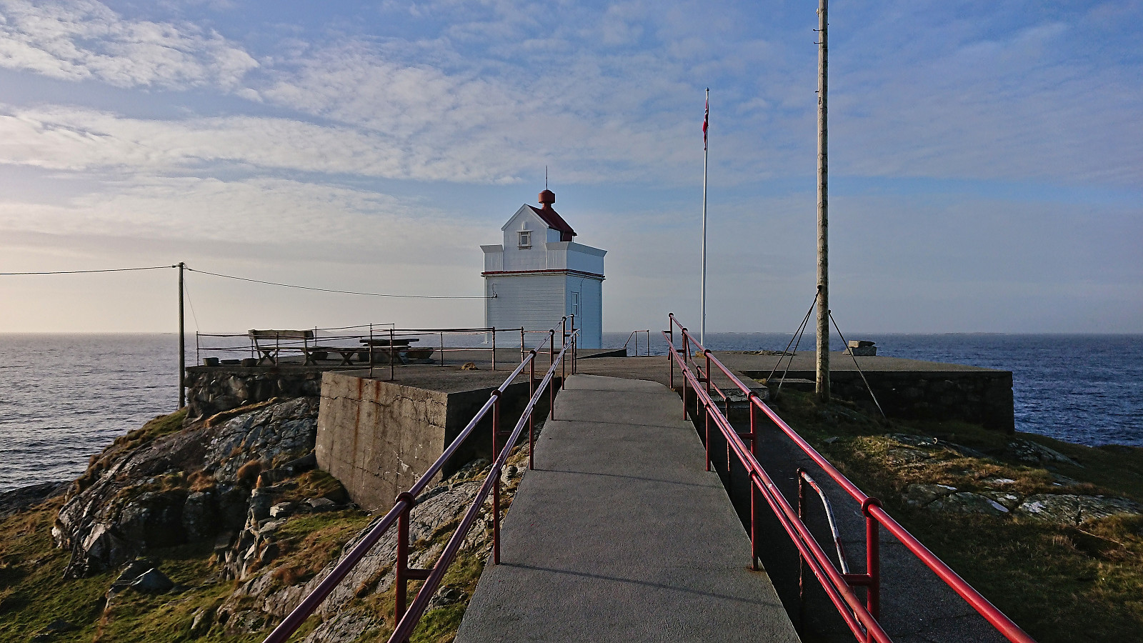
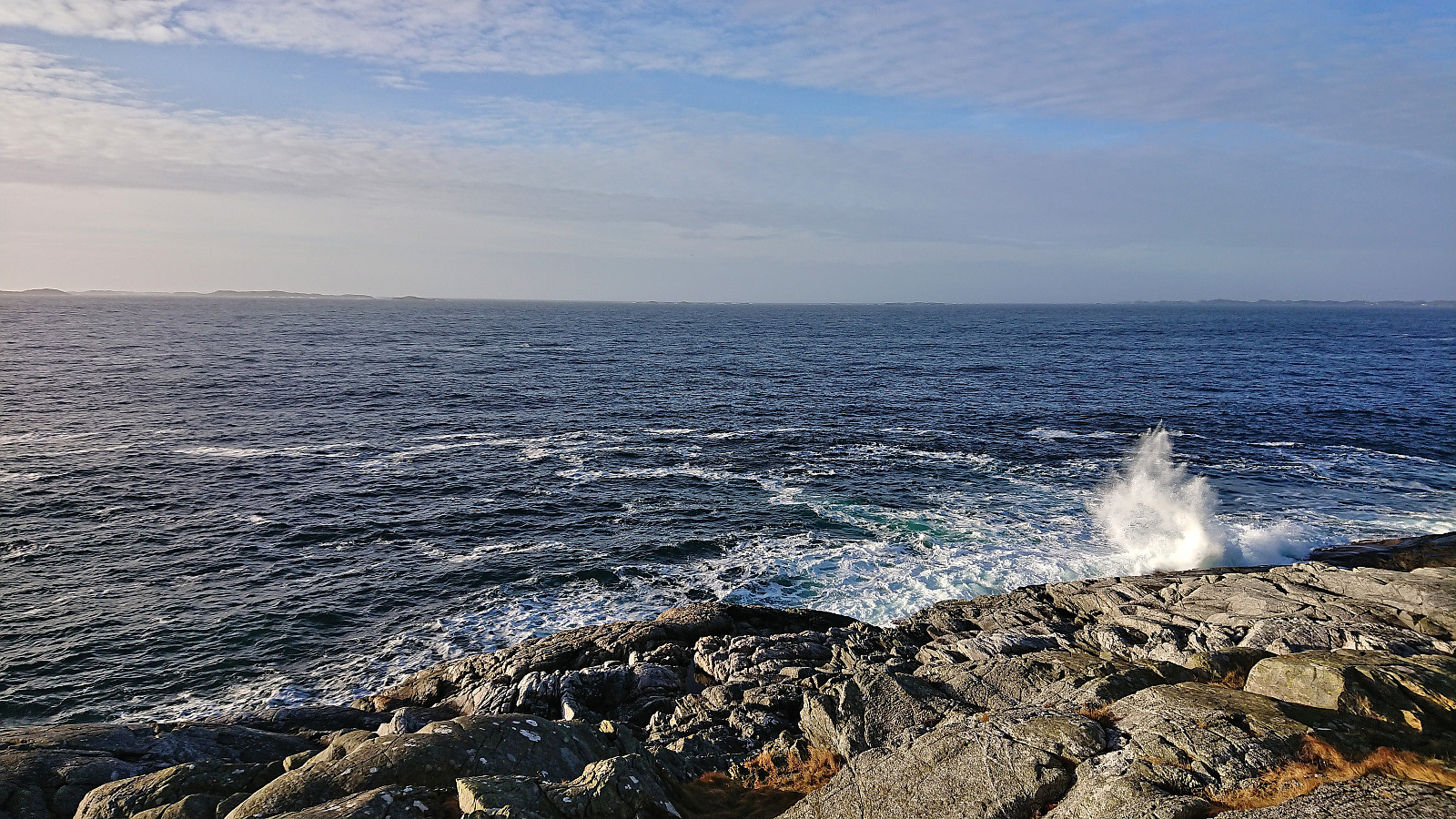
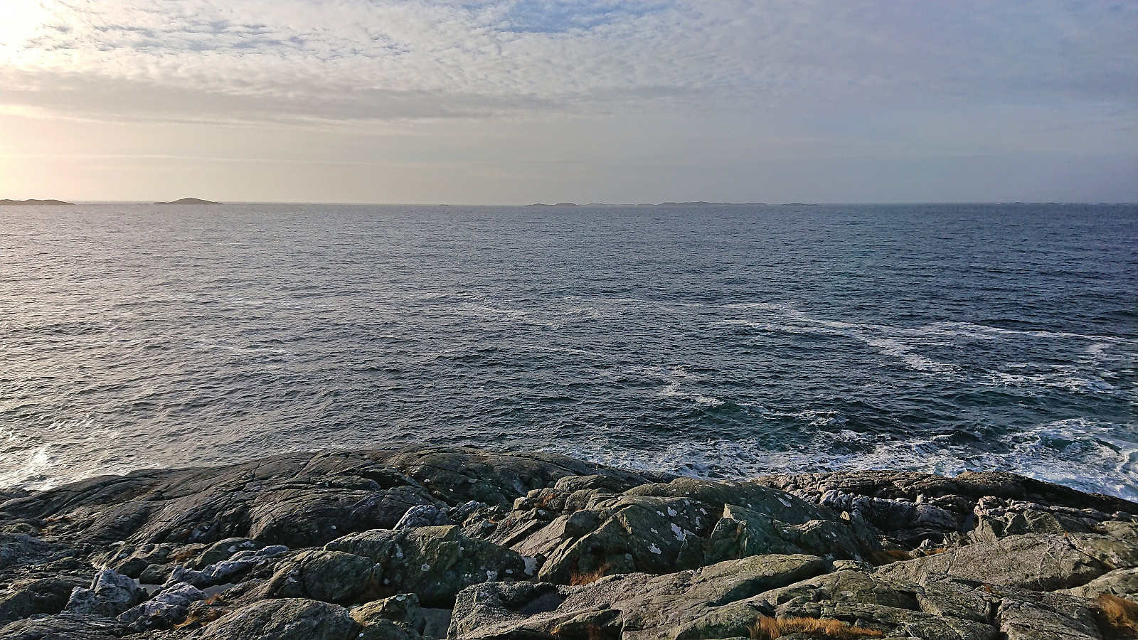
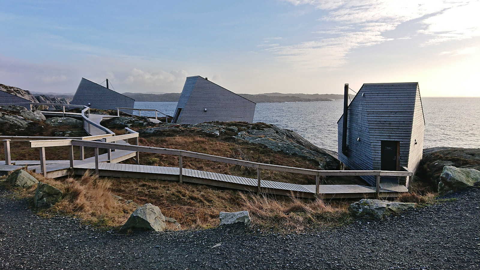
Next, I walked along the paved roads, first north and then west, to the start of the gravel-covered hiking path/road to Ryvarden. At Ryvarden I had a quick lunch break to enjoy the excellent views, before passing by the rather unusual-looking Flokehyttene and returning east to Gullvegen, where I continued east along the gravel/dirt-covered Paddevegen to Sveio.
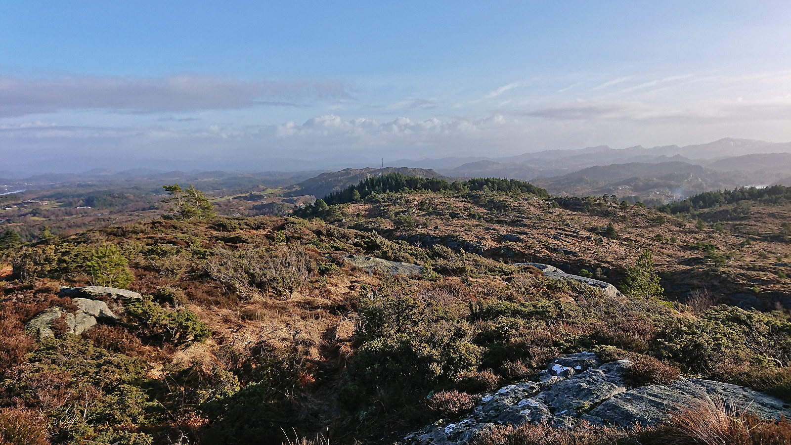
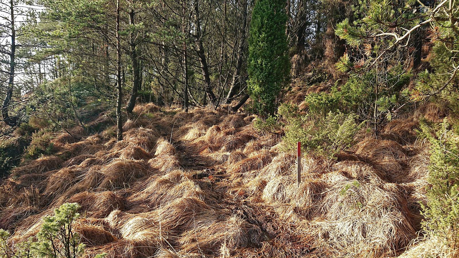
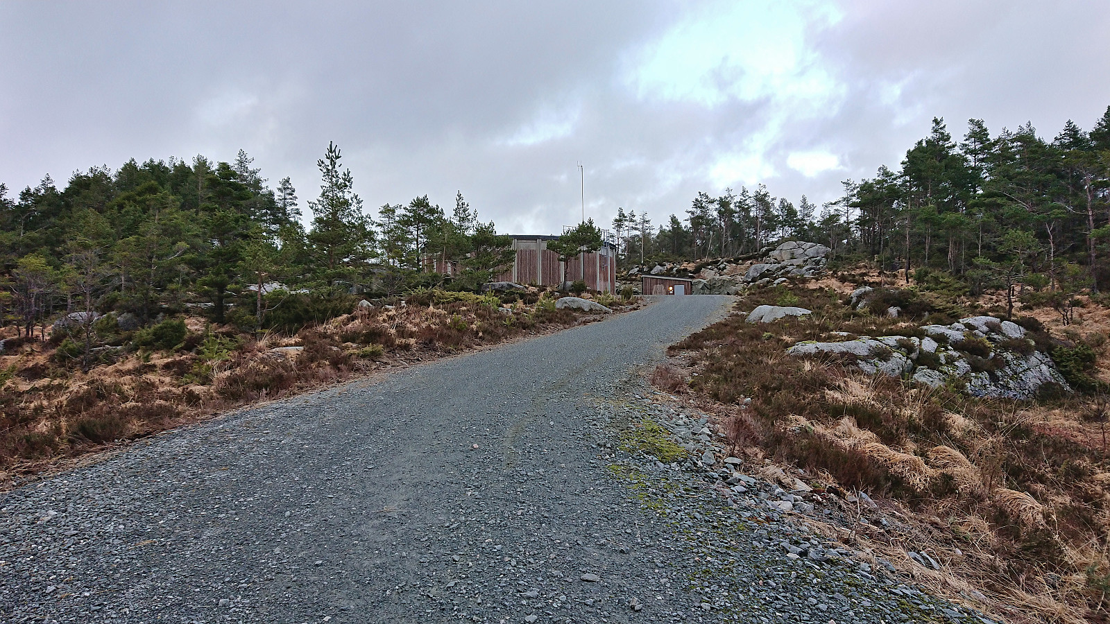
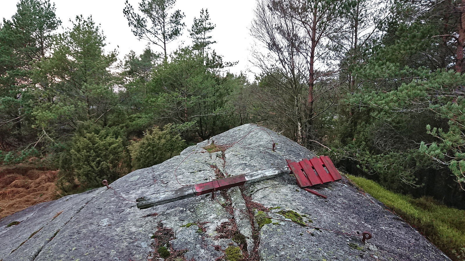
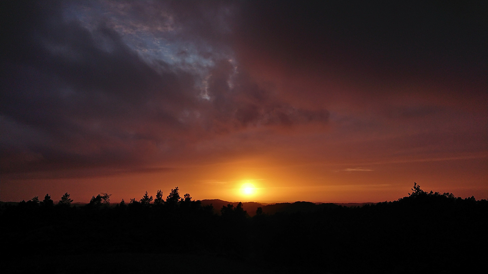
With its limited views, Paddevegen was clearly the most boring part of the hike. I therefore decided on a short detour to the summit of Rossafjellet. A gravel road took me almost all the way to the highest point, and from the water tower at the end of the road there were less than 50 meters off-trail to the summit. Limited views from the fallen trig marker at the summit, but as I started my descent the sun reappeared from behind the clouds and I could enjoy the beginnings of an excellent sunset before concluding my hike by walking to the bus stop next to Sveio cemetery.
In summary, a highly enjoyable hike, except for the area between Ramsfjellet and Istertveitbekken, with excellent views along the way, especially from Ryvarden.
| Starttidspunkt | 05.02.2023 12:21 (UTC+01:00) |
| Sluttidspunkt | 05.02.2023 17:06 (UTC+01:00) |
| Totaltid | 4t 45min |
| Bevegelsestid | 4t 28min |
| Pausetid | 0t 16min |
| Snittfart totalt | 4,0km/t |
| Snittfart bevegelsestid | 4,3km/t |
| Distanse | 19,0km |
| Høydemeter | 458m |

Kommentarer