Ramboghøyen and Rambua (28.01.2023)

| Startsted | Blomvåg terminal (36moh) |
|---|---|
| Sluttsted | Blomvåg terminal (36moh) |
| Turtype | Fjelltur |
| Turlengde | 1t 20min |
| Distanse | 6,0km |
| Høydemeter | 183m |
| GPS |
|
| Bestigninger | Ramboghøyen (45moh) | 28.01.2023 |
|---|---|---|
| Andre besøkte PBE'er | Rambua (38moh) | 28.01.2023 |
Ramboghøyen and Rambua
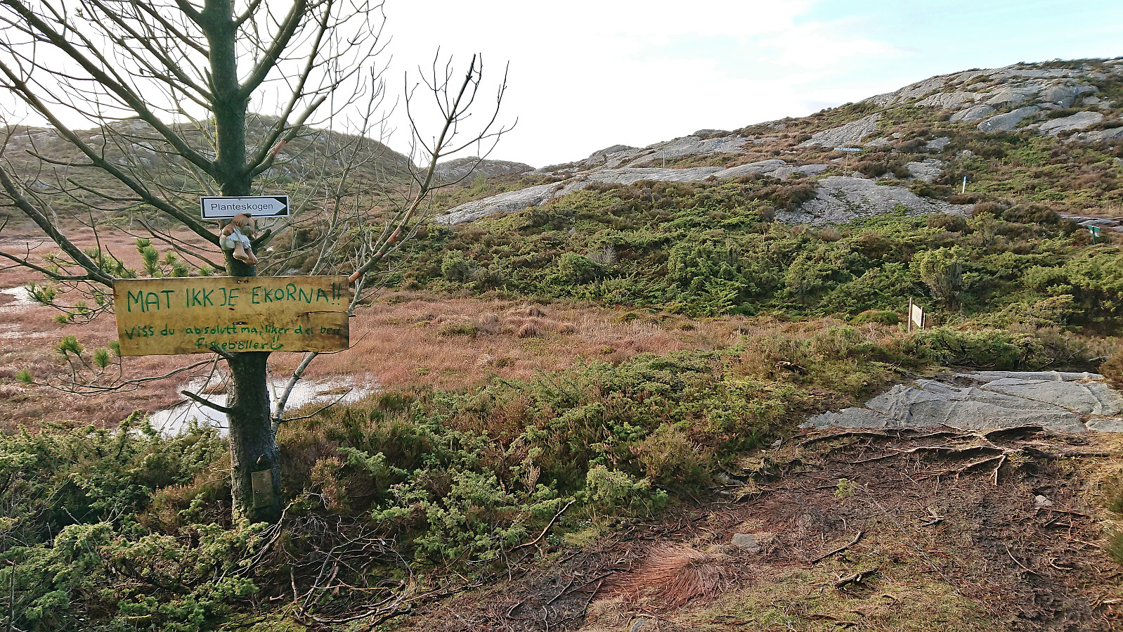
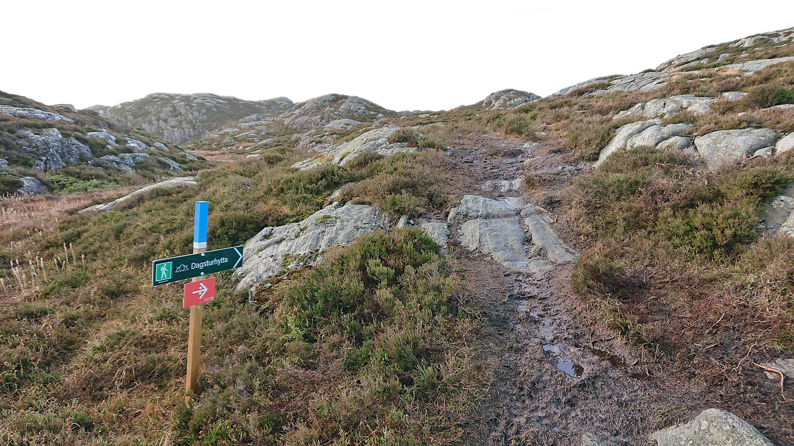
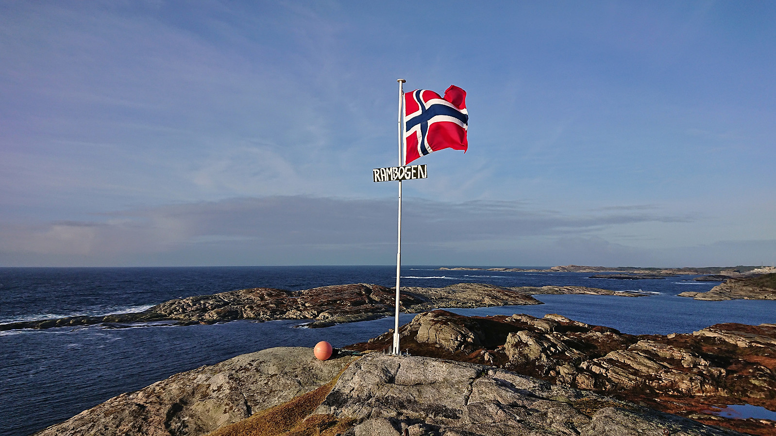
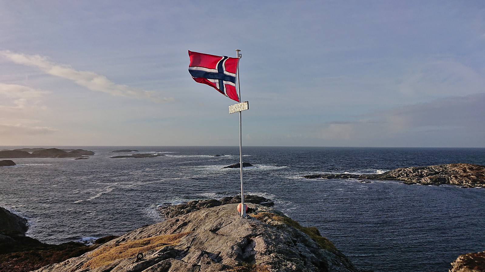
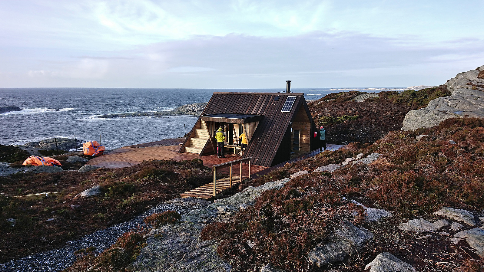
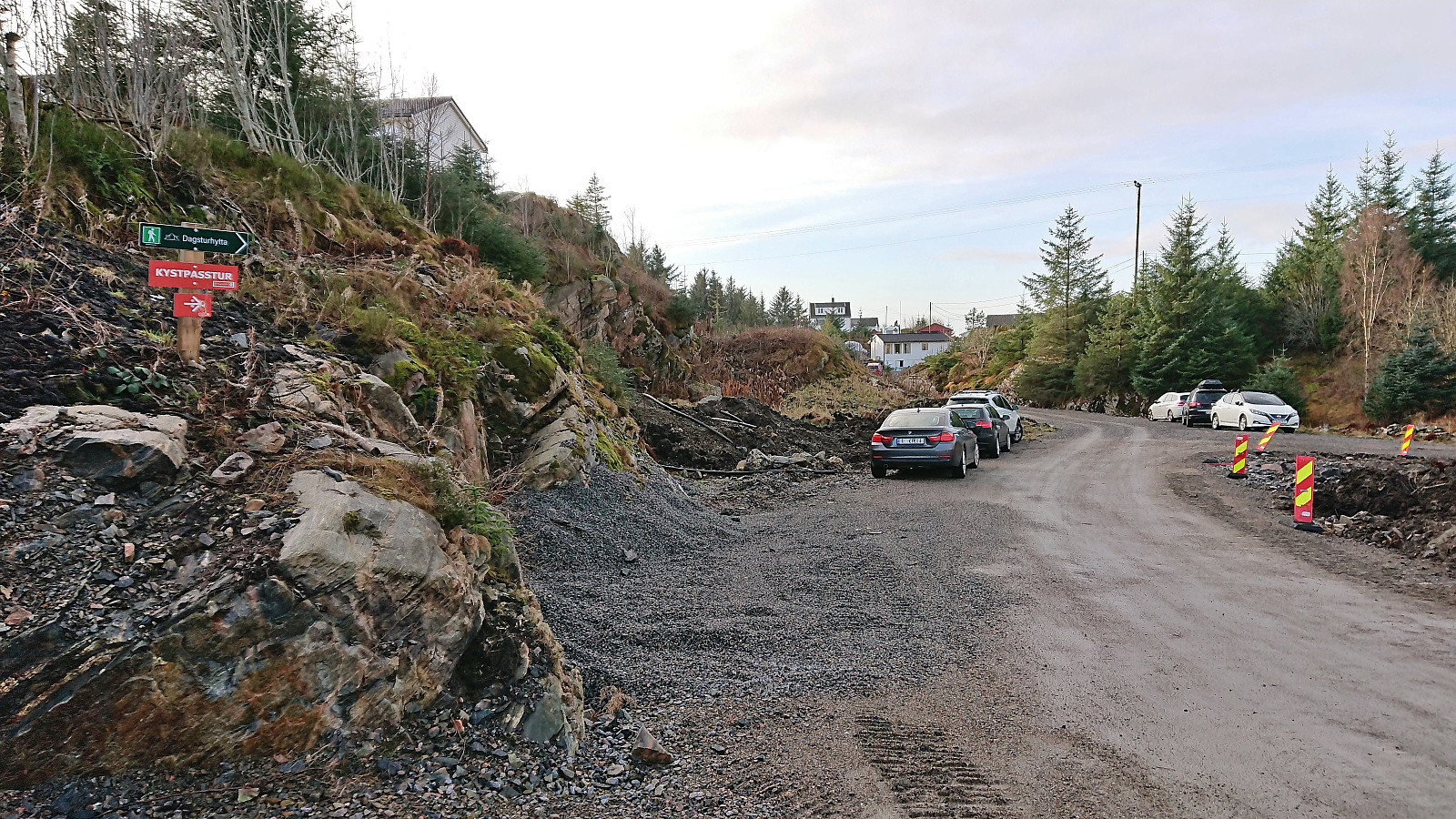
A return to Øygarden for a visit of the recently opened Rambua (officially opened January 14th). Started from the bus stop called "Blomvåg terminal" and planned to follow the suggested roundtrip from ut.no. I however missed the sign for the trailhead and continued further south than necessary. When the road later forked I also picked the wrong option (Fagerdalsvegen instead of Knarrvikvegen). In my defense the map indicated a trail at the end of both of these roads (and none from Stølemyrvegen where the real trailhead was located). But I shortly connected with the proper marked trail which I then proceeded to follow all the way to Ramboghøyen and Rambua.
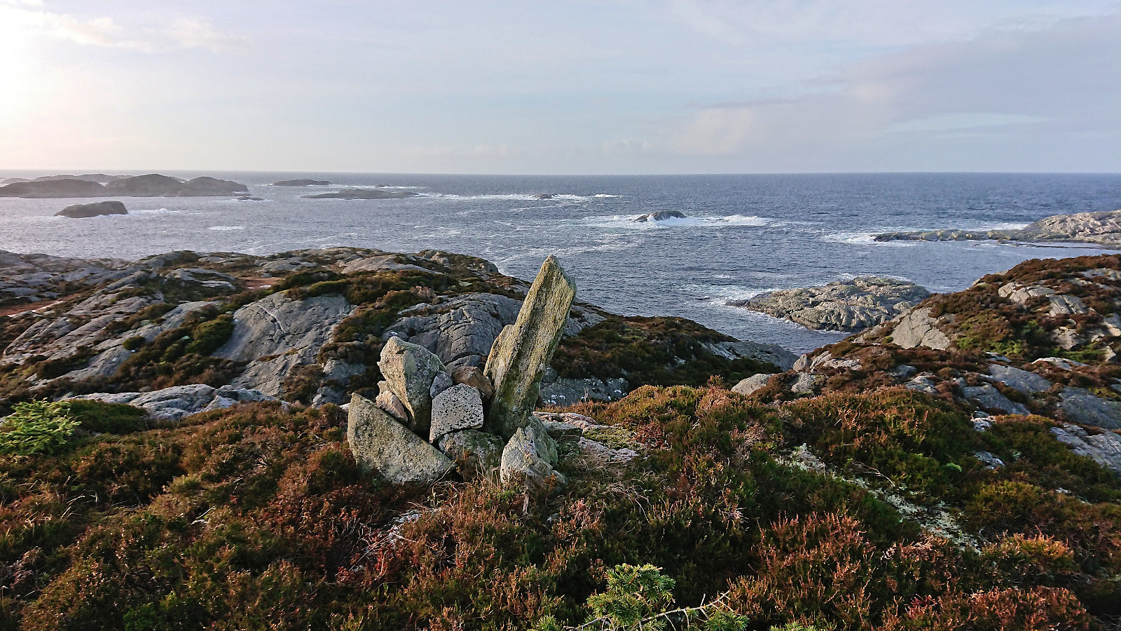
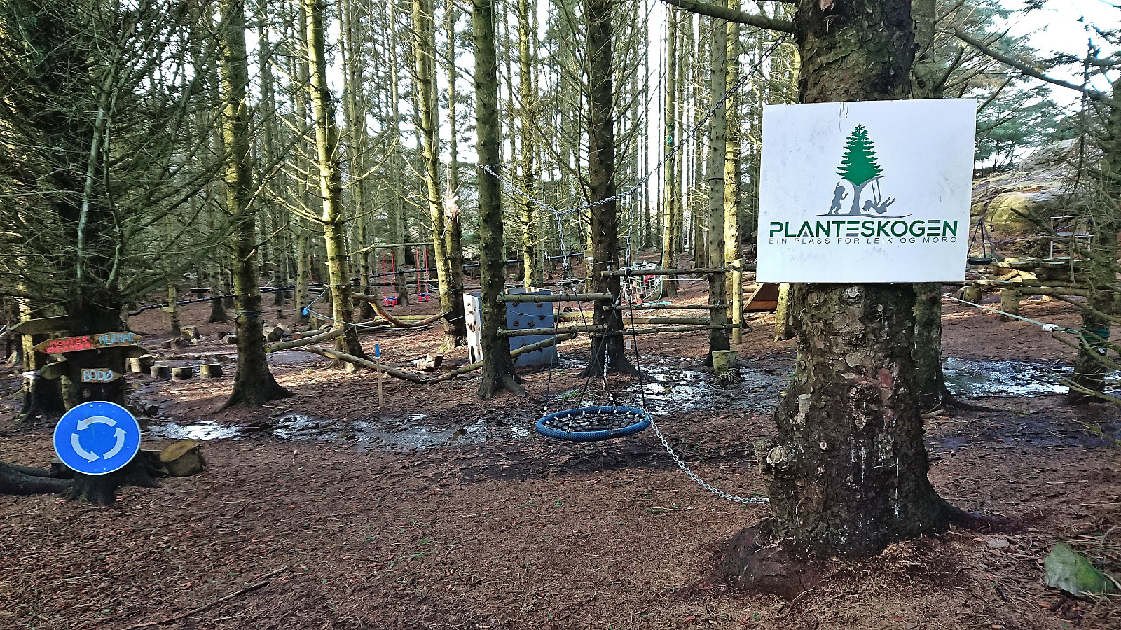
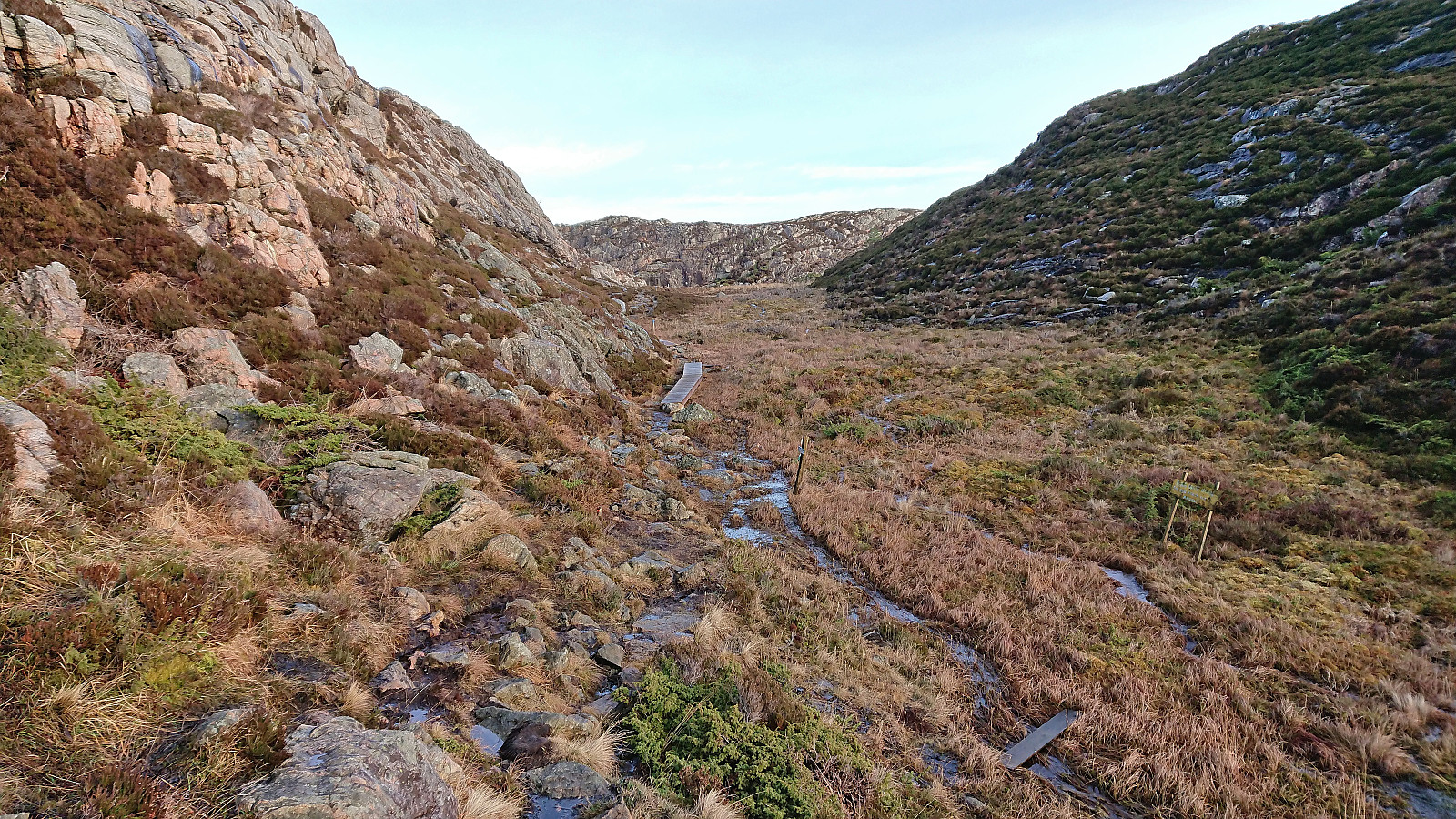
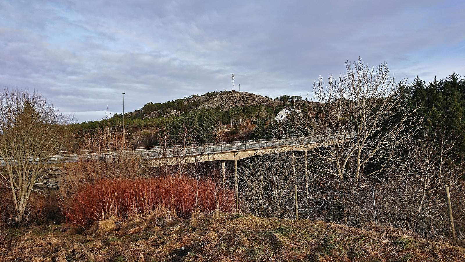
After briefly enjoying the excellent views, I continued south via Planteskogen before returning northeast. This time trying Knarrvikvegen, which towards the end consisted of a gravel-covered trail and thus a step up from the earlier weak trail starting from the end of Fagerdalsvegen. Only on my way back to the bus stop did I spot the sign for dagsturhytta at the start of Stølemyrvegen. I do not think it would have made much of a difference though, as even the parts of the marked trail that I did follow were overall rather wet and muddy. To summarize, a nice short hike with excellent views along the way.
| Starttidspunkt | 28.01.2023 11:46 (UTC+01:00) |
| Sluttidspunkt | 28.01.2023 13:06 (UTC+01:00) |
| Totaltid | 1t 20min |
| Bevegelsestid | 1t 19min |
| Pausetid | 0t 1min |
| Snittfart totalt | 4,5km/t |
| Snittfart bevegelsestid | 4,6km/t |
| Distanse | 6,0km |
| Høydemeter | 182m |

Kommentarer