Cycling: Sætrafjellet and Tveitaslottet (28.08.2022)

| Startsted | Sandvikvåg fergekai (2moh) |
|---|---|
| Sluttsted | Sandvikvåg fergekai (2moh) |
| Turtype | Blandet sykling |
| Turlengde | 4t 02min |
| Distanse | 40,1km |
| Høydemeter | 839m |
| GPS |
|
| Bestigninger | Sætrafjellet (187moh) | 28.08.2022 |
|---|---|---|
| Sætrafjellet Sør (186moh) | 28.08.2022 | |
| Andre besøkte PBE'er | Tveitaslottet (161moh) | 28.08.2022 |
| Dalshaugane p-plass (62moh) | 28.08.2022 | |
| Gangbro over Tveitaelva (85moh) | 28.08.2022 |
Cycling: Sætrafjellet and Tveitaslottet
After yesterday's long hike in Granvin, I switched to cycling with the goal of visiting one of the two remaining summits on the Fitjar ≥ 100m pf. list, namely Sætrafjellet. I started by cycling to the Bergen city center and taking the bike with me on the bus to Halhjem. This was my first experience of bringing my bike on a bus and I have to admit that I felt a bit out of place, with the added bonus of constantly being worried that the next stop would be full of passengers in more need of the space than me and my bike. Thankfully this did not happen and I arrived at Halhjem without any real issues, thus saving both loads of time and, equally important, resting my tired legs from yesterday.
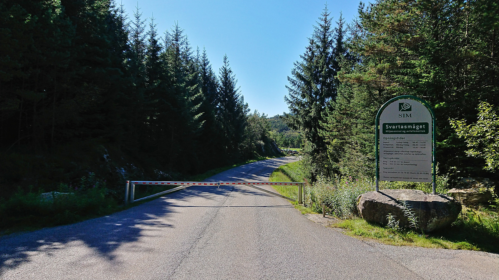
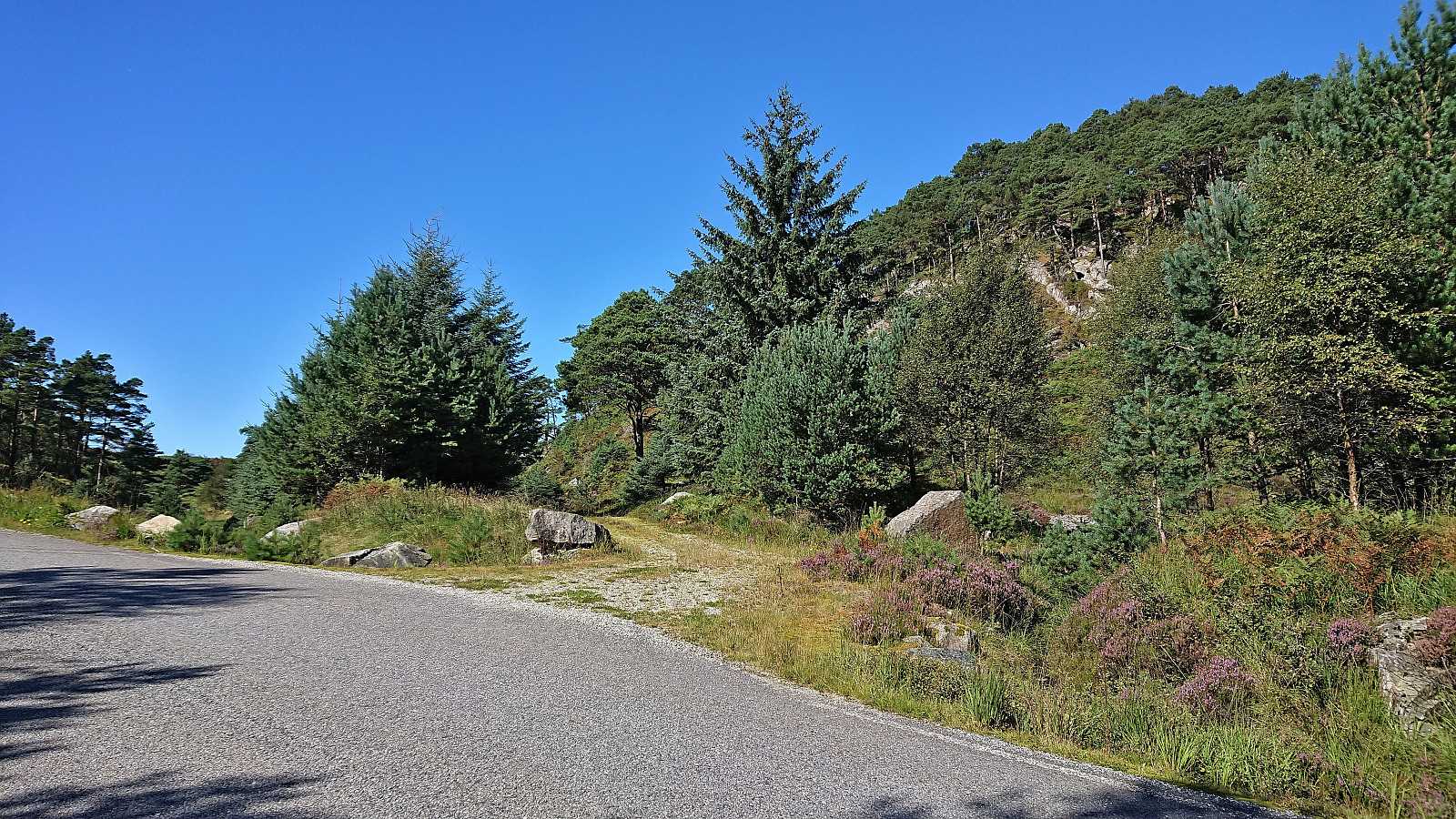
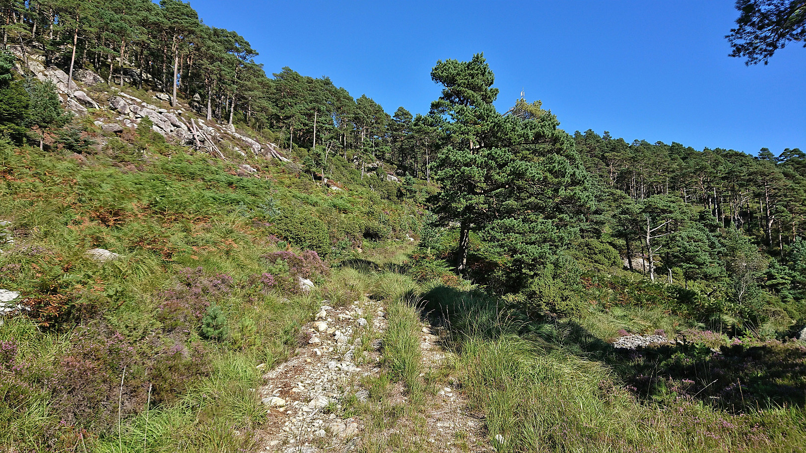
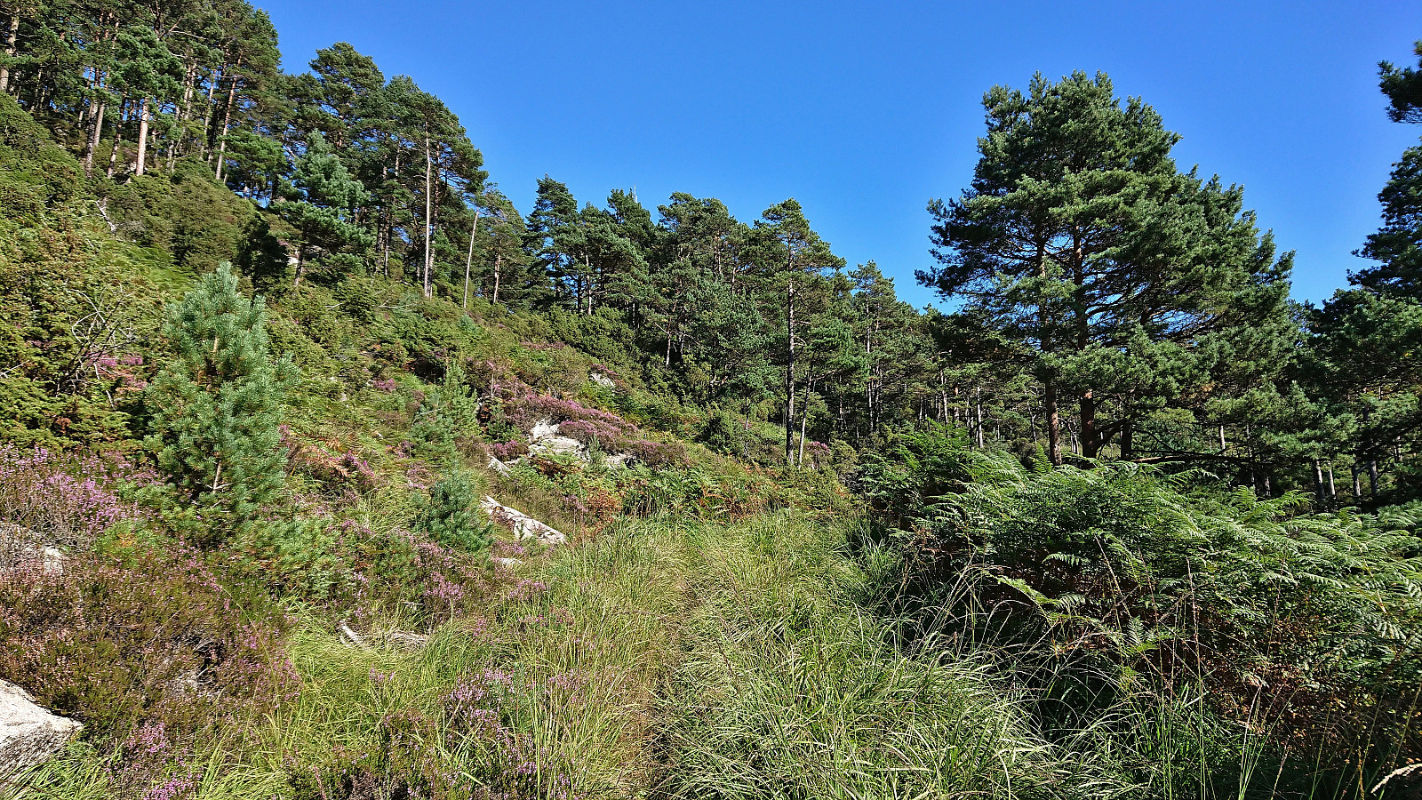
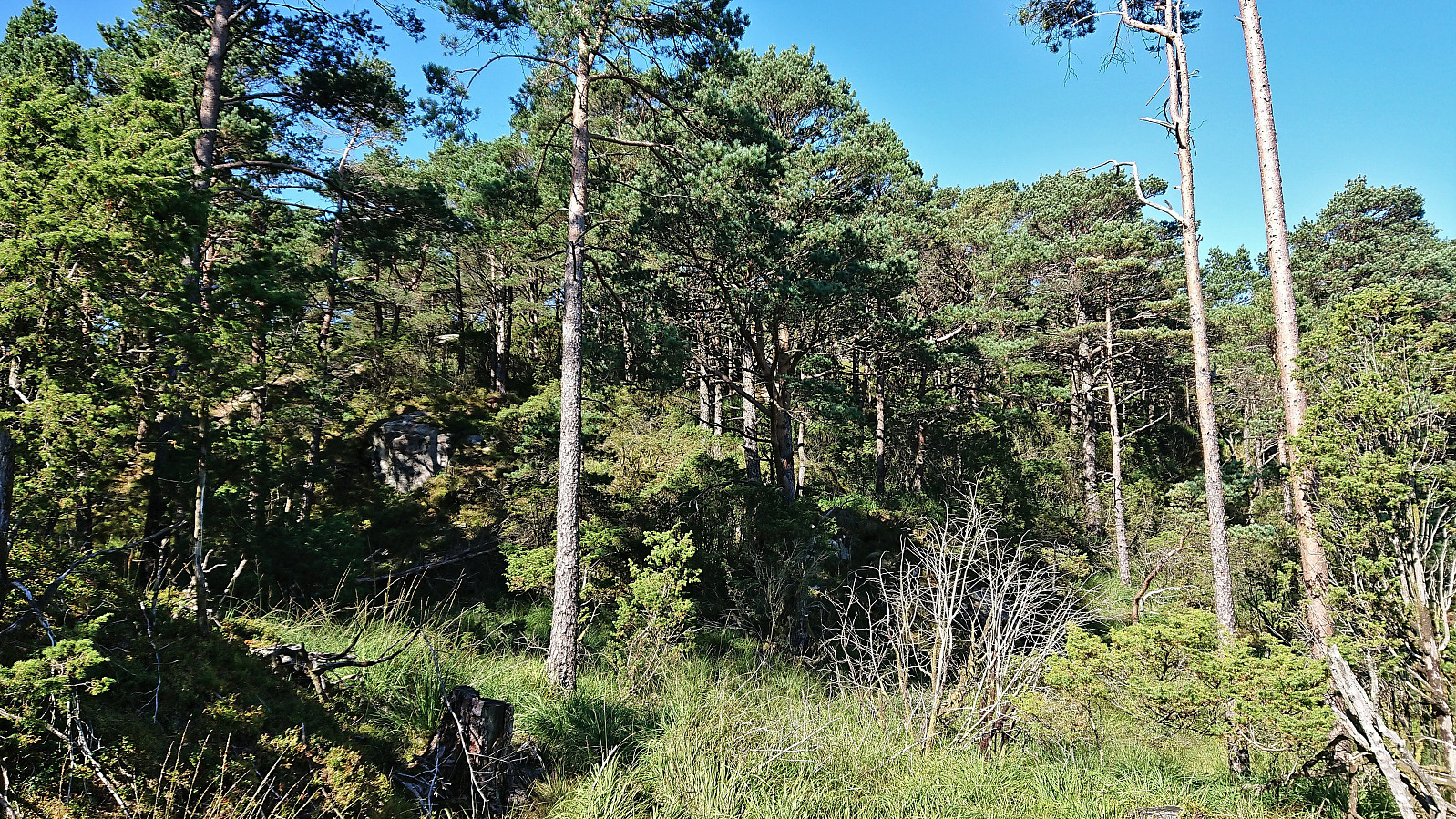
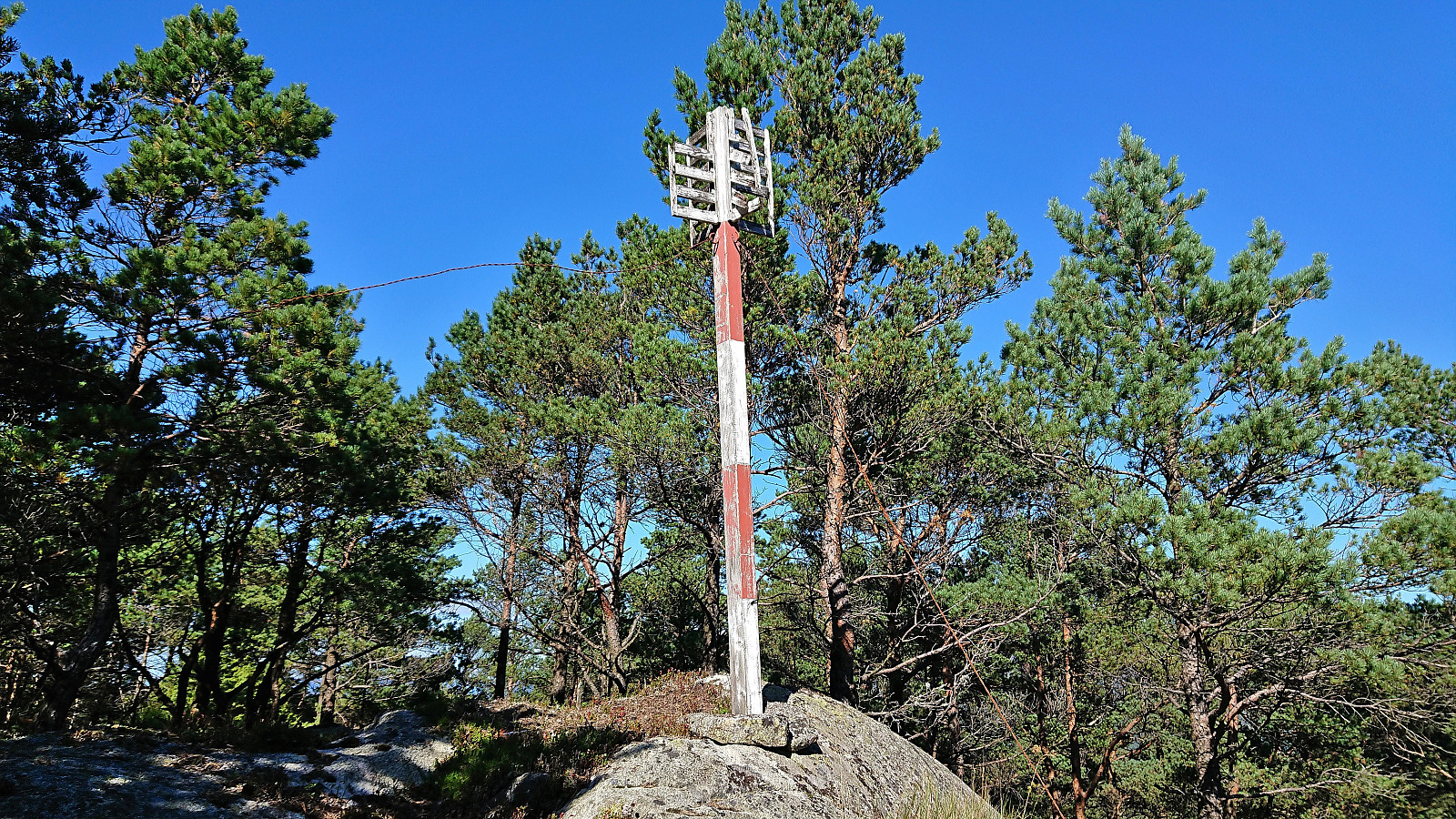
From Halhjem, I got on the ferry to Sandvikvåg and 45 minutes later I was finally ready to start the real trip. I first cycled along the main road via Fitjar to south of Storavatnet where I located the locked barrier to "Svartasmåget Miljø og Avfallsmottak". After navigating my bike around the barrier, I continued on the paved road to the tractor road south of Sætrafjellet. Here I left the bike behind and continued on foot towards the summit. I first ascended along the overgrown tractor road until almost at the slightly lower southeastern summit, only requiring a final short off-trail ascent, and quickly arrived at the still standing trig marker.
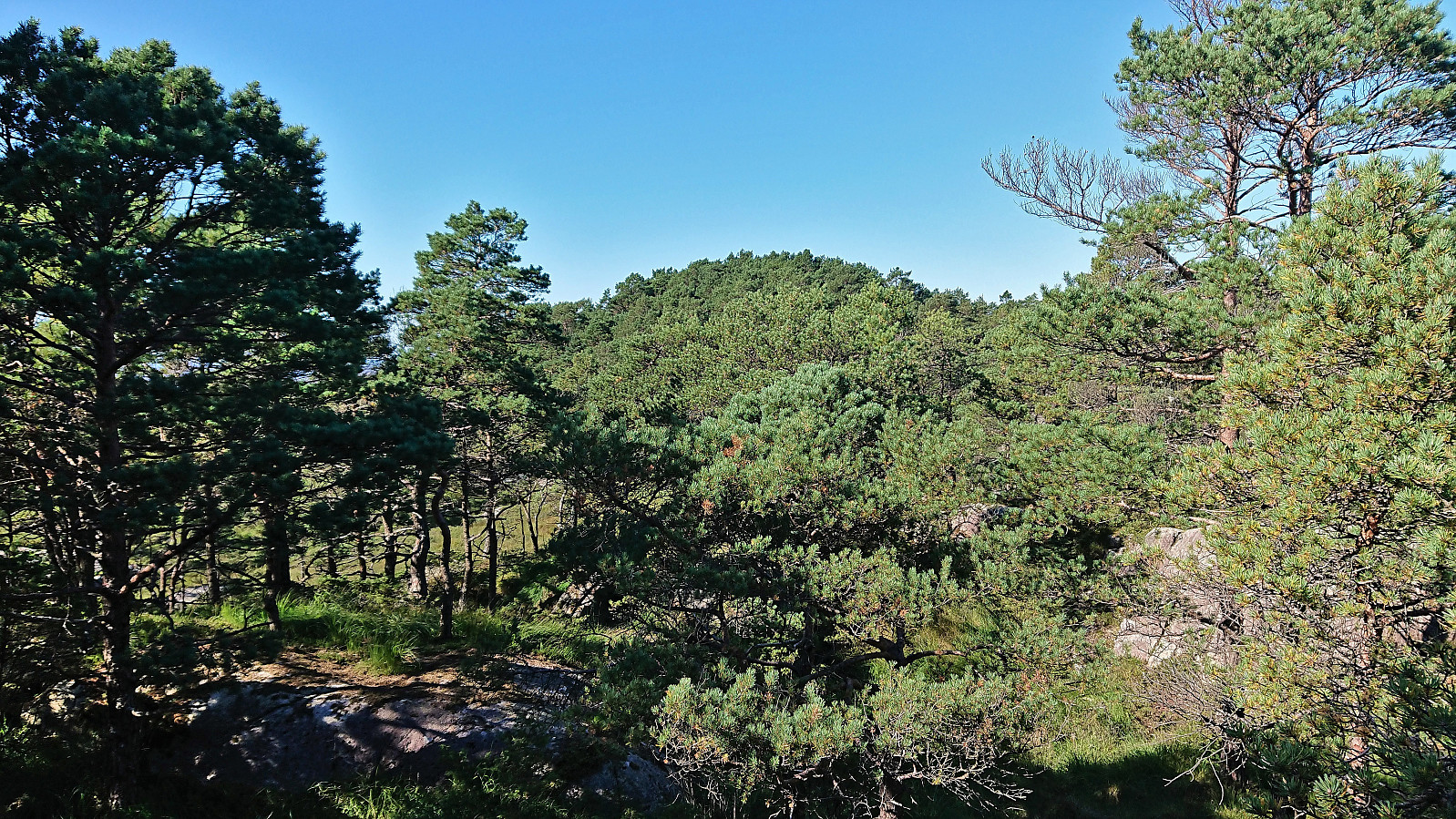
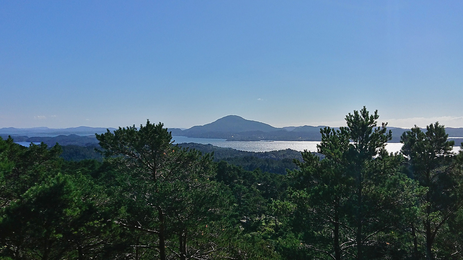
Next, I turned north towards the real summit, which was reached without any challenges besides trying to stay dry when crossing a wet area south of the summit. Somewhat better views from this location, at least Siggjo could be spotted in the distance, if not directly from the small cairn marking the highest point. No point in hanging around though, and I quickly returned along more or less the same route.
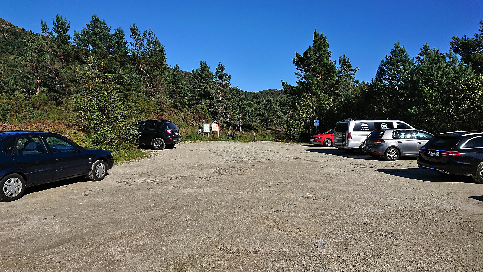
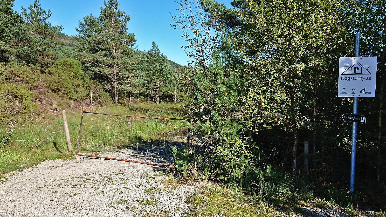
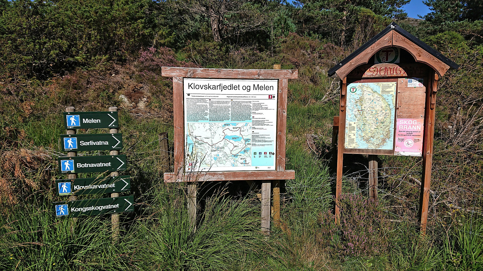
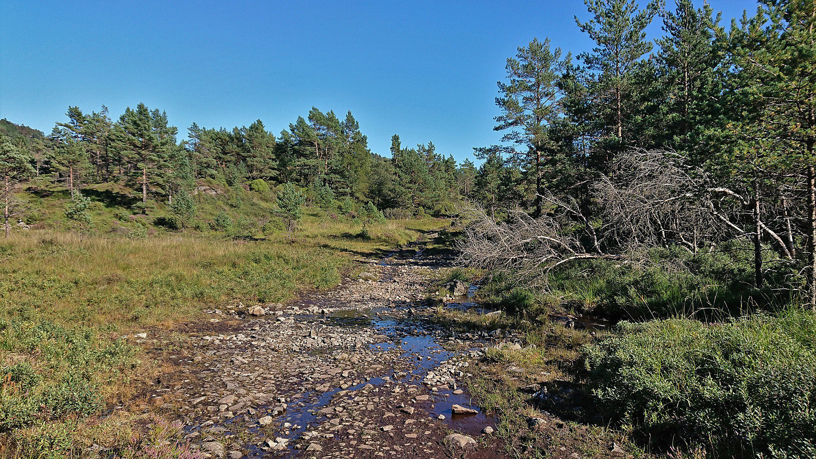
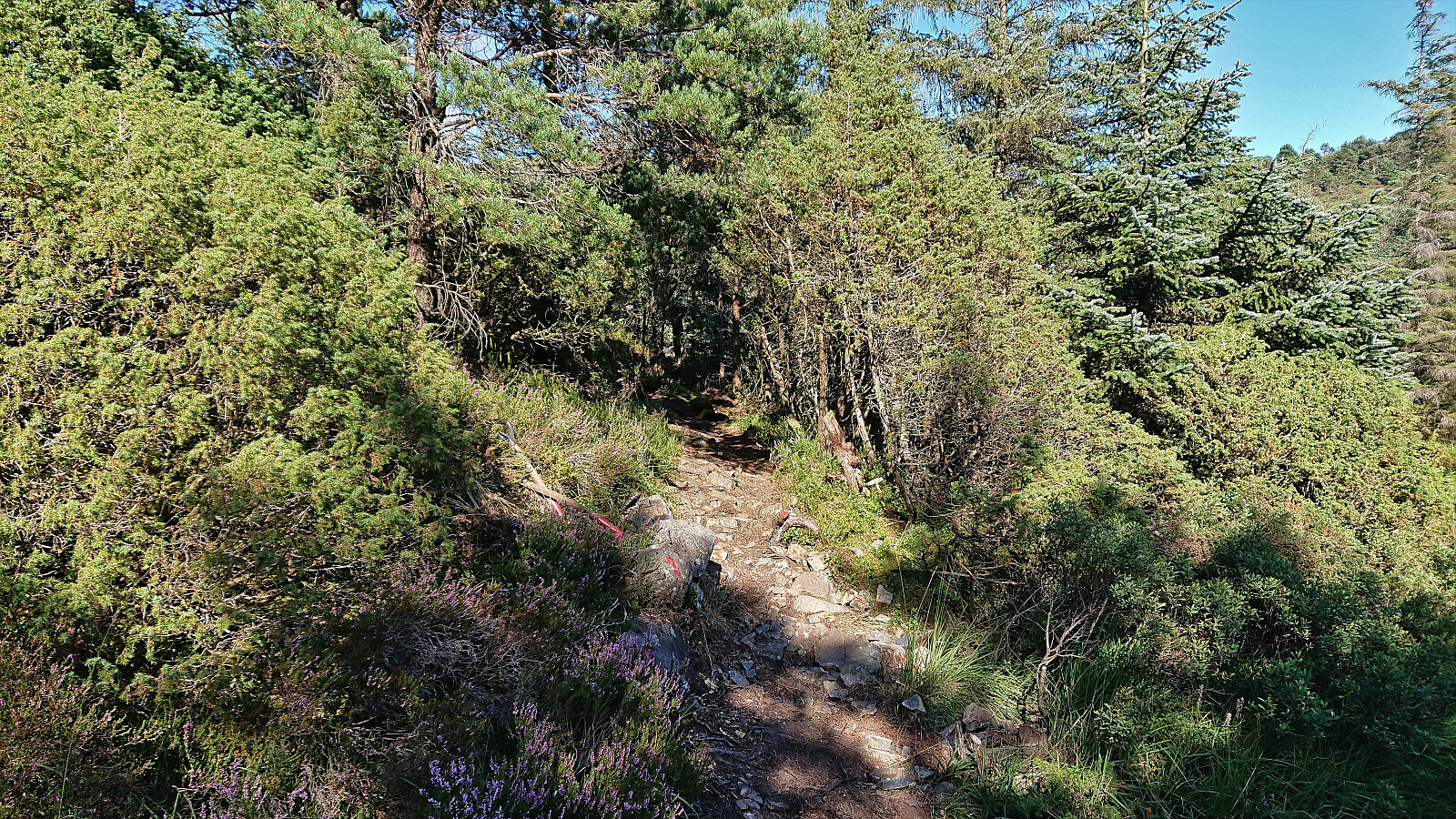
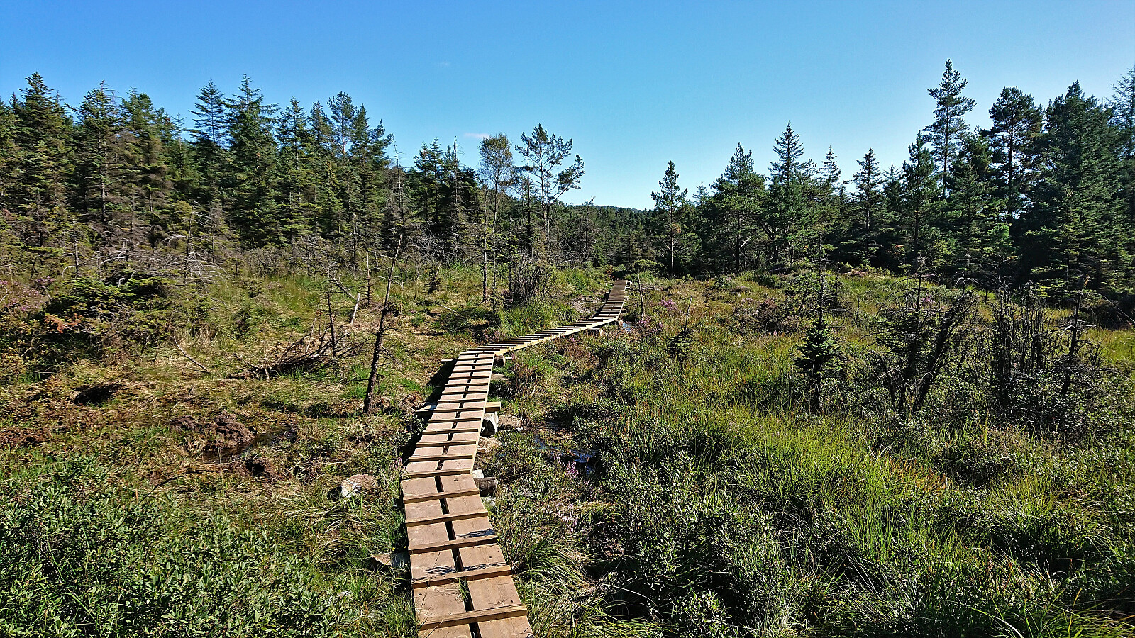
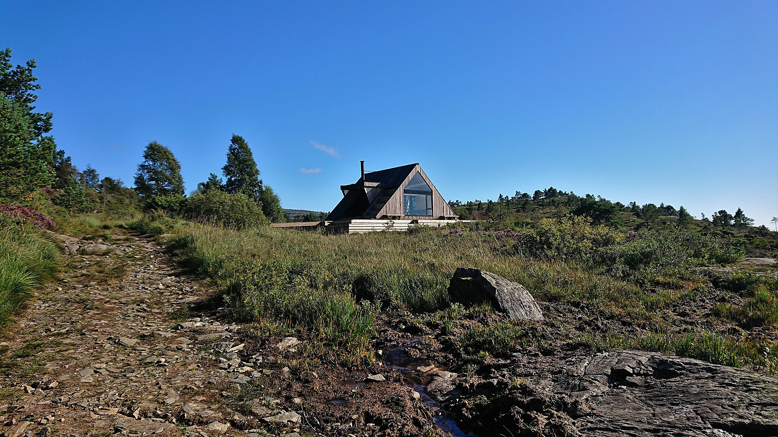
Back on the bike, I still had time to spare and decided to also include a quick visit of Tveitaslottet. I returned north to the marked trailhead at the parking lot at Dalshaugane where I again left the bike and continued on foot. Note that it is probably possible to cycle all the way to Tveitaslottet, but as the tractor road was quite rough and muddy, this would definitely require better mountain biking skills than mine.
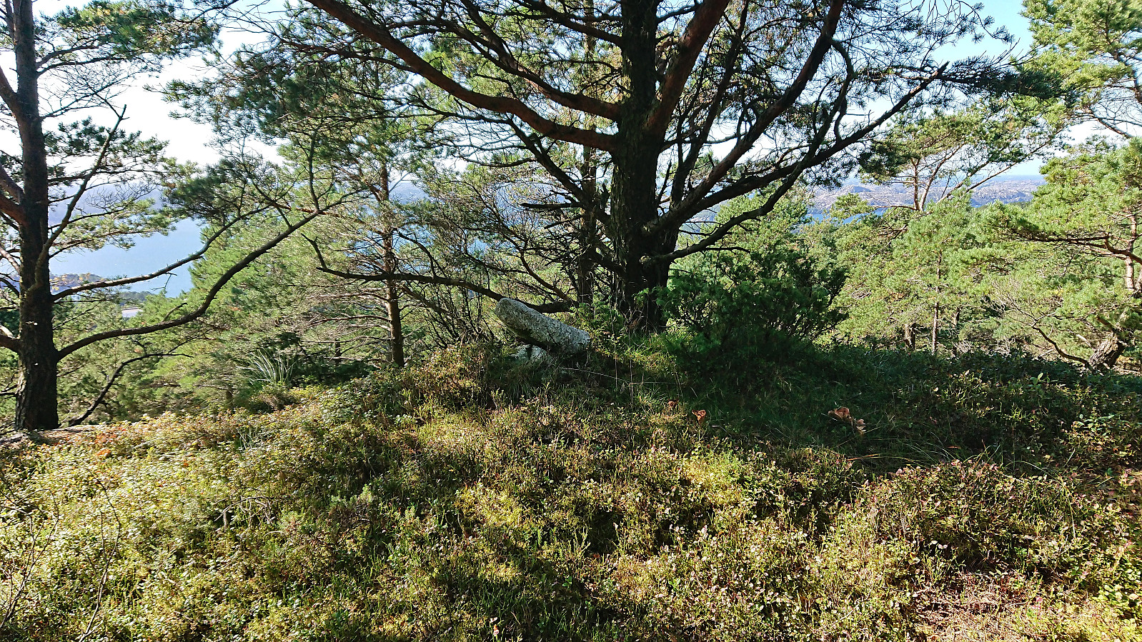
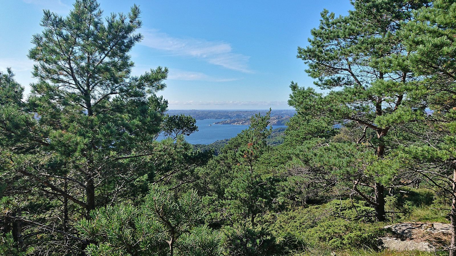
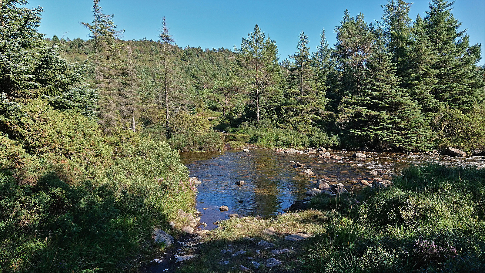
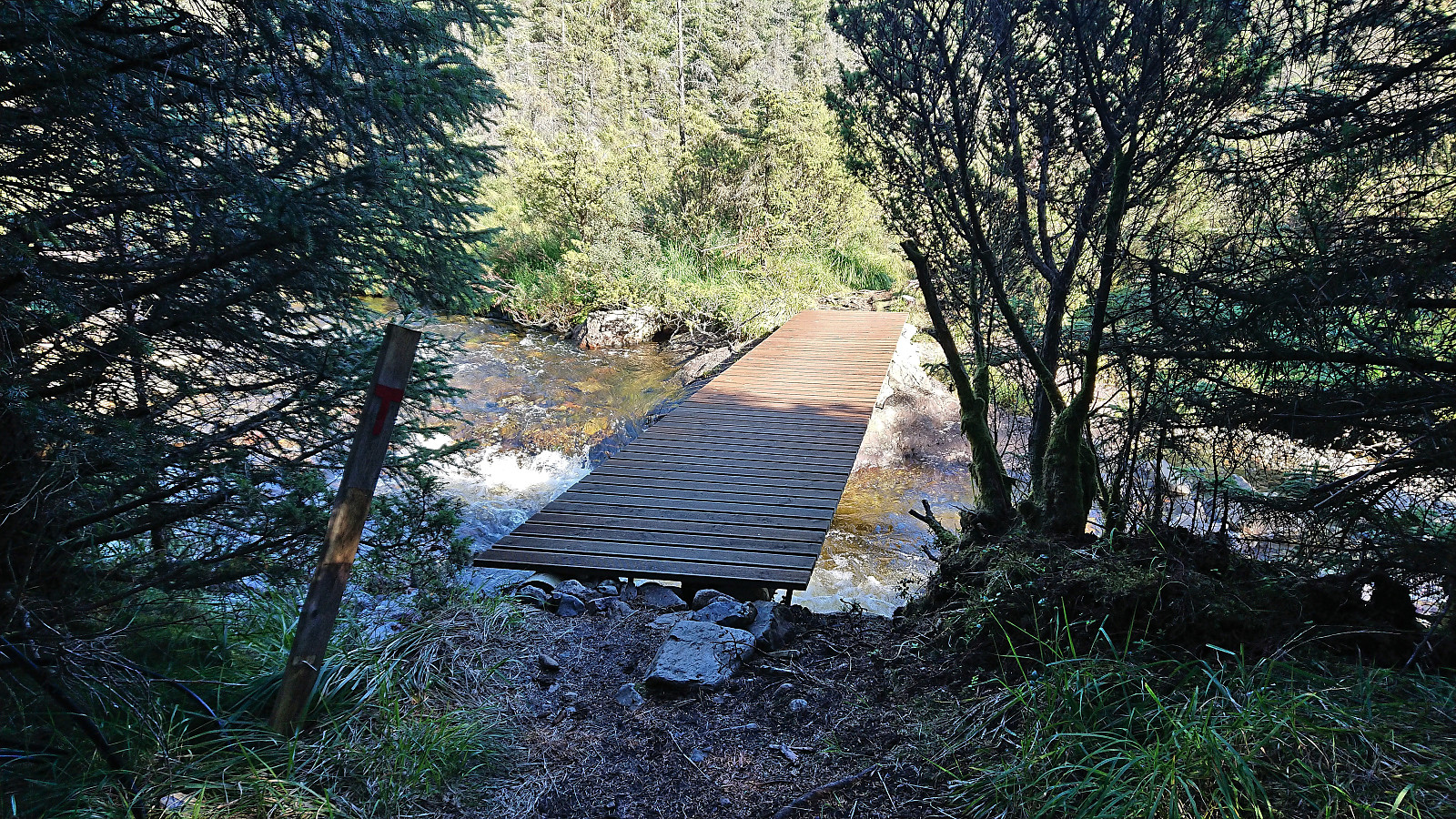
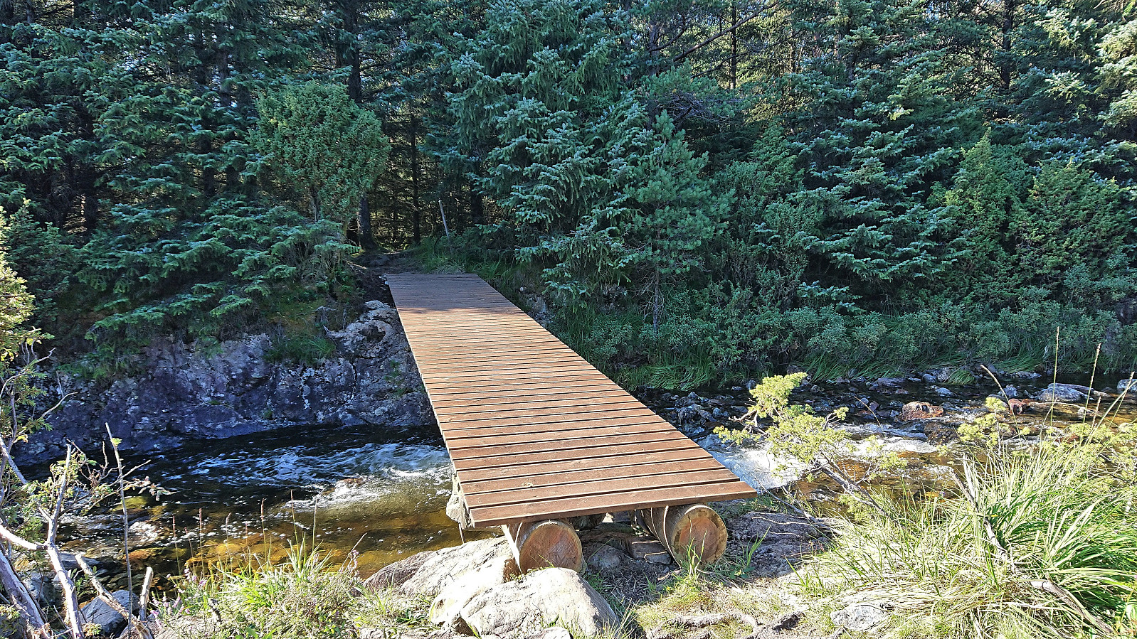
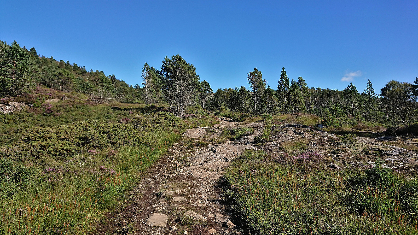
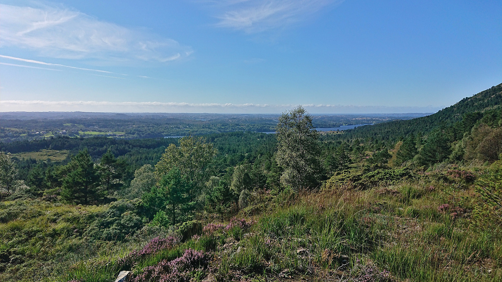
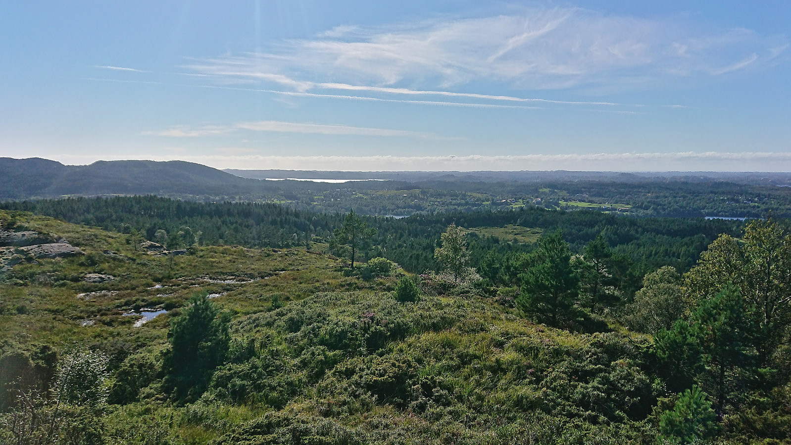
On the way to Tveitaslottet there is also a river that has to be crossed. The tractor road heads directly across the river without a bridge. But before taking of your shoes and wading across, be sure to check out the foot bridge just 50 meters to the north. I soon arrived at Tveitaslottet and briefly enjoyed the excellent views west and northwest before returning along the same route. Back on the bike, all that remained was to return to Sandvikvåg for the ferry back to Halhjem.
To conclude, a nice short trip that made the brief visit of Sætrafjellet a lot more interesting. But while Sætrafjellet can be ascended quite easily, it is clearly more of an acquired taste and not something most hikers will see the point of doing. Much better to instead visit Tveitaslottet and enjoy its excellent views.
| Starttidspunkt | 28.08.2022 13:45 (UTC+01:00 ST) |
| Sluttidspunkt | 28.08.2022 17:48 (UTC+01:00 ST) |
| Totaltid | 4t 02min |
| Bevegelsestid | 3t 48min |
| Pausetid | 0t 14min |
| Snittfart totalt | 9,9km/t |
| Snittfart bevegelsestid | 10,5km/t |
| Distanse | 40,1km |
| Høydemeter | 839m |

Kommentarer