Nesheimsnipa from Bergo (31.07.2022)

| Startsted | Bergo (416moh) |
|---|---|
| Sluttsted | Bergo (416moh) |
| Turtype | Fjelltur |
| Turlengde | 2t 51min |
| Distanse | 7,8km |
| Høydemeter | 691m |
| GPS |
|
| Bestigninger | Nesheimsnipa (1035moh) | 31.07.2022 |
|---|---|---|
| Andre besøkte PBE'er | Gygrakjeften (594moh) | 31.07.2022 |
Nesheimsnipa from Bergo
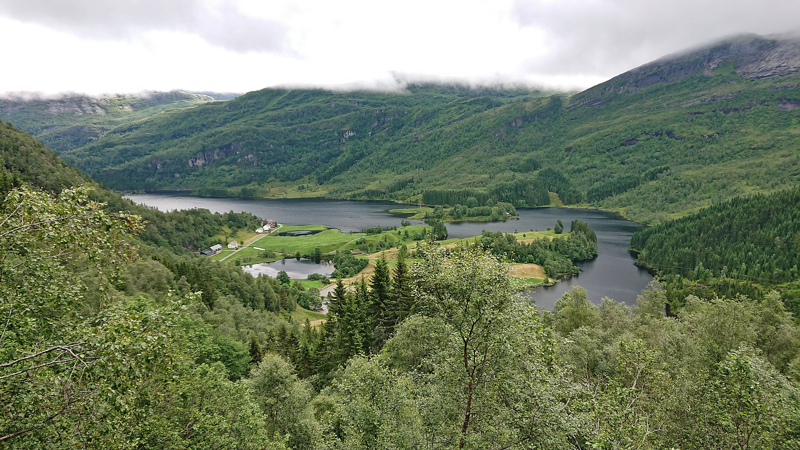
After our visit of Storhaug, me and Petter drove the short distance to Bergo, where I had come across information that there was supposed to be a marked trail that would take us all the way to the top of Nesheimsnipa, or Blånipa as it is also referred to. This trail is also being used as part of an uphill race called Gygrakjeften Opp. Finally, I noticed that Vaksdal turlag was organizing a hike to Nesheimsnipa using the same trail a couple of weeks later. Hence the trail could not be all that bad.
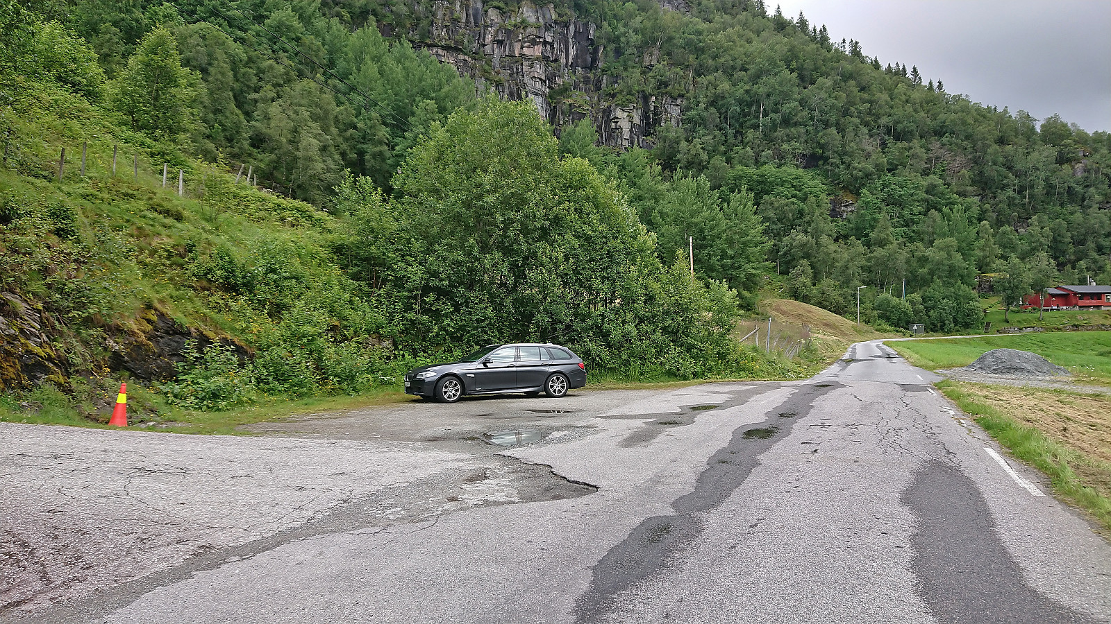
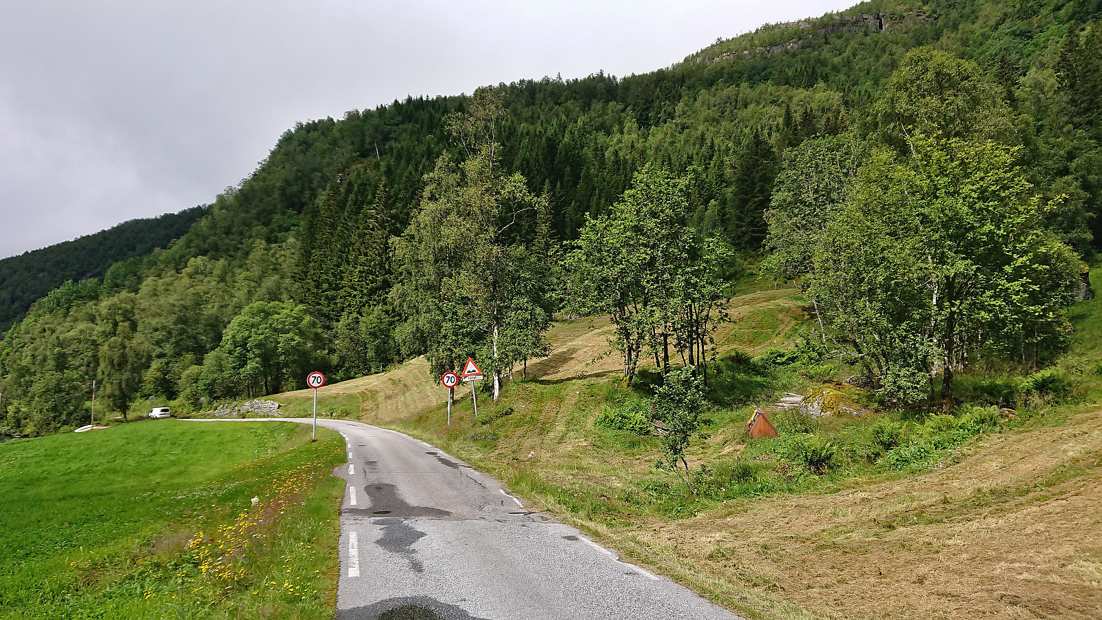
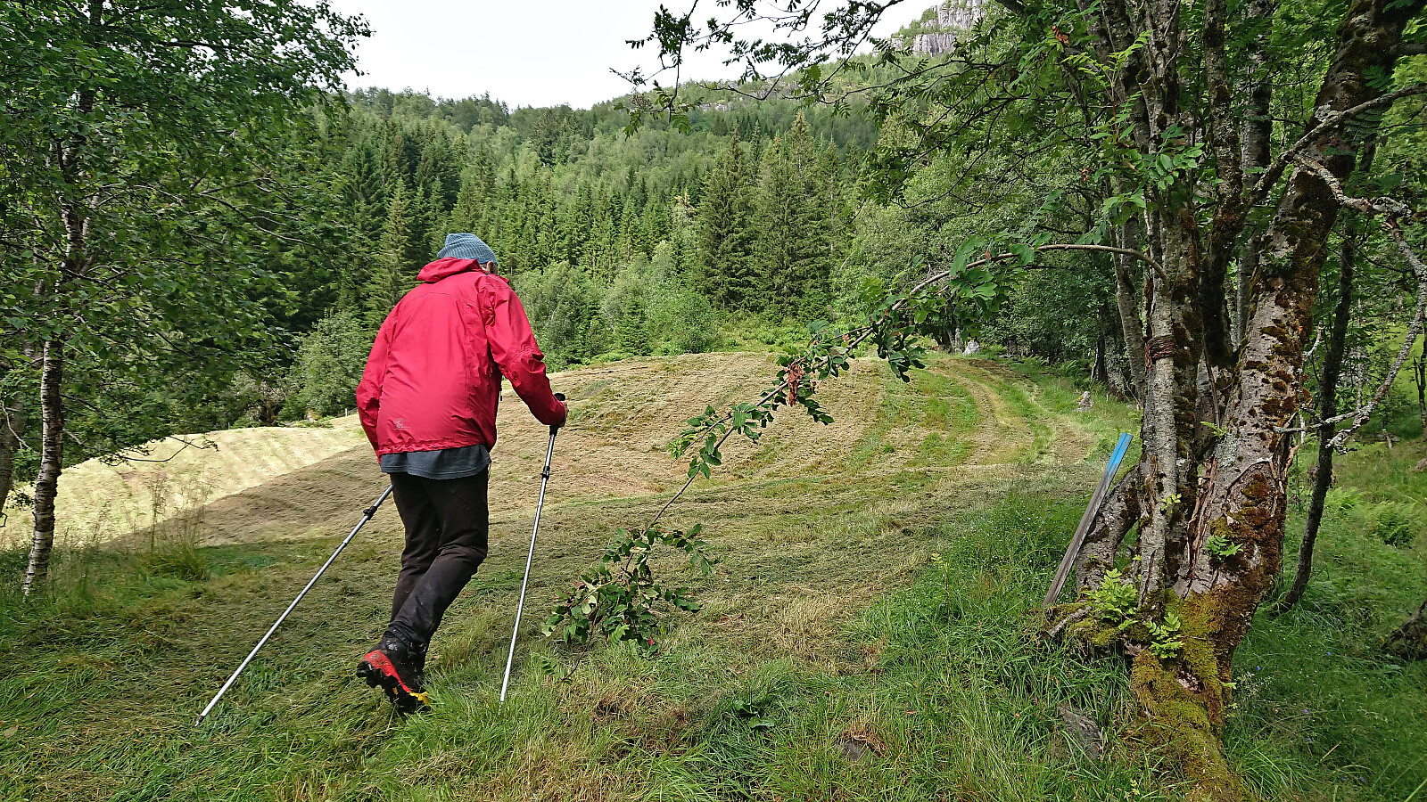
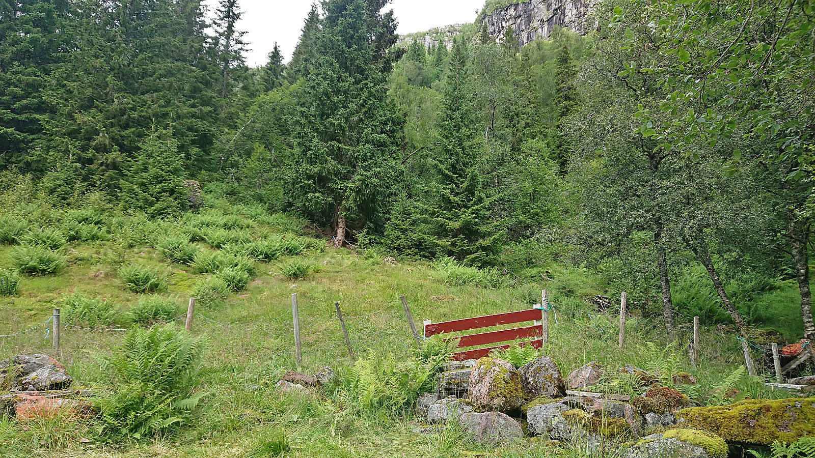
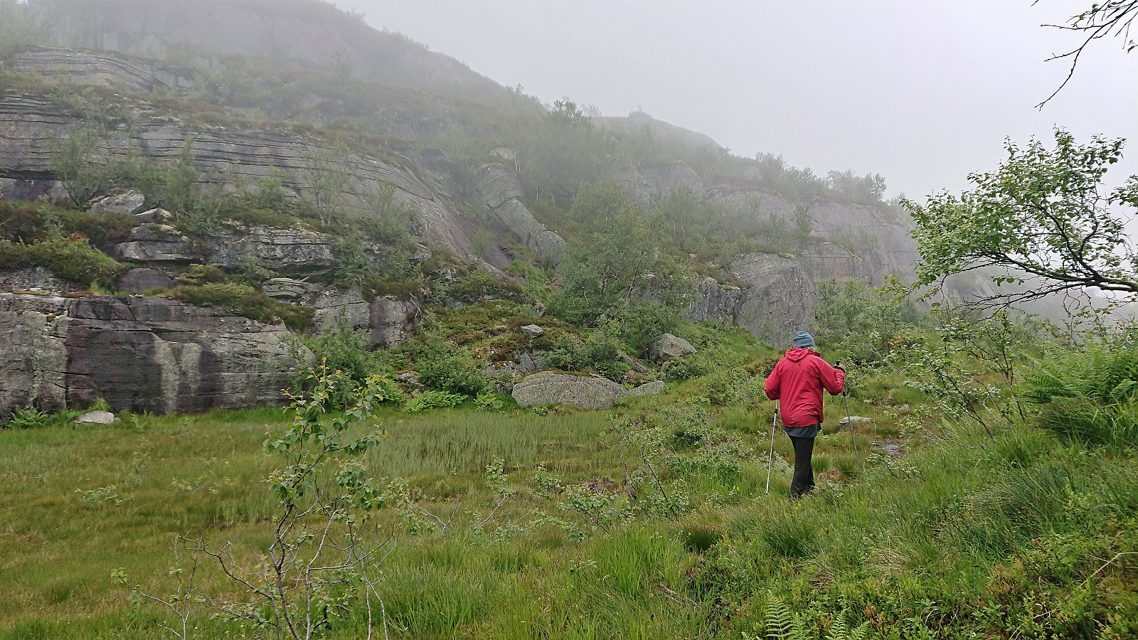
We therefore parked at a small parking lot next to Eksingsdalen skule opposite a football field. From there we walked less than 200 meters west along the road to the unmarked trailhead (or rather on closer inspection there was one partly hidden blue trail marker, but no sign). Here we started up the short tractor road, followed the outskirts of the field north and passed through a gate where the marked trail began. The trail was quite steep, but easy to follow and we soon arrived at what the above-mentioned information refers to as Mjelkeplassen (although not indicated on the map).
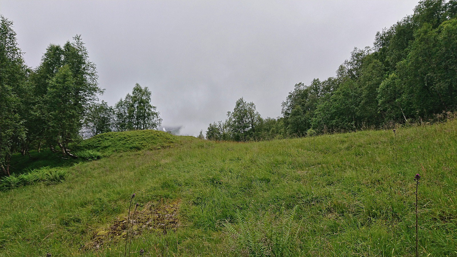
From Mjelkeplassen, the goal of Gygrakjeften Opp, we continued upwards on the marked trail to Seterhaugen/Sæterhaugen (or I assume so, as again the name is not shown on the map) where the trail split. Here it is apparently possible to follow marked trails to either Yksendalstølen or Nesheimsnipa. No signs though, so we simply picked the option that seemed to be heading in the direction of Nesheimsnipa and turned right.
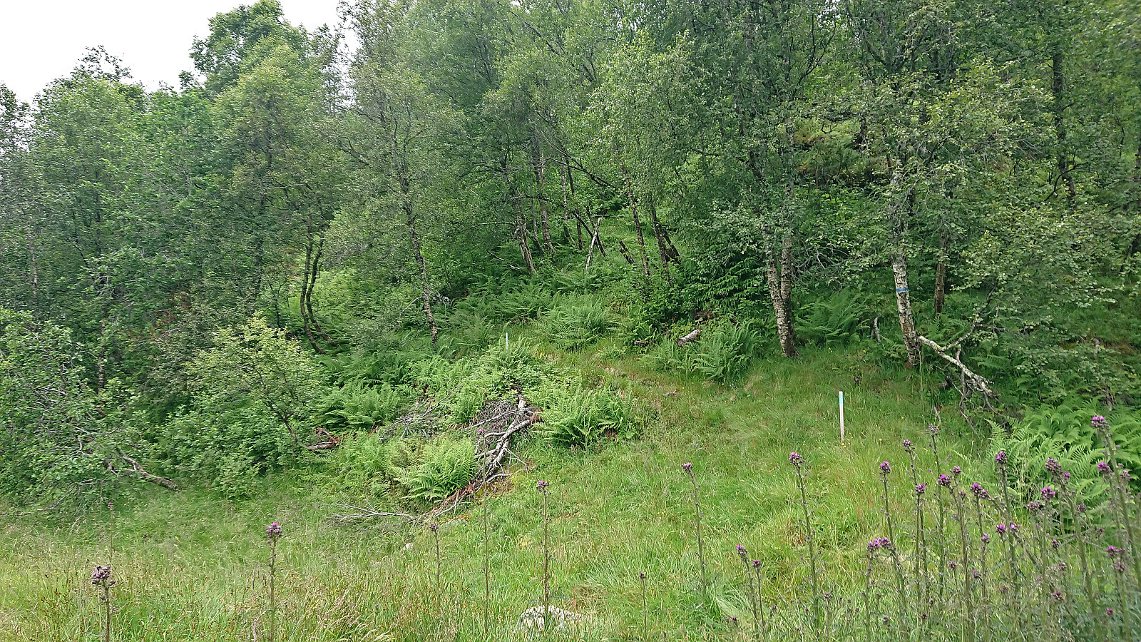
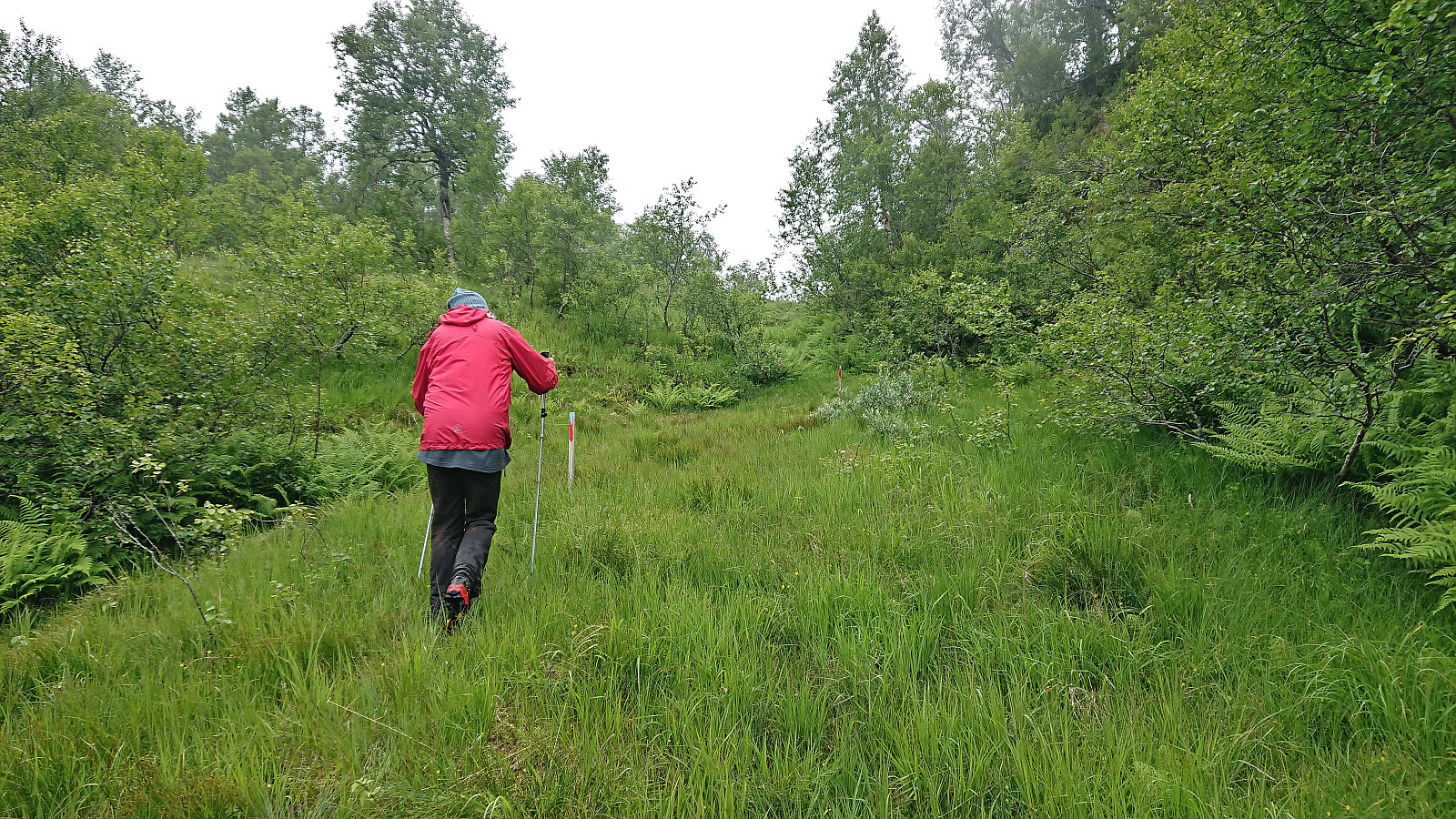
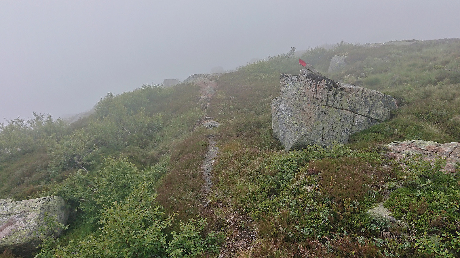
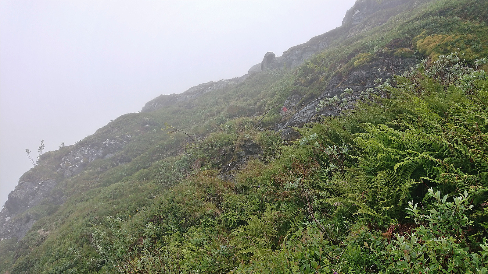
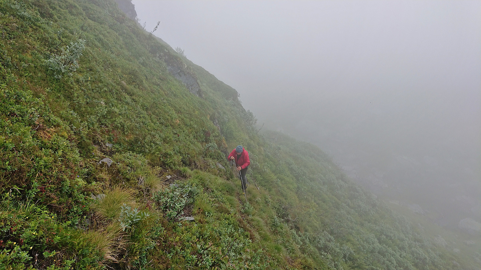
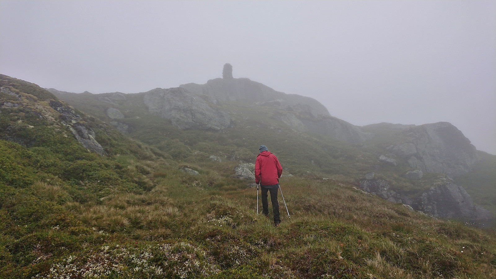
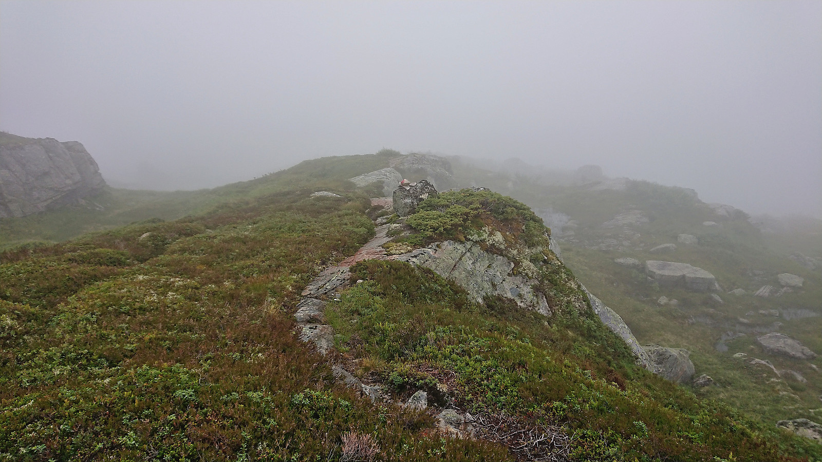
The marked trail was overall easy to follow and came in very handy when traversing a steep section east of Breidbekktjørni where the trail made some turns to avoid the steepest areas that it would have taken us a lot longer to figure out on our own. As we approached the steep scrambling section less than 500 meters west of the summit we lost the trail in the thickening fog.
But just as we were about to start the climb we came across a single red marker, hence we were at least ascending more or less at the correct location. After a short off-trail scramble we noticed a second red marked and soon the trail also reappeared, resulting in a steep but straightforward ascent.
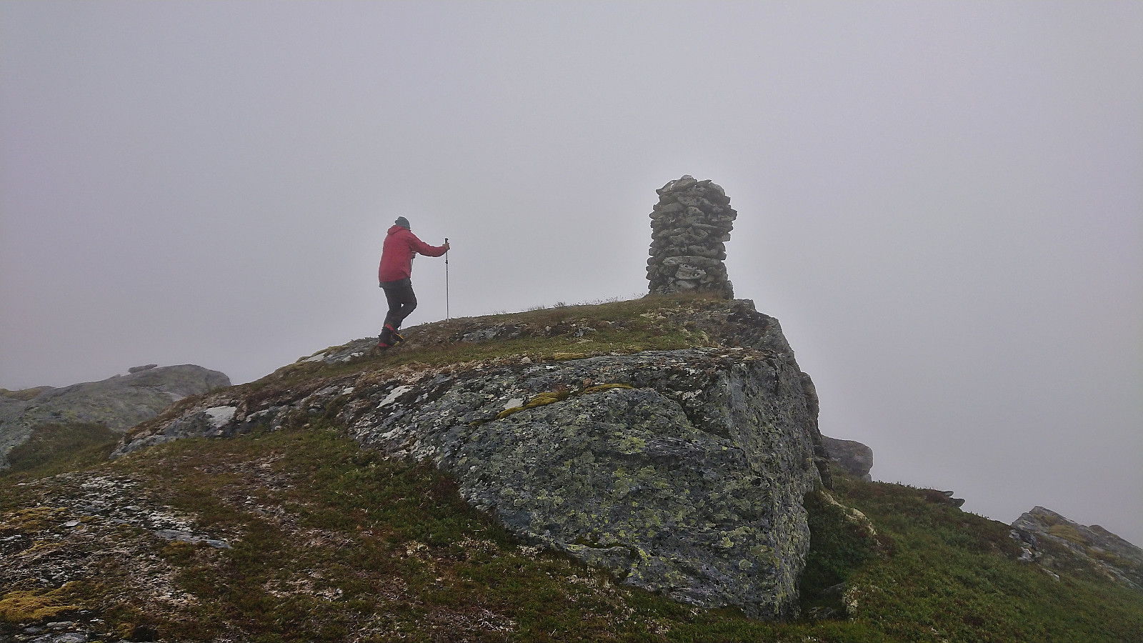
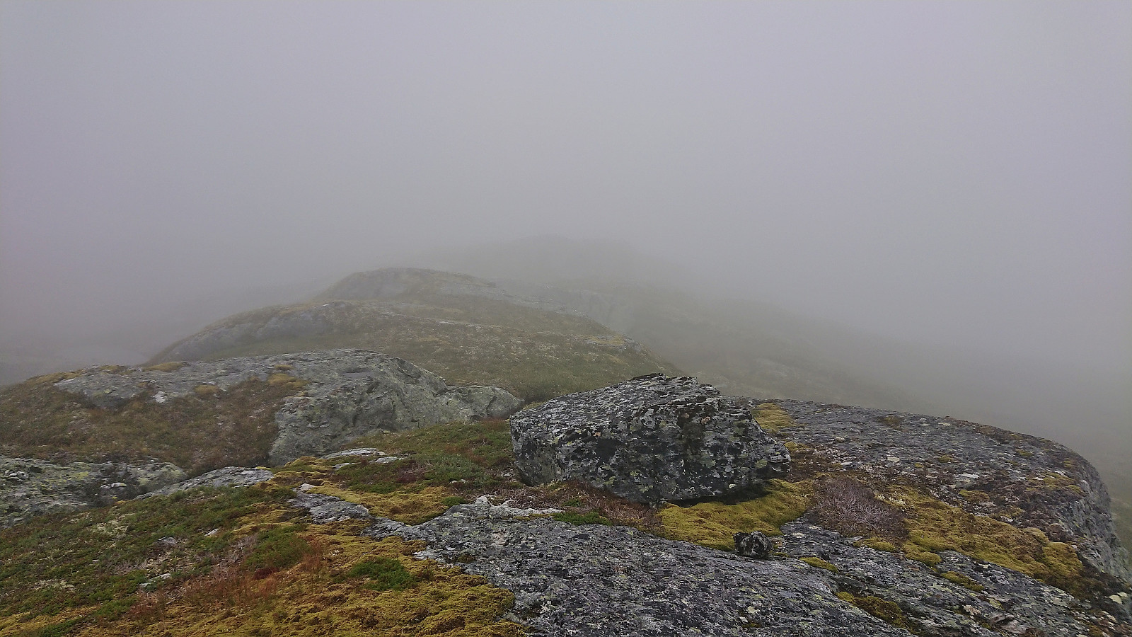
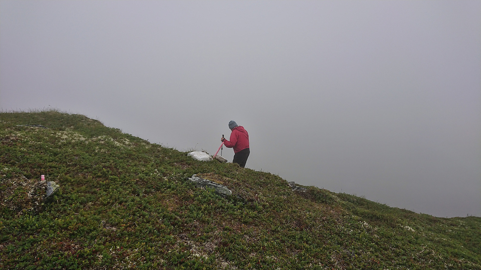
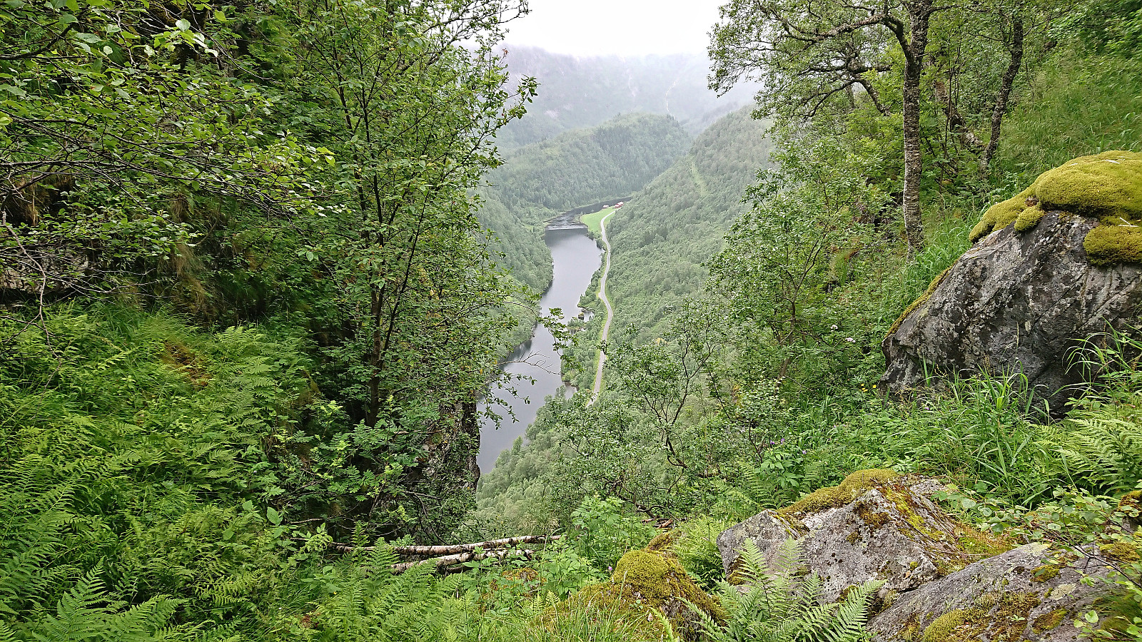
On our way from the top of the scramble section to the large cairn marking the summit, we again lost the trail. The direction was however now pretty obvious and there were no more steep sections. The summit was thus finally reached without any issues. Again we cannot comment much on the view, as most of it was covered by the thick fog. We therefore did not stay long before returning along the same route, with the only exception being a short detour to enjoy the excellent views at Gygrakjeften.
In summary, the marked trail from Bergo does take you all the way to the summit of Nesheimsnipa and can definitely be recommended. Do also make sure to check out the views from Gygrakjeften as it is only around 50 meters from the marked trail.
| Starttidspunkt | 31.07.2022 12:04 (UTC+01:00 ST) |
| Sluttidspunkt | 31.07.2022 14:55 (UTC+01:00 ST) |
| Totaltid | 2t 51min |
| Bevegelsestid | 2t 49min |
| Pausetid | 0t 2min |
| Snittfart totalt | 2,7km/t |
| Snittfart bevegelsestid | 2,8km/t |
| Distanse | 7,8km |
| Høydemeter | 690m |

Kommentarer