Vardefjellet and Kalnesnuten from Mjanger (27.07.2022)

| Start point | Mjanger (20m) |
|---|---|
| Endpoint | Mjanger (20m) |
| Characteristic | Hillwalk |
| Duration | 4h 26min |
| Distance | 12.3km |
| Vertical meters | 759m |
| GPS |
|
| Ascents | Vardefjellet (511m) | 27.07.2022 |
|---|---|---|
| Visits of other PBEs | Kalnesnuten (471m) | 27.07.2022 |
| Mjangerssetret (355m) | 27.07.2022 |
Vardefjellet and Kalnesnuten from Mjanger
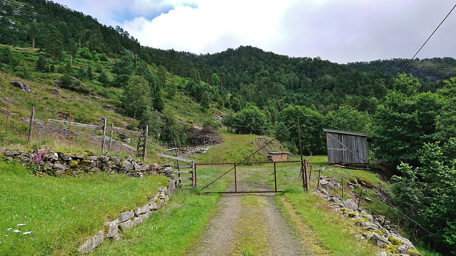
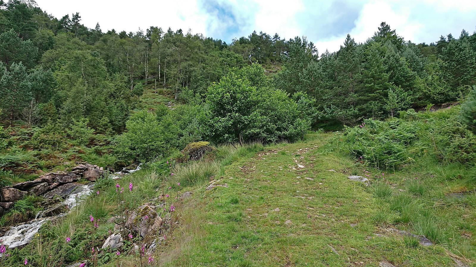
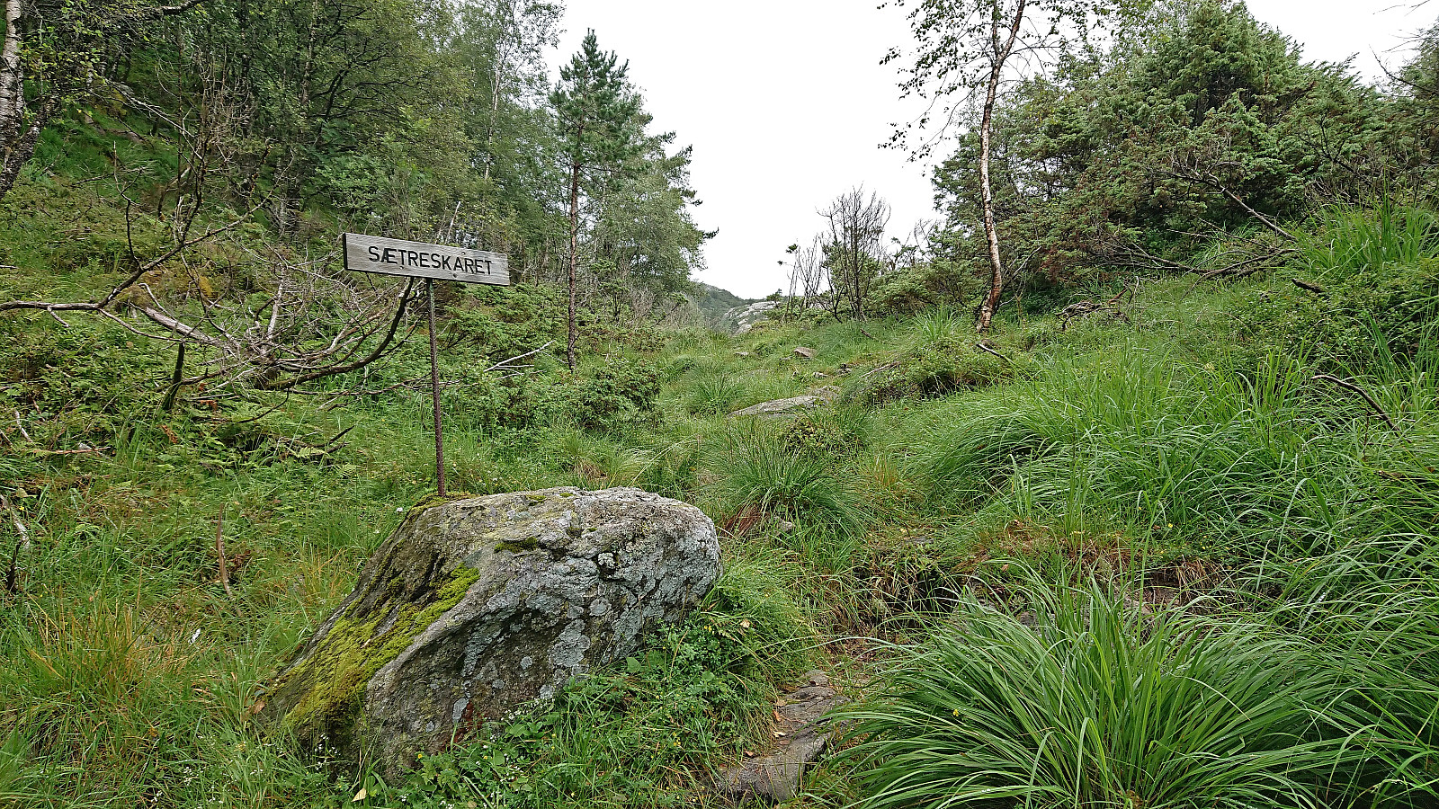
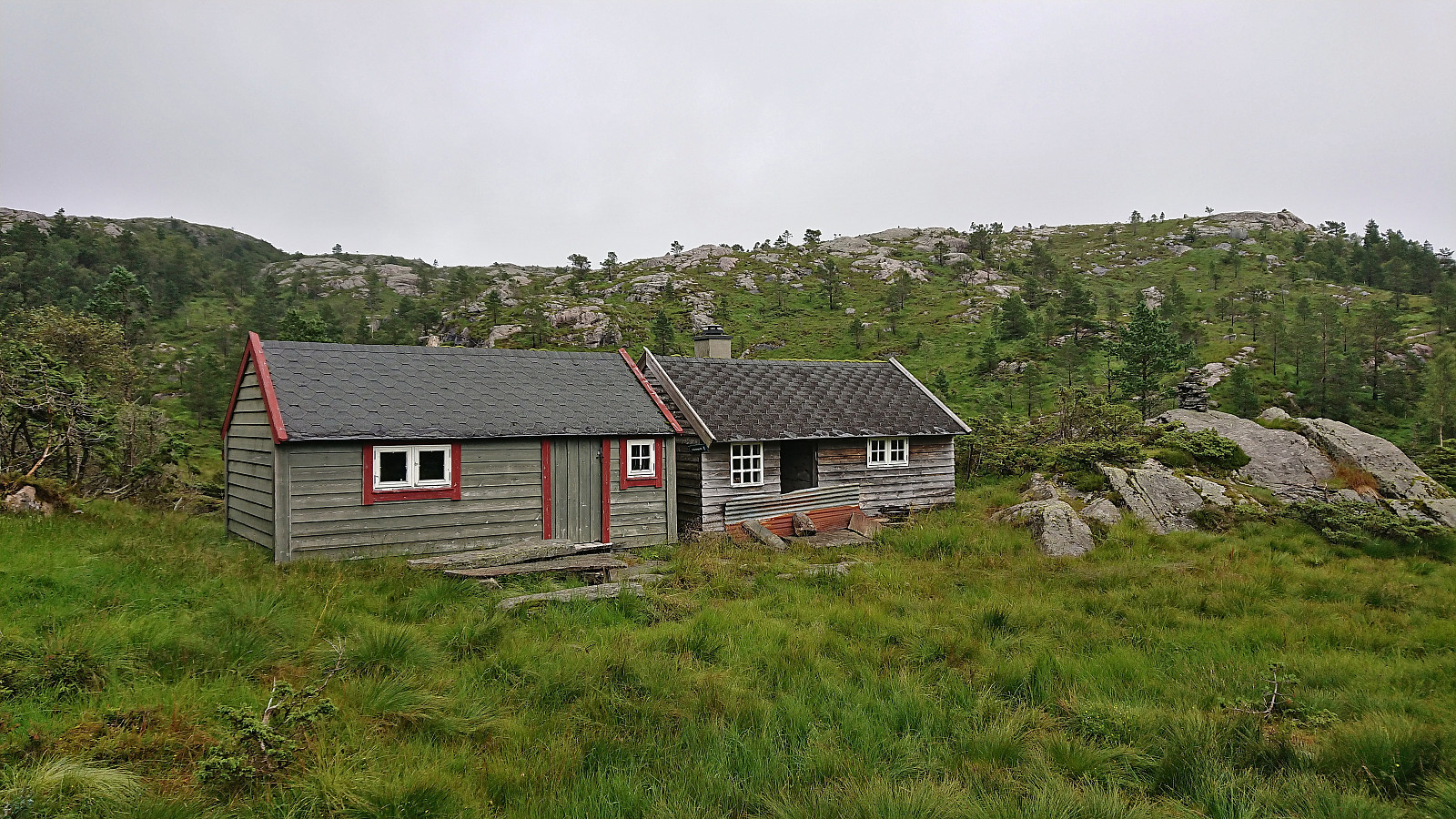
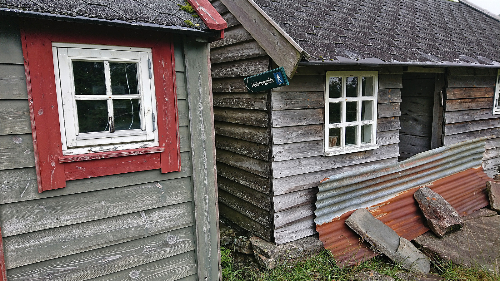
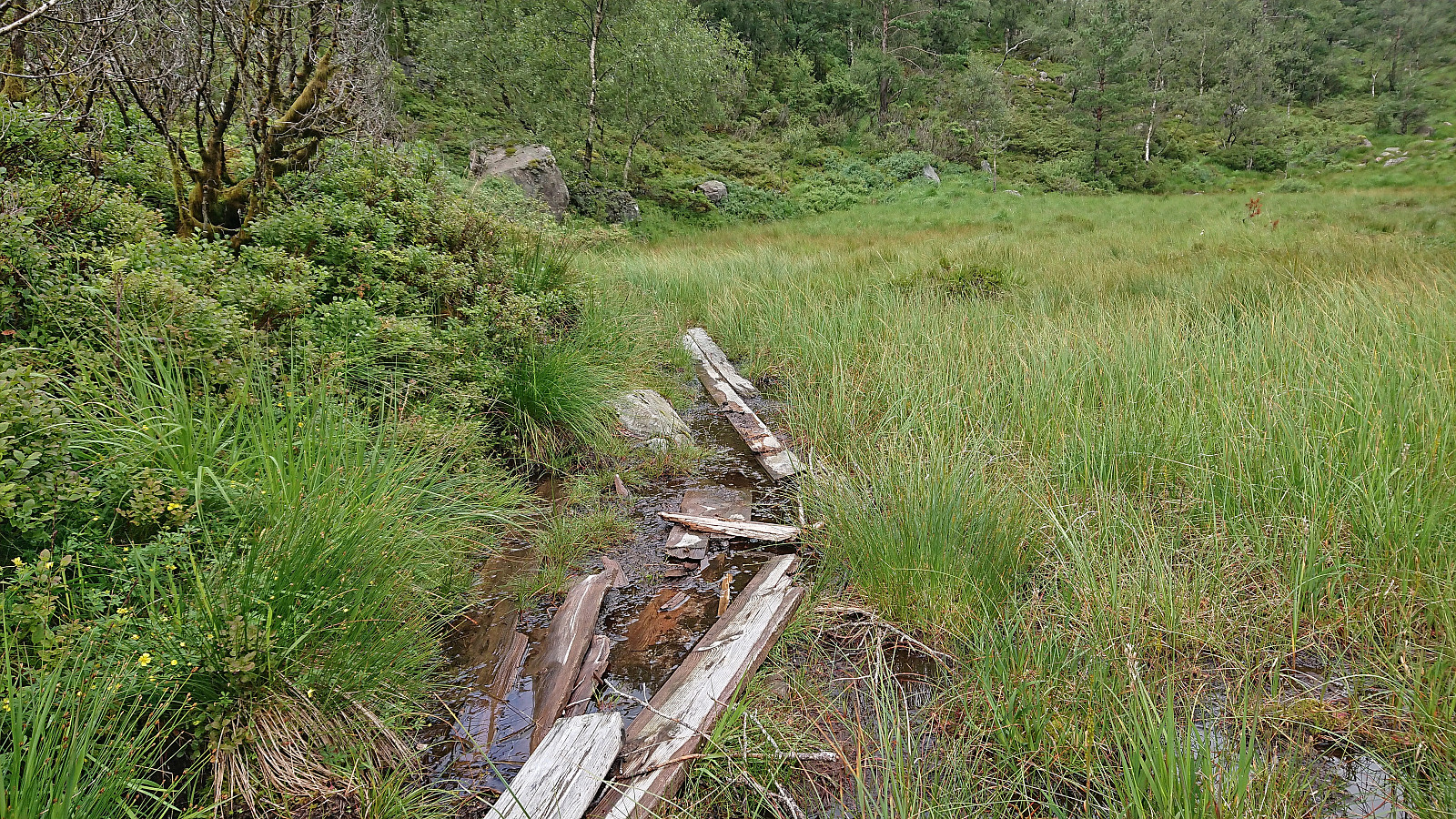
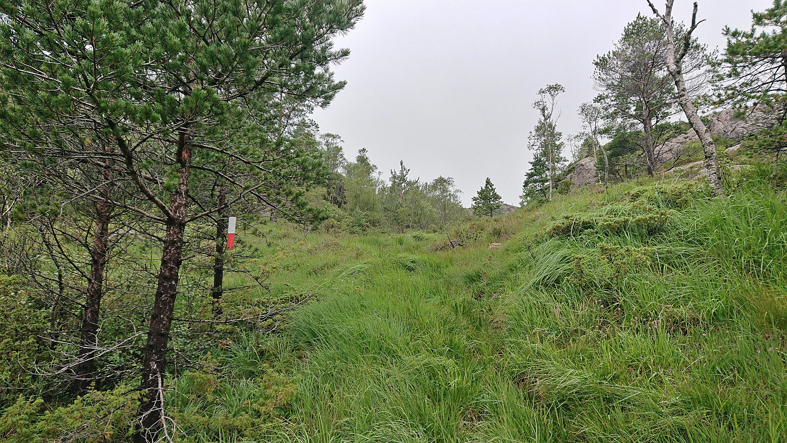
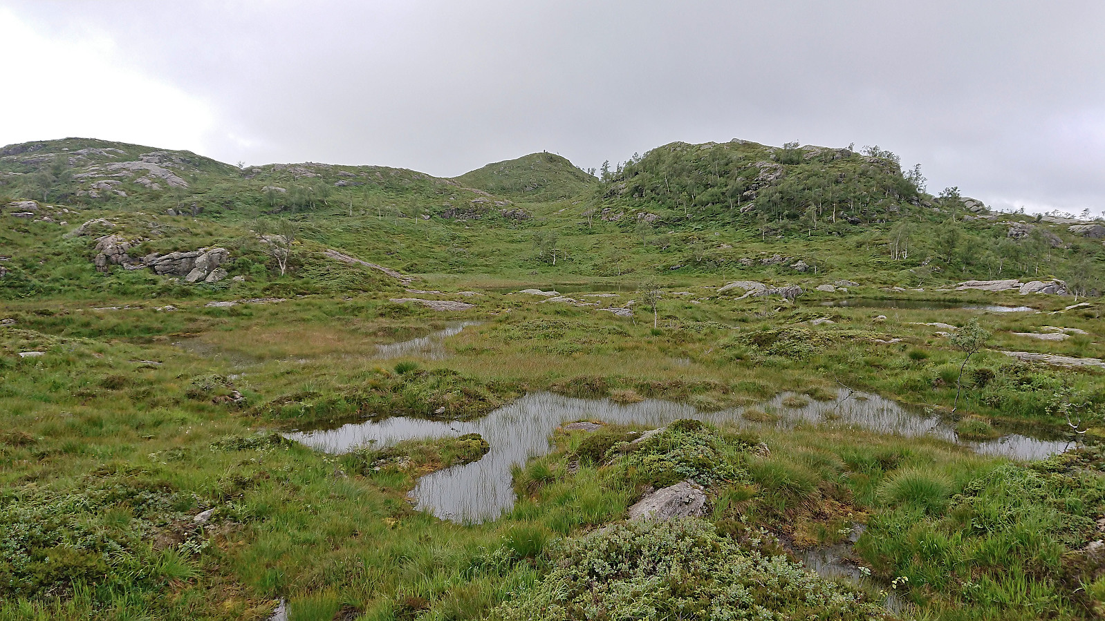
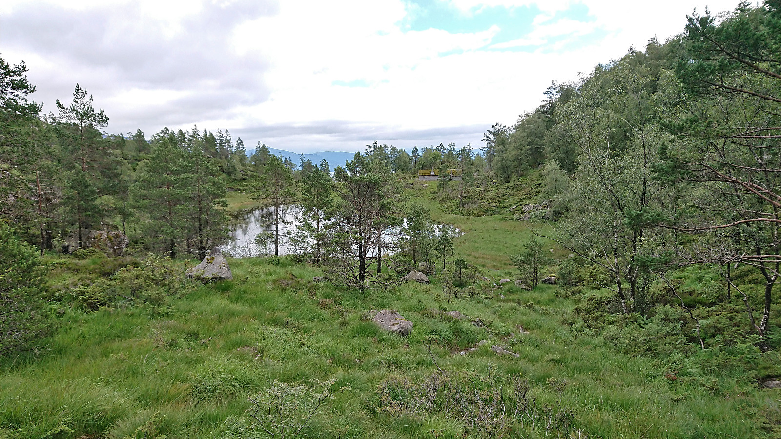
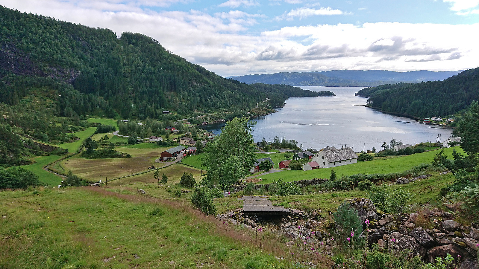
I started by taking the bus to Mjanger and got off at the stop "Mjanger, vest". After a short walk along the road in between the houses I passed through a gate and continued north on a tractor road that later turned in to a trail taking me all the way to Mjangerssetret. Here there was a trail sign for Hellebergsåta, but even though there were a couple of trail markers early on, the trail quickly disappeared and I was left finding my own way.
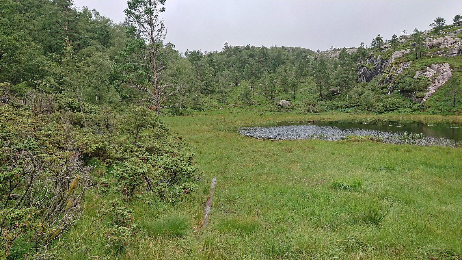
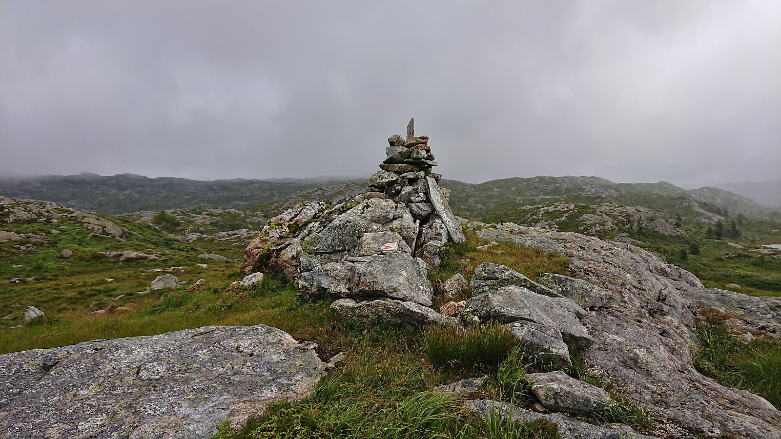
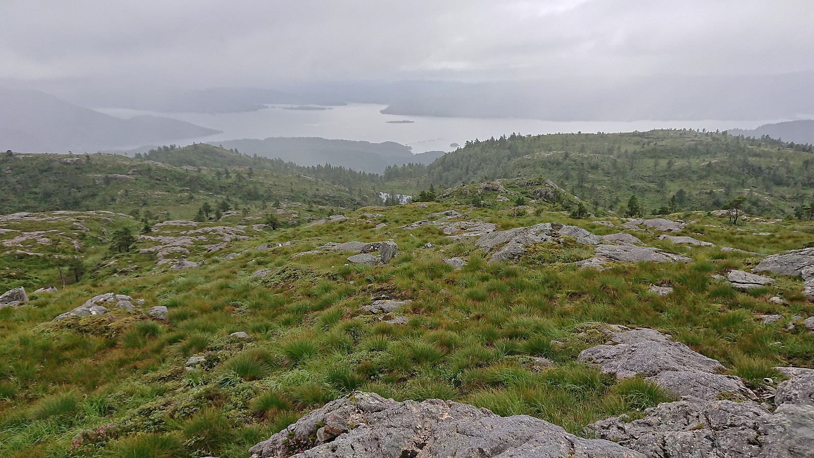
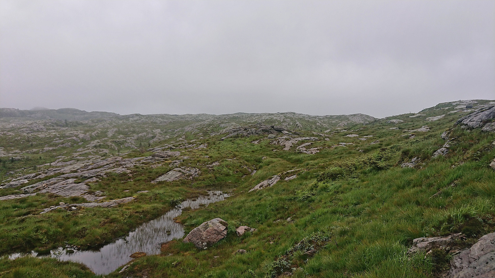
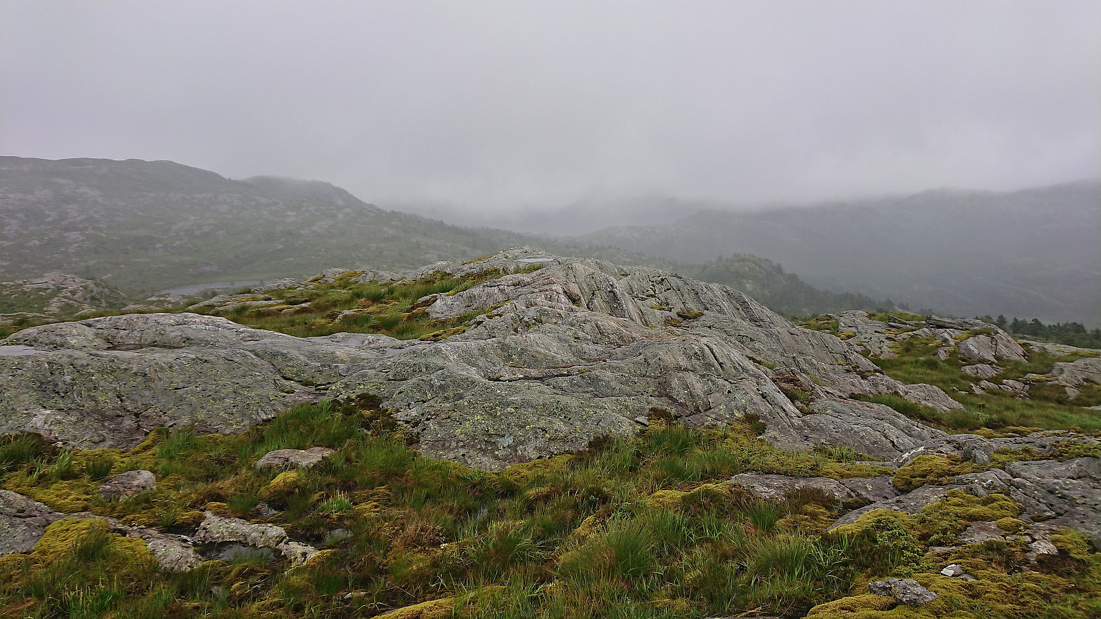
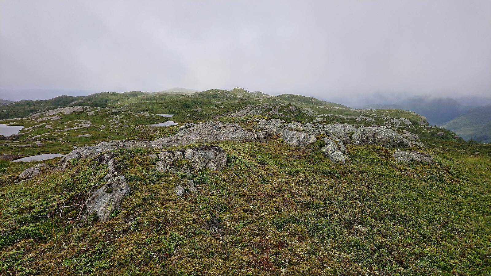
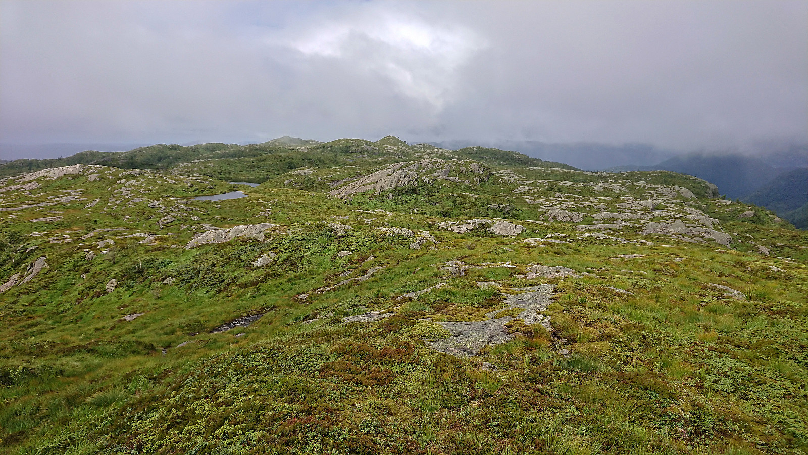
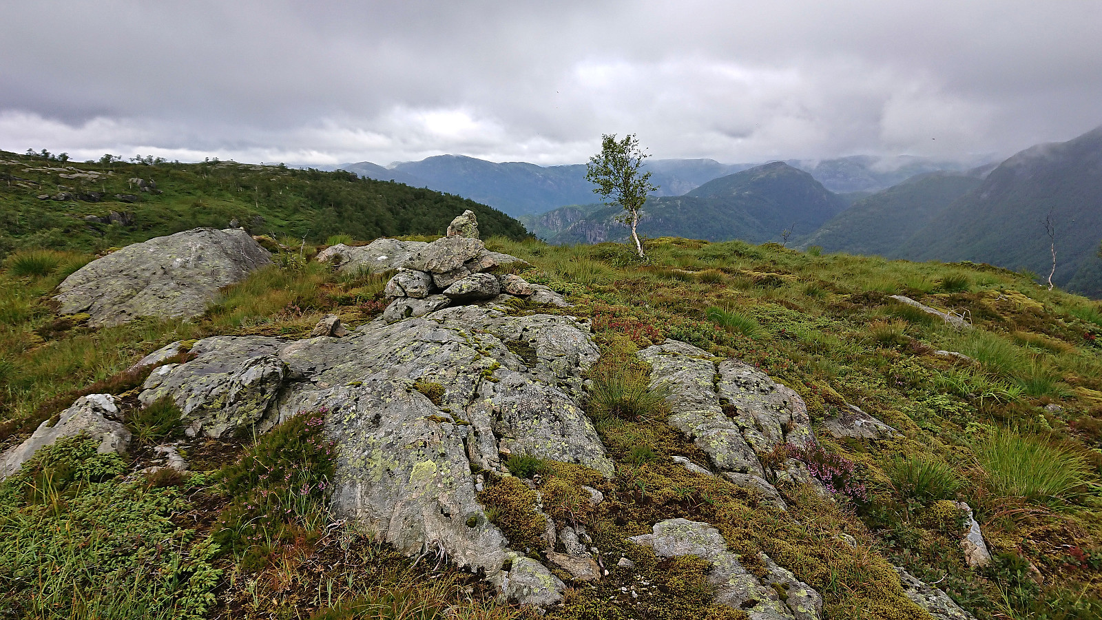
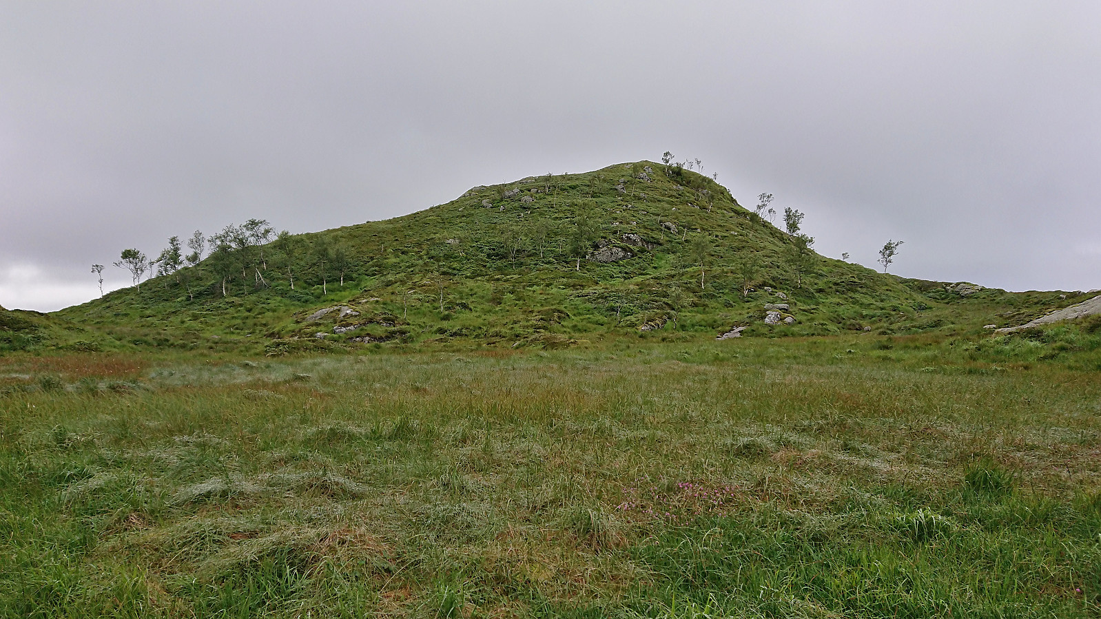
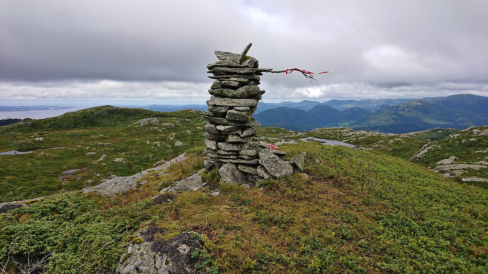
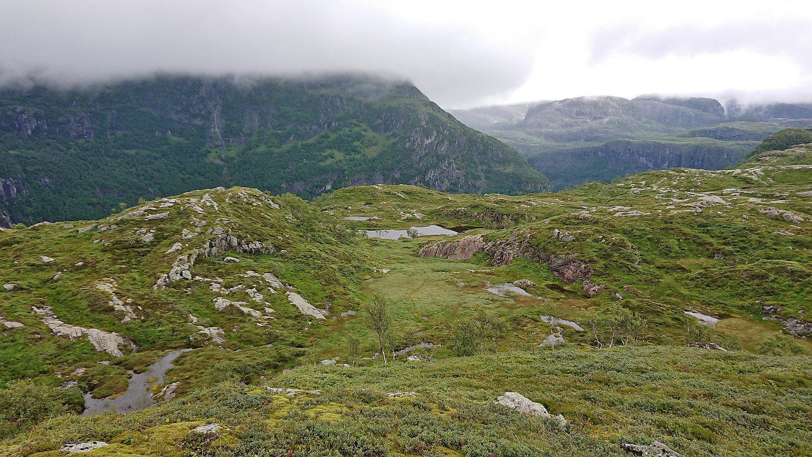
Before arriving at Hellebergsåta, it started to rain and the low-hanging clouds started looking more like fog. I could therefore not yet spot the main goal of the day to the northeast, namely Vardefjellet. Båthaugen could however be located and I headed there first. Note that basically every small hill in this area seemed to contain its own cairn, hence finding the right one, as none of them were marked, required use of the GPS.
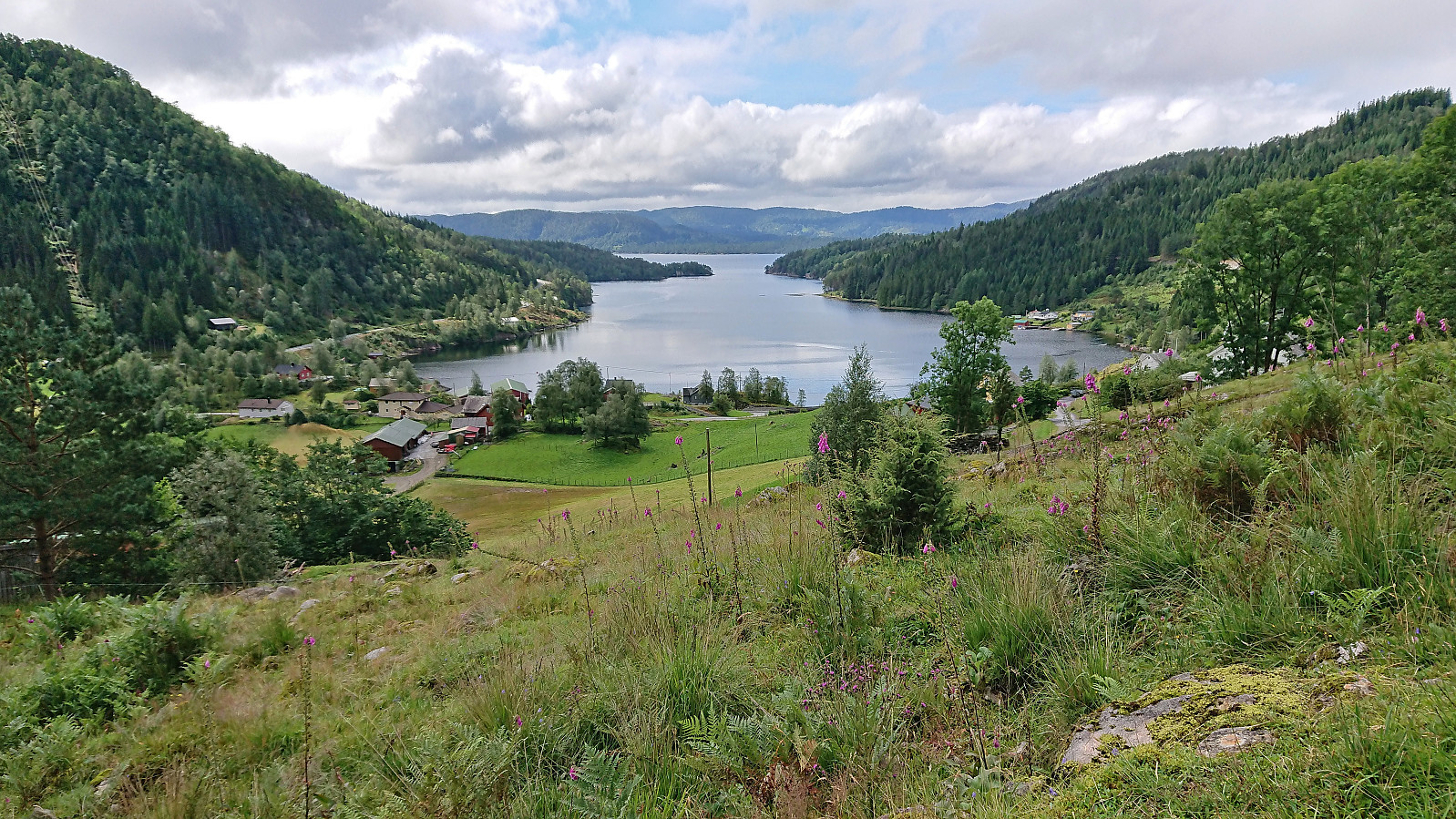
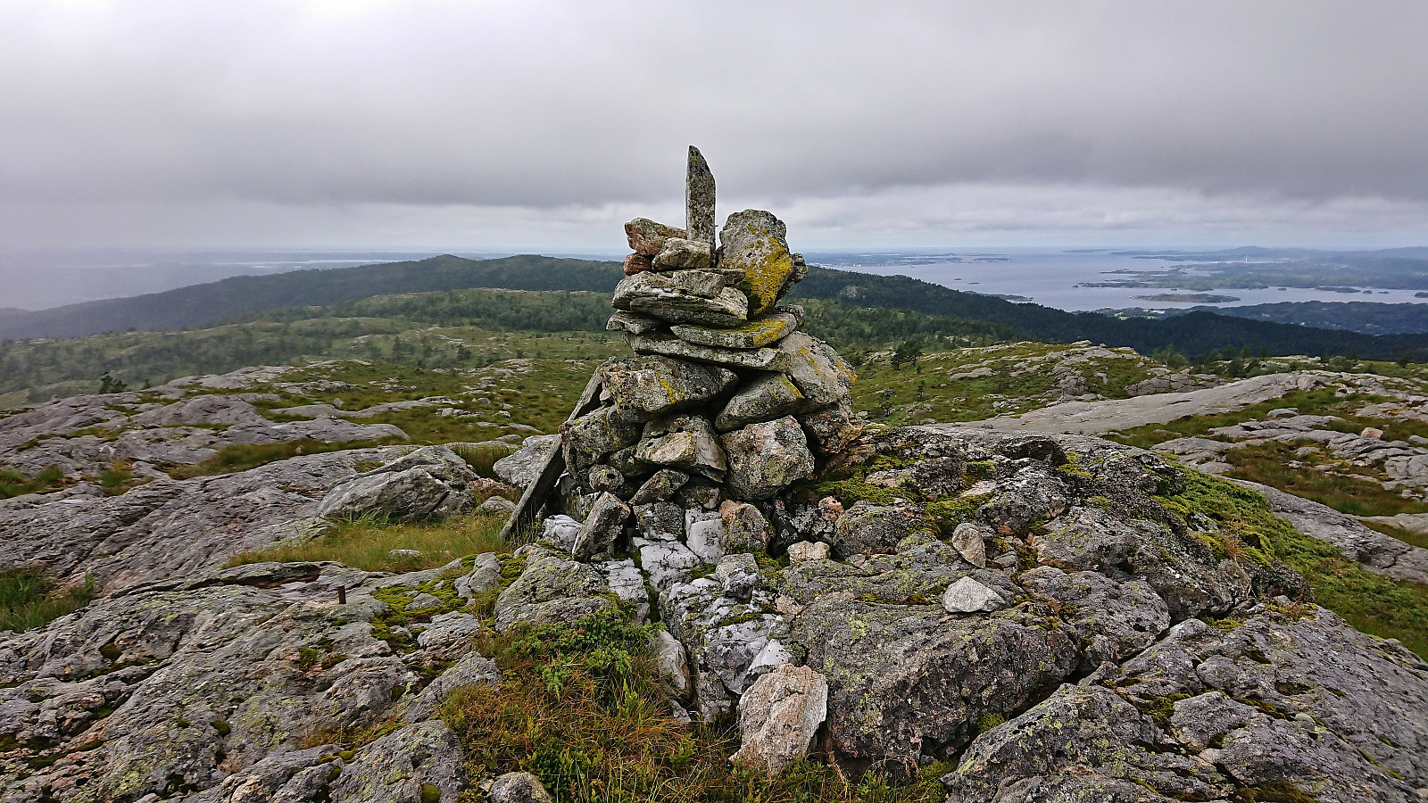
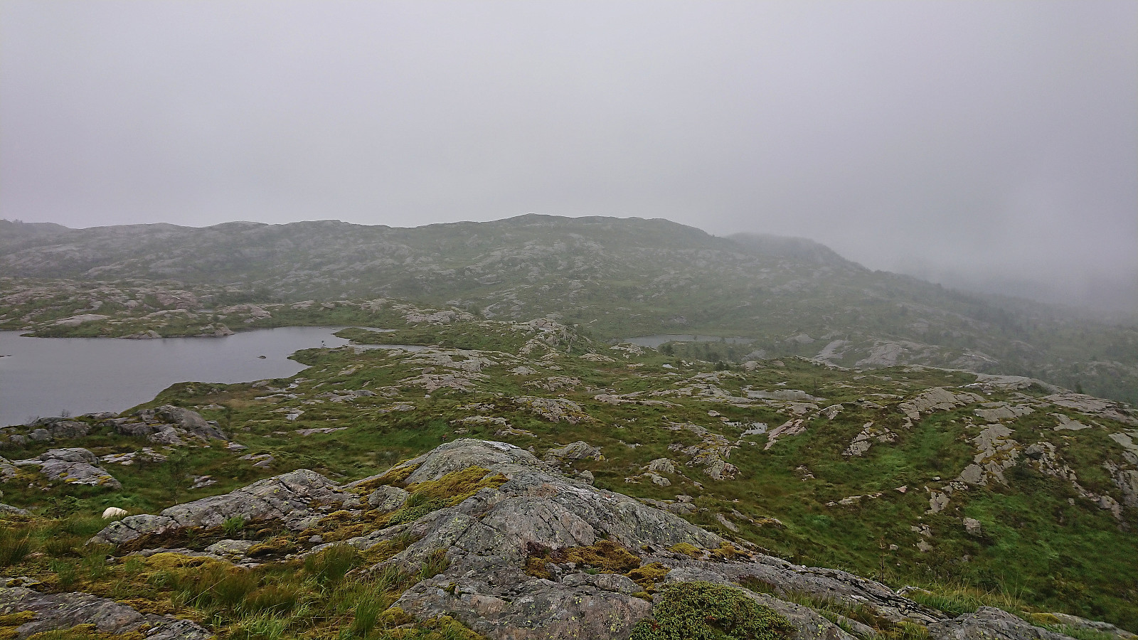
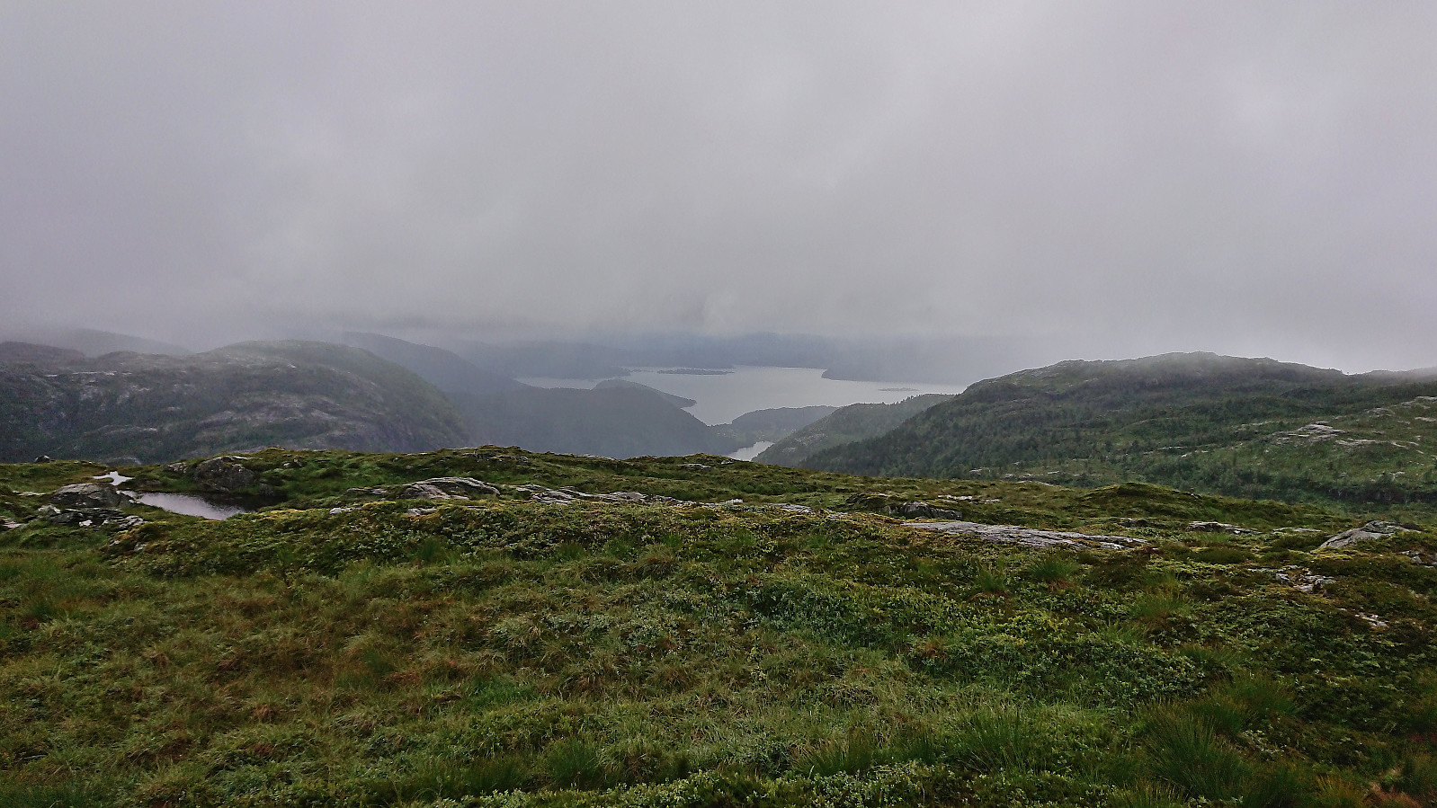
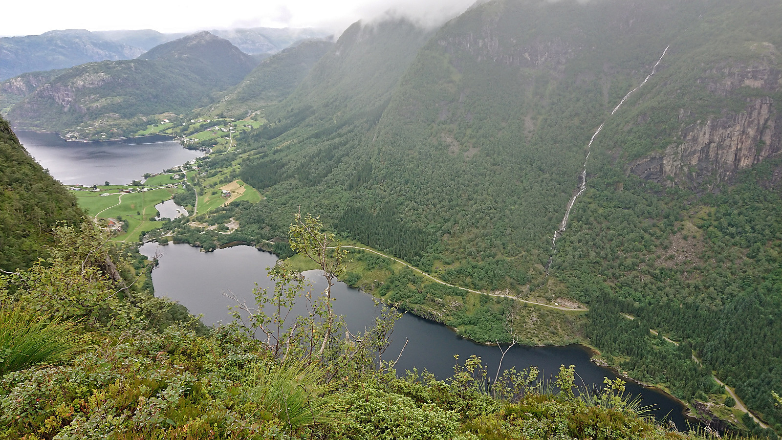
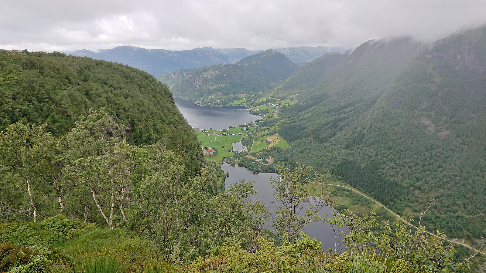
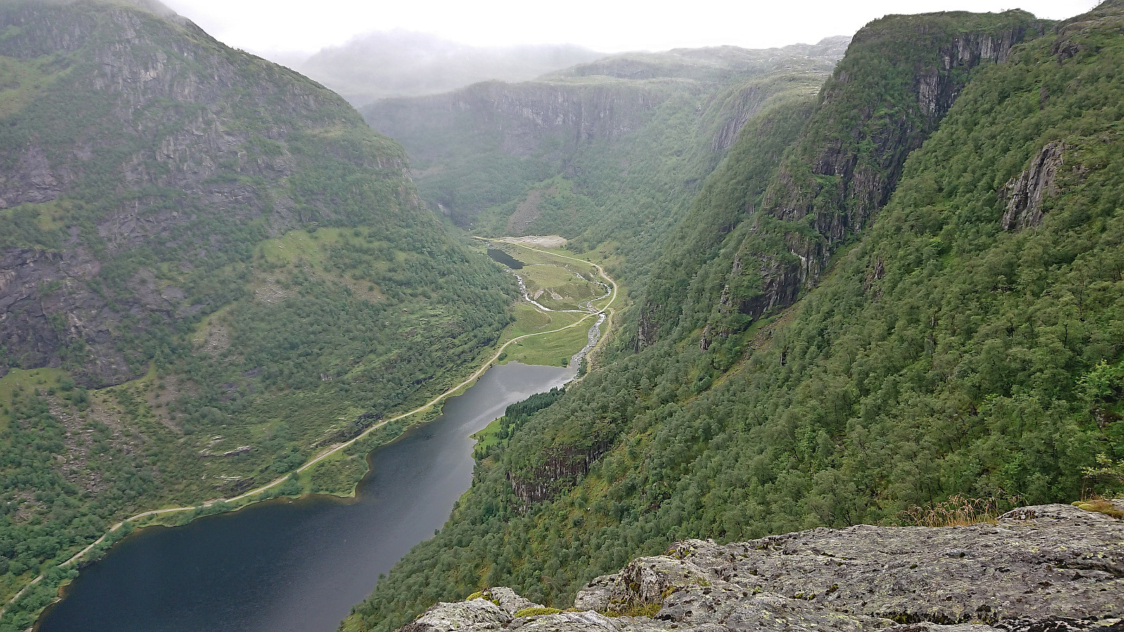
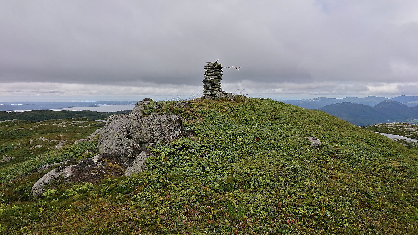
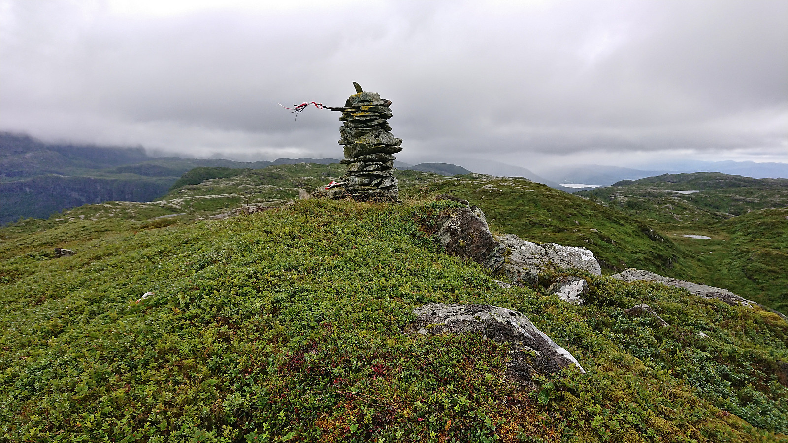
After a quick visit of Båthaugen, I continued north to Torskarhøyen before turning north to Kalnesnuten, as I had read somewhere that it would provide excellent views. Thankfully the weather improved slightly as I approached Kalnesnuten and I could enjoy spectacular views down to Storevatnet and north to Andvika. Definitely worth the minor detour if in the area! From Kalnesnuten I completed the final short distance to the summit of Vardefjellet where I had a short lunch break.
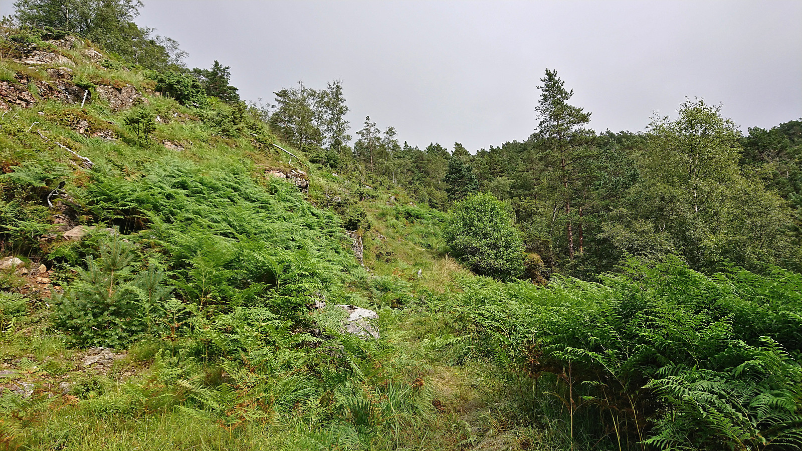
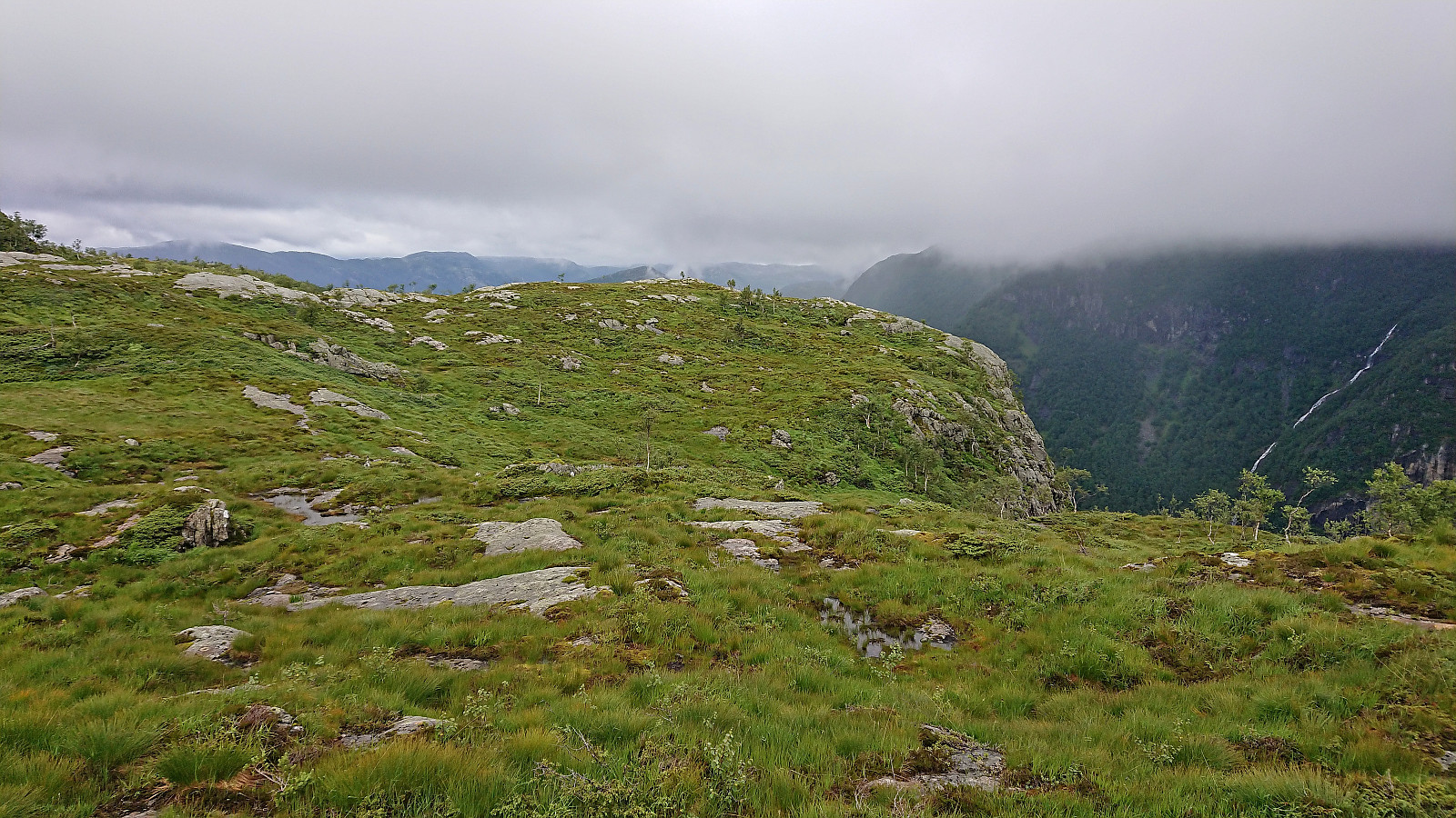
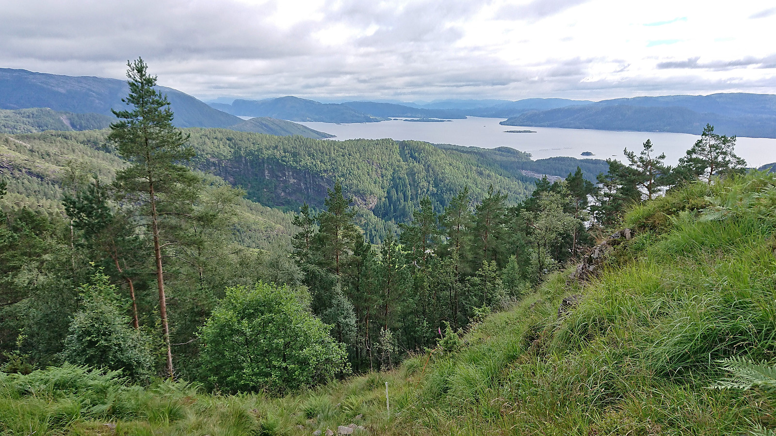
For my descent I followed more or less the same route, but skipped the revisits of Torskarhøyen, Båthaugen and Hellebergsåta. The weather also gradually improved and the sun even appeared as I was waiting for the bus at Mjanger. To conclude, while Mjangerssetret can be easily reached, and maybe also Hellebergsåta, the rest of this hike was all off-trail in, at least today, rather wet terrain, thus it is most likely easier to ascend Vardefjellet via the usual route from the north.

| Start date | 27.07.2022 12:21 (UTC+01:00 DST) |
| End date | 27.07.2022 16:47 (UTC+01:00 DST) |
| Total Time | 4h 26min |
| Moving Time | 4h 02min |
| Stopped Time | 0h 23min |
| Overall Average | 2.8km/h |
| Moving Average | 3.0km/h |
| Distance | 12.3km |
| Vertical meters | 758m |

User comments